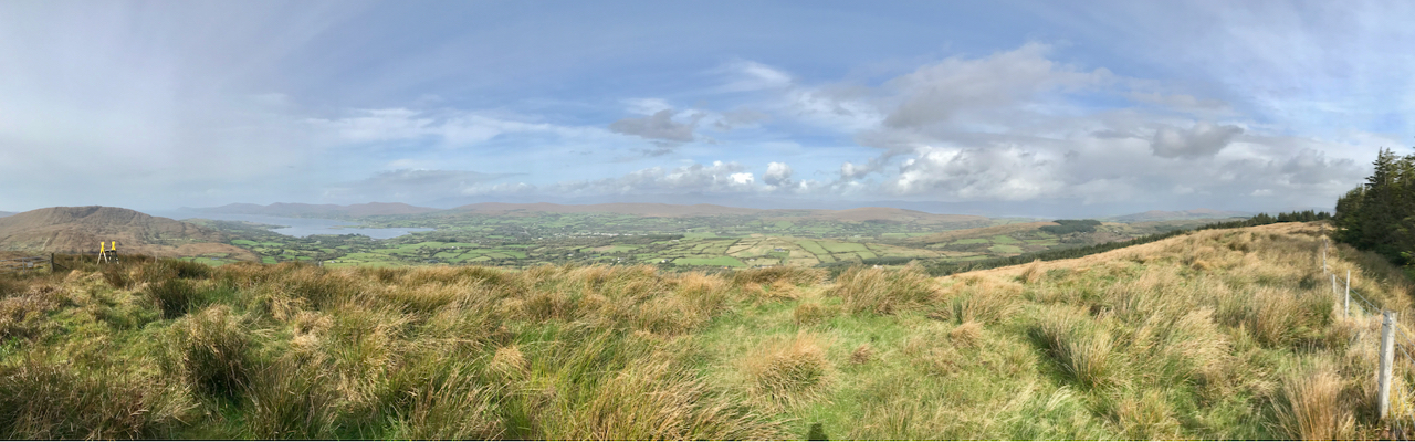
In this series I’m visiting and recording all the ‘mountains’ on the Mizen Peninsula in West Cork. I’m defining a mountain as any summit over 200m above sea level. If I hear you crying out ‘shame!’ – as a mere 200m peak can’t possibly be a mountain – then I can say our country is defined by its undulations, and here in the far west of Ireland all our outcrops, however modest, are dramatic and offer striking views over the landscape, such as the one above which looks north-west across Dunmanus Bay towards the Sheep’s Head, seen from this week’s climb.
Upper – approaching the ridges from the Schull direction, the three peaks of Corrin (left), Lisheennacreagh (centre) and Derrylahard (right) are set out before us. Lower – a closer view: Lisheennacreagh is on the left: its summit is hidden behind the forestry plantation
Last week we explored at the western end of the peninsula, where Knockatassonig – at a height of 204m – only just crept into our ‘mountain’ category. This week – much further to the east – we are more secure, as my chosen destination comes in at 274.6m. It’s actually higher than it looks as neighbouring Mount Corrin (no doubt about that one!) peaks at 288m, and appears much more of a climb from below. Today’s summit is not named on any map, so I’m probably courting controversy by calling it Lisheennacreagh, after the townland in which, by my calculations, the highest point is located. Have a look at the aerial view below:
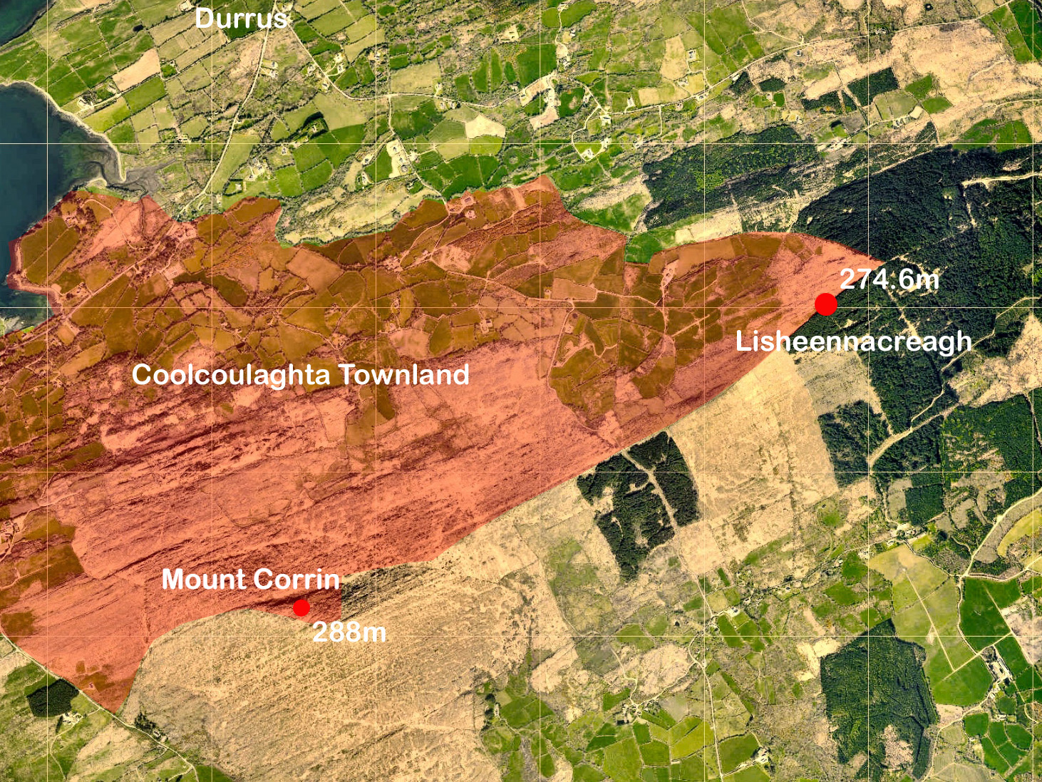
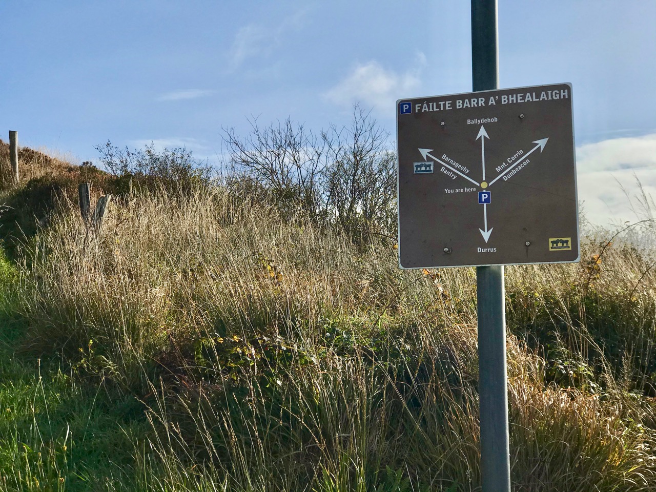
The pink shading shows the outline of part of the large townland of Coolcoulaghta, the southern boundary of which takes a sinuous course to include the summit of Mount Corrin. Over in the east, however, our high point is exactly on the boundary between the townlands of Coolcoulaghta and Lisheennacreagh – a boundary which is physically defined at that point by a substantial fence, whose course – part of the Sheep’s Head Way Mt Corrin Loop route – we followed all the way up to this summit from the designated car parking area on the Rathuane to Durrus road. After much on-site pondering, I decided to give the summit to Lisheennacreagh, as Coolcoulaghta townland already claims Corrin!
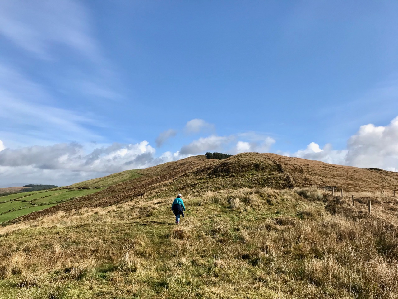
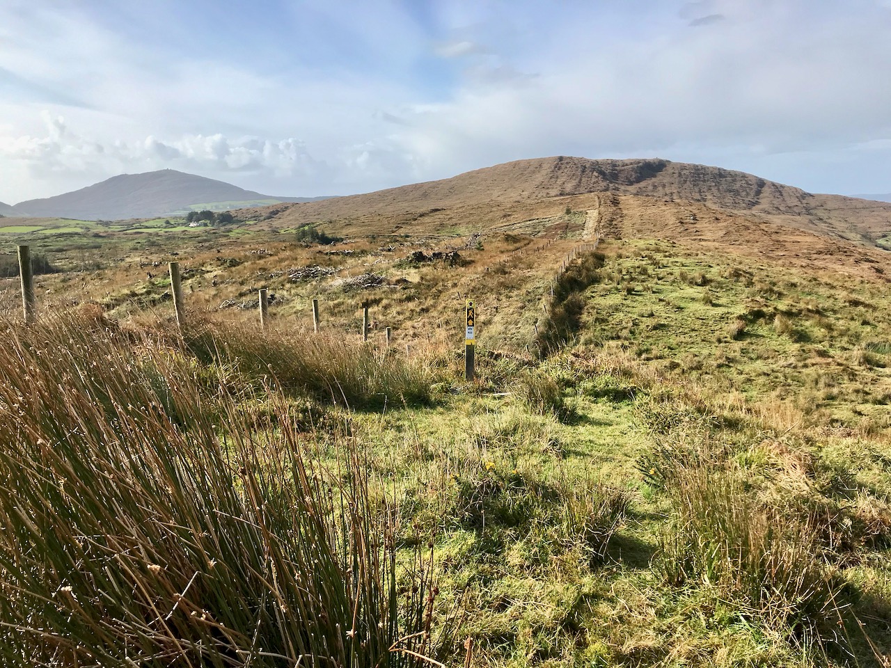
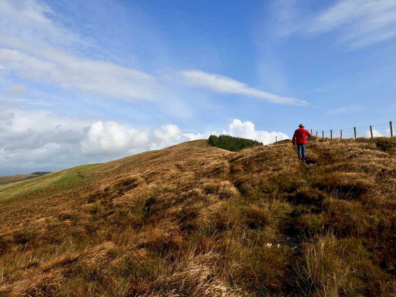
Upper – Finola is heading out for the high ground: the summit is in the far distance, beside the forestry plantation. Lower – looking back from the ascent, high Mizen summits are set out: Corrin is in front of us and Mount Gabriel is in the distance to the left
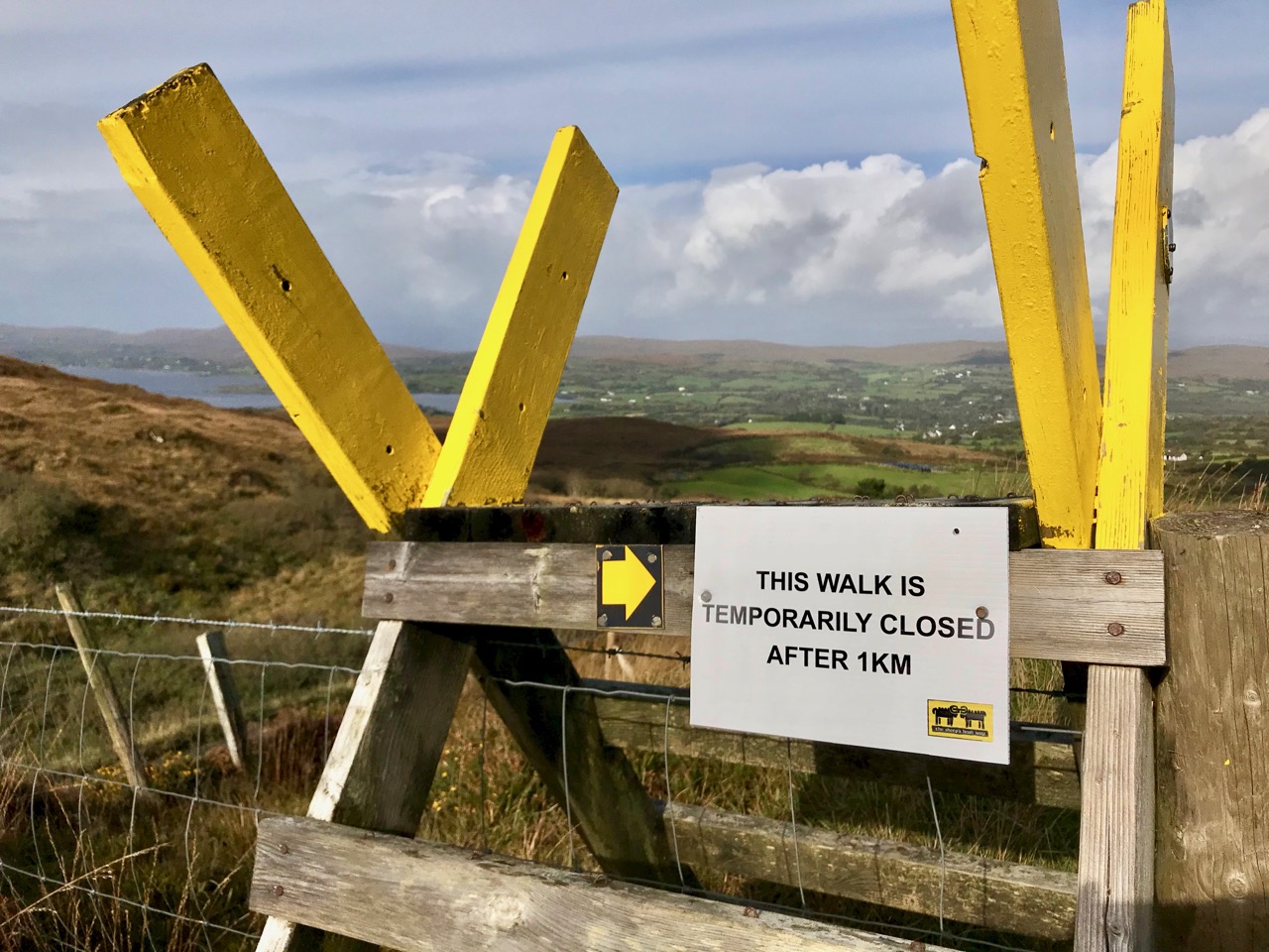
According to the place name records surveyed in 1841, Lisheennacreagh (Irish Lisín ne Cré) means Little fort of the preys or plunders – I was hoping I might find some traces of ancient earthworks on this summit, but there is nothing visible: buried deep in the inaccessible forest is a scheduled monument, described as a hachured univallate enclosure with a diameter of 22m. In fact it’s not possible to complete this loop walk at all, as the way to the next high point – Derrylahard, 301.7m – passes through heavy forestry, but access has been blocked by storm damage earlier in the year.
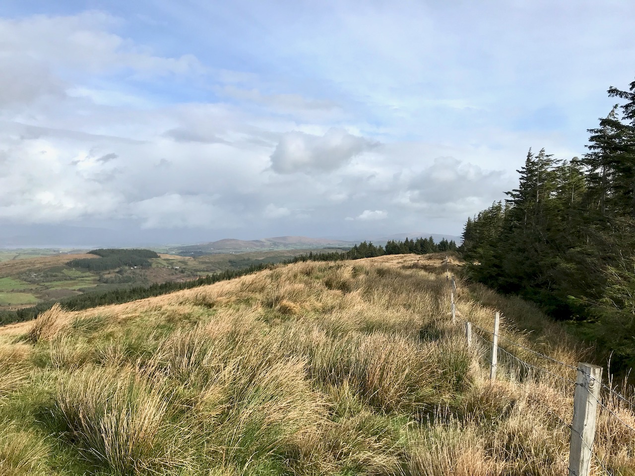
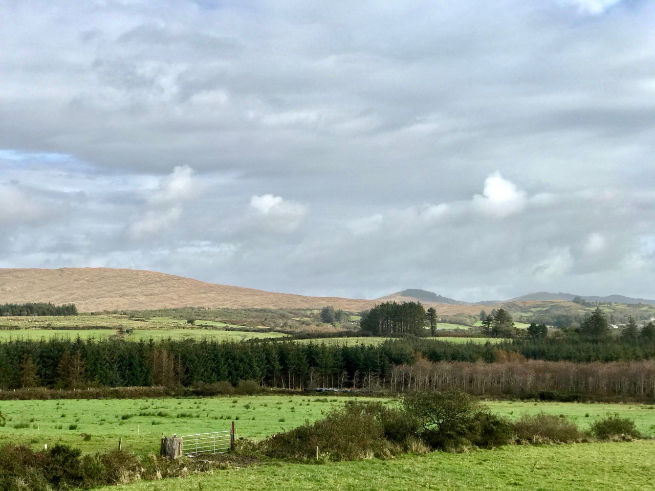
Above – autumnal shades of rough grazing continues all the way over the summit: you can go only as far as the next section of forest. Our companions on the walk were just a few ponies
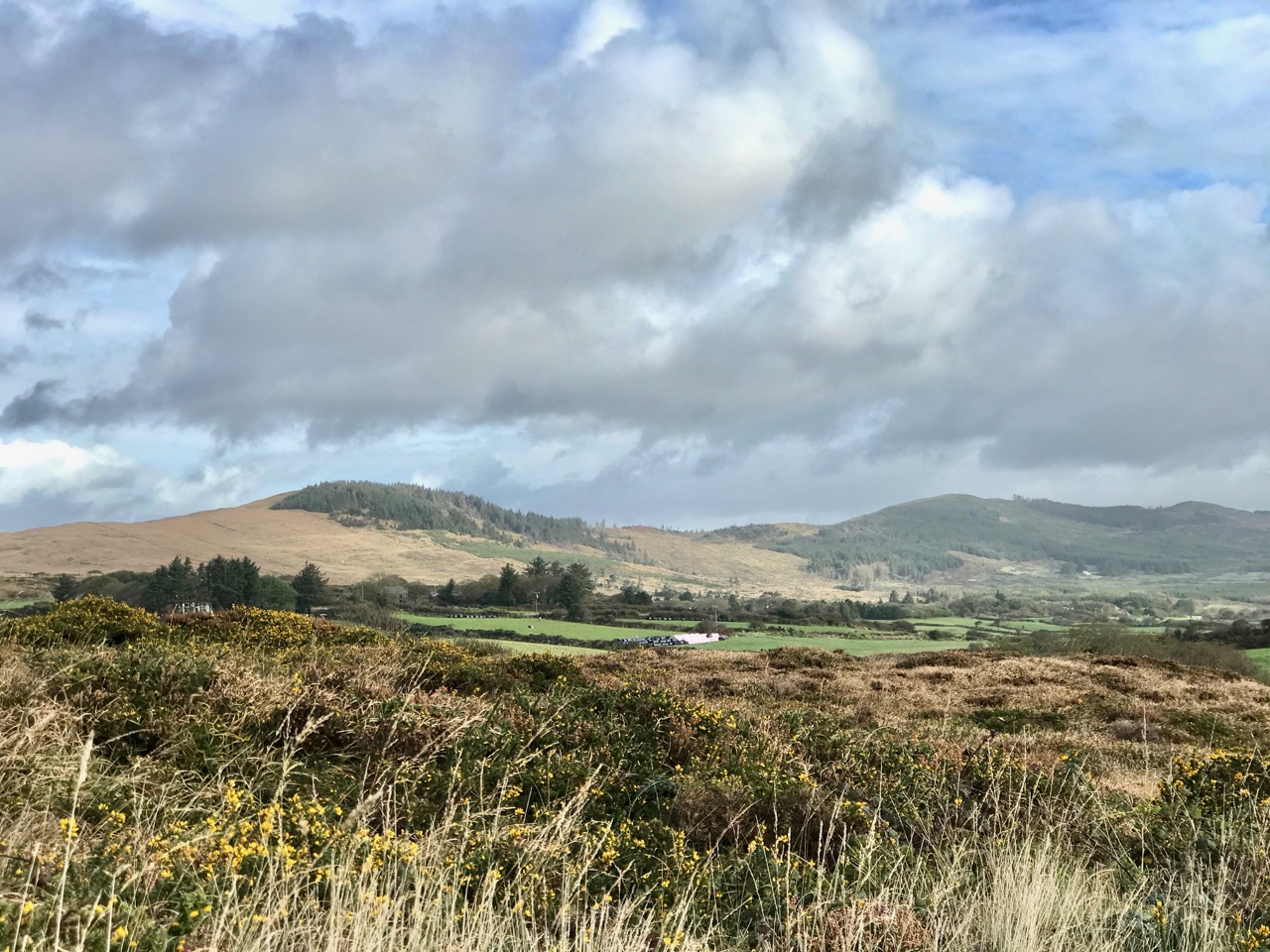
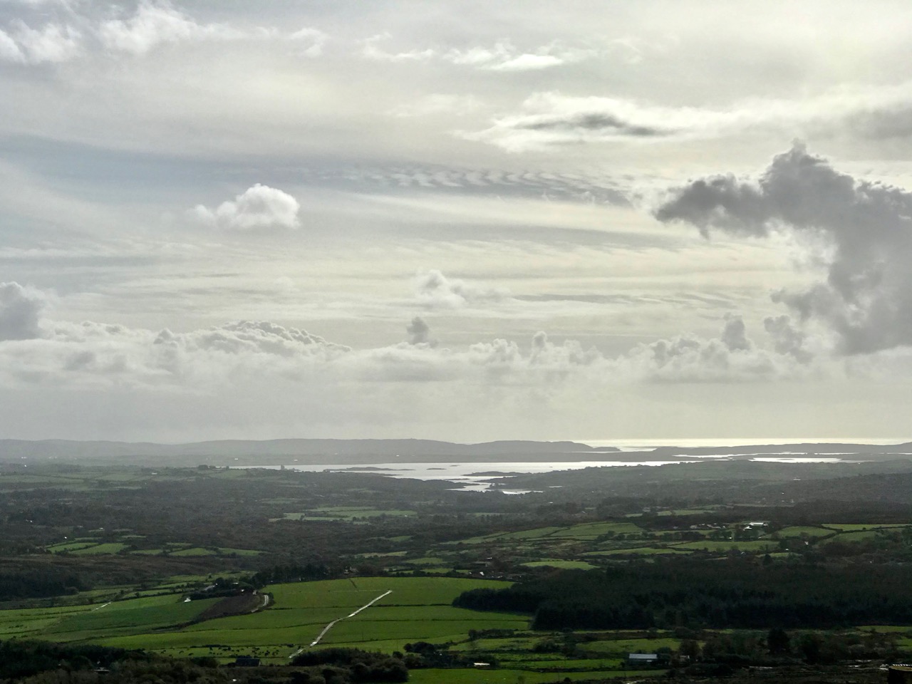
It may seem a fairly featureless walk, but it was well worth the efforts for the superb views in all directions. We were lucky with the day: the mild weather this year has continued right through September and well into October. The mixture of blue skies and scudding clouds emphasises the contours, shadows and natural features, wherever you look.
![]()
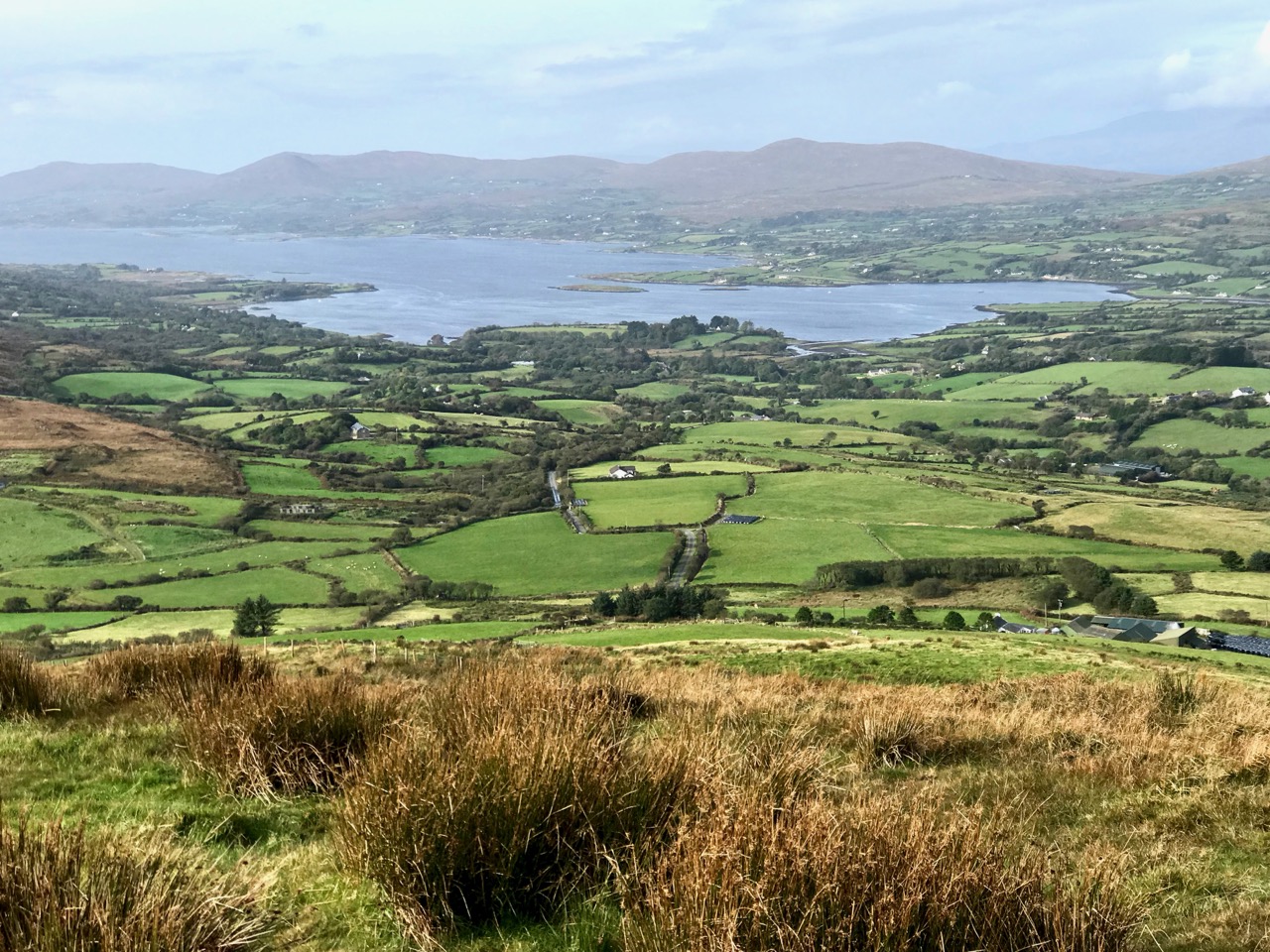
Rewarding views from the Lisheennacreagh climb: upper – looking across Roaringwater Bay to Baltimore; lower – Cape Clear in the far distance, with another view of Gabriel, the most dominant feature of our Mizen landscape
I found some entries from the Duchas Schools Folklore Collection, for Durrus School. I could not find anything specific to Lisheennacreagh, but I liked this introduction to ‘My Native Townland’ from Brenda MacCarthy dated May 9th 1938:
I live in the townland of Coolcolaughter away out in the country, far from any stuffy unpleasant town or city, and almost two miles from the village of Durrus. My home is at the foot of the mountain in a quiet peaceful valley where my father tills, and sows, and reaps, from dawn to dark year in year out, happy and prosperous, and thankful to God for health and existence . . .
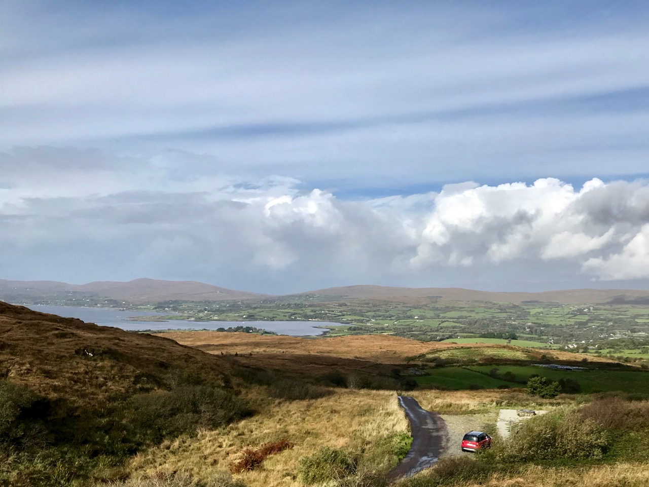
One aspect of Lisheennacreagh is that it is one of the more accessible peaks. There’s a place to park your car (with a fine view looking out to Durrus!), good signage and waymarks. Once the path is repaired beyond this summit, you can go on to Derrylahard (which will be the subject of a future post) and complete the loop by going round Glanlough to Durrus, then back over Corrin – a marathon 17km in all. Choose a good day and you couldn’t hope for a more inspiring hike.
Good accounts of this route and the whole Sheep’s Head system of trails can be found in Amanda and Peter’s book Walking the Sheep’s Head Way – Wildways Press, 2015. Also, have a look at this Living the Sheep’s Head Way post.