One of the most fascinating archaeological sites in West Cork is Templebryan, close to Shannonvale, a complex that includes a multiple stone circle and an early ecclesiastical site with a large pillar stone that may be contemporary with either of those sites. The location was likely a focus of activity from the Bronze Age to the present day.
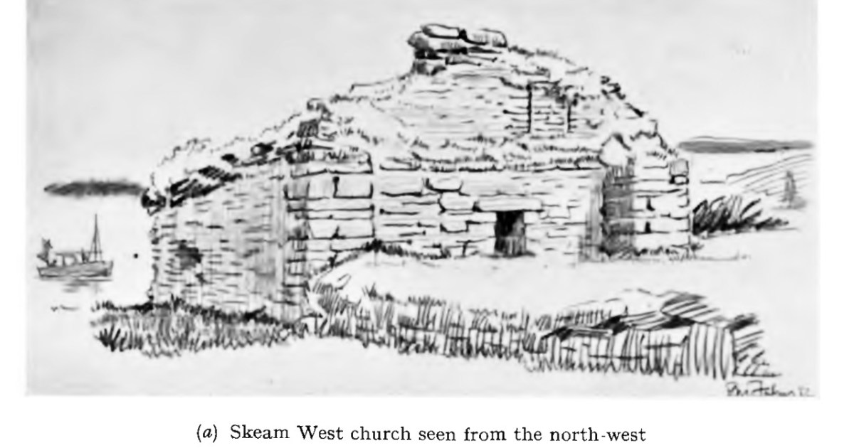
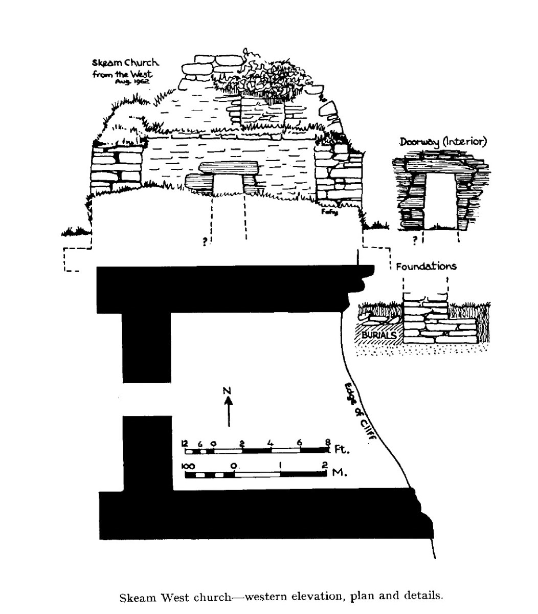
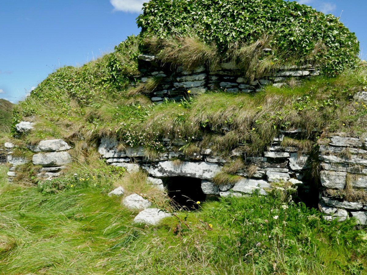
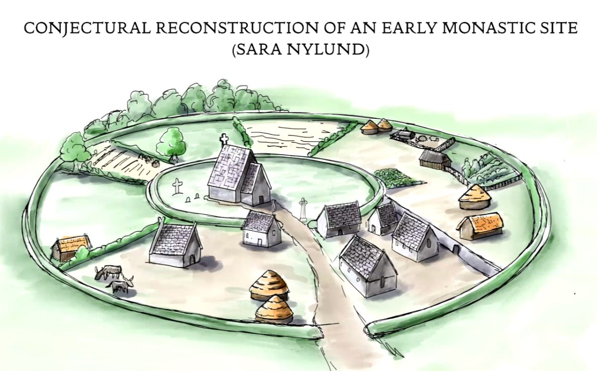
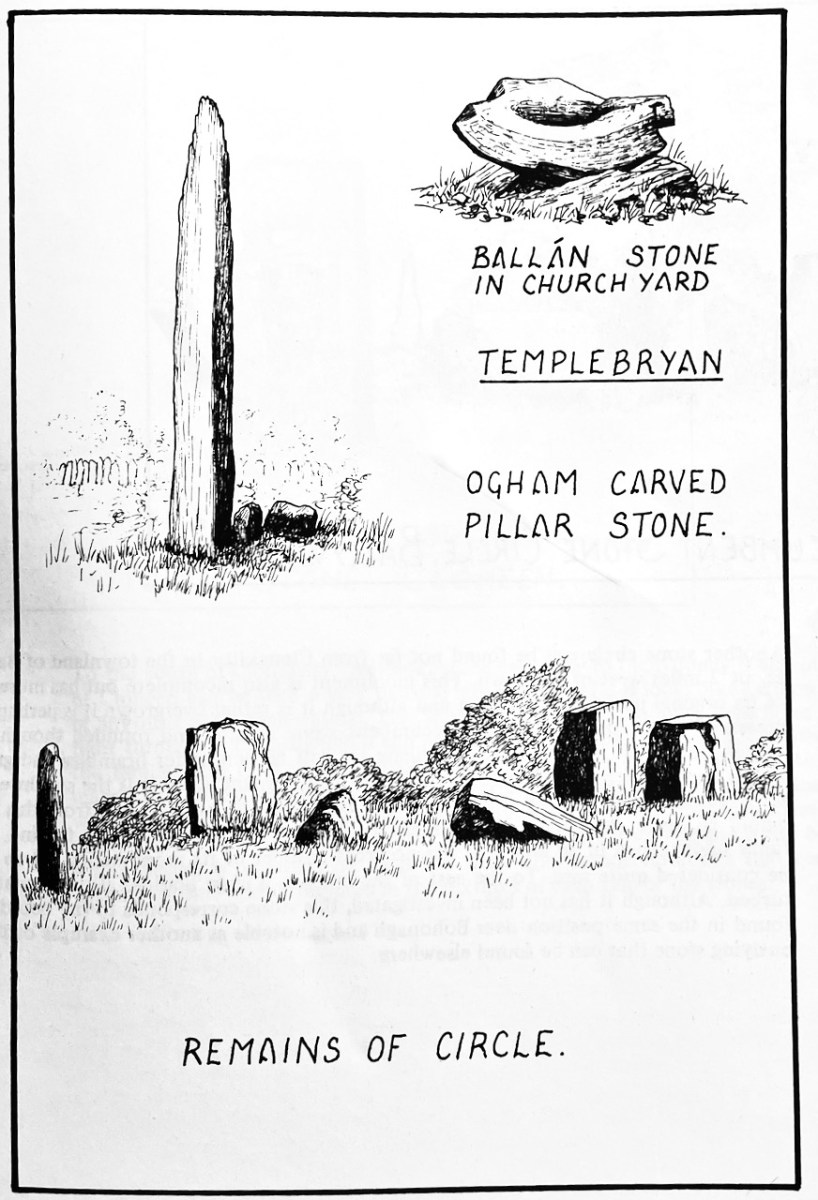
Before we explore the site itself, and because I haven’t written this kind of post for a while, you might like to (re)familiarise yourself with both stone circles and ecclesiastical sites. For the stone circles, go to Stone Circles of West Cork: an Introduction. At the bottom of the post under ‘Related” you will find links to the other three posts (Multiple Stone Circles, Five-Stone Circles and the Discussion). There are very few of the Templebryan type of ecclesiastical sites in West Cork but one I have written about is at Croagh Cove – it will give you an excellent idea of this type of site. I am inserting here one of the illustrations from that post.
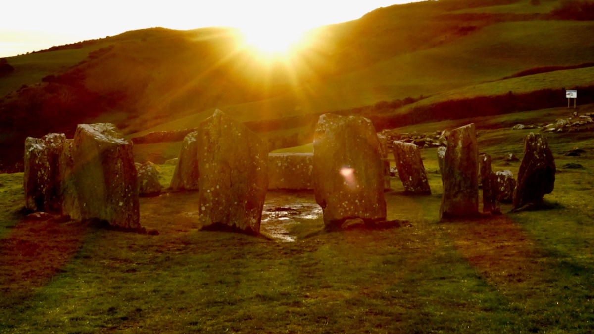
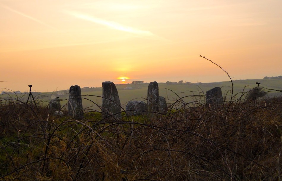
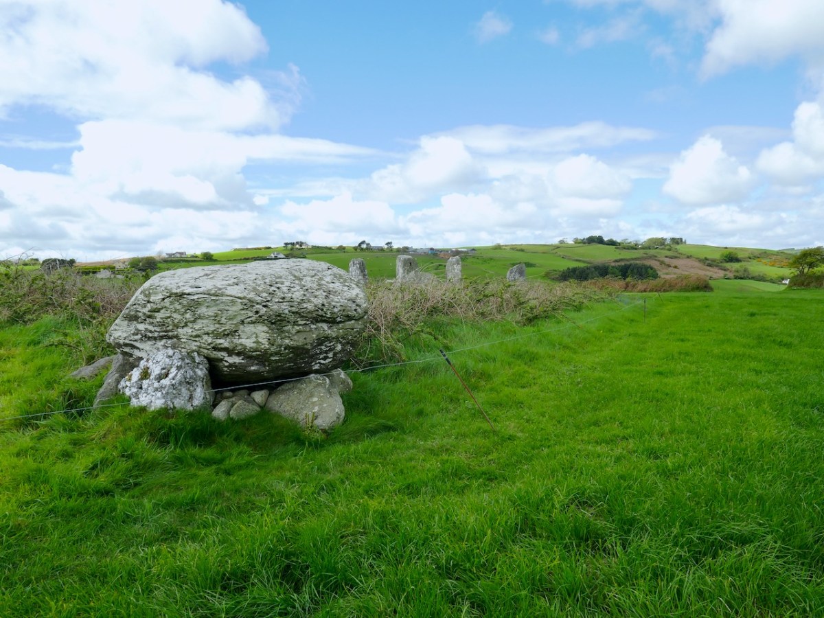
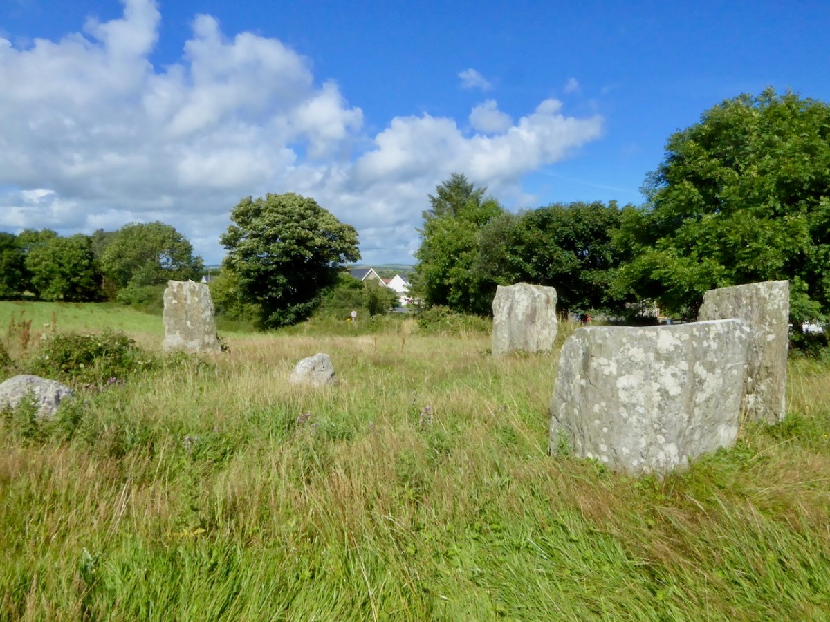
Since it’s the older, let’s start with the stone circle. This is a multiple stone circle. Although only 5 stones remain (one fallen), there were originally 9 stones in the circle. What’s unusual about this circle is the presence of a near-centrally placed quartz boulder. There are several other stone circles with such internal monoliths and all seem to be deliberately off-centre.
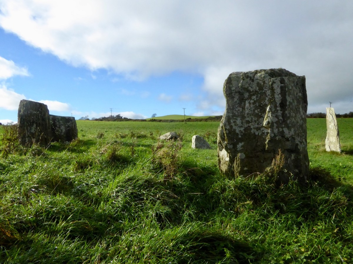
The other feature that’s noticeable here is that most of the stones still standing have flat tops – that seems to be a deliberate choice and can be observed in some other stone circles too.

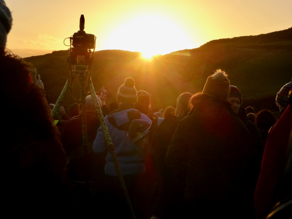
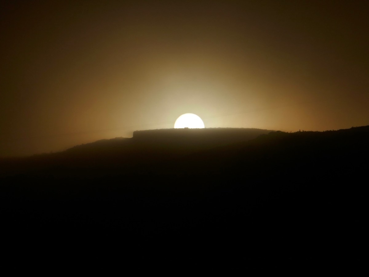
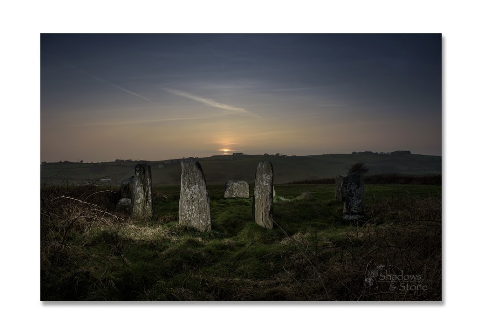
The probable alignment is, like Drombeg, to the winter solstice. However, Mike Wilson in his Mega-What site, also traces lunar alignments.
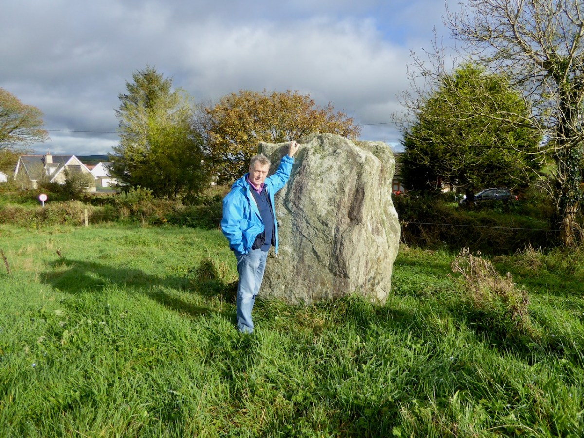
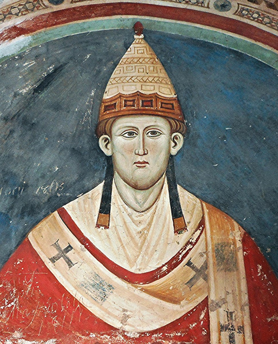
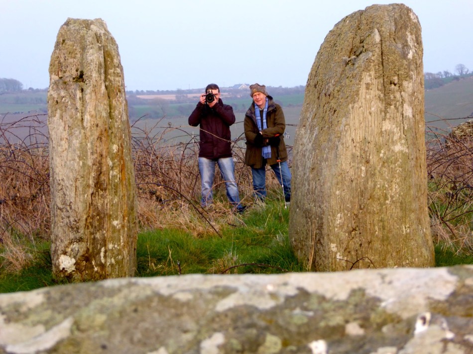
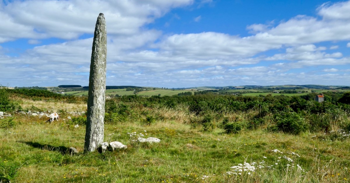
Outliers – standing stones close to or at some distance from the circle, are an accepted feature of some stone circles, and some antiquarians have posited that the pillar stone in the ecclesiastical enclosure may have been one of them, later adapted and christianised for use by the monks. Since it has not been excavated we cannot know if this is so. The late great Jack Roberts thought it was possible – here is one of his marvellous illustrations of the various things to be found at Templebryan.
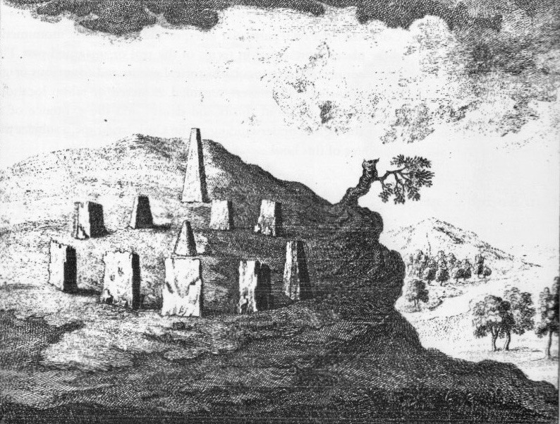
Templebryan was of great interest to antiquarians and Marian O’Leary, in a wonderful essay in the Clonakilty Journal, has looked at their often fantastical renderings of the stone circle. This is one of her illustrations, dating from 1742!
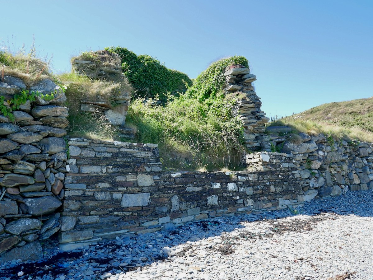
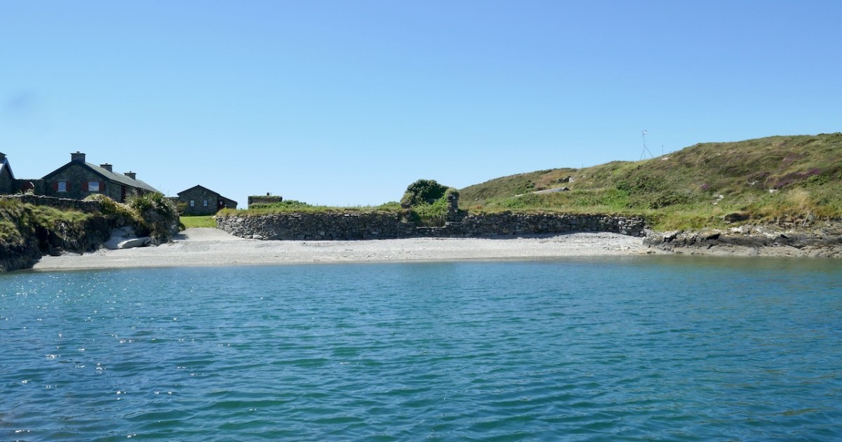
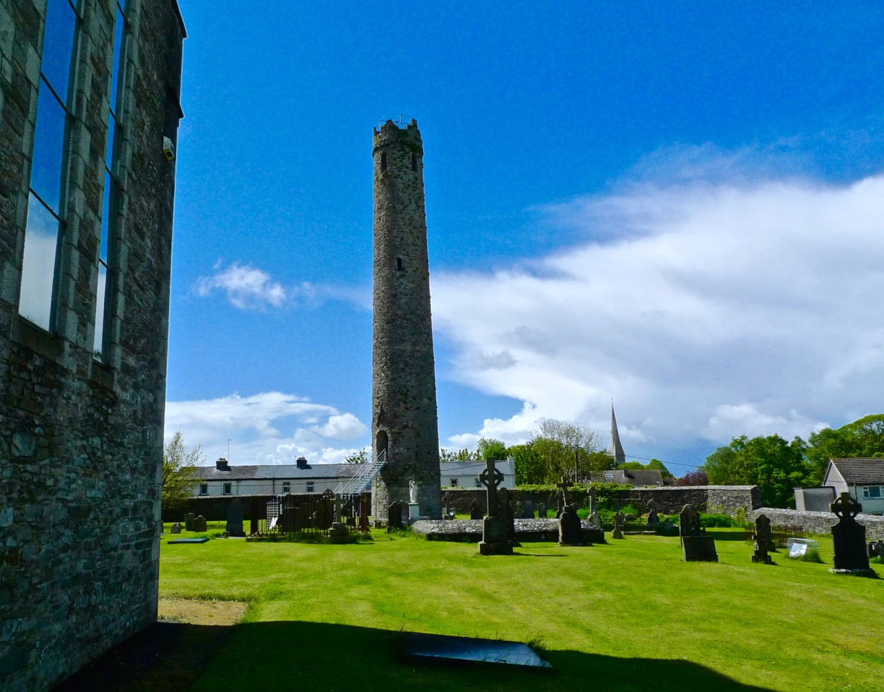
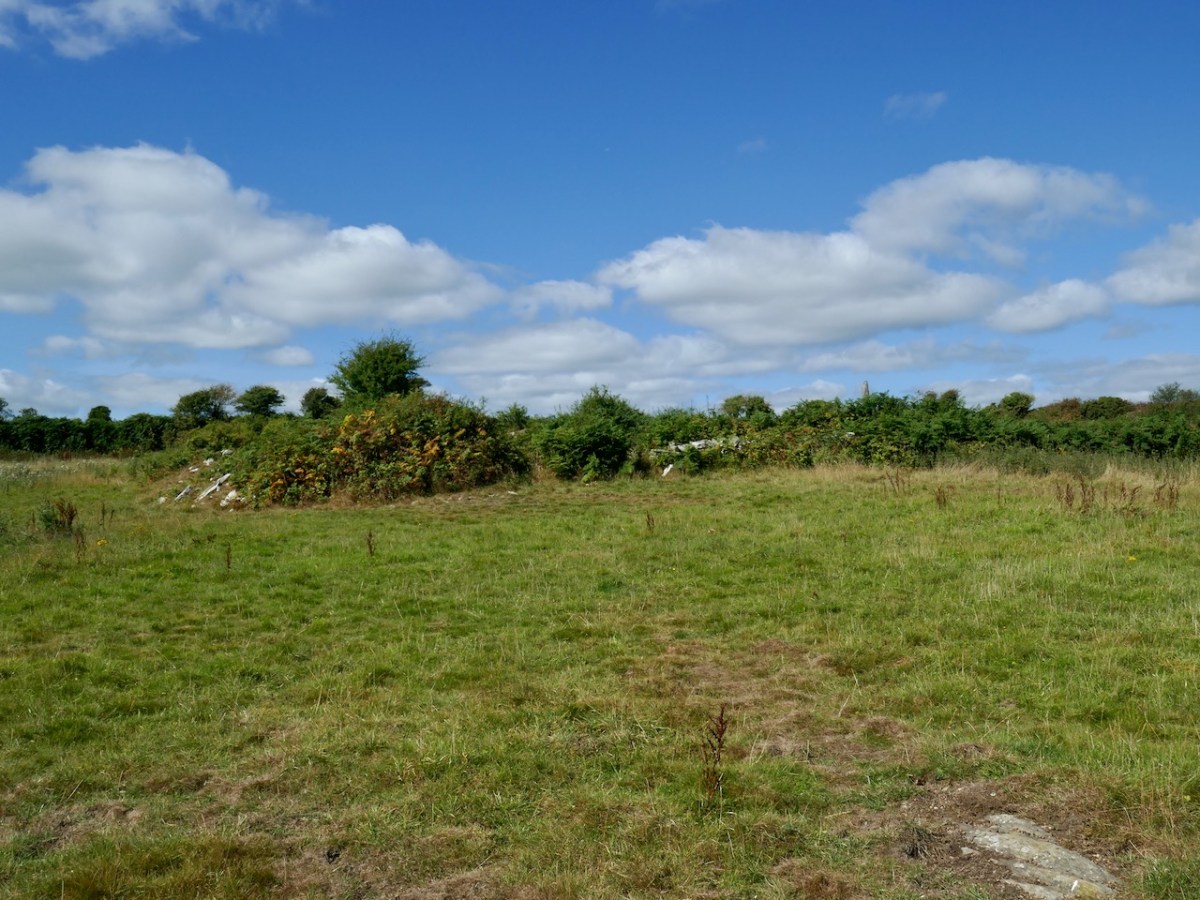
The ecclesiastical site is located a field over to the northwest. We don’t have a secure date, but it fits the pattern of such foundations from the early medieval period with a likely date between the 600s to the 900s.
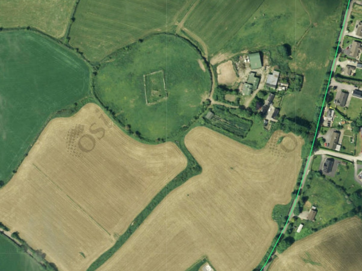
The aerial photos and the maps confirm that the central church was a rectangular building and it sat within a circular enclosure which now forms the field boundary.
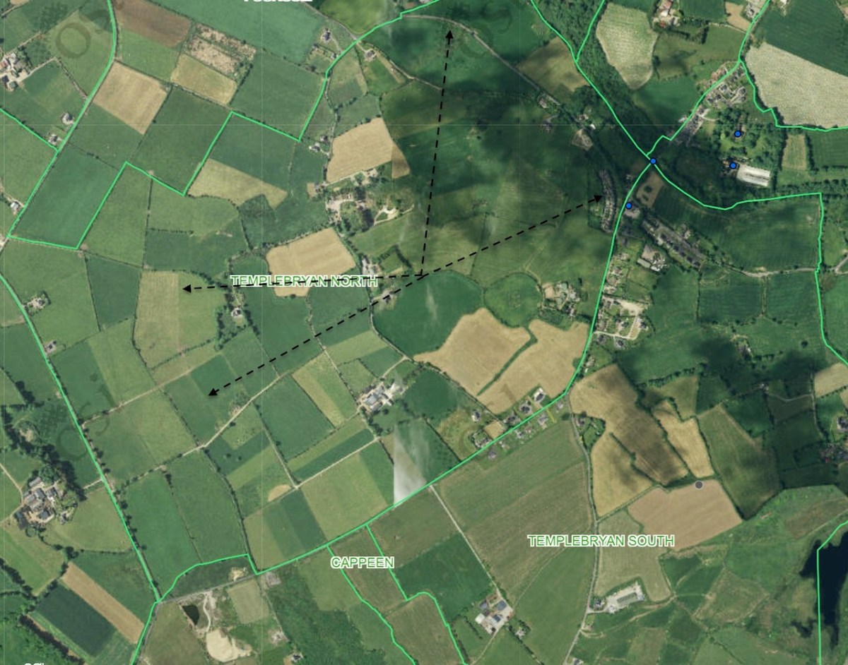
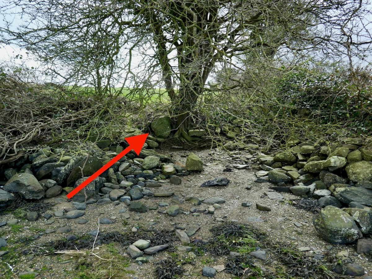
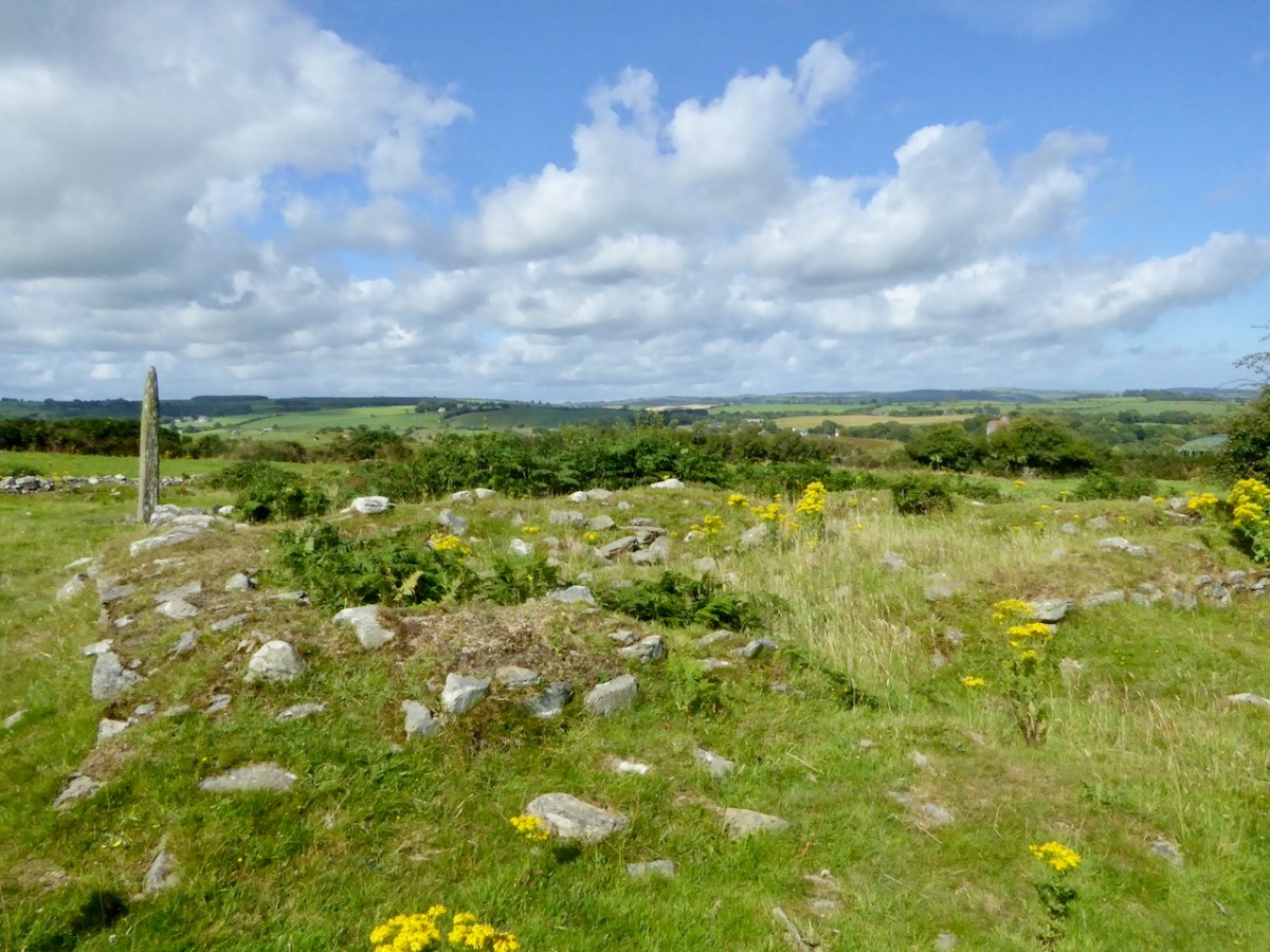
These early sites often had an outer circular boundary as well, and traces of this can be found still – I had a close look at the aerial photo and my arrows (above) point to where the line of the outer circle might be. But that’s mostly speculation, or perhaps wishful thinking on my part – what do you think?
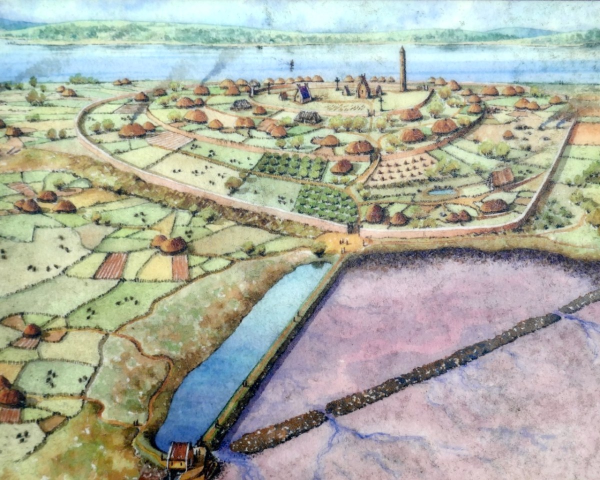
The Nendrum site shown in the Croagh Cove post is a good example of this outer and inner enclosure pattern for early Irish monastic foundations. Above is an illustration of what that might have looked like, taken from the information board at Nendrum, which we visited in 2022.
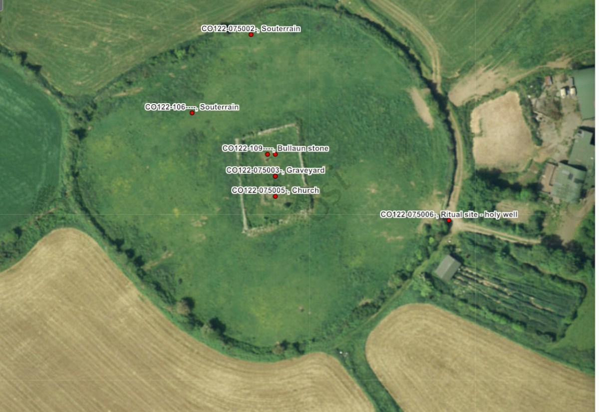
The ogham stone and a bullaun stone lie inside the enclosure. Bullaun stones are commonly found at ecclesiastical sites – abbeys, monasteries, old churches. Although they may be far older and have been used in some kind of food processing (such as grinding acorns) it seems that their obvious affinity to fonts has caused them to be brought to religious sites over the centuries. Read Robert’s post The Enigmatic Bullaun for the variety of beliefs (from blessings to cursings) that have accrued to bullaun stones.
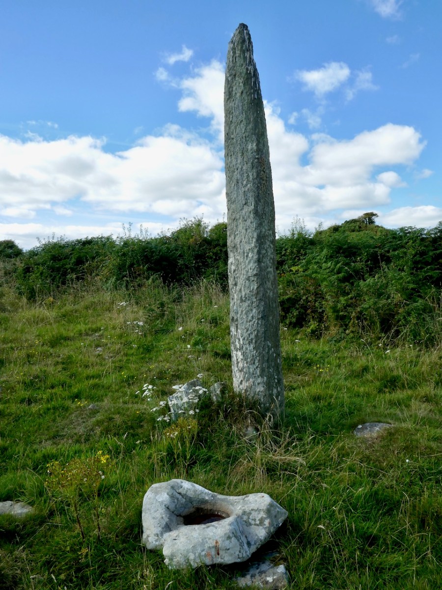
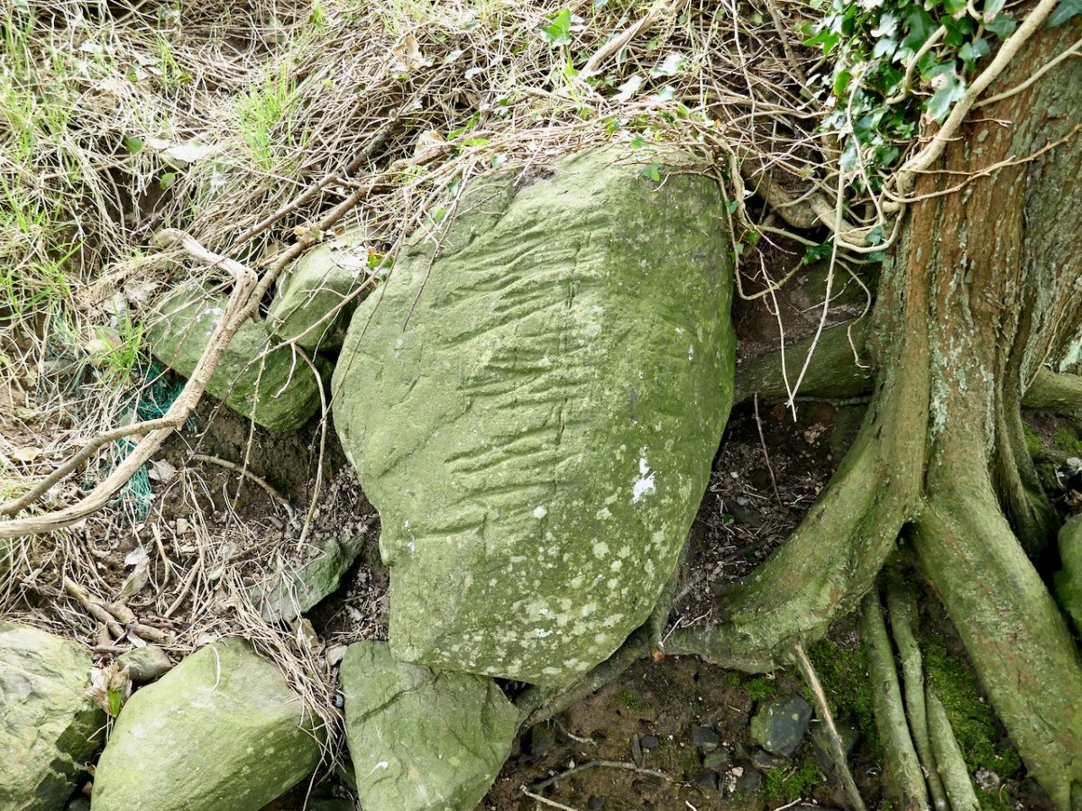
The ogham stone is a tall pointed pillar and it has both an inscribed cross and ogham writing on it. However, it is impossible to make them out. The only mark I saw that looked like a cross was this one. Not very convincing.
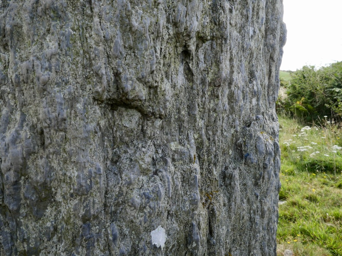
And the ogham is just as hard to see. According to the National Monuments listing it was read by Macalister in 1945 as ANM TENAS MACI V. While Macalister was a giant in the field of ogham research, he has been criticised for erroneous readings. If he was correct this would read (pray for?) The soul of Tenas, son of V.
There are two souterrains in the enclosure, neither of which are accessible now. One of them was investigated in 1974 and consisted of three earth-cut chambers joined by creepways.
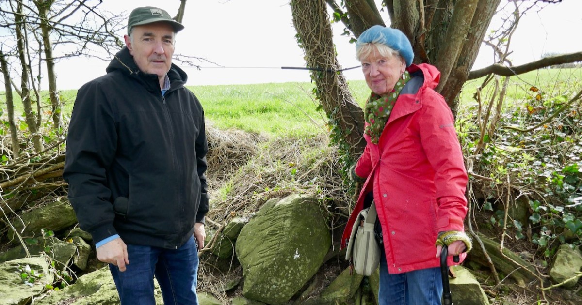
Finally, we have a holy well. And of course I have visited it in the company of Ms Holy Wells herself, Amanda Clarke.
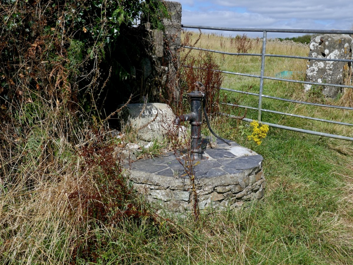
See her account of the well and our visit here. In it she refers to frisky horses and she wasn’t kidding.
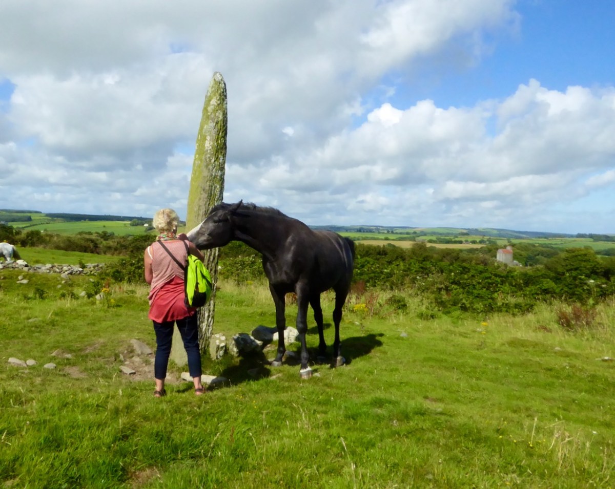
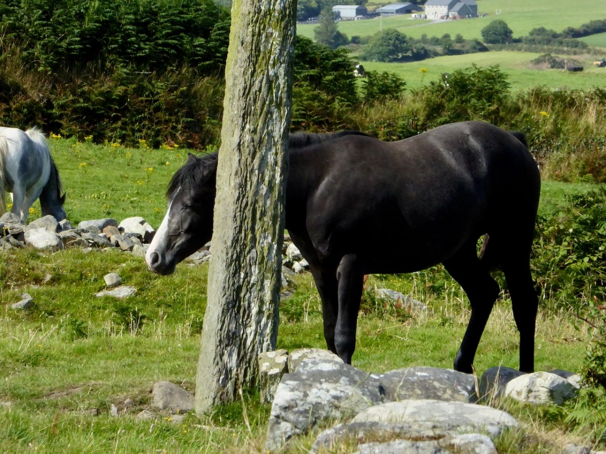
The same horse later showed us how useful he found the ogham stone for those much-needed scratches. Heaven!
Templebryan is a great site if you get a chance to visit. Just please be aware that the ecclesiastical part it is on private land and it is always proper to knock in the farmhouse door and ask for permission. The stone circle is accessible from the road.