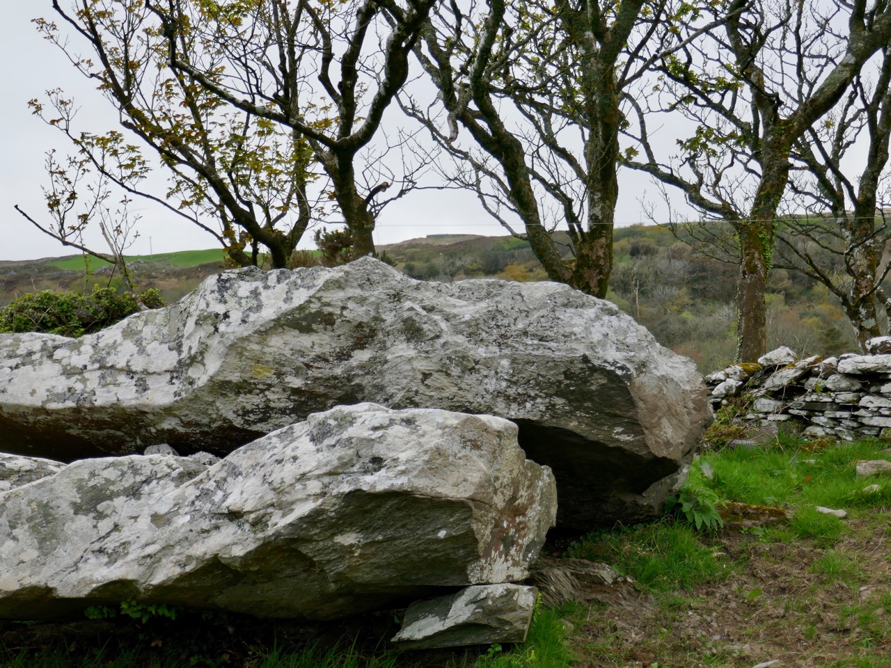
Rock Art and Winter Light at Derrynablaha

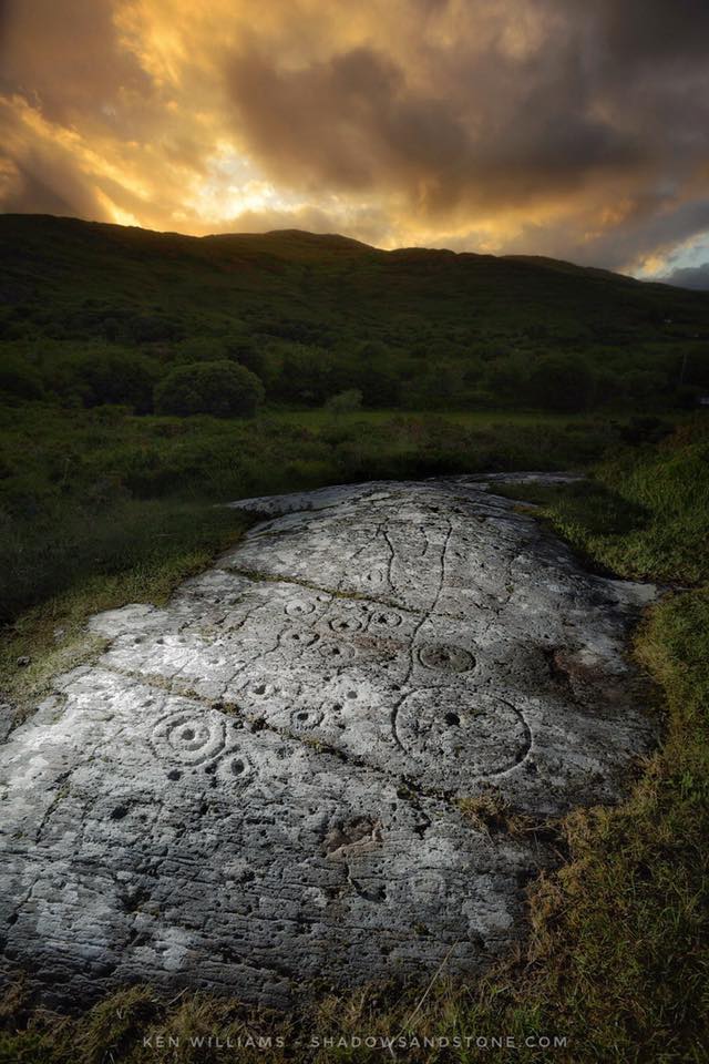
Rock art can be astounding or underwhelming. What makes it one or the other is light.
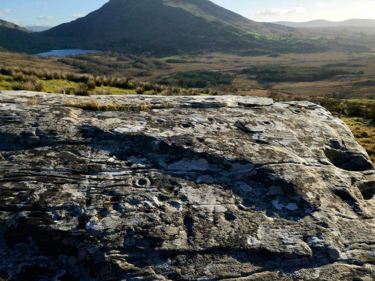
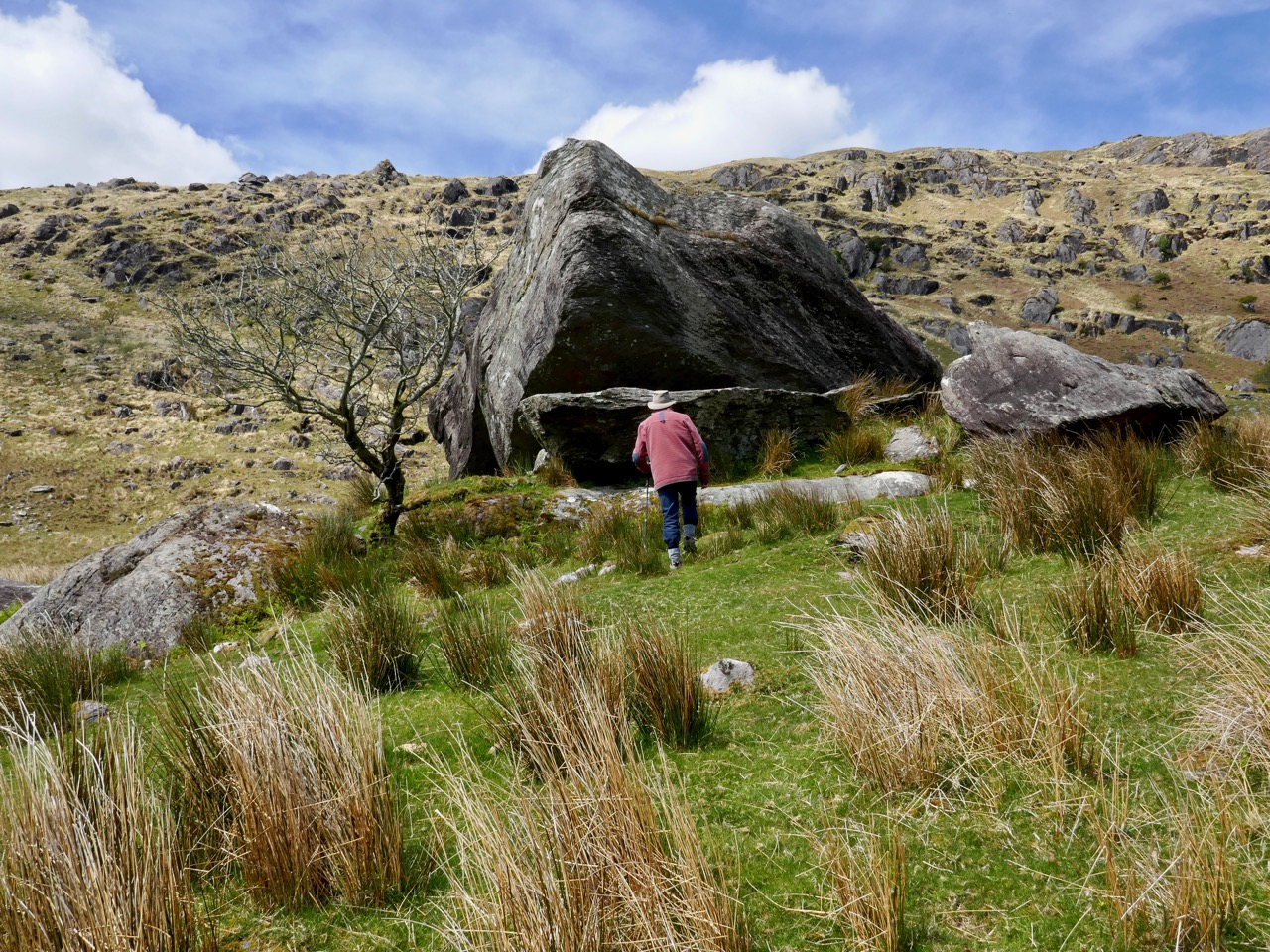
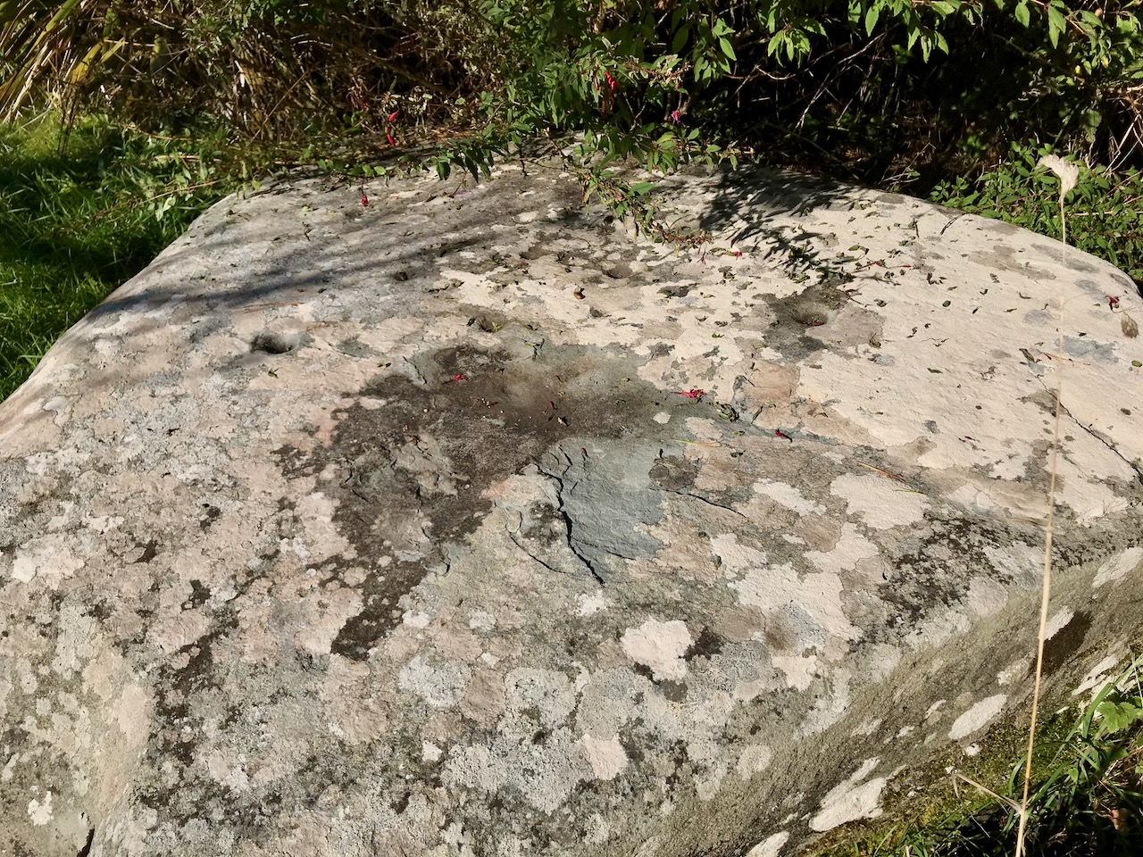
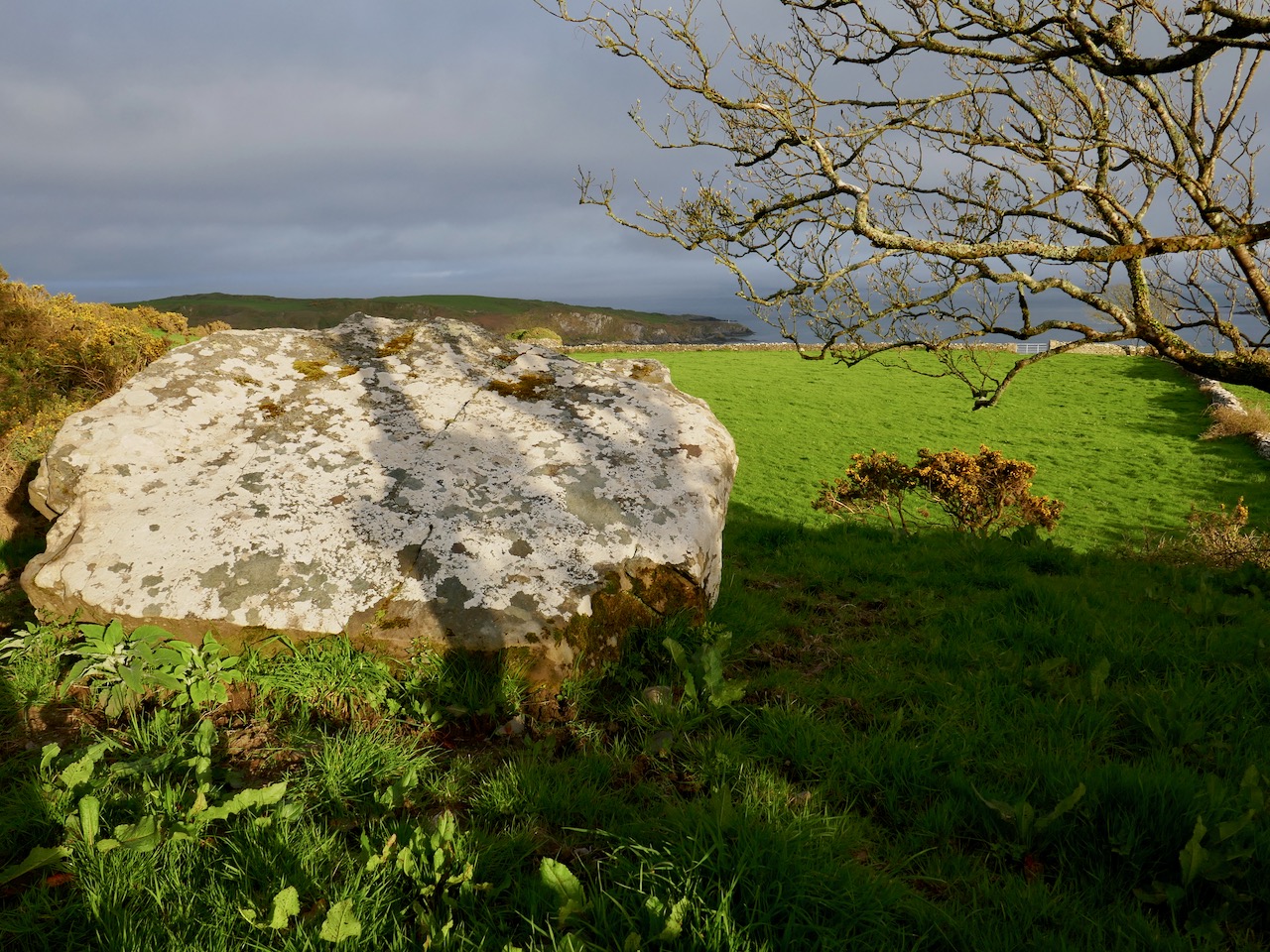
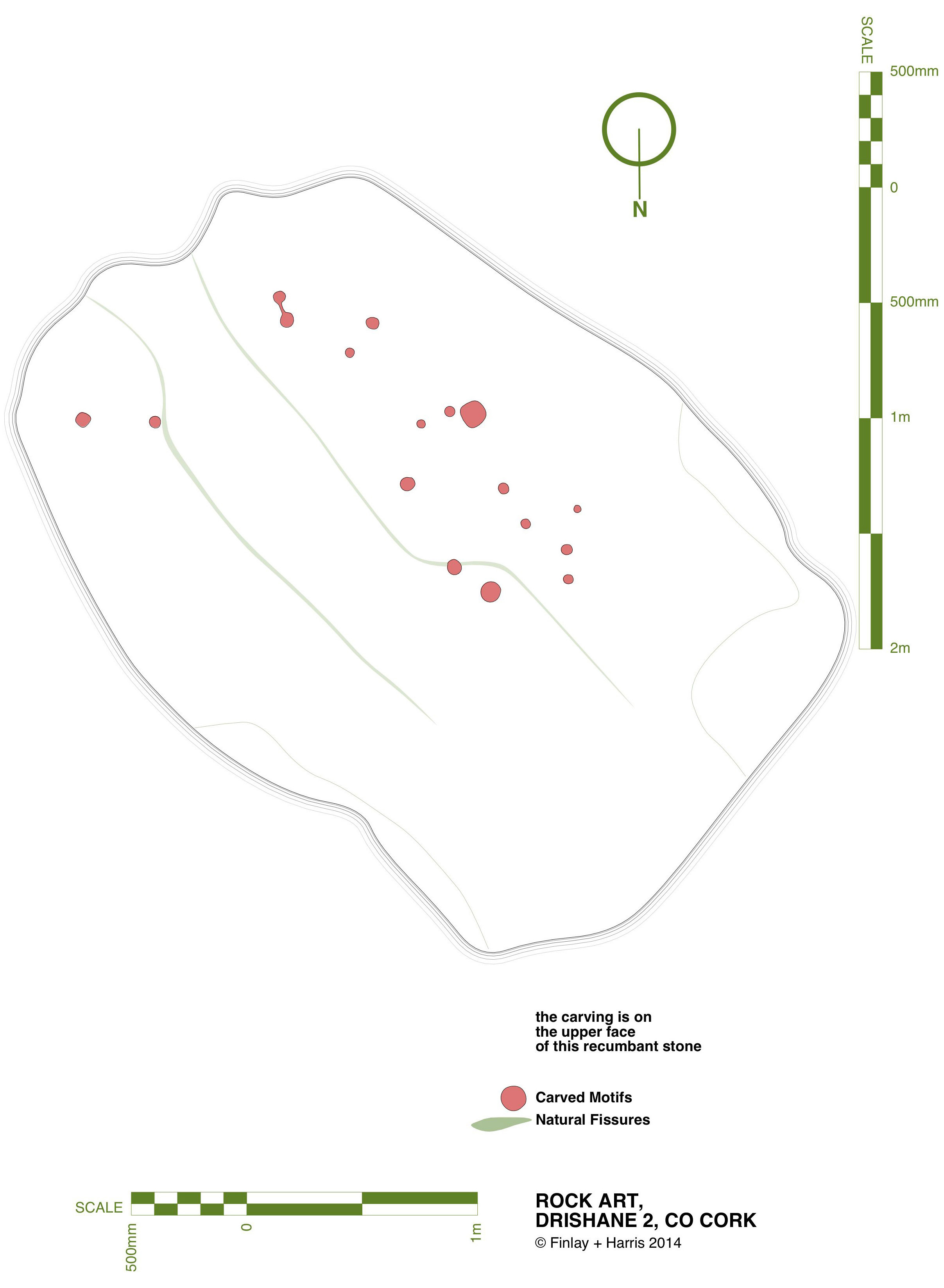
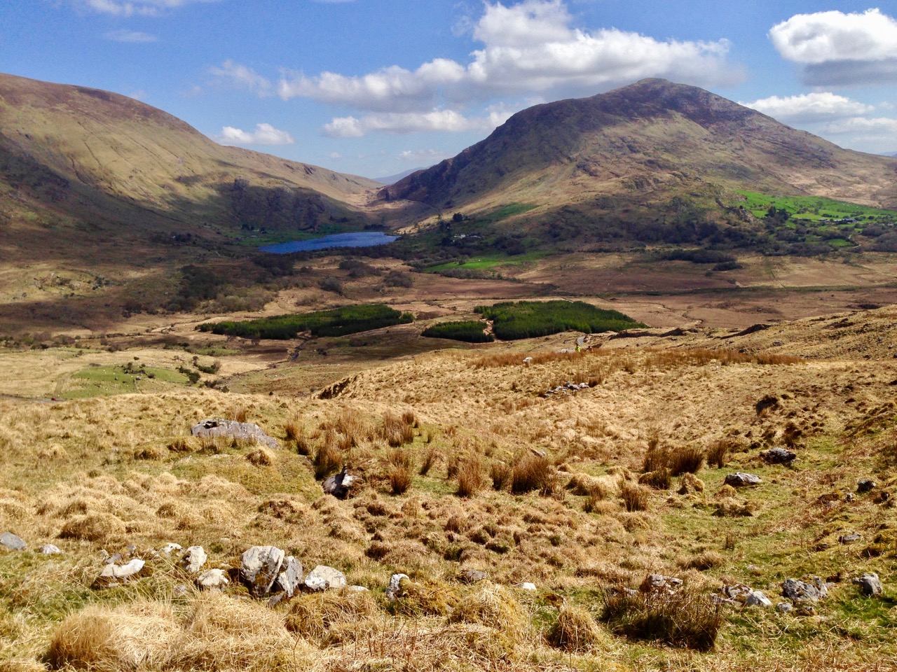
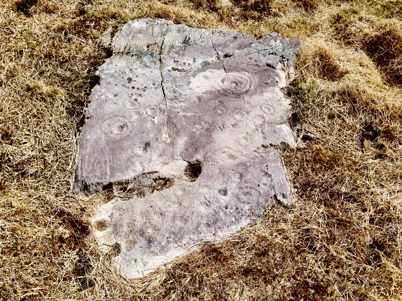
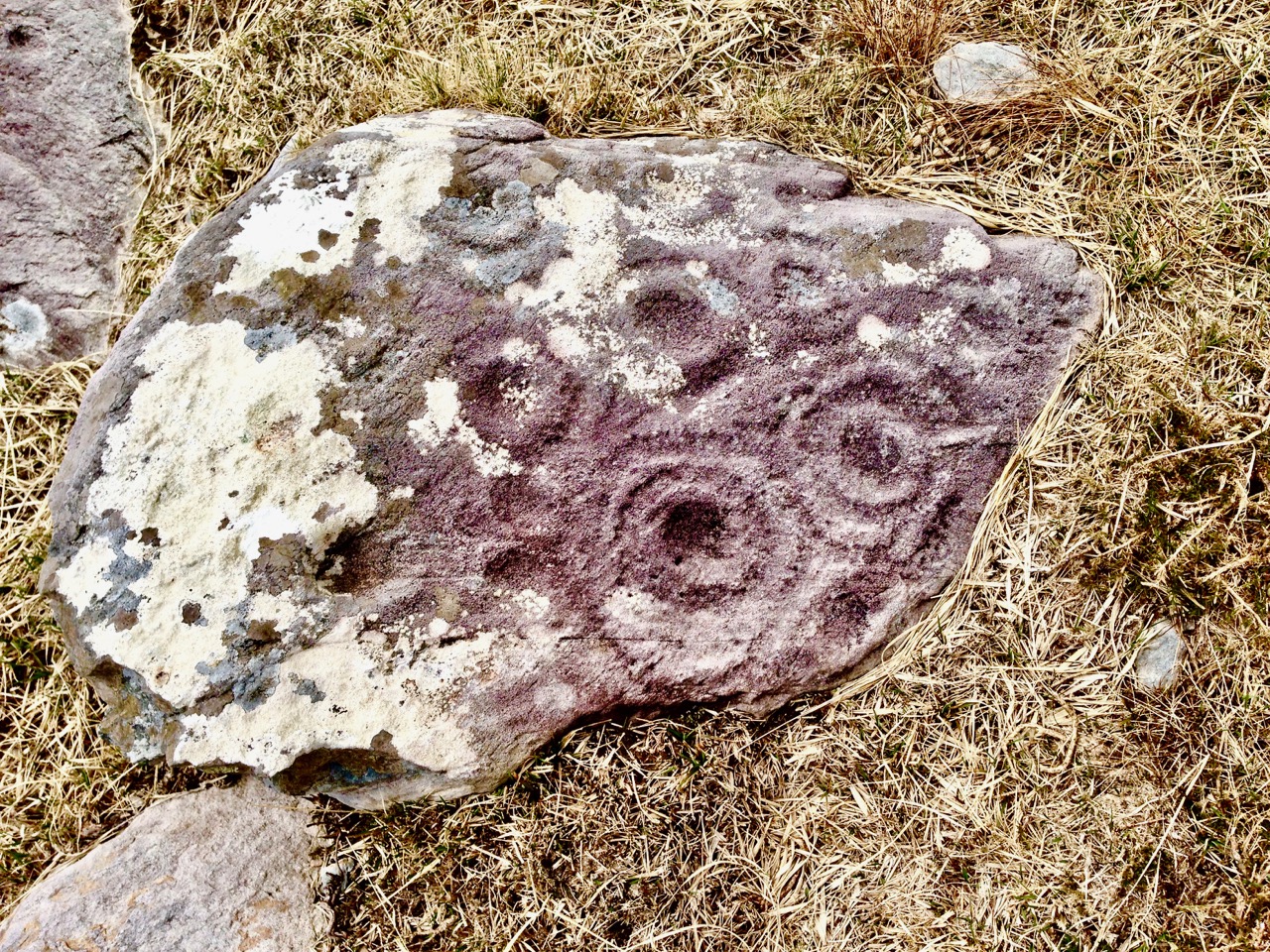
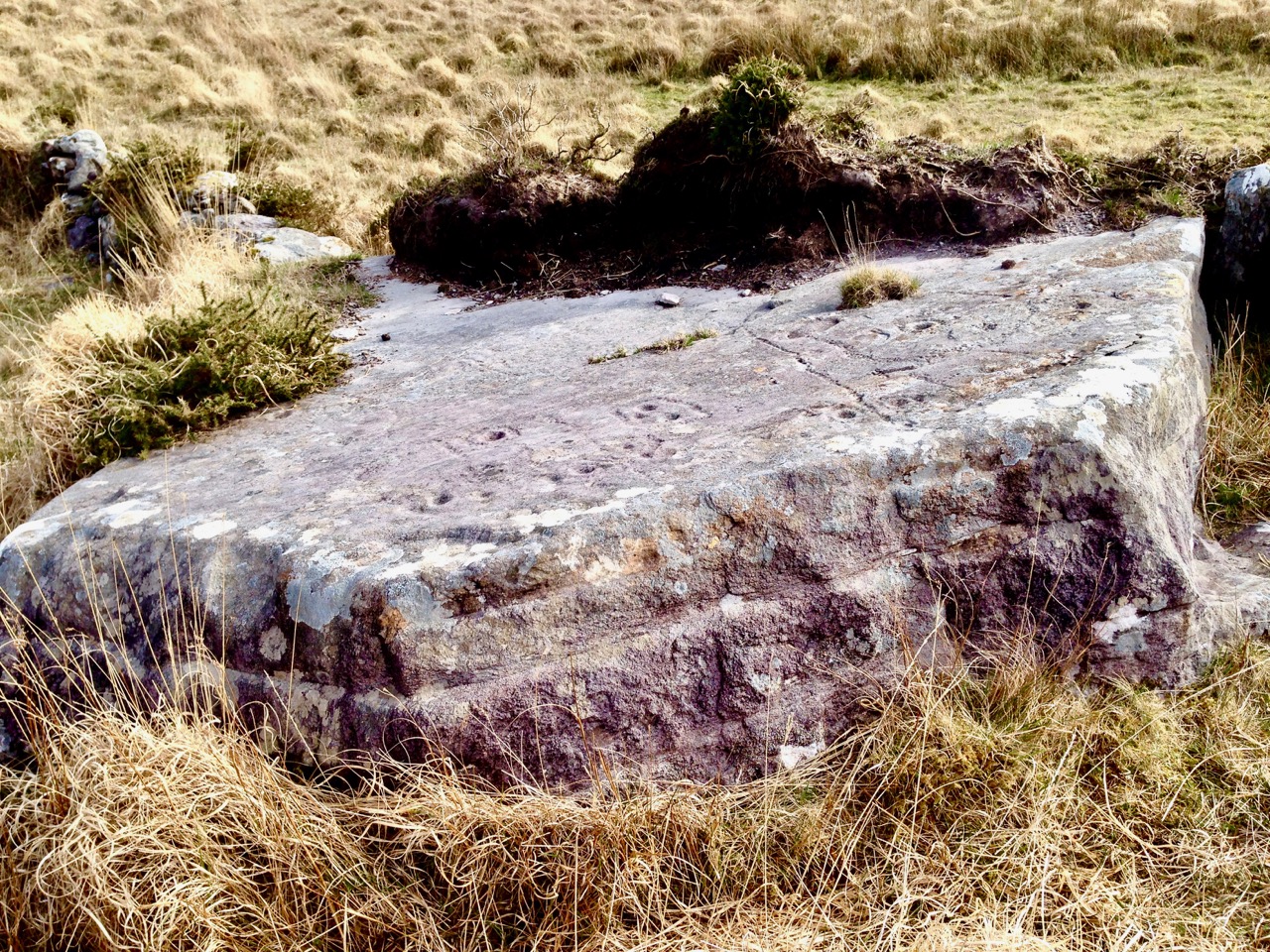
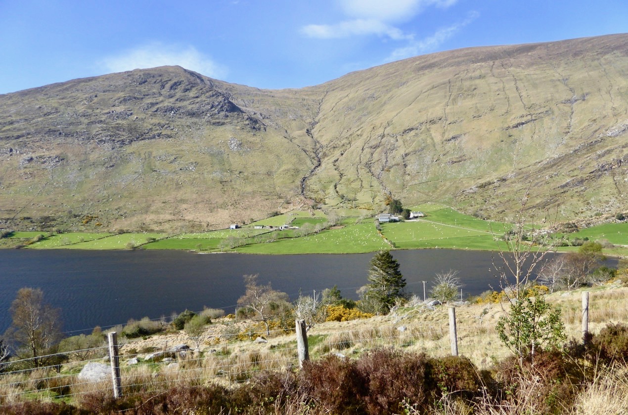
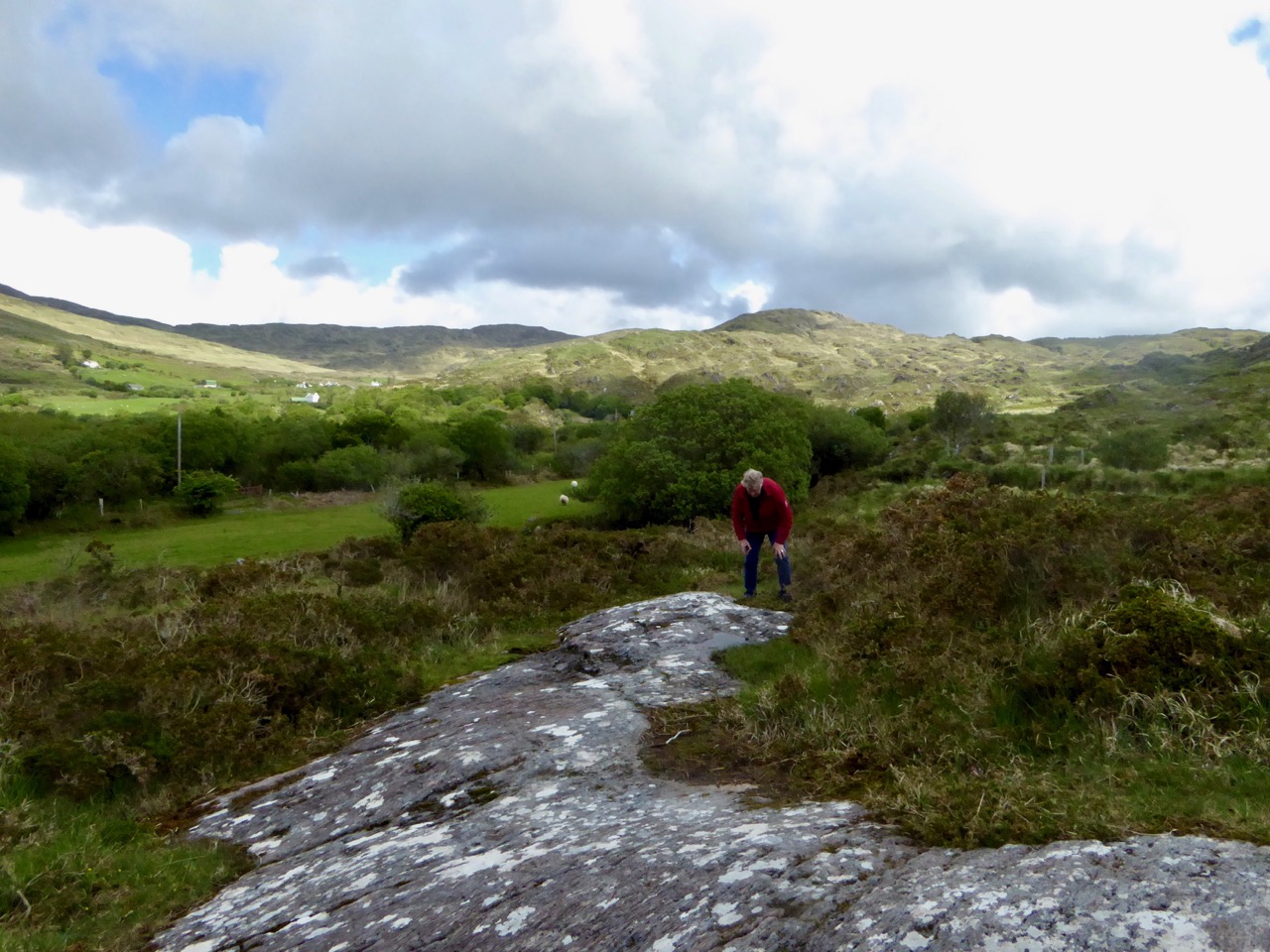
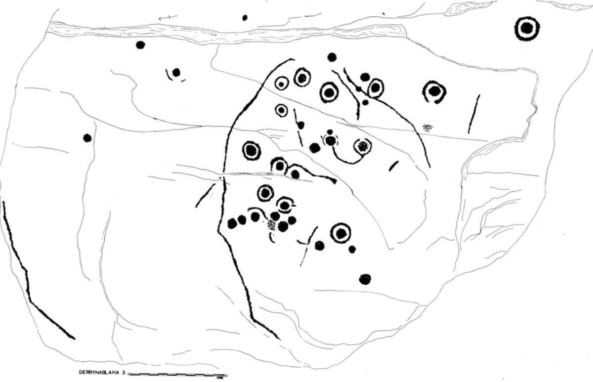
This is the rock I labelled Derrynablaha 3. My 1973 drawing of it is below. From it, there’s a clear view across to Lough Brin to the east, and all the way down the Kealduff River.

Irish prehistoric rock art likely dates from the Neolithic, about 5,000 years ago. We’ve written extensively about rock art (and indeed about Derrynablaha) – see all our posts on this special menu page. There are significant concentrations in Kerry, including 49 pieces identified so far in the adjoining townlands of Derrynablaha and Derreeny, in the middle of the Iveragh Peninsula. To get there, turn north from the Blackwater Bridge and head for the Ballaghbeama Gap.

If you go on a grey day with no shadows (all too common in our part of the world), or even when the sun is high in the heavens, you might see nothing at all. You might walk right by a piece of rock art without realising it was there. We visited Derrynablaha this week and were very lucky to hit it just right.
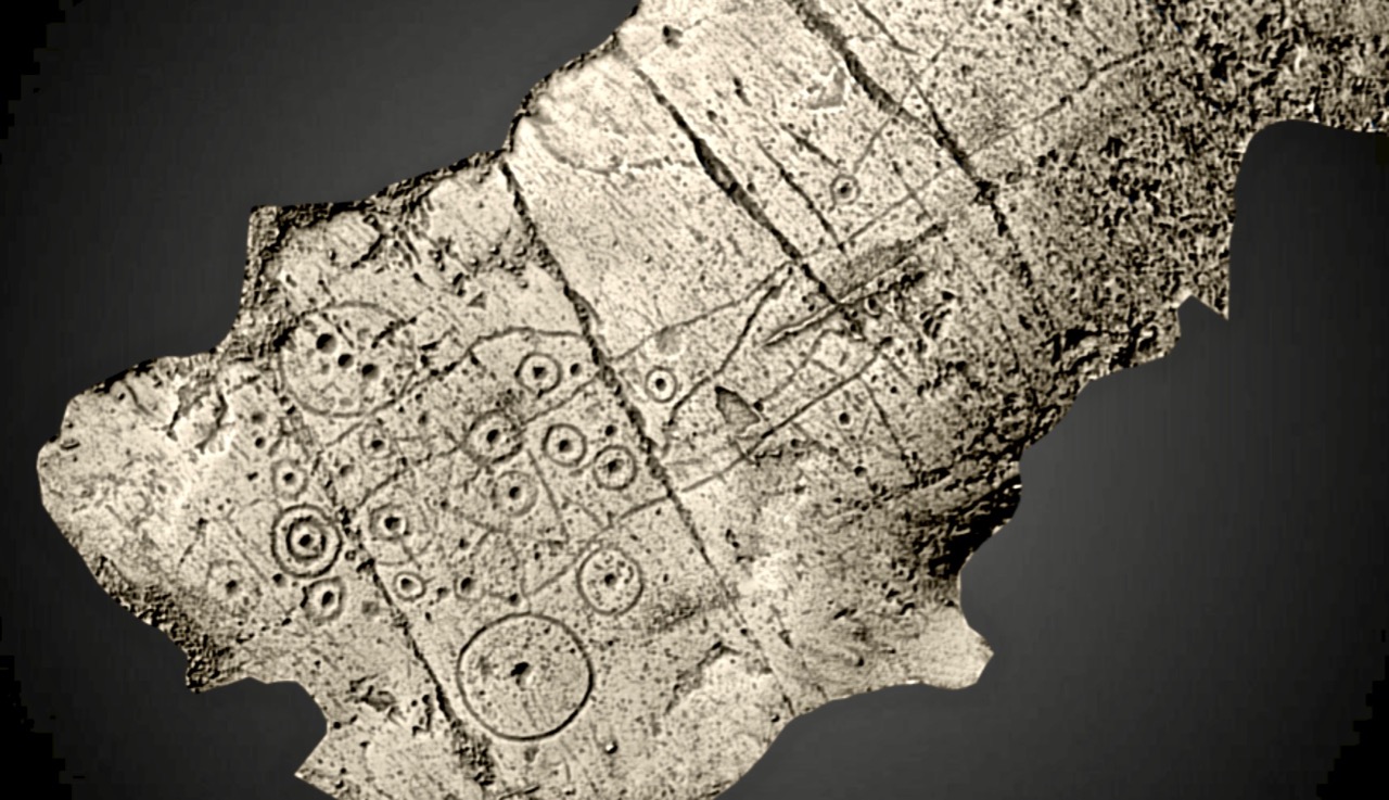
By ‘just right’ I mean that we had a sunny day, not a cloud to be seen, and because it’s winter and we got there earlyish in the morning the sun was low in the sky. That kind of low, raking light creates the best possible natural conditions for viewing rock art, as demonstrated in this post – Aoibheann Lambe’s excellent capture shows how to do it. There are other ways to do it, of course – you can use strategically placed coordinated flashes – something Ken Williams is rightly famous for. You can go at night with strong lights, or you can use photogrammetry to produce a 3D image. But for a truly immersive experience, seeing it on a day like we had is an experience that is hard to beat.

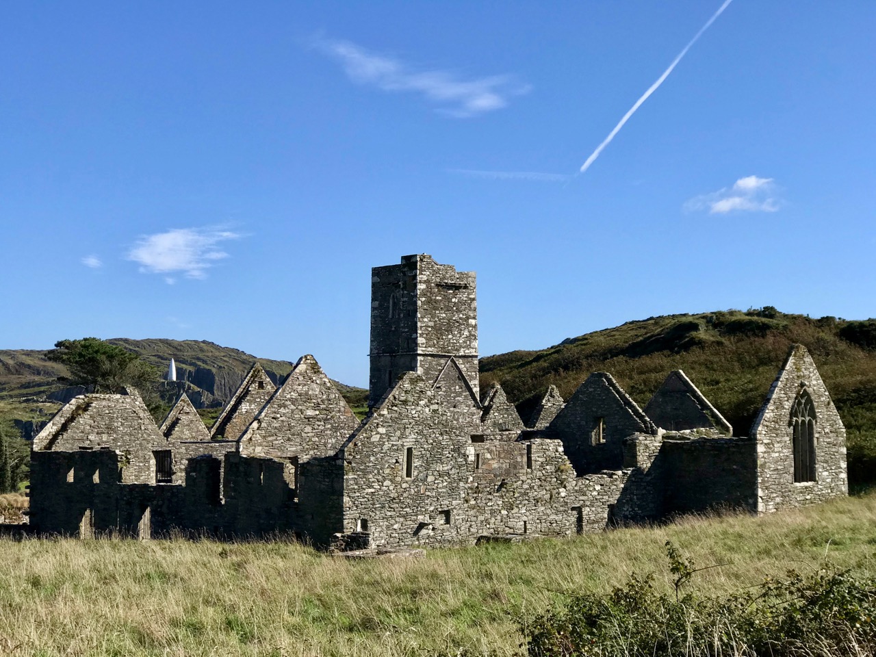
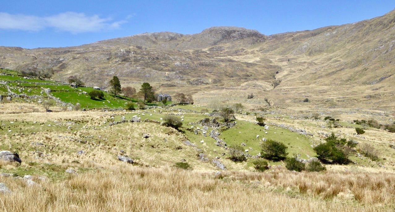
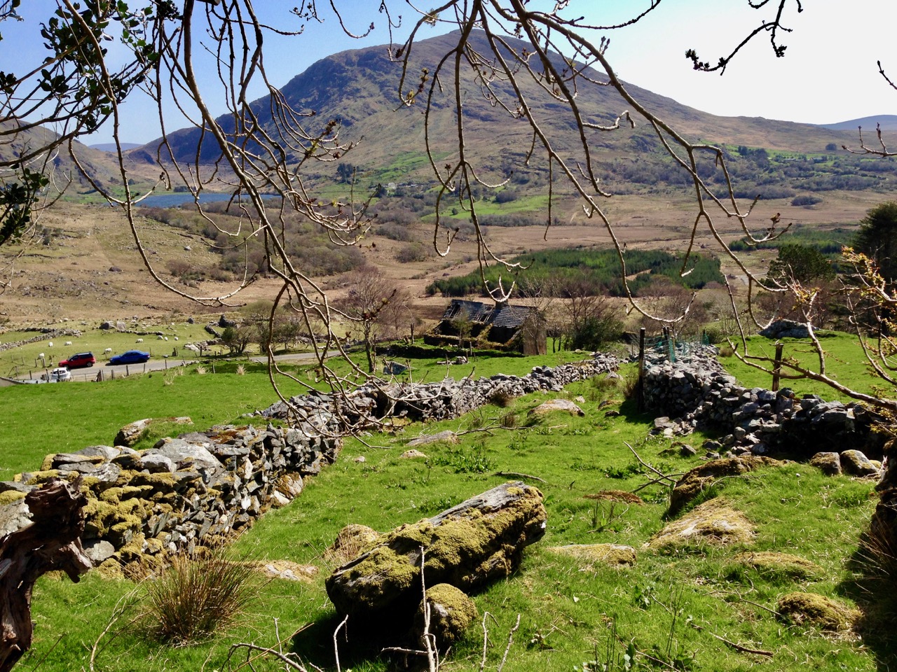
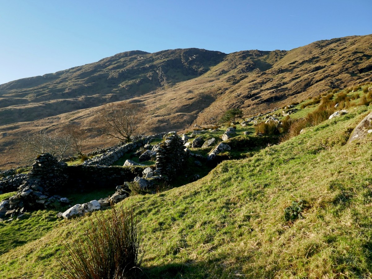
I spent time recording all the known Derrynablaha rock art when I was doing my thesis in archaeology at UCC in 1972. The carvings had been discovered by the landowner, Daniel O’Sullivan, who wrote to the Department of Archaeology in 1962. His brother, John, still lived on the farm when I was doing my fieldwork, in the farmhouse that is now a ruin (above) but which still holds happy memories for me. The remains of a more ancient settlement are also clearly visible (below).
They were visited by the Italian archaeologist Emmanuel Anati the following year, 1963, at Prof O’Kelly’s suggestion and it was Anati who first wrote about this site. Anati, by the way, went on to found a centre for rock art research at Val Camonica in Italy, and as far as I can tell is still alive and active, in his 90s. He recorded 15 panels.
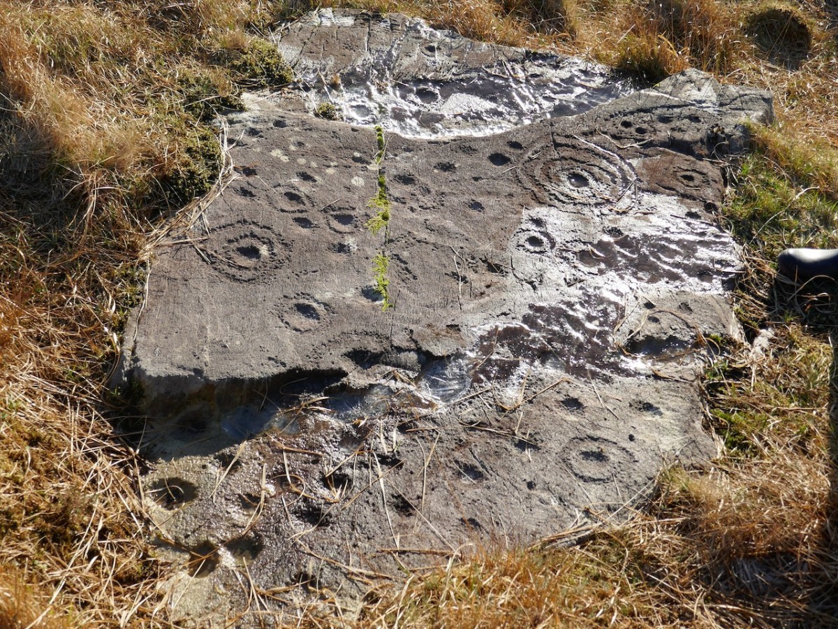
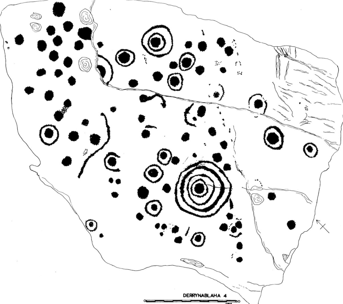
This is my Derrynablaha 4

Subsequent expeditions from UCC, and my own explorations, resulted in a grand total of 23 examples being included in my thesis. By the time of the Kerry Archaeological survey in the 1980s there were 26 pieces identified, and more have been found since then – there are now 29 known panels of rock art in Derrynablaha and a further 20 in Derreeny.

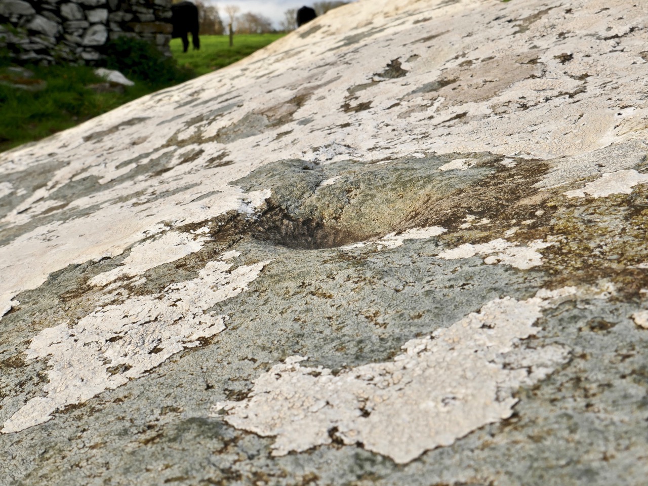
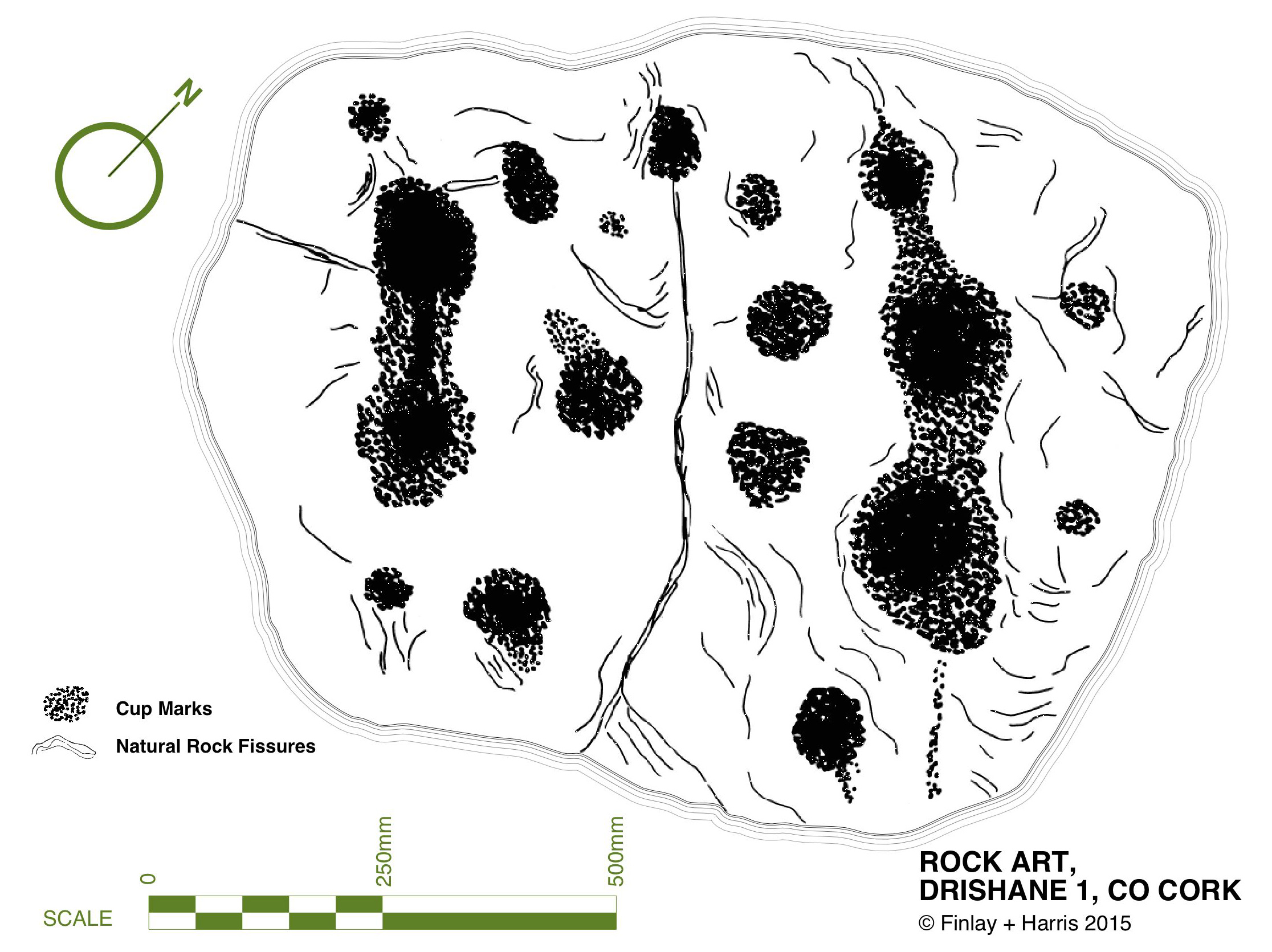
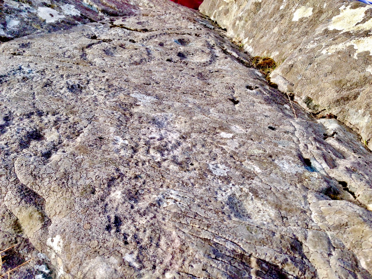
A detail from Derrynablaha 4 clearly showing individual pick marks. The decoration was picked on using stone-on-stone percussion. You can also see how ice can settle on the surface and over time cause cracking damage. My drawing of this stone is below

They are very hard to find unless you know exactly where to go, and I was very lucky indeed to have the expert guidance of Google. Yes – there is a Google Map devoted to Irish rock art! It’s the brainchild of Caimin O’Brien of the National Monuments Service and with it on your phone it’s possible to tramp over the hillsides and locate each piece. We are supremely grateful to Caimin for the work he has done on this, and we only wish all National Monuments could get the same treatment!
Even with this amazing resource, this is not an easy field trip. The ground is steep, rough and wet, and there are barbed wire fences to find a way around. It’s an active sheep pasture, so it’s important to be mindful that you are on private property and be respectful of all farm boundaries. 
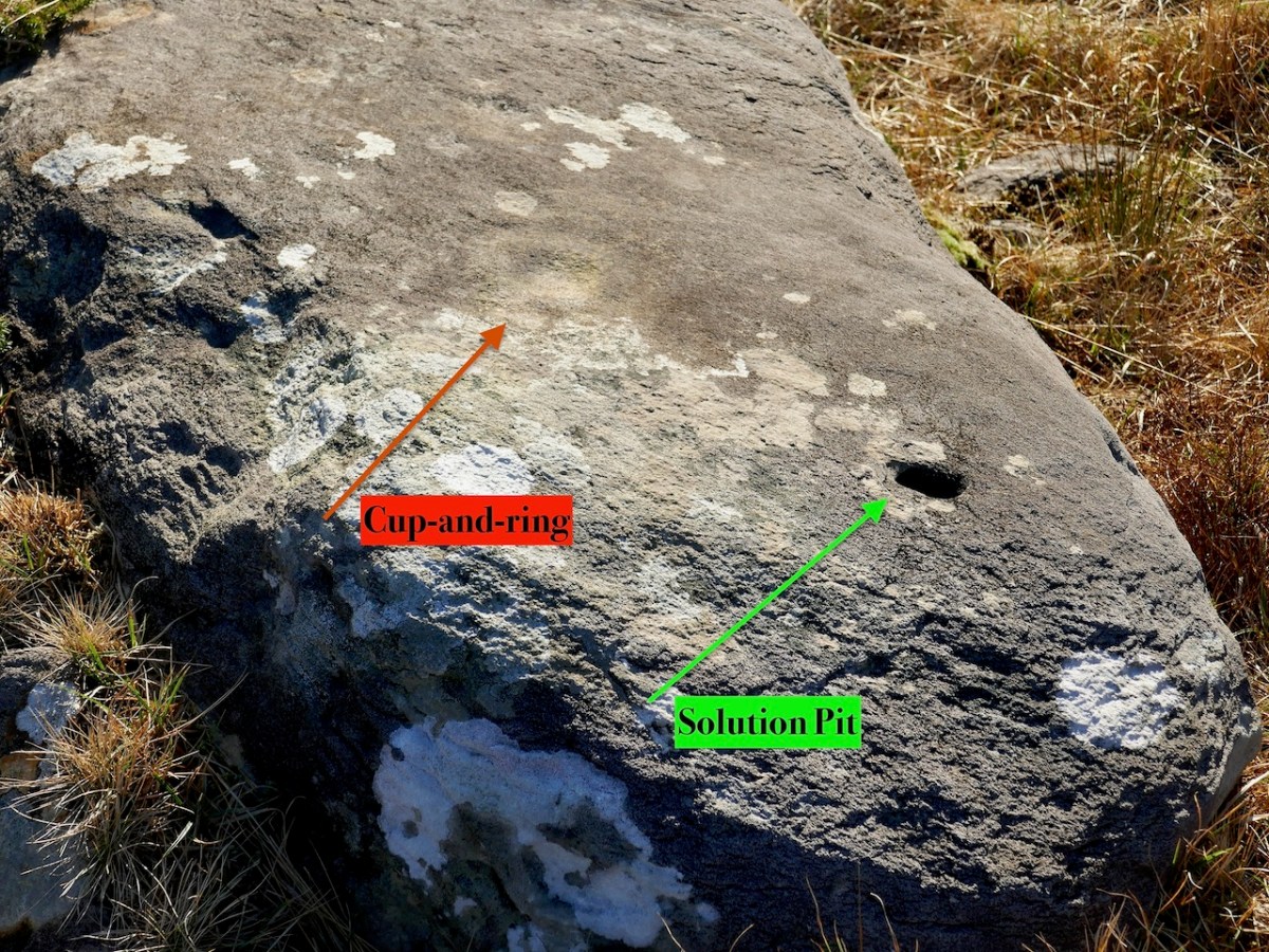
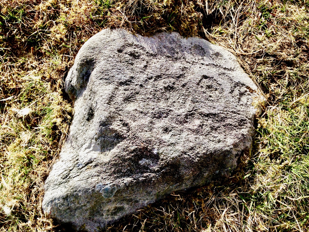
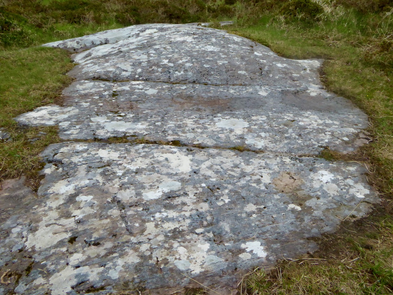
This is a good example of rock art that could be easily overlooked. A very faint cup-and-ring can be seen in good light conditions. The obvious hole, however, is not a cupmark but a naturally occurring solution pit

Because we only had half a day, we confined our walk to the area around the old farmhouse and the hillside to the west of it, and managed to visit 8 panels. Even in the perfect lighting conditions we had, not all are easy to see, as they have been exposed for thousands of years and have worn away. But, for the most part, once we had found the rock, we could see the carvings clearly. 

All the panels we viewed had cupmarks and cup-and-ring marks, as well as some pecked lines meandering across the surface. We don’t know what the significance of these motifs are, although theories abound. There are other motifs at Derrynablaha too, all falling within the repertoire of classic rock art. 

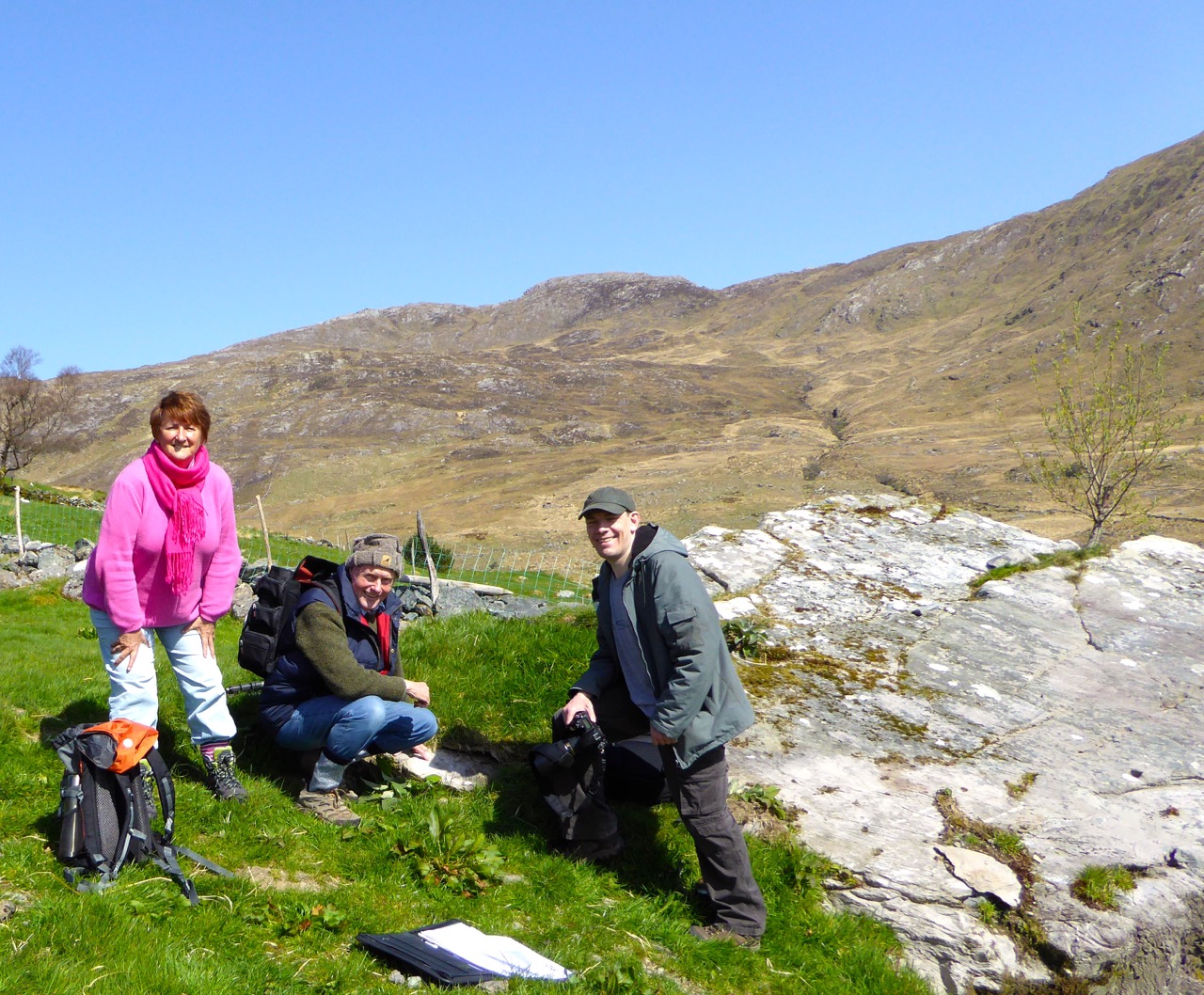
Our companions on this day, as on so many of our adventures, were Amanda and Peter of Holy Wells of Cork and Kerry. And of course several holy wells were on the agenda too, including this one near Kenmare. Take a look at Amanda’s brief write up on her Facebook page, or keep an eye on her excellent blog for more about our finds on this trip.
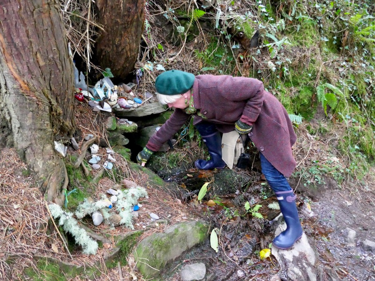
We’ve written about Derrynablaha so many times now – why do I know this won’t be the last time?
Witches’ Marks and Lovelorn Shepherds: Inscribed Rock Art in a Remote Valley

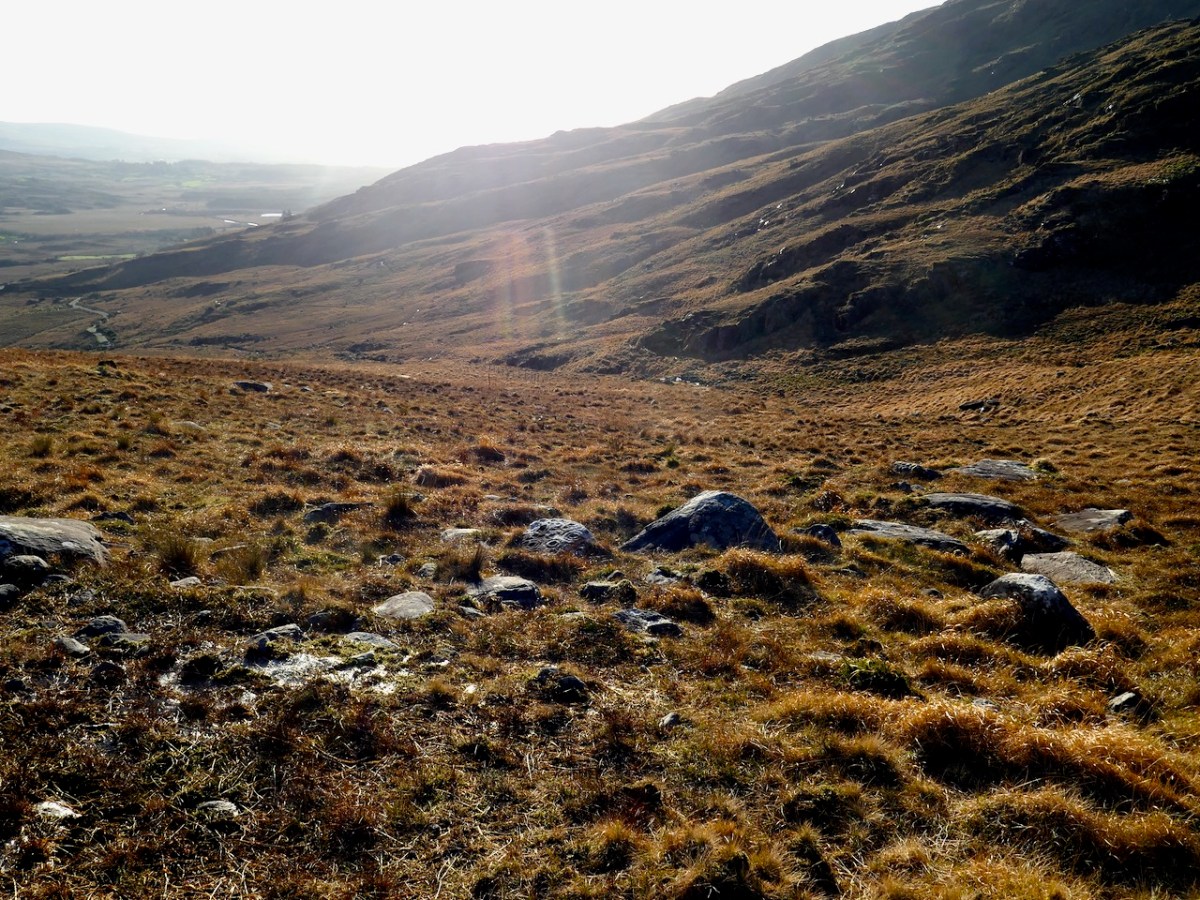
One day in the summer of 1972 I set off on my Honda 50, backpack full of recording tools, to find a new and different example of rock art. This was not my usual prehistoric cup-and-ring carving, but inscribed or scratched markings in a ‘cave.’ When I returned yesterday, 47 years later, it was to a place even more remote and wildly beautiful than it had been in my memory. Read Robert’s post for a full account of our walk up the Valley of the Cooleenlemane River.

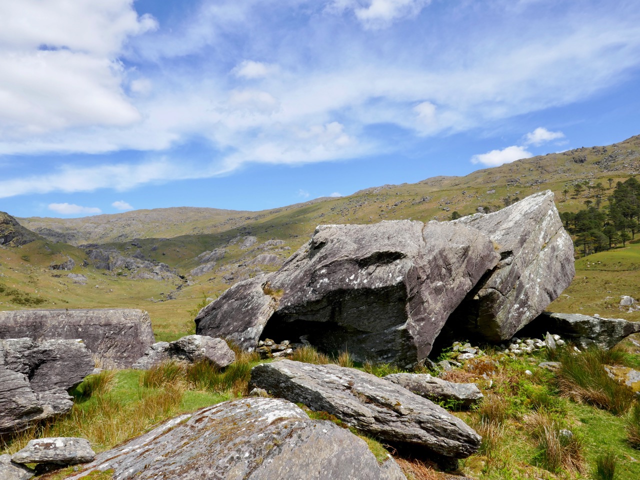
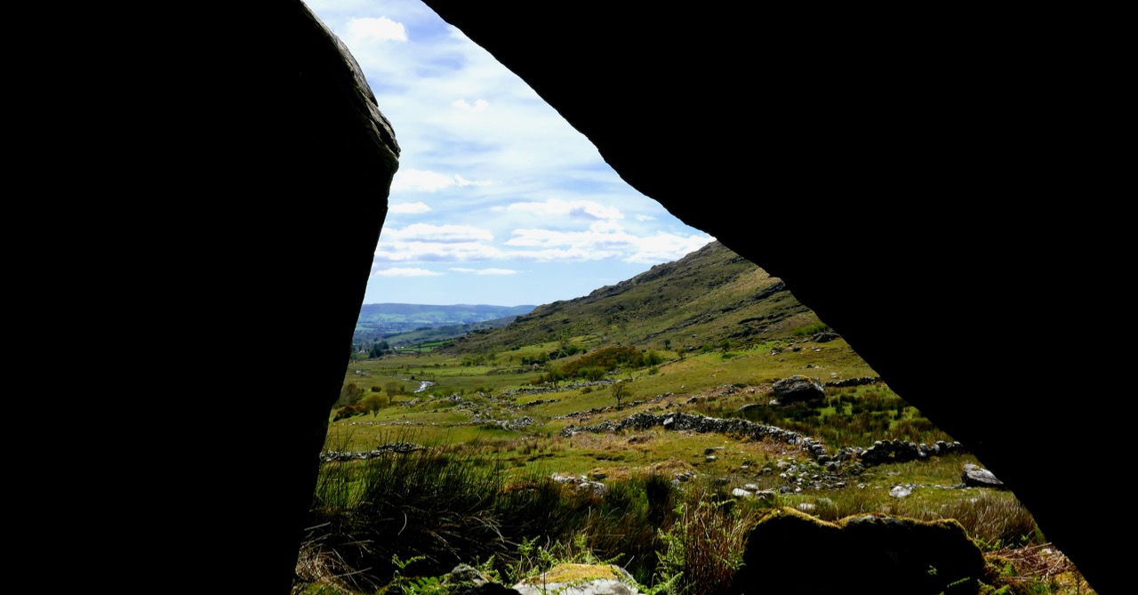
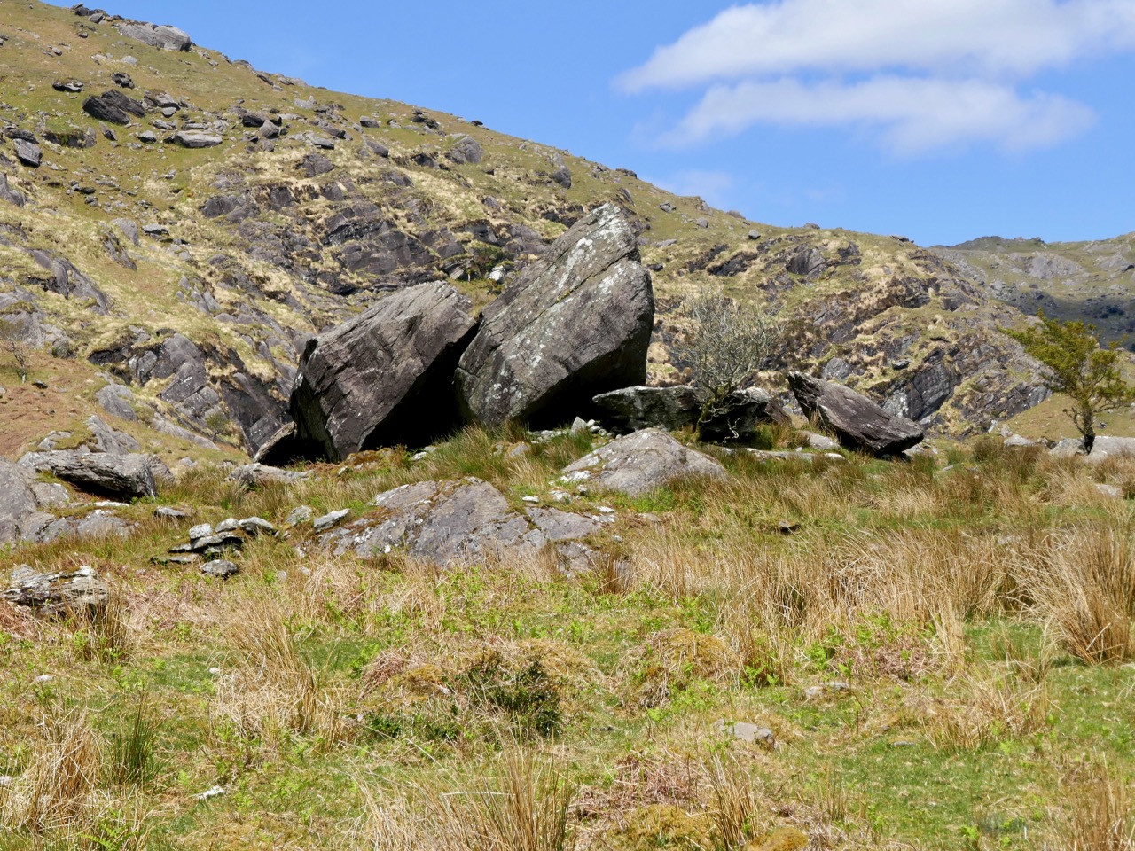
The site itself is arresting. Huge slabs lean against each other to form three shelters – nowadays harbouring sheep but in times past, perhaps humans. There is an account in the Halls’ Tour of Ireland of an encounter they had with a family living in this area in what looks remarkably like our destination.

The House of Rocks from Ireland, Its Scenery, Character, &c by Mr and Mrs S C Hall, page 149. Drawn by A Nicholl, engraved by Landells

The ‘caves’ are known locally as the Bealick – Pat Joe pronounced it The Bay Lick. Leach (pronounced lack) is the word for a flagstone or slab so this could be a reference to the enormous stones themselves, but baoleach (pronounced bway-lock) is also the Irish word for dangerous, which may refer to beliefs about the power of the place. The townland name, Cooleenlemane, could mean the Little Nook of the Rock Outcrop, or it could mean the Rock Outcrop at the Remote End (of the valley). Either way, it’s apt.

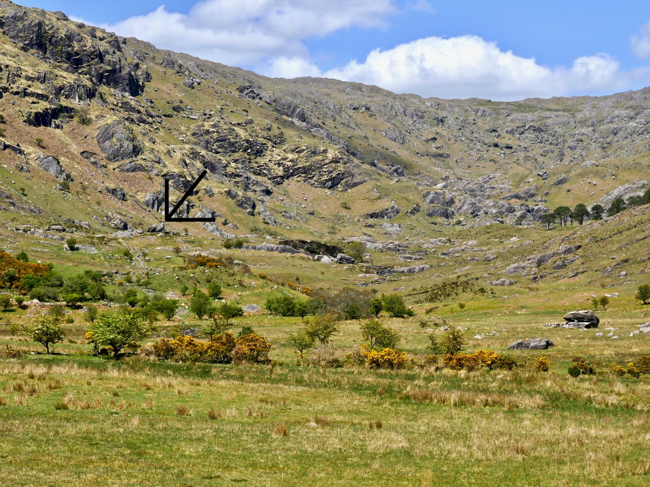
The arrow points to the Bealick: you can see it from a long way away as you walk up the valley

We’ve written many posts about rock art in this blog, but the closest we’ve come previously to dealing with Inscribed markings was Robert’s post on the Aultagh stone, which has been suggested as an Ogham (or fake-Ogham) stone. This one is very different.

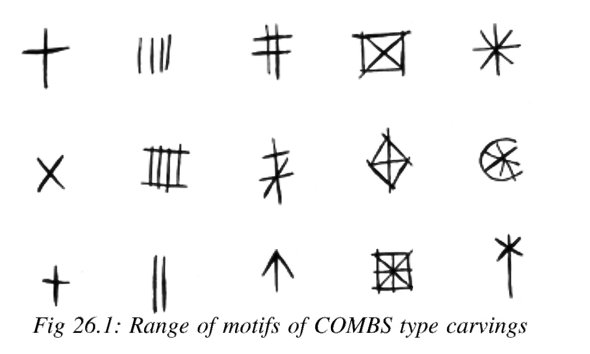
This type of site has been described most comprehensively in Elizabeth Shee Twohig’s paper, An Enduring Tradition, Incised Rock Art in Ireland in the 2014 book From Megaliths to Metal: Essays in Honour of George Eogan. She coins the term COMBS, based on where these kinds of marks occur – Caves, Outcrops, Megaliths and Boulder-Shelters, and gives details on the ones that have been documented to date, including the list I included in my 1973 thesis.

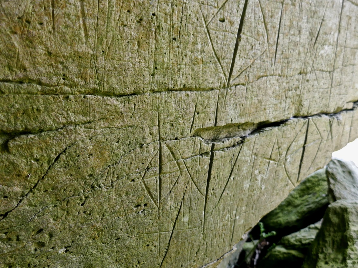
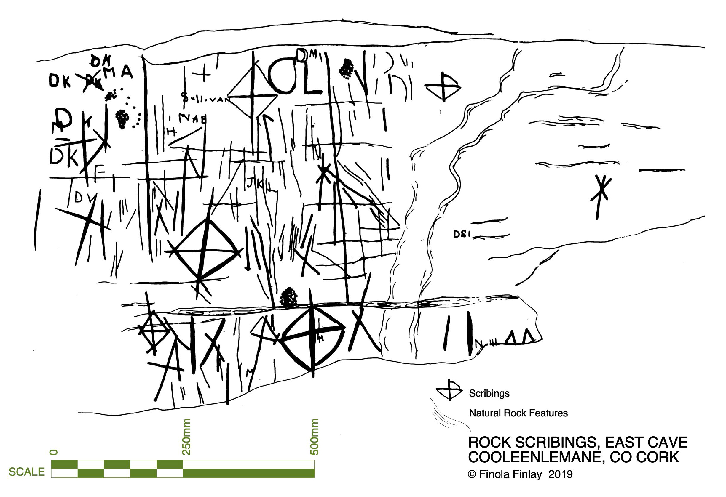
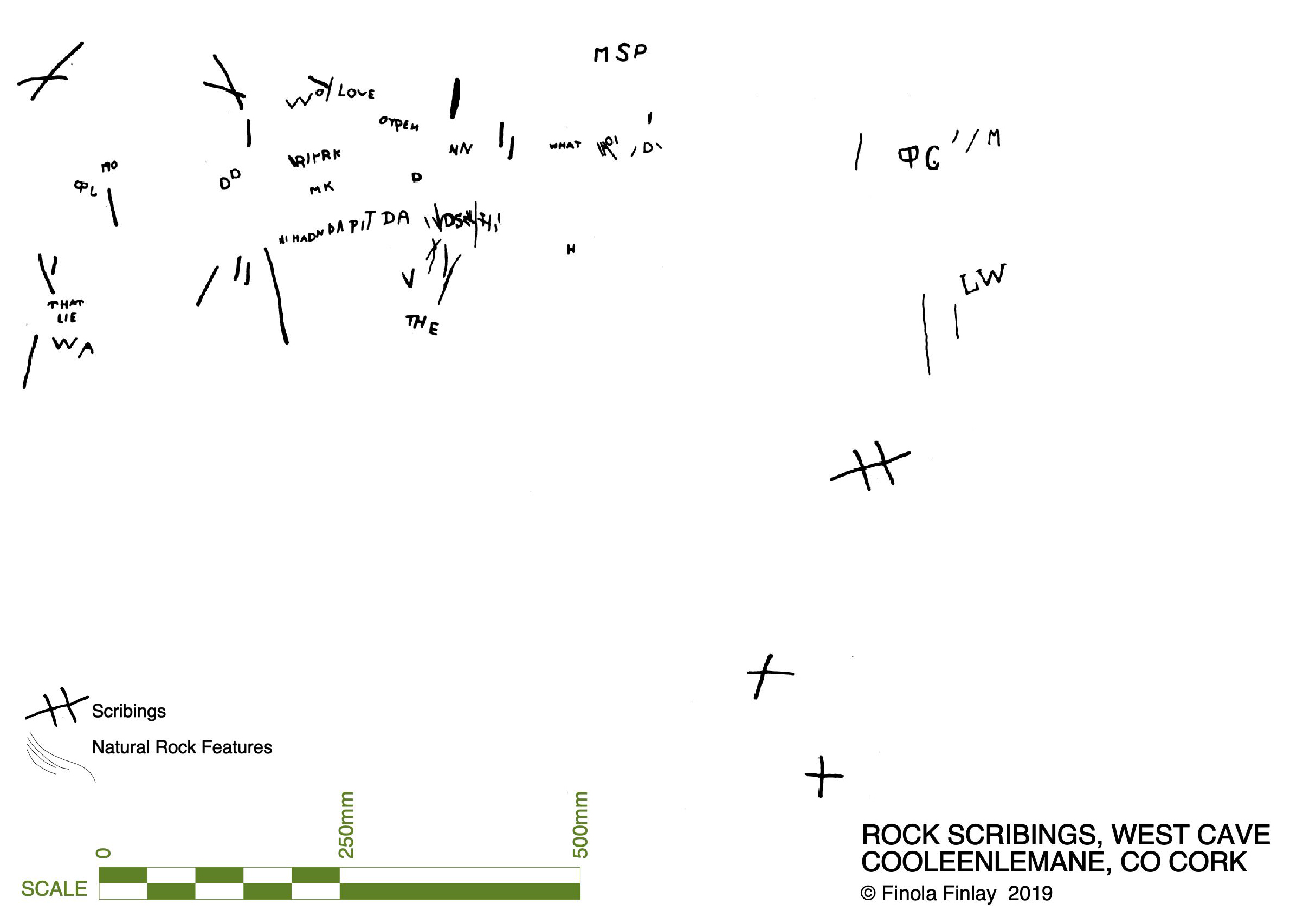
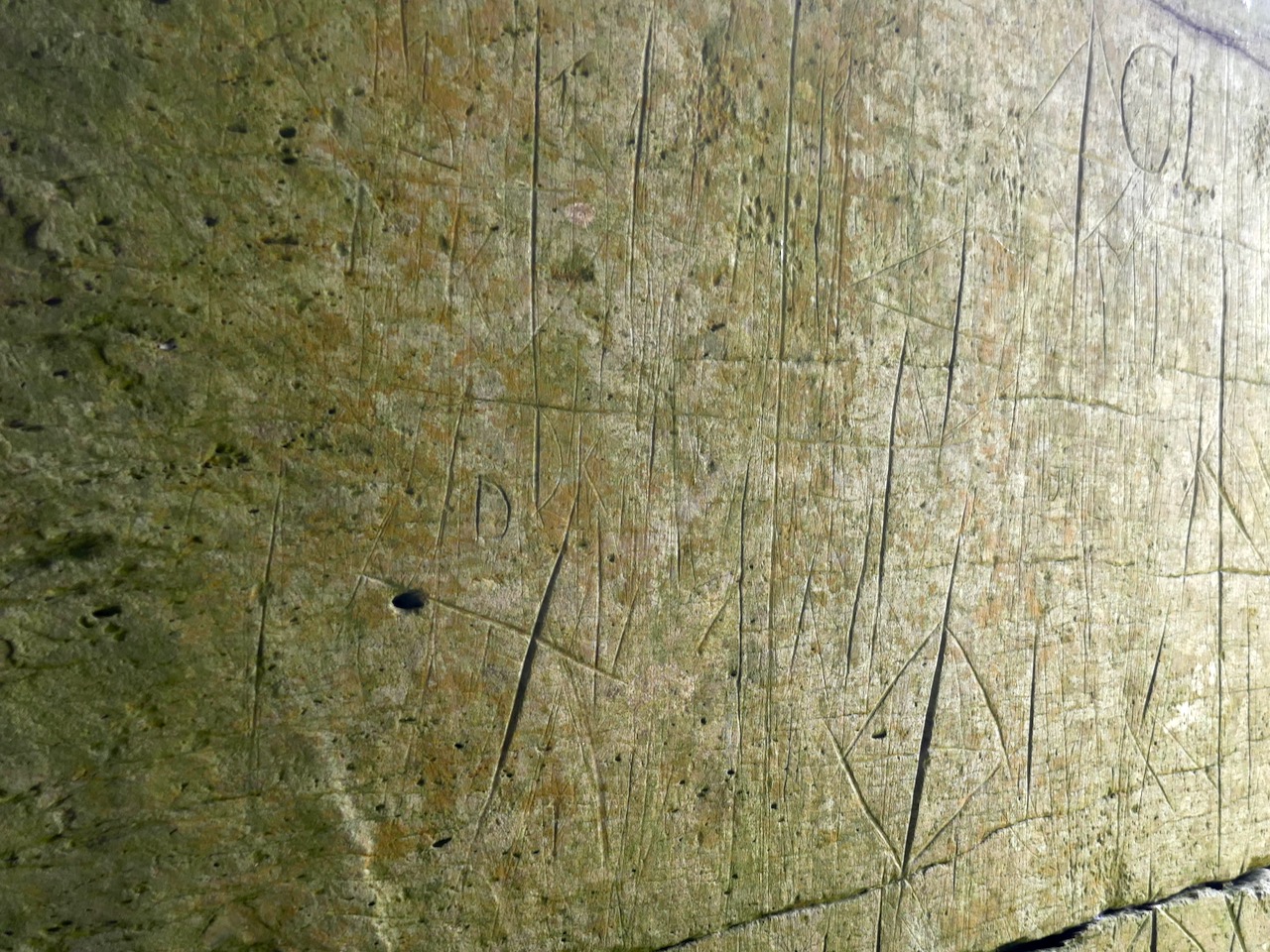
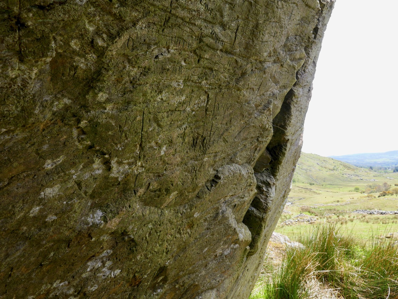
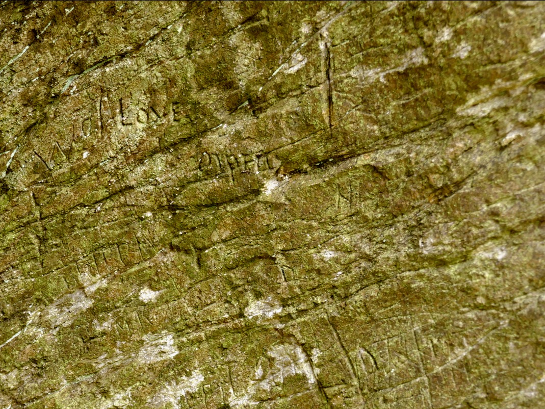
I described and drew three of the sites then – Glanrastel, Kealanine and Cooleenlemane – and I hope to get back to the others also. Of the three, Cooleenlemane has the greatest range of markings. There are three caves here, but markings only in two, which I labelled the East and West Cave. The markings run the full gamut of Shee Twohig’s motif range. There are also initials and words and letters that do not form words but that seem to run together.

The East Cave has the widest range of markings

This is what I wrote in my 1973 thesis about how the carvings were made:

The three sites of Glanrastel, Kealanine and Cooleenlemane share an identical incising technique. The markings have a V-shaped cross-section with smooth faces. In the case of the lighter marks, this effect could have been achieved by scratching with a strong knife, and at Kealanine and Cooleenlemane this technique accounts for many of the initials and letters, and some of the straight strokes. The deeper strokes were probably made by reaming with the end of a pointed tool. This tool need not have been metal. Identical techniques of marking have been identified by Shee. . . from passage-graves, which she suggests were executed with the edge of a stone axe.

The West Cave has more words and letters

At the time, we had no idea how to interpret these kinds of markings. I did say in my thesis they were more likely to be historic rather than prehistoric, and pointed out the Christian nature of the many cross motifs. The initials and words are, of course, fully modern.

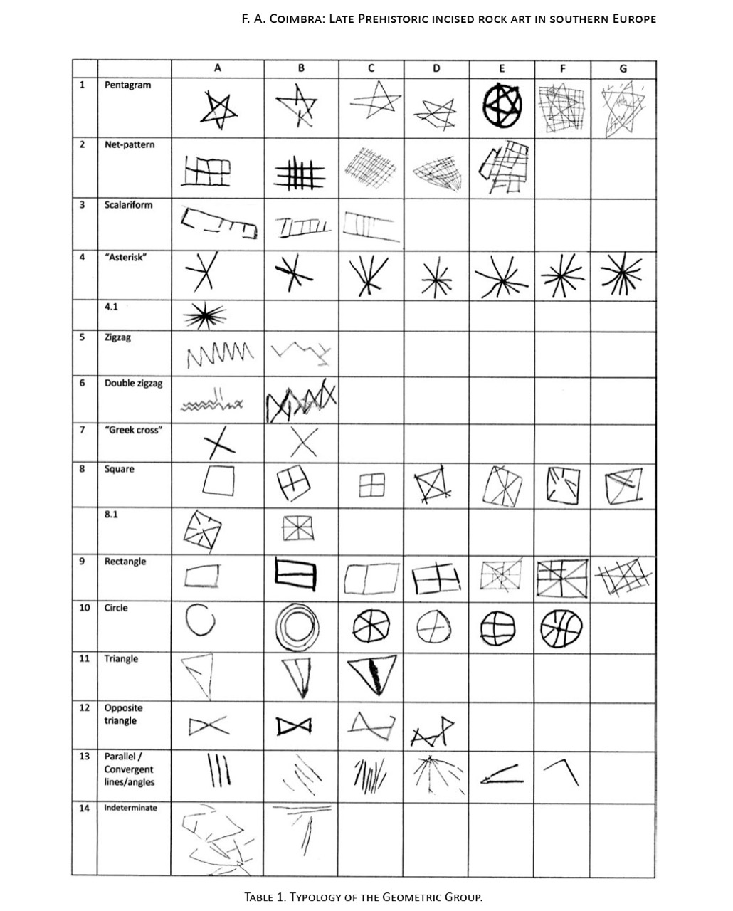
But in fact, incised markings such as these are known from many contexts, including prehistoric. They are widely distributed in southern Europe, where they may be associated with figurative carvings also. The 2014 Proceedings of the XVII UISPP World Congress was published as Post-Paleolithic Filiform Rock Art in Western Europe, filiform being the word chosen to describe incised rather than pecked rock art. A chart of what the authors call The Geometric Type (above) contain many motifs that would be at home in Cooleenlemane. Some of these may date from the Bronze Age or the iron Age.

Shee Twohig also points out the long and varied traditions of marks of the COMBS type, including Early Medieval inscribed crosses on rock outcrops, and thirteenth century mason’s marks. You may remember our post about Keith Payne’s exhibition, Early Marks: inspired by Genevieve von Petzinger’s book The First Signs, he depicted many such inscribed markings, including one from Blombos Cave in South Africa, reckoned to be 75,000 years old.

A recent discovery at Creswell Crags in Nottinghamshire generated excitement earlier this year and may hold the answer to the puzzle of what at least some of these marks are all about. Dubbed Witches’ Marks, they are believed to have been tokens to ward off evil spirits. According to this BBC piece Protection marks are most commonly found in medieval churches and houses, near the entrance points, particularly doorways, windows and fireplaces. They are also often found in caves and shelters, near the entrance.

I said some of those marks – The initials and words, to my mind are equally important as evidence of our enduring need to leave our, er, mark on the world. How many generations of DKs (Several Dinny Keohanes, apparently, lived around the valley) carved their initials and hoped to be remembered? And was someone in the West Cave, in the time honoured-tradition of the love-struck everywhere, trying to make a declaration while sheltering with his sheep against a spring gale?
In the inevitable way of such special places in Ireland, the Bealick eventually became known as a Mass Rock (see this post for an explanation and examples) and it is described thus in the National Monuments records (Monument number CO091-003). Indeed, it would have made an excellent location for a mass rock, remote and hidden in its lonely valley.

From this angle you can see the three caves. There are no markings in the closest one

Seeing it again after all these years, I was struck by wonder at how my 22 year-old self managed to find it (I suspect I would have applied to the nearest dwelling and been directed there after multiple cups of tea and slices of brown bread) and to draw it. It must have taken hours then, but the 20 minutes I spent stooped inside yesterday trying to get photographs just about crippled me. But mostly what I felt was gratitude – first for the privilege I had been granted all those years ago of doing something so exciting and important for my thesis, and second for the untouched and pristine nature of the Bealick and its setting.

(Thanks, Keith, for the inspiration for this shot)

A Walk on Sherkin Island

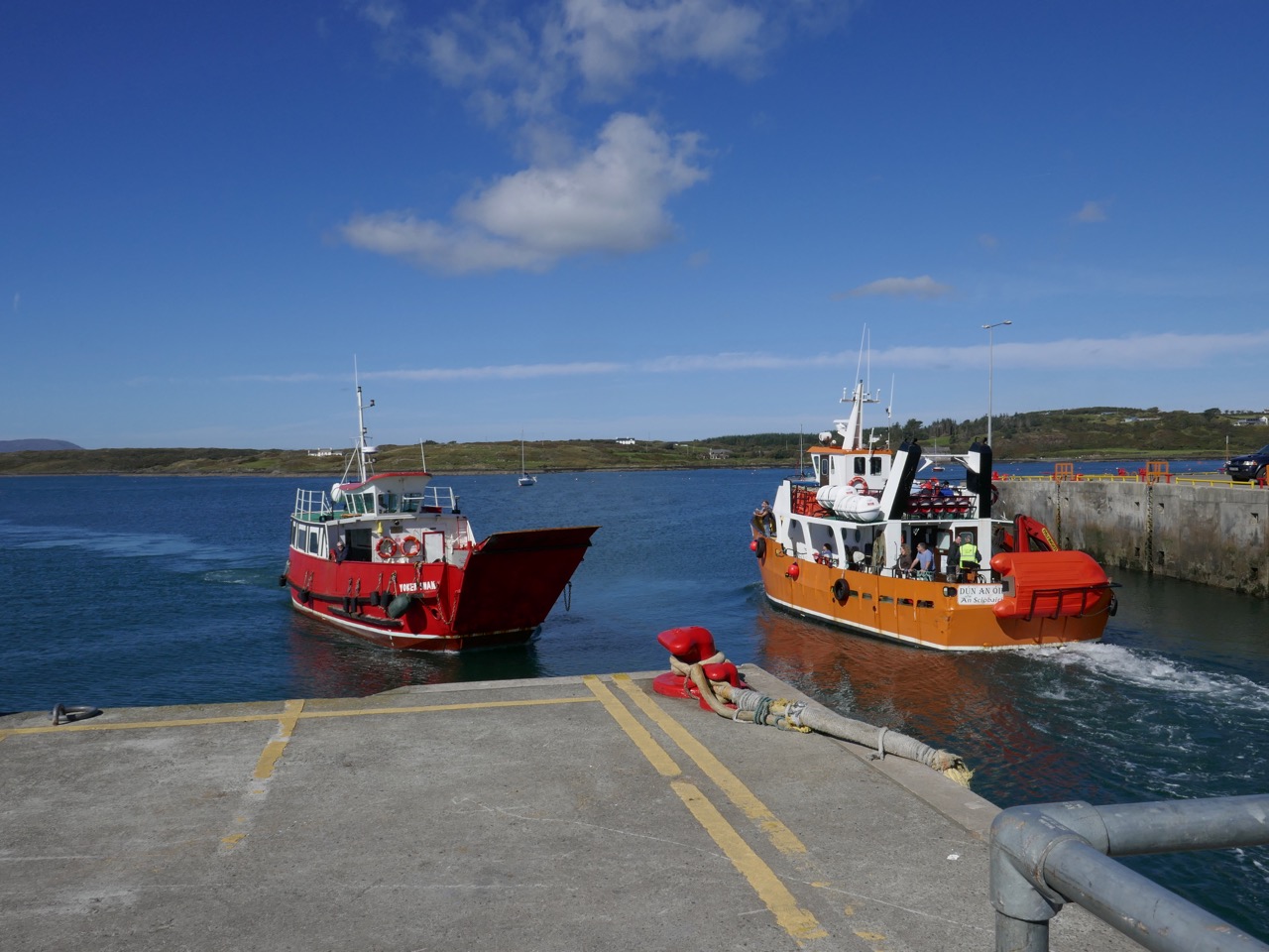
You can’t live in West Cork without constantly being aware of the sea – it’s all around us. And the offshore islands are always in our view as we look across Roaringwater Bay. It’s easy to get to the inhabited ones: there are good ferry services that run year round, although they can be hampered by winter storms. In this picture – above – the Cape Clear Ferry is leaving Baltimore, while the Sherkin Ferry is arriving to collect passengers for that island, including us: on a whim we went across on a wonderful warm September afternoon.

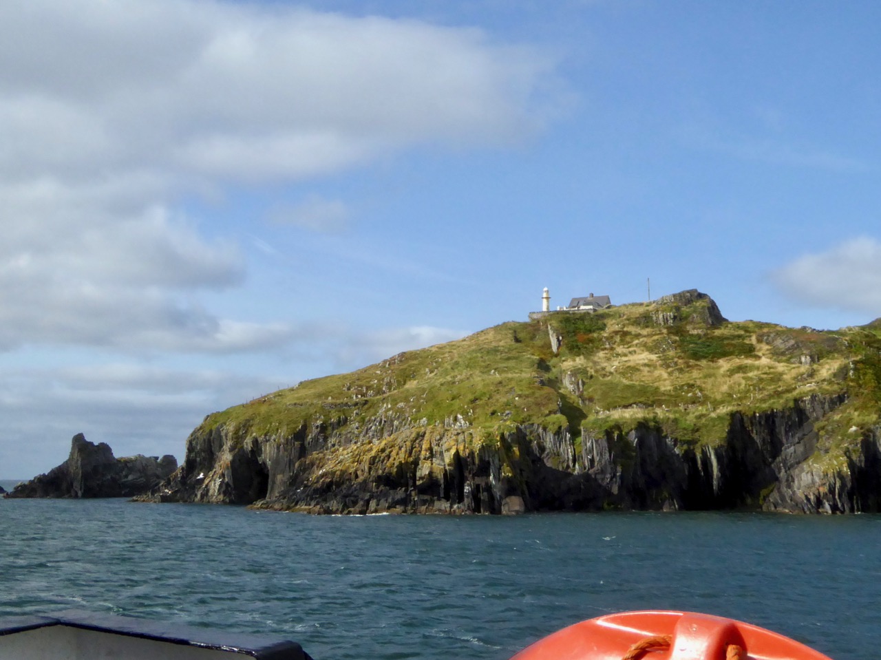
It’s a short sea voyage to Sherkin – all of 15 minutes! But it’s always exciting to be on the water. That’s the lighthouse on Sherkin in the picture above: it was built in 1885 of cast-iron construction and is now fully automated, as are all of Ireland’s lighthouses today.

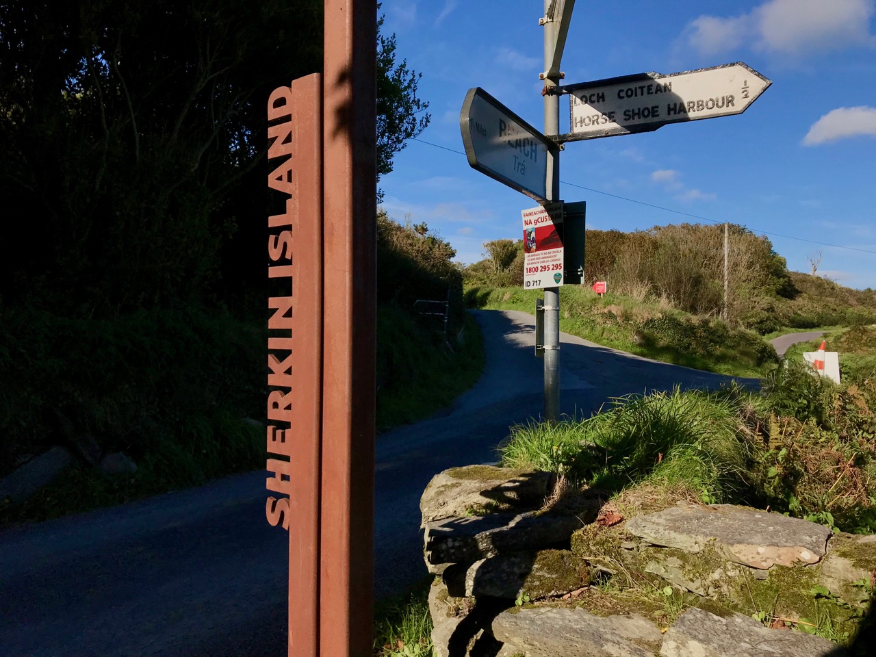
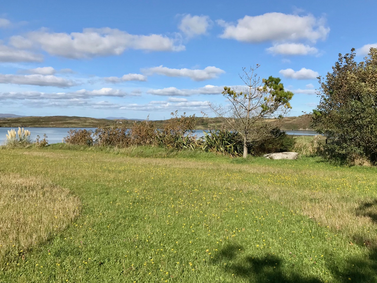
We did have an aim – to find a piece of Rock Art that may be the earliest physical evidence of human occupation on the island. It’s a cupmarked stone in the townland of Kilmoon, overlooking Kinish Harbour. It was a fair walk to the west, over deserted roads and through fields. After a bit of backtracking we managed to find the stone, well weathered but with its markings still visible. It is situated with panoramic views all the way round, taking in the peaks of Mount Gabriel, Mount Corrin and Mount Kidd on the mainland: surely it must have been placed with those views in mind?
This picture shows the cupmarked stone in its present setting, just inside a private garden (if you go, please make sure you seek permission from the owners of the house!), while the one above shows the panoramic distant view which the stone commands.

Here is the surface of the stone which is heavily blotched with lichen, but it is possible to make out the well defined cupmarks: there are 14 in all. If you want to find out more about cupmarked stones and how they compare with Rock Art in general, we wrote this post a while ago. It sparked off a whole lot of debate (have a look at the comments at the end of that post) – and there is still much to be discovered in a history that may go back 5,000 years.

Our main mission was accomplished, but we couldn’t resist taking in some other historical sites while on the island. Firstly, we had a good look at the Franciscan friary – situated in the townland of Farranacoush – which has a colourful history. Here is a description from the current Irish Franciscans site:

. . . Permission for this foundation was given by Rome to Finighin O’Driscoll in 1449, but it was not until just after 1462 that the Observant friars actually arrived. The friary became the traditional burial place of the O’Driscoll’s. In 1537 the citizens of Waterford burned the building in retaliation for acts of piracy by the O’Driscolls. The great bell of the friary was on display in Waterford as late as 1615. There is no evidence to suggest that the friars were disturbed by the events of the Reformation until the island was garrisoned by the English following the Battle of Kinsale. The friars soon returned and, except at the height of the Cromwellian persecu­tion, were active all during the seventeenth and well into the eighteenth centuries. The last friar, Fr Patrick Hayes, died soon after 1766 . . .

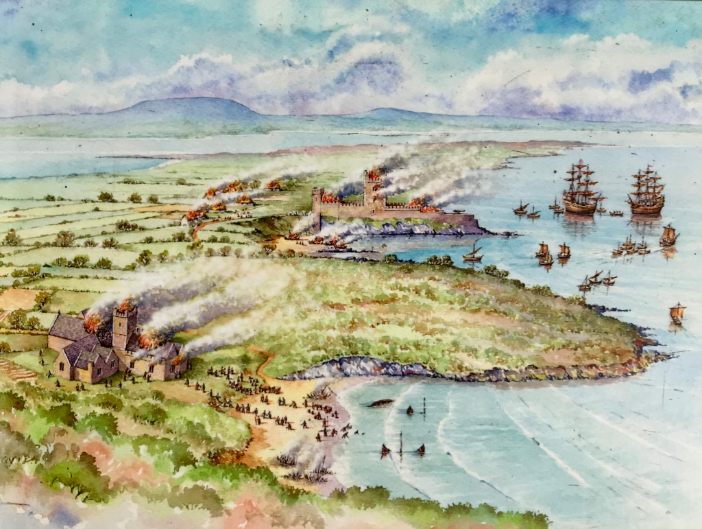
In the picture above – taken from the OPW information board – you can see the attacks of 1537 by ‘the citizens of Waterford’ on both the Friary (in the foreground) and the O’Driscoll stronghold of Dún na Long (beyond). The castle was subsequently partially rebuilt and was garrisoned by a Spanish force in 1601. It was then acquired and restored by the Becher family in 1655 and remained in their ownership until the late nineteenth century. We went to see what remains of the castle today.

Our visit to Sherkin only took an afternoon – albeit a golden one. There’s plenty more to see there – and other islands to be investigated. And an endless exploration of history to be had in the landscapes of West Cork.

Boyle’s Bealtaine: Rock Art, Ancient Festivals, and Archaeoastronomy

Bealtaine is one of the great ancient festival days, the one that heralds the beginning of the season of fertility in crops and animals. It marks the mid-point between the spring equinox and the summer solstice, making it a cross-quarter day, and this year it fell on May the 5th. For the non-Irish speakers out there, it’s not pronounced bell-tane, but byowl (to rhyme with owl, the bird) – tinnuh – Byowltinnuh. If you’re really keen on getting it right, you can listen to it here.

Things did not look promising as we arrived at the Giant’s Grave – cloud and fog

We devoted two posts recently to the subject of Boyle Somerville. The first was a post about his life and his pioneering work on what is now called archaeoastronomy, but which he called the new science of Orientation. The second was about a site that was close to his home in Castletownshend, Knockdrum Fort. In Boyle’s own article on Knockdrum (available online with a JStor subscription), he notes a particular orientation between two fallen galláns (or standing stones) on a slight prominence in the grounds of Drishane House, to Knockdrum Fort itself at sunset on Bealtaine in 1930.

Standing behind the Giant’s Grave, Knockdrum Fort is clearly visible on the horizon

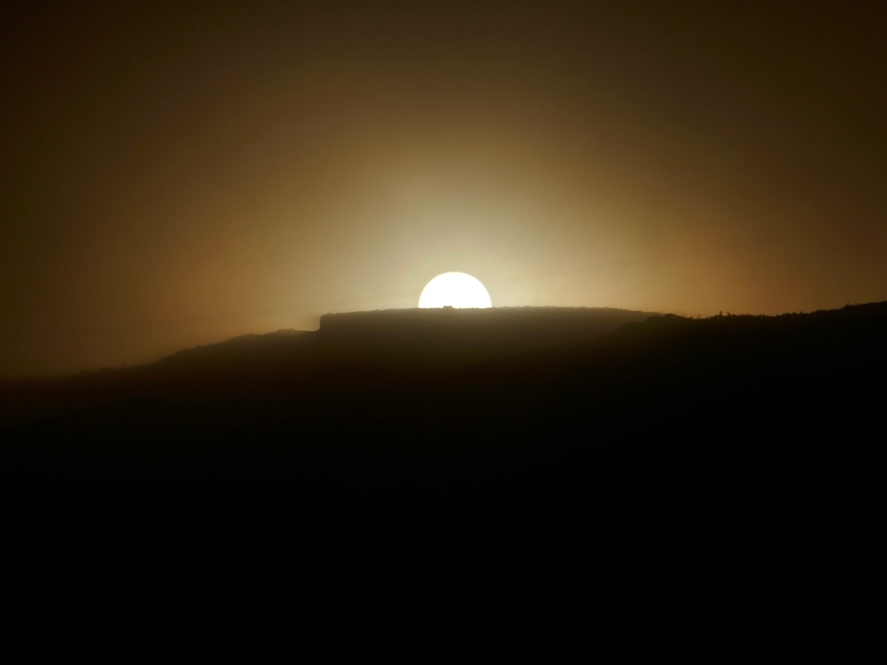
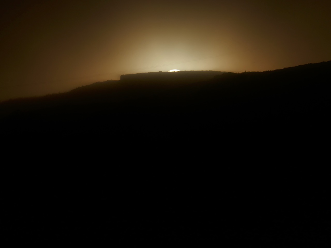
On that day, he states, he stood on the fallen galláns and watched the sun set directly over Knockdrum Fort. Yesterday, we did the same thing. It was a nerve-wracking business as not only cloud cover but a constant drifting fog obscured the hills and we were not hopeful that we would be able to see anything at all. But Boyle was up there, looking down on us, and at the last minute the clouds parted and there was the sun, exactly where he said it would be, angling slowly down to the fort.

The sun lights up the Giant’s Grave, making the cupmarks on its surface more visible

Watching this descent was a real highlight of my life here in West Cork. First of all, it felt really special to be on the same spot as Boyle Somerville, 88 years later to the day, and verifying his sighting by recording the phenomenon with photographs and video. If anyone else has done it in the intervening years, we can find no record of it, but would love to hear about it.

Secondly, this is essentially a rock art story, rather than a stone fort story. As Boyle himself pointed out, the stone fort at Knockdrum is but one piece of evidence of a long and continuous use of this commanding site. There are two carved stones at Knockdrum, one outside the fort with cup-and-ring type carvings, and a cup-marked stone currently lying within it. Look back at Robert’s post to see photographs and drawings of these two stones. These examples of rock art are likely the oldest artefacts on the site, dating to between four and five thousand years ago. There is also a cross-inscribed slab, possibly indicating an Early Medieval use of the site for ecclesiastical purposes. The stone fort itself may have been a relatively recent period of occupation, marking it as the fortified residence of a high-status individual about a thousand years ago. Boyle felt it may even have been used for look-out and defensive purposes in the seventeenth century.


Robert’s 2014 drawing of the surface of the Giant’s Grave capstone with 17 cupmarks

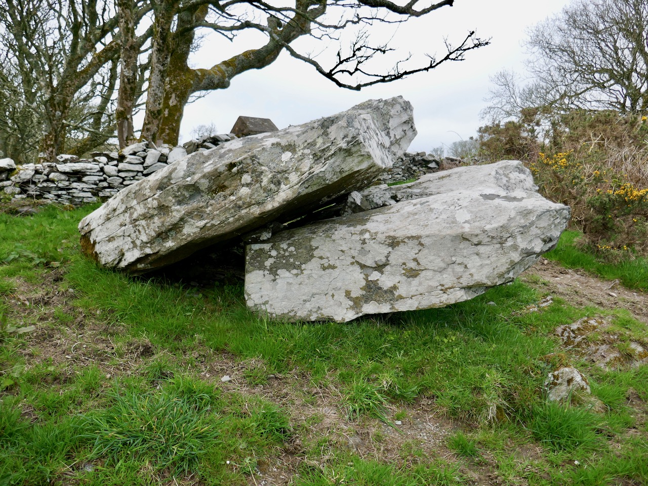
But the fallen galláns, known locally as the Giant’s Grave, also have cupmarks, tying them to the rock art tradition. The upper surface of the top slab has 17 cupmarks. Boyle counted 19 and the National Monuments record has it as 12, showing how difficult it can be to accurately identify man-made marks on a rough and heavily-lichened surface.

The Giant’s Grave, or fallen galláns, from the west side

While Boyle described this monument as two fallen galláns, it is unclear whether the placement of the two stones, one on top of the other, is accidental or deliberate. If deliberate, then this may be another type of megalithic structure, perhaps similar to a boulder burial (or clochtogle, as he preferred to call them). The orientation, then, as observed by Boyle in 1930 and by us in 2018, is from this probably Late Neolithic or Bronze Age structure to the place where other other pieces of rock art originally stood. Intervisibility, or the visibility of one piece of rock art from another, is well established in the Irish rock art literature. While we have written before (see here and here) about orientation from a piece of rock art to horizon markers, we have never before recorded a specific orientation, involving a solar event on a calendrical day, between rock art sites. So, this is a first for us, and may be a first for Ireland.

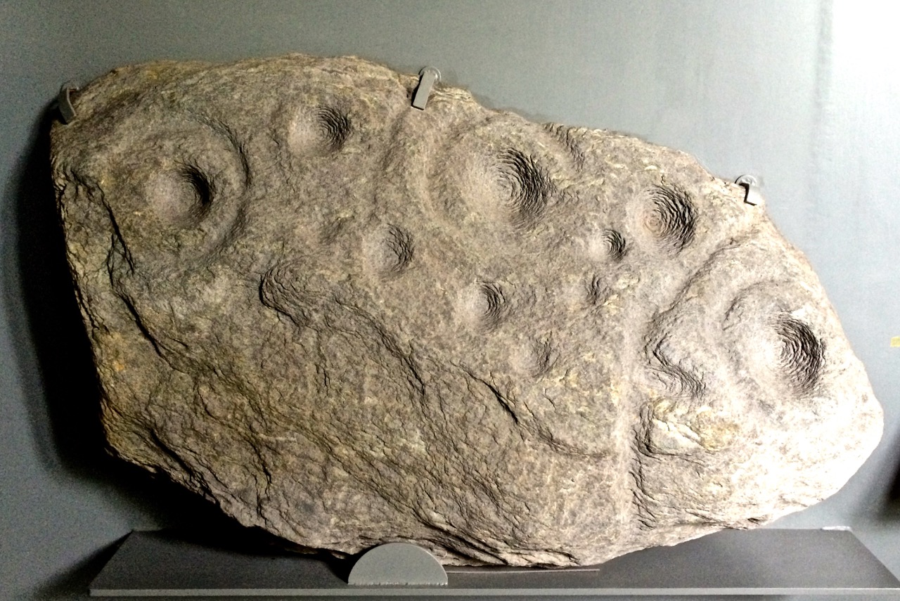
This is the Gortbrack stone, on its stand in the Stone Corridor at University College, Cork (UCC). It came from the townland next to Knockdrum Fort

In fact, it is easy to forget that three other examples of rock art come from adjoining townlands because they are no longer in situ: one is in the grounds of Drishane House and two are in Cork City. Six pieces of rock art less than 3 kilometres apart make for a ‘concentration.’

Above, the rock art currently in the grounds of Drishane House, but originally from Farrandeligeen

The Drishane House stone came from Farrandeligeen, immediately west of Drishane townland. In the field notes kept by Boyle, and discovered by Dr Elizabeth Shee, he notes that the stone was originally built into the wall of an outhouse. . . but was brought to Drishane House by Colonel Somerville in about 1880, for safe keeping.

This is one side of the Bluid Stone (both sides are covered in cupmarks), which is housed at the Cork Public Museum

The other two pieces are from the townlands of Gortbrack, immediately to the west of Farrandau (the townland in which Knockdrum Fort is situated) and Bluid (either East or West) which is to the west of Gortbrack. Gortbrack is in the Stone Corridor at University College Cork, and the Bluid stone (an unusual two-sided example) is at the Cork Public Museum. Both had been in the possession of Boyle Somerville, and were presented to UCC after his death. They had been brought to him by local farmers who knew of his interest in such things. We can only lament that of the six separate examples of rock art known from this immediate vicinity, we can be reasonably confident that only one, the Giant’s Grave, is in its exact original location. Neither of the two pieces at Knockdrum Fort are precisely where they were found, but at least they do not seem to have been moved more than a few metres from their original situations.

There is scope for much more investigation of this intriguing group – we shall call it the ‘Boyle Somerville Rock Art Concentration’. But for now, let us once more raise a toast to Boyle, pioneering archaeoastronomer of West Cork.  His legacy lives on.

Rock Art: Returning to Derrynablaha

Three years ago Finola and I both wrote posts about a remote valley in the Kerry hills, north of Sneem, where some iconic examples of Irish Rock Art can be found: Derrynablaha Expedition by Finola, and my own Glen of Ghosts. I think it’s time to revisit this hauntingly beautiful place, and its ancient carved stones which could date back 5,000 years, to Neolithic times.

All the examples of Rock Art illustrated in this post can be found in the townlands of Derrynablaha and Derreeny, Co Kerry

When Finola visited the valley in 1972 and 1973 she explored and recorded 23 marked stones, all within the townland of Derrynablaha: these were illustrated in her UCC thesis The Rock Art of Cork and Kerry. Between 1986 and 1996 The Iveragh Peninsula Archaeological Survey undertook further detailed research, resulting in a comprehensive volume published by Cork University Press: this contains a 30 page section on Rock Art and includes many of Finola’s drawings. The book lists 26 known examples, now, in Derrynablaha with a further 7 stones in the adjacent townland of Derreeny.

Cork University Press volume (left) which includes many of Finola’s drawings (sample page,right)

My introduction to prehistoric Irish Rock Art came in the early 1990s when I first visited West Cork to look at a piece of land which my friends Danny and Gill had purchased, with a view to building themselves a house: I was to be the designer. We walked the 5 acre site at Ballybane West and discovered a large, flat outcrop of rock some 30 metres long by 10 metres wide, the surface of which was covered with strange carved motifs. These intrigued and occupied me for many years. Eventually I made contact with the Department of Archaeology at University College Cork and unearthed Finola’s thesis. Finola had visited ‘Danny’s Rock’ during her explorations: she and I have just completed a comprehensive article on Rock Art in the environs of Ballybane West for a forthcoming edition of the Journal of Bantry Historical Society, due to be launched on 10 May.

Because of the number of pieces of Rock Art at Derrynablaha, as recorded by Finola, I set out to visit the site and was fortunate, I think, to locate several of the pieces there: they are hard to find. My most significant impression of the place was its isolation and loneliness: when Finola was there decades before, the O’Sullivan house was occupied – a family home and working farm – now it was a ruin returning to nature. No one lives in that valley today: it is home to sheep and eagles.

The most iconic piece of Rock Art in Derrynablaha is high up on the slopes of a mountain: there is no path, and the trek is across bogs, boulders and streams. Also remember that all the land is private – farmed now by another O’Sullivan from a neighbouring valley – and permission has to be sought in advance of any attempt to visit. Strict rules apply, understandably, to the use of gates and fences and no dogs will be permitted. The iconic piece is probably Ireland’s most important. When you stand up there, on a good day, you can see to distant horizons and take in outstanding views: time for reflection, perhaps, on what inspired our forebears to create such panels in these places – was it where they lived? Or did they assemble there for celebrations? The mountainside seems to present a natural platform here, with the carved rocks a central focal point. The work involved in carving these motifs would have been significant and time-consuming – they had only stone tools.

When we give talks about Rock Art we ask a question: Is it art? Some of it is certainly pleasing to the eye – the iconic Derrynablaha carvings are. But they also appear random, as though new carvings have been squeezed in amongst older ones: maybe the proliferation of motifs – or the number of carvers involved – was more important than any particular visual effect or relationship. We don’t ever try to answer that question, nor guess meanings for things we can never know. It’s enough – for me, at least – to experience these ‘footprints’ of former souls in such wild places.

We go far out of our way to look for Rock Art. It would take more than a lifetime to see every piece in Ireland. Some would argue that such a pursuit would be pointless – seen one, seen them all. It is true that the motifs are similar, although variable, across Rock Art panels, not only in Ireland, but in Britain and on continental Europe. That in itself is remarkable: 5,000 years ago humankind was making identical marks on rock surfaces all over its world. For me, however, it’s not really the motifs – spectacular though many of them are. It’s the places that they mark which are meaningful. Rock Art took me to the mountainside in that lonely Kerry glen and showed me a most incredible view across townlands and counties: I see it as inspiration, relevant as much in the 21st century of this struggling world as it was, perhaps, thousands of years ago, when the same world was a little bit newer.

Revealing Rock Art: 150 Years of Images

This week a powerful image from Ken Williams of Shadows and Stone (copyrighted, used with permission) lit up the Irish Rock Art Facebook Page (180,000 people had seen it at last count, and it’s been shared more than 1500 times). The photograph, taken with Ken’s signature blend of natural and artificial light, was of a stone in Kerry often known as the Staigue Bridge Rock Art, although technically it’s in the townland of Liss.

As it turns out, this is one of the best-documented rock art panels in Ireland, with images dating from the middle of the nineteenth century to the present day.

Taken on a recent visit to Liss/Staigue Bridge Rock Art site. This is probably what a casual visitor will see. Can you make out any carvings?

The response to this photograph highlights several important features of Irish rock art. First of all, it seems people are hungry to know more about these enigmatic carvings, and yet rock art is one of the least known aspects of Irish archaeology. Time after time, as Robert and I present exhibitions or give talks, we meet up with a near-universal response of “How come we’ve never heard about this before?”

Another view of the top section of the panel

Secondly, a photograph like this is not normally what you observe in the field. Commonly, rock art (and this one is no exception) is actually difficult to see under most lighting conditions. This rock is just off a popular hiking trail and the vast majority of walkers are unaware of what is a few meters from their path. Even if the route went right alongside it, most walkers would pass by without noticing anything unusual.

This will give you an idea of the extent of the panel

Thirdly, it is no longer possible to record rock art by any of the traditional methods that were in common use up to the 1990s. Nowadays, recording techniques that do not impact in any way with the rock surface are preferred, and that limits us to what can be imaged through photographic and scanning technology.

Aoibheann Lambe’s virtuoso photograph – this is the panel in the second photograph, taken from almost the same angle but under perfect natural lighting conditions. © Aoibheann Lambe

There are currently three ways in common use to photograph rock art so that the carvings will show up. The first is to use the natural low, slanting, shadow-casting, light at sunrise or sunset. Rock Art Kerry, the work of archaeologist Aoibheann Lambe, has an outstanding photograph of the rock surface using only natural light. Given our climate, it is likely that many visits to the rock in all kinds of temperatures, early in the morning or late in the evening, were necessary before the perfect shot was possible. Aoibheann’s Facebook page is the place to be these days for new finds – she is making discoveries at a breathtaking pace!

Another of Aoibheann’s photographs – this one shows the extent of lichen growth on the rock surface, which often functions to obscure carvings. © Aoibheann Lambe

The second is to use flash photography – a technique that Ken Williams has perfected and uses to great effect to show up even faint carvings. We’ve seen Ken working – this isn’t a mater of a simple flash on a camera – multiple flashes are deployed with a skill that comes from long experience, and respond to an electronic trigger on his camera.  If you haven’t already done so, a visit to his site is an absolute must for anyone interested in rock art – or indeed in Irish archaeology.

Finola and Robert from Roaringwater Journal and Ken Williams of Shadows and Stone at Derrynablaha in Kerry

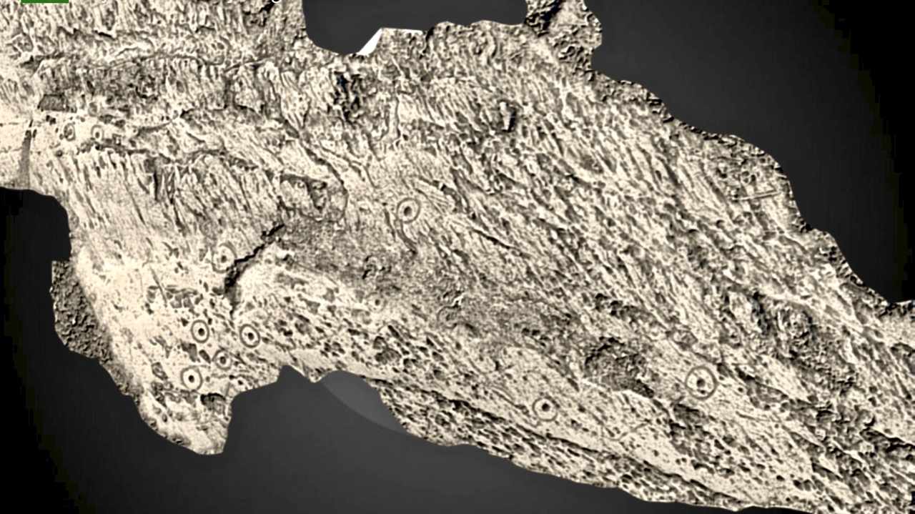
The third technique is that of photogrammetry. In essence, this is the combination of multiple high resolution photographs to construct a 3D image of a rock surface. The Discovery Programme has been sponsoring 3D imaging of various national monuments, including Ogham Stones and Sheela-Na-Gigs, for some time. Under this program, The Dingle Museum (Músaem Chorca Dhuibhne) has produced a series of 3D images, including an excellent one of the Liss/Staigue Bridge rock art panel.

The top panel rendered in 3D – this is a screen capture. © Corca Dhuibhne 3D 2017

It is particularly exciting because it’s unusually clear (rock art 3D images can suffer from lack of clarity for a variety of reason) and also because this technique allows an image of the whole panel, whereas photography can only capture pieces at a time.

These stills have been captured from the 3D images on the Museum site but they do NOT compare with the experience of viewing and manipulating the 3D images on screen. It’s brilliant work, so please go to their page for the real thing. © Corca Dhuibhne 3D 2017

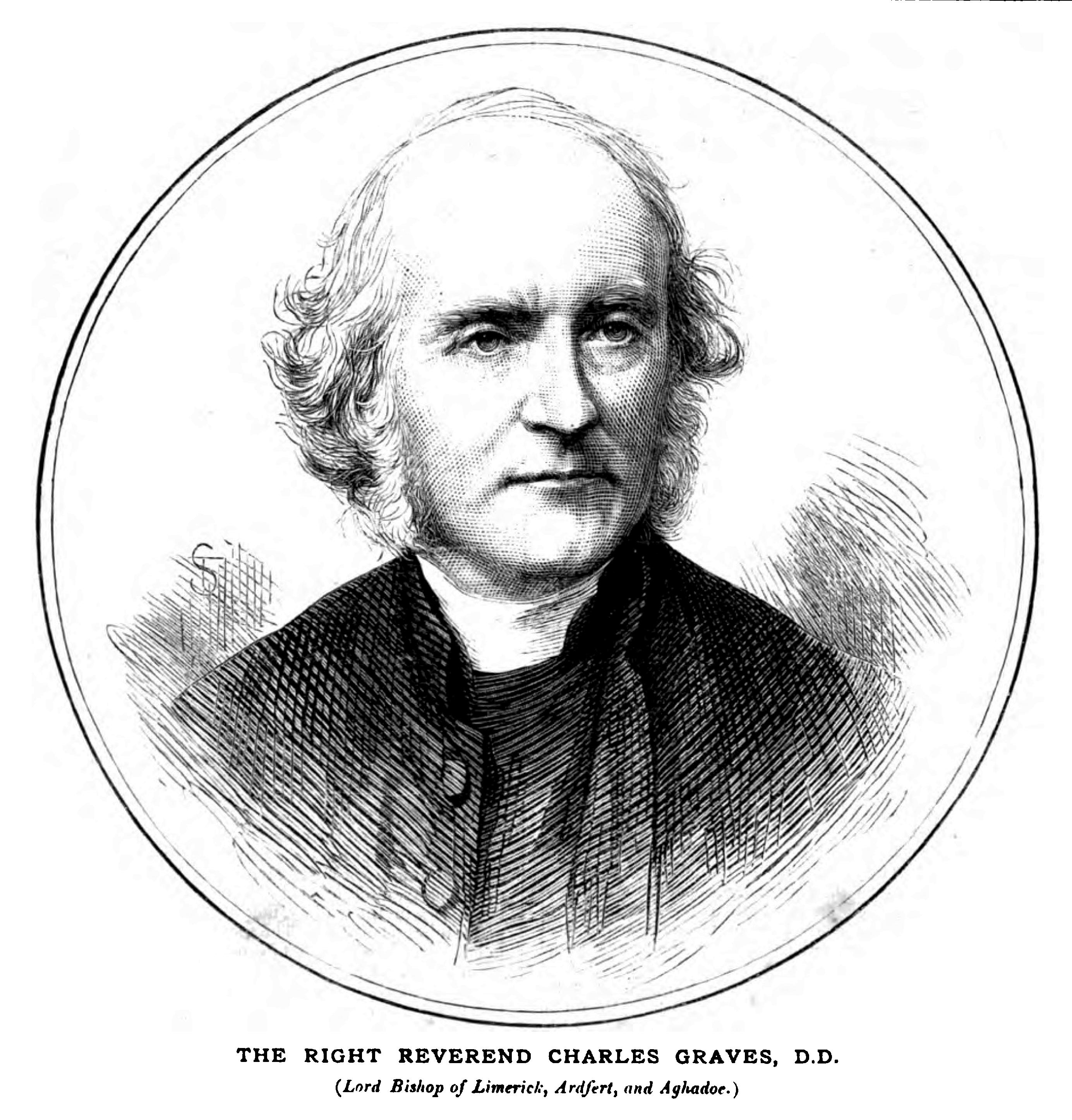
But back to the past, when it was still possible to produce drawings of the carvings. Back, in fact, to the 1850s! There were two Irish antiquarians called the Rev Graves. The better-known one was the Rev James Graves of Kilkenny, but the one we are concerned with here was the Rev Charles Graves, Bishop of Limerick and a noted mathematician, scholar, antiquarian, and President of the Royal Irish Academy. He was fascinated by Ogham and on a trip to view Ogham stones in Kerry he came across other ‘inscribed rocks’ of a type he was unfamiliar with. He wrote up his findings and presented them to the Academy in 1860.

Taken from the Wikipedia article on Charles Graves. Image above by Anonymous – Church Bells (1874–1875)) W. Wells Gardner, Publisher, London, Public Domain

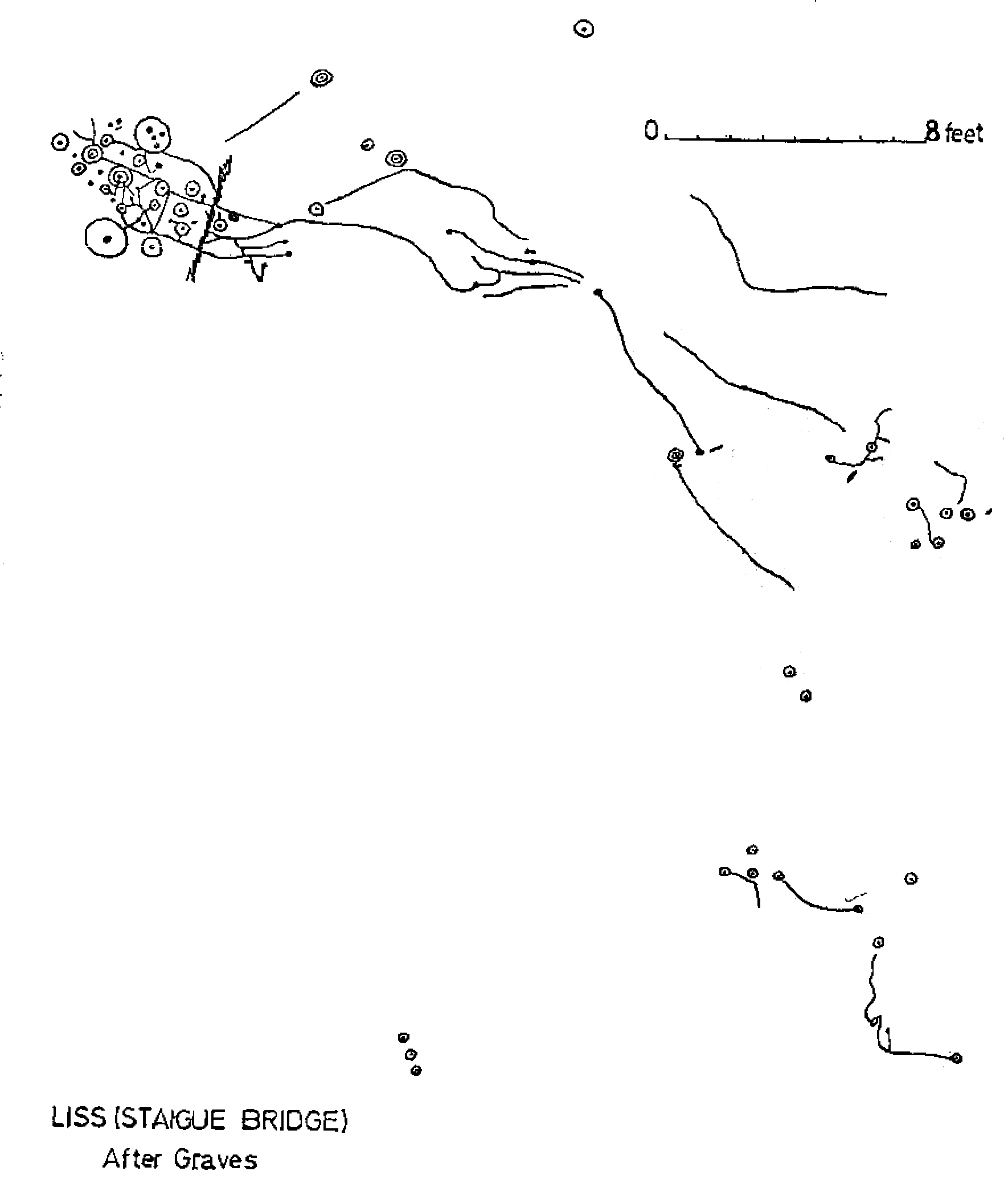
The good Bishop had none of our modern scruples about interfering with the rock surface, or removing the turf to see what else he could fine. He did both: three feet of turf was stripped back to reveal the extent of the carvings and a rubbing was made from the whole surface, which was later converted to a survey-drawing. This, to this day, is the only drawing we have of the complete carving.

When I wrote my thesis on The Rock Art of Cork and Kerry in 1973 I said this about Charles Graves:

The first paper devoted to rock art in Ireland was by Rev. Charles Graves. In 1860 he read a paper to the Royal Irish Academy entitled “On a previously undescribed Class of Monuments”. His paper, mainly concerned with Co. Kerry, is still very valuable and his drawings and observations are often more accurate and more reliable than many later accounts.

My own drawing was done in 1972. The technique I used then was to chalk in the carvings and trace them onto clear plastic film. That tracing was then re-traced on to good quality paper using indian ink and a stipple technique and then photographically reduced by a professional printing firm. It is naturally an imperfect and subjective method, but long practice enabled me to produce surprisingly accurate renditions which stand up well to modern recording techniques.

I confined my drawing to the main area of carving and used Graves’ drawing as an additional illustration

There are few examples of Irish rock art with the pedigree of Staigue Bridge. It is classic cup-and-ring art in its execution but also contains the unusual elements of very large circles surrounding small cupmarks. It is enormous – a fact that would never have been appreciated if Graves had not determined to find the true extent of the carved surface (although of course we do NOT condone this practice now). It has a literature that goes back a century and a half, and was one of the first pieces of Irish rock art to be described and illustrated. It’s a national treasure.