I have had two experiences in the last couple of weeks that have both been outstanding, instructive, beautiful and unsettling.
Let’s start with Esk Mountain. Long term readers will remember Finbarr, our Bug Hotel and lockdown mascot (not Finbarr the pheasant, that’s another story). This Finbarr was designed and built for us by Kloe and Adam, the Two Green Shoots. We visited them in 2020 and were hugely impressed by what they were accomplishing in their gardens and their passion for conservation.
Kloe is now immersed in an enormous and significant undertaking, having expanded her holdings and diversified into animals. What I saw on the walk-and-lunch I did recently is her transformative vision in progress. Her project is called Esk Mountain and you can find it and read all about it here: https://eskmountain.com/.
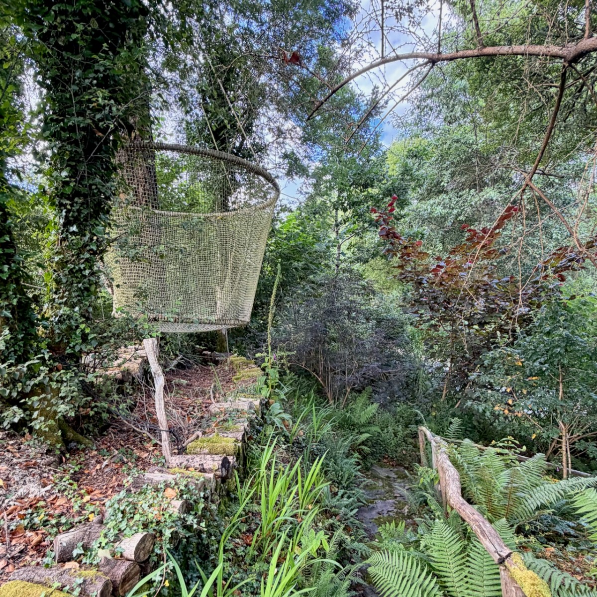
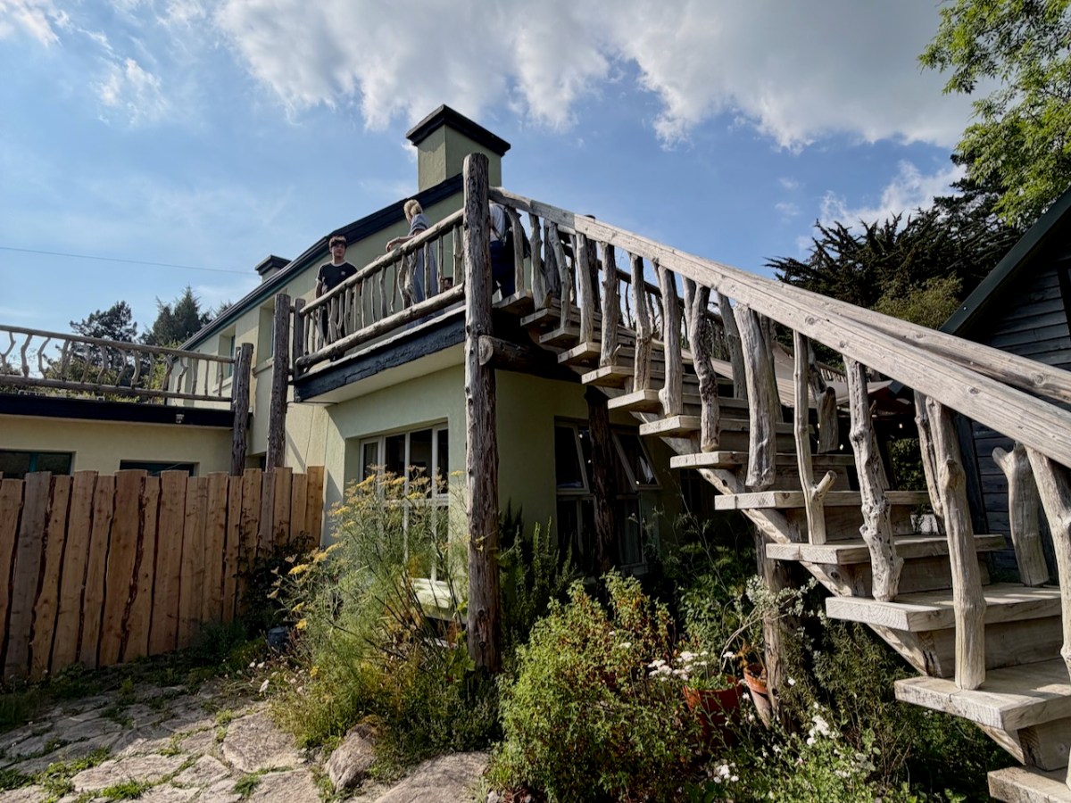
But you can do better than read about it – you can stay here in an utterly charming studio apartment with the best accessory to a B and B I have ever seen – a nest swing! This is typical Kloe – full of imagination and using materials that would otherwise go in the landfill.
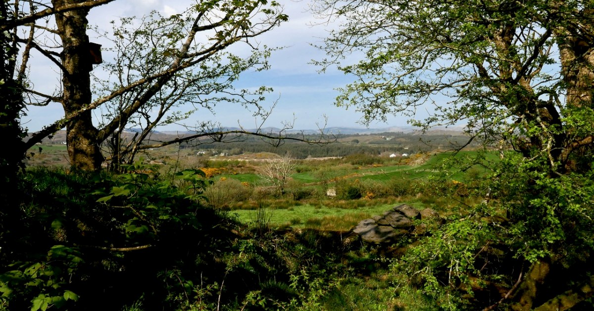
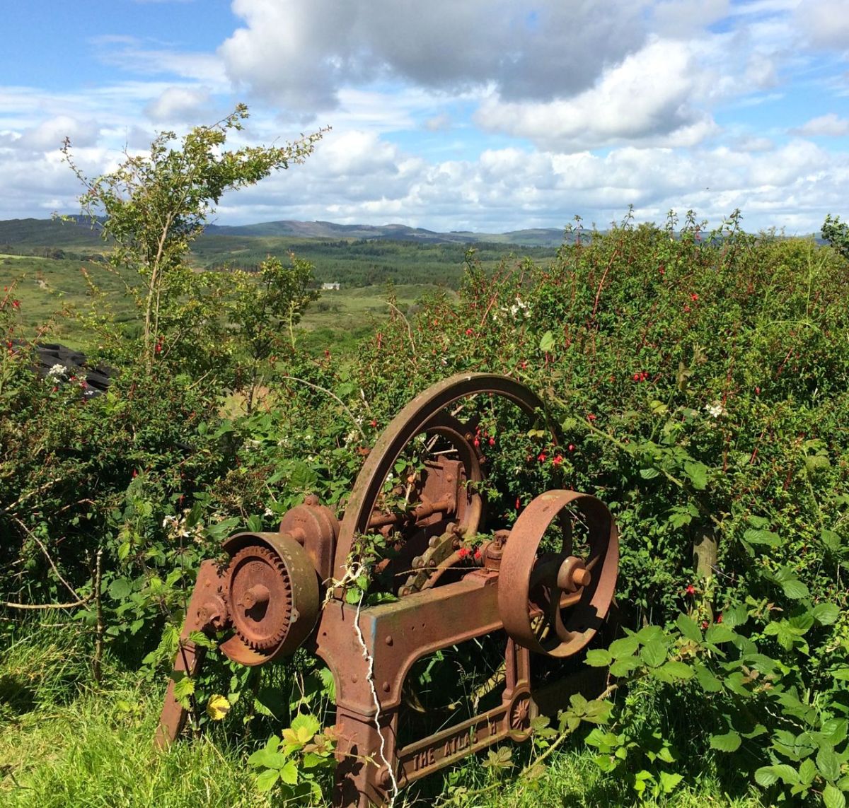
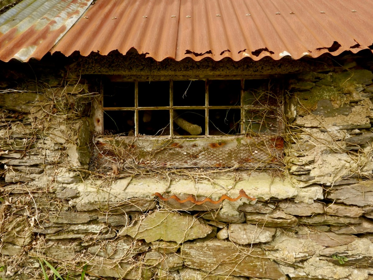
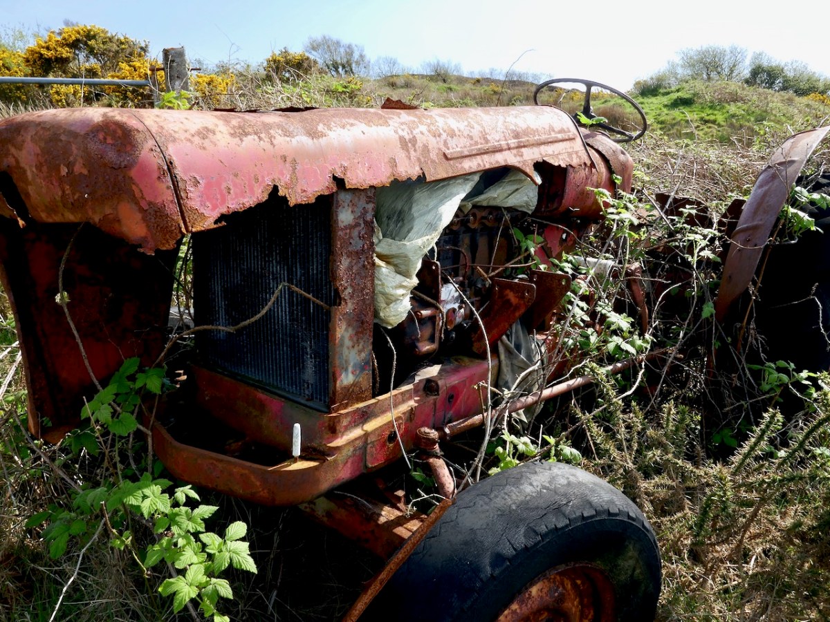
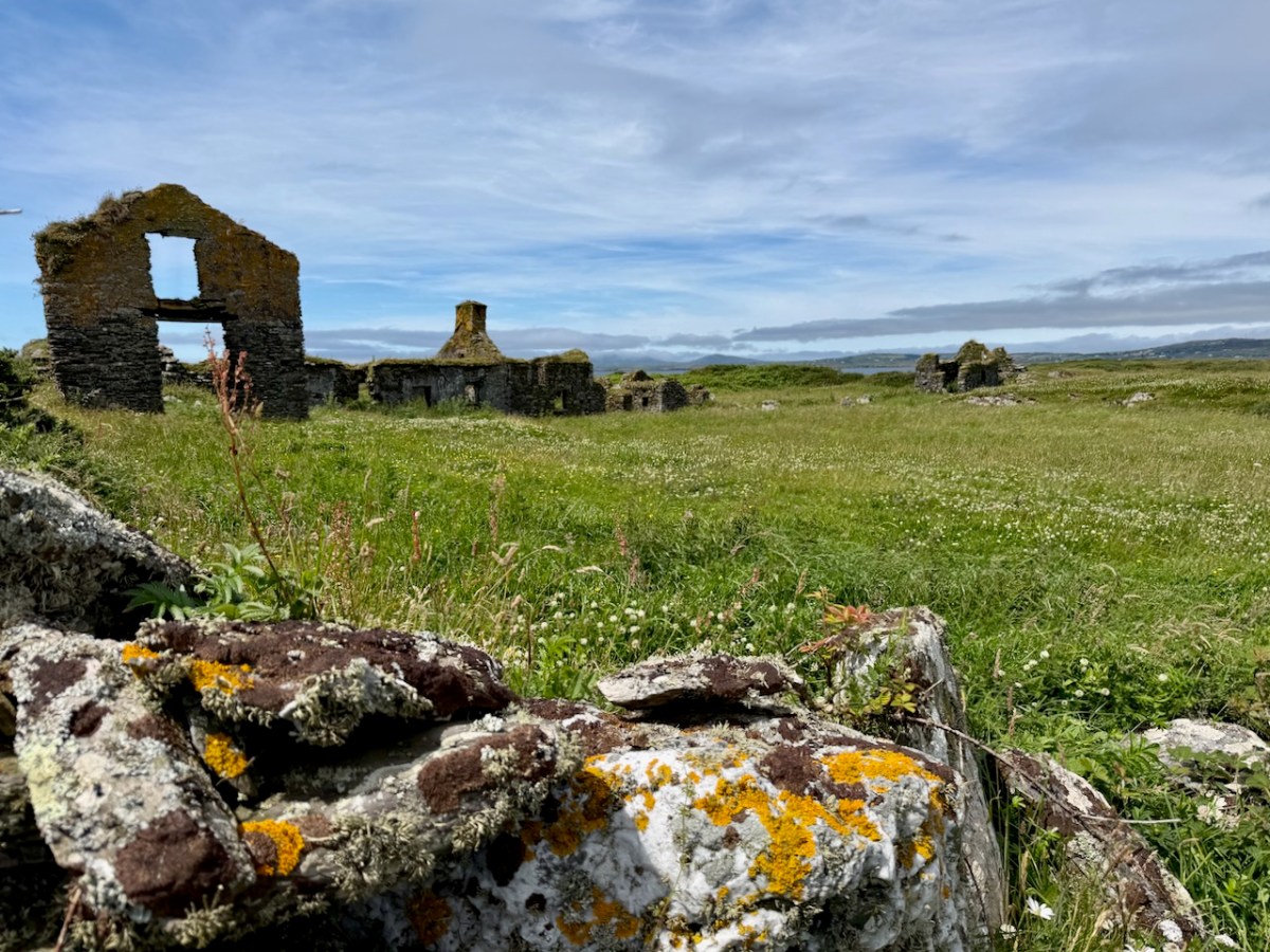
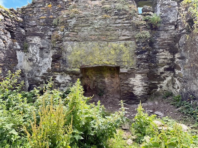
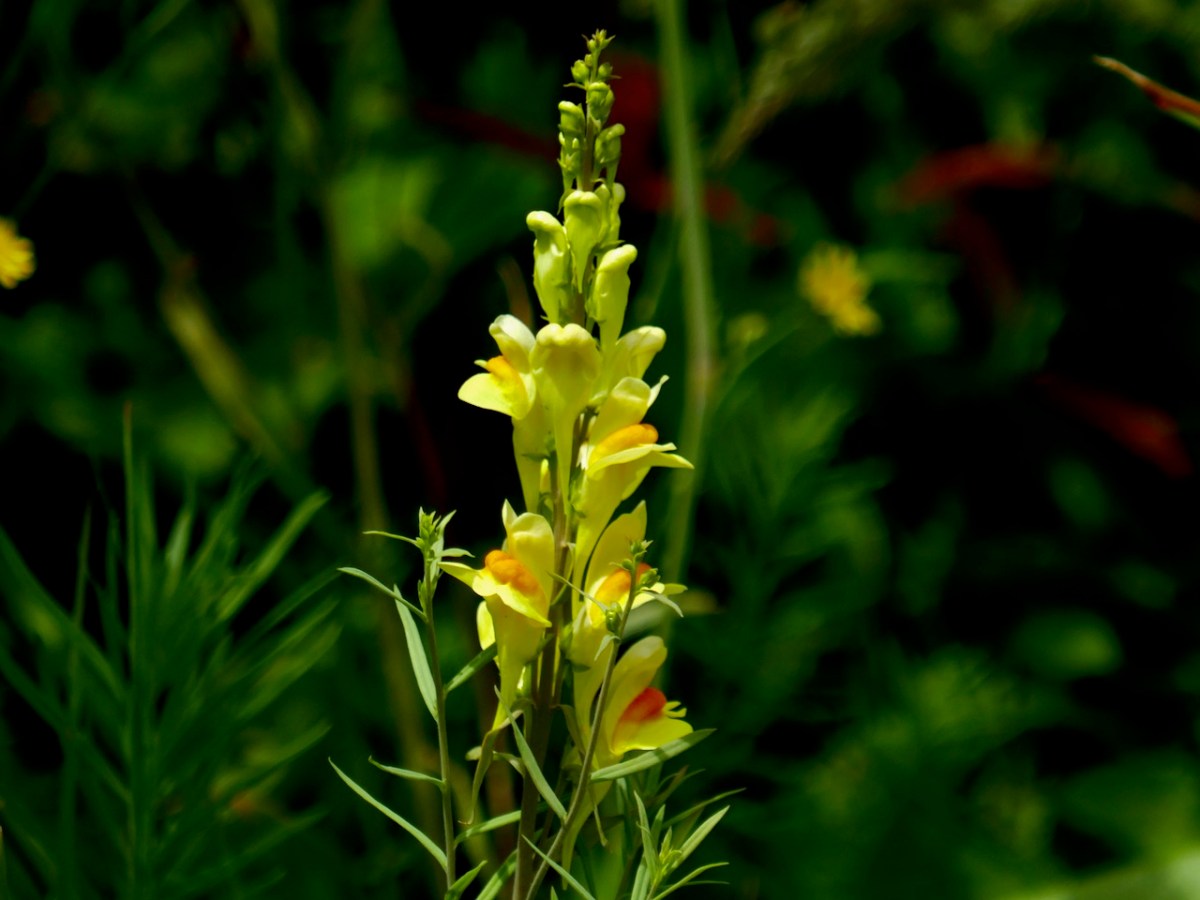
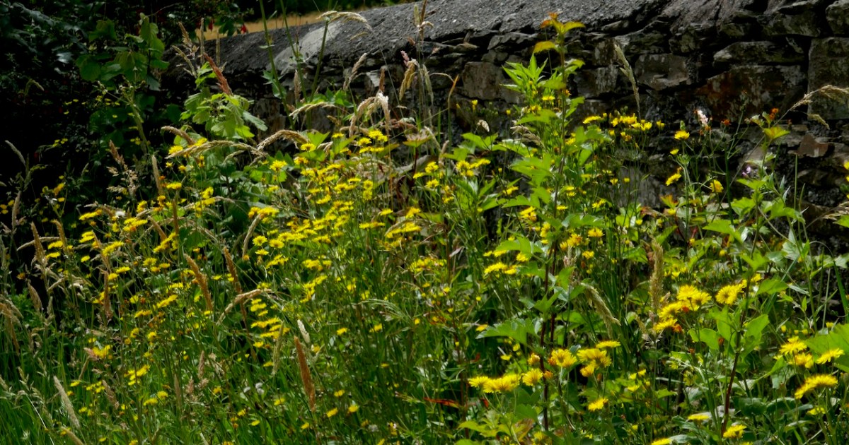
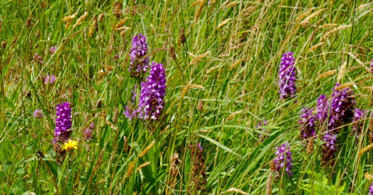
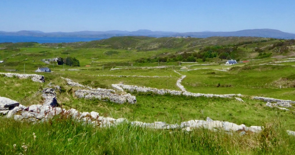
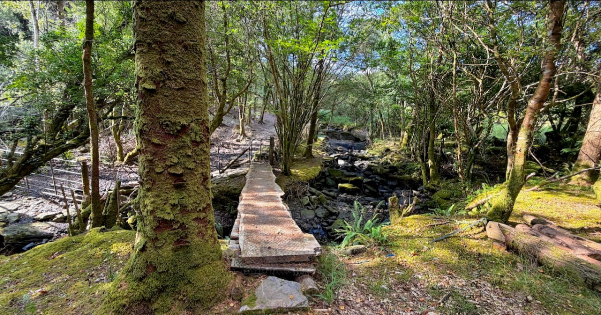
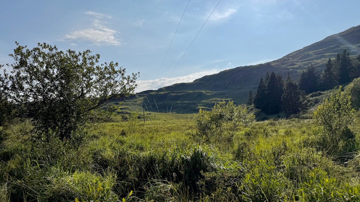
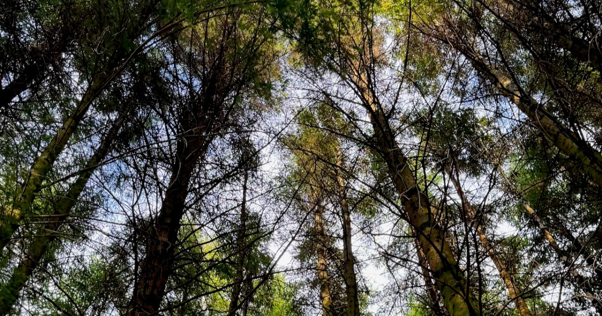
Kloe has 270 acres and it was set up over 100 years ago with tree species to attract deer and provide good habitat for hunting. Then the rhododendrons arrived, smothering everything in their path. Her work now is restoration and it is very hard work indeed. She and her workers and volunteers have been clearing rhodos and felling trees and letting the light in so that the native species have a chance to grow – and they do! We saw all kinds of oak and holly seedling as we wended our way through the trees.
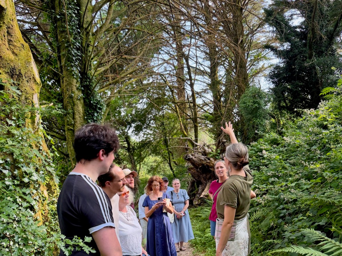
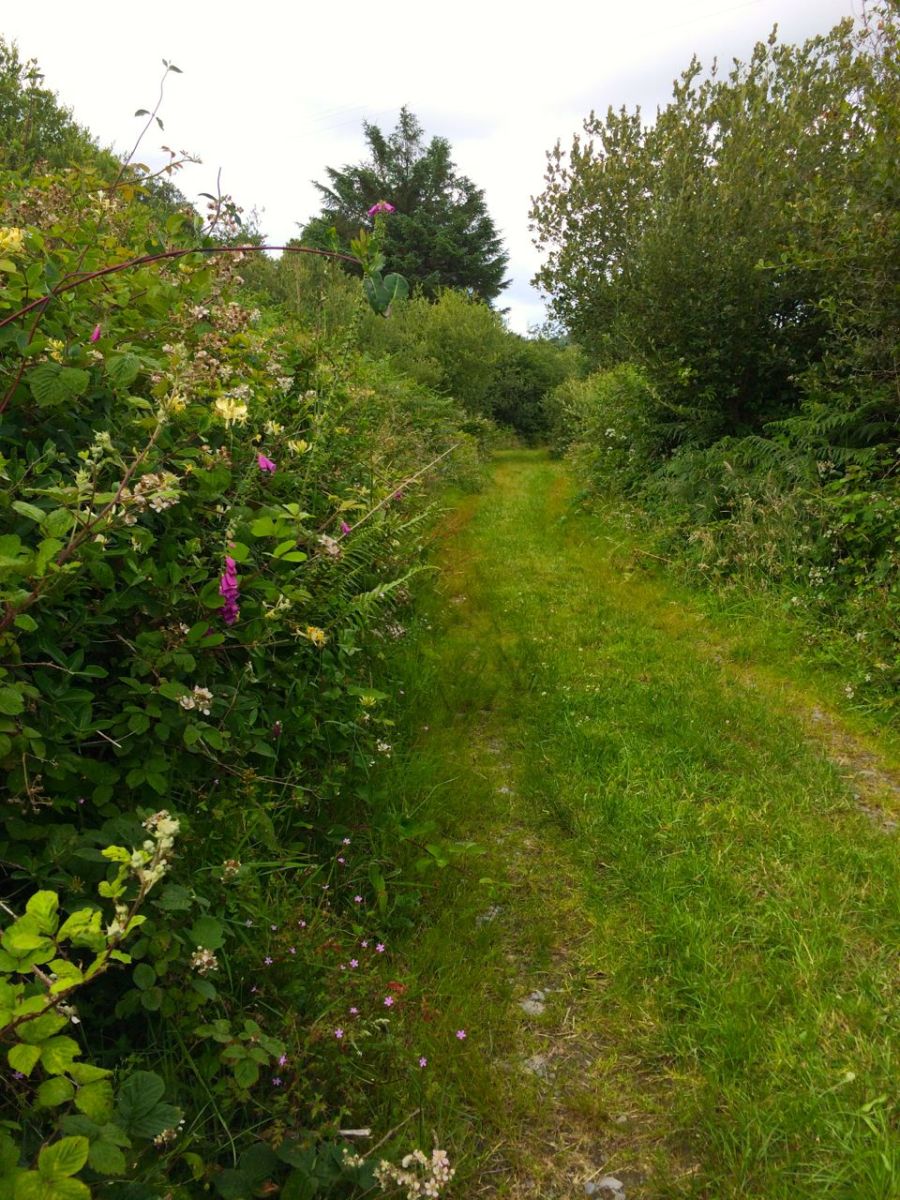
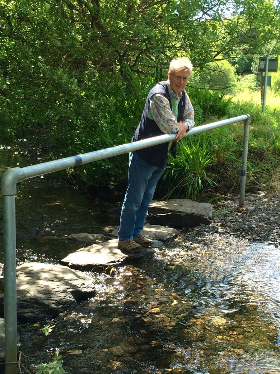
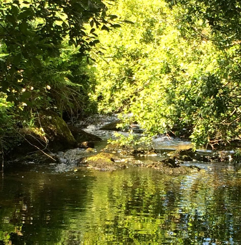
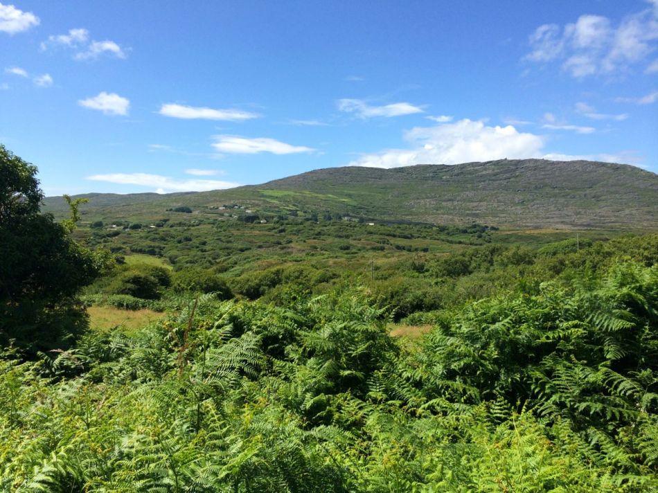
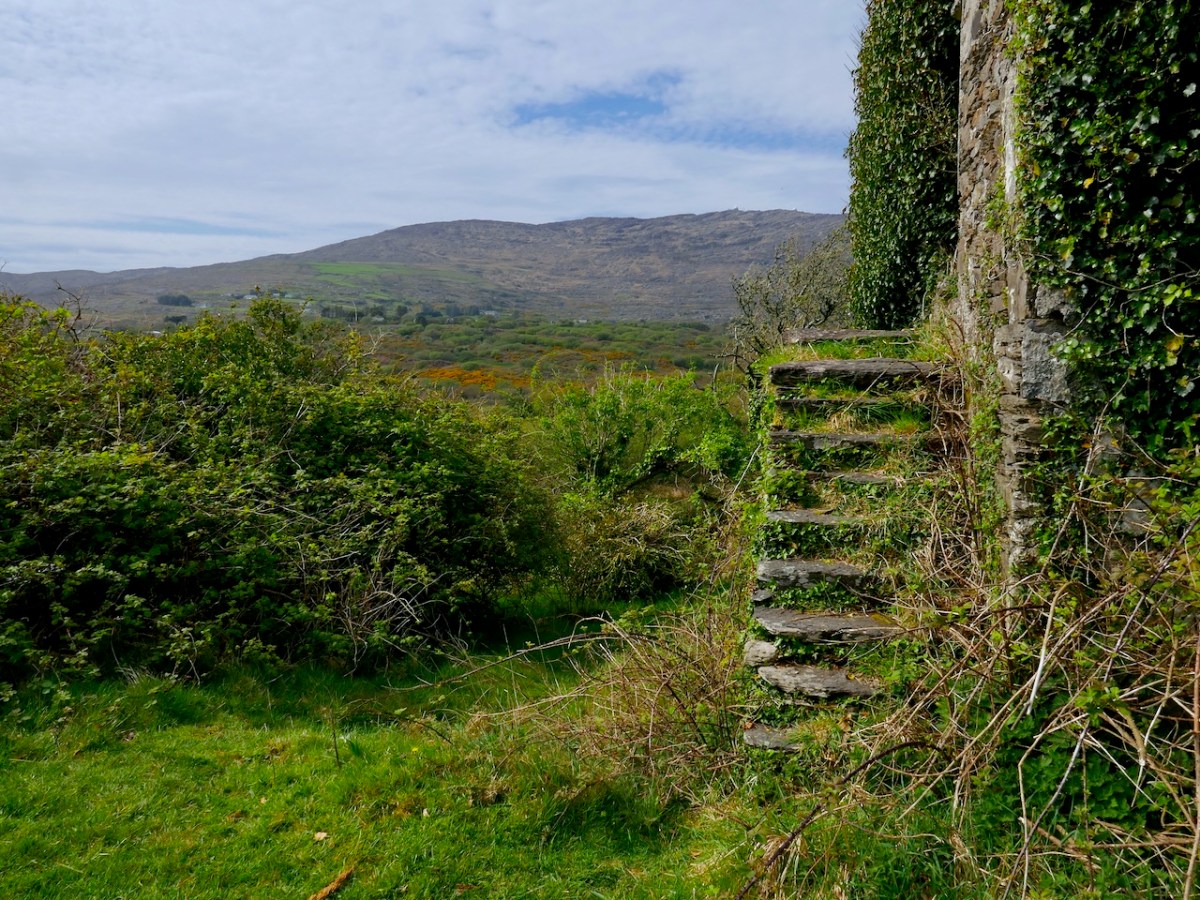
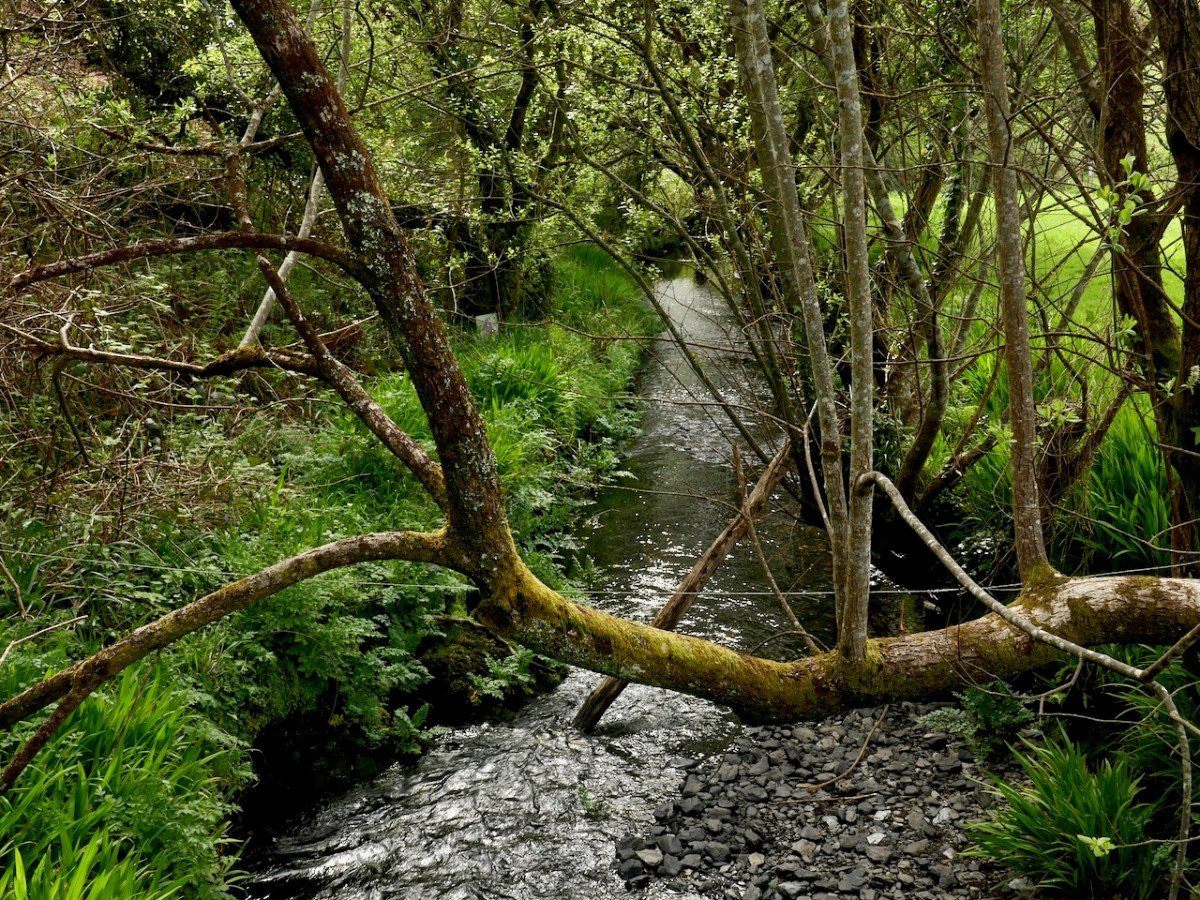
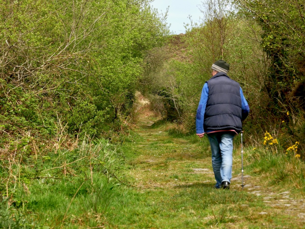
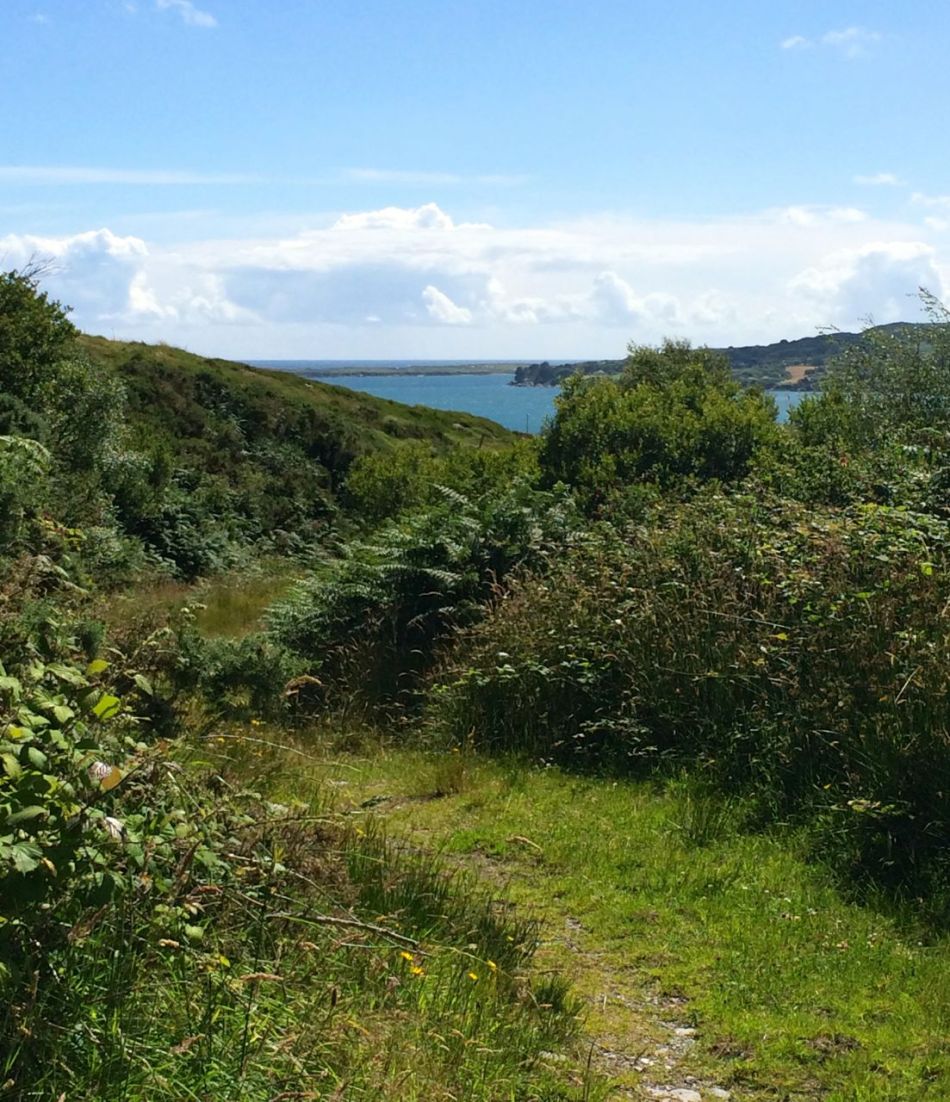
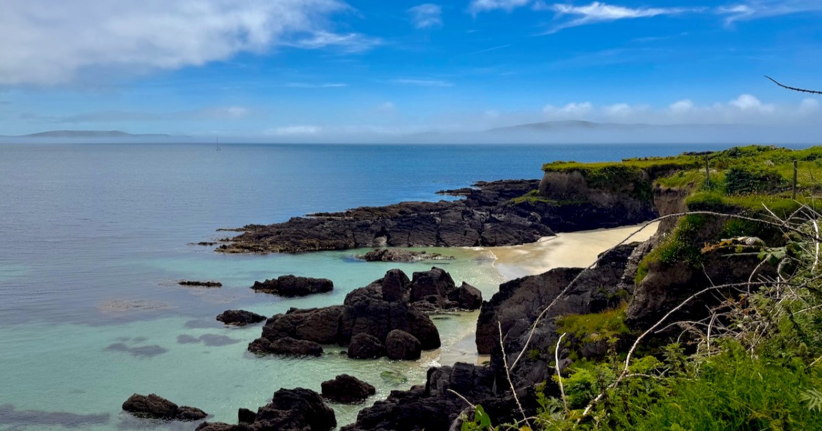
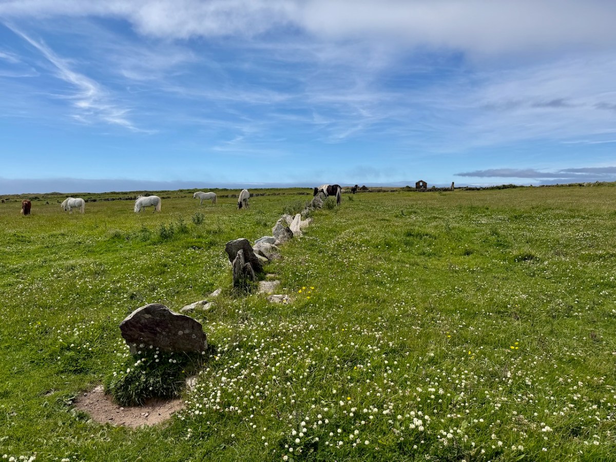
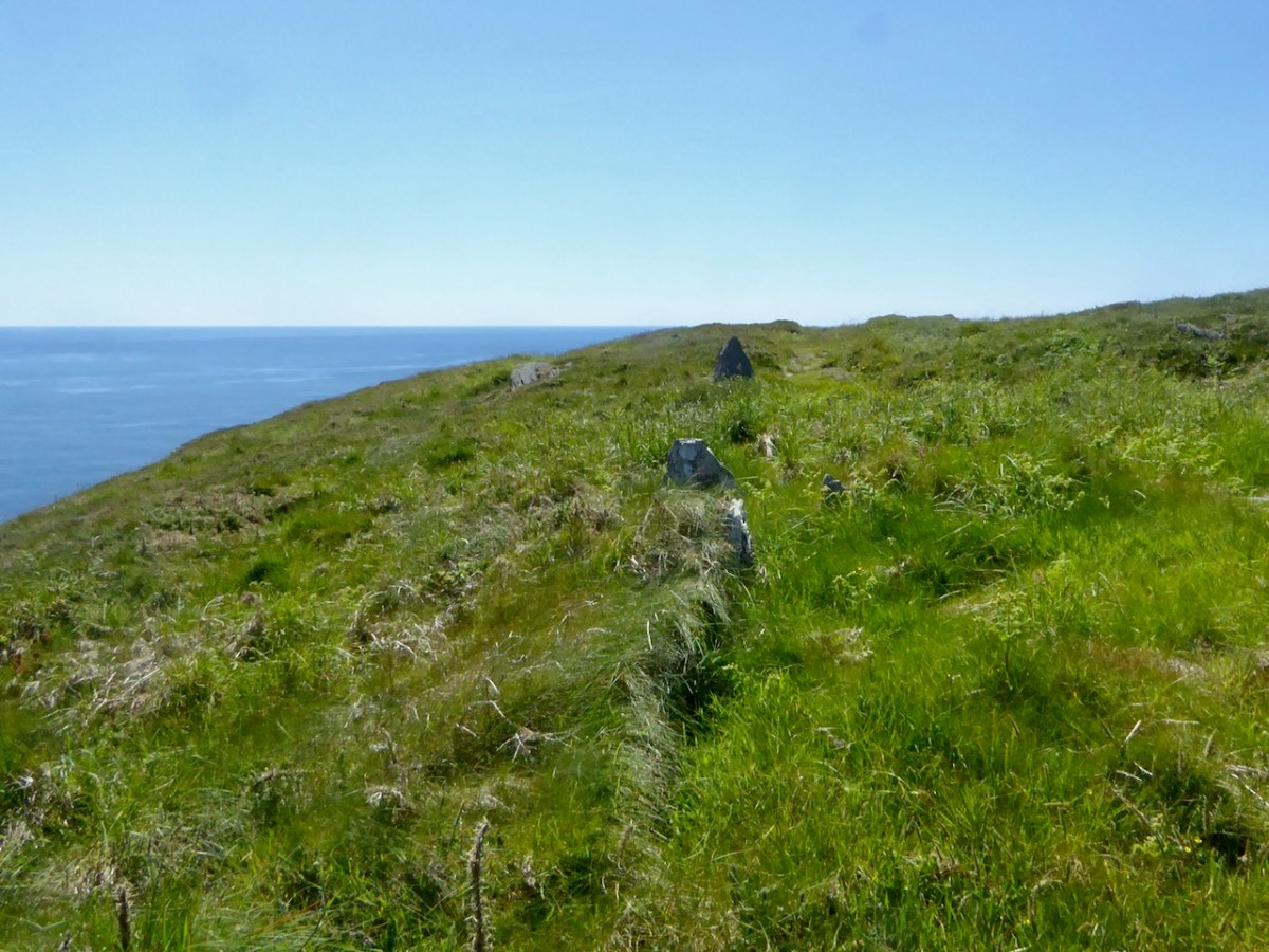
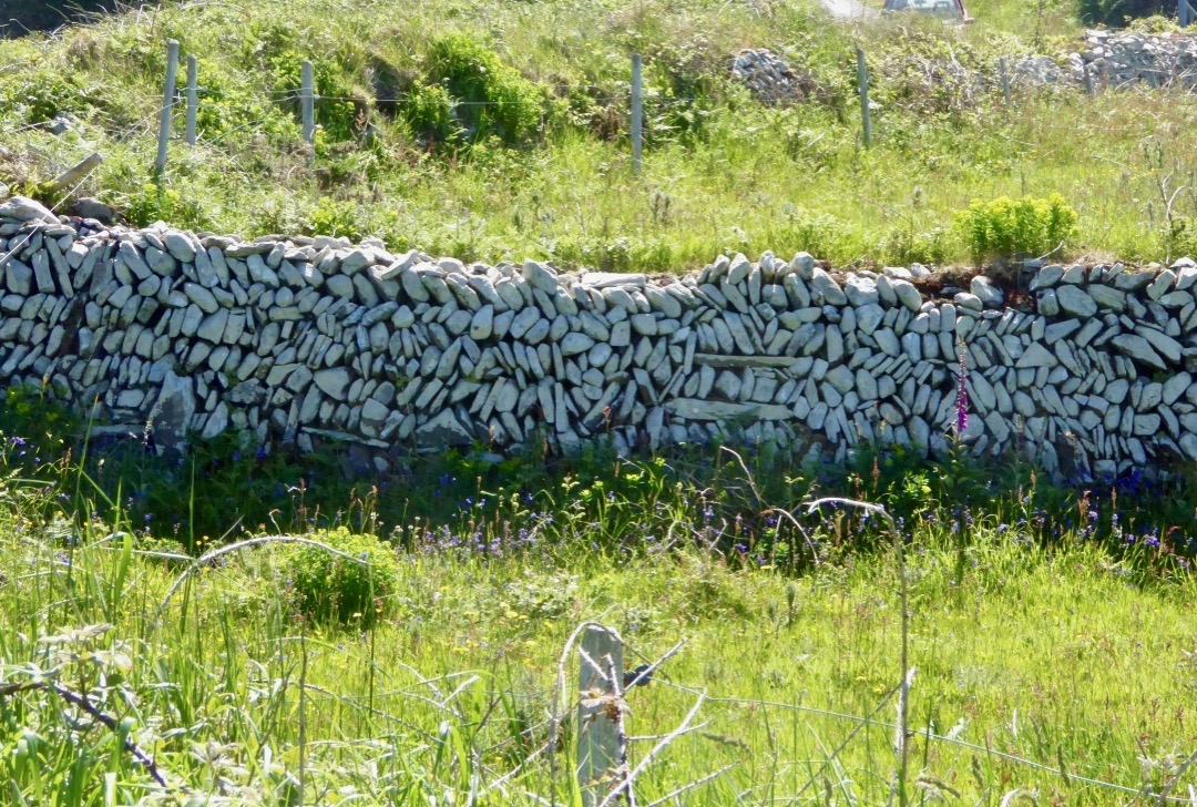
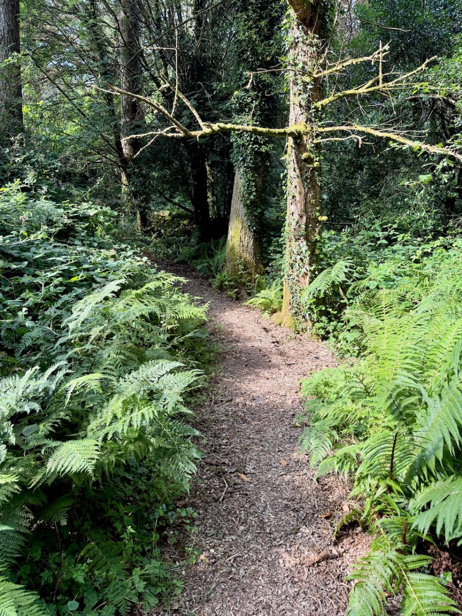
There are bridges and planks and stone steps and trails – the sense is of winding your way along magical little paths through the forest. Kloe is a great guide, stopping to tell us what we were looking at, pointing out plants, old walls, new shoots, old water courses. And then we reached the place where the mountain comes into view, green and dramatic – and being grazed by Dexter Cattle! It’s all part of the plan – the Dexters came from Derry Duff Farm, about which I wrote in my post Miracle in the Mountains.
We could see them far away – but Kloe showed us how you do this now with Technology. Each animal wears a collar, so it’s always findable on your phone and you can move them around from grazing spot to spot, using this technology. Amazing!
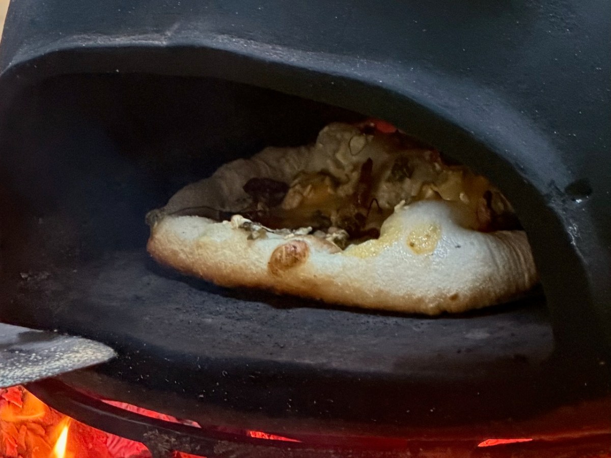
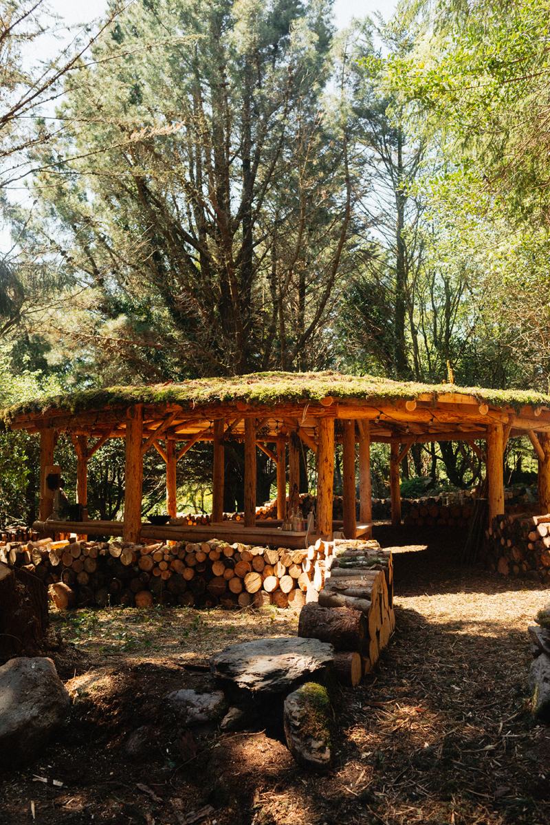
The walk ended with home made pizza in the outdoor pavilion, using a pizza oven and wood fire. We all made our own, using some of the materials we had foraged along the way, and very good local meats and cheeses. The most delicious pizza I have ever eaten!
Kloe’s aim is to restore Esk Mountain to a natural and healthy habitat. It’s a daunting task but if anyone is up to it, it is Kloe. Her passion for the forest and the land is obvious, as is her commitment to getting the job done.
(Photo below courtesy of Esk Mountain)
If you would like to help, book an experience or if you can’t do that, sponsor a stake to help build their deer fence – after all the early years of trying to attract deer for hunting, it is now imperative to keep them out. That’s a lot of fencing!
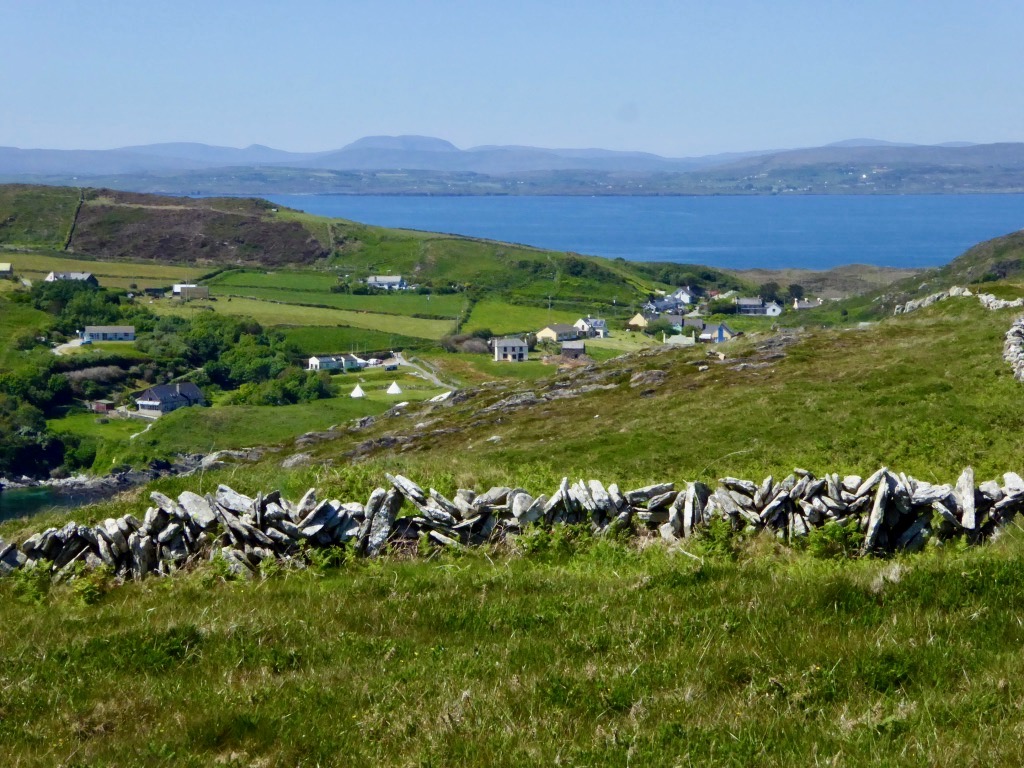
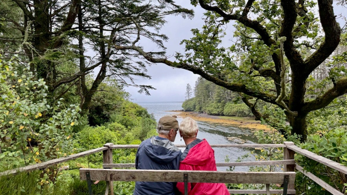
After that inspiring visit, it was an interesting contrast to drop into Derreen Garden on the Beara, with my friends Peter and Amanda (the Holy Wells champion). This is the other side of gardening. The home page describes it thus: A network of winding paths passes through a mature woodland garden laid out 150 years ago with subtropical plants from around the world and incomparable views of the sea and mountains.

This is where the ‘unsettling’ part comes in – I am not sure I should have enjoyed Derreen as much as I did. After all, it is the antithesis of a place that seeks to regenerate and restore – Derreen is a celebration of the ambition of wealthy Victorians to create an exotic garden from imported and unusual plants. These kinds of garden were status markers, providing gentlefolk with a designed landscape full of meandering strolls and lovely vistas.

Rhododendron, the same plant that Kloe’s team is exhausting themselves felling is, at Derreen, doing the ornamental job it was planted for, and in the brochure we are encouraged to spot the Sika Deer. So – one century’s status symbol becomes the next century’s problem and my head tells me I should be reserved about this.
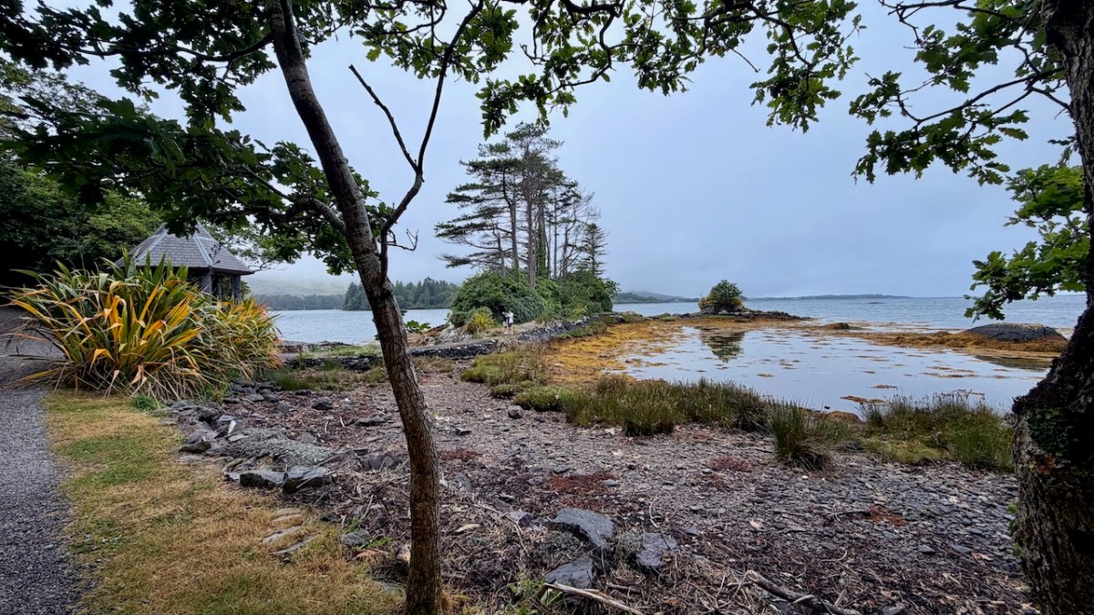
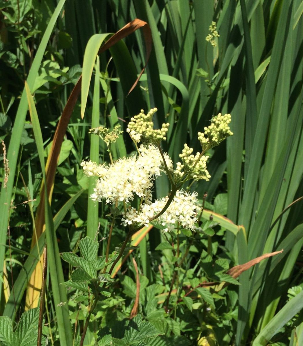
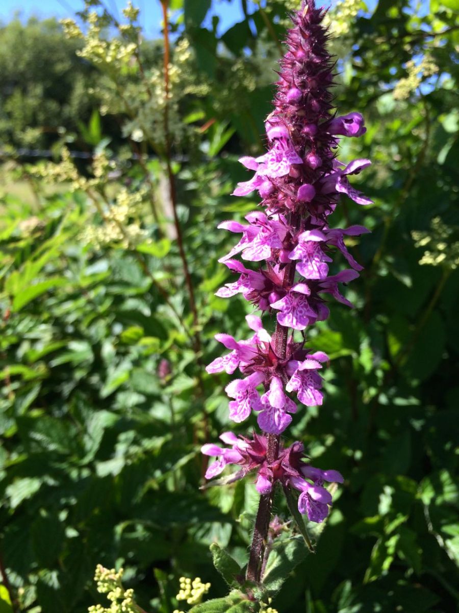
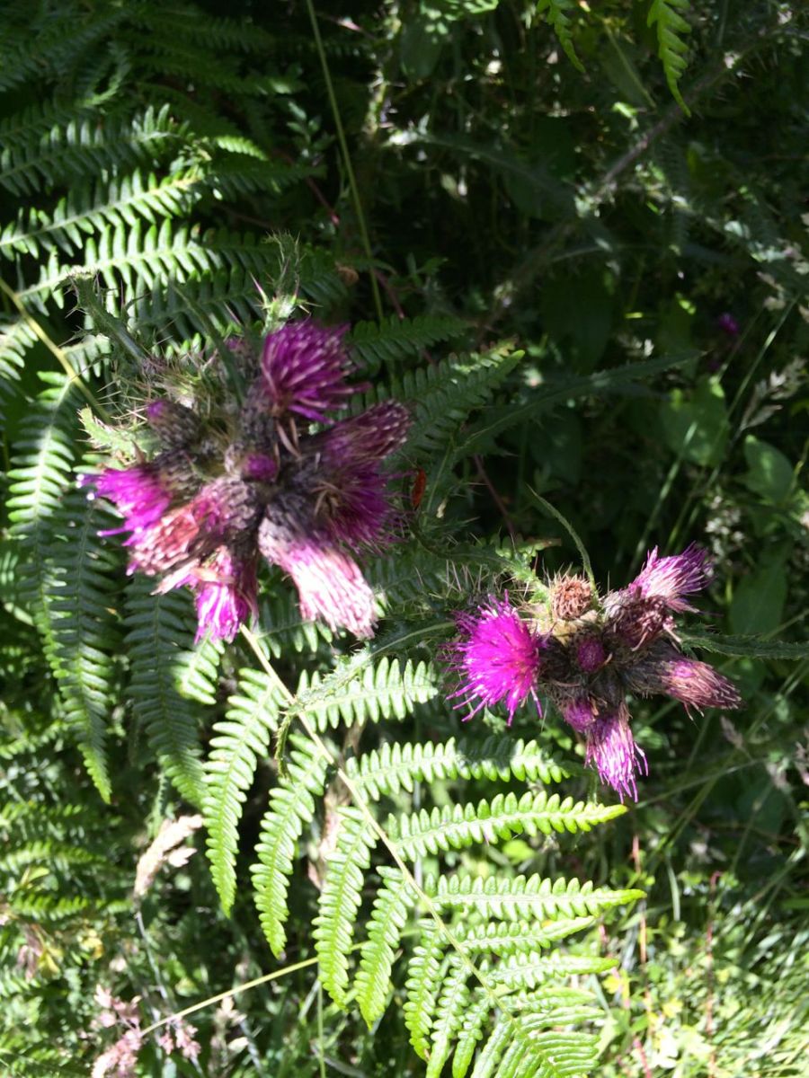
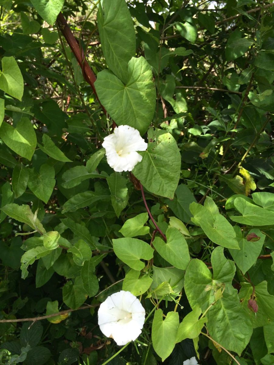
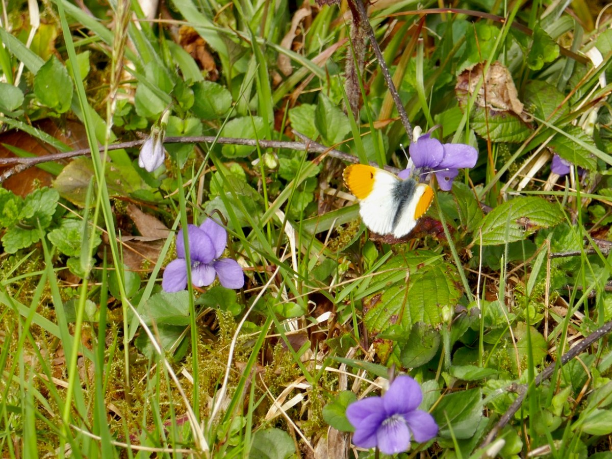
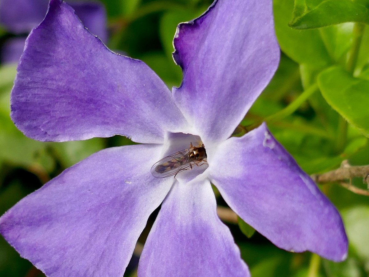
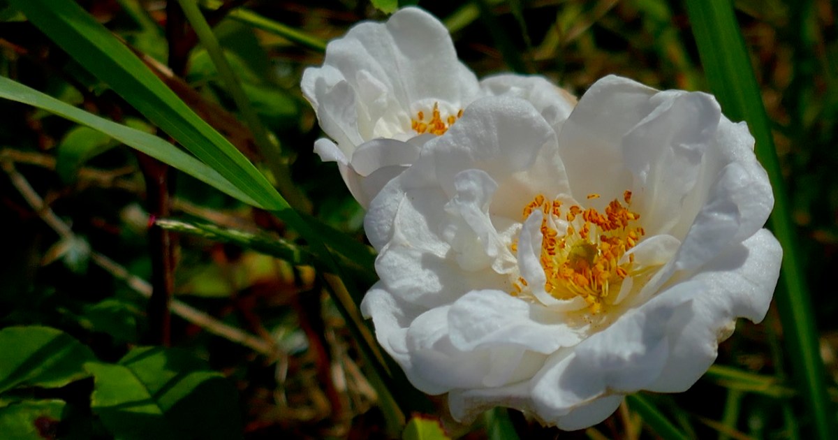
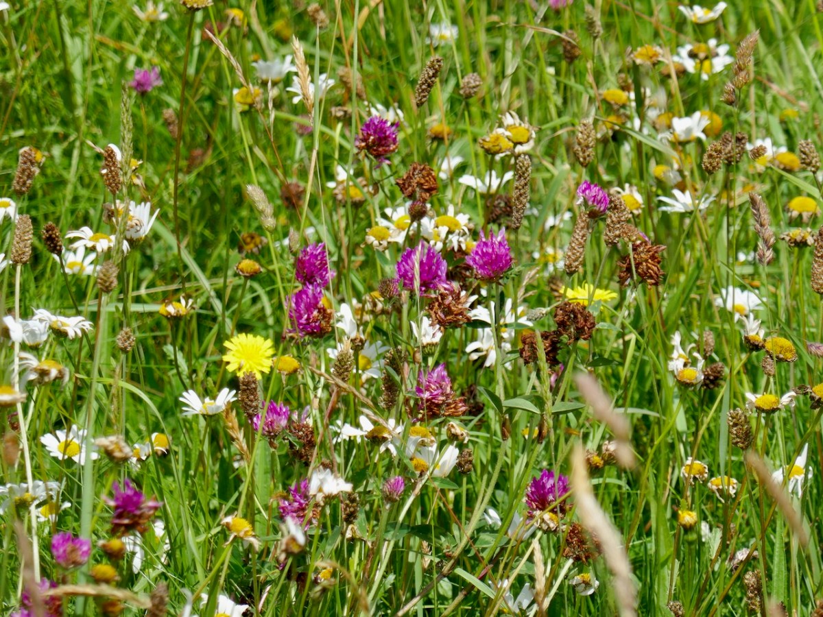
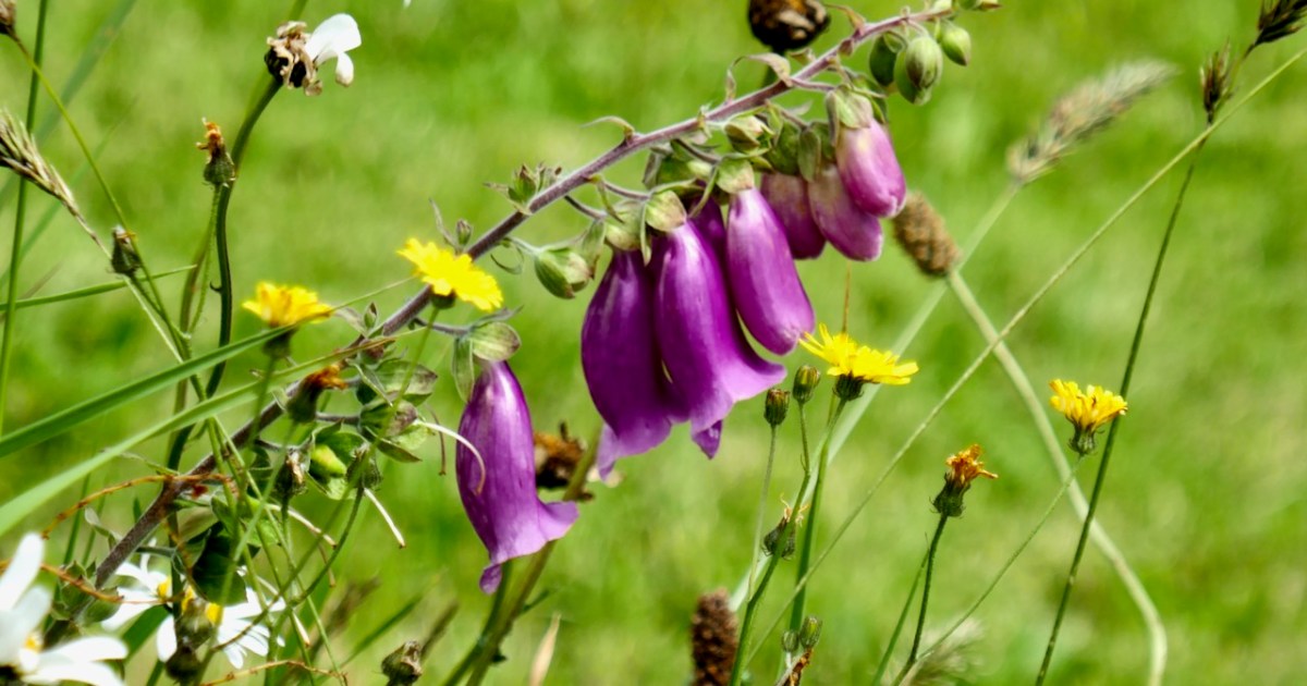
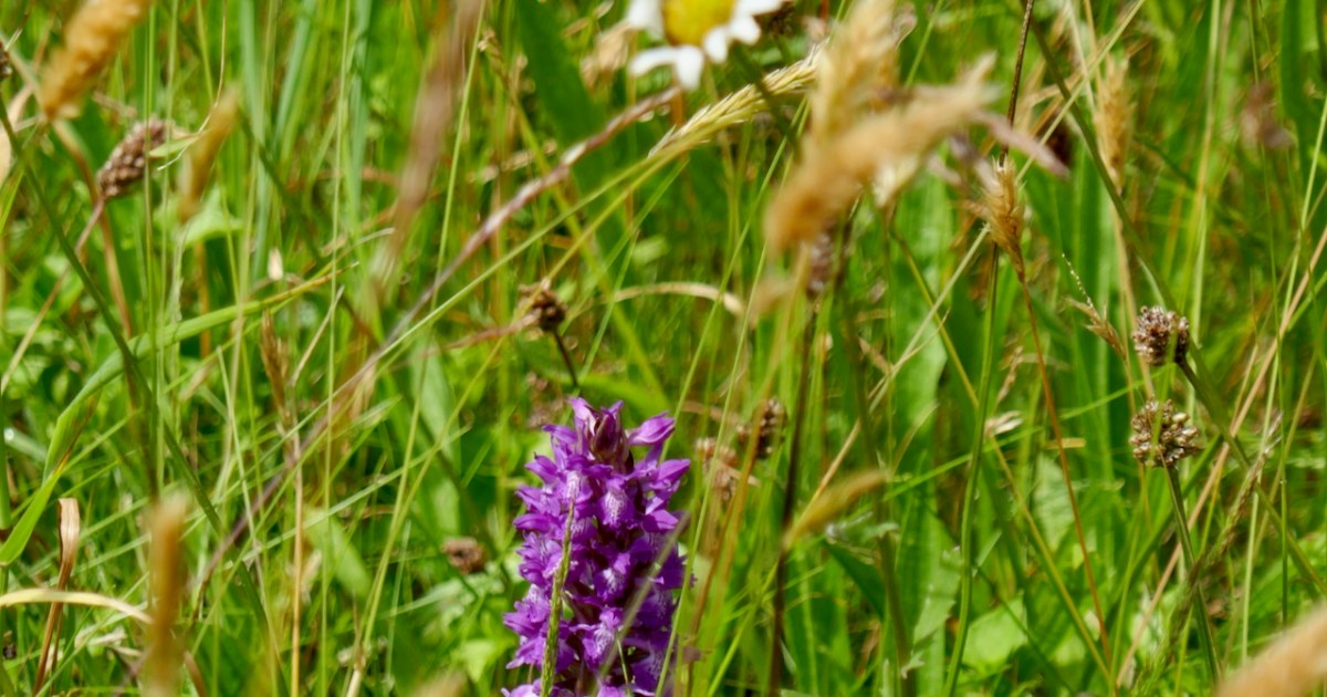
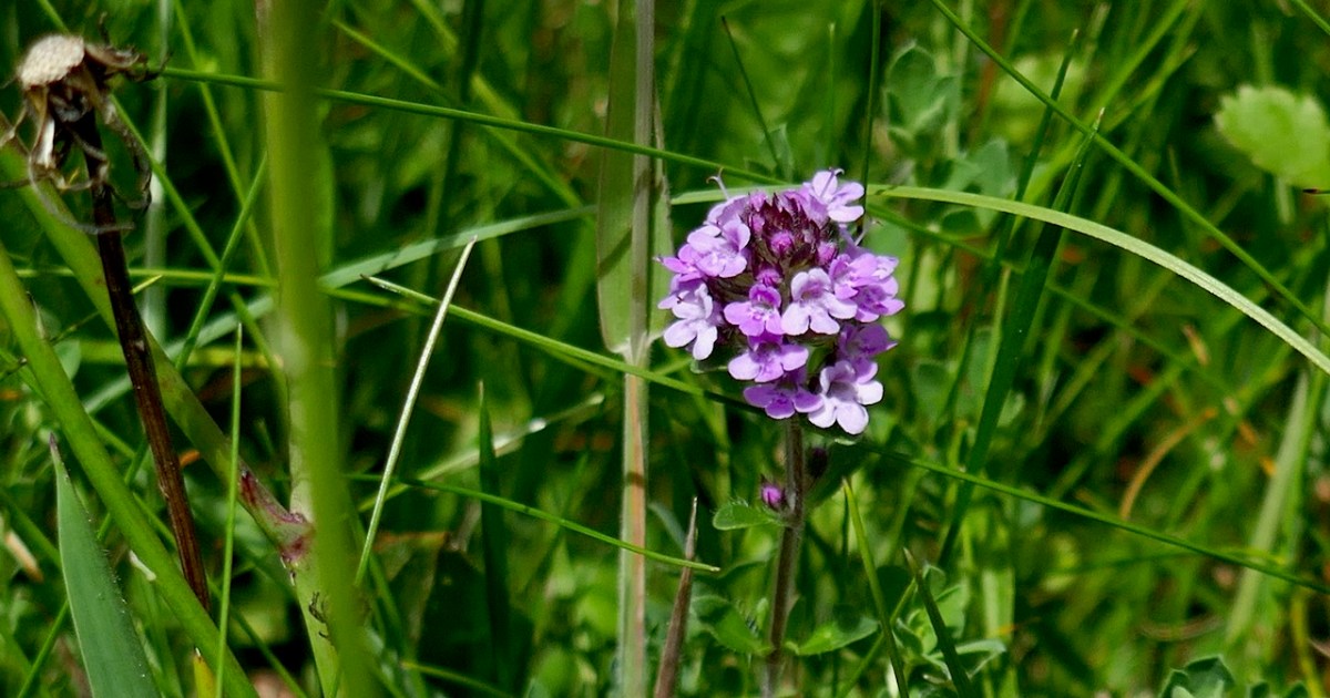
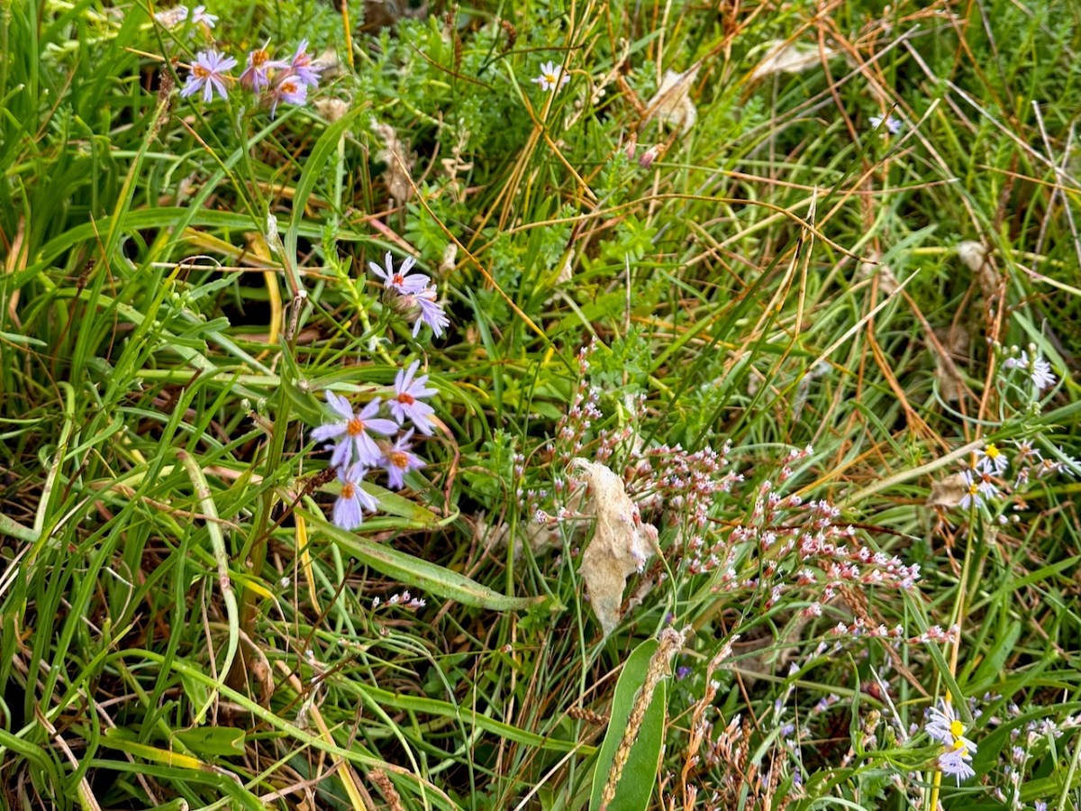
And yet, and yet . . . To walk among these towering trees, every now and then coming upon the sea lapping at the shore, with views across to the Kerry mountains offers a sort of transcendence. It reminds you of your place in the world, and that we are as humans driven to ‘improve’ our own part of it. It’s the kind of setting where you want to settle down with your back to one of those giant cedars, gaze across the water, and write poetry. And in among the foreign plants native ferns and wildflowers are also flourishing, like the Sea Asters and Sea Lavender below. Whatever about my head, my walk through Derreen did my heart good.
It strikes me that both places are someone’s answer to what do we do with land we love, as it is now? Esk’s answer is restoration and participation; Derreen’s is curation and contemplation. I am definitely still unsettled, with my head and my heart jostling for my attention.
PS I am hoping for a response from my friend Paddy Tobin, An Irish Gardener. I KNOW he will have opinions about this piece.