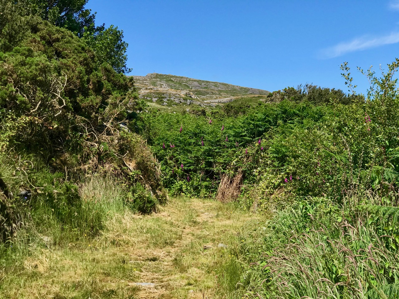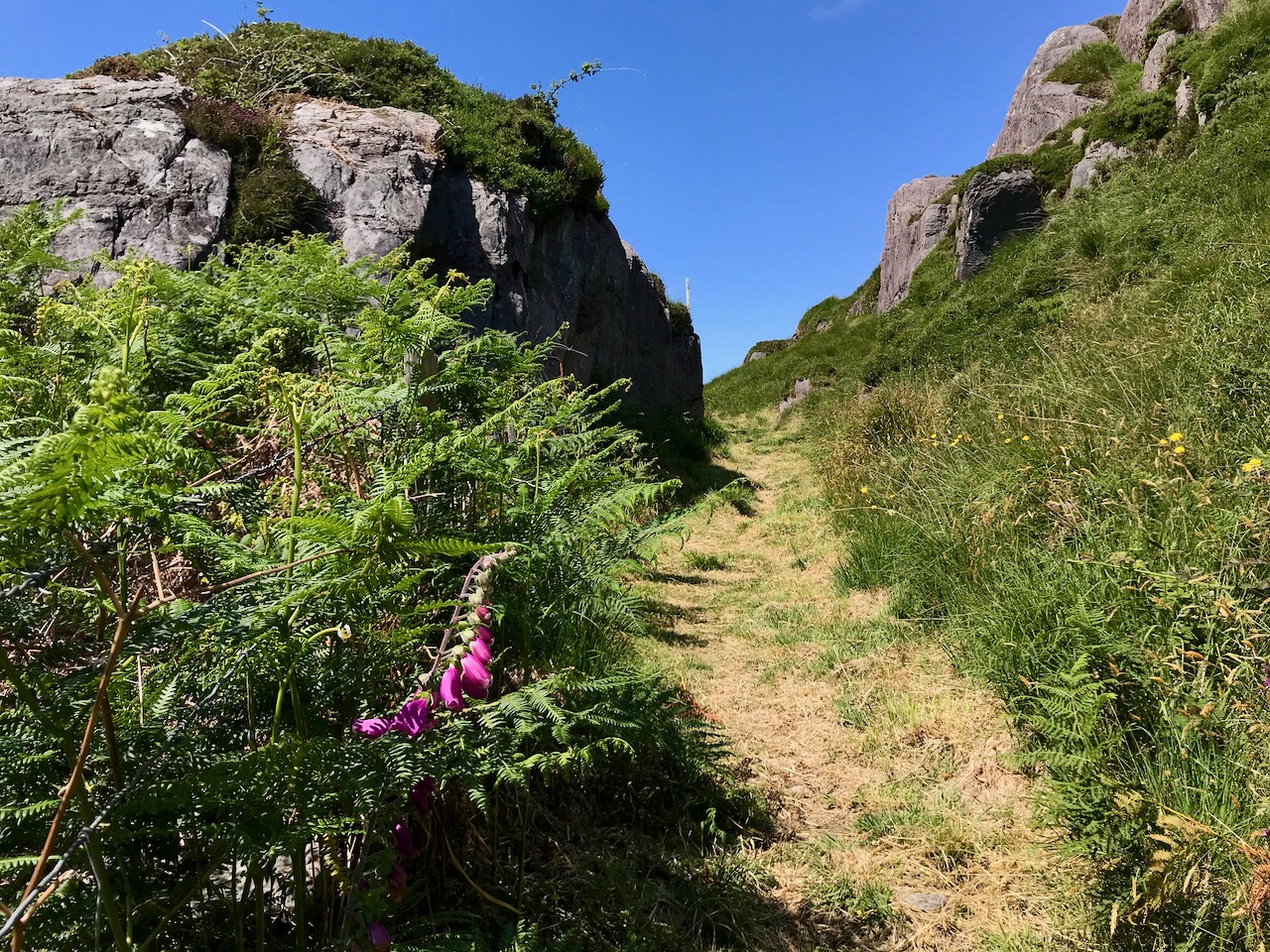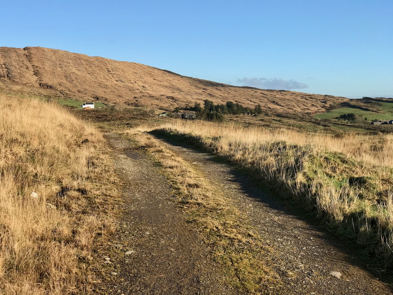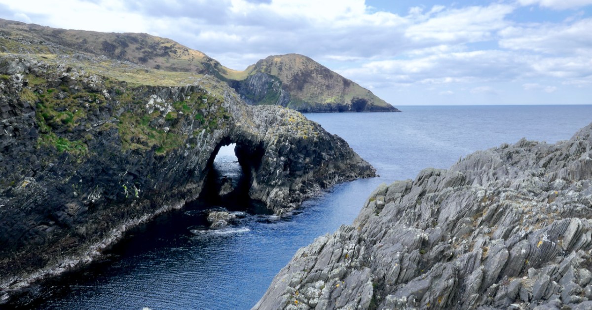
Drawn by the lure of sea-arches, we visited Lackavaun this week. Wild, remote and uninhabited now, but it wasn’t always so.
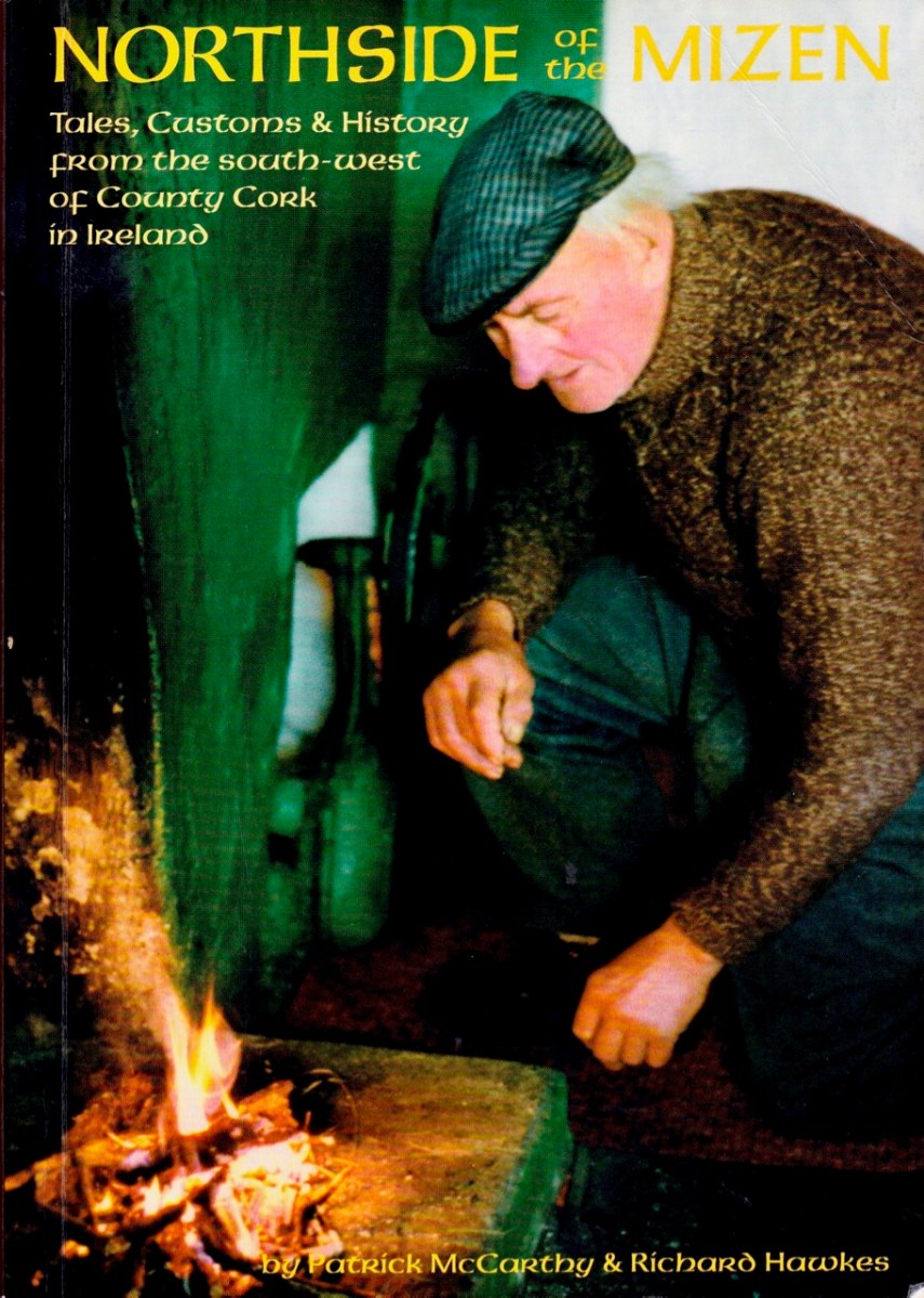
We’ve written before about Northside of the Mizen by Patrick McCarthy and Richard Hawkes, with illustrations by Thelma Ede. Published in 1999, it’s still available. I am drawing on this book for information about Lackavaun, with gratitude to the authors for all the work that went into this marvellous compendium of Tales, Customs and History.
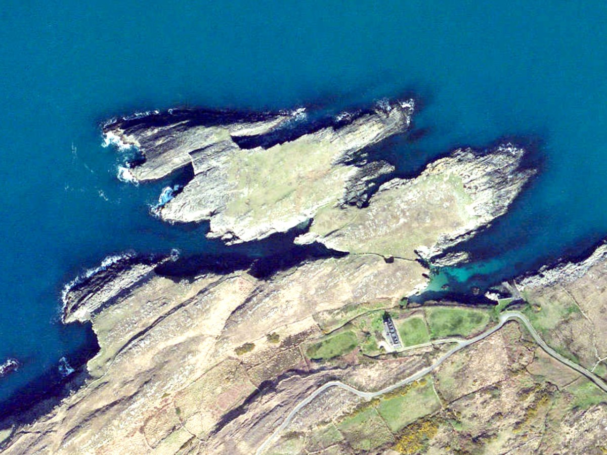
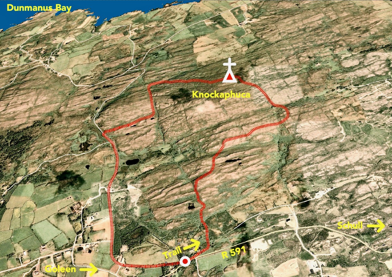
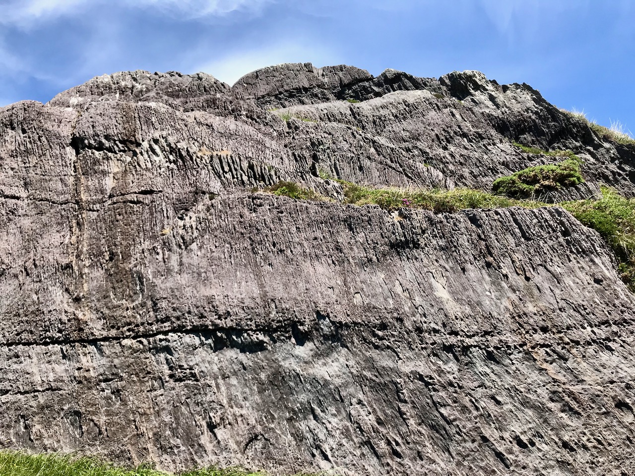
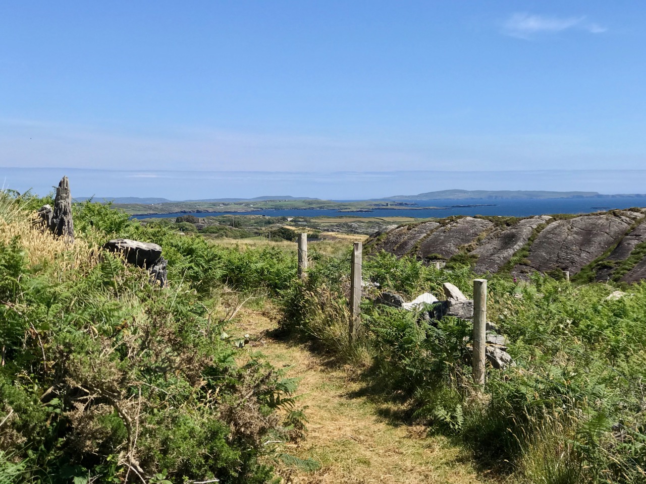
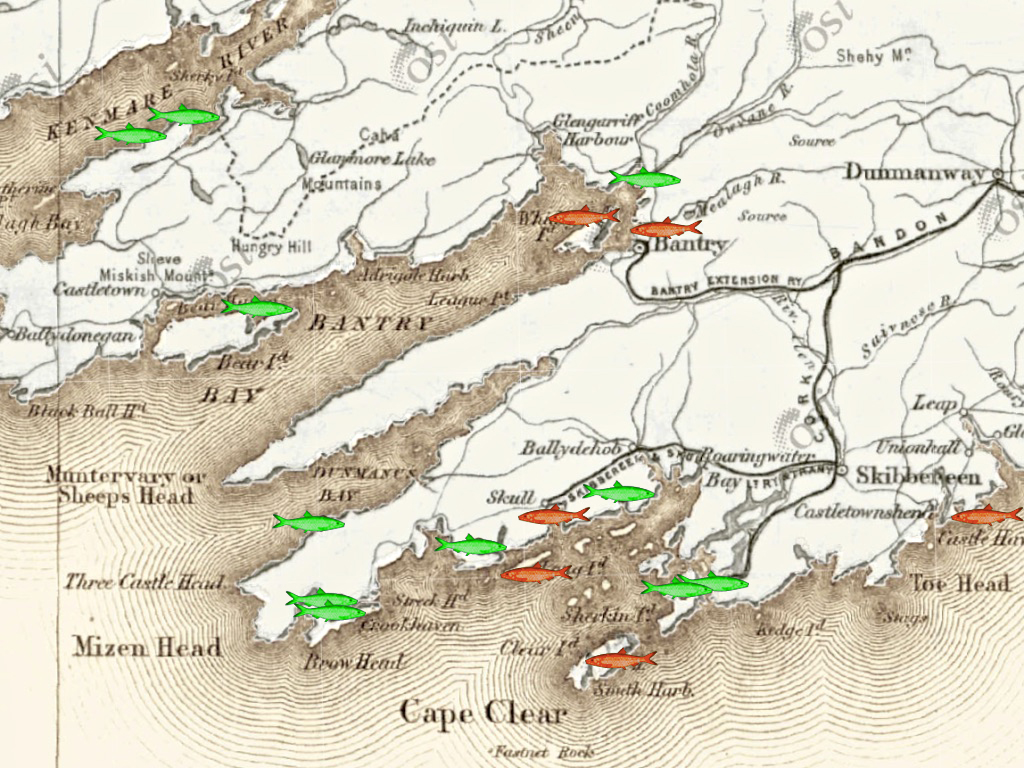
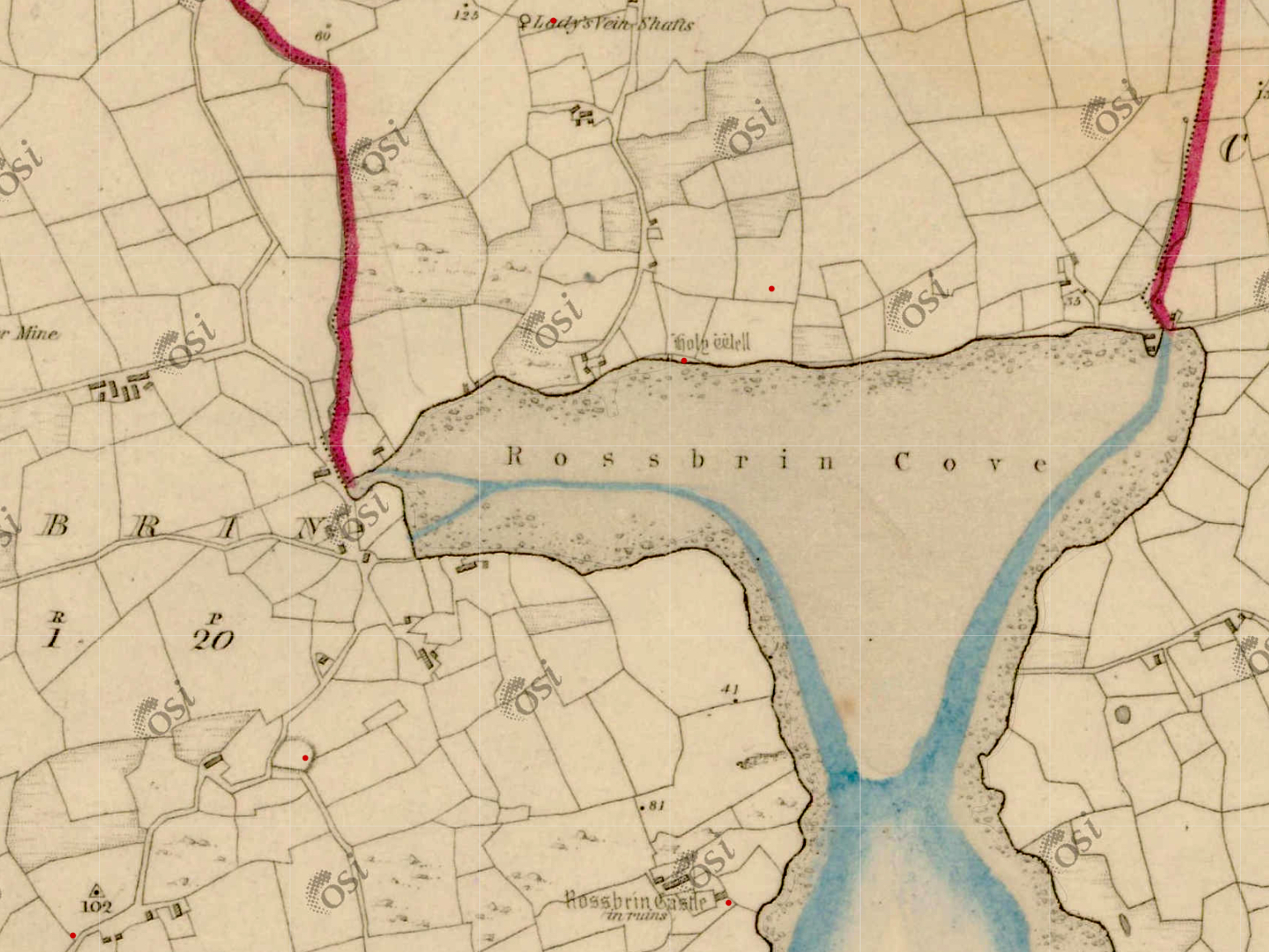
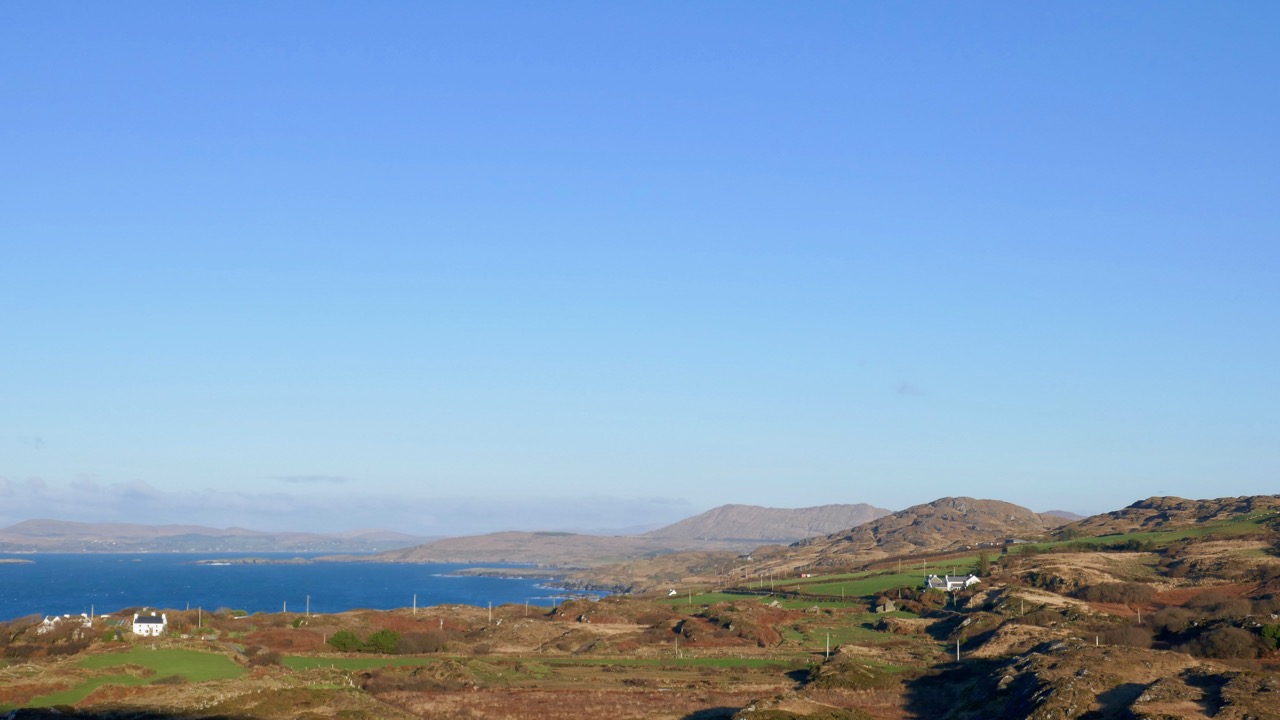
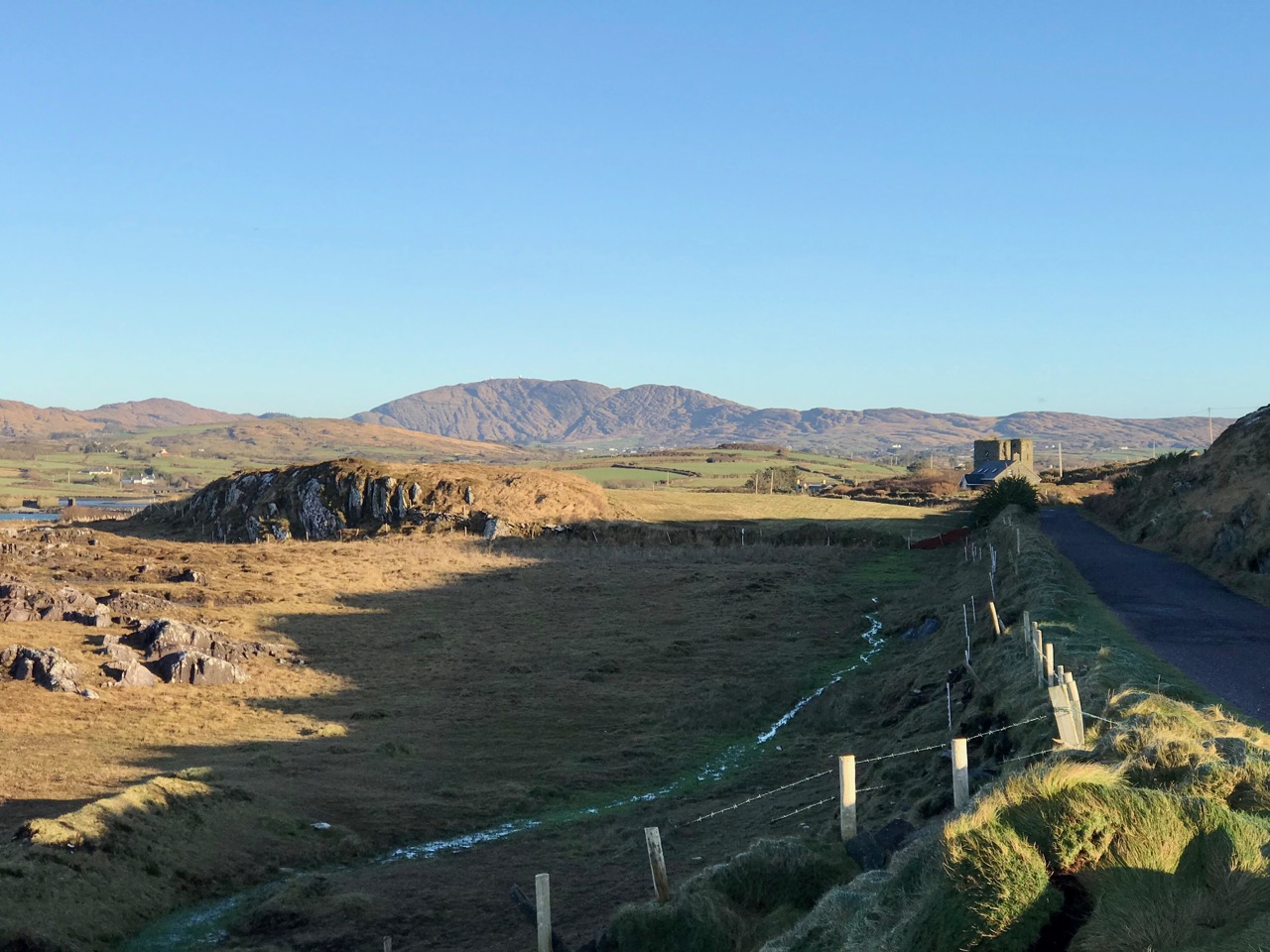
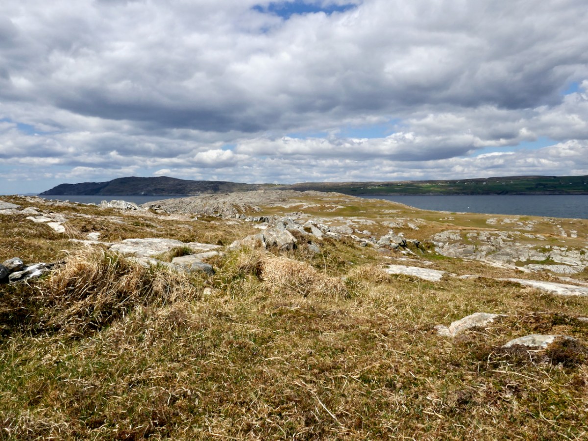
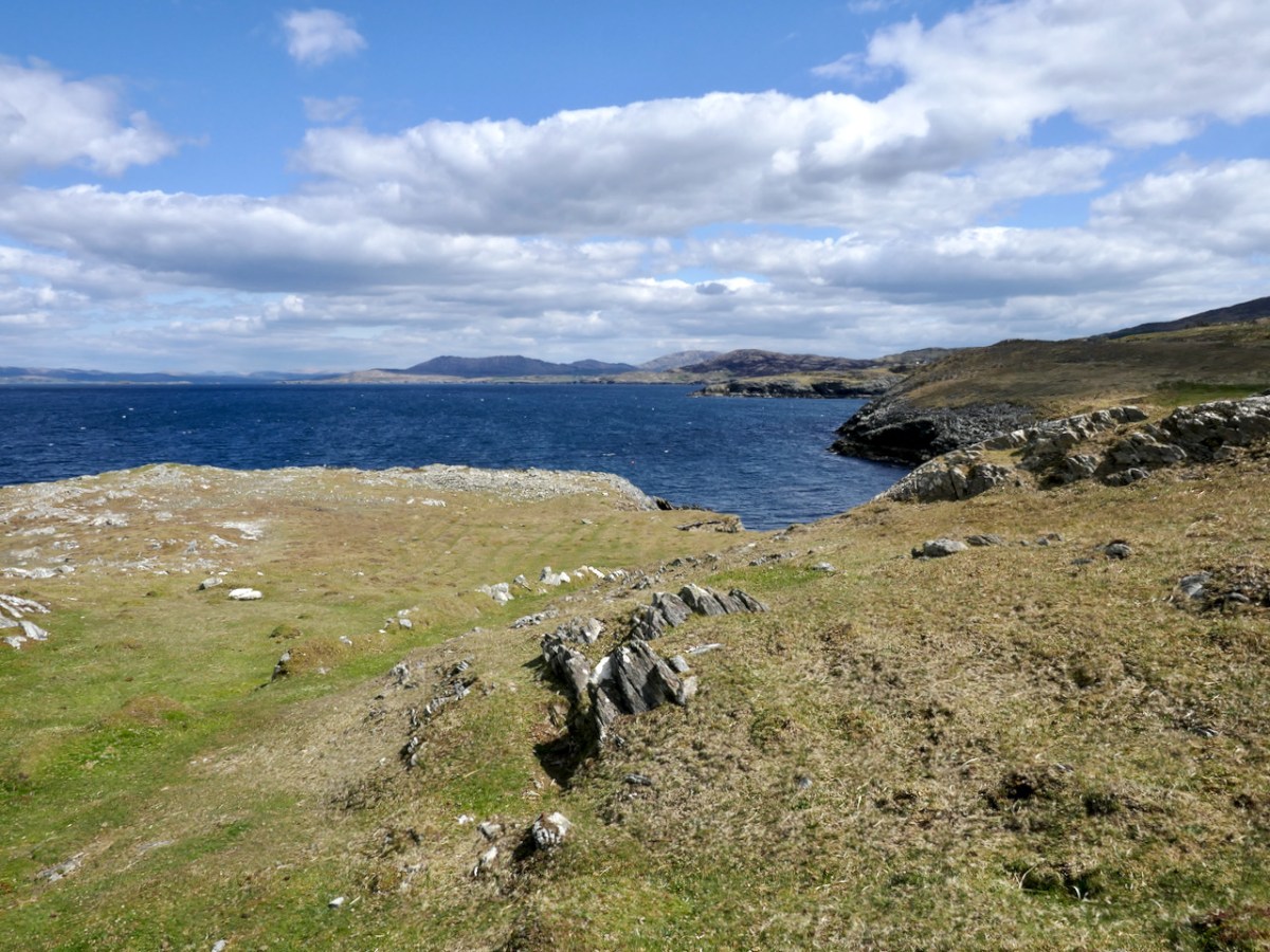
As you can see from the map, the main feature of Lackavain (leaca bhán – white slabs) is a rugged and bare peninsula. Not very promising, you might think. But see that sheltered spot on the south-eastern end – a grand place for a little quay. It was used for many purposes – fishing, of course, but also for getting to Bird Island. And even though there are no houses on the peninsula now, and none on the historic maps, we came across evidence of cultivation, in the form of potato ridges.
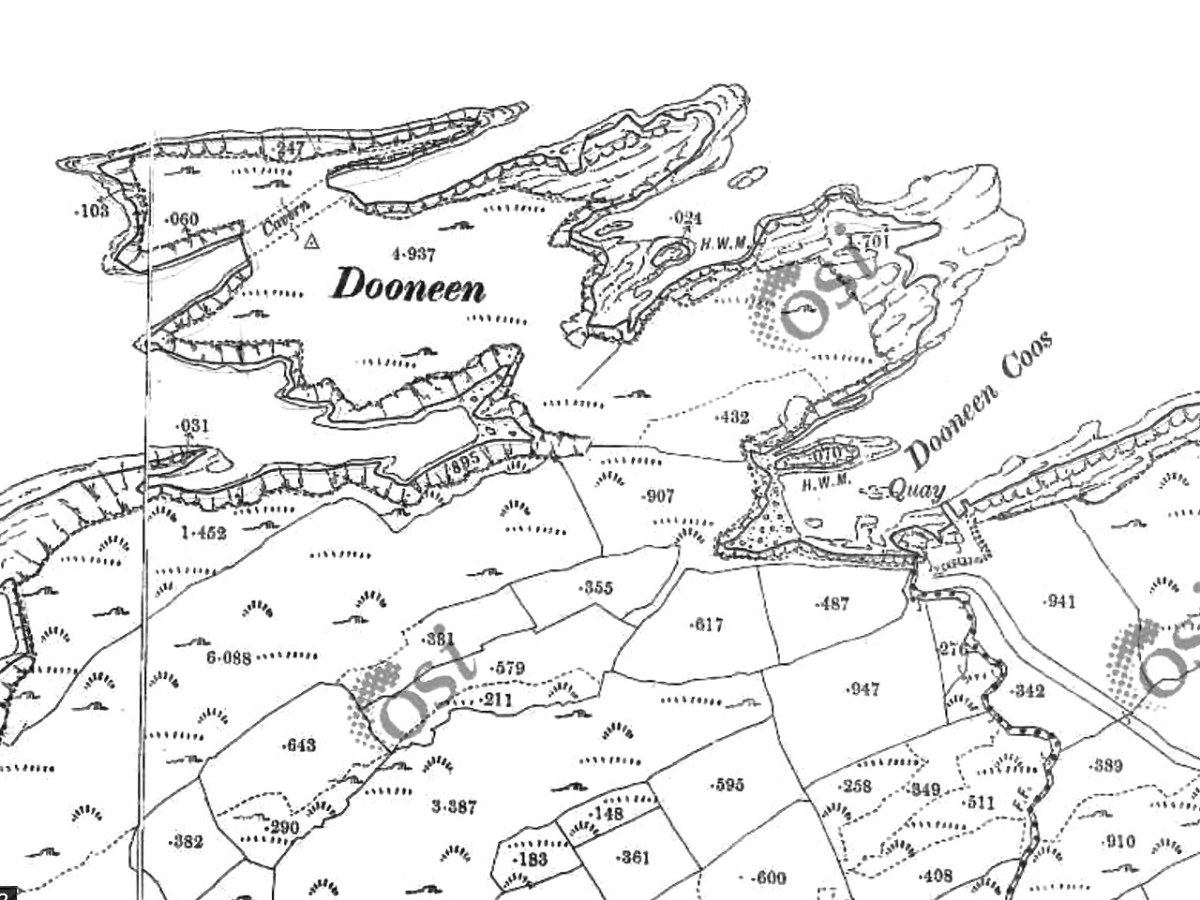
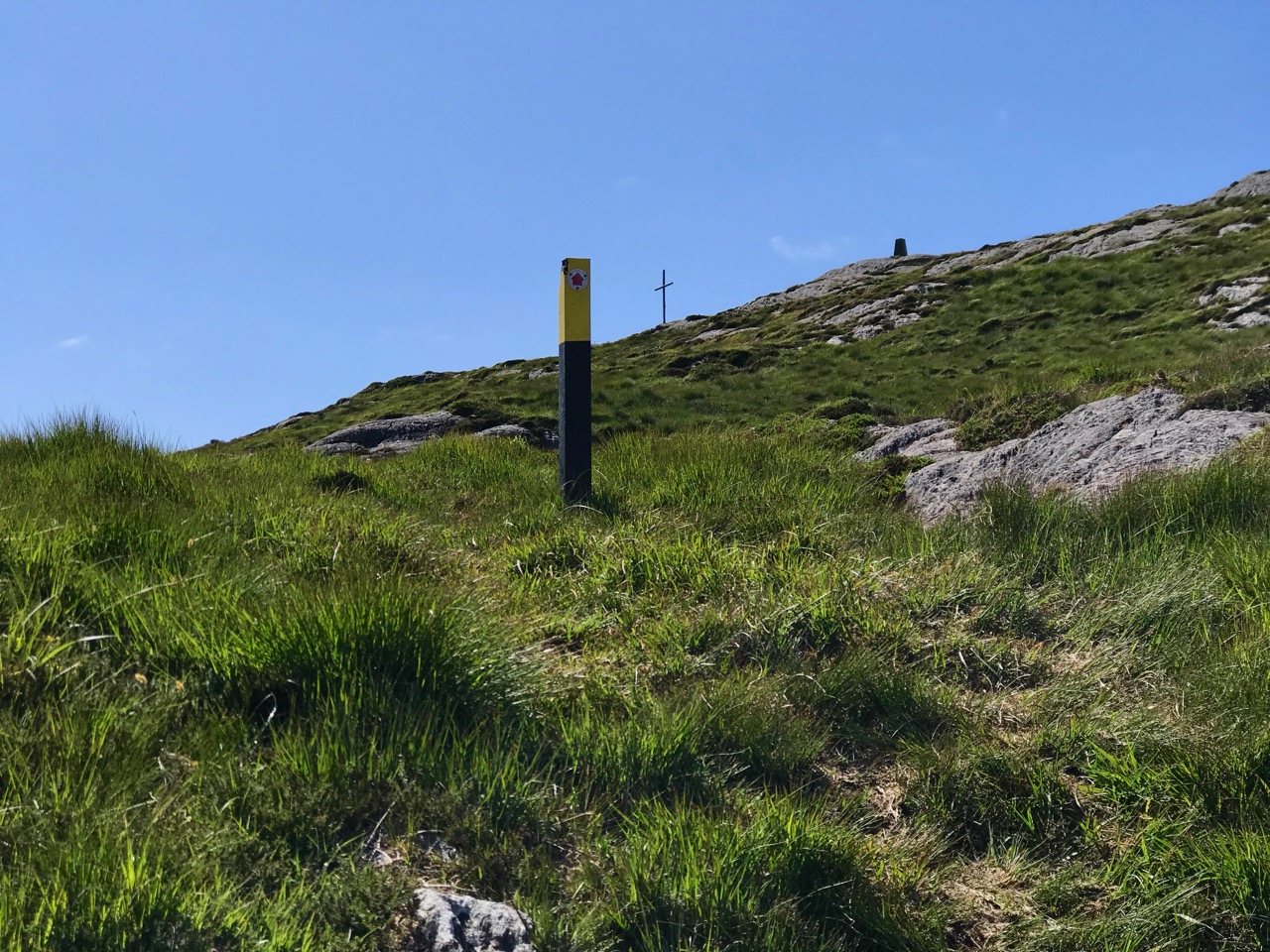
The peninsula we explored, with good friends Con and Una, was traditionally known as the Meallán (pronounced mal – awn, meaning a small knoll). It is also labelled Dooneen (Little Fort) on the historic 25inch map, and the harbour Dooneen Coos. This is rendered as Doonleen on the Historic 6inch map, which looks like it might be a misprint, since there isn’t a sensible translation. Northside doesn’t use either of those names.
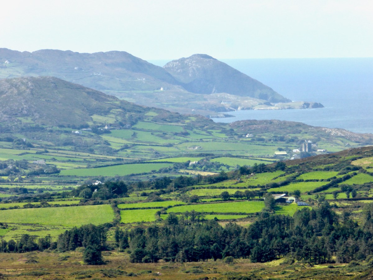
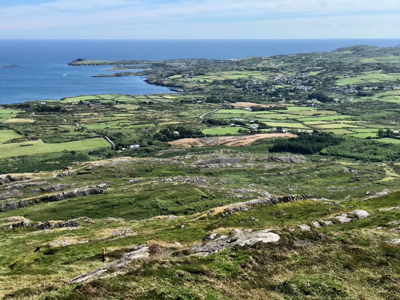
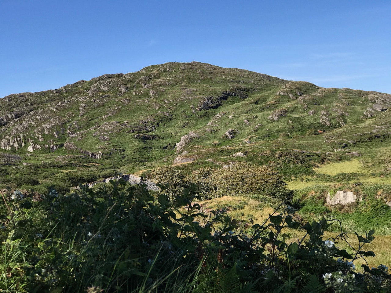
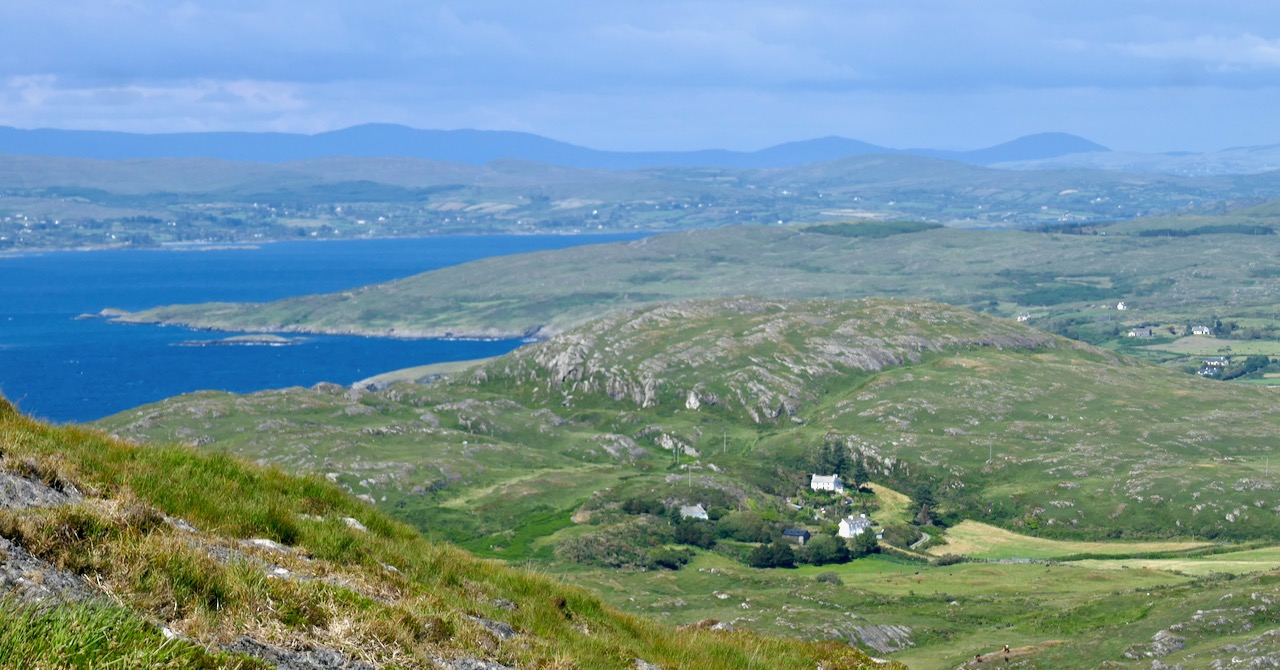
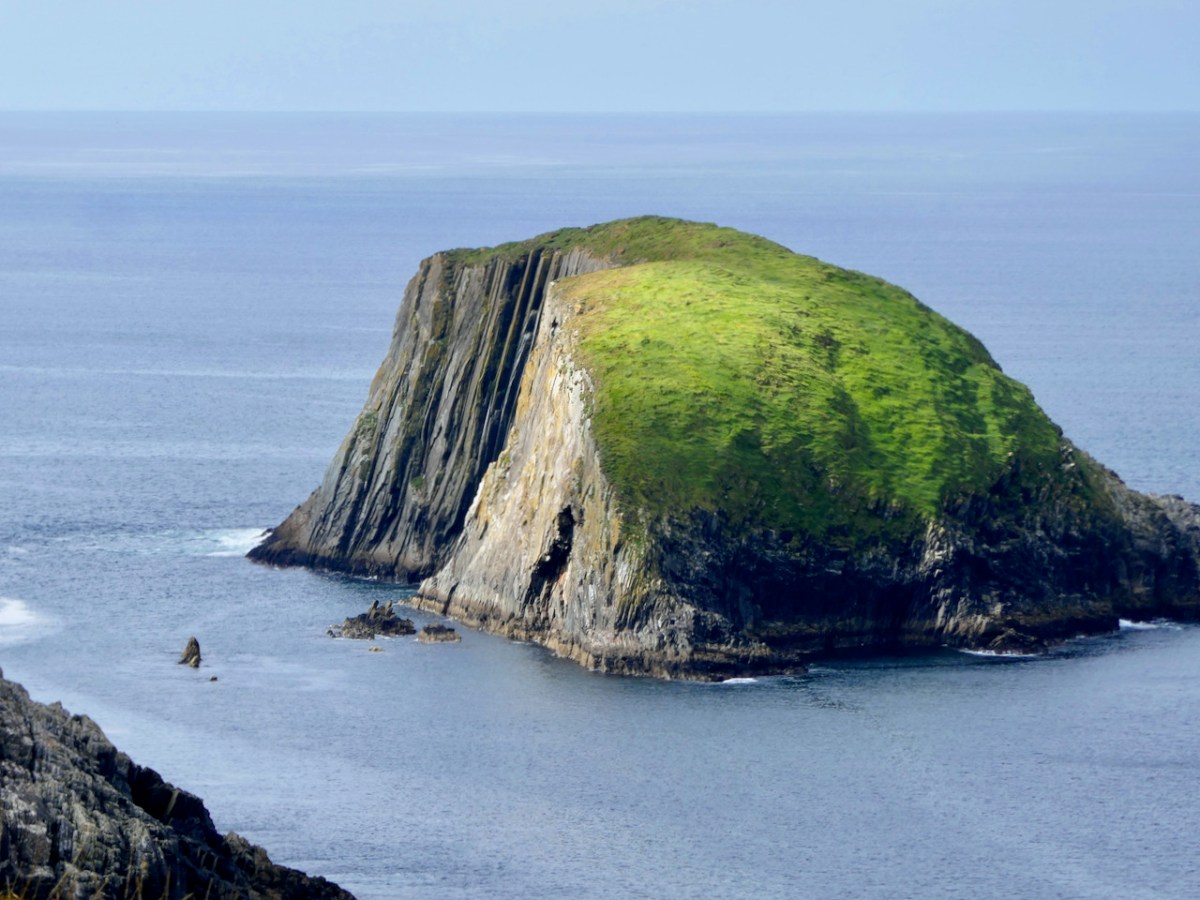
The photograph above was taken from Mount Gabriel. The peninsula we are visiting, The Meallán, in the townland of Lackavaun, is the land that projects into the sea at the top right. Can you make out the sea-arch?
The Northside of the Mizen says of this place:
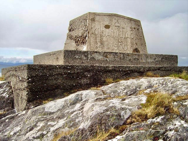
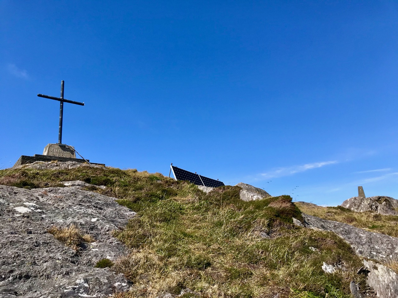
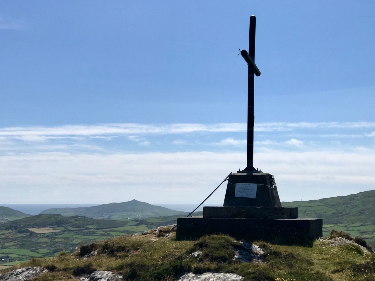
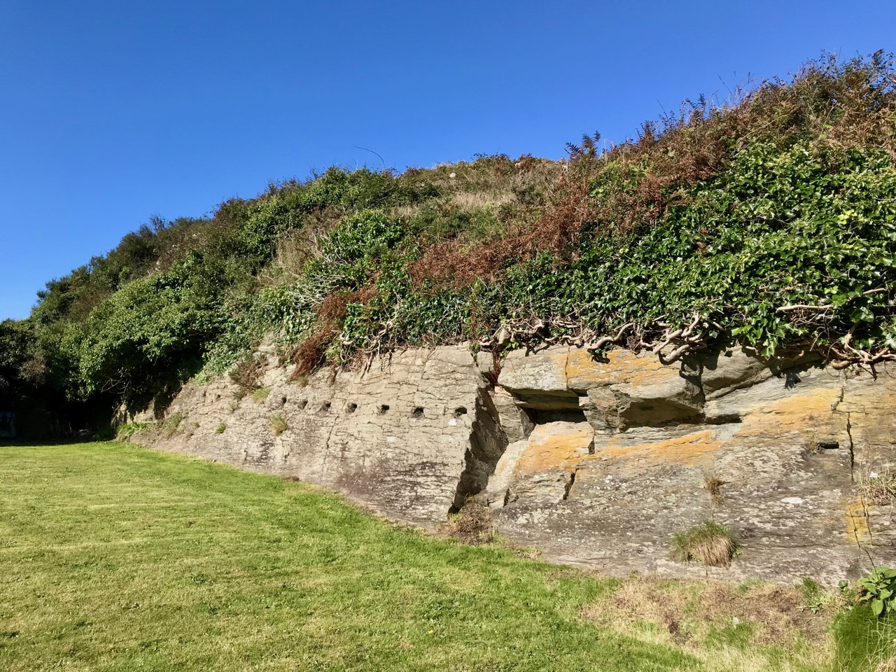
The first settlers may well have been those from the Iron Age who developed the dun (promonotory fort) at Meallán in Lacakavun, the remains of which still exist. The name Dunkelly (Ceallach’s Fortress) may have derived from this fort and was the name for the whole of the Northside area in the past.
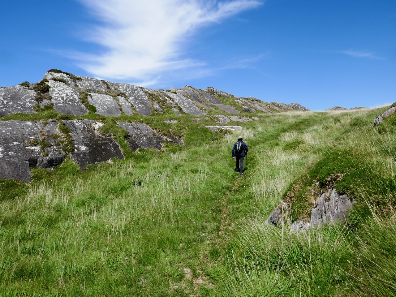
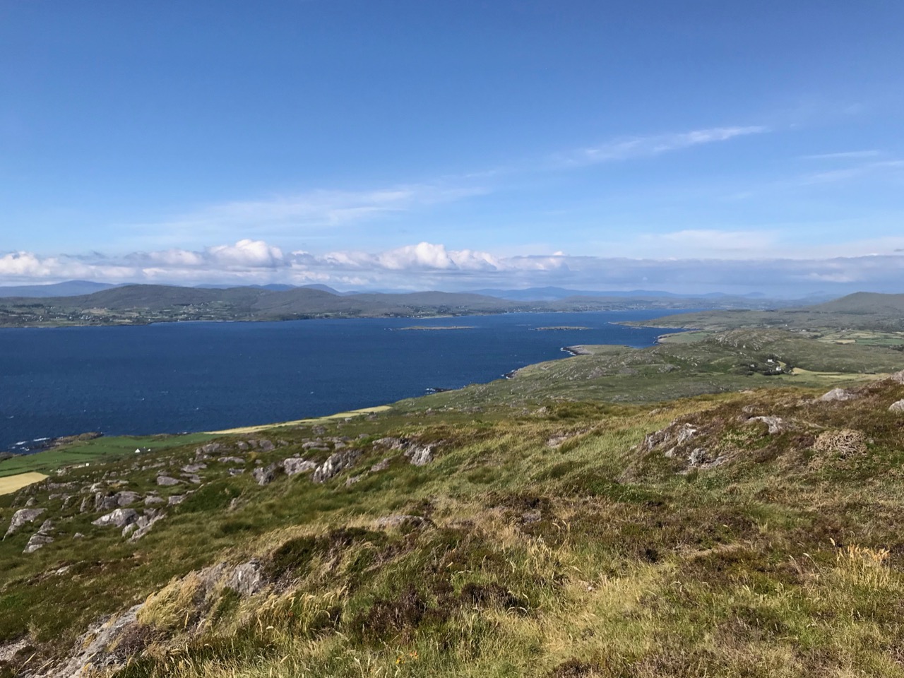
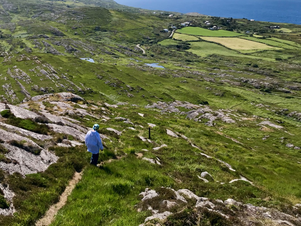
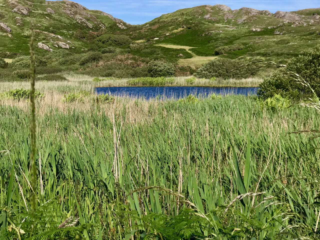
Looking out in to the Meallán – the knoll is straight ahead
This is intriguing! The name Dunkelly is nowadays reserved for two townlands to the east of Lackavaun. The Cailleach (a more usual spelling, pronounced a bit like Kye-lock) is of course the Old Woman, the Hag, the wise woman prominent in Irish folklore. This area, in fact the whole of the Mizen, is the ancestral territory of the O’Mahonys. Another family associated with this area is the Canty clan. Robert has written about Canty the Pirate and we did visit his Cove and his Pirate Steps on this occasion.
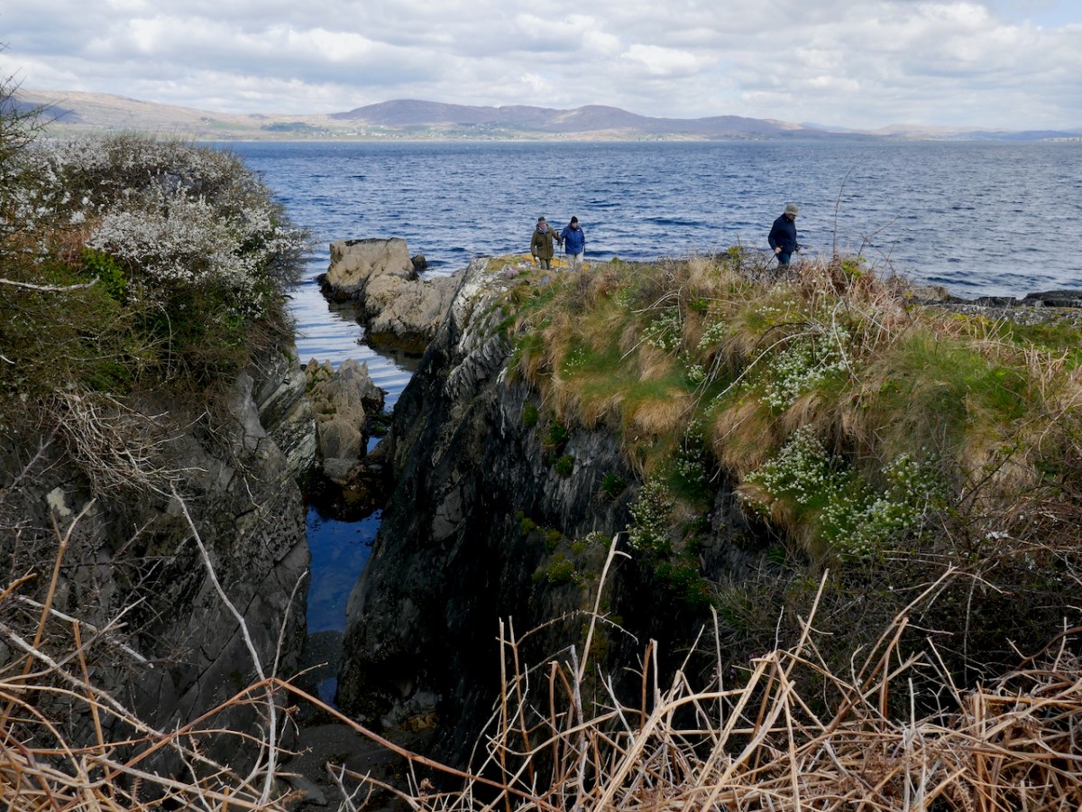
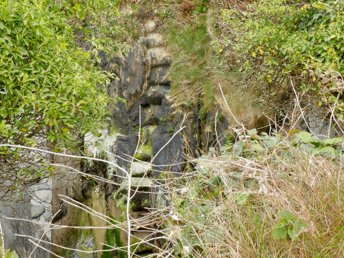
Finding the pirate steps again after a few years took a bit of searching and wandering around headlands but here they are, in all their slippery treacherous steepness
But Northside of the Mizen has another take on the Cantys:
In the early seventeenth century the Northside was recorded as being Dunkelly (Dunnekilly) and owned by the bardic O’Canty family, who were possibly bards to the O’Mahonys of Dunmanus Castle. The O’Canty’s took part in a rebellion in 1641, when they attacked Crookhaven and as a result their land was confiscated and granted to an Englishman, Sir William Petty.
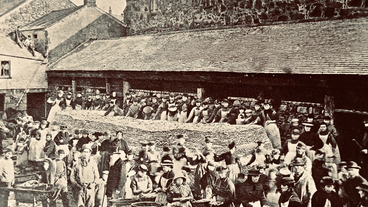
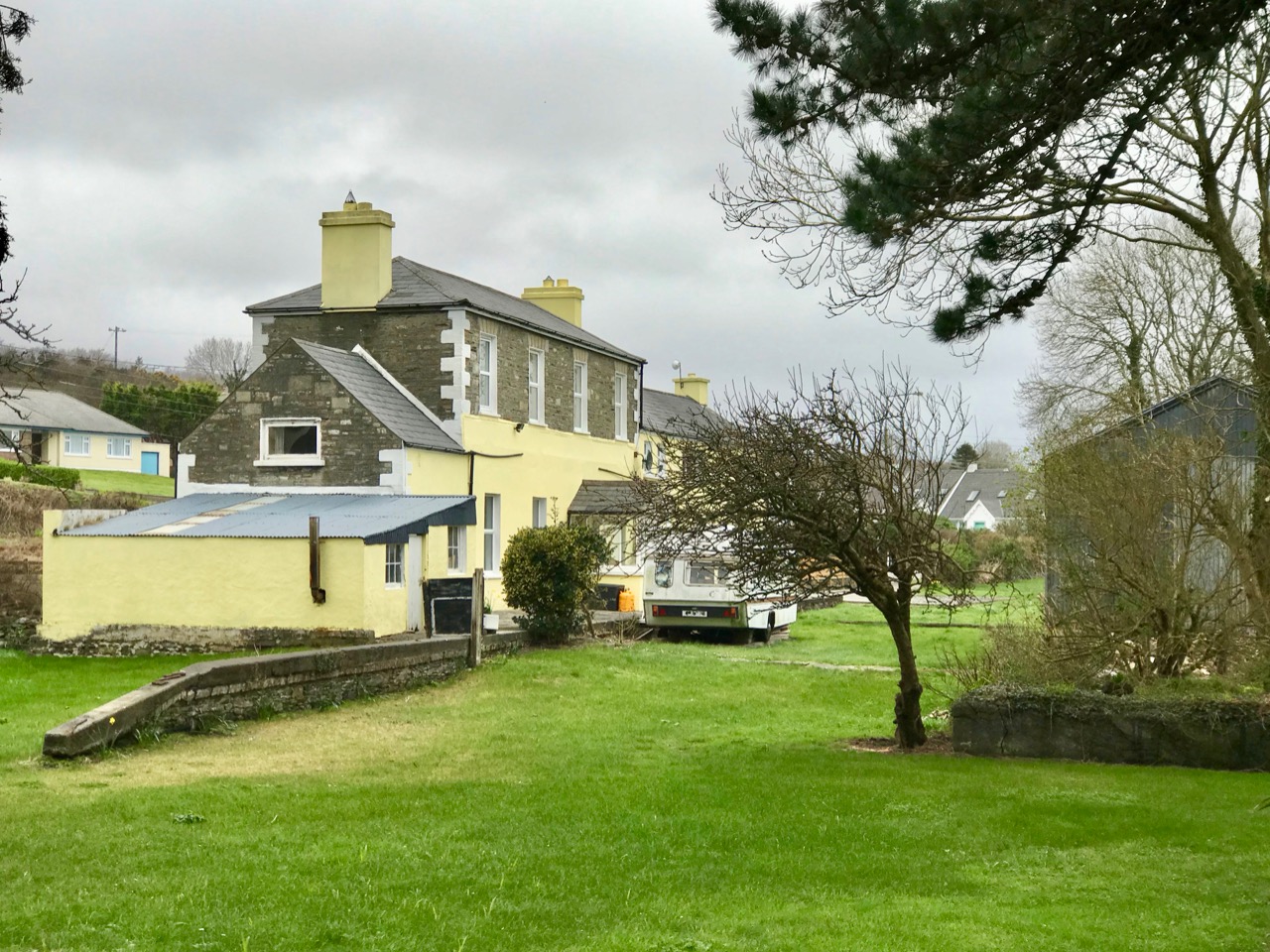
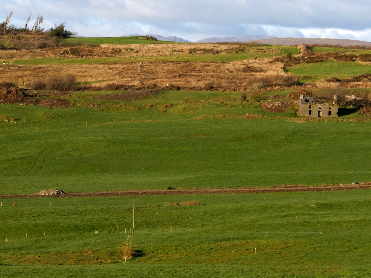
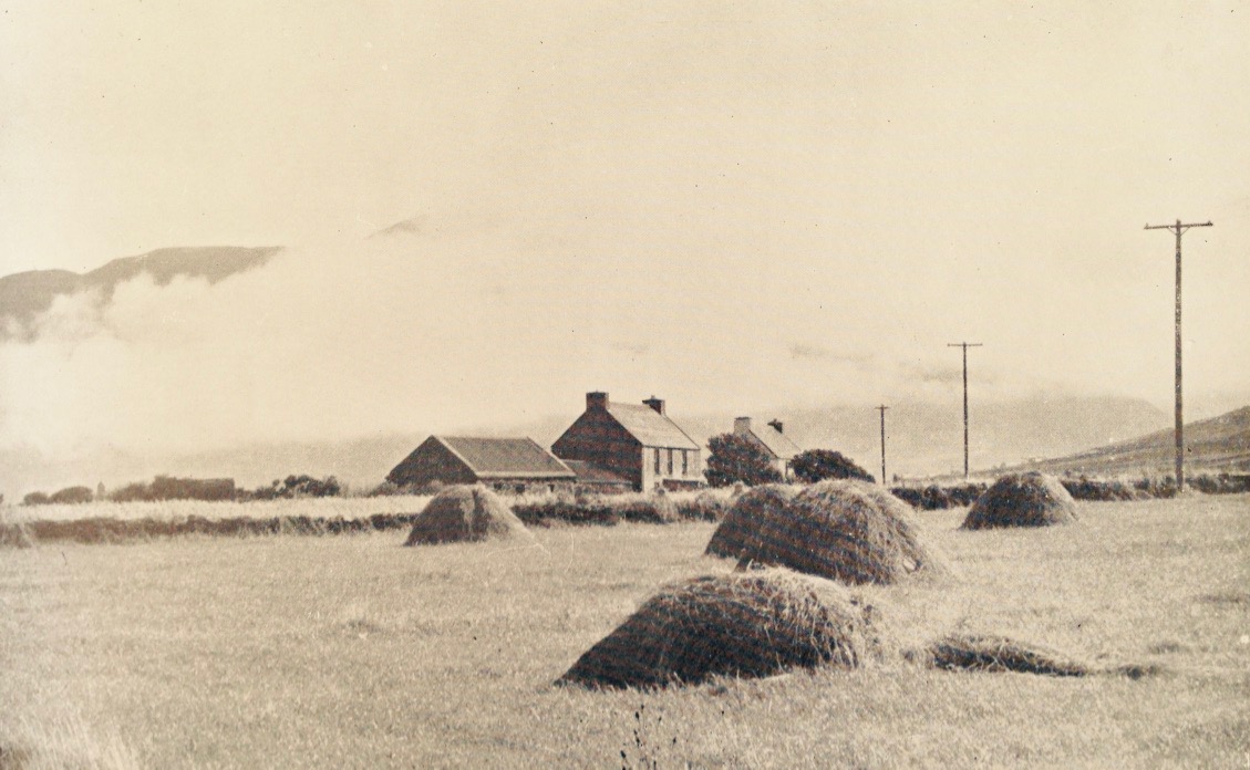
Northside goes on to enumerate the population of the area – 11 in 1659, 635 in 1841, shrinking again to 291 people after the famine. By 1911 it was down to 169 souls. Very few people live there now – Northside poignantly estimates it at about the same number as three centuries ago – that is, about 11 people. Some of the houses are holiday homes and so the population rises somewhat over the summer.
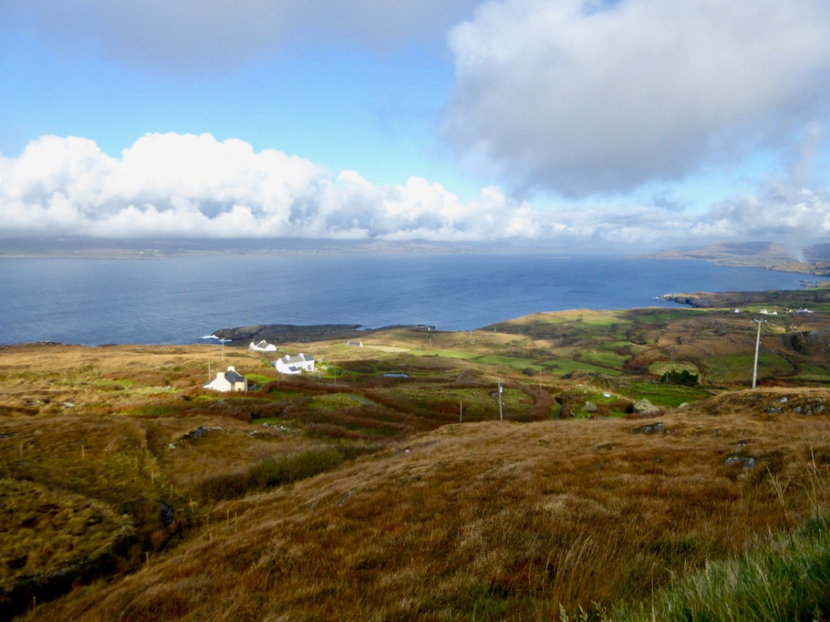
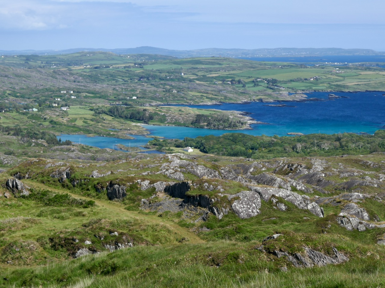
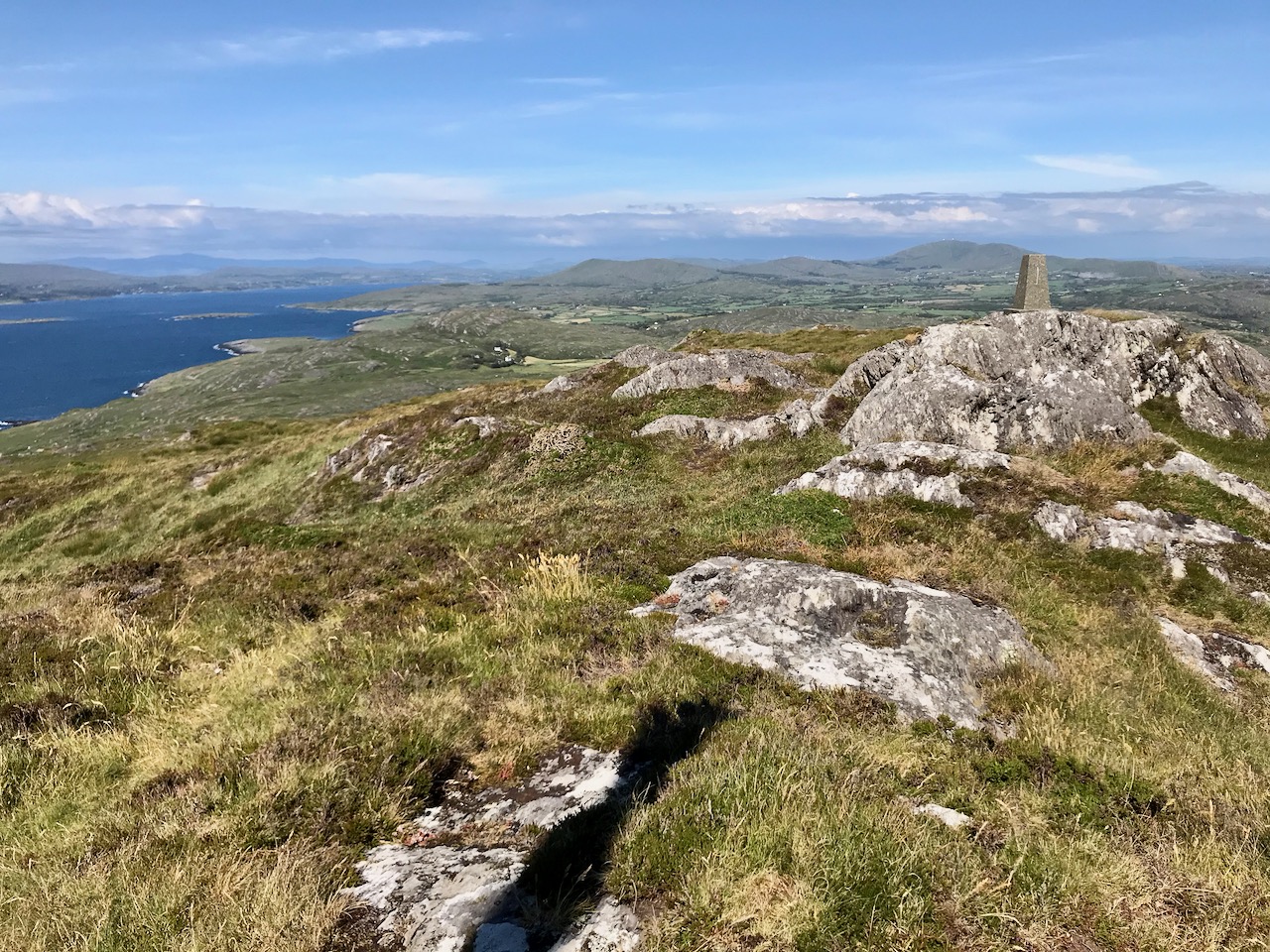
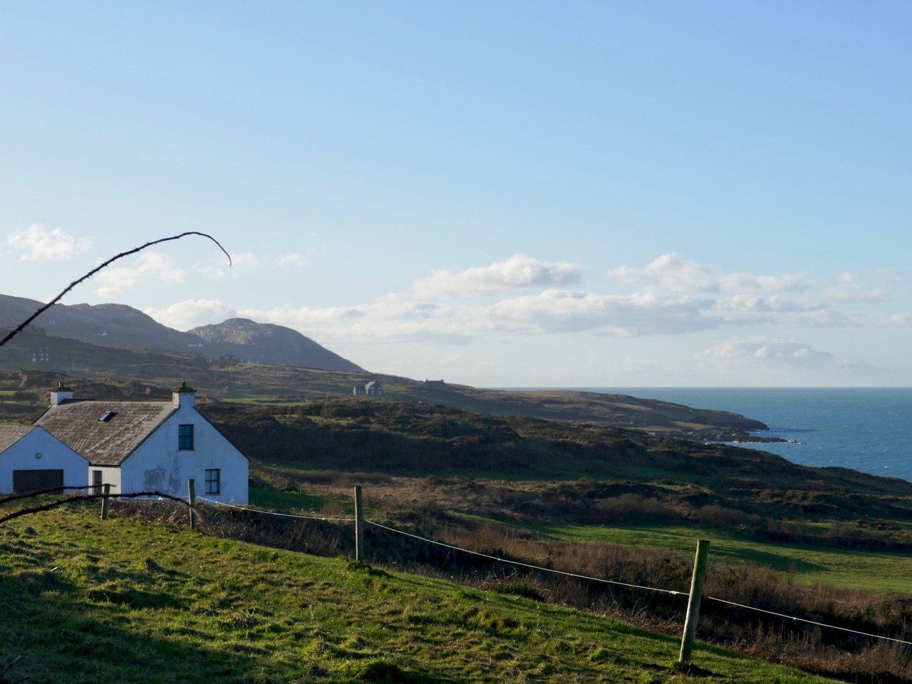
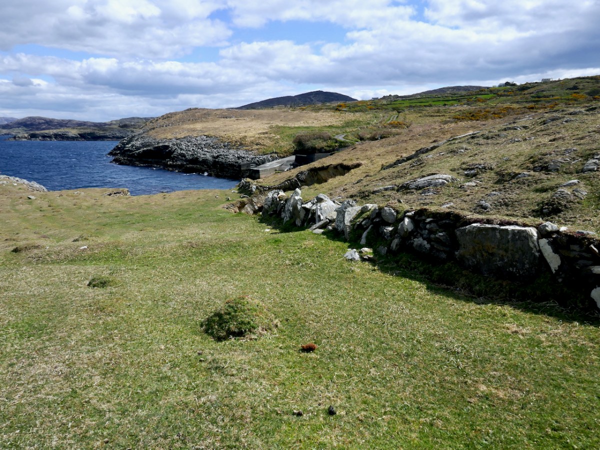
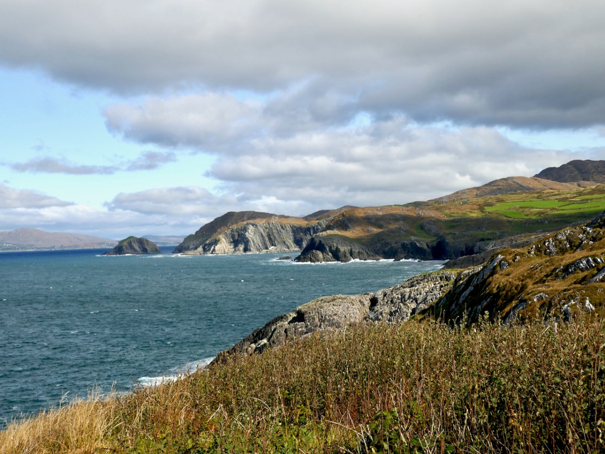
Looking down on Lackavaun from the high ground to the south, it is obvious how depopulated it is now
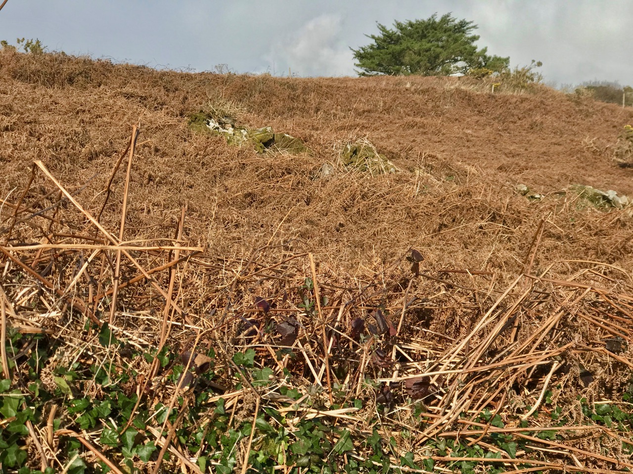
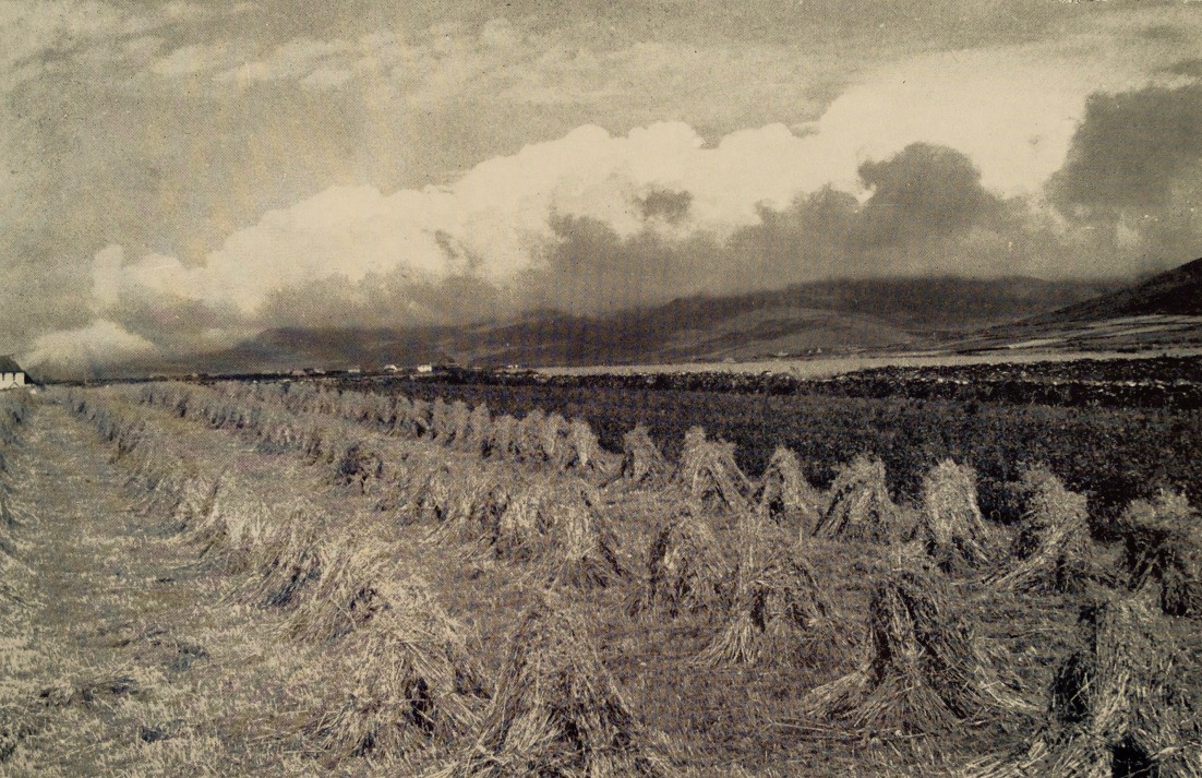
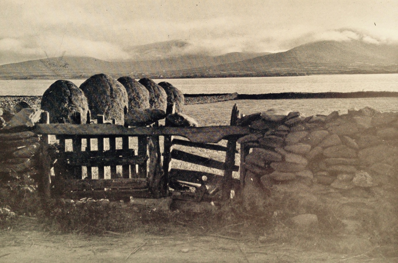
As we know, potatoes were the staple food of most people before the Famine, and this continued afterwards, when the crops recovered. We came across clear evidence of this on the Meallán, in the form of long disused lazy beds, the traditional method for cultivating potatoes in the West of Ireland. It’s impossible to know how recently these beds might have been abandoned. They could be pre-Famine but are more likely to be more recent than that. None of the historic maps show any dwellings on the Meallán itself, so this was a patch to which people came specifically for this purpose, probably building up the soil over generations with sand and seaweed.
The parallel ridges are the tell-tale sign of former potato ridges, known as lazy beds even though they were labour-intensive
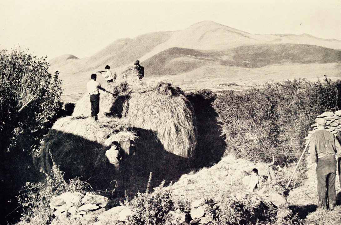
Northside has much to say about the practices, and the vocabulary, of potato growing, beginning in February with the Ridge of Graf.
In the first week of February you would begin on ‘the Ridge of Graf’ lazy bed system using a dry, sunny and sloping ground to give an early crop of potatoes. The ‘Ridge of Graf’ system, although hard work, would give you up to 3 times more crop than setting potato seed in a drill. A good supply of manure was used and you would use stable manure (horse or donkey) as it was said it had a better ‘heat to it’ then yard (cow) manure. The stable manure was spread on to the grass and the seed potato placed on top. This was then covered with the sods, cut with a grafán to open a trench on each side, of 18 – 20 inches. This gave you a ridge of about three feet. Soil from the trench was then put up on the ridge. This was called ‘the first earth’. The last shovel of earth from the trench was put up against the edge of the ridge, and with a good pat from the back of the shovel the grua (side of the ridge) was made.
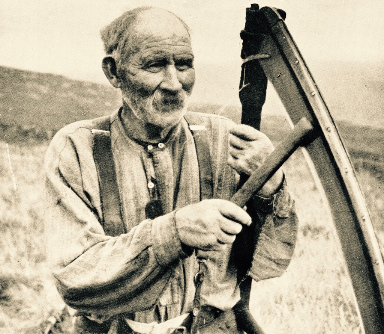
Each tool had its own name and function. The potato spade was inserted as deep as the bucán, or foot rest. The seed potatoes, or sprouters, were covered in earth using a farraheen to fill in the holes.
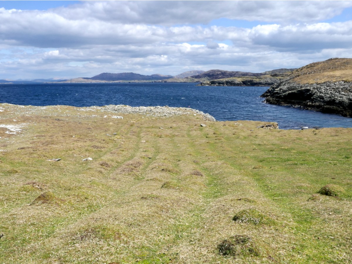
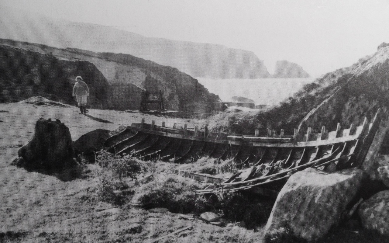
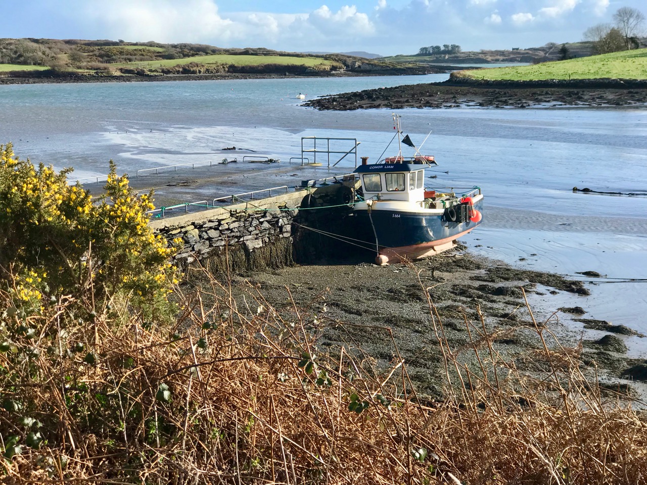
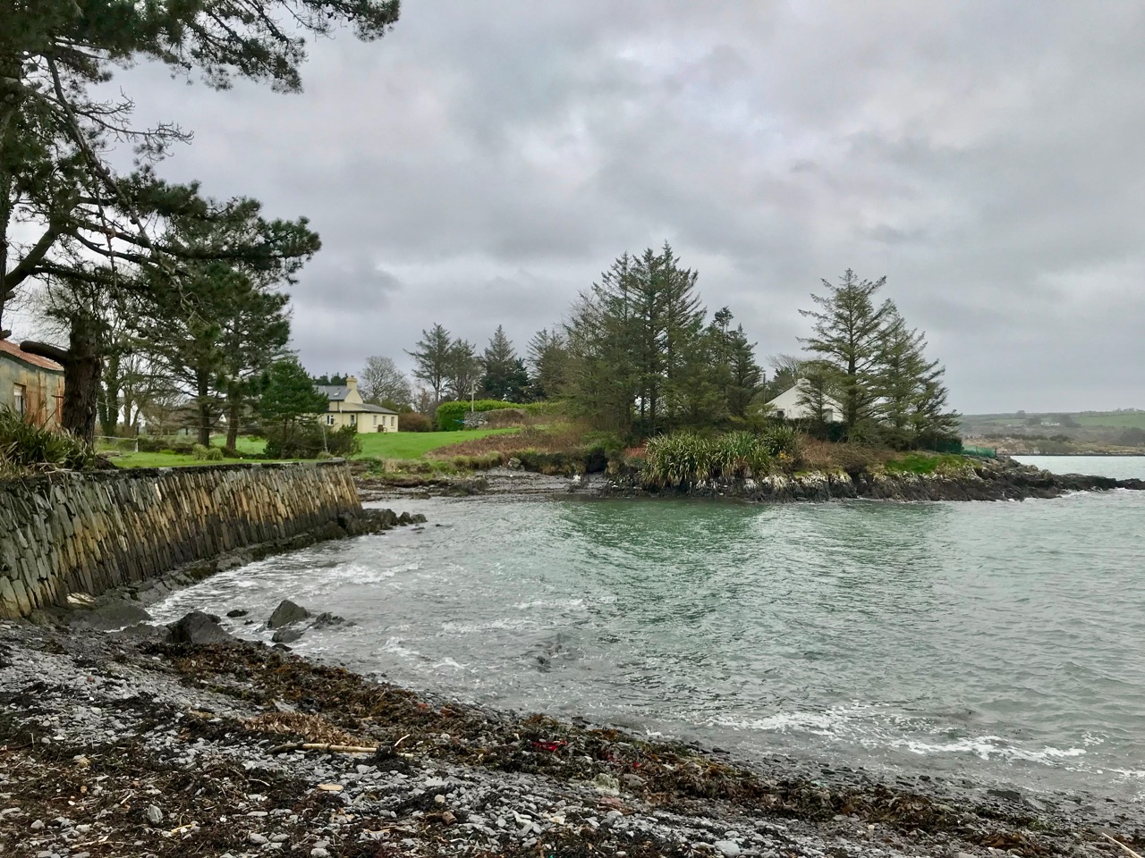
Around this time of year – the start of May – the little quay was put to good use and local boys and men took a trip to Bird Island.
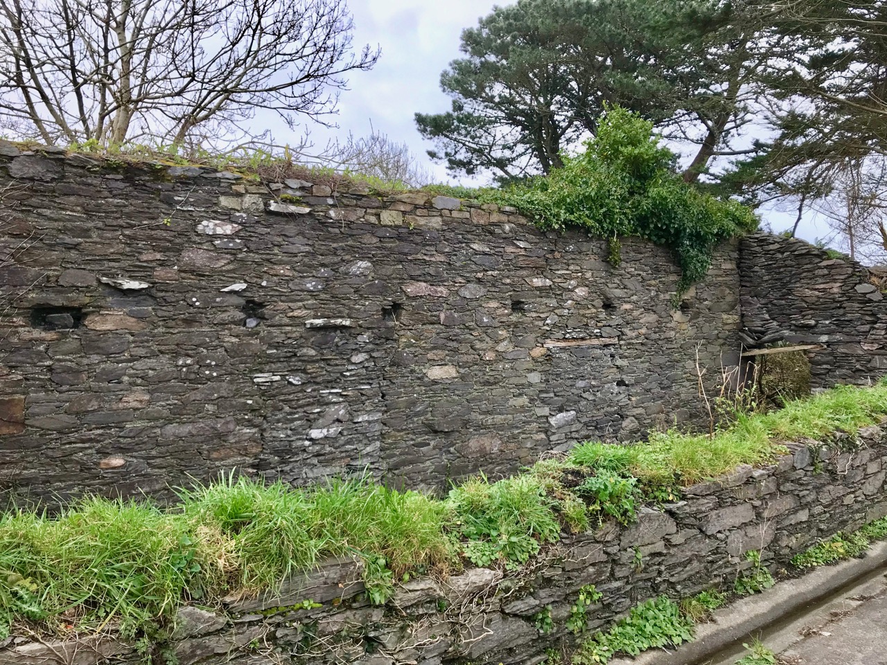
The quay, and an old field wall – impossible to say what period the wall belongs to
This was a tricky island to get on to, there was no landing place and it could only be attempted in calm weather. The first trip was to collect the eggs of the cóbach (the Black-backed Gull). Once ashore, the men attached ropes to iron bars which had been driven into the rock faces, and climbed down the cliffs to gather the eggs.
With the cóbach going mad, it was a tricky job to pull yourself back up with a hand basket and your pockets full of eggs, and often you would end up in a sticky situation!
I get vertigo just looking at the picture – can you imagine collecting eggs from those cliffs?
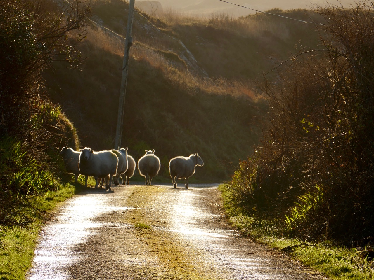
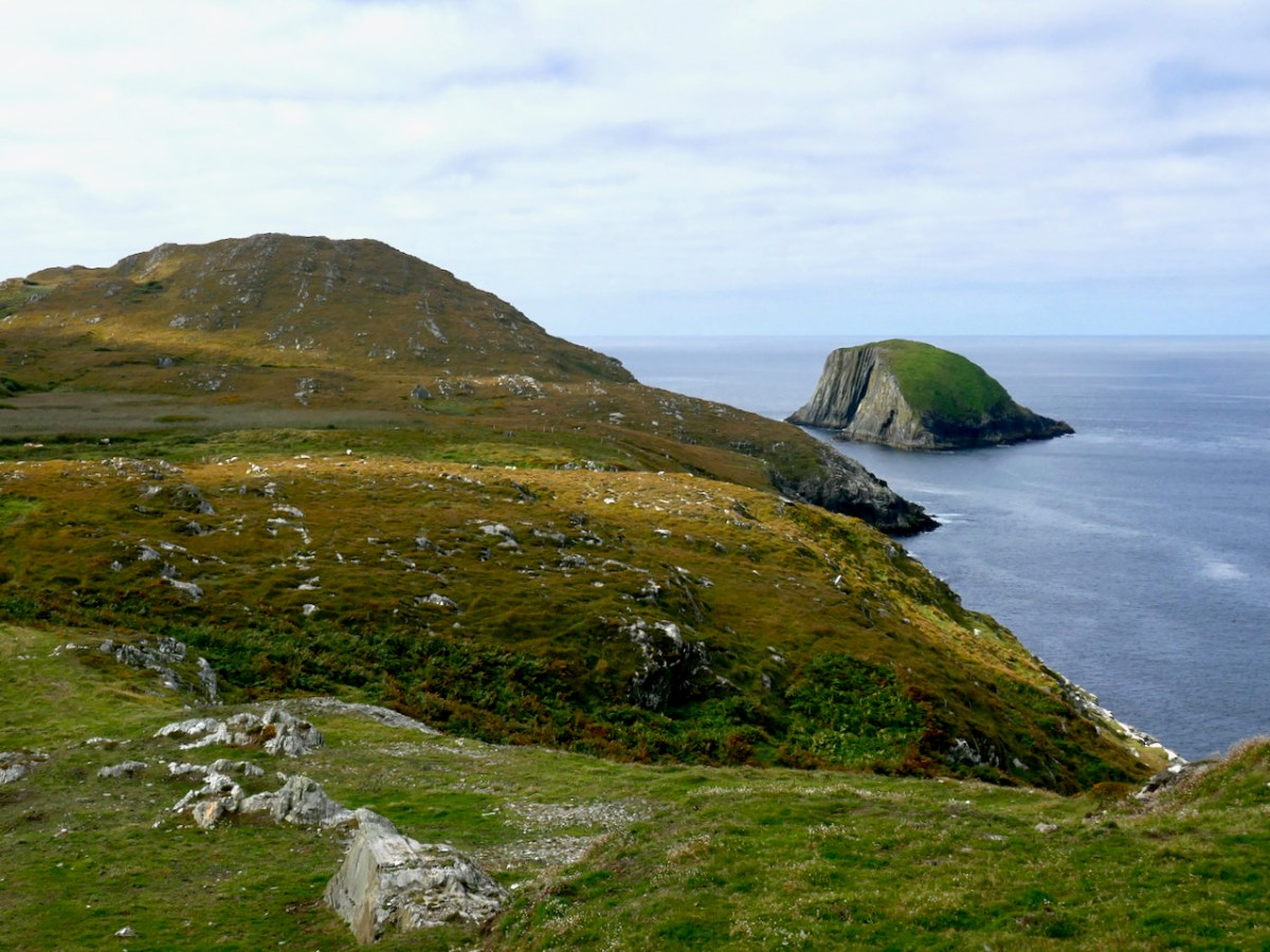
The second trip to Bird Island was to take sheep there for summer grazing. This happened once the Scairivín na gCuach was over – the ‘cold wind of the cuckoo’ that lasted a week or two (it’s happening as I write this) and was generally seen as the last gasp of winter. That’s Bird Island below, this time seen from the west.
It was a great day for the young and fit lads, and at least three would have to go. Fifteen sheep were taken from Canty’s Cove at Dunkelly or the pigeonholes (Cuasnacolúr) on the south side of Meallán. Getting off at the island was a different matter and you needed a still day, as to get up onto the island, even with a gentle heave, was anything but a joke without a landing place. Once you had a man up, a rope was used to haul up the sheep. In the passing of four months on Bird Island the sheep would be as fat as pigs and as wild as the sea around them. It was the very devil to get them off again. By the time you had a brehóg of sheep in the boat, you would be sweating buckets!
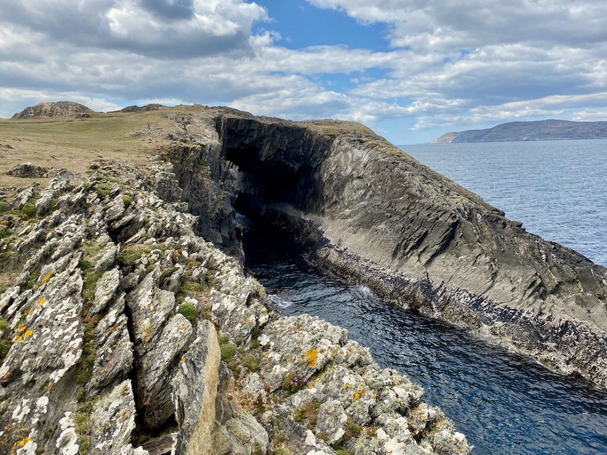
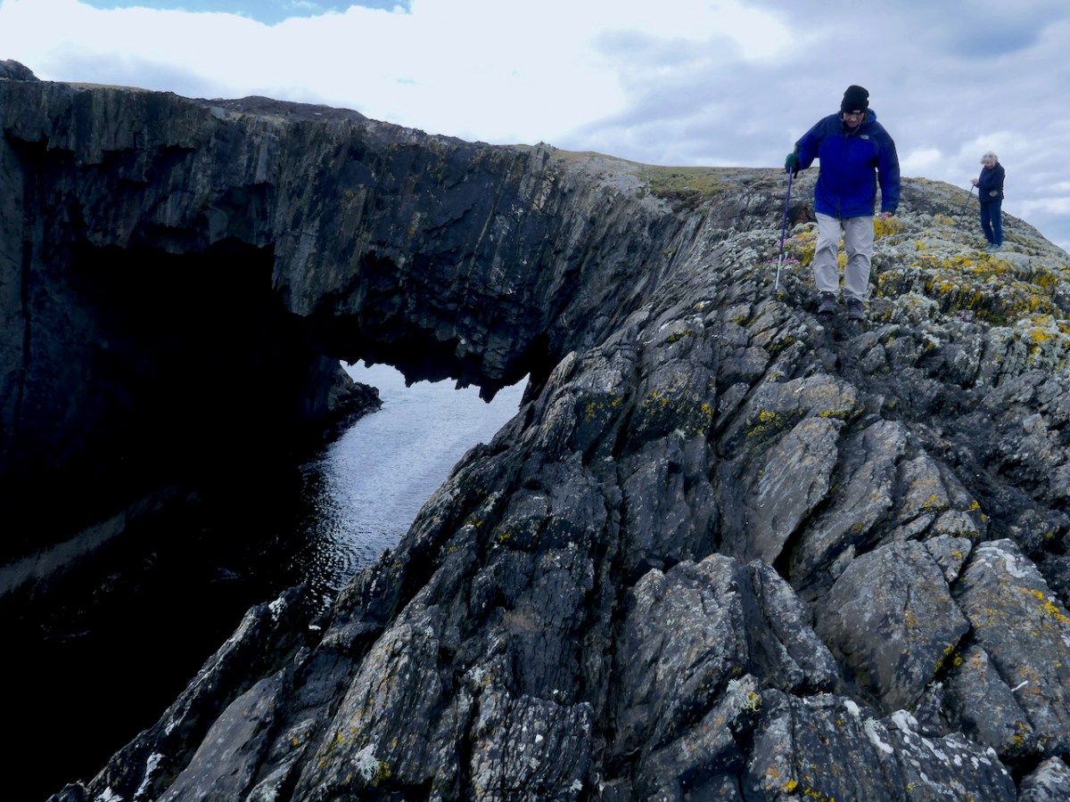
But what about the reason we went there in the first place – those sea-arches? It’s an indescribably eerie feeling to stand on one and see and feel the sea heaving below you.
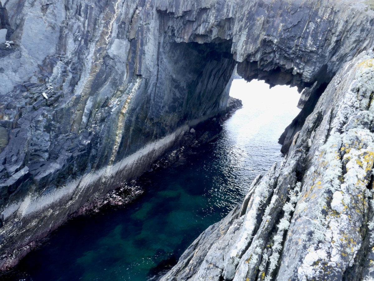
Your head knows that the chances it will give way under you are minuscule, but it feels dangerous and thrilling nonetheless.
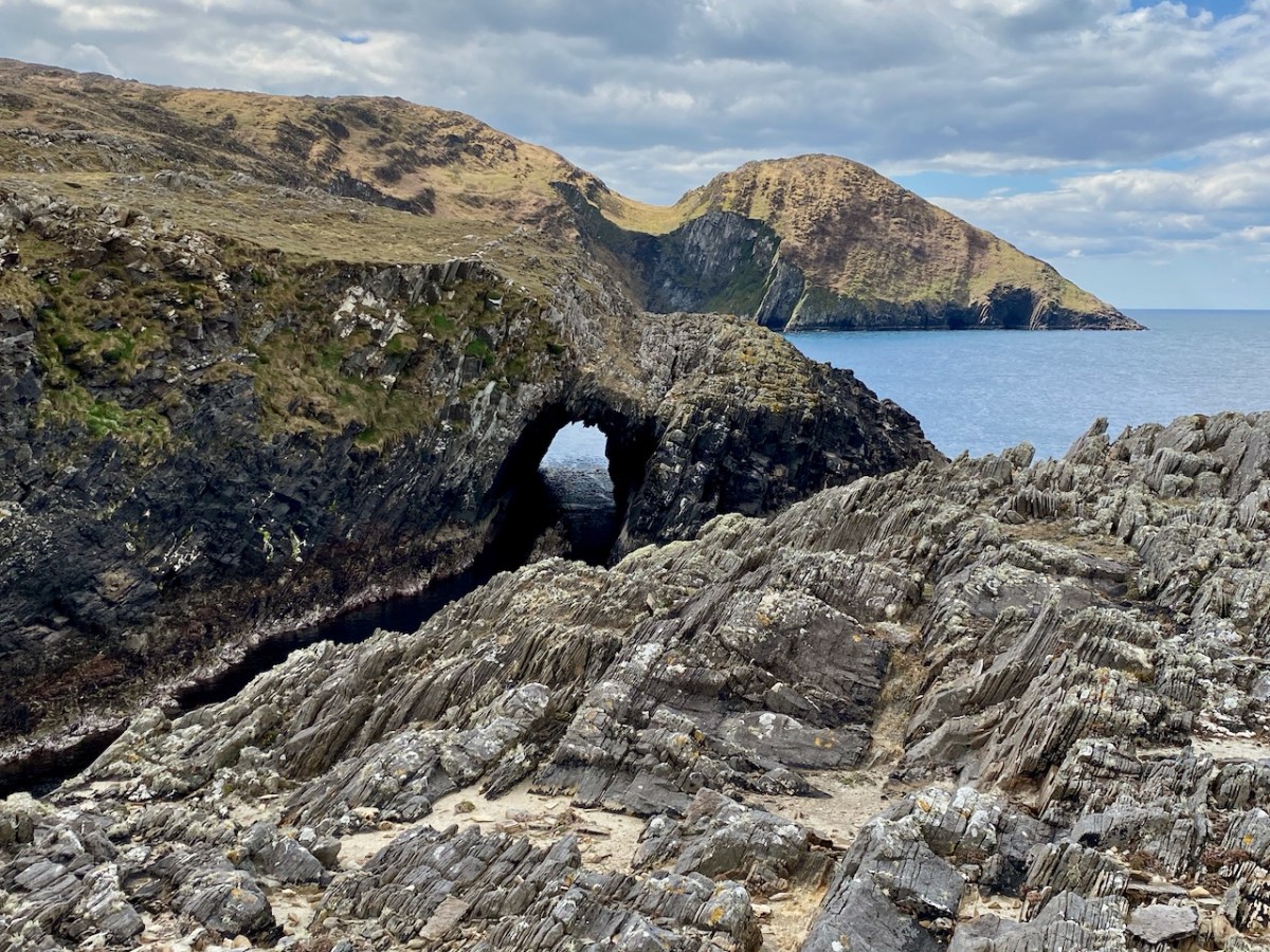
There’s a small sea arch of more recent vintage on the east end of The Meallán, near the lazy beds – you can see the land has collapsed relatively recently. And yet a third on the mainland just west of the Meallán – equally as spectacular as the one we crossed over (above, and the lead photograph). From all points there are amazing views up and down Dunmanus Bay and across to the Sheeps Head.
But perhaps the most special sight of all was Con’s discovery of a nest with three eggs. Una had spotted what we thought were curlews – they had flown up right in front of her as she rounded a ridge, and we reckoned there were six of them. They’re well disguised in the picture below. But – read on. . .
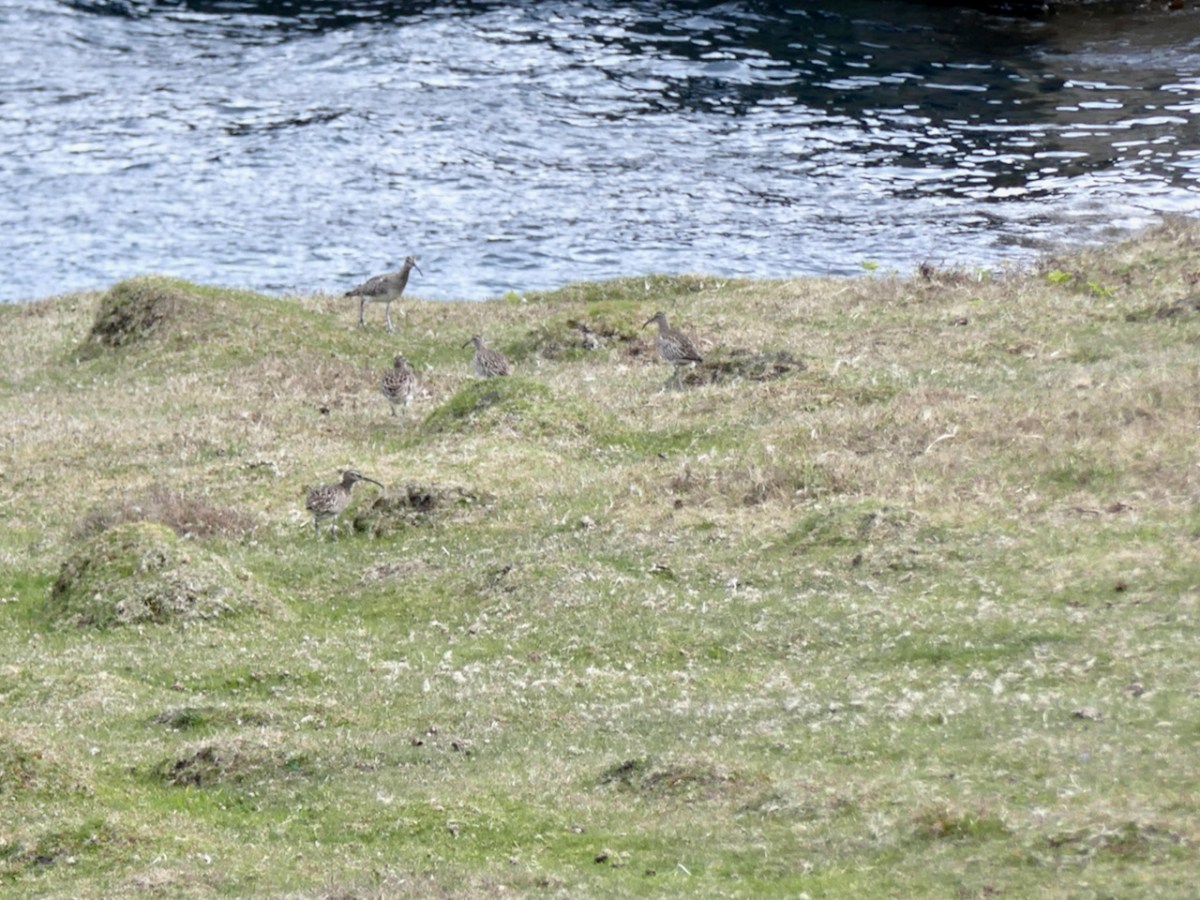
Ireland has lost over 80% of our curlew population since the 1970s and it felt apt, somehow, on this wild and uninhabited corner of the Mizen that they were trying to hang on. Una reported the sighting, but the expert opinion turned out to be that what we saw was actually the nest of an oystercatcher or whimbrel – much more common and not endangered at all. The ‘curlews’ in the photo above are also more likely to be whimbrels – curlews don’t flock in May but the similar whimbrels do. Disappointing!
The Meallán can’t be more than a few acres – but what a place!