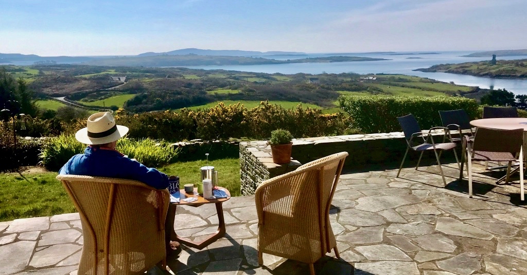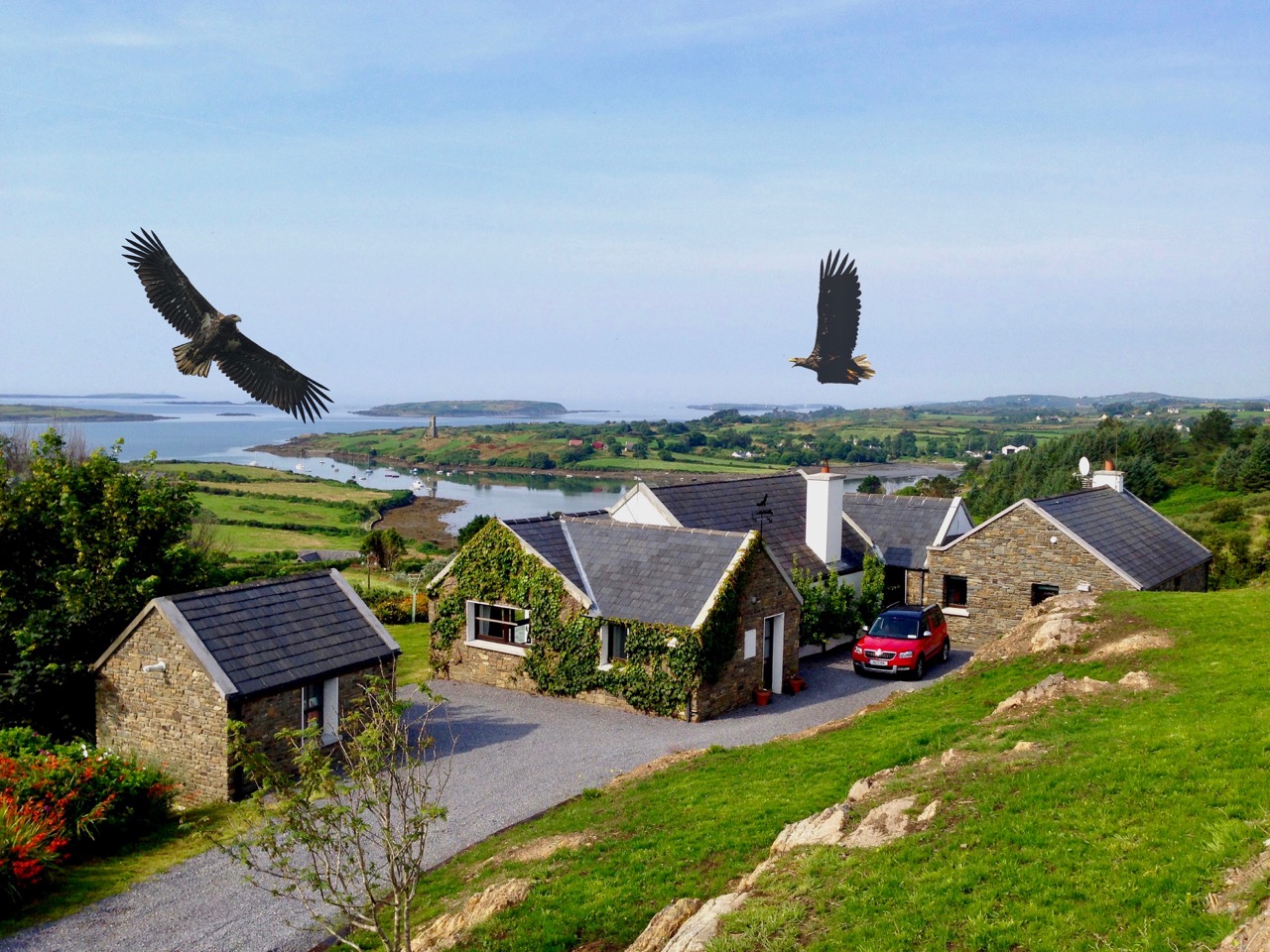
. . . and that view!
Yes, after 13 years of owning this special house, I have sold it to a lovely couple who I know will treasure it like we did. I am moving into Schull (all of 8km away) on Thursday, and I am looking forward to being able to walk everywhere, especially to Amar’s cafe.
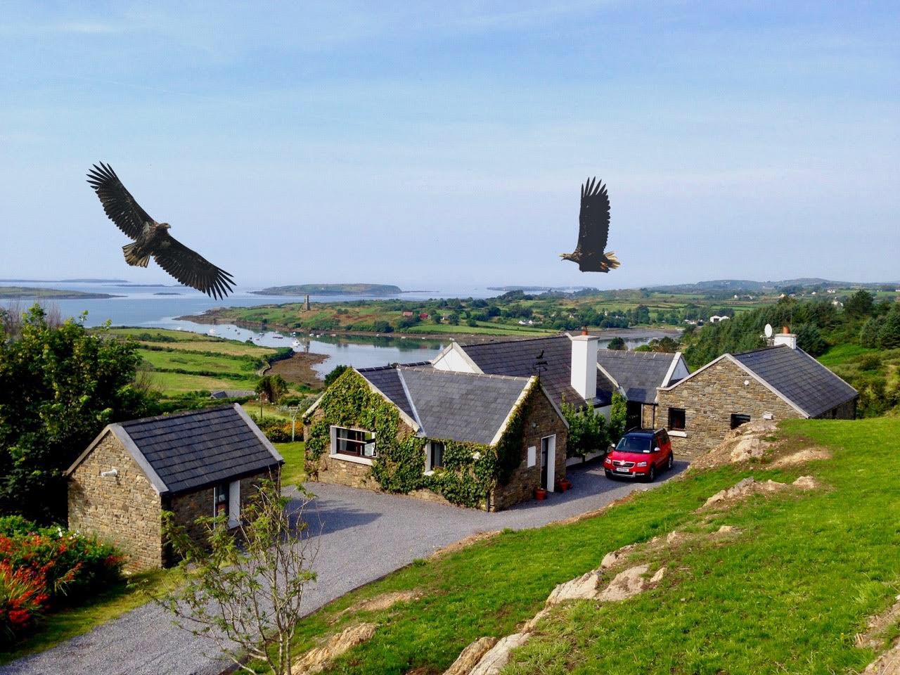
Nead an Iolair – it means Eagle’s Nest and was Robert’s choice of a name for the house – has been the subject of many of our posts and as a final honouring of the house and the acre it sits on, here is a round-up of some of the posts we have written about it all, over the years.
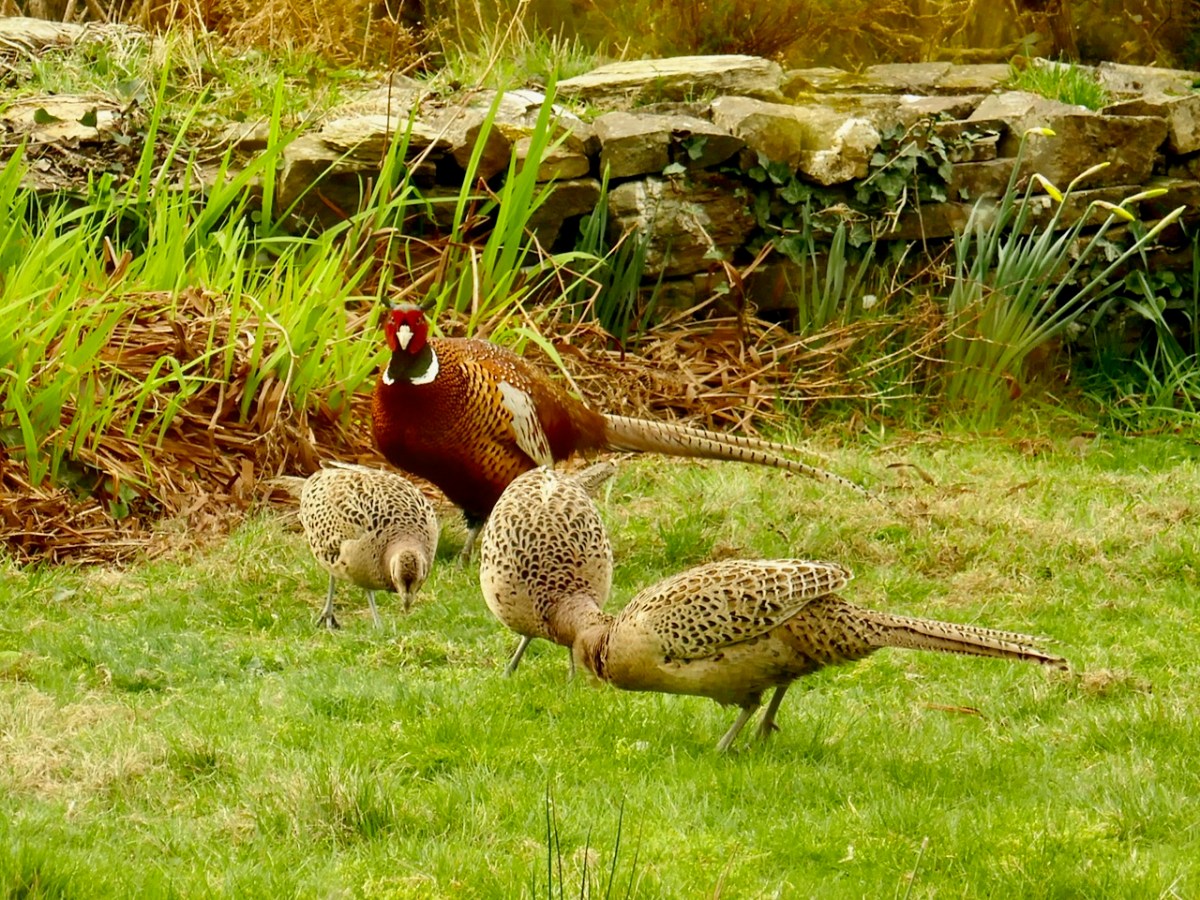
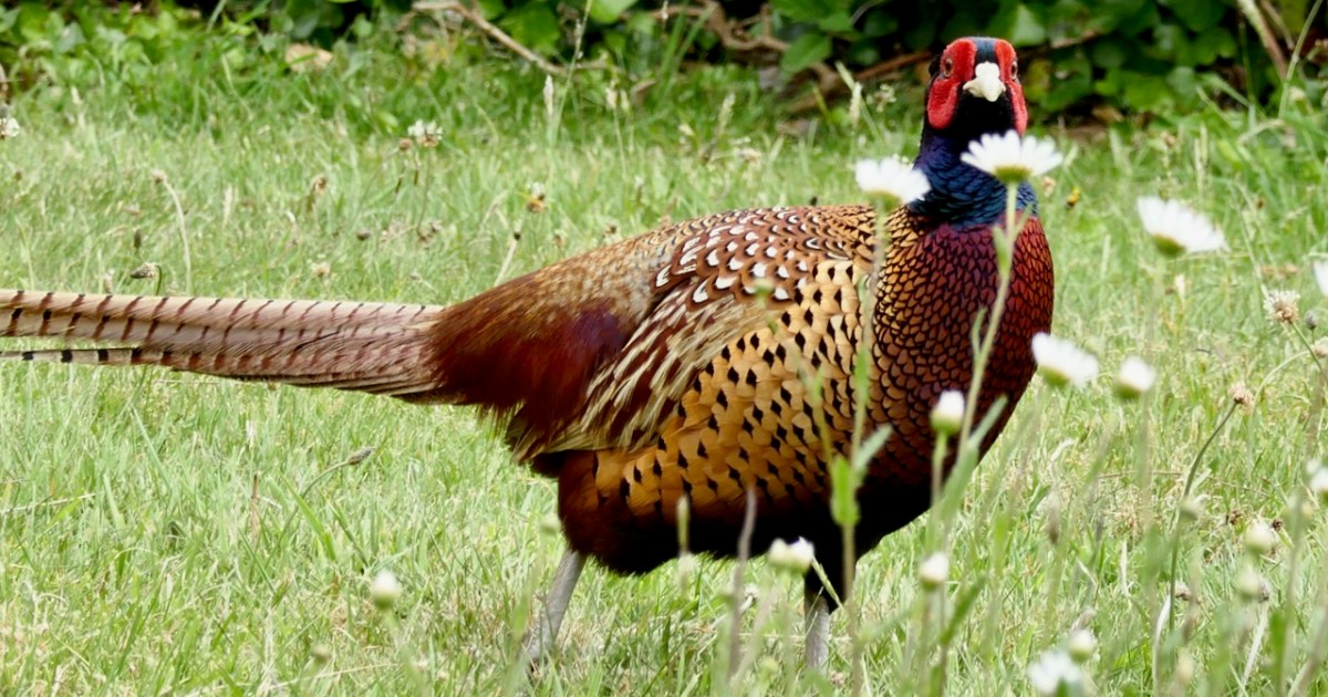
Although we have kept no pets, we are far from deprived of the company of animals. Finbarr the Pheasant, for example – our heads tell us it cannot be the same bird all these years, but our hearts just think that we have looked after him so well that he has adopted us. He has had up to four wives – there are currently two and it has kept him busy, herding and courting them and fending off other males. All played out in front of our living room window.
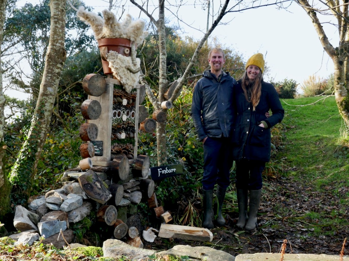
And let’s not forget our other Finbarr, Our Lockdown Mascot, the bug hotel designed and installed for us by Kloë and Adam, of Two Green Shoots. He’s still there – say hello if you pass.
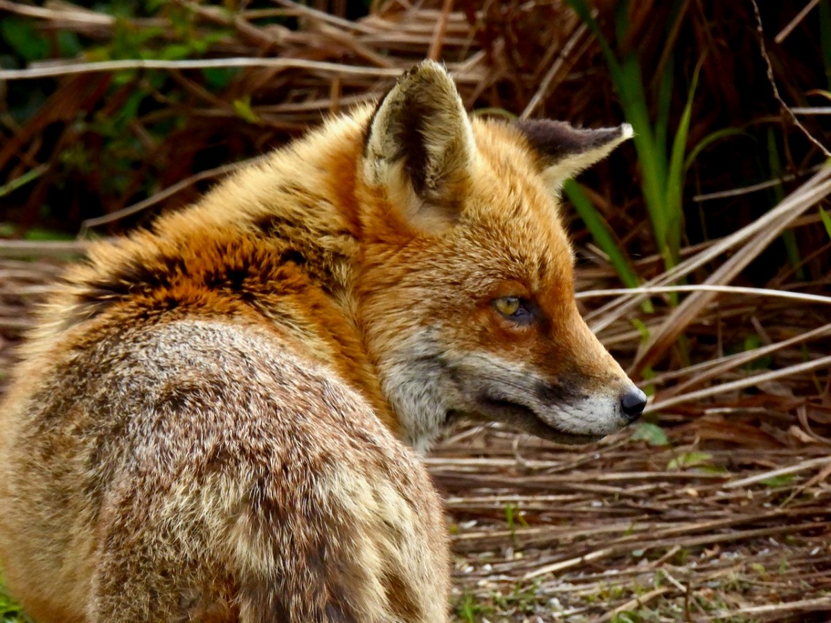
And we still miss Ferdia – the friendly fox who would eat out of our hands (anything except broccoli) and who loved to sit on the terrace while Robert played his melodeon. Occasionally another fox trots by but none have taken Ferdia’s place as a constant visitor.

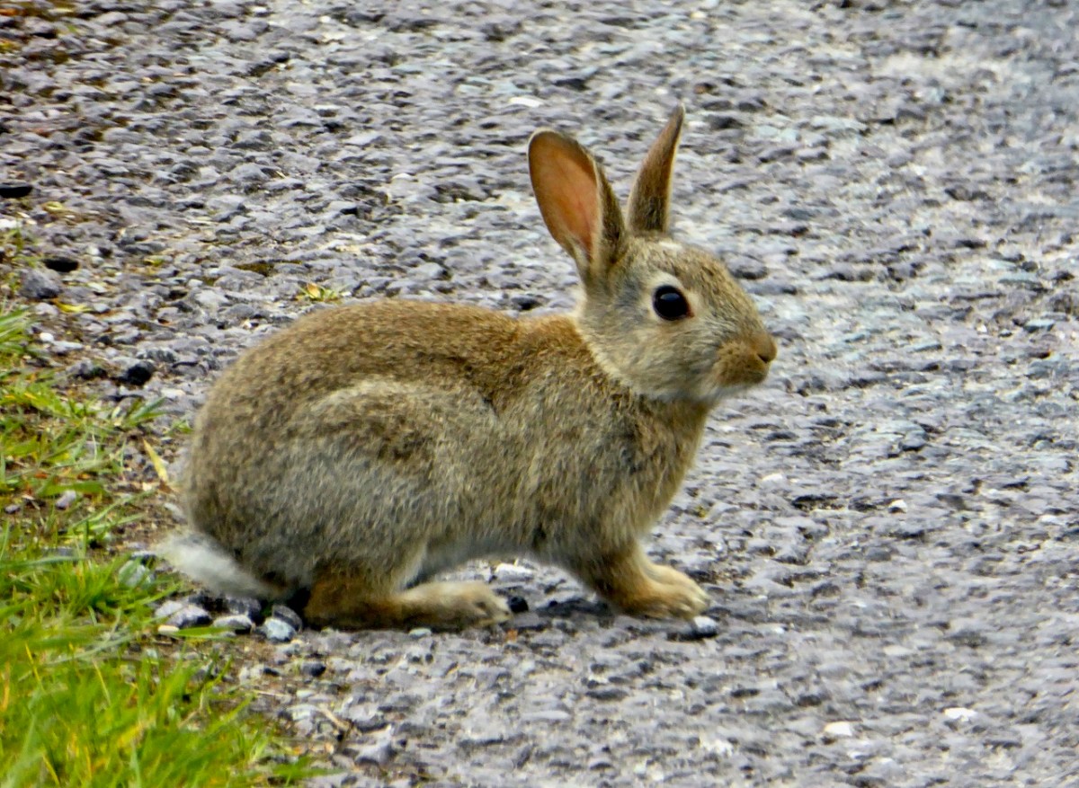
If I come home in the evening, rabbits are leaping into the hedges as I drive in. When I throw open the curtains in the morning, they are sitting outside my window.
Robert was a hare fanatic, and we did have a brief dalliance with a young hare we called Berehert (below), but they have become quite rare now in our neighbourhood.

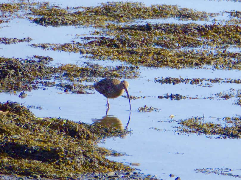
The choughs are wheeling overhead all day, with their distinctive call and their aerial acrobatics.

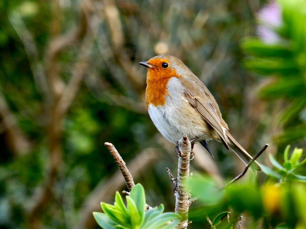
Small birds come to the feeder, and there is a robin that I am this close to coaxing onto my hand.
And although we don’t see them, the moths are everywhere – from hardly visible against a stone wall to spectacularly coloured.
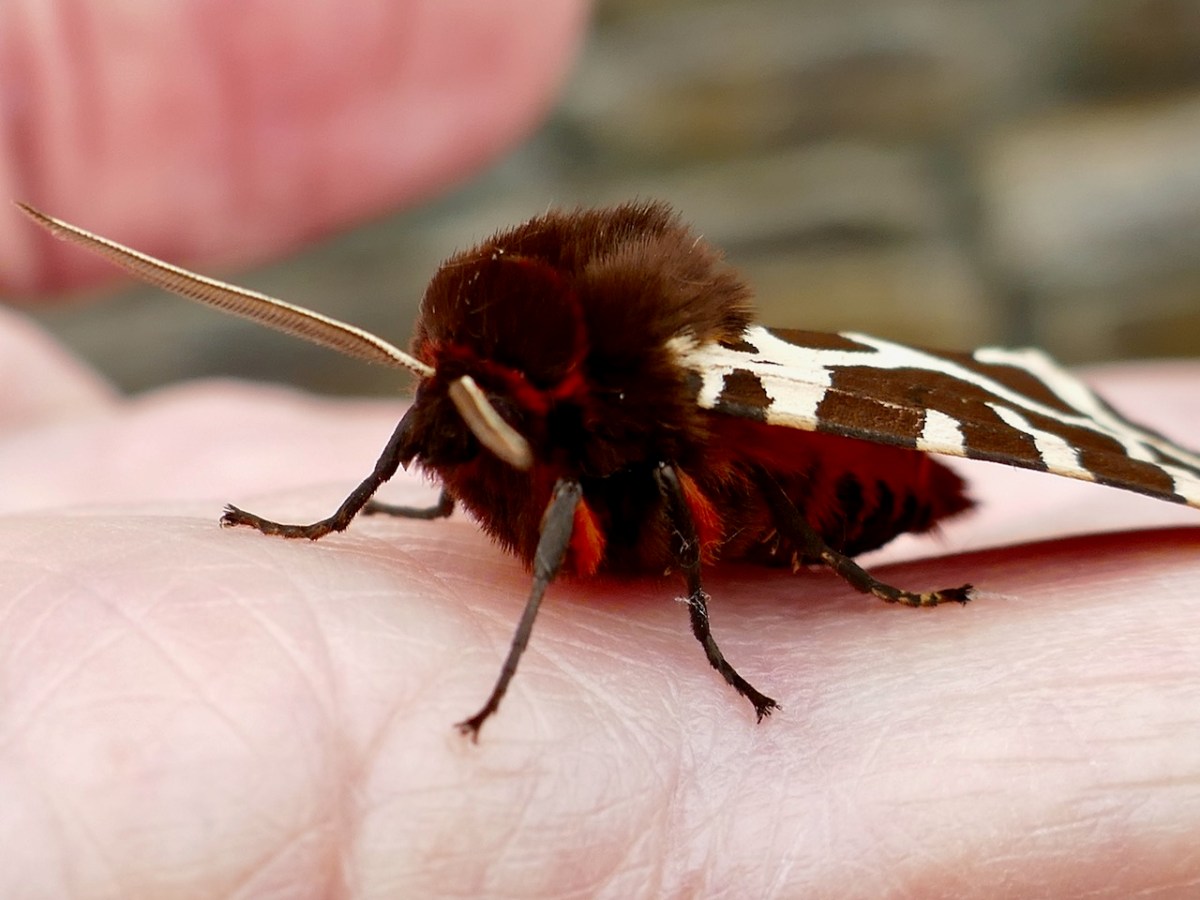
It has been a joy to discover the beauty and variety of these silent creatures of the night.

Every now and then a bird or animal will appear for a brief time to grace us with its presence – like Spiro the Sparrowhawk, who perched outside our bedroom window and cased the joint before swooping off low over the back wall.

Or like this bundle of ferocity – The Wild One – a stoat who terrorised the pheasants, despite being a lot smaller than they are.

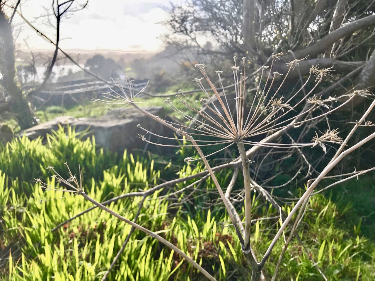
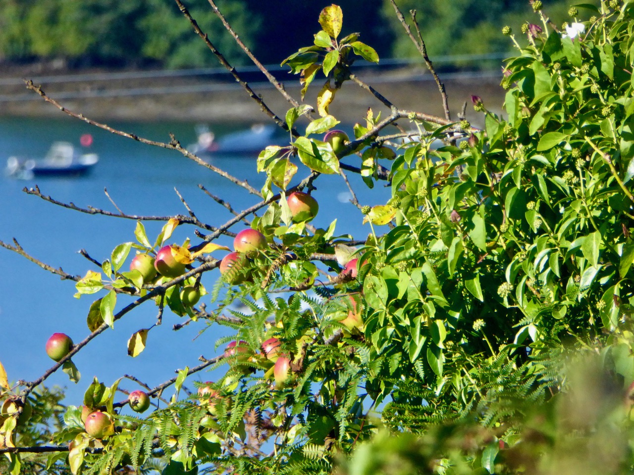
One acre – that’s what we have here. I documented the wildflowers that have popped up all over the acre, both in my wildflower patch and just on the land on general.
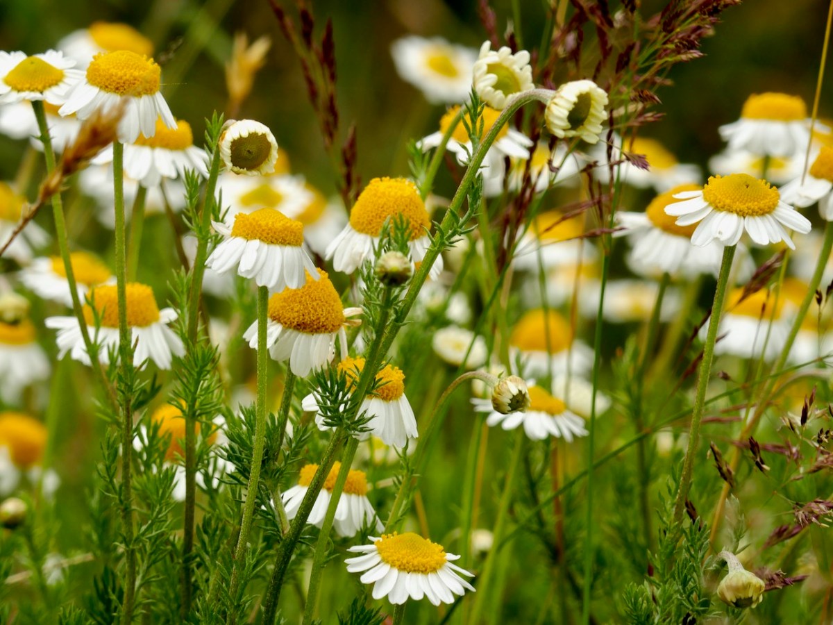
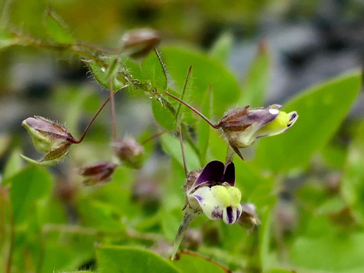
The chamomile is spreading and every now and then, something really unusual shows up – like this tiny sharp-leaved fluellen that has managed a toe-hold in my driveway and came from God knows where (below). My slideshow, Lying in the Grass, will give you an idea of the variety of plants I have found here.
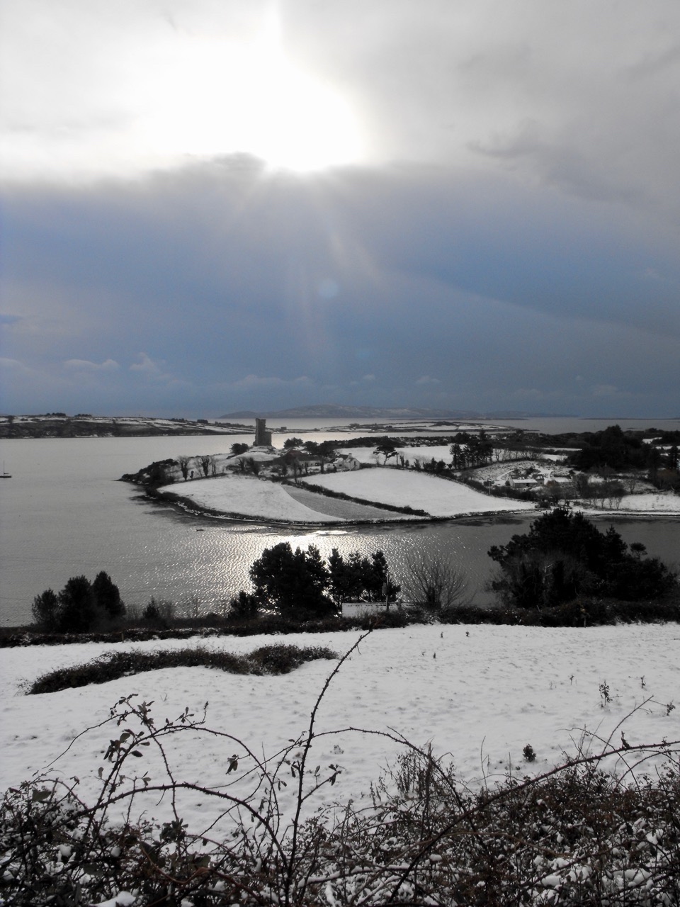
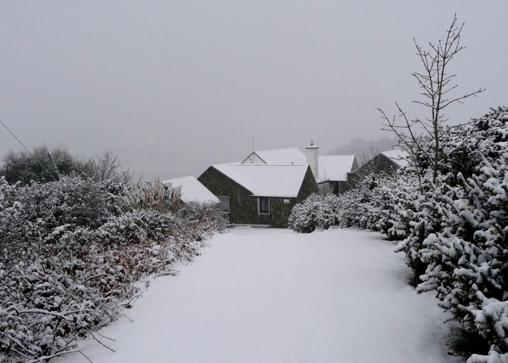
The storms that sweep through in the winter can do some damage. When we moved in, we had the gorse jungle in our front haggard dug out. All that did was expose our pine trees to the winds and each of them toppled in turn.

The lovely wall surrounding our property also gave way over time, leading us to get Diarmuid to come and Build a Stone Wall. Watching him, we discovered that this was a craft and a skill that hasn’t changed in hundreds of years.

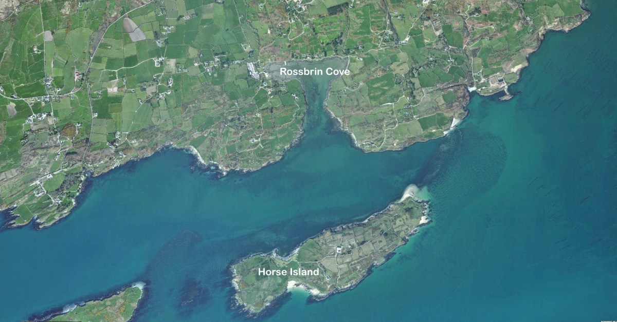
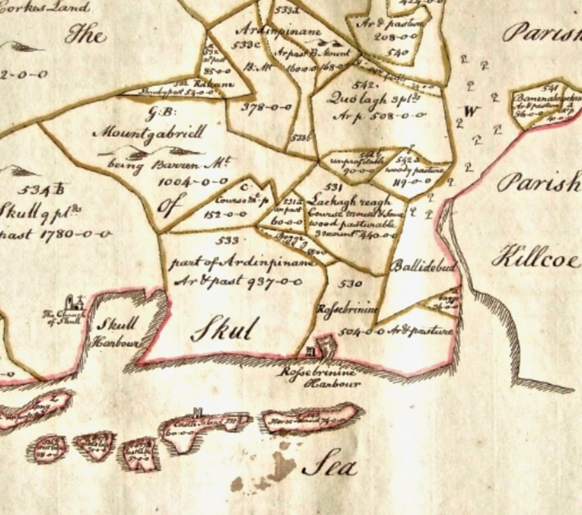
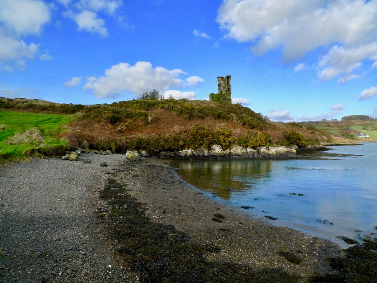
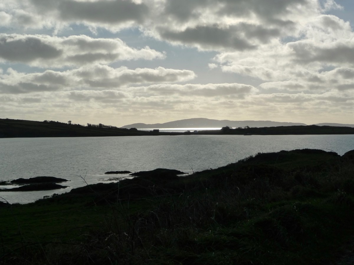
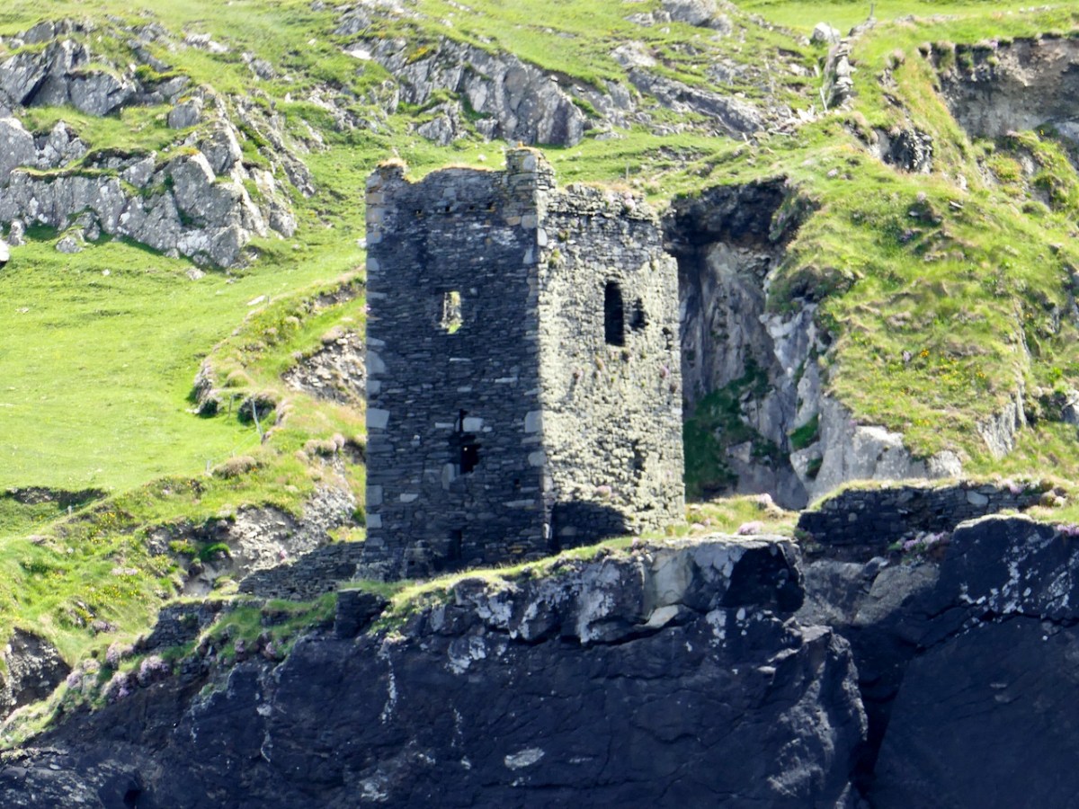
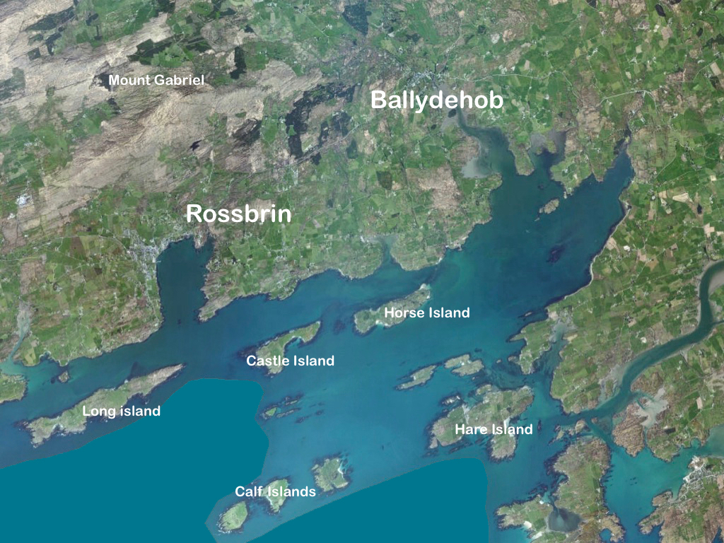
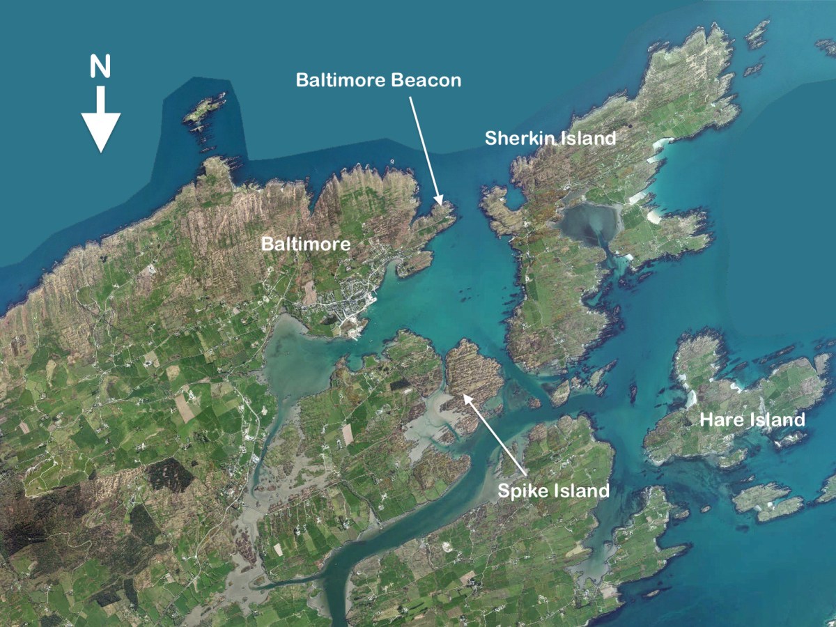
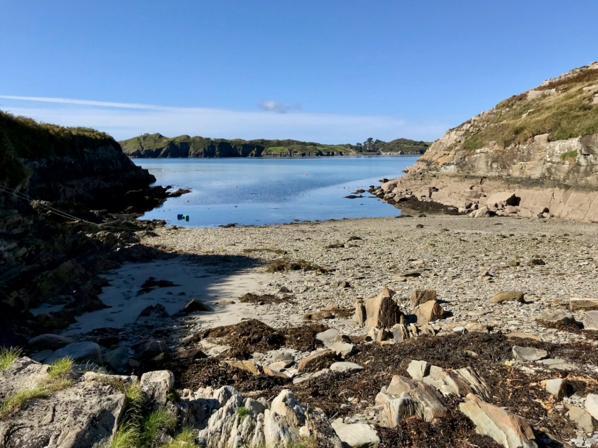
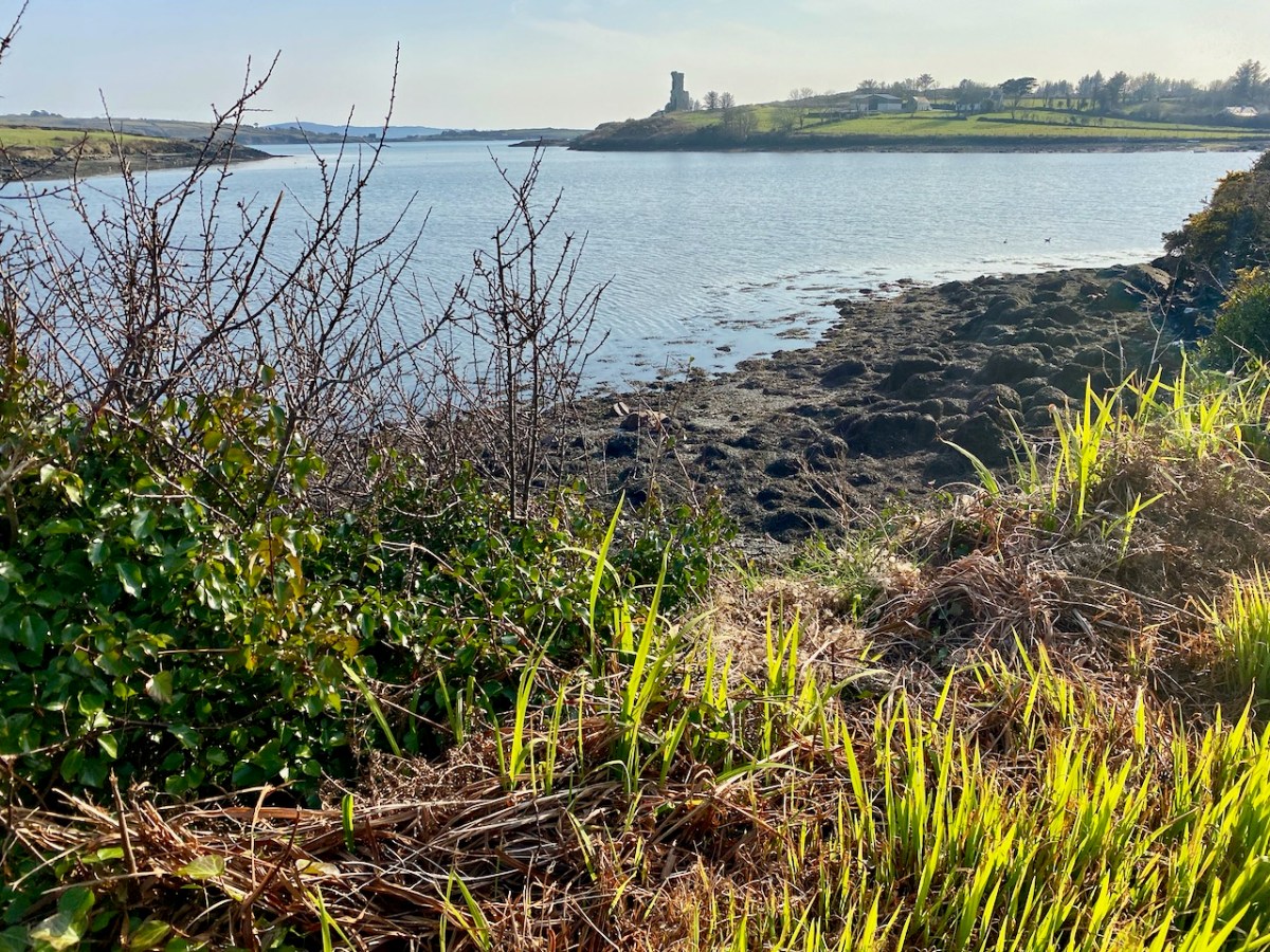
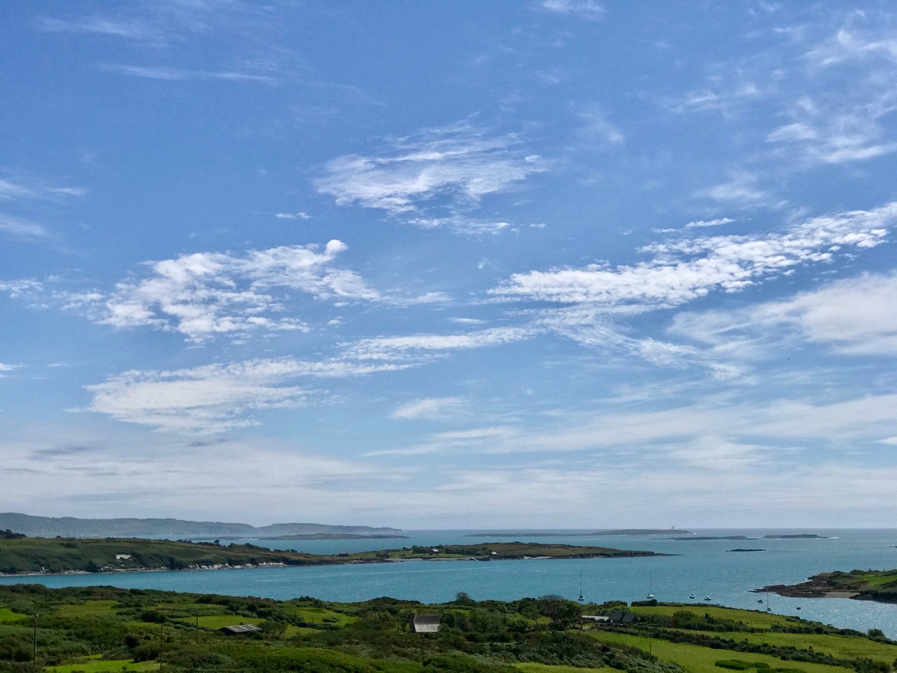
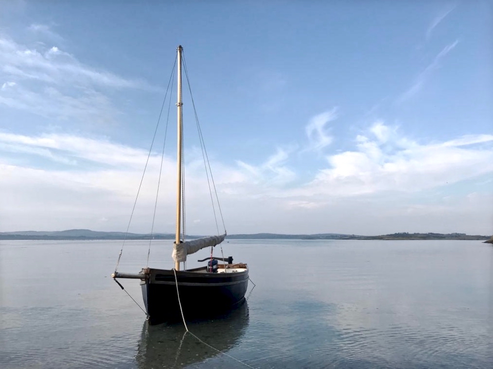
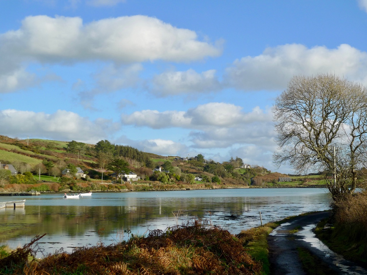
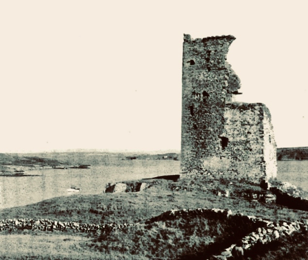
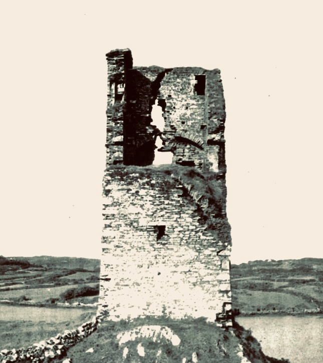
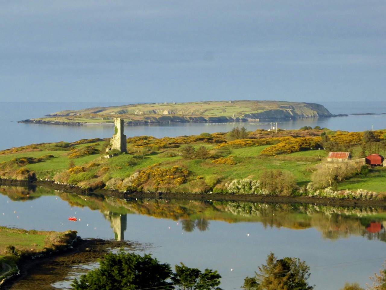
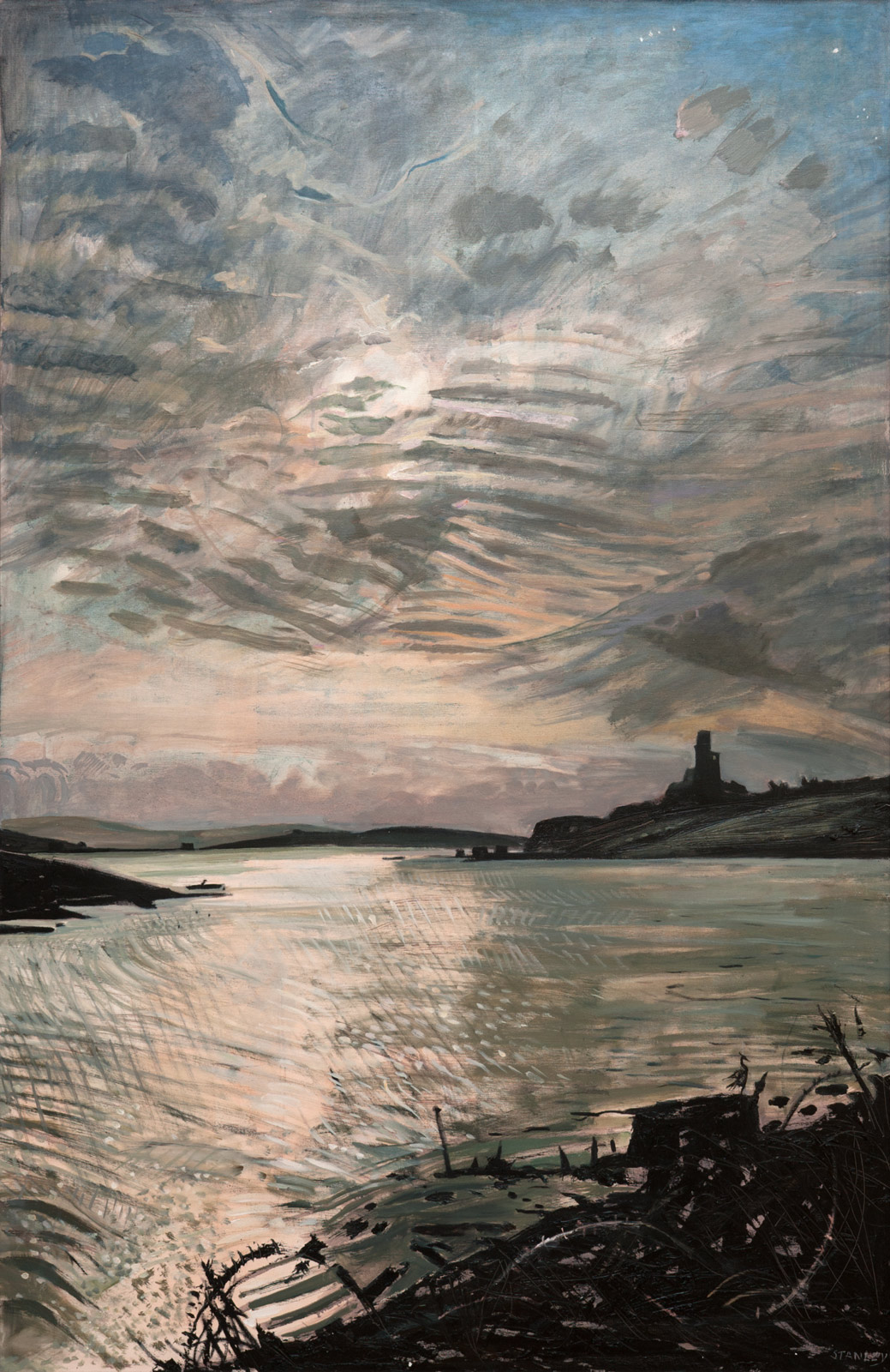
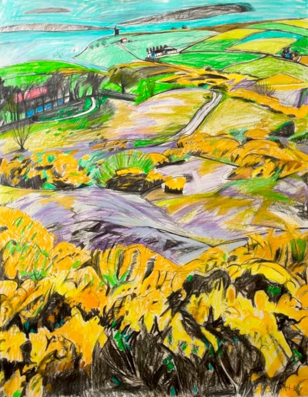
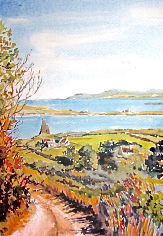
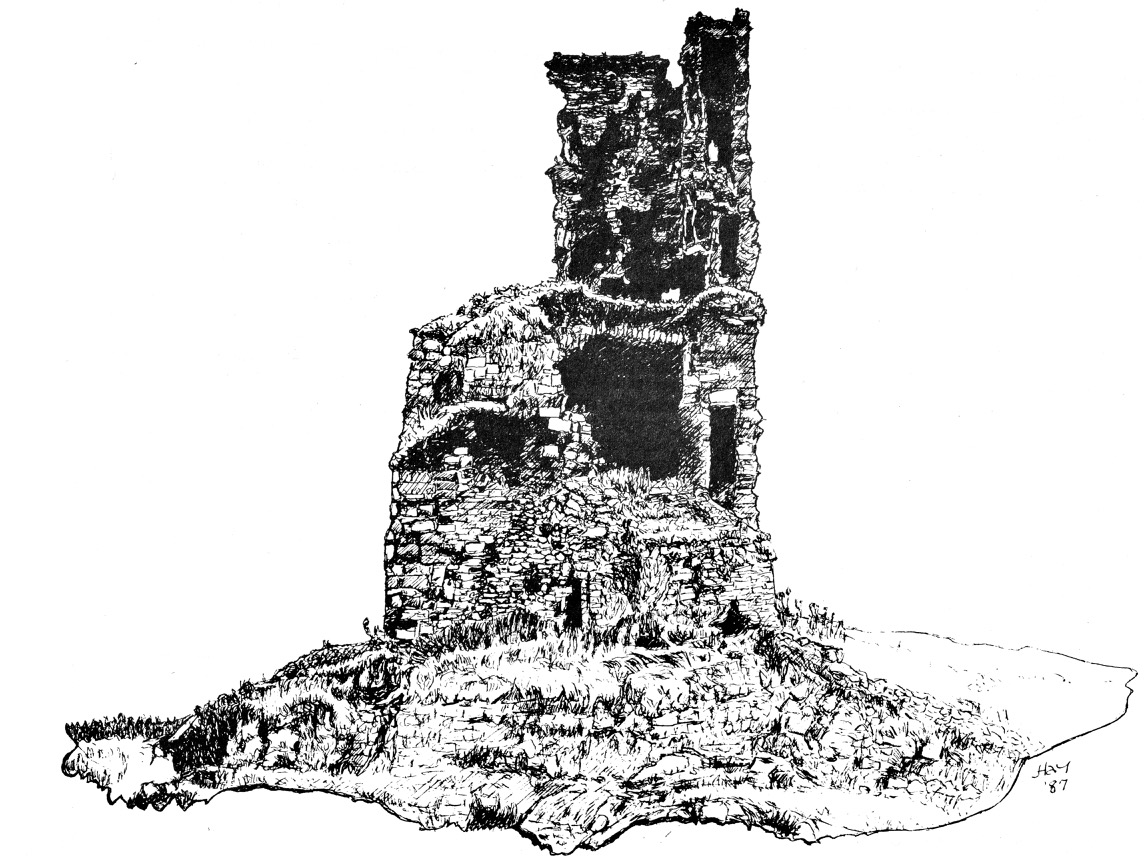
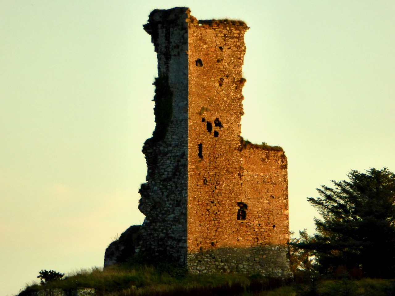
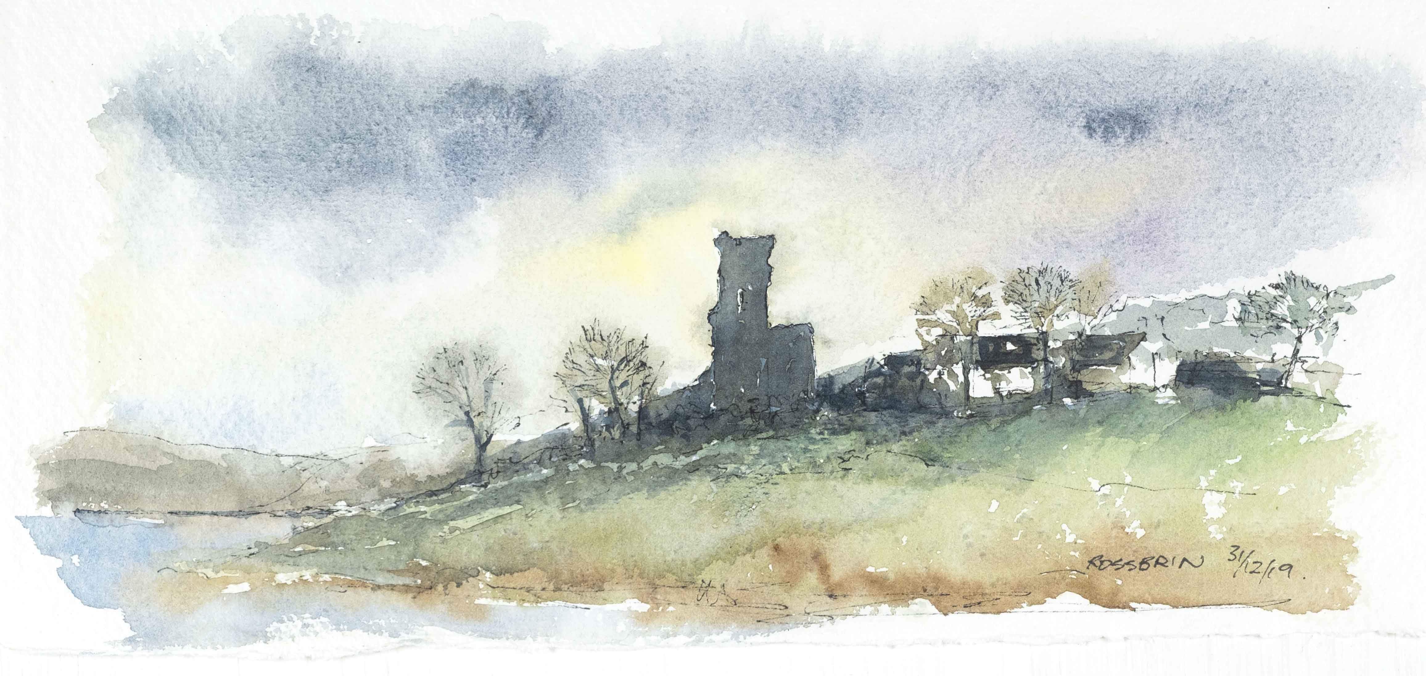
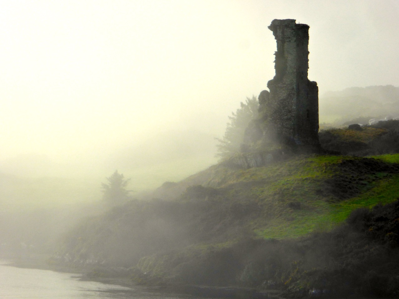
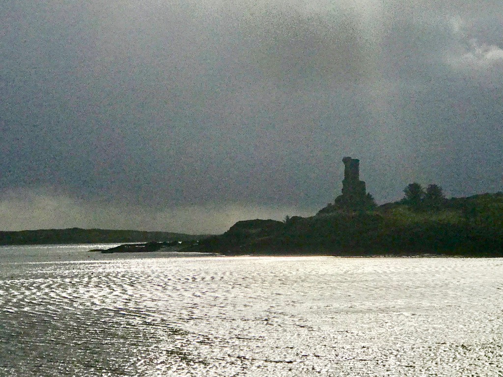
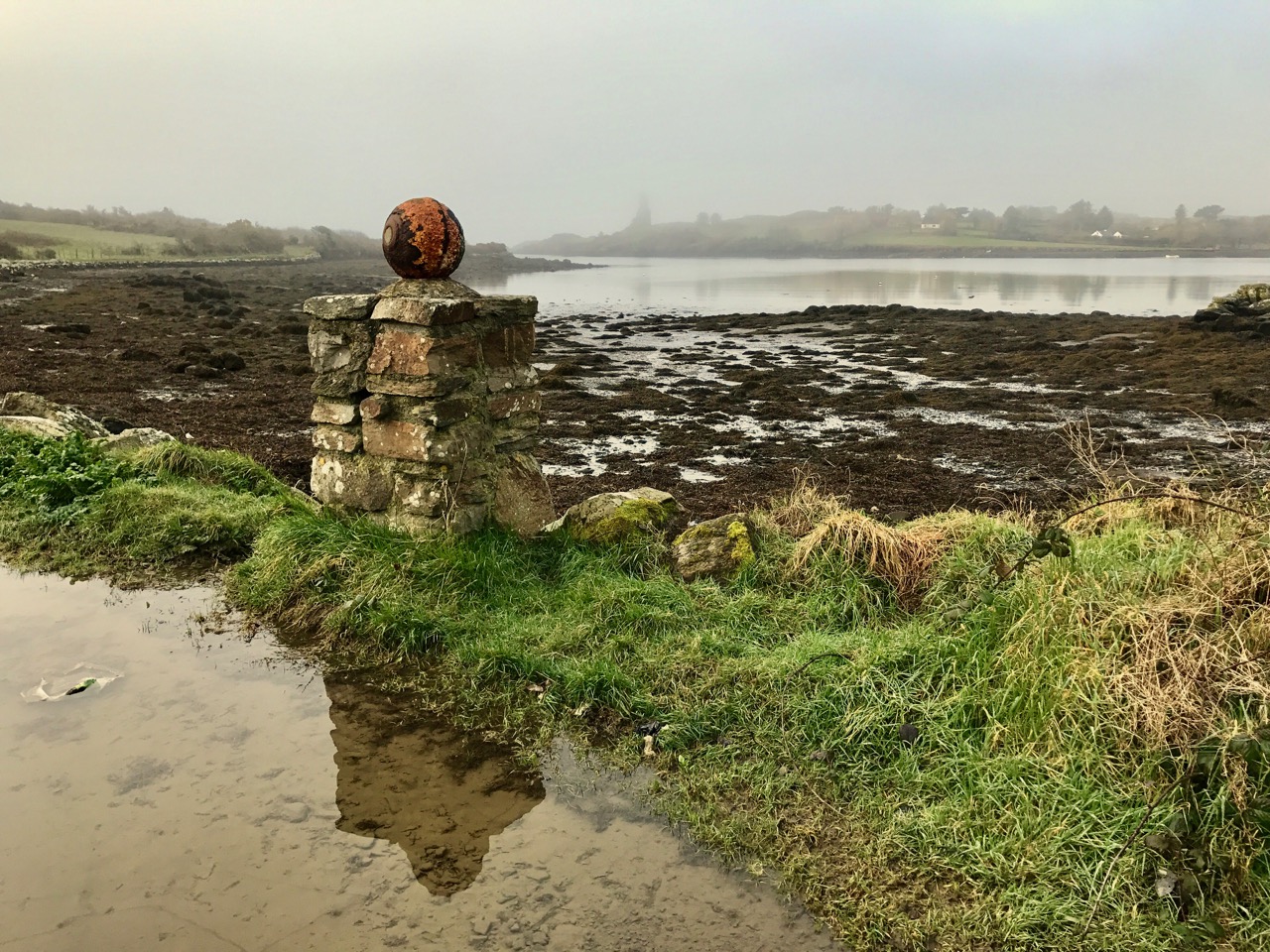
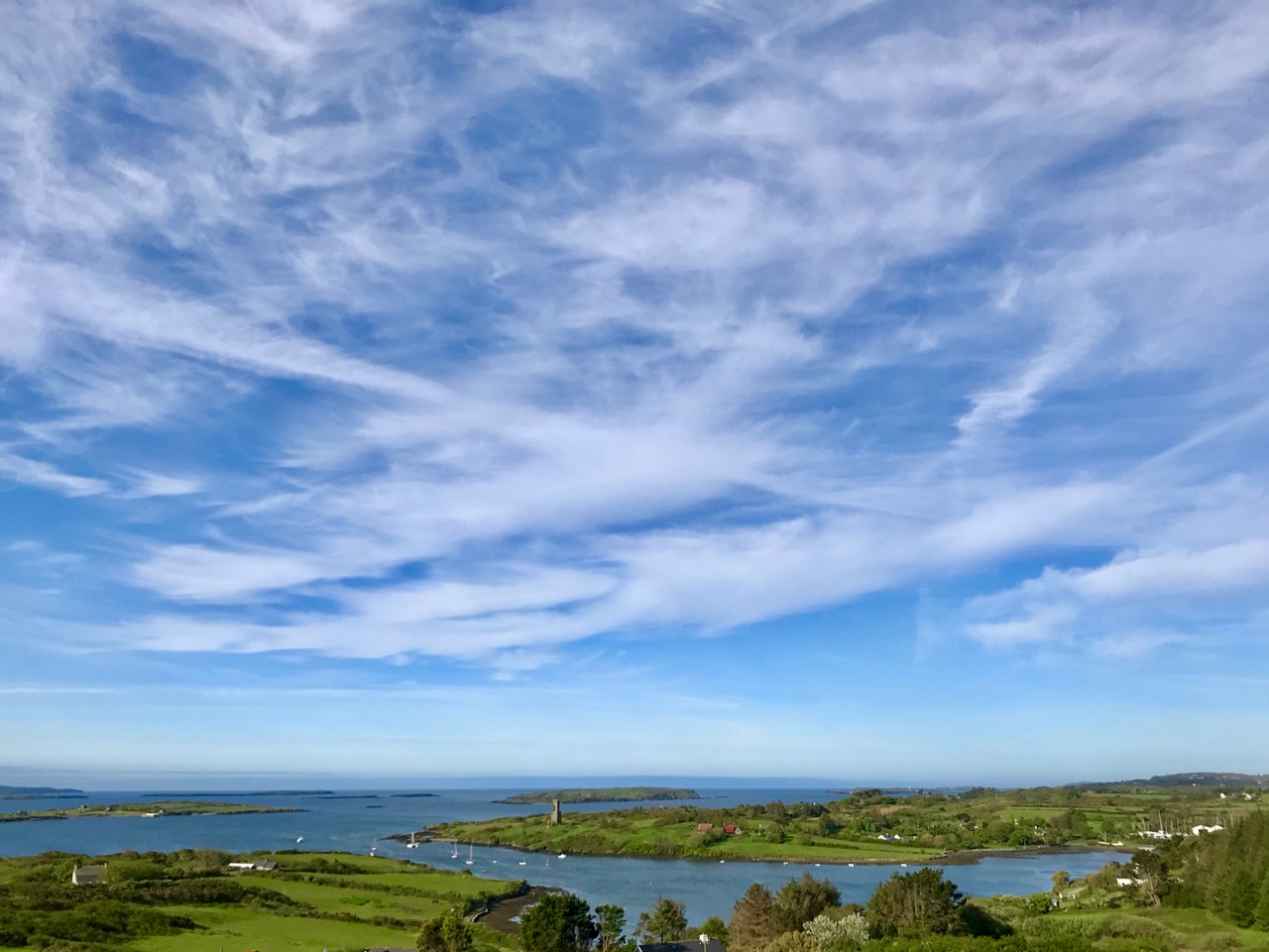
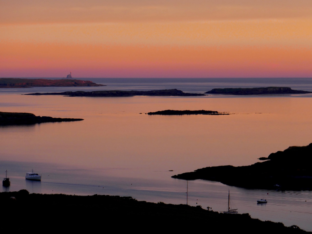
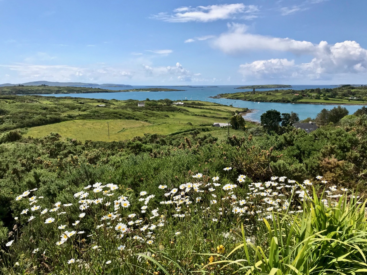
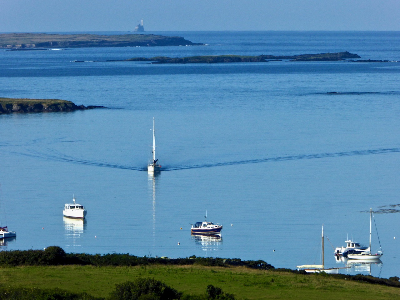
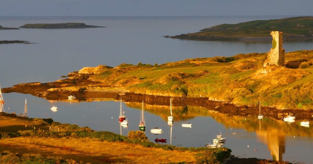
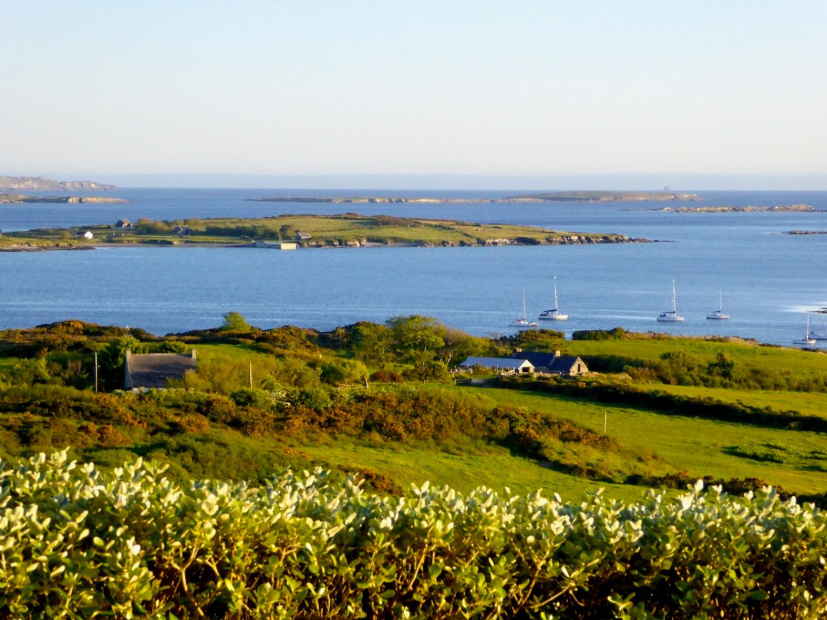
I will miss our amazing view across Roaringwater Bay. We can see several medieval castles, the Baltimore Beacon, the Fastnet Rock, most of the islands. We hear The Roaring on a calm day after a storm. We see the sun going down further and further south each day as the year turns, sometimes sinking into the sea and sometimes dropping behind an island or a hill.
And even though Robert is gone almost two years now, I still find myself saying we, because his presence is so palpable in this place that he loved, and all my experiences here were shared with him. I know his benign spirit is coming with me to Schull: he would have loved the new house and totally approved of my move.

And yes, don’t worry, his Finola Window is coming with me