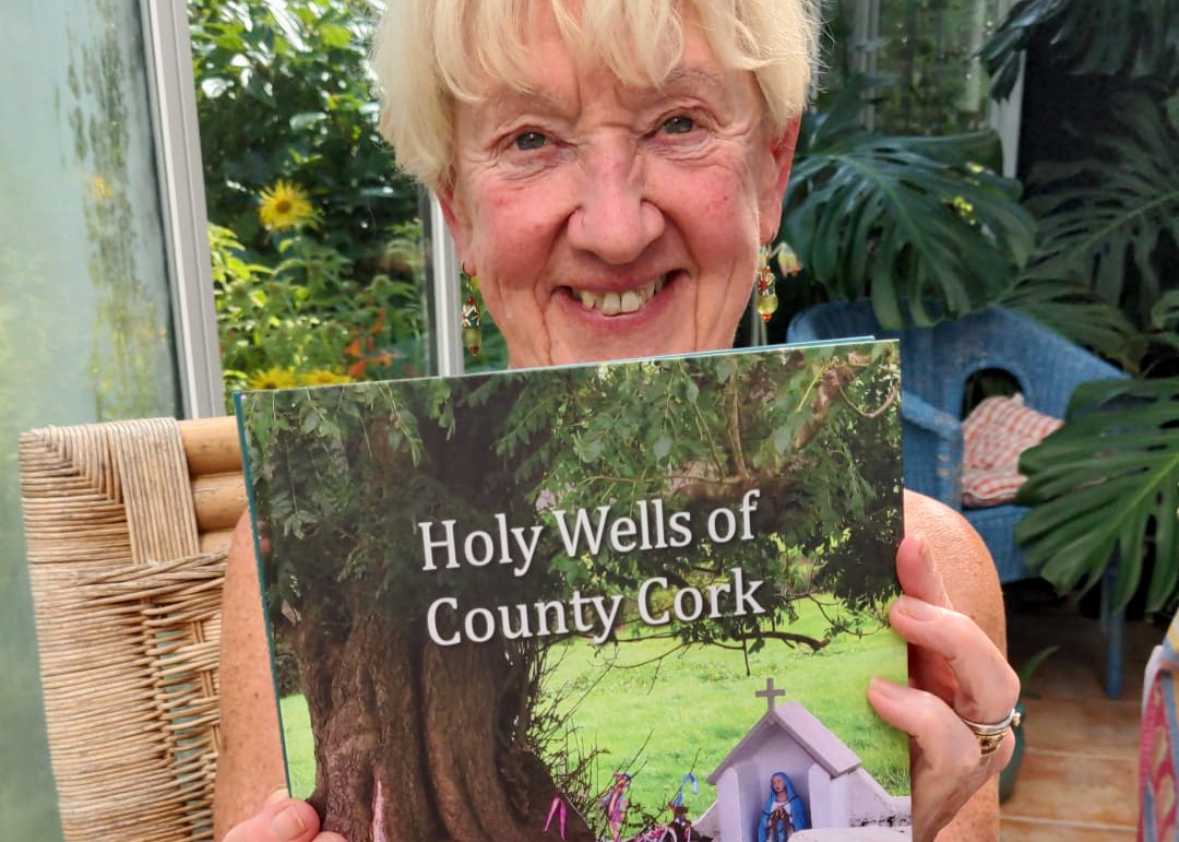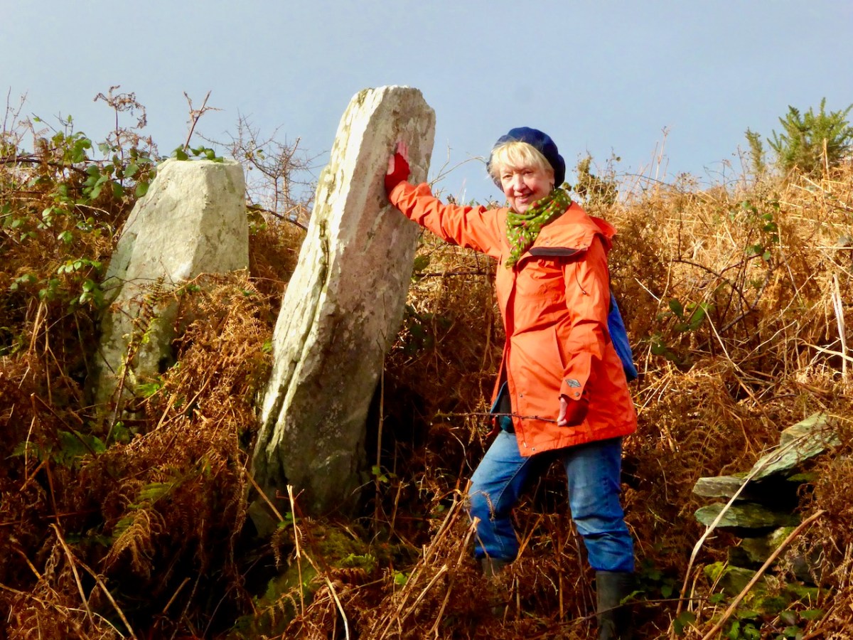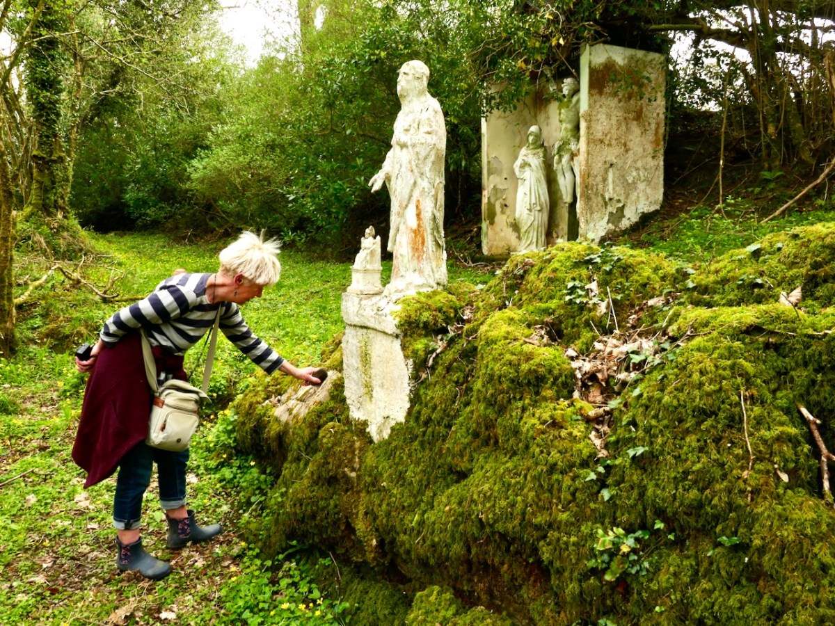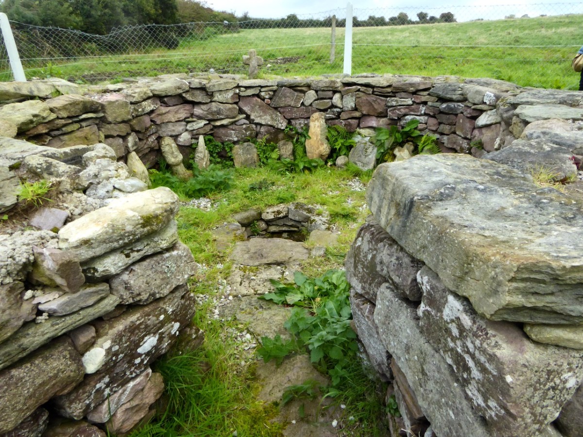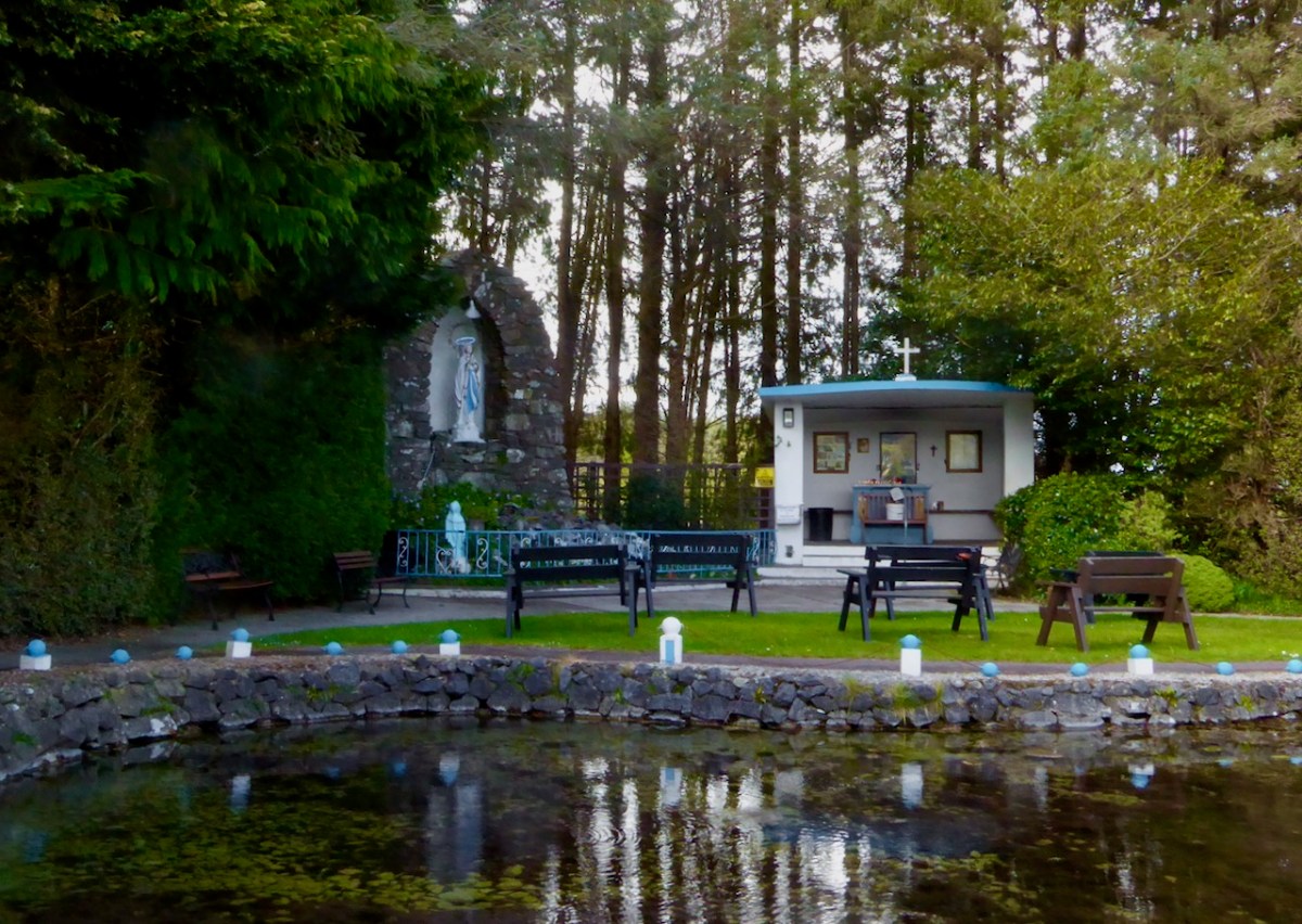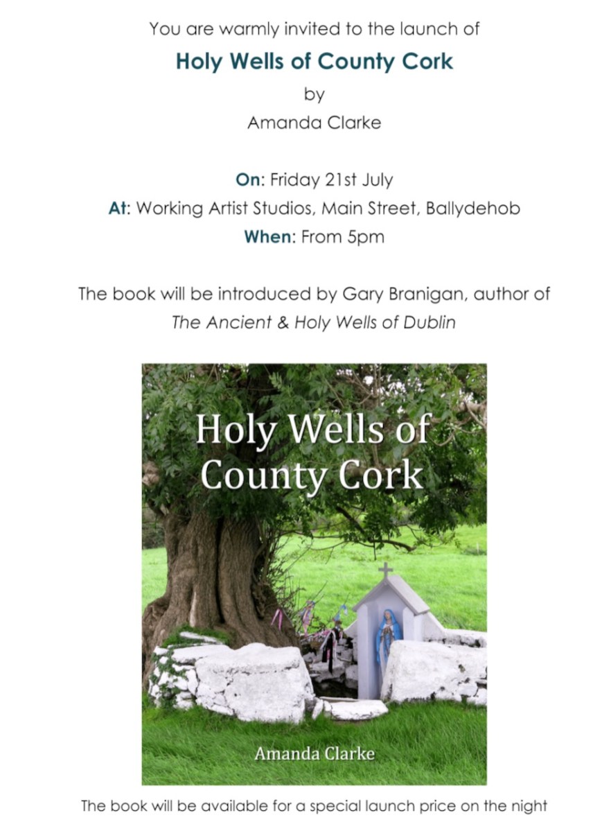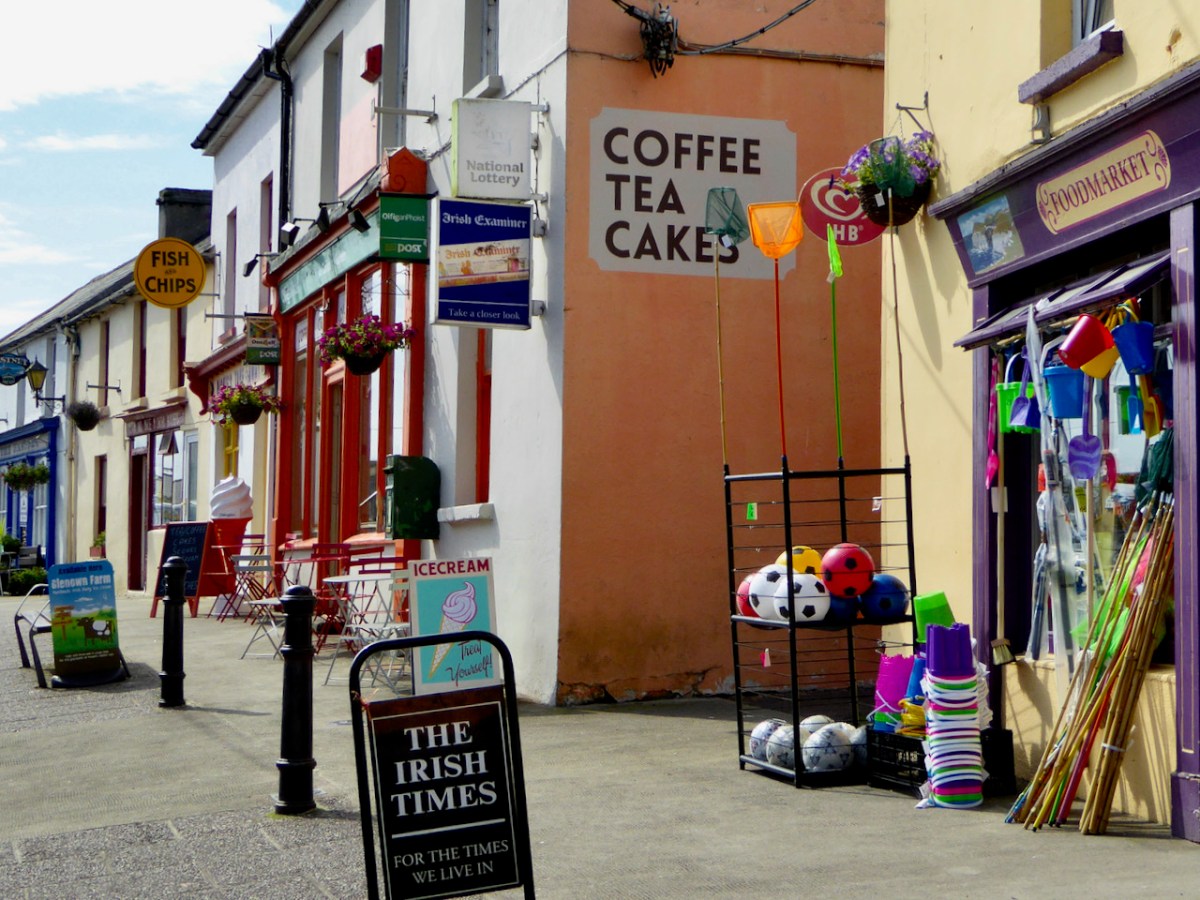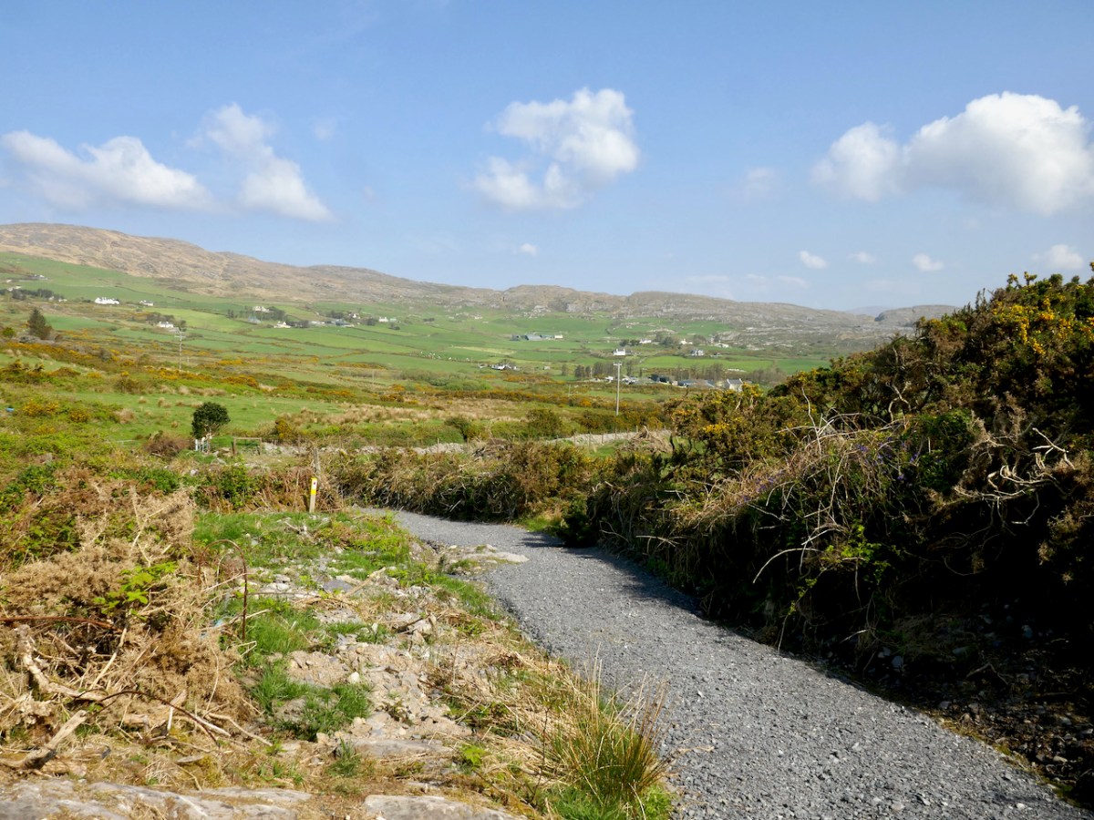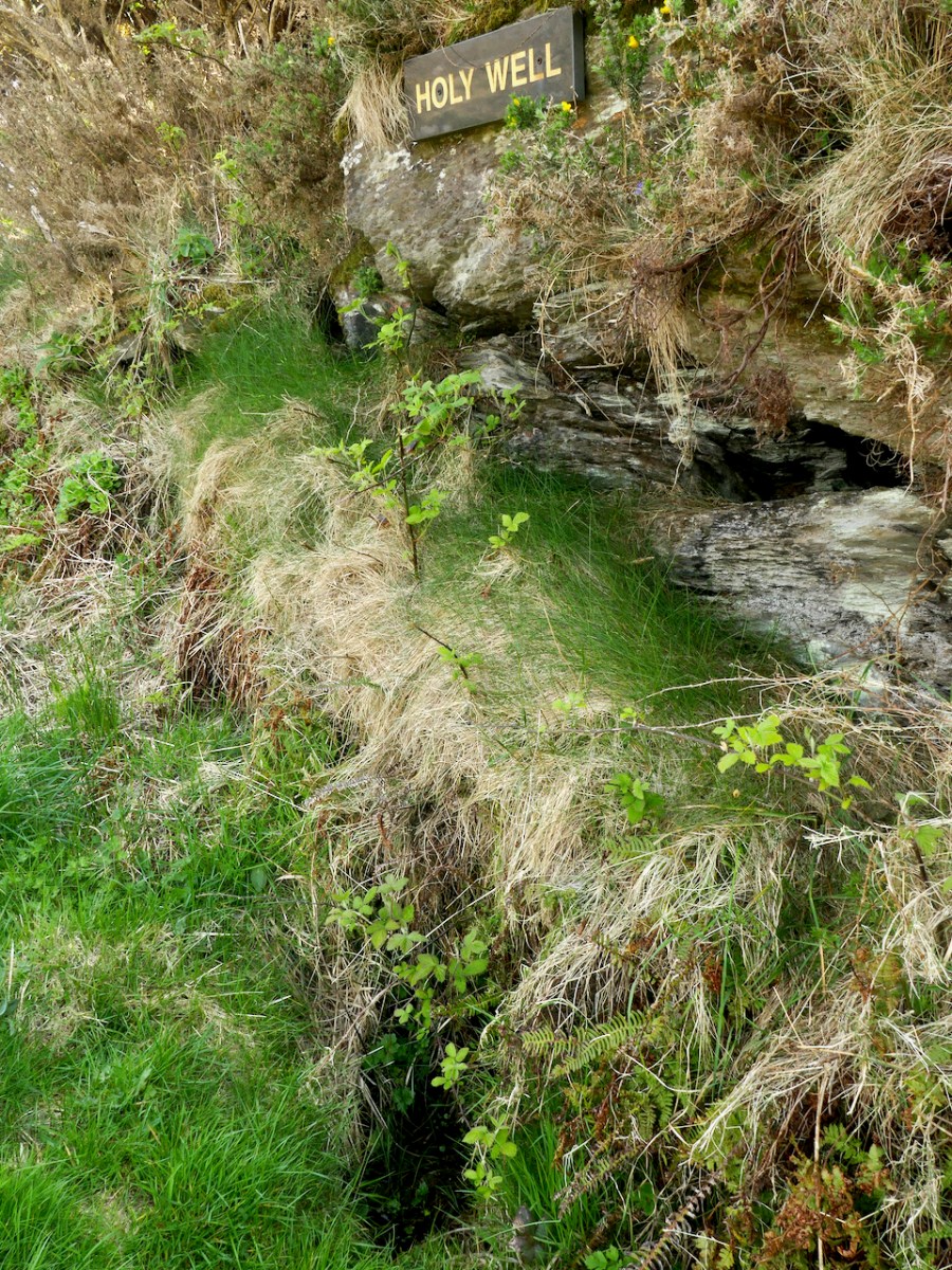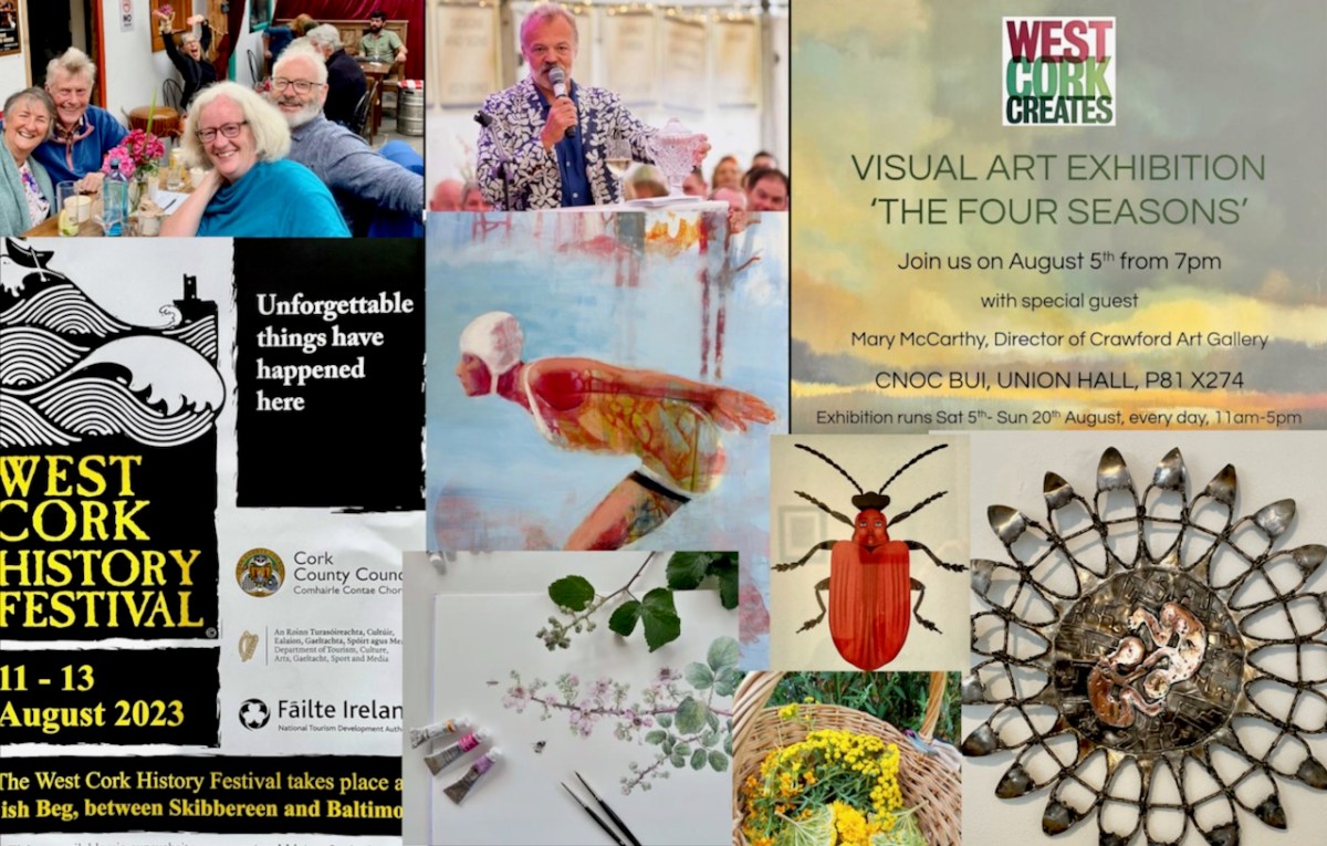
It’s August in West Cork and we’re going to need a holiday to recover! July was a blast – here are a few highlights – The West Cork Literary Festival (I was on stage at Future Forests as part of a joint Lit Fest and Ellen Hutchins Fest Seaweed and Sealing Wax presentation, to a large and enthusiastic audience; A Fusion Feast at Levis’s with good friends and cooked by Rob Krawczyk and, both with their own Award Winning Restaurants; the Launch of Holy Wells of Cork by Amanda Clarke; and a continuation of the high standards of exhibitions at The Blue House Gallery in Schull, with Oonagh Hurley, Catherine Weld and Shane O’Driscoll – including this rug designed by Shane and made by Ceadogán Rugmakers.
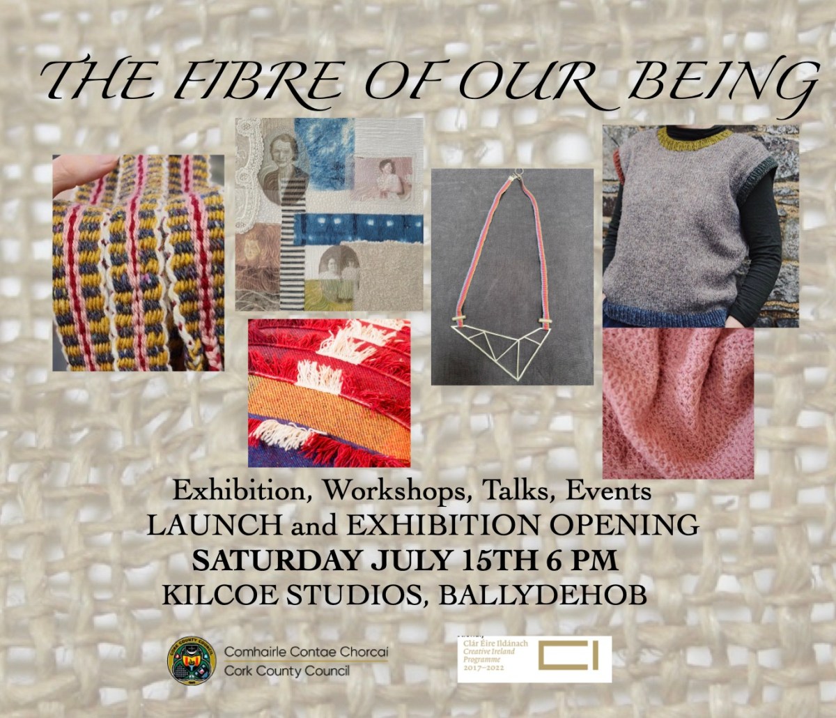
The wonderful Kilcoe Studios also organised an innovative series of events titled The Fibre of Our Being, “exploring contemporary textiles which draw on tradition to reinvigorate their process” and involving several different artists, including our friend and neighbour Liadain Aiken – see here for our post on Robert’s sweater.
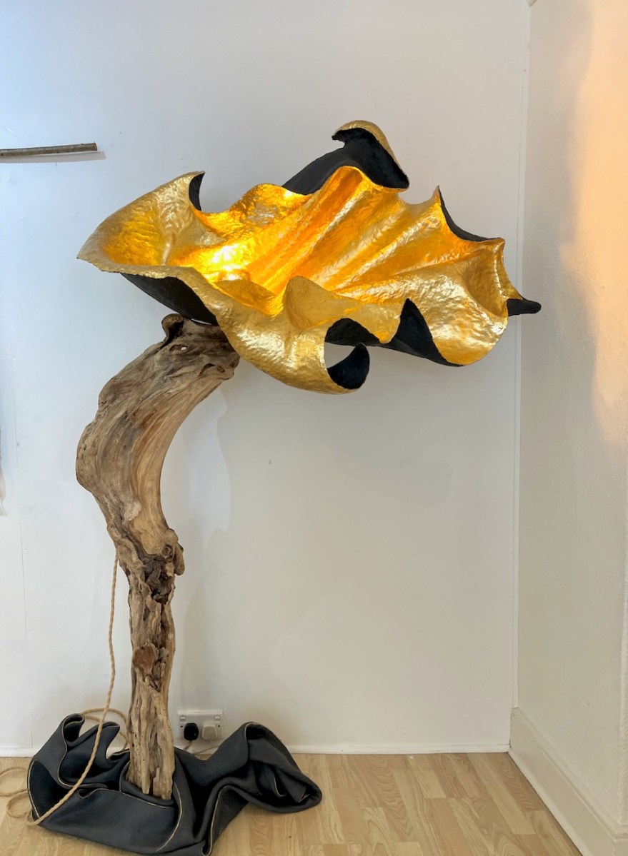
August started with the 10 Hands Exhibition at the Working Artists Studios. 10 Hands is the brainchild of Angela Brady, architect, film maker and craft historian. This year, the ten artists and makers have been joined by 6 more from the Working Artists Studios team, and the result is very impressive. Lots of variety here, and an exceptionally high calibre of vision and execution. I am craving one of the incredible standards lamps by Ania Surazynska – here’s one example. This artist is new to me, but I see a very, er, bright future for her. You heard it here first.
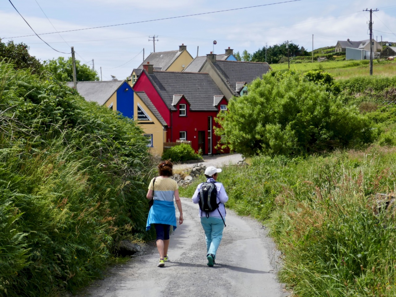
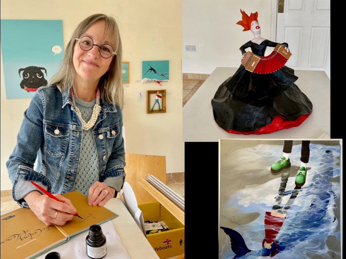
While we weren’t able to get to the opening last night, we are planning a trip out to Union Hall tomorrow for the annual and always-outstanding West Cork Creates Exhibition. This show has now moved to a marvellous new establishment, the Cnoc Buí Arts Centre. We visited last month and were delighted by the exhibition we found there, of sculptures, paintings and books by Nathalie Vessié-Hodges. Here she is signing one of her books for me (it was published by the Louvre!). A fairly recent blow-in to West Cork, I predict we will be seeing more of Nathalie.
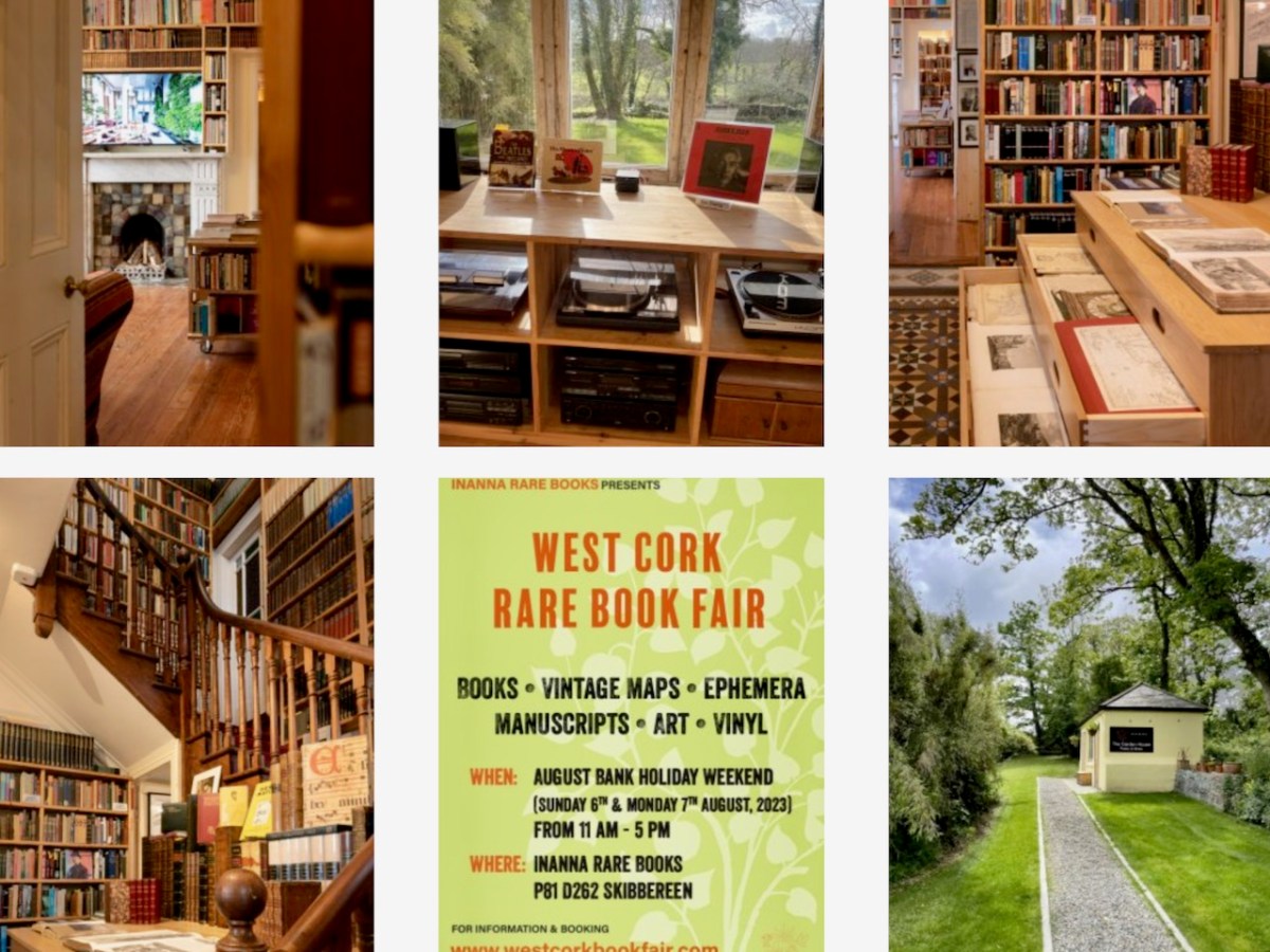
Also on our list for tomorrow is the West Cork Rare Book Fair – we attended last year at the lush Inish Beg Estate and this year it is being held at the home of Innana Rare Books just outside Skibbereen. Doesn’t this look inviting? (It’s a screenshot from the Innana website – thank you, Holger and Nicola!)
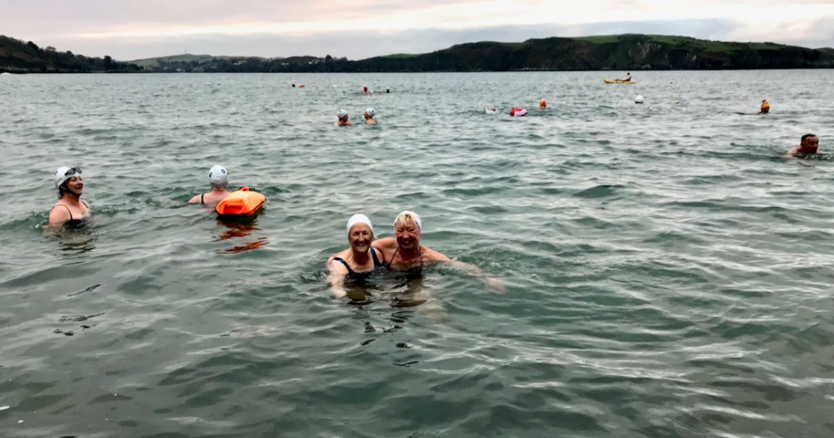
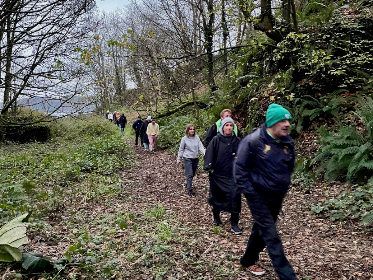
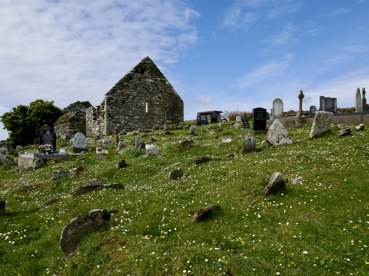
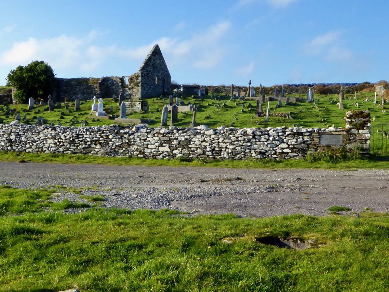
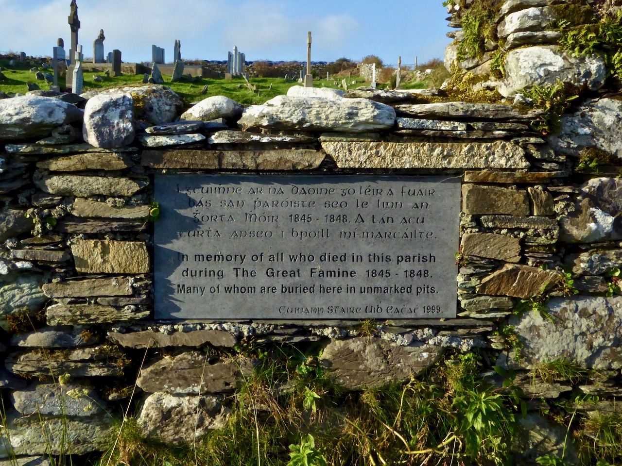
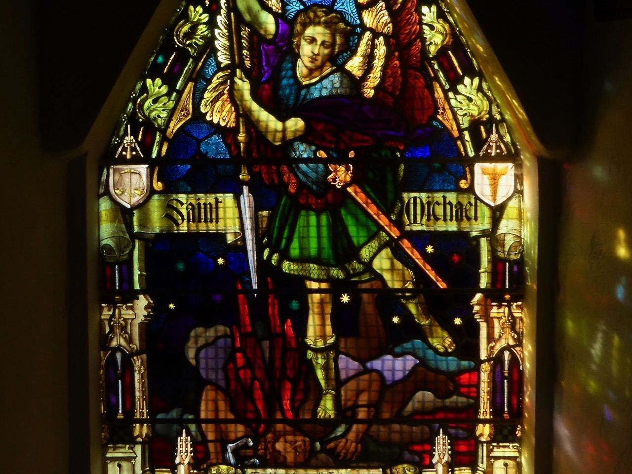
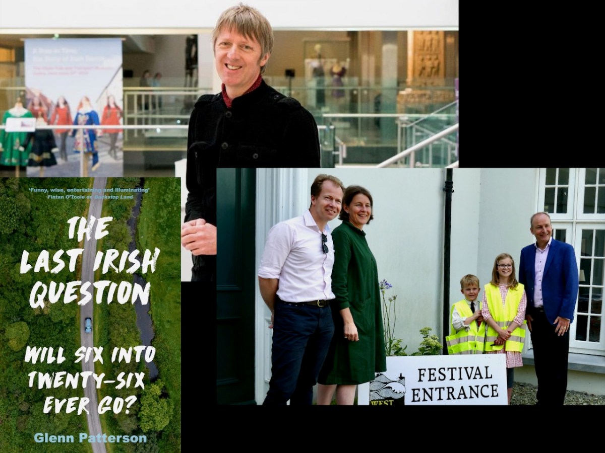
And then it’s right into the West Cork History Festival. Robert and I have organised the field trips, and we are looking forward to our own contribution to those – a tour of the historic Church of St Barrahane in Castletownshend. There are several other options – including walks and swims with Gormú, a walking tour of Ballydehob (oops -sold out!) and an historical Kayak trip through Castlehaven. The Program of Talks features leading academics and writers, and there’s a hot rumour that Micheál Martin will do the opening honours. I’m particularly looking forward to Friday night’s opening session with writer Glenn Patterson who will be in conversation about his latest book The Last Irish Question: Will Six into Twenty Six Ever Go? followed by a panel ruminating on what we have learned from the Decade of Centenaries about our past and our future.
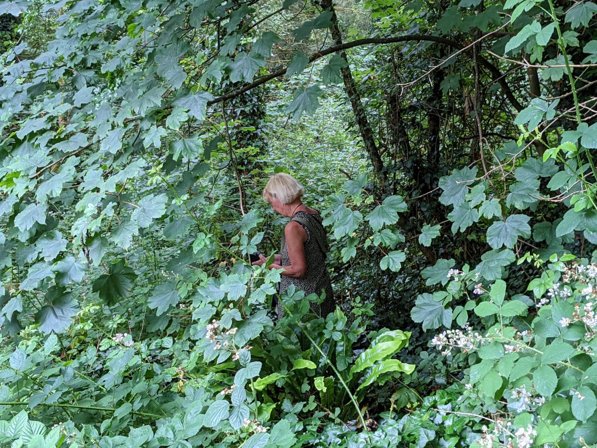
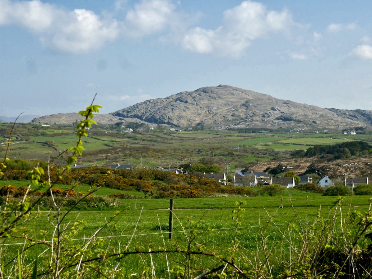
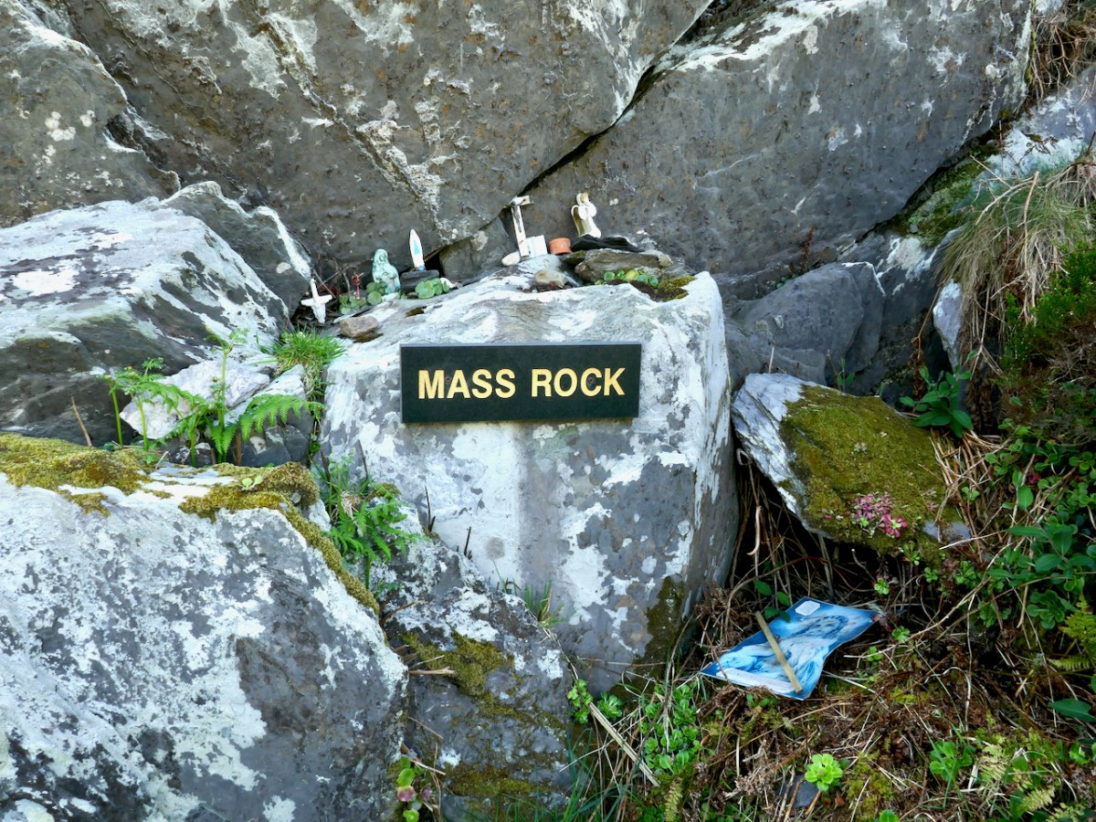
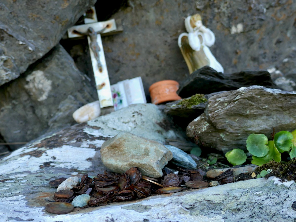
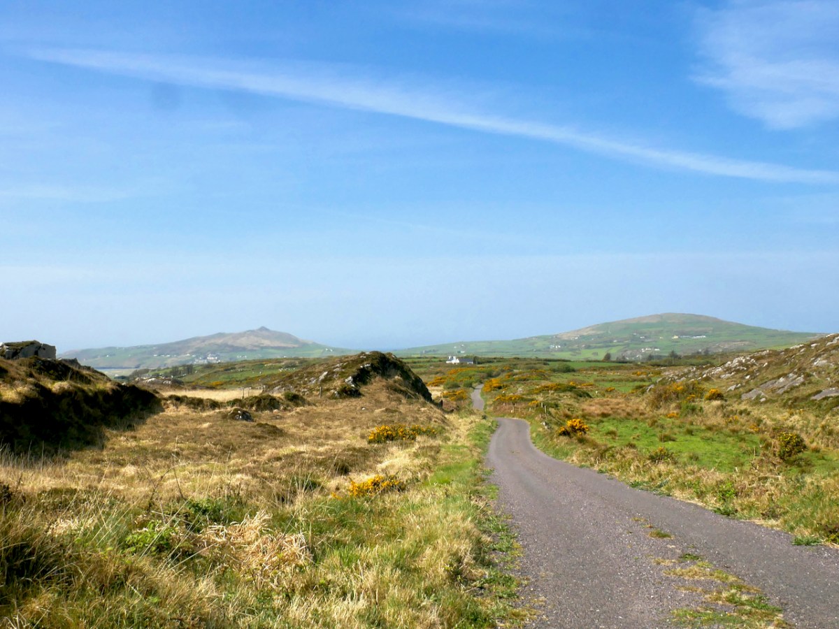
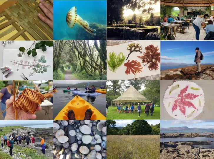
For history buffs, you just can’t beat this Festival, this year in the magical surroundings of Inish Beg Estate. As soon as it’s over I will be hot-footing it to the events of the Ellen Hutchins Festival – a feast of delights for anyone even vaguely interested in the natural world, inspired by the life and work of Ireland’s first female botanist. I’ve signed up for several events – lots of them are free and many are suitable for children.
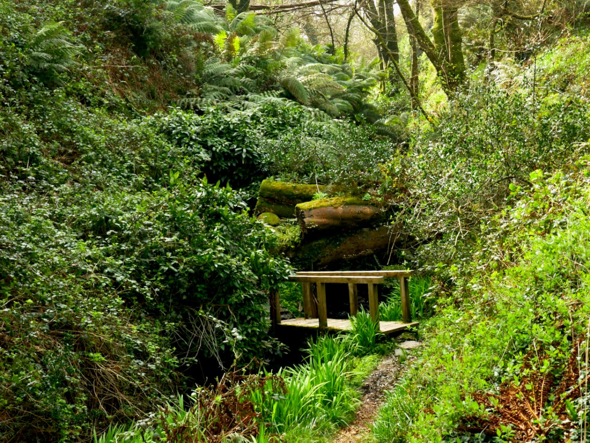
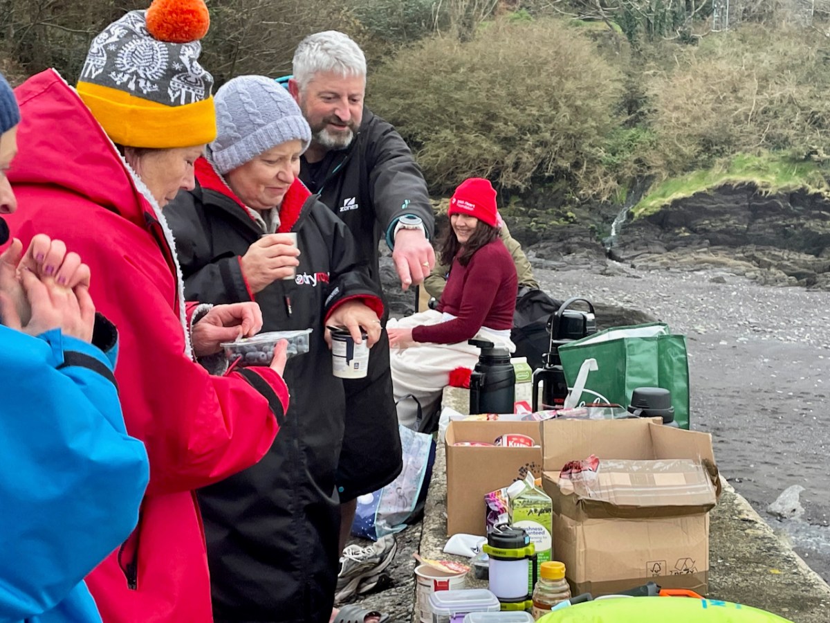
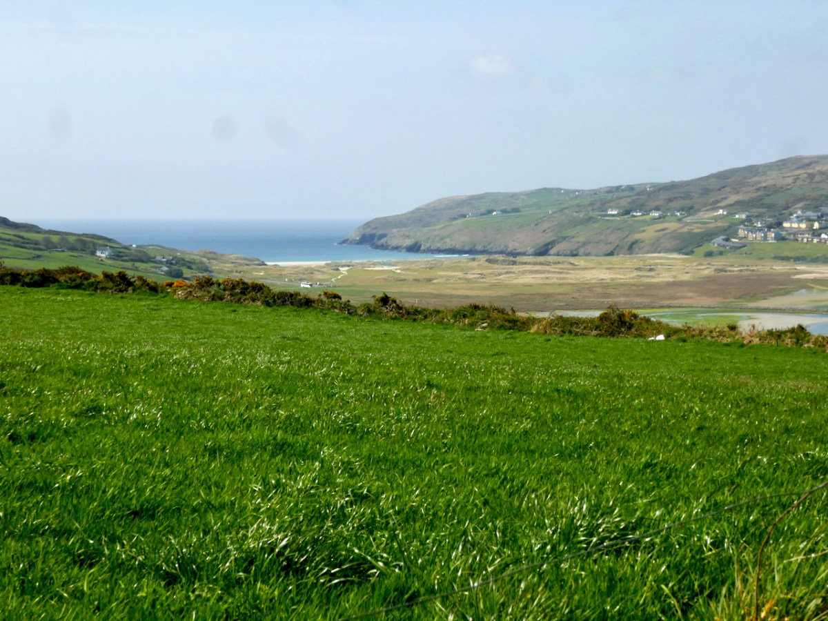
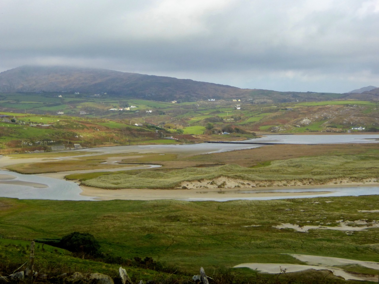
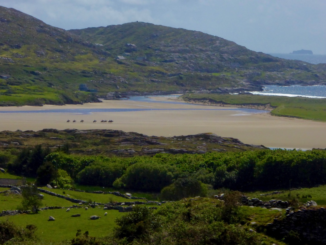
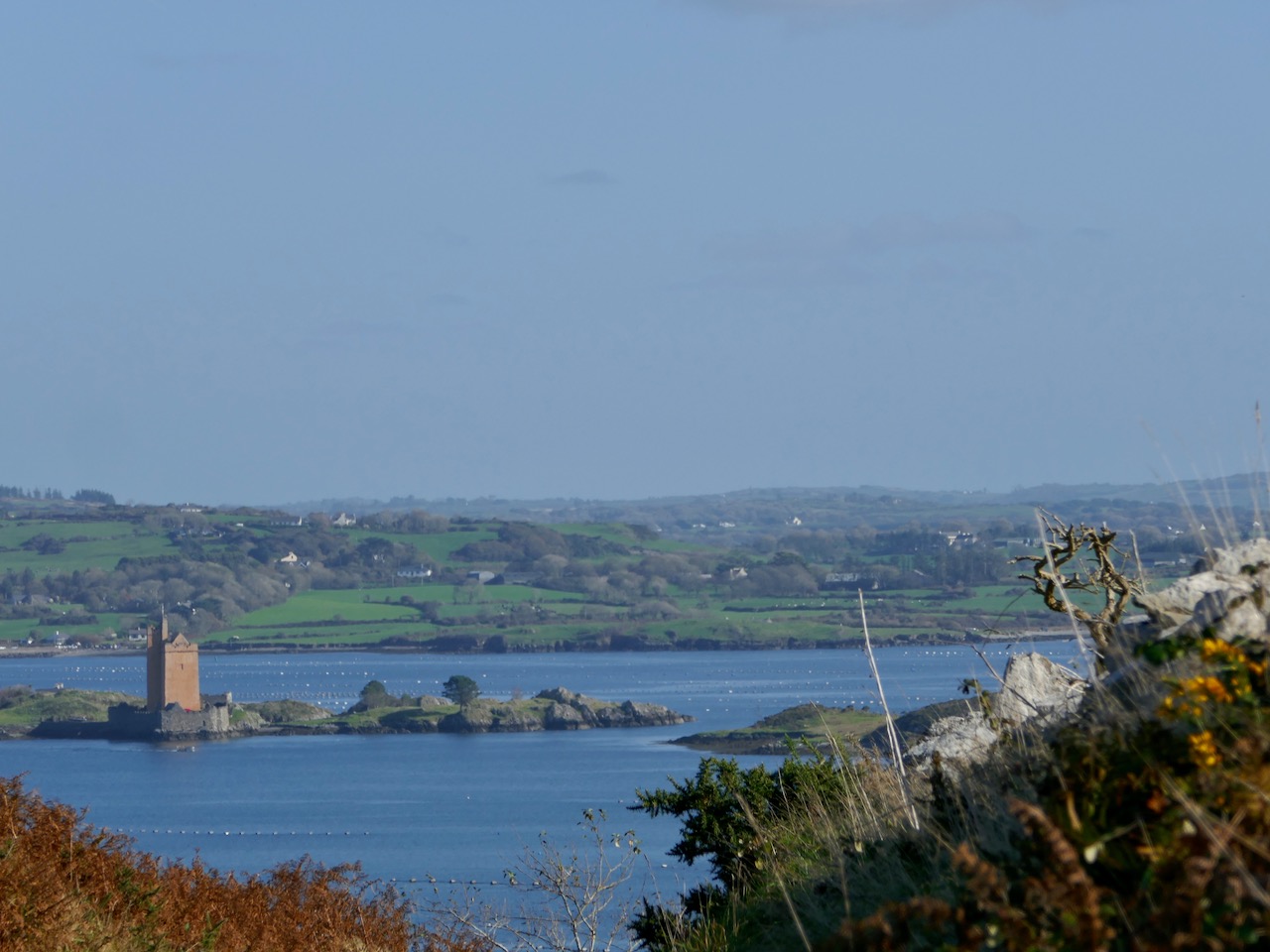
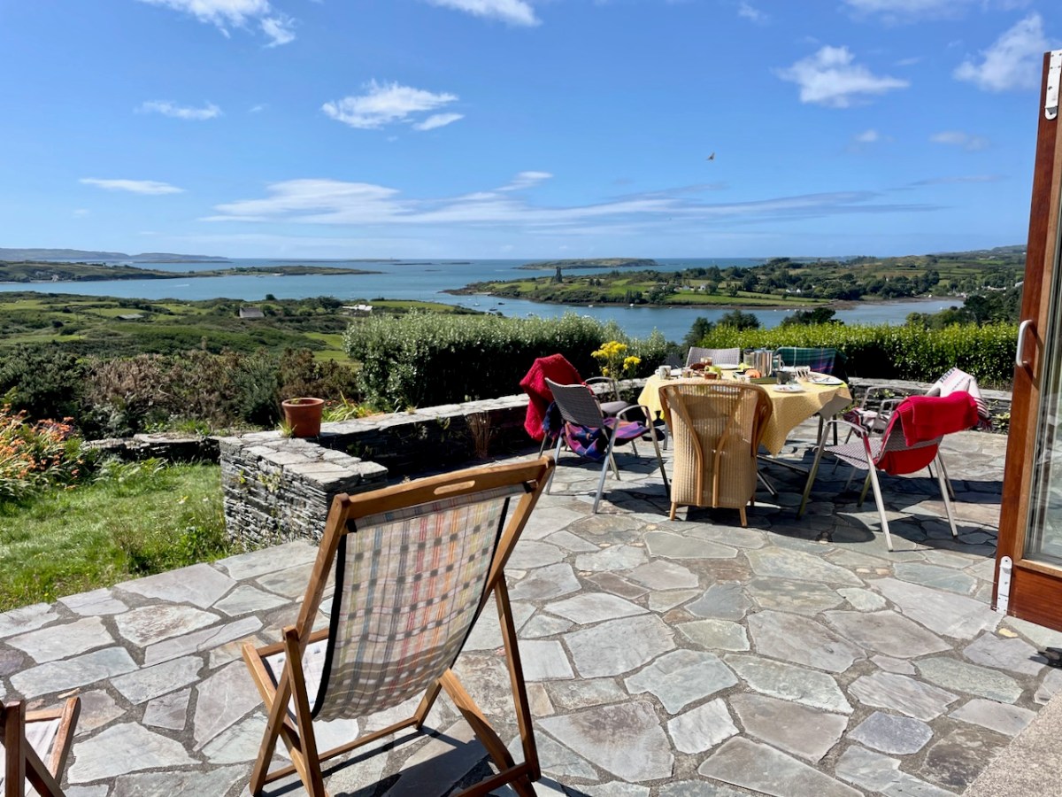
And once all that is over, I might just have to retire. Wait, what? I AM retired, I hear you say? Ah – so no excuse needed to do more of this – having leisurely lunches overlooking Roaringwater Bay?
Oh – you have another question? What’s Graham Norton doing in the top photo? That’s easy – he lives part time in Ahakista on the Sheep’s Head, and there he is, doing his stint as Quizmaster at the annual Ahakista Festival this weekend. We attended one year and it was predictably hilarious.