Ten Years!

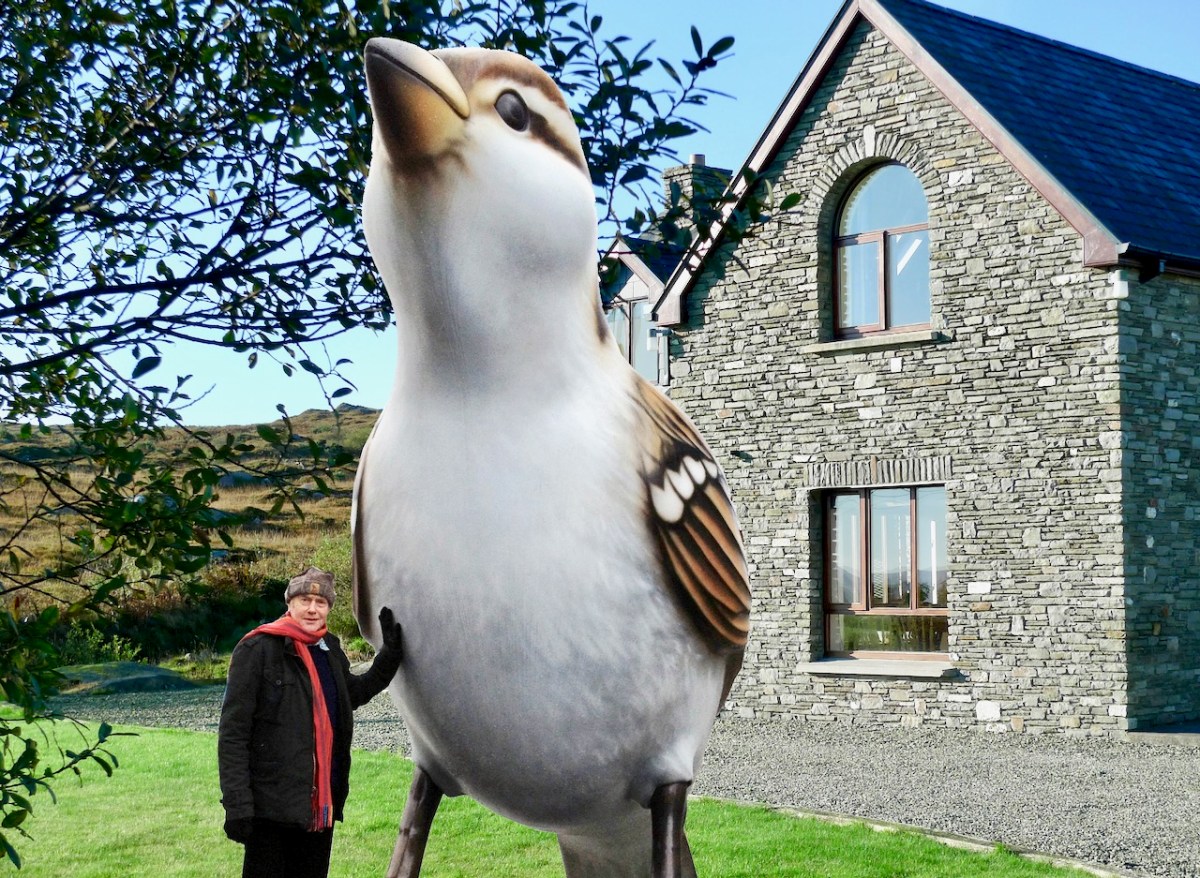
Why have we chosen this photograph to head up our ten year anniversary blogpost? That’s simple: the pic was taken on 15 October 2012. We had moved into Ard Glas – just outside Ballydehob – for a six-month rental to see how we liked West Cork!

But – what about the giant sparrow?

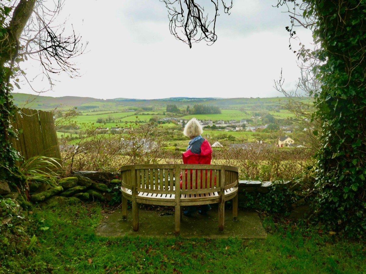
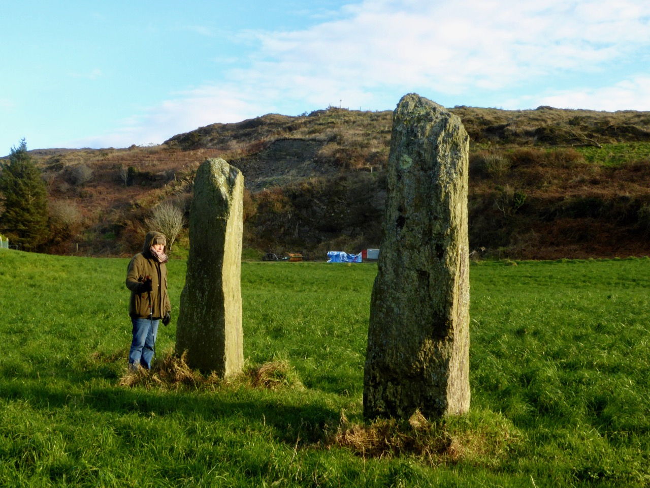
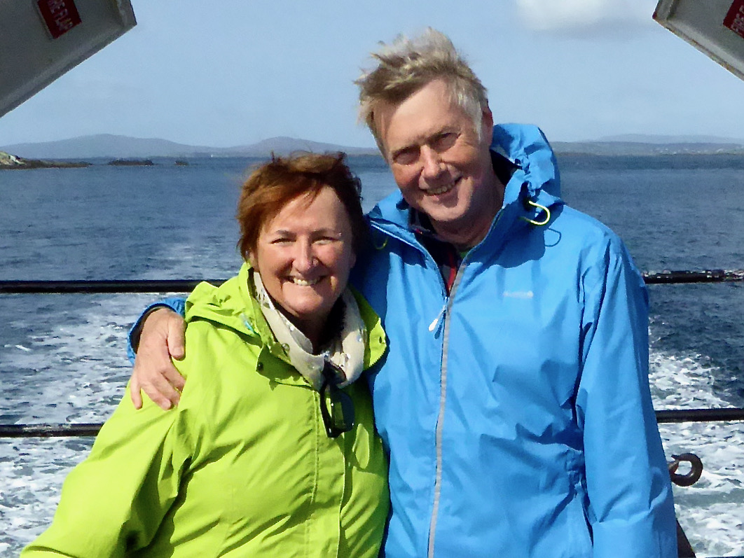
Wait a minute. We very obviously ended up liking West Cork so much that we bought a house in Cappaghglass (the townland next door to Ard Glas), and have stayed there ever since. As you can see, we have been thoroughly enjoying ourselves over the last decade:

Yes, but, that very large sparrow…?

Be patient! Believe it or not, we have kept the blog posts going, with hardly any interruption, ever since. This is Roaringwater Journal post number 968. In the last decade, our Journal has been viewed over 1.5 million times and we have acquired over 5,700 followers between our various platforms.

Our posts are all still there in the archives – and you can still read them. Search by using the three-bar icon on the home page and select All Pages-Navigation, or one of the other menus. Alternately, press the cog button under the Roaringwater Journal title at the top of the page, then scroll down to Archives. Roll down through all the months. Or enter a search term into the magnifying glass symbol next to the cog. That will show whether we have mentioned your chosen subject in any of our blogs. We warn you that some posts (especially the very early ones) haven’t survived the test of time perfectly: but we leave them in there because it’s all a bit of history.

Sparrow?

Hang on! Of course, things change a bit as the years go by (although we don’t*). We have varied the layout of the blog, and the header etc. We had thought of refreshing it all again to celebrate this milestone but… ah, well – perhaps for the twentieth anniversary.

Sp……..?

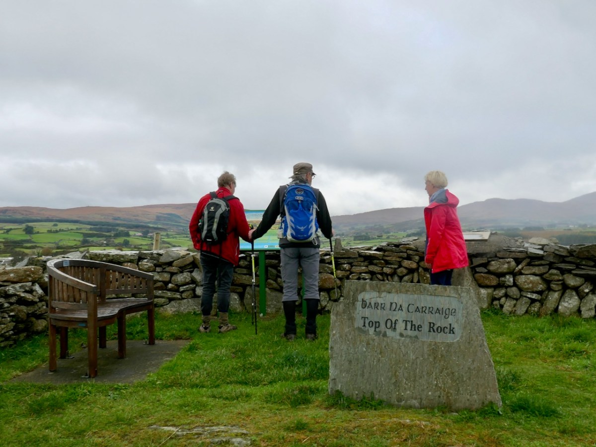
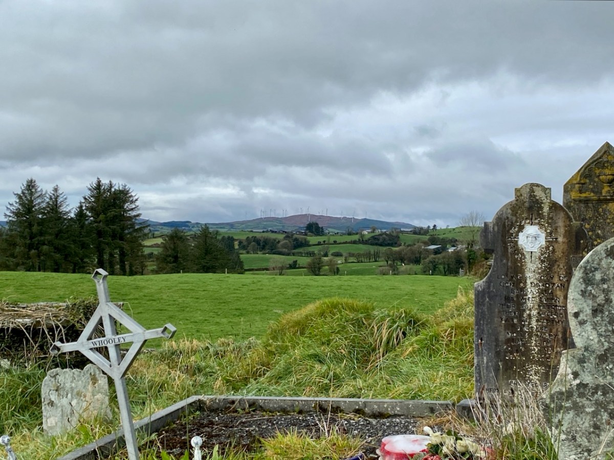
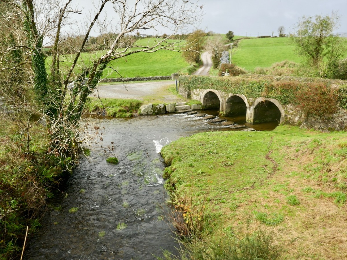
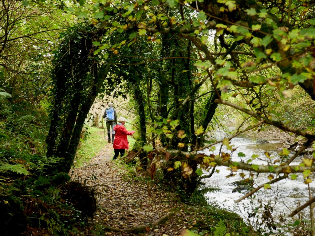
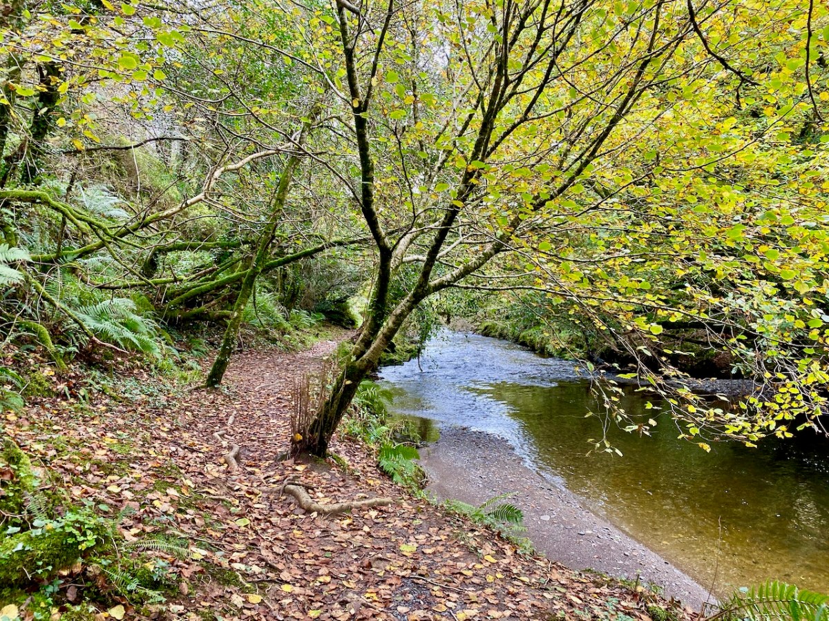
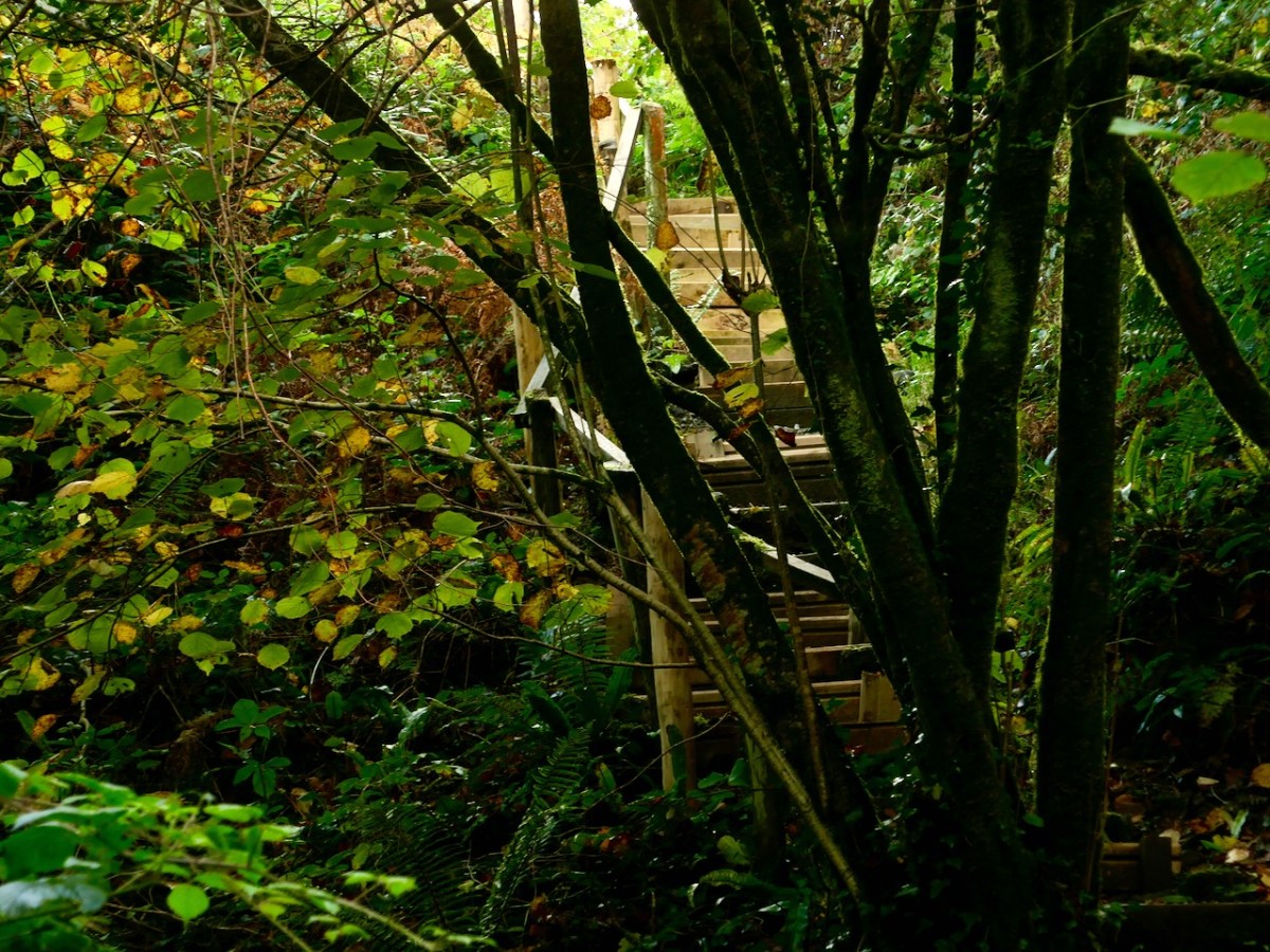
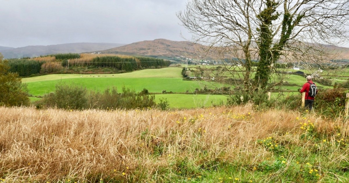
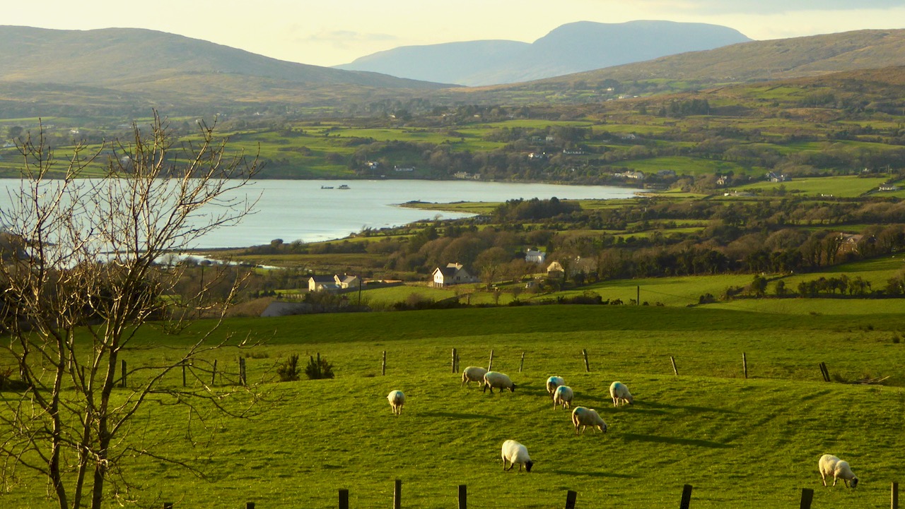
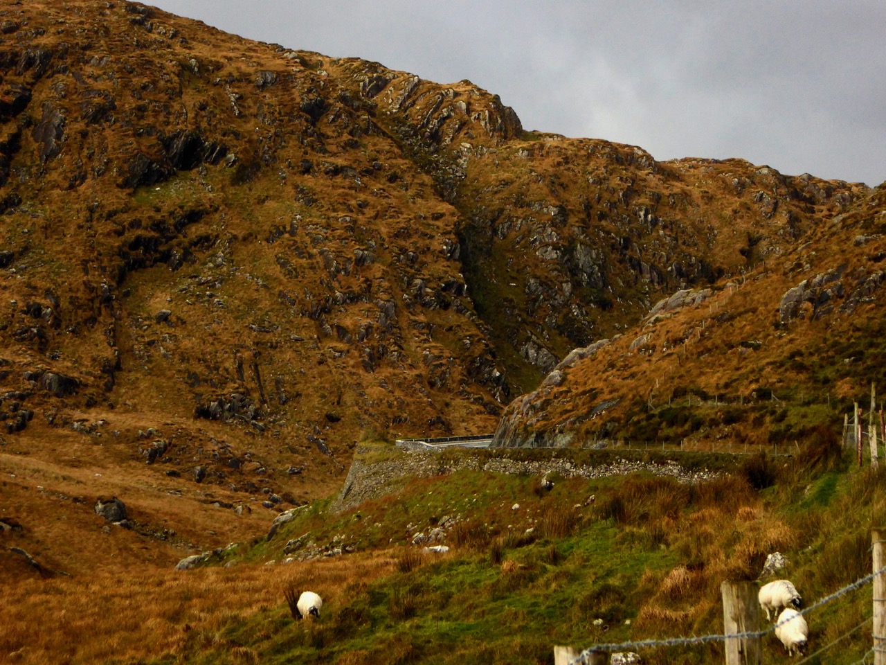
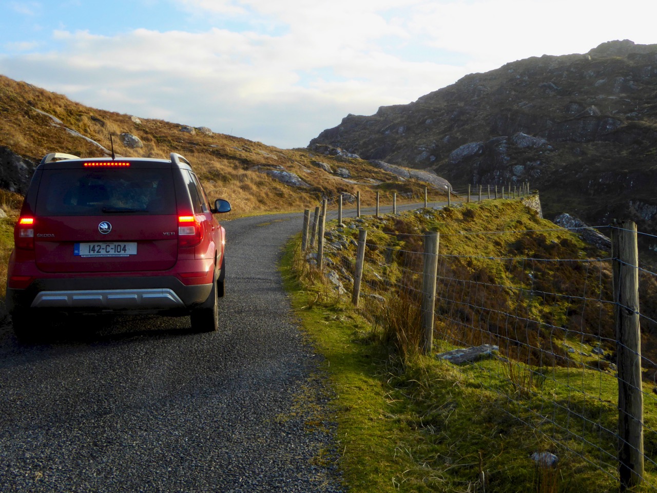
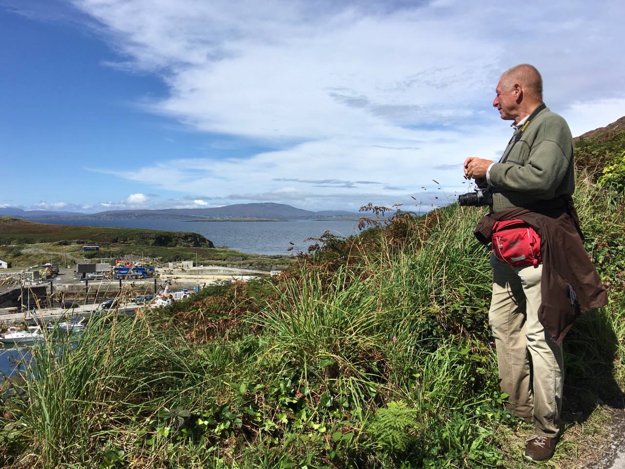
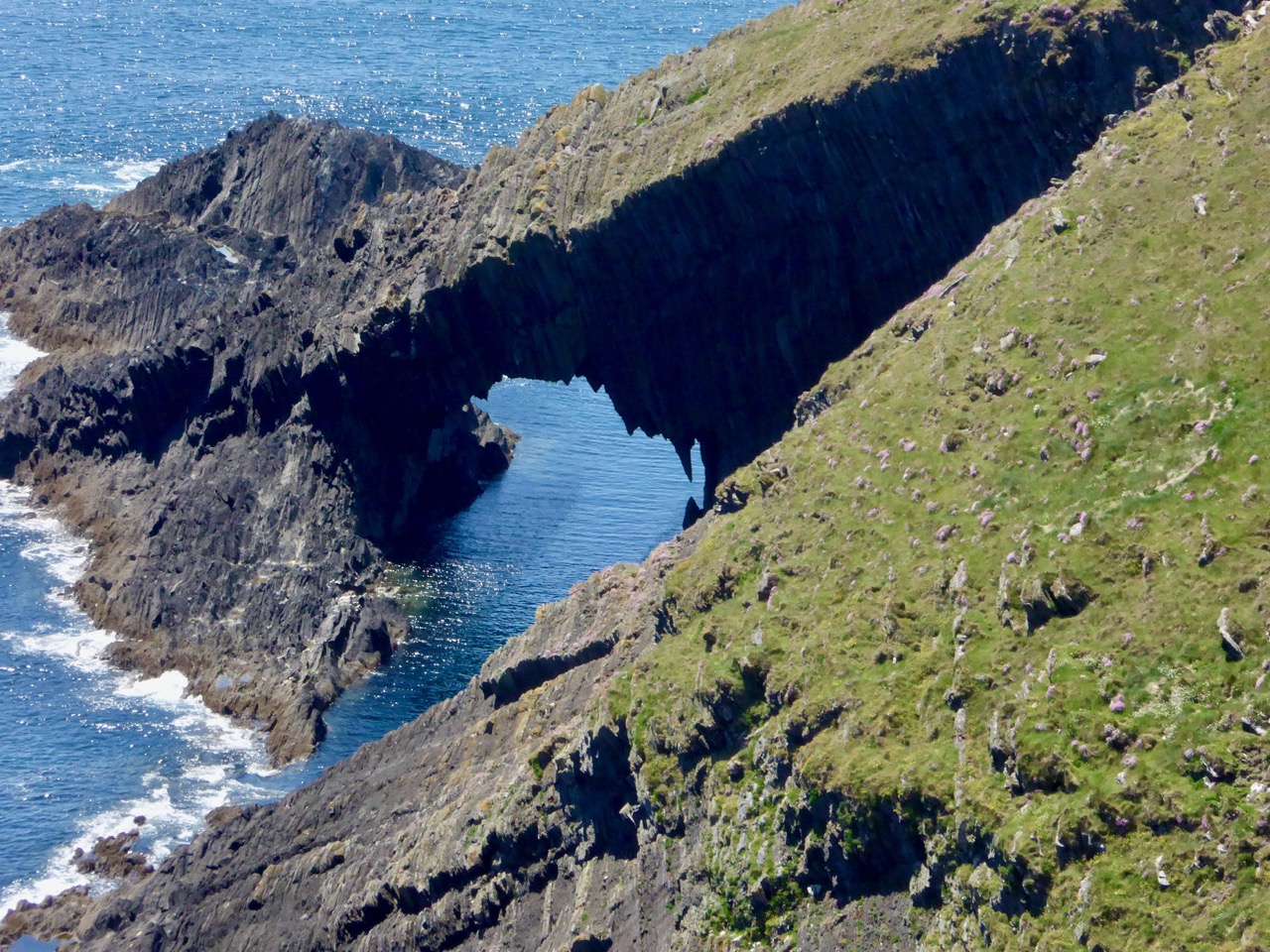
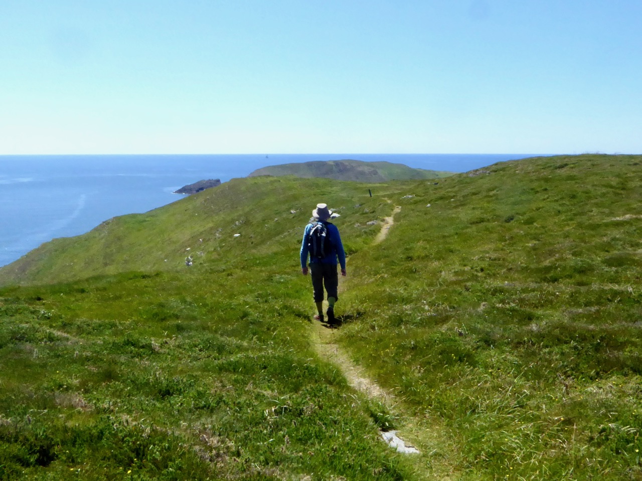
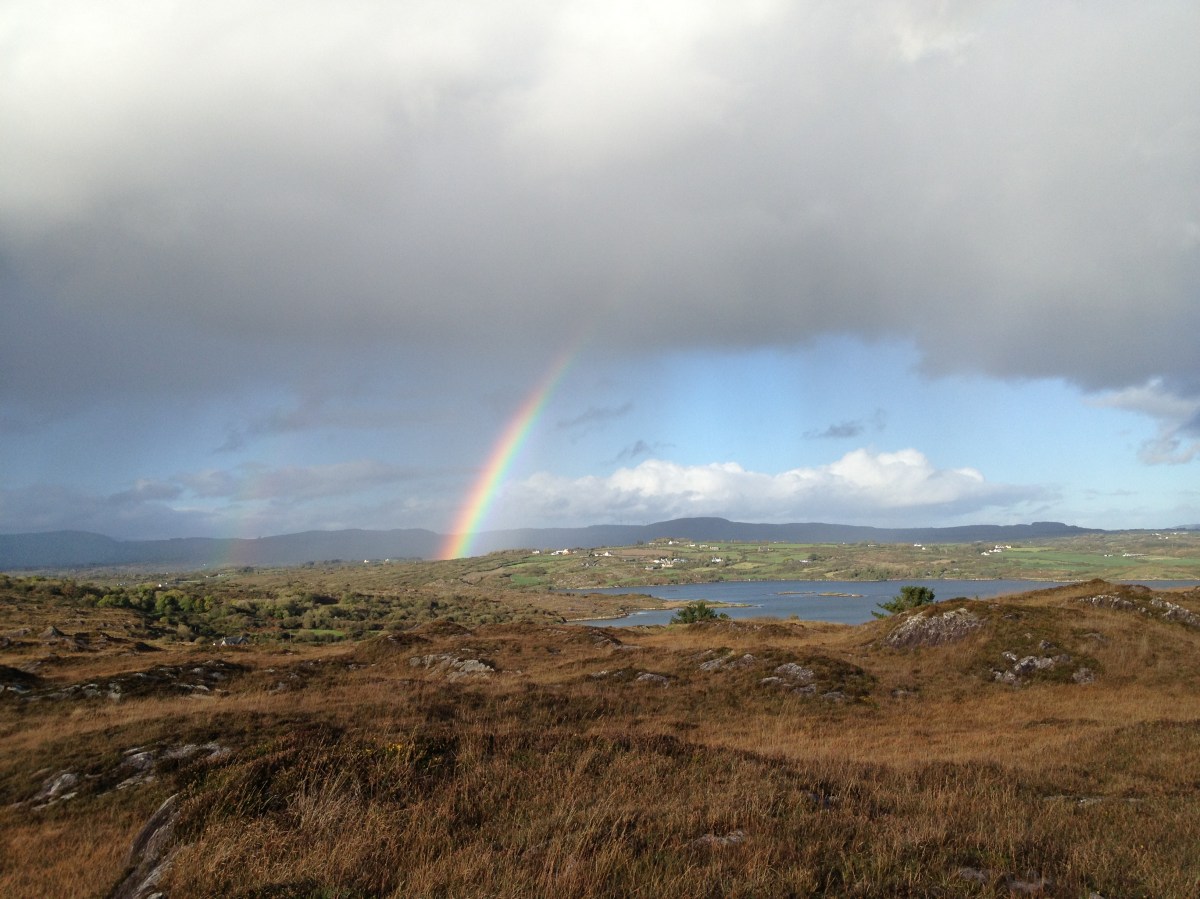
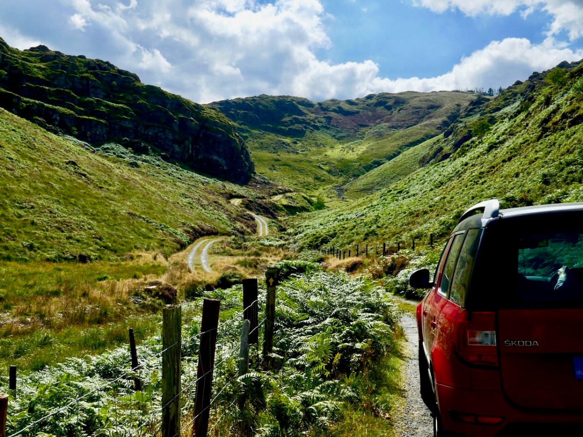
Another pic from 2012 (above) showing mixed weather conditions over Roaringwater Bay. It hasn’t always been sunshine here (have a look at this) but it always feels sunny to us – or just about to be sunny. One of our newest posts -here – shows us doing what we like the most, and always have: exploring remote and often forgotten West Cork byways.

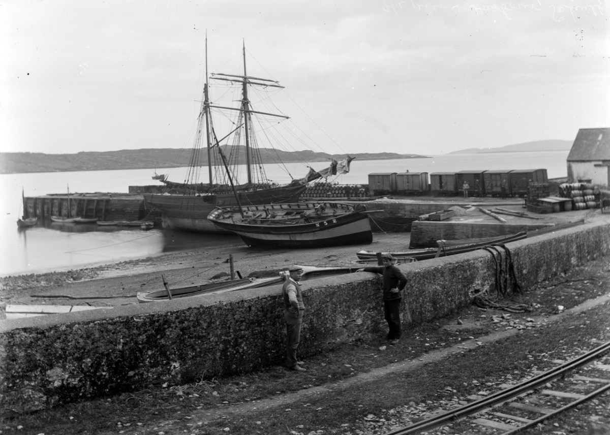
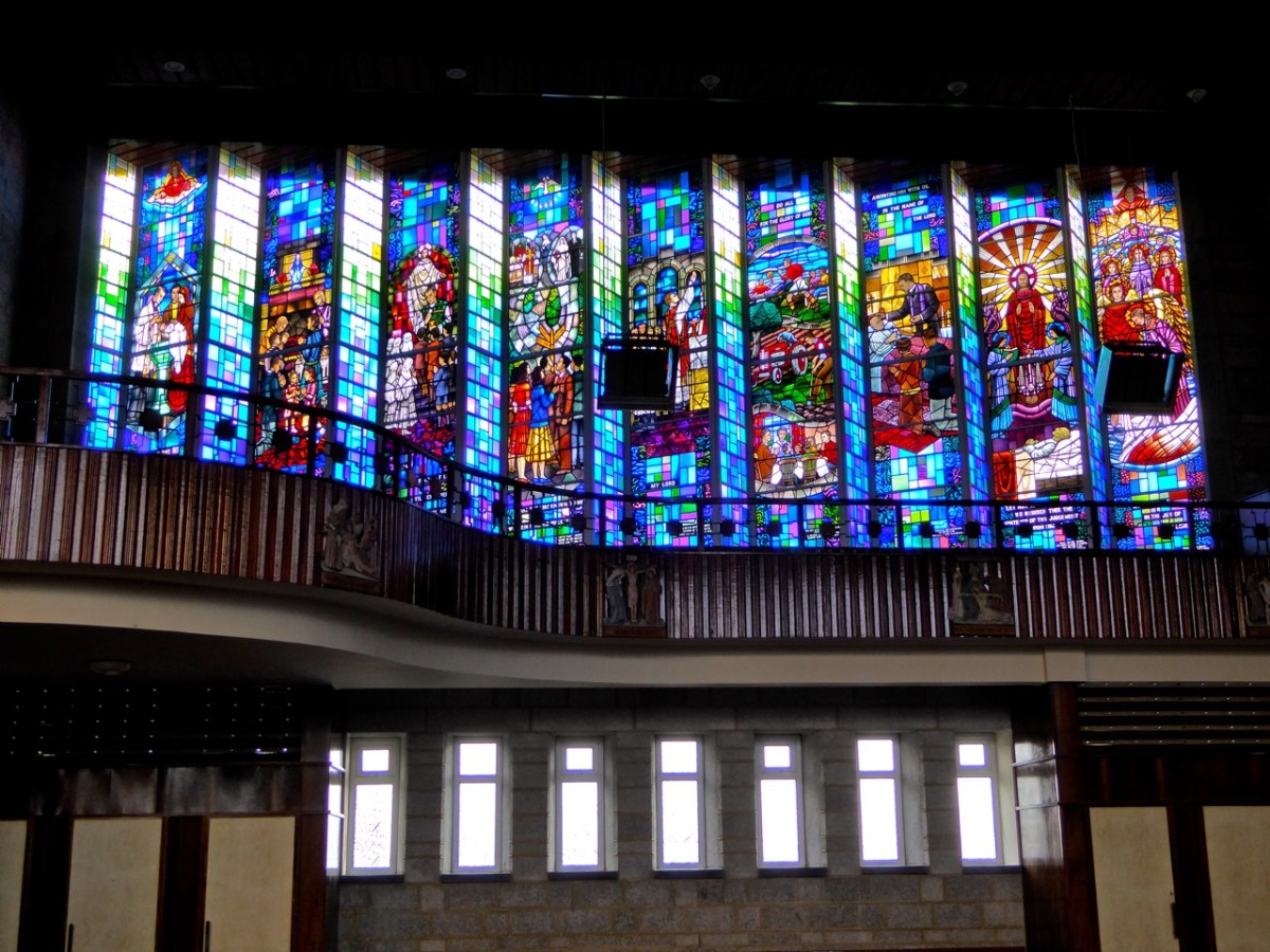
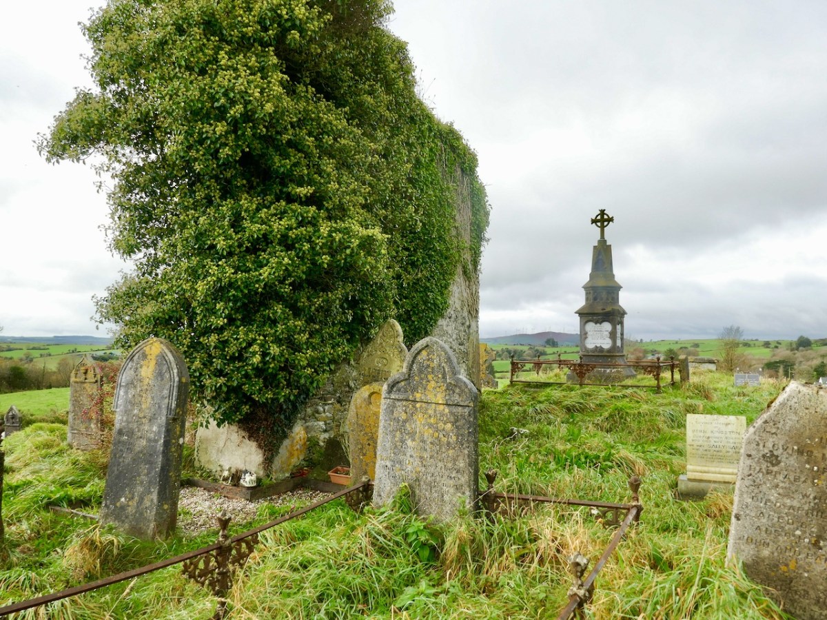
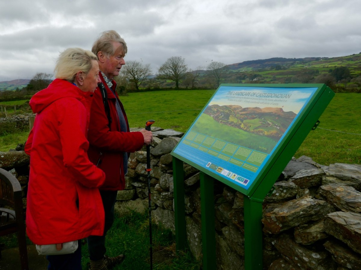
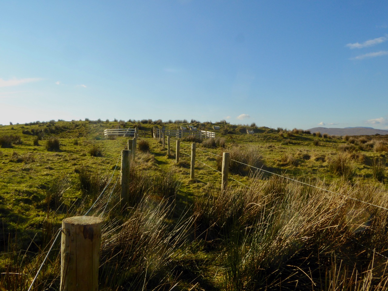
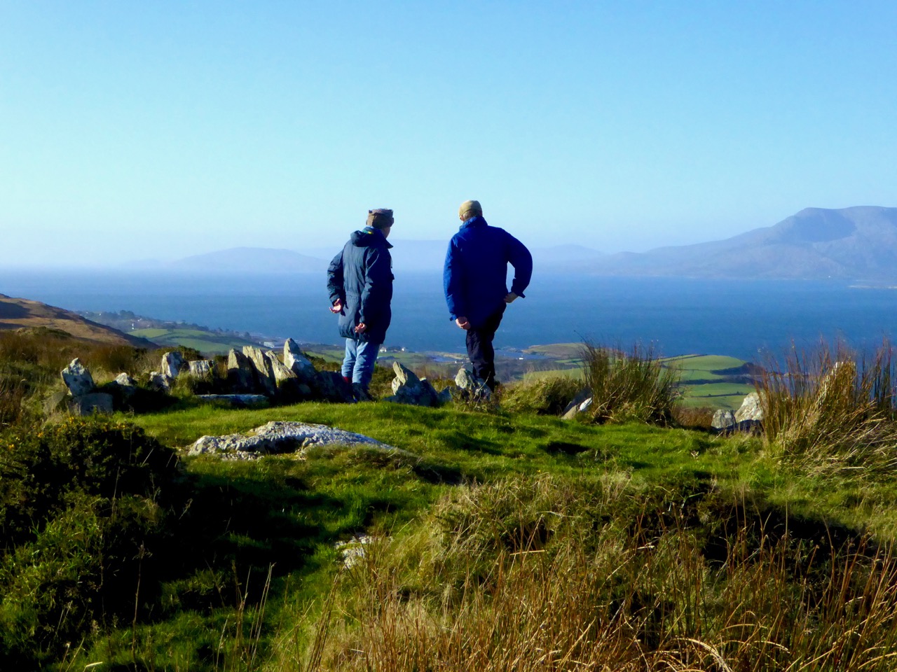
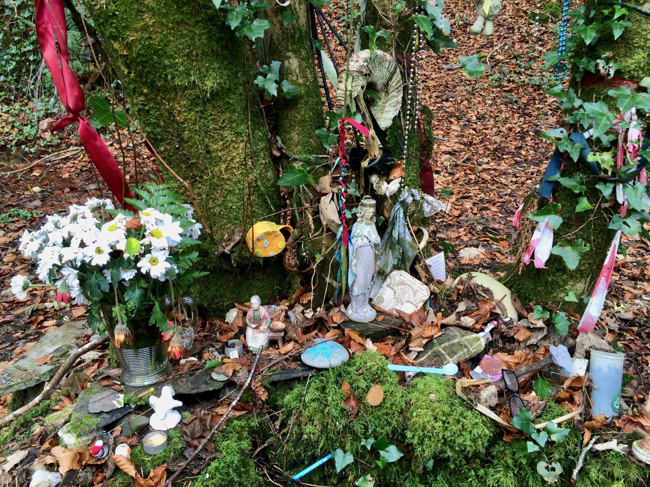
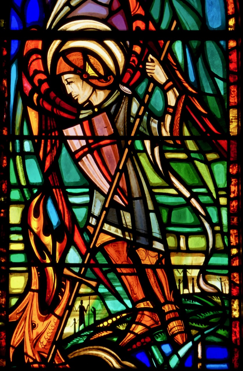
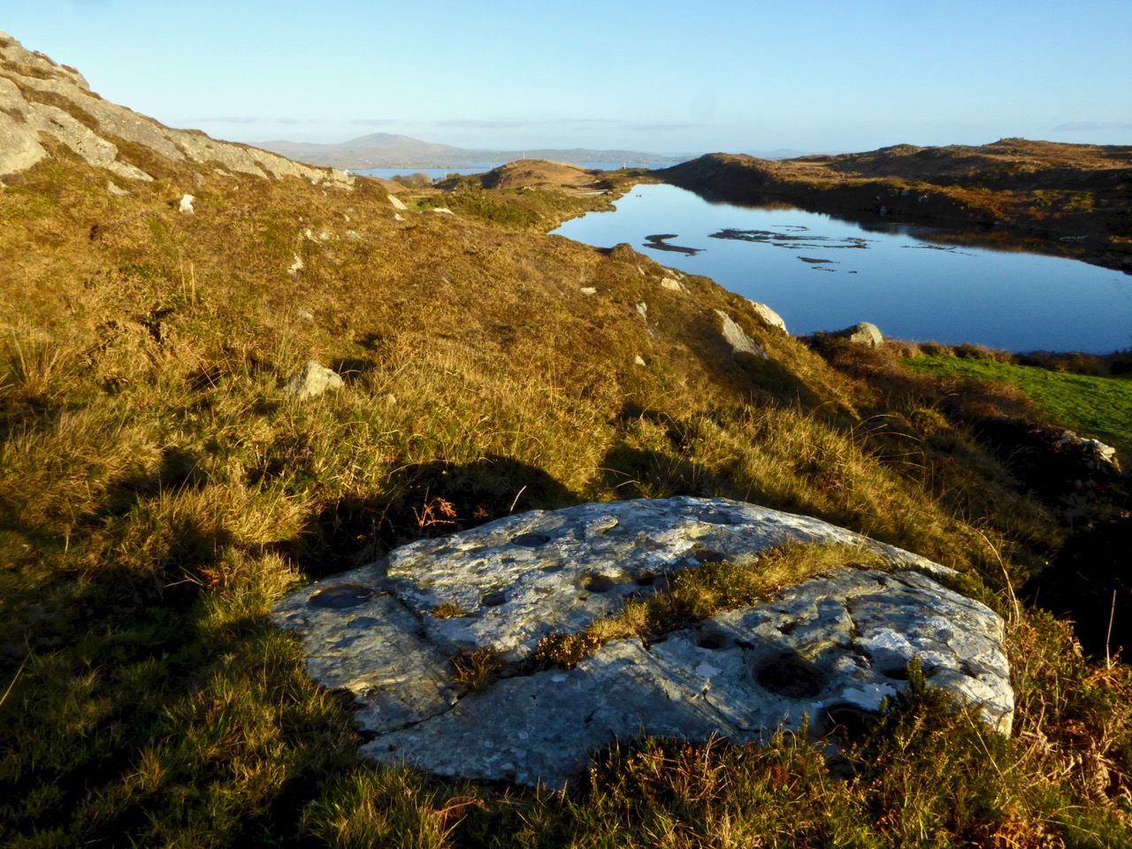
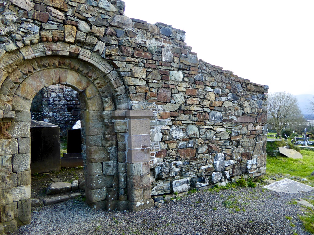
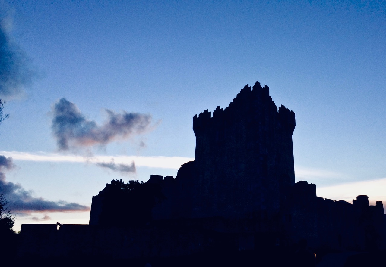
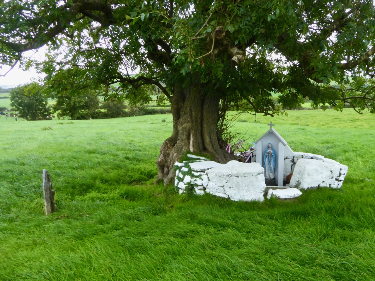
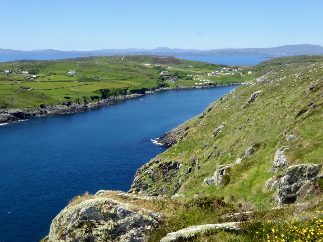
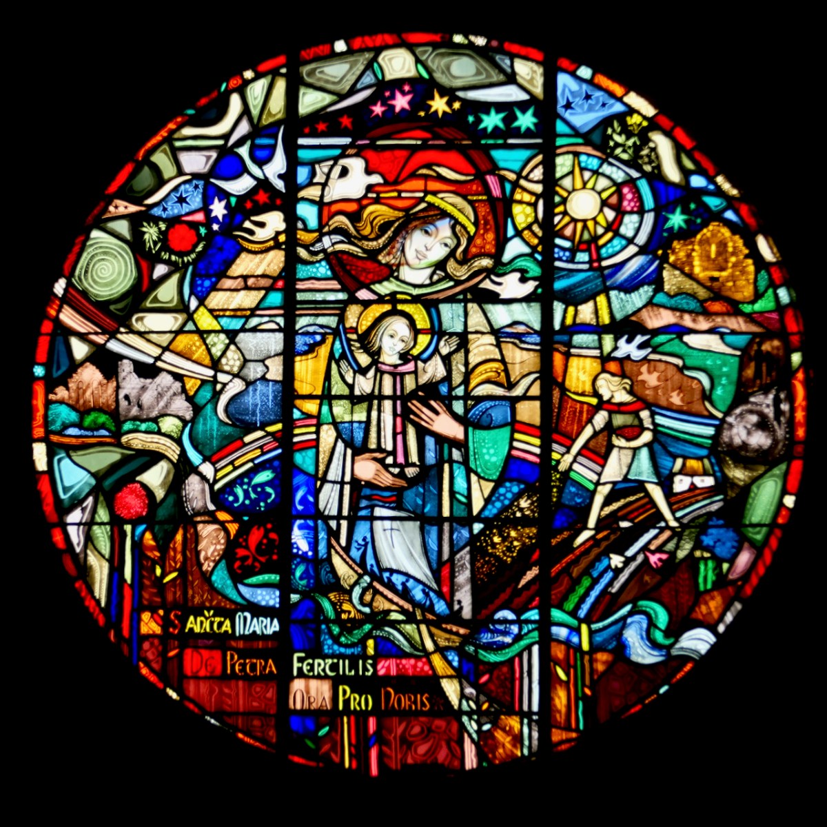
Our regular readers will know that, over ten years, we have developed our interests to take in history, archaeology, rock art, stained glass, architecture, topography, folklore, wildflowers, art and culture, landscape and language… and very much more. We share our adventures often with Amanda and Peter Clarke, our fellow bloggers and friends – see Holy Wells of Cork and Kerry and Hikelines.

What of the next ten years? Well, we are trying to be innovative. This week we have introduced a ‘guest post’ for the first time: this one, by our friend Brian O’Riordan, explores the exploits of an intrepid 79-year old woman who sailed solo across the Atlantic to Ireland in 1994 , which falls right into our own interests, and – hopefully – yours too.

S…………..?

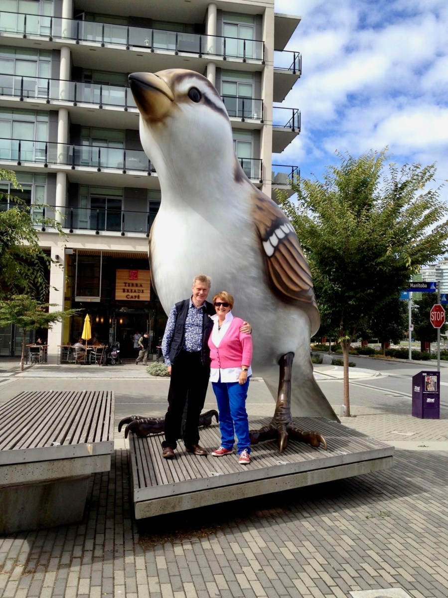
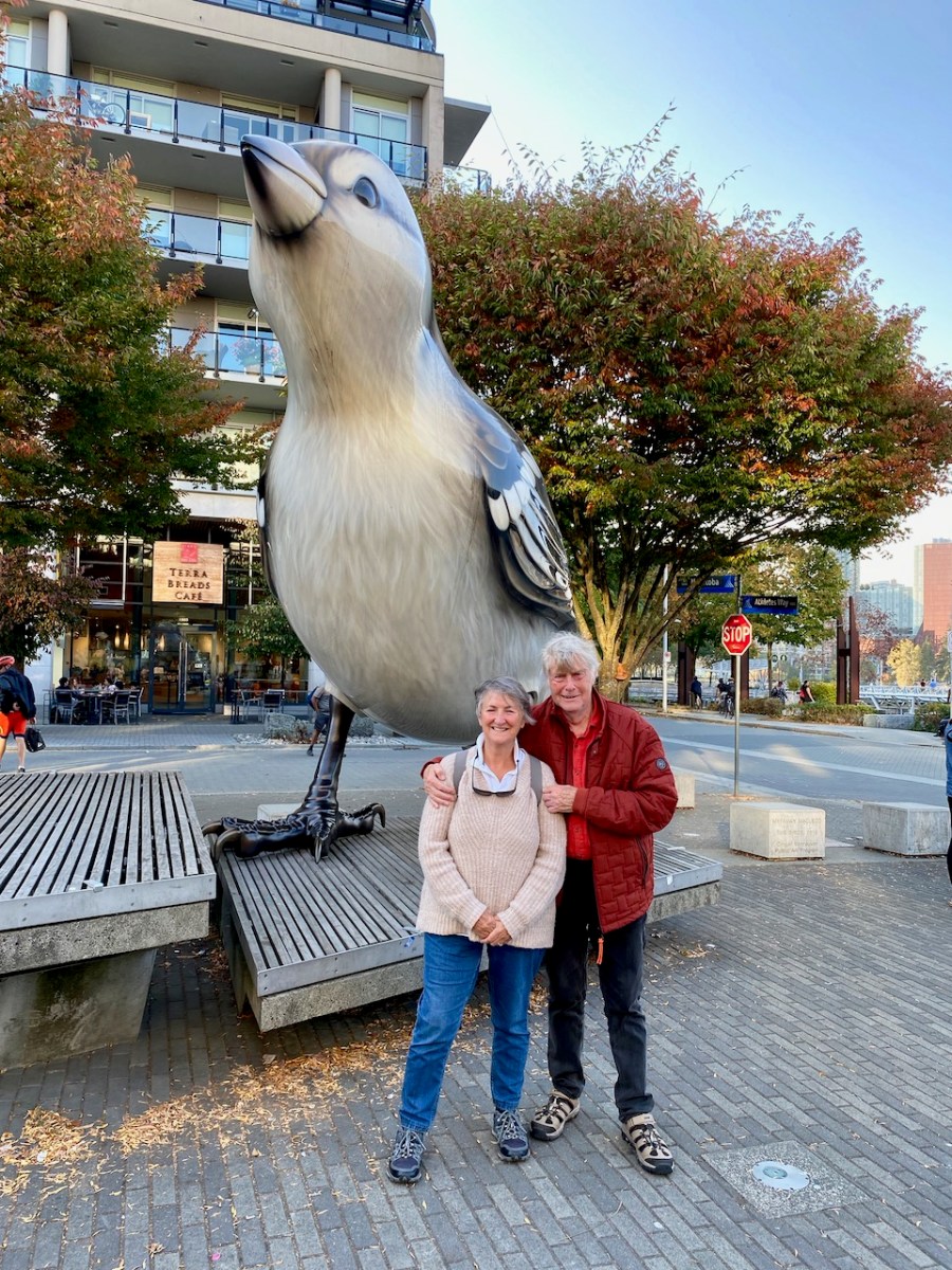
Ok – we have got the message! About the sparrow, that is. The original giant sparrow is one of two (a male and a female) which were created for the Olympic Park in Vancouver, Canada, in 2010 by the sculptor Myfanwy MacLeod. One was transported by our own photo magic to Ard Glas! Perhaps they are not relevant to West Cork, but they are meaningful to Finola and Robert, as we saw them together in Canada ten years ago – pic below. We have just recently returned from a visit to Canada, enjoying a long-awaited catch-up with Finola’s family there. We made sure to record our presence there with another photo-op (below the below).

* Hopefully this demonstrates how youthful we remain, imbibing as we do the stimulating West Cork air. Here’s to the next ten….!

Walking West Cork – Top of the Rock

When we could still walk within the boundary of our own county – and in company – we went with our friends Peter and Amanda in the footsteps of a saint! The walk from Drimoleague to the Top of The Rock – and beyond – is one which has been on our ‘to do’ list for a long time, not least because the first person to do it was our own Saint Finnbarr, founder (in 606AD) and patron saint of Cork city. The motto of University College, Cork is Ionad Bairre Sgoil na Mumhan which means ‘Where Finbarr taught let Munster learn’.

Finbarr is also famous for establishing a monastic site at Gougane Barra in the sixth century, and today you can follow St Finnbarr’s Way all the way from the Top of The Rock to that magical lake in the mountains where you can find an oratory and chapel dedicated to the saint: the full walk is 37km. Our own walk was a mere 3.5km but rewarding nevertheless.

Our walk started at the former Drimoleague railway station. The line opened in 1877, connecting Dunmanway with Skibbereen, and subsequently extension lines went in all directions: to Cork, Bantry, Bandon, Courtmacsherry and – via our own narrow gauge line – from Skibbereen through Ballydehob to Schull. Sadly, all lines coming south west out of Cork have closed, some of the routes surviving until the 1960s. The picture below, dating from 1898, shows the track at Schull Harbour, the most south westerly point on any railway line in Ireland.

Leaving the old station at Drimoleague the path follows the road going north past the architecturally intriguing All Saint’s church, built in 1956. Finola has written about the building and its unusual stained glass (above) – it’s well worth a look inside. Beyond the modern church is the ruins of an ancient one, surrounded by a burial ground which is full of history (below):

After a steep climb we reached our highest point: Barr na Carraige – which translates literally as Top of the Rock. Evidently the first settlement of Drimoleague was established up here and only moved downhill to be more convenient when the railway arrived. At the ‘Top’ we were fortunate to meet David Ross (below) who owns the farm and ‘Pod Park’ here, and has also masterminded the establishment of these walking routes. Great chat was had, and David suggested our best routes for the day as storms had affected some pathways: work is in hand to restore these. We couldn’t leave the ‘Top’ until we had fully appreciated the long views across to Castle Donovan: our own way then headed downwards and along the Ilen River.

Descending from Top of the Rock we were mainly ‘off-road’ on dedicated footpaths. We first met the Ilen River at Ahanfunsion Bridge, a place which has seen a lot of action historically. The name means ‘Bridge of the Ash Trees’. There was a battle here in ancient times and it is said that the victors planted trees at the ford to commemorate the event. The bridge was built originally in 1830 but was blown up in the War of Independence and subsequently reconstructed. It’s a great spot for a picnic and everyone has a good time crossing the stepping stones, hopefully while keeping their feet dry.

David and his team have worked hard to create and maintain these paths. They have also embellished them with discrete but apposite plaques which include local information and poetry. The work has also involved bridging the river in places to maintain a continuous footpath. We have to commend and appreciate the work they have done and the legacy they are leaving to future generations.

The river walk is truly beautiful, and the wooded valley is quite unusual terrain for West Cork, which is more often high, craggy and dramatic. Wildlife and wildflowers abound, in season. All too soon we came to the boreen which would take us back to our starting point. We are determined to return and follow the network of pathways further when our current restrictions are lifted. We promise we will report back!

Our Lockdown Mascot

Will we need a reminder in years to come of the lockdown we are living through now? If so, he arrived this week – Finbarr, the Bug Hotel and Lockdown Mascot.

You may remember our post about Kloë and Adam, the Two Green Shoots, who have established their edible Garden of Reimagination on the Glengarriff to Kenmare Road. When we visited I saw their own ‘Glen’ and noted that they could make them for others. It didn’t take long for us to decide that this is what our garden needed to feel complete.

We wanted to call him Finbarr. Regular readers will know I have a soft spot for Finbarrs – see this post about Finbarr the Pheasant, and this one about St Finbarr and his serpent. He’s Cork’s Patron Saint, after all, and associated with so many Cork places and stories. The name Fionn Barr means fair head, so of course my request was for a figure with lots of blond hair.

Kloë and Adam arrived this week to instal Finbarr.  They are classed as essential workers and we were all mindful of socially distancing as I photographed the process. It was quite a job, involving digging a hole through unforgiving rocky ground for a large stake to secure him from the back, then building up the wall to support him from underneath. 

Finbarr’s body is filled with insect-attracting spaces and materials, arranged to create a colourful centrepiece, with buttons down the front. Once his body was in place and secure, Kloë attached the arms and legs, which had been pre-organised as a series of rounds each drilled with various sizes of holes for different insect.

His hair is his crowning glory! It’s made of fleece (it took two and a half fleeces!) which birds will discover in time and use as nesting material. Kloë left us a repair kit of fleece to fill in the gaps as he becomes a little threadbare over time. 

We chose a site right beside the road so everyone who passes can wave at Finbarr. We hope especially that kids will like him. It’s also one of the few relatively sheltered spots on our land, and that’s important when the winter storms hit. 

So if you’re in the neighbourhood, swing by and say hello to Finbarr.

Mizen Magic 7: Dunbeacon – History, Prehistory and Questions of Access

A cold and clear January day is just the ticket for a trip to the Northside of the Mizen. While Robert writes about the life of Northsiders, I want to look specifically at the area known as Dunbeacon. On rising ground that ascends to Mount Corrin and overlooks Dunmanus Bay West of Durrus, Dunbeacon offers spectacular views and lots to explore.

Looking across to The Sheep’s Head at the head of Dunmanus Bay, near Durrus

In the last few years the Sheep’s Head Way has expanded into parts of the Mizen Peninsula. This is a very welcome move and the SHW committee is to be commended on taking this initiative. Today we followed part of this new trail through Dunbeacon townland and were rewarded with glimpses of the past, lovely vistas, Caribbean blue seas – and biting cold!

This section of the trail runs along a scenic boreen

Dunbeacon is synonymous with the Stone Circle that carries its name. Robert and I have visited it on a couple of occasions in the past. We have knocked on the farmhouse door for permission to cross the land to get to it and never found anyone home. We proceeded anyway, albeit slightly nervously as it was an obvious trespass on a working farm. The stone circle is sited on a small plateau with views east and south to Mount Corrin and Mount Gabriel, although rising ground to the northwest obscures Dunmanus Bay.

Mount Corrin: a large cairn on top can be seen from many miles away. We have walked up to this cairn – see our account of it here

The circle is incomplete so it is difficult to know exactly how the builders intended its orientation as the portal stones and recumbent are missing. It may have had a central monolith. (For a complete explanation of Stone Circles see our post Ancient Calendars.) However, the clear view to the east and south horizons are design features that link it to sunrise and moonrise at certain times of year.

This photograph of Dunbeacon Stone Circle, and the one that heads up this post, were taken before the access trail (described below) was built 

Intriguingly, Michael Wilson, of the Mega-What Website, says that practically the stone circle is really half a monument: what it takes to complete it for calendrical purposes are two other elements across the valley in Coolcoulaghta, a standing stone (now gone, but its position is known) and a standing stone pair.

The Coolcoulaghta standing stone pair, with Robert for scale. These stones were knocked down in the past but re-erected following a local outcry. Access and parking are now provided

Having studied the area carefully, Mike saysThis site [the standing stone] combines with the Stone Circle 400m away at Dunbeacon to enable observations of the lunar nodal cycle in all four quadrants as well as giving complete all year round solar coverage. It thus seems likely that the Standing Stone was an original outlier to the Stone Circle and that the Stone Pair was added later, probably by a different group of people, in such a way as to make a minor technical improvement.

It’s further than it looks in this picture, but there is a clear view to the stone circle from the standing stone pair. In between is the most annoyingly positioned electricity pole in Ireland

As part of the development of the new walking route, the SHW group has negotiated access to the Stone Circle, and has, in fact, built a fenced trail across the fields and up to the circle. This, of course, is excellent in that it finally provides open access to this wonderful site. There is, however, a problem: the stone circle is now surrounded by a wooden fence on all sides that severely impacts on the appearance and atmosphere of the site. While it will keep cattle away from the stones (cattle can do a lot of damage to sites like this) and provide a safe zone for walkers if there are animals in the field, it has become impossible to relate to the site in the same way as we used to.

The last section of the fenced trail. The fence around the stone circle can be clearly seen now

The author of the Facebook Page Walking to the Stones expressed himself thus when he saw the new enclosure: “The wire fenced avenue turns into a wooden fenced coral. The stones, imprisoned in a begrudgingly small pen. The wildness has gone, the mystery has gone. You might just as well be standing in a sterile museum environment. What have they done?” His comments generated a chorus of agreement.

Indeed, it is hard not to look in dismay at a fence like this. It makes taking photographs of the whole circle well-nigh impossible. It creates an overwhelming visual barrier between the circle and its surroundings. As an erstwhile archaeologist, I also have to wonder what was disturbed as the post holes were dug. And yet, all of this was done with the best of intentions, and it has succeeded in providing public access to the site. I would be interested in our readers’ thoughts.

It is quite difficult now to get a photograph of the entire circle. This one is partial, and shows a clear sightline to Mount Gabriel

Before we leave Dunbeacon, I can’t resist a quick trip down to what’s left of Dunbeacon Castle. One of a string of O’Mahony Castles on the Mizen, this tower house once guarded the head of Dunmanus Bay. Its siting is strategic – no ship was going to penetrate to the head of this bay without being in clear view of this stronghold. The O’Mahonys controlled fishing and trade in this area from the 12th to the 16th centuries and became fabulously wealthy in the process.

What’s left of Dunbeacon Castle

This castle would once have been the dwelling place and administrative centre of a powerful chief. He would have hosted banquets where his poets and musicians entertained the guests with stories and song. Alas, after the Battle of Kinsale all the O’Mahony tower houses in this area were taken by the British and many that were left standing were dealt a final blow by Cromwell’s cannon.

Not much left – but what an incredible position!

The centuries pass. The old Mount Corrin mines are no more. The sizeable population sustained by potatoes was devastated by the Famine. Now the land is grazed by cattle and sheep and a few farm houses dot the landscape. It is a peaceful and beautiful place. Do the walk – you will be in the footsteps of farmers and chieftains, of herders and megalith builders and astronomers, of miners and fisherfolk who have called this place home for thousands of years.

It’s Been Five Years! Finola’s Favourite Posts

I can hardly believe it – we’ve been doing this for five years now and we’re nowhere near running out of ideas for posts. And have you read Robert’s post? Imagine being called a 21st Century Robert LLoyd Praeger! Thrilled. But in fact as I dip into Praeger again I recognise in us the same impulse he had – to wander the land and discover all that it has to offer.

Amazing what you stumble across in the countryside, like this holy well and its offerings

One of the wonderful things about blogging like this is how much you LEARN every day, about Ireland, our neighbours, the ground we walk upon, the history and archaeology to be discovered around every corner, the wisdom of country people, the humour and expressiveness of Irish speech, the breathtaking beauty of the landscape. So where on earth to begin?

Our interest in archaeological sites led us to hike to the highest point on Cape Clear Island to see the sparse remains of a neolithic passage grave – and what a spectacular view there was from it, towards Sherkin Island and all the way down the coast of West Cork

Like many, I sat in churches as a child unaware of the architectural splendours around me. One of the delights of returning as an adult is discovering Irish stained glass, really seeing it for the first time. Harry Clarke, of course, is always a favourite, but I have been thrilled to discover other artists too: Richard King, George Walsh, the artisans of the Tower of Glass. There will be lots more posts about stained glass in the future as I unearth more treasure.

A recent discovery, George Walsh windows in a rural church in West Cork. This is his rendering of the Archangel Michael defeating the devil as a dragon

Going back to my roots as an archaeologist has been an extraordinary journey – so much has changed, so much has not. I started out in archaeology in the 70’s, although life got in the way of that career eventually. It was a small profession then: it exploded in the 80s and 90s with the advent of huge building projects, then contracted again when the recession hit.

I love the quiet little sites you find when you least expect them – this is a wedge tomb in the middle of a field. It has cupmarks all over one of the capstones

I have gone back to researching prehistoric rock art and finding that, while some excellent work has been done in this field over the last 40 years, there is a lot of scope still for an independent researcher to contribute to our appreciation of this little-known aspect of Irish prehistory. Along with our exhibitions, I’ve written several posts (not all of them happy) on this topic, and we are currently working on a paper for the Journal of the Bantry Historical and Archaeological Society on a special group of rock art panels at Ballybane.

Castlemehigan, one of our favourite rock art sites, with views right back over the Mizen Peninsula to Mount Gabriel

When I studied at UCC under Professor O’Kelly the emphasis was firmly on prehistory and we spent little time on medieval structures (or later ones, heaven forbid!). But when you are free to pursue whatever tickles your fancy, you find yourself wandering down a variety of rabbit holes. I became fascinated with Romanesque ecclesiastical architecture and with the tower houses (we just call them castles) that dot the countryside around here and the later iteration of the Big House – fortified manors. Visiting these intriguing ruins all over West Cork (and Ireland) has given me a whole new appreciation for how we lived and what we believed in the past.

This is the ruined romanesque church of Aghadoe in Killarney. It’s got this lovely doorway, but what makes it particularly meaningful for me is that my great-grandparents are buried in the graveyard it stands in

Ross Castle in Killarney against an evening sky

Living in West Cork is great FUN – there is always something to do and a new adventure around the corner. Many of the adventures we’ve had have been shared with our friends and fellow bloggers Amanda and Peter Clarke (Holy Wells of Cork and Hikelines). Visiting holy wells has introduced us to parts of Cork we might never have seen, to obscure saints with fascinating backstories and to folk practices that endure in the deep countryside. Walking the Sheep’s Head (my lead photograph, top of page), in all seasons, reminds us that you don’t have to go far to be immersed in jaw-dropping scenery and reminders of our ancient and more recent history.

The holy well of St Teskin, an East Cork saint

Lest you think that this is all sounding a bit academic, the posts that have been most fun to write were the ones on how we speak around here (and how you, too, can learn the basics of West Cork lingo), the ones in which I lamented my encounters with Irish bureaucracy, especially when it came to my driver’s license!

I still haven’t calmed down about the driver’s license – what they put me through, when I could have been driving THIS!

And I loved doing the posts about the tradition of painting our houses in arresting colours. With the colourful houses series, I feel a bit like a chronicler of a vanishing tradition – each time I look for one of my favourite pink or lime creations it seems to have been repainted a ‘tasteful’ variant on beige. Long live those brilliant colours – we would be poorer without them!

The town of Dingle is proudly keeping alive the tradition of painting each building a vibrant colour. – it’s a feast for the eyes

Finally, one of my greatest joys in the last couple of years has been to go for a walk with my camera and photograph the abundant wildflowers of West Cork. From someone who barely knew a daffodil from a daisy, I have developed a passion for the natural glories I see in the hedges, fields and yes, waste grounds, around me.

Just a typical roadside verge in West Cork

We adore West Cork, but we are also fearful for it as we see the pressures farmers face to make their land more and more productive. Inevitably, this means bringing in a rock breaker and turning the field into a mono-culture grass carpet. What we lose in this process – we humans, the bees and insects we depend on, the birds, and our heritage – is incalculable.

This tiny raised bog is home to some very interesting flowers, including the carnivorous Sundew

Here’s to many more adventures!

With friends like Susan Byron of Ireland’s Hidden Gems, or with my favourite travelling companion and blogging buddy, Robert!

Own a Piece of Ireland (Best Christmas Present EVER!)

Have you dreamed of owning a little slice of heaven in Ireland? Here’s your chance! Buy a tiny plot on Cape Clear Island for yourself or for someone else and when you do, you’ll know that not only are you giving someone possibly the best Christmas present ever but you’re also doing your part to conserve an important chunk of the natural world.

Dennis Horgan’s incredible photograph of Cape Clear Island from the air showing the whole of the Island, and its relationship to Roaringwater Bay. The land the Trust is purchasing lies on the east (right) side of South Harbor, in the centre of the picture. For more on Dennis’s photography and his latest book, see the end of this post

Chuck Kruger and his wife Nell recently left Cape Clear after half a lifetime there. An iconic figure, he wrote and told stories about the land he adopted and came to love. He founded the marvellous Cape Clear International Story Telling Festival and his leaving to return to the US leaves a huge hole in island life.

The photograph above is, poignantly, of Chuck on his last guided walk on the Island and was taken by Sandra Bottcher. Have a look at Chuck’s website for more about his writing and broadcast work.

One of the ancient stone walls that define the fields along the South Harbour

Chuck and Nell’s farm bordered the South Harbour and the Islanders, rather than let it go into private hands, have formed a trust to purchase it. The plan is to provide open access to all, and to ensure that no future development can intrude upon this pristine area.

The Red Trail leads you around the southeast side of South Harbour – here, last June we viewed wildflowers, immense sea views, a dramatic sea arch and an abundance of Basking Sharks

You can purchase a five square metre piece of Trust land for €50 (currently that’s about $60US, $75CAN, or £45) or a ten square metre plot for €100 ($120US, $150CAN or £90). Just pop along to the Trust Website and choose the SHOP tab. Join Robert and me in making open access to this little patch of paradise in perpetuity a reality – it will be the best money you have ever spent!

Walking the Red Trail

Cape Clear is a very special place – an Irish speaking area (or Gaeltacht) accessible only by ferry, rich in tradition and history, and an important habitat for wild plants and creatures. We’ve written about Cape Clear in this post, and in this one, and we are fortunate indeed to enjoy a view of it from our home.

Above, Cinnabar Moth; Below, Marsh Orchids

It’s also very beautiful. Robert and I have enjoyed our trips there very much: in fact, last year my birthday present from him was a two-night break in Cape Clear. We spent our time exploring and hiking the Island, observing the Basking Sharks, and visiting the remains of the Neolithic Passage Grave, original home of the Cape Clear Stone. One of our walks was along the Red Trail – the very area that is now in the Trust.

Sea Campion

If you’re hankering after your own piece of Ireland in other ways too, allow us to highly recommend Cork from the Air by Dennis Horgan. Dennis is one of Ireland’s supremely talented aerial photographers and his latest book captures Cork as you have never seen it. He very kindly permitted me to use his incredible photograph of Cape Clear from the air – thank you, Dennis! The book is available on his website, or if you’re in Ireland already, in all good bookshops.

Go on, head over to the Cape Clear Island Trust website now – you’re just in time for Christmas!