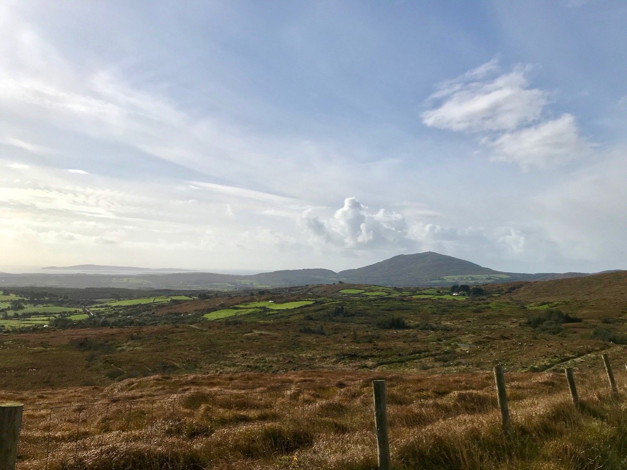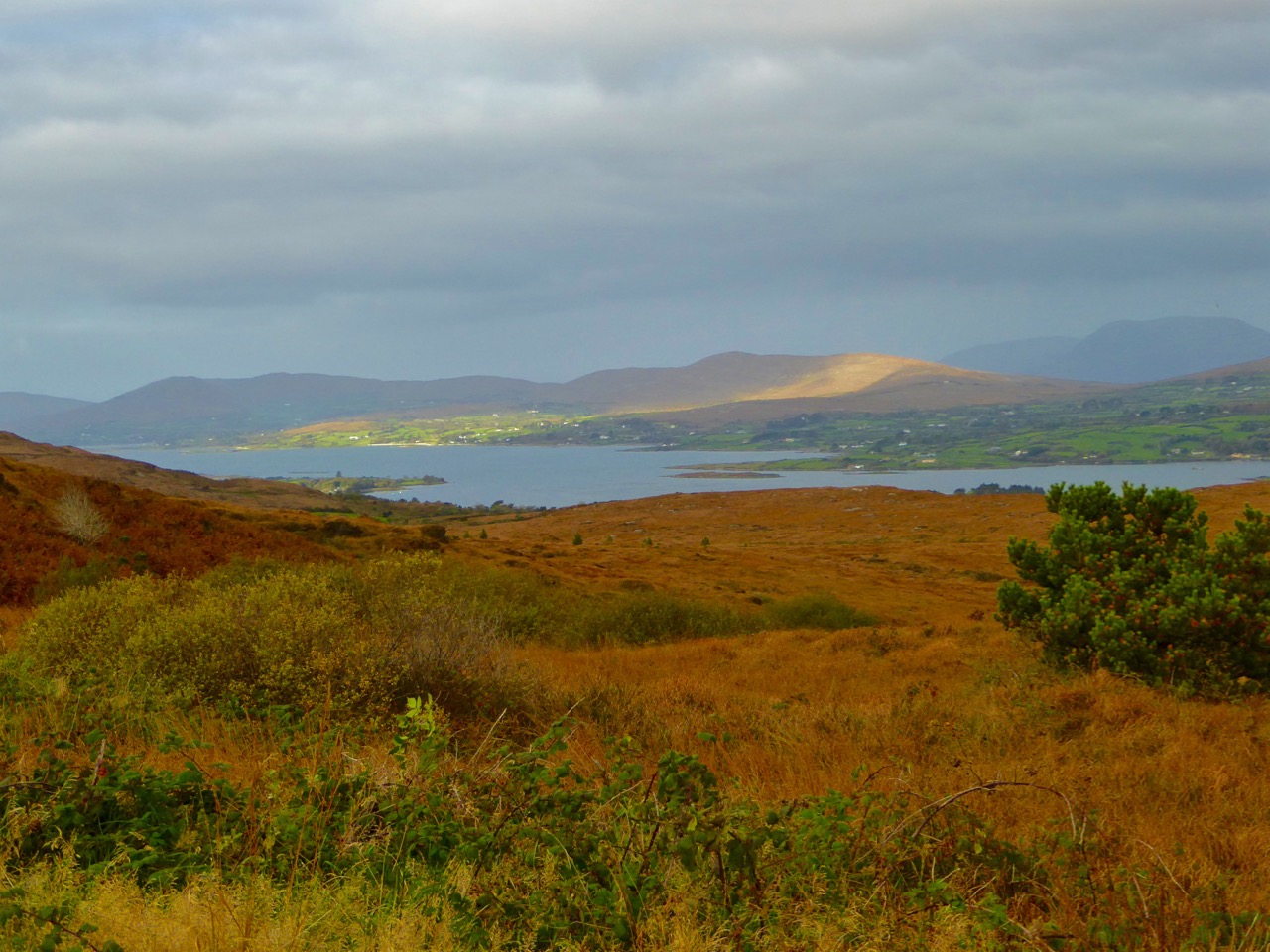
Mizen Mountains 6 – Derrylahard East

The peak of Derrylahard East is perplexing. It’s on a continuation of the Eastern Mizen Ridge that runs from just west of Mount Corrin (which we visited exactly a year ago), takes in Letterlickey Cairn (ditto) and peters out close to the wind farm at Ballybane West (which we explored last October). At its highest point it overlooks Glanlough (from the Irish Gleann Locha – ‘Glen’ or ‘Meadow’ of the lake). We must not be confused or misled by another Glanlough nearby – on the Sheep’s Head peninsula, nor yet another in Co Kerry.
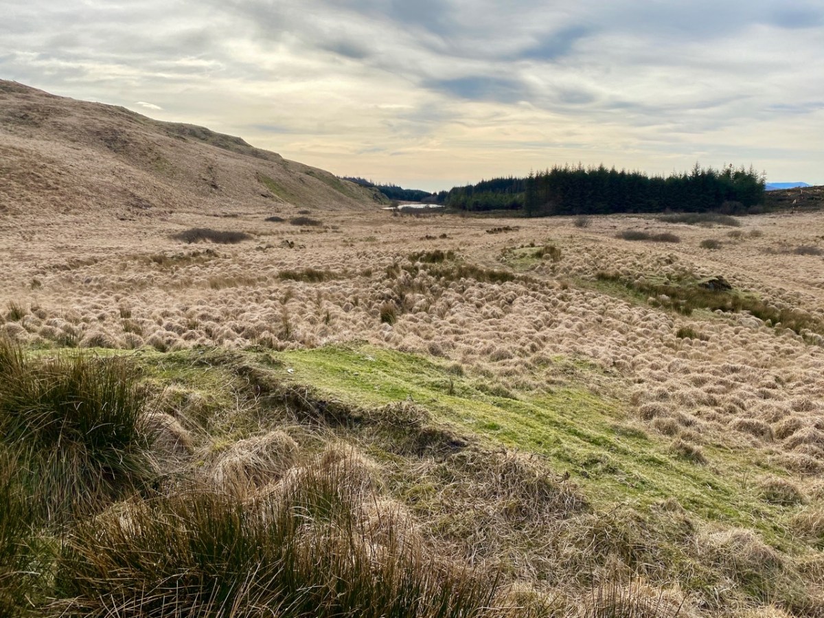
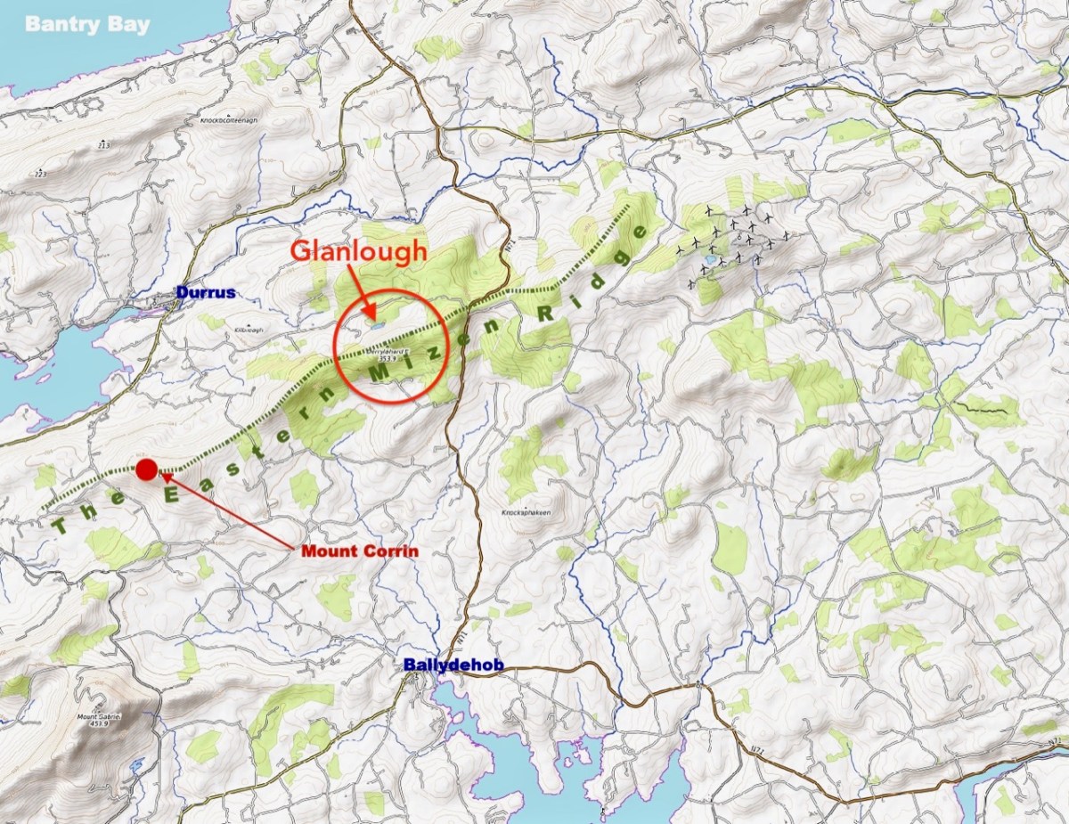
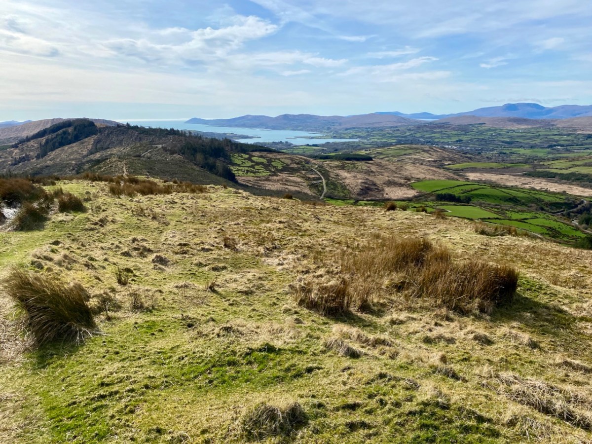
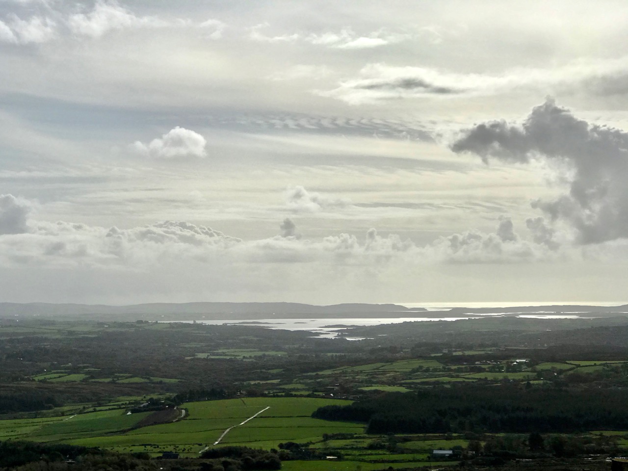
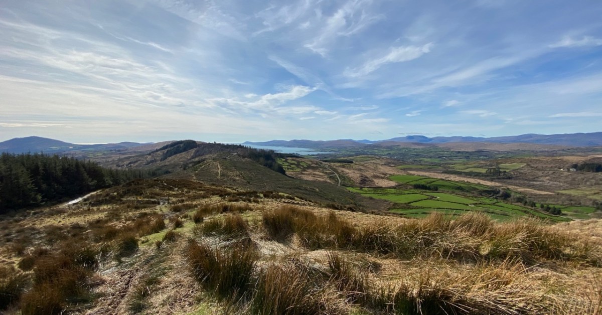
On the map above I have indicated Glanlough, which is central to our most recent peregrination. It is a mountain lake which has been virtually hidden over the last decades by thick commercial pine forests. Very recently, much of the forest has been felled, and views from the top of the ridge are now revealed: they are magnificent and far-reaching. In fact, from the high point we found we could see the 12 arched bridge at Ballydehob – which means. of course, that we can also see Derrylahard East from our own village.
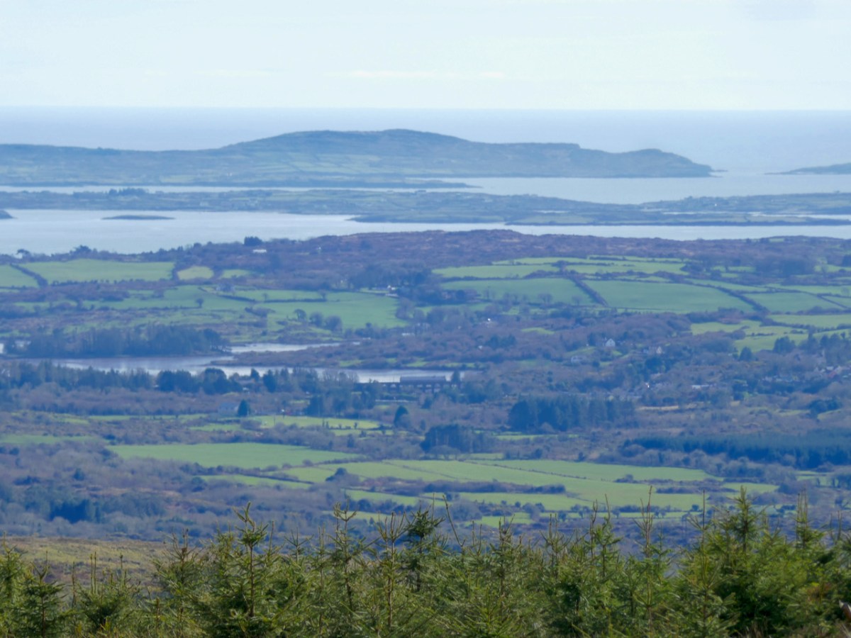
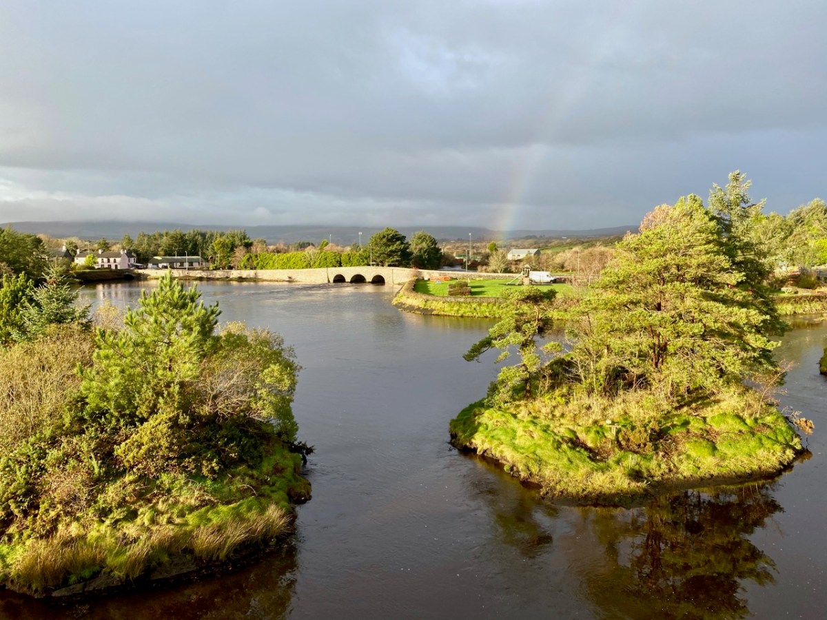
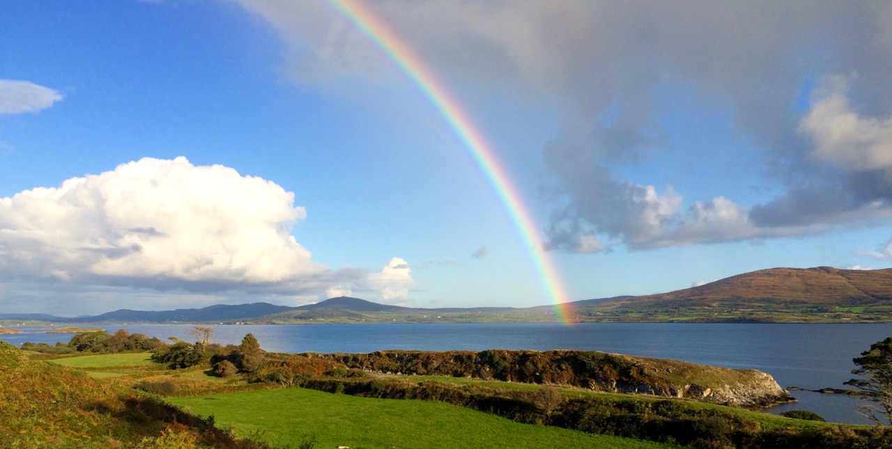
The upper picture was taken from the Derrylahard East Peak with a lens stretched well beyond its limit, but you can see the 12 arched bridge and the sandboat quay house just below the centre of the view: Cape Clear is on the horizon. The lower picture was taken a while ago from the 12 arched bridge in Ballydehob, looking north towards the Derrylahard East Peak, which is swathed in cloud to the left of the rainbow.
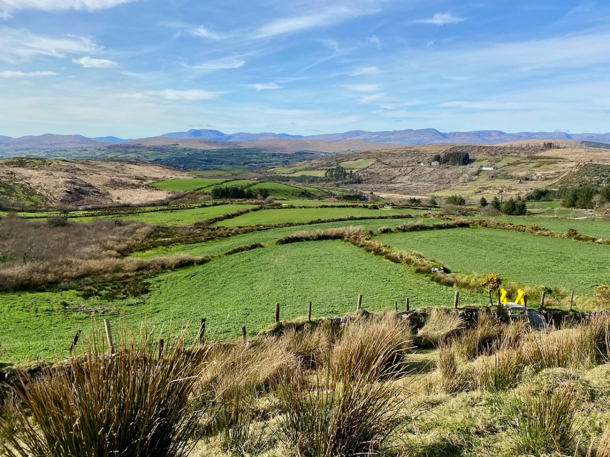
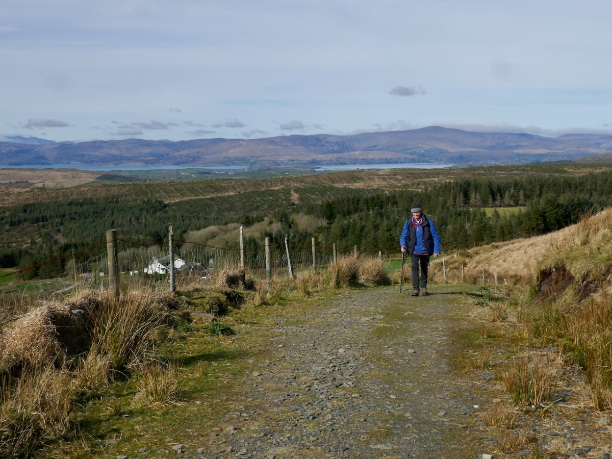
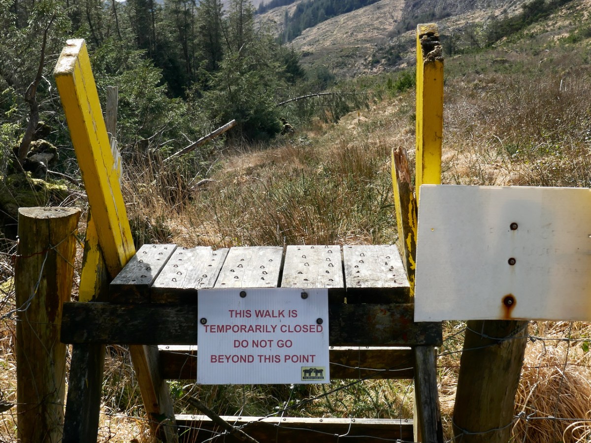
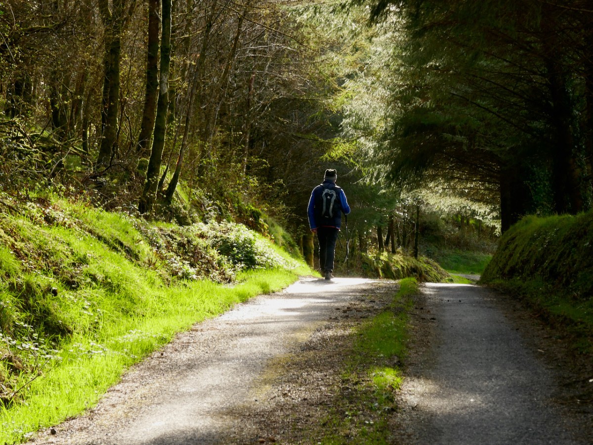
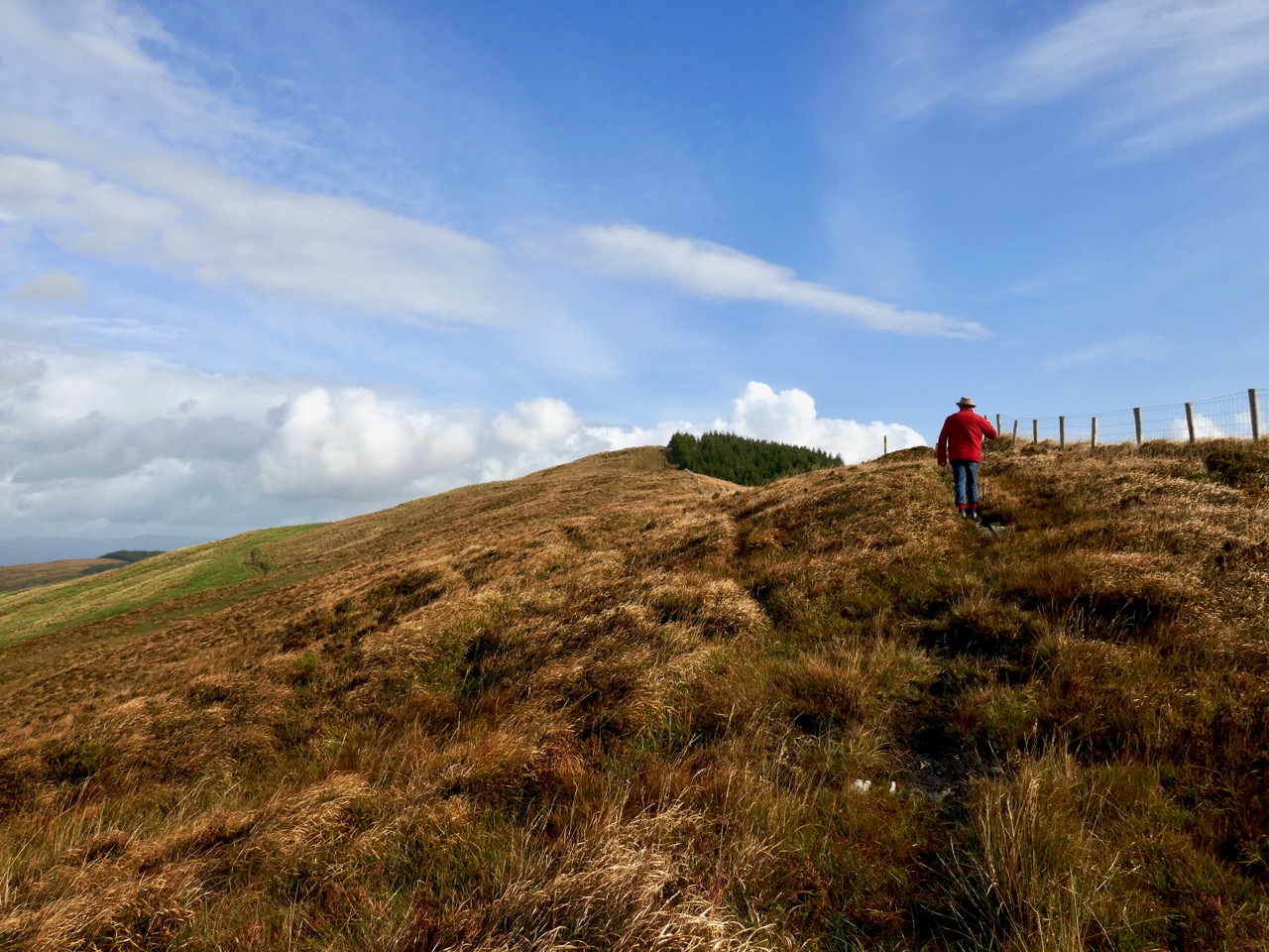
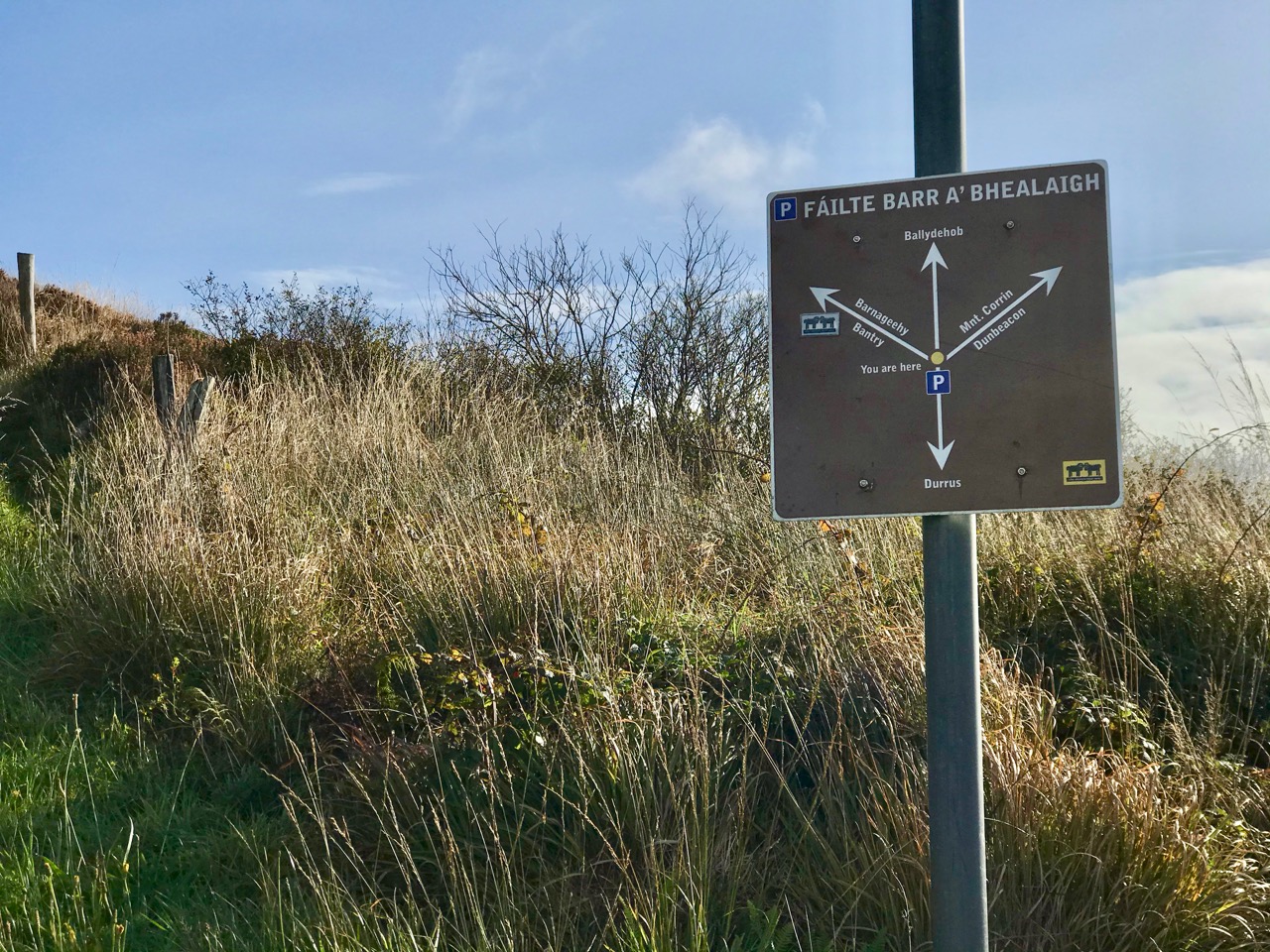
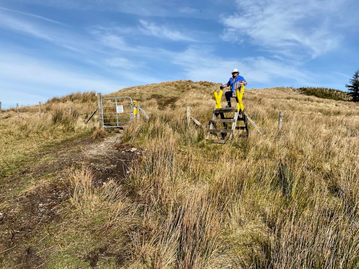
We started the walk at the western end of the loop: we accessed it from a road that runs through the forestry from Barnageehy down to Durrus. As we gained the higher ground we could see the ridge path that would lead west through to Mount Corrin – currently closed due to storm damage. We turned uphill and kept close to the townland boundary. Below – Finola is correctly negotiating the stile by going backwards down the steps!
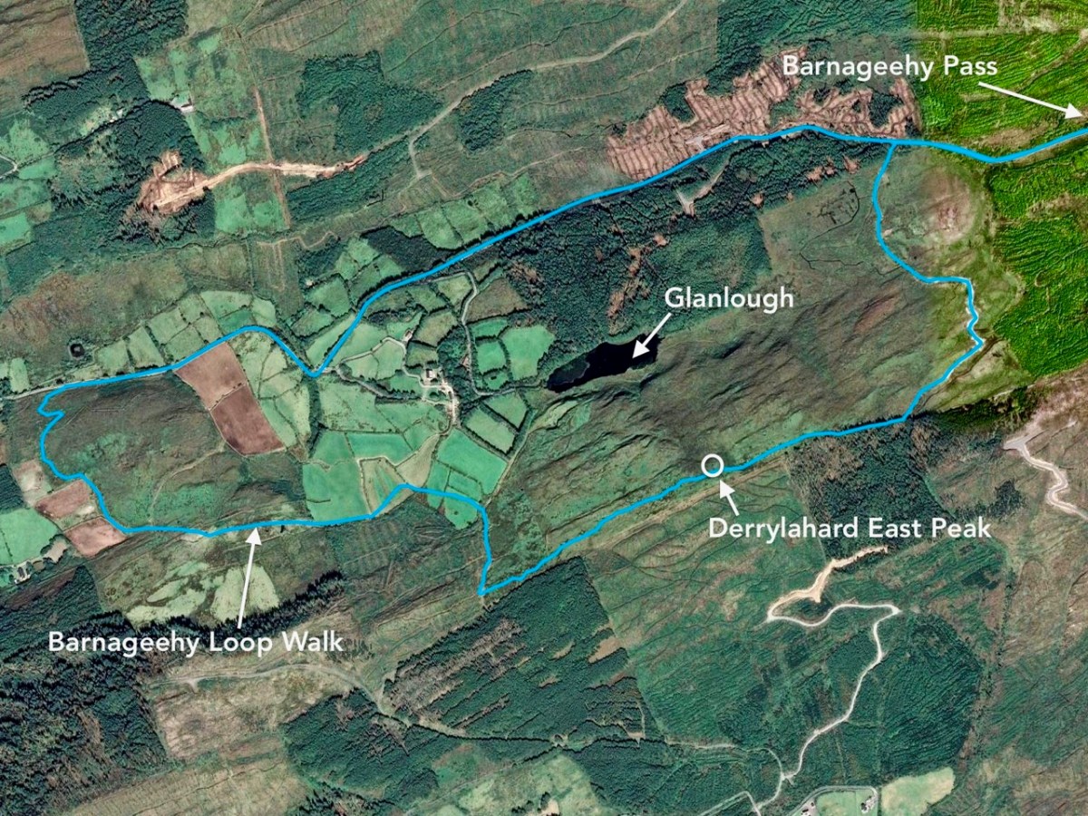
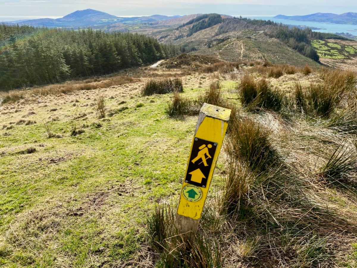
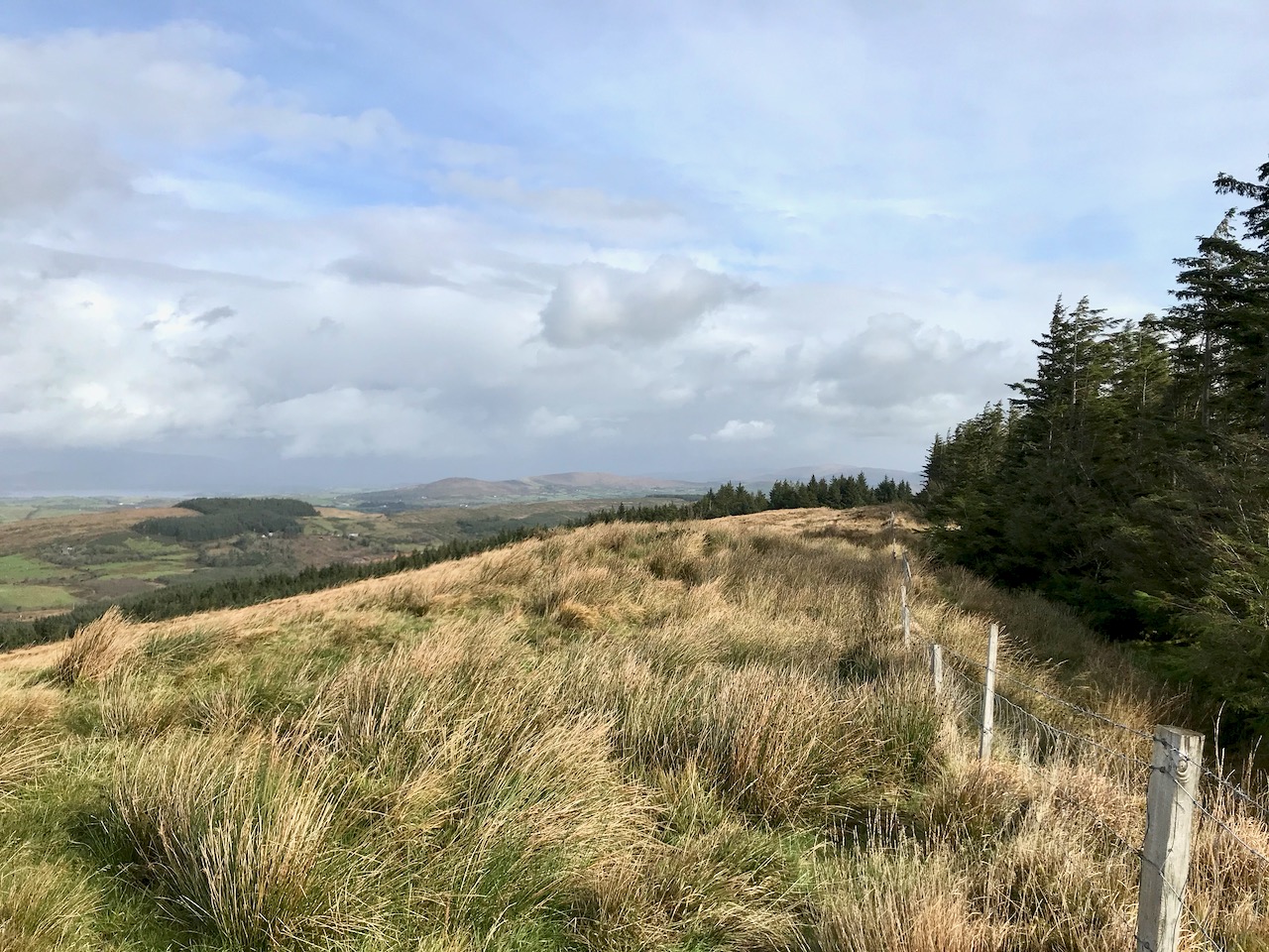
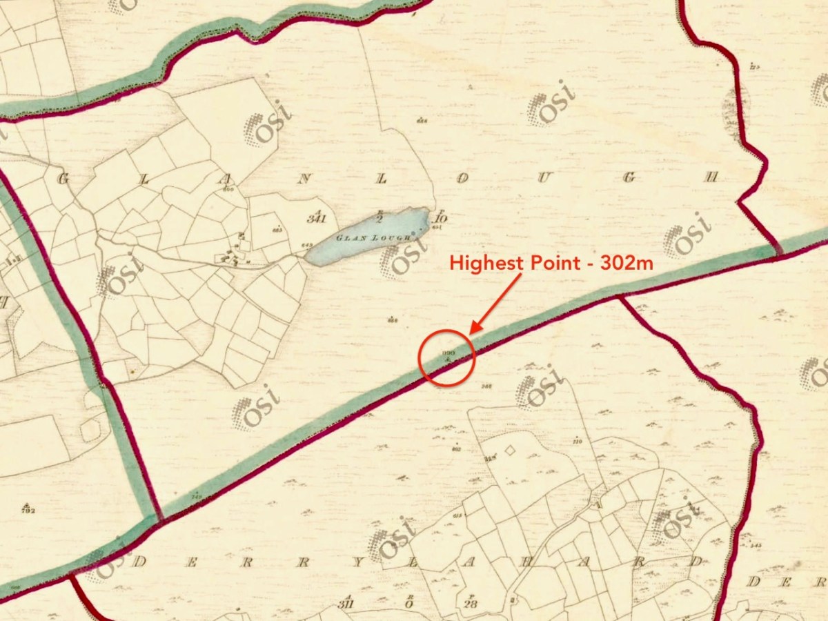
We followed the Sheep’s Head Barnageehy Loop Walk in an anti clockwise direction, circling the lake of Glanlough and looking out for the summit, which is known as Derrylahard East Peak, even though it appears to be within the townland of Glanlough. According to the 6″ OS map, which dates from the 1840s, there was once a trig point at this summit: a height of 990ft – 302 metres.
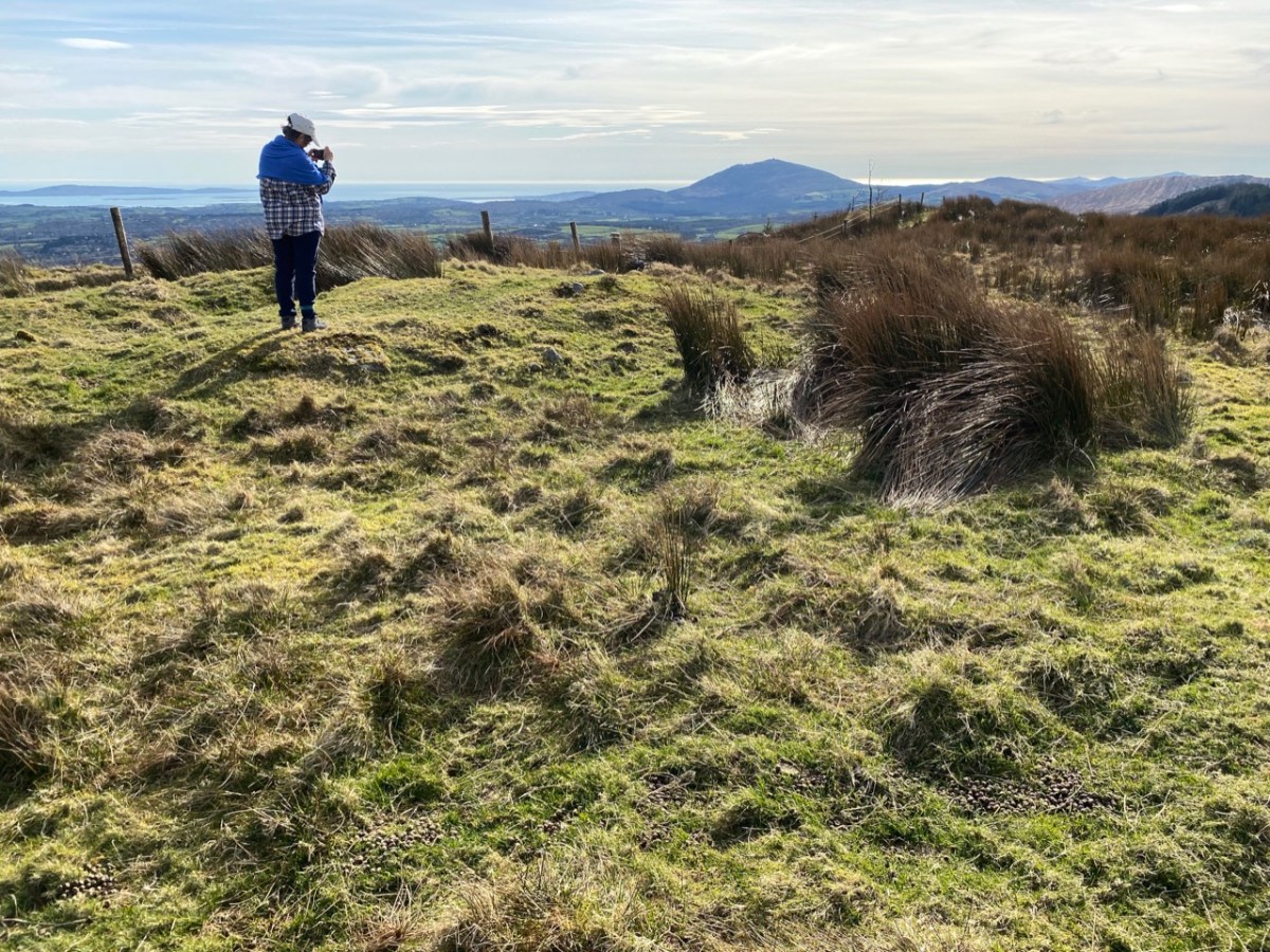
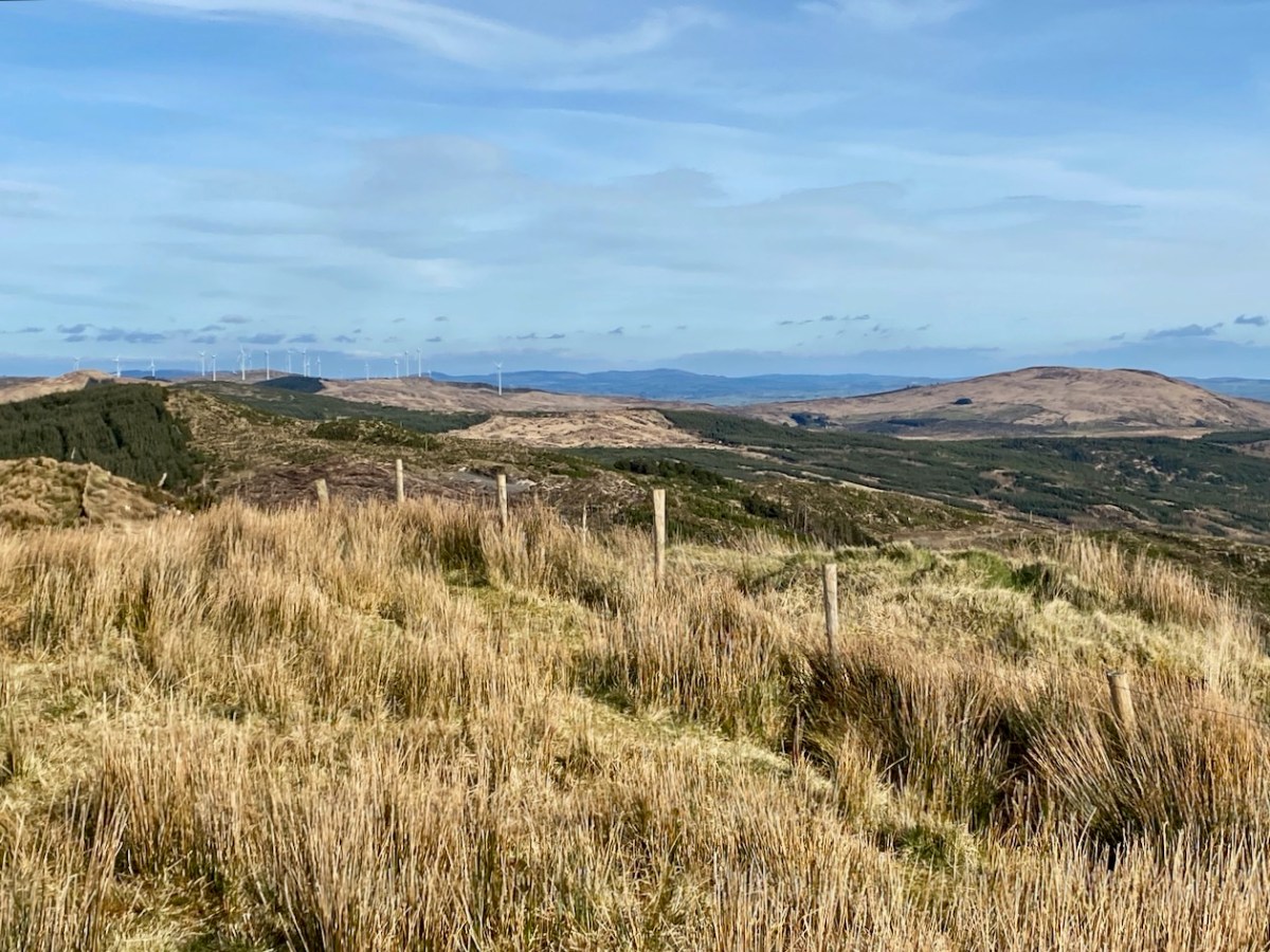
At the peak: Finola looking back towards Gabriel – always dominating the landscapes in West Cork – with the islands and ocean in the distance; Dunmanus Bay and the Sheep’s Head to the west, with the Beara Peninsula visible beyond; the view east encompassing the Ballybane West turbines and Mount Kidd.
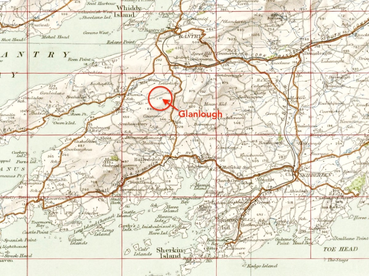
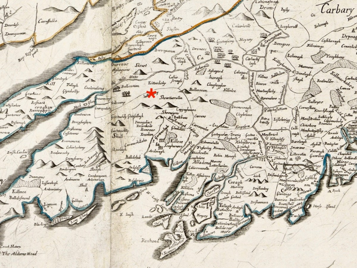
Upper map: the 1904 OS showing Glanlough lake in context with the wider topography of West Cork. Above – the Down Survey, made between 1656 and 1658: this section covers the area shown in the OS above it, and is at a comparable scale. The red asterisk shows the position of the lake at Glanlough: I had hoped there might be some notation on the Down Survey that would give some insight into the name of Glanlough, but the old map is fascinating for the fact that very few of the names are familiar to us and barely a scattering of them can be easily equated with place names today.
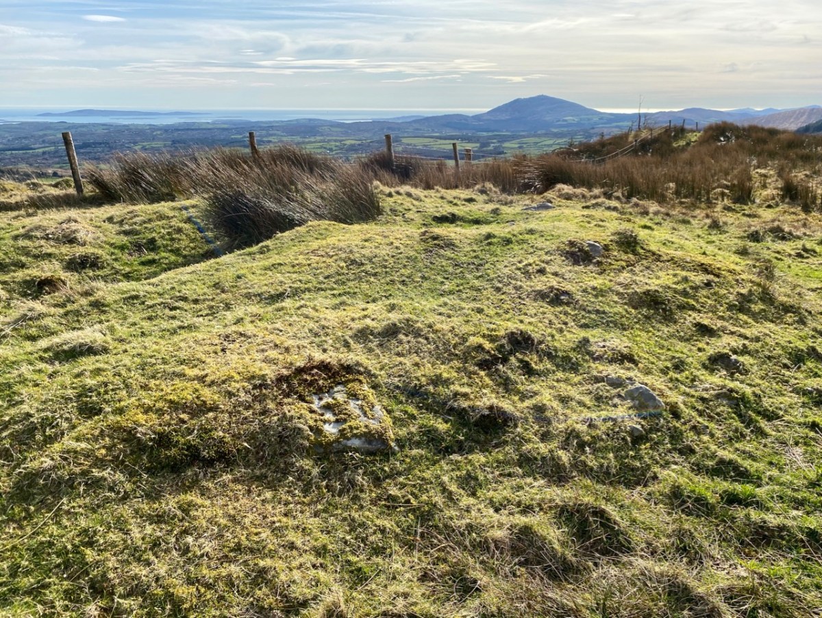
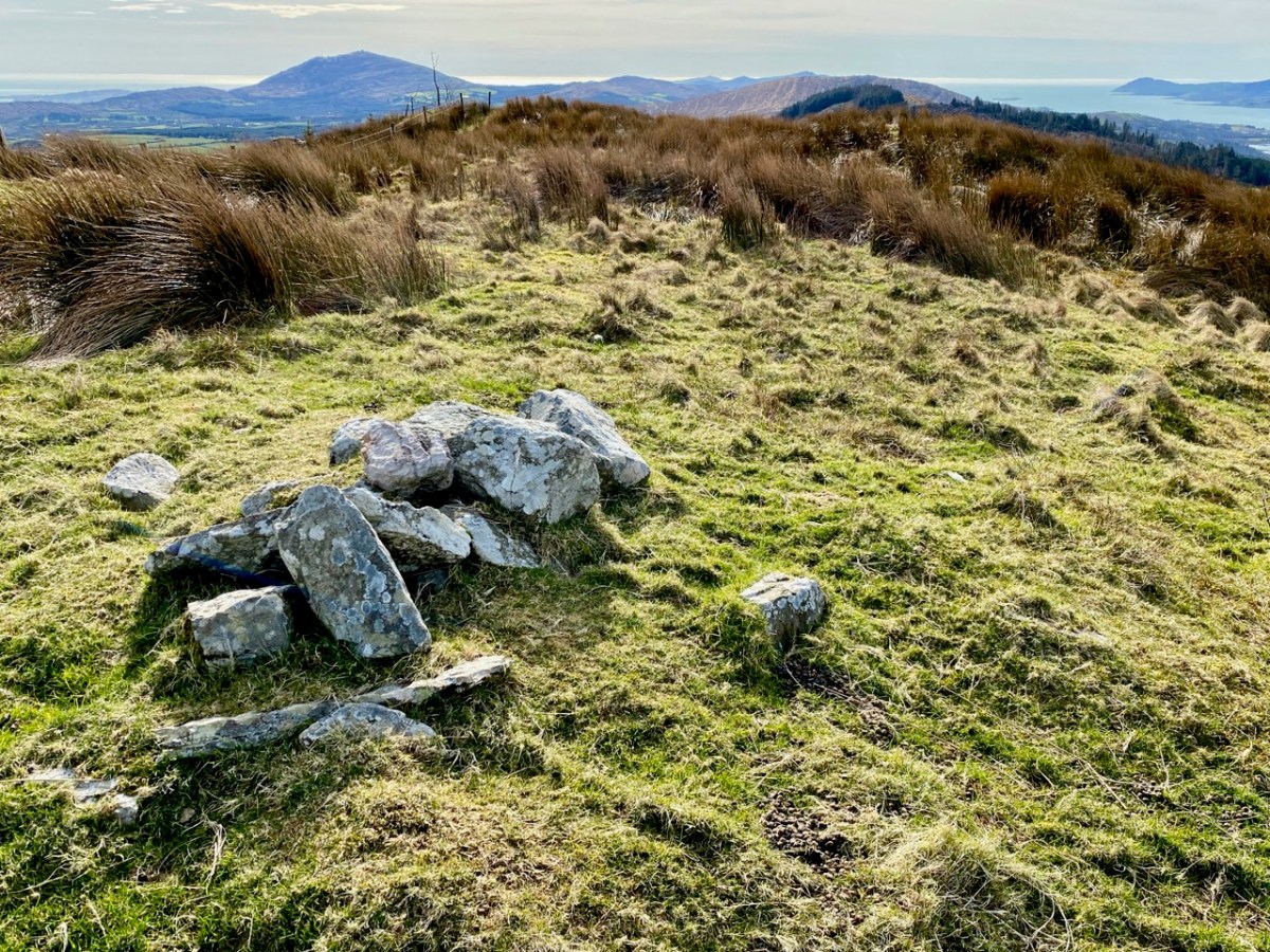
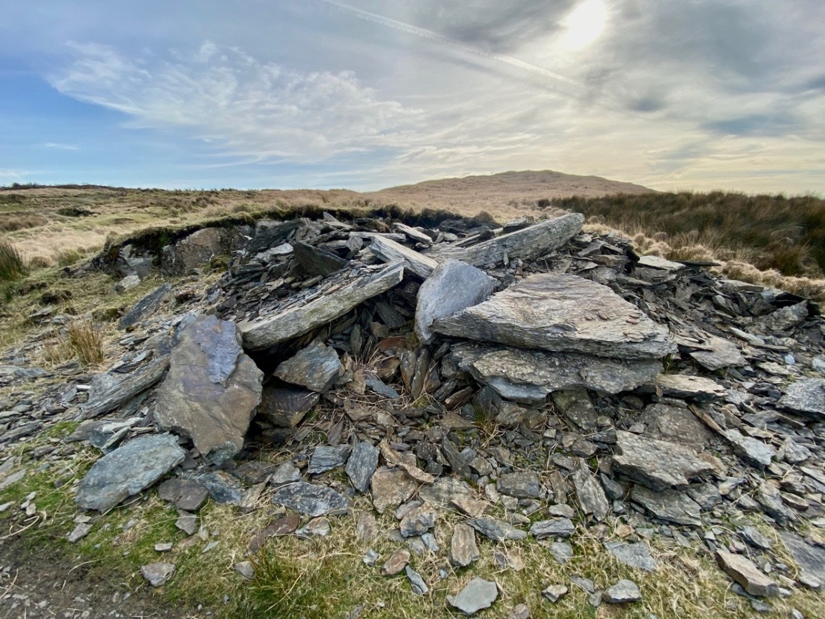
I said at the outset that the peak of Derrylahard East is perplexing. For one thing, it is clearly in the townland of Glanlough, yet bears the name of the neighbouring townland. Then there is the altitude of the summit: mountainviews.ie shows two figures for the height above sea level: 301m (which I would – almost – agree with), but also the figure of 353.9m, which must be a mistake. Unless, of course, there is something preternatural in this small patch of West Cork territory: I’m thinking of the legend of the ‘floating’ islands in the lake on Mount Gabriel. According to John Abraham Jagoe, Vicar of Cape Clear – from the Church of Ireland Magazine 1826 – they float about up and down, east and north and south; but every Lady-day they come floating to the western point, and there they lie fixed under the crag that holds the track of the Angel’s foot…’ Perhaps our peak fluctuates at will to confuse us? The shape of the summit is also intriguing: we sensed there are traces of a circular platform and a number of loosely scattered stones – could there have been a megalithic structure here?
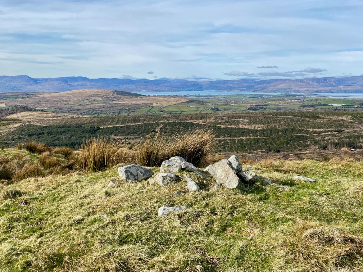
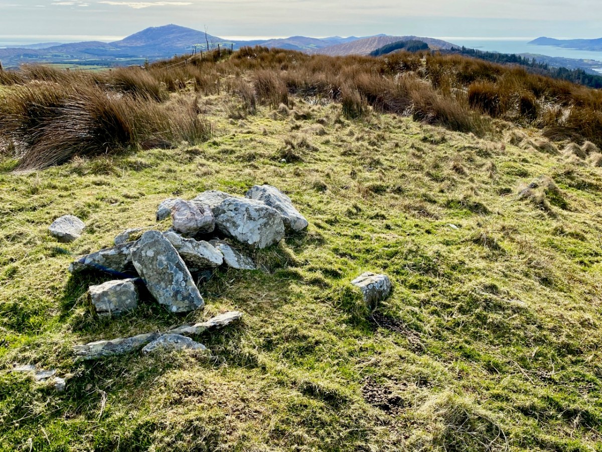
The views from this peak would justify it being marked out as a special site, and we could expect to find some stories recorded in the folklore archives, but no: the Duchas Schools Collections reveals nothing of the peak, the lake, nor the townland.
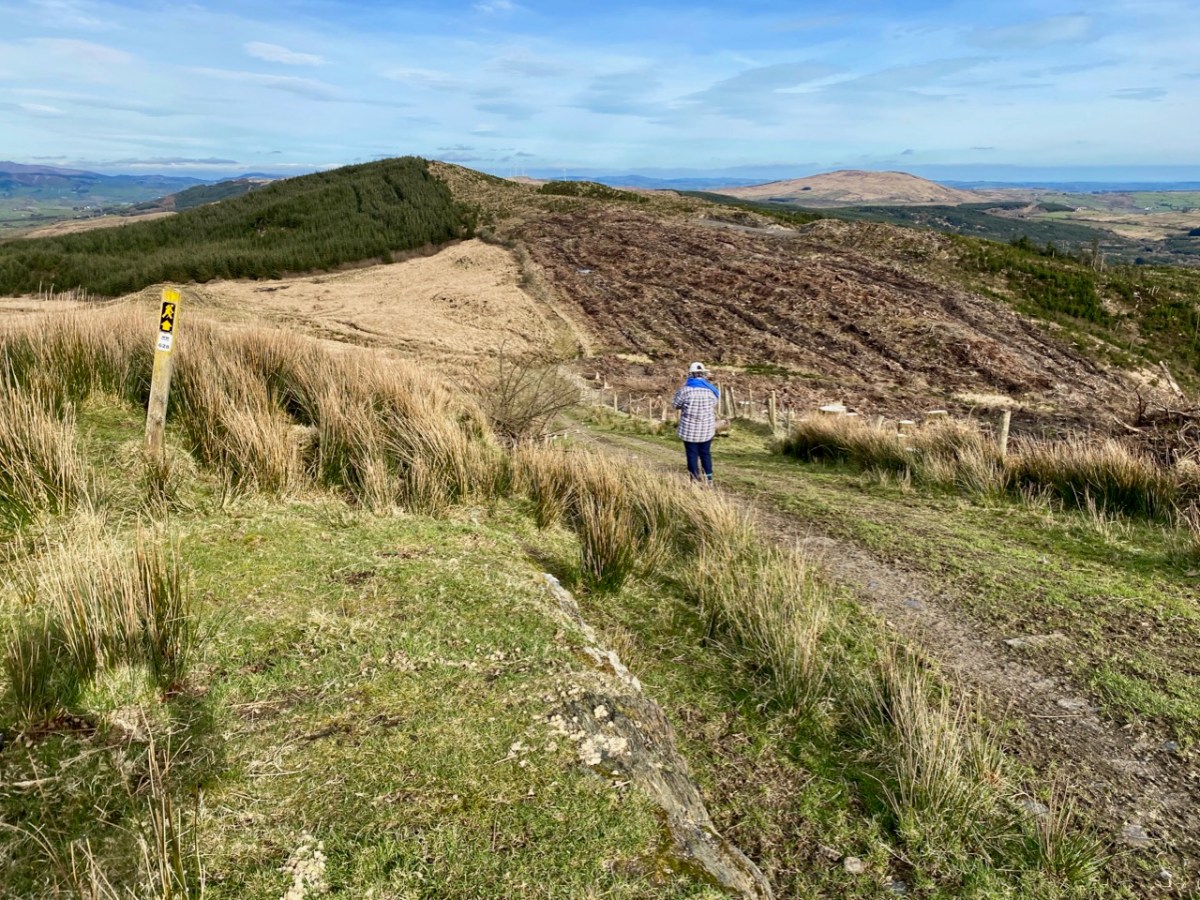
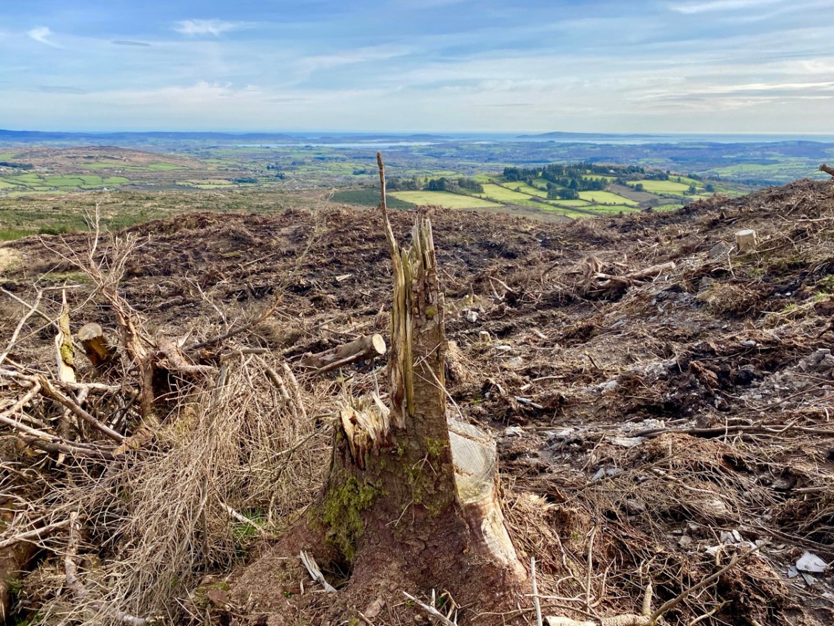
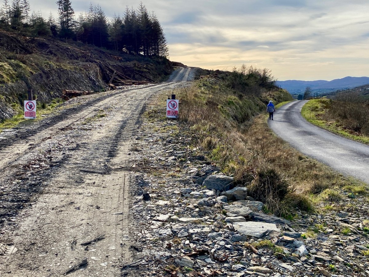
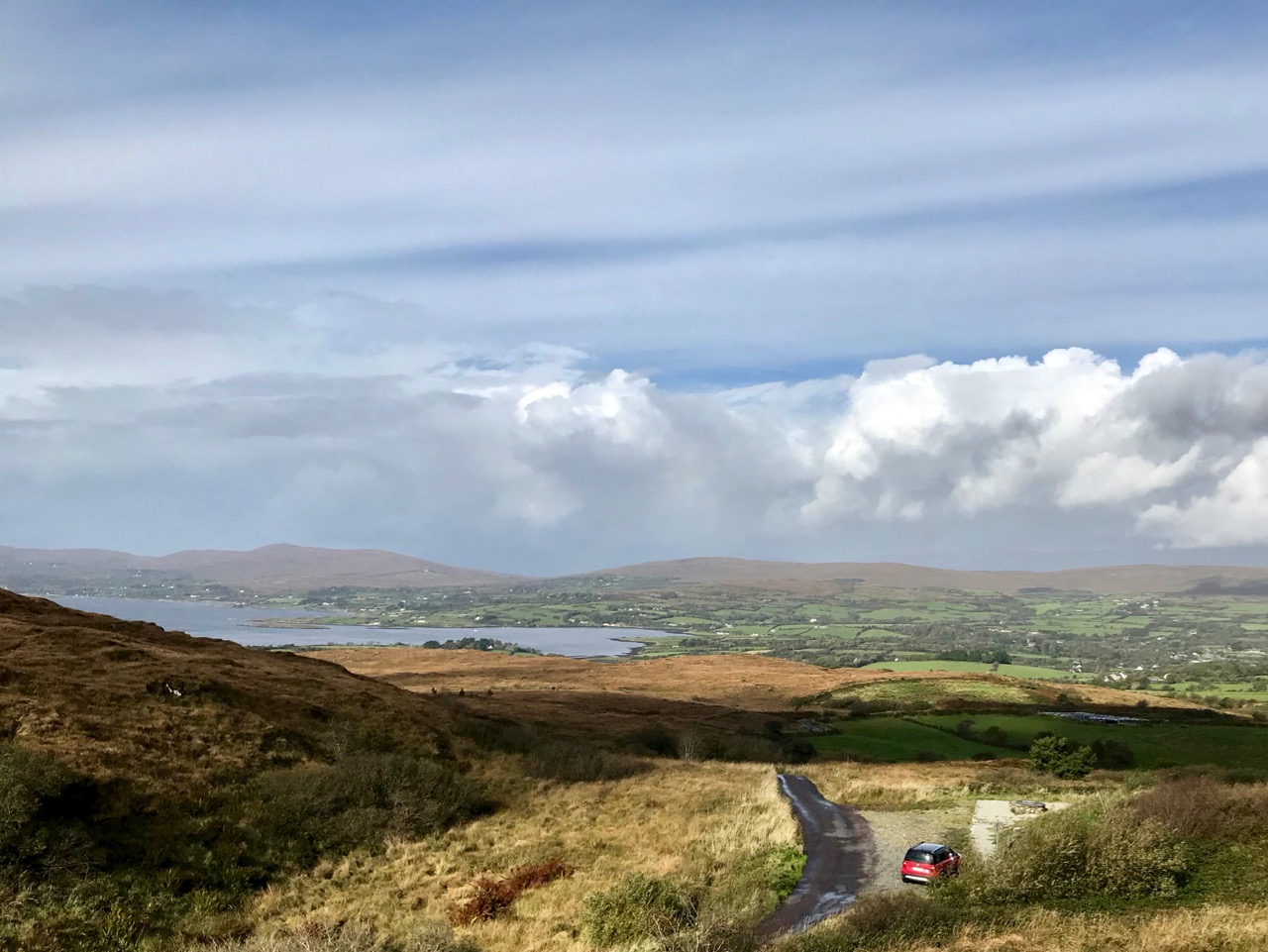
As we descended the track we were grateful that the recent forestry removal has opened up the extensive views to the south, over Roaringwater Bay, but we are also reminded of the devastation that this type of monoculture creates. The scarring of the landscape will last for years, until eventually covered by further spruce planting: then the views will vanish again.
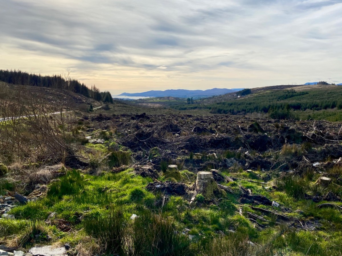
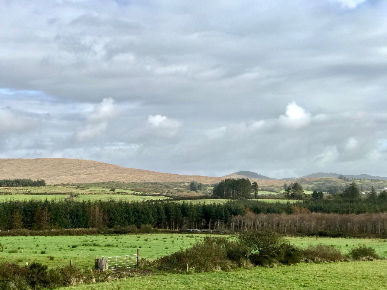
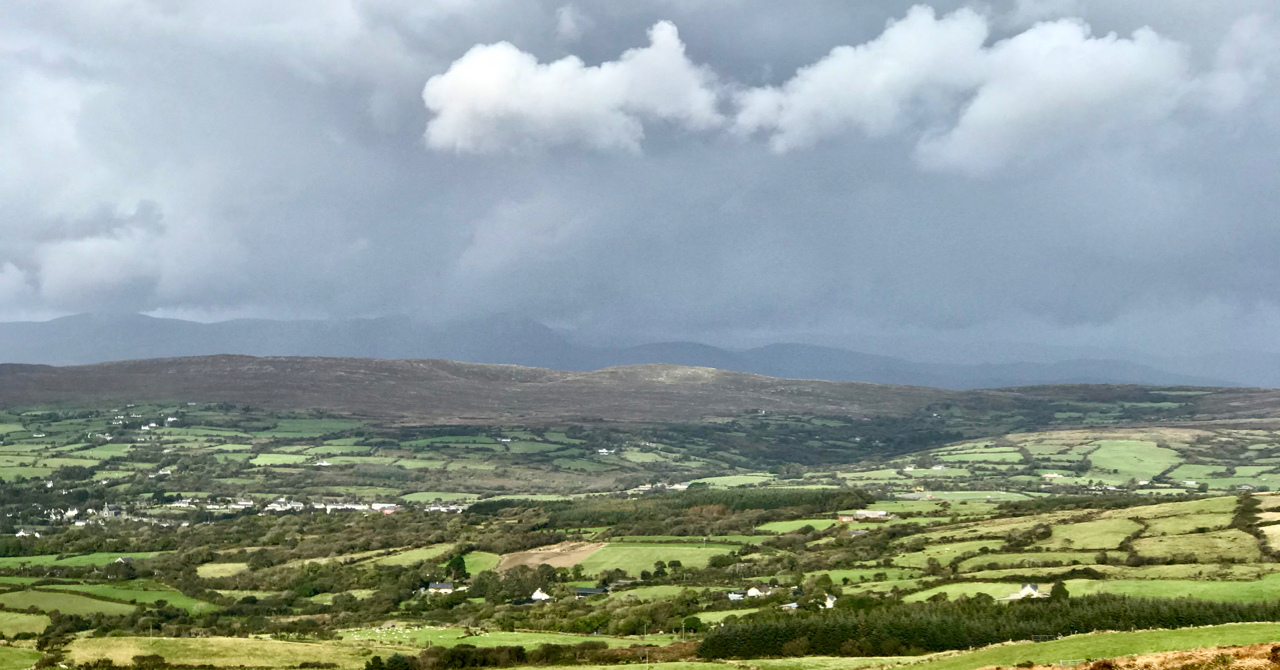
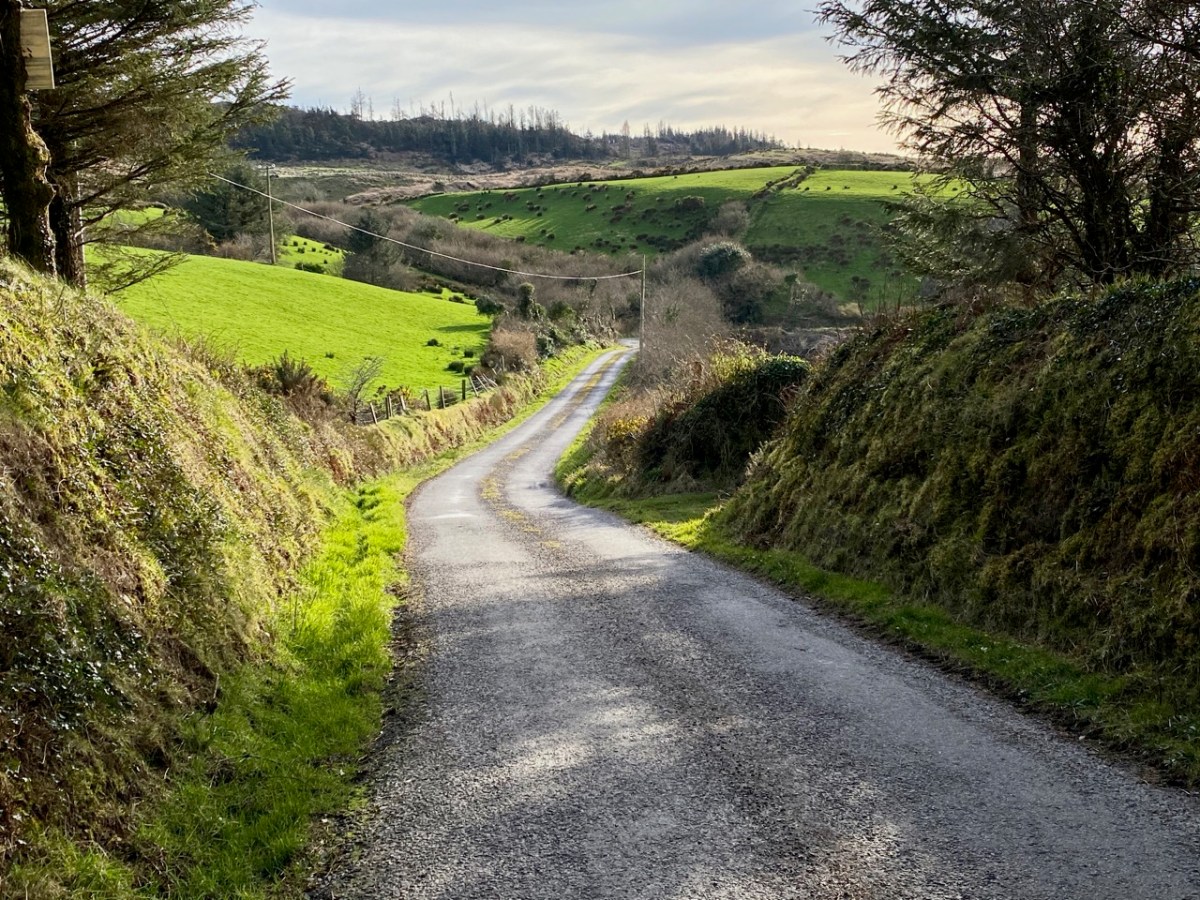
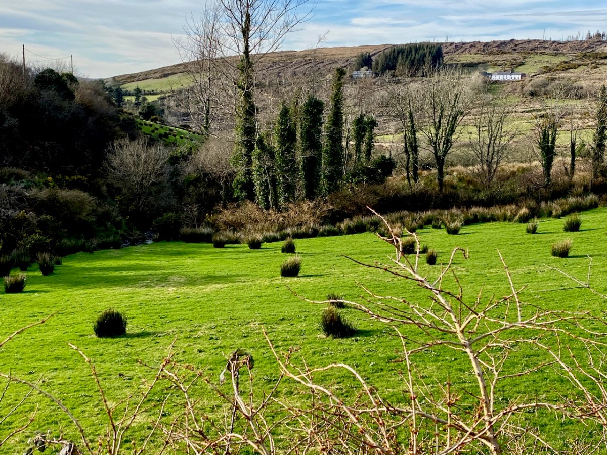
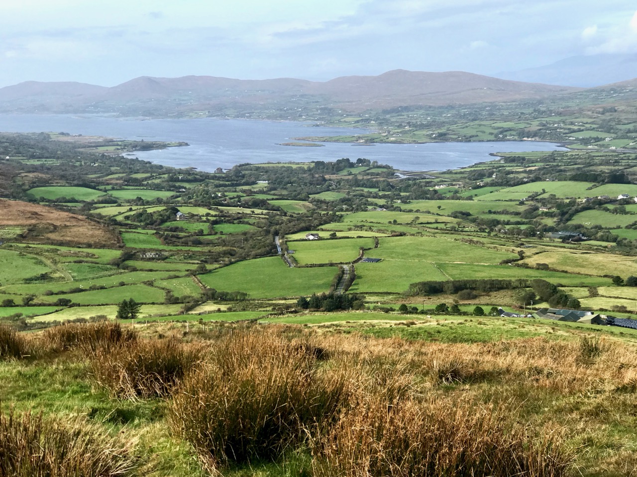
As we left behind the havoc of the ravaged hillsides it was good to find some pastoral prospects, reminding us that West Cork always has unfolding delights and juxtapositions, wherever we wander.
Previous posts in this series:

Knockaphuca, Corrin, Letterlicky Cairn, Lisheennacreagh, Knockatassonig
Mizen Mountains 2 – Lisheennacreagh

In this series I’m visiting and recording all the ‘mountains’ on the Mizen Peninsula in West Cork. I’m defining a mountain as any summit over 200m above sea level. If I hear you crying out ‘shame!’ – as a mere 200m peak can’t possibly be a mountain – then I can say our country is defined by its undulations, and here in the far west of Ireland all our outcrops, however modest, are dramatic and offer striking views over the landscape, such as the one above which looks north-west across Dunmanus Bay towards the Sheep’s Head, seen from this week’s climb.

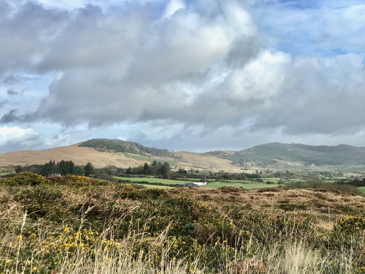
Upper – approaching the ridges from the Schull direction, the three peaks of Corrin (left), Lisheennacreagh (centre) and Derrylahard (right) are set out before us. Lower – a closer view: Lisheennacreagh is on the left: its summit is hidden behind the forestry plantation

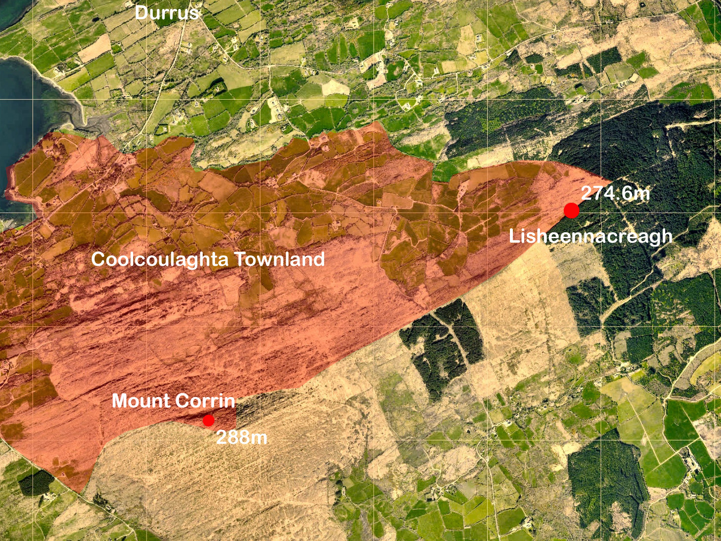
Last week we explored at the western end of the peninsula, where Knockatassonig – at a height of 204m – only just crept into our ‘mountain’ category. This week – much further to the east – we are more secure, as my chosen destination comes in at 274.6m. It’s actually higher than it looks as neighbouring Mount Corrin (no doubt about that one!) peaks at 288m, and appears much more of a climb from below. Today’s summit is not named on any map, so I’m probably courting controversy by calling it Lisheennacreagh, after the townland in which, by my calculations, the highest point is located. Have a look at the aerial view below:
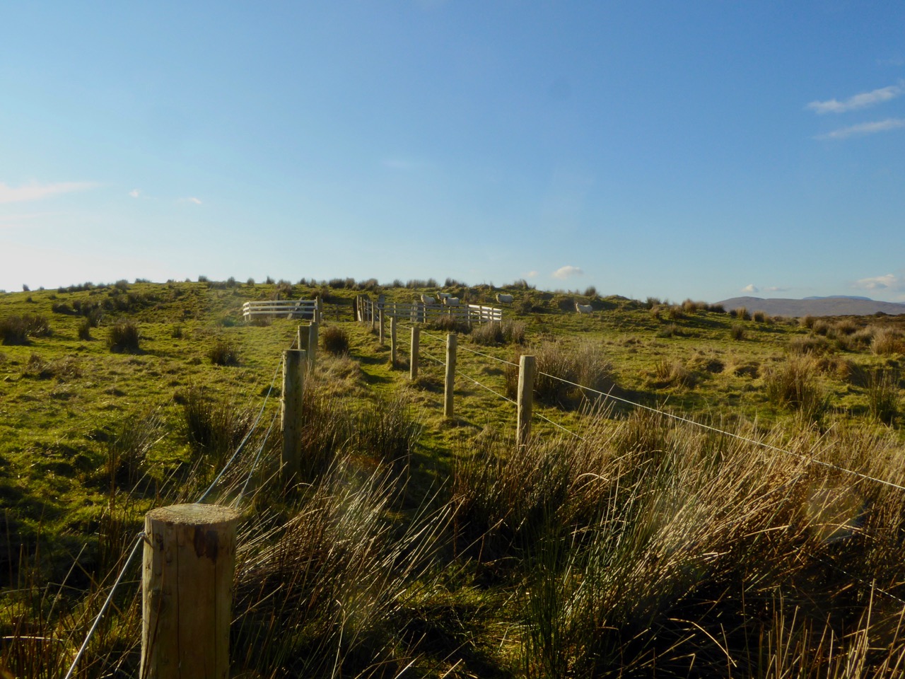
The pink shading shows the outline of part of the large townland of Coolcoulaghta, the southern boundary of which takes a sinuous course to include the summit of Mount Corrin. Over in the east, however, our high point is exactly on the boundary between the townlands of Coolcoulaghta and Lisheennacreagh – a boundary which is physically defined at that point by a substantial fence, whose course – part of the Sheep’s Head Way Mt Corrin Loop route – we followed all the way up to this summit from the designated car parking area on the Rathuane to Durrus road. After much on-site pondering, I decided to give the summit to Lisheennacreagh, as Coolcoulaghta townland already claims Corrin!

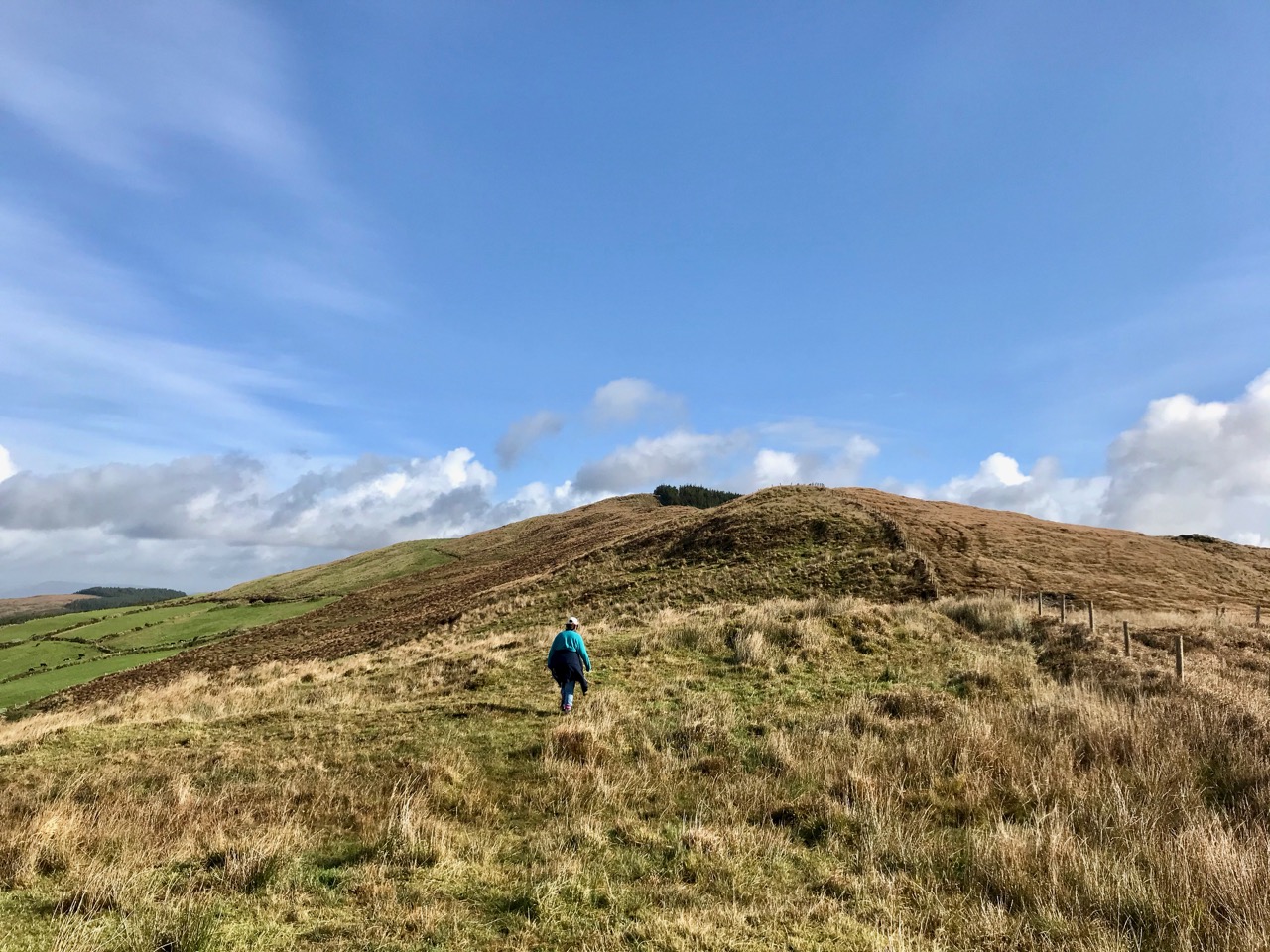
Upper – Finola is heading out for the high ground: the summit is in the far distance, beside the forestry plantation. Lower – looking back from the ascent, high Mizen summits are set out: Corrin is in front of us and Mount Gabriel is in the distance to the left

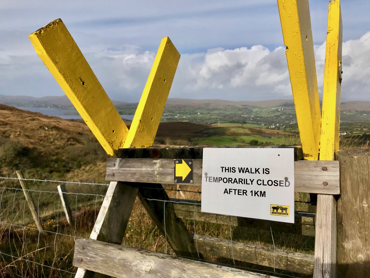
According to the place name records surveyed in 1841, Lisheennacreagh (Irish Lisín ne Cré) means Little fort of the preys or plunders – I was hoping I might find some traces of ancient earthworks on this summit, but there is nothing visible: buried deep in the inaccessible forest is a scheduled monument, described as a hachured univallate enclosure with a diameter of 22m. In fact it’s not possible to complete this loop walk at all, as the way to the next high point – Derrylahard, 301.7m – passes through heavy forestry, but access has been blocked by storm damage earlier in the year.

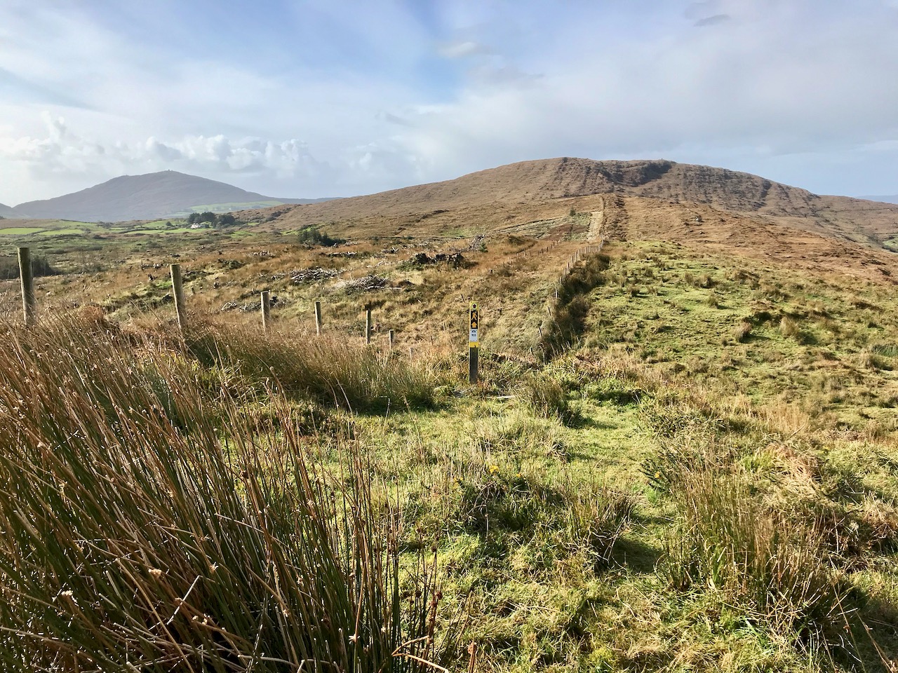
Above – autumnal shades of rough grazing continues all the way over the summit: you can go only as far as the next section of forest. Our companions on the walk were just a few ponies

It may seem a fairly featureless walk, but it was well worth the efforts for the superb views in all directions. We were lucky with the day: the mild weather this year has continued right through September and well into October. The mixture of blue skies and scudding clouds emphasises the contours, shadows and natural features, wherever you look.

Rewarding views from the Lisheennacreagh climb: upper – looking across Roaringwater Bay to Baltimore; lower – Cape Clear in the far distance, with another view of Gabriel, the most dominant feature of our Mizen landscape

I found some entries from the Duchas Schools Folklore Collection, for Durrus School. I could not find anything specific to Lisheennacreagh, but I liked this introduction to ‘My Native Townland’ from Brenda MacCarthy dated May 9th 1938:

I live in the townland of Coolcolaughter away out in the country, far from any stuffy unpleasant town or city, and almost two miles from the village of Durrus. My home is at the foot of the mountain in a quiet peaceful valley where my father tills, and sows, and reaps, from dawn to dark year in year out, happy and prosperous, and thankful to God for health and existence . . .

One aspect of Lisheennacreagh is that it is one of the more accessible peaks. There’s a place to park your car (with a fine view looking out to Durrus!), good signage and waymarks. Once the path is repaired beyond this summit, you can go on to Derrylahard (which will be the subject of a future post) and complete the loop by going round Glanlough to Durrus, then back over Corrin – a marathon 17km in all. Choose a good day and you couldn’t hope for a more inspiring hike.

Good accounts of this route and the whole Sheep’s Head system of trails can be found in Amanda and Peter’s book Walking the Sheep’s Head Way – Wildways Press, 2015. Also, have a look at this Living the Sheep’s Head Way post.

Local Heroes: Ballycommane Gardens – and Bronze Age Site!

This week we were privileged to meet with Andy Stieglitz and Ingolf Jungmann at their home, Ballycommane House, between Durrus and Bantry. We’d been once before, several years ago, when we had met Andy, then busily engaged in renovating one of the sheds. Now the house has been extended and modernised, along with various outbuildings. Andy and Ingolf, both retired and living here full time, are running the house as a bed and breakfast, with an adjacent self-catering cottage, and have opened their garden to the public.

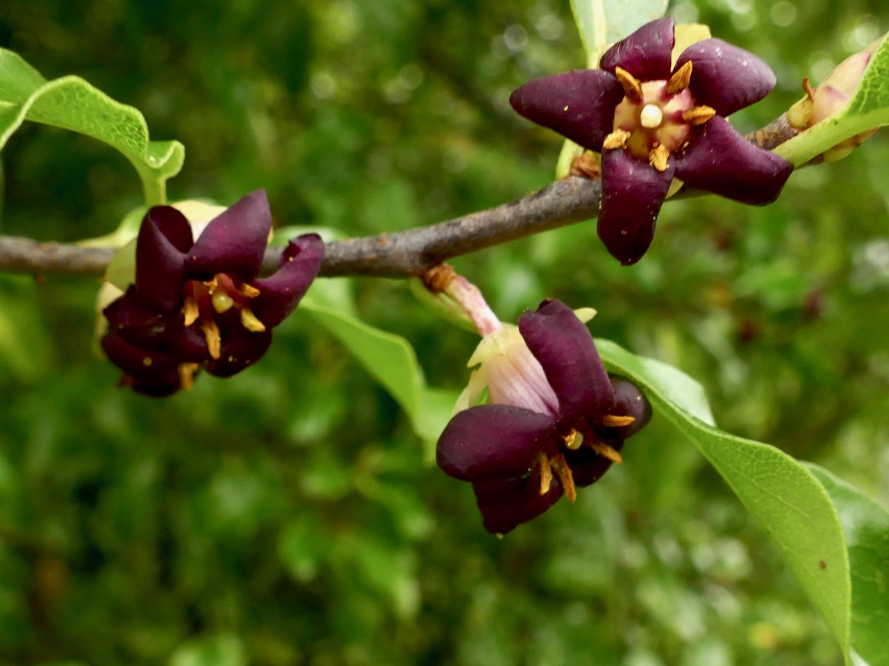
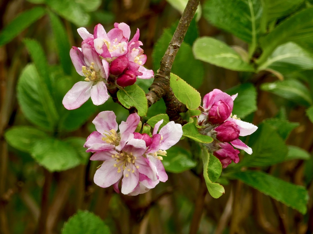
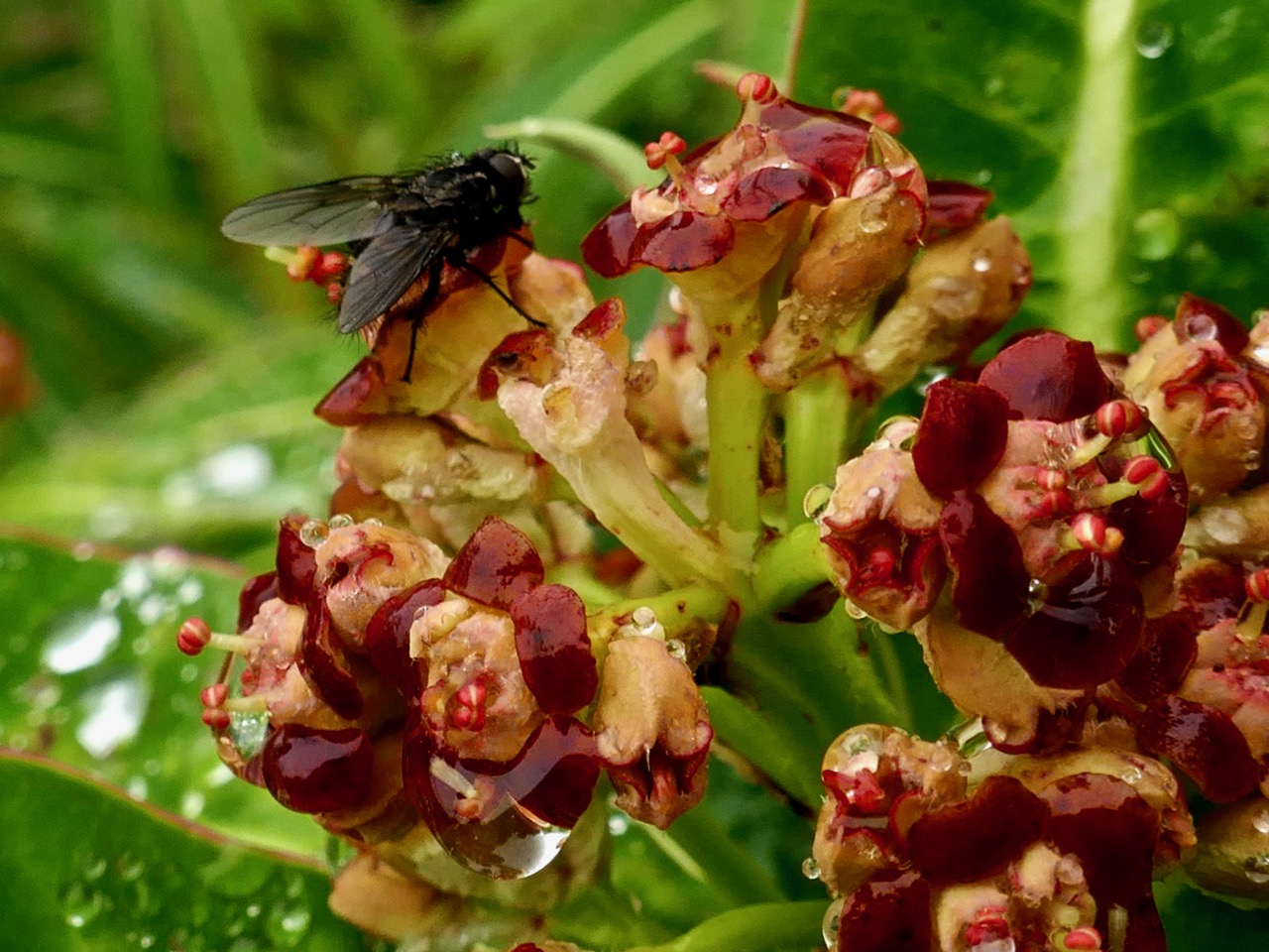
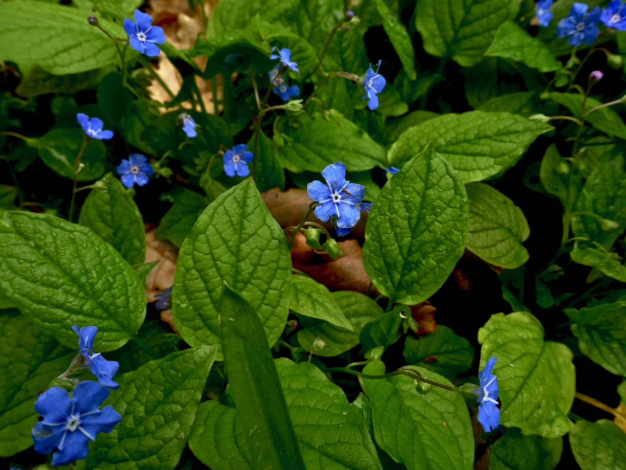
I don’t know the names of most of these flowers, although the one above is from one of their heritage-variety fruit trees

They have taken a few acres of scrubland and pasture – and turned it into a little piece of paradise! Both keen gardeners, they have been working now for fifteen years to develop their arboretum and lay out different areas of the garden connected by meandering paths. Here and there open spaces invite you to lounge and simply take in the sights and the scents.

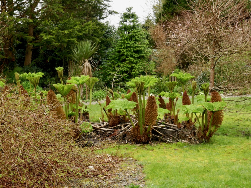
This Gunnera is, thankfully, the non-invasive variety

Or you can keep strolling and discovering. They specialise in plants from the Azores, where they like to winter, and have discovered that many Azorean species flourish in this mild climate. Of course they have had to learn to deal with the wind, as parts of the site are quite exposed, and with the unpredictable Irish climate.

But Andy and Ingolf value all plants and also celebrate the humble wildflowers that are my special interest. Ingolf has learned to propagate the wild primroses and the colourful borders he has created are a joy.

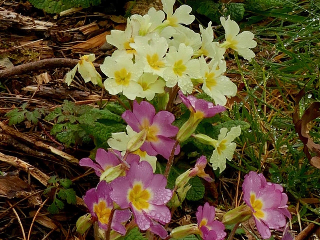
Wild Primroses are generally pale yellow, but pink varieties also occur. Ingolf tells me the pink ones are a little harder to propagate 

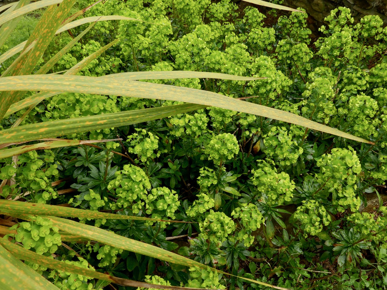
Wild spurges mix with the Azorean ones – the Euphorbia genus is one of the largest and most variable on earth, and while we know it mainly from our wild Spurge varieties they can range from tiny to huge and from colourful (Poinsettias!) to shades of green.

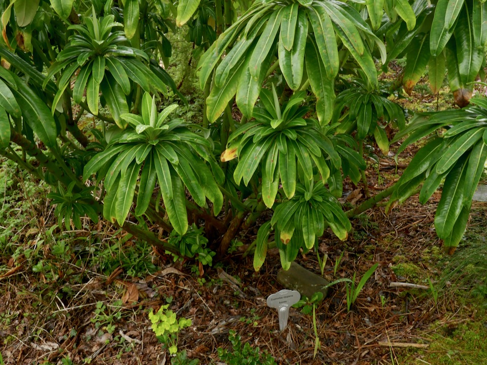
A native Euphorbia (top) is flourishing while below an Azorean import looks very comfortable also. Note the tiny native spurge that has sprung up underneath it – a study in contrasts

Now in March, the garden hasn’t quite come into its own yet. Nevertheless, there is plenty to see and surprising hits of colour here and there. Wherever you look, the eye is caught.

Above: We decided it was an Azorean daisy. Below: I think it’s Green Alkanet, a garden escape that has naturalised widely in Ireland

Ballycommane House is part of the marvellous West Cork Garden Trail and is open from March to October. Andy and Ingolf love to welcome visitors so plan a trip to see this treasure. And when you do, there’s a surprise in store – Ballycommane is also home to a Bronze Age Boulder Burial and Standing Stone Pair!

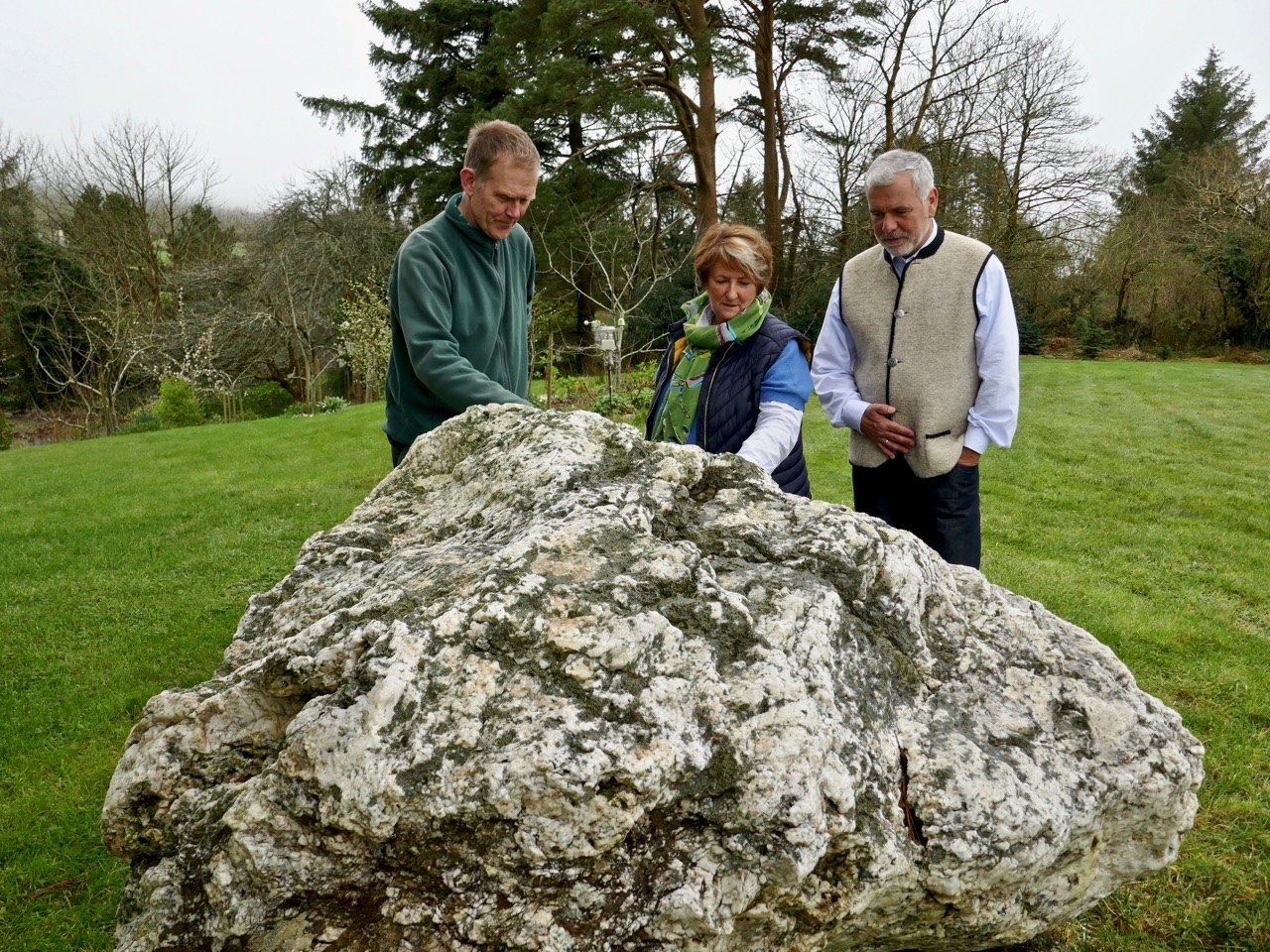
Andy (left), Ingolf and I contemplate the boulder burial

Regular readers of this blog will know that Robert and I worry about loss of and damage to our ancient monuments due to neglect, lack of knowledge, and occasional wilfulness. That’s why I am calling this post Local Heroes because Andy and Ingolf, quite apart from the enormous work involved in developing their house and garden, have embraced the challenge of celebrating and safeguarding these monuments for all of us.

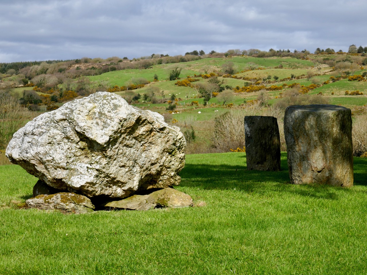
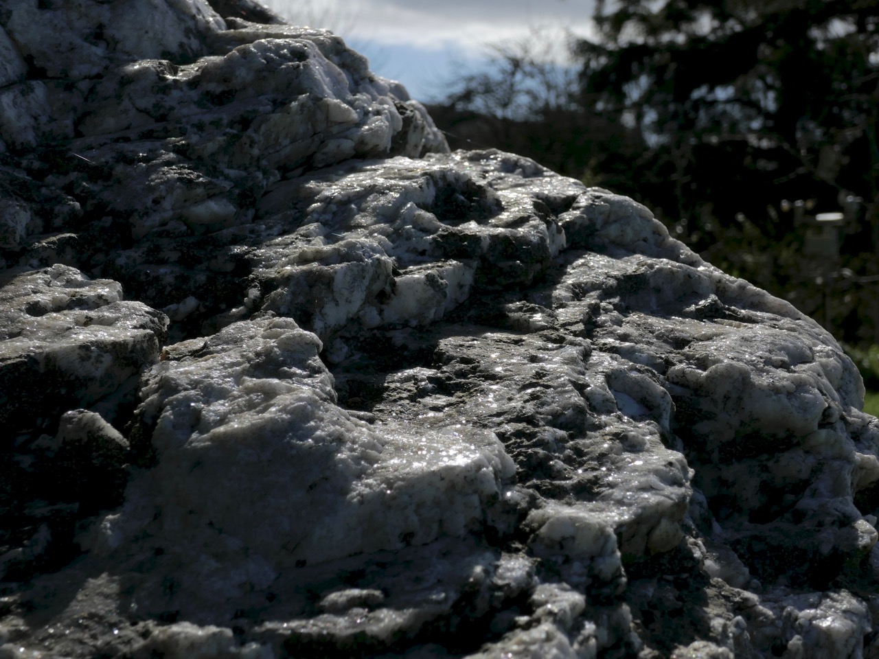
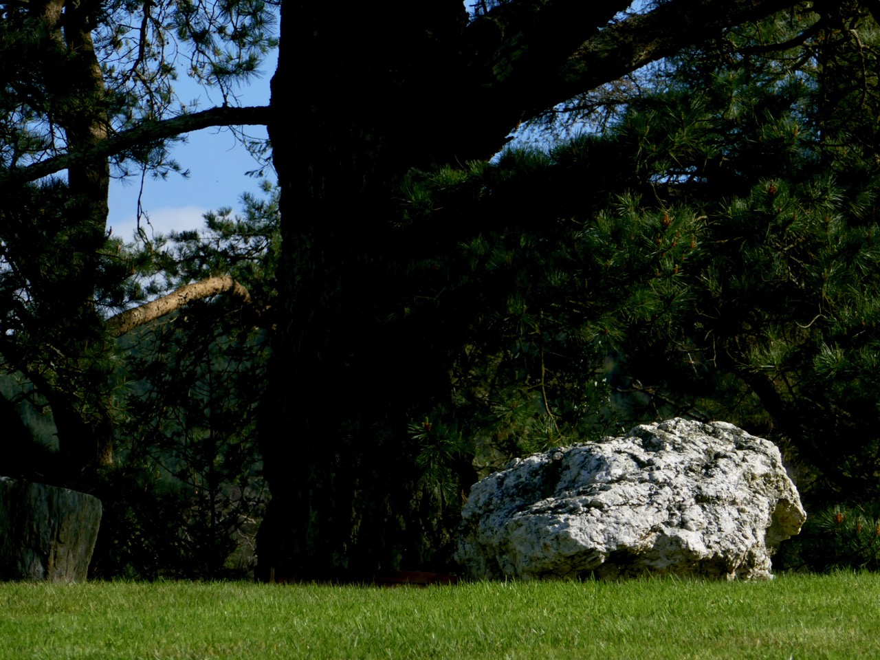
The Boulder Burial is a large erratic of quartz. Quartz was highly prized in prehistory and was used in various ways. Not surprising, given how it gleams and sparkles in the sun. This one is visible from across the valley

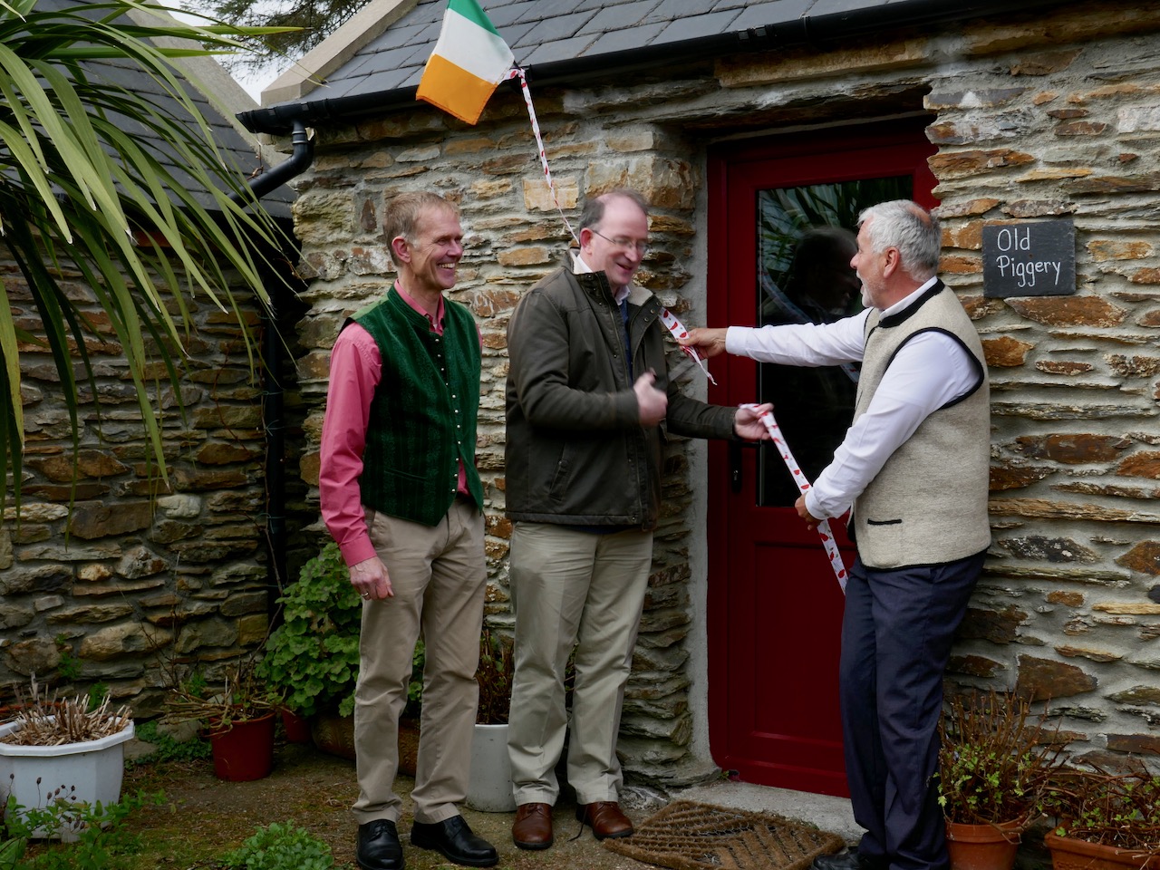
Today was the official unveiling of their Visitor Centre – a converted piggery now in use to display a set of explanatory posters developed by Prof Billy O’Brien and Nick Hogan of UCC. Billy has excavated this site and two other Boulder Burial sites and is more responsible than any other researcher for what we know about the age and possible functions of Boulder Burials. You can read my posts, Boulder Burials: a Misnamed Monument? and Standing Stone Pairs: A Visit to Foherlagh for more about these kinds of monuments.

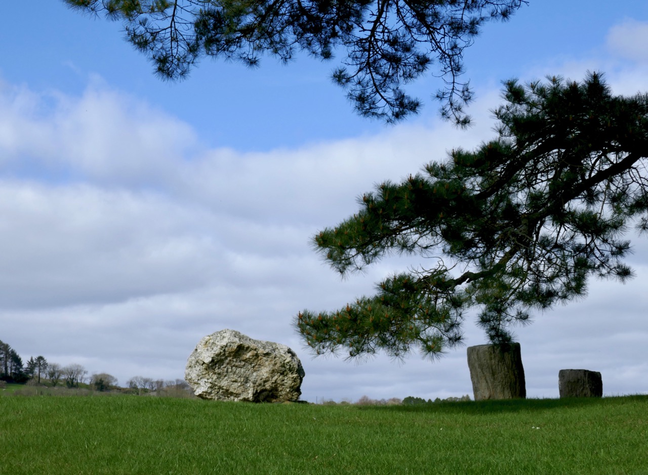
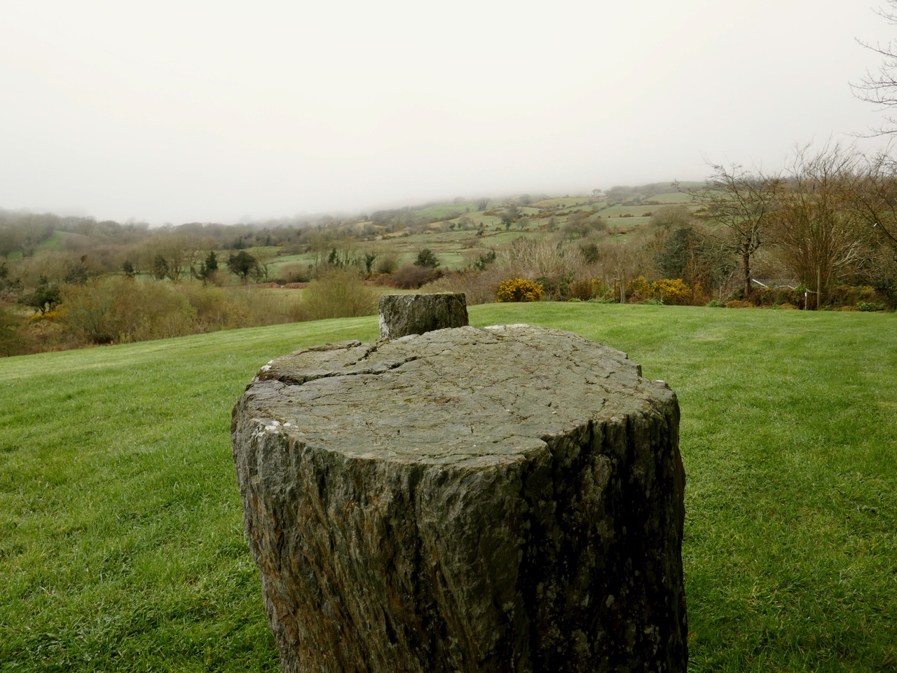
The standing stone pair is of the local slatey sandstone, chosen to be flat on top – no doubt this served some kind of purpose

Billy was there to do the honours and to give us a talk on the site. When he excavated here in 1989 it rained, he told us, every day of the dig. Although no carbon-datable material turned up he was confident in assigning a mid-to-late Bronze Age date – it’s about 3,000 years old.

Cutting the ribbon to officially open the Visitor Centre

He asked us (there was quite a crowd!) to consider the setting of the boulder burial and standing stone pair in the landscape, and spoke about their use to memorialise high-status individuals and to mark locations from which sunrises and sunsets might be observed at solstices and equinoxes.

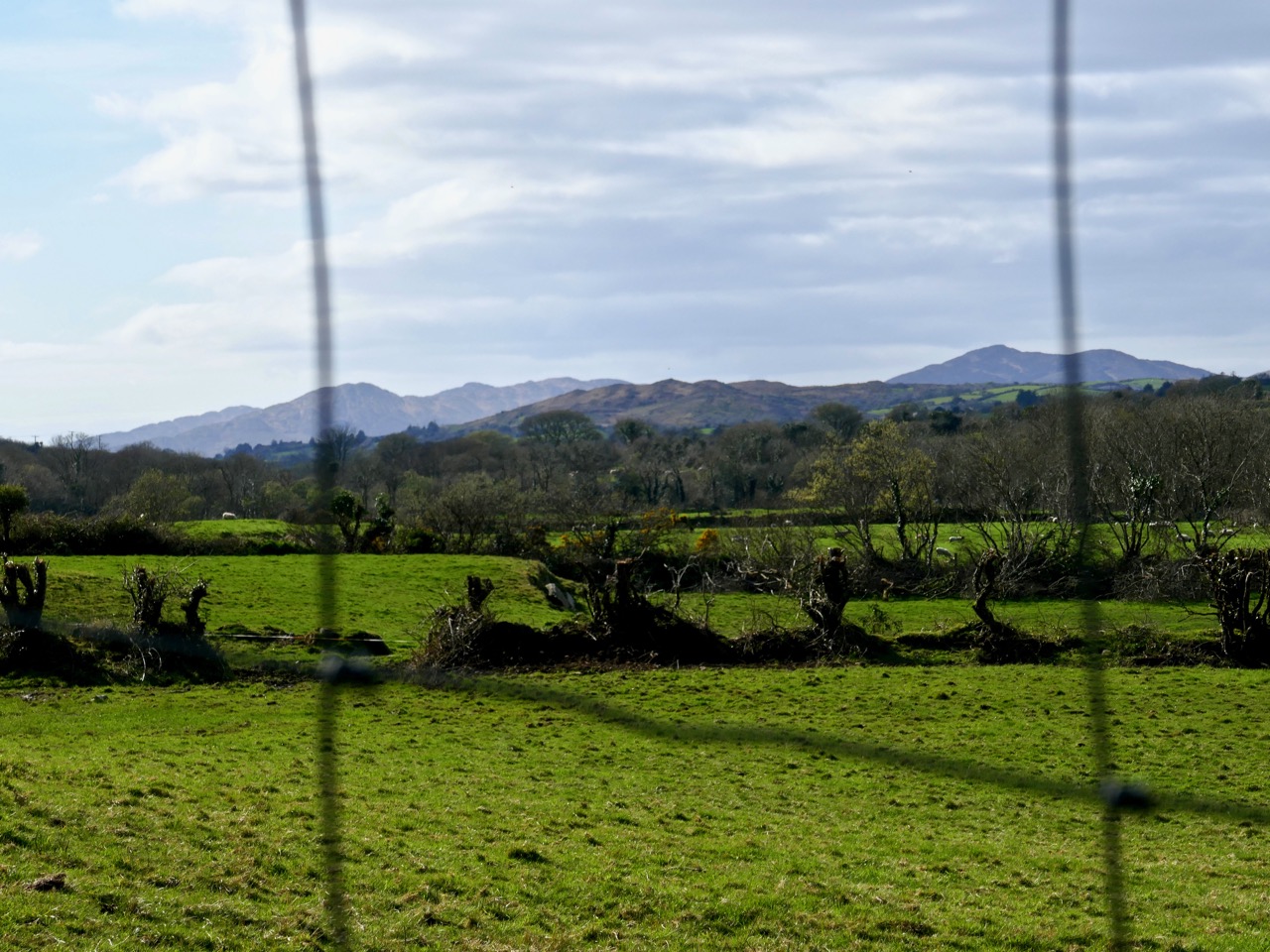
Unfortunately tree plantings have obscured the view from the boulder burial, but this is what it looks like. You can see all the way down the Sheep’s Head to Seefin Mountain

Ballycommane is a very special place indeed and we are very fortunate that Andy and Ingolf are committed to being good stewards of the prehistory they have inherited. Thank you, Andy and Ingolf – and for that yummy cake too!


Mizen Magic 7: Dunbeacon – History, Prehistory and Questions of Access

A cold and clear January day is just the ticket for a trip to the Northside of the Mizen. While Robert writes about the life of Northsiders, I want to look specifically at the area known as Dunbeacon. On rising ground that ascends to Mount Corrin and overlooks Dunmanus Bay West of Durrus, Dunbeacon offers spectacular views and lots to explore.

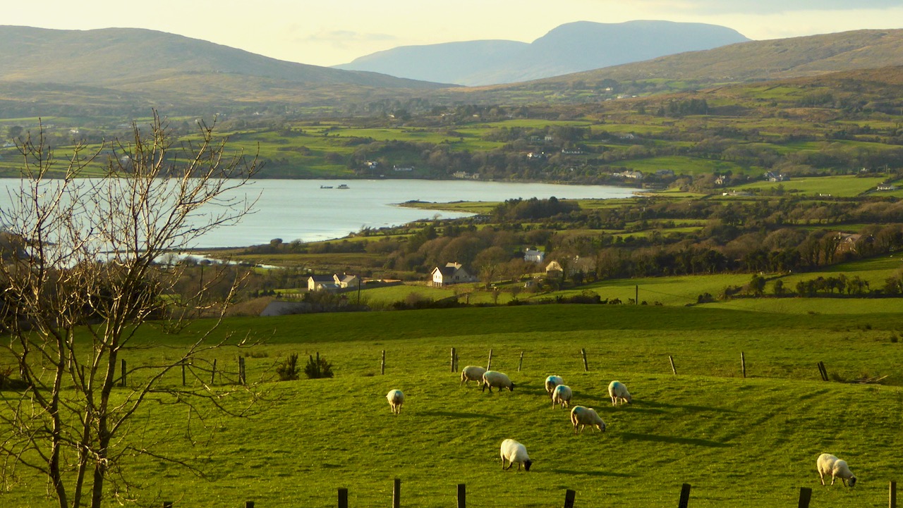
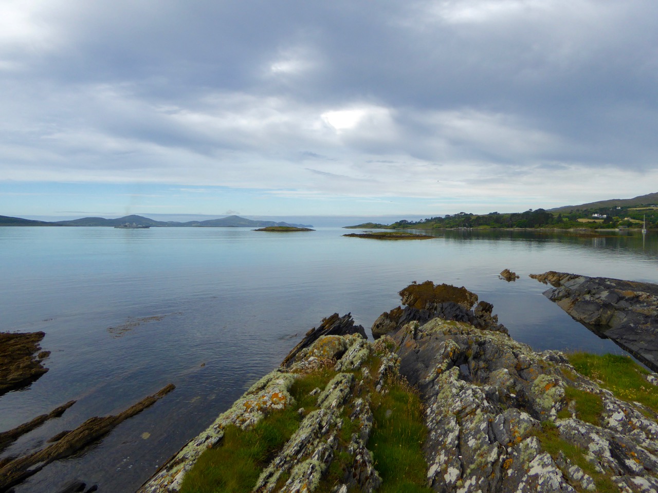
Looking across to The Sheep’s Head at the head of Dunmanus Bay, near Durrus

In the last few years the Sheep’s Head Way has expanded into parts of the Mizen Peninsula. This is a very welcome move and the SHW committee is to be commended on taking this initiative. Today we followed part of this new trail through Dunbeacon townland and were rewarded with glimpses of the past, lovely vistas, Caribbean blue seas – and biting cold!

This section of the trail runs along a scenic boreen

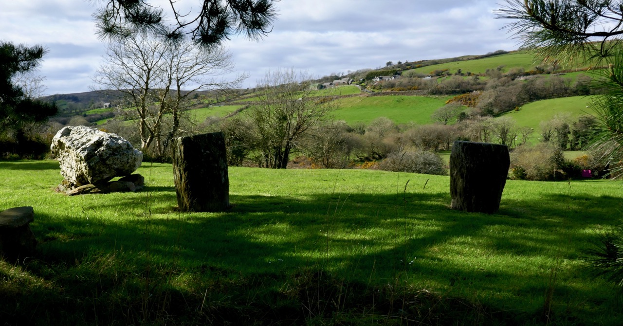
Dunbeacon is synonymous with the Stone Circle that carries its name. Robert and I have visited it on a couple of occasions in the past. We have knocked on the farmhouse door for permission to cross the land to get to it and never found anyone home. We proceeded anyway, albeit slightly nervously as it was an obvious trespass on a working farm. The stone circle is sited on a small plateau with views east and south to Mount Corrin and Mount Gabriel, although rising ground to the northwest obscures Dunmanus Bay.

Mount Corrin: a large cairn on top can be seen from many miles away. We have walked up to this cairn – see our account of it here

The circle is incomplete so it is difficult to know exactly how the builders intended its orientation as the portal stones and recumbent are missing. It may have had a central monolith. (For a complete explanation of Stone Circles see our post Ancient Calendars.) However, the clear view to the east and south horizons are design features that link it to sunrise and moonrise at certain times of year.

This photograph of Dunbeacon Stone Circle, and the one that heads up this post, were taken before the access trail (described below) was built 

Intriguingly, Michael Wilson, of the Mega-What Website, says that practically the stone circle is really half a monument: what it takes to complete it for calendrical purposes are two other elements across the valley in Coolcoulaghta, a standing stone (now gone, but its position is known) and a standing stone pair.

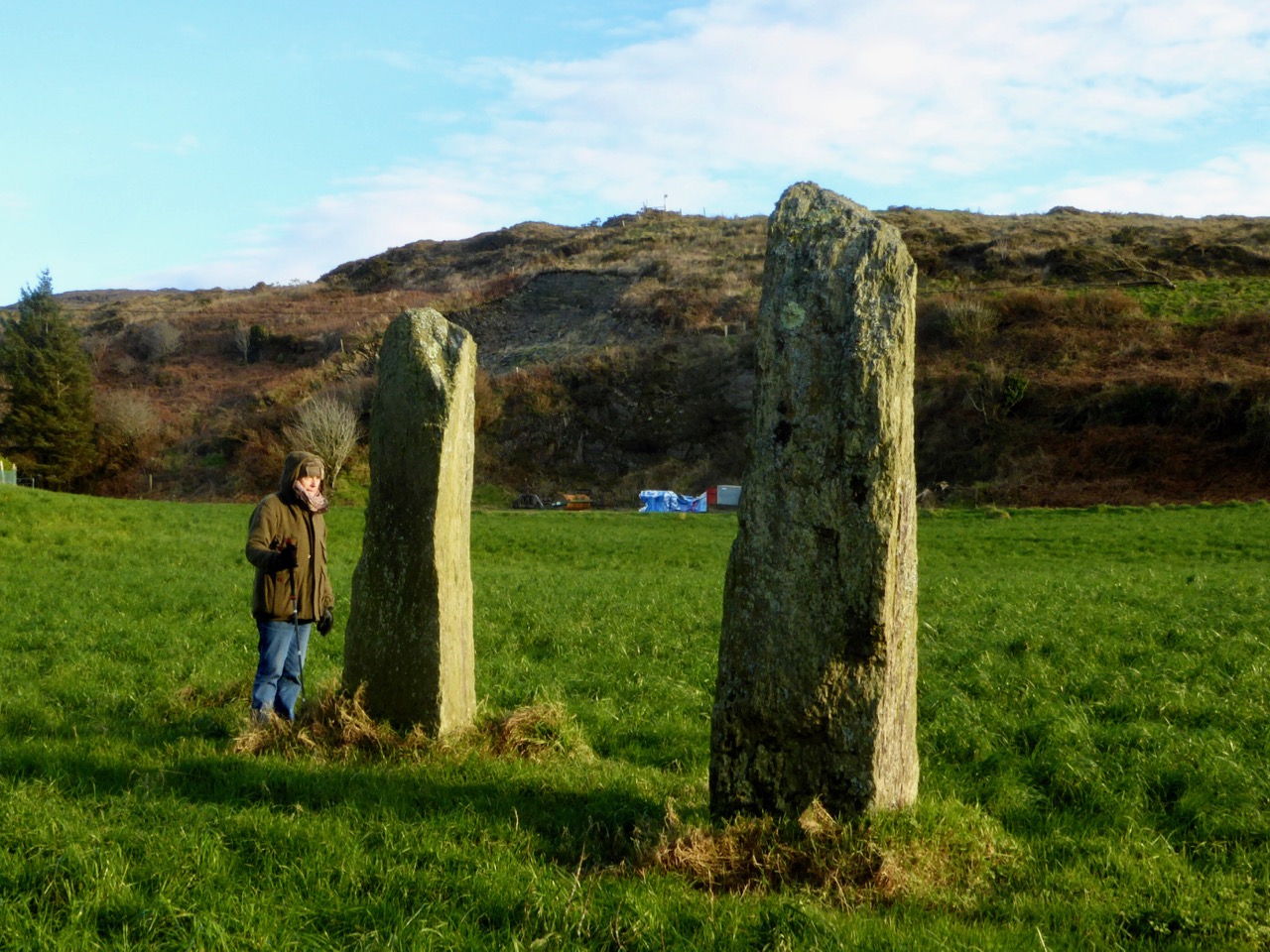
The Coolcoulaghta standing stone pair, with Robert for scale. These stones were knocked down in the past but re-erected following a local outcry. Access and parking are now provided

Having studied the area carefully, Mike saysThis site [the standing stone] combines with the Stone Circle 400m away at Dunbeacon to enable observations of the lunar nodal cycle in all four quadrants as well as giving complete all year round solar coverage. It thus seems likely that the Standing Stone was an original outlier to the Stone Circle and that the Stone Pair was added later, probably by a different group of people, in such a way as to make a minor technical improvement.

It’s further than it looks in this picture, but there is a clear view to the stone circle from the standing stone pair. In between is the most annoyingly positioned electricity pole in Ireland

As part of the development of the new walking route, the SHW group has negotiated access to the Stone Circle, and has, in fact, built a fenced trail across the fields and up to the circle. This, of course, is excellent in that it finally provides open access to this wonderful site. There is, however, a problem: the stone circle is now surrounded by a wooden fence on all sides that severely impacts on the appearance and atmosphere of the site. While it will keep cattle away from the stones (cattle can do a lot of damage to sites like this) and provide a safe zone for walkers if there are animals in the field, it has become impossible to relate to the site in the same way as we used to.

The last section of the fenced trail. The fence around the stone circle can be clearly seen now

The author of the Facebook Page Walking to the Stones expressed himself thus when he saw the new enclosure: “The wire fenced avenue turns into a wooden fenced coral. The stones, imprisoned in a begrudgingly small pen. The wildness has gone, the mystery has gone. You might just as well be standing in a sterile museum environment. What have they done?” His comments generated a chorus of agreement.

Indeed, it is hard not to look in dismay at a fence like this. It makes taking photographs of the whole circle well-nigh impossible. It creates an overwhelming visual barrier between the circle and its surroundings. As an erstwhile archaeologist, I also have to wonder what was disturbed as the post holes were dug. And yet, all of this was done with the best of intentions, and it has succeeded in providing public access to the site. I would be interested in our readers’ thoughts.

It is quite difficult now to get a photograph of the entire circle. This one is partial, and shows a clear sightline to Mount Gabriel

Before we leave Dunbeacon, I can’t resist a quick trip down to what’s left of Dunbeacon Castle. One of a string of O’Mahony Castles on the Mizen, this tower house once guarded the head of Dunmanus Bay. Its siting is strategic – no ship was going to penetrate to the head of this bay without being in clear view of this stronghold. The O’Mahonys controlled fishing and trade in this area from the 12th to the 16th centuries and became fabulously wealthy in the process.

What’s left of Dunbeacon Castle

This castle would once have been the dwelling place and administrative centre of a powerful chief. He would have hosted banquets where his poets and musicians entertained the guests with stories and song. Alas, after the Battle of Kinsale all the O’Mahony tower houses in this area were taken by the British and many that were left standing were dealt a final blow by Cromwell’s cannon.

Not much left – but what an incredible position!

The centuries pass. The old Mount Corrin mines are no more. The sizeable population sustained by potatoes was devastated by the Famine. Now the land is grazed by cattle and sheep and a few farm houses dot the landscape. It is a peaceful and beautiful place. Do the walk – you will be in the footsteps of farmers and chieftains, of herders and megalith builders and astronomers, of miners and fisherfolk who have called this place home for thousands of years.

A Taste of West Cork 2017

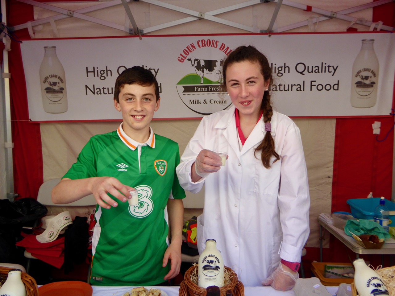
Young Ambassadors for Gloun Cross Dairy

We have this incredible food festival down here – A Taste of West Cork. I wrote about it in 2014 in this post and in this one. This year it was bigger and better than ever, with an astounding variety of events to choose from. We signed up for something every day and we are now in recovery.

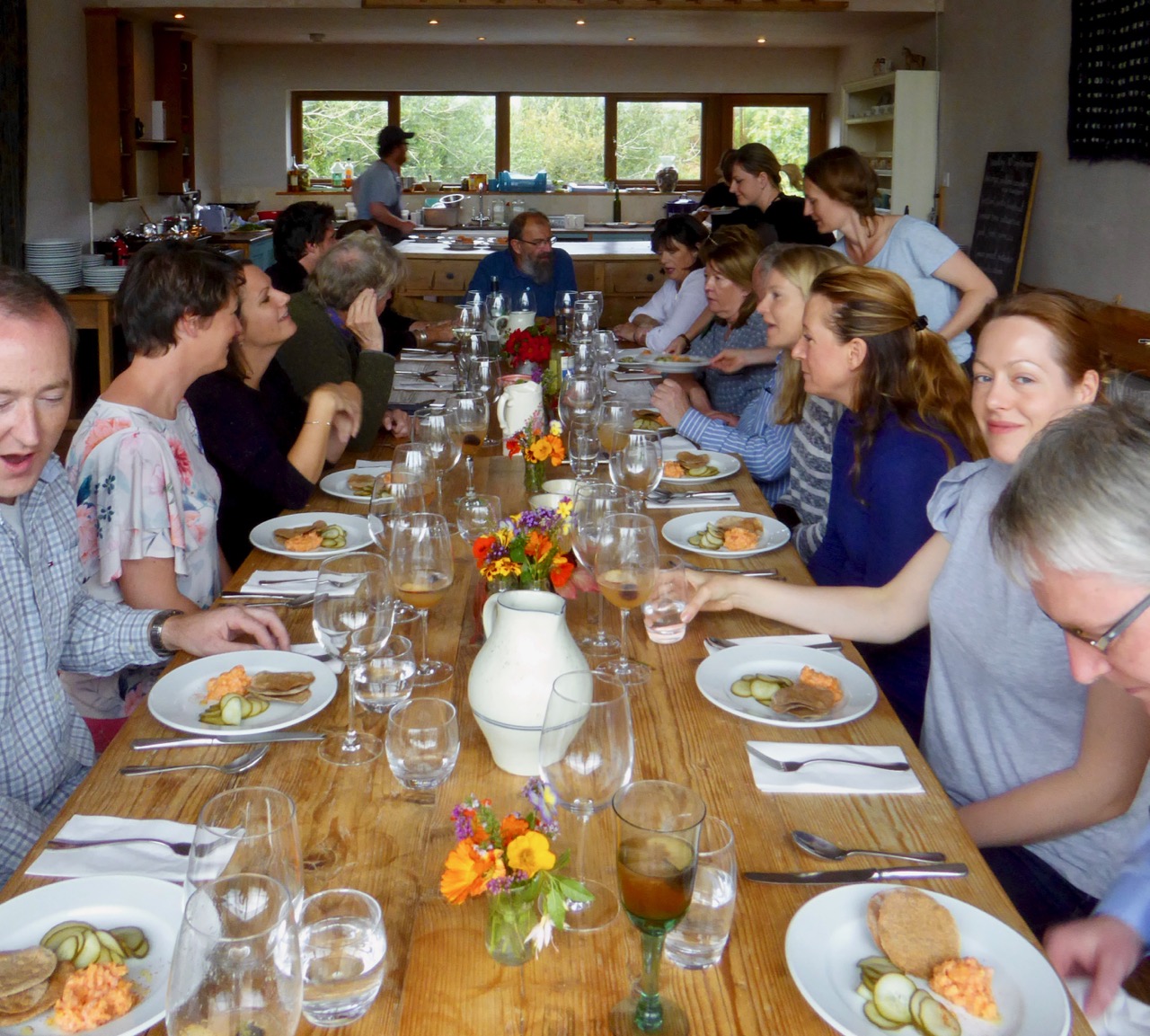
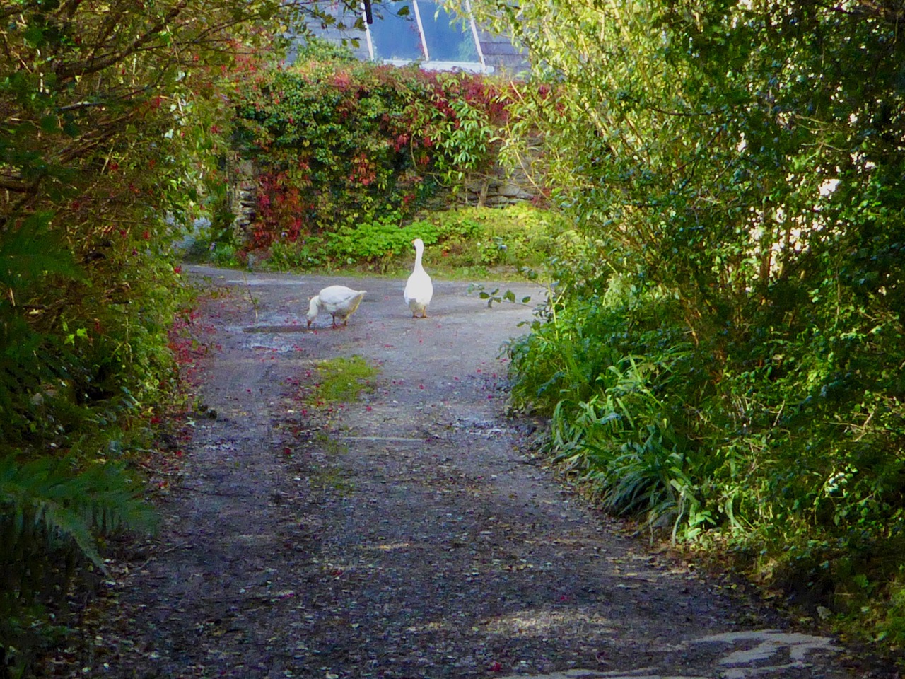
We started off with a Sunday brunch in Glansallagh Gardens, cooked by Chef Bob, in the tractor loft of our old friend Richard, who supplies fresh and delicious vegetables to many local restaurants. Five courses, long harvest tables, strangers from all over chatting amiably, swapping stories and laughter, and then weaving home past the guard geese to snooze away the rest of Sunday.

We love Durrus Cheese and jumped at the chance to attend a demonstration of how it’s made and a tasting. Everything is local, everything is done by hand, the taste comes from years of making and a passion for quality. It felt like a privilege to glimpse behind the scenes.

Sarah, second-generation cheese maker, explains the different processes that produce the Durrus cheeses

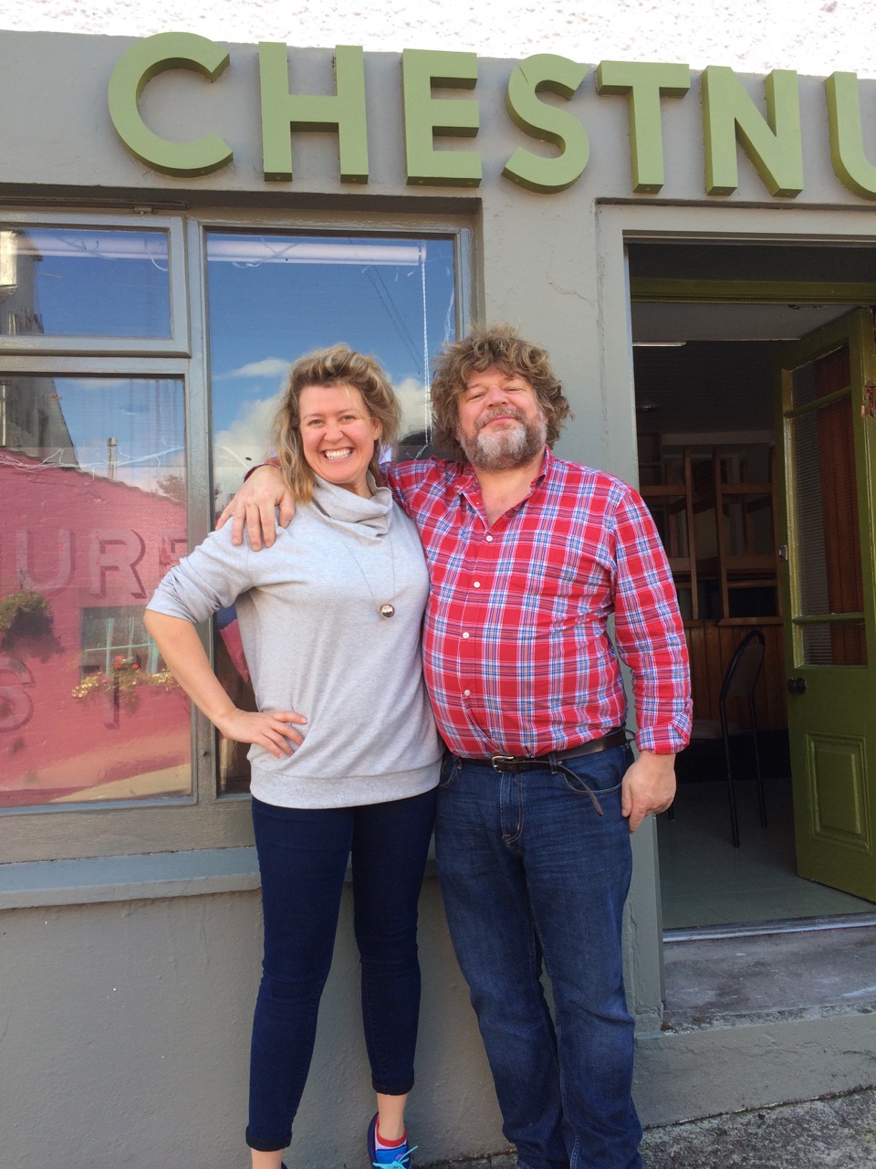
The Chestnut Tree was a beloved Ballydehob pub, but it’s been closed for years. Recently, however, it was revived as an Airbnb and during the Festival was re-purposed once again as a restaurant. It worked wonderfully well as a convivial space.

French chef, Antony Cointre, was a popular choice at the Chestnut Tree

We signed up for a Ramen Bowl menu and were not disappointed. Chef Brian from Belfast makes everything – everything – from scratch and showed us how he makes the noodles. To taste his broth is to truly understand the concept of umami.

Our dining partners were Jack and Julia Zagar. Julia is the genius behind the dynamic e-presence of Discover Schull – website, Facebook Page and Instagram account. Jack generously lends his own images to local initiatives

From the Casual, we graduated to the Gracious: dinner at Drishane House was sumptuous. Drishane is the ancestral home of Edith Somerville, now the residence of Tom and Jane Somerville. Jane is a wonderful cook and Tom a genial host, and our fellow guests were a lovely mix of local and from-away. We dined by candlelight surrounded by portraits of Somervilles, wine and conversation flowed, delicious courses kept appearing (all locally sourced as is the ethic of this Festival), and the port and cheese arrived just as we felt that truly an evening could hold no more enjoyment.

Drishane House in the spring, and a portrait of Edith Somerville in her role of Master of the Fox Hounds

By no means is this Festival only about dinners and chefs. We were attracted into Levis’s pub in the early afternoon by the sound of music and found a lively session in full swing – the end of a walking tour of Ballydehob that promised soup (made from vegetables from that morning’s tiny local market) and music as a restorative after the exertions of the walk. Soup was pressed upon us and we didn’t object.

Bob, Liam and Joe entertain the walkers, while Robert has fun with Johanna

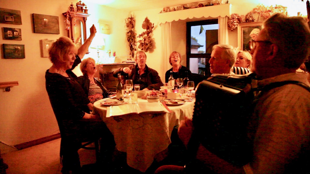
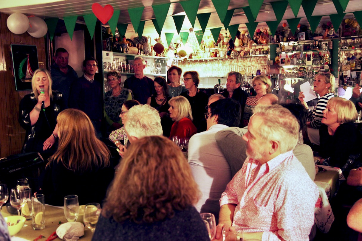
Perhaps the most fun we had was also at Levis’s – it was called Sing for your Supper and the idea was to eat and sing, and whoever was judged to be the best singer would win their supper. It was an absolute hoot, with lots of good sports belting out old favourites (I personally led a version of Satisfaction that would curdle milk) and several excellent singers enthralling us all. The food was superb, prepared by an acknowledged top Irish chef, and local man, Rob Krawczyk

Thanks to Colm Rooney of the wonderful local web design agency Cruthu Creative for the photos of Sing for Your Supper. Ah sure, you can’t belt out the numbers and be snapping at the same time, now can you?

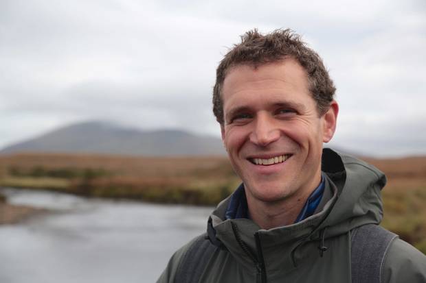
We bonded as a table – there were six of us, and we were thrilled to discover the identity of the youngest member. It was Eoin Warner, and if that name means nothing to you, it will one day. Eoin narrated the Irish version of Wild Ireland, Eire Fhiáin, shown to rapturous acclaim on the Irish TV channel. The photography was extraordinary and opened many of our eyes to the wildlife we have here. Forget David Attenborough and the Amazon Jungles – to see a humpback whale bubble-netting up close is to realise how rich the oceans around Ireland are. Here’s an extract from Eire Fhiáin, with Eoin’s lovely, natural, narration and his deep sense of wonder. And – he has a great voice and won the competition!

The photo is from an Independent article that nicely sums up audience reaction to the program

Yesterday we went on a Cultural Taste Tour of Bere Island. It was our first time and it’s no exaggeration to say that we fell in love with it. I won’t say much about it because Robert’s post will fill you in, but I CAN say that we’re already planning our next trip back there.

One of our favourite stalls in the regular Saturday market had also set up in the Street Market – Olives West Cork is our source for excellent olive oil and the best parmesan cheese, as well as an amazing variety of nibbles

The week finished, as it always does, with the Skibbereen Street Market, and I will leave you with a slideshow of this colourful extravaganza.

This slideshow requires JavaScript.

Start planning now for next year! Everything books up quite quickly when the program is announced and if you leave it too late there may be no place to stay and no tables left unclaimed. It will be the among the best few days you’ve ever spent!

Cycling the Sheep’s Head

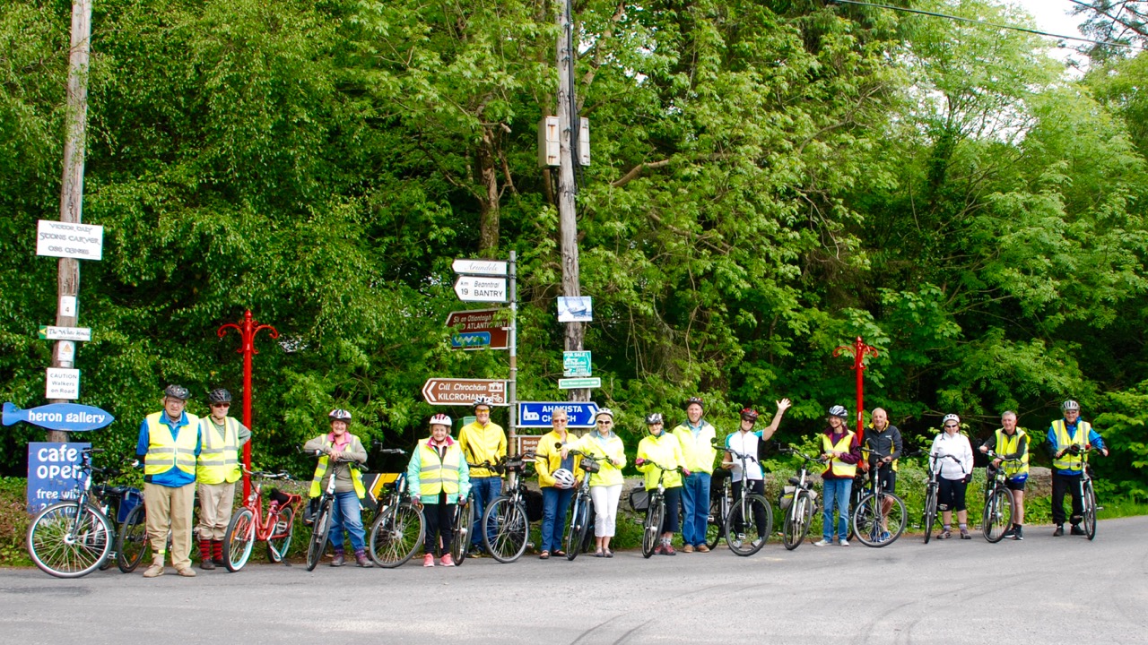
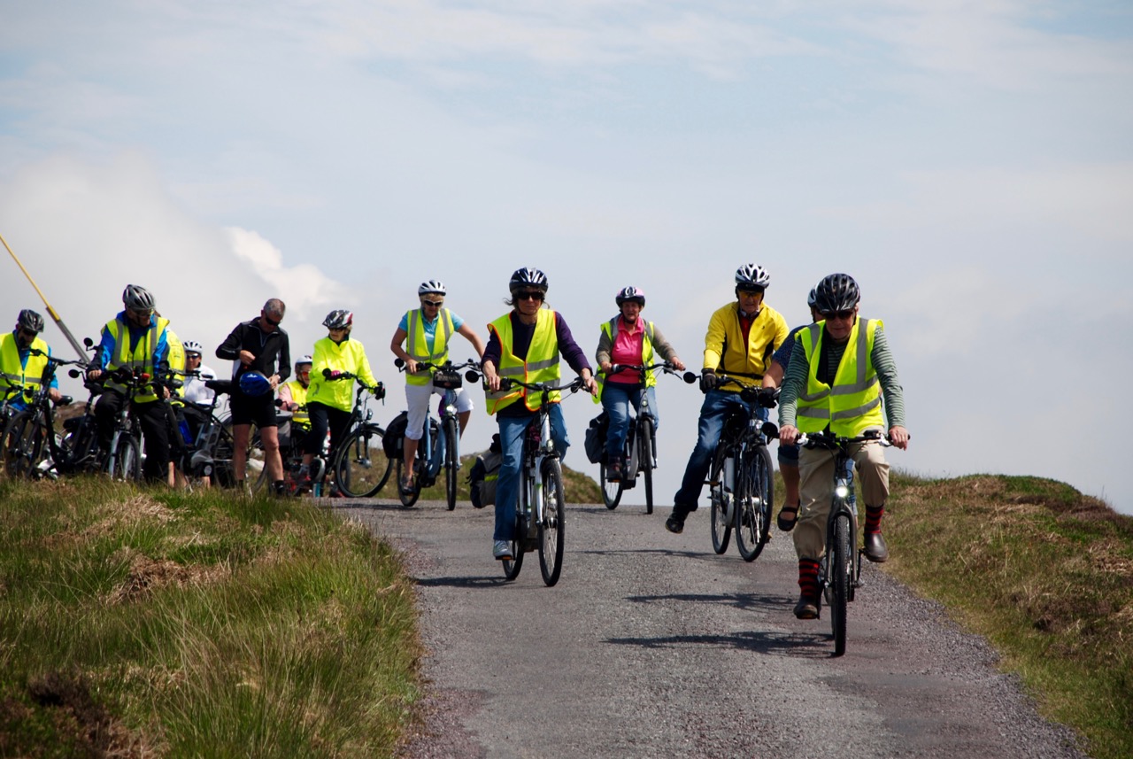
Group at Ahakista

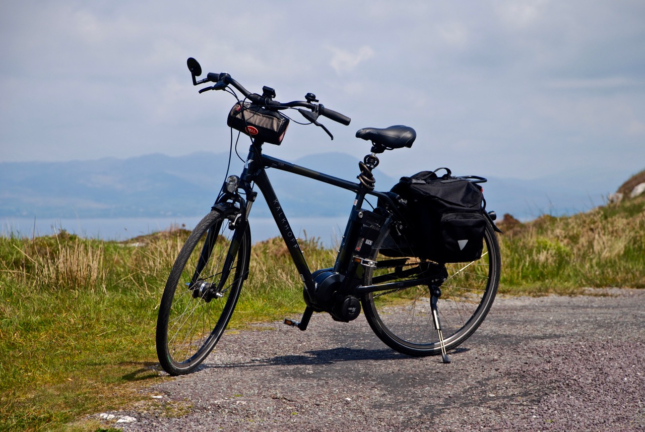
The joy of cycling! The fresh air! The wind in your face! The sun on your back! The sights, the sounds, the smells! Wait – those killer hills! The wobbly legs, the burning lungs! No problem – we have Kalkhoffs!

Is  that enough exclamation marks for any decent blog post? And what on earth is a Kalkhoff?

DSC_0073

Sheeps Head light
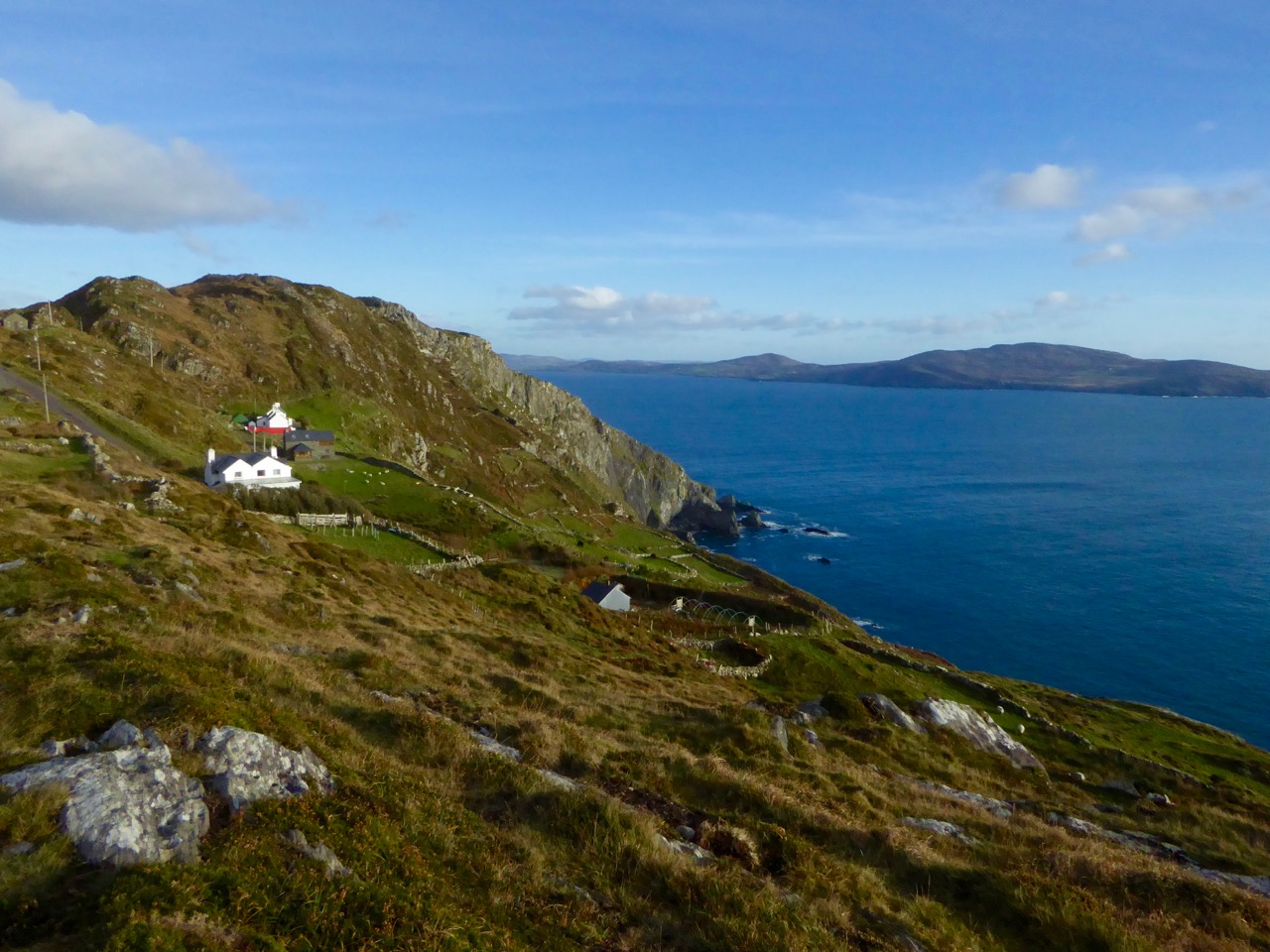
Above, a Kalkhoff electric bicycle and below, the Sheep’s Head – the perfect combination

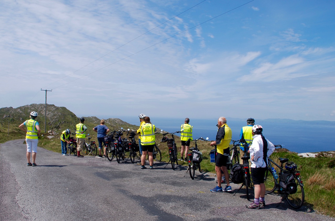
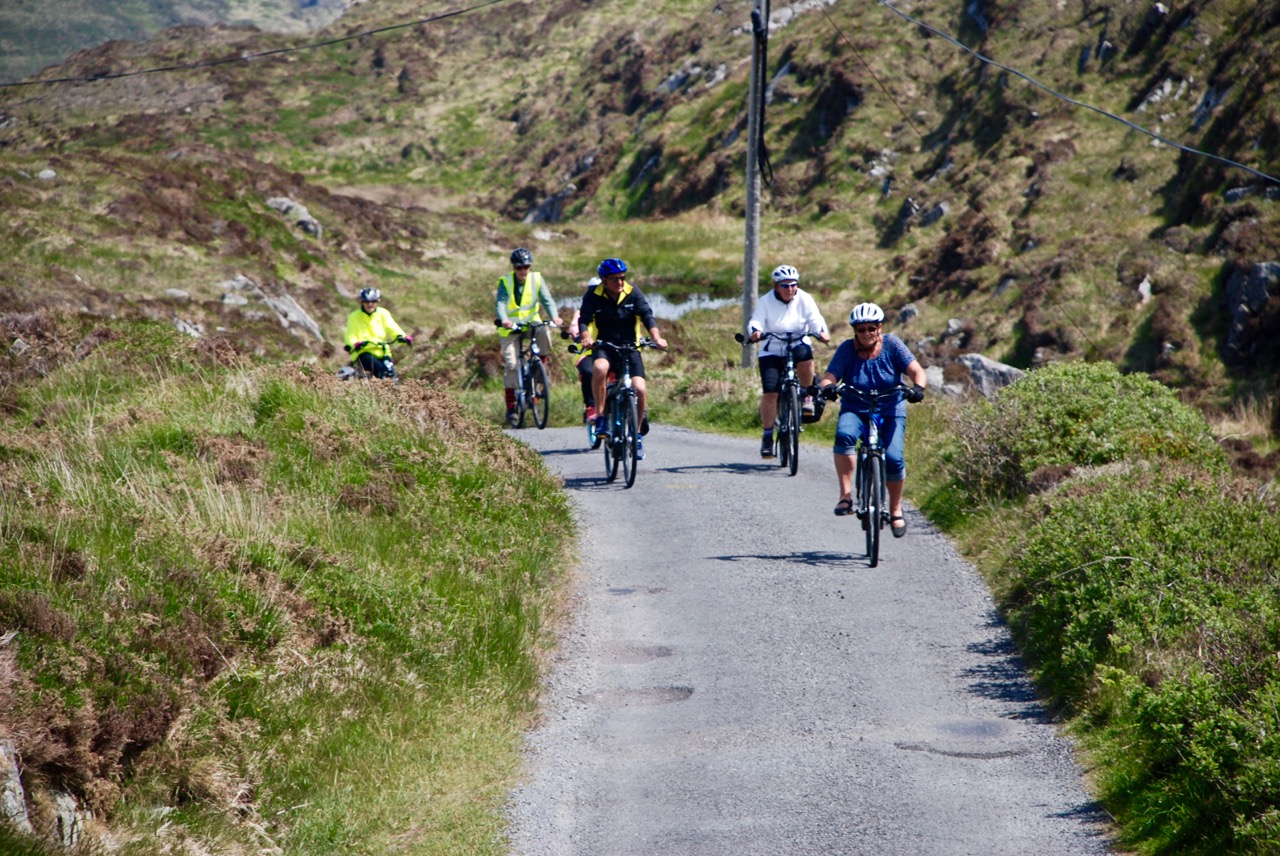
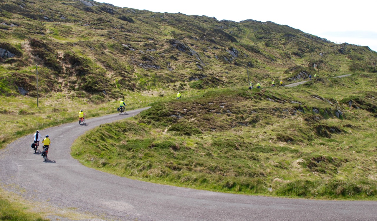
Earlier this year we cycled the length of the Sheep’s Head and back, all of us on electric bicycles, mostly Kalkhoffs. The day was organised by Patrick Murray and Helen Guinan of City View Wheels in Cork, and a masterpiece of organisation it was, featuring stops for coffee, lunch and a pint at the end of the day, followed by a lovely dinner in the Maritime Hotel in Bantry.

stopping for the view

Riding an electric bike has revolutionised cycling for me and for many others. Let’s face it, West Cork is nothing but hills, and huffing and puffing up one of them, pushing a bike, can take the joy out of a day’s adventure. But with some battery-powered help, you can stay on the bike and arrive at your destination still able to breathe.

The Old Creamery at Kilcrohane is a great place for lunch

It’s like having the wind at your back, giving you a gentle push when you need it. It’s still a work-out (you don’t stop peddling) but it just makes the whole venture doable. No, more than doable – pleasurable!

Lighthouse Loop

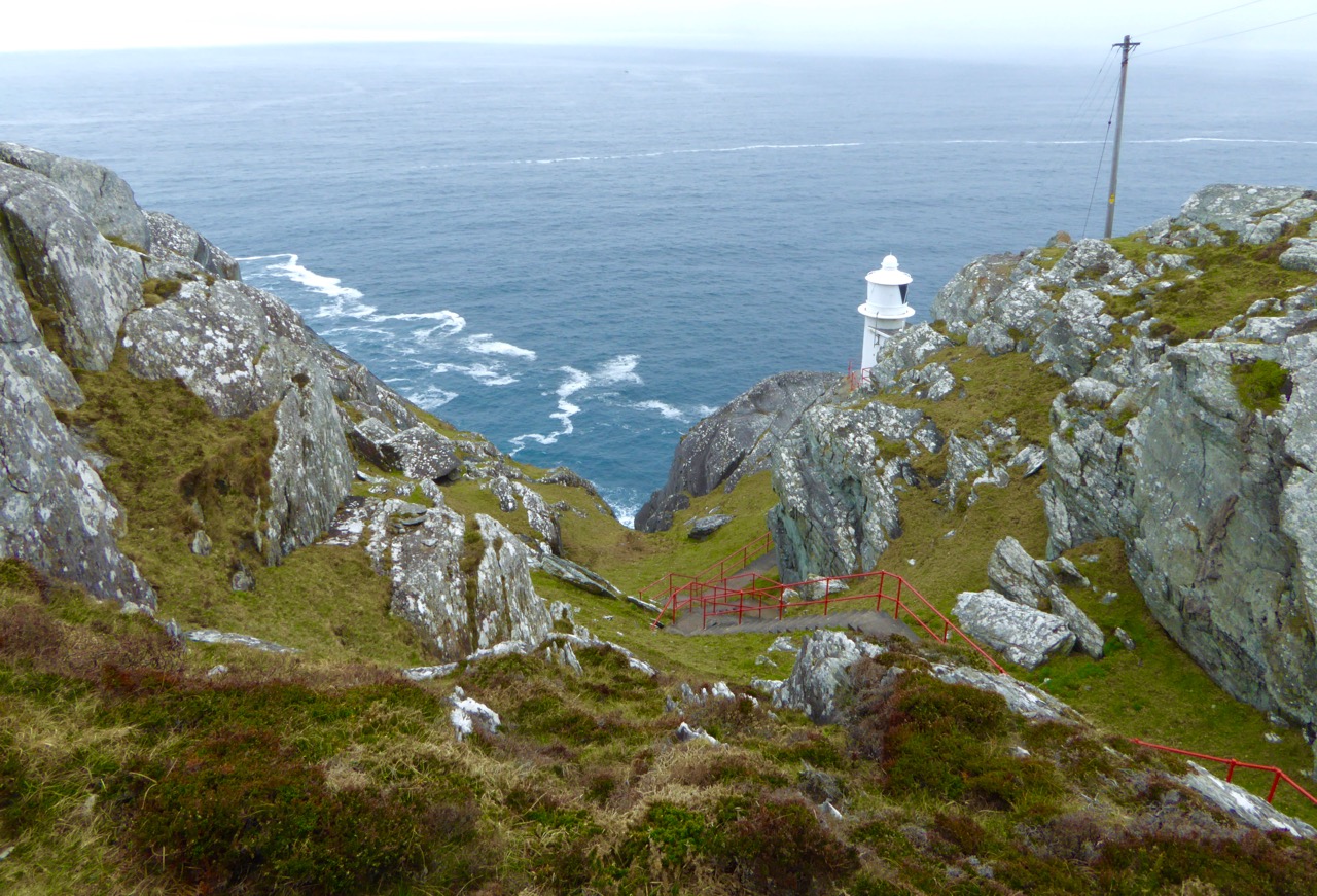
Sheeps Head LighthouseAbove: This is as far as you can drive or ride on the Sheep’s Head – after this, it’s a goodly walk to the lighthouse (below)

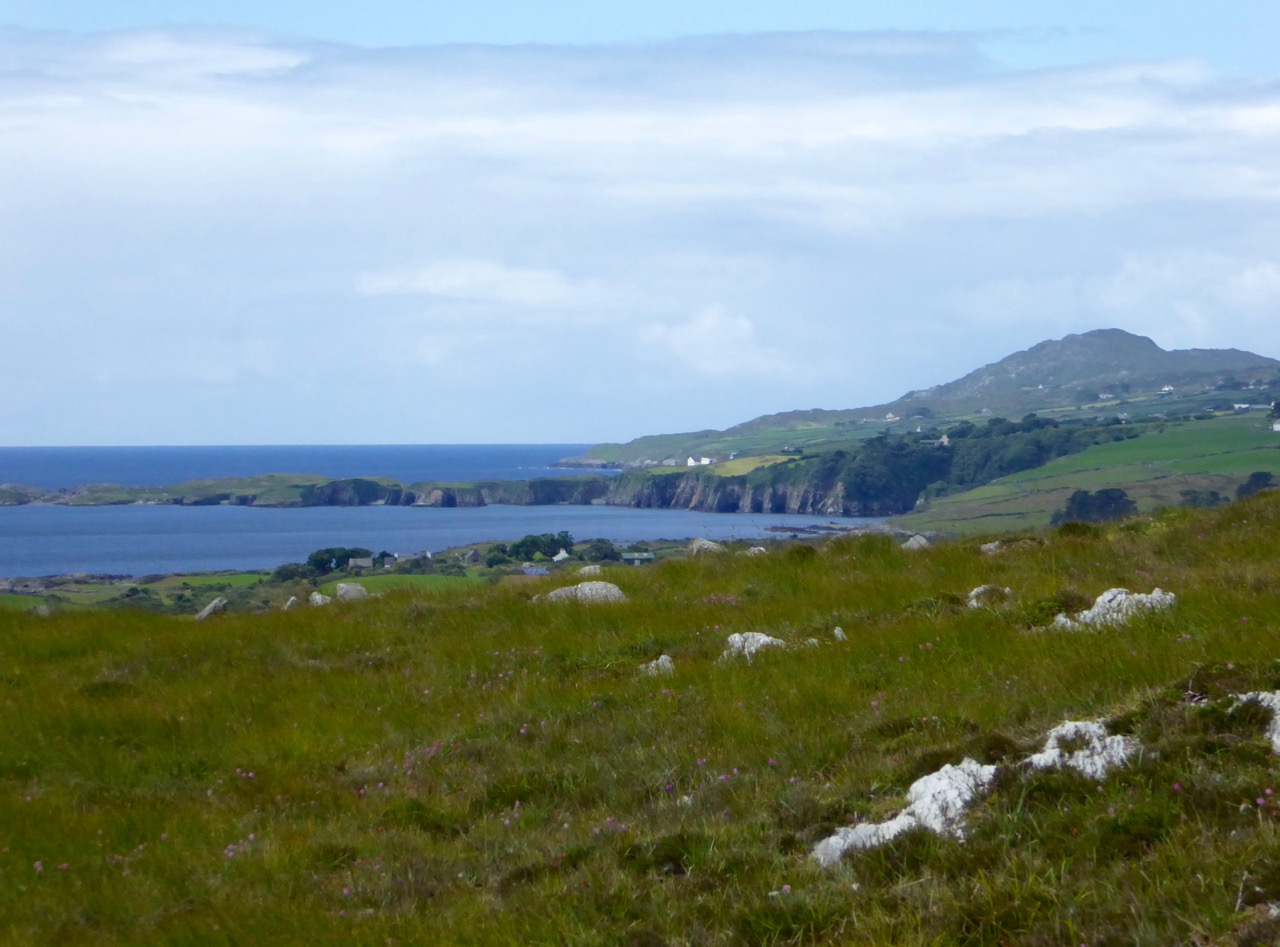
The Sheep’s Head is the perfect destination for a day’s cycling – incredibly scenic, lots of places to stop for refreshment, lots of things to see and do along the way, and relatively flat. Note that word relatively – if you start at Durrus and cycle along the south side to the end of the road and back, you don’t climb over any mountains but you do gain considerable altitude – enough to ensure that you deserve lunch by the time you reach Bernie’s Cupán Tae.

up the last hill

The good news is that it’s mostly downhill all the way back to Durrus.

Leaving Cupán

It  was a congenial bunch and the day was full of chats and laughter. As the ‘locals’ in the group, it was lovely to be able to show off West Cork. We made a detour down to Lake Faranamanagh and told everyone about the Bardic School and the King of Spain’s sons.

sheeps head view


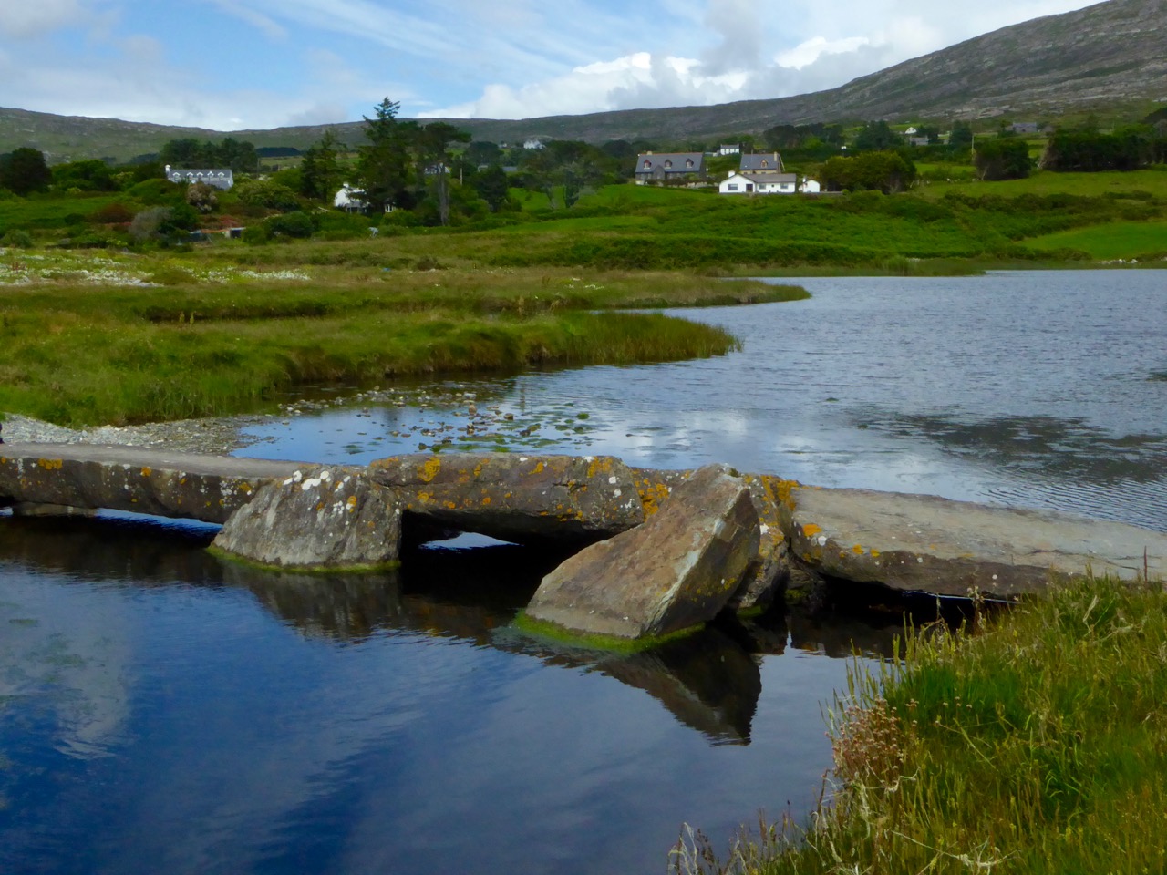
Lake Faranamanagh
The Sheep’s Head , Lake Faranamanagh

When you’re cycling with a group you can’t really stop to take photos whenever you want, so the photographs in this post are a mixture. Photos of the day itself were taken either by Patrick (thank you, Patrick!) or by me, while general photographs of the Sheep’s Head come from my own collection and were taken at various times of the year. They will give you a feel for what’s to do and see along the way.

Air India Memorial Site


Top: The beautiful and moving Air India Memorial site at Ahakista; bottom: Critters encountered along the way

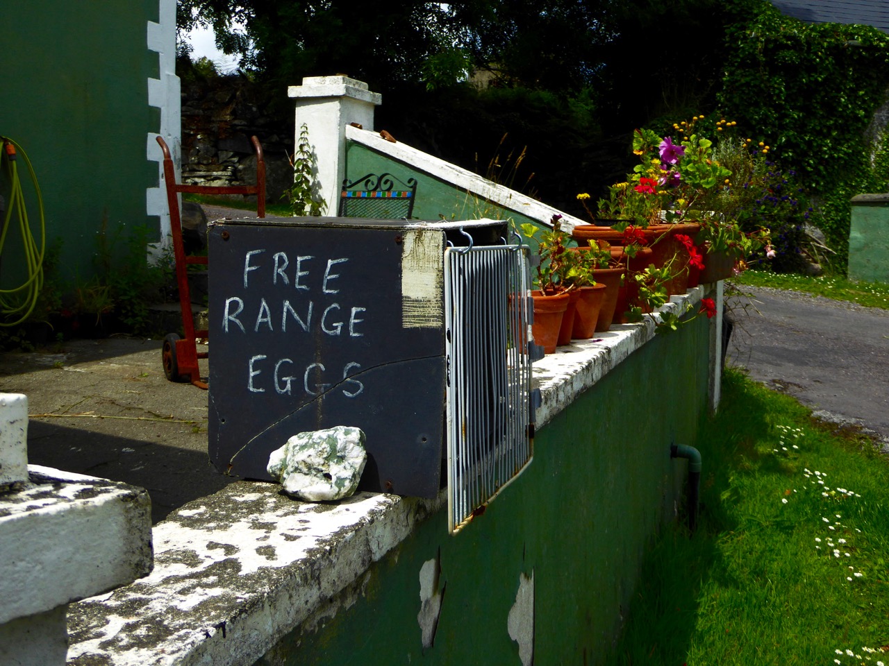
We were blessed with a lovely day for our bike trip. But then, as you know, the sun always shines in West Cork. And sure, if it doesn’t, you can hole up in a pub and sing, or stay home and cook up some fresh eggs from the happy hens at Faranamanagh.

eggs

If  you love to get out on a bicycle but aren’t the iron-man type, fear not – there is life after lycra!

road into Durrus

And if you just want to explore the Sheep’s Head, bike or no bike, take a look at our post on Walking the Sheep’s Head Way or head on over to Living the Sheep’s Head Way, the website of the Sheep’s Head and Bantry Tourism Co-operative, for lots of information the peninsula and places to stay. Or take a browse through The Sheep’s Head Way for all the walking routes – it’s the website of the voluntary committee that takes responsibility for the way-marked trails.

convoy

rainbow over mizen from Sheep's Head