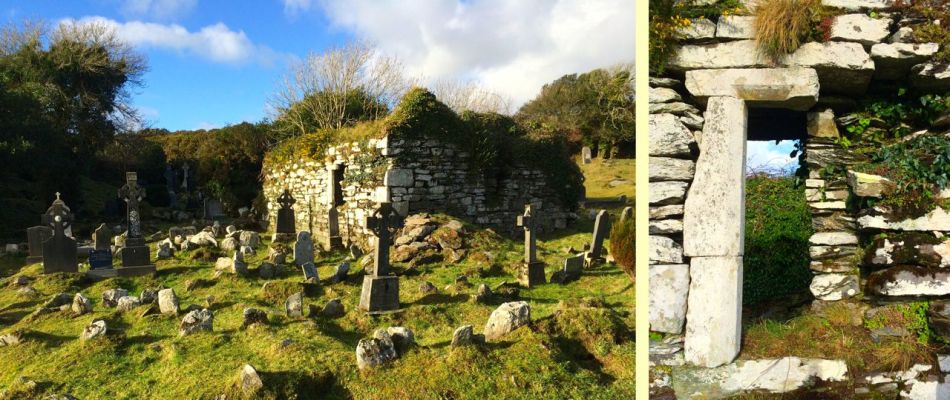
Mizen Magic 25: Gortduv Loop (Fastnet Trails)

Ready for a longer walk? If yes – this one is 13.5km and has strenuous stretches. If not, don’t worry – there are lots of possibilities for doing parts of the walk, or for going with friends and leaving a car at strategic spots. We didn’t do it all at once, in case you get to thinking we are super-fit hikers. (The sad truth is we can’t be too far from a coffee shop.) As with all the Fastnet walks, keep dogs on leads – we did encounter both cattle and sheep on this walk, right on the road. There is a short stretch of ‘green road’ and although it’s well maintained, it might be muddy after rains, so good shoes are essential.

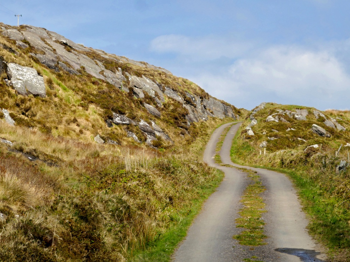
This loop takes you from Goleen on the south side of the Mizen right across the peninsula to the fabulously scenic north side. It skirts along the edges of the valley that runs between Knocknamaddree (Hill of the Dogs) to the west, and Knockaphuca (Hill of the Pooka, or Mischievous Spirit) to the east, rising to a maximum altitude of 180m (or about 600 feet). Most of the altitude is gained in the first half of the walk – so a packed lunch and water will be both welcome and needed if you’re doing the whole walk.
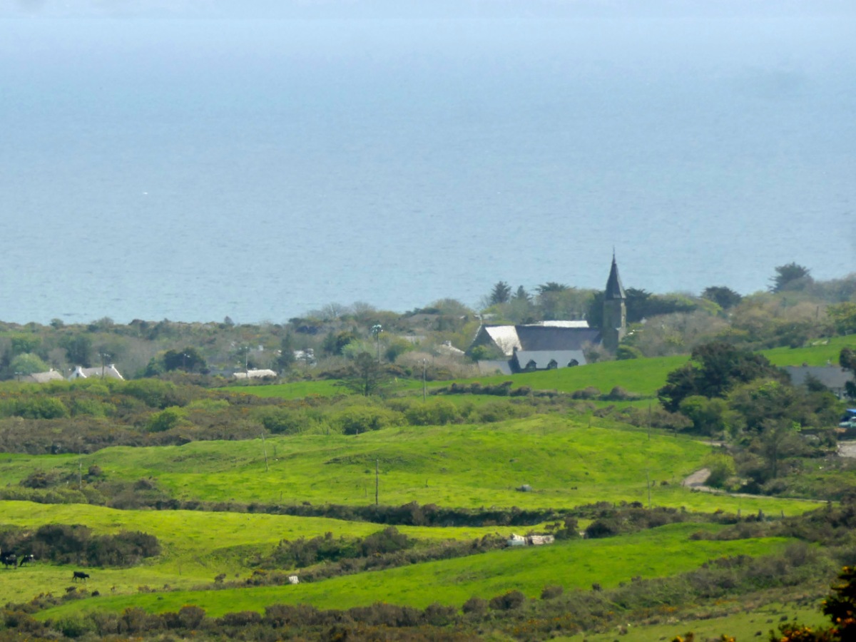
Set out from the Goleen Community Centre and the first part of the walk is shared with the Lissagriffin Loop – see our recent post on that walk. As you ascend, the views are immense – back to Goleen and across to Knockaphuca and Mount Gabriel beyond it.
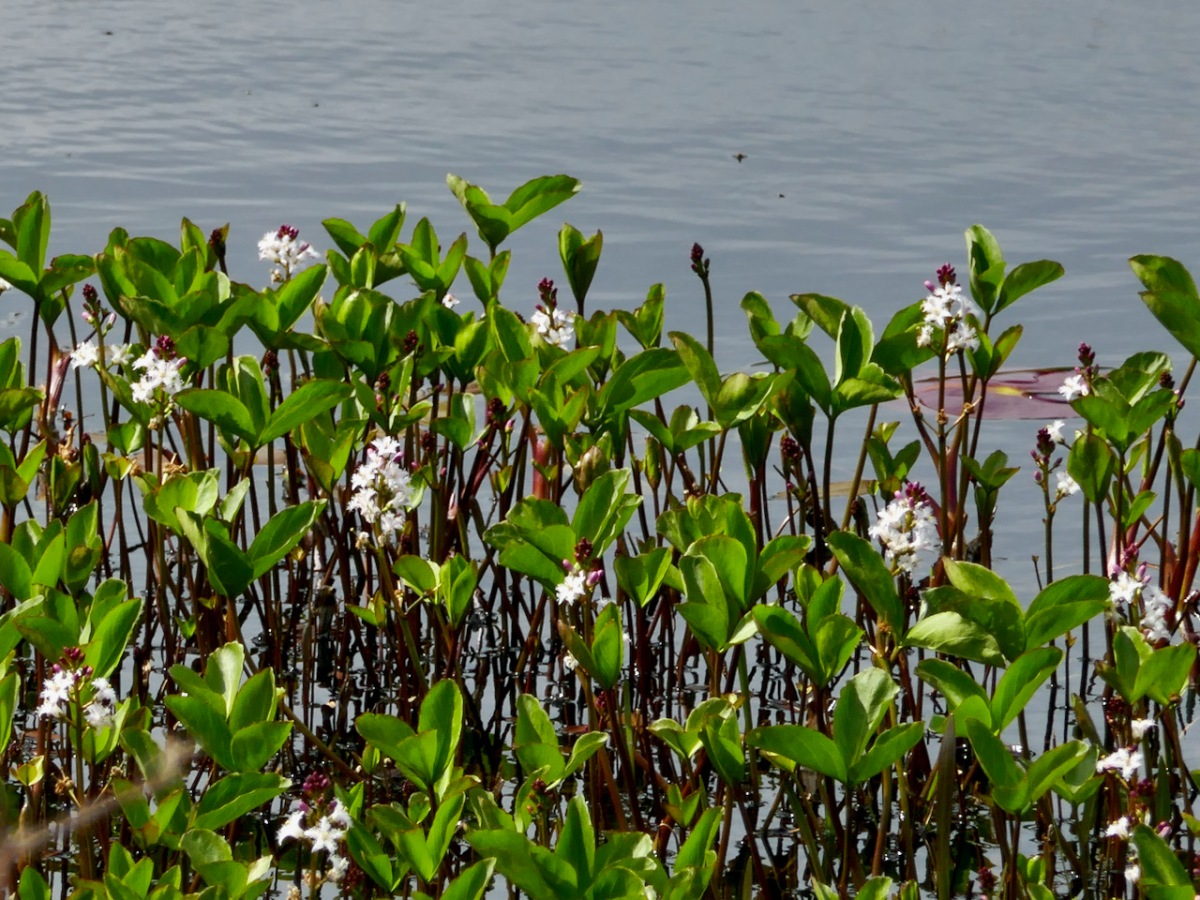
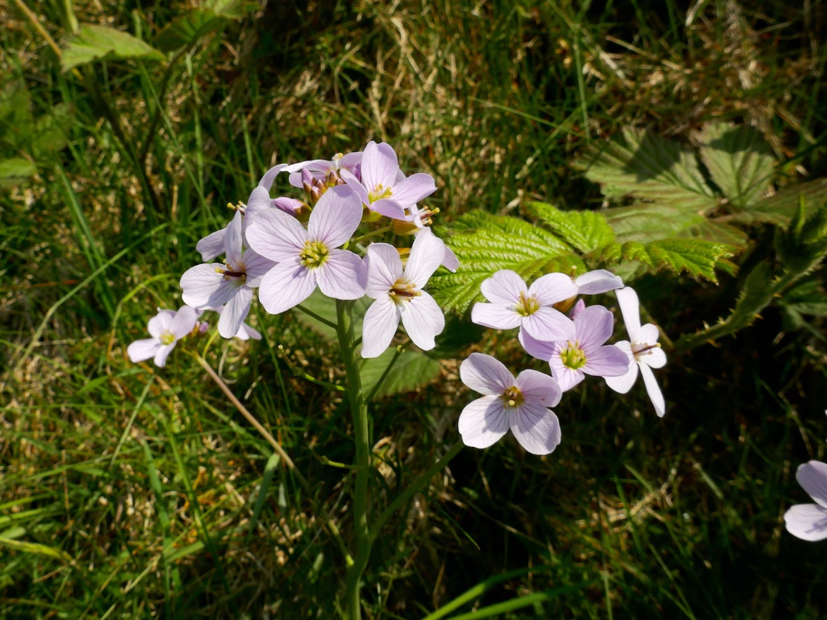
You’ll have to dig into your reserves of energy (or maybe have some chocolate) as you continue the climb. You are in true mountainy heathland now – look out for orchids in the spring and early summer, or Cuckooflower (below) in damp ditches.
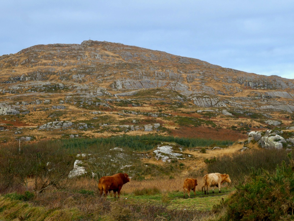
Watch out also for cattle on the road – we were startled by a line of plodding cattle coming towards us, and even more startled when we realised that one was a mighty fine bull. Fortunately, they turned into a field before we reached that spot, but there was no human around and the gates were open, so we can only assume we were simply in the wrong place at the wrong time as it is very unusual (although not unknown) to see cattle wandering like this.

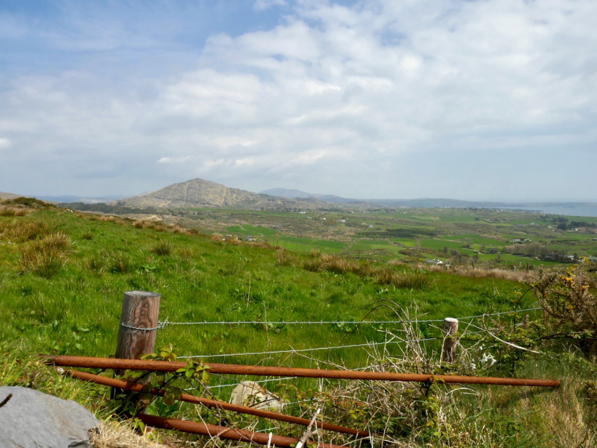
Coming over the top of the hill you have the whole of Dunmanus Bay in front of you and you can see clear up to the head of the bay, across to the Sheep’s Head, and to the Mountains of the Beara behind that. Have a nice sit down on some convenient boulder here – you deserve it – and just absorb that breathtaking sweep of land and sea.

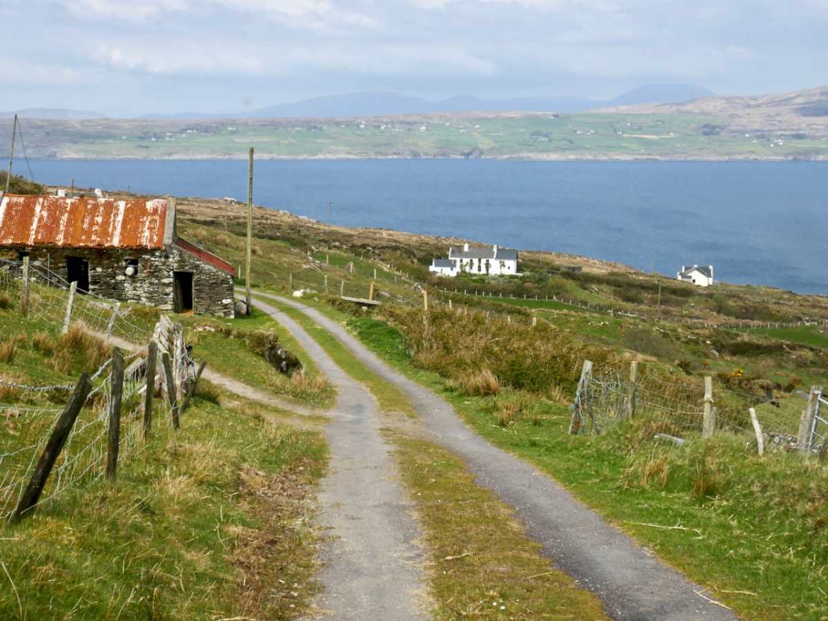
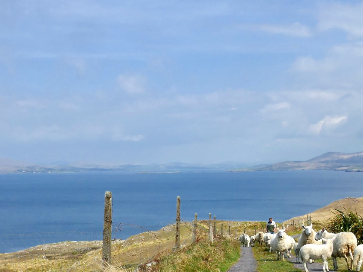
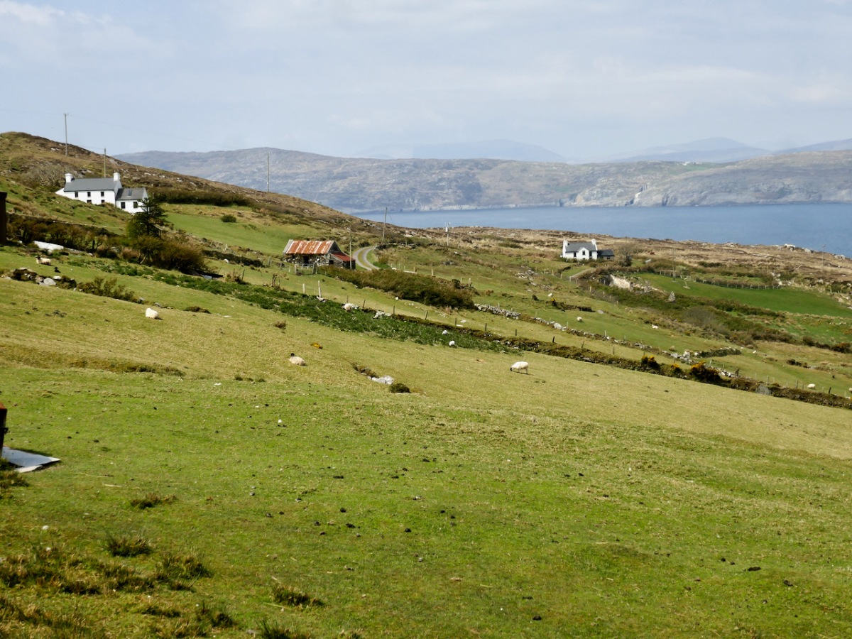
And talking of sea – you’re heading down now towards it, past picturesque stone farm buildings and beautifully renovated cottages until you arrive at Dooneen Coos (the Cove of the Little Fort). Along the way we ran into a shepherd moving his sheep up into higher ground, with the aid of the marvellously well-trained dogs that attend to their business but also like a good pat.
Dooneen Coos is a good spot for lunch – or even a swim if you’re that way inclined. it’s close to the peninsula we wrote about in our post Mizen Magic 23: Lackavaun and The Meallán so you can always take a side trip there if you wish. This might also be a good spot to leave a car if you’re not doing the whole loop on this occasion.
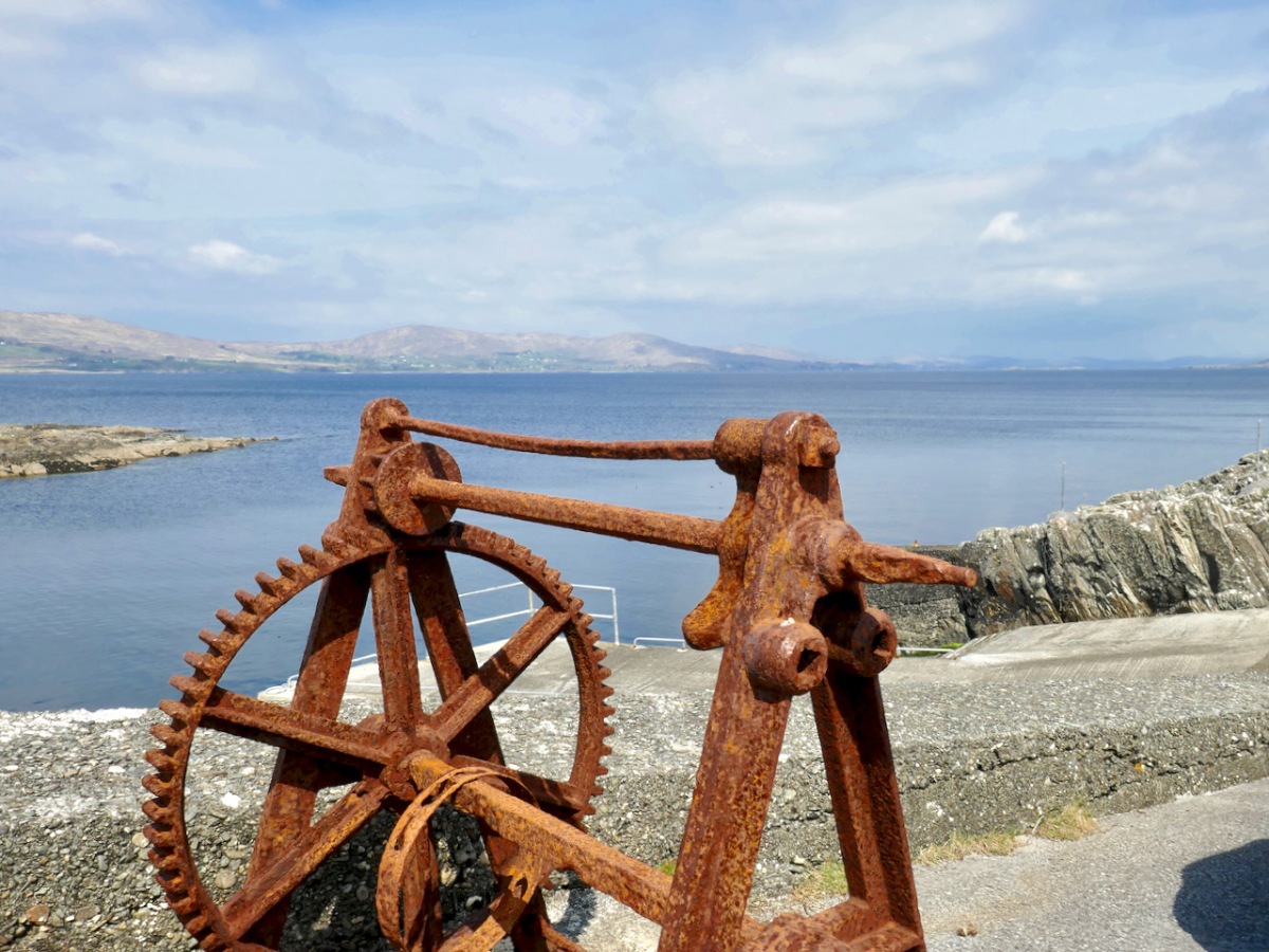
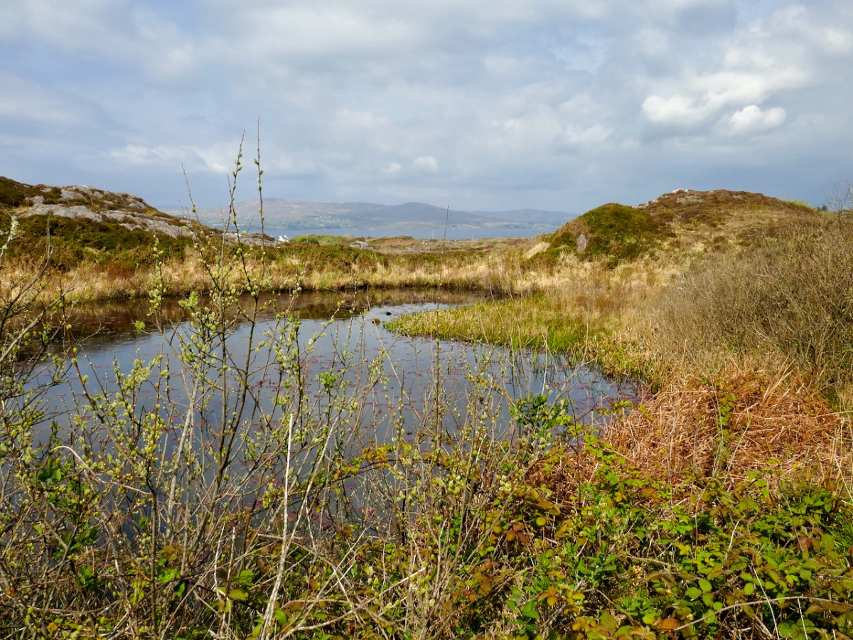
But if you’re carrying on, you’re now heading towards Dunkelly and the storied inlet known as Canty’s Cove. Read all about it here. Here, because we have been to Canty’s Cove lots, we took the short cut – marked in orange on the map. The compensation is that this stretch contains the remains of old ruined cabins and clacháns (hamlets) along the road, as well as a beautiful pond which, at the time of our visit was full of flowering Bogbean. 

From Dunkelly the road turns back along the slopes of Knockaphuca  and along the way there’s a  bit of a surprise – an old store that once supplied necessities for the population of this area but which has not been viable for many years. No doubt local people have all kinds of memories and stories about this one. I was taken by the keys, still hanging above the door!

By now we were on the stretch of road that this loop shares with the Knockaphuca Walk and that’s a walk you HAVE to do, if you haven’t already. Possibly the jewel in the Fastnet Trails crown. Crossing the main Schull-Goleen road we head down to Ballydivlin. 
We’re at the sea again now, back on the south side of the peninsula, looking across to Castlepoint (and Leamcon Castle) and out to the Fastnet Rock with its iconic lighthouse

It’s been a long haul but SO worth it – wouldn’t you agree?
The Fastnet Trails website is coming soon. We will update this post with that link once it’s finalised and active.

Mizen Magic 20: Ballyvonane Headland

Twenty Mizen Magic posts . . . The whole of the Mizen is magic and magnificent – at all times, in all seasons. It doesn’t matter where we go, we will find things to photograph and write about: landscape, history, the remnants of lives lived generation after generation, and new life – art, creativity. We have on our doorstep a cornucopia – an inexhaustible resource.

In late September, close to the autumn equinox, Nature has chosen to be compassionate to the human denizens of West Cork. In these benighted Covid times we are having exceptional long, warm and calm days, inviting us to take to the hills and headlands to shake off the wretchedness of bad news and the miasma of melancholy that it might bring. We in the far west remain free to roam unfettered, for now, and Roaringwater Journal is committed to bringing you the good news of fresh pathways to be trod and fine vistas to be unfolded.

At the beginning of the track is this imposing ruin: we wondered when it had last been occupied

Today we thought we’d finish something we started back in February: Delights of Dunmanus described how we set out to walk a trackway marked on the map going over the headland in the townland of Ballyvonane. In fact we didn’t make it: winter storms had flooded our way near the start of the track and – after getting hopelessly lost trying to go around the flood we had to give up. Finola graphically set out our probable route on that day (in blue – we were aiming to take the red path!)

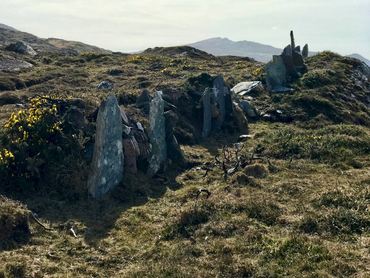
Today we were determined: we donned boots which would withstand a substantial flood. In the event they were quite unnecessary as the land was dry. We felt secure, though – but hot. After the first few hundred metres – which is the old way leading to a ruined house and now much overgrown – the path became well defined and easy to follow. We passed many signs of human intervention on the landscape: skeletal cottages and field boundaries which looked like rows of standing stones. The fields themselves were empty, however: we saw only one living creature the whole way. That was a wood pigeon that clattered noisily out of the bushes as we passed.

This section of the path was completely flooded when we attempted to follow it in February!

The journey was rewarding because of the wide views out across Dunmanus Bay with the Mizen and the Sheep’s Head flanking either side. There was quite a haze over both peninsulas arising, perhaps, from distant gorse fires.

Passing abandoned cottages which had the aura of ancient temples we rose up to the higher ridge commanding the best views. We could clearly see Carbery Island to the west: this has a lonely modern residence on it. Close by are the other islands in this group: Cold Island, Furze Island and Horse Island. Lusk Island and Scurvygrass Island are some way off to the north.

Each turn in the trackway opened up fresh views, and new dimensions, to the bay below us. Some may consider this landscape featureless, but a moorland scattered with large loose and earthfast rock formations – some resembling megaliths, but clearly natural – is my own favourite. Look at the map above to see how far the rock outcrop extends . . . In my mind’s eye it’s the work of giants.

Unlike many of our journeys into the West Cork landscape, this one had no clear end, there was no destination, no historic or archaeological feature that we had set out to find. There was just a turn in the trackway at the northernmost point of the headland and then the trackway continued on to became a boreen and, finally, a road leading back through Ballgibba North and the R591 (where Kilhangle is sited – see Finola’s post). We could have made a big loop of it, but there wasn’t enough time in the day that was in it. In any case, returning on the same path was no hardship and gave us more time to indulge in the tranquility of a way less trod, and in the sublime peace of an afternoon spent in remote places.

The autumn hasn’t quite come upon us yet, but some signs have started to appear. One is the ‘dandelion clock’ (did you call them that as children?). Finola challenged me to find the ‘perfect’ one, with the promise that, if I did, she would provide the ‘perfect’ photograph. I found perfect, and then perfecter, followed by perfectest. Here’s Finola’s promised rendering:

Mizen Magic 13: Dunmanus Promontory

It’s geologically and archaeologically fascinating – a substantial natural promontory just to the north of Dunmanus Castle: well worth an exploration. But, do be warned – there are cliff edges, exposed fissures, ankle-wrenching undulations and bogs to overcome. Also – it’s private, so please seek permission before crossing the land.

The west side of this shark’s fin-shaped promontory is wildly exposed to the ocean and its gales. You can see from the aerial views, above, how the rock bed is bare and visible, and the vestigial fields which occupy – or once occupied – the east side peter out, and the walls and banks which once formed them fade away altogether over on the left. In fact, these Google Earth images give a better impression of the oddly shaped enclosures than can be seen on the ground.

Three examples of many varied boundary features on the promontory are shown above. Each is differently constructed and they range from a series of vertically-set slabs to rocks-and-rubble and a raised bank reinforced with stones. In the picture below, follow with your eye the boundary as it traverses the scrub and makes a large S-bend on to the ridge facing the distant horizon.

Ireland – especially the west of it – is a huge stone landscape. Wherever people have settled, they have moved the stone and used it. To make fields, or any enclosures, they have had to clear the land. The stone taken from the land is used – sometimes to build shelter, often to build myriad walls to define the holdings. Here’s a striking example from the Aran Islands:

Nothing is recorded on the National Monuments Survey about these land boundaries at Dunmanus – or the significance of the promontory as a whole. Was it once a promontory fort? There are others on this coast. It could easily have been defended along the line of the present road running across the south. However, the land is flat and low, and there is no shelter.

Flat stone surfaces – of old red sandstone – remind us of the Burren landscape in Clare, and we can suppose that the present windswept bog and scrub could once have supported agriculture. But when? In medieval times, perhaps, when the nearby Dunmanus tower house was a thriving centre of occupation and, probably, commerce. In the shelter of the bay the little quay at Dunmanus survives and is still used by small boats searching out shellfish and scallops.

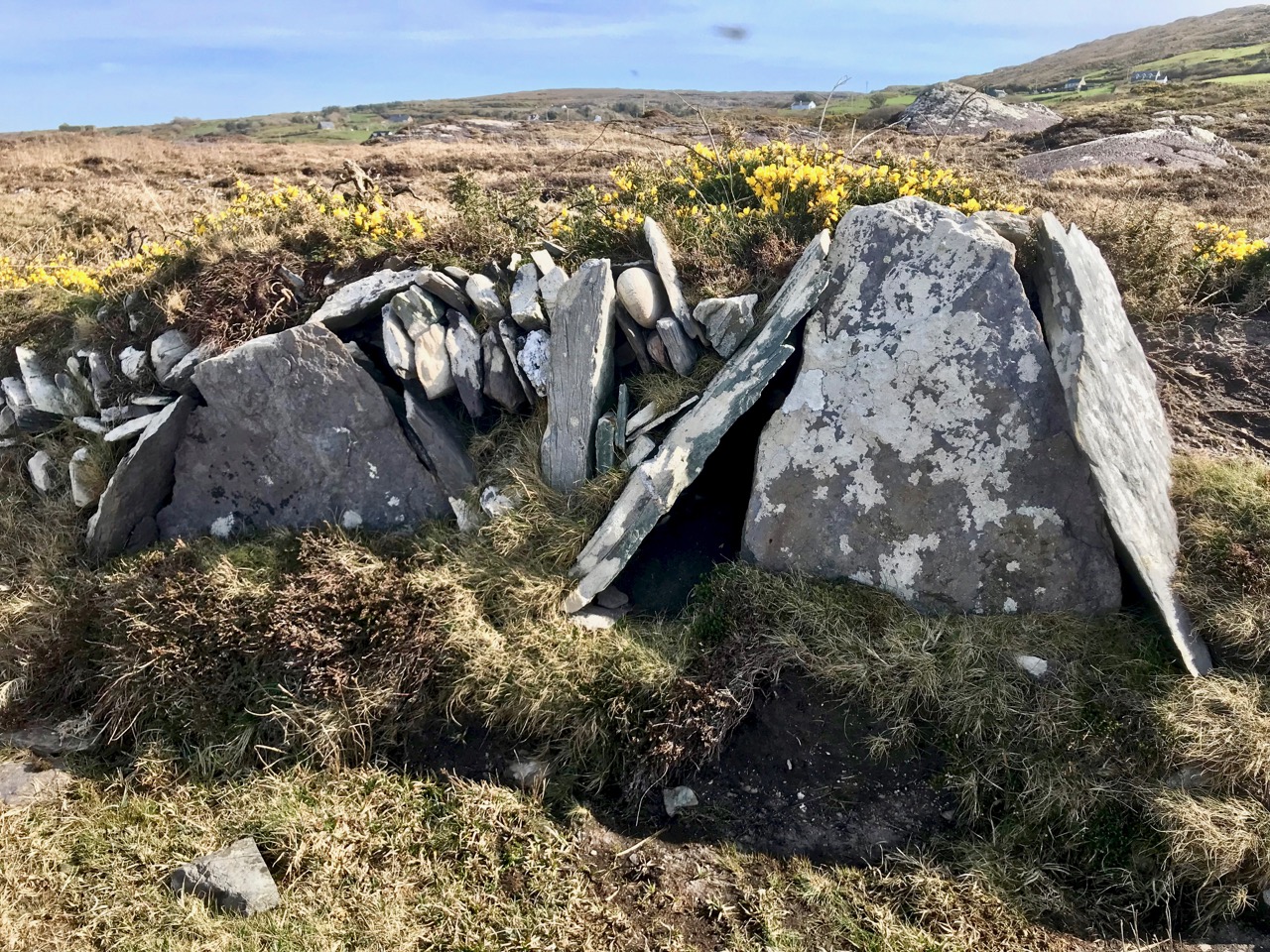
In some places the old walls seem to have a prehistoric feel: the use of slabs embedded vertically like standing stones is quite unusual in West Cork. The presence of large quartz rocks, too, is reminiscent of ancient sites, although they are natural geological occurrences here.

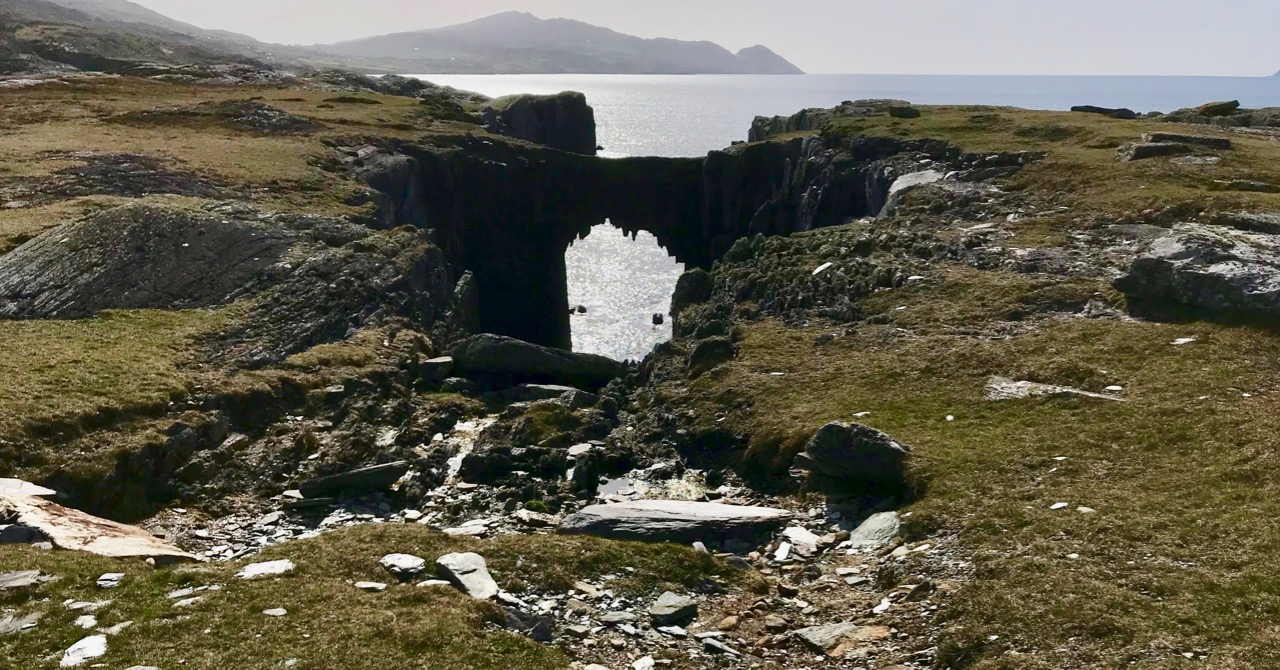
Other natural features on the peninsula include two ‘sea arches’ – bridges formed through erosion of the rocks and chasms by the ocean.

It’s a landscape of vestigial fields, sea – and stones. Nothing more. But I find it a mesmeric place; partly because we can see that it bears the marks of human toil, and we want to know more about who was there and how they lived. It’s a remote piece of Ireland to call ‘home’. Those marks remain after how many years – hundreds, thousands? They intrigue us, and compel us to explore.

Mizen Magic 7: Dunbeacon – History, Prehistory and Questions of Access

A cold and clear January day is just the ticket for a trip to the Northside of the Mizen. While Robert writes about the life of Northsiders, I want to look specifically at the area known as Dunbeacon. On rising ground that ascends to Mount Corrin and overlooks Dunmanus Bay West of Durrus, Dunbeacon offers spectacular views and lots to explore.

Looking across to The Sheep’s Head at the head of Dunmanus Bay, near Durrus

In the last few years the Sheep’s Head Way has expanded into parts of the Mizen Peninsula. This is a very welcome move and the SHW committee is to be commended on taking this initiative. Today we followed part of this new trail through Dunbeacon townland and were rewarded with glimpses of the past, lovely vistas, Caribbean blue seas – and biting cold!

This section of the trail runs along a scenic boreen

Dunbeacon is synonymous with the Stone Circle that carries its name. Robert and I have visited it on a couple of occasions in the past. We have knocked on the farmhouse door for permission to cross the land to get to it and never found anyone home. We proceeded anyway, albeit slightly nervously as it was an obvious trespass on a working farm. The stone circle is sited on a small plateau with views east and south to Mount Corrin and Mount Gabriel, although rising ground to the northwest obscures Dunmanus Bay.

Mount Corrin: a large cairn on top can be seen from many miles away. We have walked up to this cairn – see our account of it here

The circle is incomplete so it is difficult to know exactly how the builders intended its orientation as the portal stones and recumbent are missing. It may have had a central monolith. (For a complete explanation of Stone Circles see our post Ancient Calendars.) However, the clear view to the east and south horizons are design features that link it to sunrise and moonrise at certain times of year.

This photograph of Dunbeacon Stone Circle, and the one that heads up this post, were taken before the access trail (described below) was built 

Intriguingly, Michael Wilson, of the Mega-What Website, says that practically the stone circle is really half a monument: what it takes to complete it for calendrical purposes are two other elements across the valley in Coolcoulaghta, a standing stone (now gone, but its position is known) and a standing stone pair.

The Coolcoulaghta standing stone pair, with Robert for scale. These stones were knocked down in the past but re-erected following a local outcry. Access and parking are now provided

Having studied the area carefully, Mike saysThis site [the standing stone] combines with the Stone Circle 400m away at Dunbeacon to enable observations of the lunar nodal cycle in all four quadrants as well as giving complete all year round solar coverage. It thus seems likely that the Standing Stone was an original outlier to the Stone Circle and that the Stone Pair was added later, probably by a different group of people, in such a way as to make a minor technical improvement.

It’s further than it looks in this picture, but there is a clear view to the stone circle from the standing stone pair. In between is the most annoyingly positioned electricity pole in Ireland

As part of the development of the new walking route, the SHW group has negotiated access to the Stone Circle, and has, in fact, built a fenced trail across the fields and up to the circle. This, of course, is excellent in that it finally provides open access to this wonderful site. There is, however, a problem: the stone circle is now surrounded by a wooden fence on all sides that severely impacts on the appearance and atmosphere of the site. While it will keep cattle away from the stones (cattle can do a lot of damage to sites like this) and provide a safe zone for walkers if there are animals in the field, it has become impossible to relate to the site in the same way as we used to.

The last section of the fenced trail. The fence around the stone circle can be clearly seen now

The author of the Facebook Page Walking to the Stones expressed himself thus when he saw the new enclosure: “The wire fenced avenue turns into a wooden fenced coral. The stones, imprisoned in a begrudgingly small pen. The wildness has gone, the mystery has gone. You might just as well be standing in a sterile museum environment. What have they done?” His comments generated a chorus of agreement.

Indeed, it is hard not to look in dismay at a fence like this. It makes taking photographs of the whole circle well-nigh impossible. It creates an overwhelming visual barrier between the circle and its surroundings. As an erstwhile archaeologist, I also have to wonder what was disturbed as the post holes were dug. And yet, all of this was done with the best of intentions, and it has succeeded in providing public access to the site. I would be interested in our readers’ thoughts.

It is quite difficult now to get a photograph of the entire circle. This one is partial, and shows a clear sightline to Mount Gabriel

Before we leave Dunbeacon, I can’t resist a quick trip down to what’s left of Dunbeacon Castle. One of a string of O’Mahony Castles on the Mizen, this tower house once guarded the head of Dunmanus Bay. Its siting is strategic – no ship was going to penetrate to the head of this bay without being in clear view of this stronghold. The O’Mahonys controlled fishing and trade in this area from the 12th to the 16th centuries and became fabulously wealthy in the process.

What’s left of Dunbeacon Castle

This castle would once have been the dwelling place and administrative centre of a powerful chief. He would have hosted banquets where his poets and musicians entertained the guests with stories and song. Alas, after the Battle of Kinsale all the O’Mahony tower houses in this area were taken by the British and many that were left standing were dealt a final blow by Cromwell’s cannon.

Not much left – but what an incredible position!

The centuries pass. The old Mount Corrin mines are no more. The sizeable population sustained by potatoes was devastated by the Famine. Now the land is grazed by cattle and sheep and a few farm houses dot the landscape. It is a peaceful and beautiful place. Do the walk – you will be in the footsteps of farmers and chieftains, of herders and megalith builders and astronomers, of miners and fisherfolk who have called this place home for thousands of years.

Sail Away, Sail Away

Merlin heads for The Mizen

Merlin heads for The Mizen

Many years ago I did a lot of sailing in Vancouver but for various reasons I haven’t been sailing for years. This week I was thrilled to have the opportunity to take to the water again!

I went with Chris Forker of Carbery Sailing out of Ahakista. Chris has a beautiful yacht, Merlin, a 42 footer with room for eight. There were five of us – Chris, his wife Aideen, a young couple Conor and Ellie, and I. Robert decided that the better part of valour that day was dry land, but he took photos of us as we left and arrived and even drove up the Sheep’s Head mountains to capture us in full sail.

Ferrying out to Merlin

Ferrying out to Merlin

It was a fabulous day (but then, it always is, around here) and we got underway quickly after Chris had given us a tour of the boat and showed us on the charts where we would be going. He was an amazingly relaxed captain: once the safety instructions were over he invited us to do as much or as little hands-on as we liked.

Merlin on Dunmanus Bay

Merlin on Dunmanus Bay

We sailed almost to the mouth of Dunmanus Bay and back to Ahakista. There was a brisk little breeze, so the conditions were excellent and as soon as the main and the foresail were up the boat settled into a close haul, heeled over, and bowled along at a merry pace. Chris pointed out all the points of interest, introduced us to Henry the friendly seal and recounted the history of the bay. 

Great day for a sail!

Great day for a sail!

Chris is a born teacher (he does RYA training courses aboard Merlin) but in the most unobtrusive way, so I felt comfortable asking all the basic questions – stuff I had learned but forgotten. There’s so much vocabulary to sailing! Within an hour I felt emboldened enough to offer to take the helm – and there I was sailing a 42 foot yacht, calling the change of tack, adjusting the course to catch the wind. It was, in a word, heaven. The Sheep’s Head to the north, the Mizen Peninsula to the south,  incredible scenery, sunshine and a Caribbean blue sea skimming past our bow – what more can life hold on a warm September afternoon?

At the helm!

At the helm!

And just when I though it couldn’t possibly get any better, Aideen appeared with a cup of tea and a plate of Ummera smoked salmon on thinly sliced brown soda bread.

Robert and I have explored the Sheep’s Head and the Mizen extensively, but seeing it from this angle brings a new perspective. We were unaware, for example, that there are sea arches along the Mizen coast – dramatic bridges reaching out over the ocean, with the sea thundering underneath. There are several islands in the Bay. We sailed between Carbery and Furze Island. Rumour has it that the house on Carbery is owned by a wealthy Sultan who visits with his wives occasionally. Gannets plummeted into the water around us and, although we didn’t see any that day, dolphins often swim and play around the boat.

Conor, who had never sailed in his life, took the helm as we headed home, while Chris and Aideen dropped and stowed the sails.

Connor takes charge

Conor takes charge

As a re-introduction to sailing I couldn’t have had a more perfect experience. But even just lounging around the deck, soaking up the sunshine and the scenery, feeling the wind on my face and the gentle swell beneath, chatting in that companionable way that seems to happen like magic with shipmates – well, it all added up to a marvellous and memorable day that will ensure that I get out on the water again soon.

End of a perfect day

End of a perfect day

Mizen Magic 2: The North Side

A pet day on The Mizen

A pet day on The Mizen

We are once again being battered by Atlantic storms, but on a sparkling day earlier this week we drove, on a whim, to Durrus for breakfast. The day was so pure and sunny that it seemed a crime to go home again, so we set out to drive along the north side of the Mizen Peninsula.

Dunbeacon Castle

Dunbeacon Castle

What a day! We rambled down to the shore to investigate the 15th Century Dunbeacon Castle. There’s nothing left except one tall wall, standing sentinel against the wind, facing down the length of Dunmanus Bay. Its commanding position would have given its builders, the O’Mahonys, a strategic advantage in protecting and controlling their territory from adventurers arriving from the Atlantic.

Not much left

Not much left

Further along we explored an abandoned cottage, and found one of the water pumps that were once ubiquitous in the irish countryside. We saw few other cars, but we weren’t alone – our movements were observed from above by interested parties.

Preserved. Observed.

Preserved, Observed

Heading towards Dunmanus Harbour we stopped to pay our respects at the little ruined church and graveyard, beautifully called in Irish Kilheangul – the Little Chuch of the Angel. This was a curious mixture of cillín and modern graveyard: rough unmarked stones stood shoulder to shoulder with more recent granite headstones and lovingly tended graves.

The Little Church of the Angel

The Little Church of the Angel

We headed west along the road that skirts the sea and eventually leads to Barley Cove. We are convinced that this is one of the most breathtaking drives in Ireland – and, in a land as scenic as this, that’s a tall order! To the east we looked back up Dunmanus Bay to the Kerry Mountains in the far distance.

Looking East up Dunmanus Bay

Looking East up Dunmanus Bay

To the north lay the Sheep’s Head and beyond it the looming presence of the Beara Peninsula.
Across to the Sheep's Head and Beara Peninsula

Across to the Sheep’s Head and Beara Peninsula

To the west, Knocknamadree (the Mountain of the Dogs) and the wild Atlantic.

Bird Island and the Atlantic beyond

Bird Island and the Atlantic beyond

Once home to hundreds of families, this is a depopulated area now. There are some small farms, but many of the houses are holiday homes, seldom used. Sobering, that such a wildly beautiful place is no longer economically viable to support a thriving community.

The North Side of the Mizen

Northside of the Mizen

But thanks to the foresight and hard work of local writers, we can have a true appreciation of what life was like here. Northside of the Mizen has its own book! Recorded, edited and written by Patrick McCarthy and Richard Hawkins, and illustrated by Thelma Ede and with old photographs, it’s a charming, quirky compendium of character sketches, folktales, customs and traditions, poems and songs, and descriptions of country life. With chapters organised by month, it’s the kind of book you keep by the bedside and dip into when the spirit moves you. In January, for example, there’s a section on scoriachting, or visiting neighbours. It’s accompanied by a photo of a man and his jennet in somebody’s kitchen, with the caption Michael and Tom McCarthy out scoriachting. Once the neighbours arrived (but not on Saturday night as you would have to get ready for mass early the next morning) the night…

“…would start with games, blackguarding (horseplay) and sometimes dancing, then progress on to songs and poems. Storytelling was the preserve of an evening by the fire. With flames flickering and the wind and rain howling like the Banshee, the imagination of the storyteller and his forebears was let loose on a delighted and spellbound audience of children and adults alike. This, in turn, would lead to stories of a more superstitious nature, into a world of small folk, púcas (sprites), mermaids and of people’s misfortune when they interfered with the fairy ways.”

Look out for future posts about the Mizen – we’re only scratching the surface of this marvellous region of West Cork.

Where once were farms

Where once were farms