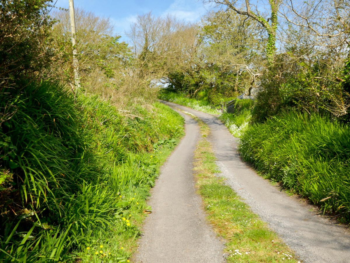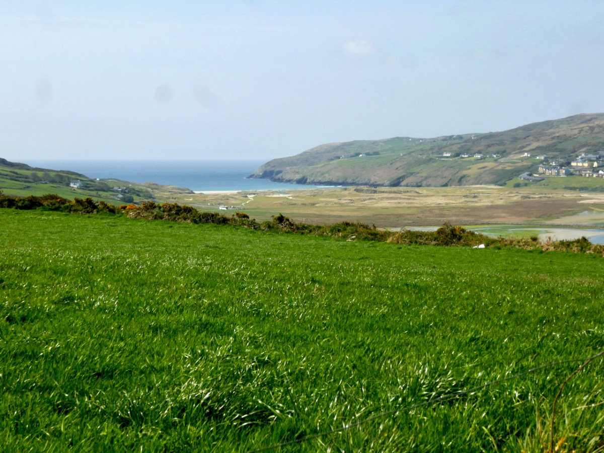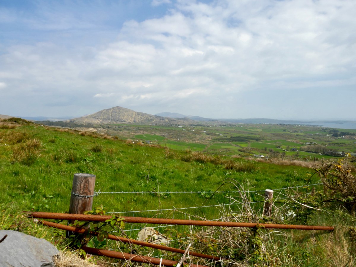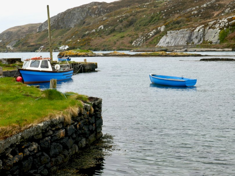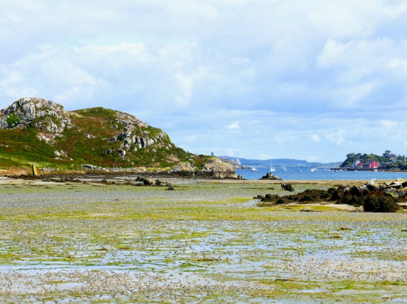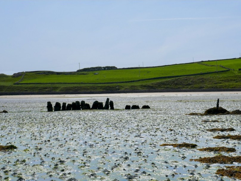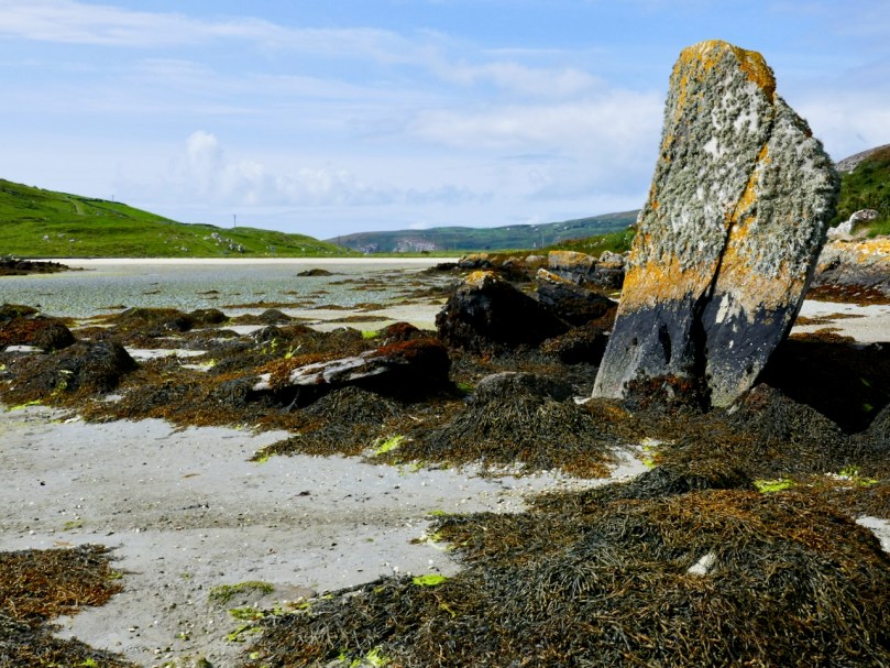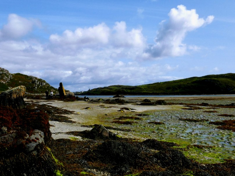
Moving west at the Far End of the Mizen we come to two very special, and completely different, places. Barley Cove is one of Ireland’s most popular beaches, and rightly so – but there is much more to it than meets the eye. Three Castle Head, is, in my opinion , the most beautiful historic site in Ireland. OK, a bold statement – but wait til you see.
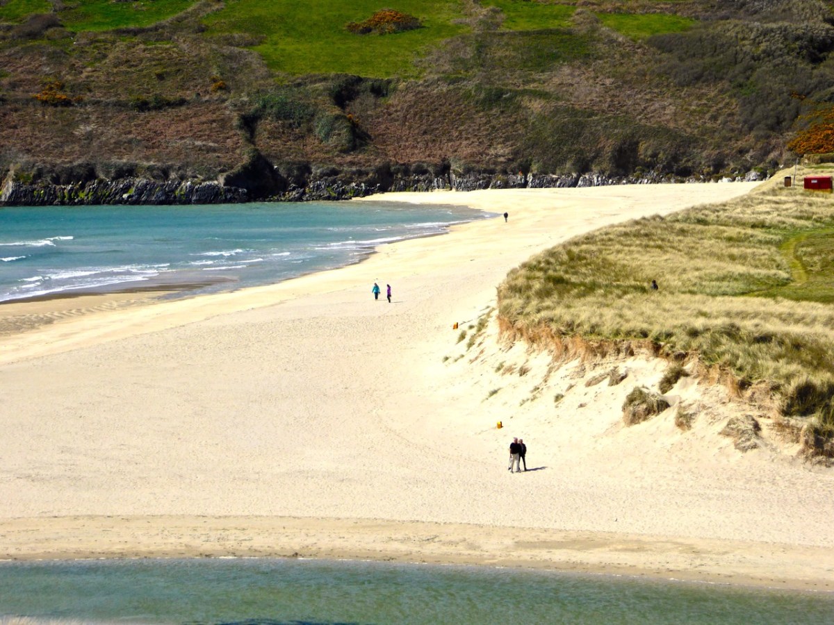
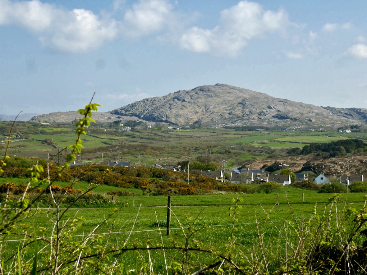
The area around Barley Cove encompasses a European Special Area of Conservation (SAC). In my post, Barley Cove: A Special Area of Conservation, I explained that SACs are areas designated as particularly interesting or sensitive on account of their flora or fauna. There’s a complex assessment process carried out that looks at the species present in the area, how important or endangered they are, or how representative of a particular habitat. It’s all done by the National Parks and Wildlife Service and the report on the Barley Cove area is online.
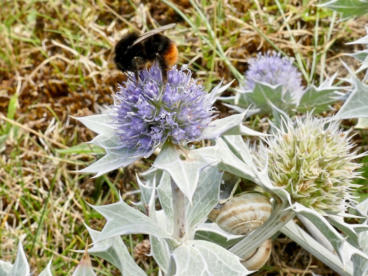
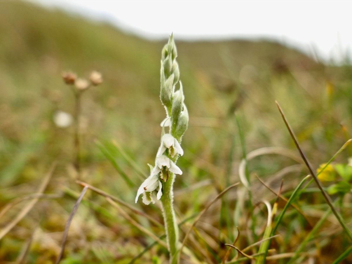
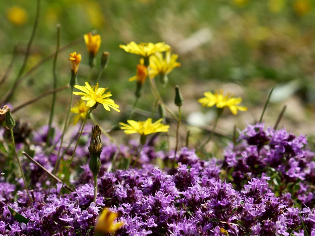
It’s also one of my favourite places to find wildflowers and that post included a gentle little slideshow. Because I went on October one of the flowers I saw was the little orchid, Autumn Lady’s Tresses. Although it is found here and there around the coast it is an unassuming little thing and quite hard to spot, so I was delighted to find it.
But I have been more recently, in July last year, and made a new slideshow, which I called Lying in the Dunes. I am a bit better at it now, and can sync the music to the images.
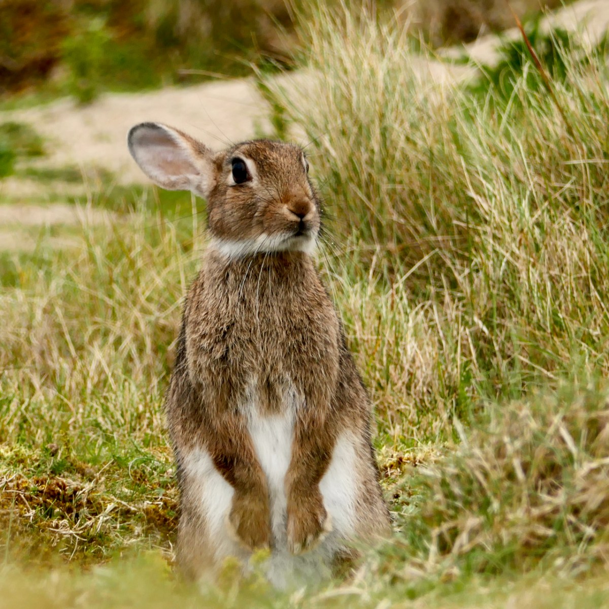
Barley Cove is also home to a large colony of rabbits. In my post The Bunnies of Barley Cove, I wrote: When you think that an adult female (a doe) can have up to seven litters a year, each one yielding up to ten kittens, the proliferation rate is explosive. They are kept somewhat in check in the wild by natural predators and a high mortality rate. Left totally undisturbed, rabbit populations probably undergo the same cyclical variations that other mammals do, with numbers increasing for about ten years and then declining due to over-population, before building up again.
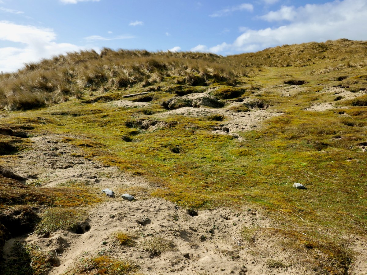
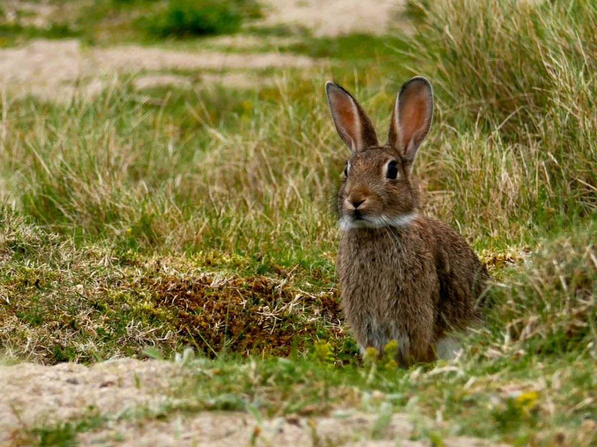
Observing the bunnies and getting close to them called for patience and slow movements: I had to crawl through long grass and try not to spook them. Once they and I were at eye level, it felt like a real communication – being regarded by those deep pools of age-old knowledge, gentle and wise, was lovely. At the same time, the ears were on high alert, and I knew that one false move and he was gone.
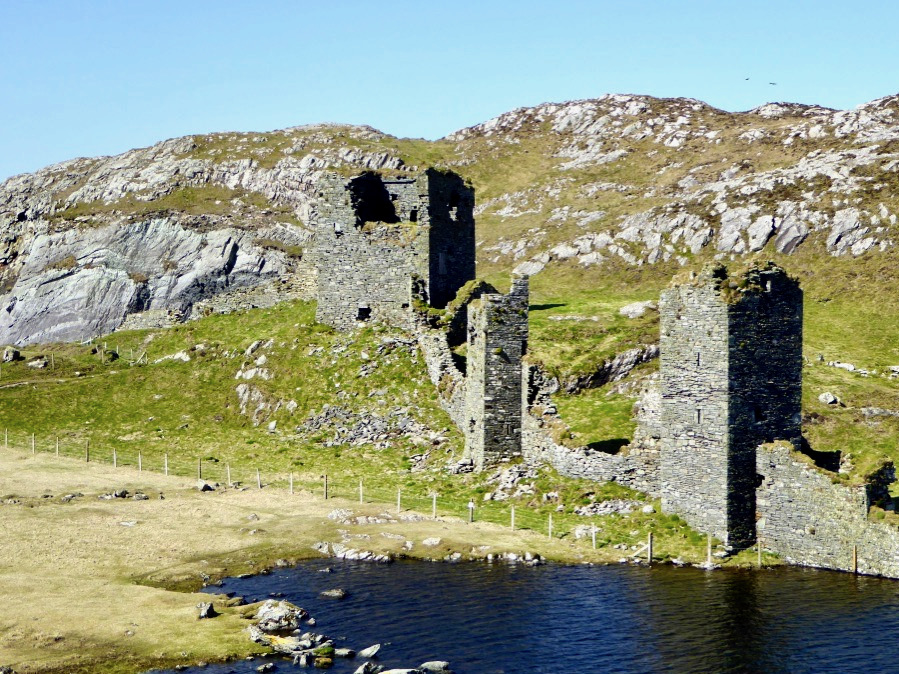
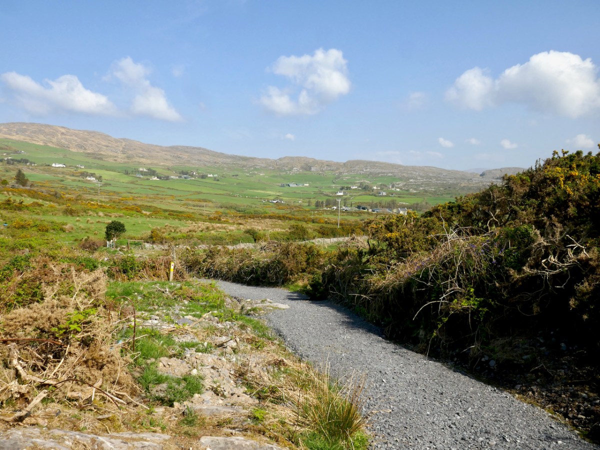
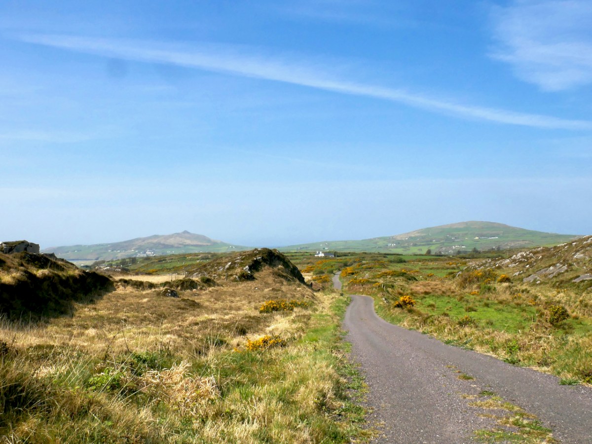
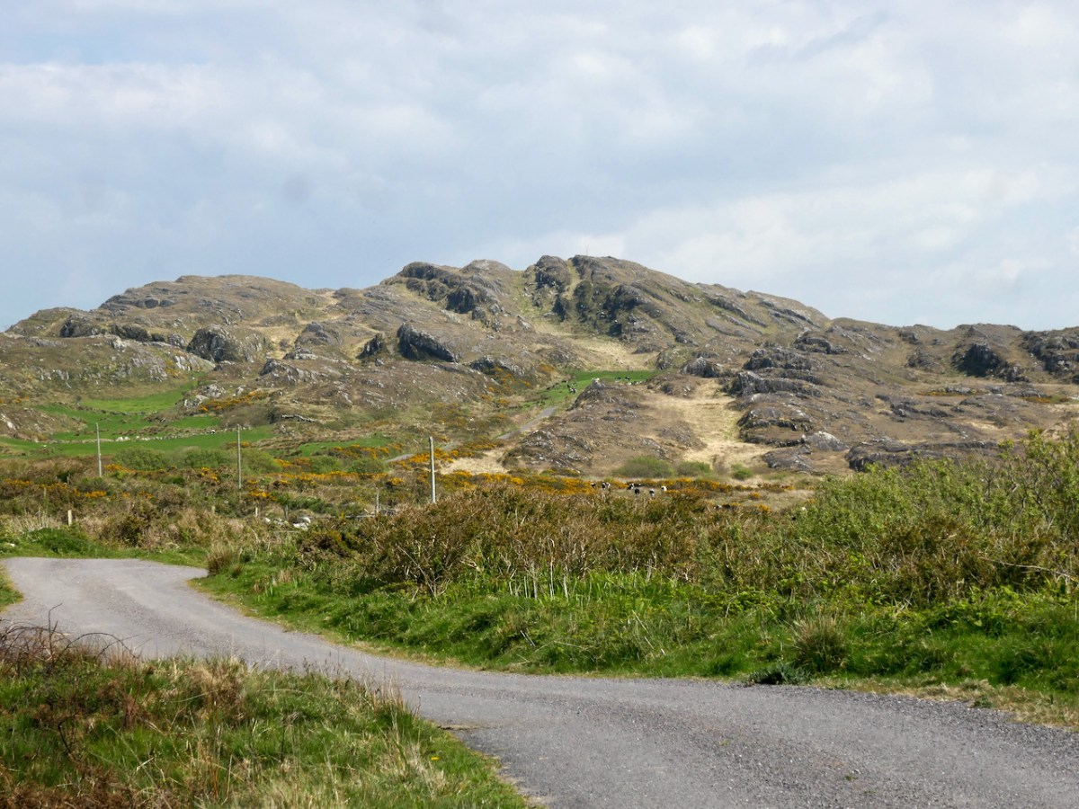
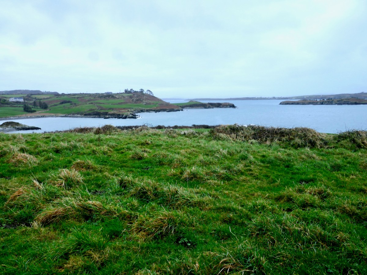
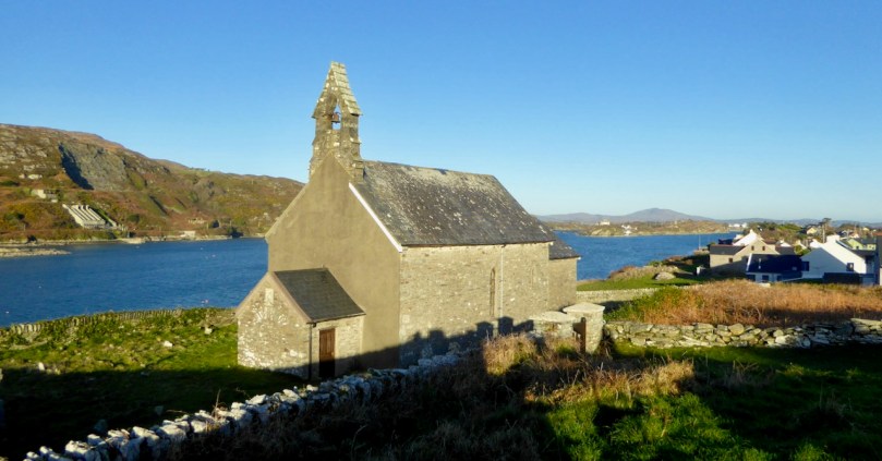
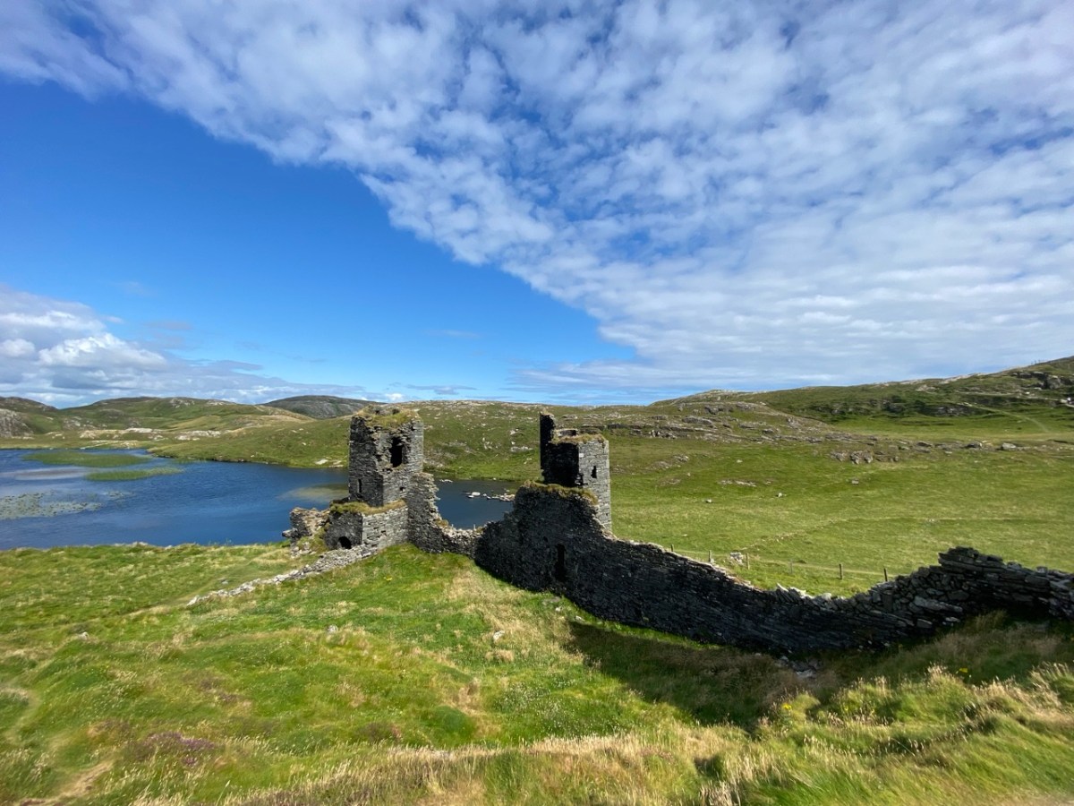
Moving further west again, we come to Dunlough, or Three Castle Head. This was one of my Castles of Ivaha series, and surely our most unusual castle in the most spectacular setting. To come over the hill and see it for the first time is an experience none of us will forget.
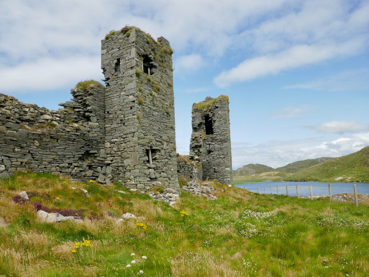
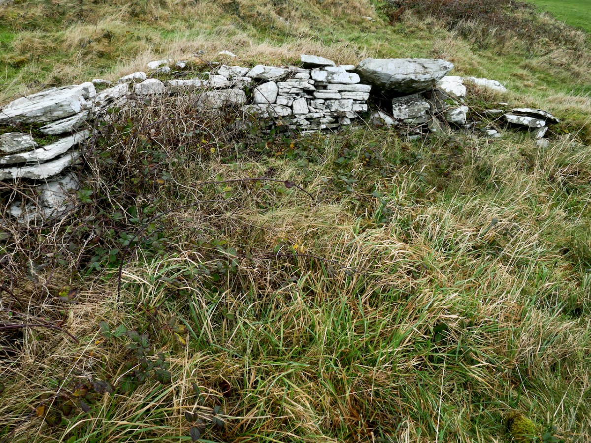
It’s a complex site and I tried to unravel the various phases of building that you can see, as well as the construction methods and functions of the curtain wall with its three towers. But in the end I had to say But all of that is dry as dust – who can worry about a dating timeframe when what presents itself to your view is so beautiful, so perfectly situated and so hopelessly romantic?