(Mizen Magic 26: Balteen)
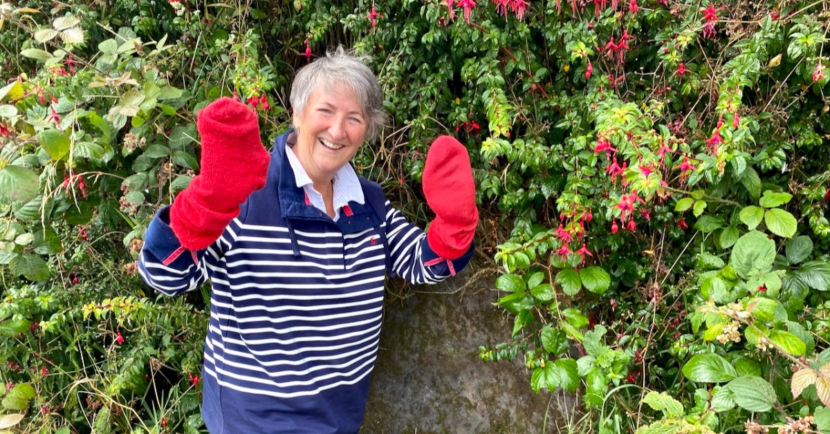
What do red socks have to do with rock art? Well, nothing really, but they turned out to be surprisingly useful this week.

It’s been ages since we talked about rock art, hasn’t it? Thinking about that, I decided to do some tidying up in our blog and I have created a special page for Rock Art, and another one for Mizen Magic, since this post also fits into the Mizen Magic series.
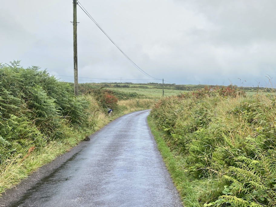
Robert and I set off to hunt down rock art we haven’t yet seen on the Mizen. The National Monuments site contains two records for Cupmarked Stones in the townland of Balteen, and both proved easy to find. (If you can’t remember what a Cupmarked Stone is, take a look at this post before reading on.) The first is along the road that leads from Barley Cove to the North Side. That’s my butt marking the location of the rock, above.
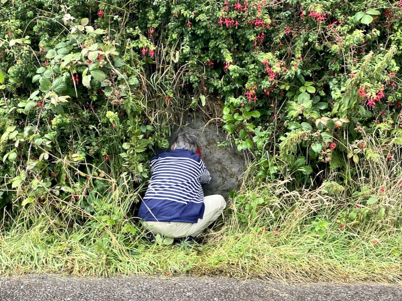
It’s built into the bank and we might not have been as quick to spot it as we were unless somebody else had already found it and cleared away some of the overgrowth – I suspect Rock Art Kerry, AKA Aoibheann Lambe had been there before us, perhaps a couple of years ago. We usually remember to bring a soft brush with us for a gentle cleaning of the rock surface (lots of moss on this one) but we had forgotten this time. The red socks came to the rescue.

This is a lovely example of a cupmarked stone – although it’s possible there is more on it than cupmarks only. The central cupmark appears to have some carving around it that helps to mark it out and elevate it – not a complete circle but an arc that may end in an expanded finial. We have sent the photos off to UCC for a 3D rendering and this may clarify this aspect of the carving. Here’s a short video – see what you think about that arc.
Meanwhile, since it’s hard to make out what’s in the surface of a grey rock on a grey day, clever Robert has made a scaled drawing of it. We know that cupmarked stones like this can date anywhere from the Neolithic (about 5,000 years ago) up to the Bronze Age (ended about 2,500 years ago), and that the cupmarks were probably made by picking or bashing them out with a stone cobble, but we don’t know why they were done, or what meaning the cupmark itself may carry.

We also don’t know if this one is in its original position, but it’s likely that it is not. It is currently incorporated into the bank at the side of the road, leading us to suspect that it was found in the vicinity and built into the wall to give it a place where it would be visible to all passers-by.

The second one (above) was a surprise! First of all, it’s enormous! It looks like it may have been a capstone for a large structure, or perhaps a boulder burial. However, it’s difficult to determine if there is anything underneath and it may well be a glacial erratic that simply ended up here. This one is in the same townland but it’s on private property, so we are not pinpointing it on a map, at the request of the owners – but they are happy to give permission to see the stone and they welcomed us to take photos and tell them a little about rock art in general. There are nine cupmarks, from large to small and some appear to be arranged in a rough semi-circle – something we have observed on other cupmarked stones.
I am trying something a little new with this post – doing short videos to see if this helps to convey more than a photograph might. I’d be interested in your feedback on this. Note: You may have to play the videos on YouTube – sorry if this aspect isn’t working right for everyone!
Just when you think you have seen all the Mizen has to offer, it reveals yet more of its secrets!
Discover more from Roaringwater Journal
Subscribe to get the latest posts sent to your email.

Could the cup marks in some way mirror constellation or planets?
Great blog btw, brings back many memories.
Ken
LikeLike
Thank you. There are some who see star maps in rock art.
LikeLike
This is fascinating. Thank you for sharing! The videos were great.
LikeLike
Thanks for the feedback!
LikeLike
Went down the placenames rabbit hole on Logainm.ie and discovered there are only two An Bailtín townlands in all of Ireland. Both are on the Mizen Peninsula, one is in Goleen and one is in Schull.
O’Donovan interpreted An Bailtín as ‘a small townland’ for the Schull one and it fits his interpretation at just 41 ha.but at 251 ha. the Goleen one hardly fits that description as it’s twice as big as the average Irish townland. However, he interprets the Goleen townland as a diminutive of baile which probably makes more sense. Must check what Bruno O’Donoghue said the next time I’m in the library.
LikeLike
Thank goodness for red socks! Two interesting finds – the second stone is colossal!
LikeLike
We’ll never go anywhere without them again.
LikeLike
Very much appreciated the videos, Finola. They made it much clearer to see the marks than just a photo.
Had a very nice, sunny re-visit to Three Castle Head on our trip to West Cork in June. The next day, we re-hiked to the top of Knockomagh at Lough Hyne, and from the top, I was able to point out to Linda several sites between Skibbereen and Toe Head—the cross on the hilltop and cleft in the hills near the cave—that you mentioned on recent Journal entries.
We are constantly inspired to visit and re-visit places by your Roaringwater Journal articles.
Hope that all are doing well.
Tom
804-353-0810, Stationary (best to leave a message) 804-405-2496, Mobile (not always available, try stationary first) Tom@Chleire.com Tom@Chleire.com
LikeLike
So glad you enjoyed this one, Tom. Sounds like you’ve had a great time.
LikeLike
Yes Finola, ’twas well shown using You Tube. I’ve cycled this road many a time, but never saw these ‘hidden’ stones.
LikeLike
Now you know!
LikeLike
Thank you Finola for this addition to your, as always, fascinating posts. Video worked fine on my iPad!
LikeLike
Thank you so much, Clodagh, for the lovely comment.
LikeLike
Videos not playing on my iPhone 12
LikeLike
Hi David. Thanks for letting know. Not sure why this is. Can you click on the option to watch in YouTube?
LikeLike