Sticking with the west end of the Mizen, we will introduce you today to some prehistoric rock art (two very different cupmarked stones), a remote and gorgeous stone pier, an historic mine site with links to the Famine, and finally a headland with sea-arches and an ancient promontory fort.
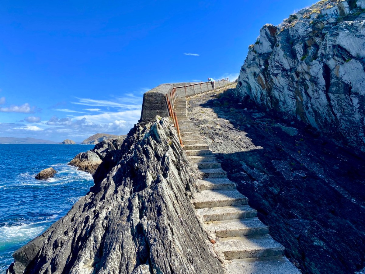
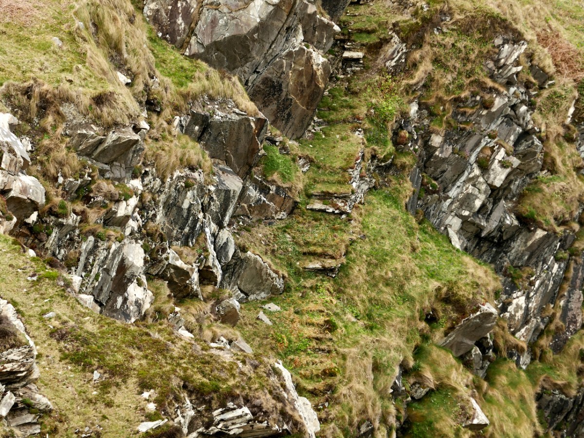
Let’s start with Toor – that secluded and beautiful spot out on the wild northern edge of the Mizen. It’s hard to believe that this was a well-used pier in its day. It has held up well, despite the bashing it gets from the ocean. And there are sea-caves!
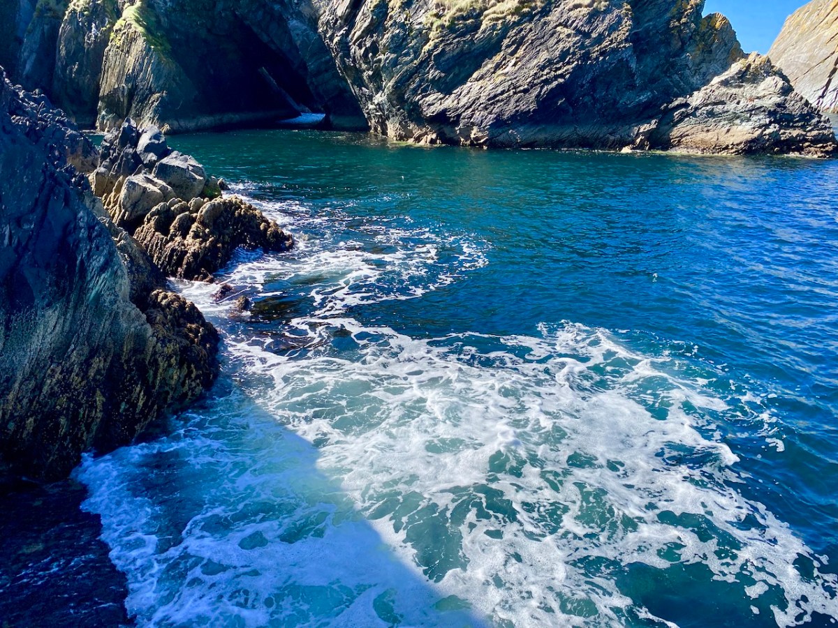
Between us we took so many photos at Toor that we ended up making a slideshow, to the Music of Liam O’Flynn’s Joyce’s Tune from The Given Note. This link will take you there.
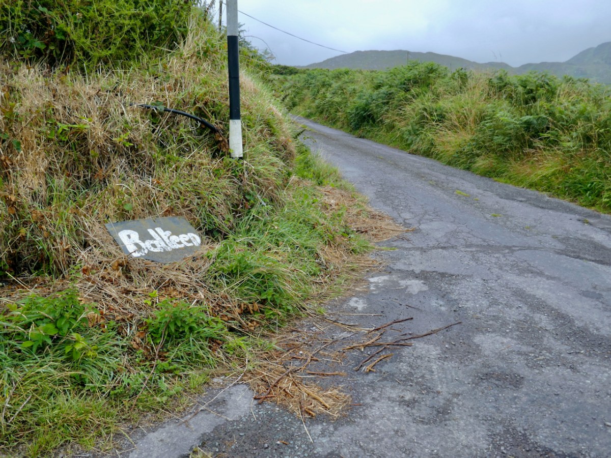
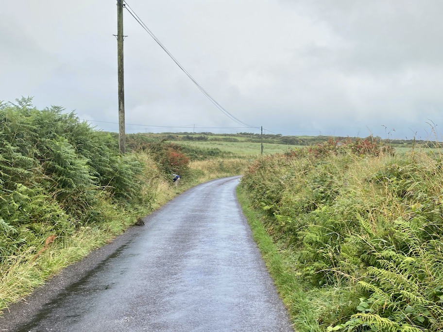
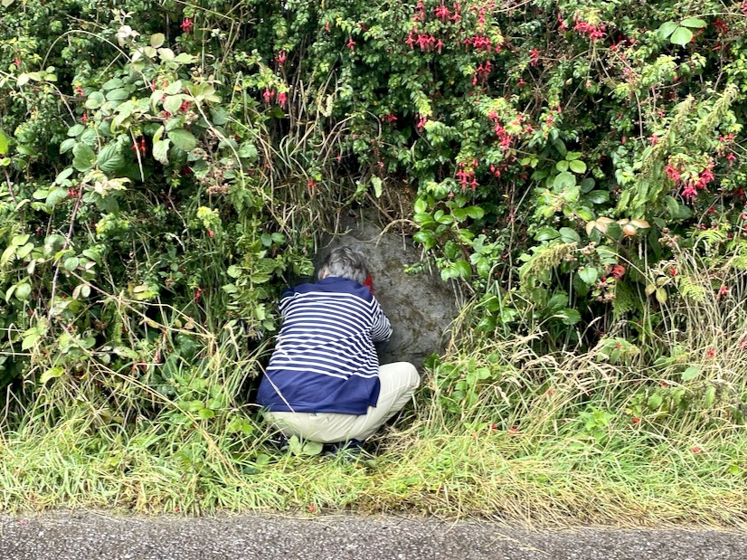
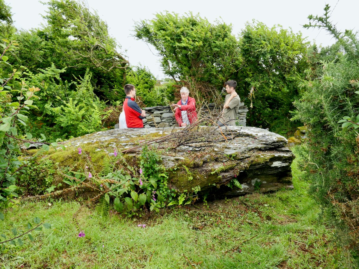
The townland of Balteen has not one but two cupmarked stones, the first built into a ditch by the side of the road. My post was was titled Rock Art and Red Socks, but you’ll have to click on the link to see why. The second rock was on private property but we were welcomed to come in and view it and take photos. I included some videos of both rocks in the post.
The mine, known as Dhurode Mine, was established by the Rev Robert Traill just before the Famine. A complex character, Traill was famously sectarian before that awful event, but redeemed himself with his energetic charity during the Great Hunger, eventually succumbing to famine fever.
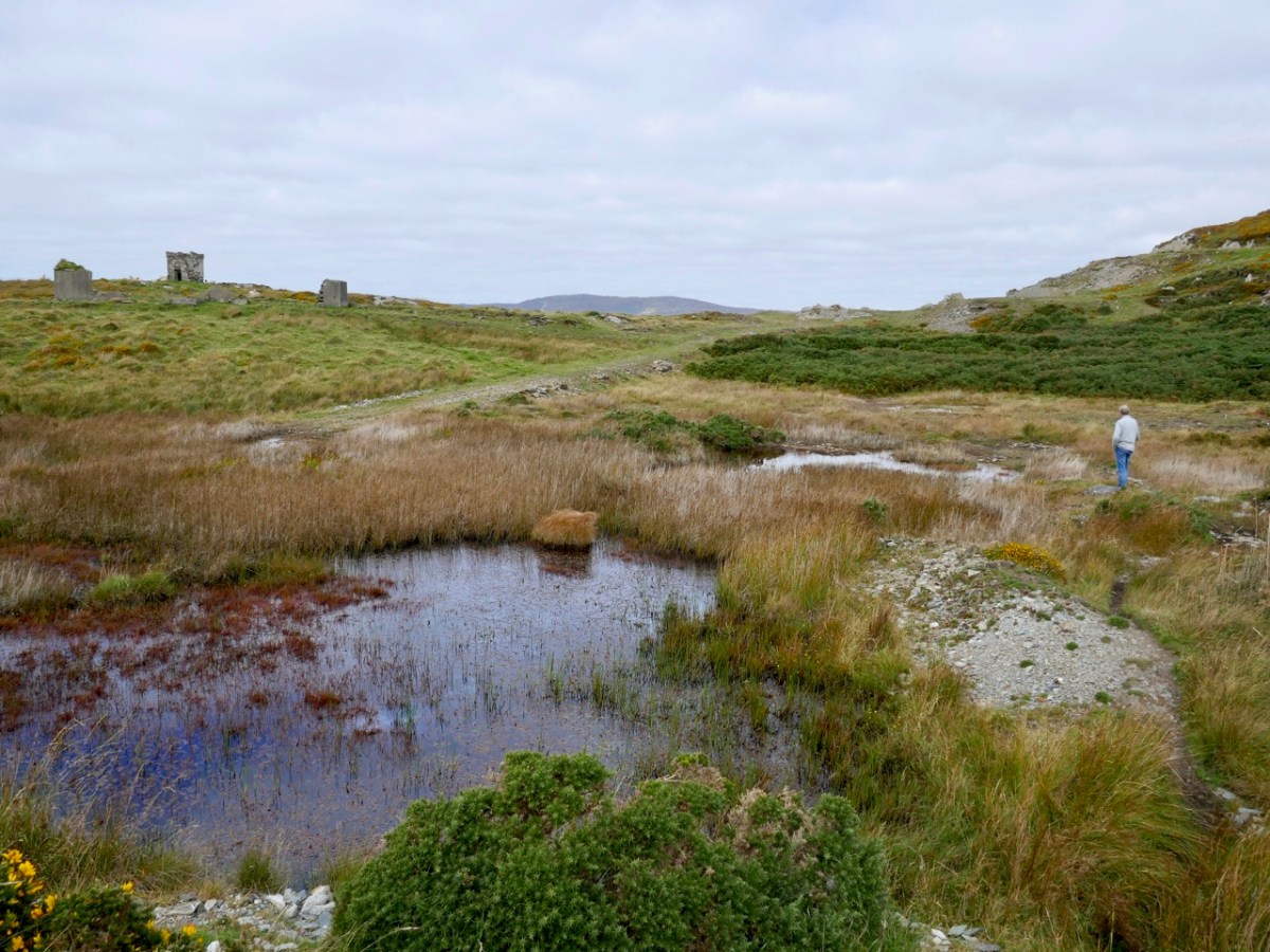
My post was Two Mines Are Better Than One (Mizen Magic 16). There are surprisingly many clues left of the mining activities. There were shafts, now with concrete caps, as well as open cast workings. Now it is silent, except for the call of the sea birds, but still carries the atmosphere of former days.
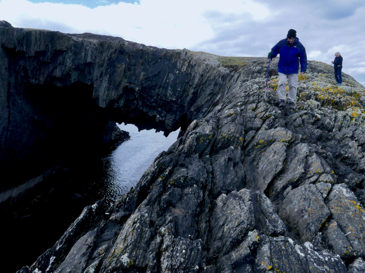
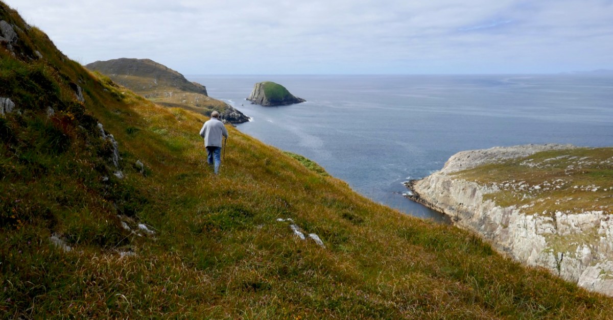
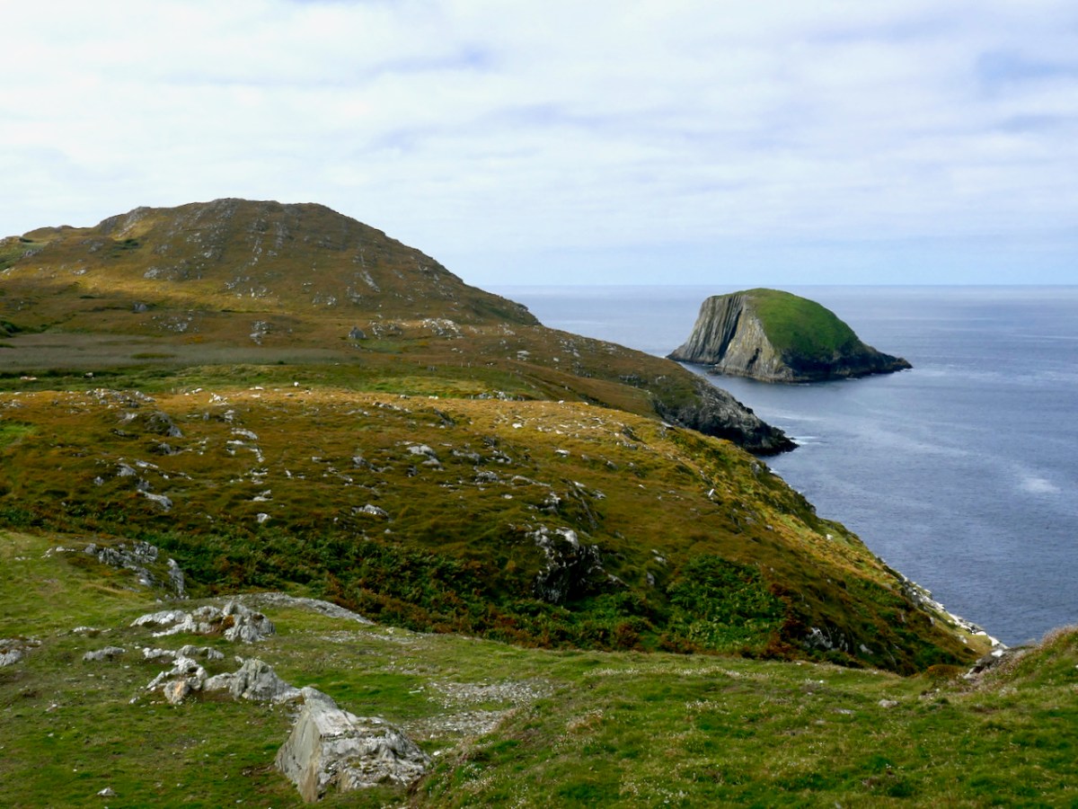
Finally, we have Lackavaun. Sea arches, a promontory fort, still-visible lazy beds, and a clear view to Bird Island. This was a tricky island to get on to, there was no landing place and it could only be attempted in calm weather. The first trip was to collect the eggs of the cóbach (the Black-backed Gull). Once ashore, the men attached ropes to iron bars which had been driven into the rock faces, and climbed down the cliffs to gather the eggs.
Our guide was the marvellous book North Side of the Mizen.