This is the time of the year for drawing around a log fire, lighting up the candles and passing on well remembered tales. Here is such a one, which I wrote for a Roaringwater Journal post back in December 2012 . . . It’s worth telling again.
You must never name them… It’s alright to call them The Other Crowd, or The Old Ones, or The Good Folk – people will know well enough who you mean. I suppose it’s a way of keeping them at arm’s length: if you name them, then they might just be there.
Some say that they are the earliest dwellers of these islands – the Fir Bolg – or that they are from Tír na nÓg, the land where you’ll never grow old. They might have been from the Bronze Age – or earlier: the Neolithic people were small. They certainly predated the Iron Age. Iron is something they can’t be near.
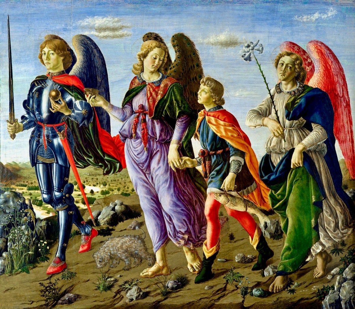
They have many of the same needs as us, it seems. They enjoy their food and drink; they dance; they play games. They have some form of religion. We know that because of the people they take: priests often – doctors – musicians (if there’s a dance going) – hurley players (if they are short of a team). It’s when you are ‘taken’ you have to be on your guard. You musn’t eat or drink while you are there or they’ll keep you – forever. And they will try and press you to it. If you do come back you’ll have been there only a second – or a lifetime… Remember the Children of Lir – turned by enchantment into four white swans: for nine hundred years they sang the beautiful songs that are now the tradition of Ireland. Then the enchantment fell from them. For a moment there stood these ancient, aged figures and, after, they crumbled to dust.
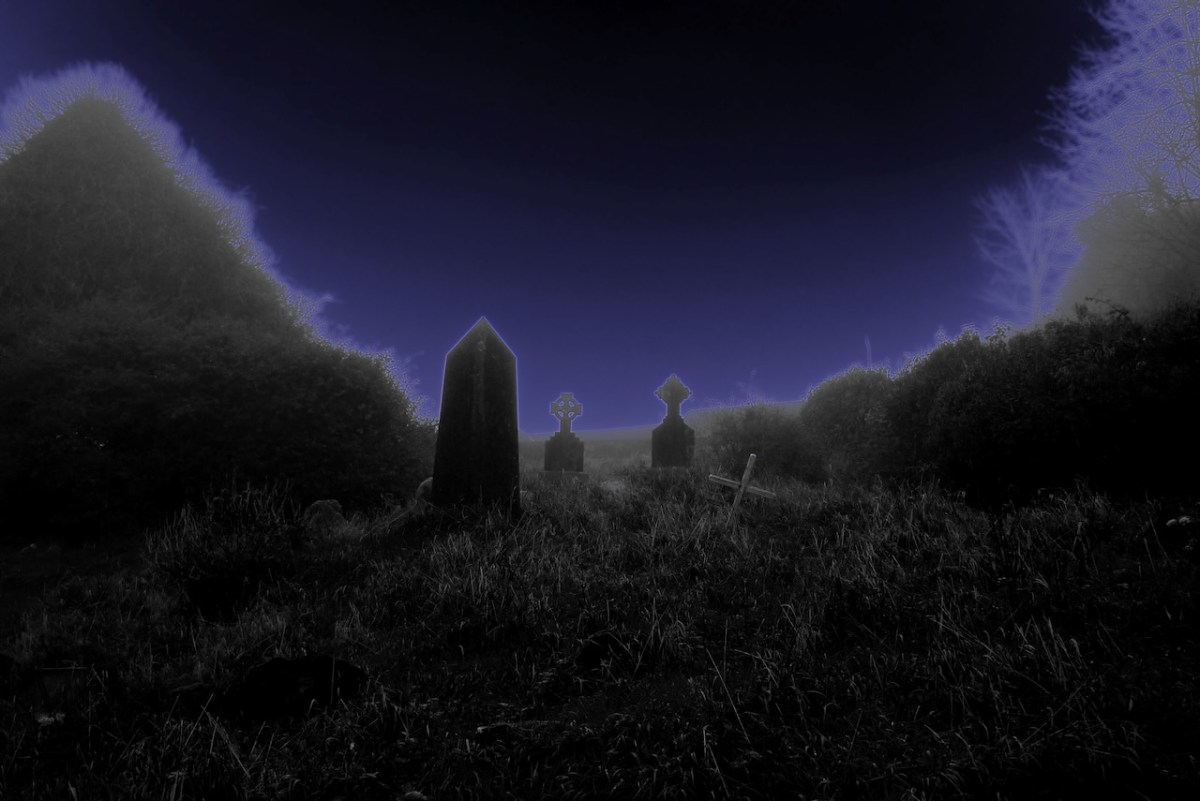
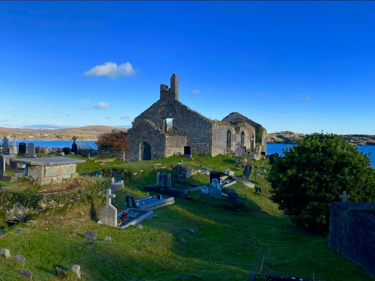
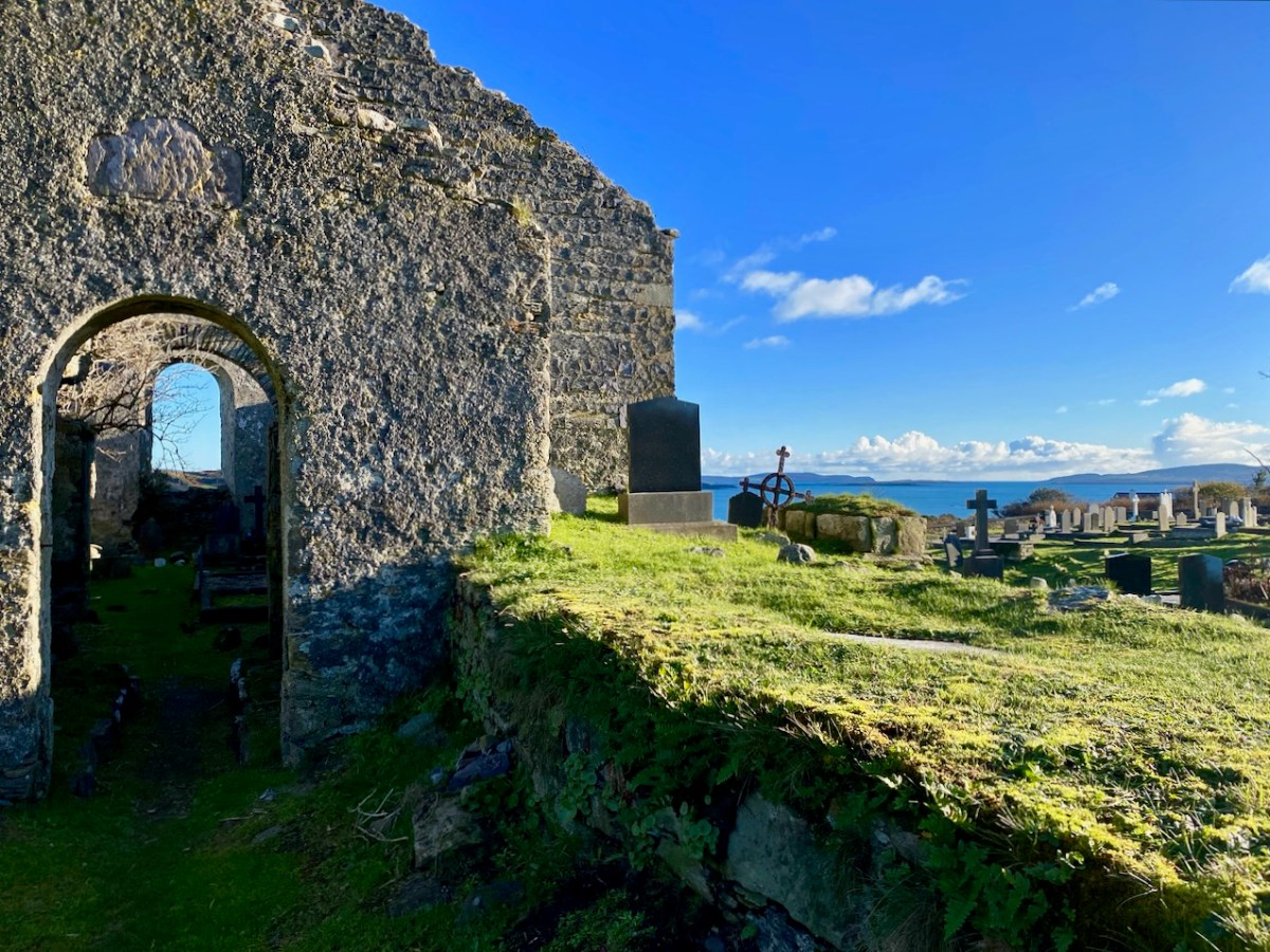
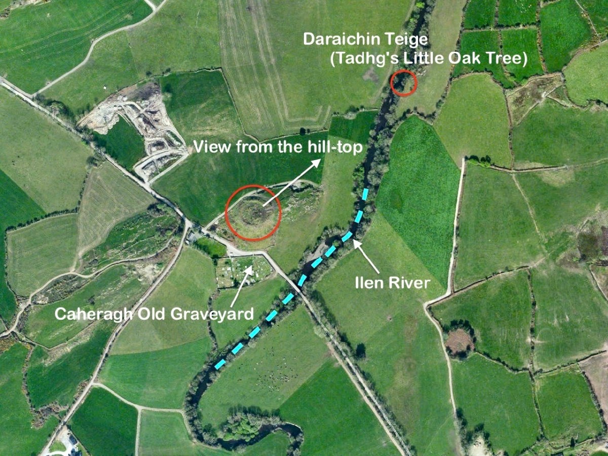
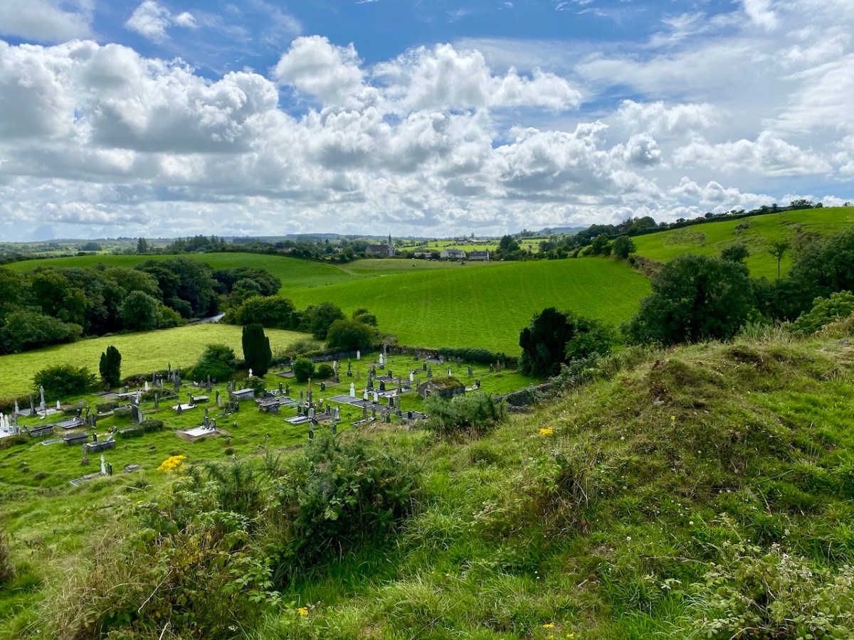
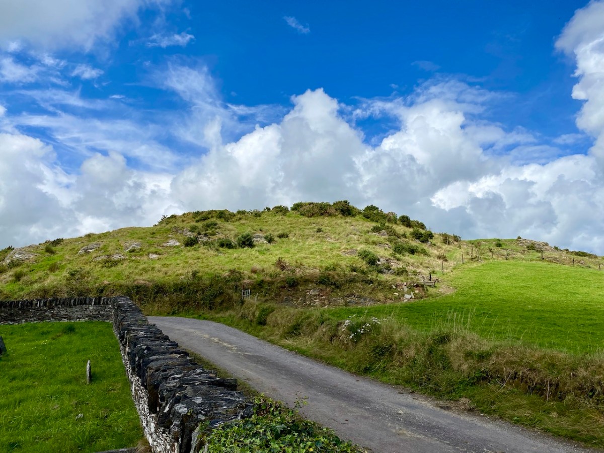
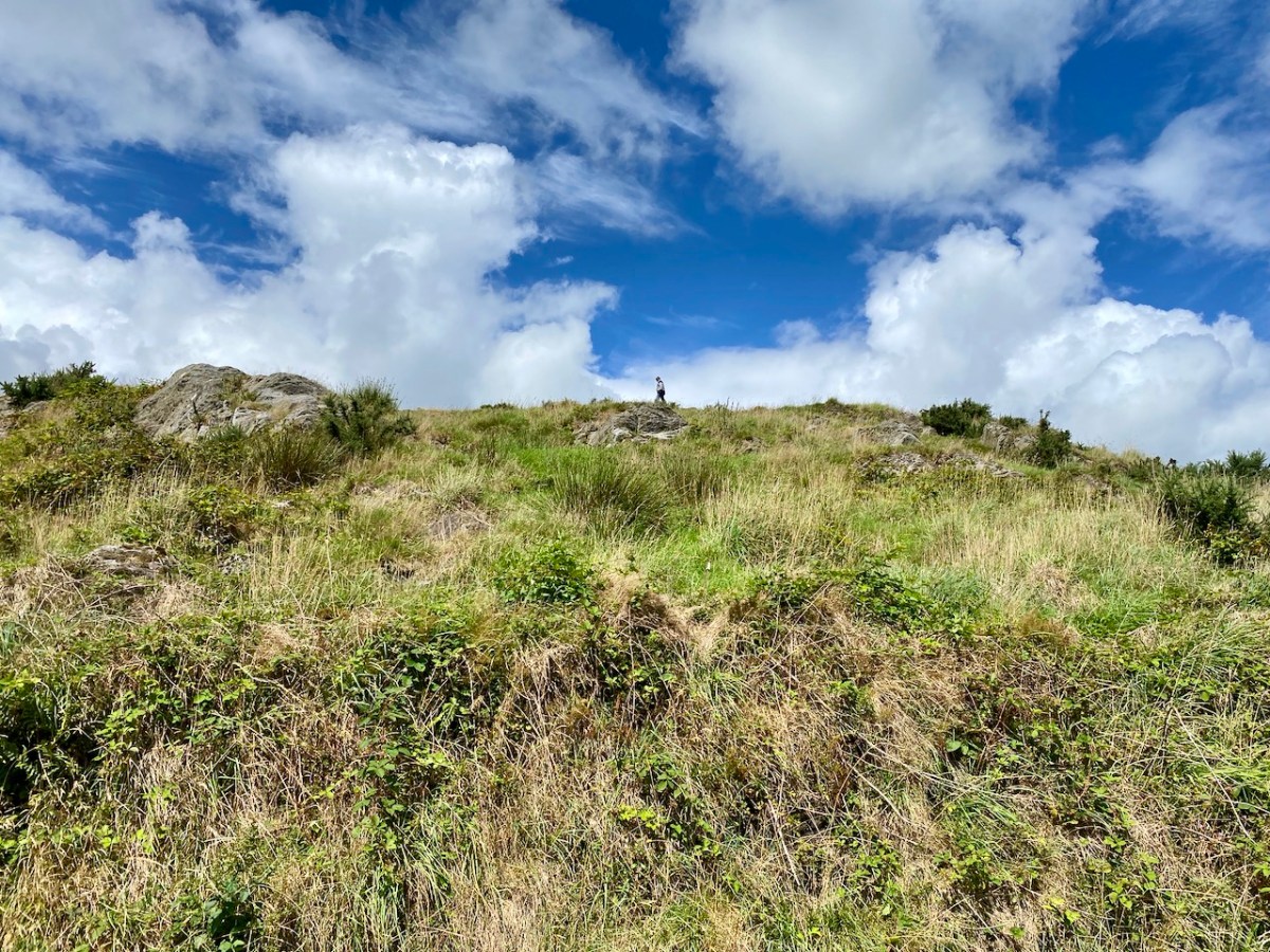
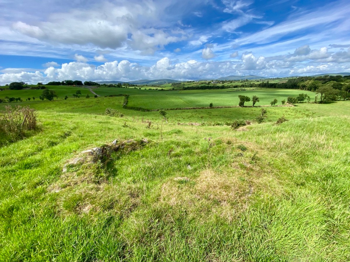
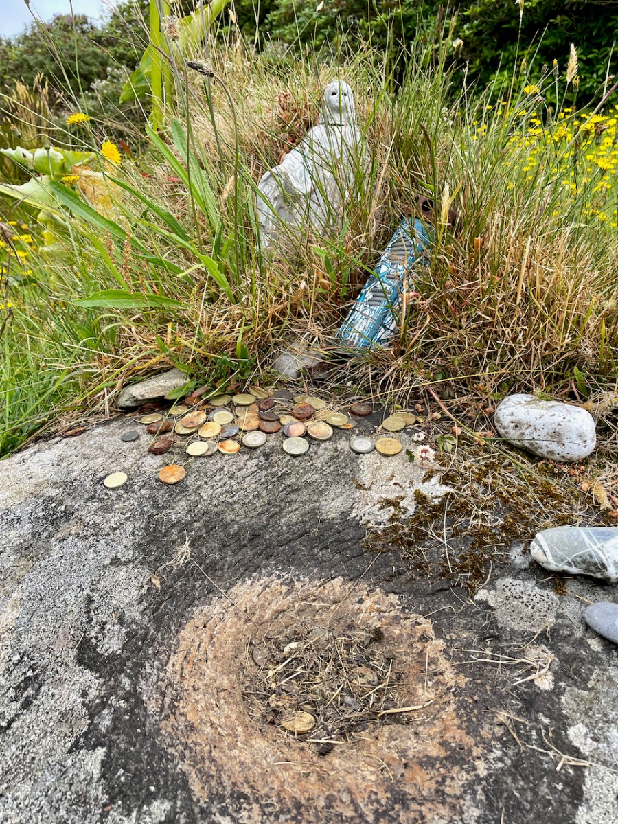
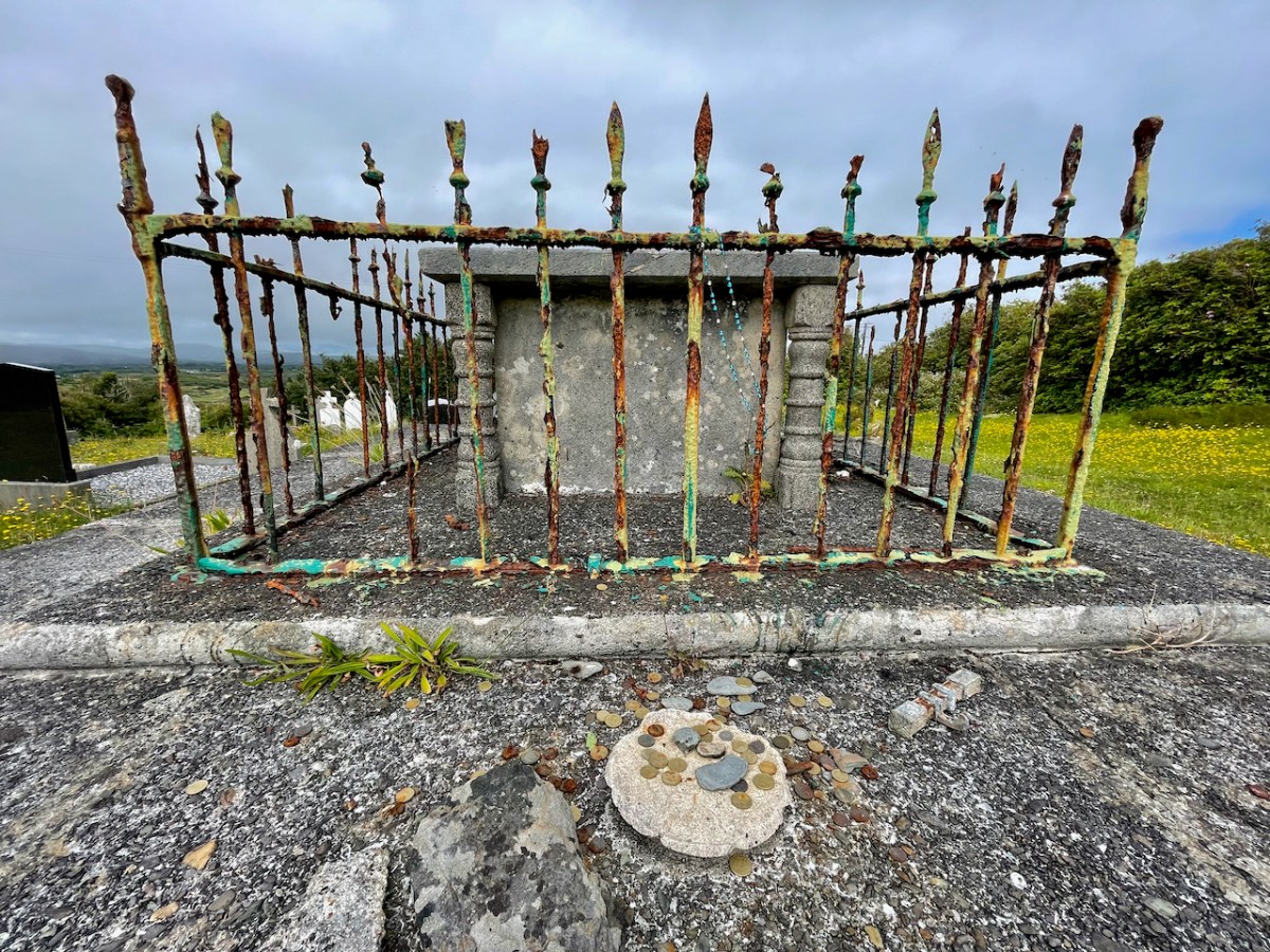
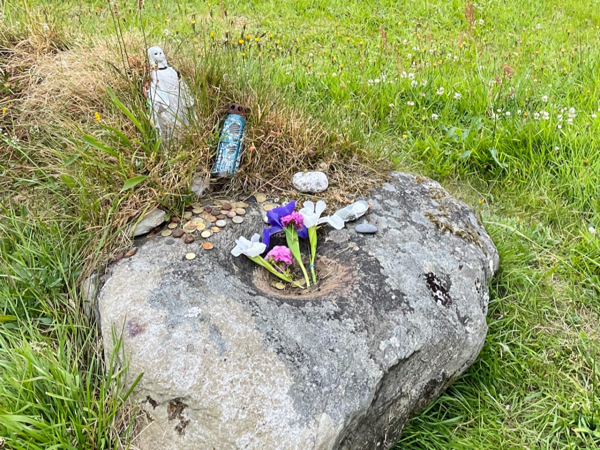
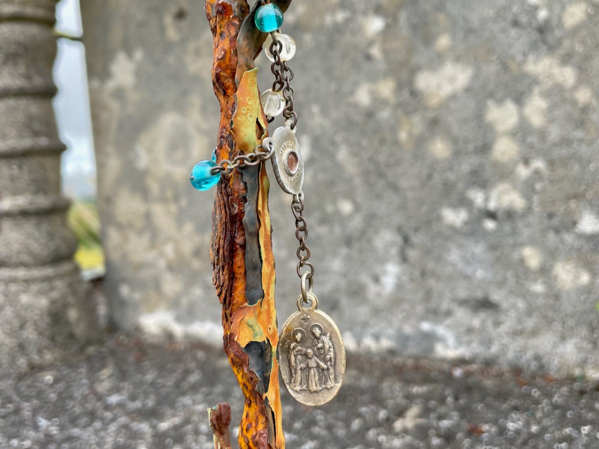
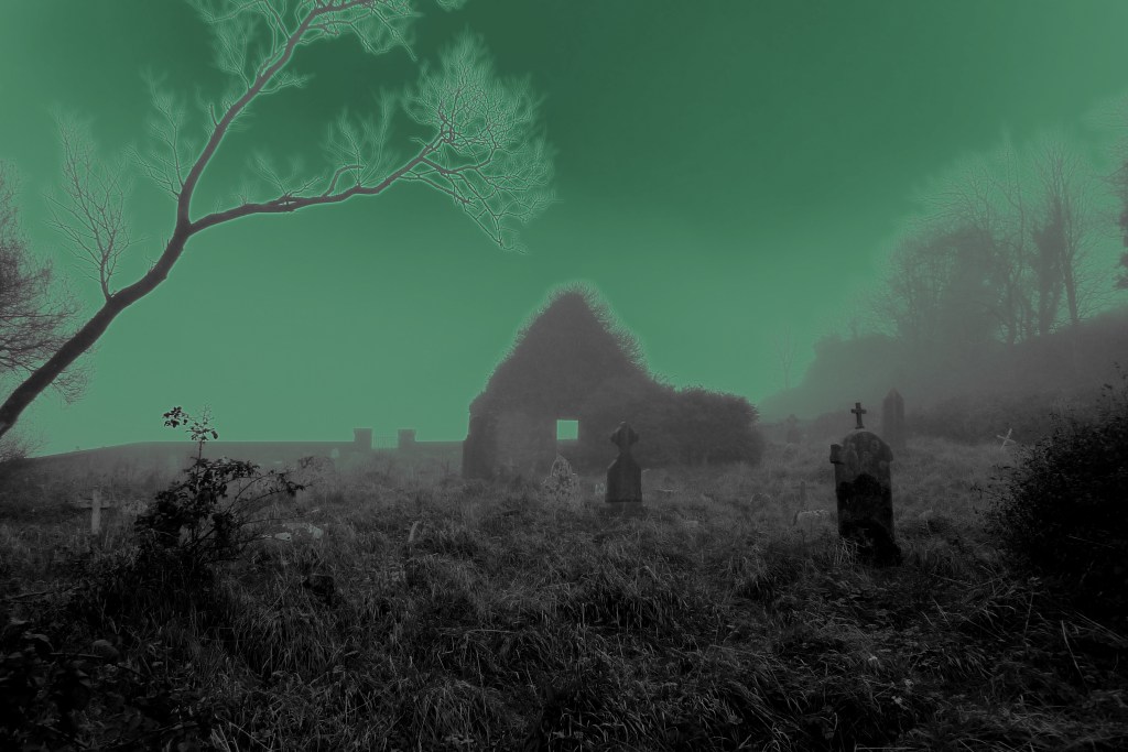
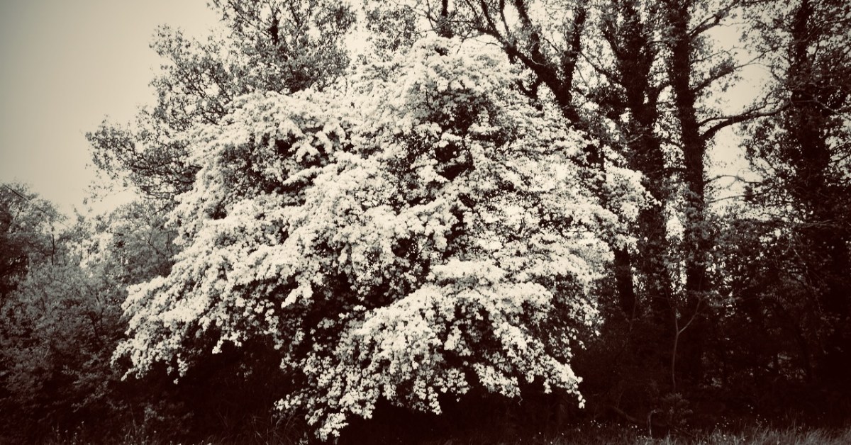
Where do they live? The country people believe it’s in the forts or raths – there are over a thousand of them in West Cork, untouched for centuries for fear of awakening those old spirits: some say that a lone whitethorn tree marks the entrance to their realms beneath the earth. There are tales, of course, of foolish men who disturbed the forts: farmers who were greedy for land and forgot – or ignored – the code passed down through the generations. Always they suffered for it. It might have been them, their wives and children, or their livestock: they came to no good end, and the neighbours shook their heads at the funeral, or the farm sale.
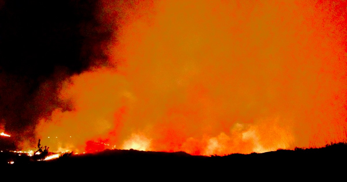
Just a few years ago there was a case which confirms the old beliefs. A new ring road was making its way around Ennis – the whole juggernaut of engineers, contractors, European funding, huge earth movers, gangs of modern navvies: and the whole shebang came to a sudden halt – because of a lone whitethorn tree – or Sceach – standing in the way. First it was just one or two of the gang – wouldn’t touch it: it would bring disaster. Then the whole gang agreed, and no amount of cajoling or threatening would change their minds. The media descended – it was a great story: first the local papers, then the national ones and, finally, the world came to see the fairy tree that stopped a nation’s progress. There could only be one result – the road moved to one side, and the Sceach remains to this day.
The story that follows was told to me a long time ago by a very old man: he’d been a priest. And before that a curate – back in the days when all the travelling was on horseback, or by pony and trap. His living was in the far west – one of the townlands: a close community with traditional rural ways. At that time he was companion to an elderly priest – one who was schooled in the old beliefs. This priest did his job well, and was much liked and respected by his scattered flock.
Shortly before Samhain an elderly parishioner fell sick and seemed close to dying. The priest was conscientious and visited often. The man lingered on, until one night – Samhain Eve it was – the priest had the call: the man was getting near his last breath. It was a long journey, and close to midnight, but the priest and his curate set out in the trap. Both men were sleepy and could hardly keep from nodding off, but the horse seemed to know the way – he had travelled it so many times – and the both of them woke with a start to find they were near their destination. But there was something strange: on the road in front of them, and walking the same way, there was a figure. It was dressed in black, and a hood covered its head. It walked slowly and – as they came nearer – they realised that it was playing a fiddle as it walked. They could hear a strange music coming from the figure: a plaintiff, unearthly air. They had the protection of the Book and Bell with them, but they both experienced an uncomfortable feeling in their stomachs, as though they were in the presence of something dark and powerful. They could only follow – the black figure set a slow pace and walked straight up the centre of the road: there was no way they could get past.
Eventually they came to the farm lane. Before they could turn up the trackway the figure stopped, and faced them. He put his fiddle down on the paving with the bow over the fingerboard. Then he addressed the priest directly in a voice that echoed from the darkness:
“I know where you’re heading, Father. There’s a man dying in there. I want you to do something for me…” The priest knew that the threshold of death, like all boundaries – places balanced in neither one world or the other – was a fertile and dangerous ground. He answered nervously:
“If it’s something that’s within my powers, then I will do it, willingly…” As they watched, the figure lifted his head and they could see within the hood a face yellow and ravaged with age.
“You must ask that man a question before he passes away…”
“A question…?”
“Ask him – what will happen to the Old Ones on the day of judgement?” There was a silence. The priest tried to sound calm.
“I will if I’m able…”
The figure paused a moment: “I will be here when you return… don’t forget…” He stepped back so that they could pass.
Neither man spoke. The trap came up to the farm, where there was a crowd inside to give support to the woman of the house – as was the custom in those times. The dying man was alone in the bedroom and the priest went straight to him with his cloth and candles. There didn’t seem much life left in the farmer, but he got his absolution. The priest looked around at the door, then bent down to whisper in the man’s ear. Suddenly, into the room came the farmer’s wife, carrying a glass which she gave to the priest. It was whisky: the woman herself was not a drinker and didn’t know about the water: she had filled the glass to the brim with the liquor. The priest also was not a drinker, but he needed something on that particular night, so he downed the glass. Then all the crowd of the neighbours came into the bedroom – and more whisky.

The priest was on his third glass when my friend the curate felt he had to intervene. The visitors were polite and saw the two clerics to their trap. It was only when they were halfway down the lane that the priest remembered the strange figure – and his promise.
“Wait here…” he said, but the curate was having none of that – in the dark and with an unquiet spirit on the road. So they both turned back. The host was again in the kitchen, and the priest made his excuses that he had forgotten something, and hurriedly shut the door of the bedroom fast behind him. He went straight up to the man – who looked for all the world as if he had passed on already – and whispered urgently:
“I have to ask you this – what will happen to the Old Ones on the day of judgement?” The effect was electrifying. The ‘corpse’ sat up straight, with eyes wide open. For a moment there was a silence, then he said with a great conviction:
“If there’s one drop of human blood in their bodies on the day of judgement… Then they will be saved…” He dropped back on the bed – a dead man.
The two clerics came to the end of the farm track. The figure was there, standing on the road with the fiddle beside him, as though he had never moved.
“Well, Father,” he said, “Do you have the answer?”
“I do so.” They thought they could see a glinting in those old, old eyes. “Tell me…”
The priest drew himself up and faced the spectre:
“He said this – and then he passed on. If there’s one drop of human blood in their bodies on the day of judgement… Then the Old Ones will be saved…”
The figure stared straight at them. His eyes seemed to glow red. Then they realised that he was furious. He took his hand from his coat and there was a dagger in it. They both thought that it was all up for them. But the figure pointed the dagger at his own breast… and plunged it in hard, a dozen times. The men winced, and held their breath. But there was nothing: there was no blood – not one drop…
The black figure turned and brought his foot down heavily on the fiddle. He seemed to snarl:
“There’ll be no more of our music in your world…” they heard. Then, in a moment, he was gone. And the road was empty before them…
The man who told me this story is long dead – but it’s not true that their music is gone. I’ve heard it: in the old raths; coming over the lake in the mountain; coming out of a wild storm at sea. The music is far too powerful – they can’t resist it. Perhaps that, in the end, will provide them with the salvation they so desperately seek.
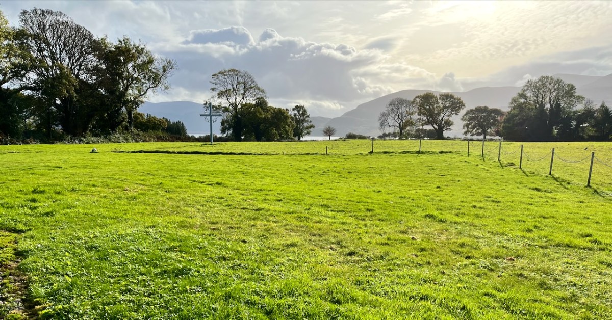
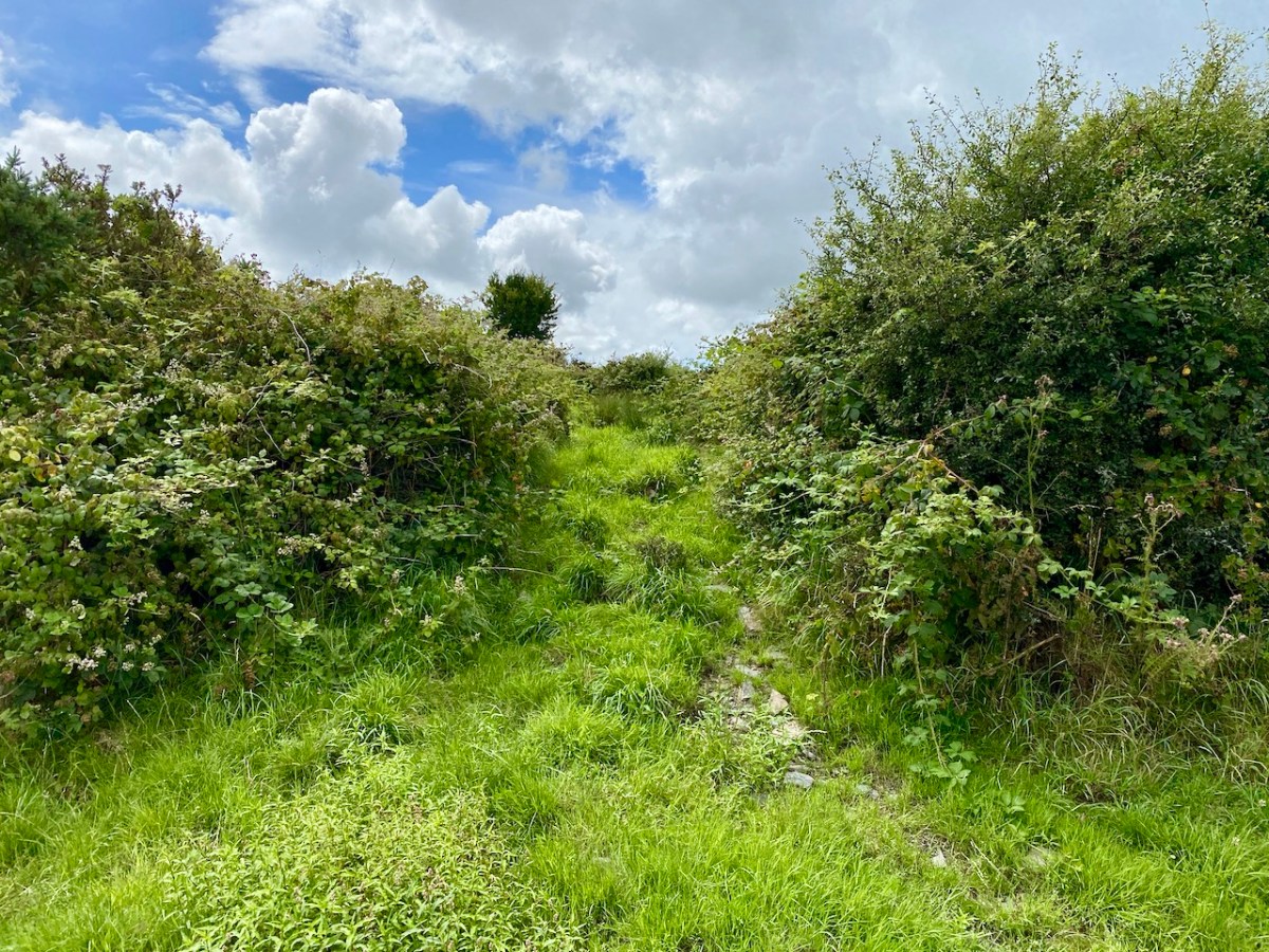
There’s a lone thorn tree on the old moorland above Cappaghglass. I visit it often. I play my concertina up there at times. That’s where I’ll go when I’ve had my fill of this world. Don’t disturb me: I shall be down there with the Other Crowd, enjoying the feasting and the dancing.