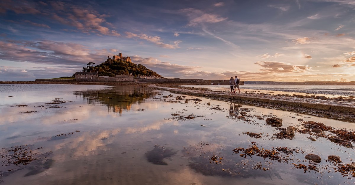
For a part of my life I lived in the west of Cornwall, looking out over St Michael’s Mount (above). Back in the 5th century, the Archangel himself appeared to fishermen on that rock. Legend has it that the Mount was constructed by giants and, also, King Arthur battled and defeated a giant there. As you all know, we have just passed Michaelmas – the day of the saint – September 29th.
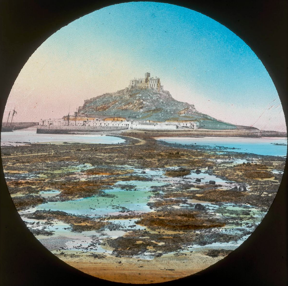
There is another ‘St Michael’s Mount’ on the coast of Brittany: Mont St Michel (above, from an old lantern slide). I have mixed memories of that place, having gone there on a school trip when I was twelve: I had all my hard-saved pocket money stolen from me in one of the little winding lanes that goes up to the summit. Michael is the patron saint of high places, so expect to find him on pinnacles.
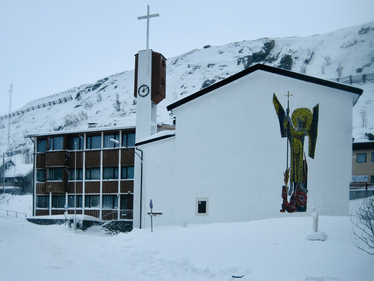
This St Michael’s church is certainly in a high place. It’s at Hammerfest in Norway, and has the distinction of being geographically the highest church in the world! (image by Manxruler)
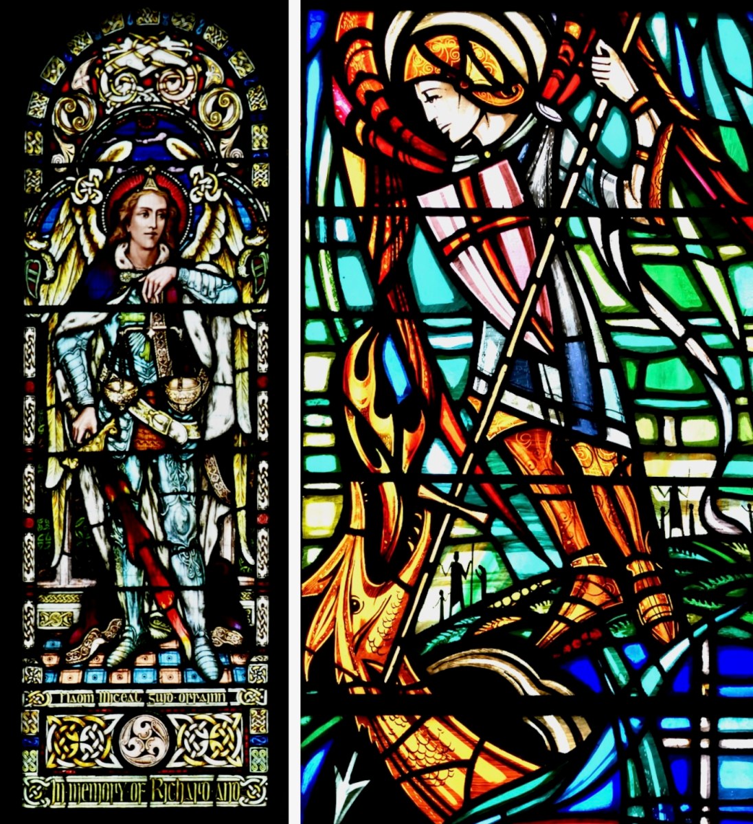
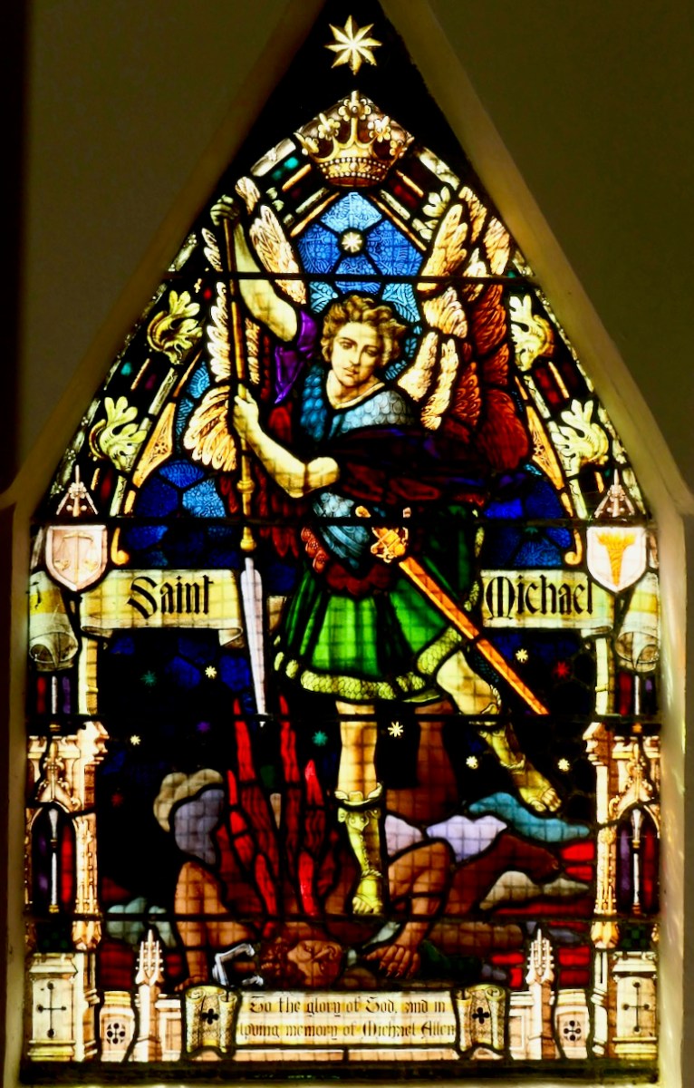
I asked Finola if there was very much in the way of St Michael imagery in Irish stained glass. There’s a fair bit: on the left, above, is a Watsons of Youghal image of the Archangel in his role as weigher of souls. He stands at the gates of Heaven waiting for you on Judgment Day with his scales in his hand. Often, beside him, angels hold up two books: the smaller one records the names of the blessed, while the larger book is a list of the damned… On the right is our friend George Walsh’s depiction of Michael defeating Satan, who here takes the form of an impressive dragon.
This St Michael is very local to us: it’s in Teampall Church at Toormore, and is by Clokey of Belfast (Finola’s photo). Look carefully and you’ll see the Saint pinning down the fire-breathing Devil.
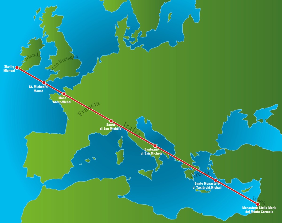
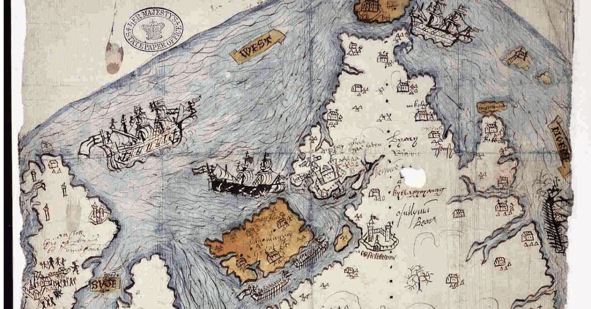
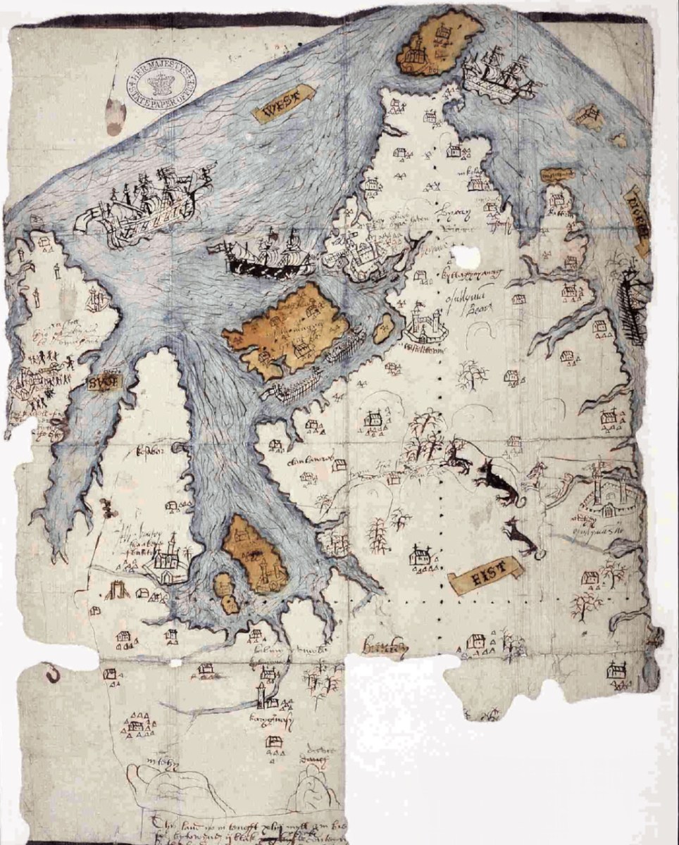
Also in my distant youth I was an ephemeral chaser of ley-lines: I have since thought better of it, but the idea of a straight line starting in Ireland and connecting seven St Michael sites while traversing Europe and Greece was attractive, and fleetingly convincing. Of course, there are many more Michael sites scattered around the Christian world which don’t fall anywhere near this line.
. . . As with other ley lines, no scientific evidence indicates that the alignment was planned and meaningful, making the claim pseudoscientific, but commonly reported at these sites. Physicist Luca Amendola noted that the deviation of these sites from the loxodrome that allegedly connects them ranges between 14 km and 42 km. According to legend the Sacred Line of Saint Michael the Archangel represents the blow the Saint inflicted the Devil, sending him to hell. Some also say that it is a reminder from Saint Michael that the faithful are expected to be righteous, walking the straight path . . .
Wikipedia
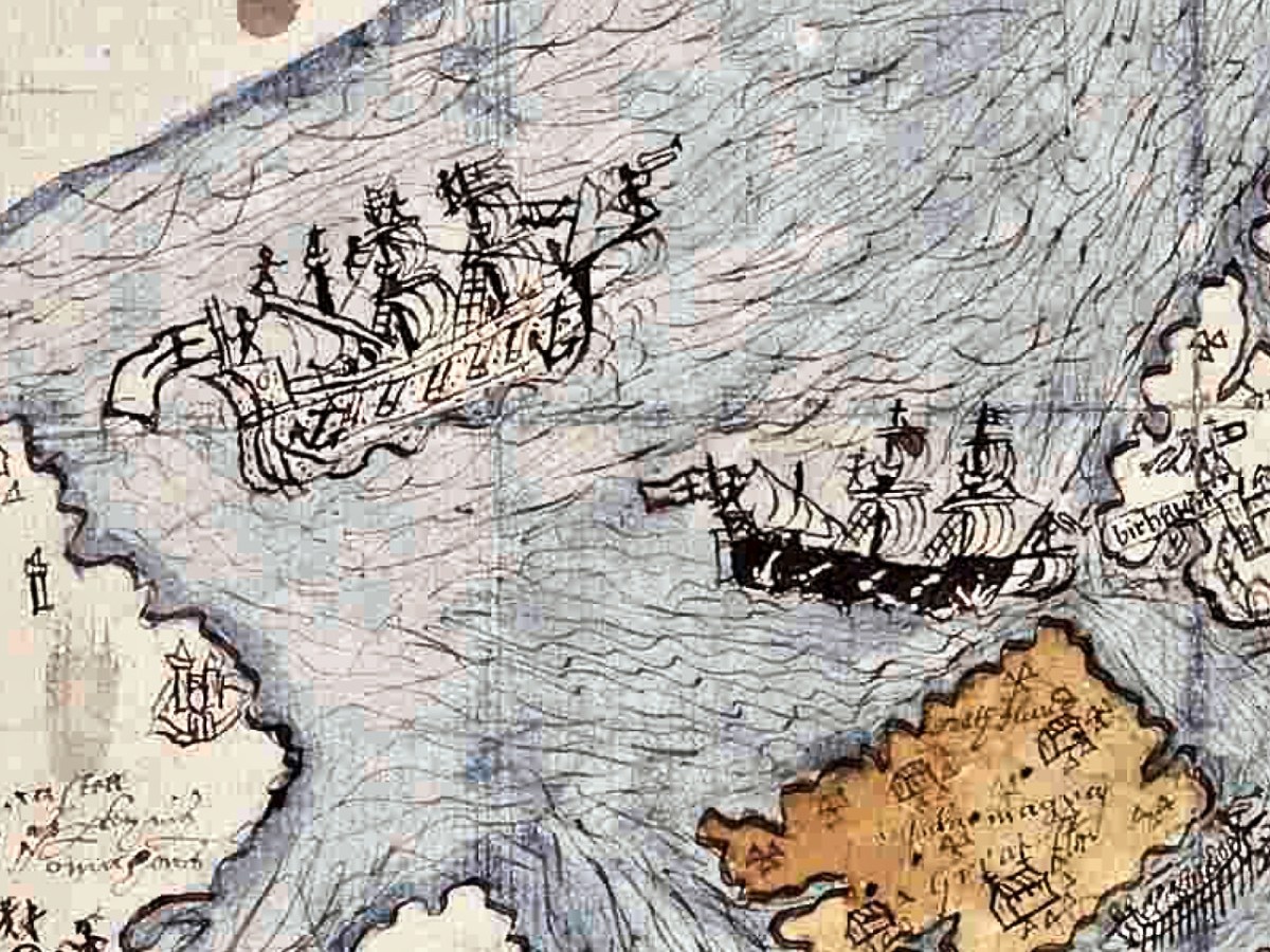
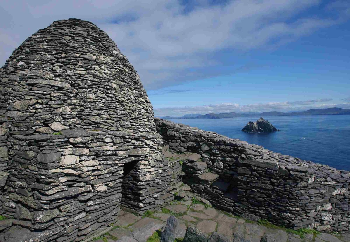
It’s nice to see that the phenomenon starts (or finishes) at Skellig Micheal, off the coast of Kerry (pic below courtesy of OPW):
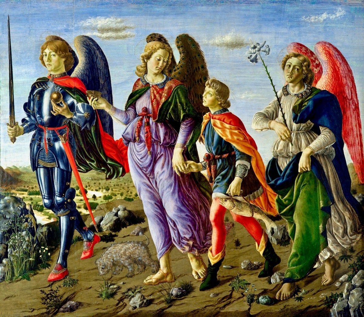
Here’s an interesting view of the three somewhat feminine Archangels painted by Francesco Botticini in 1470. Michael is on the left. With them is Tobias who, in the popular Biblical tale, overcomes obstacles as he and his heavenly guardians set out to discover a cure for his father Tobit’s blindness. They are successful, for Tobias returns with a cure for his father as well as a wife!
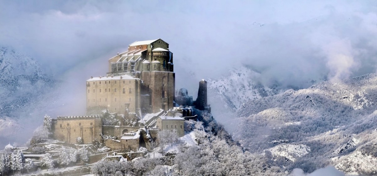
I couldn’t resist this wonderful image of a St Michael’s site (from Wikipedia). It is the tenth-century Sacra di San Michele on Mount Pirchiriano in Italy. It also happens to be on the Saint’s ley-line!

I’ll finish this little review of St Michael where I started – off the coast of Cornwall. This 1920s postcard of the Mount, from a painting by A R Quinton, sums up the romantic image which I still carry from my days lived on that coast.