In High Places

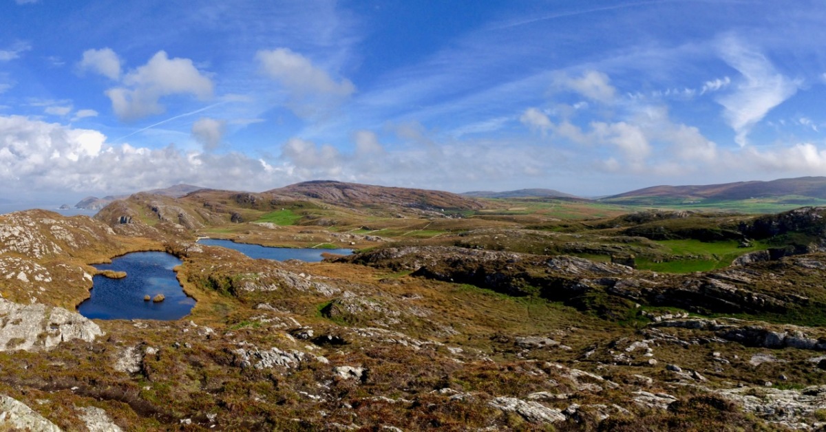
Here is a collection of photographs taken in West Cork from some of the high places: ridges, peaks, mountain paths. The pics were all taken around ten years ago, and haven’t been used in our blog posts previously. They serve to show stunning landscapes, of course, and hopefully illustrate the variety of the country which surrounds us here. The header is taken from the peak above Three Castle Head.

The upper pic is looking down on Bantry town from the high ground to the south, while the lower one reminds you of the evening view from Bantry at sea level.

If you leave your car at Galley Cove Beach and walk up the steep track towards Brow Head you will come across this enormous stone row – and you will look back to the peninsula of Crookhaven. Don’t be fooled by the stones: they have been placed on this site fairly recently. They are impressive, nevertheless.

And here is a closer view of Crookhaven.

While turning from this spot and looking west, you will see the end of the coastline at Brow Head. This stone is likely to be more anciently placed. In the distance is Mizen Head with its Napoleonic era signal tower at Cloghane.

Contrasting light effects seen on the footpath that follows the ridge on the Sheep’s Head Way. That’s the spit of land that runs from east to west between the Mizen Head and the Beara Peninsula. There are cairns on the summits, with the remains of a wedge tomb and a Marriage Stone to be seen along the way.

The view north from the heights of the Sheep’s Head takes in the Beara Peninsula and – seen above – the high point of Hungry Hill dominating the distant rugged landscape.

You are never far from the coastline in West Cork. Look out for wild seas constantly sculpting the rocks over millennia.

From our home in Cappaghglass we look out to our own ‘high place’ – Mount Gabriel. This enigmatic tract of land dominates the area and is imbued with legends and folklore. It is also one of the most atmospheric of our peaks at all times of the year.

Another local view for us (above): we face out to Rossbrin Cove on the Mizen Peninsula. Finally, the celestial spectacle (below) finds its pot of gold on the shores of the Mizen.

Mizen Magic 22: Crookhaven Harbour

It’s just the day for a Sunday drive, so come along with us as we explore the shore around Crookhaven Harbour. It’s turned cold all of a sudden, so we won’t do too much hiking or climbing today, just some gentle pottering around some spectacular scenery, with a hearty lunch in the middle of it all.

We’ve provided a map but you probably won’t need it as it’s a relatively small area and easy to see where you are at all times.

We’re starting off at Rock Island (1 on the map) – you remember what an interesting day we had there with Aidan Power? You can read that post as you wander around the island, either by car or on foot, and it will help to orient you to where you are. 

Driving off the island we turn left, along the road that hugs the water. We pass several sites along the way that date from various times in Crookhaven’s history. The first is the stone quarry that Robert wrote about in Industrial Archaeology in Crookhaven (2). It’s impossible to miss, looming above the road like an abandoned fortress wall. When he researched it, he drew a blank but one of our readers, John d’Alton from Schull, wrote to tell us of the background to the  Granite Company Lt. 

Once you’ve passed the old quarry workings, keep an eye on some small field coming up on the sea side. You will make out the ruins,(3) much overgrown, of some buildings near the water’s edge. This is all that’s left of a fish palace, originally built in 1616 by Richard Boyle, Great Earl of Cork, and his business partner in this area, the notorious Sir William Hull – read all about it in Robert’s post, Pilchards and Palaces.

The next site is on private land and not really visible from the road so here we are letting you into a little secret. At 4 on the map there’s what seems to be an old quay. There are really only a few rocks left, but one of those rocks is a piece of archaeology – a cupmarked stone. The cupmarks were probably hammered out thousands of years ago and the rock was probably transported here from close by to help build the quay. If you’re not too sure what a cupmarked stone is, take a look at this post, The Complex Cupmark. That’s Robert, below, taking a photo of the cupmarked stone.

We’ve arrived at the long beach at the head of the Harbour and we’re going to leave the car here and, because the tide’s out, walk on the white strand out towards a curious row of stones sticking out of the sand (5).

The Dúchas Folklore Schools Collection tells us these were known locally as The Blacks, and it was believed that some black sailors who drowned at sea were buried there. Indeed they do look like grave markers, but in fact they are part of an ancient field wall system that dates to when the tide was lower. 

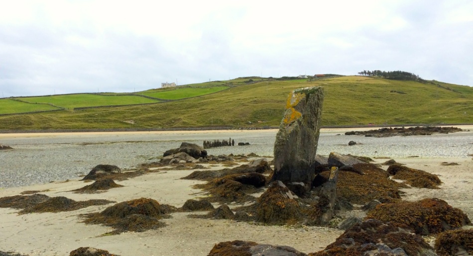
There’s an enormous upright stone here too – tempting to think that it may be a standing stone, deliberately erected, but archaeologists think this is a natural feature. In fact, it may have landed in this position after tumbling from the hill above, or perhaps it’s a left-over glacial erratic.

There are wonderful views from here back to Rock Island and across to Crookhaven, but let’s make our way back to the road now and wander down to Galley Cove. If you’ve a mind to, walk or drive up the road to Brow Head a little way (6), just for the incredible views across the whole of the Harbour and all the way to Mount Gabriel. We’ve written about Brow Head before, way back in 2014, and you can take a look at that post now, although it really deserves an update (one of these days).

Back down at the small parking lot at the base of the Head, you’ll find yourself at the beautiful Galley Cove (7). Since it’s December, you’ll have it all to yourself.

Linger to read the plaques that go along with the statue of Marconi (see Robert’s post on him here). There are several statues of Marconi around the world, and this one may be the quirkiest. It’s actually a witty take on the Washington DC statue – a mixture of the head of Marconi and the female figure of electricity  – take a look here to see what I am talking about.

Are you gasping for lunch? Could you, as they say around here, murder a crab sandwich and a pint (or a coffee, since you’re driving)? You are in luck, as you WILL find O’Sullivan’s pub open and they do the best crab sandwiches on the Mizen. On the way, take a look at St Brendan’s Church of Ireland (8), possibly the only old church in the area that still doesn’t have electricity. Nobody quite knows how old it is, but there has been a church on this spot since at least the 1600s. 

Don’t be surprised to find O’Sullivan’s (9) heaving – this is a very popular spot and we have never been there when it’s not busy. If possible, have your lunch sitting outside. In summer, you’ll be fighting for a table and surrounded by folk in sailing gear.

Have a meander around the village and see what else you can find (hint – the Mizen Goldsmith ’s jewellery is beautiful and would make a wonderful Christmas gift, although you might have to make an appointment at this time of year.)

Time to head for home, with one last little detour on the way, through Castlemehegan.  As you drive back the way you came, take a road that angles off to the left at number 4 on the map. It will take you back to Goleen over the hills and you’ll be wowed by the views from up there (10).

Did you have a good day?

Mizen Magic 18: The Prehistoric Landscape of Arduslough

There are parts of West Cork that seem to hold within them all the memories and markers of eons. Such a place is Arduslough, on the high ground across from Crookhaven (below, map and photo) and west of Rock Island (above).
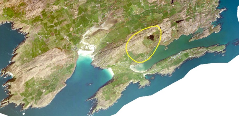
Technically, the places we explored are in three different townlands – Tooreen, Arduslough and Leenane, but mostly they fall within the boundaries of Arduslough. The name has been variously translated – Árd means high place and Lough means lake, both of which seem appropriate, but in fact the placename authority, Logainm, renders it as Árd na Saileach meaning High Place of the Sallies, or Willow Trees. Not much in the way of willows is obvious now, but the lake is certainly central to your view in the townland.

The Lake is the source of drinking water for Crookhaven and is the home, according to a story collected in the late 1930’s, of. . .

. . . an imprisoned demon of the pagan times. He is permitted to come to the surface every seven years on May morning and addresses St. Patrick, who is supposed to have banished him, in the following words “It is a long Monday, Patrick”. The demon does not speak in the English but in the vernacular. The long Monday refers to the day of General Judgement. Having expressed these words his chain is again tightened, and perforce he sinks to the bottom of the lake for another period of seven year His imprisonment will not expire till the last day.
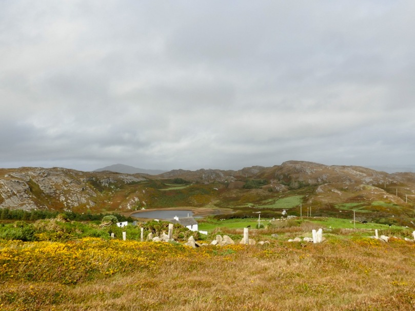
We saw no sign of the demon and the lake looked remarkably untroubled, with its floating islands of water-lilies.
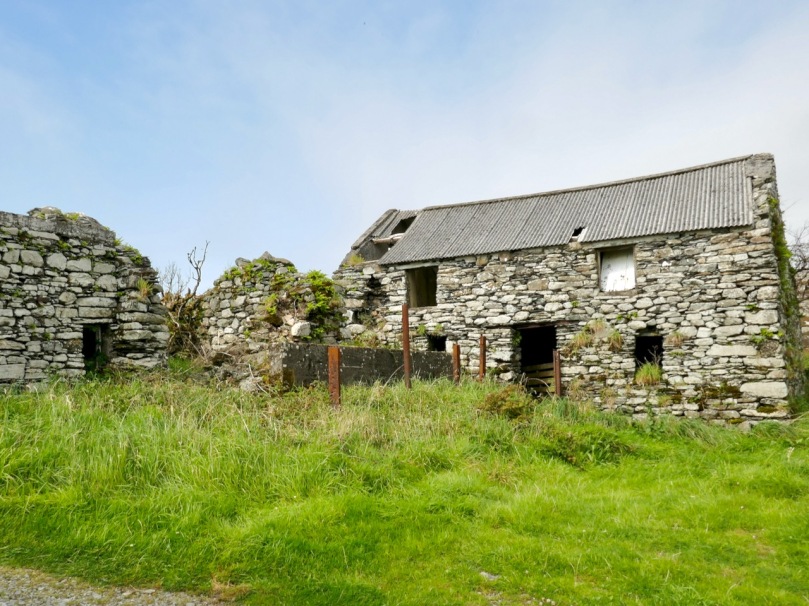
For a relatively small area, Arduslough abounds in archaeological monuments – there are four wedge tombs, three cupmarked stones, a standing stone and a piece described as either an Ogham Stone or Rock Scribings, depending on what you read. The remains of old cabins dot the landscape too, reminding us that this was a much more populous place before famine and emigration decimated the population.
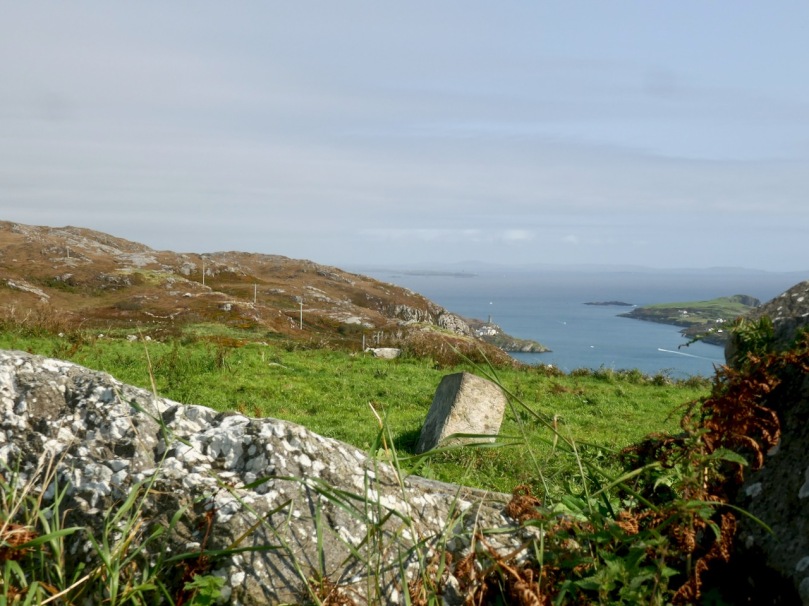
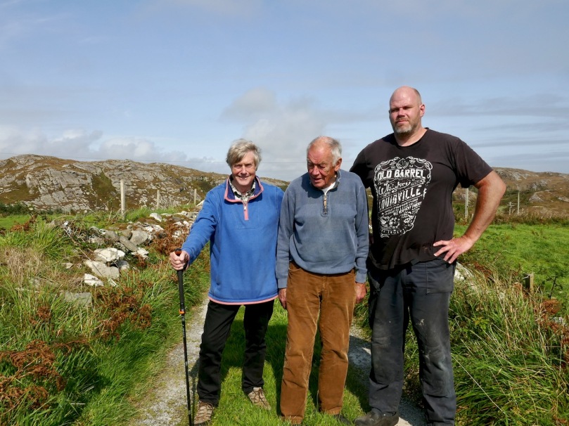
The standing stone, and Robert with Jim and Ciarán O’Meara

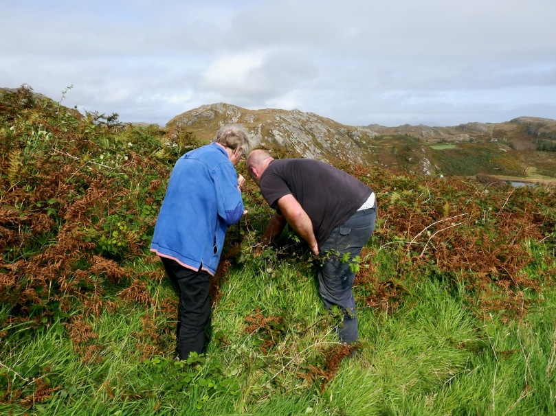
Arduslough is the home of esteemed local historian Jim O’Meara, who grew  up in Goleen but spent most of his adult life teaching in Belfast. We met up with Jim and his son Ciarán, who very kindly offered to show us the Ogham stone. It was so well hidden under layers of brambles and bracken, and built into a field fence, we would never have found it on our own.

It is impossible to say if it is real, or even false Ogham, as it is heavily weathered and lichened, but if we turn again to the School’s Folklore Collection, we find this entertaining account of it:

There is a stone in Arduslough, a townland on the hill to the north of Crookhaven, on which are very old characters or ancient writing. It is very difficult to discern these markings now as the centuries during which they were exposed to the weather have obliterated them. The following story explains the origin of them.

In ancient times there lived in Toureen a man named Pilib. He informed on some party of Irish soldiers who were hiding in the heather there. The enemy came on them and burned the heather round them in which the soldiers perished. The stone was erected in this spot and the event was recorded on the stone. Years passed and the language underwent a change. In later years the people did not understand what was recorded on the stone, and went to the Parish priest asking him to interpret it. He translated it as follows – ‘that every sin will be forgiven but the sin of the informer Pilib an Fhraoich [Philip of the Heather].

We had previously located one of the three cup-marked stones, including a visit a couple of days earlier with Aoibheann Lambe of Rock Art Kerry (below). Ciarán thought he might be able to find another one, but extensive searching and bracken-bashing failed to turn it up.
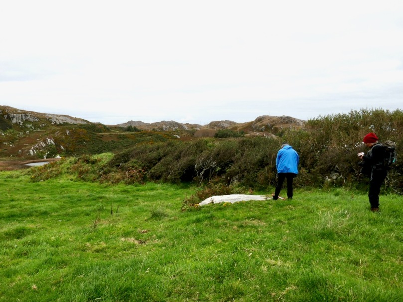
The folklore collection is full of references to mass rocks, druid’s altars, and giant’s graves, as you would expect from the number of Bronze Age wedge tombs recorded in this area. (For more on Wedge Tombs, see my post Wedge Tombs: Last of the Megaliths.) Two of them are situated on the slope above the lake (below) and we left them for another day. A third is hard to spot and indeed we didn’t.

We headed up to the high ground west of the lake to find the one that local people still call the Giant’s Grave. What a spectacular setting this is! First of all, you are now on a plateau with panoramic views in all directions. West lie the two peninsulas of Brow Head and Mizen Head and the boundless sea beyond.
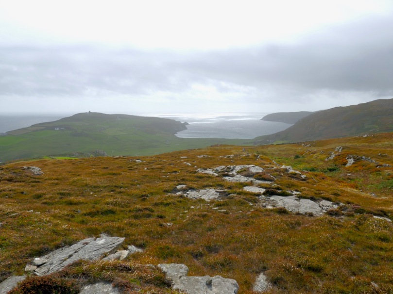
This is heathland, covered in heather and Western Gorse – a colour combination that has the power to stop you in your tracks – and traversed by old stone walls.
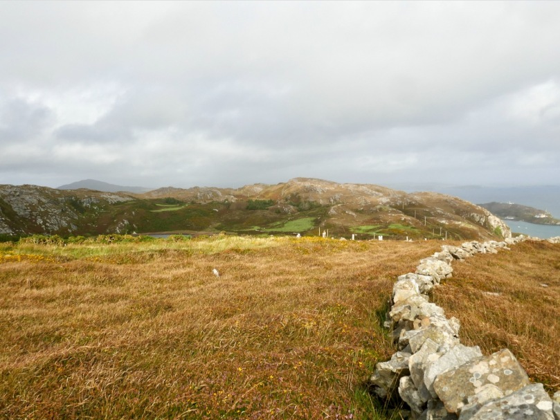
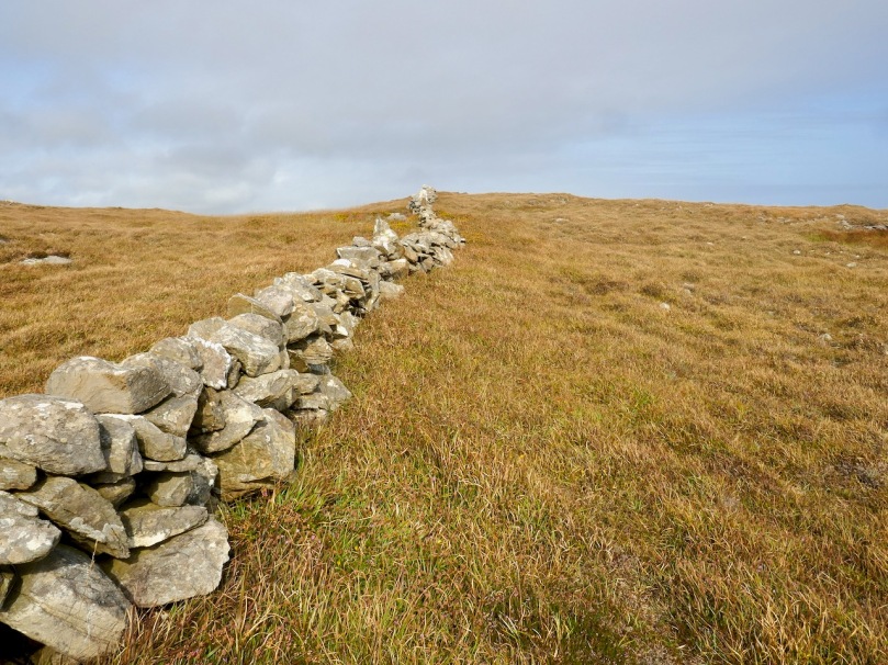
From this colourful bed the stones of the Giant’s Grave arose, pillars silhouetted against the sky. It’s actually in the townland of Leenane, just outside the boundary of Arduslough. When Ruaidhrí de Valera and Seán Ó’Núalláin conducted their Megalithic Survey in the 1970s they commented that the tomb was ‘fairly well preserved’ and  ‘commands a broad outlook to the south and east across the sea to Cape Clear and Roaringwater Bay.’ They interpreted what was there as a wedge tomb, although with some uncommon features.

First of all, they said the tomb was ‘incorporated’ within an oval mound. While mounds are known for wedge tombs, they are unusual and most of the Cork examples, included excavated ones, show no trace of a mound. Stones sticking up here and there, protruding from the mound, they interpreted as cairn stones.

Secondly they noted two tall stones on the north side of the tomb – one is still standing and clearly visible (above and below) – whose function was ‘uncertain.’
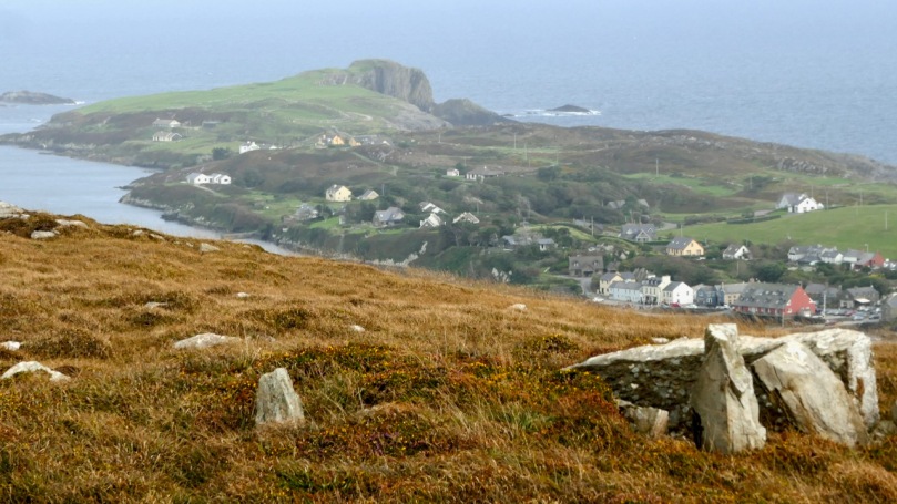
Two tall stones at the south west end (above) seemed like an ‘entrance feature.’ Our own readings at the site indicated that the orientation was to the setting sun at the winter solstice, a highly significant direction to where the sun sets into the sea.
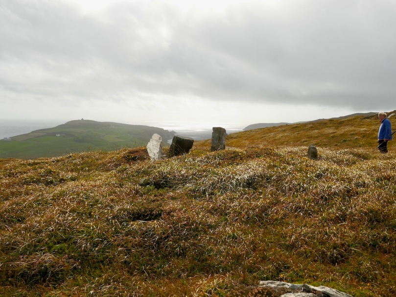
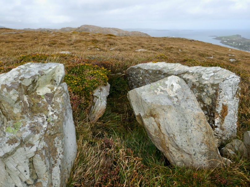
So – an unusual wedge tomb. Elsewhere in their report de Valera and Ó’Núalláin state repeatedly that a hilltop setting and a rounded mound are consistent with passage graves. However, at the time no passage grave had been identified this far south and they were thought to have a more northerly distribution. Since then, two have been identified in County Cork – one at the highest point on Cape Clear, which is visible from this site, and one in an inter-tidal zone between Ringarogy Island and the mainland. Perhaps it is worth considering whether, rather than a wedge tomb, this site may be a passage grave, like the one that Robert writes about this week in Off the M8 – Knockroe Passage Tomb or ‘Giant’s Grave’.
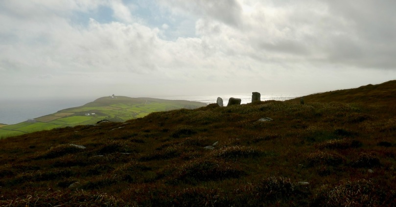
Whatever we label it, this Giant’s Grave is a spectacular site. It’s not hard to imagine, up there, that Neolithic and Bronze Age farmers were just as awe-stricken as we were with the magnificence of the surroundings. Tending their herds, they marked the seasons with the great movements of the sun and moon, and commemorated their dead with enduring stone monuments. More recently, people invested the landscape with myth and stories. Walking the hilltops, you know you are in the footsteps of all who went before.
Top Fifteen West Cork Photographs of 2018

Photographs are vital to this blog, so we are always out and about with our cameras. This is a personal selection of images that pleased us in 2018. Some of these photographs have appeared in our posts, and some on our Facebook pages, but several are appearing here for the first time. Some of them remind us of places we’ve stumbled across, like the one above. It’s a room in the 15th century Castle Salem, all done up for a movie – a wildly romantic one, I bet.

From there to the iconic Fastnet Rock Lighthouse. They changed the bulb this year, to LED. We can still see the light at night, but it doesn’t sweep across the sky like it used to. On this trip, mostly photographed by my nephew, Hugo, the scaffolding was still up for the renovations.

We love the Beara and try to get over there as often as possible. It’s famous for its colourful villages – this one is Ardgroom. And not too far away is a wonderful stone circle – Robert mentioned it in last week’s post. This photograph is of the outlier and shows how it seems to mirror the shape of the landscape on the Iveragh Peninsula.

Coming back, or going, our route always takes us over the incredible Healy Pass. I’ve chosen the photograph below because the remoteness of the little farms take my breath away.

But if you look closely, this photograph also shows the old field patterns from tiny holdings long ago, including the lazy beds – ridges left from cultivating potatoes by hand.

Our own Mizen Peninsula is fertile ground for exploration. This enormous standing stone, for example, can be seen in Crookhaven Bay. But even though it seems to be set in the sand deliberately, some authorities feel it is a natural feature. There’s what looks like an old stone field fence nearby, and lots of archaeology in the area.

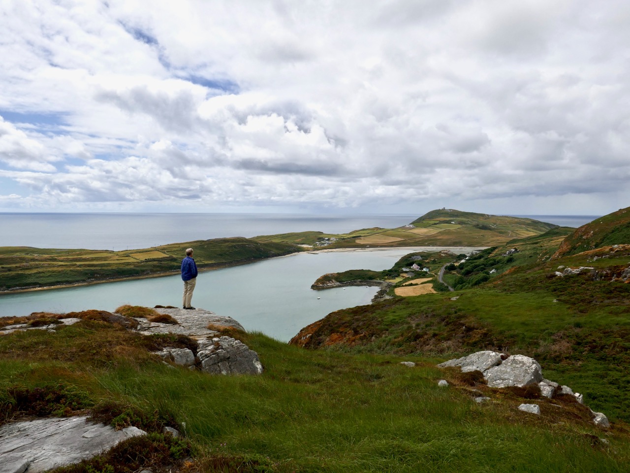
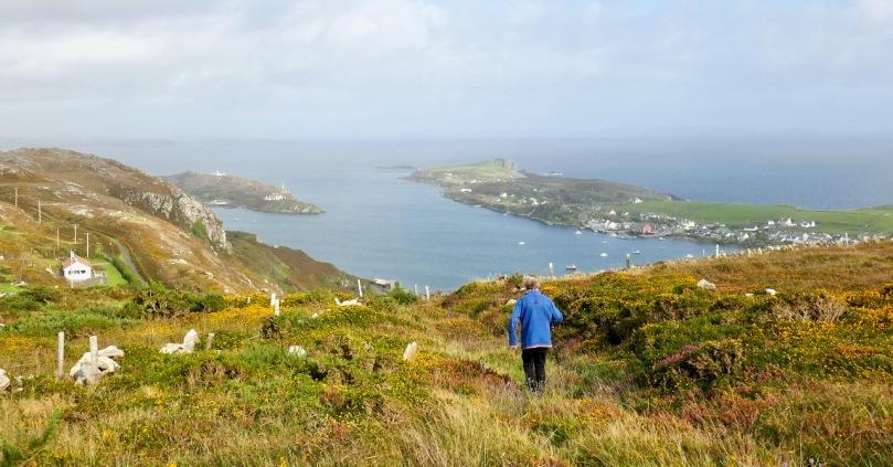
We’re looking down on that area from this vantage point (above), and across to Brow Head, always great for a wander – we included it in our West Cork Obscura list.

We love to bring our visitors out to the Mizen Head Visitor Centre too. It’s a wonderful experience, with dramatic scenery and vertiginous cliffs. There are lots of remnants still to remind us of the active past of this lighthouse and signal station, including this derelict, if picturesque, shed.

Of course, the weather isn’t always wonderful, even if it seems that way in a set of carefully-chosen images. But even when it’s wild, it’s worth taking the camera along – the photograph above was taken at the Altar in Toormore on a stormy day.

Robert, as our readers know by now, is a hare fanatic, and one of the highlights of his year (next to becoming a citizen!) was when little Berehert, a young hare, showed up on our lawn and hung around for a few days.

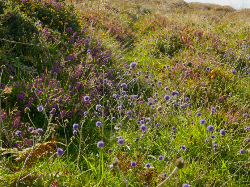
Meanwhile, nothing makes Finola happier than to wander around among the wildflowers. She runs a Facebook page on the Wildflowers of West Cork – so pop over there any time to see the amazing range of flowers that we get to enjoy here.

The other thing she loves is to drop into churches to study the stained glass. We’ve written about the fabulous George Walsh windows in Eyeries before, but there are lots of surprises wherever you go. She was quite taken with a wonderful three-light war memorial window in St Peter and Paul Church of Ireland in Bandon. Above is King David from that window, by the firm of Clayton and Bell. Gorgeous, isn’t it?

From March to October West Cork hosts a huge number of festivals. Everybody goes to everything – from the Ballydehob Jazz Festival (above), to events celebrating country and traditional music, history, wooden boats, the arts, short films, knitting (really), stone carving, food and more.

Our own view is a never-ending source of delight. This is sunset over the Goat Islands, Greater and Lesser, which lie west of Long Island. There’s a cleft down the middle, which is dangerous to try to navigate, and no place to land. As a result the islands are quite wild, with a herd of feral goats. For us, they have an air of profound mystery.

Our final photograph was taken yesterday – a traditional farmhouse on the slopes of Mount Gabriel. Lots more West Cork scenes in the months to come!

Mizen Magic 3: Brow Head

On Brow Head, looking back up the Mizen Peninsula

On Brow Head, looking back up the Mizen Peninsula

Contrary to popular belief, Mizen Head is not the most southerly point on the Irish mainland – that distinction actually belongs to Brow Head, just to the east. Brow Head doesn’t have the same profile as Mizen Head: many people have never heard of it. But it’s magnificent, steeped in history, wonderfully scenic and best of all, totally walkable.

Possible prehistoric field boundary, visible at low tide

Possible prehistoric standing stone and field boundary, visible at low tide

You arrive at Brow Head by driving west from Schull out towards Crookhaven. If the water is low in the Haven you may spy the remains of ancient field boundaries, covered at high tide.

Galley Cove

Galley Cove

The starting point is Galley Cove – a smaller and quieter beach than the popular Barley Cove a little further west, but featuring the same white sand and inviting Caribbean-blue water. You can leave the car here and proceed on foot uphill if you’re feeling in the need of an aerobic workout. Or you can drive up the narrow road, but be warned: if you meet a car coming down you may have to reverse a considerable distance. There is parking for three or four cars at the top of the hill.

Recently-erected standing stones

Recently-erected standing stones

The first thing you’ll notice, in front of the lone house at the top of the hill, is an impressive row of standing stones, aligned to point back down the Mizen Peninsula. These are recent additions to the landscape, testament to the enduring tradition of erecting such stones in this part of the world.

Scramble up through the heather to the remains of the Napoleonic-era signal tower and the Marconi Telegraph Station – see Robert’s post for more about Marconi and early wireless telegraph in West Cork. From here there are panoramic views east to Crookhaven and down the Mizen Peninsula, west to Mizen Head, North to Barley Cove and southeast to the Fastnet Rock.

Follow the path now south west to the tip of the Head. This was a copper mining area in the nineteenth Century and you can still see the ruins of the Mine Captain’s house, miners’ dwellings and fenced off mine shafts. Abandoned cottages litter the north-facing slopes, with small overgrown fields defined by stone walls.

Near the tip of the Head you must cross a narrow causeway with steep cliffs on either side. This part is not for the faint of heart (or small children, perhaps) especially on a windy day. Find a sheltered spot at the end and sit a while. You may see gannets diving here, or dolphins in the waters below, and you will certainly be aware of the power of the pounding waves.

Next parish - America!

Next parish – America!

Before you leave, make sure that you make a wish – after all, this is a special place, and special places in Ireland have their own magic. 

Heron tracks

In the Haven

Mizen Magic

We’ve done several posts on the Sheep’s Head and the marked hiking trails that crisscross that peninsula. But we actually live on a different peninsula, The Mizen, and it is just as glorious and wild and beautiful.

Map of Mizen and Goleen

The road to the Mizen Head starts at Ballydehob, runs along the southern side of the peninsula through Schull and Toormore and on to Goleen and Crookhaven. At the far or western end are the beaches of Barley Cove and the Mizen Head Lighthouse and Visitor Centre. There are no villages on the northern side of the peninsula until you reach Durrus, which also marks the start of the Sheep’s Head Peninsula. It is bounded on the south by the waters and islands of Roaringwater Bay and on the north by Dunmanus Bay. The whole peninsula is rich in history and archaeology and we plan future posts about many aspects of life here.

For the moment, a flavour in photographs of what The Mizen landscape has in store for visitors.

Dunbeacon Stone Circle

Dunbeacon Stone Circle

Ballyrisode Beach

Ballyrisode Beach

Dunmanus Bay

Dunmanus Bay

Mizen Head

Mizen Head

Dunmanus Harbour

Dunmanus Harbour

Three Castle Head

Three Castle Head