It’s not my imagination – we did indeed have more than average rainfall this winter, according to Met Éireann. It felt relentless and it just stopped the other day.

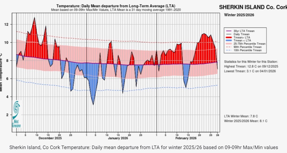
I am, apparently, wrong that the winter was also colder – above average temperatures resulted in the 20th mildest winter since 1990. It didn’t feel like that, though: looking at this chart from Sherkin Island shows lots of below-average spells, while Dublin airport had its ‘dullest’ winter since 1994.
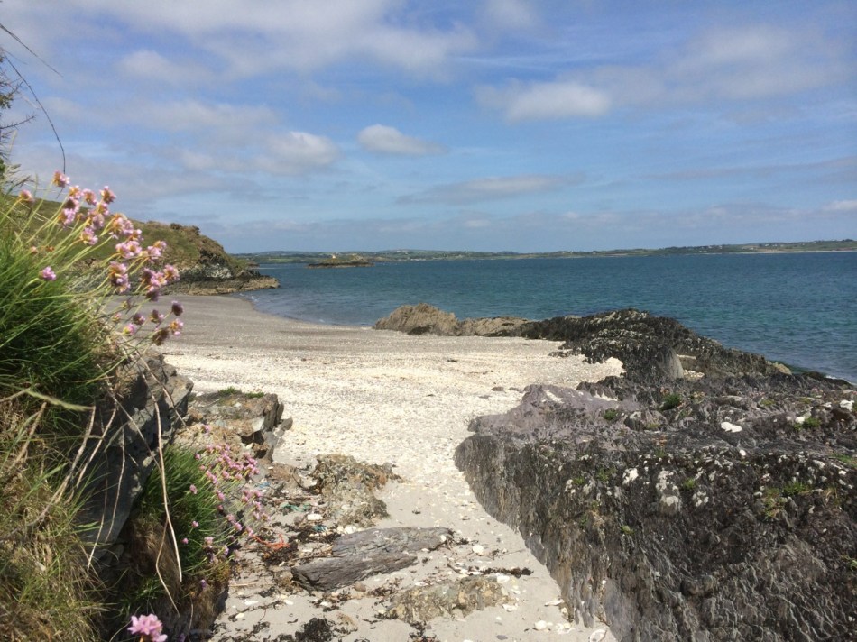
So on Friday when my forecast app showed sunshine all day I headed out into this unexpected and most welcome balmy weather, pointing my car towards the end of the Mizen. As I drove I couldn’t help thinking of the story by Ray Bradbury, All Summer in a Day. It’s set on a colonised Venus where it rains constantly, and the sun emerges for only one hour every seven years. You can read it here, if you don’t know it, or watch it here, but be warned it’s very sad.
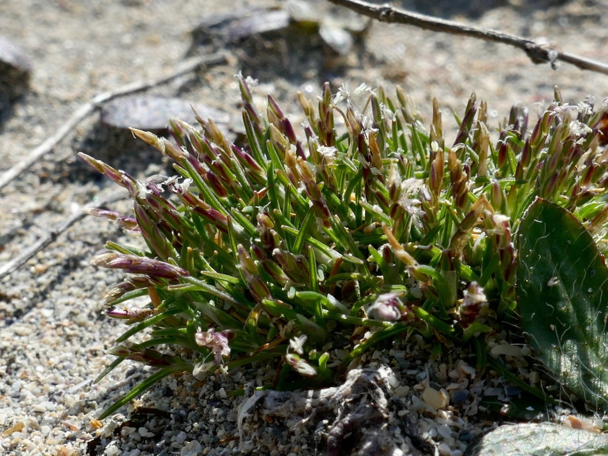
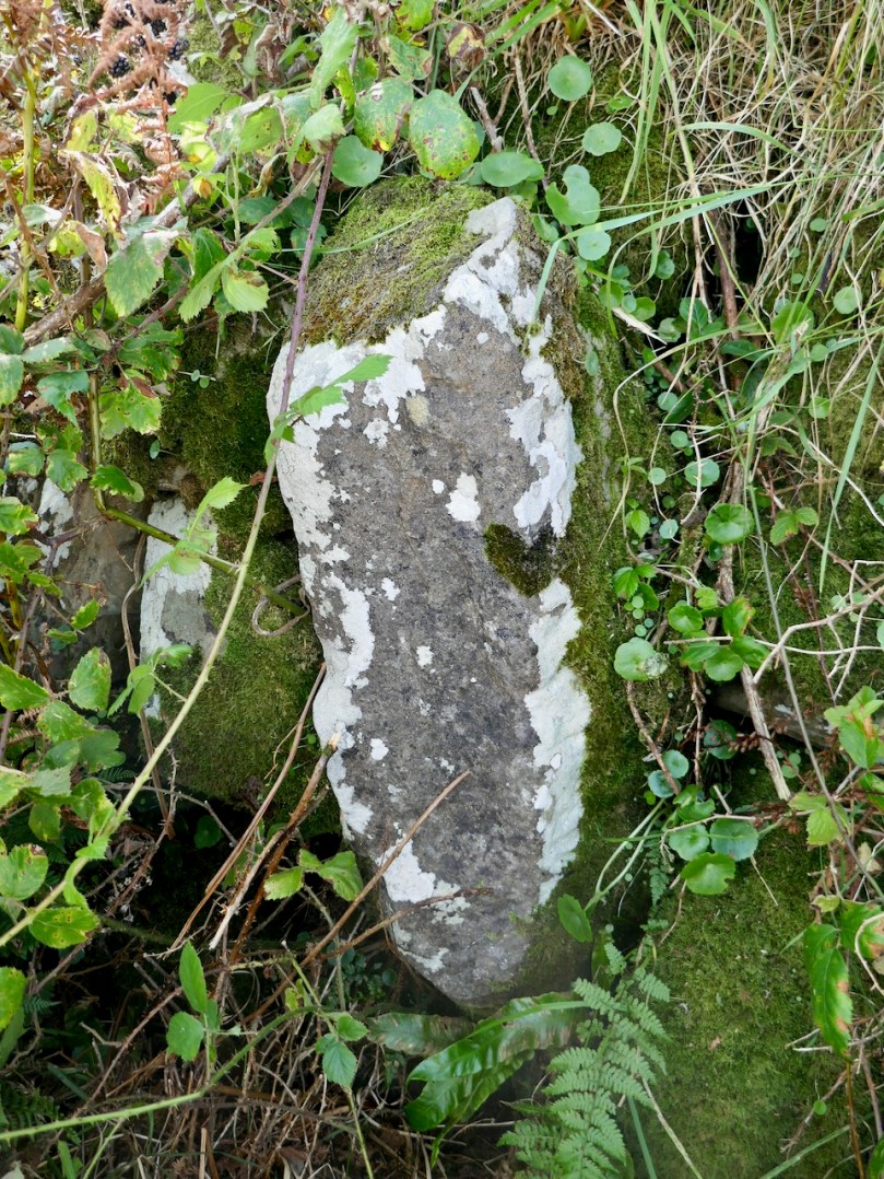
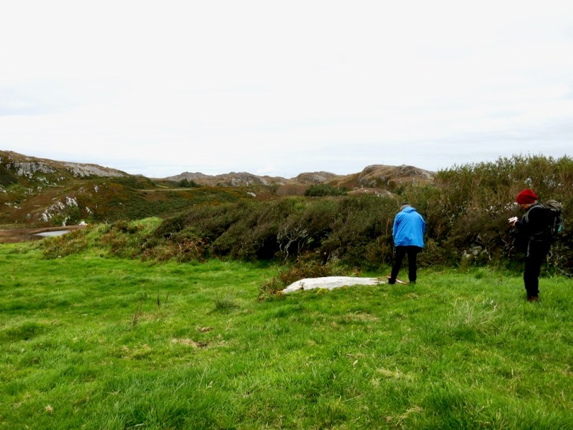
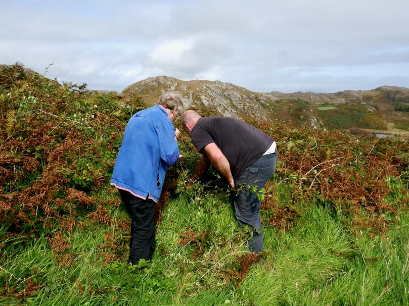
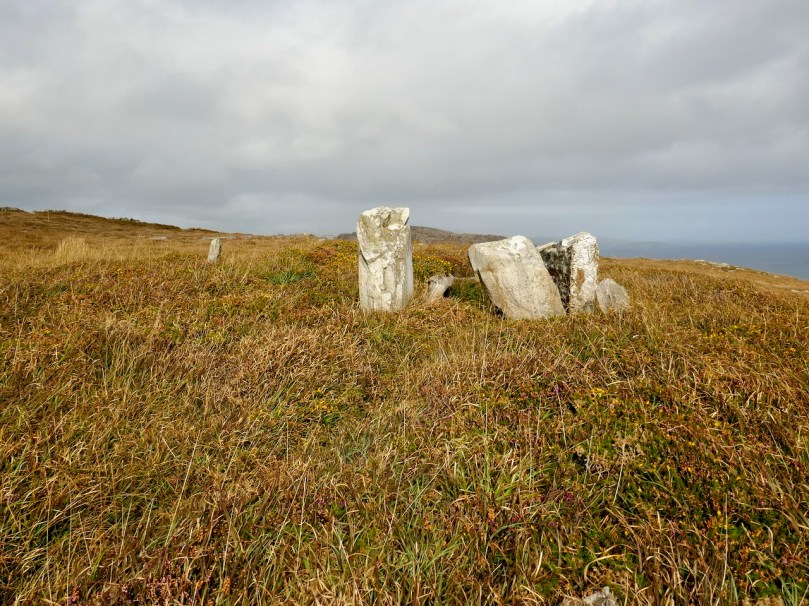
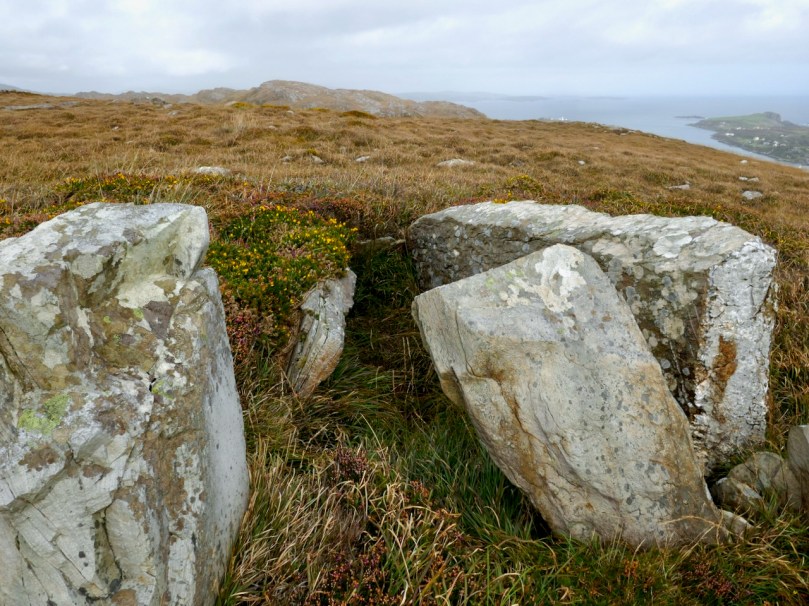
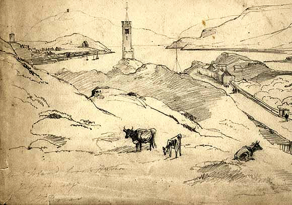
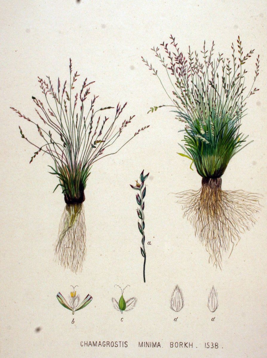
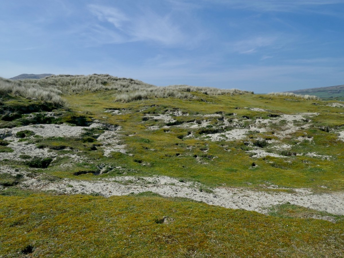
My immediate goal was to do my rare plant count. As I have related before, I monitor several rare plants for the Biodiversity Data Centre, and the one that comes up earliest is the least visually exciting. In fact, it would be hard to imagine a more homely little plant than Early Sand-grass (Mibora minima for the true botanists among you), although this illustration makes it look quite attractive*.
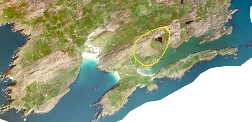
Spelled several different ways (one word, two words, hyphenated) this is one of the smallest, if not the smallest, grasses in the world, it is only found in Ireland in the dunes at Barley Cove and on Bull Island off the coast of Dublin. I volunteered to count it in 2022. So this is my 5th year observing it and I can say that it is holding its own and perhaps even expanding its range slightly each year.
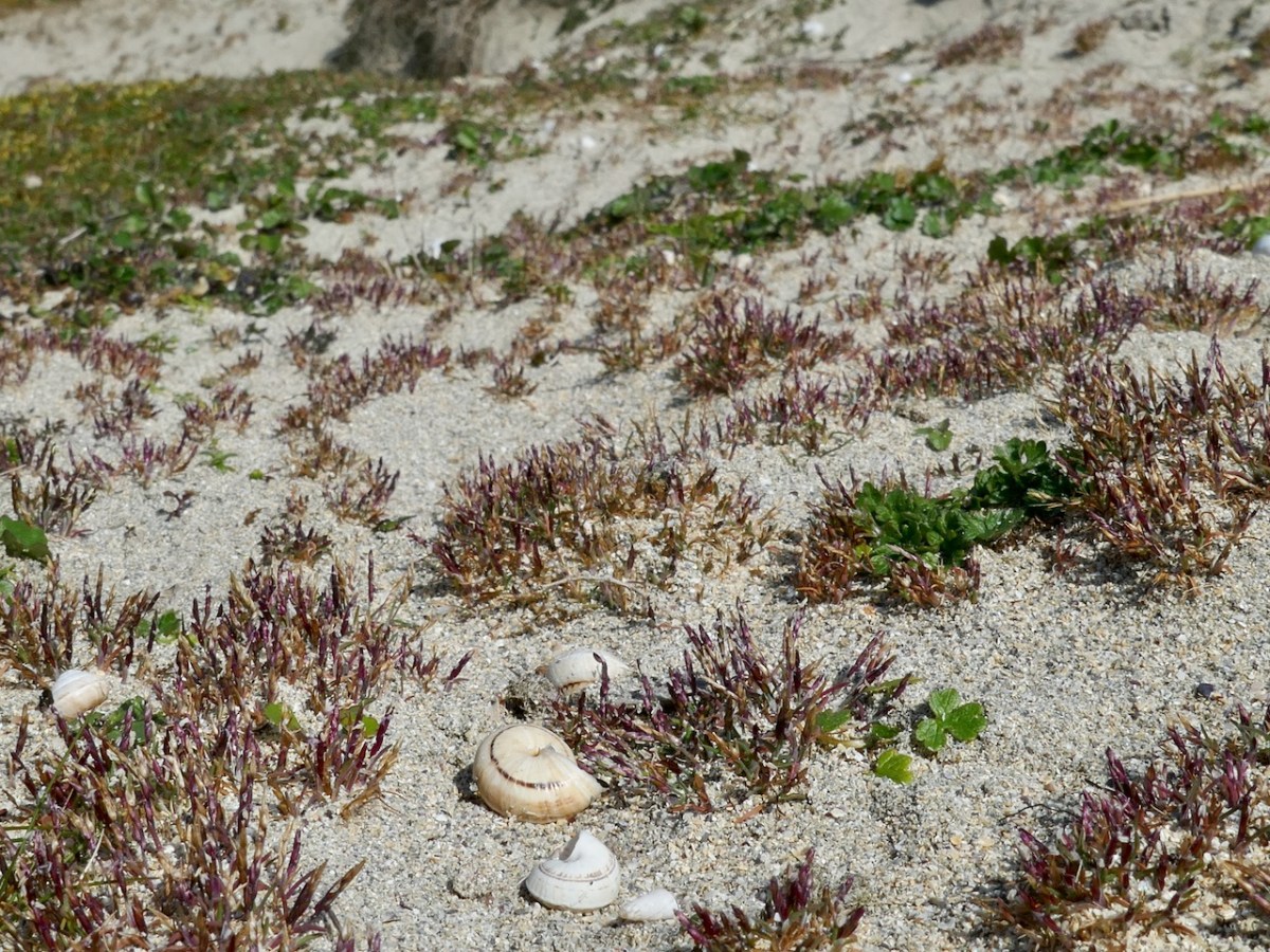
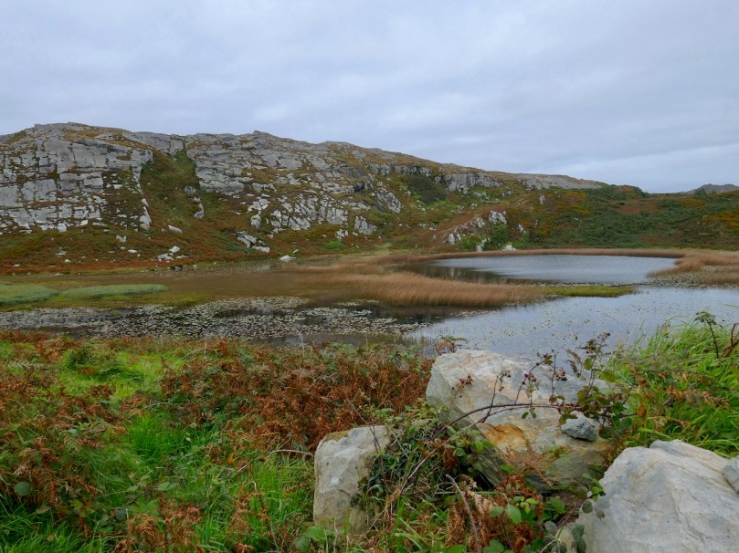
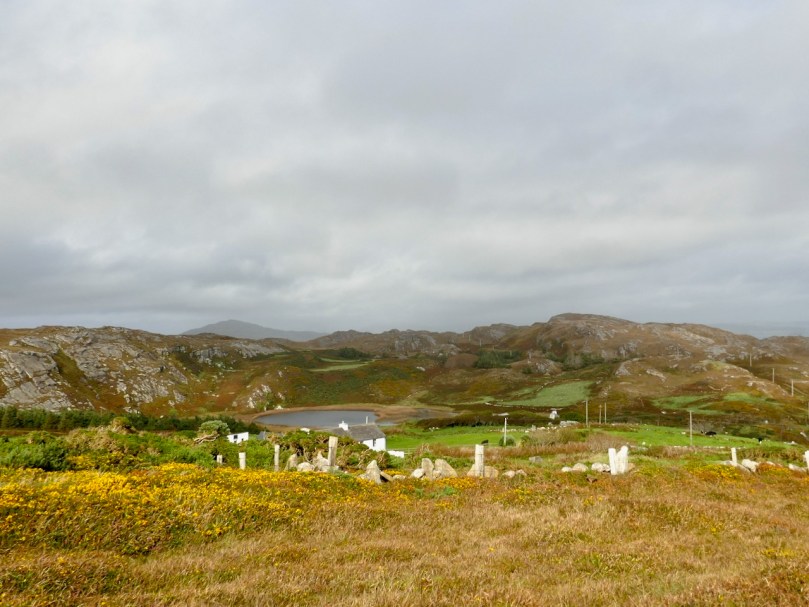
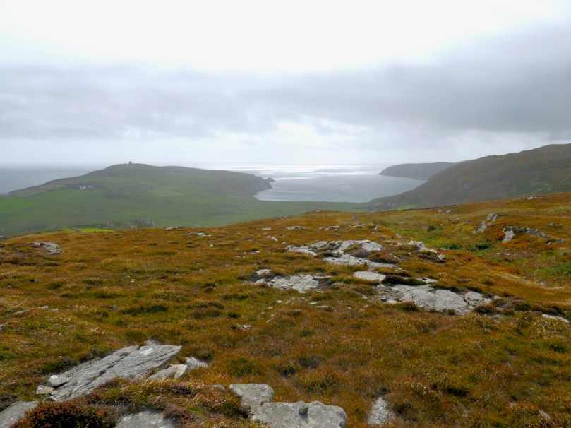
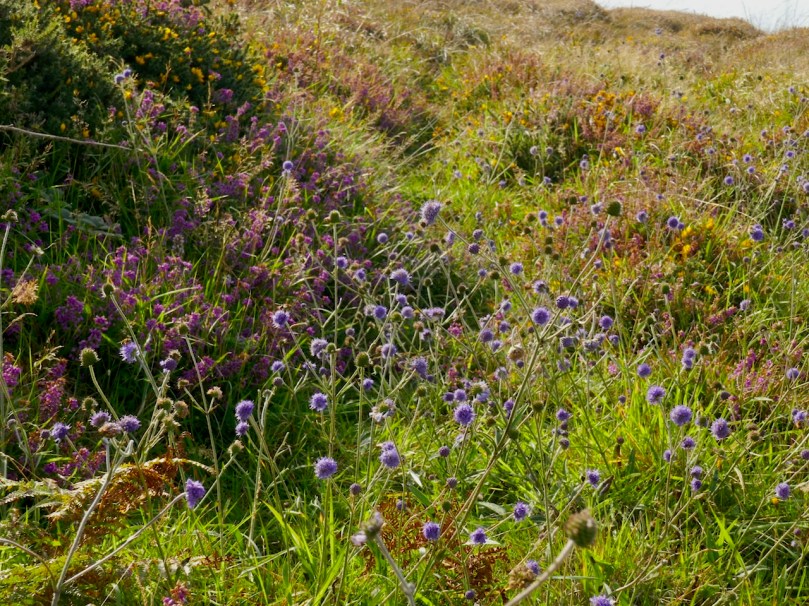
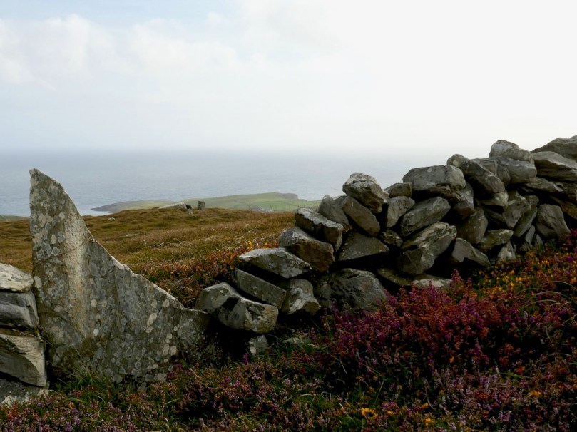
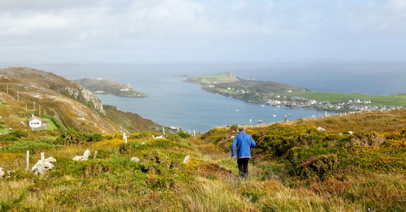
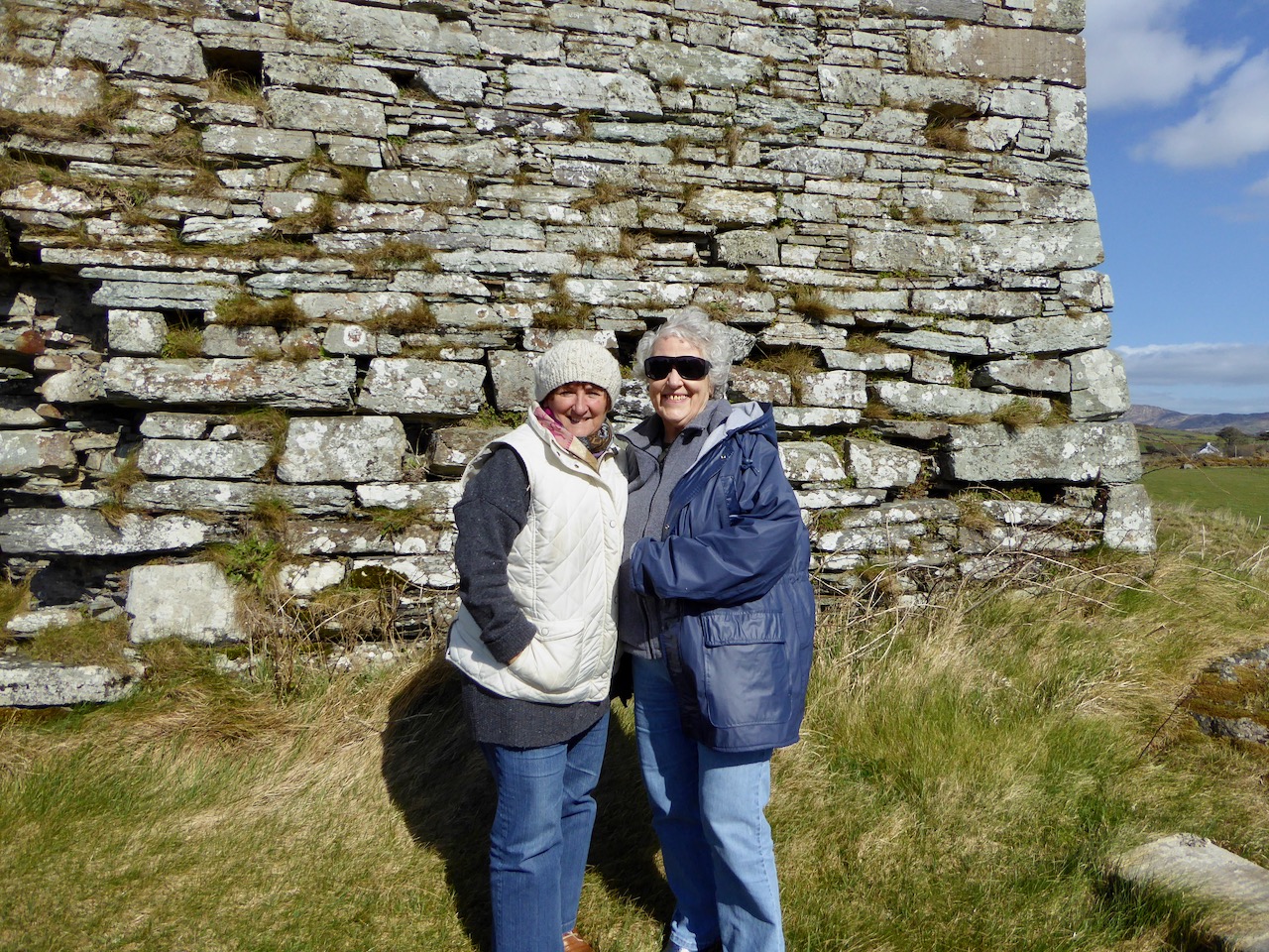
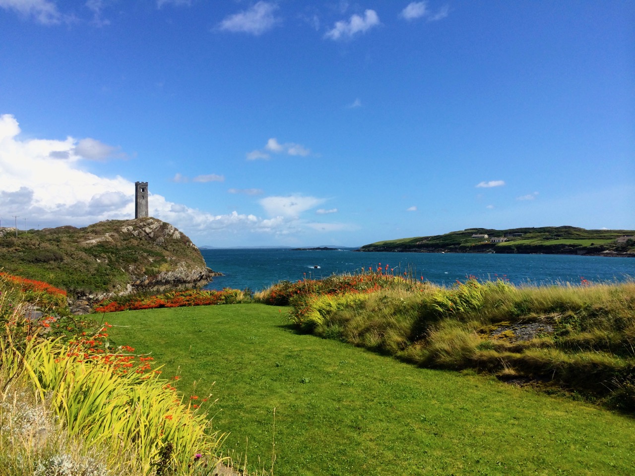
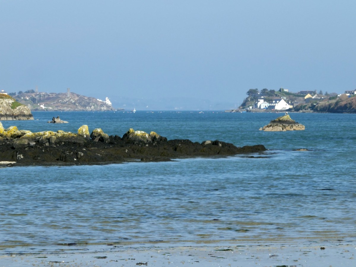
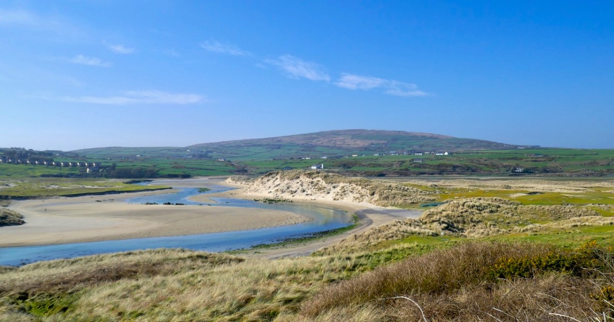
Seeking the plant involves walking slowly through the dunes with eyes always down and when I finally came up for air it was to realise that I had one of those days that often happen after extended periods of bad weather when the colours seem to spark off each other and the land and the sea provided a glorious panorama of hues and contrasts.
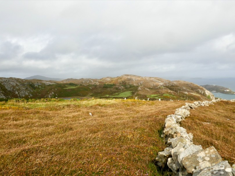
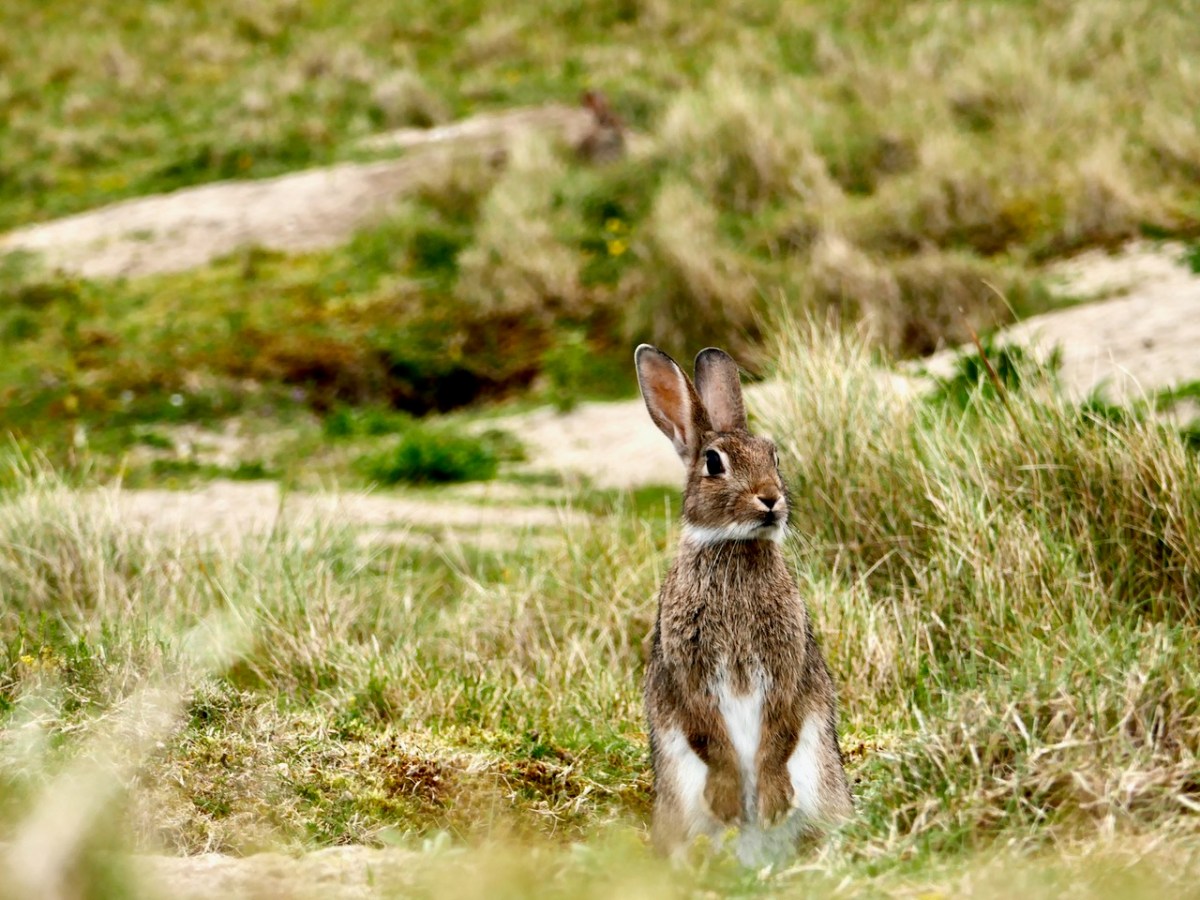
I also noticed what I think was quite an increase in rabbit activity on the area of the dunes I was traversing. Rabbits are both a blessing and a curse for dunes – see my post The Bunnies of Barley Cove for what I mean by that. The warrens can destabilise the dunes but on the positive side for my plant specifically, rabbit grazing keeps competitive grasses and coarser vegetation down, which can favour low-growing specialists that would otherwise be shaded out. Their burrowing also kicks up new patches of sand to host the Sand-grass.
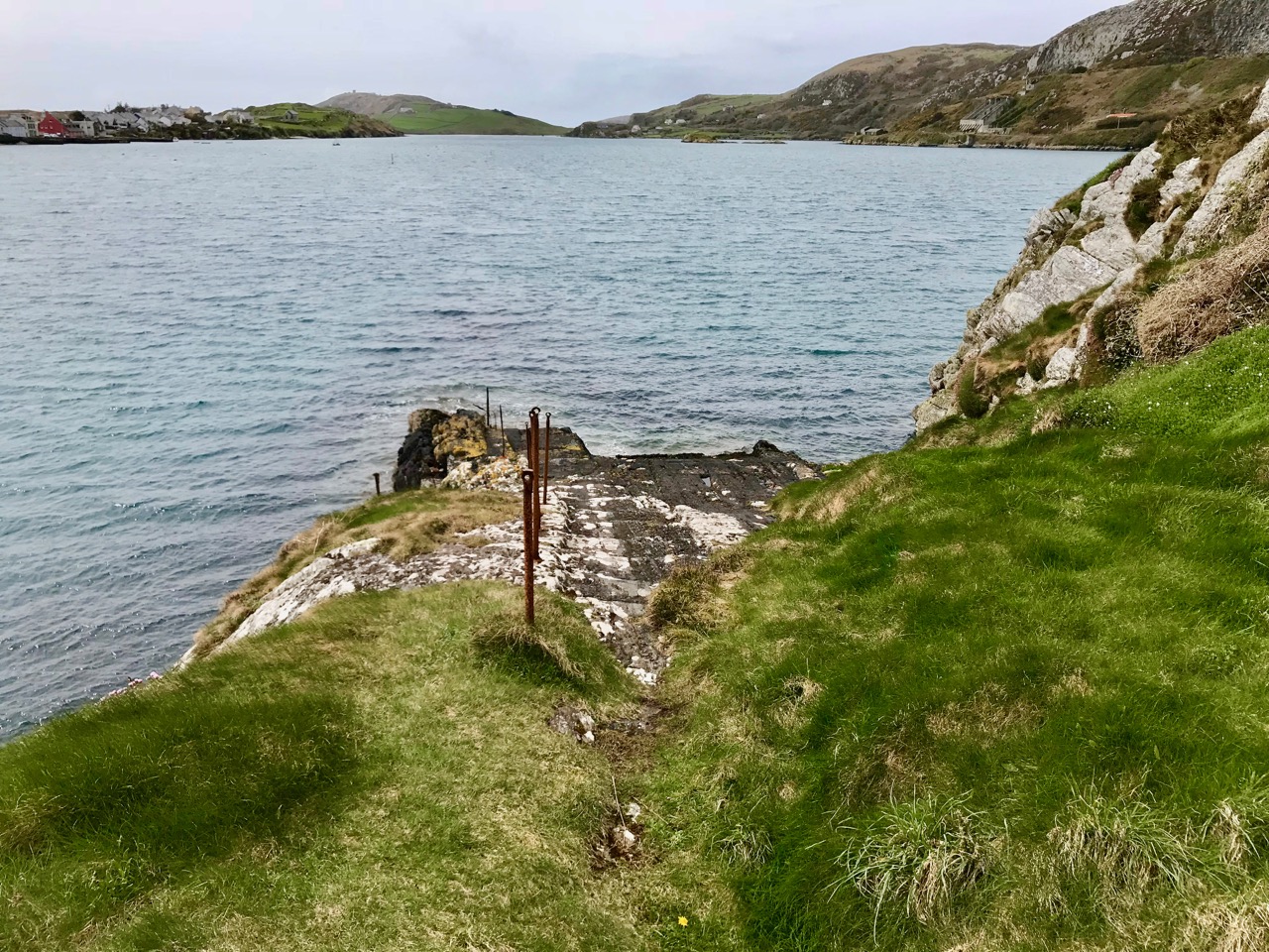
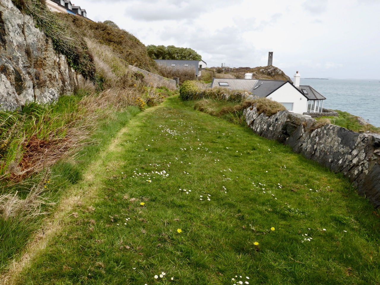
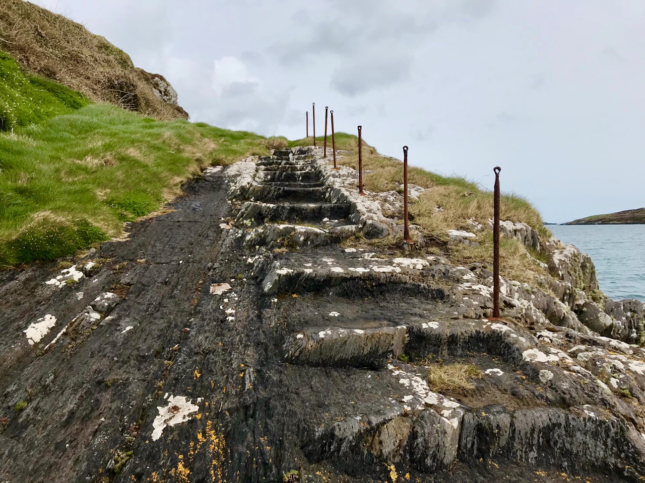
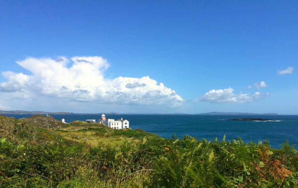
The path from the car park (I was the only car there today for a time) ends in an innovative pontoon footpath that allows access across the backchannel to the front dunes.
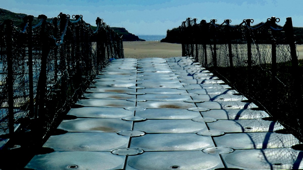
The pontoon is pulled up all winter and it hasn’t been re-set yet. There’s another way down, though, from the hotel at the far end, and it was good to see a couple enjoying the sensation that only walking on a beach barefoot provides.
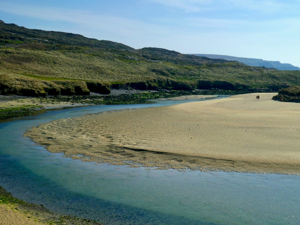
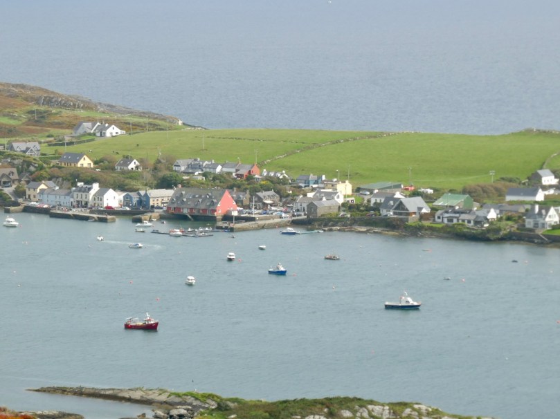
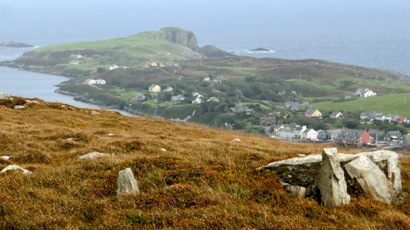
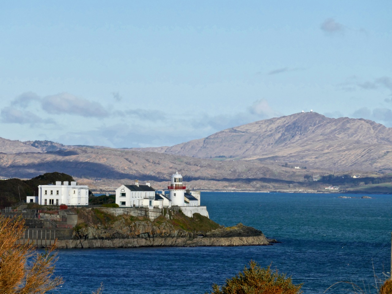
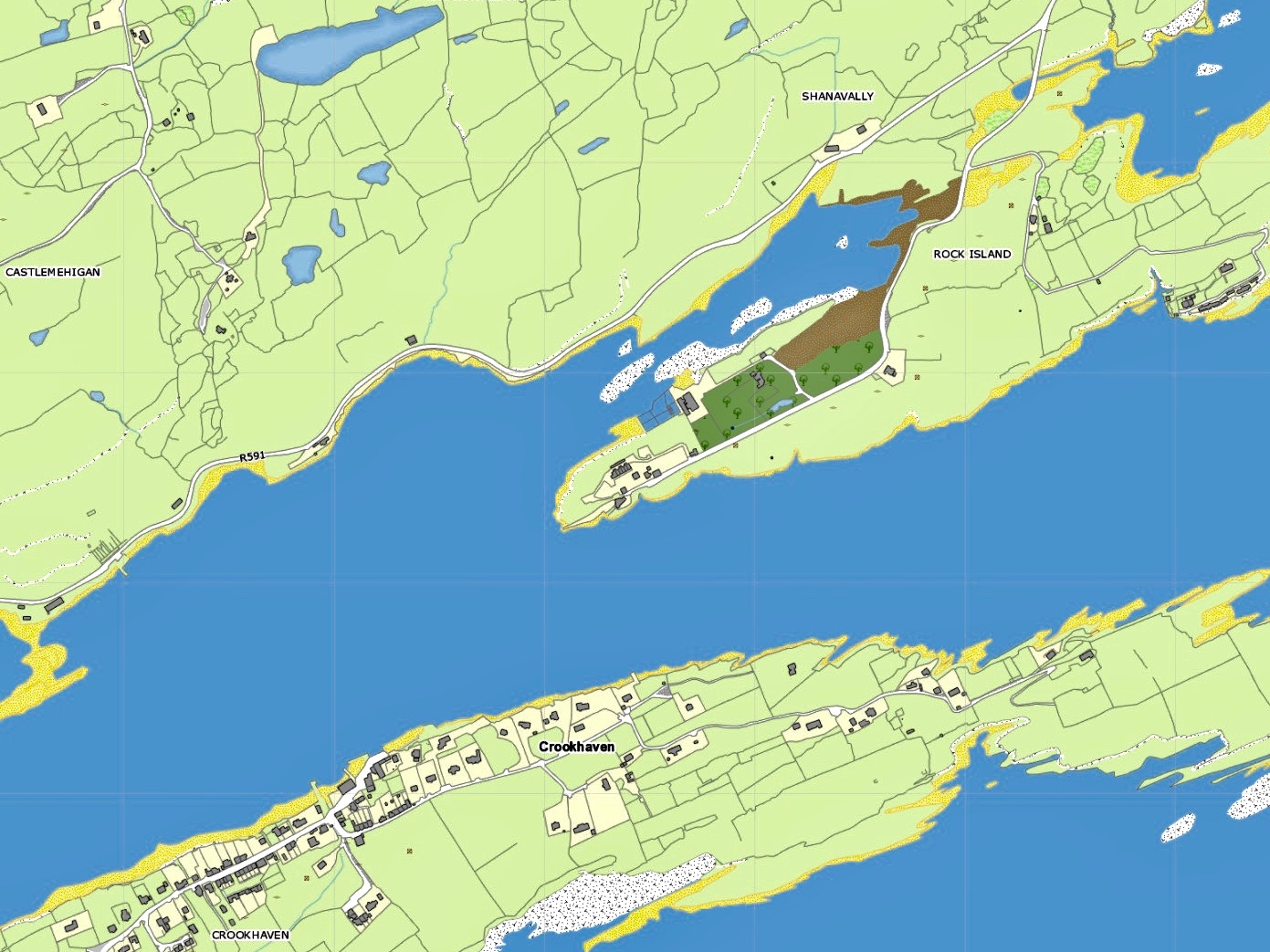
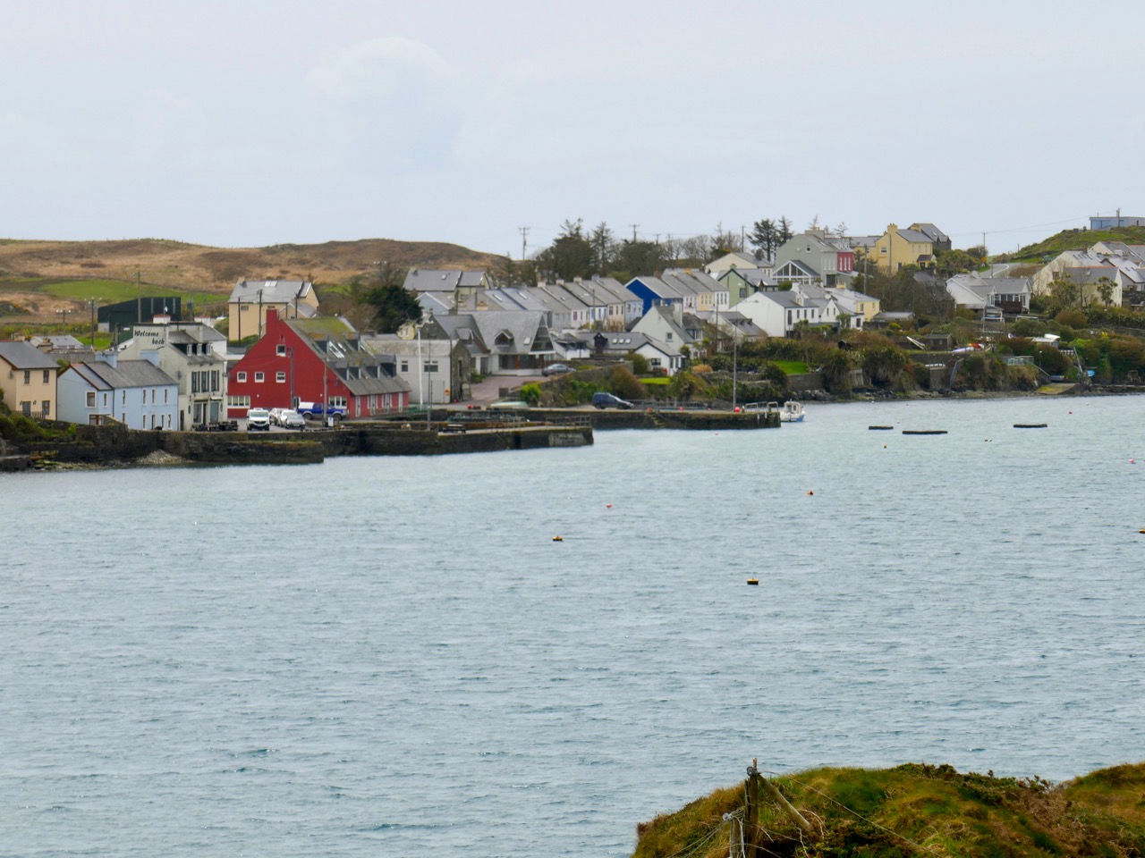
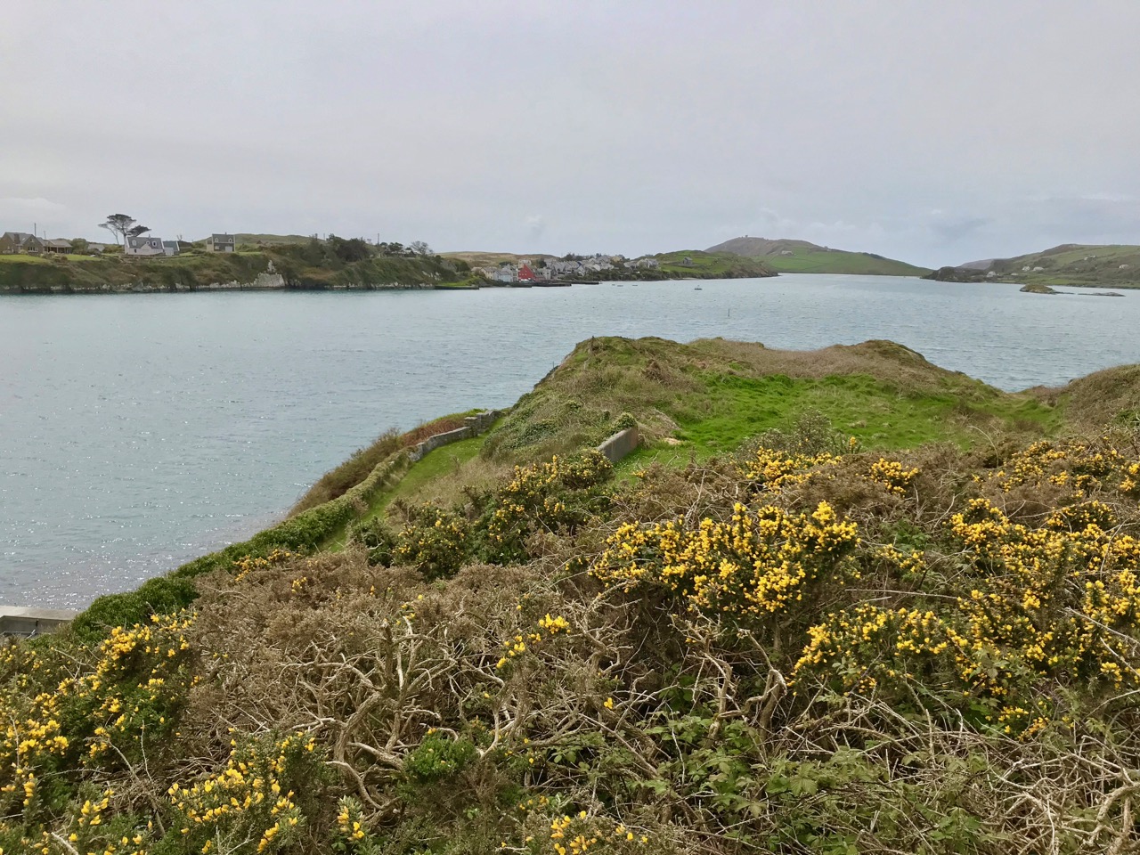
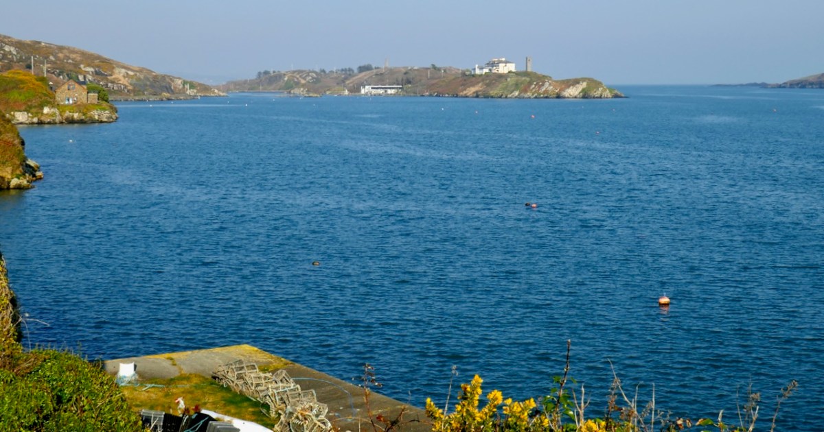
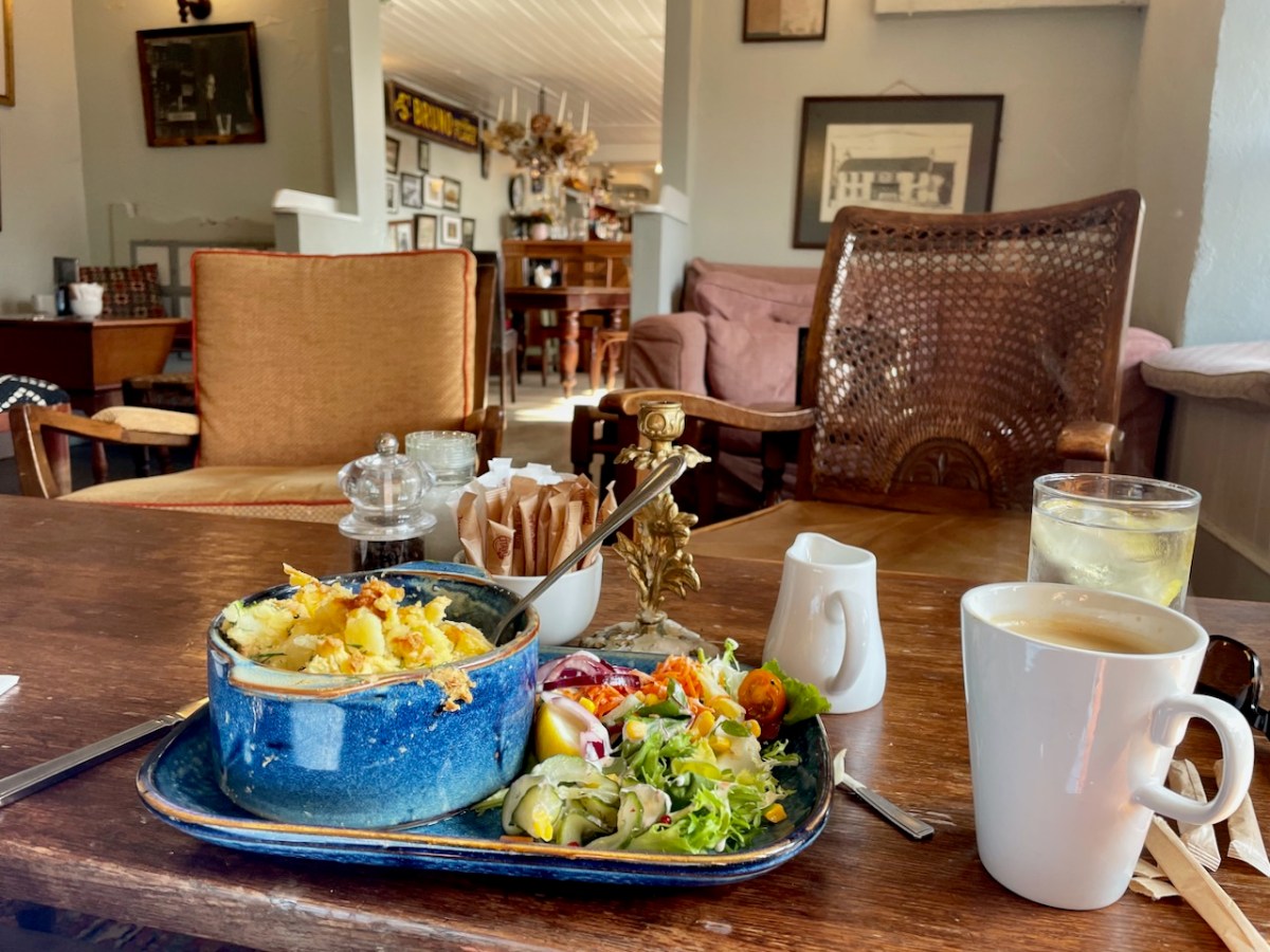
Having finished my count, I drove around then to Crookhaven and since it was lunchtime of course I had to stop at the iconic O’Sullivans pub, currently undergoing renovations and operating out of Nottage’s. (Fish pie to die for and a large americano, if you must know.)
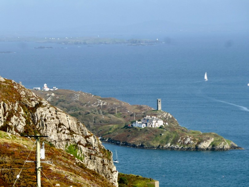
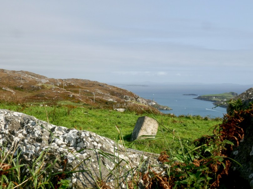
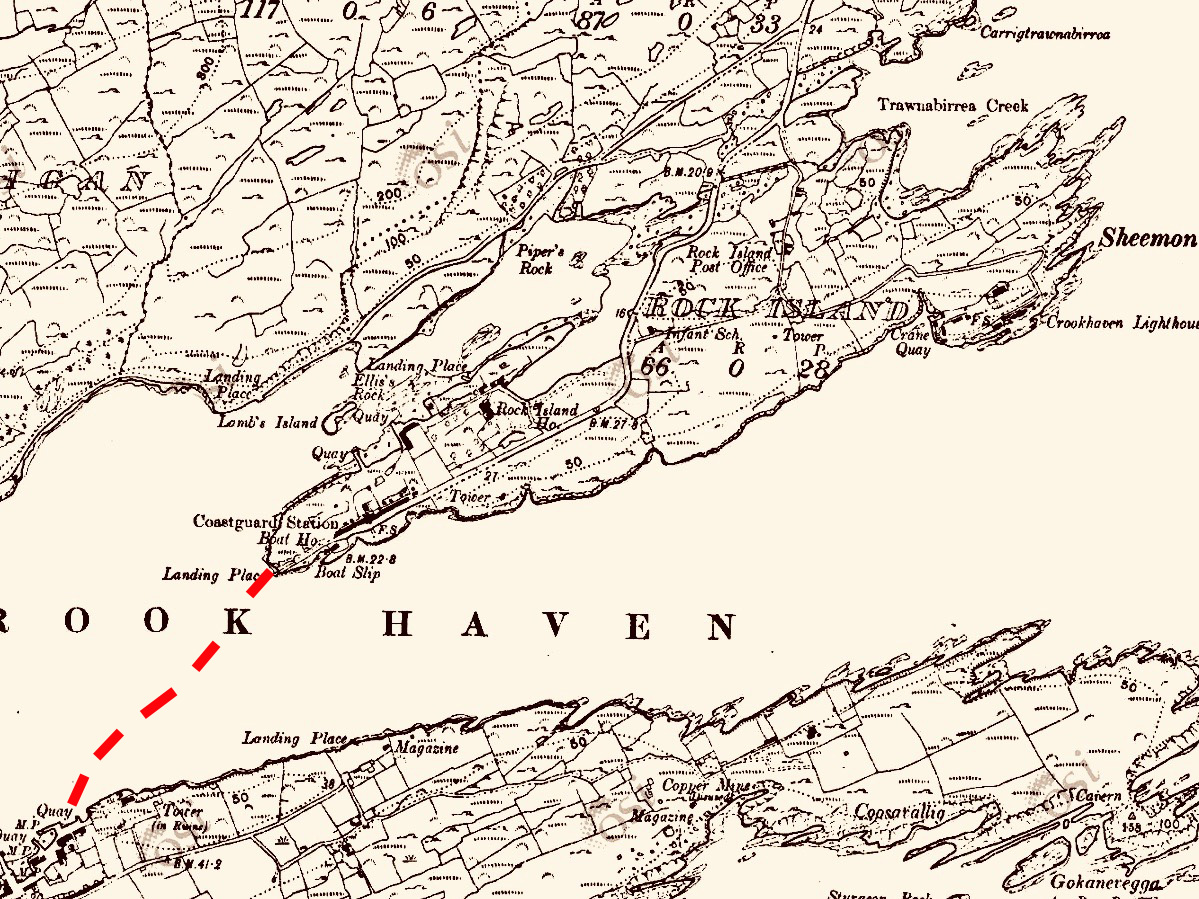
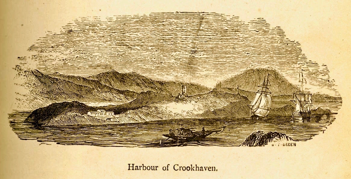
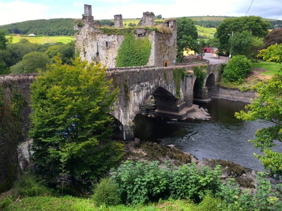
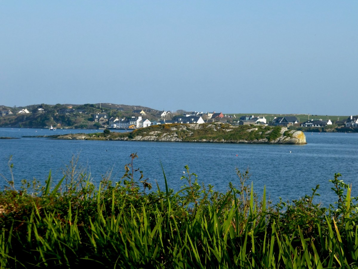
Surely this is one of the most scenic villages in Ireland. Hard to believe that it was once so busy that it was said you could walk across the harbour from ship to ship.
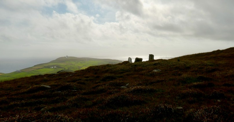
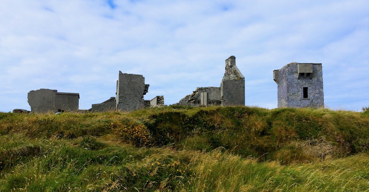
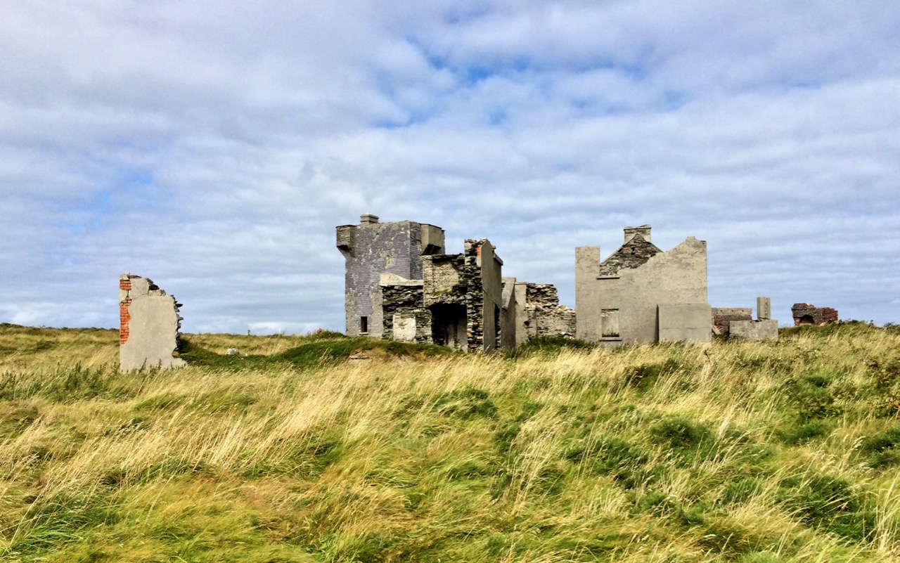
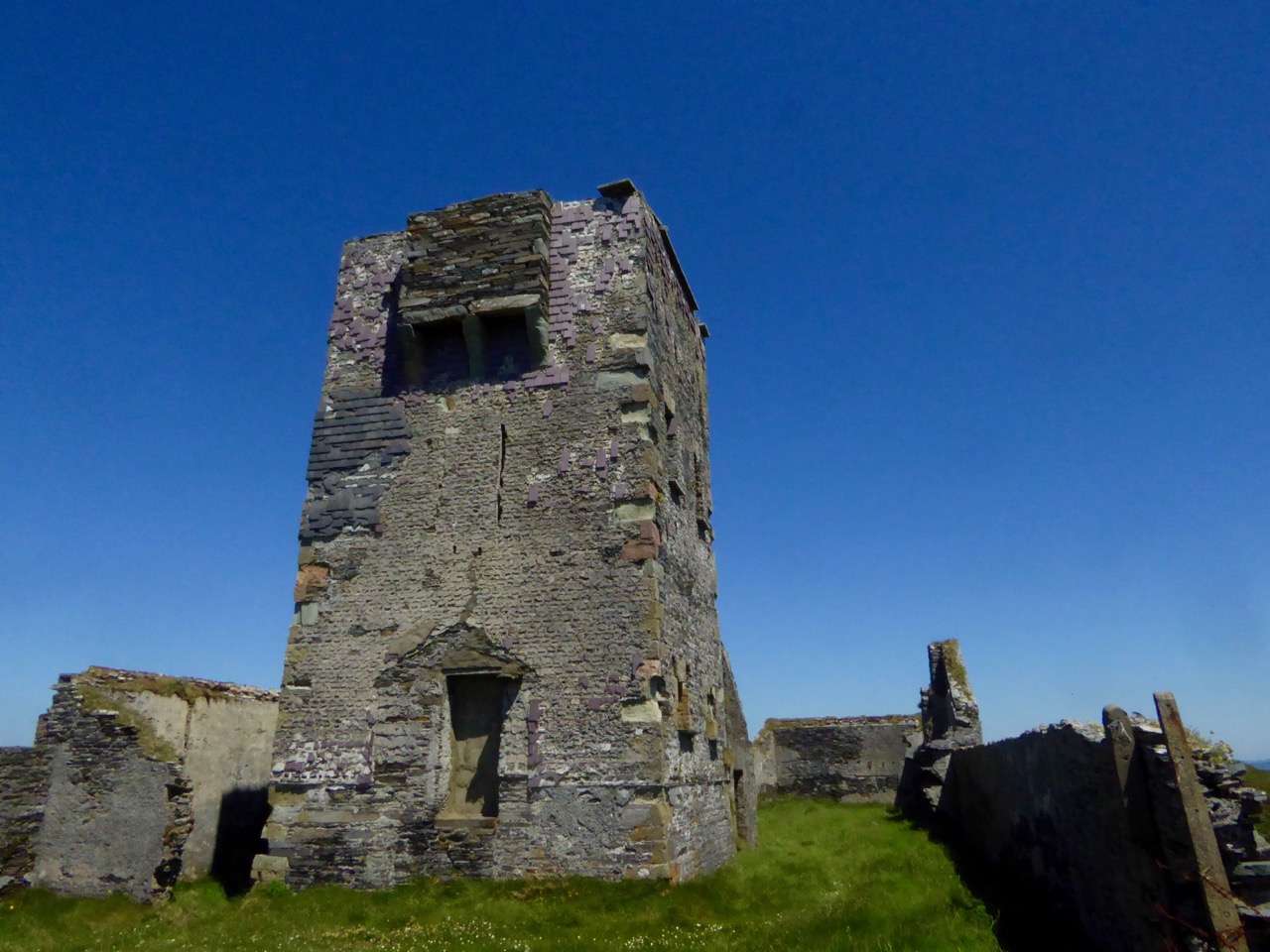
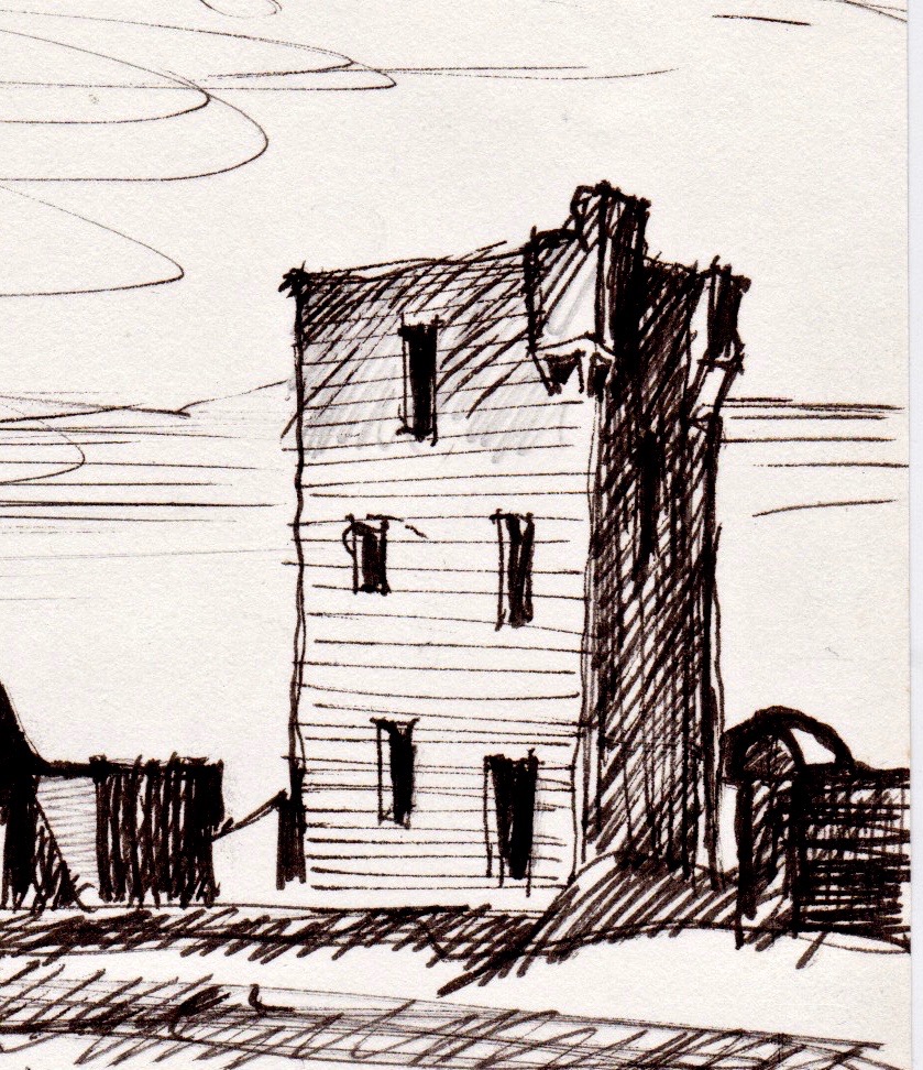
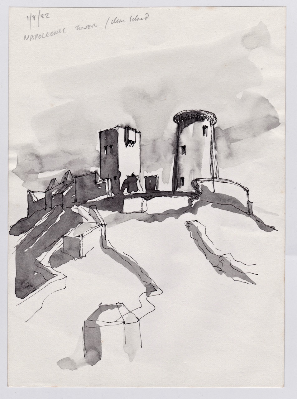
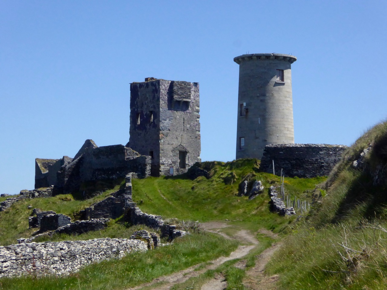
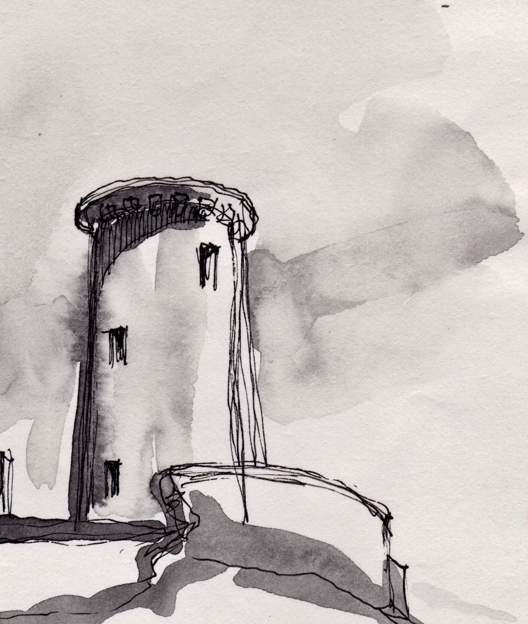
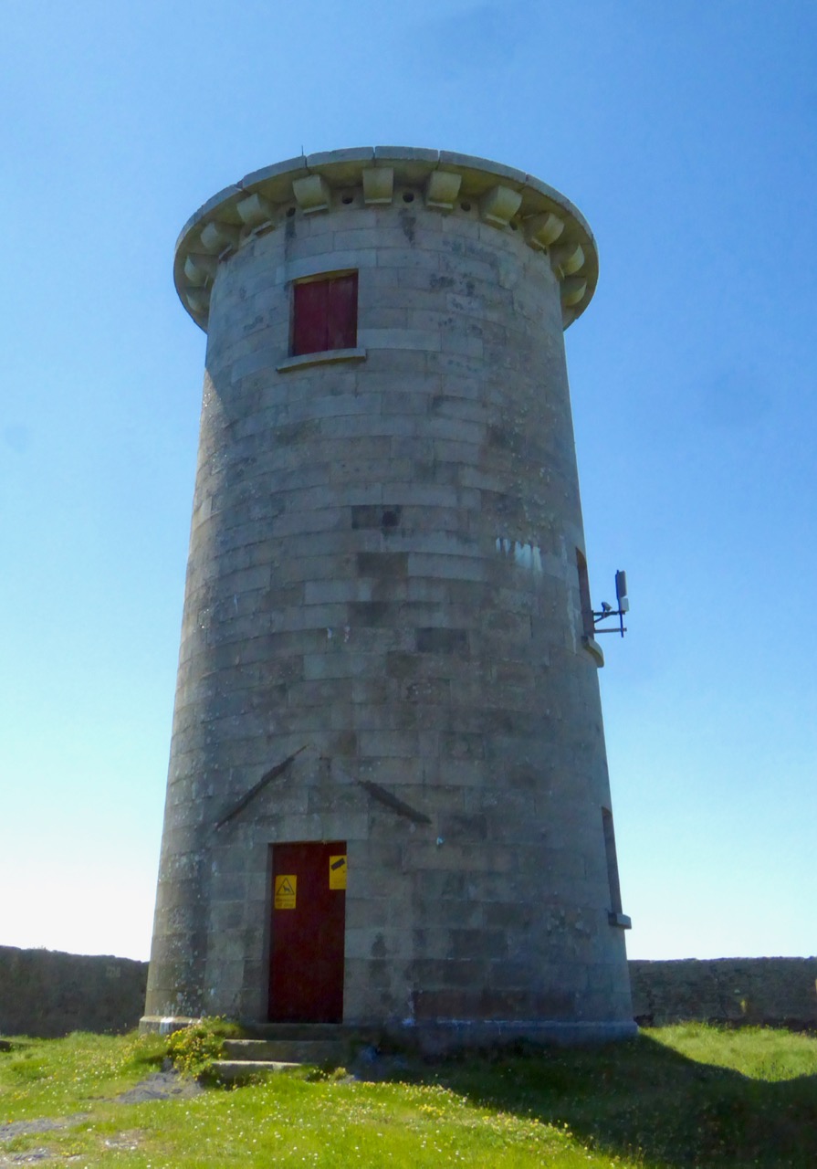
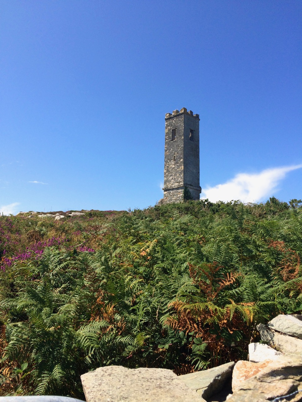
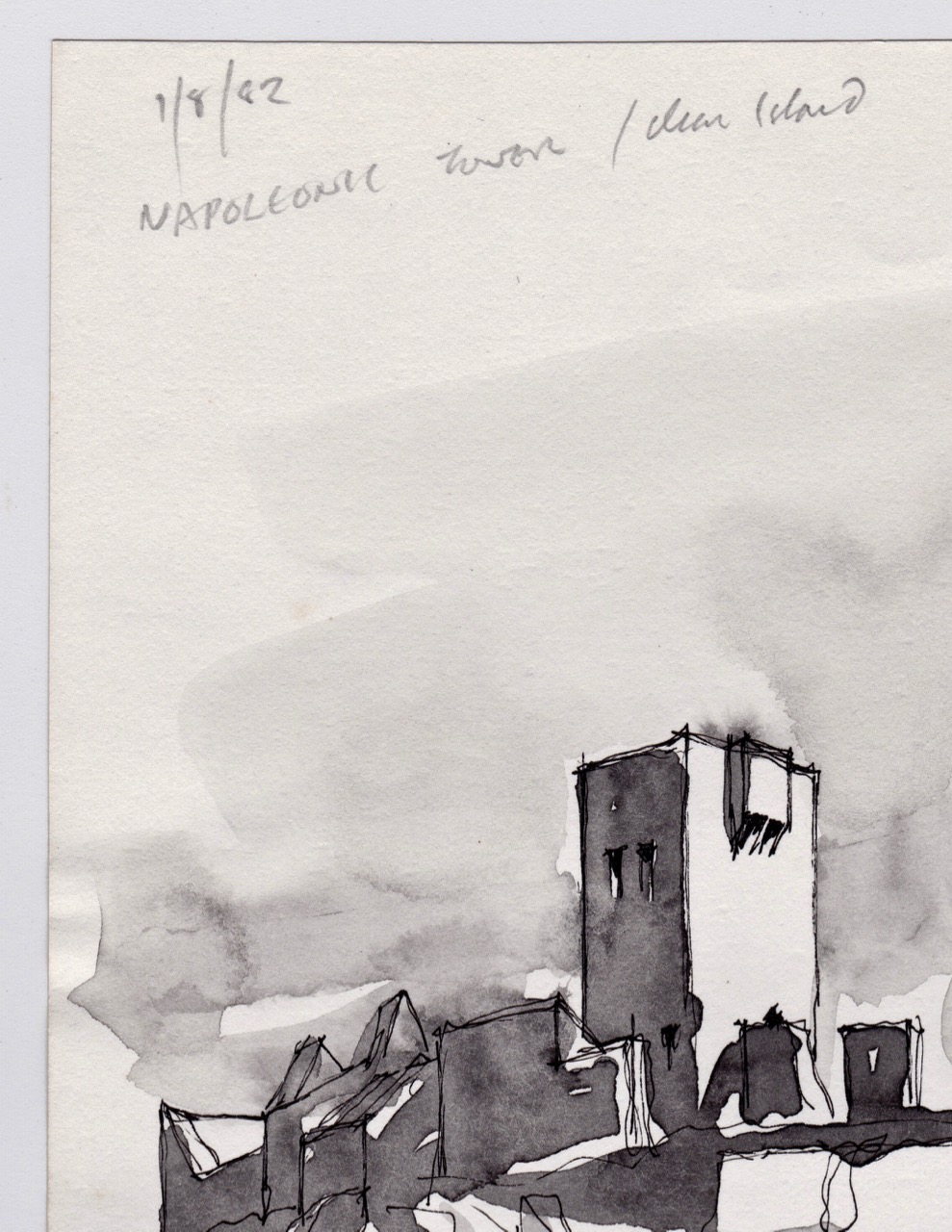
The two tall skinny towers on Rock Island are testament to that – this was where pilots could get a good view out to sea so they could send their boats out to guide ships safely into harbour. They may also have been used, according to one authority, for reporting ship movements to Lloyd’s of London for insurance purposes.
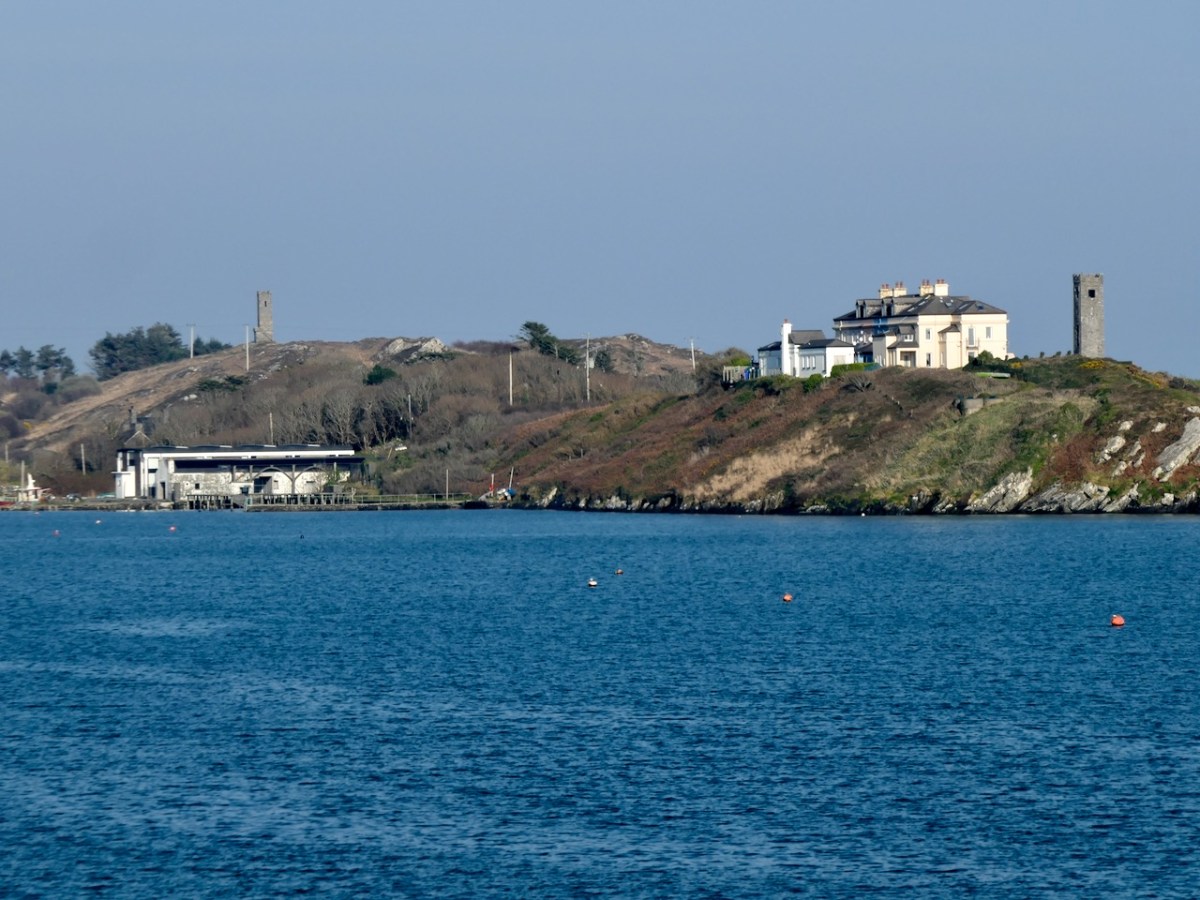
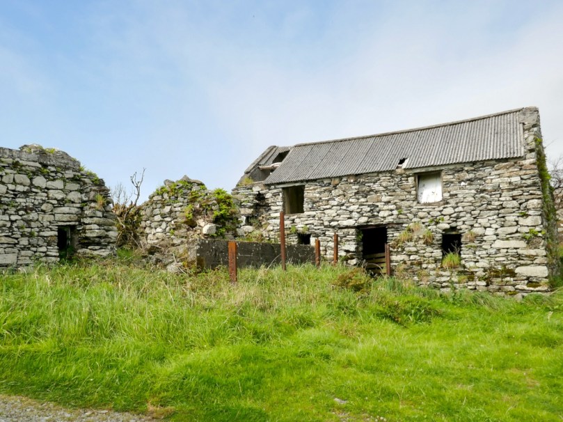
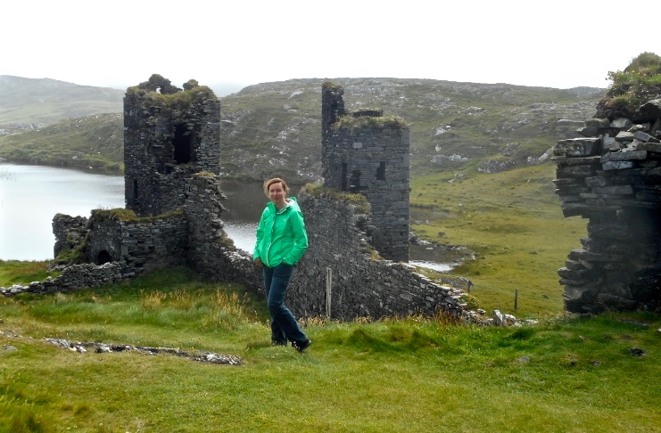
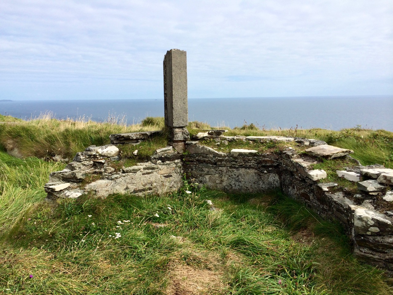
Rock Island is as full of history as Crookhaven – way back in 2018 we spent a day with Aidan Power getting the expert account of this tiny island where once over a hundred people lived and worked. It deserves another post one of these days.
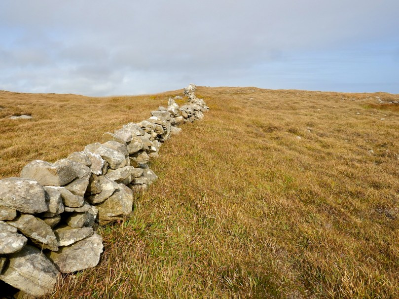
I admit this post is a bit ‘light’ today – nothing much happened, I wandered around, took photographs, and enjoyed this wonderful part of the world. It’s what Robert always called a “then we went home for tea” type of post. But my last few posts have been pretty dense, so I hope you all forgive this dalliance with triviality.
* By Jan Kops – www.BioLib.de, Public Domain