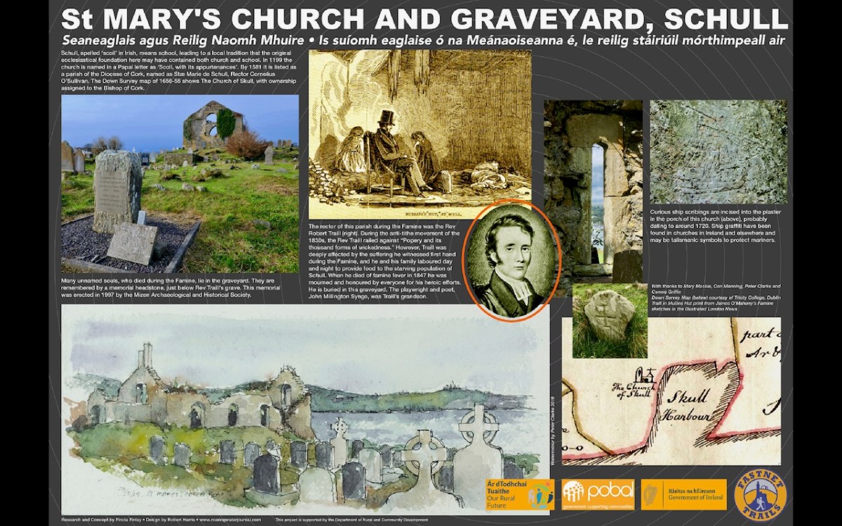
Every now and then I like to re-post one of our older pieces and this one qualifies – most of it is from 2014! Robert and I have walked the Butter Road many times since, so I am updating the post with newer photographs. The Butter Road is a mostly green road, and there aren’t a lot of those around, so that makes it a special experience.
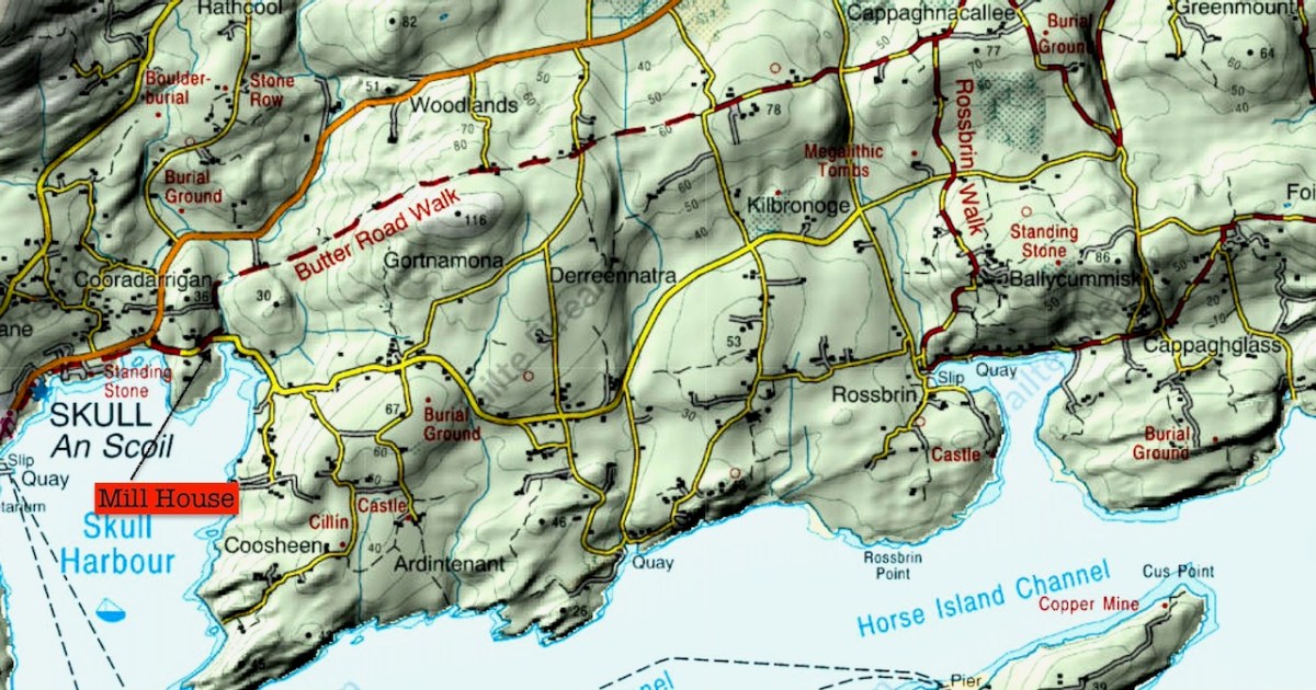
The Fastnet Trails have a snazzy website, which didn’t exist in 2014 – it will give you all the information you need and show you where to start. However, note that this route is designed as a ten km linear walk, ending in Ballydehob. We have never done it that way, preferring to walk to the end of the green stretch and back again, or come back along one of the parallel roads clearly marked on this map. You can start just outside Schull, at the Mill.
The rest of this post is a lightly edited version of our 2014 post, with some newer photographs.
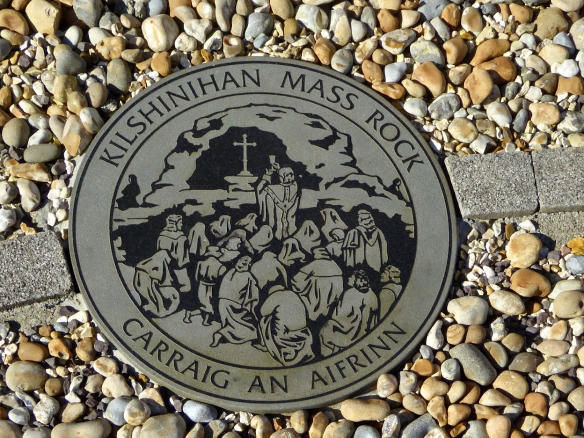
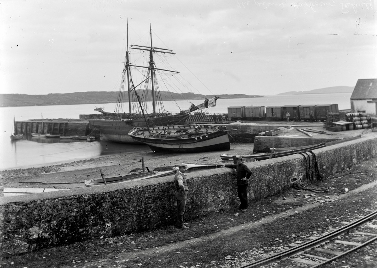
For most of its history, roads were a hit-and-miss affair in Ireland. We didn’t get the great Roman road builders, and anyway, it was easier to get around on the water. Some routeways led to Dublin or Tara in the early medieval period, but a real road system didn’t develop until the 18th Century with the building of turnpike highways between major cities. In the 18th Century, Cork became the largest centre for the butter trade in the world and needed transportation corridors to ensure butter could get from remote rural areas to the Butter Exchange (now a museum) in the city. The Butter Roads were built from the 1740s on, and provided an efficient and speedy (for the time) route to market. Butter was packed in firkins (40 litre barrels), stacked onto carts, and transported from West Cork and Kerry to Cork City to be loaded onto ships for Australia and America.
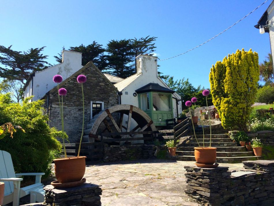
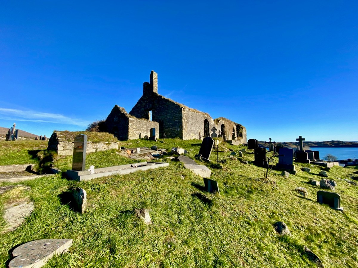
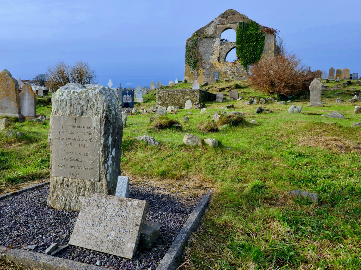
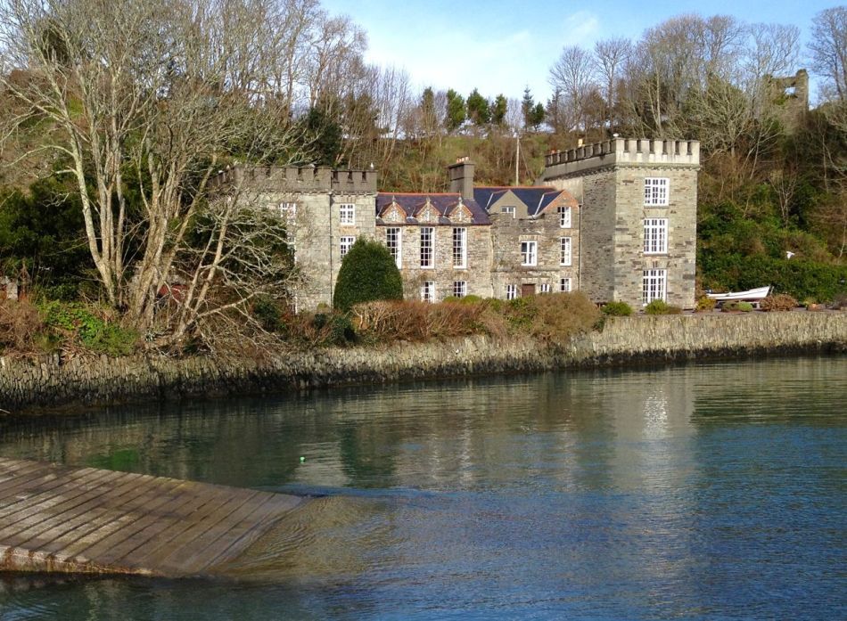
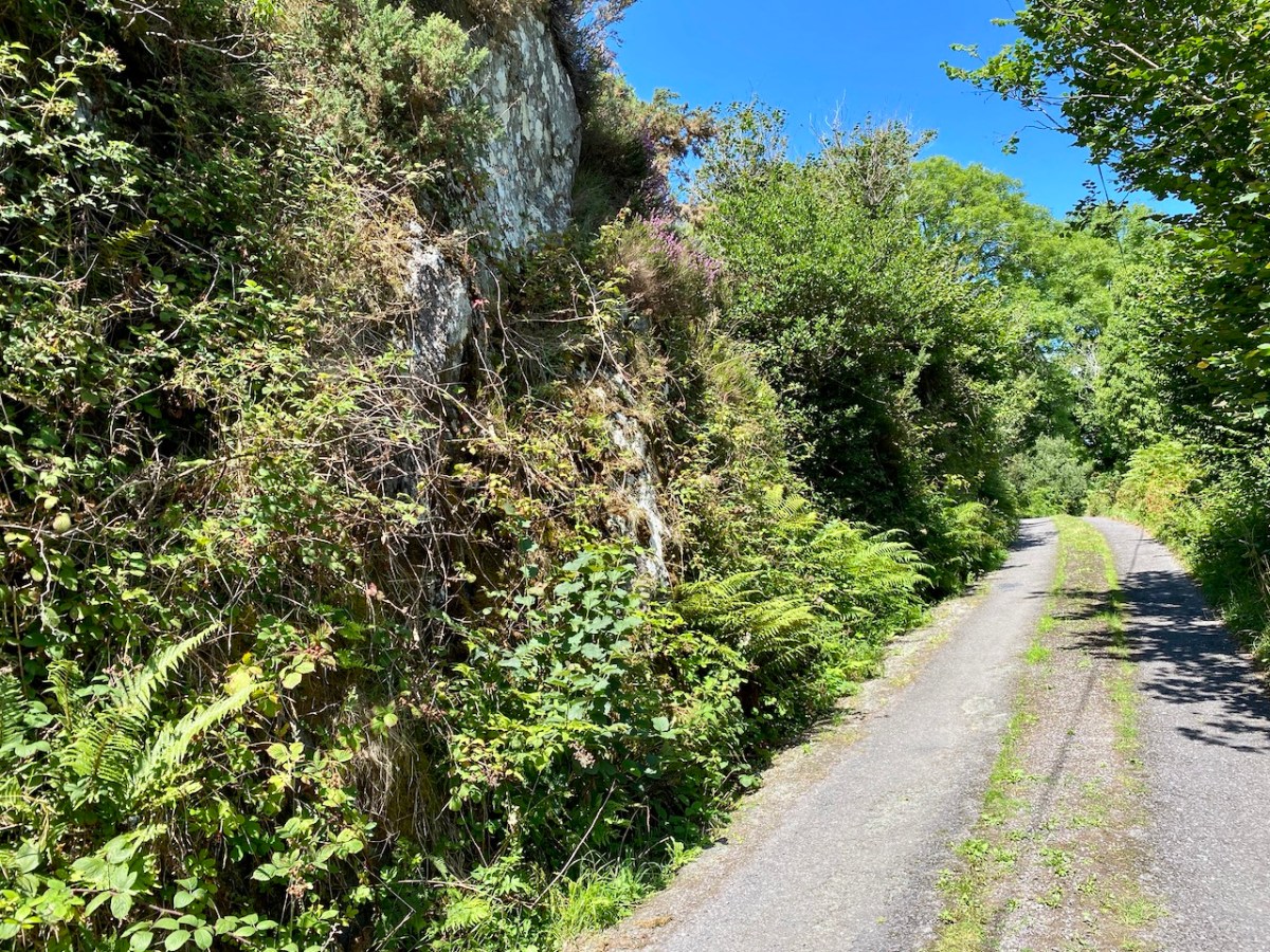
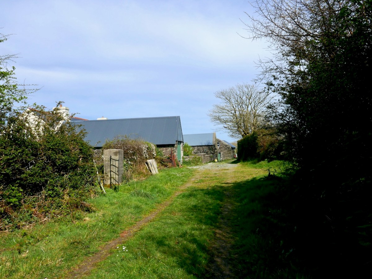
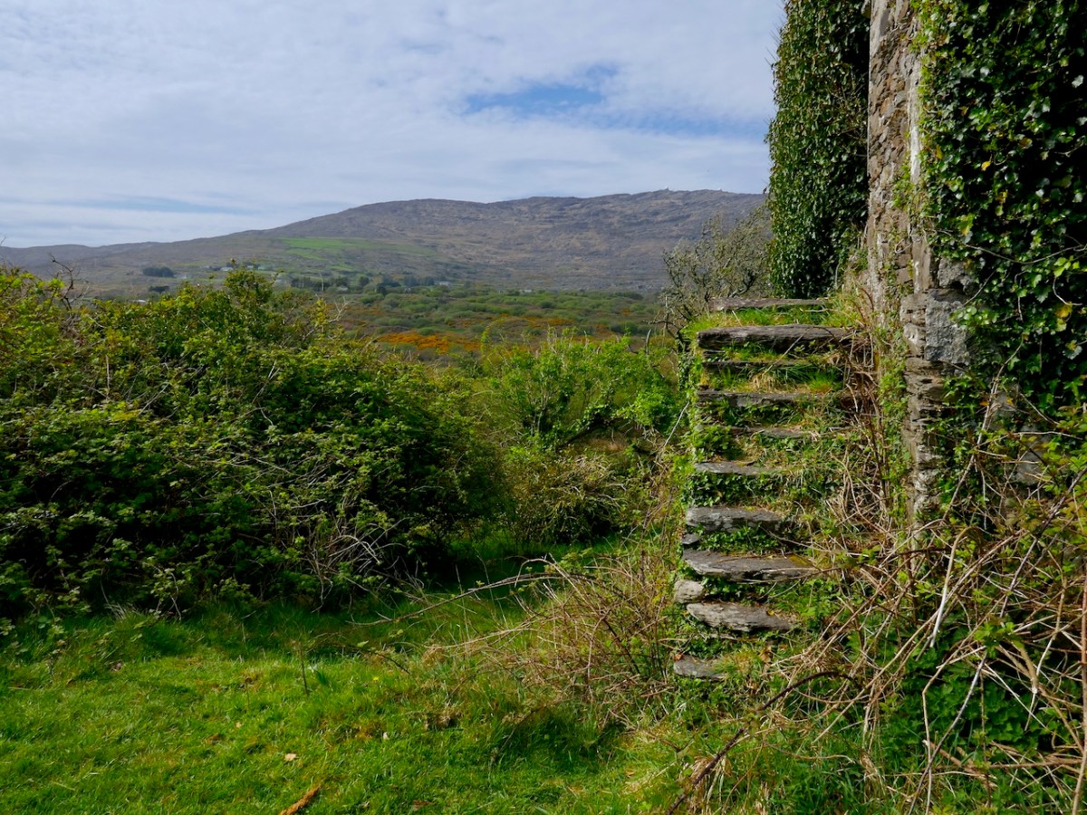
Here and there, traces of the old butter roads remain. One stretch runs between Ballydehob and Schull and in the last few years a project to open it as a walking route has been spearheaded by students of the Schull Community College. It starts at the Old Mill, now open as a gallery by our friend, the esteemed wildlife photographer, Sheena Jolley. Sheena has enhanced the mill stream and stabilised the workings, still intact in her basement. If it’s open, a visit to her gallery is a great way to start or end your walk.
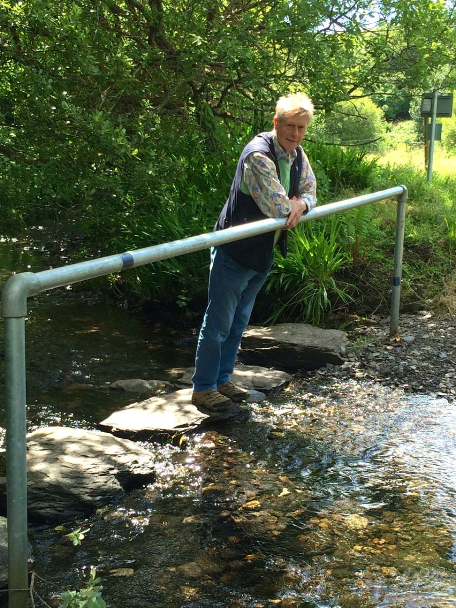
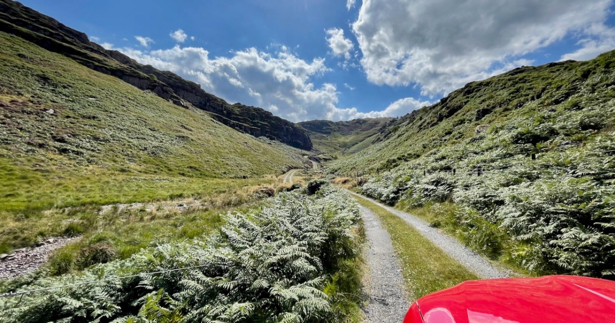
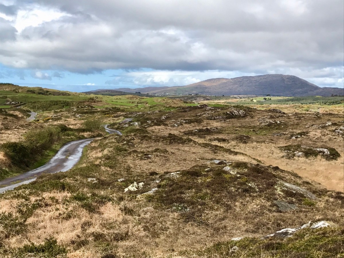
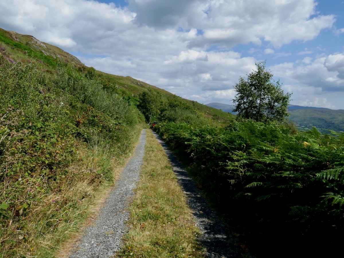
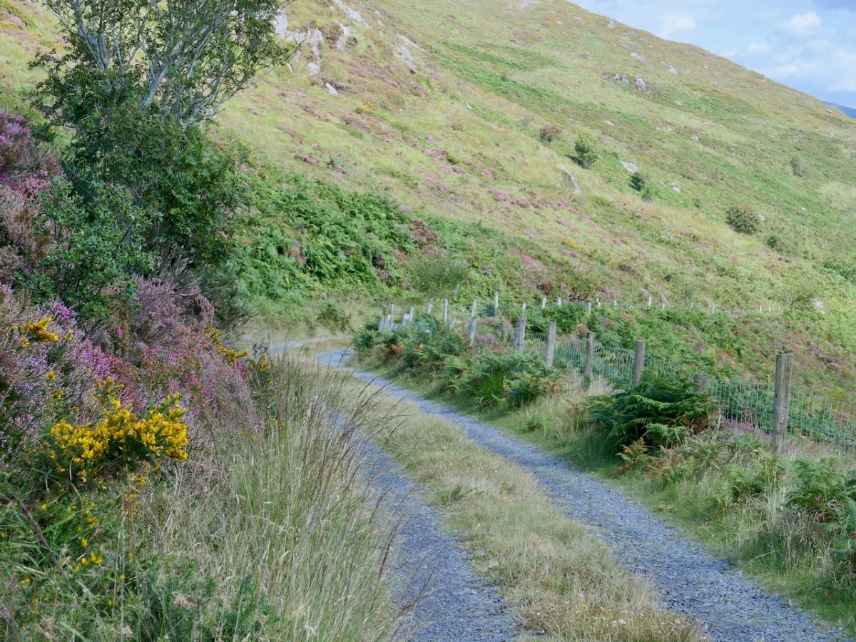
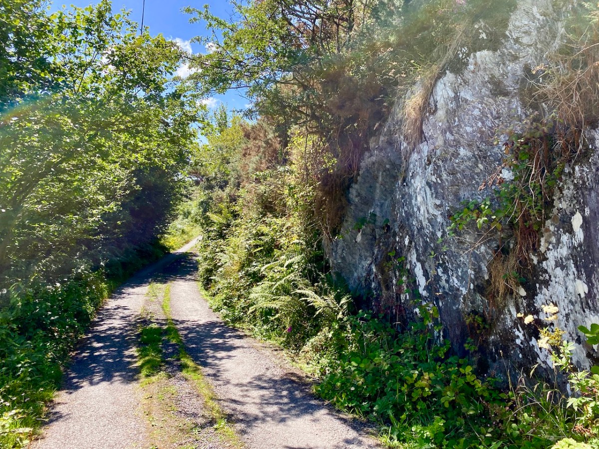
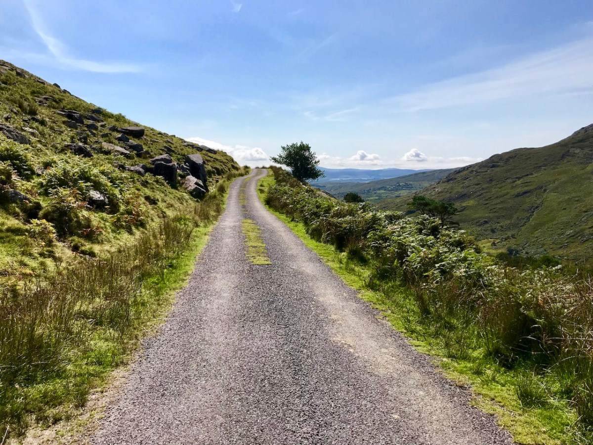
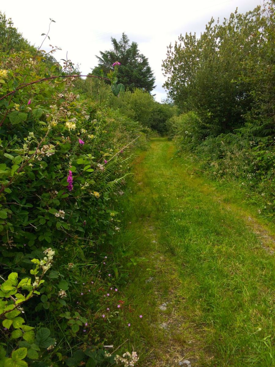
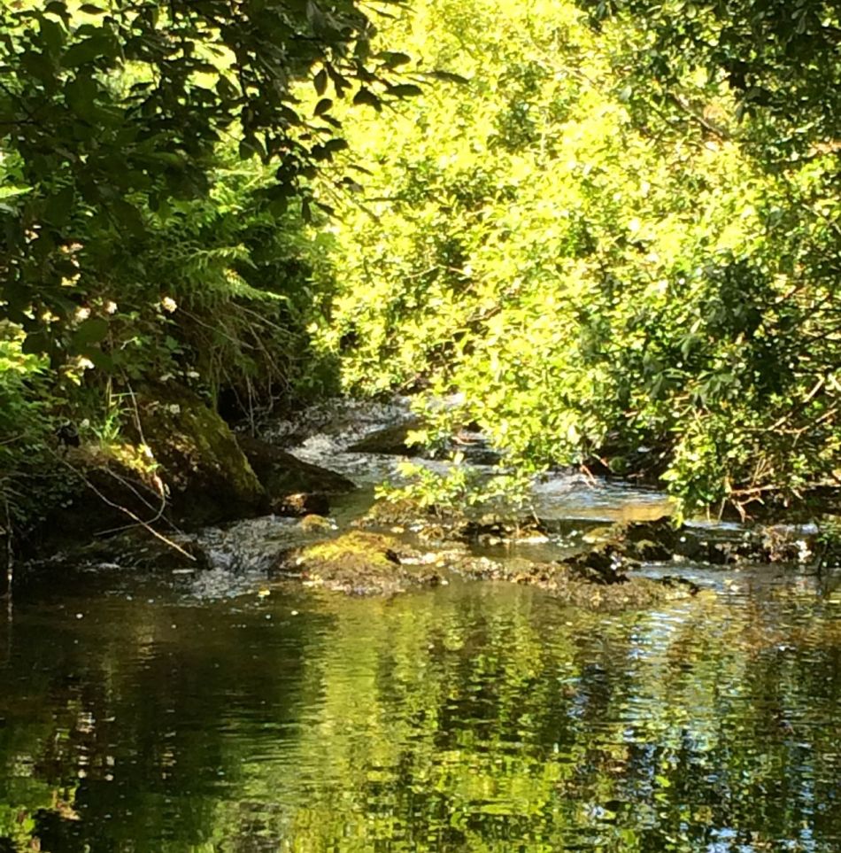
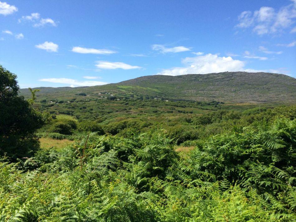
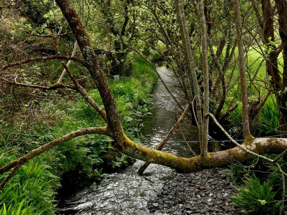
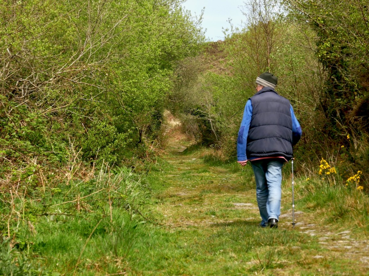
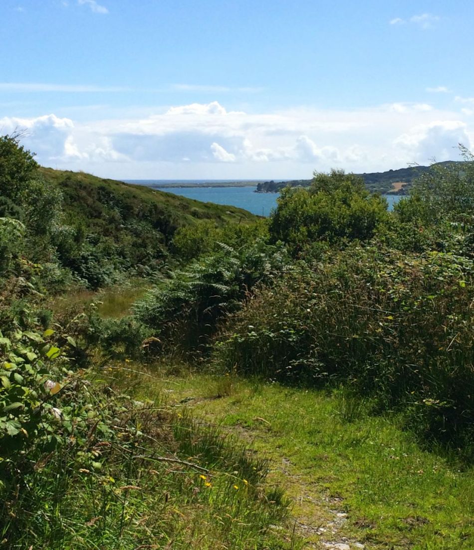
Setting out from the mill we were immediately on the old green road, soft underfoot, running between hedgerows alive with wildflowers, winding gently uphill. A plaque tells the story of the butter roads and of the current project. Gurgling and murmuring, the mill stream is on your right until you come to cross it. This is accomplished on stepping stones where we found it impossible not to linger and contemplate the gentle water.
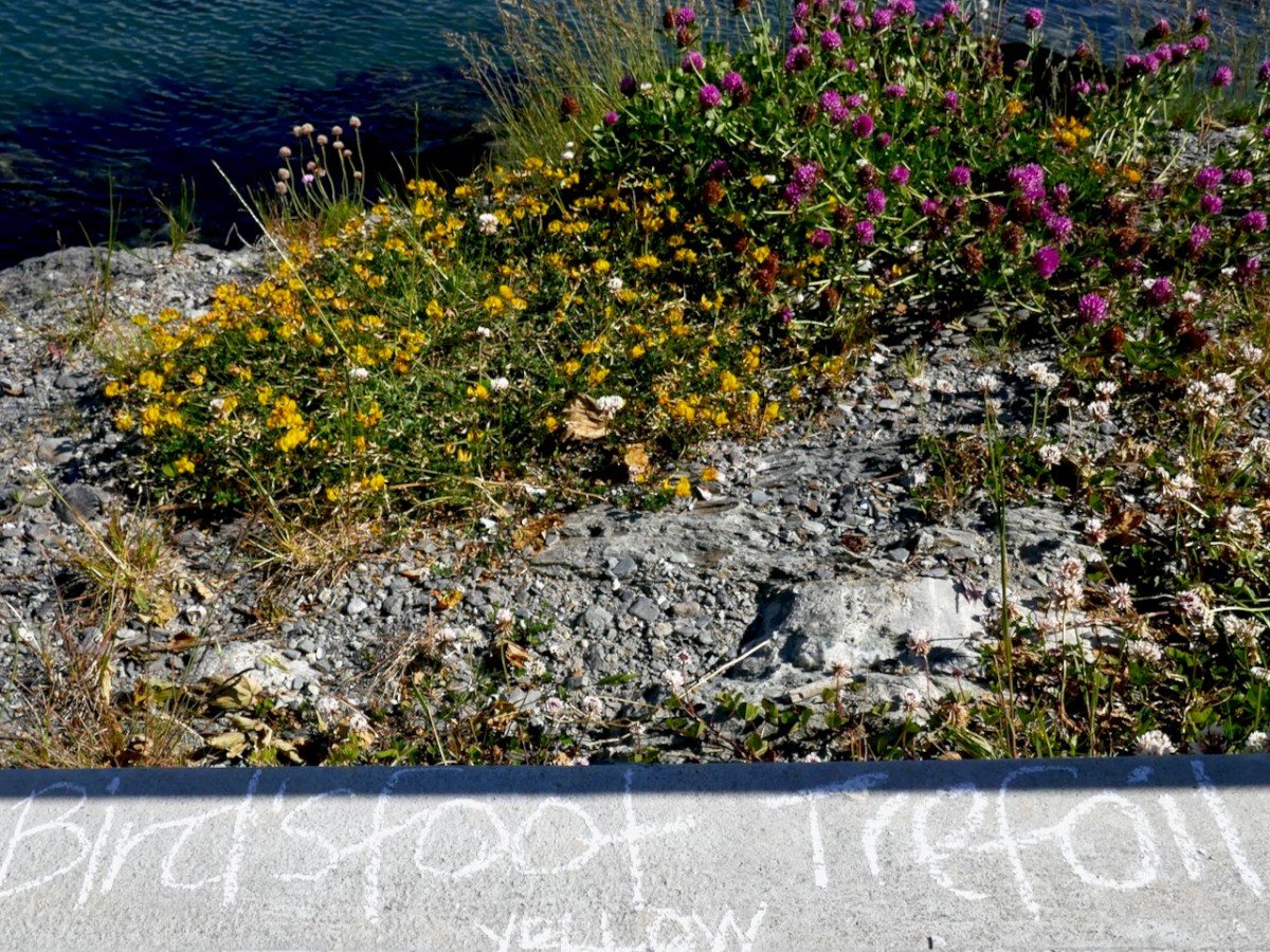
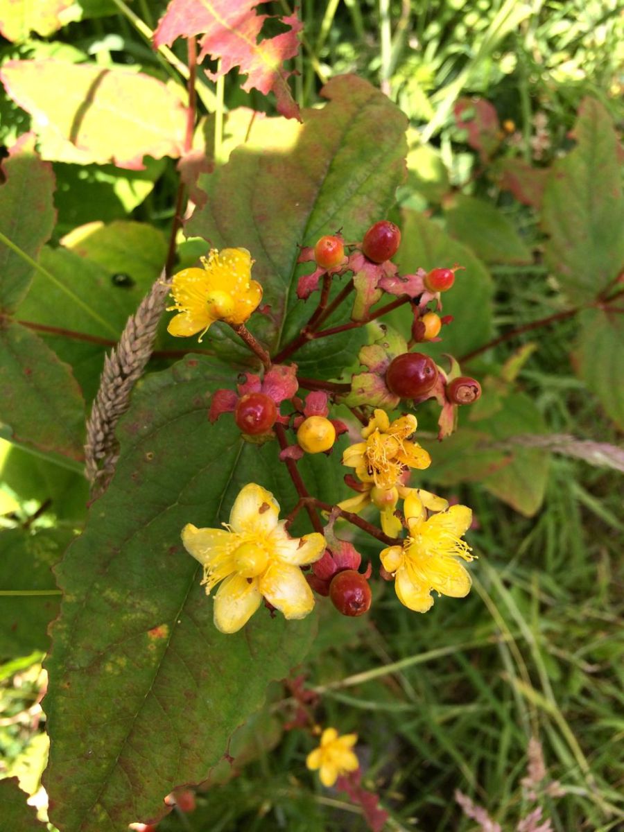
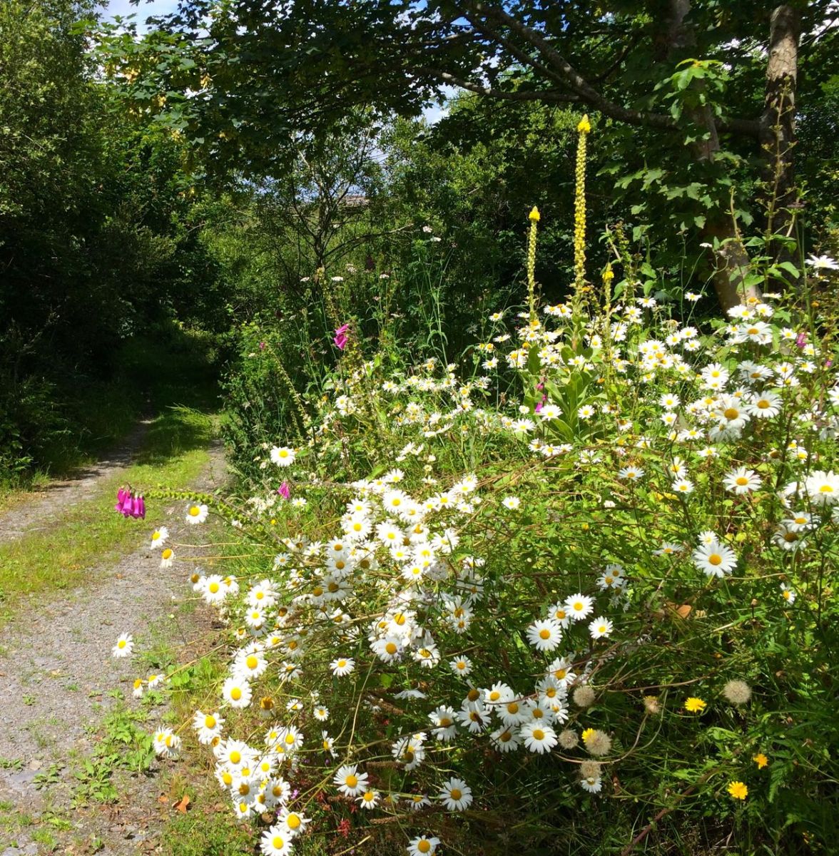
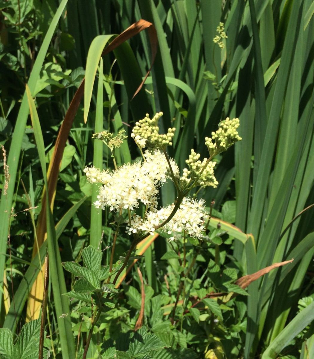
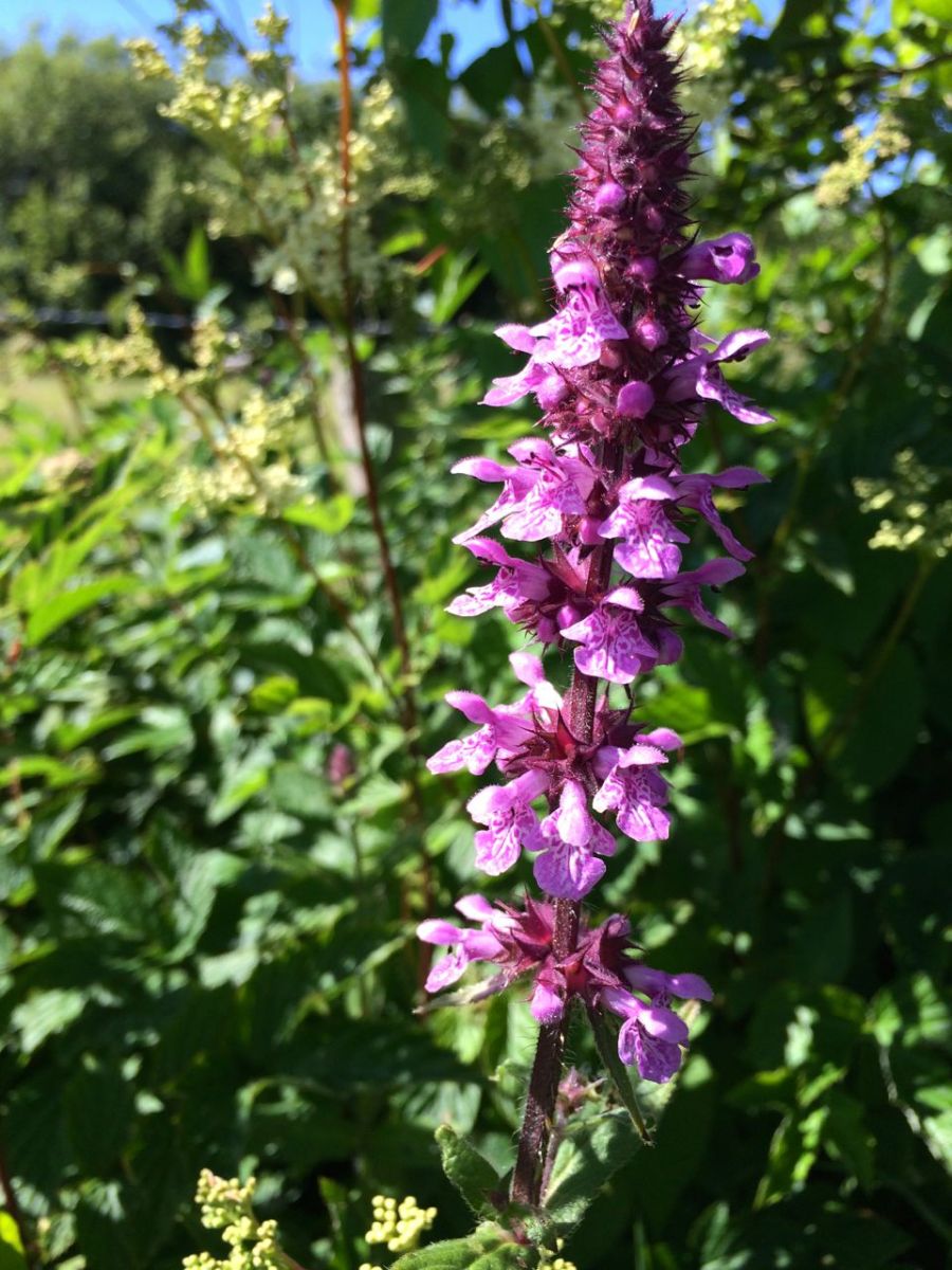
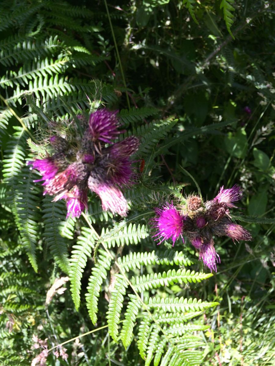
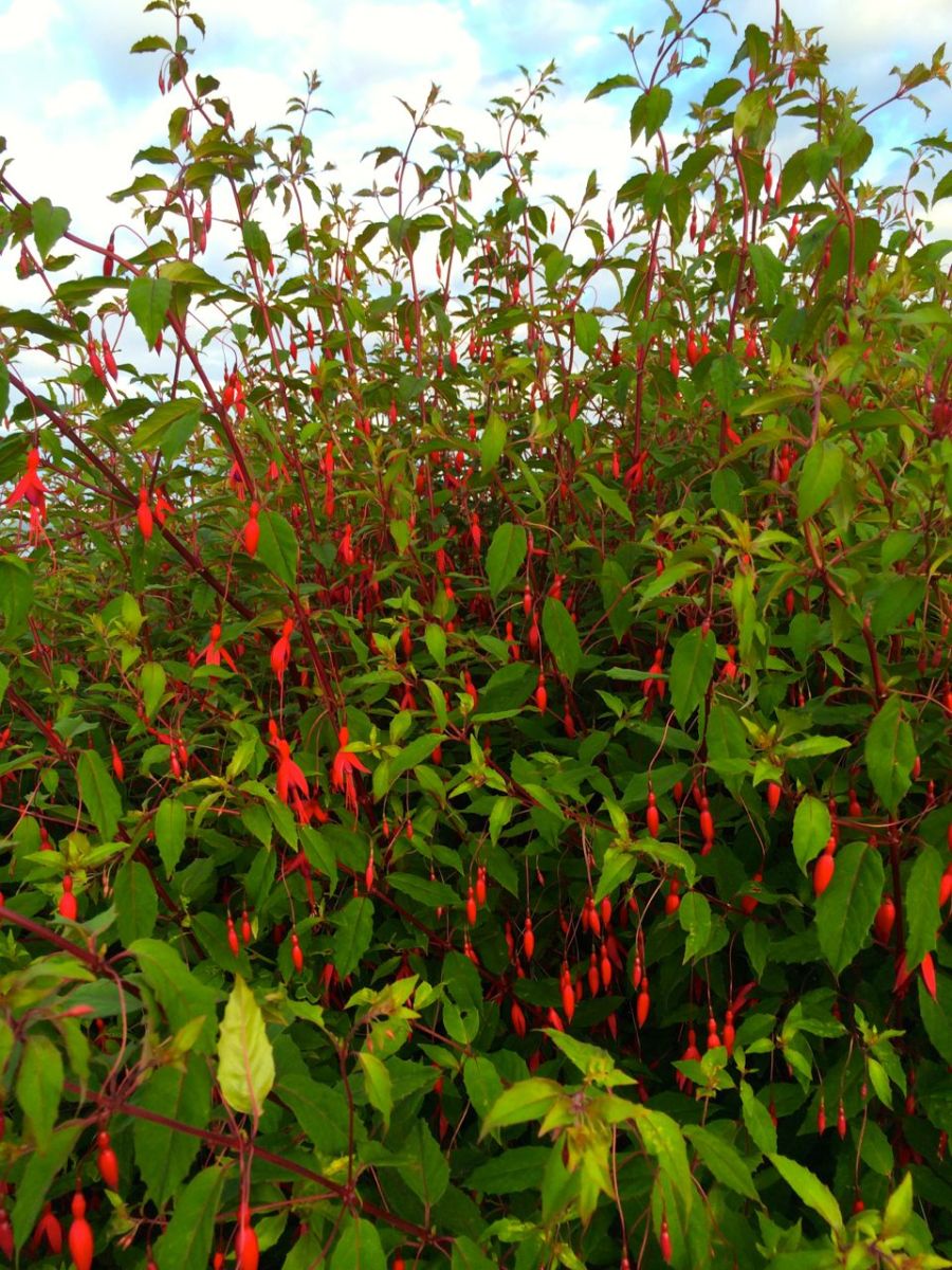
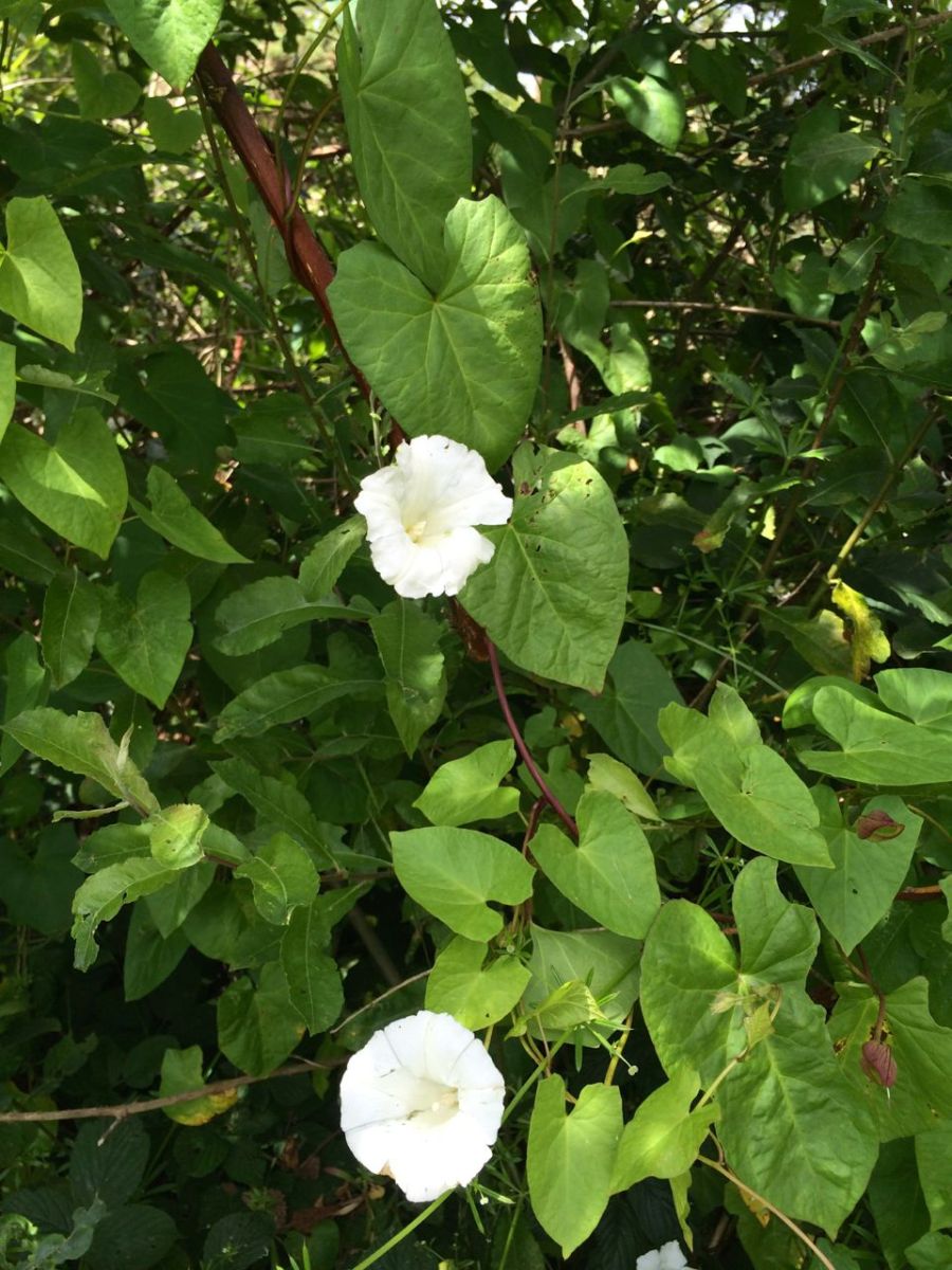
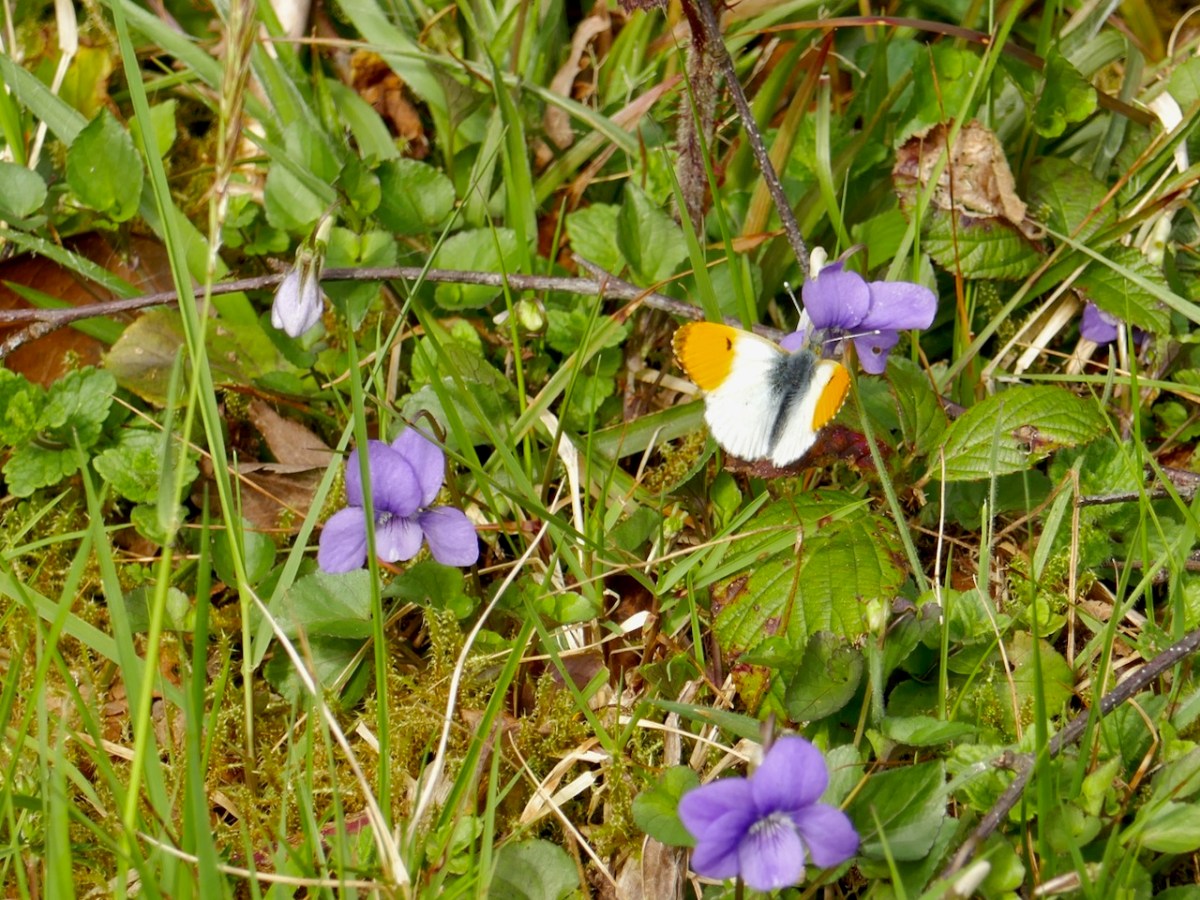
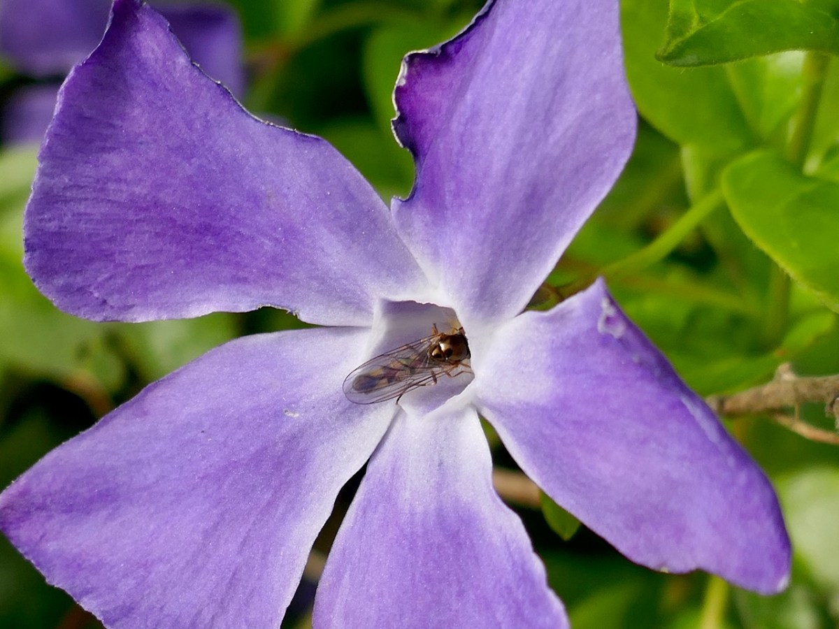
Onward and upward, passing an abandoned farmhouse, and marvelling at the variety of flowers along the route. Having been presented with the superb Zoë Devlin’s The Wildflowers of Ireland (thank you, Amanda!) I can now identify most of them, so here is a selection – captioned, by dint of my new-found knowledge. (Mousing over the pictures will bring up the captions, clicking on them will take you to full size images.)
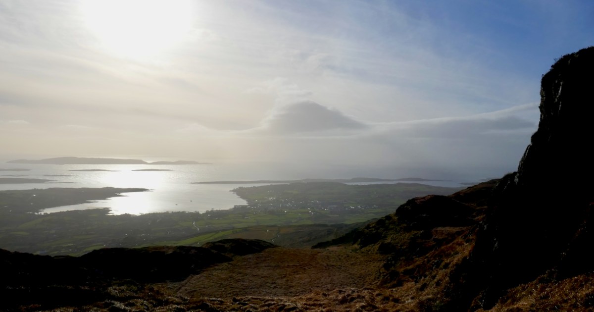
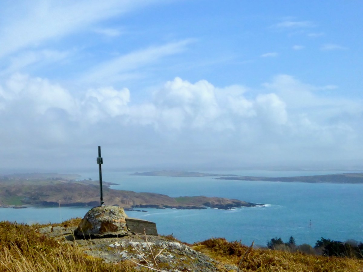
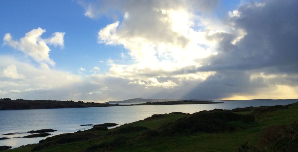
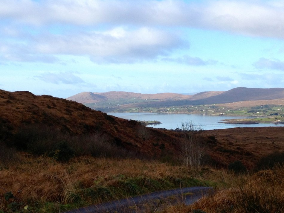
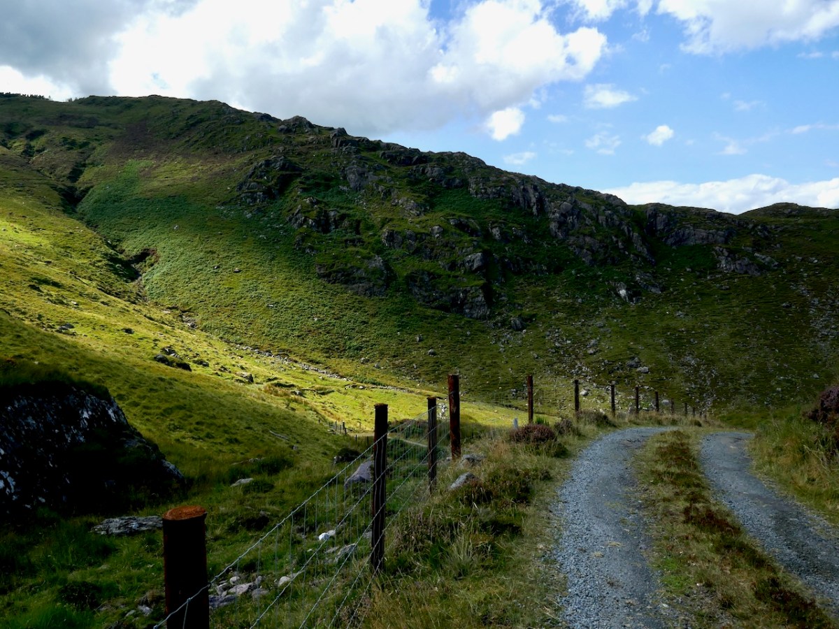
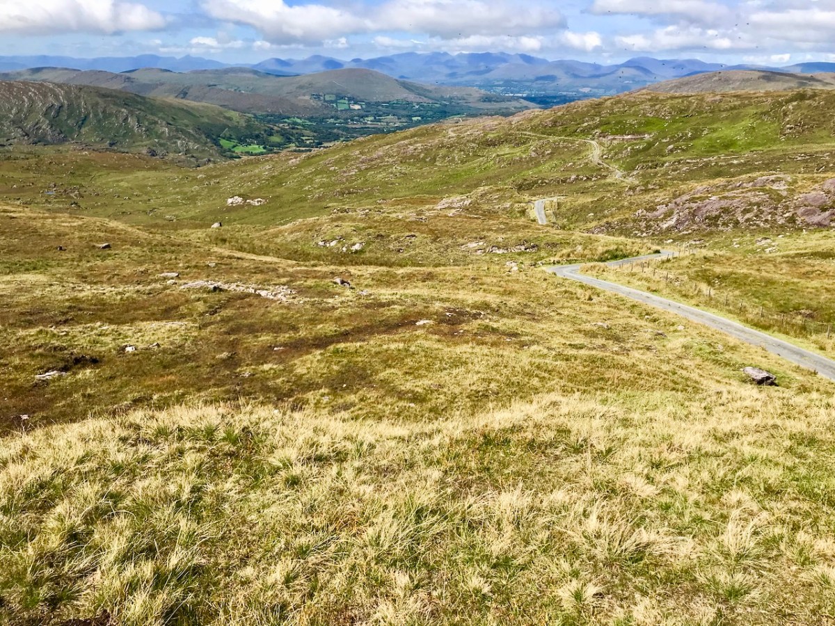
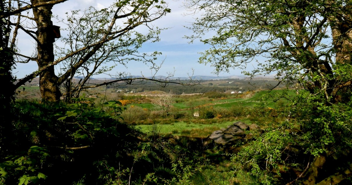
As the road ascends, we could look back towards Schull and Long Island, or north to Mount Gabriel. The sense of peace, of being in a place of age-old tradition, is palpable.
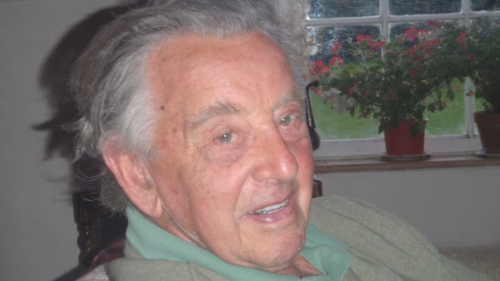
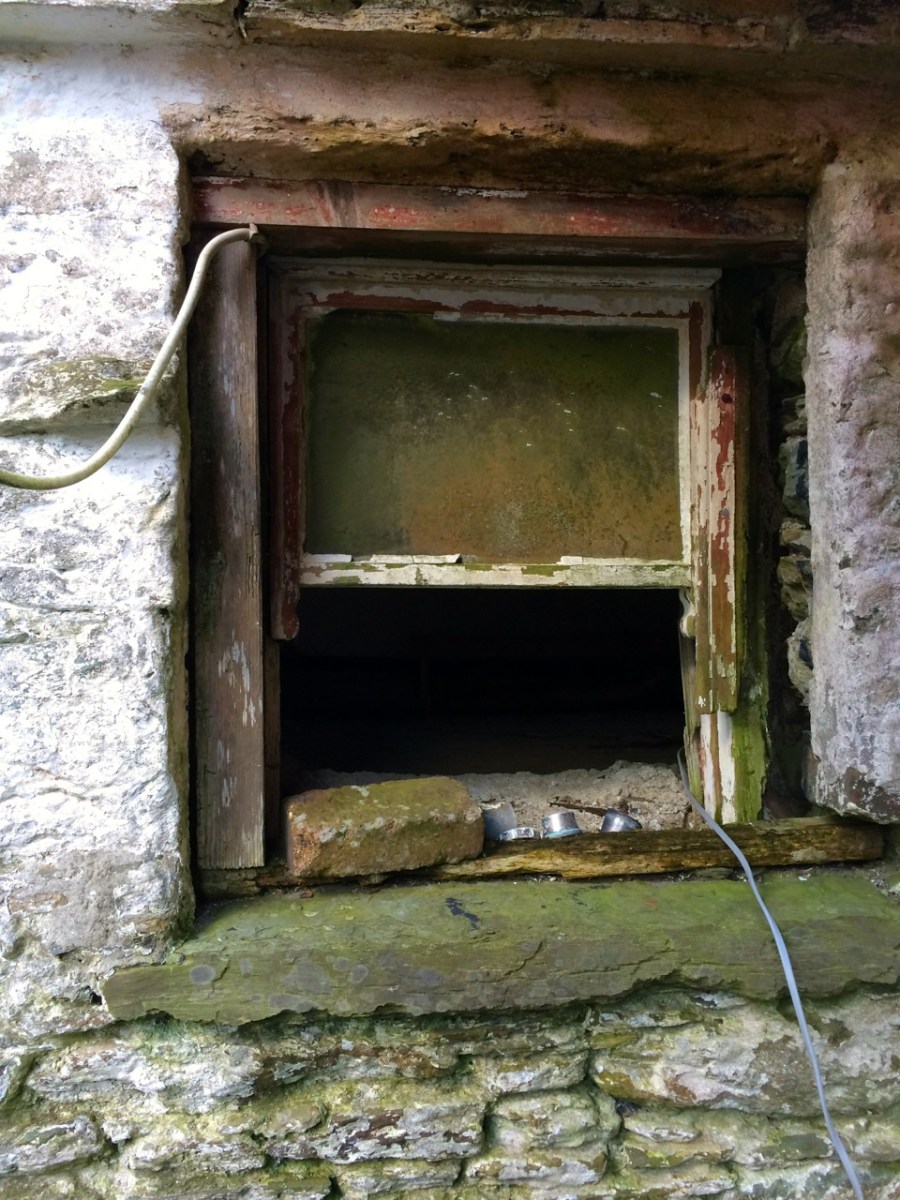
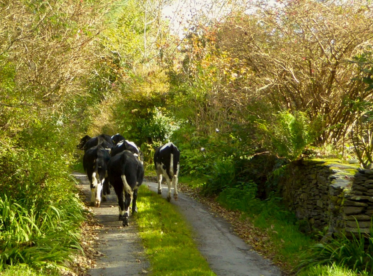
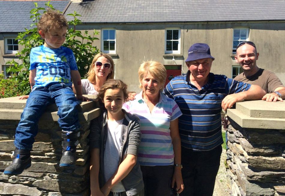
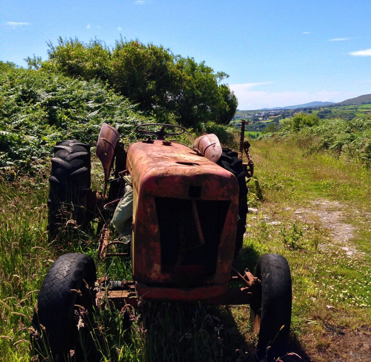
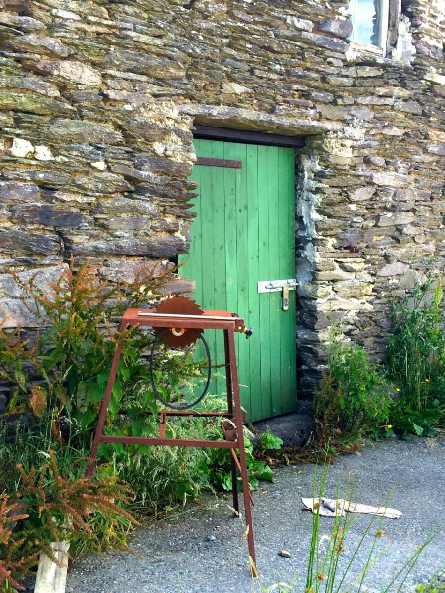
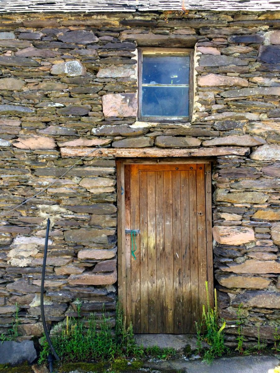
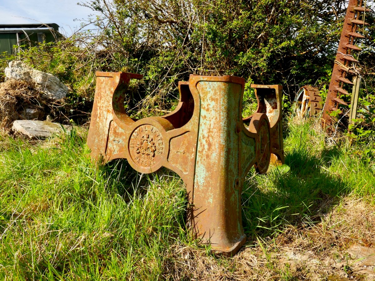
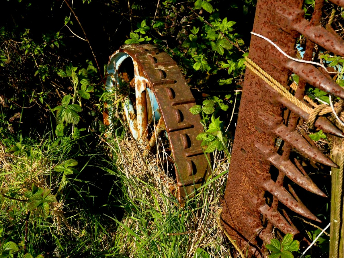
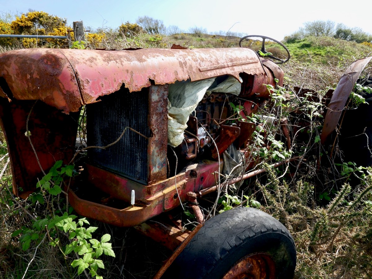
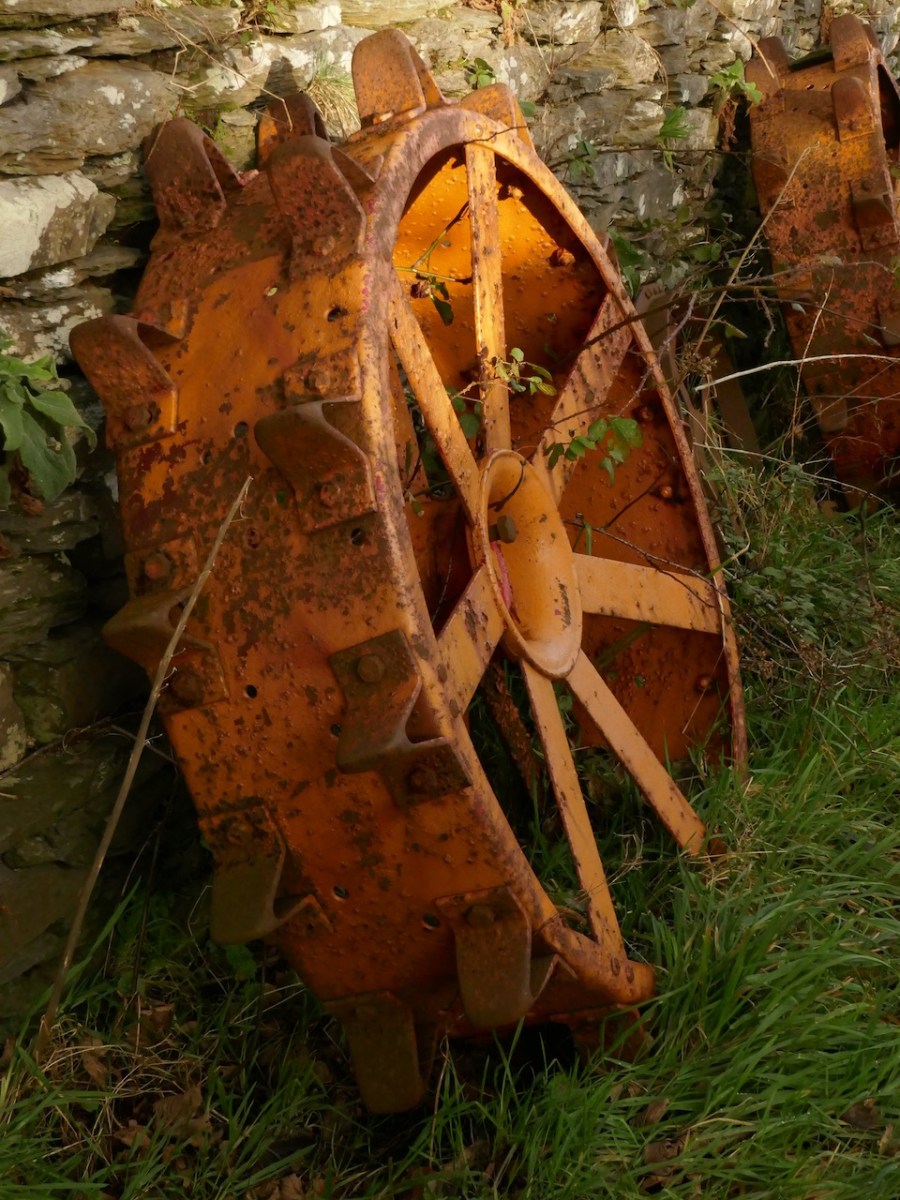
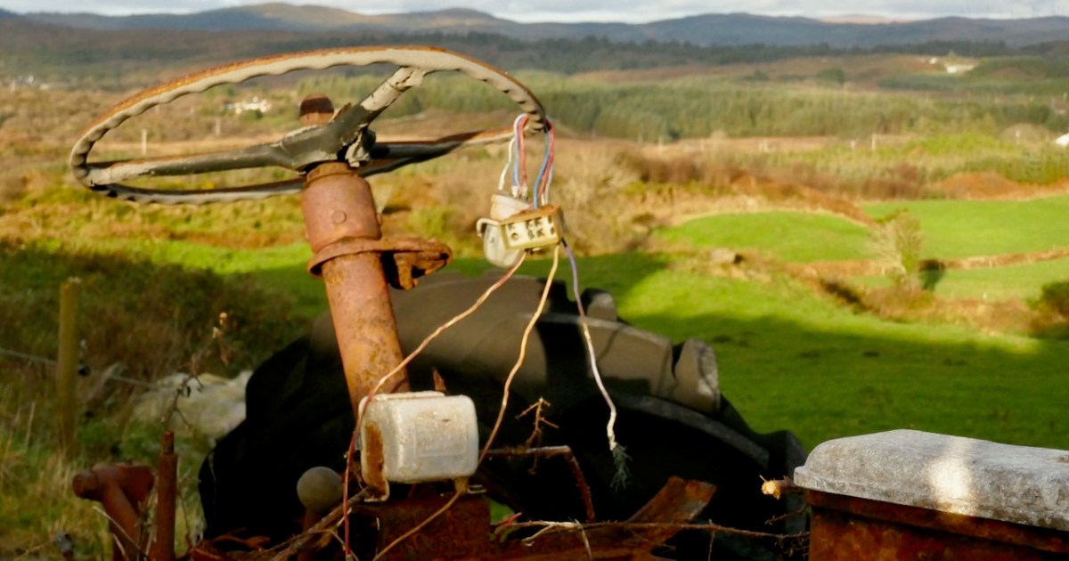
Near the top of the hill we met the Newman family, setting out from their farmhouse to walk down to Schull. John and Helen grew up in this house, walking to school in Rossbrin (about 4 km away) every day and John still lives in the house. He has a fascinating collection of old tractors and an obvious interest in farm machinery of every kind. They told us they had the butter road all to themselves in the old days, but now it’s quite popular and they are glad to see it used and enjoyed. A Mr Henry Ford once lived in the farmhouse, related to THE Henry Ford, whose father came from Ballinascarthy, near Clonakilty.
The Butter Road is an ancient right-of-way, but access depends on the goodwill of those, like John Newman, and like Paddy Hayes whom we met on the way down [now sadly deceased], whose farms and fields lie along the route. This is a marvellous resource for the people of Schull and Ballydehob and we are grateful to those whose vision and hard work and generosity of spirit have made it a reality.
If you want to experience the tranquility of the deep countryside, lovely views, and a sense of how the making of a road could connect far-flung communities to the wider world, we recommend an afternoon spent on the Butter Road.
We used to use this gallery format a lot in the old days, so here is a new set of images in the old gallery format.
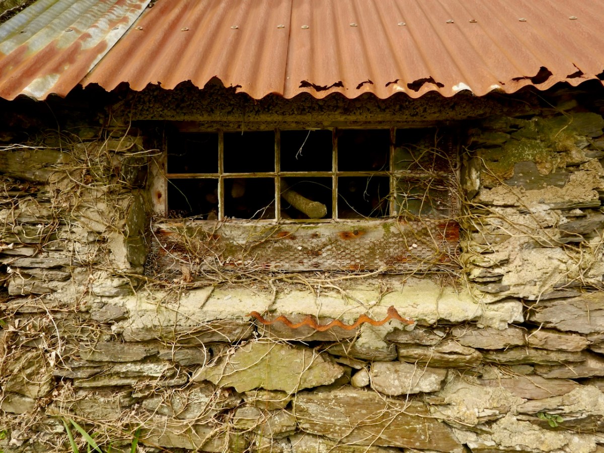
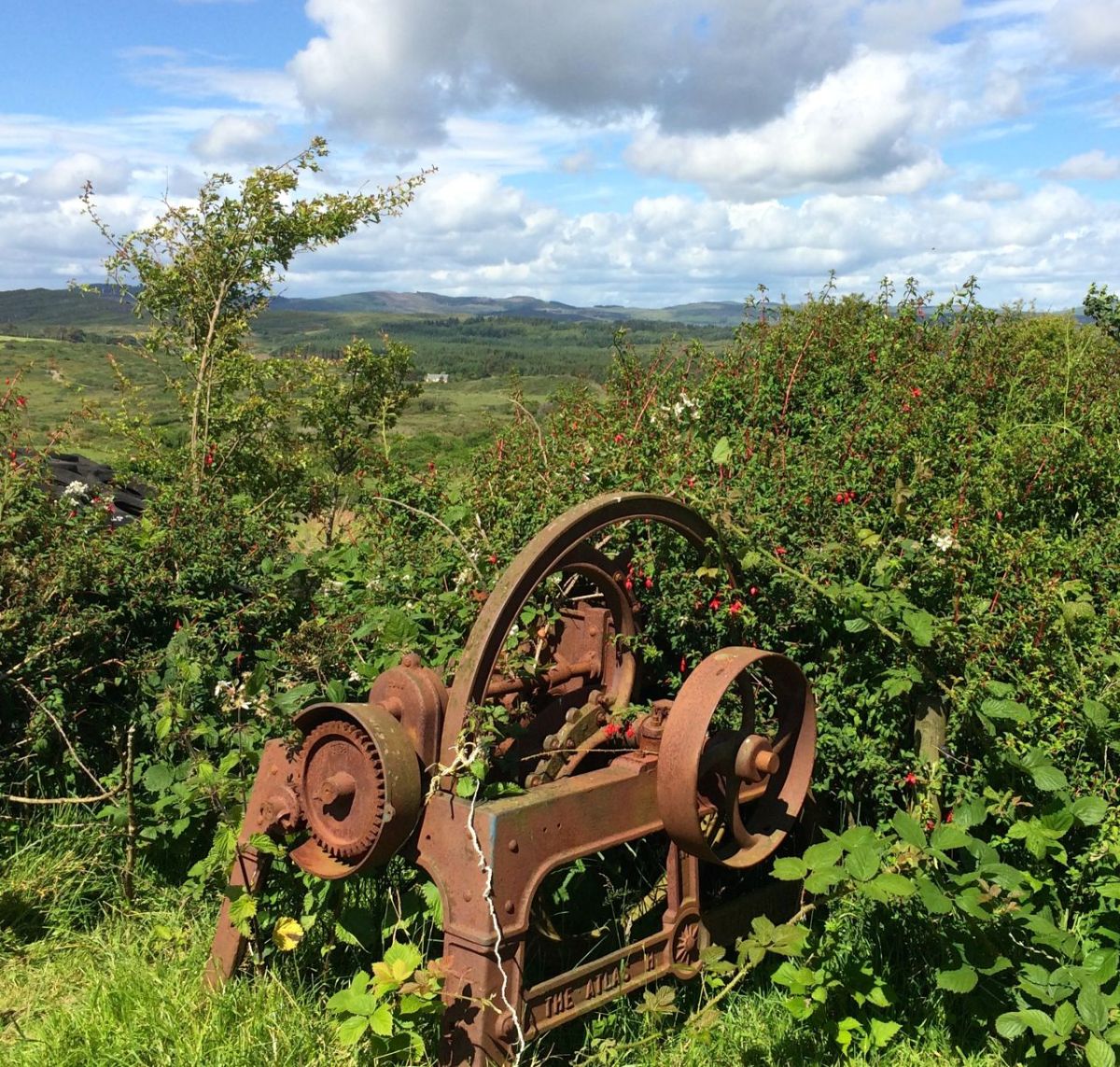
And a second set of some of the wonderful old equipment we glimpsed along the way.
PS: I can’t believe how little I knew about wildflowers in 2014. It has since become one of my abiding passions.