Derrynablaha and its Rock Art

A bit of a nostalgia trip for Finola and me this week: we spent a couple of days in Kerry and dropped in to Derrynablaha – the iconic valley which has some of Ireland’s most notable Rock Art. These stones were carved on natural rocks on the hillsides many thousands of years ago. To this day, we don’t know what they signify.

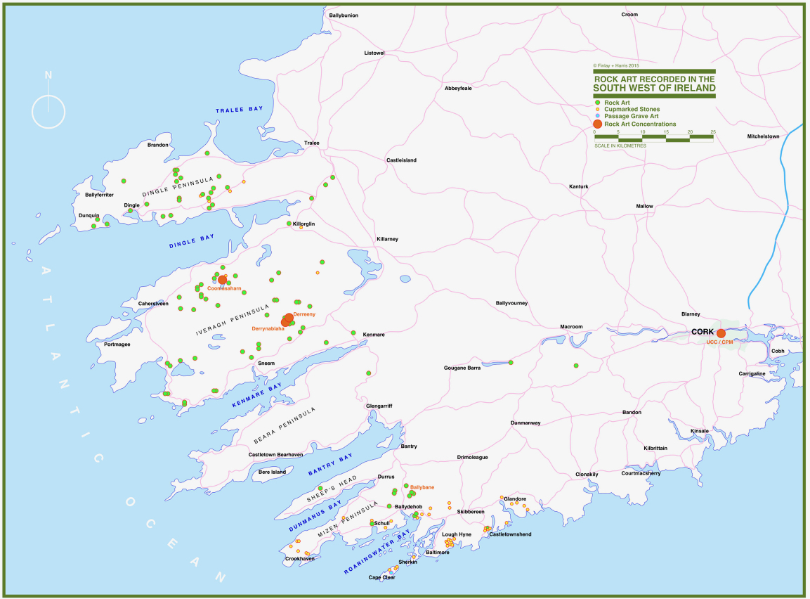
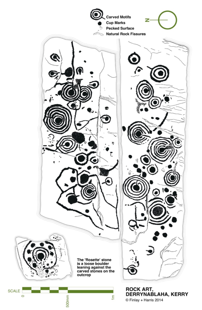
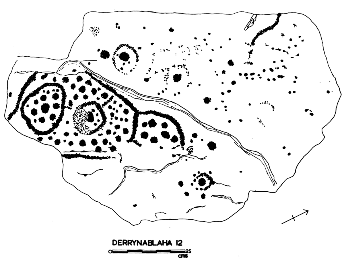
Some years ago, Finola and I organised exhibitions showing examples of Rock Art – many taken from Finola’s 1973 University of Cork thesis. The map above was drawn for the exhibitions: you can find Derrynablaha in the centre of the Iveragh Peninsula, left of centre. Below is a rendering of Finola’s thesis drawing showing – arguably – the most significant piece of Rock Art on this island:

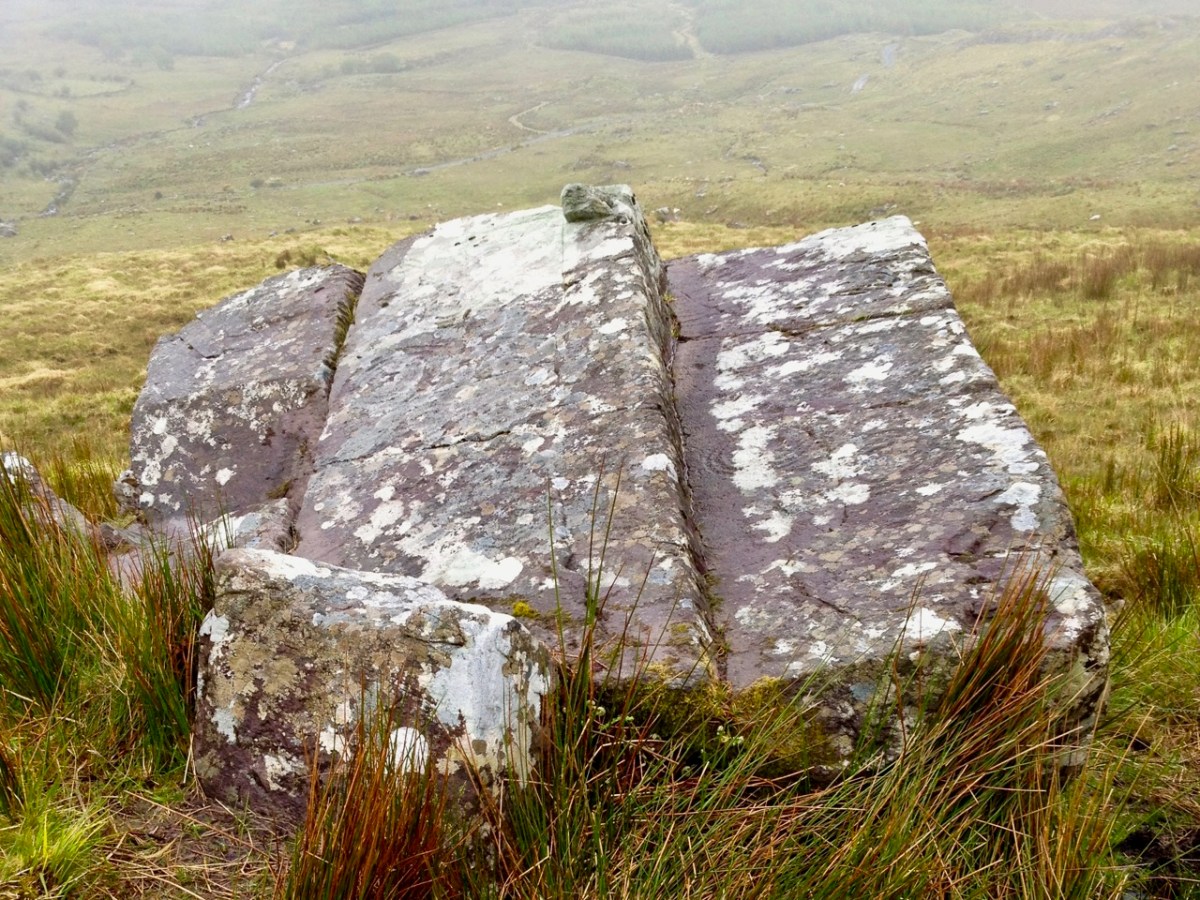
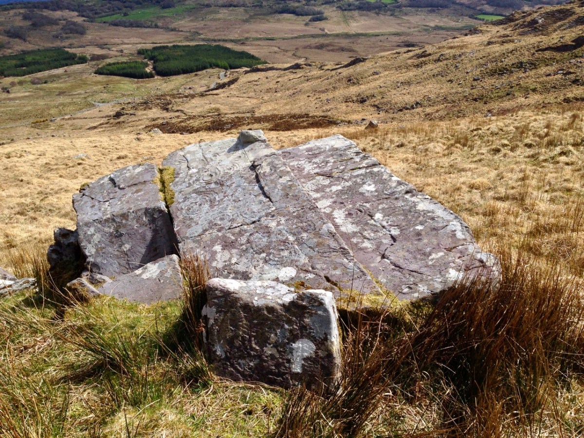
Here’s a photo of these rocks which I took on my first visit to this valley, in 2012. It was a dull day! The next photo was taken on a better day three years later. This shows how weather conditions can affect the way that Rock Art motifs are seen:

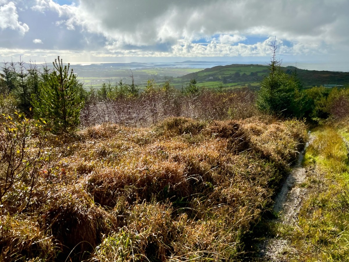
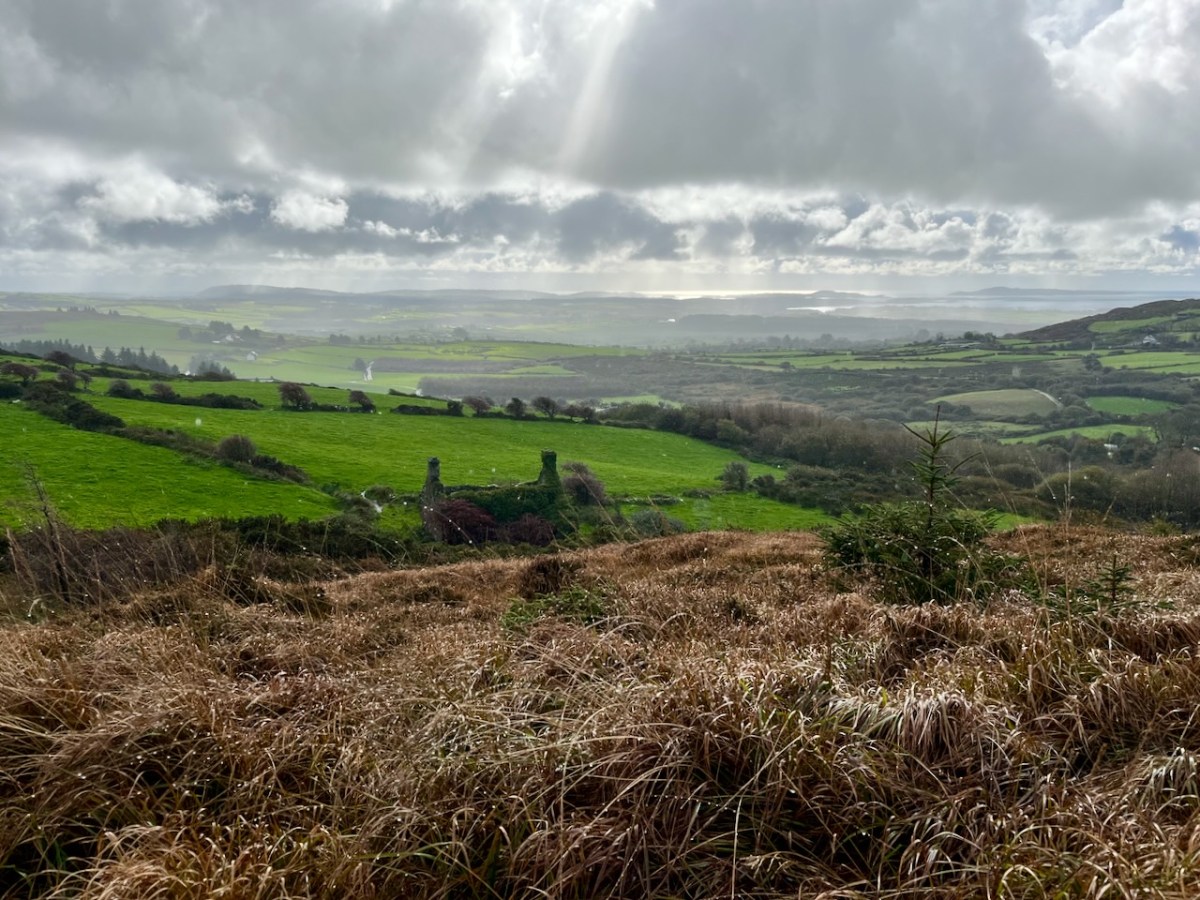
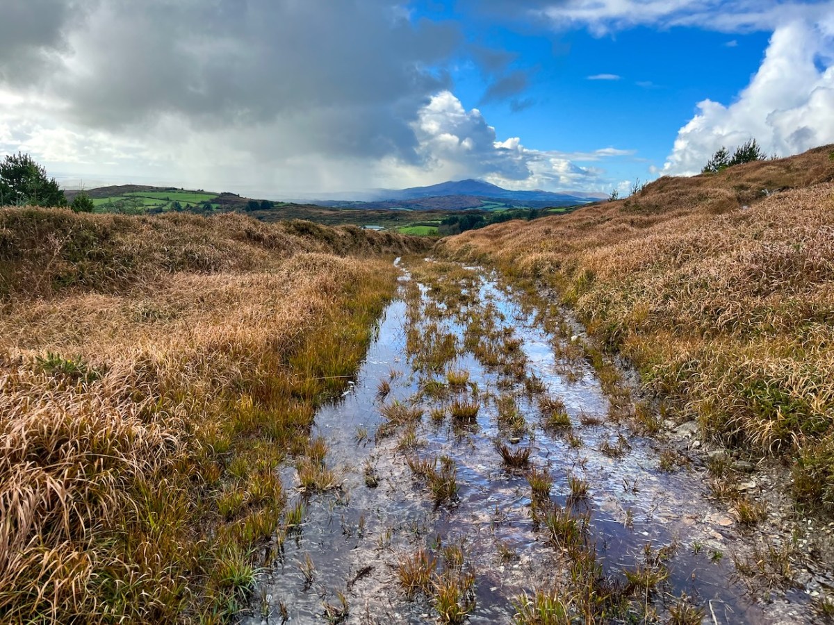
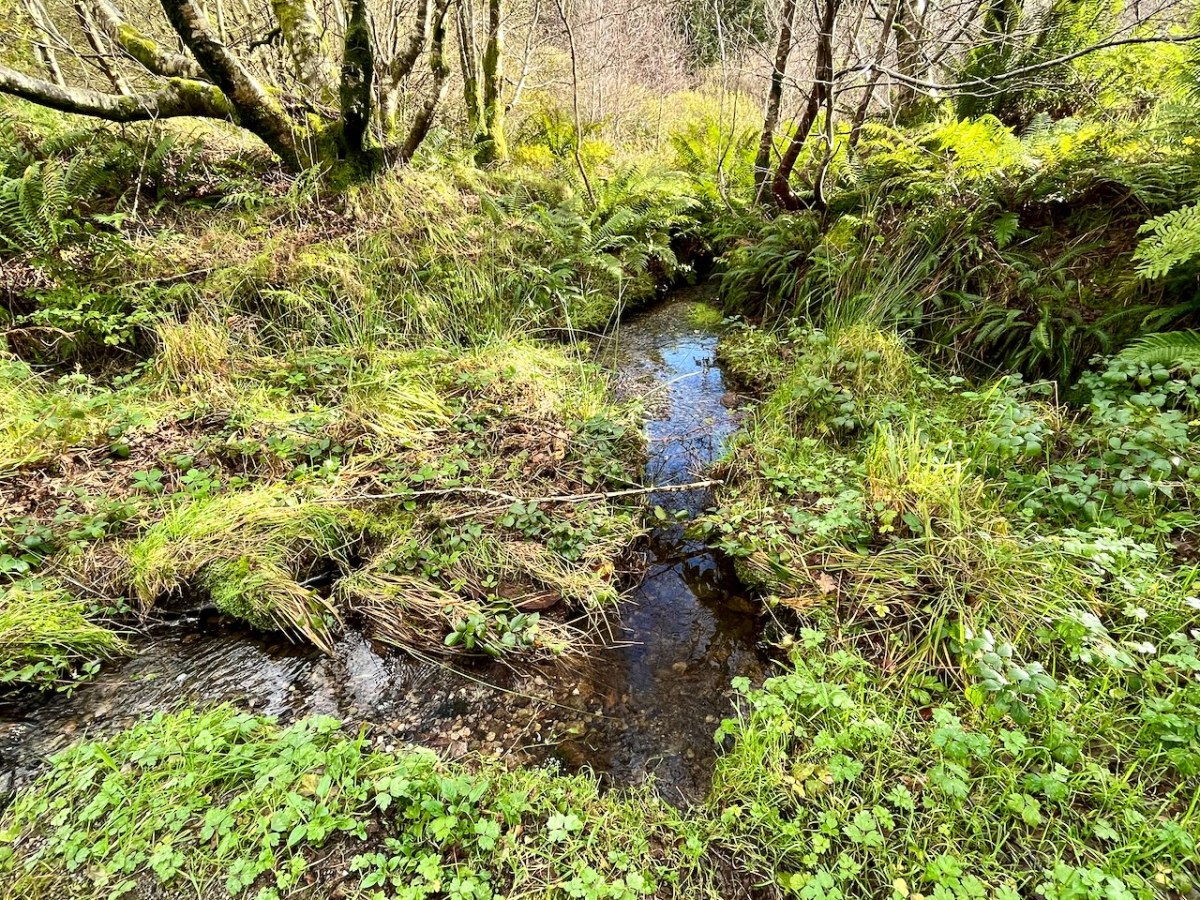
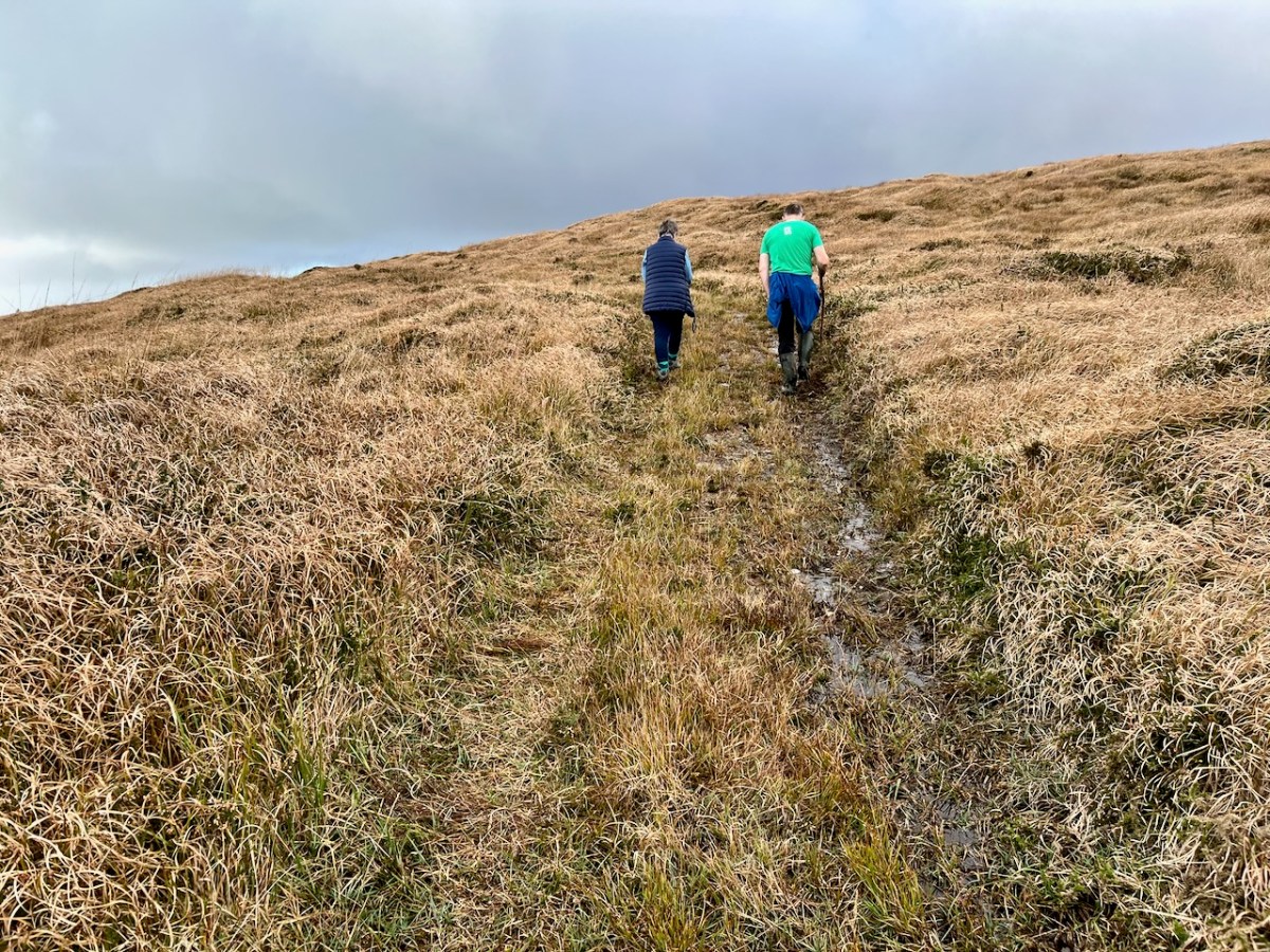
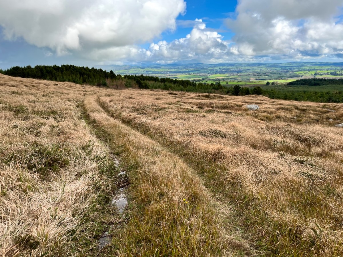
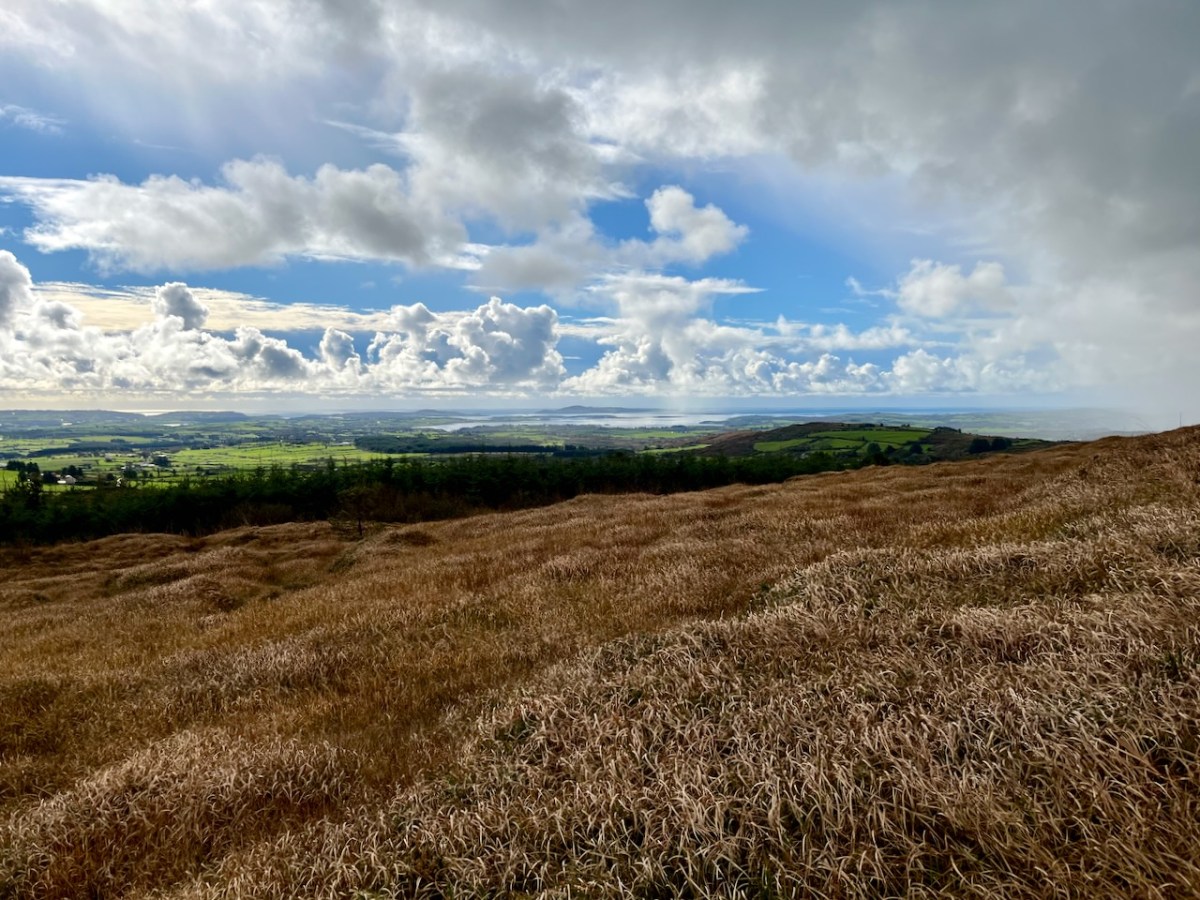
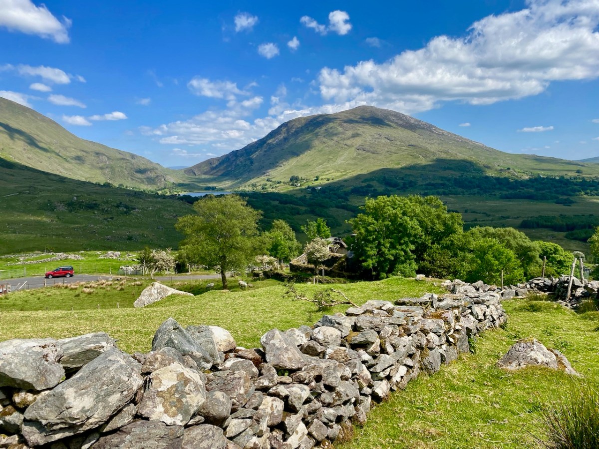
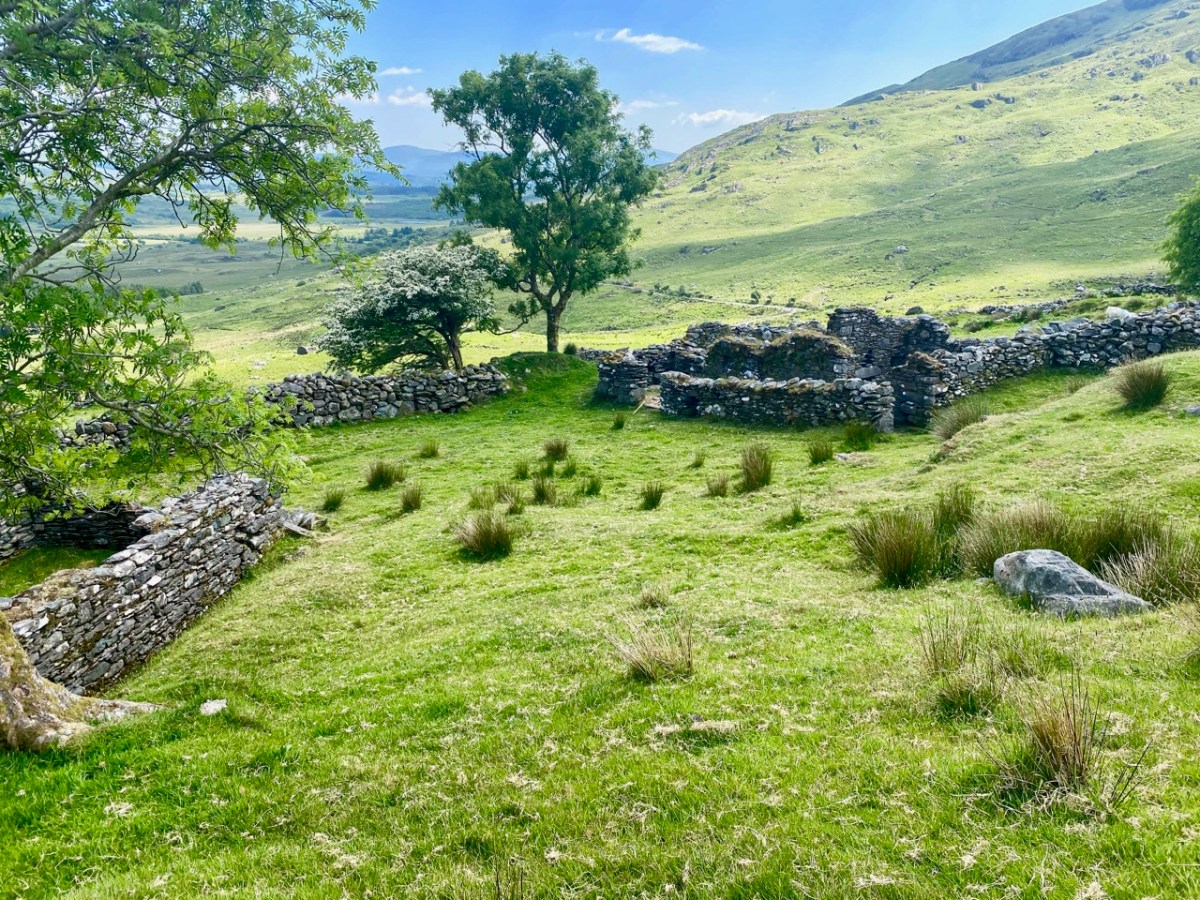
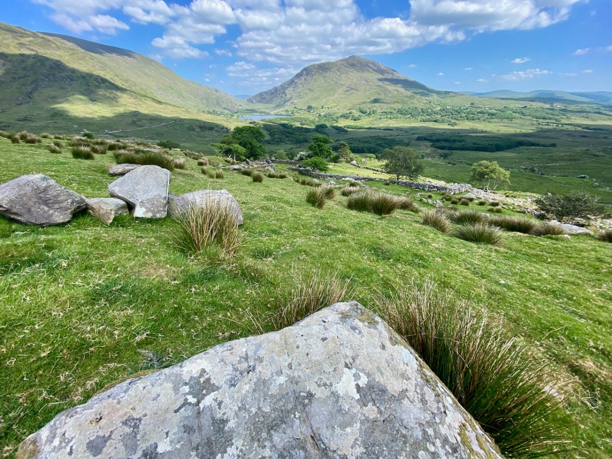
On our most recent visit – last week – we didn’t have time to scale the steep hillside to view this rock formation, but we enjoyed just taking in the stunning landscapes of the townland.

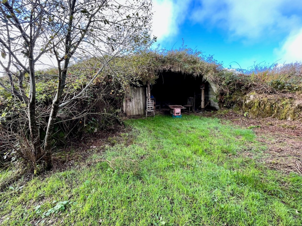
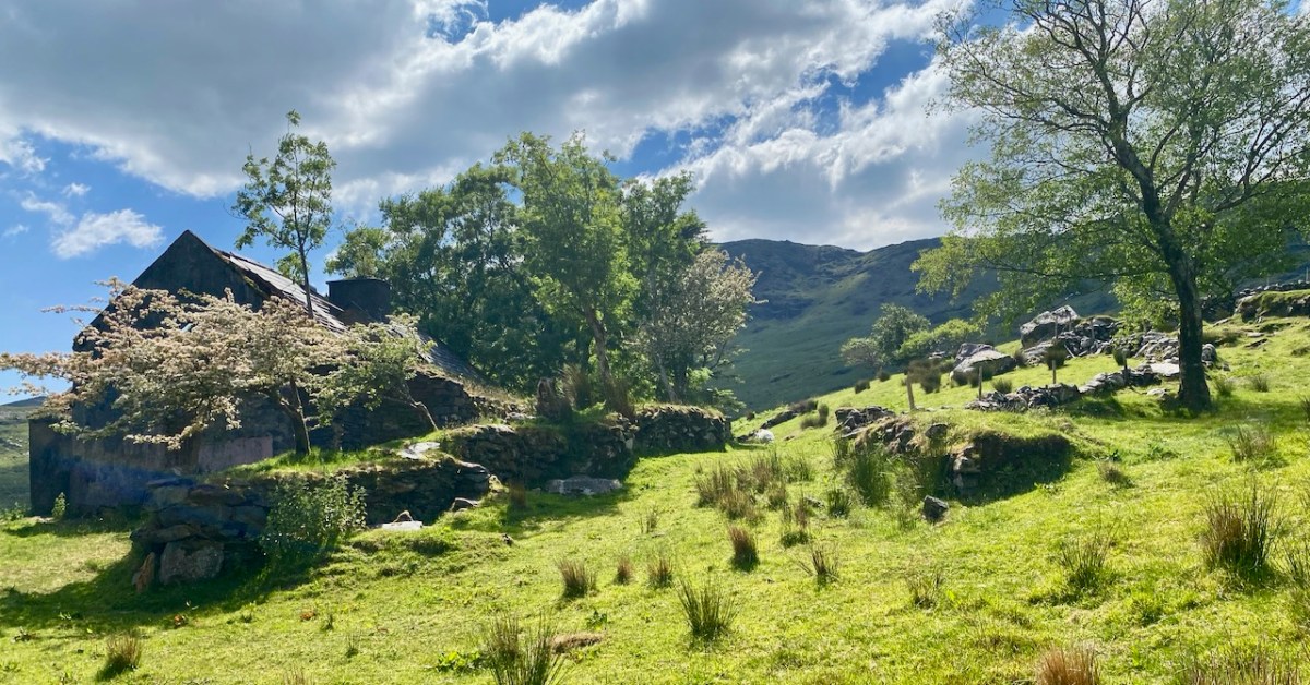
Above, and in the header picture, you can see the ruin of the cottage, which was once the only dwelling in this valley. It was still lived in when Finola visited to carry out her survey of the Rock Art in 1972 – fifty years ago. Then it was occupied by John O’Sullivan and his sister, May. John’s brother – Daniel – discovered much of the Rock Art in the surrounding landscape and reported this in the 1960s to Michael Joseph O’Kelly, then Professor of archaeology at UCC, and his wife Claire. Subsequently the O’Kellys made some expeditions to Derrynablaha, as did the Italian rock art expert, Emannuel Anati. Daniel had died prior to Finola’s visits and she recalls that the remaining family were excellent stewards of the Rock Art, ensuring that it was preserved and not damaged. She has ‘hazy memories’ of being brought into the house and given cups of tea and brown bread.

After we had published earlier posts about Derrynablaha, Finola was contacted by Faith Rose – the great niece of the O’Sullivans who lived in this cottage in 1969: Faith had visited the valley in that year. She recalls:

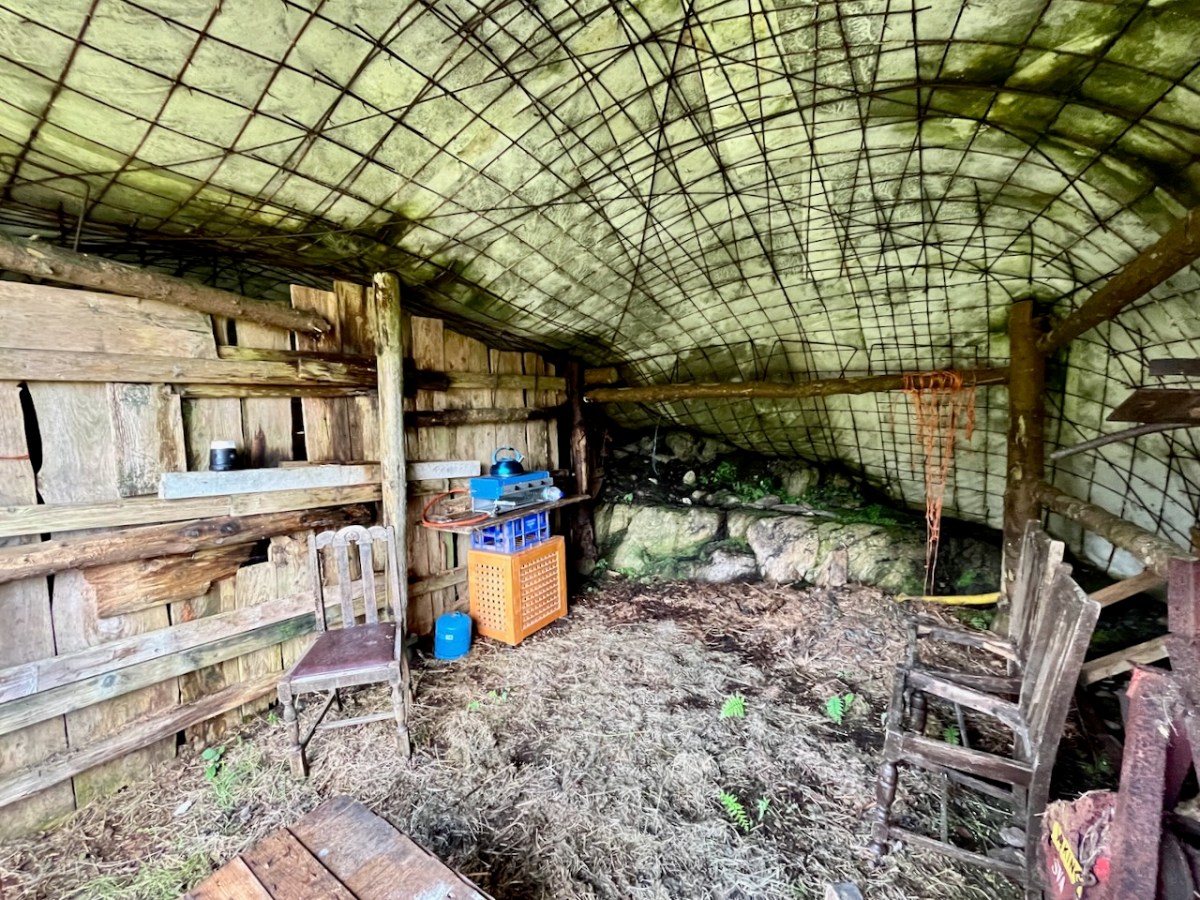
. . . I remember their bedroom was downstairs, the staircase to the upstairs being unsafe. There were none of the usual services in the house. There was an old fashioned fireplace where you could cook with a settle at the side. I seem to remember being told it had been built under some government scheme and the original stone farmhouse was to be seen slowly returning to nature close by. I wonder if you recall any of this. My great aunt and uncle were shy people who extended us the best hospitality. To my sister and I it was a magical place, but the hardness of their lives there was clear . . .

Faith Rose 2021

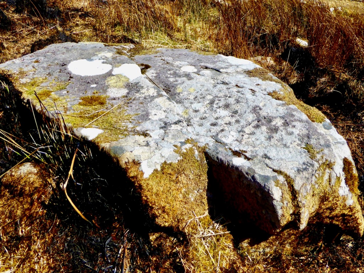
There are the ruins of several other buildings set within this landscape, indicating that the settlement was once significantly more populated in earlier times. Now it is wildly lonely, but impressively beautiful. When Finola carried out her surveys, she recorded 23 pieces of Rock Art. Today it is recognised that there are 26 known examples, with a further 7 stones in the adjacent townland of Derreeny. Long term readers of this Journal may recall that we visited the townland in April of 2015 – together with a small group of enthusiasts – to seek out all the known examples. At that time Ken Williams was using techniques he had developed to photograph the carvings in fine detail. These employed several portable light sources. The following sequence shows one of the rocks (number 12) taken without lighting; Finola’s drawing traced in 1972; then Ken’s technique in action and his results, which are remarkable:

Once again you are reading about the Rock Art at Derrynablaha! There have been several posts on this subject over the years, but we make no apologies: we never tire of the beautiful landscapes of Kerry – and we have seen it in all weathers. It would be good if we could be closer to solving the meanings of these rock carvings; this is unlikely to happen. Over the last 300 years since the phenomenon was first recorded in Ireland (and Britain, and many other places in Europe and the world) there have been varying theories – dozens – put forward for its existence: none of them is conclusive. Think on . . .

Wild-Eyed!

It’s just one way of looking at our environment: we are being hunted down by a pair of mechanical eyes on orange stalks. Another way of seeing it is as a public work stand for cyclists! I certainly prefer the former…
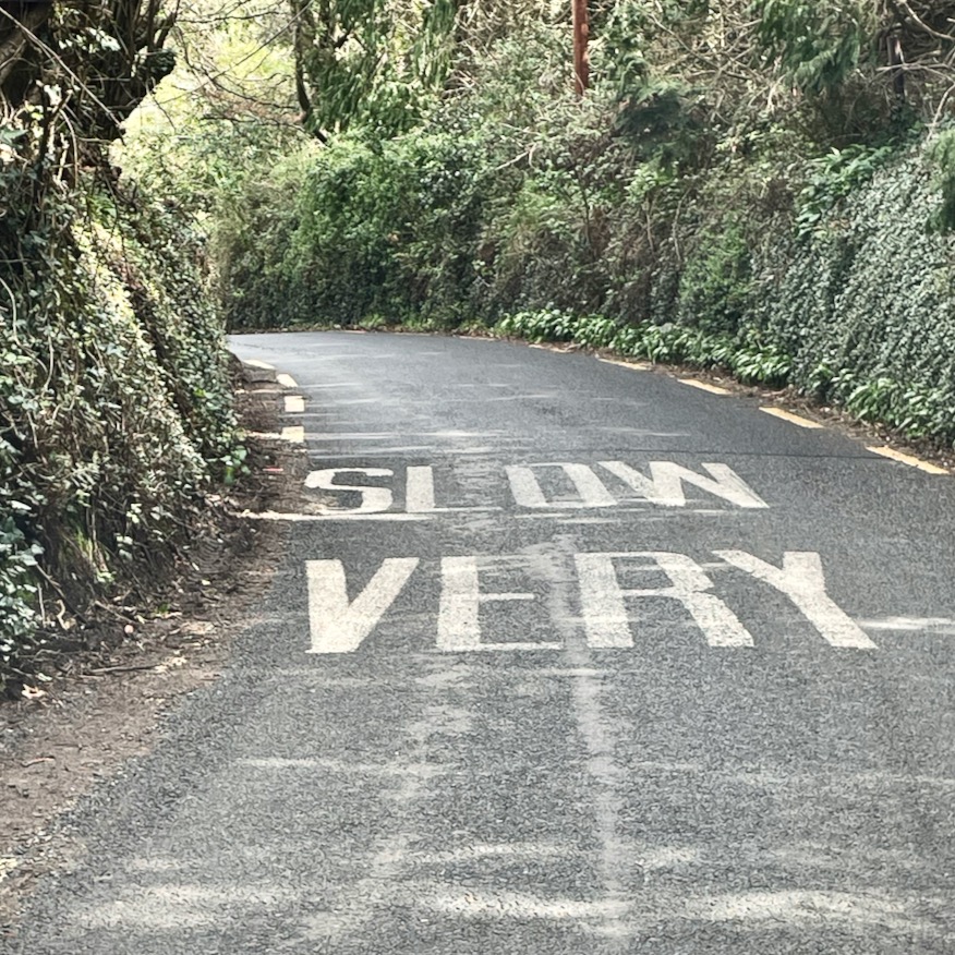
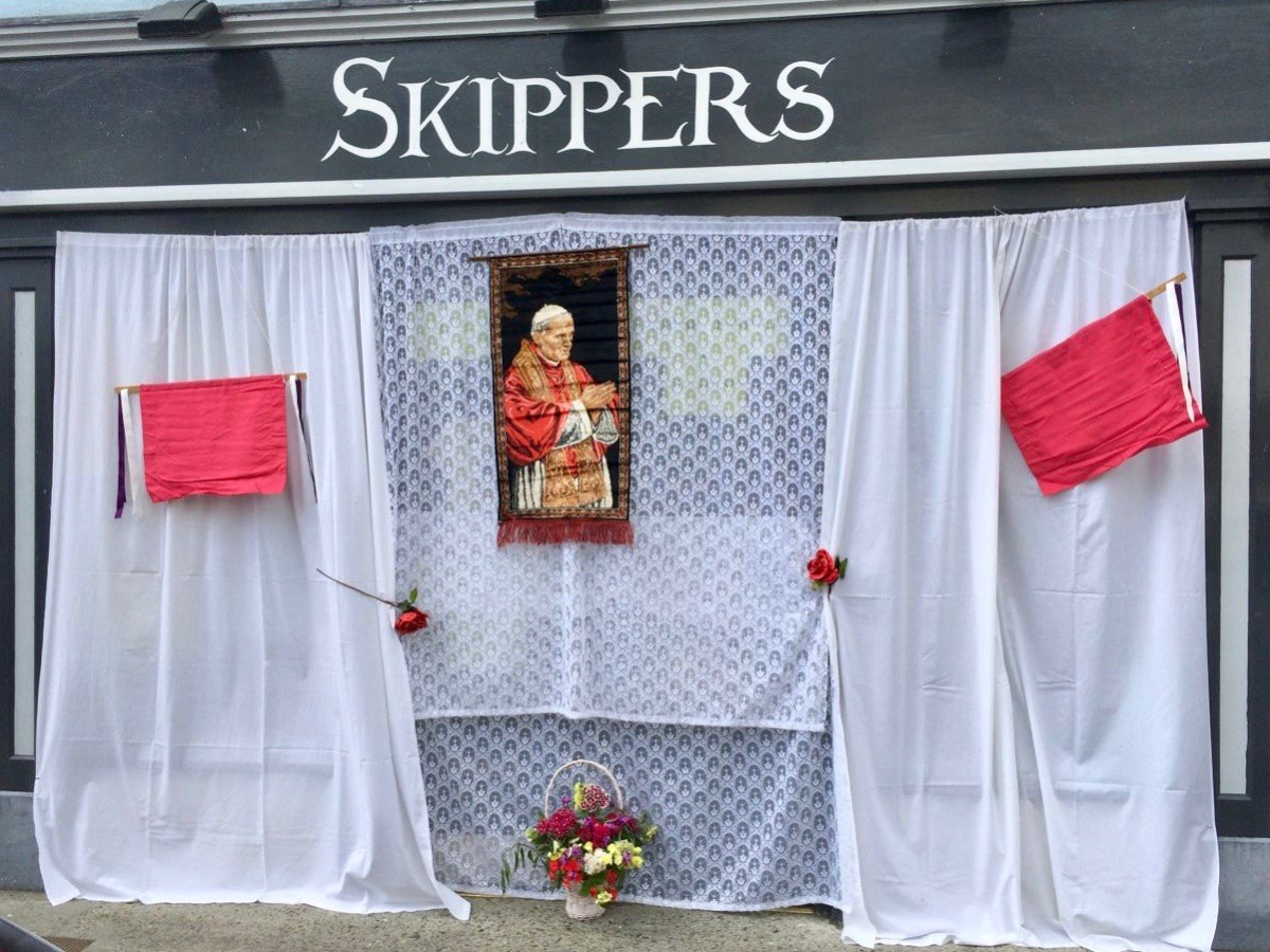
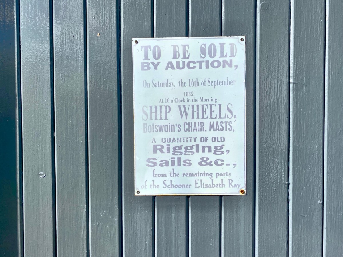
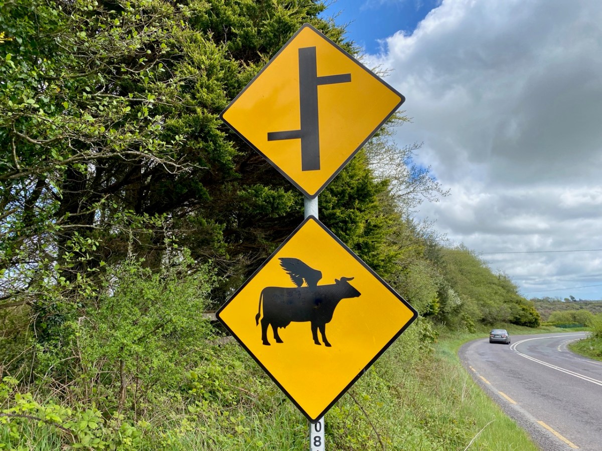
It’s a dangerous world . . . You never know what you have to watch out for. Obviously it’s time for another selection of signs and similar. Mostly, these recent examples come from not too far from home. But keep your eyes open at all times – wherever in the world you are.

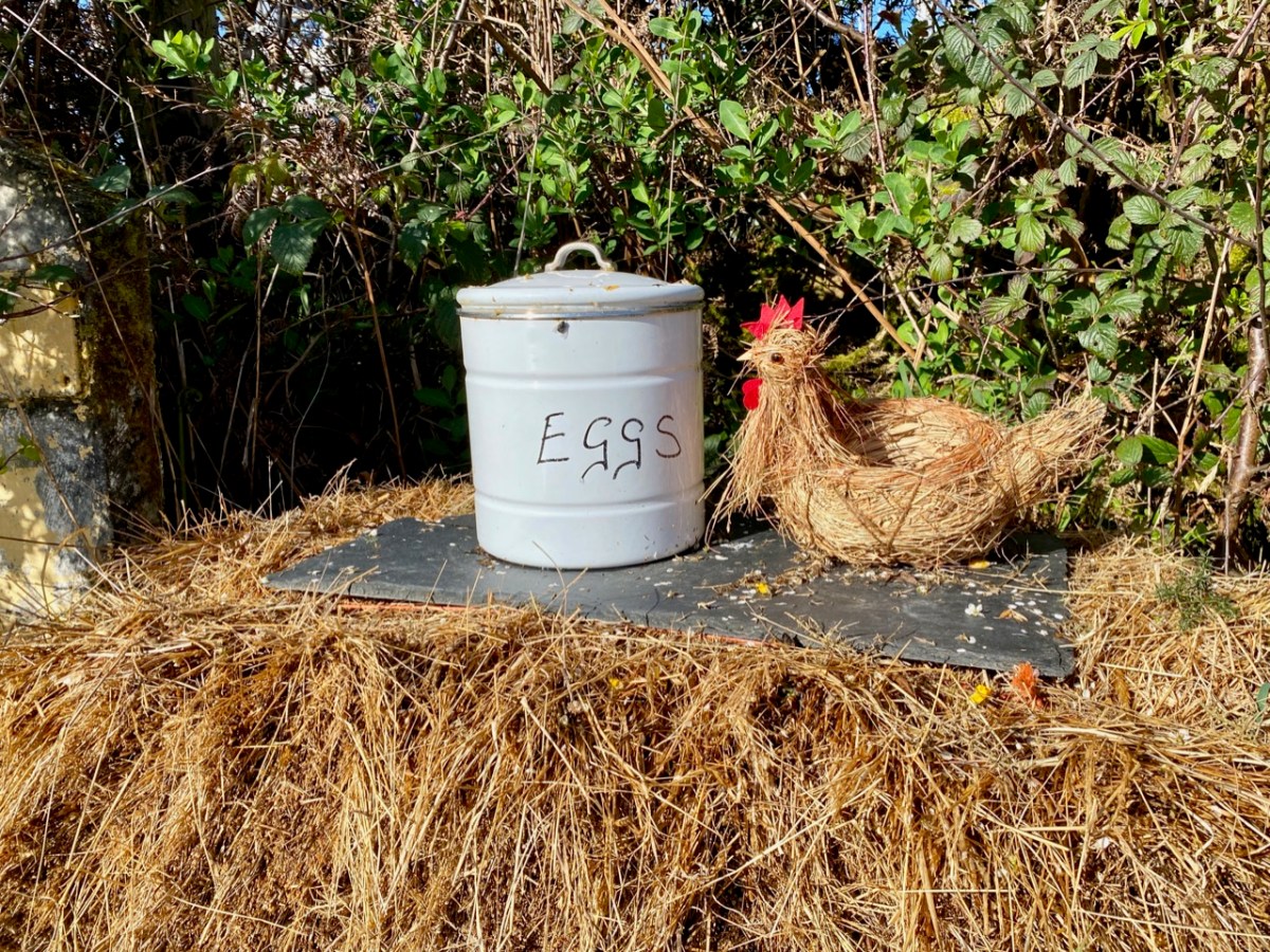
It has to be Ireland if there’s a carrot in a tree.

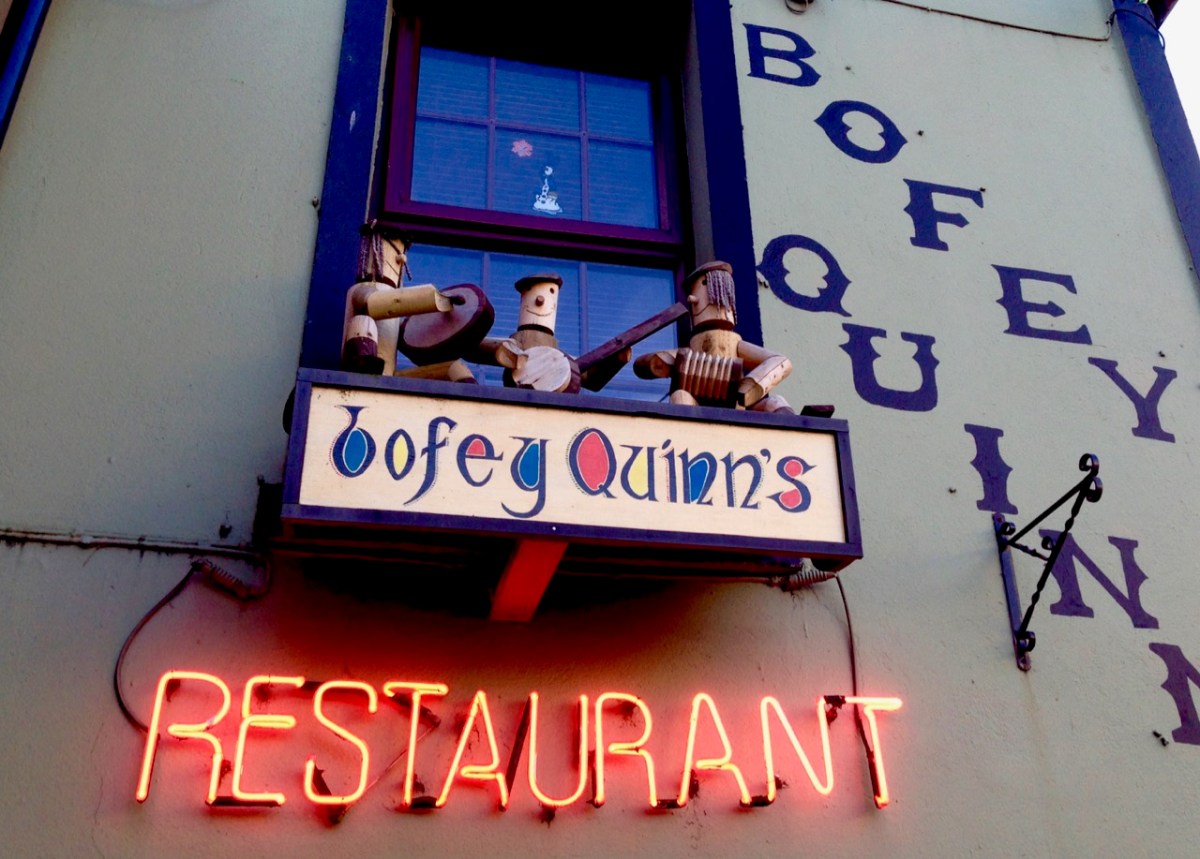
Also if there’s a traditional music group on a window-cill.

Friendly advice always welcome…

This one is just down the road from us: it can’t fail to attract customers.

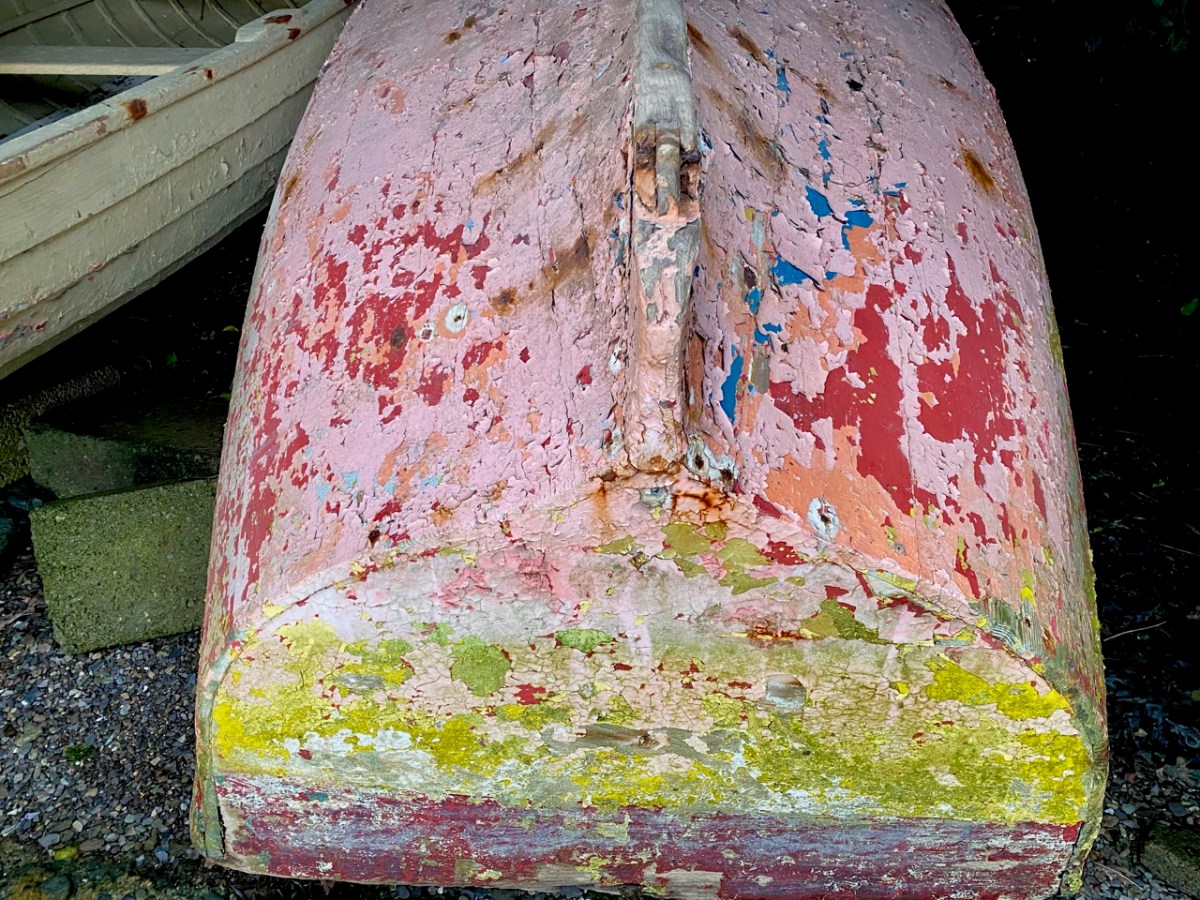
We might call this ‘accidental art’ – it’s a long abandoned hull in a decaying boat-shed near Leap, West Cork.

A very long way from here, as it happens. Perhaps a slightly strange way to sell your services?

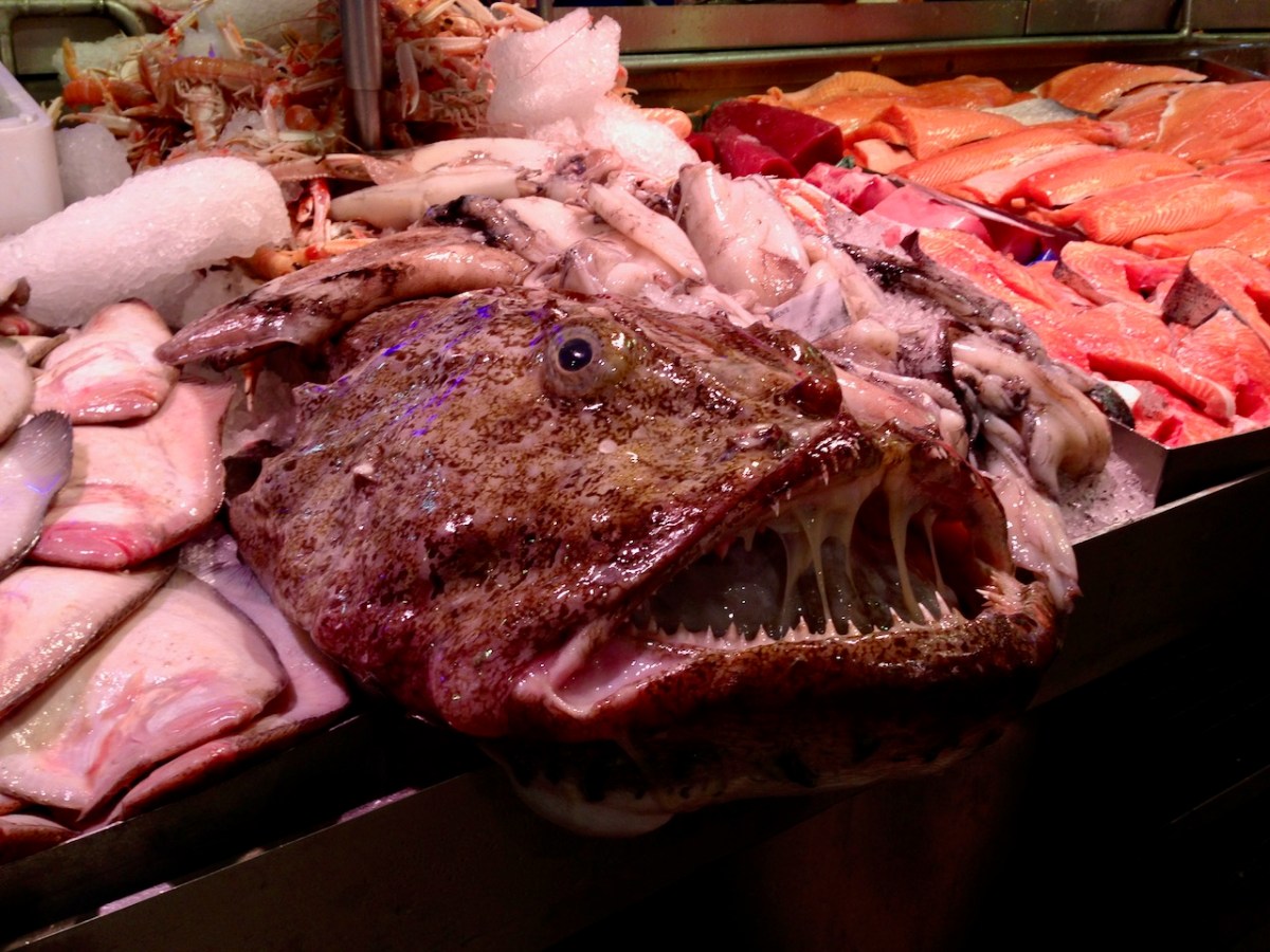
This – on the other hand – is service with a friendly face, in Cork Market.

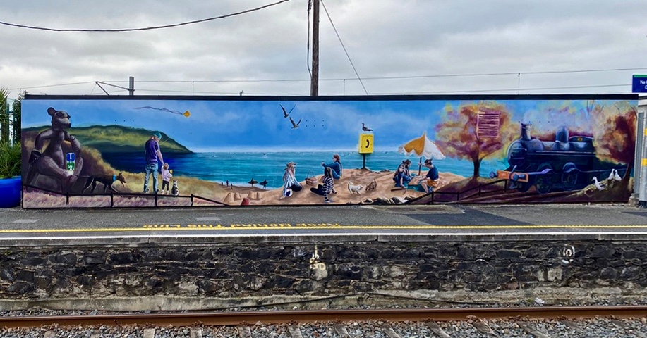
I liked this giant mural on the railway station in Greystones, Co Wicklow.

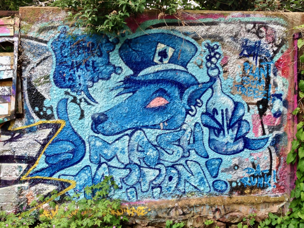
Another mural – and a few recognisable faces.

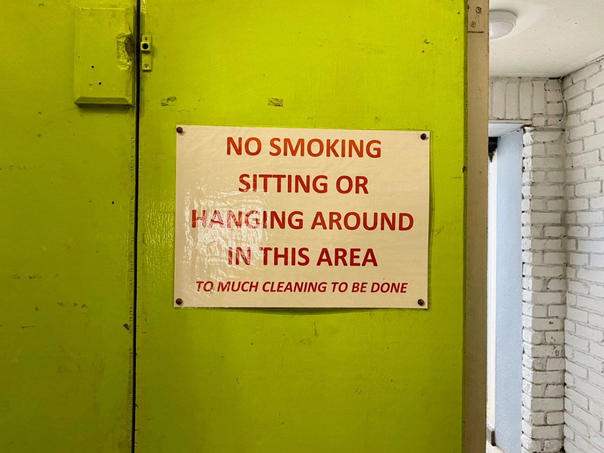
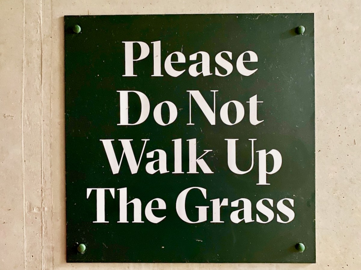
A whole lot of the signs in focus today don’t need any comment from me!

Last, but by no means least – the one below greets us every day as we make our way along our West Cork lanes: hope you get a kick out of them all!

You’l find more Irish signs here.

Megalith or Monstrosity?

Some intriguing arrangements of stones here – and some enigmatic reporting of their significance as history. We are a long way from West Cork – in fact, over on Ireland’s east coast, among the fine estates of Killiney. We can’t help but search out examples of archaeology wherever we go, and a red dot on the Historic Environment map is always a good starting point, as is anything with an enigmatic name.

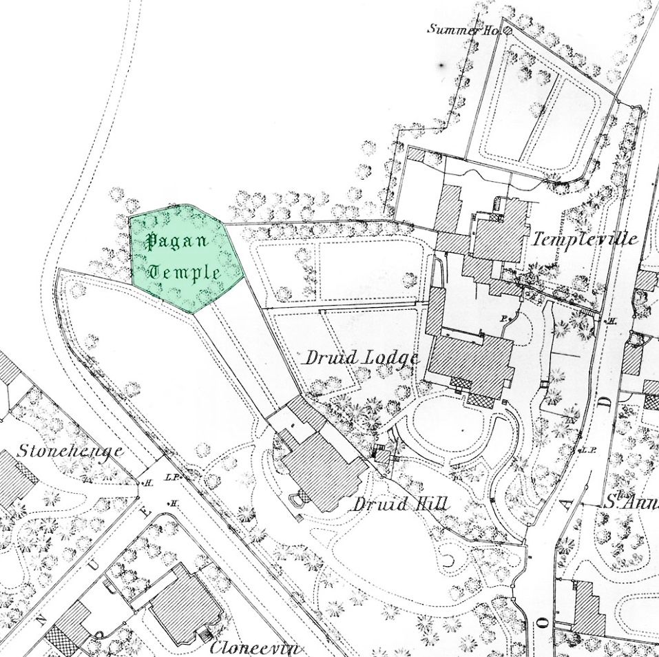
In this case, the red dot is just to the left of the ‘Pagan Temple’ at the top of the 25″ OS map – but look at all the other intriguing names in the locality!

Here’s a close up -extracted from the 1888 OS map, highlighting the site that we are looking at today. With Templeville, Druid Lodge, Druid Hill and Stonehenge as neighbours, the Pagan Temple demands a closer look!

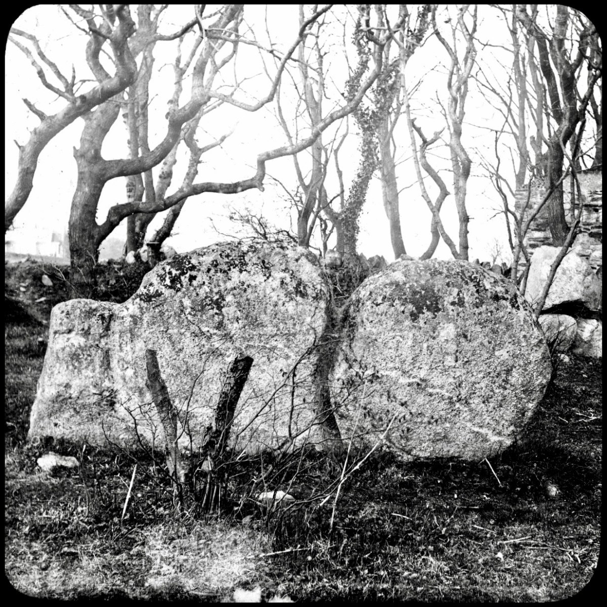
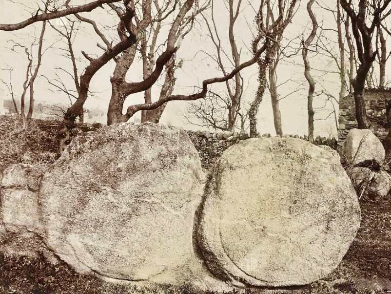
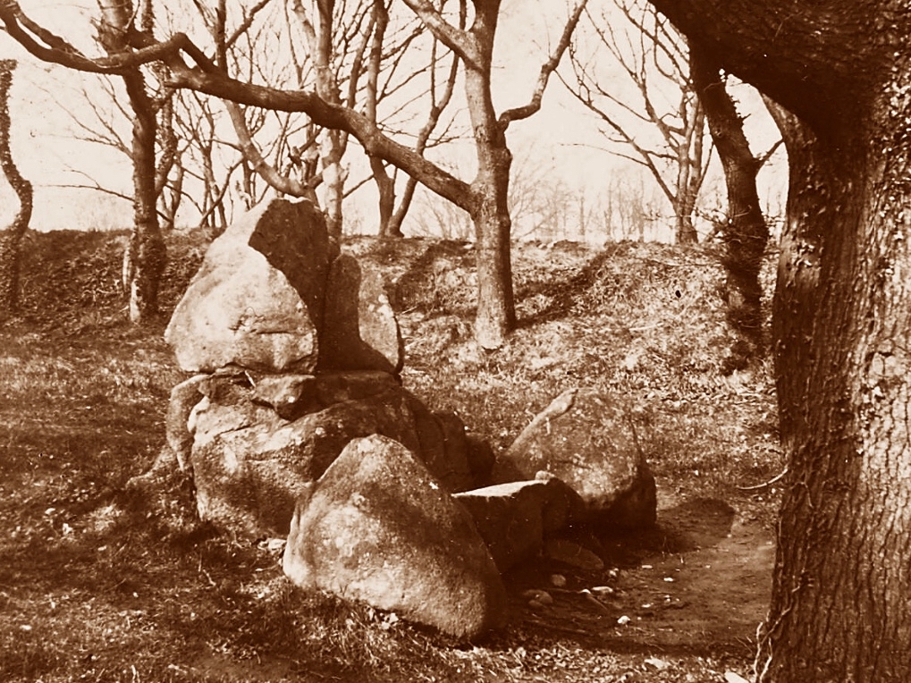
It was last week’s subject – the writer and photographer Thomas Holmes Mason – who directed us to this County Dublin location. As a significant producer of picture postcards, Mason has left a large body of work, even though many of his photographic plates were destroyed in a warehouse fire in 1963. The National Library of Ireland houses a comprehensive collection, and I am grateful to them for this image, above, which shows an intriguing stone formation on the Killiney ‘Pagan Temple’ site. It is referred to as The Sun and Moon stone by some antiquarians, and the following description appears on the current Historic Environment Viewer:

DU026-010—-

Scope note

Class: Megalithic structure

Townland: KILLINEY

Description: “. . .This enigmatic structure is located within an area enclosed by a hedge on top of Druid Hill. In the E side of the enclosure are three irregular granite boulders that form a façade behind which is a larger boulder containing a setting of stones that form a seat. To the W of this are two large granite slabs set on their long axis. There are tool marks present. This structure appears to be a folly but it may incorporate the remnants of an earlier monument . . .”

Archaeology.ie Historic Environment Viewer

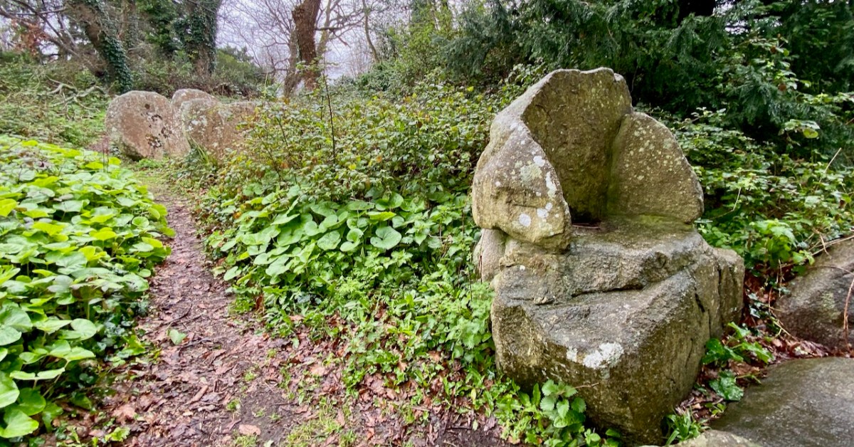
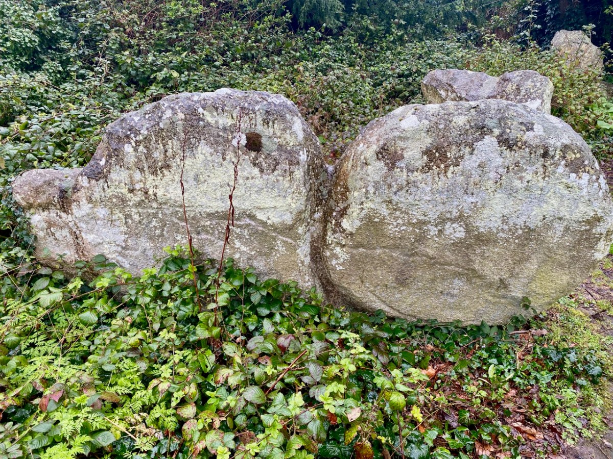
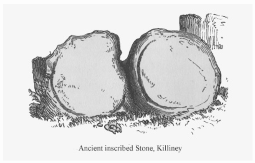
The Archaeology.ie write-up is accurate. In addition to the ‘chair’ (which Finola is elegantly modelling while trying not to sit in a puddle!) there are two further irregular granite boulders – but one of them (detailed in the T H Mason photograph) looks like two circles – hence ‘sun and moon’ – but is in fact a single boulder, here seen from the ‘front’ face:

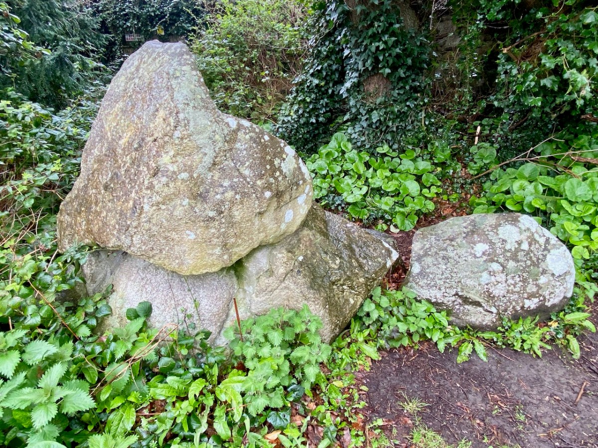
The right-hand side of this stone has some marks carved on it (by human hand) – possibly part of a large circle that outlines this half, while the vertical ‘groove’, central to the boulder, also appears to have been chased out. It’s worth noting as well, perhaps, that there are two small holes drilled on the back face of this stone, one on each side but not aligned on any centre. Additionally, there is also a small hole drilled on the back face of the second stone:

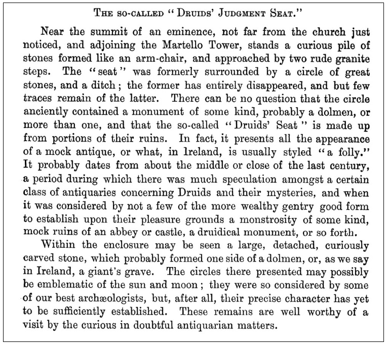
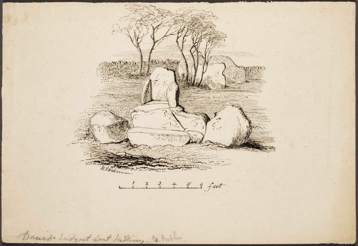
This article – by William Wakeman – appeared in The Journal of the Royal Society of Antiquaries of Ireland December, 1896. It introduces an element of scepticism, which we should perhaps explore. The excellent Killiney History website has collected together a number of writings and observations about this site.

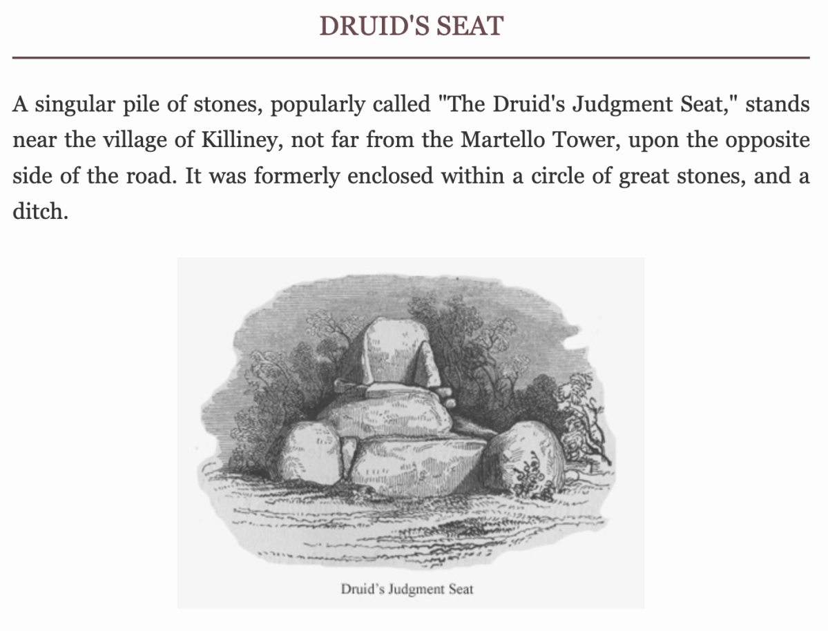
John Dalton writing in 1858 seems quite satisfied of the antiquity of the Judgment Seat. The Gazetteer of Ireland states “A well-preserved Druidical circle with its priests’ seat and its sacrificing stone, occur within a carefully kept enclosure, behind Mount Druid demesne, and near the Martello Tower, but is made accessible by the proprietor to respectable visitors.”

Killineyhistory.ie

William Wakeman, a well known antiquarian of the last century, appears to have been the first to condemn these remains as spurious. “Formerly it was enclosed within a circle of great stones and a ditch. The circle has been destroyed and the ditch so altered that little of its original character remains. The seat is composed of large rough granite blocks and, if really of the period to which tradition refers it, an unusual degree of care must have been exercised for its preservation. The stones bear many indications of their having been at least rearranged at no very distant time. Small wedges have been introduced as props between the greater stones. The right arm is detached from the other part, to which it fits but clumsily. The whole, indeed, bears the appearance of a modern antique, composed of stones which once formed a portion of some ancient monument.”

Killineyhistory.ie

These photographs were taken by William Frazer in 1898. The arrangements of stones at that time are very similar to what we see today – well over a century later – but with far less growth of ground cover.

Above: Druid’s judgement Seat, Killiney – from Library of Ireland archives.

Elrington Ball [1863–1928] confirms this view of the Druid’s Judgment Seat. The stones of which it is composed formed part of a Sepulchral memorial dating from very early times, consisting of three small cromlechs, surrounded by a circle of upright stones about 135 feet in diameter, and, at the time of its first attracting attention, in the 18th Century when everything prehistoric was attributed to the Druids or the Danes, it was assumed to be a Pagan Temple . . . Near the circle was discovered at the same time an ancient burying place, and some stones with curious markings, which are still to be seen. The burying place was of considerable extent, the bodies, which were enclosed in coffins made of flags, having been laid in a number of rows of ten each . . .

Killineyhistory.ie

Finally Woodmartin [Traces of the Elder Faiths of Ireland 1902 Vol 11] makes the sweeping statement: the entire structure leaves the unmistakeable impression of very modern fabrication, and it is a mere clumsy attempt to gull the public . . . As seen to-day these relics of antiquity present rather an unlovely picture, in an obscure and ill-kept corner, surrounded by an unsightly hedge, where weeds and brambles share their ancient sanctity; they seem to arouse but little interest . . .

Killineyhistory.ie

Today, the jury seems to be out on what we are looking at on this site. Time has undoubtedly changed the shape of things: wouldn’t we like to go back a while and see the burying place of considerable extent with all those . . . bodies, which were enclosed in coffins made of flags, having been laid in a number of rows of ten each . . . ? But we do appreciate that a former landowner must have donated the land to excite our interest!

A good tailpiece from William Wakeman

Mason’s Islands of Ireland

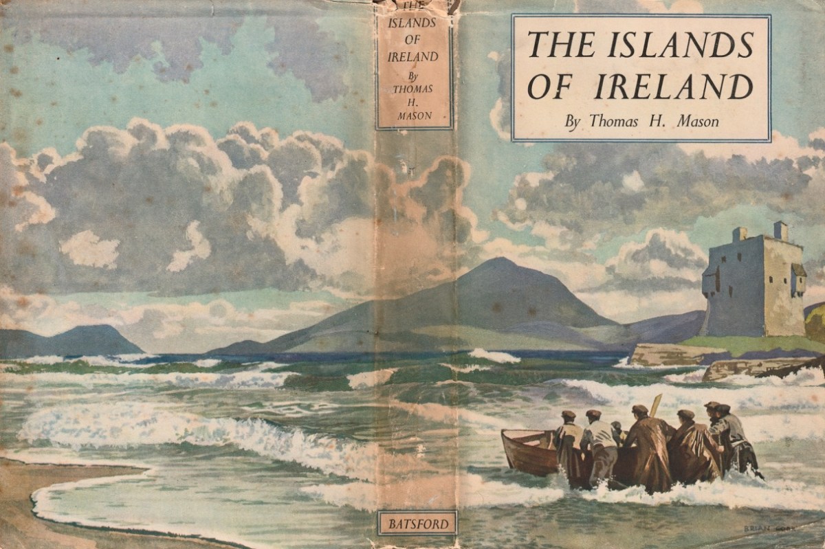
We’ve had a book on our shelves for years, and it has been overlooked: The Islands of Ireland by Thomas H Mason.

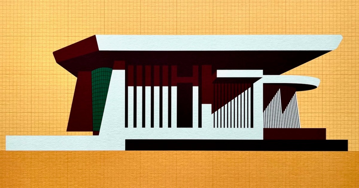
Here’s the wonderful cover, and anyone who knows their books will be aware that it’s published by Batsford, and has a cover painted by Brian Cook. Our copy is well weathered, but still recognisable as the work of Cook: the graphics are very distinctive.

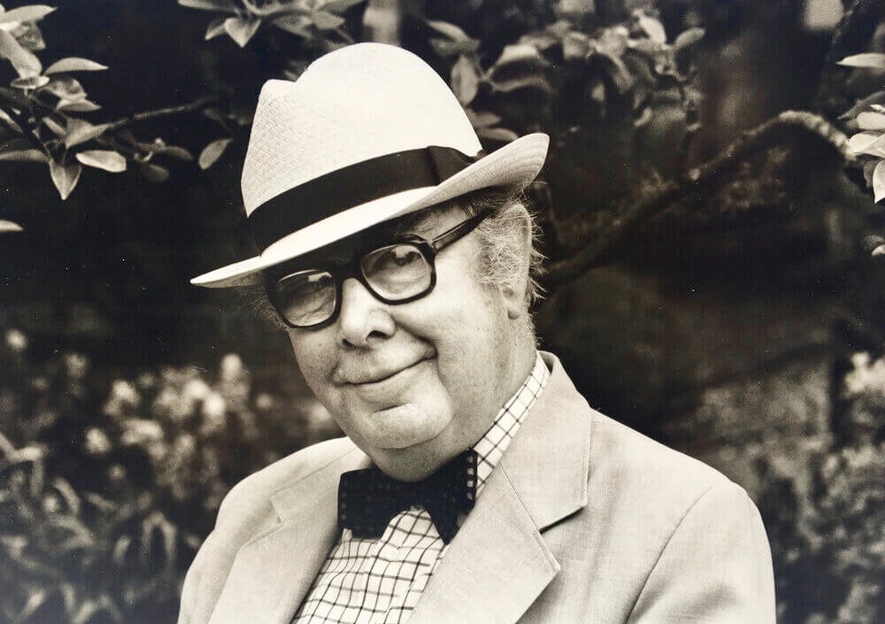
This is Brian Cook – in fact he is known as Sir Brian Caldwell Cook Batsford, and he lived from 1910 to 1991. He added the name ‘Batsford’ when he became Chairman of the publishing firm: his mother was a Batsford and his Uncle Harry headed up the firm for many years, although it had been founded back in 1843. Those of my generation will remember the very distinctive cover illustrations, all produced by Brian – with a mid-20th century style – and many still used to this day.

Another of Brian Cook’s book covers – showing the North Devon coast, not far from where I lived for many years. The Batsford Countryside, History and Heritage series included The Spirit of Ireland by Lynn Doyle (1939), and The Face of Ireland by Michael Floyd (1937). Many of the early books are now considered collector’s items, so we are fortunate to have The Islands of Ireland close at hand.

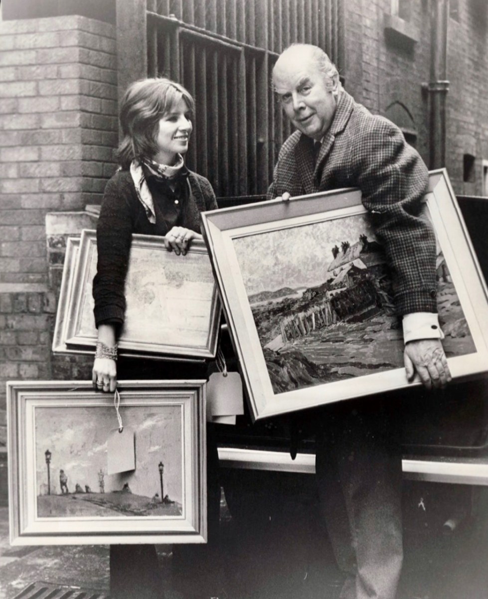
Brian Cook and his daughter, Sophie, in March 1970 (Evening Standard Library). Having had a quick run-down on the cover artist, let us now look more closely at the writer,Thomas H Mason: an article in the Irish Times – Oct 22 2003 – provides a background to the Mason family. They go back to the early 1700s and are described as ‘The oldest family business in the State’. When Seacombe Mason set up his own business at 8 Arran Quay, Dublin,

. . . His list of sale items included “telescopes, glasses, microscopes, concave and opera glasses, celestial and terrestrial globes of all sizes, electrical machines with apparatus – goggles for protecting the eyes from dust or wind, ditto for children with the squint . . .

Irish Times

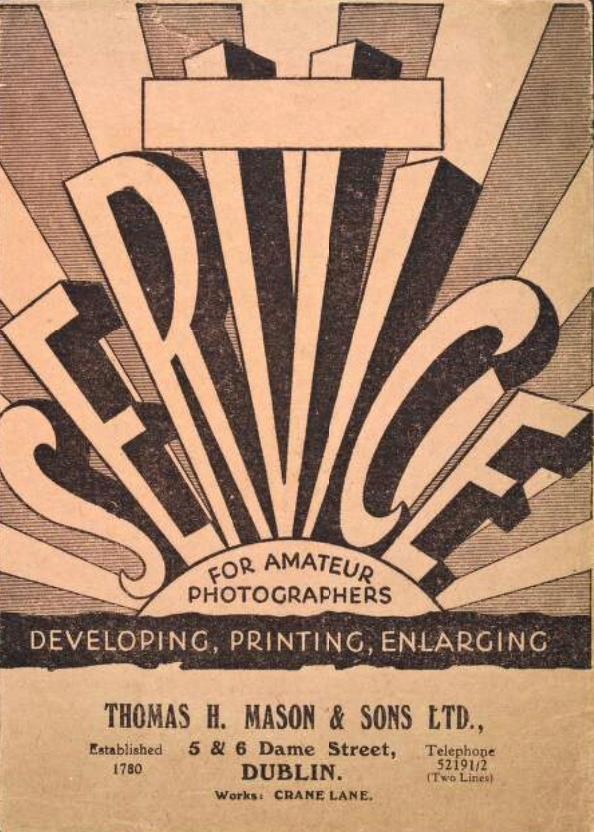
The descendants of this early business – now Mason Technology – are based in Dublin, Cork and Belfast, but it’s Thomas H who interests us. Thomas Holmes Mason was born in 1877 and died in 1958, having moved the company into a new sphere. His grandson, Stan explains:

. . . In the late 1890s he introduced photography to the business in the form of picture postcards. We went on to become the biggest producer of picture postcards in Ireland, right up until the 1940s. My grandfather was interested in archaeology, ornithology, historical sites on the islands off Ireland, interests which brought him all over the country with his full-plate camera. He built up a huge and very fine collection of pictures which, unfortunately, were destroyed by fire in 1963 . . .

Irish Times

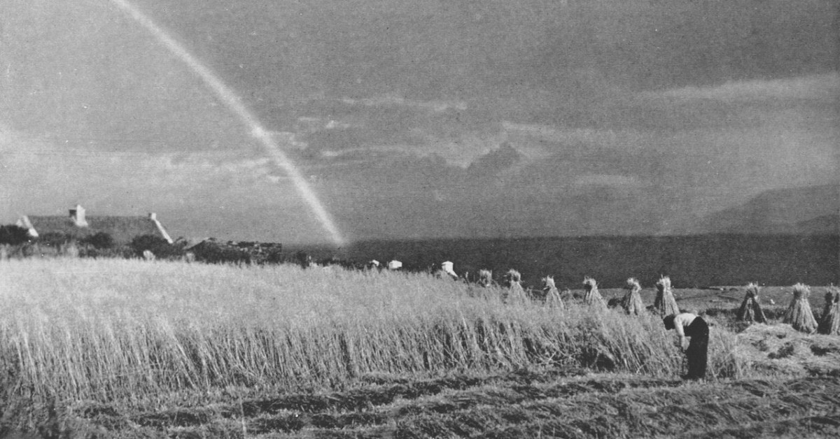
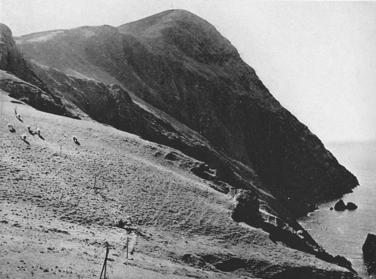
Examples of the photography of Thomas H Mason, also the header: views of Clare Island, Co Mayo. Initially, the ‘Islands’ book seems slightly disappointing: we would like to have seen something of the islands in our part of the west: Roaringwater Bay. But these do not get a mention!

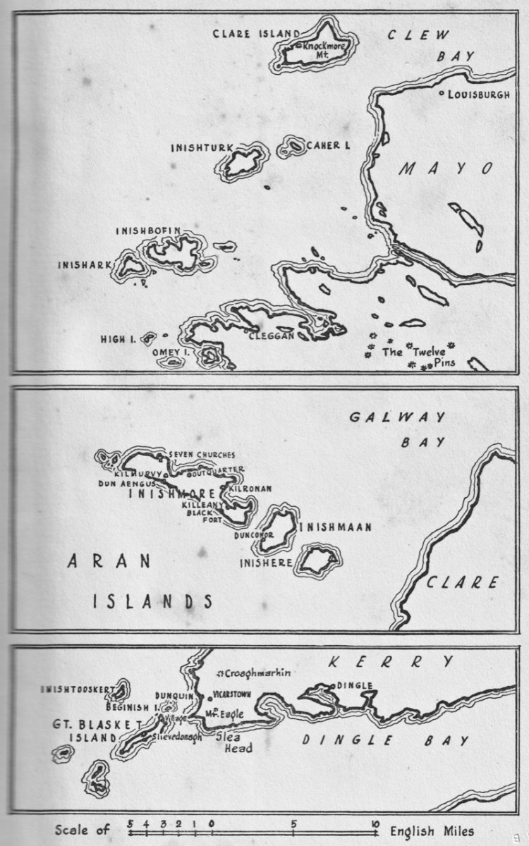
Key: the map in the book, which covers islands in Mayo, Clare and Kerry. Perhaps a further volume might have set out to include the south-west? But – what Mason has given us is a fascinating photographic insight into life on the Blaskets when they were still inhabited; and sketches of the worlds of the Aran Islands and the Mayo islands from nigh on ninety years ago.

These two photographs show Clare Island during Mason’s visits in the 1930s. Note the castle, above, also included on Brian Cook’s cover painting. That is -of course – the headquarters of Gráinne Mhaol, probably better known as Grace O’Malley (1530 – 1603) – Ireland’s Lady of the Sea. But her story is far too long to tell here: she will have a post of her own in the future! Granuaile Castle overlooks Clew Bay, in Co Mayo.

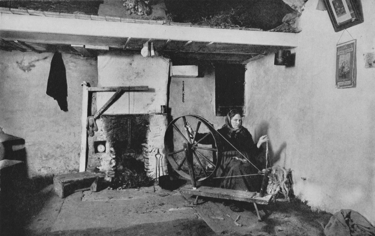
The last image for today, from Thomas H Mason: Blasket Island Cottage. This is an invaluable record of a remote way of life: perhaps ‘timeless’ – apart from the clock in the alcove by the fireplace!

Look out for more from this writer and photographer – and more about ‘the Lady’ too!

The Storied Way to Beara

You know we love the beauty of West Cork, and we can’t resist the odd foray into all our neighbouring parishes. They are perhaps a bit wilder and higher, with markedly remote open spaces. So here’s a little wander on to the Beara Peninsula and beyond: I have raided our archive of photographs to enthuse us – and, hopefully you – to travel those roads in the coming spring. Firstly, have a look at this:

There’s a house down there, nestled under some spectacularly steep fields! This is to remind you that you have to up the scale a bit if you are stepping across the county boundaries. This Kerry landscape is such a contrast to our own seascapes and islands. We have our hills, of course: Mount Gabriel was in the news this week because of the gorse fires which lit up its summit. Such fires are allowed up until the first of March – by longstanding tradition – to clear the land and improve the grazing. It all seems a bit incongruous, though, when governments are planning to outlaw wood-burning stoves because they lead to poor air quality, and we are being advised by the HSE about the adverse health effects of air polluted by smoke and ash. Fire on Mount Gabriel 26 February 2023 – photo by Magnus Burbankscourtesy Southern Star:

Let’s leave that argument – and the drama – for others to debate, and return to the colour and spectacle of our neighbours. Below are fishing boats tied up in Castletown-Berehaven. You’ll note that ‘Iolair’ is registered in Skibbereen. If this seems strange, remember that our West Cork town on the Ilen River is still the Port Of Registration for all shipping on the south-west coast of Ireland between the jurisdictions of Cork and Limerick. My recent post on the Ilen described Skibbereen as “. . . a settlement served by water . . .” with perhaps up to nine historic quays and a Custom House located within the town in its heyday of commercial vessels working on the river. Present day Shipping registrations are administered by Customs & Excise in Bantry, even though the prefix ‘S’ (for Skibbereen) is still used – a somewhat quirky anomaly: the Custom House in Skibbereen was closed in 1890!

The people of the Beara Peninsula quite likely think of themselves foremost as an entity, rather than a mixture of Corkonians and Kerry people. In Eyries a Seanchaí – or storyteller – is celebrated: Pádraig Ó Murchú. His story is a somewhat sad one, certainly not untypical of many remote areas in Ireland. He was born in Gort Broc (Gortbrack, Co Kerry – north of Kenmare Bay) on 15 February 1873. His parents were Seán Ó Murchú whose wife Máire Harrington. (‘Caobach’) and he had four sisters and two brothers. Five of them, the boys and three of the girls, went to Butte, Montana. Seán died in Gort Broc at the age of 47 when Pádraig himself was a young boy. None of his forebears ever returned home but he would receive a letter every now and then from one of his aunts. Folklorist Martin Verling states that 707 men and 431 women emigrated to Butte from the parish of Aorí between 1870 and 1915. An account of how his great-grandfather, Seán Ó Murchú, settled in Kerry was taken down from Pádraig’s mouth (or Patsy as he was called): Seán was abducted by one of the ‘Cithearnaigh’ (a name given to certain Irish landlords in Beara) in Kerry and sold in France as a slave. When he managed to escape, he landed in Beara.

Commemorating Pádraig Ó Murchú in Eyries

Measles affected Pádraig’s eyesight so badly that he was given a blind pension; ‘flickering’ left him unable to read or write. He spoke English fluently, with Irish his native tongue. Until she died in 1923 his mother lived with him, and it fell to him to tend to her during the decline of old age. He earned his living by farming and fishing and was always in good health, apart from his eyesight. Writer and folklorist Máirtín Verling recorded memories of him from men who were young boys during Pádraig’s old age. Pádraig was part of a culture now vanished, and Verling states “. . . the day Pádraig Ó Murchú was lost as an old man – the habit of storytelling, and the habit of speaking Irish, died together in Béarra . . .”

Map of the Beara Peninsula from the Royal Society of Antiquities of Ireland, T J Westropp 1919. Principal archaeological sites are indicated.

These Beara landscapes are typical of the remote grandeur of the territory. Human settlement has encroached upon it – the patchy forestry plantations above are unnatural and uninspiring – but there are sufficient wild prospects remaining to ensure that the all-embracing beauty can never be eroded. Plenty of living history remains in evidence.

Archaeology, colour and community are all part of the local scenes on the Beara. The tourism industry is undoubtedly thriving, bringing fresh life with it.

We hope you will agree that the Beara – whether it’s Cork or Kerry – is deserving of a visit – and a stay: you have to delve deeply into the lifestyle and traditions. Enjoy!

(Above – the work of stained glass artist George Walsh. A visit to the little church in Eyries to take in more of this is a must)