The Elusive Lighter (Sweet Ilen – Part 8)

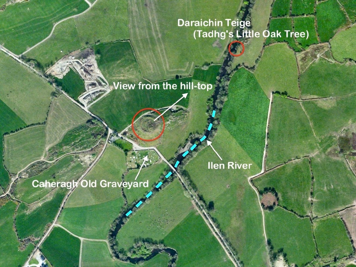
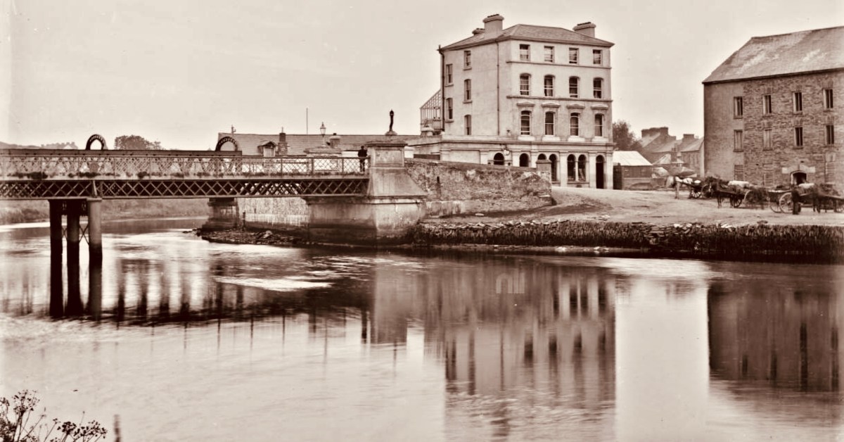
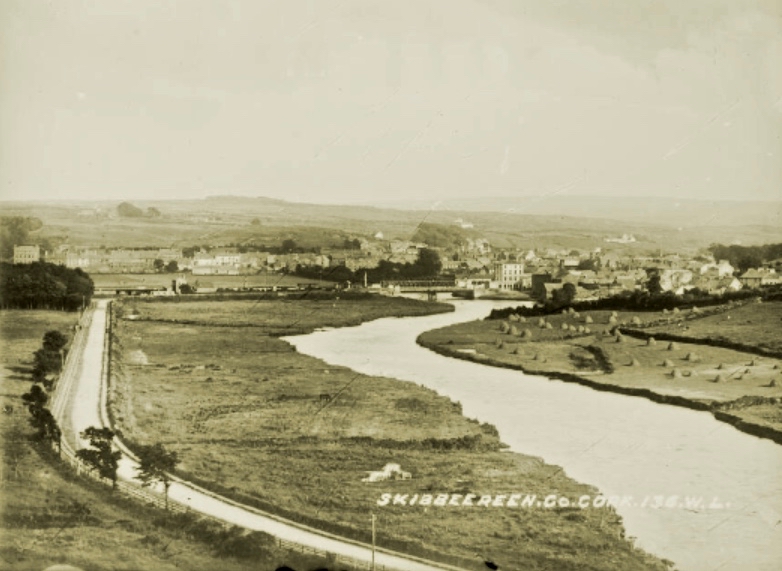
This photo of the West Cork Hotel beside the Ilen River, Skibbereen (courtesy of the NLI Lawrence Collection) captures a moment in time. It was taken in the very early 20th century – probably before 1910. Clearly seen are the hotel itself – opened in 1902 – the old iron road bridge which was superseded in 1964, and the railway bridge behind it carrying the line to Baltimore (which was opened in May 1893). That bridge still exists, of course, although the line closed in 1961. To the right of the photo is the Old Steam Mill, originally constructed as a flour mill by Thomas Marmion in the 1830s. This building stands on Steam Mill Quay.

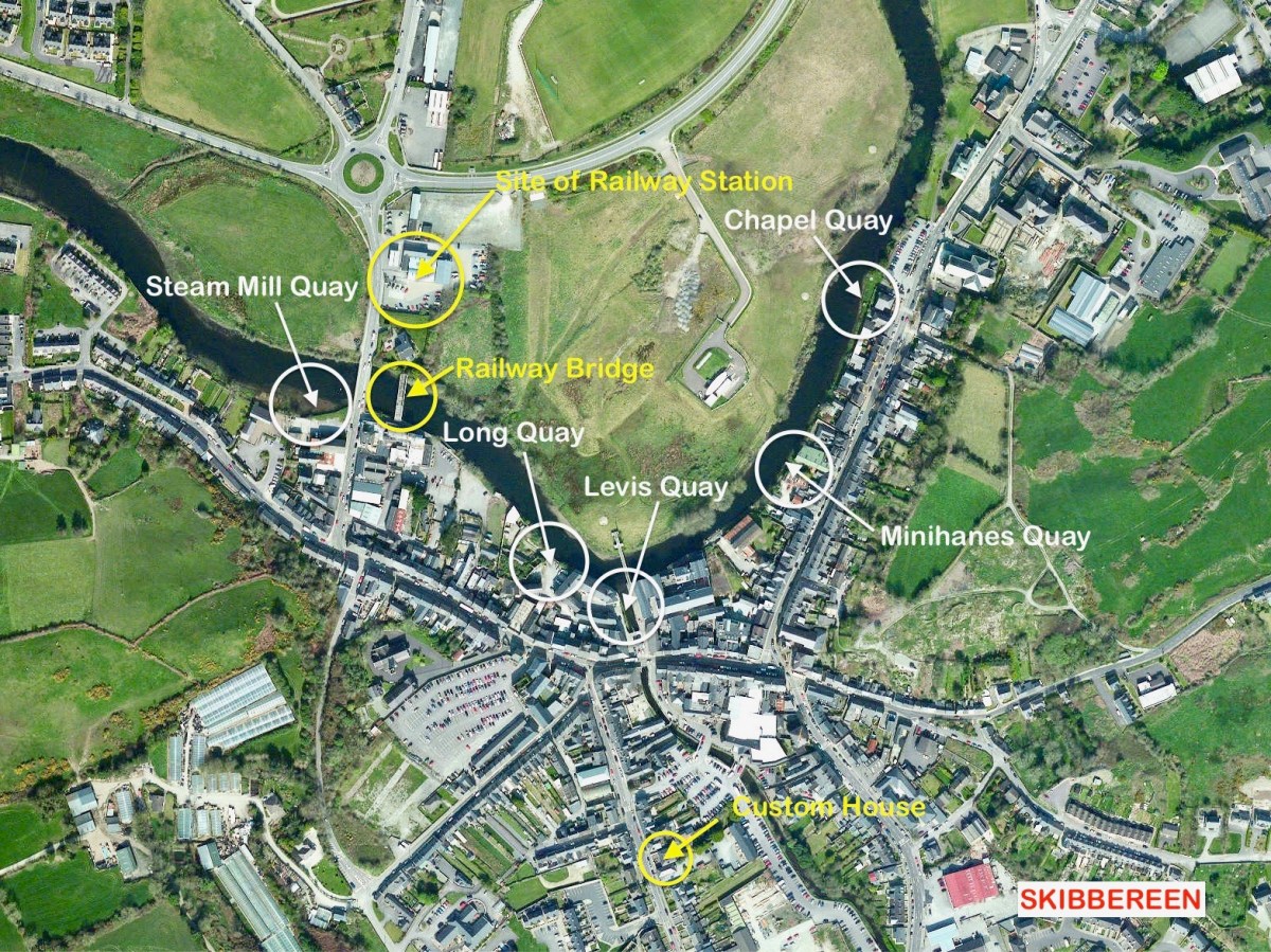
The Irish name for this town, an Sciobairín, is said to mean a small inlet for docking boats. Steam Mill Quay is the first of five quays which served the town, suggesting a period when the river itself (tidal to just north of the town) was the life blood of the community:

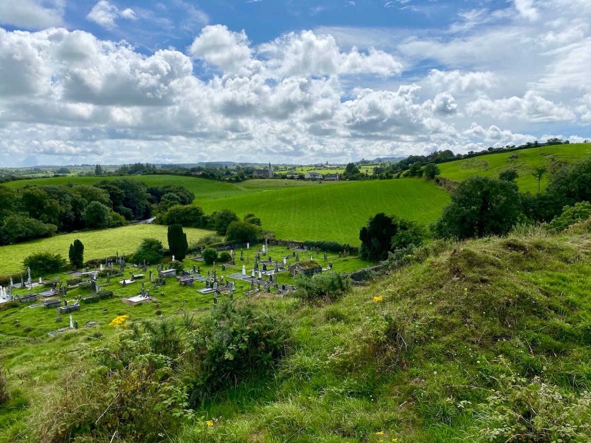
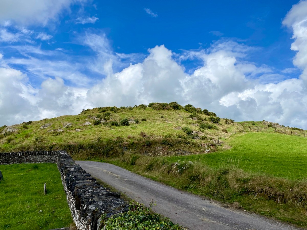
. . . Skibbereen was a settlement served by water. The River Ilen is tidal and in the early 19th century boats of up to 200 tons could navigate to Oldcourt, within two miles of the town centre. From there goods were transferred into ‘lighters’ (unpowered barges) and then brought into the quays where there were warehouses and a Custom House. Now, sadly, Skibbereen’s waterfront is a bit neglected and its active past shipping history is no longer obvious. Five historic quays have been identified along the river: Steam Mill Quay, Long Quay, Levis Quay, Minihane’s Quay and Chapel Quay . . .

Roaringwater Journal

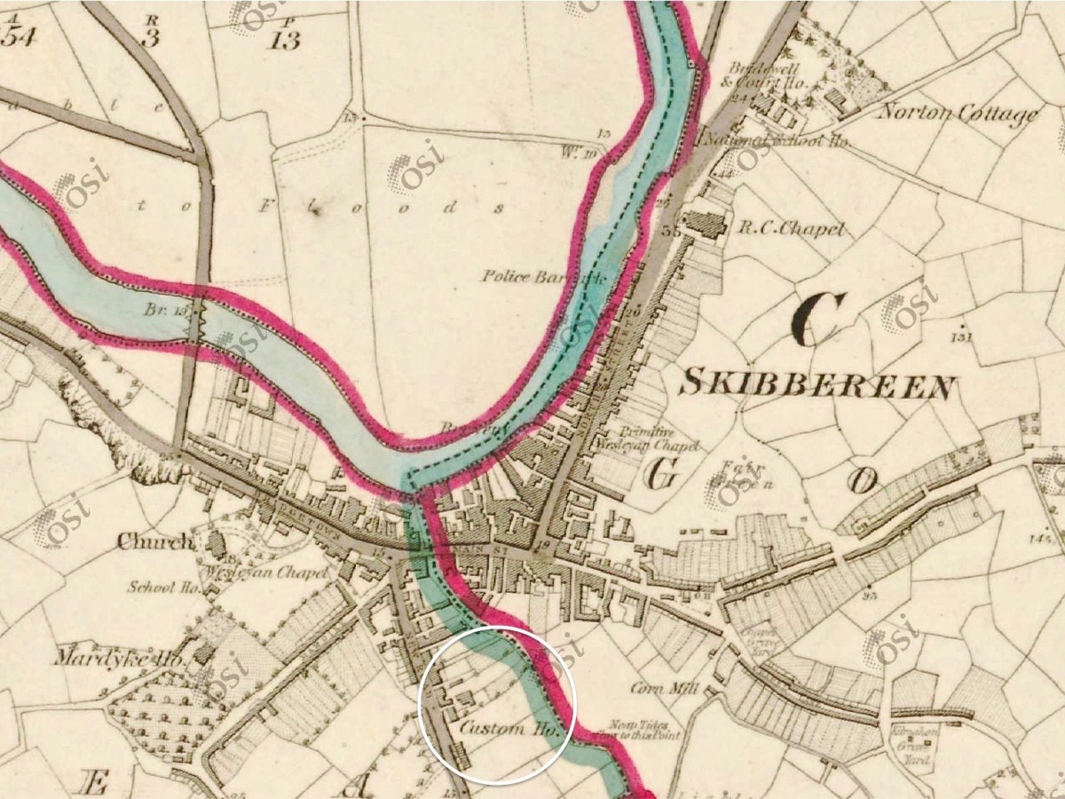
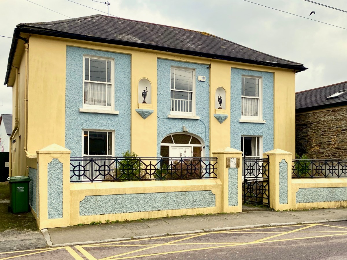
Here is the Custom House – now a private residence on Townshend Street. The first edition of the OS map (above the photo) marks the location. It’s a fine building, clearly of some standing, with its decorative niches and curved fanlight. The existence of this building in the town emphasises the historic significance of importation and trading of commodities, probably primarily by water transport, to Skibbereen when it was operating. I was surprised to find that Hansard – the official record of the actions of the British Parliament – has one entry pertaining to the Skibbereen Custom House. From it we learn that its business was transferred to Bantry in 1890, and that this was a cause of concern to some of the townspeople and local fishermen:

. . . DR KENNY (Cork, S) I beg to ask the Secretary to the Treasury whether he is aware that owing to the transference of the Custom House from Skibbereen to Bantry very great inconvenience and injury are caused to the Baltimore fishing industry; whether, according to existing Customs arrangements in Skibbereen. the Deputy Officer of Customs in that town is unable to give permission for the discharge of cargoes of ice absolutely essential for the preservation of the fish caught by the Baltimore fishermen, and also that it is impossible for him to obtain permission by telegraph from Bantry to do so, and whether, in consequence, steamers for conveying the fish have to wait at Baltimore the arrival from Bantry, 24 miles distant, of the Superintendent of Customs; and whether he will take steps to have abated the inconvenience complained of, by restoring the Custom House to the Skibbereen district?

Hansard record of Commons Sitting 08 May 1890 § 469

There is a further record giving the response by the then Secretary to the Treasury: it lacks sympathy!

. . . Mr. JACKSON (Leeds, N) I am informed that it is not the fact that very great  inconvenience and injury have been caused to the Baltimore fishing industry through the transference of the principal Customs Offices for the Port of Skibbereen from Skibbereen to Bantry. The Board of Customs have ascertained that no delay has been caused by this change in the discharge of any vessels, nor need any delay or inconvenience be occasioned thereby, as the Officer of Customs still stationed at Skibbereen is now empowered to deal with any Customs business, there or at Baltimore, that may require attention, under exactly the same conditions as were in force previous to the change referred to. No occasion has, therefore, arisen for making any alterations in the. present arrangements . . .

Hansard record of Commons Sitting 08 May 1890 § 470

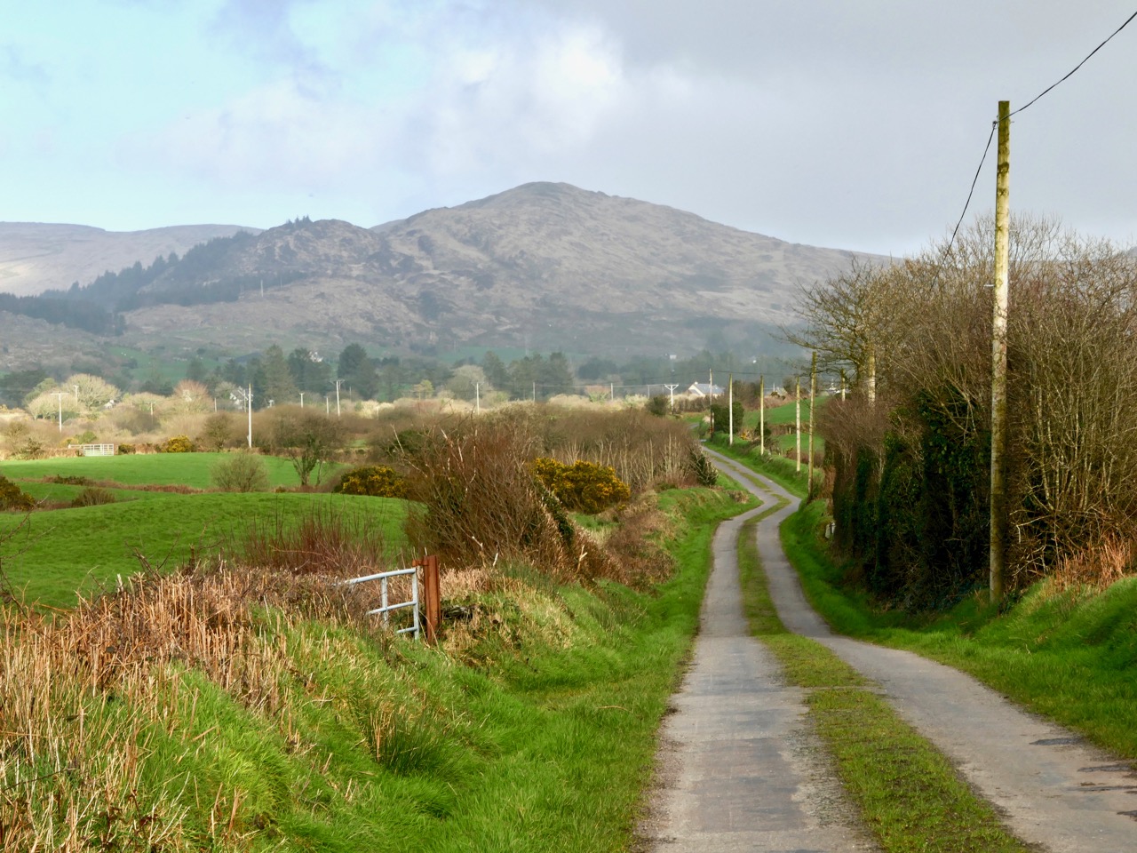
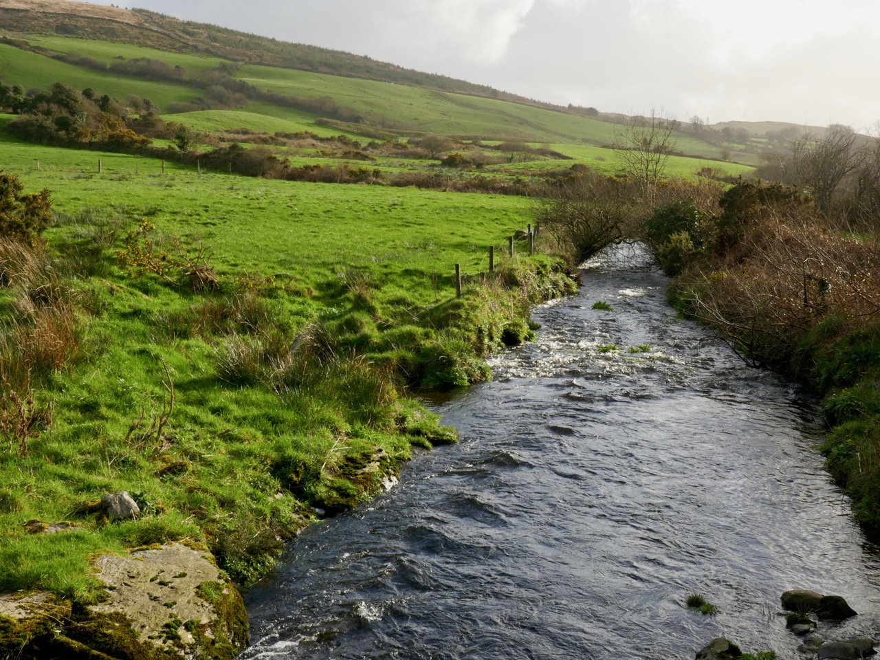
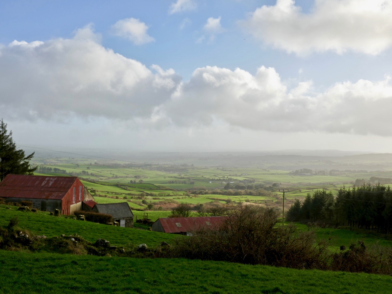
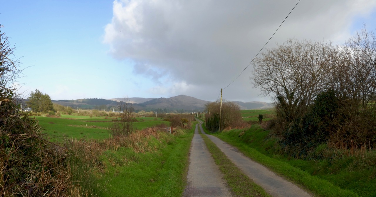
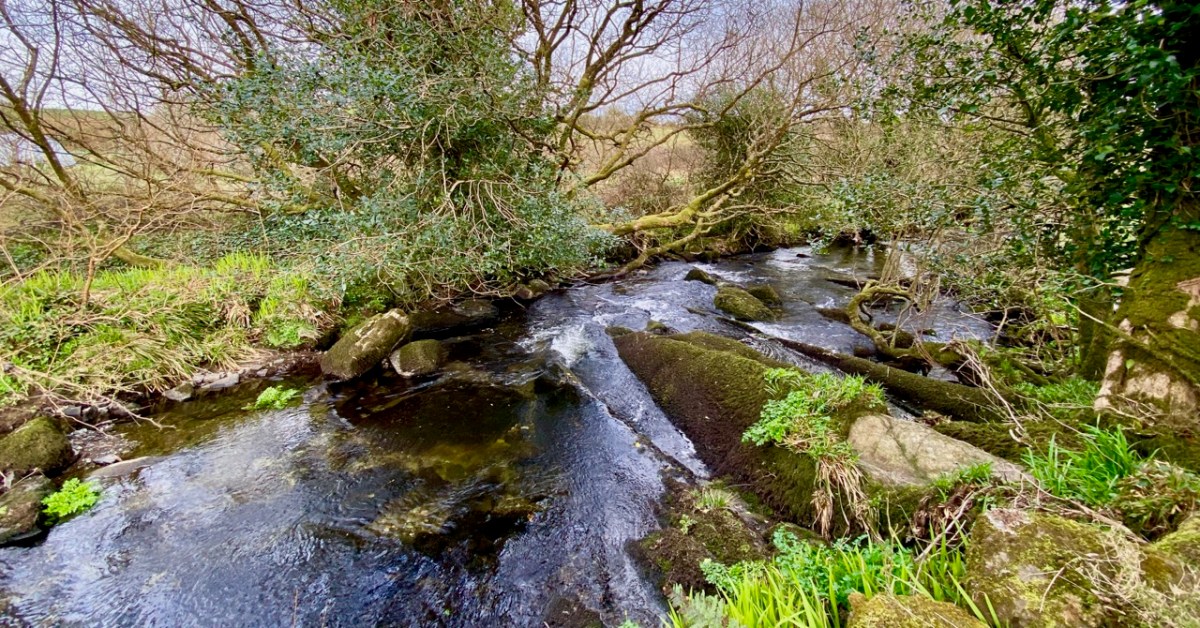
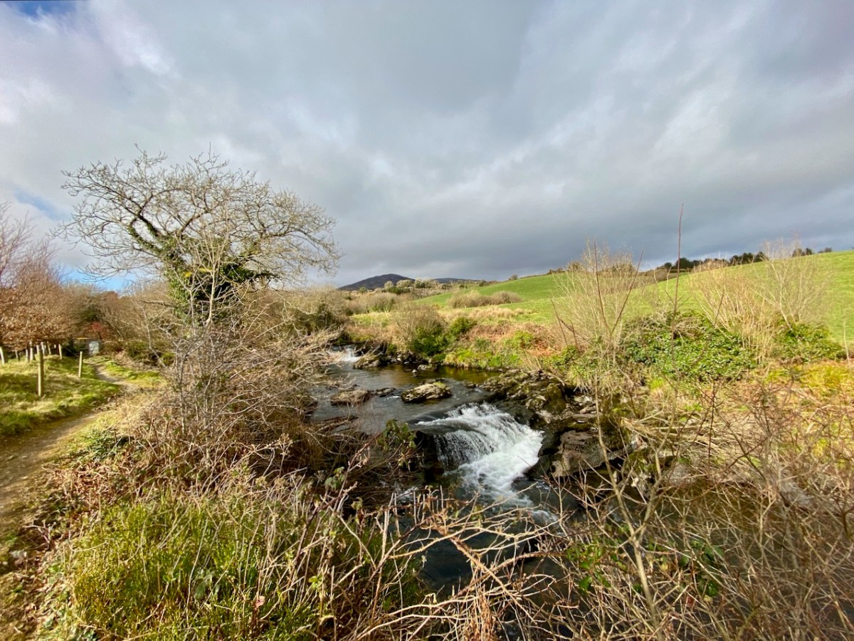
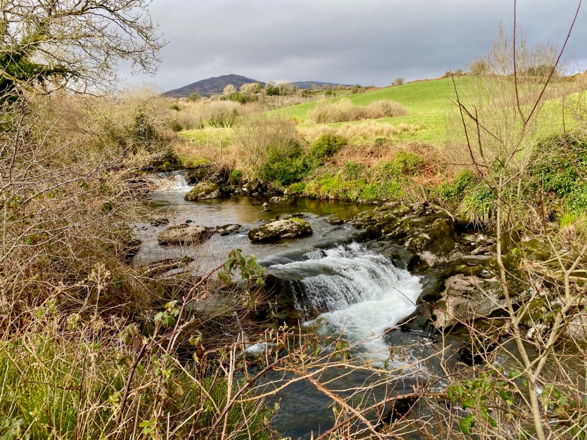
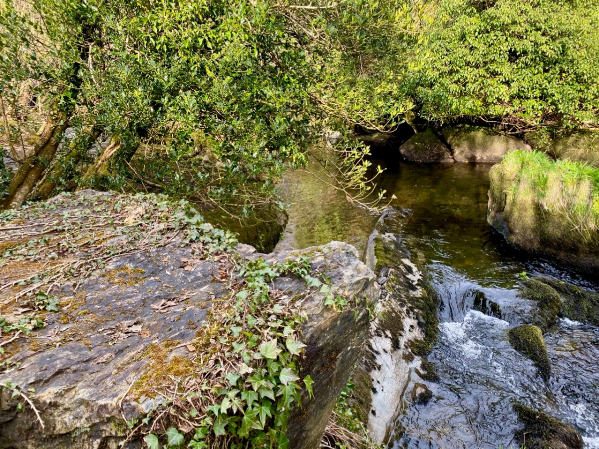
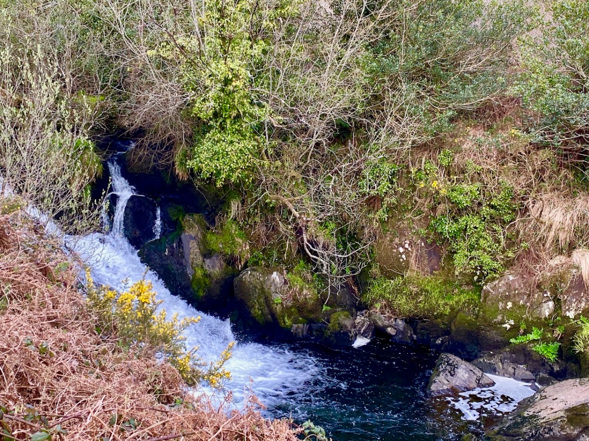
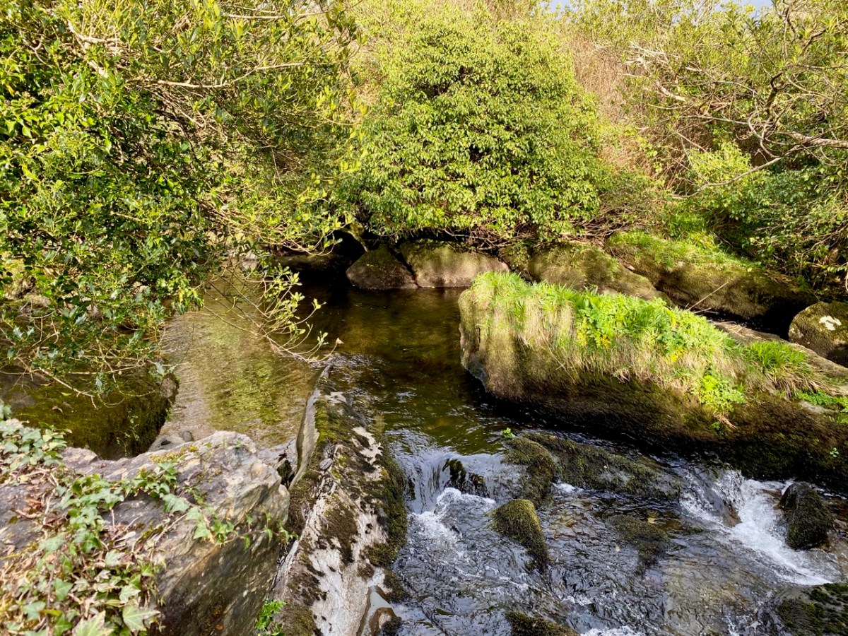
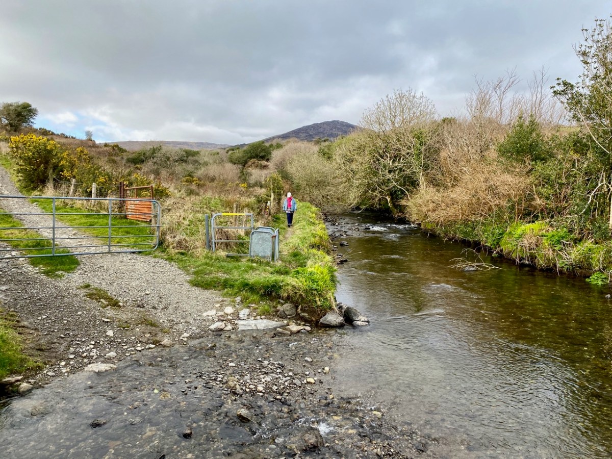
Here’s a distant view of Skibbereen from the west, probably taken in the early 20th century (courtesy of the NLI Lawrence Collection). On the left, the roadway (today’s N71 going from the town towards Ballydehob) has the track of the Schull railway (or – more properly – ‘tramway’) on its verge. The old bridge into town and the West Cork Hotel are visible, as they are in the header picture. What is noticeable is that there is no sign of any navigation of the Ilen River. I have looked carefully through over 200 early photographs of the town and it is the case that none shows any river craft. Hence my title today (and I apologise for taking a long time to get to this) The Elusive Lighters. We have no detailed records of any boats that used the river, and the quays, except that they were shallow-drafted unpowered barges. The term ‘lighters’ usually refers to ‘dumb’ boats (unpowered) used to offload cargoes from ships and transfer these to quays further inland. How were the Ilen boats built, and what did they look like?

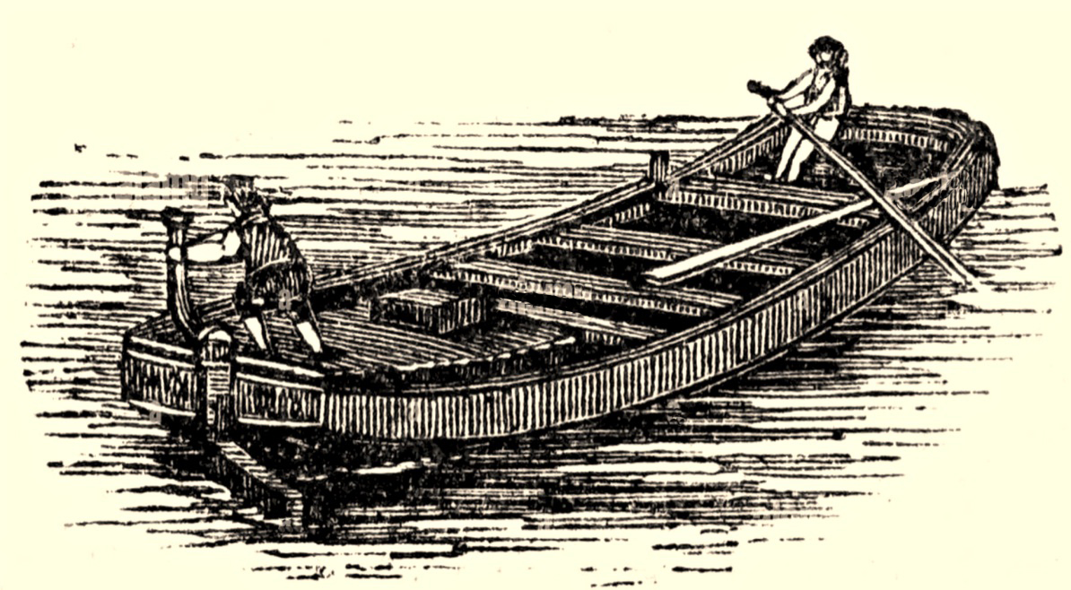
Here’s a guess – something I found in an old engraving (not from anywhere in West Cork). The boat is being ‘poled’ or swept along by a figure with a large oar, while a ‘steerer’ handles the helm. It would almost certainly have been built from timber. After a coaster, steamer or sailing ship arrived and moored at Oldcourt, the cargo would have been offloaded to the lighter, which would have to await a rising tide before setting out for Skibbereen. The return journey would have to be carried out when the tide was falling.

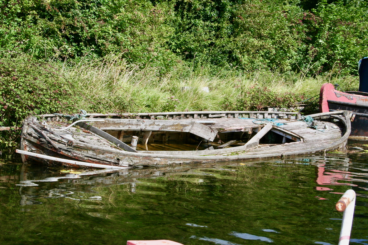
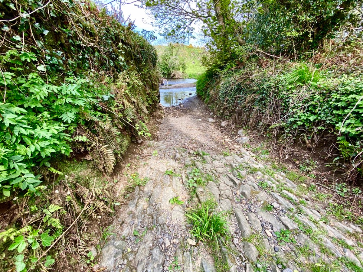
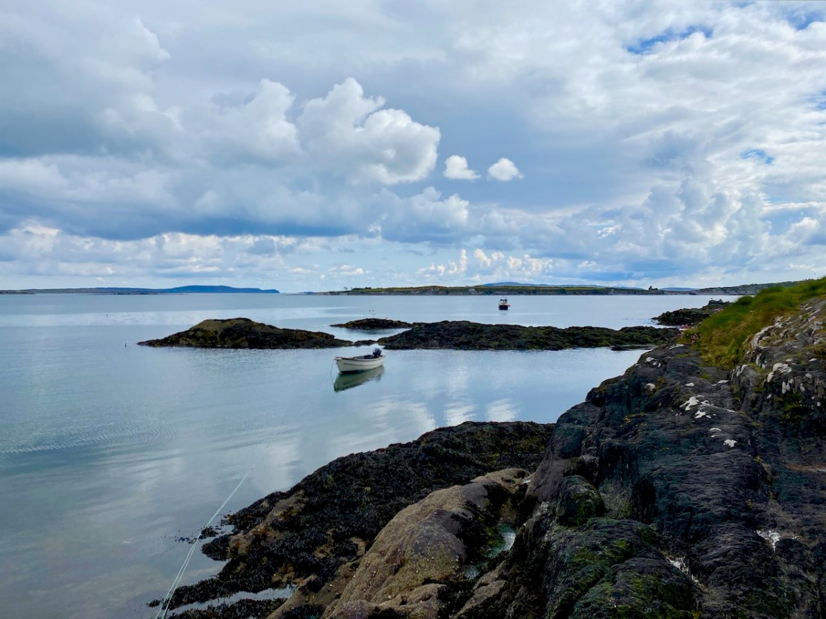
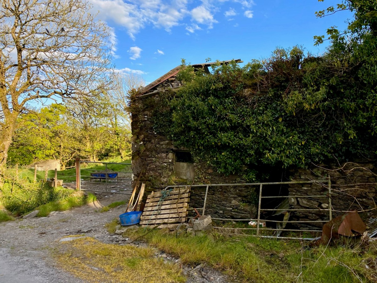
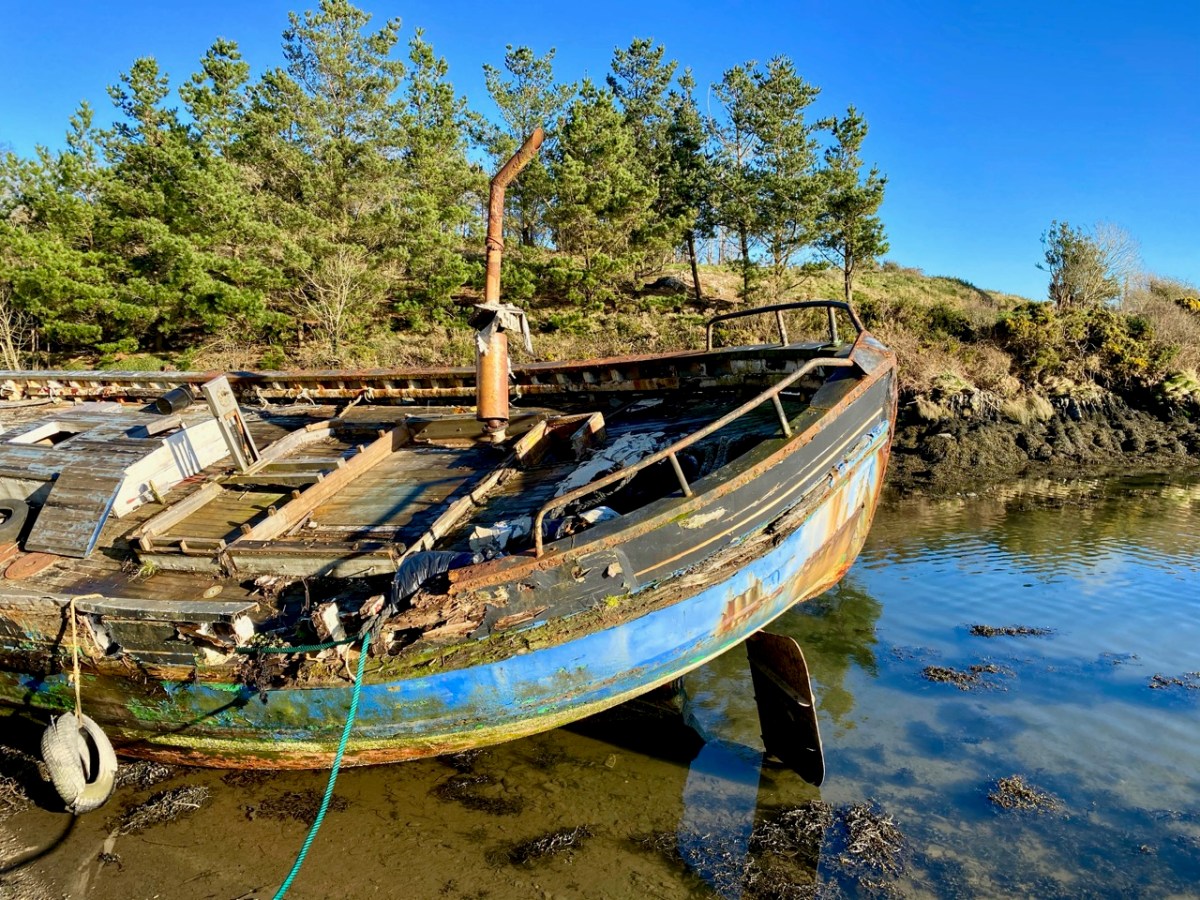
It would be great to find the remains of such a boat on the Ilen, but very little would survive of a working craft dating back over a century and a half. The wreck above is on the River Barrow Navigation at Lowtown. Here’s another old wooden boat which lay beside the tidal Ilen itself a few years ago: it may still be there!

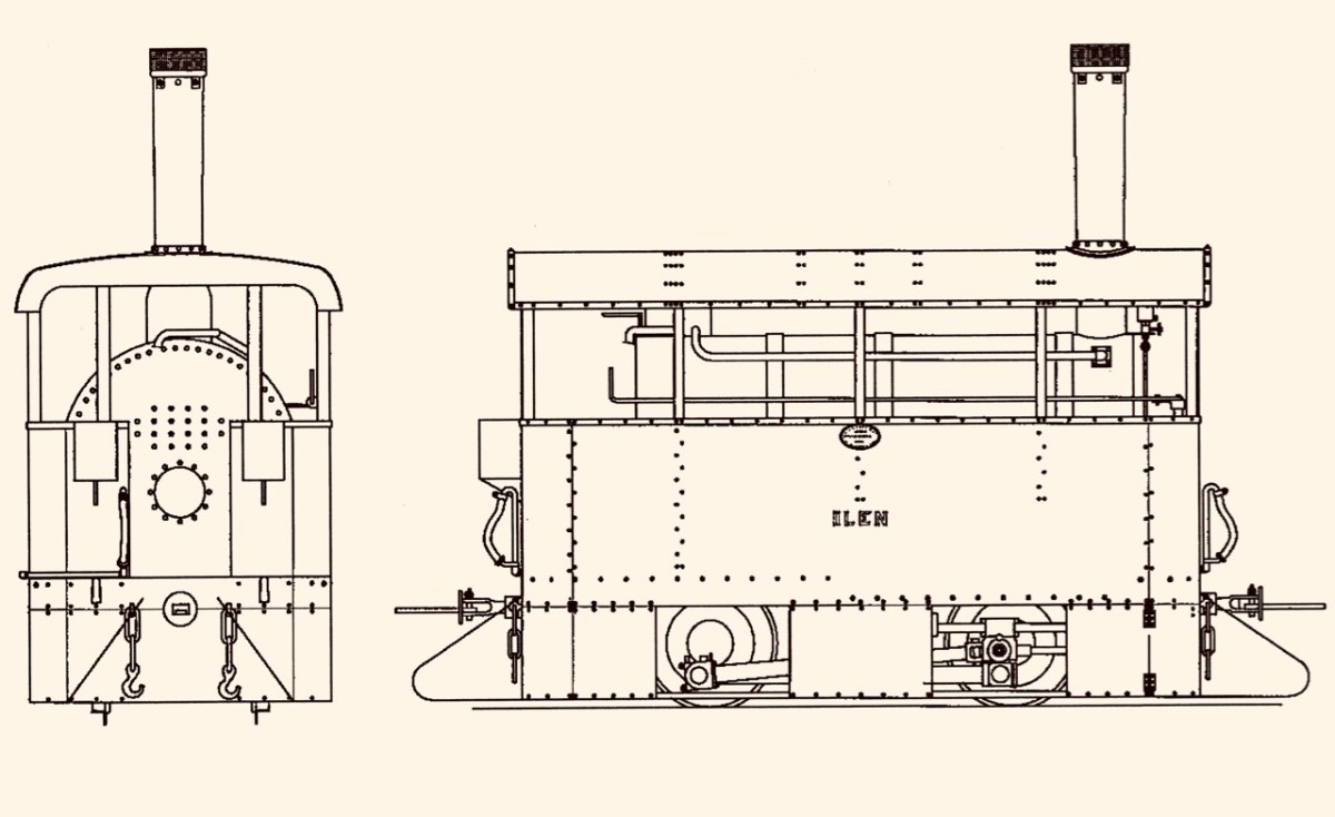
While my nostalgic soul would like to think that some trace might remain of the old Ilen boats and the quays that they served, I know that is unlikely. River traffic on the tidal Ilen would have been in its hey-day in the early part of the 19th century and would have been affected by the sufferings of the Great Famine which heavily hit Skibbereen. After some recovery, the arrival of the railway line from Cork in 1877 ensured that river trade could no longer survive: it’s ironic, perhaps, that the first locomotive on the Skibbereen to Schull tramway was named Ilen.

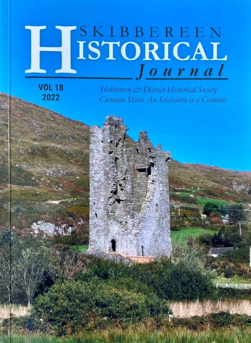
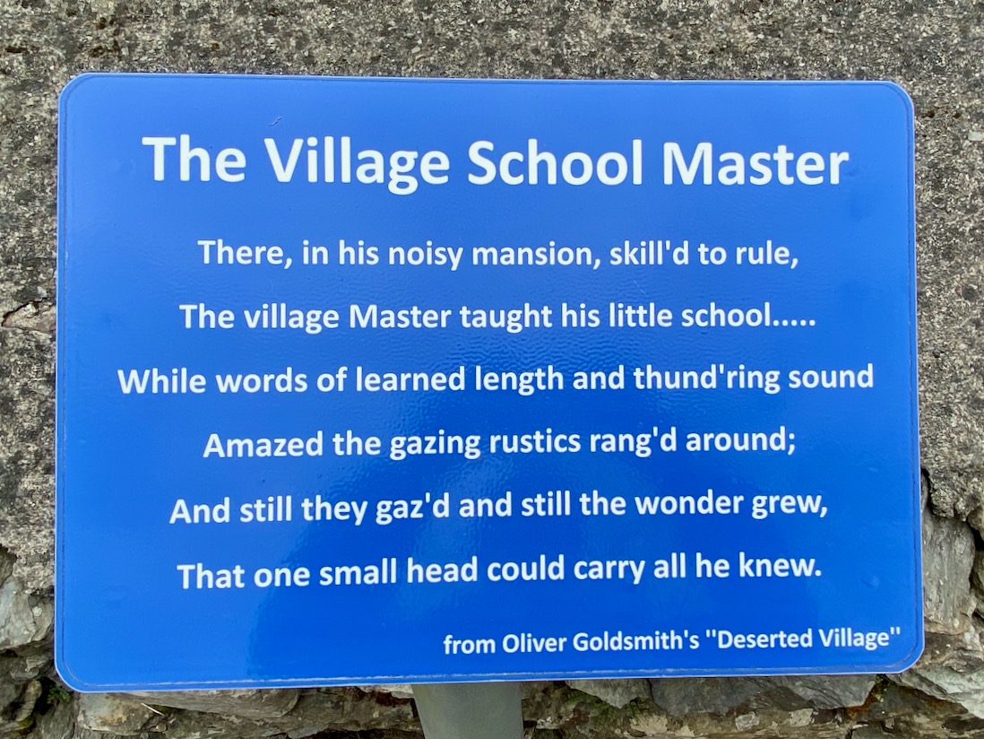
This post is the latest of a series that studies the full length and history of the Ilen River. Previous posts can be found here: Sweet Ilen : Sweet Ilen – Part 2 : Sweet Ilen – Part 3 : Sweet Ilen – Part 4 : Sweet Ilen – Part 5 : Sweet Ilen – Part 6 : Sweet Ilen – Part 7. Volume 18 of the Skibbereen Historical Journal (2022) includes an article Sweet Ilen – the story of a river: Part 1 – Source to Tide penned by myself. This is to be joined by a second part in this year’s Journal. Look out for it!

Here’s a link to the ever fascinating Skibb Historical Society, while the Journals can be purchased through this link.

Swanton’s Store on Levis Quay, Skibbereen a few years ago. Many thanks to the Skibbereen Heritage Centre for this image

Abhainn na Seangán – River of the Ants – A Look Back

Another post republished – to keep the Journal going while we are taking a little break. This one was first put up nearly four years ago. I still find the name of this topological feature intriguing. So let’s have another look at it . . .

What’s in a name? In Ireland – quite a lot, usually, although the meaning often takes some searching out. Perusing Ordnance Survey Ireland sheet 85 on a late February afternoon when the sun miraculously appeared and lit up a countryside ripe for exploration, my eye was drawn to a river running through the hills to the east of Bantry: Owennashingaun. How could you overlook such a name? And how could you not be intrigued by the Irish place-name which must have preceded it before the surveyors put their anglicisation to it: Abhainn na Seangán? Even better was the discovery of the meaning of this name: River of the Ants!

Our byway heading into the hills

With high expectations we set out, with Finola at the ready with her camera. As with all West Cork locations, Abhainn na Seangán is but a few paces from Nead an Iolair, as the crow flies. Pausing only to pick up our friend Gill in Ballybane West along the way, we were soon heading north for the foothills of Mullaghmesha (Irish: Mullach Méise – Summit of the Altar).

Turning north at the Cullomane Crossroads on the R586 we almost immediately crossed the Owennashingaun River (I’ll use the Anglicised version as that is what usually appears on the map). Here it’s just a gentle, straight watercourse which follows the main road until it picks up the Ahanaclaurshee Stream (Irish: River of the Harp) and then becomes the Ilen River, which flows on through Skibbereen and eventually reaches the sea at Baltimore.

Glens, farms and distant highlands on our road heading for Mullaghmesha

We skirted two smallish peaks – Sprat Hill and Knocknaveagh (Irish:Cnoc na bhFiach, wonderfully ‘The Hill of the Ravens’) – before reaching the townland of Tralibane, an important Irish landmark as it was here that Captain Francis O’Neill was born in 1838. He travelled the world and had a colourful life of many adventures before being elevated to the role of Chief Superintendent of Police in Chicago in 1901. O’Neill came from a musical family in his West Cork childhood and is best known today as one of the most successful collectors of Irish Traditional Music. Here is a post I wrote about The Chief back in 2014.

From Tralibane we travelled north-east on deserted boreens, through a soft, green landscape of glens and standing stones (see the header picture), gradually rising towards more distant highlands, until we encountered again the ‘River of the Ants’. The source of Abhainn na Seangán is on the slopes of Mullaghmesha, whose peak is at 495 metres: we didn’t make it up there to look for the altar: a destination for another day. The name of the river remains enigmatic: I searched the excellent resource www.logainm.ie and found an archive record there dating from 1840 which gives the translation as: ‘river of the pismires’. I then had to look up ‘pismires’, which is evidently from early English:

1350 – 1400: Middle English pissemyre, equivalent to pisse to urinate + obsolete mire ant, perhaps Scandinavian (compare Danish mire, Swedish myra) cognate with Dutch mier; pejorative name from stench of formic acid proper to ants

There was nothing untoward with the smell of the river as we followed it – and we didn’t see any ants! So the mystery remains. Surely there must be a story embedded in local knowledge or folklore which could enlighten us?

Upper – sweeping views began to open up as the road climbed towards Castle Donovan; centre – the iconic ruined castle, which was taken into the care of the State in 2000 and has since received major stabilisation and renovation; lower – a splendid piece of signage at Castle Donovan – every possible disaster has been foreseen!

The ruin of Castle Donovan is as fine as any in West Cork, and is fortunate to be in permanent State care. Set on a plateau with the mountain rising behind it, it is an impressive focal point in the landscape, which can be seen for miles around. We passed by the castle and headed up on a rough, winding way: looking back, the silhouette of the tower house stands out with benign West Cork rolling pasture as a prepossessing backdrop.

The road very quickly becomes a true mountain pass, and an early evening haze seemed to hang over everything as we skirted the east side of Mullaghmesha. We hardly saw a soul on our whole journey, but we were eyed warily by sheep who plainly considered us intruders on their territory.

On the north side of the mountain we entered the Mealagh Valley, and were reminded of our recent adventures travelling through the Yellow Gap. Finding our way down to the lowlands again, we took our last look at the River of the Ants at Dromore, and bid it a fond farewell. In spite of its unfathomable name, it had taken us on a grand exploration. Give it a try for yourselves!

Upper, the distinctive church at Dromore, with its pencil-thin ’round tower’ and, above, our last view of Owennashingaun

Caheragh Explorer

I’ll explain at the outset that Caheragh is (more or less) pronounced ‘corer’ (as in coring apples)! It’s a parish in West Cork that we have visited before. Have a look at my article on the Ilen River, here. This locality is brimming over with history and we go exploring as often as possible: there is always more to find. And – with wide views and cloud scapes in all directions from the high ground – it’s an uplifting place, especially when blessed with the August sun.

Here’s a vista to the north-east, from the top of the mound beside the graveyard that might just be a ring-fort, or possibly the site of a monastic centre dating from medieval times – more on that later. In the middle distance is the Ilen River with its wooded banks, heading out towards Castle Donovan and – eventually – to its source on Mullaghmesha (or, perhaps, Nowen Hill – we have yet to determine exactly where it rises. This post from the Sweet Ilen series covers the area). And that Donovan castle itself graces the cover of the latest Skibbereen Historical Journal (Volume 18, 2022), which you can get in bookshops locally, or online here. You will find a summary of some of my research on the Ilen River in this journal, together with many other fascinating and erudite articles.

But, going back to that sunlit vista, you’ll notice Tadhg’s Little Oak Tree is indicated. I can’t resist quoting the story of this feature that appears as a ‘Redundant Record’ in the Historic Environment Viewer:

. . . On E bank of River Ilen. Site of tree, ‘Darriheen Teige’ or ‘Daraichin Teige’ (Tadhg’s little oak tree), where Tadhg O’Donovan, chieftain of Clan Cahill, was slain c 1560 by rival group of O’Donovan’s (O’Donoghue 1986, 55). Nearby is Poll a’ Daraichin (pool of the little oak) . . .

Archaeology.ie Historic Environment Viewer – Record CO132-066

Well, it seems strange that the ‘site of a tree’ is a recorded monument. In fact, if the oak was still flourishing (we couldn’t find it), it would probably be just one of only a few trees included in Ireland’s vast record of archaeological monuments!

For today’s post I am indebted to our historian friend Pat Crowley, who directed us to a clip from The Southern Star newspaper dated January 12, 1929. It was a letter written to the newspaper by Captain Francis O’Neill, retired Chief of Police in Chicago and well-known prolific collector of traditional Irish music. O’Neill (1848-1936) was raised in his family home at Tralibane, in the parish of Caheragh. He has been mentioned in this journal, and I was fascinated to read his letter, which became a protracted discussion on the parish, the old graveyard, historic sites and archaeology in the area.

All this came about because Francis had returned from Chicago to West Cork in 1906 – after a long absence – ostensibly to visit the burial place of his parents, and to order a suitable monument to mark their graves (above).

. . . On my return to Ireland July 1906, after an absence of 41 years, I visited the bleak Caheragh graveyard, in which the remains of my parents, and O’Neill ancestors, were buried. There being nothing visible in the environment to indicate its origin as a cemetery, personal curiosity, abetted by that of the Downings of Tralibane – cousins of McCarthy Downing, MP – led to investigation . . . The result, somewhat disconnected and fragmentary, is herewith submitted for publication . . .

Southern Star 12.01.1929

The O’Neill burial plot at Caheragh. Francis ordered the large cross to mark the graves of his parents. The inscription reads:

Erected By
Captain Daniel Francis O’Neill
Chicago USA
To the Memory of his Parents
John O’Neill of Tralibane
Died Nov 1867 Aged 66 Years
And
Catherine O’Mahoney (Cianach)
Died 1900 Aged 88 Years
Requiescant In Pace
Amen

Quoting again from Francis O’Neill’s letter to the Southern Star:

. . . All available authorities in my library have been consulted, and I find that references to the parish of Caheragh are both meagre and obscure… The earliest mention of this parish which has come to my notice, is in the report of Dive Downes, Episcopal Bishop of Cork and Ross, who made a trip on horseback to all parishes in his diocese in the years 1699 – 1702. Following is the entry: – “Caheragh Church, about two miles distant from Drommaleage Church to the SW lies close to the Island River (he means Ilen). On the west side of the river are 35.5 lowlands in this parish, of which 20 lie on the west side of the river, and 6.5 lie on the east side of the said river . . . There are about 12 Protestant families in this parish. ’Tis thought there are forty Papists for one Protestant in this parish . . . Will Gureheen, a very old man, is priest of this parish . . . The church is ruinous. The north side is down . . .”

Southern Star 12.01.1929

A vista to the west, from the top of the mound beside the graveyard. The present-day village of Caheragh is distant beyond the green pasture (a long way from this ‘Old Graveyard’ – why…?), identifiable through the spire of the 1963 Holy Family Church. O’Neill continues, now quoting from Samuel Lewis “A Topographical Dictionary of Ireland” published in London in 1837:

“Near Lisangle are the ruins of a strong castle, once the residence of McCarthy, King of Cork. The ruins of the old church also remain, which the people here call the ‘Abbey of Cahir” . . . The absence of ruins at Caheragh, which, by the way, seems to have never attracted the attention of historians or antiquaries, is easily accounted for. The stones, conveniently at hand, were utilised in the building of the walls which encompassed the graveyard . . .

Southern Star 12.01.1929

Above – the western boundary wall of Caheragh Old Graveyard. The small road continues over the Ilen River: the bridge here was built by the Congested Districts Board for Ireland in the early years of the twentieth century, to replace a ford, the stone flag bed of which can still be seen.

. . . The Irish word Cathair, spelled and pronounced in English Caher or Cahir, meant a circular stone fort, and therefore Caheragh, under any form of spelling, signifies the field of the stone fort. But where is the fort? one naturally asks. Remembering the descriptive nature of the Irish place names on my short call at Caheragh in 1906, I looked for something to justify the name and found it. In order to gain a vantage point, to view the country round about, I struggled through the thicket of furze to the top of the hill east of the road and, unexpectedly, to my great delight, found the outlines of the stone foundations of the Cahir, mostly covered with soil and grass, but quite distinct on the flat top. Again was the correctness of Irish topographical names vindicated . . .

Letter from Capt Francis O’Neill, Southern Star 12.01.1929

This feature (the two pictures above) is the hilltop referred to by O’Neill, where he claims to have found the ruins of the ‘Cahir’. Today it is recorded on the National Monuments Record as a ‘ringfort’ or ‘rath’:

CO132-017001-

Class: Ringfort – rath

Townland: CAHERAGH

Description: In pasture, atop hillock broken by rock outcrop. Circular area (36.5m N-S; 37.5m E-W) enclosed by earthen bank (max H 3.8m). Break in bank to NNW (Wth 5m); and WSW (Wth 4m), where triangular feature adjoins inner bank face. Possible souterrain (CO132-017002-) in SW quadrant

Archaeology.IE National Monuments Record

Top: flat-topped mound with circular summit, very much in line with the expectation of a ringfort structure. Centre: stone embankment seen from the top of the ‘fort’. Lower: a defined ‘entrance’ through the ‘fort embankment’ on the summit of the mound. This could be ancient or modern: cattle use the fields in which this feature is located, and some of the topography could be shaped by this usage over centuries.

. . . The builders of Abbeys and Monasteries were wise in their day in the choice of locations for their establishment, and one essential desideratum was near to a plentiful supply of water, such as the banks of lakes and rivers, or adjoining never-failing springs. In this instance the River Ilen met all requirements, and taking everything into consideration, I am led to the conclusion that the graveyard at Caheragh was the site of the “Abbey of Cahir” mentioned by Lewis in the Topographical Dictionary of Ireland . . .

Letter from Capt Francis O’Neill, Southern Star 12.01.1929

Above: evidence of built structures on the summit of the ‘ringfort’ mound at Caheragh. A significant circular foundation is clearly outlined. Perhaps, after all, there is some substance in the Captain’s musings on what occupied this site in earlier times? This account is from The county and city of Cork remembrancer; or, Annals of the county and city of Cork by Francis H Tuckey, Savage and Son, 1837:

. . . 1317 December 28, Geoffrey Fitz John de Cogan is presented by the King (by mandate to the Bishop of Cork), to the church of the Blessed Mary de Catheragh, in the King’s gift, by reason of his wardship of the lands and heir of John de Cogan . . . ‘Blessed Mary de Caheragh’ was a monastic site, said to be ‘situated on the hilltop commanding the view above the graveyard at Caheragh’ (possibly on the site of the ringfort). It was no doubt founded here because of the proximity of the watercourse . . .

So there – for your consideration – is the suggestion that the hill above Caheragh’s Old Graveyard (which may, in earlier times, have been a ringfort with a souterrain) was the monastic settlement Blessed Mary de Caheragh in medieval times. That’s quite a thought. My own opinion would be that the monastery would have been founded on the level ground close to the river: in fact where the graveyard is today. As the monastery declined, a church might have remained, eventually becoming a ruin. It was common for old churches and their environs to be used for burials and this might account for the comparative remoteness of this site from the village itself. Now – of course – there is no trace of a church ruin. This theory would hold good except for the annals quoted above, which state that a monastic site was situated on the hilltop overlooking what is now the graveyard.

Evidence of stone quarries on the hillside suggest that significant quantities of stone has been used locally. Graveyard wall, field fences, or built structures? But the most challenging feature has to be the ringed foundation, or base, clear to see on the edge of the hill (below). Could it be a souterrain entrance – or, more fanciful, the base of a round tower?

I’ll leave you with that conundrum (and my whimsical daydream below) for now, but we will continue with Francis O’Neill’s musings (which become even more complex) in a future post.

Lost in West Cork

You’d think we would know every centimetre of West Cork by now… Of course we don’t! But we do like a challenge so, on occasion, we will follow a whim and deliberately go off main roads and randomly follow the smallest lanes. We invariably find ourselves emerging at places we know, but the journey along unfamiliar ways is always worthwhile. I thought that this week I will treat you to just such an exploration – in fact it’s a few explorations: I’m not going to tell you where any of the pictures is taken. You will travel with us and open up many new vistas (hopefully), just to give you a taste of the boreens, which you can also find for yourself when you come and visit – unless you are fortunate, as are we, to live here already.

Wherever you are in West Cork, you will not be far from the sea – and there’s seldom a view which doesn’t have at least a silver horizon or a glimpse of water which is so brilliantly hued at the moment under our clear spring skies. We have taken to following the smallest of lanes which lead down to a dead-end at some little inlet, bay or remote pier along our coasts.

As a retired architect, I was delighted to find this modern gem at the very end of a cul-de-sac, a long way off the beaten track. An extension to a traditional house, it is right on the water’s edge: a spectacular location. I researched the building, and found that it was designed by Níall McLaughlin Architects – London based, but with obviously Irish roots. Below is a piece of architecture a few thousand years older, a possible passage grave, on the far end of the Mizen – equally spectacular and with a dramatic view.

Not every byway discovery is as memorable as some of these examples: just a lane lined on each side with natural hedges can be inviting in its simplicity – and could be hard to find again!

Often it is important, of course, to know where you are going – and to find your way back. The latter is seldom a problem, especially with boreens which have an obvious end.

Sometimes you have to leave the car behind and explore the tiniest of trackways: we know them as ‘grey roads’ on the map. Finola uses the term ‘Tis a grand road’ quite frequently, as the mud sticks to our boots and progress becomes slow.

I am pleased when we come to the top of a small rise and suddenly find we have a wide view set out below us. On this occasion (above) we were presented with an unexpected prospect of the Ilen River in its broad tidal reaches before it becomes a true estuary. Of course, there are many moments when the view revealed to us is no surprise, as we have trodden so many paths so many times.

There have to be some contrasts in our travels – and some curiosities. Here, not too far from home, we were presented (below) with the answer to ‘where do all the old rock-breakers go’? We have lived here long enough now, to be familiar with the constant sound, day and night, as landscapes are broken down and smoothed off in order to ‘improve’ pasture for the farming industry: it’s a conundrum for the archaeologists among us who can see the danger of ancient history written on the land being swallowed up in the name of progress.

There is still so much history which remains visible, of course. This (below) was a thriving established village not too far from here dating from pre-famine times. It once had a church, a shop, two schools, mining, and maritime related industries. Now all are gone – or in ruins – and there is barely a family living in the area.

We are always delighted to discover spots such as this (below): again, a long way from any main road and right out in the middle of nowhere – yet a site which is immaculately maintained and celebrated. Note the ‘Top Bloke’ cup…

This post could go on forever. I have so many photographs of boundless boreens, captivating seascapes and intriguing sites – enough to revisit the subject in future posts. Let’s close with a woodland walk which is on a West Cork demesne, and open to all: at this time of the year it is magnificently decorated with all the spring wildflowers and vivid young shoots creating a green cloud in the tree canopies.

Following the Cascades (Sweet Ilen – Part 7)

There’s a walk that goes down from Castledonovan to Drimoleague: it follows an ancient mass path and much of it is right alongside the Ilen River. At its northern end there is a section known as the Deelish Cascades: this is geologically fascinating, and gives us some insights into how our West Cork landscape was formed thousands of years ago.

. . . The oldest rocks exposed in West Cork are of Devonian age (410 – 355 million years ago) . . . These mostly red and green sandstones, siltstones and mudstones were deposited on a continental landmass in a low latitude desert or semi-arid environment. The sediments were deposited from rivers, whose flow was dominated by flash-floods fed by episodic rainfall, which originated predominantly from mountainous areas lying to the north which were were formed during the Caledonian Orogeny (mountain building event) in latest Silurian and early Devonian times. The environment was perhaps similar to the present day Arabian desert. This “Old Red Sandstone” continent extended over what is now northwest Europe. In Cork and Kerry these sediments accumulated in a large subsiding trough (the Munster Basin), resulting in one of the thickest sequences of Old Red Sandstone encountered anywhere in the world (at least 6km thick) . . .

Geology of West Cork, M Pracht and A G Sleeman, geological Survey of Ireland 2002

I have marked on this Geology Map the course of the Ilen River from its source on Mullagmesha Mountain to the tidal estuary which begins at Skibbereen. The map shows the ‘grain’ of the various faults which run SW to NE over the terrain: the river generally flows perpendicular to these faults, and the ‘grain’ is clearly seen in the exposed river bed running over the Deelish Cascades.

Praeger usefully simplifies the geological definition of the landscapes (for more on Praeger see Finola’s complementary post today):

. . . The story which geology tells as to how West Cork and Kerry got its present form is interesting, and I shall try to tell it in non-geological language. Towards the close of Carboniferous times – that is, after the familiar grey limestone which covers so much of Ireland and the beds of sandstone and shale which succeeded it were laid down on an ancient sea-bottom, but long before the beginning of the Mesozoic period, when the New Red Sandstone and white Chalk were formed – the crust of the Earth in Ireland and beyond it was subjected to intense lateral squeezing from a north-south direction. This forced it into a series of great east-west folds, thousands of feet high from base to summit – the Carboniferous beds on top, and below them and following their ridges and hollows the massive strata of Devonian time, and other deeper-buried systems. A series of pieces of corrugated iron laid one over the other will illustrate what happened. The folding was developed particularly conspicuously in the Cork-Kerry area. What we see is the result of this ancient crumpling, now greatly modified by the effect of millions of years’ exposure to sun and frost, rain and rivers . . . The more resistant slates, carved into a wilderness of mountains, still tower up, forming long rugged leathery ridges. A sinking of the land has enhanced the effect by allowing the sea to flow far up the troughs. That the ridges were longer is shown by the high craggy islands that lie off the extremities, and continue their direction out into the Atlantic . . .

The Way That I Went, Robert Lloyd Praeger, Methuen & Co London, 1937

While the upheavals of far-off eras reaching back millions of decades certainly laid the foundations of our landscape, the geological events which actually honed the shaping of the terrain as we see it today are far more recent – the ‘Ice Ages’ which developed only 30,000 years ago and had receded by about 10,000 BC. During that time sea levels fell and then rose again, and the topography and shoreline of the island with which we are familiar today was established. The ice sheets covered most of the land and were up to 1,000 metres thick. As they melted, glaciers fell away from the highest points and carved fissures into the slopes, creating valleys and rivers. One of the most extensive ‘local’ ice-caps was in south-west Munster where a ‘Cork-Kerry’ glaciation, centred on or close to the Kenmare river, developed independent of the general ice sheet. Our own ‘Sweet Ilen’ was a consequence of the ice movement, and the rock formations that we see in the Deelish Cascades are good evidence of these modern geological events.

All the way down the Cascades you will see evidence of the scouring of the rocky river bed, and huge ‘erratic’ boulders that have been carried from the mountain-top on the ice flow, to be deposited randomly – and picturesquely – in the torrent. Of course, you don’t have to know about geology to appreciate the walk: you are free to explore the well kept path and delight in this West Cork experience which has been laid out for us all through the mighty efforts of the Drimoleague Heritage Walkways and the Sheep’s Head Way.

Previous episodes in this series: Sweet Ilen : Sweet Ilen – Part 2 : Sweet Ilen – Part 3 : Sweet Ilen – Part 4 : Sweet Ilen – Part 5 : Sweet Ilen – Part 6

O’Donovan Country (Sweet Ilen – Part 6)

Here’s a forerunner to Roaringwater Journal (above)! Philip Dixon Hardy lived from 1794 to 1875 and described himself as a poet, bookseller, printer, and publisher. He was the first to use a steam-powered printing press in Ireland and was the editor of The Dublin Penny Journal which was published every Saturday between 1832 and 1836. If you scroll through the contents you will see articles on all aspects of Irish life and accounts of many of his travels through the Irish countryside, including a series of ‘Rides through County Cork’. He was undoubtedly a man after our own hearts!

Continuing our own series of travels, exploring the Ilen River, we can’t help comparing our impressions of Castle Donovan (above) – which overlooks the Ilen after it has cascaded down from the summit of Mullaghmesha and broadened out to cross the plains of Cork County – with those that are recorded by Philip Dixon Hardy as he journeyed over the same terrain in 1828, almost two centuries ago.

The upper picture is taken from the Ilen plain looking north, with the castle tower set against the high mountains beyond. Above is our earliest known photograph of the castle: it comes from the Lawrence Collection, National Library of Ireland, and could date from the 1880s. Juxtapose this with the Dublin Penny Journal view, 50 years before that, shown under our header at the top of the page. Bear in mind that Hardy carried out most of his travels on foot:

. . . We will now suppose the the tourist who rejoiceth in the splendour of a wheel carriage has proceeded without any interruption to Bantry. We will act in the charitable capacity of guides to the humbler pedestrian. Him we would advise to select the old, or northern road, leaving Dunmanway to the west. Thence it proceeds to the lofty hill of Mielane, and surmounting a rising ground beyond this eminence, the vale of Castle Donovan (which forms the subject of our sketch) opens on the sight. It is hard to conceive of any thing more wild, more desolate, more lonely, than this savage vale. … I reached the eminence which commands it from the east, about two in the afternoon of a warm sunny day. Trees there are none in this district, and the heathy covering of the hills was incapable of showing any marks of the advancing season. In the centre of the vale beneath me, was the tall, castellated tower; an extensive marshy meadow lay beyond it, bounded by the steep rocky hills of Mullaugh-Nesha, and its peaked brethren. . .

Philip Dixon Hardy, 1828, from The Dublin Penny Journal

The Castle itself has a fairly well recorded history, although its origins are unclear. James N Healy – The Castles of County Cork, The Mercier Press 1988 – suggests that the first fortification on this site dates from the early 13th century, but the present building is more likely to be 16th century. There is a carved stone in a window embrasure on an upper floor which bears the date 1626, but Healy suggests that this marks a later restoration of the castle, and gives a probable date of construction between 1560 and 1584.

The castle was traditionally the seat of the Clann Cathail sept of the O’Donovans, and was first named ‘Sowagh’. I can’t find any origin for this name. Healy gives an intriguing story:

. . . A local story is told of how O’Donovan and his ally MacCarthy Duna hanged a protestant woman at the castle in 1641, as a result of which the curse of a corroding drip from the main arch was placed on the building. This would not cease until the demise of the last of the family: the castle does not appear to have been lived in again.

James N Healey – 1988 The Castles of County Cork

It is recorded that Cromwell’s officers attacked the castle and it was left in ruins. Returning to The Dublin Penny Journal, Philip Dixon Hardy describes his exploration of the remains:

. . . I diverged from the road to examine the old castle; it is founded on a rough rock whose surface, forming the floor of the vaulted hall of the castle, retains all its original inequalities. Strange notions of comfort must our ancestors have had! Here were men, possessed of a large tract of country, sufficiently wealthy to build several castles; and in this one, the constant residence for many years of a principal branch of the family, the floor of the hall is bare rock, which never has been levelled, and which is intersected with two or three ridgy indentations, nearly two feet in depth, and extending almost the whole length of the apartment!

PHILIP DIXON HARDY, 1828, FROM THE DUBLIN PENNY JOURNAL

This is what Hardy is referring to – in fact it’s not ‘the vaulted hall of the castle’! It’s the lowest floor – at ground level – and was in all likelihood a store or cattle shed. It might even have been a dungeon. The main ‘hall’ of the castle is on an upper level.

The castle structure was stabilised by the OPW and public access to the grounds was granted in 2013. Restoration works included the replacement of key elements of the masonry to prevent further decay. The ‘peep-hole’ above allows a view by a sentry located just inside the entry door of who might be standing outside: perhaps an undesirable character (below). Actually, rather than a peep-hole, this little tunnel through the wall was for a chain that secured an outer iron gate called a yett.

When you visit Castle Donovan, look over the low wall to the west of the tower itself. You will see an archaeological feature which is quite rare today, but was once common all over Ireland from early times: a cereal-drying kiln (also called a corn-drying or grain drying kiln).

What is a cereal-drying kiln? Here is a good summary, from Irish Archaeology. It looks almost megalithic – and the earliest one dated so far goes back to the Bronze Age, but there are many that are medieval, and this one at Castle Donovan is likely to be contemporary with the castle itself. The structure has a fire-pit (below) and trays of cereal were placed above the fire, and in this case under a capstone, presumably protecting the corn from wind and rain.

This extract from the 25″ Ordnance Survey map (late 19th century) shows the castle overlooking the Ilen River and, to the south, the bridge and the old school. To finish off this episode in the Ilen series, we will pause at this bridge. There’s plenty to see – good views back to the castle from the arches of the stone bridge; the site of the old National School. There is no sign of the building today, but there is a memorial stone:

This is from the Duchas Schools Folklore Collection, dating from 1937:

. . . Walkers: it was no uncommon thing for people to walk to and from Cork in olden times – often carrying baskets. Tradition has it that a woman Magg Hourihan of Deelis did the double journey on foot in one day (approximately 90 miles). Biddy Regan of Castledonovan is credited with the same feat – The occasion in both cases being the payment of Rent (which at that time was often paid through Cork butter factors). Herewith is a direction given to people who were unacquainted with the road – Bí ag dul soir, soir, soir – go bfeidir séipéal ar thaobh do láimhe deise ni fada uait Corcaig annsan.


Seán Ó Súilleabháin, múinteoir Deelish Co Cork

Previous episodes in this series: Sweet Ilen : Sweet Ilen – Part 2 : Sweet Ilen – Part 3 : Sweet Ilen – Part 4 : Sweet Ilen – Part 5