Following the Cascades (Sweet Ilen – Part 7)

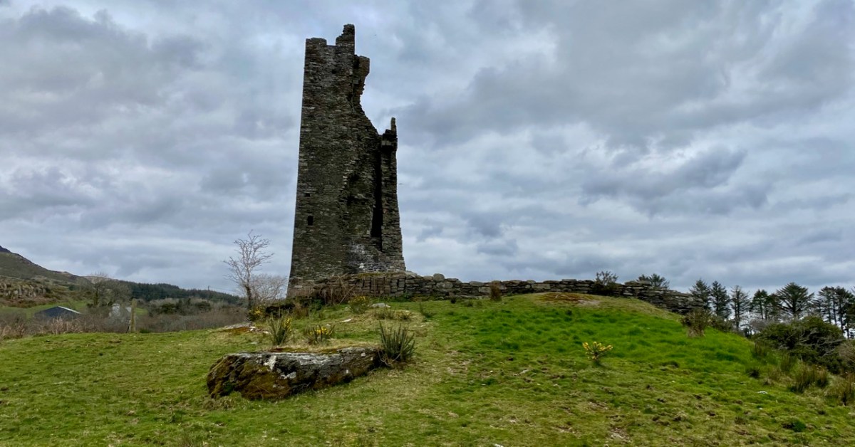
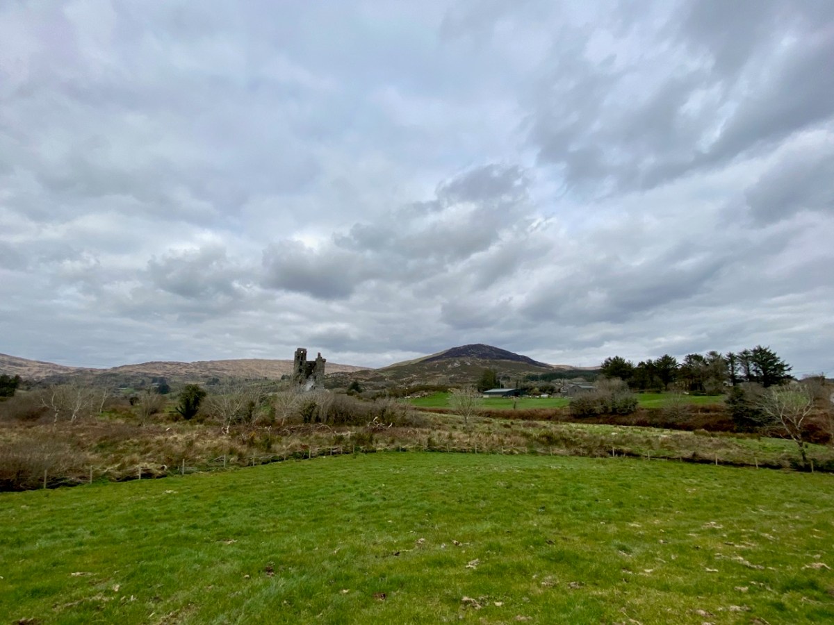
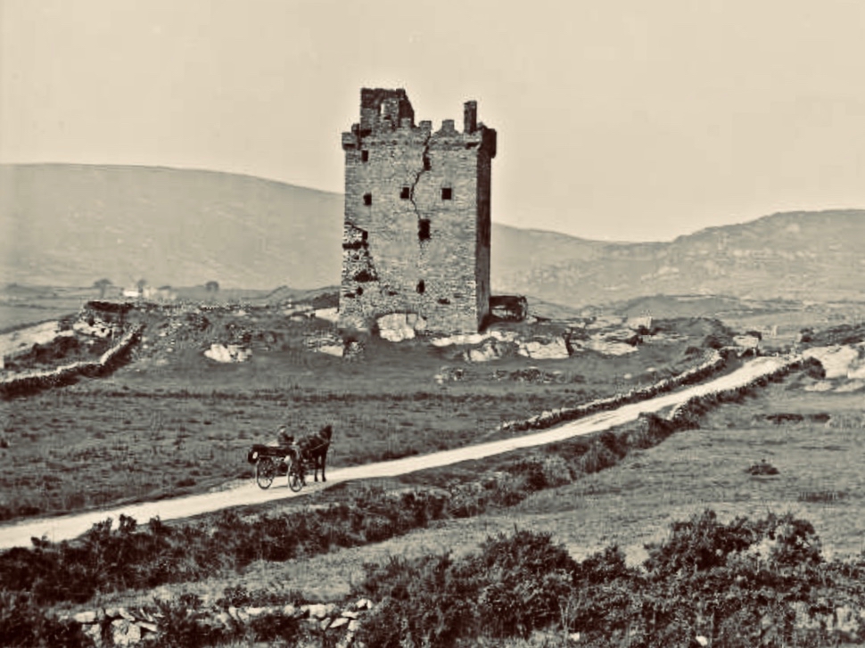
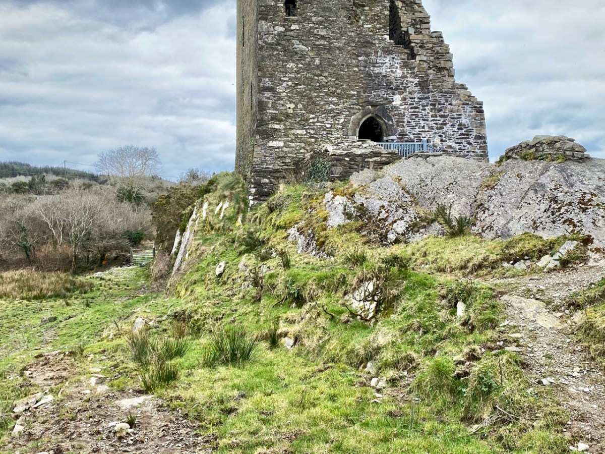
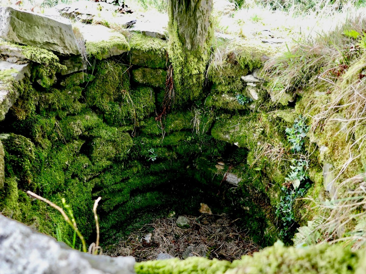
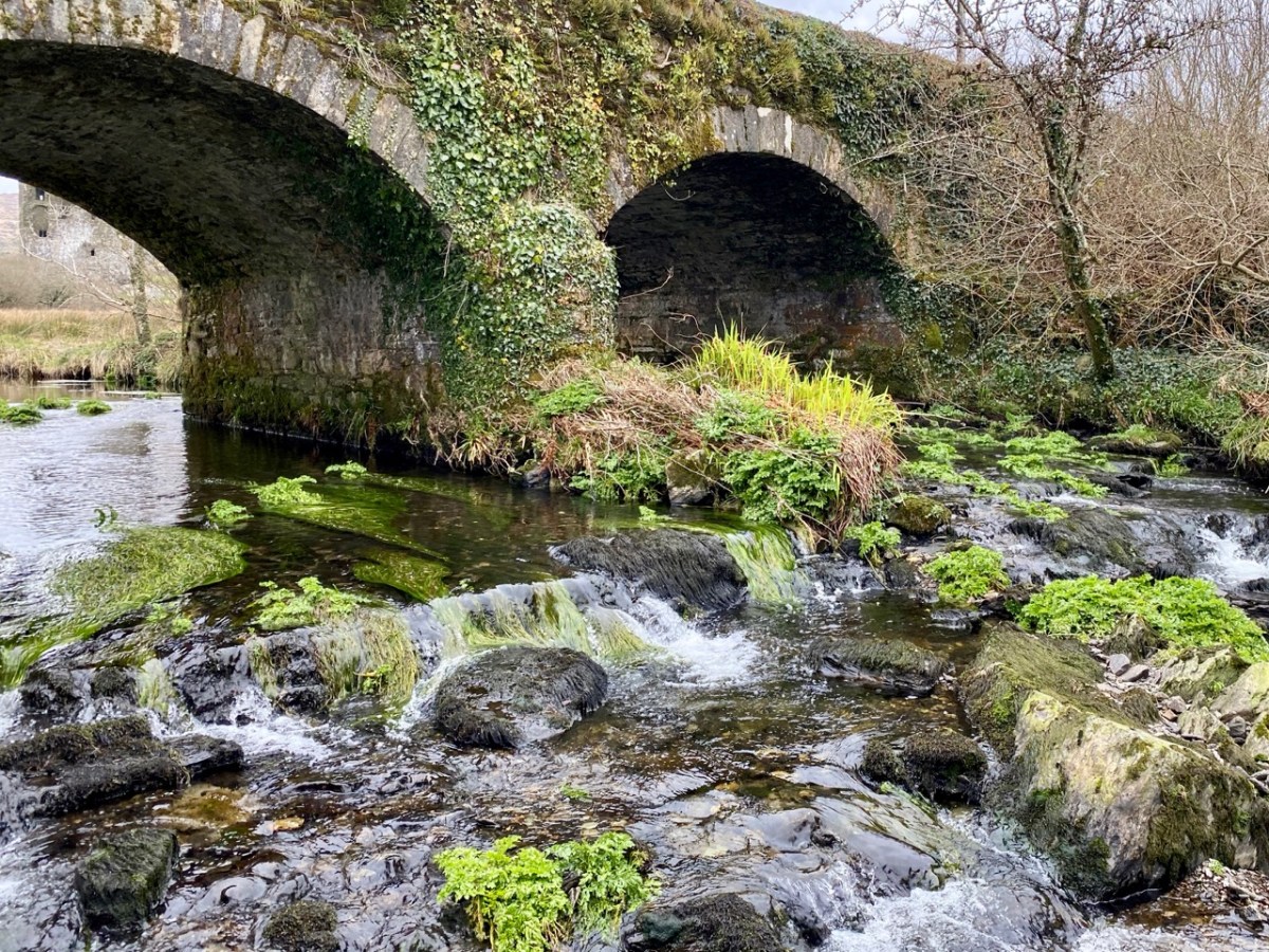
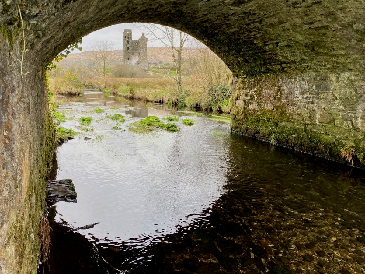
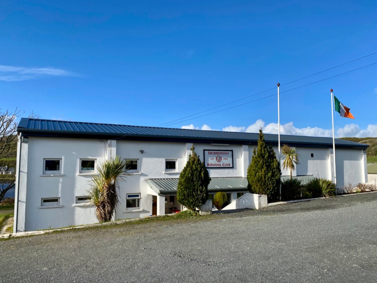
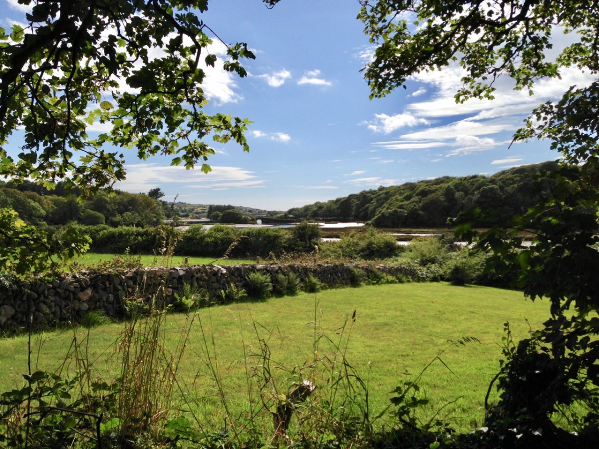
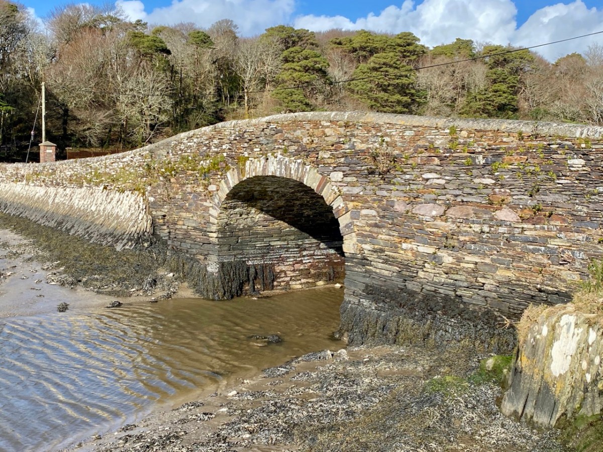
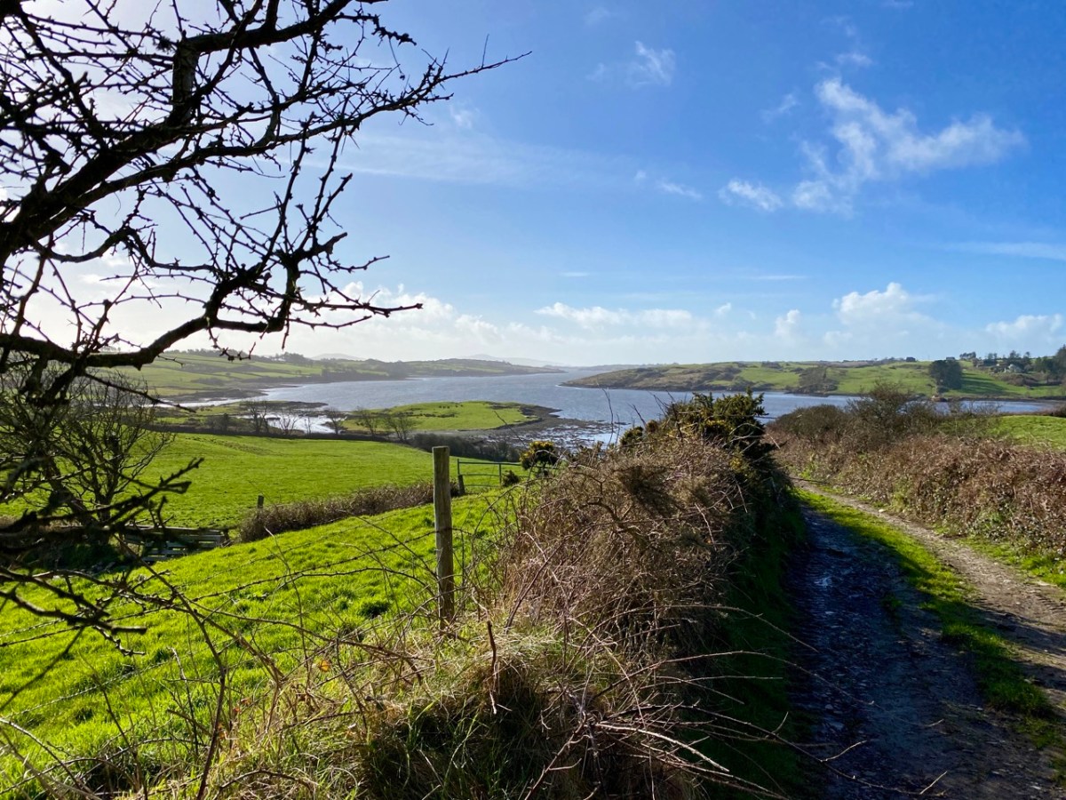
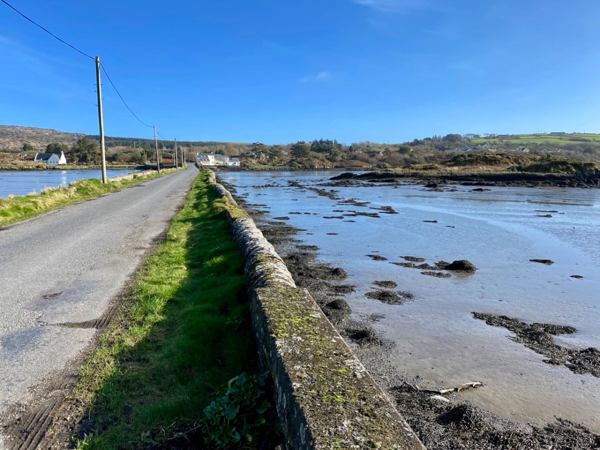
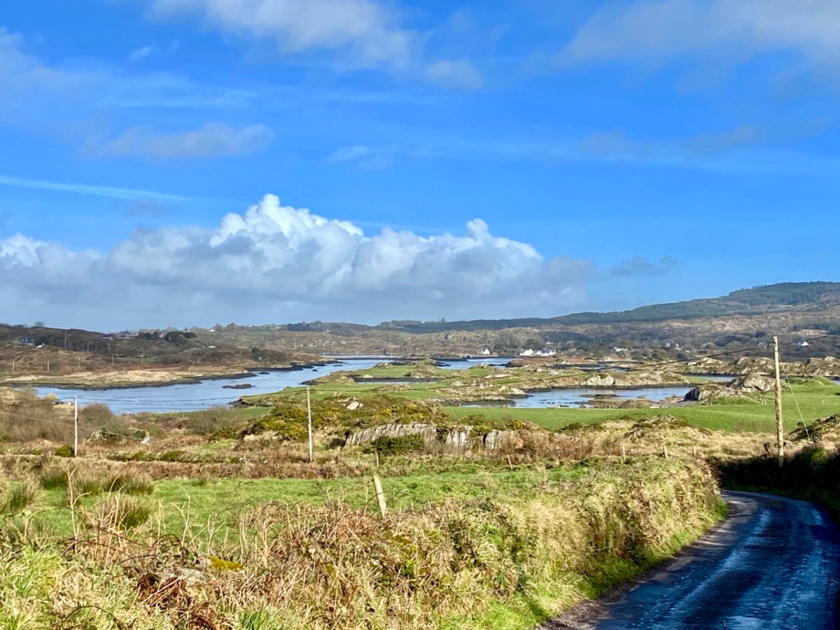
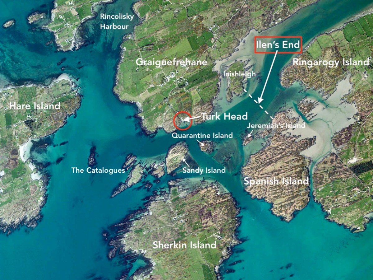
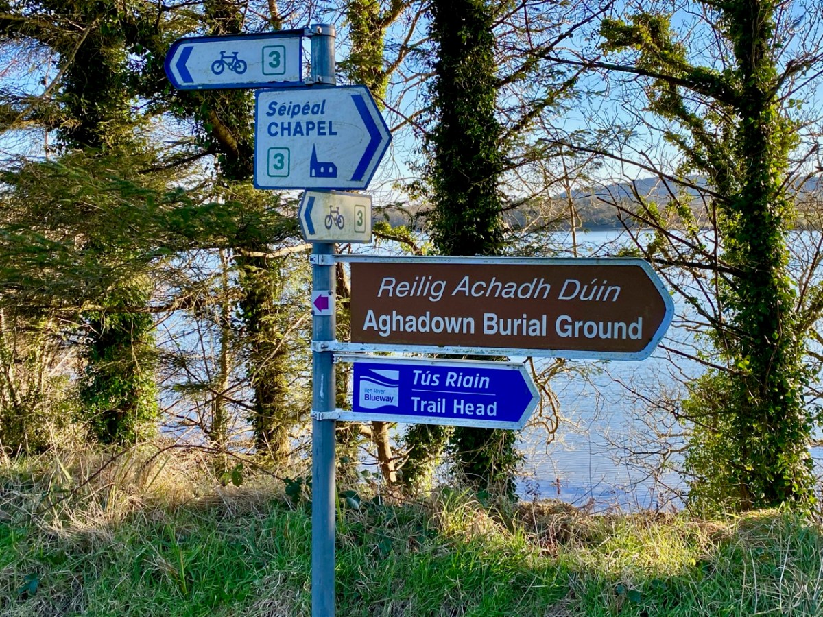
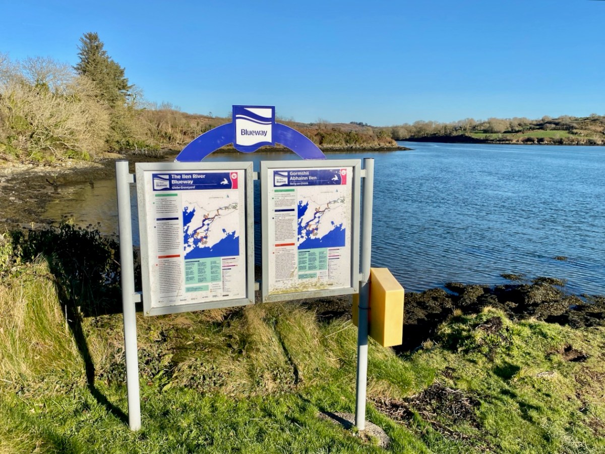
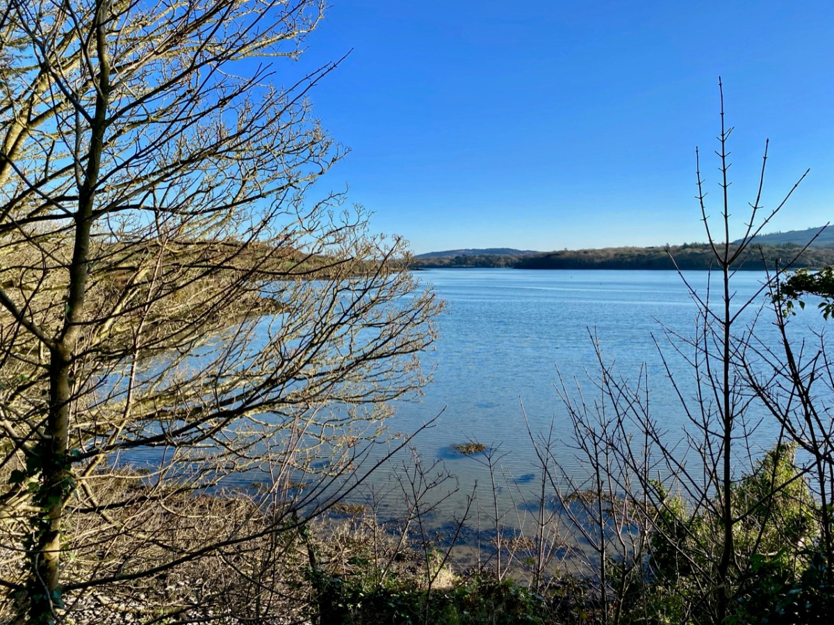
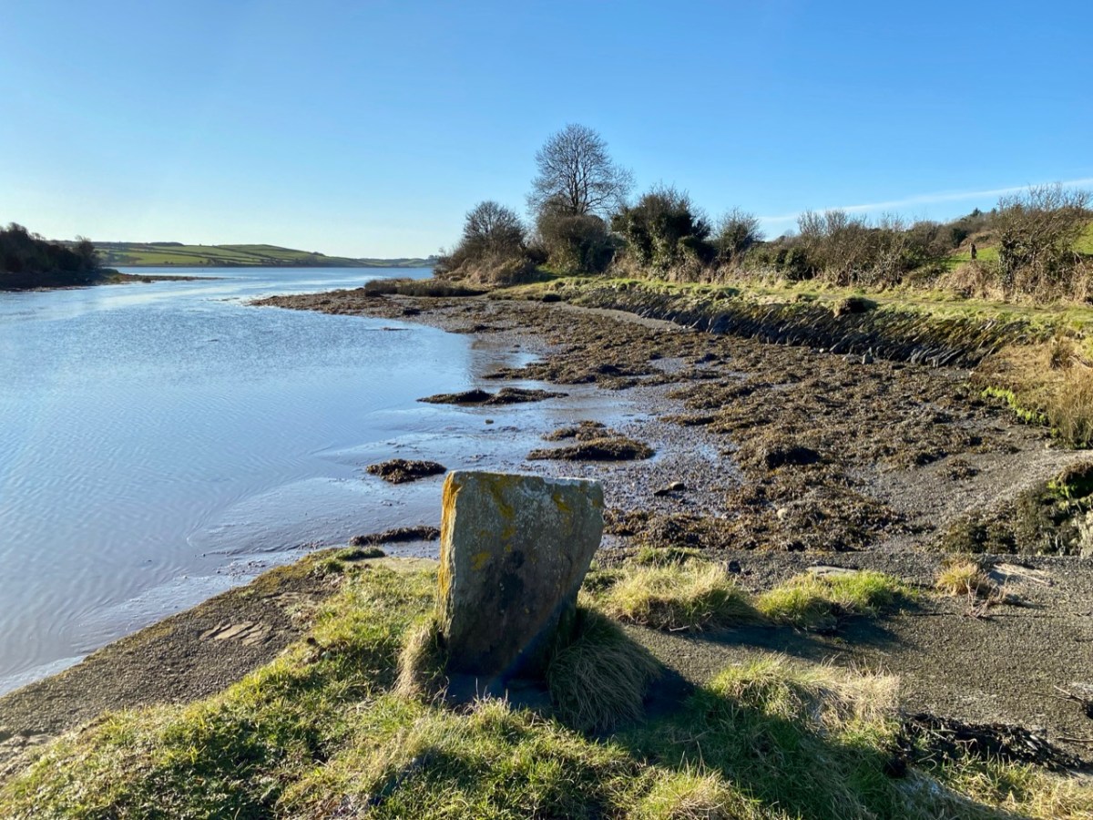
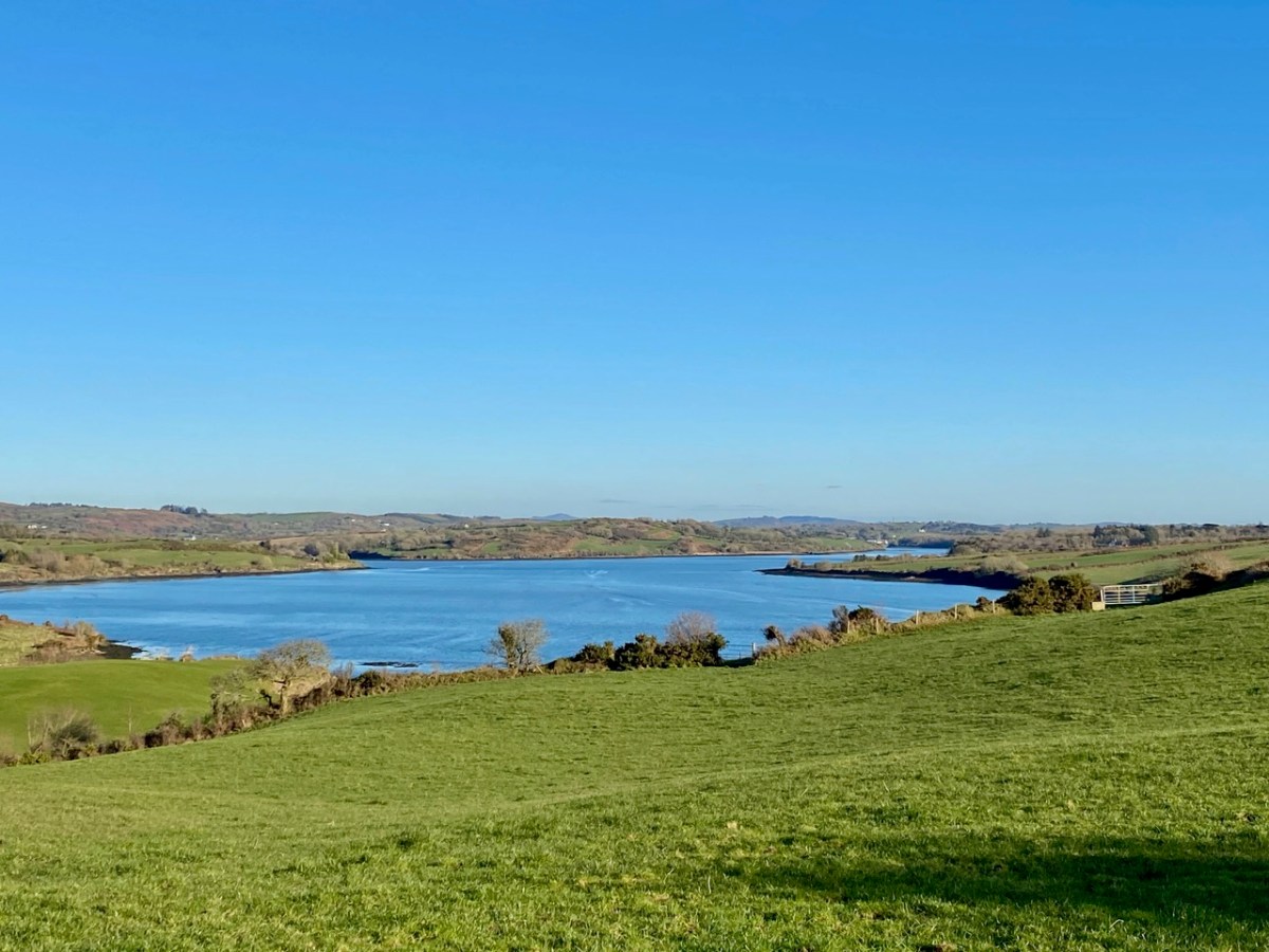
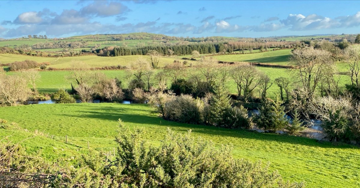
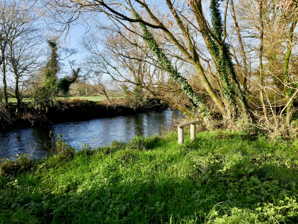
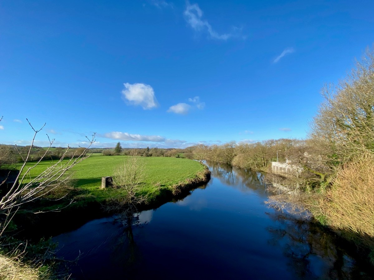
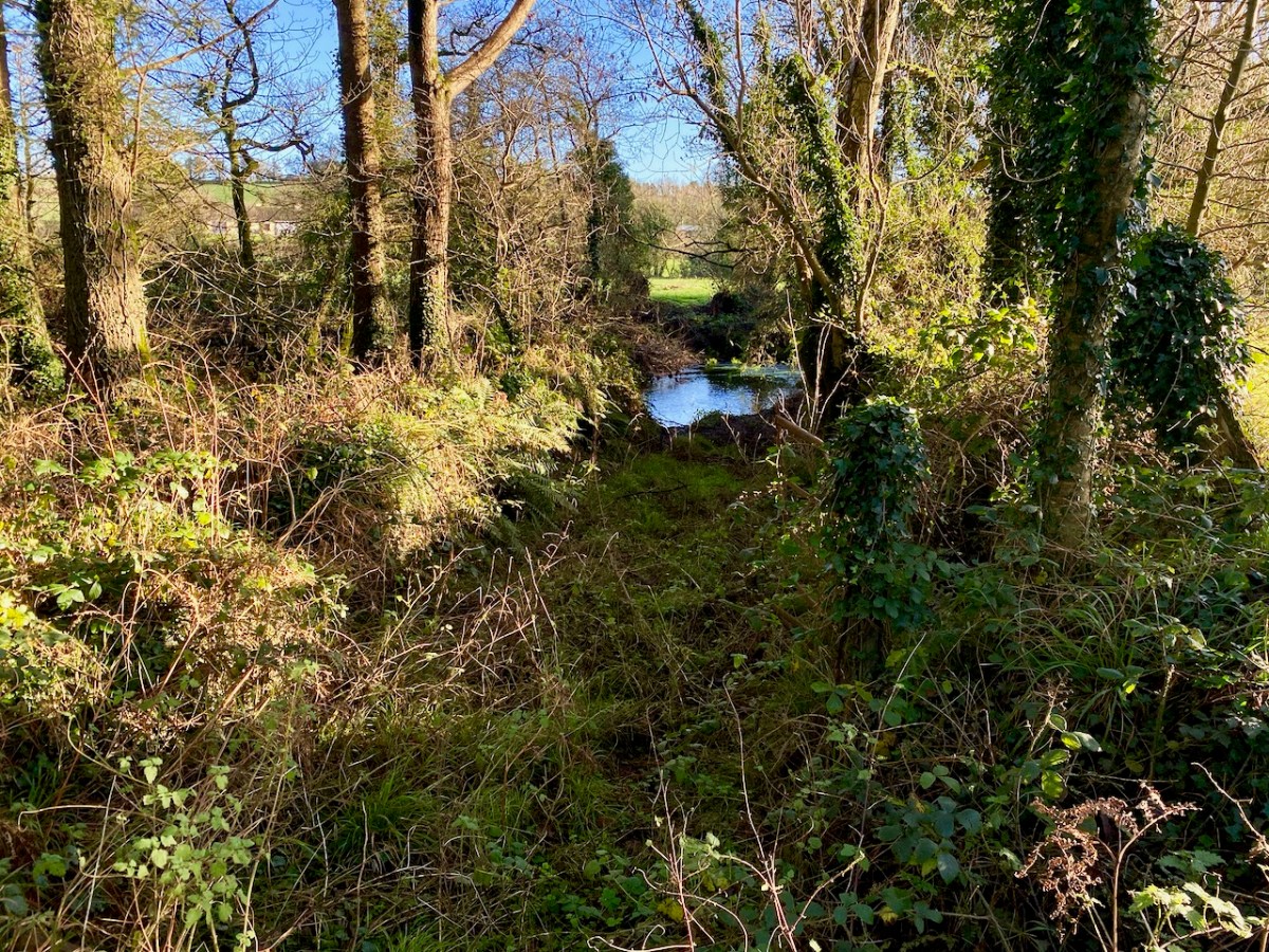
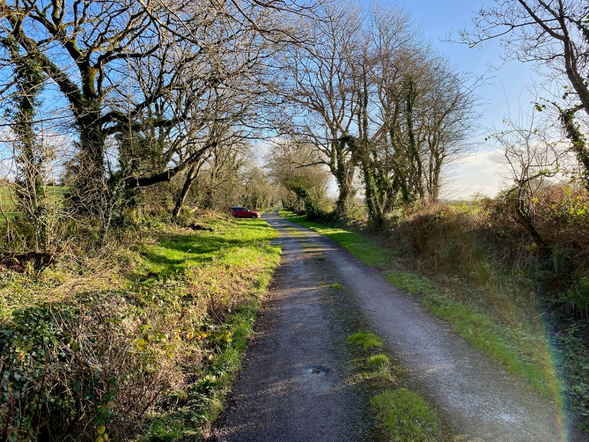
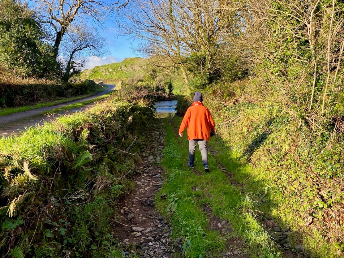
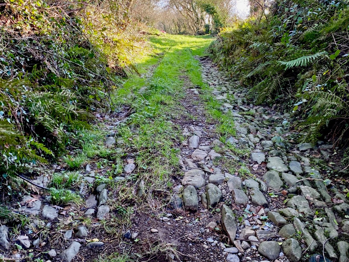
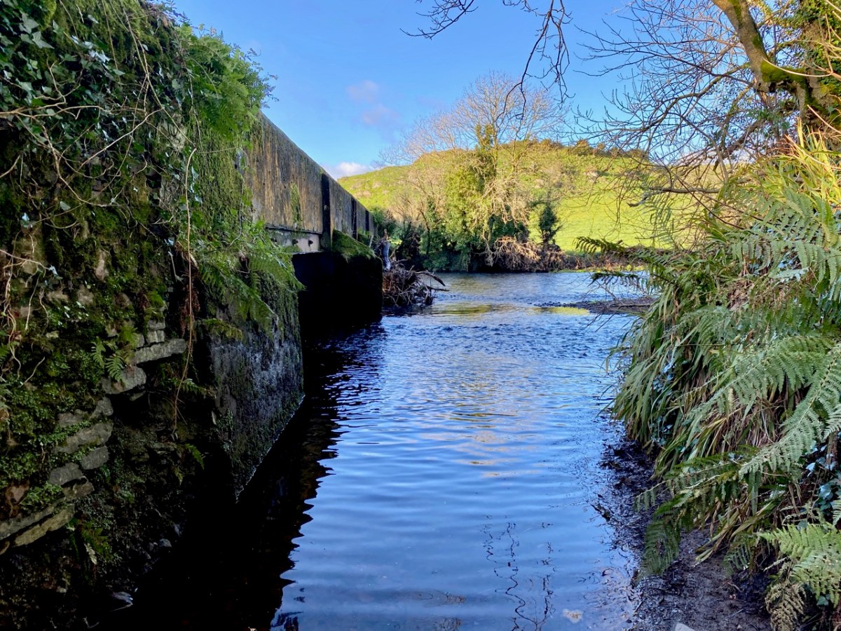
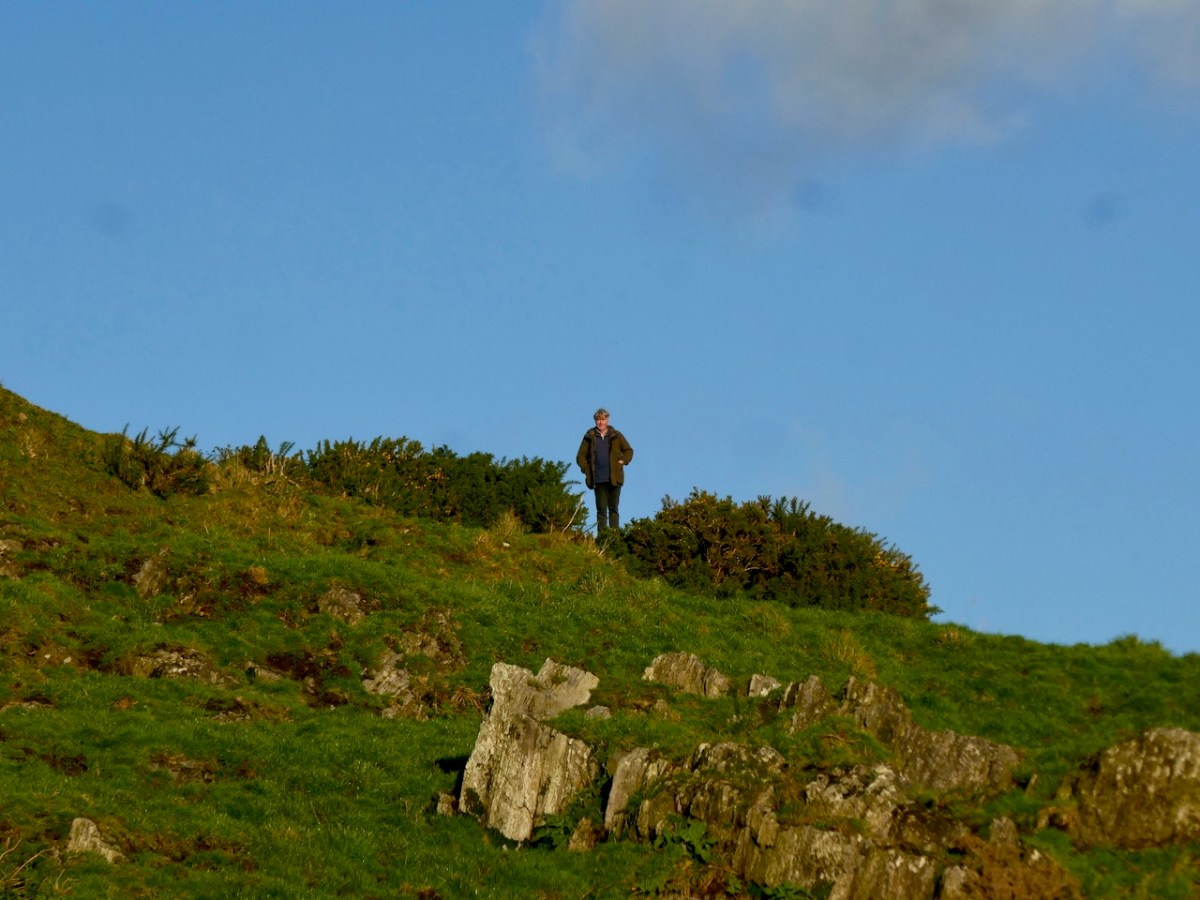
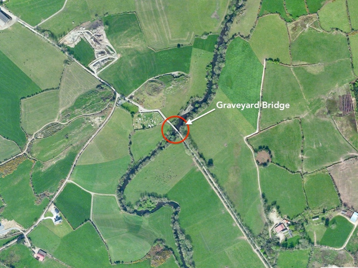
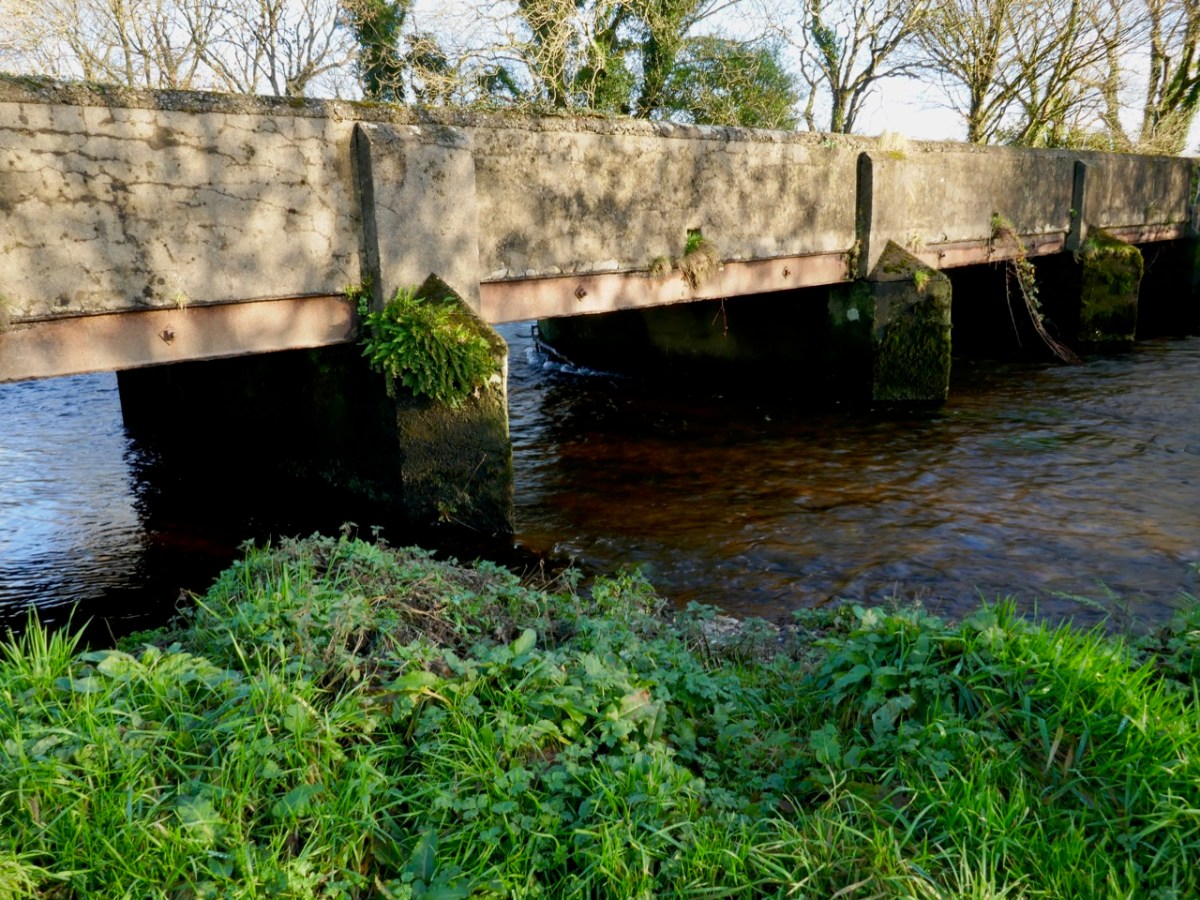
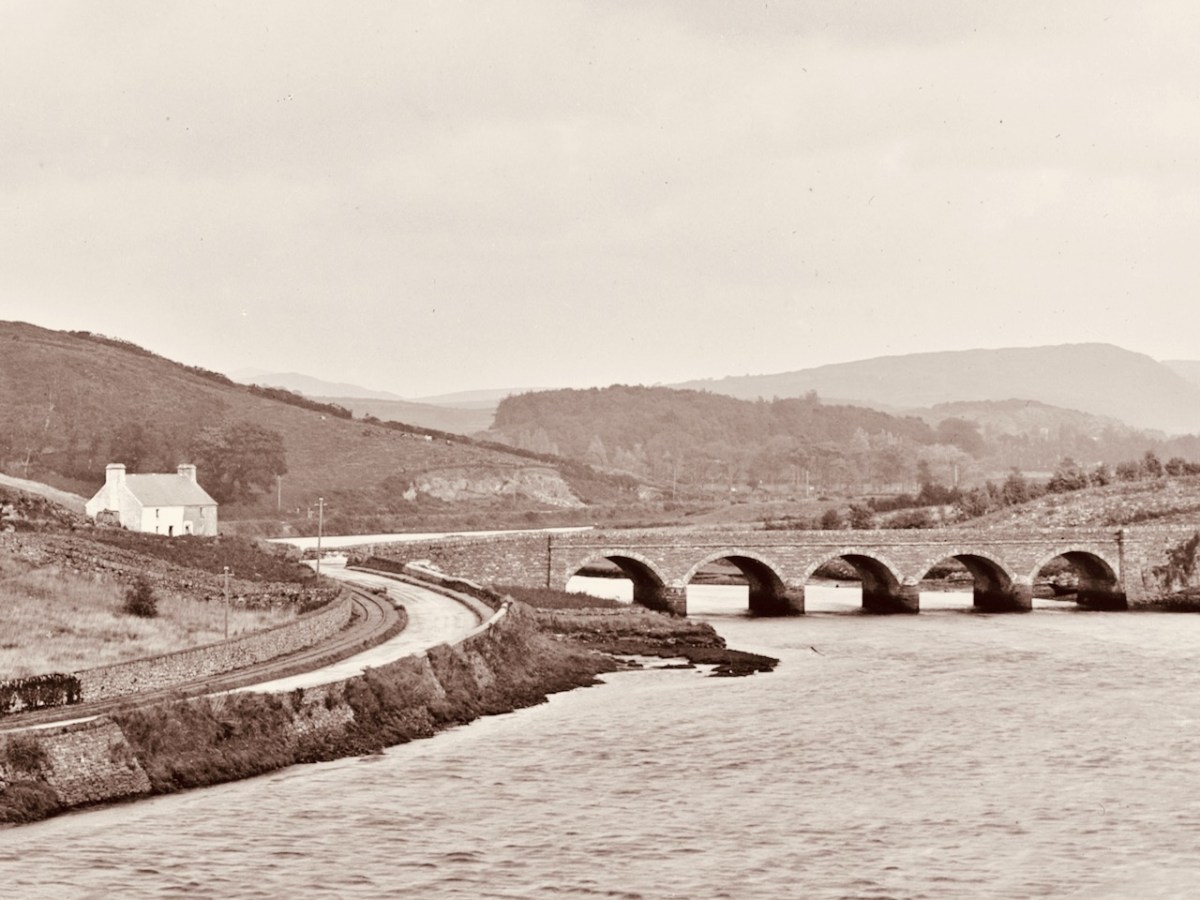
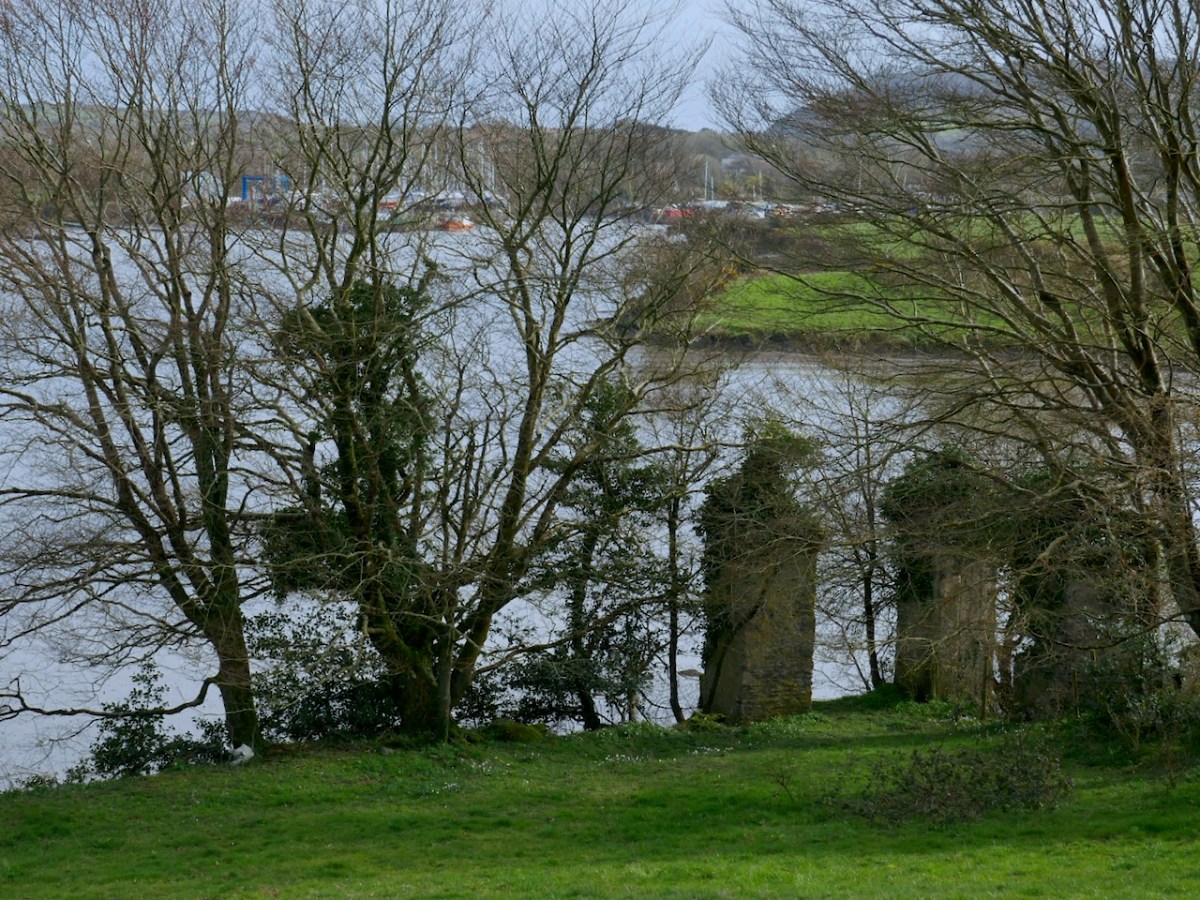
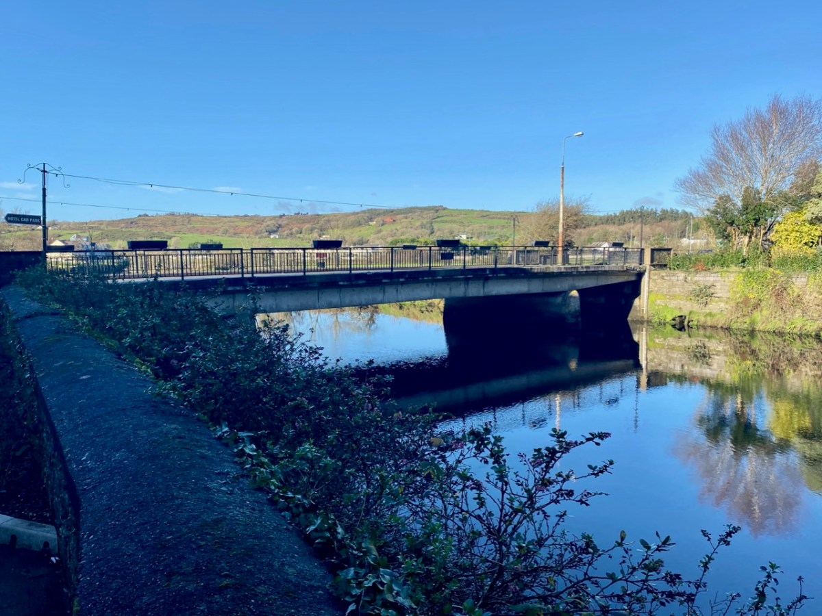
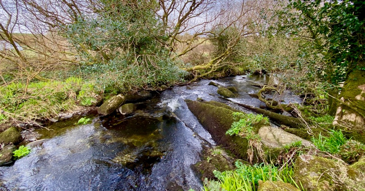
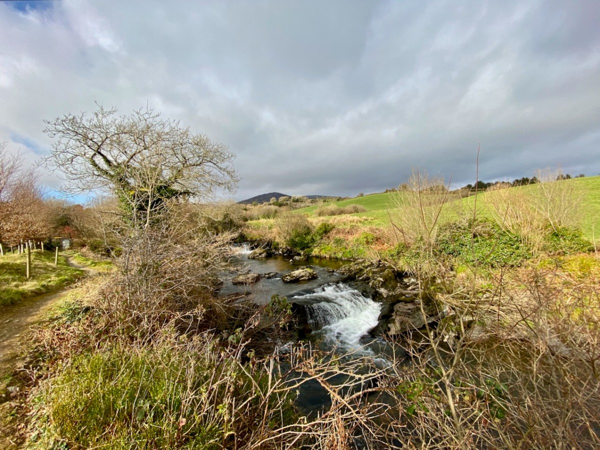
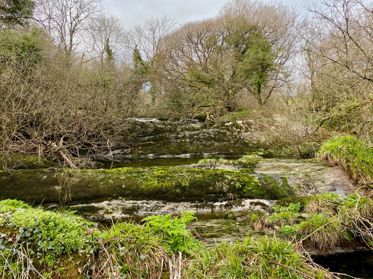
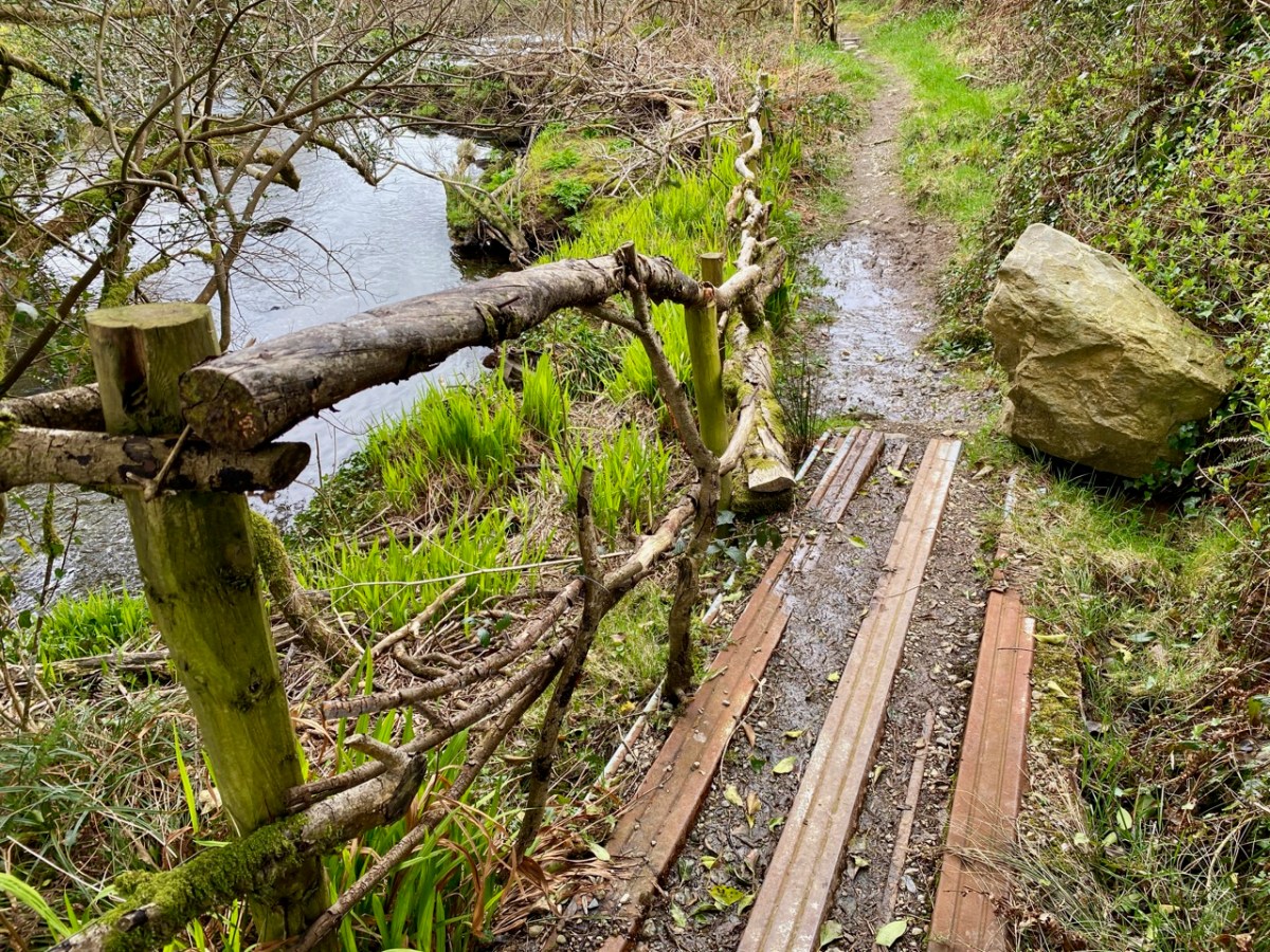
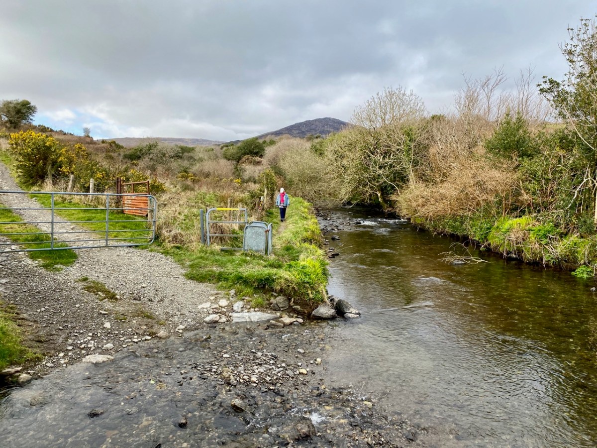
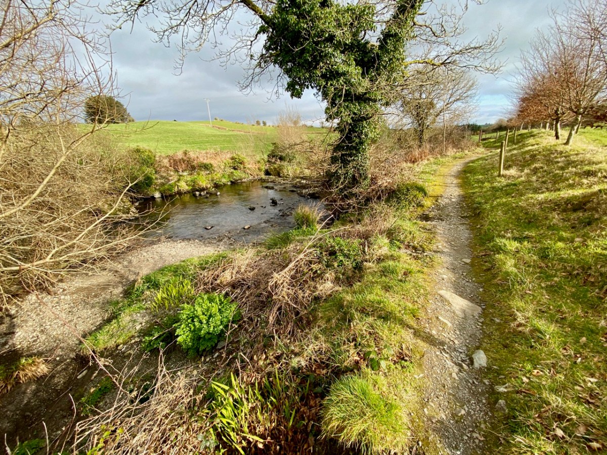
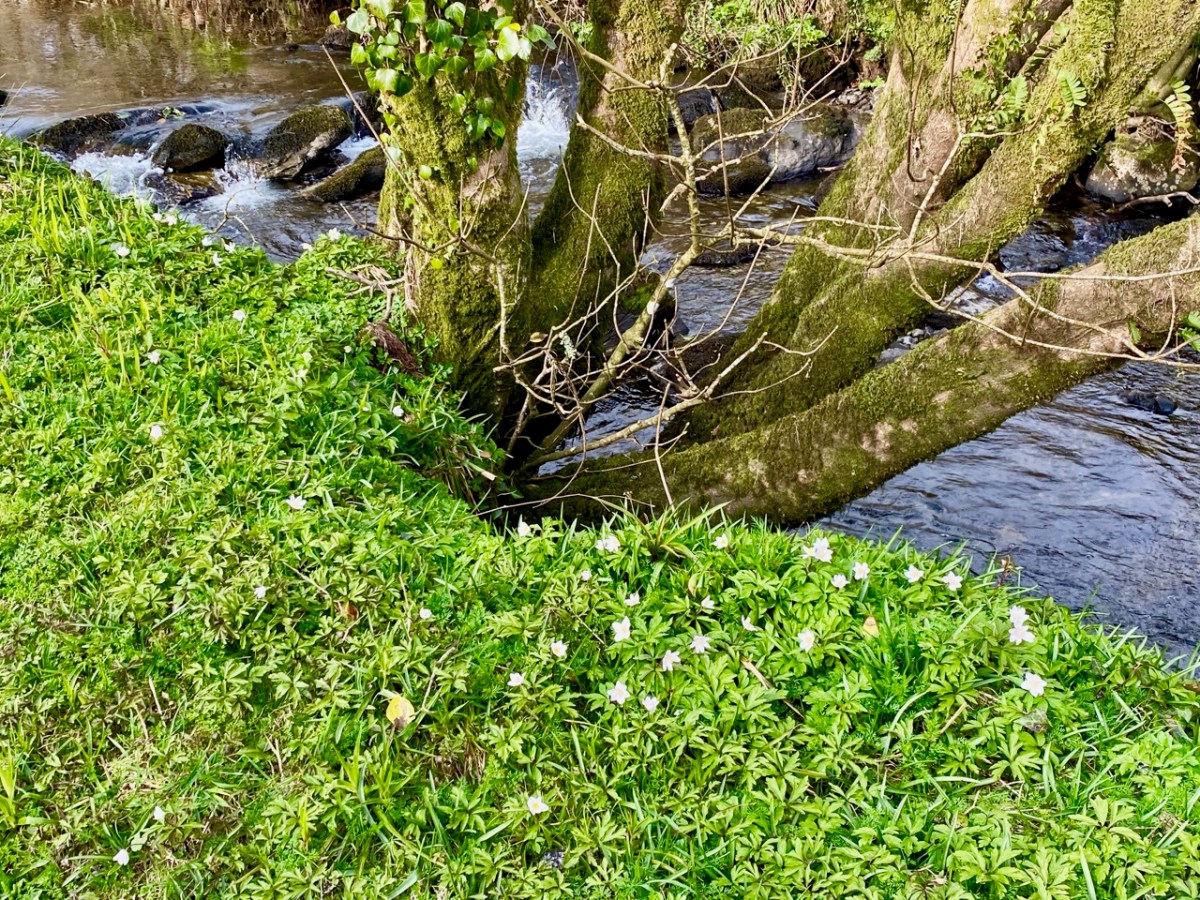
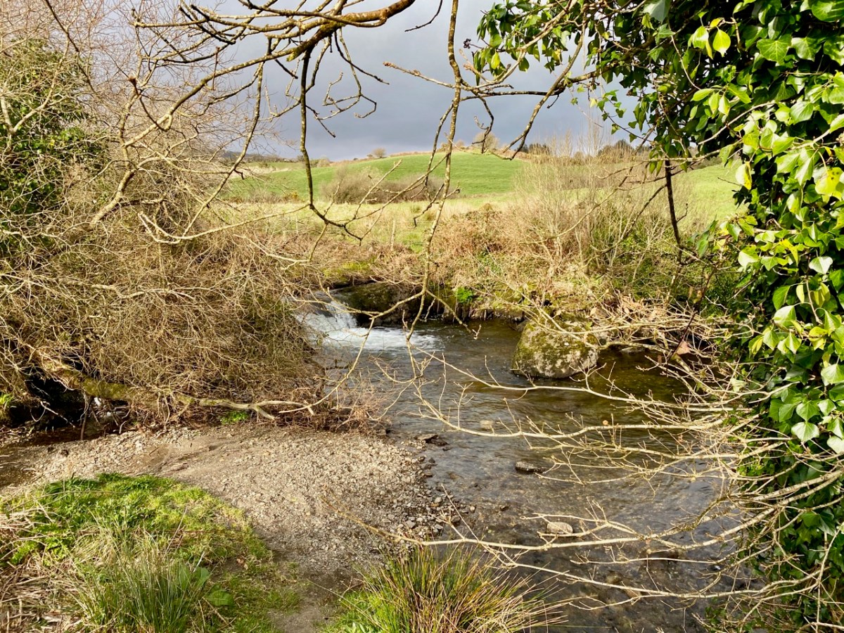
There’s a walk that goes down from Castledonovan to Drimoleague: it follows an ancient mass path and much of it is right alongside the Ilen River. At its northern end there is a section known as the Deelish Cascades: this is geologically fascinating, and gives us some insights into how our West Cork landscape was formed thousands of years ago.

. . . The oldest rocks exposed in West Cork are of Devonian age (410 – 355 million years ago) . . . These mostly red and green sandstones, siltstones and mudstones were deposited on a continental landmass in a low latitude desert or semi-arid environment. The sediments were deposited from rivers, whose flow was dominated by flash-floods fed by episodic rainfall, which originated predominantly from mountainous areas lying to the north which were were formed during the Caledonian Orogeny (mountain building event) in latest Silurian and early Devonian times. The environment was perhaps similar to the present day Arabian desert. This “Old Red Sandstone” continent extended over what is now northwest Europe. In Cork and Kerry these sediments accumulated in a large subsiding trough (the Munster Basin), resulting in one of the thickest sequences of Old Red Sandstone encountered anywhere in the world (at least 6km thick) . . .

Geology of West Cork, M Pracht and A G Sleeman, geological Survey of Ireland 2002

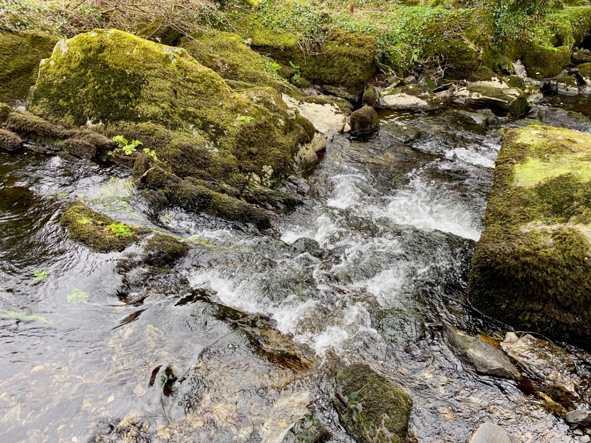
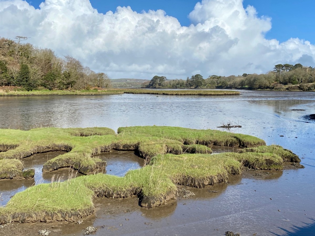
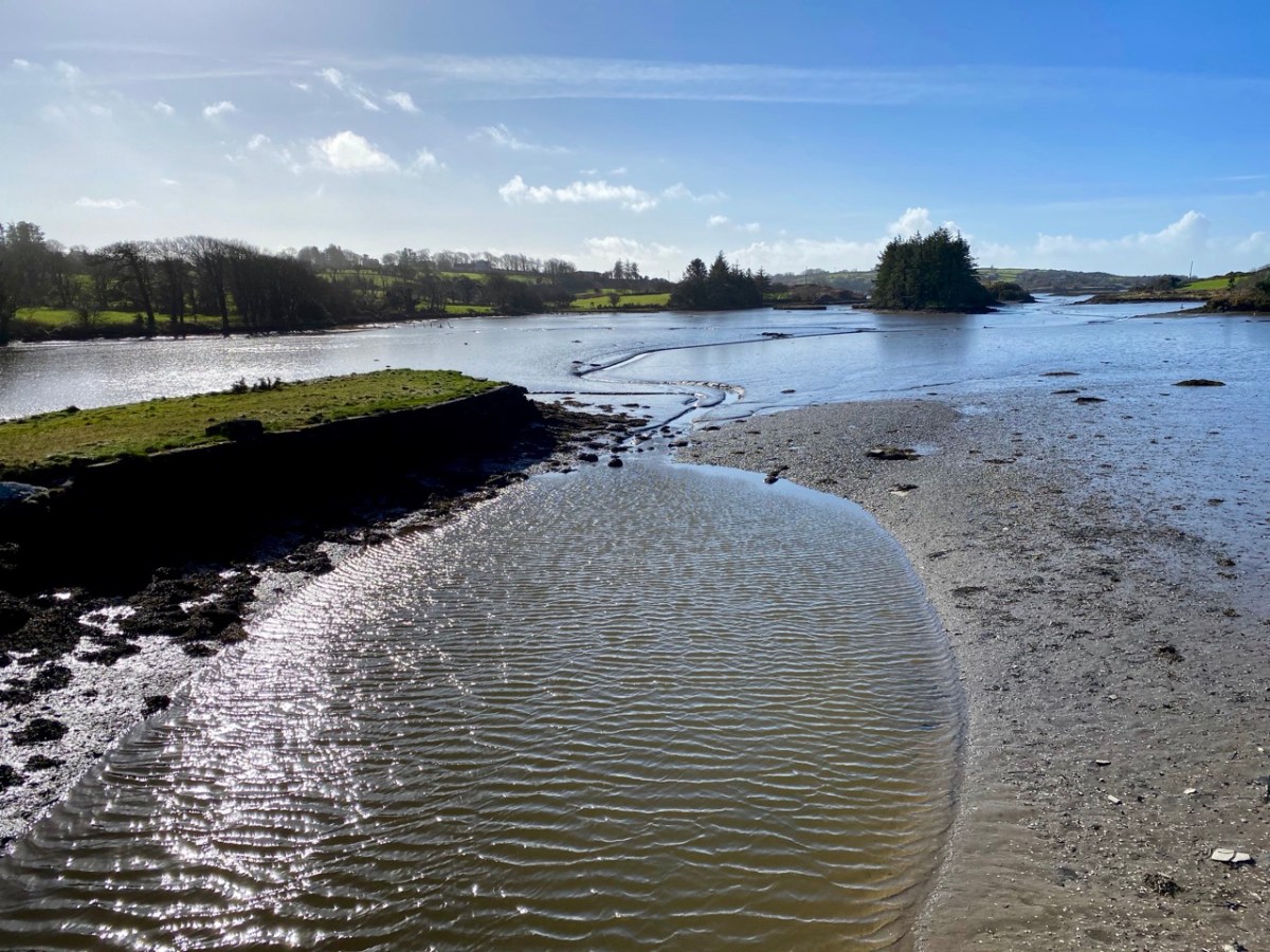
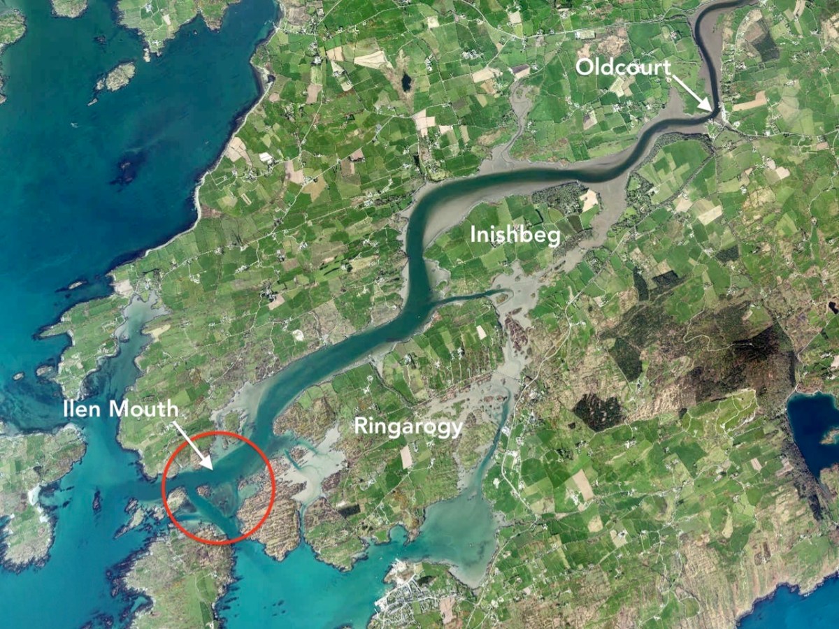
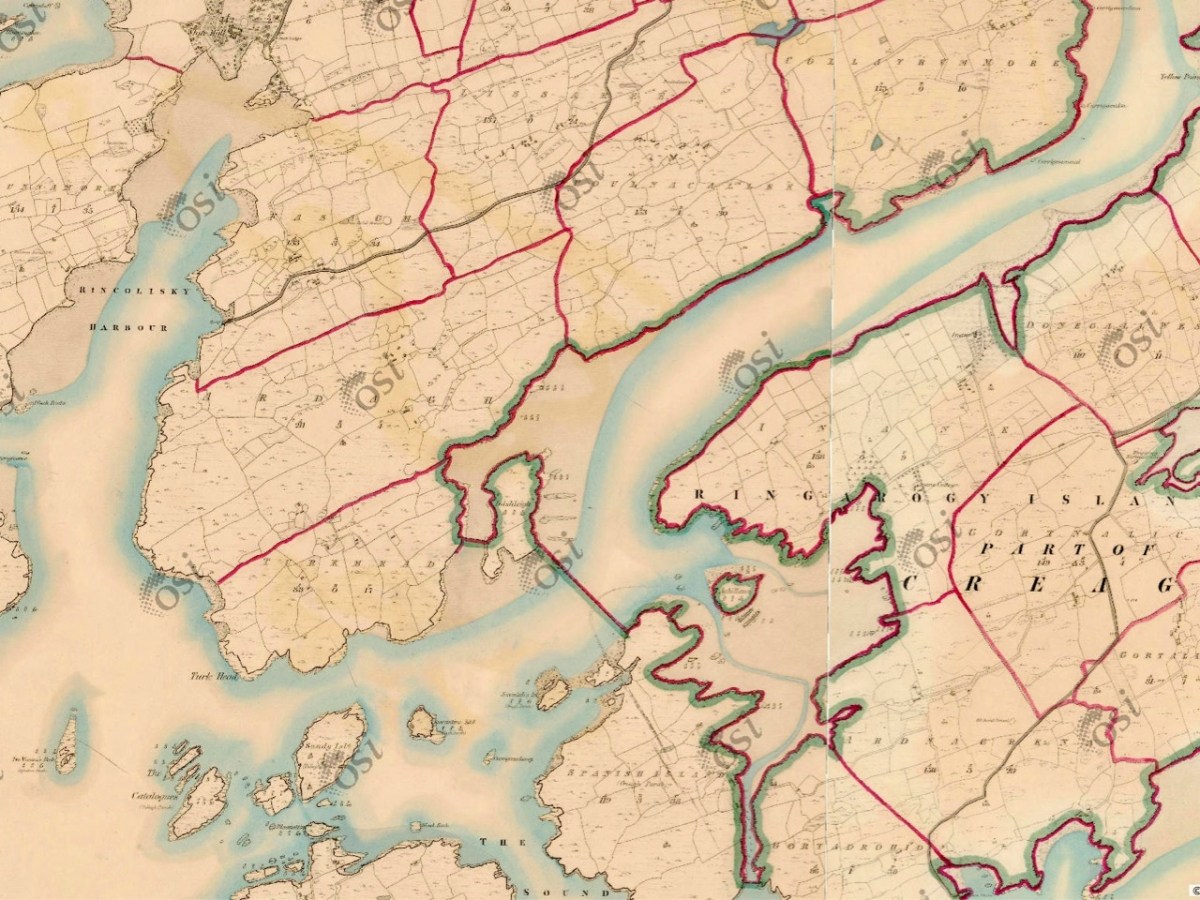
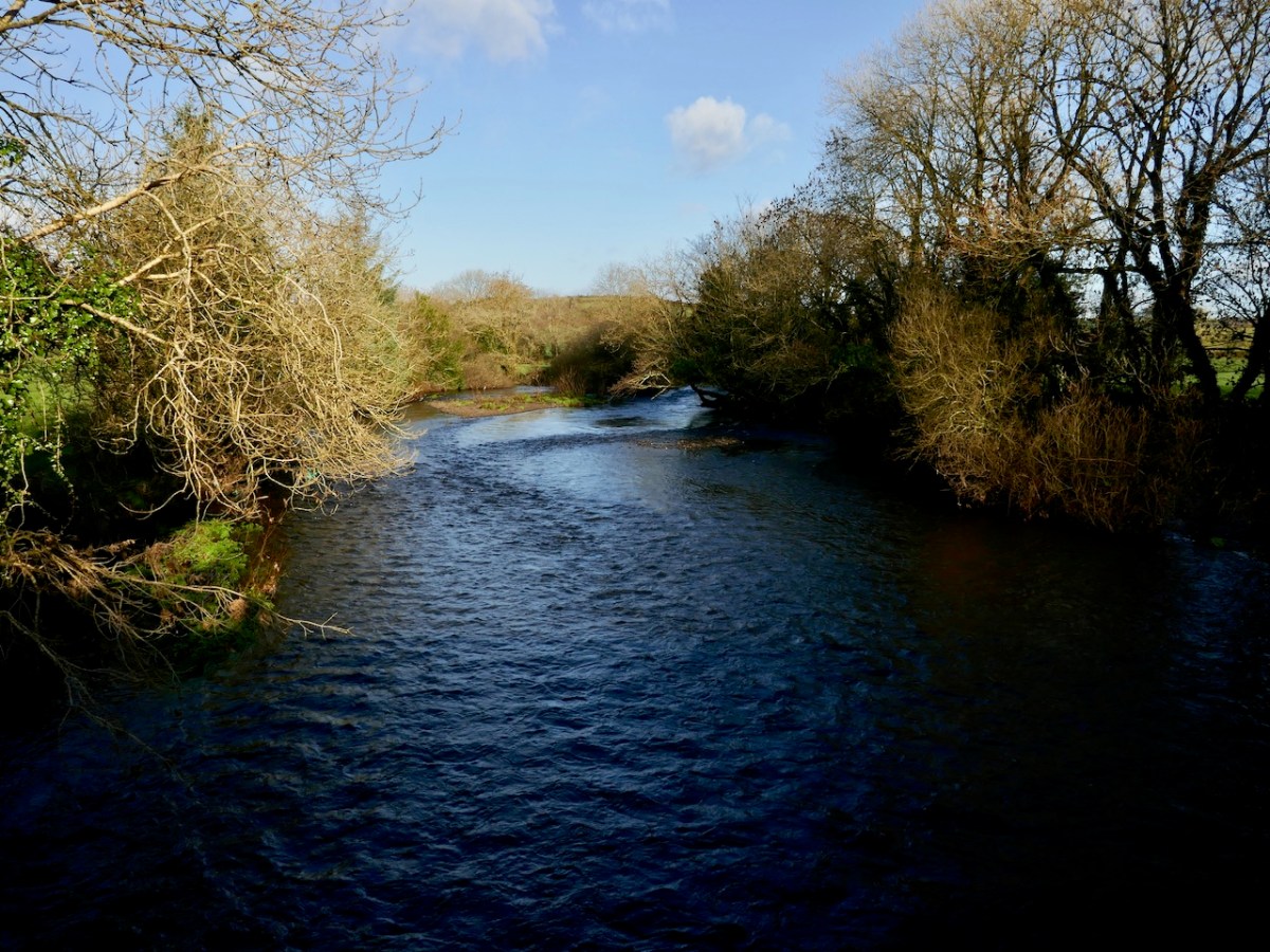
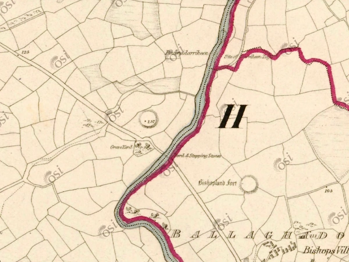
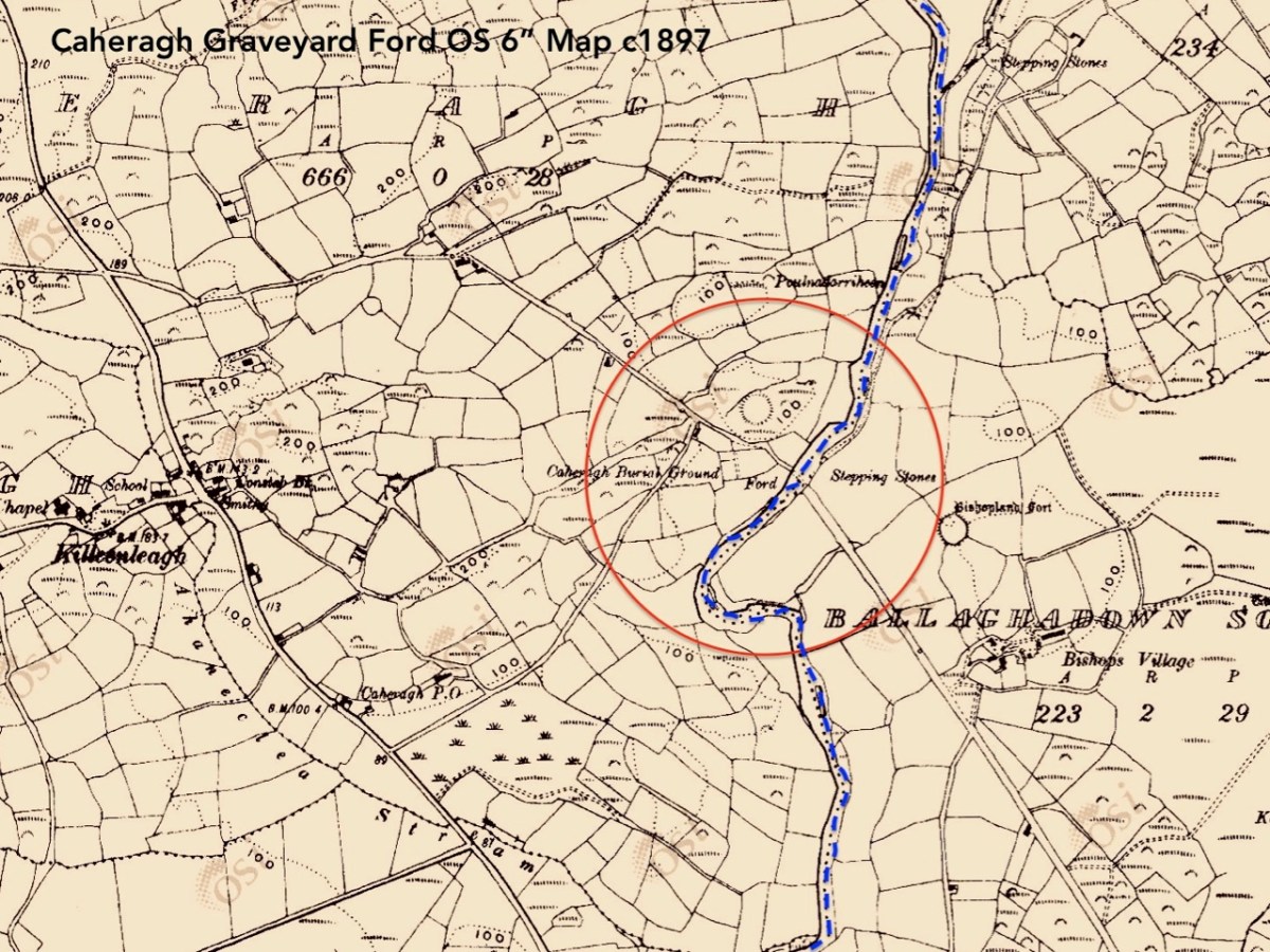
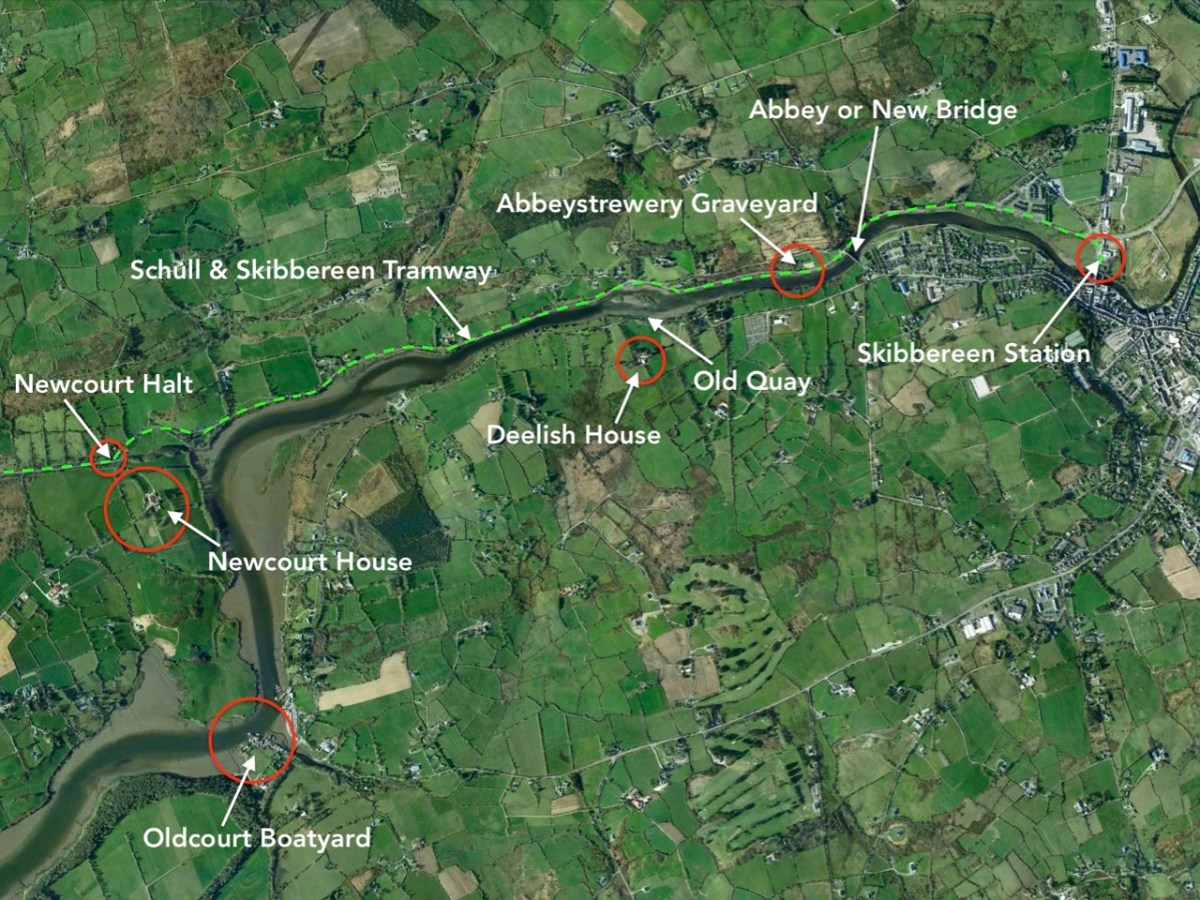
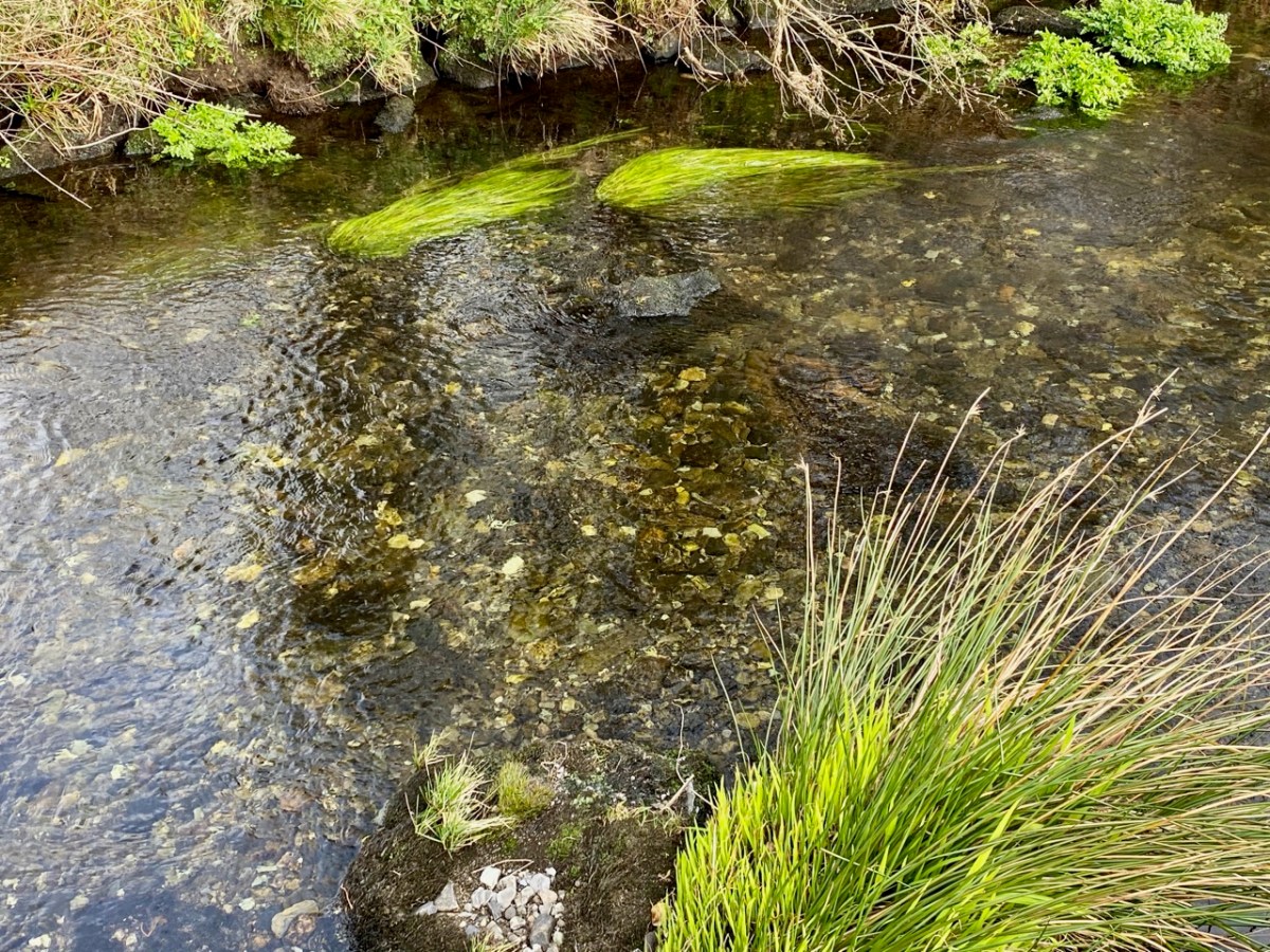
I have marked on this Geology Map the course of the Ilen River from its source on Mullagmesha Mountain to the tidal estuary which begins at Skibbereen. The map shows the ‘grain’ of the various faults which run SW to NE over the terrain: the river generally flows perpendicular to these faults, and the ‘grain’ is clearly seen in the exposed river bed running over the Deelish Cascades.

Praeger usefully simplifies the geological definition of the landscapes (for more on Praeger see Finola’s complementary post today):

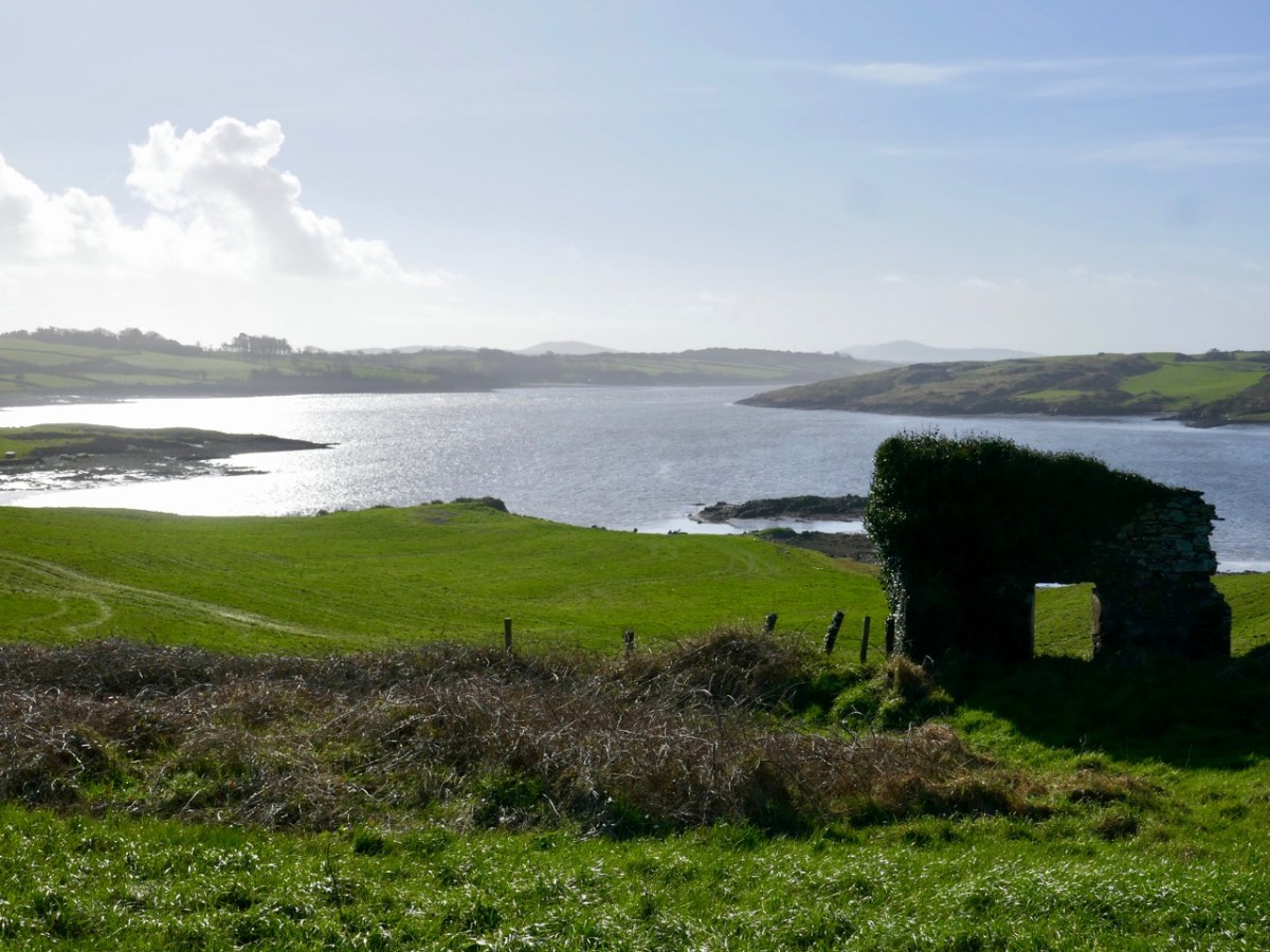
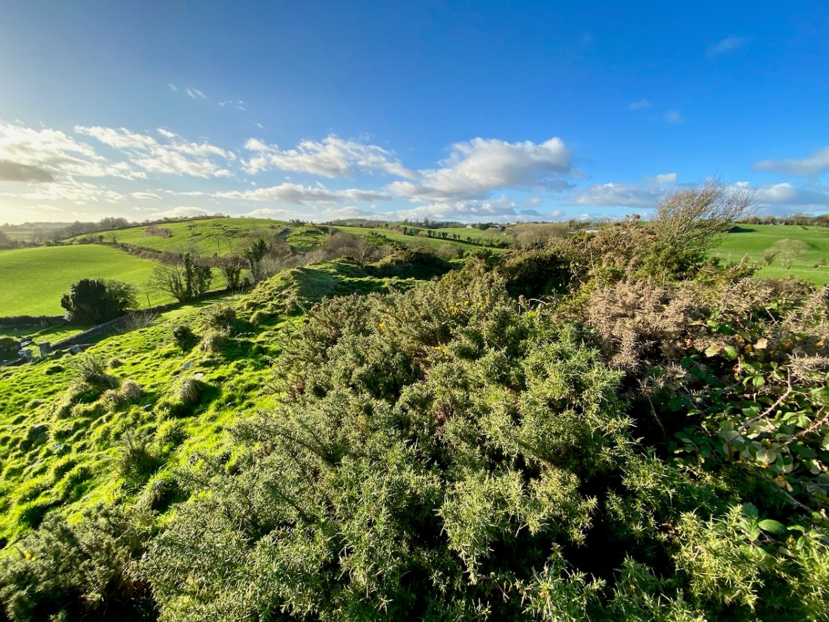
. . . The story which geology tells as to how West Cork and Kerry got its present form is interesting, and I shall try to tell it in non-geological language. Towards the close of Carboniferous times – that is, after the familiar grey limestone which covers so much of Ireland and the beds of sandstone and shale which succeeded it were laid down on an ancient sea-bottom, but long before the beginning of the Mesozoic period, when the New Red Sandstone and white Chalk were formed – the crust of the Earth in Ireland and beyond it was subjected to intense lateral squeezing from a north-south direction. This forced it into a series of great east-west folds, thousands of feet high from base to summit – the Carboniferous beds on top, and below them and following their ridges and hollows the massive strata of Devonian time, and other deeper-buried systems. A series of pieces of corrugated iron laid one over the other will illustrate what happened. The folding was developed particularly conspicuously in the Cork-Kerry area. What we see is the result of this ancient crumpling, now greatly modified by the effect of millions of years’ exposure to sun and frost, rain and rivers . . . The more resistant slates, carved into a wilderness of mountains, still tower up, forming long rugged leathery ridges. A sinking of the land has enhanced the effect by allowing the sea to flow far up the troughs. That the ridges were longer is shown by the high craggy islands that lie off the extremities, and continue their direction out into the Atlantic . . .

The Way That I Went, Robert Lloyd Praeger, Methuen & Co London, 1937

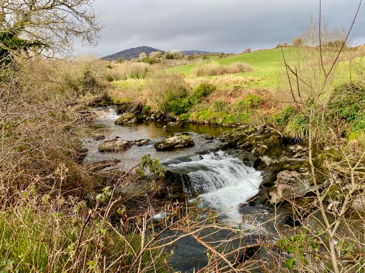
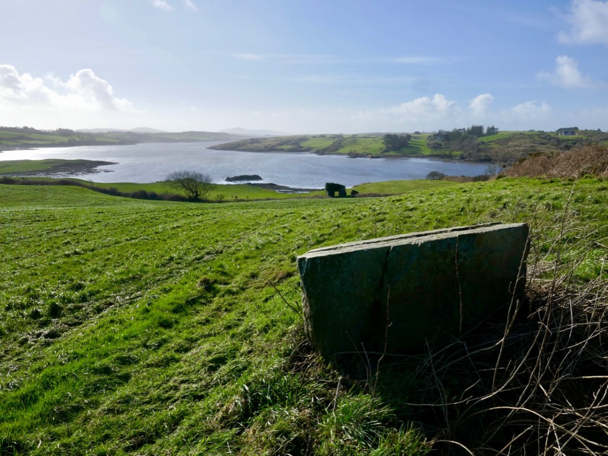
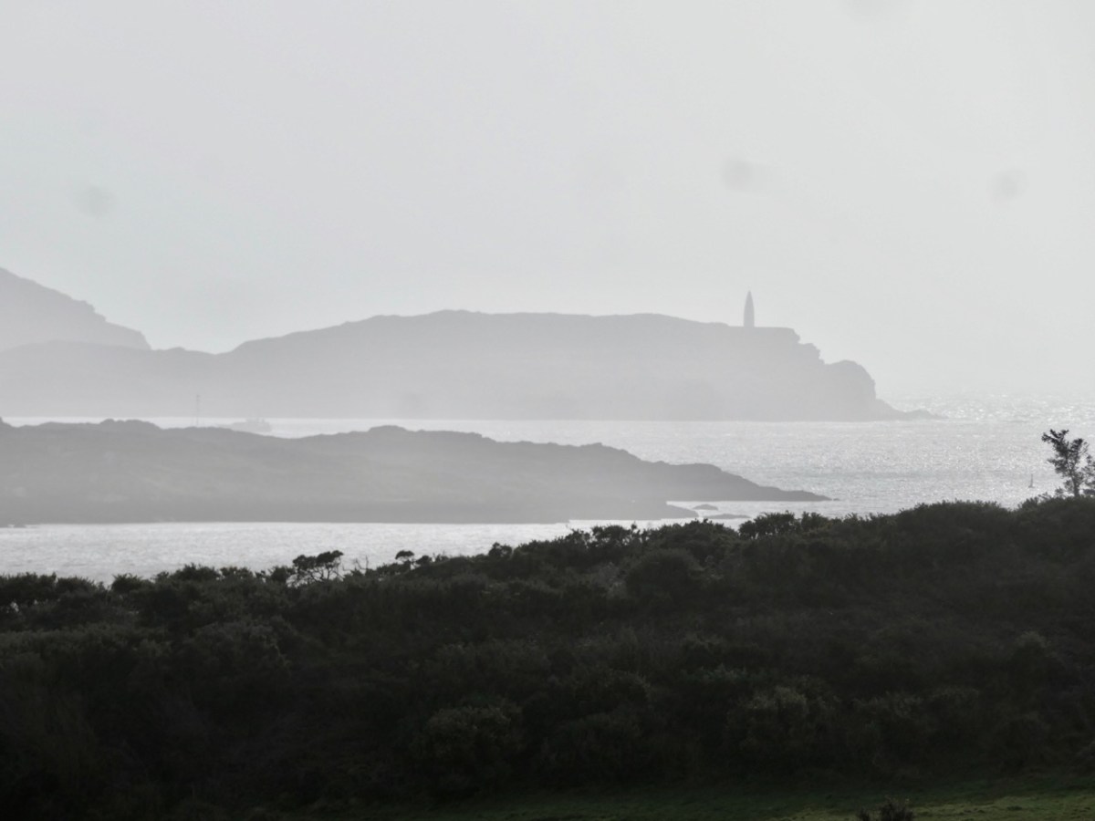
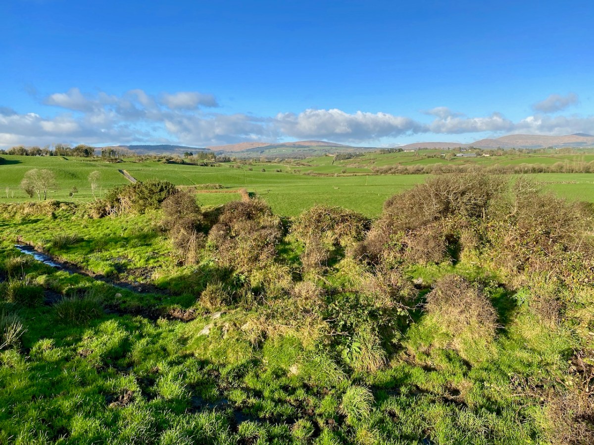
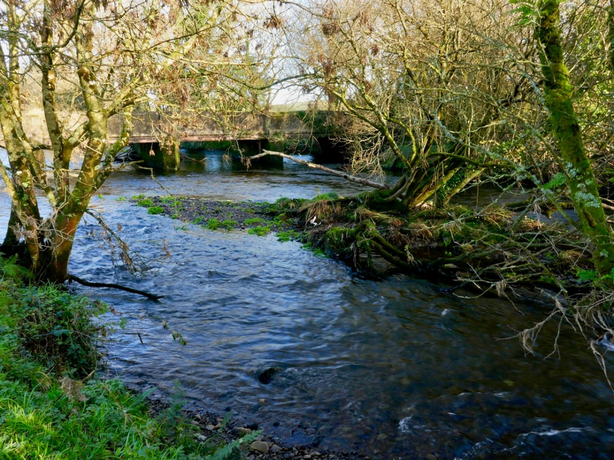
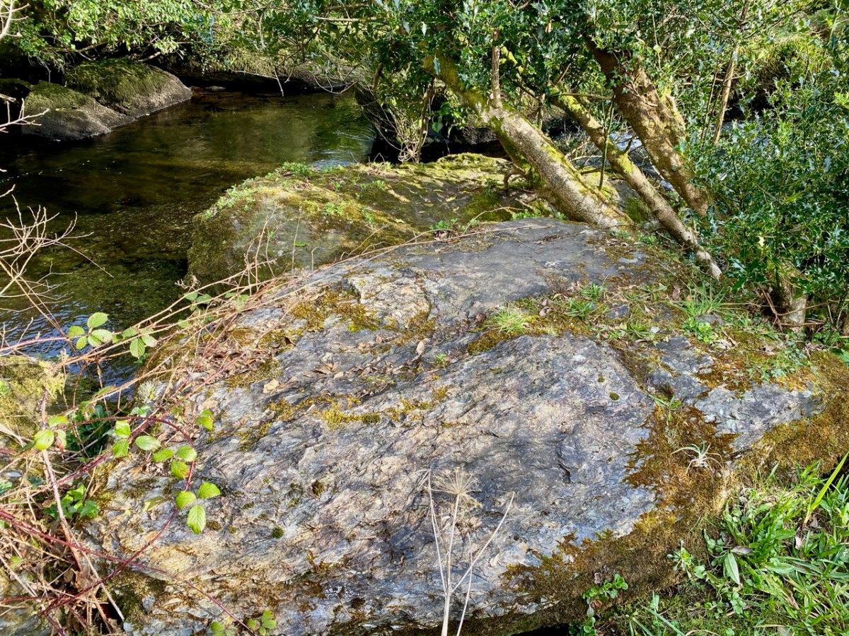
While the upheavals of far-off eras reaching back millions of decades certainly laid the foundations of our landscape, the geological events which actually honed the shaping of the terrain as we see it today are far more recent – the ‘Ice Ages’ which developed only 30,000 years ago and had receded by about 10,000 BC. During that time sea levels fell and then rose again, and the topography and shoreline of the island with which we are familiar today was established. The ice sheets covered most of the land and were up to 1,000 metres thick. As they melted, glaciers fell away from the highest points and carved fissures into the slopes, creating valleys and rivers. One of the most extensive ‘local’ ice-caps was in south-west Munster where a ‘Cork-Kerry’ glaciation, centred on or close to the Kenmare river, developed independent of the general ice sheet. Our own ‘Sweet Ilen’ was a consequence of the ice movement, and the rock formations that we see in the Deelish Cascades are good evidence of these modern geological events.

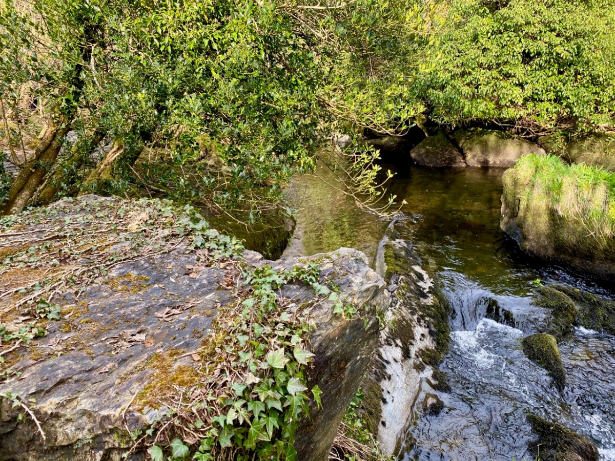
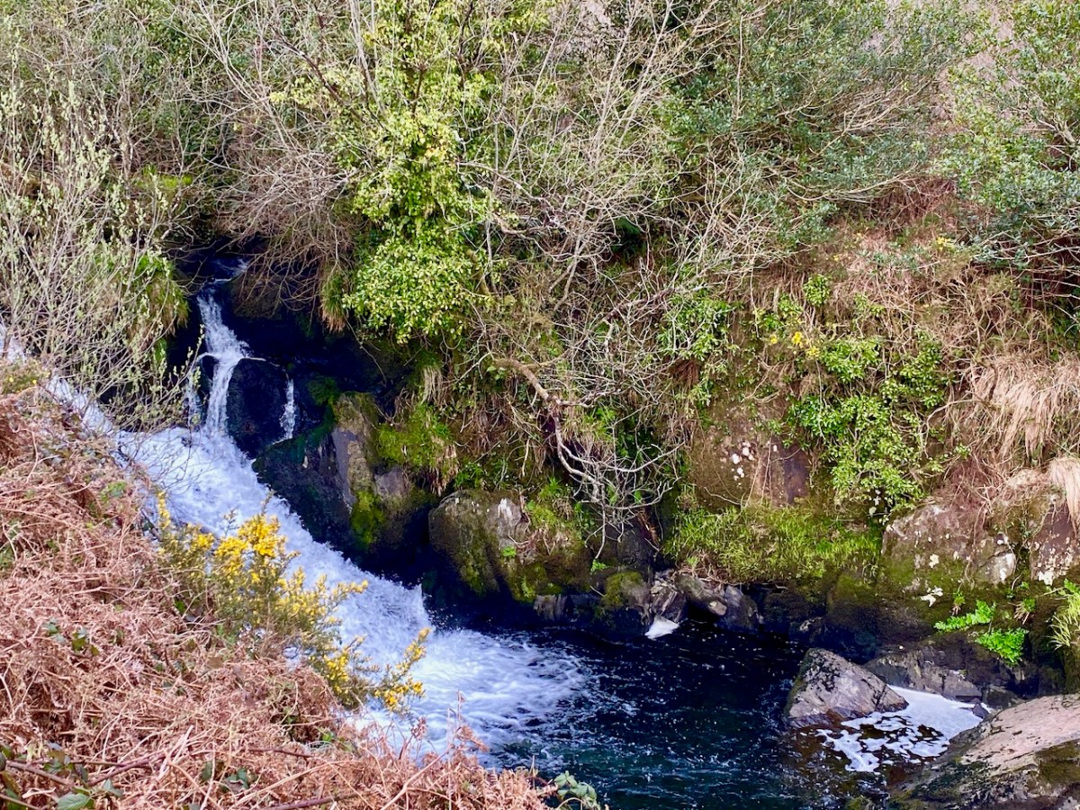
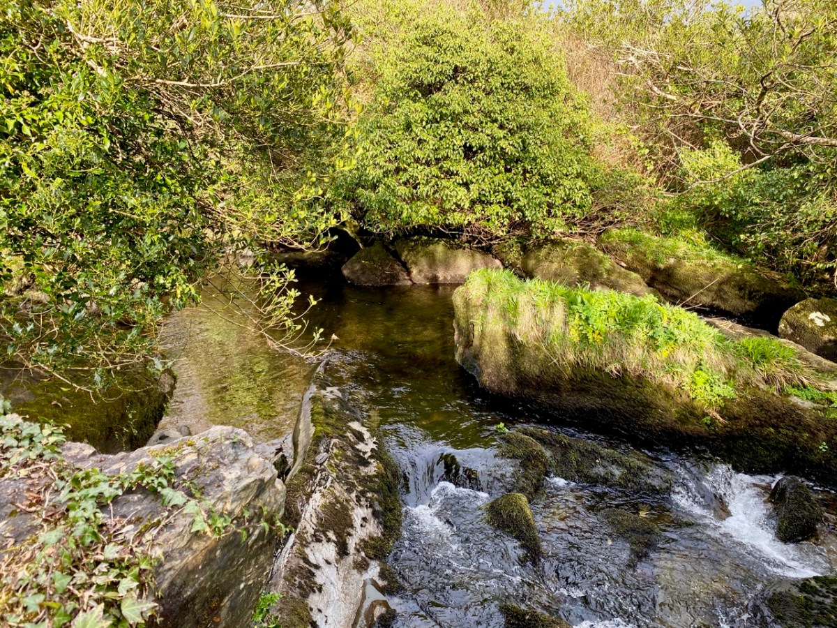
All the way down the Cascades you will see evidence of the scouring of the rocky river bed, and huge ‘erratic’ boulders that have been carried from the mountain-top on the ice flow, to be deposited randomly – and picturesquely – in the torrent. Of course, you don’t have to know about geology to appreciate the walk: you are free to explore the well kept path and delight in this West Cork experience which has been laid out for us all through the mighty efforts of the Drimoleague Heritage Walkways and the Sheep’s Head Way.

Previous episodes in this series: Sweet Ilen : Sweet Ilen – Part 2 : Sweet Ilen – Part 3 : Sweet Ilen – Part 4 : Sweet Ilen – Part 5 : Sweet Ilen – Part 6

O’Donovan Country (Sweet Ilen – Part 6)

Here’s a forerunner to Roaringwater Journal (above)! Philip Dixon Hardy lived from 1794 to 1875 and described himself as a poet, bookseller, printer, and publisher. He was the first to use a steam-powered printing press in Ireland and was the editor of The Dublin Penny Journal which was published every Saturday between 1832 and 1836. If you scroll through the contents you will see articles on all aspects of Irish life and accounts of many of his travels through the Irish countryside, including a series of ‘Rides through County Cork’. He was undoubtedly a man after our own hearts!

Continuing our own series of travels, exploring the Ilen River, we can’t help comparing our impressions of Castle Donovan (above) – which overlooks the Ilen after it has cascaded down from the summit of Mullaghmesha and broadened out to cross the plains of Cork County – with those that are recorded by Philip Dixon Hardy as he journeyed over the same terrain in 1828, almost two centuries ago.

The upper picture is taken from the Ilen plain looking north, with the castle tower set against the high mountains beyond. Above is our earliest known photograph of the castle: it comes from the Lawrence Collection, National Library of Ireland, and could date from the 1880s. Juxtapose this with the Dublin Penny Journal view, 50 years before that, shown under our header at the top of the page. Bear in mind that Hardy carried out most of his travels on foot:

. . . We will now suppose the the tourist who rejoiceth in the splendour of a wheel carriage has proceeded without any interruption to Bantry. We will act in the charitable capacity of guides to the humbler pedestrian. Him we would advise to select the old, or northern road, leaving Dunmanway to the west. Thence it proceeds to the lofty hill of Mielane, and surmounting a rising ground beyond this eminence, the vale of Castle Donovan (which forms the subject of our sketch) opens on the sight. It is hard to conceive of any thing more wild, more desolate, more lonely, than this savage vale. … I reached the eminence which commands it from the east, about two in the afternoon of a warm sunny day. Trees there are none in this district, and the heathy covering of the hills was incapable of showing any marks of the advancing season. In the centre of the vale beneath me, was the tall, castellated tower; an extensive marshy meadow lay beyond it, bounded by the steep rocky hills of Mullaugh-Nesha, and its peaked brethren. . .

Philip Dixon Hardy, 1828, from The Dublin Penny Journal

The Castle itself has a fairly well recorded history, although its origins are unclear. James N Healy – The Castles of County Cork, The Mercier Press 1988 – suggests that the first fortification on this site dates from the early 13th century, but the present building is more likely to be 16th century. There is a carved stone in a window embrasure on an upper floor which bears the date 1626, but Healy suggests that this marks a later restoration of the castle, and gives a probable date of construction between 1560 and 1584.

The castle was traditionally the seat of the Clann Cathail sept of the O’Donovans, and was first named ‘Sowagh’. I can’t find any origin for this name. Healy gives an intriguing story:

. . . A local story is told of how O’Donovan and his ally MacCarthy Duna hanged a protestant woman at the castle in 1641, as a result of which the curse of a corroding drip from the main arch was placed on the building. This would not cease until the demise of the last of the family: the castle does not appear to have been lived in again.

James N Healey – 1988 The Castles of County Cork

It is recorded that Cromwell’s officers attacked the castle and it was left in ruins. Returning to The Dublin Penny Journal, Philip Dixon Hardy describes his exploration of the remains:

. . . I diverged from the road to examine the old castle; it is founded on a rough rock whose surface, forming the floor of the vaulted hall of the castle, retains all its original inequalities. Strange notions of comfort must our ancestors have had! Here were men, possessed of a large tract of country, sufficiently wealthy to build several castles; and in this one, the constant residence for many years of a principal branch of the family, the floor of the hall is bare rock, which never has been levelled, and which is intersected with two or three ridgy indentations, nearly two feet in depth, and extending almost the whole length of the apartment!

PHILIP DIXON HARDY, 1828, FROM THE DUBLIN PENNY JOURNAL

This is what Hardy is referring to – in fact it’s not ‘the vaulted hall of the castle’! It’s the lowest floor – at ground level – and was in all likelihood a store or cattle shed. It might even have been a dungeon. The main ‘hall’ of the castle is on an upper level.

The castle structure was stabilised by the OPW and public access to the grounds was granted in 2013. Restoration works included the replacement of key elements of the masonry to prevent further decay. The ‘peep-hole’ above allows a view by a sentry located just inside the entry door of who might be standing outside: perhaps an undesirable character (below). Actually, rather than a peep-hole, this little tunnel through the wall was for a chain that secured an outer iron gate called a yett.

When you visit Castle Donovan, look over the low wall to the west of the tower itself. You will see an archaeological feature which is quite rare today, but was once common all over Ireland from early times: a cereal-drying kiln (also called a corn-drying or grain drying kiln).

What is a cereal-drying kiln? Here is a good summary, from Irish Archaeology. It looks almost megalithic – and the earliest one dated so far goes back to the Bronze Age, but there are many that are medieval, and this one at Castle Donovan is likely to be contemporary with the castle itself. The structure has a fire-pit (below) and trays of cereal were placed above the fire, and in this case under a capstone, presumably protecting the corn from wind and rain.

This extract from the 25″ Ordnance Survey map (late 19th century) shows the castle overlooking the Ilen River and, to the south, the bridge and the old school. To finish off this episode in the Ilen series, we will pause at this bridge. There’s plenty to see – good views back to the castle from the arches of the stone bridge; the site of the old National School. There is no sign of the building today, but there is a memorial stone:

This is from the Duchas Schools Folklore Collection, dating from 1937:

. . . Walkers: it was no uncommon thing for people to walk to and from Cork in olden times – often carrying baskets. Tradition has it that a woman Magg Hourihan of Deelis did the double journey on foot in one day (approximately 90 miles). Biddy Regan of Castledonovan is credited with the same feat – The occasion in both cases being the payment of Rent (which at that time was often paid through Cork butter factors). Herewith is a direction given to people who were unacquainted with the road – Bí ag dul soir, soir, soir – go bfeidir séipéal ar thaobh do láimhe deise ni fada uait Corcaig annsan.


Seán Ó Súilleabháin, múinteoir Deelish Co Cork

Previous episodes in this series: Sweet Ilen : Sweet Ilen – Part 2 : Sweet Ilen – Part 3 : Sweet Ilen – Part 4 : Sweet Ilen – Part 5

Ilen’s End (Sweet Ilen – Part 5)

It rises on a remote mountain-top in the wilds of Mullaghmesha townland and falls 500 metres from there to the Atlantic, over a length of 34 kilometres. I think it’s time to establish exactly where the river ends, and the ocean begins. As you can see from the photo above, the lower reaches are wide and shallow, and the estuarial waters are dotted with islands and islets, some of which are only revealed at the ebb of the tide.

Below Skibbereen, the river is fully tidal – and its character is constantly changing. The history of the waterway has also seen an evolution, from a busy highway carrying lighters filled with cargoes to the wharves in the town (in the 19th century there were five of them – and a Customs House), to the present day where it is a tranquil scene, only busy – in normal times – with the skiffs and light craft based at the Rowing Club (above): that establishment has produced some celebrated champions!

Oldcourt (above) was the transhipment point where laden ships from distant shores would leave their loads into the shallow draft barges that would take them upstream into the town. Today it is still a busy hub where vessels are stored, built and repaired – and also left to decay. The disorder of the place has a picturesque informality, and there is medieval history also: a rickety tower house stump stands guard over the apparent chaos. We have written about the boatyard (and the castle – and a ketch named Ilen) in a previous post.

You can cross a bywater of the Ilen by bridges at Inishbeg (above) and Ringarogy. Exploration of those two islands will reveal a number of view points over the main channel of the river to the north. The marked aerial map below shows the lie of the land, while the photos following show the wide views of the river in both directions from Inishbeg.

(Upper) looking upstream from Inishbeg, and (lower) a close view of The Glebe Burial Ground, also seen from across the main river at Inishbeg.

Downstream from Inishbeg: at the east end of the island we found an unusual large rock which appears to have a worked surface and a possible cup-mark. Below that rock is the lonely ruin of a structure which must have had a remarkable aspect over the whole width of the river. It would be easy to suppose that this ruin could have been part of a defence system, but there is no mention in the archaeological records of this, or of the rock. For now, they remain enigmas – but perhaps there is an alert reader out there who can shed some light?

Ringarogy has fewer accessible viewpoints than Inishbeg, but the long causeway and some prospects from high land indicate how the lower course of the river is punctuated with small, barren landfalls (above).

I have made up my mind that the Ilen proper must ‘end’ at Turk Head – the pier, above, is looking towards the main channel of the river. It is also a small but substantially built harbour – partly hewn out of the low cliffs – which can shelter a few light fishing craft.

But the reality of the downstream ‘end’ of the river seems to be defined on the 6″ OS map above, which dates from the early 19th century and shows the townland names and boundaries as they were recognised at that time. There, a clear line is drawn between the island of Inishleigh to the north, and Spanish Island to the south. To the east of that line, apparently, is the Ilen, while to the west is the edge of Roaringwater bay, which leads into the ocean, but first skirting a myriad of rocks and small islands, only some of which have names.

There may be traditions – unknown to me – that define where the river mouth lies. Perhaps it doesn’t really matter. If you are a seafarer carrying goods bound for Skibbereen you will have to negotiate your way safely through a fairly convoluted channel before entering a contrasting world of wide, calm water and rich, smooth meadowlands: Sweet Ilen.

Previous episodes in this series: Sweet Ilen : Sweet Ilen – Part 2 : Sweet Ilen – Part 3 : Sweet Ilen – Part 4

Sweet Ilen – Part 4

. . . A trip down the river Ilen, as it pursues its winding and picturesque course from Mount Owen (the hill of streams) to the harbour of Baltimore, a distance of about fifteen miles, is the most pleasant and interesting excursion during the summer months. Starting from Skibbereen, we can either steam or row, according to our pleasure, or rather as the tide suits, to Baltimore and Sherkin, a distance of eight or nine miles, and then out the harbour’s mouth, and cruise about the islands of Carbery . . .

Sketches in Carbery – Daniel Donovan 1876

The idea of boarding a ‘steamer’ in Skibbereen and voyaging down the Ilen River to its mouth is an attractive one – but not an option for us as we continue our exploration of this waterway in 2021, a year which has started with a frightening escalation of the Covid pandemic which is forcing us to stay ever closer to home. Fortunately, we are not too far from the broad stretches of the tidal Ilen as it nears its destination and meanders through peaceful, sylvan meadows passing by deserted quays, once active with commerce and vitality, now at rest apart from the occasional fisherman or boat mender.

We are fortunate to have a large archive of our photographs taken in West Cork over many years. I am revisiting (below) my pictures of the river at Creagh taken in 2014. This is on the south side of the Ilen, and certainly out of bounds for us at the moment because of distance. Situated at Creagh is a secluded burial ground, the resting place of Canon James Goodman who was Rector of Abbeystrewry Church, Skibbereen, during the nineteenth century. The three photographs below were taken there. My principal interest in him is the name he made as a collector of traditional music and a player of the uilleann pipes – that most singular of Irish instruments that we have also celebrated elsewhere. When the Canon died in 1896 he asked that his pipes were buried with him at Creagh – and they were. But, not long afterwards, they were dug up again. If you want to know what happened to the pipes and where they are now, read my earlier post about the Canon here.

We can travel to Skibbereen for essential supplies, and the road to that town runs close to the river. Just off the road, down a winding boreen, is another burial ground, Aghadown, beautifully situated beside the water – Finola has written about it here. Here are some views we took a few days ago during a prolonged spell of clear winter sunshine.

. . . The view down the river from near Creagh, on a fine day, is attractive. The Ilen, winding in a serpentine course towards Baltimore harbour, shining and sparkling in the sunlight like a silver thread, and dotted over with a multitude of rocky islets, whose recesses form a safe retreat and favourite feeding ground for flocks of sea fowl during the winter months. Looking backwards, we are chiefly struck by the almost complete absence of wood, and the patchwork of irregular fields, enclosed by earthen banks, and the prominences so much admired by tourists and strangers, most probably on account of the novelty and singularity of the scene . . .

SKETCHES IN CARBERY – DANIEL DONOVAN 1876

The Ilen is a ‘Blueway’ – designated as a recreational activity trail for use by activity enthusiasts – anyone, in fact, who wants to get out and experience some of the best scenery in Ireland on the water itself or, like us, on foot. This would be in normal times, of course. Undoubtedly there are better days ahead. We look forward to an untrammelled future so that we can continue this exploration of a waterway to its source in the mountains ‘. . . where rain clouds perpetually hover about . . .’ and to its outfall towards Carbery’s ‘Hundred islands’. When we can make those expeditions, we will bring you there through the pages of our Journal.

Here’s a bonus today: you can hear an aspect of our recent walk! Donovan mentioned in 1876 that the river was a favourite feeding ground for flocks of sea fowl during the winter months. We can vouch for that, having heard these sounds close to the Glebe burial ground. The loudest voices are – I think – from redshanks:

Previous episodes in this series: Sweet Ilen : Sweet Ilen – Part 2 : Sweet Ilen – Part 3

Sweet Ilen – Part 3

Here is the third instalment of our wanderings along the Ilen – one of West Cork’s most significant rivers. Once a commercial highway connecting the merchants of Skibbereen with the coastal ports and scattered islands, it now plies its way from the summit of Mullagmesha Mountain taking a lazy and often secret course through lush valleys and pastures, showing itself to us only at a few crossing points until, boosted by many tributaries, it becomes a wide tidal waterway heading for Baltimore and the wild Atlantic.

Our explorations so far have taken us from Newcourt upstream to Ballyhilty Bridge. We have yet to ‘top and tail’ the river: that will be done, but only when restrictions and conditions permit. I doubt that we will be searching for the source in the mountains until next spring at the earliest, as those high paths are closed for safety at present. But, back in November, we were able to continue north from Hollybrook Demense and Maulbrack townland.

Images from top include the header showing the river at Caheragh with the distant mountains to the north; an anglers’ seat at Ballyhilty; and the broad river just upstream of Ballyhilty Bridge. The river is still wide as we follow it, but becomes shallower and is interrupted by rapids mixing with contemplative, deep pools (above).

Large parts of the river here are lost in the hinterland. We try to follow every small trackway that might take us close to it – and which certainly take us to the back of beyond – and catch the occasional glimpse such as this one (above), which is probably an ancient ford.

We delight in travelling the tiniest of boreens, which invariably open up new vistas for us, and make us feel so happy to be living in such a beautiful part of our world! This little used lane (above) takes us to the next crossing point – romantically named, as far as I can ascertain, Graveyard Bridge.

Two extracts from the OS maps of c1840 (upper) and c1897 (lower) show the site on the border of Ballaghdown South and Caheragh townlands, where an ancient road crosses the Ilen River. Both maps show a ford and stepping stones at this point. Today we found a bridge there dating (we believe) from the early twentieth century. We also found the remains of the old ford: large cobbles providing a trackway down the the waters’ edge: Finola is following the original line of the lane (below).

This river crossing was of significance in Medieval times. ‘Blessed Mary de Caheragh’ was a monastic site, said to be situated on the hilltop commanding the view above the graveyard. It was no doubt founded here because of the proximity of the watercourse.

1317 December 28, Geoffrey Fitz John de Cogan is presented by the King (by mandate to the Bishop of Cork), to the church of the Blessed Mary de Catheragh, in the King’s gift, by reason of his wardship of the lands and heir of John de Cogan

Tuckey’s Cork Remembrancer, from Durrus History

There are certainly earthworks, embankments and (reputedly) a souterrain on the high ground which overlooks the river, the ford site and the adjacent burial ground connected to Caheragh village. The Historic Environment Viewer suggest that this site (shown on both maps above) is a ringfort and makes no mention of an ecclesiastical settlement. I braved fierce cows and barbed wire to make the steep climb: it was well worth the effort (and the risk) for the views across the old fort ramparts which opened up to the distant mountains. There is no sign, today, of anything remotely monastic up there on the hill. There is another ‘ringfort’ a short distance to the south – enigmatically named ‘Bishopland’. Nowhere can I find any records or accounts of the fort or the small settlement to the south of it named Bishops Village: this confirms that there is still so much early history to be unravelled in the Irish landscape.

Caheragh Graveyard is located beside the Ilen here and it is also well worth making the time to explore. The village and present day church at Caheragh (which has some fine stained glass) are some way off to the west. You can see the spire on the skyline in this view from the graveyard itself (below).

The extensive Caheragh graveyard (above) – a view from the ringfort (and possible medieval site) looking across the river. The ford, roadway and later bridge are on the far left of the picture. Burial grounds are always a magnet for us, and we spent significant time exploring. The Skibbereen Heritage Centre has done sterling work researching this and many other West Cork graveyards: you will find information online here, and more in the Centre itself, which merits many visits. One grave which was important for me is that of the parents of Captain Francis O’Neill, the Chicago Police Chief who came from West Cork and collected thousands of Irish traditional dance tunes and songs which he gathered from the many Irish settlers in Chicago and who had kept the tradition alive far away from their birthplaces. I wrote about Chief O’Neill a few years ago. The ‘Celtic Cross’ memorial below was commissioned by Francis during a visit home in 1906.

Erected By Captain Francis O’Neill

Chicago, USA To the Memory of his Parents

John O’Neill of Tralibane

Died Nov 1867 Aged 66 Years

And Catherine O’Mahoney

Died 1900 Aged 88 Years

Requiescant in Pace

Amen

inscription in Caheragh Graveyard, West Cork

This aerial view above clearly shows the bridge that has replaced the old ford and stepping stones at this site. You can also see the ‘fort’ on the hilltop above it. The bridge should not be dismissed because it is relatively modern: it’s an example of practical civil engineering in Ireland, possibly in the early years of the Free State, and is functional rather than elegant, serving the purpose of helping to open up some of the remoter regions of the west of Ireland.

Here are the previous episodes in this series: Sweet Ilen and Sweet Ilen – Part 2

Sweet Ilen – Part 2

Last week our first exploration of Sweet Ilen – our West Cork river – began in Skibbereen town from whence we travelled north, as far as Ballyhilty Bridge. Today, we return to the town and unearth some further history on the way downstream.

On the aerial view of the Ilen flowing south-west from Skibbereen (above) I have marked some significant locations. Abbey or ‘New’ Bridge is the first crossing point and the limit of navigation for large craft. The Old Quay shown to the north of Deelish House was the offloading point for ships arriving from the south; barges or lighters carried the goods further into the town. The narrow gauge Schull & Skibbereen Tramway (as it was originally named) left Skibbereen Station and followed the Ilen as far as Newcourt Halt, alongside the main road.

The Ilen Valley Railway, which brought the regular gauge railway into Skibbereen from Bandon and Cork, shared its station at Skibbereen from 1886 with the 3ft gauge line going to Schull. This picture (above) of Skibb Station in 1960 (courtesy Roger Joanes) shows the main line on the right and the remains of the narrow gauge terminus on the left.

The header picture shows Abbey or ‘New’ Bridge as it is today. The upper picture above, with an enlarged section of it underneath is fascinating for our study: it was taken in around 1893 by Robert French for the Lawrence Collection and is reproduced here with the permission of the National Library of Ireland. It shows the bridge – which was built in 1822 – with the road to Skibbereen running to the left, as it does today. But it also shows the tracks of the tramway on the left hand side of the road. Also in the main picture is a white building below the Abbeystrewery Graveyard. That marks the point at which the entrance to the graveyard adjoins the road, and is in fact a level-crossing keeper’s cottage, now gone.

Marked on this extract from the OS 25″ survey (late nineteenth century) is New Bridge on the right, the Graveyard with its level-crossing and the quay above Deelish House

The first halt on the tramway travelling from Skibbereen was at Newcourt. Here is a ‘sylvan scene’ of a train at that halt in 1939 (courtesy of W A Camwell, taken from the invaluable volume The Schull & Skibbereen Railway by James I C Boyd, published in 1999 following over 40 years of research):

If that doesn’t bring a nostalgic tear to your eye – for those apparently idyllic days of leisurely rural life in Ireland – I don’t know what will. But the little railway had its ups and downs (before vanishing altogether in 1947). Its association with the Ilen River was there at the beginning: the very first locomotive was named ‘Ilen’ and here it is (below), having just pulled a passenger train into Schull Station, probably in the 1880s (photo from the collection of Mrs E McCarthy):

Why is it so strangely shaped? Because the line was conceived as a tramway or ‘light railway’ to comply with the conditions of The Tramways of Ireland Act 1862, which allowed tramways to be built along public roads, thereby reducing costs. Because of this, locomotives were treated in the same way as city trams – where very low slung bodywork supposedly prevented serious injury if they struck pedestrians or animals sharing the roads – something that could be echoed on West Cork’s boreens where donkeys and cows were quite likely to be encountered.

. . . To comply with regulations sheet-steel skirting was taken down to a level approximately 3 inches above the rails; the rolling and pitching of the engine probably produced shrieks of protest as it scraped the rails . . . An impressively tall chimney was surmounted by a ‘chip-pan’ spark-arrester . . .

James I C Boyd 1999
Tram Engine Ilen at Skibbereen in 1906 – photo by H Fayle

It’s a shame, but this unique piece of machinery failed because it lacked sufficient sustained power to climb the relatively steep inclines on the tramway, and its later replacements were more conventional engines (such as the one pictured at Newcourt) fitted with cow-catchers.

OS 25″ survey extract, late nineteenth century. It shows the tramway diverging from the road just north of the entrance gate to Newcourt: there was evidently an ornamental avenue along that stretch of road leading to the gate, with arches over. Also on this map is located Newcourt Post Office (by the tramway halt), Mohanagh Dispensary and various landscape features belonging to the demesne

The Ilen River is broad and magnificent as it passes by Newcourt. You do see large boats on that stretch sometimes, but also many skiffs and small craft from the Skibbereen Rowing Club. The grand house – New Court – is gone now, but the ‘designed landscape’ can be traced through the survival of ruined towers, gazebos and water-gates.

Ilen River frontage on the Newcourt Demense: from upper – the base of an ornamental tower fronts the constructed river wall; Mohanagh Dispensary ruin and another tower; prospect towards Skibbereen from the estate; substantial pillars which were part of a water gate on the south of the site – in the distance is the boatyard at Oldcourt

Finola has written previously about Newcourt, and there tells the story of another ‘water-gate’ which will be seen today by anyone travelling towards Skibbereen from the main road. We now return to Skibbereen ourselves to finish off this second episode of the series. This (below) was the bridge which took the road into the town over the Ilen prior to the present one: built in 1877, it was condemned as unsafe for heavy loads in 1953, but it took another ten years to replace it.

Above is Kennedy Bridge, Skibbereen, that was opened with due ceremony on Monday 15 June 1964 and named in honour of American President John F Kennedy. It has a centre span of 22 metres and two side spans each of 8 metres. First to cross the bridge on that day was Richard Burchill of Tragumna on a horse and cart! Information about these events – and much more – can be seen in the excellent displays in the Skibbereen Heritage Centre: formerly the town’s gasworks buildings and sited appropriately enough alongside the Ilen River!

Look out next time for more adventures exploring the further northern reaches of the Ilen!

Here is the first episode in this series: Sweet Ilen