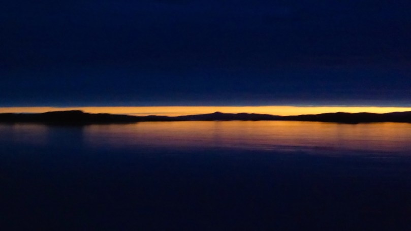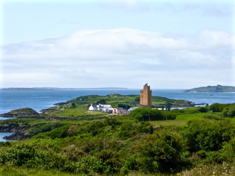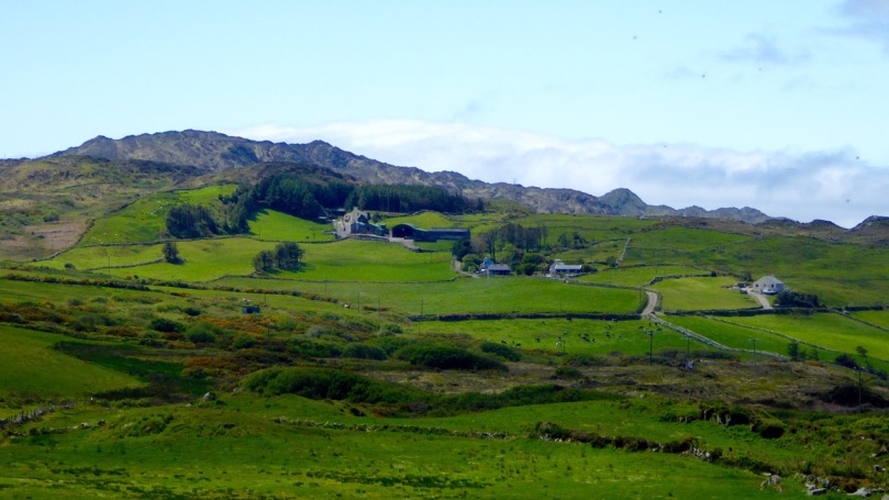
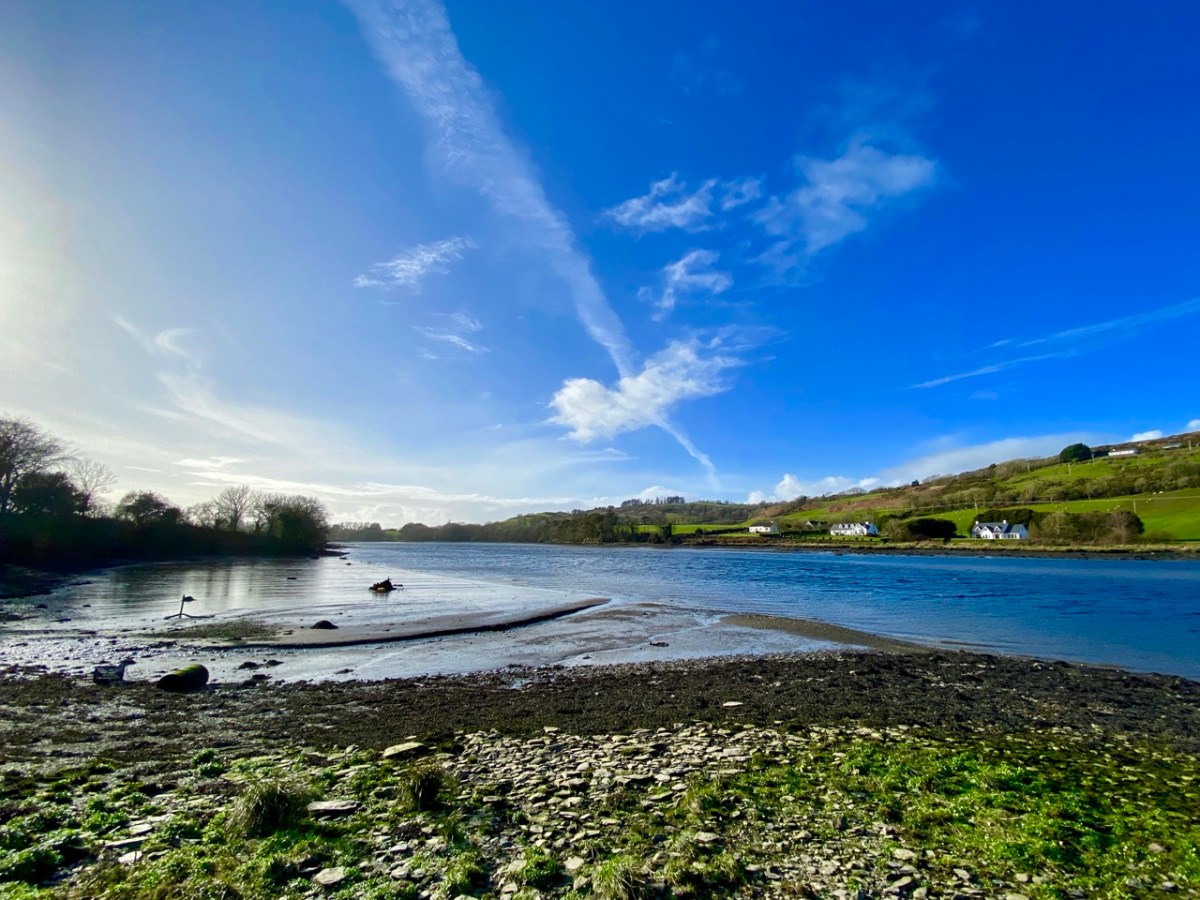
It rises on a remote mountain-top in the wilds of Mullaghmesha townland and falls 500 metres from there to the Atlantic, over a length of 34 kilometres. I think it’s time to establish exactly where the river ends, and the ocean begins. As you can see from the photo above, the lower reaches are wide and shallow, and the estuarial waters are dotted with islands and islets, some of which are only revealed at the ebb of the tide.
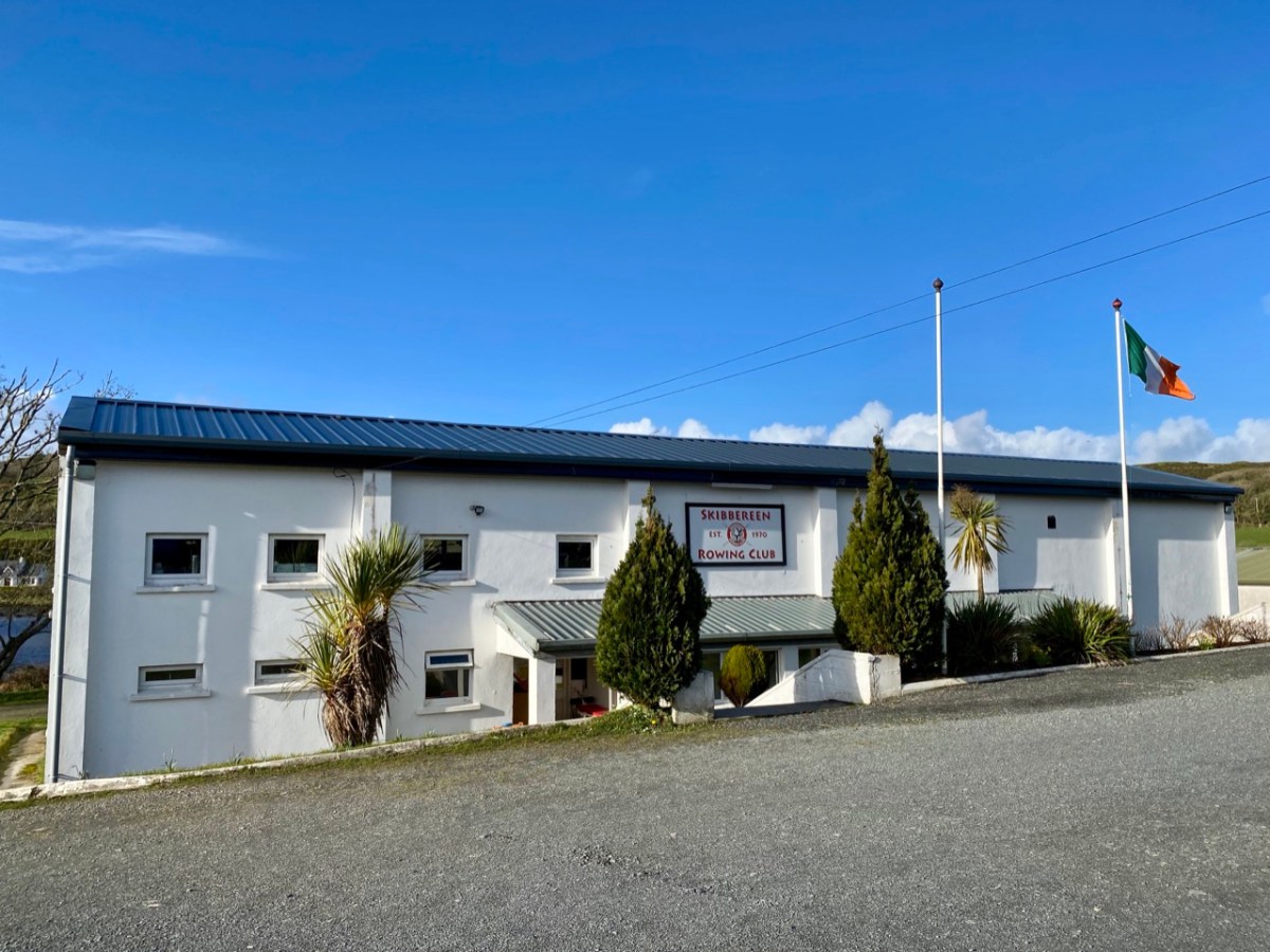
Below Skibbereen, the river is fully tidal – and its character is constantly changing. The history of the waterway has also seen an evolution, from a busy highway carrying lighters filled with cargoes to the wharves in the town (in the 19th century there were five of them – and a Customs House), to the present day where it is a tranquil scene, only busy – in normal times – with the skiffs and light craft based at the Rowing Club (above): that establishment has produced some celebrated champions!

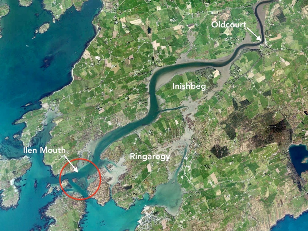
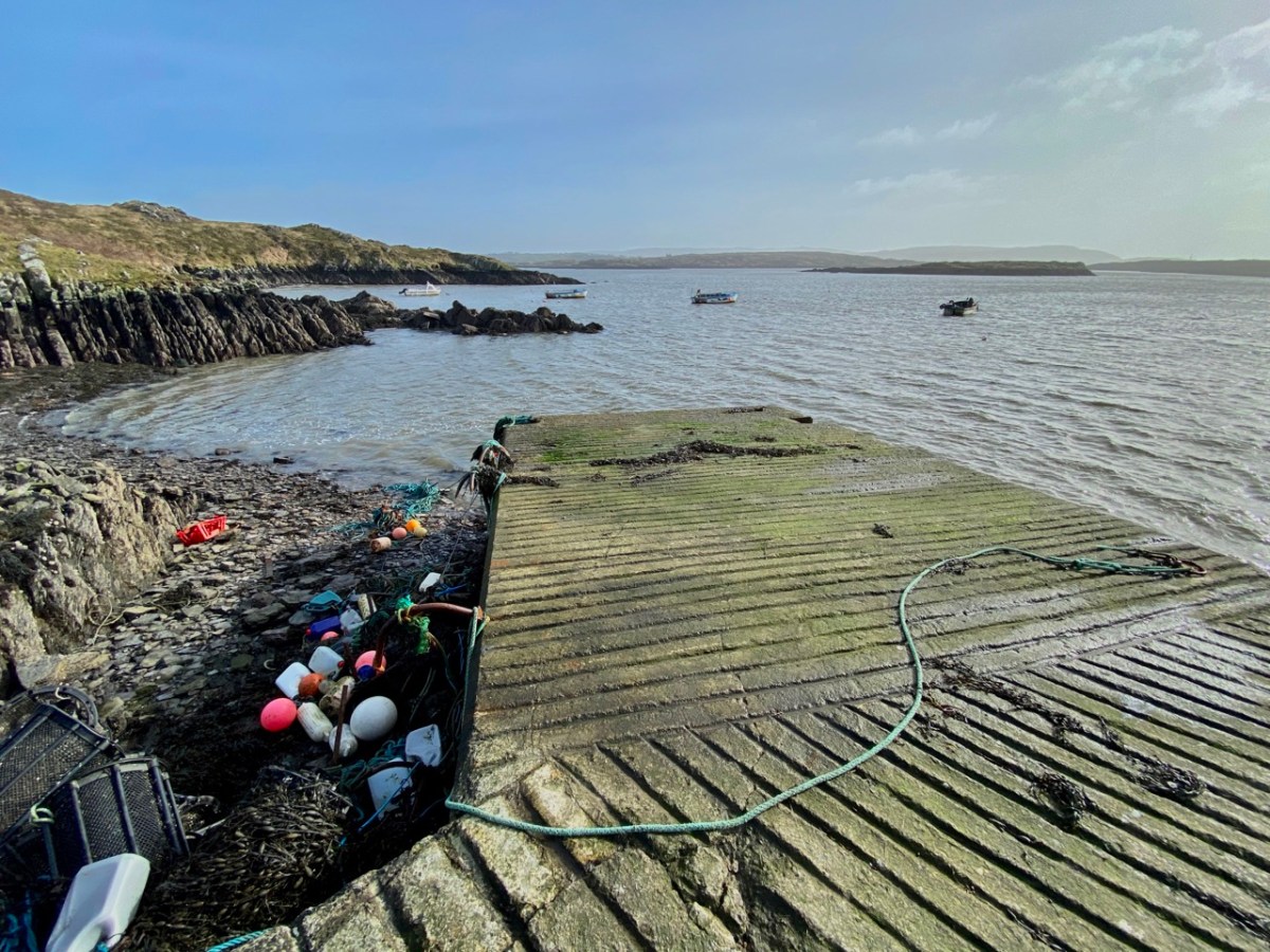
Oldcourt (above) was the transhipment point where laden ships from distant shores would leave their loads into the shallow draft barges that would take them upstream into the town. Today it is still a busy hub where vessels are stored, built and repaired – and also left to decay. The disorder of the place has a picturesque informality, and there is medieval history also: a rickety tower house stump stands guard over the apparent chaos. We have written about the boatyard (and the castle – and a ketch named Ilen) in a previous post.
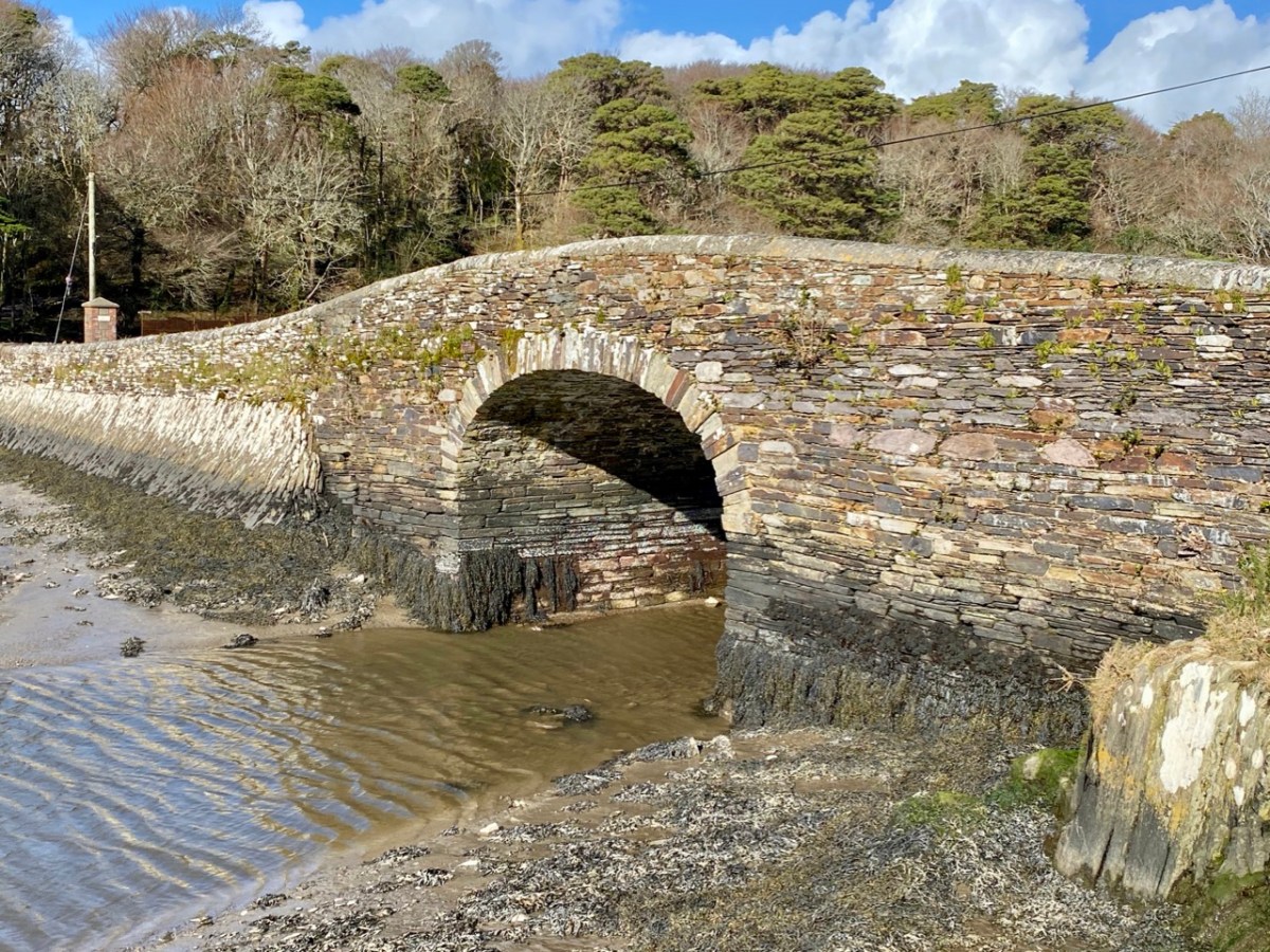
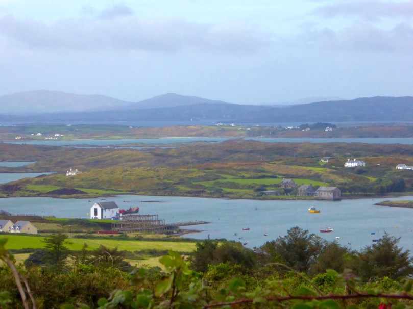
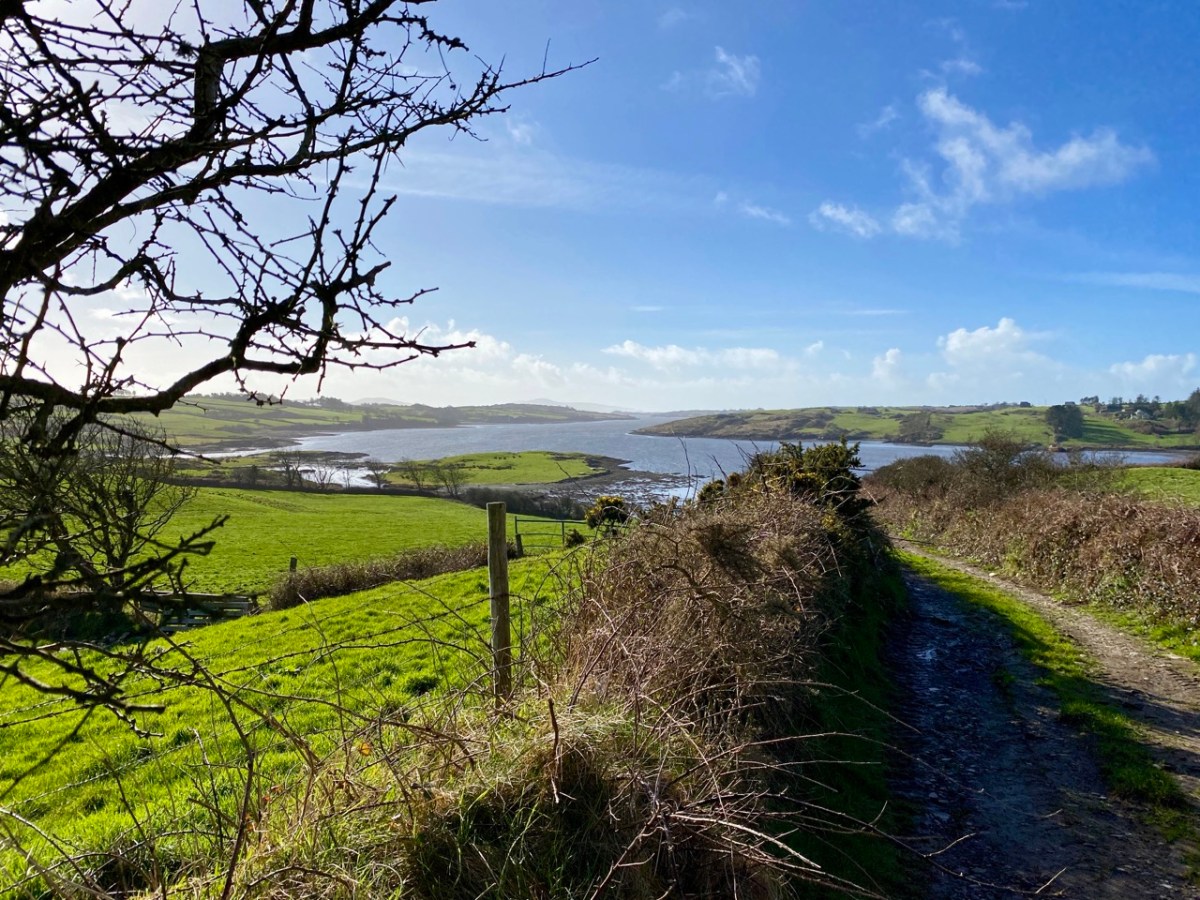
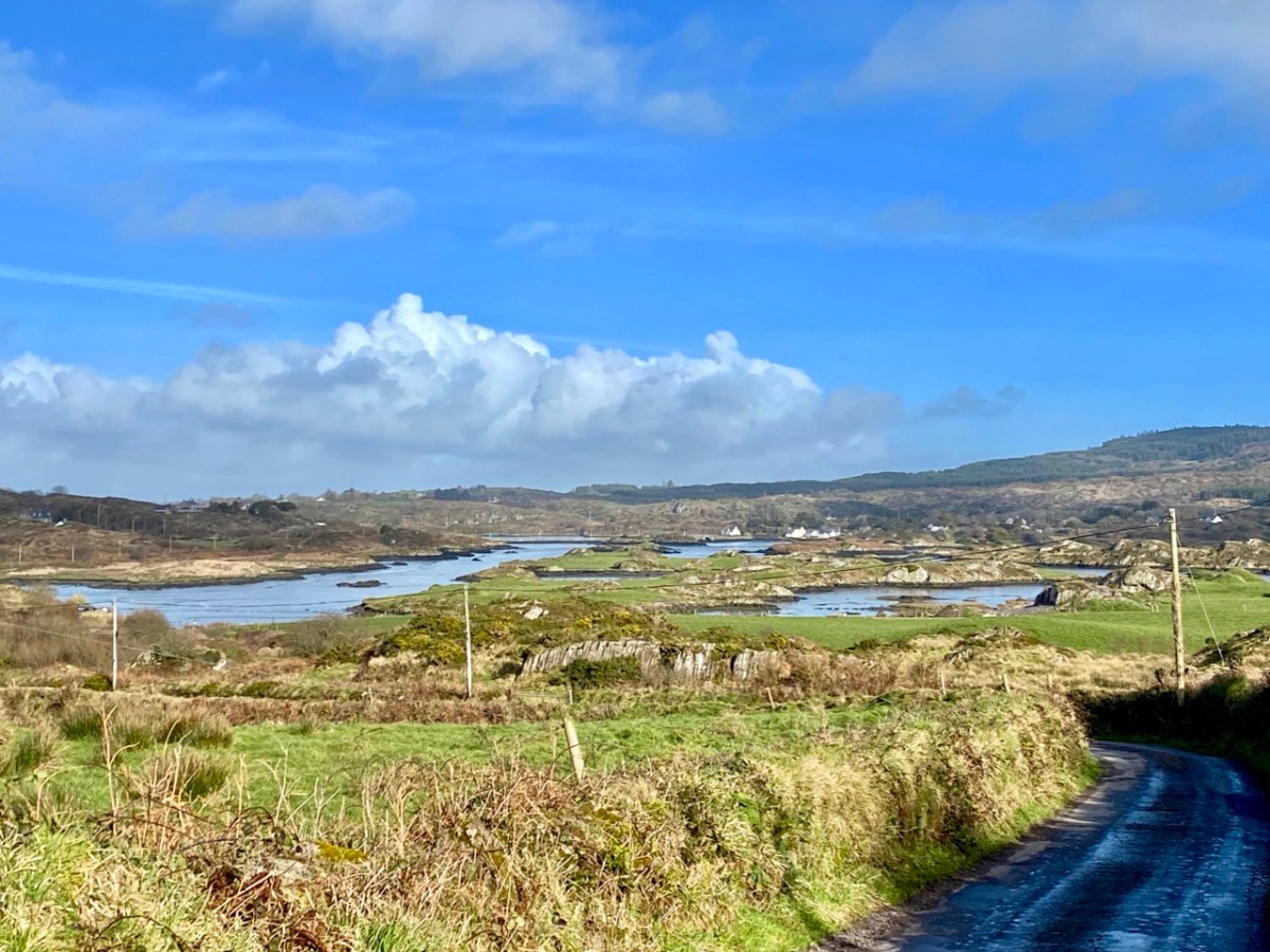
You can cross a bywater of the Ilen by bridges at Inishbeg (above) and Ringarogy. Exploration of those two islands will reveal a number of view points over the main channel of the river to the north. The marked aerial map below shows the lie of the land, while the photos following show the wide views of the river in both directions from Inishbeg.
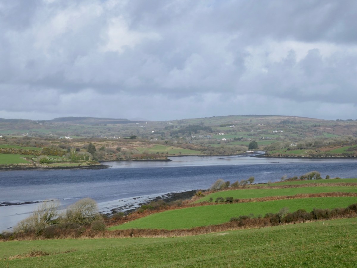
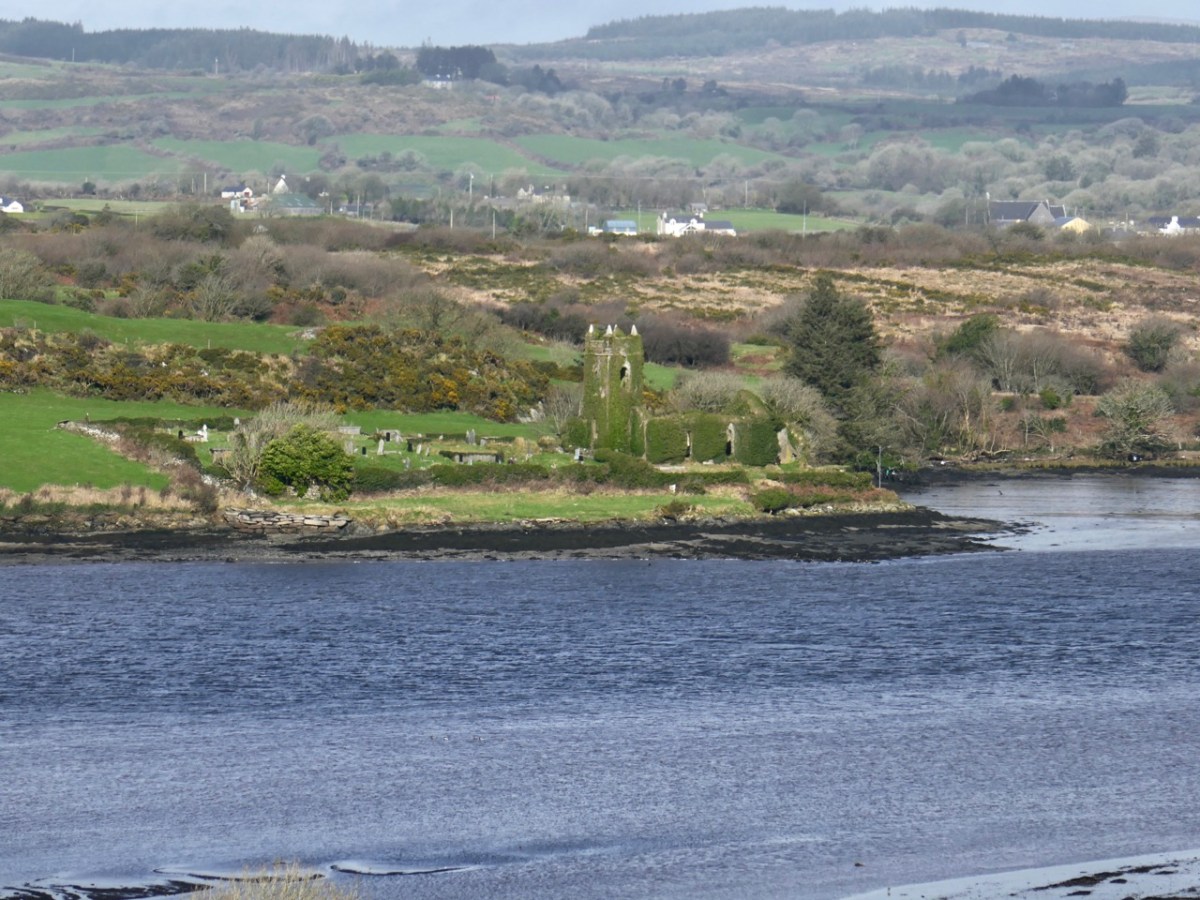
(Upper) looking upstream from Inishbeg, and (lower) a close view of The Glebe Burial Ground, also seen from across the main river at Inishbeg.

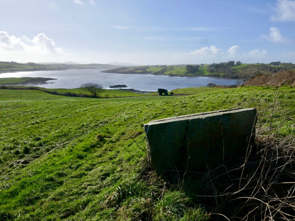
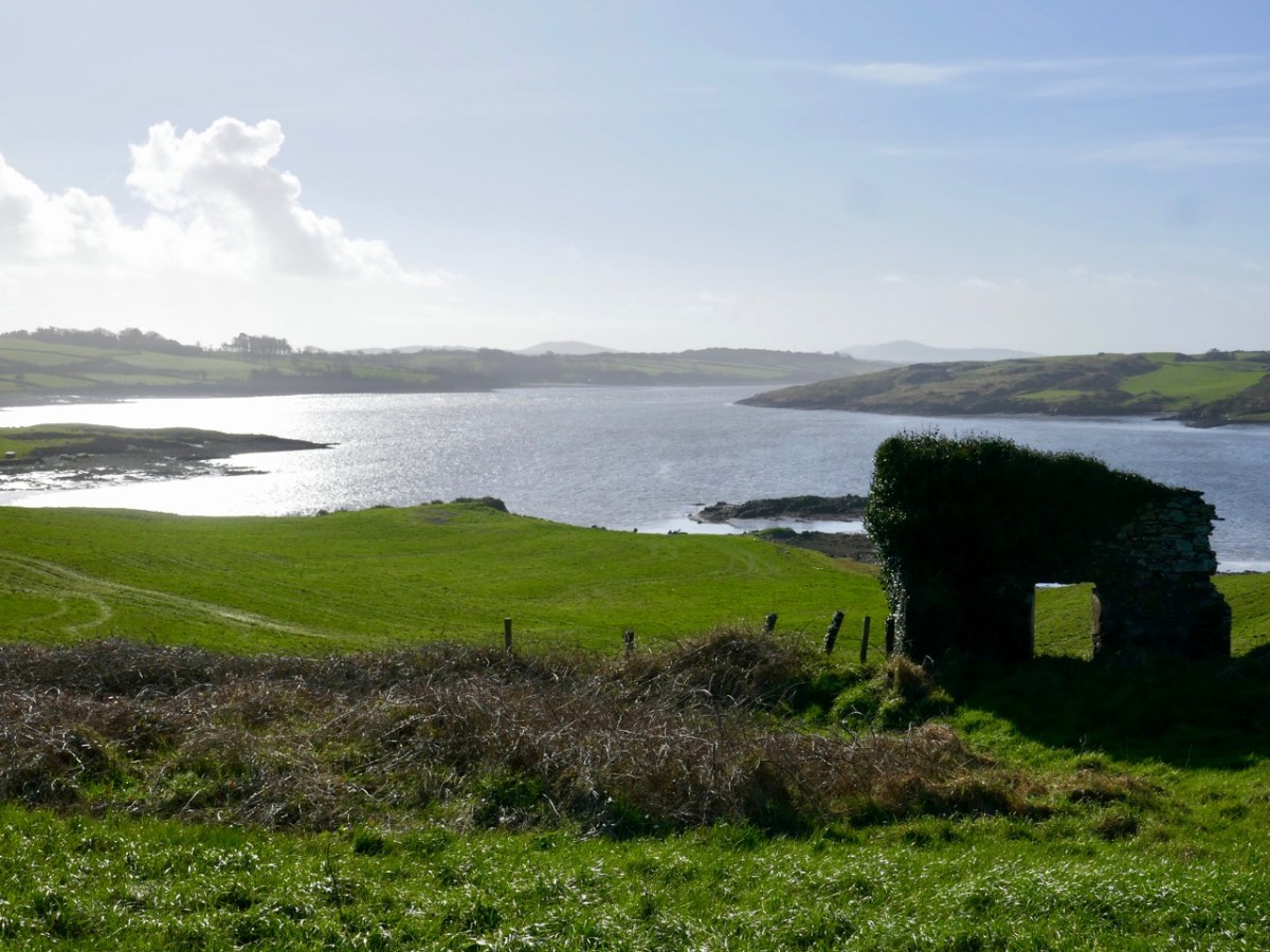
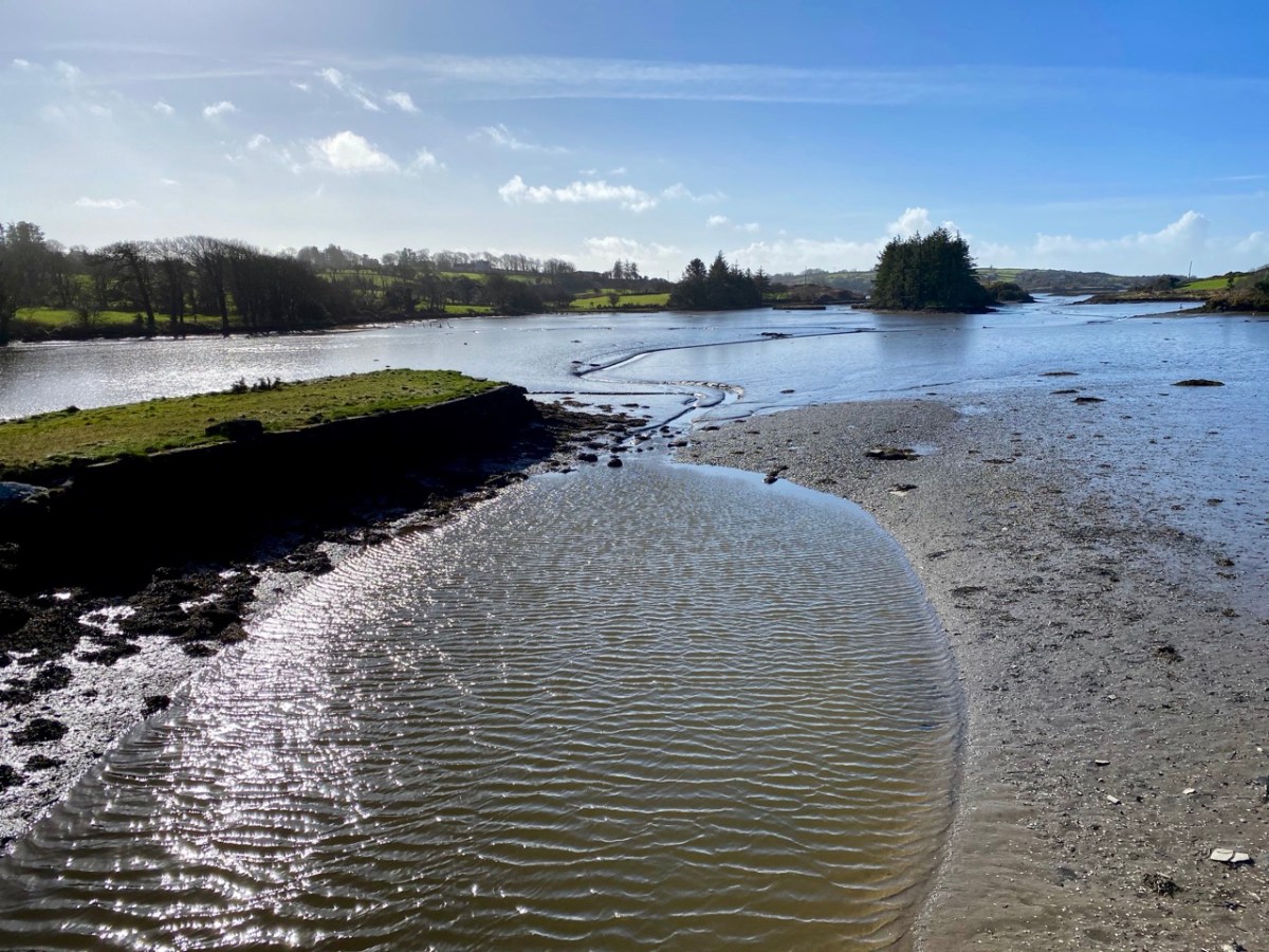
Downstream from Inishbeg: at the east end of the island we found an unusual large rock which appears to have a worked surface and a possible cup-mark. Below that rock is the lonely ruin of a structure which must have had a remarkable aspect over the whole width of the river. It would be easy to suppose that this ruin could have been part of a defence system, but there is no mention in the archaeological records of this, or of the rock. For now, they remain enigmas – but perhaps there is an alert reader out there who can shed some light?
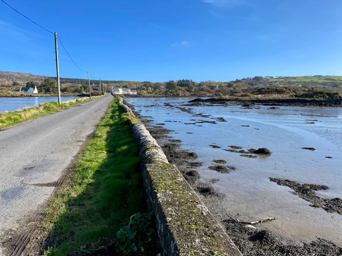
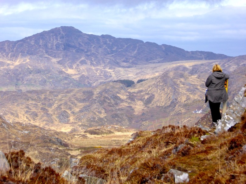
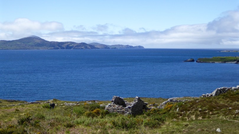
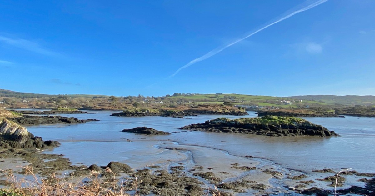
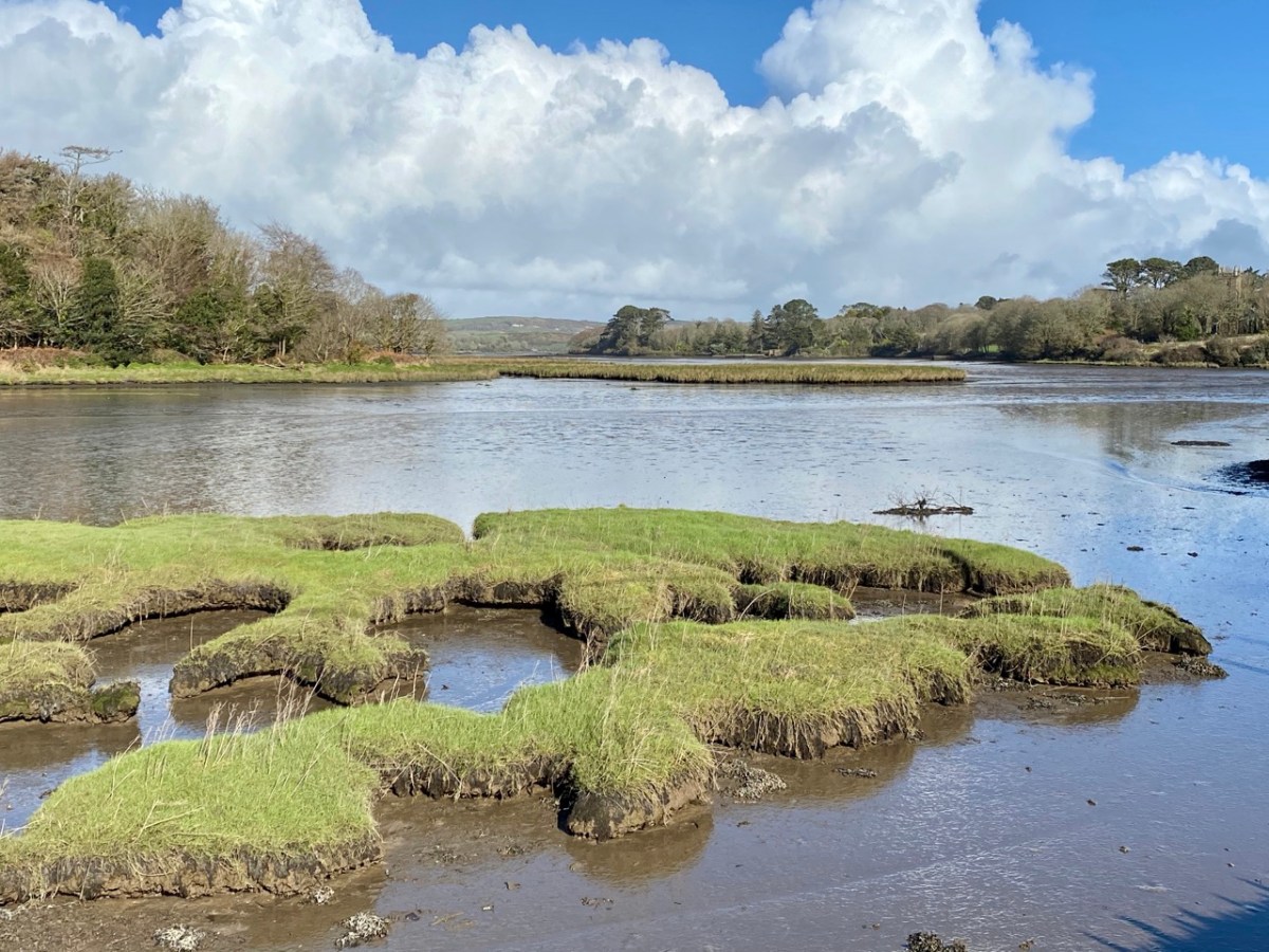
Ringarogy has fewer accessible viewpoints than Inishbeg, but the long causeway and some prospects from high land indicate how the lower course of the river is punctuated with small, barren landfalls (above).
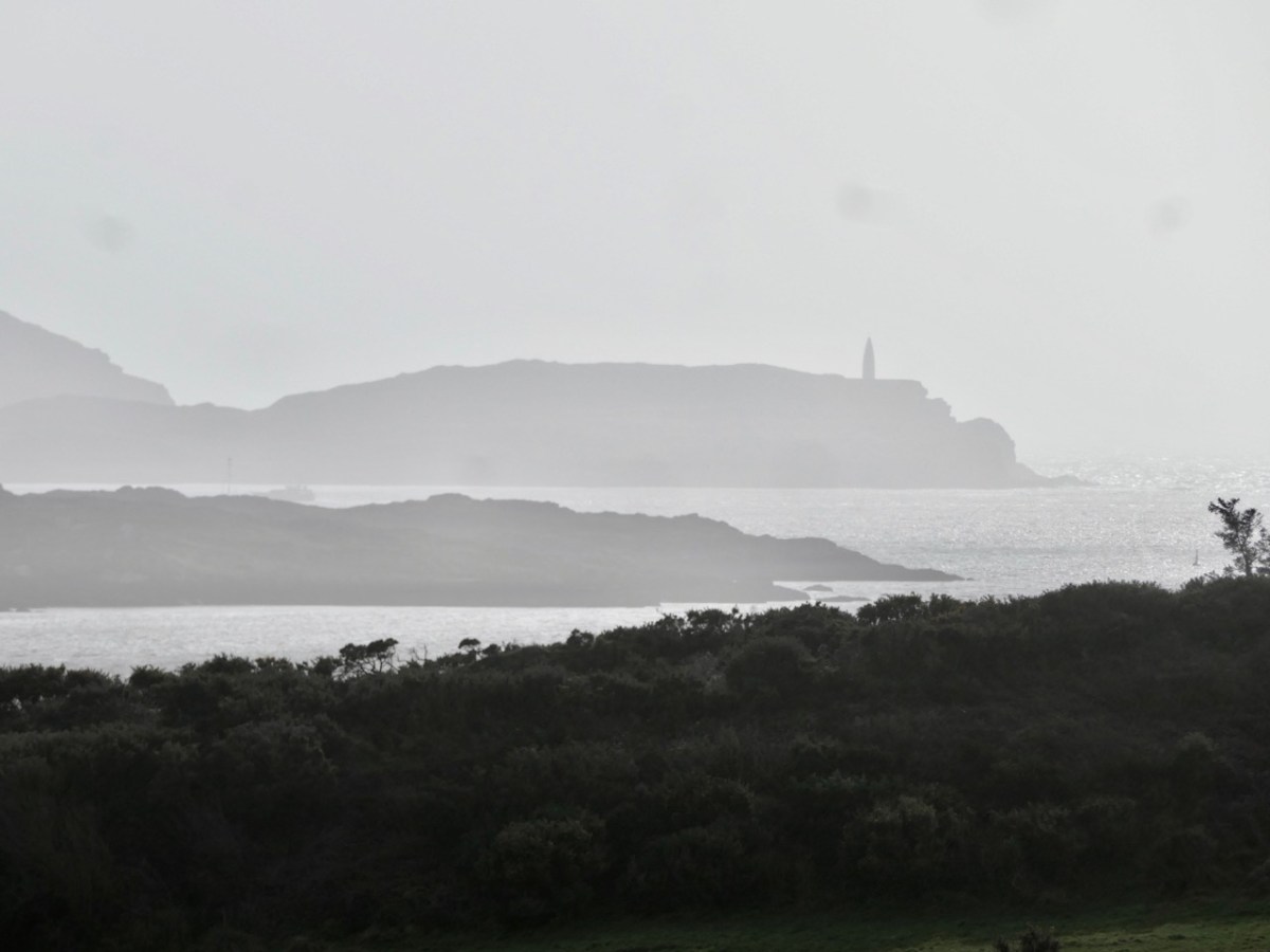
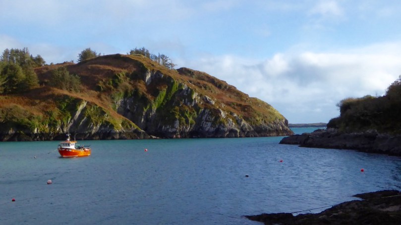
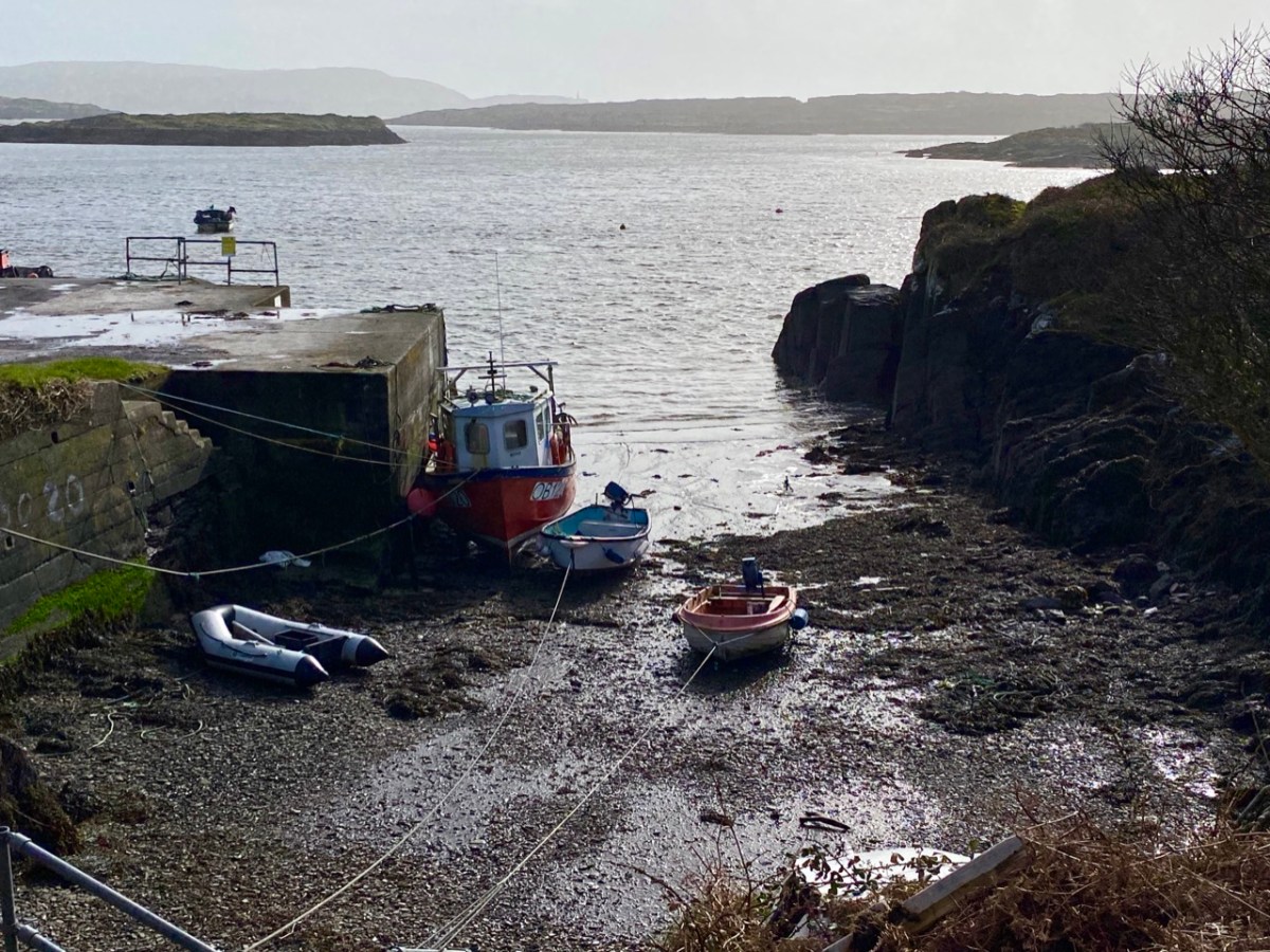
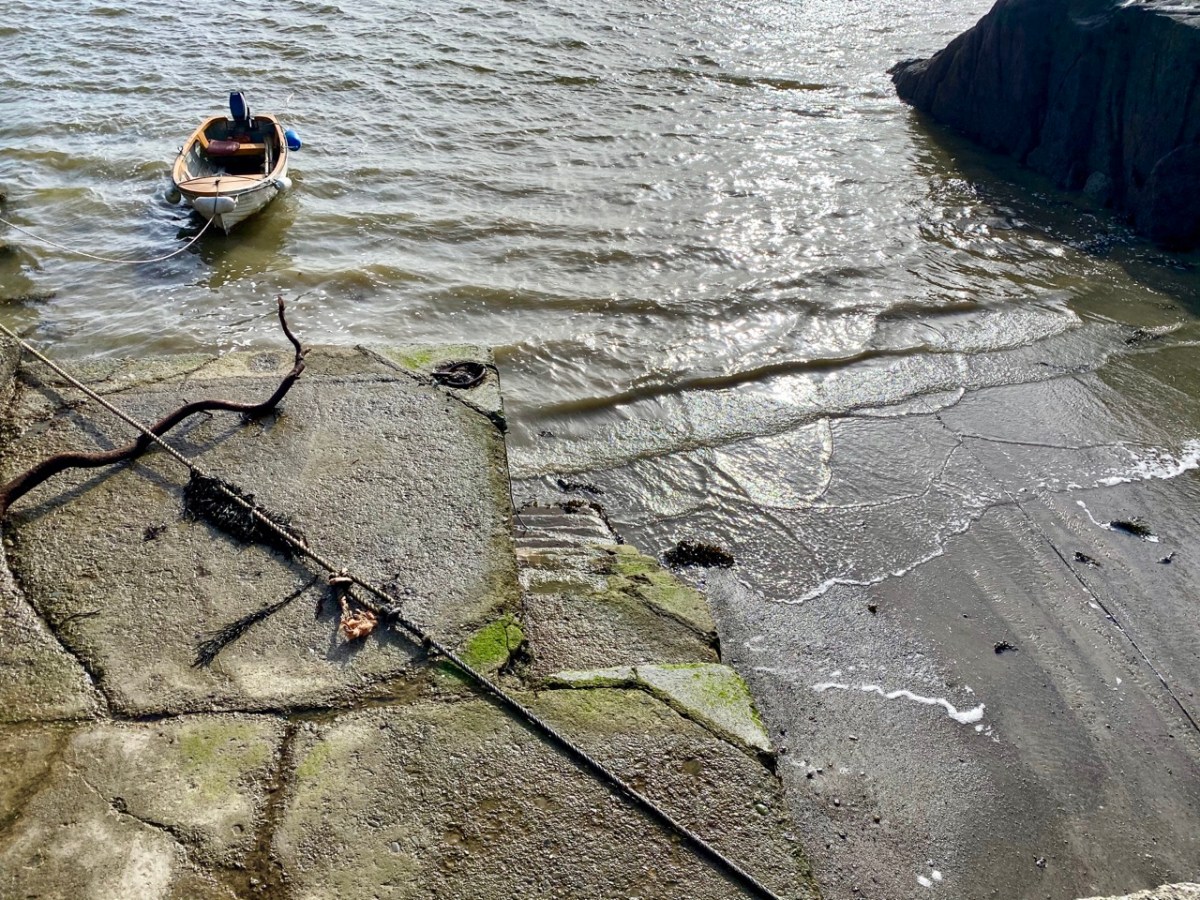
I have made up my mind that the Ilen proper must ‘end’ at Turk Head – the pier, above, is looking towards the main channel of the river. It is also a small but substantially built harbour – partly hewn out of the low cliffs – which can shelter a few light fishing craft.
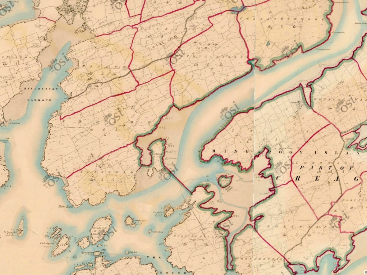
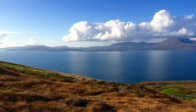
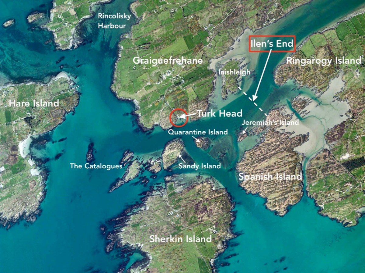
But the reality of the downstream ‘end’ of the river seems to be defined on the 6″ OS map above, which dates from the early 19th century and shows the townland names and boundaries as they were recognised at that time. There, a clear line is drawn between the island of Inishleigh to the north, and Spanish Island to the south. To the east of that line, apparently, is the Ilen, while to the west is the edge of Roaringwater bay, which leads into the ocean, but first skirting a myriad of rocks and small islands, only some of which have names.
There may be traditions – unknown to me – that define where the river mouth lies. Perhaps it doesn’t really matter. If you are a seafarer carrying goods bound for Skibbereen you will have to negotiate your way safely through a fairly convoluted channel before entering a contrasting world of wide, calm water and rich, smooth meadowlands: Sweet Ilen.
Previous episodes in this series: Sweet Ilen : Sweet Ilen – Part 2 : Sweet Ilen – Part 3 : Sweet Ilen – Part 4