West Cork Rocks 2

Every now and then I republish one of Robert’s classic pieces. This one is from five years ago. We were both fascinated by the West Cork landscape and, being Robert, he wanted to get under the skin of it all. So what follows is his exploration of what makes West Cork, well, West Cork.
West Cork Rocks, by Robert, from 2021

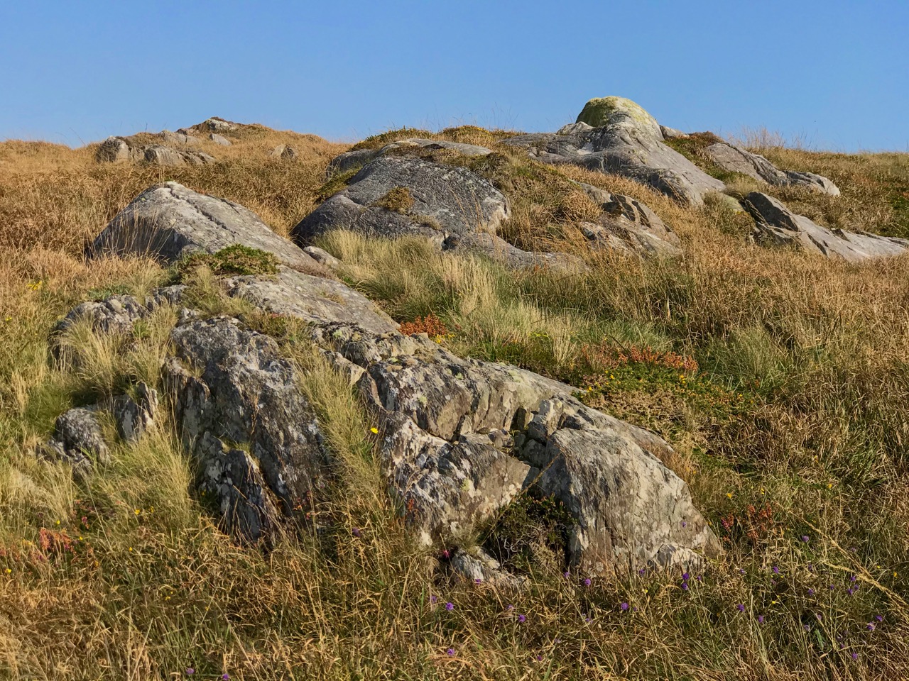
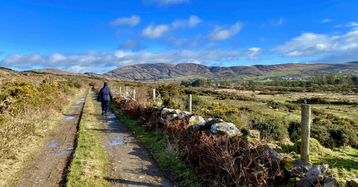
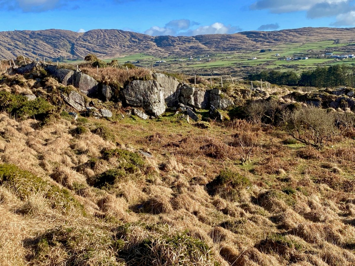
It certainly does! But this post is – literally – about rock: the hard, knobbly kind that is underneath us, surrounds us, and which has historically built our environment. In the picture above, taken on a clear February day during the most severe Covid lockdown, Finola is walking through beautiful West Cork. Beyond her is the great, gaunt outcrop of Mount Gabriel. Beside her is a traditional stone wall: its design unchanged over centuries. In the landscape all around her are rocks – large and small – scattered in the rough pasture.
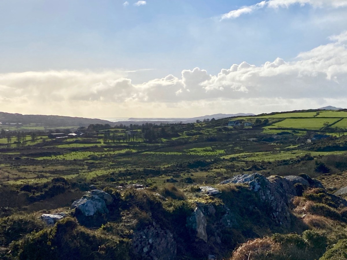
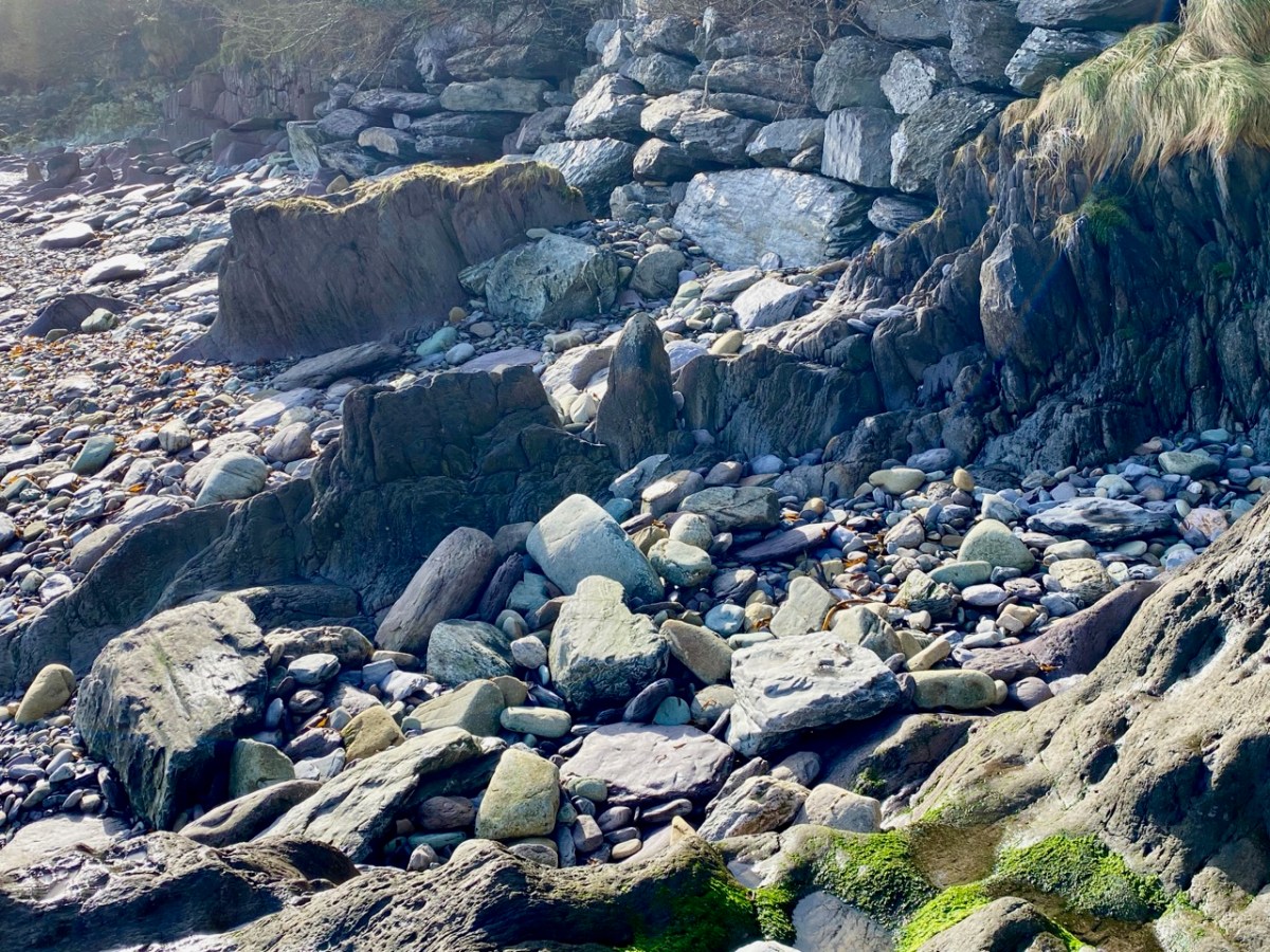
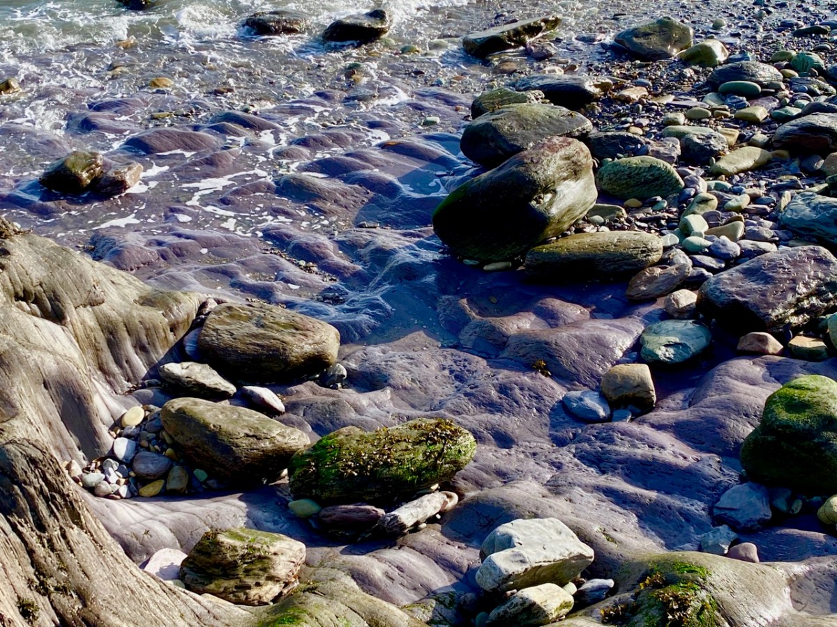
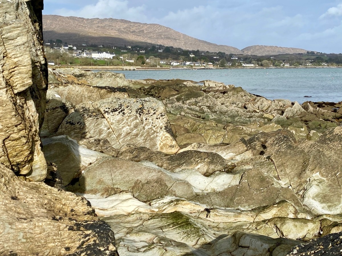
In the distance, of course, is the coast: there are very few places in West Cork where you cannot, at least, catch a glimpse of the sea – and so many where you can immerse yourself in it, or stand on its shore and admire the infinite textures which those same rocks display. It’s mostly Old Red Sandstone: that’s the correct geological term. It was laid down in the Devonian period – a while ago now: between 400 and 300 million years, in fact. This followed an era during which our mountains were built, known as the Silurian times. Continents were shifting and separating, and what was to become Ireland was a great arid desert – deserted: there was no-one around to see it!
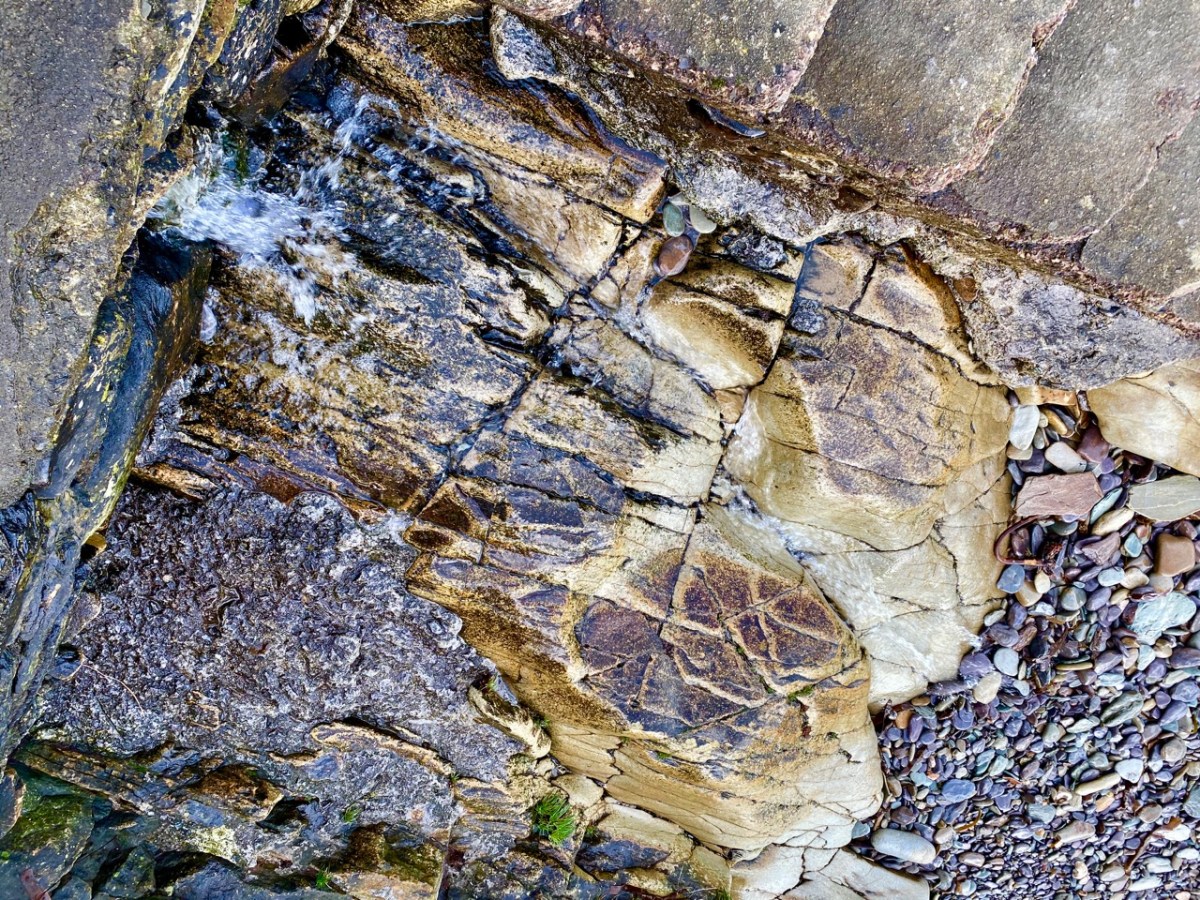
Old Red Sandstone: in fact it varies in colour depending on its local history. Broadly, some of the mountain rocks are purple-grey, while those closer to the sea could be greeny-red, but that is probably far too wide a generalisation. The sheer beauty is in the infinite shapes and colours. What artist needs any finer palette?

In those deserted times, an ‘Old Red Sandstone Continent’ extended over what is now northwest Europe, but it is worth noting that in ‘our’ part of it – the Munster Basin, covering today’s Kerry and Cork – we have one of the densest masses of this rock in the world: at least 6 kilometres thick. And we have to appreciate what it has given to us – high mountain spines sweeping steeply down to an indented shoreline of coves, creeks and inlets, with the myriad mottled islands that we oversee. An unparalleled, unfolded world.
After the ‘desert’ period, but much later – only about a million and a half years ago – came the Pleistocene Epoch. the word is from the Greek pleistos and kainos – meaning ‘most recent’ – and that brings us almost up to date. That was a time of great climate events: deserts were inundated and then covered in ice sheets 3 kilometres thick, while moving glaciers tore up the rock surfaces, advancing and retreating several times. Eventually, what had been desert became arctic tundra. It is supposed that the ancestors of our present day life forms happened along during this epoch, and managed to survive. But we don’t find any traces of them until after the last ice sheet retreated in our part of the world – only about 12,000 years ago. The landscape that was left behind was inundated by rising sea levels, and the very last land bridge (between Cornwall and the eastern tip of Wexford) was washed away after that, but not before the Giant Elk and its mammal relations had got a foothold on the western side. The snakes, however, didn’t make it. And what of the humans?

Well, the humans embraced the rocky landscape. They made their marks on the outcrops; then they moved the rocks about, and made architecture from them. We can still see their efforts, some 5,000 years later.
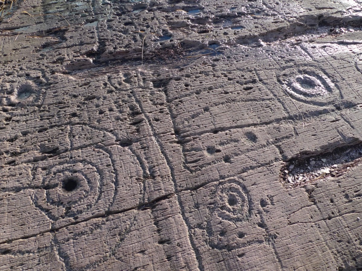
These Neolithic carved motifs could be the earliest human interventions on the natural Irish landscape: they might date from 3,000 BC. These examples are from West Cork, and were only discovered a few years ago. Finola wrote the definitive thesis on Rock Art when she studied at UCC in the 1970s, and we have staged exhibitions and given talks on the topic.
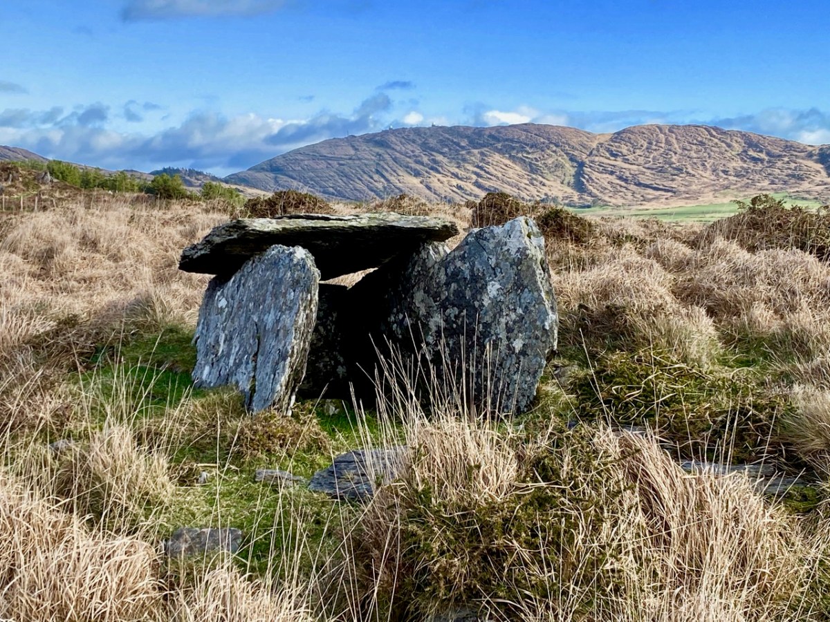
A couple of thousand years later, Irish people started to build things with the stones they found around them. This wedge tomb under the backdrop textures of Mount Gabriel at Ratooragh has rested here since the Bronze Age. Finola’s post today uncovers the fascinating folklore stories that generations have told about such artefacts. But restlessly working the fabric of the landscape – Old Red Sandstone – into walls, shelters, tower houses, temples and towns has never ceased.

Crookhaven Through Time

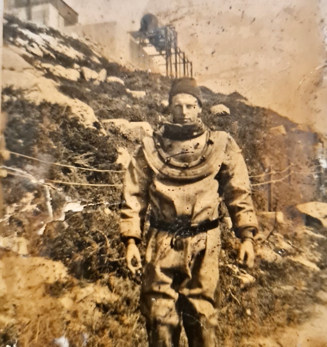
I’ve had the most marvellous emails from James Goggin – thank you James! Three of his grandparents came from Crookhaven – and the fourth, well that’s him in this spectacular photograph. Yes, he’s in a diving suit. James tells me: His name was Allen G Tyson, and he had come from Wales to work at the Crookhaven Quarry, seconded from Flintshire council in North Wales. Aggregates from the quarry were sent to North Wales amongst other places. He was a tall man and brilliant mathematician and civil engineer and lived with us in later life until his death in ’79. He designed the first dual carriageway in N.Wales and worked on the blue jubilee bridge in Queensferry (similar to and at the same time as Sydney and Newcastle bridges). 

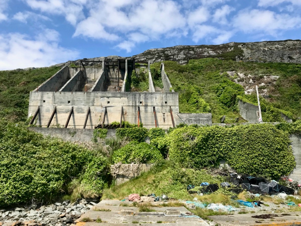
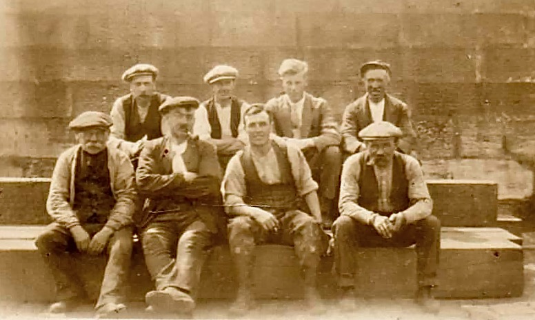
The quarry, of course, is the monumental structure, above, that Robert wrote about in his post Industrial Archaeology in Crookhaven, one of our most popular posts. It seems that anyone who has ever been to Crookhaven has wondered about that wall of concrete across the bay. James also sent me this shot of a group of men who worked at the quarry. Cloth caps and moustaches were the order of the day – except for Allen Tyson – he’s the suited and coiffed individual in the back row.

Once in Crookhaven, Allen met and married Bridget O’Driscoll. They had 5 children, including James’s mother Phyllis, who married Joe Goggin. Joe died not too long ago at the age of 91 and still has a sibling in Clonakilty, James remembers happy family holidays in his Nana’s house, the old Barracks next to the Marconi House in the village. He is full of stories and precious memories.

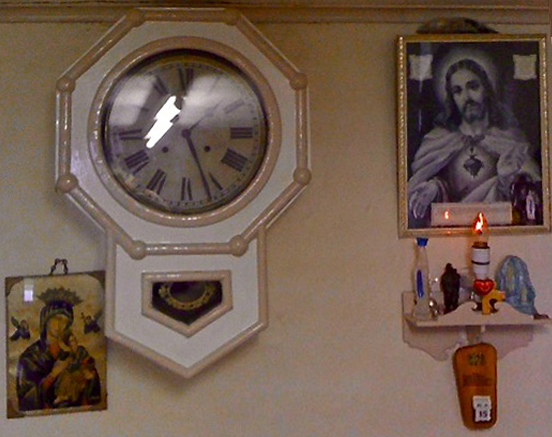
My father used to row coal to the Fastnet for a shilling or two.  He told me of an uncle who used to shoot the sea mines ( like prickly conkers) with a .303 from Carrigeen cliffs off Rock Street. Nana would climb down to the sea for driftwood for the fire into her 70s. I remember the sacred heart picture and light, and the lights would flicker as I believe there was a generator in the village for power. A large old transistor radio in the kitchen with all the valves visible. Cold cupboard (a safe) under the stairs. Soda bread (and marmalade daily made in the range.  

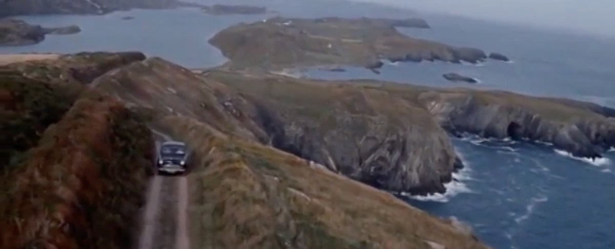
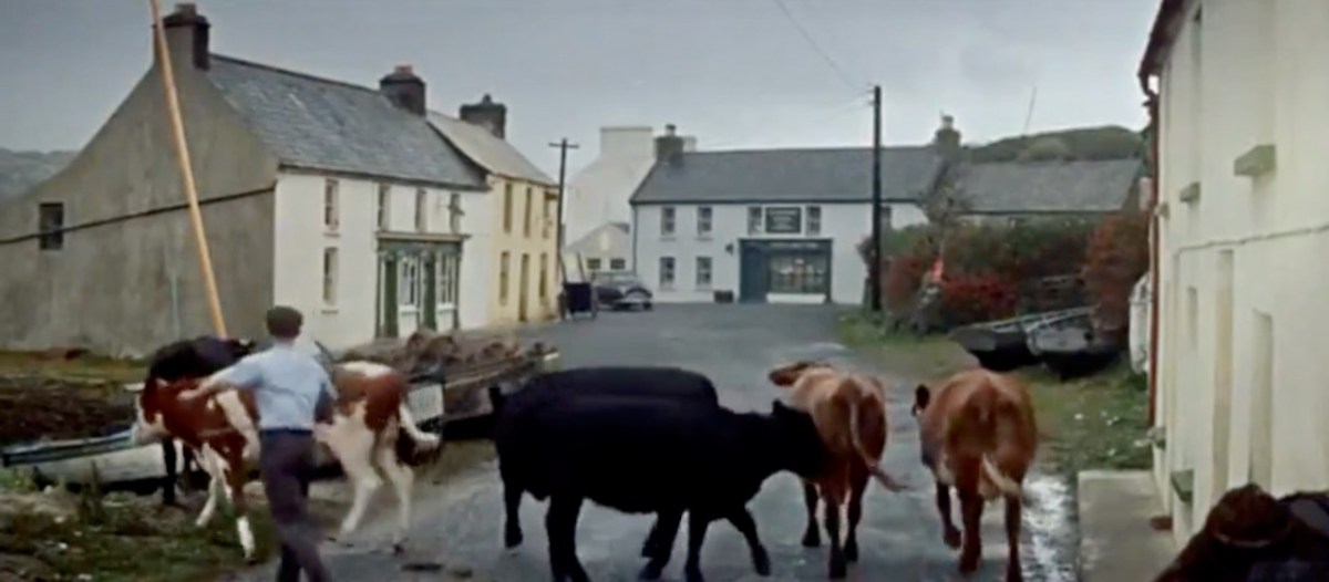
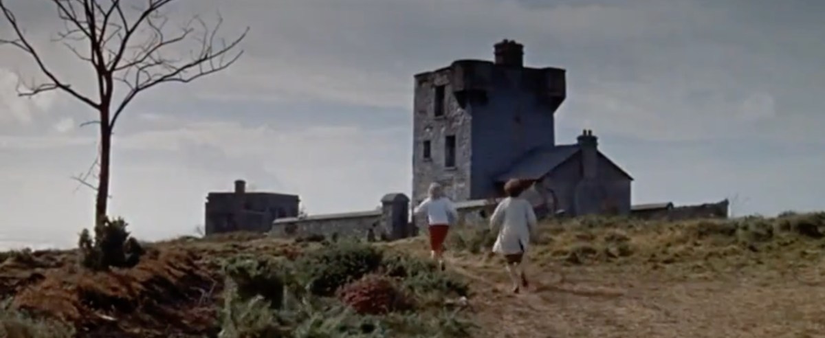
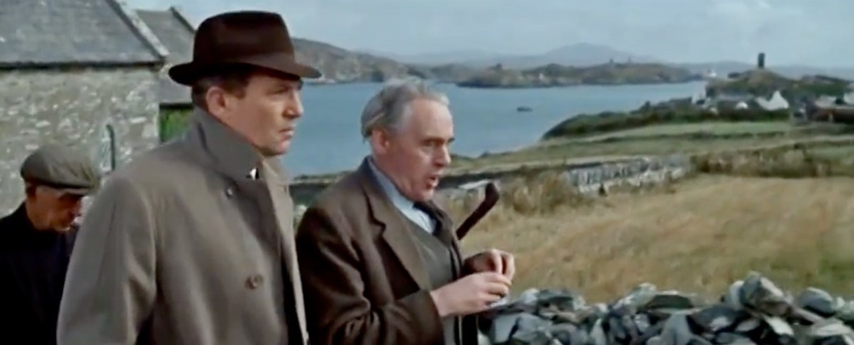
James told me several other stories about his father, whom he admired and loved. But he also sent me another gem! A link to a movie, I Thank a Fool, made partly in Crookhaven, and released in 1962. You can watch it here – the Crookhaven parts start around the 1:09 mark and it is a complete nostalgia fest for those of us who love this part of the world. Here are some screen captures.

The village is still totally recognisable.

The 1804 Brow Head Signal Station is used as a ‘house’ where some of the action takes place. You can see Marconi’s Wireless Telegraph station in the background. For more on these structures go here for Marconi and here for the Signal Station.

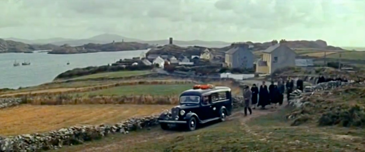
There is also a funeral at St Brendan’s Church. The procession gives us a marvellous opportunity to see back to Crookhaven and the mining magazine that was once clearly visible behind the town, but which is no longer a mark on the landscape. I’ve used that as my feature image at the top of the post, but here’s another take. That’s Peter Finch as the leading man.

I love it when this kind of serendipity happens – thanks again, James. I know that anyone who loves Crookhaven, as we do, will really like this walk through past times.

Marconi and Brow Head

WordPress, to my dismay, has now labelled all the content on this blog as ‘by Finola’. This is due to the necessity, for various reasons, of adjusting ‘ownership’ and management parameters. It’s a bit heartbreaking, though, as it’s no longer easily discernible which of the posts (approx half of the 1,132 posts so far) were written by Robert. So every now and then I thought it would be good to highlight one of his older posts. So here is his wonderful account, written originally in 2014, and titled In Search of Ghosts, of the spirits that haunt Brow Head.

ruin

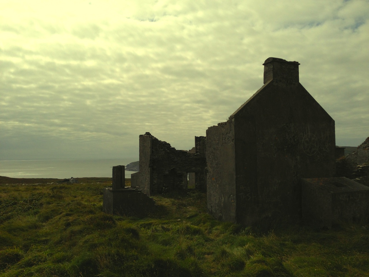
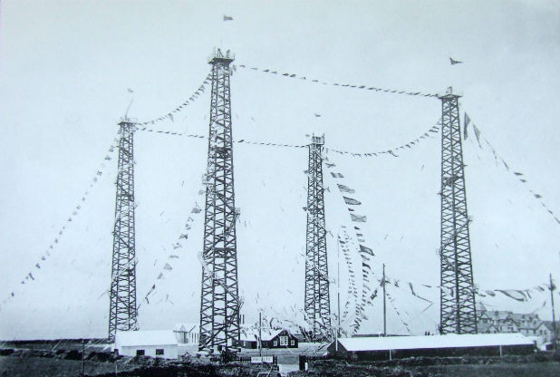
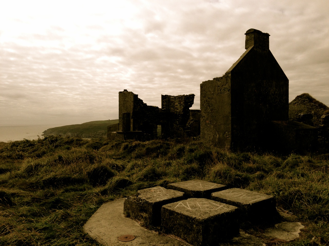
 Lonely and wild – Brow Head is the most southerly point on the mainland of Ireland. There are ghosts here: ghosts of ancient people who created the stone monuments, perhaps 5000 years ago, that are now inundated by every tide in the bay at Ballynaule below this Irish ‘Lands End’; ghosts of early farmers who began to lay out field boundaries criss-crossing this windswept promontory; ghosts of the defenders of an empire who feared a French invasion that never happened; ghosts of the prospectors who sunk two shafts – now barely protected by rusting wire – during the nineteenth century copper mining era; and, lastly, ghosts of the pioneers of our own digital age, represented in the brooding ruins that crown the hilltop here above West Cork’s remotest village, Crookhaven.*

Brow Head - haunt of ghosts
Brow Head – haunt of ghosts
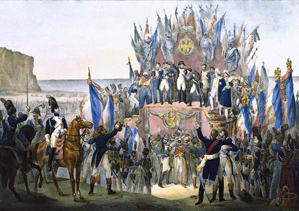
Charles Motte
Napoleon setting his sights on the British Empire 1804 (Charles Motte)
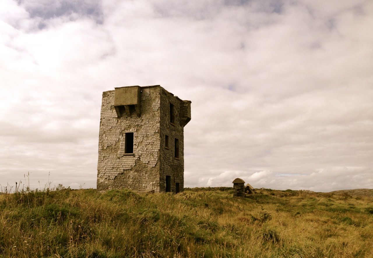
Facing up to Napoleon: Brow Head Signal Tower, built in 1804
Facing up to Napoleon: Brow Head Signal Tower, built in 1804 in anticipation of a French invasion

 We can be very specific about one ghost: Guglielmo Marconi – born at Bologna, Italy, on April 25, 1874 to Giuseppe Marconi, an Italian country gentleman, and Annie Jameson, daughter of Andrew Jameson of Daphne Castle, Enniscorthy, County Wexford, Ireland. The Jamesons were and are renowned distillers of Irish Whiskey. It’s reasonable to say that Marconi was an ‘Irish Italian’, and that heritage was reinforced when in 1905 he married Beatrice O’Brien, daughter of the 14th Baron Inchiquin. Marconi’s fame is that he pioneered the commercial application of electromagnetic waves – or Radio.


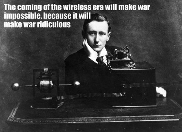
Marconi - wishful thinking!
Marconi – wishful thinking!

At the age of twenty one, Marconi was able to demonstrate to his father how, without any visible physical link (without wires), he could transmit dots and dashes through the rooms of their home in Pontecchio. “…When I started my first experiments with Hertzian waves…” he is quoted as saying, “…I could scarcely believe it is possible that their application to useful purposes could have escaped the notice of eminent scientists…” His parents used their influence to help him travel to England to meet the Engineer-in-Chief of the British Post Office with the result that in 1896 Marconi obtained the first ever patent in wireless telegraphy.

Signal Station at Poldhu, Cornwall, 1914

Marconi’s ambitions started in a room in Italy: by December 1901 he was able to send messages from Poldhu, Cornwall, to St John’s, Newfoundland, a distance of 2100 miles – an historic achievement. In his attempts to bridge the Atlantic with Radio waves he had explored the west coasts of Britain and Ireland for suitable telegraphic locations. One of his destinations was Crookhaven, which he visited many times – using the Flying Snail en route!

The Marconi Wireless Telegraph Station at Brow Head - exactly 100 years ago
The Marconi Wireless Telegraph Station at Brow Head – exactly 100 years ago

 Brow Head was one of a number of transmitting stations set up by Marconi and it got off to a flying start soon after opening in 1901 when, in the presence of Marconi himself, Morse signals were received from Poldhu, 225 miles away. The fact that the Atlantic gap was conquered only a few months after this shows the rapid pace of developments at that time.

Calling America...
Calling America…

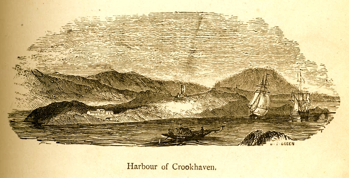
 The village of Crookhaven had long been the first and last port of call for ships going between Northern European ports and America. Over the centuries ships stocked up here with provisions before tackling the open sea. Because of this, the major shipping lines had agents here. Reuters and Lloyds had flag-signalling and semaphore equipment on Brow Head to communicate with the maritime traffic, superseded by the telegraph station. At the end of the 19th Century it was said that “…you could cross the harbour on the decks of boats…” Up to 700 people are reputed to have lived in the area at that time: now, Crookhaven has a permanent population of no more than 40. An article written by one of the telegraph operators in 1911 summarises:

…As Crookhaven is the first station with which the homeward bound American liners communicate it is naturally a busy station. By the aid of wireless all arrangements are made for the arrival of the ships, the landing and entraining of the passengers and mails, whilst hundreds of private messages to and from passengers are dealt with. Messages are also received from the Fastnet Lighthouse, which is fitted with wireless, reporting the passing of sailing ships and steamers. These messages are sent by vessels not fitted with wireless by means of signals to the Fastnet, thence by wireless to Crookhaven, whence they are forwarded to Lloyds and to the owners of the vessels…

Engraving by Mary Francis Cusack, 1875

 We have some first hand accounts of the workings of the signal station in its heyday from the handwritten log books of Arthur Nottage – for many years landlord of the Welcome Inn at Crookhaven – who died aged 90 in 1974. In 1904 he arrived in West Cork (from England) to work on a shift basis with one other man as Marconi telegrapher at Brow Head. Until 1914 he operated the Morse code apparatus with a salary – generous for the time – of £1 per week.

Arthur Nottage of Crookhaven

 A hundred years ago telegraphy had advanced to such a stage that it was no longer necessary for stations to operate close to the shipping lanes, and small, isolated sites such as Brow Head were closed down. Legend has it that in 1922 the Irregulars destroyed the buildings during the Civil War.

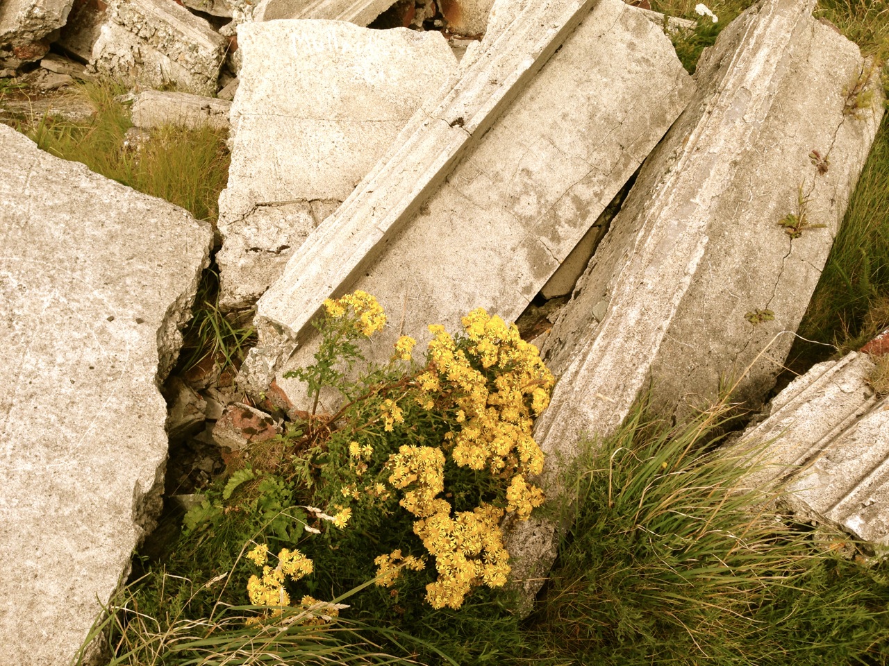
Becoming Archaeology: the ruins on Brow Head today
Becoming archaeology: the ruins on Brow Head today

 Finola and I have both been inspired by the landscape and atmosphere of this Atlantic frontier. It’s a place we will return to. All West Cork landscapes are impressive, but this is a place apart. If you want to feel at the end of the world, walk here: you won’t meet many others, even in the height of the visitor season. Perhaps that’s because it’s haunted – but in the best possible way. Like so much of Ireland the world has come here – a mark has been made – memories have been left behind. Now, you hear the ghosts in the ever-present currents of wind and surf.

Base of Marconi's mast at Brow Head
Base of Marconi’s mast at Brow Head

 *I am grateful to Michael Sexton and the Mizen Journal (Number 3 1995) for many fascinating items on the Crookhaven Telegraph Station not recorded elsewhere.

Mizen Magic 12: Autumn Colour (Reposted)

I’m reposting this, written six years ago, for the season that’s in it.

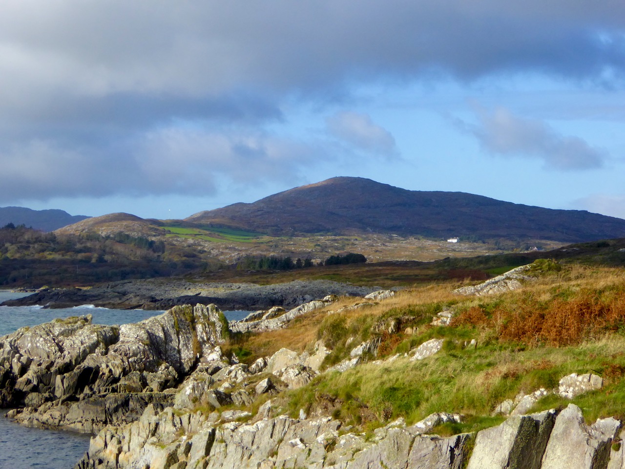
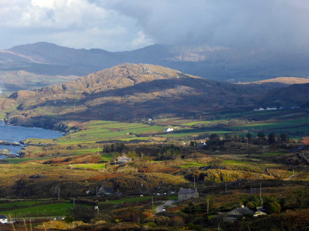
It’s not the trees that lend autumnal hues to the Mizen, as they do elsewhere. It’s the whole landscape – that combination of rock, heather, bracken, moor grass, brambles, filtered through the light and shade of our notoriously changeable climate – that creates the special colour palette we associate with autumn. It’s my favourite time of year.

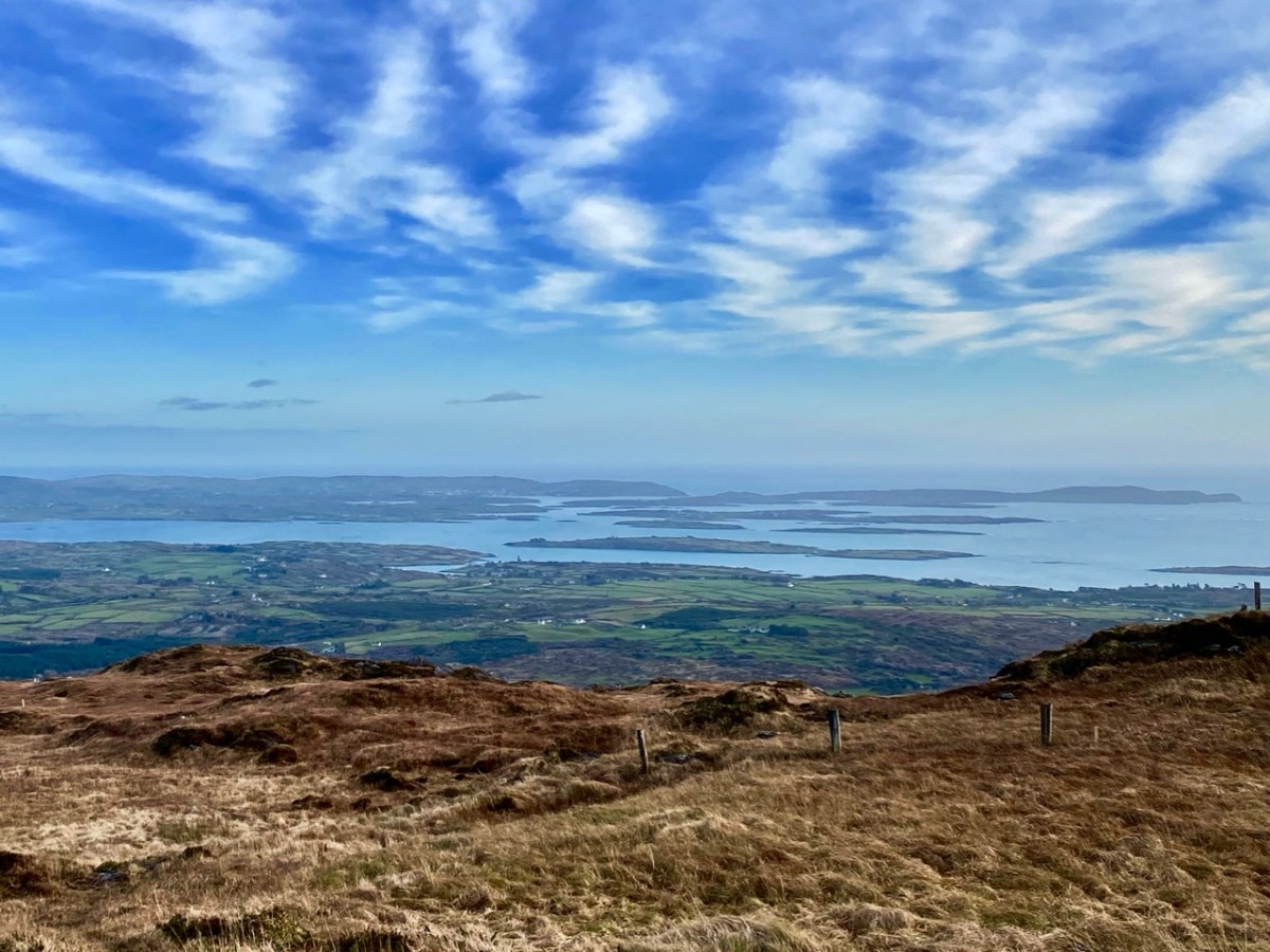
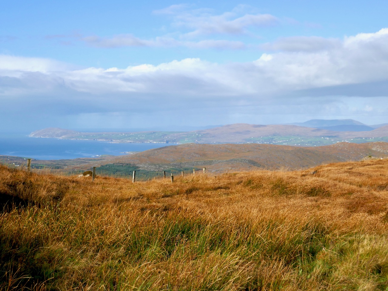
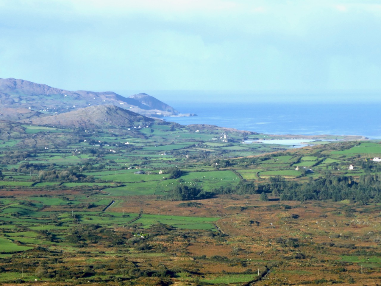
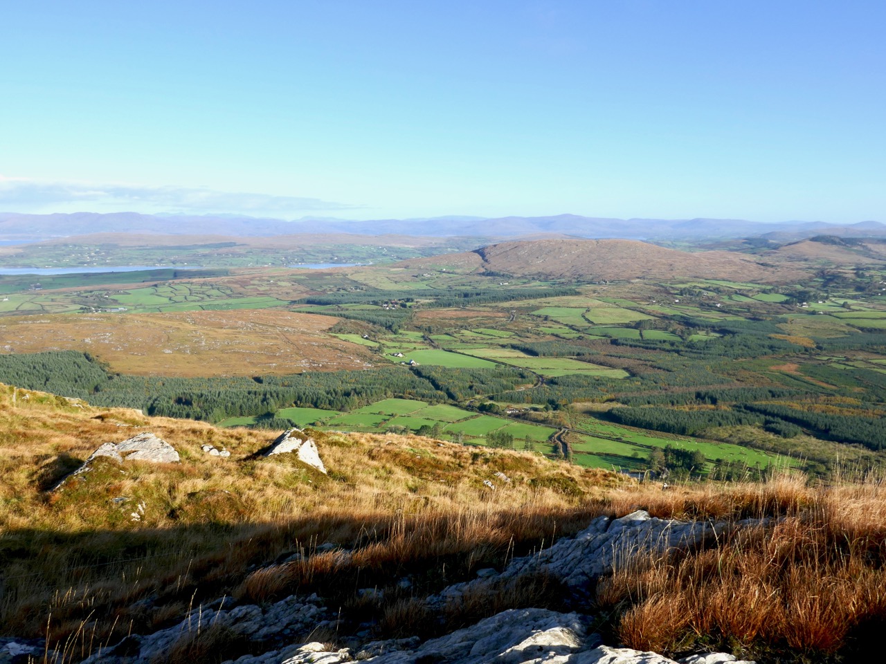
Today, early, we drove up Mount Gabriel and looked over the whole of the Mizen, back to Mount Corrin and Mount Kidd, and across to the Sheep’s Head, the Beara, and away to the mountains of Kerry.

Upper: looking down to Dunmanus Bay from Mount Gabriel; Lower: looking across to Mount Corrin

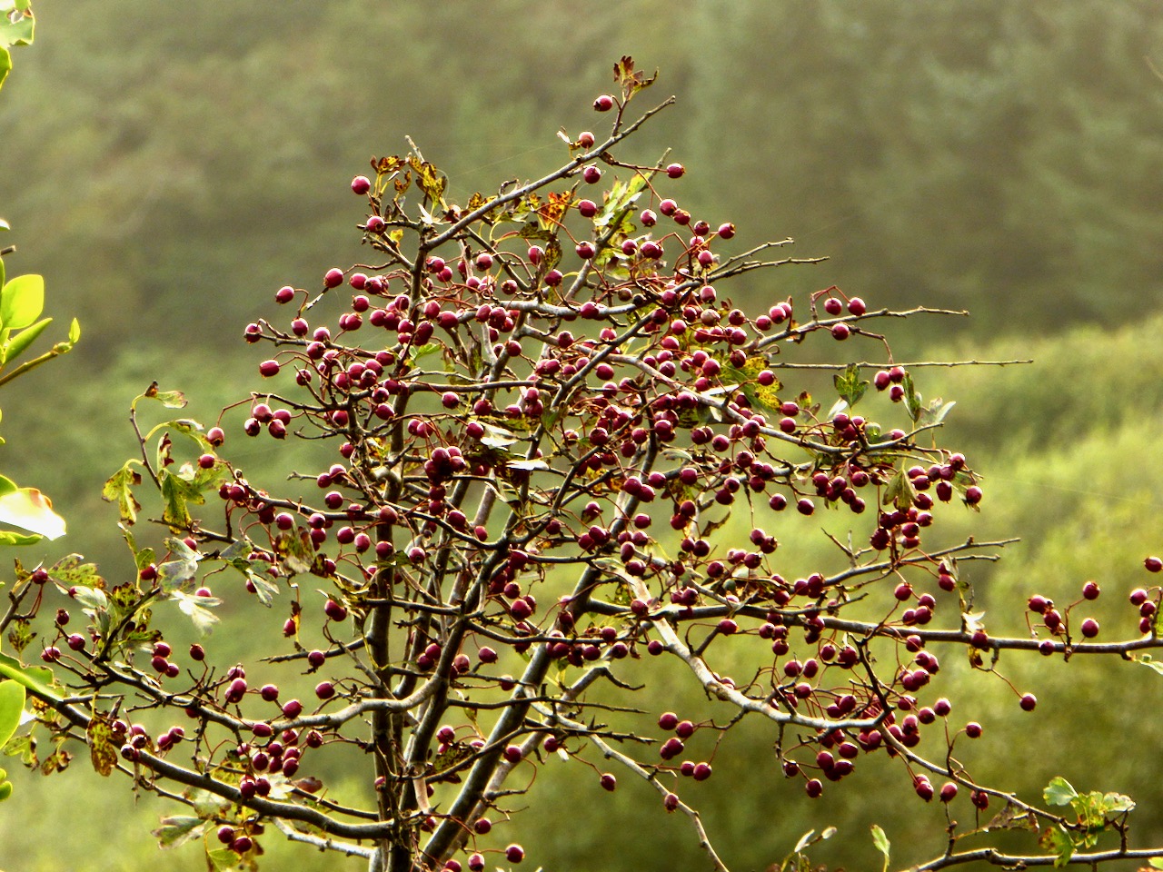
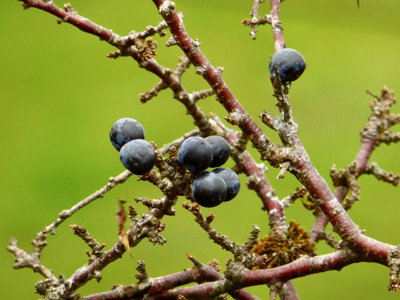
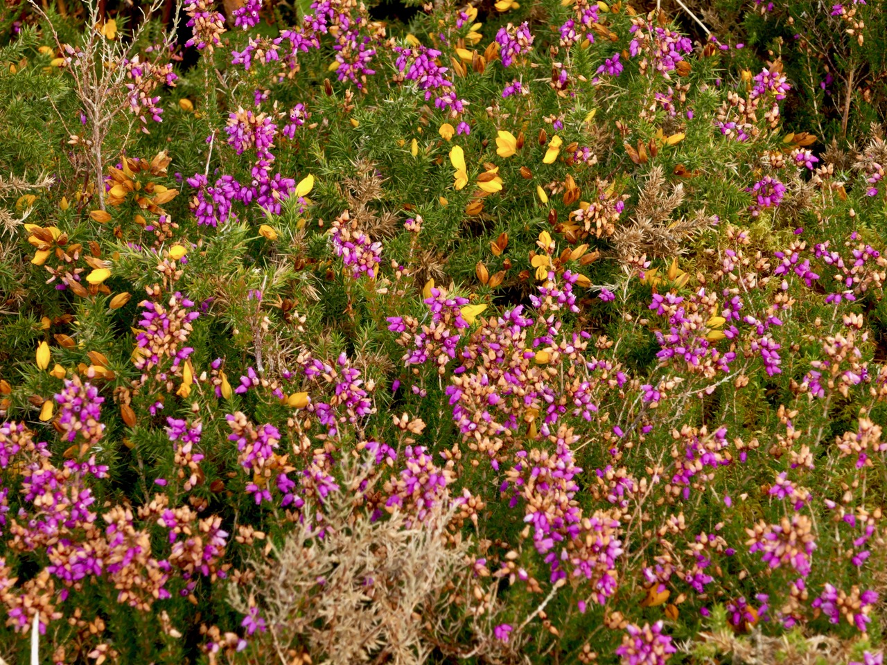
But every day brings changes. What trees we have are not yet bare. The thorns, blackthorn and whitethorn are loaded with berries. The heather is hanging on here and there, providing a wonderful contrast to the yellow gorse.

Haws, Sloes, Heather and Gorse

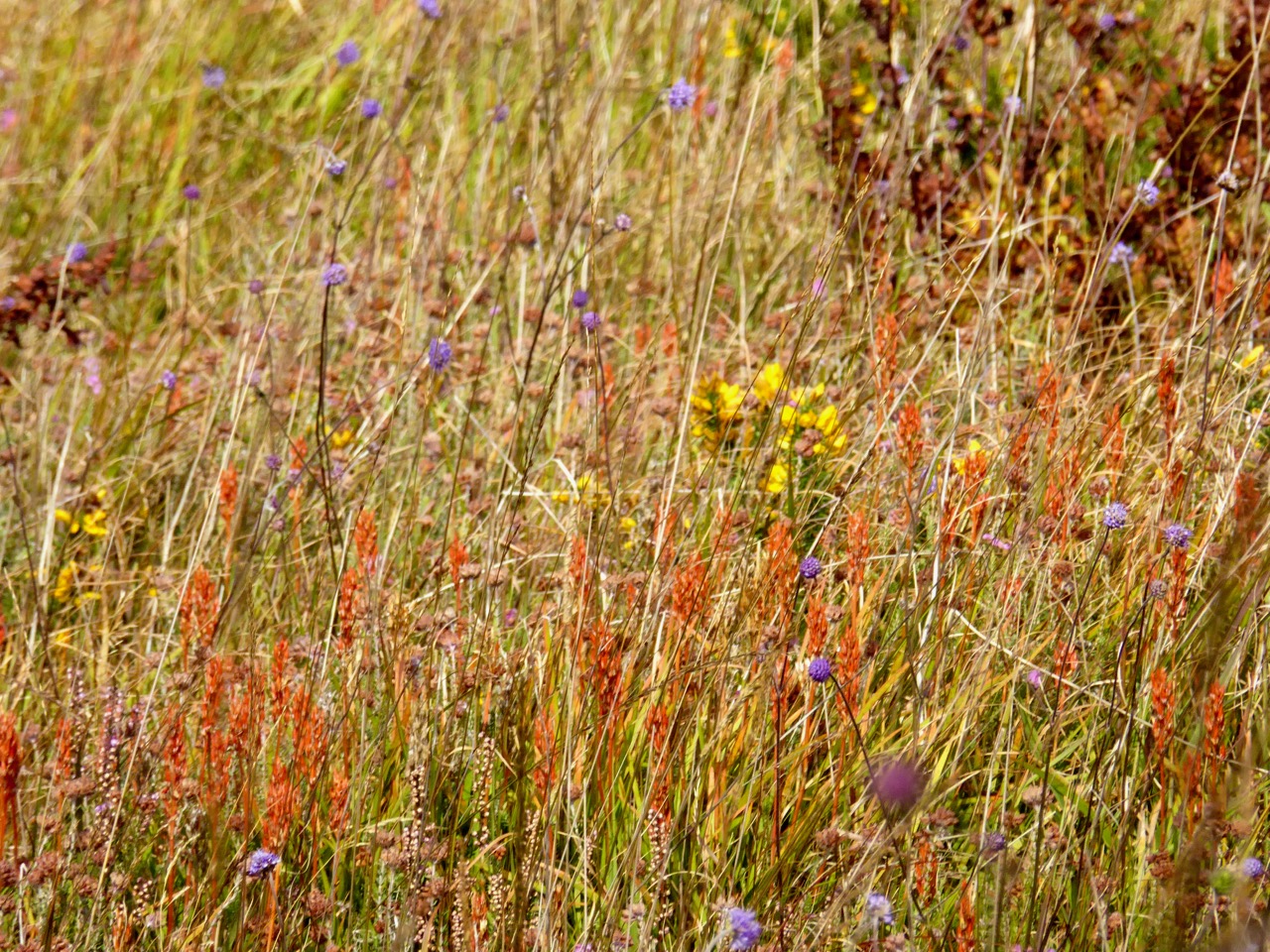
The bog asphodel is fading now, but earlier in the month it had reached its peak orange state and looked spectacular consorting with the other bog and mountain flowers that were still blooming.

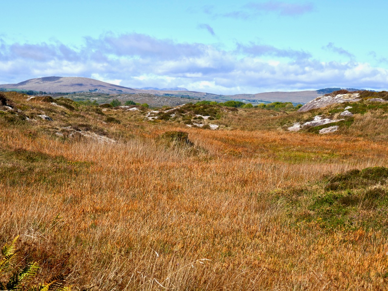
Upper: Bog Asphodel, Gorse, Scabious; Lower: Cappaghglass Bog

When you get a clear day, like today, there is nothing on earth like a walk on the West Cork hills, drinking in the colours and trying to store them in the memory. Or perhaps, in a blog!

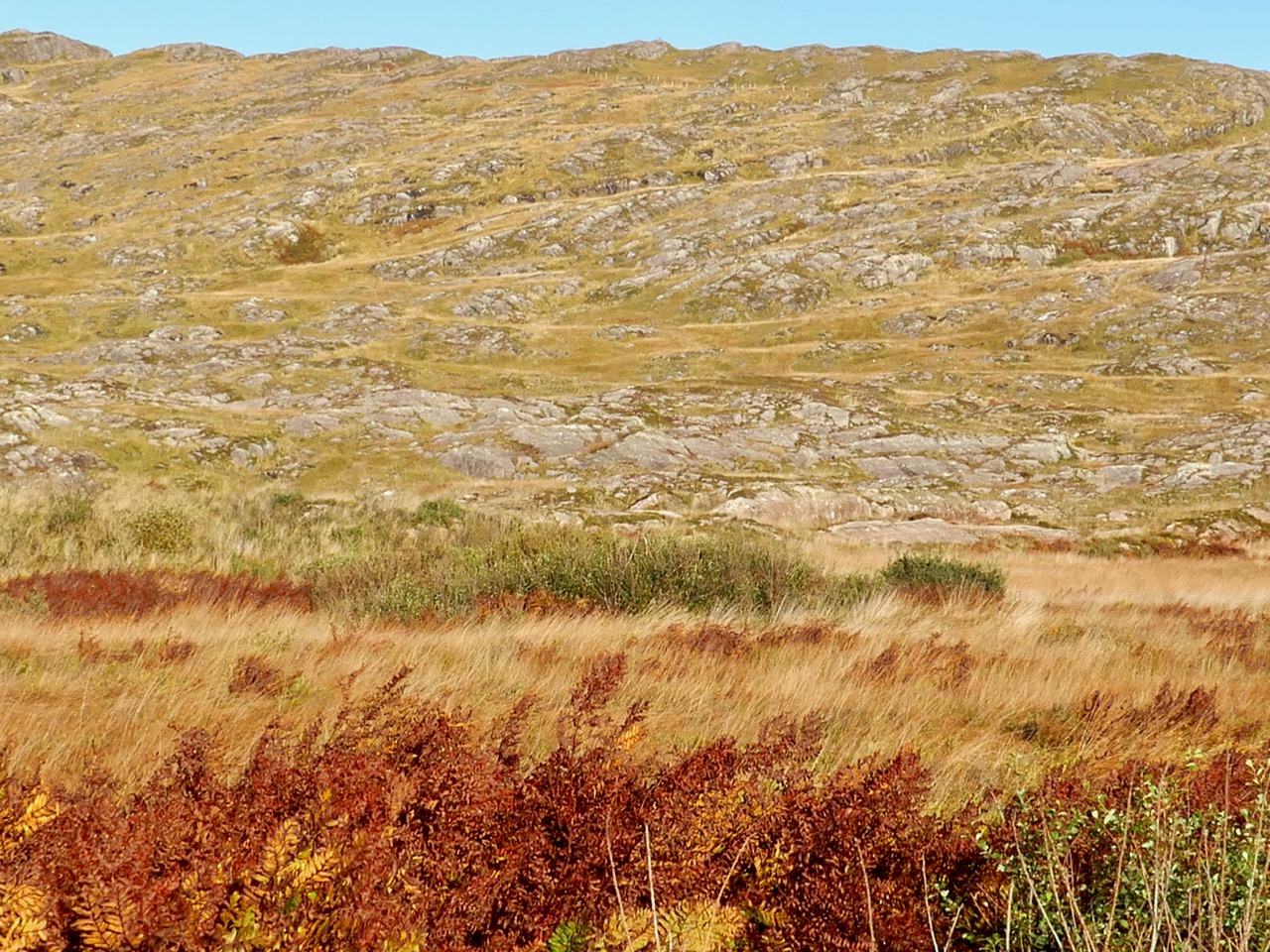
Upper: Toormore; Lower: Derryconnell 

Upper: North Side of the Mizen; Lower: Crough Bay and Long Island

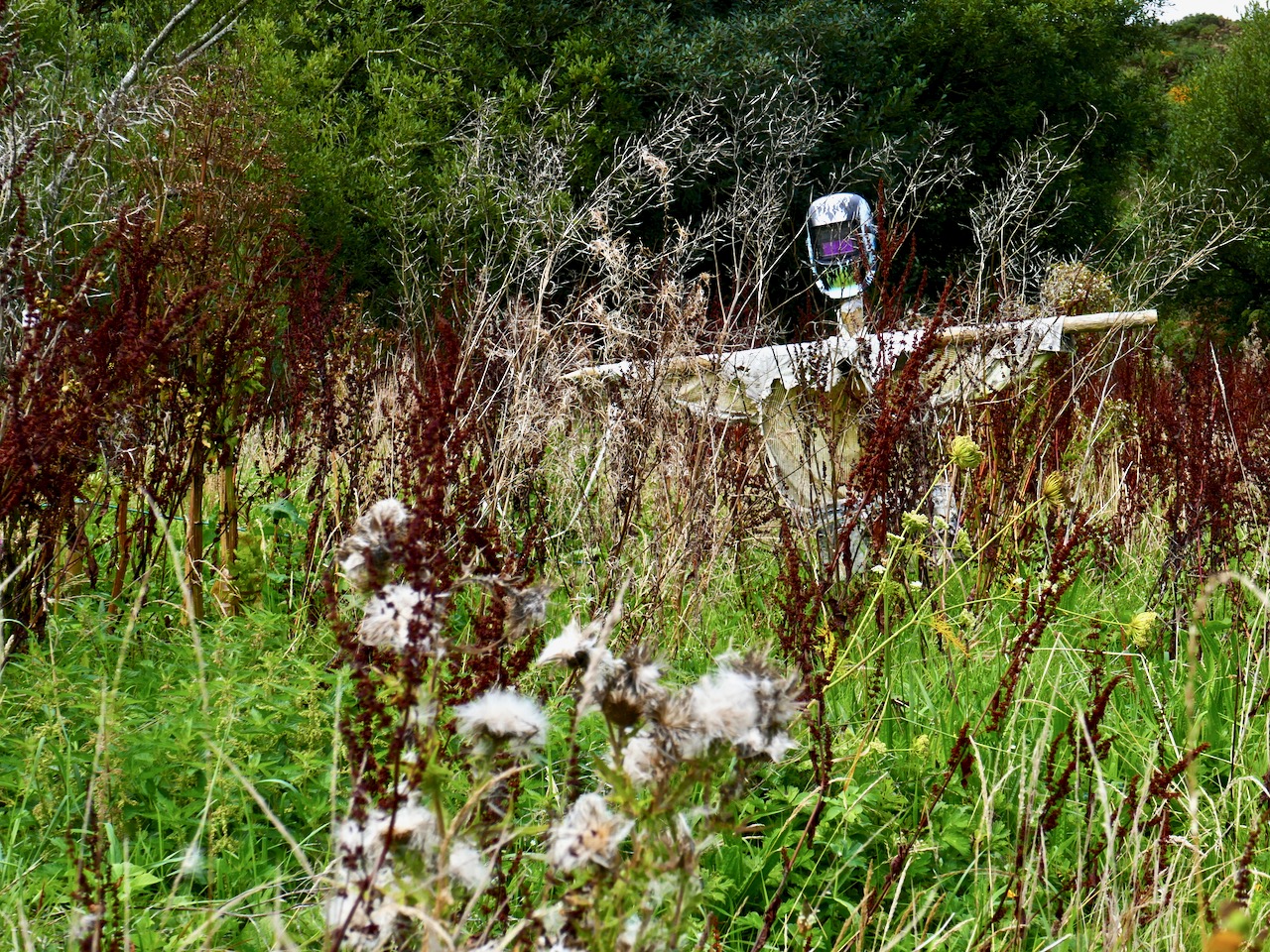
Scarecrow in an abandoned garden – quintessential autumn image!

Rock Island

Looking Back on 2023: Robert

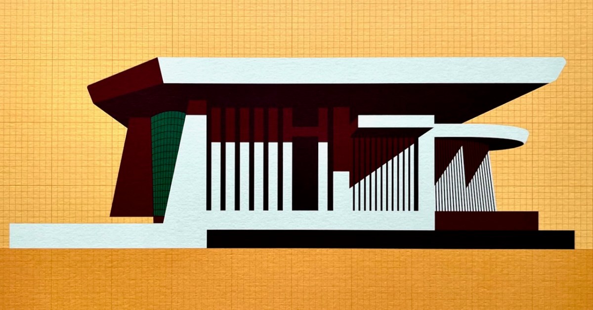
This is my favourite image of the year! I published a post about the architecture of Bantry Library, and it proved to be our most popular . . . This limited edition print, a collaboration between Dermot Harrington of Cook Architects and Robin Foley of Hurrah Hurrah is celebrating the upcoming 50th Anniversary of the completion of Bantry’s Library in 1974, and some refurbishment work is being undertaken for the occasion. For me, the print captures perfectly the iconic graphic of this most unorthodox design.

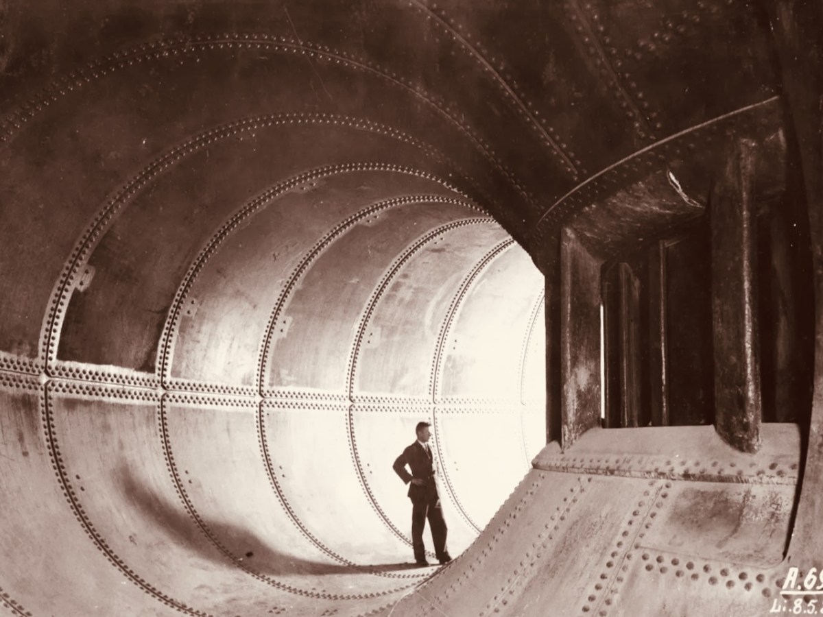
We both wrote 52 posts this year, each of around 1,000 words, and all fully illustrated. Above is a pic of one of the penstocks which brings the water into the turbine casings at Ardnacrusha Power Station (courtesy of ESB Archives). This incredible engineering feat – well ahead of its time – was constructed between 1925 and 1929, and was integral to the supply of electricity throughout Ireland’s young state by harnessing water power from The Shannon. West Cork benefitted from Rural Electrification, and I thoroughly enjoyed researching and writing a series of posts on the whole subject.

. . . Once a community was connected, or about to be connected, the ESB held public demonstrations of household appliances. These were then sold bringing electric irons, kettles, stoves to homes. The demonstration evening in Glenamaddy was held in January 1951. The handwritten report records that it took place “in the very fine Esker Ballroom”; these events were social occasions that brought communities together. The Glenamaddy evening “was attended by about 90, including 50 women. As is usual, the women appeared to be more keen than the men and more inclined to ask questions (and to argue). After the demonstration, a melodeon player turned up and an impromptu dance got under way” . . . Small towns and rural townlands became brighter and winters less harsh and Christmas more special as the fairy lights began to shine. It also gave rise to a rural Irish icon as every house had the Sacred Heart picture with the (electric) red lamp (below): many didn’t get a kettle and washing machine until later on . . .

ESB Archives

The whole series on Rural Electrification was written during the summer and can be read through this link: https://roaringwaterjournal.com/tag/electrification-of-ireland/

Since 2018 our own Museum in Ballydehob has been showing exhibitions of the work of locally based artists. This year it was the turn of the Verlings – John and Noelle. John died, sadly, in 2009; Noelle is still alive and kicking and assisted Brian Lalor and myself in assembling an excellent collection of the work of these two creative residents of our village, assisted technically and ably by Stephen Canty. BAM is a really valuable resource in setting out the unique history of the artistic community here in West Cork from the 1950s onwards.

A wonderful photograph (courtesy Geoff Greenham with many thanks) of St Bridget’s Catholic Church in Ballydehob. The interior was reordered by John Verling.

. . . The gold fish hand drawn in the background of the altar and the depiction of one fish swimming against the shoal continues to evoke admiration from locals and visitors alike. He also designed the two ‘windswept thorn’ stained glass windows and etched the brass surround of the tabernacle. The Altar slab, composed of a vast monolith like the capstone of a dolmen, is a distinguished piece of sculpture and a tribute to his imaginative capacity . . .

JOHN VERLING WEBSITE: HTTPS://WWW.JOHNVERLING.COM

There was great drama off the coast of Ballydehob on the night of 22 September 1973, and its 50th anniversary was duly celebrated in Roaringwater Journal!

. . . AS an inspector from the aeronautical section of the Department of Transport and Power arrived in Ballydehob to begin an investigation into Saturday night’s plane crash off the Cork coast, it was learned last night that the pilot of the Piper Cherokee almost lost his life in his efforts to save the other three men on board. Michael Murphy (23), of Mercier Park, Curragh Road, Cork, who was sitting next to the pilot, Eric Hutchins of Ballinlough, Cork, said that Mr Hutchins was concentrating so much on getting the plane down that he was knocked unconscious at impact. Mr Murphy, together with Noel O’Halloran, of St Luke’s, Cork, and James McGarry, of Monkstown, Co Cork, had been braced for the crash and scrambled free on to the wing. But then they found that they could not get out Mr Hutchins who was unconscious. Mr O’Halloran then went back into the rapidly sinking plane and between them they pulled Mr Hutchins free and threw him into the water. The three men then swam ashore taking 40 minutes to reach land at Fylemuck, as they had to support the injured man all the way . . .

IRISH PRESS, MONDAY 24 SEPTEMBER 1973

All four crew and passengers on the plane survived the ditching, but the aircraft itself (a photo taken in its good days, above) was a write-off. Those living locally who remembered the event gathered to mark it in Schull, on the anniversary.

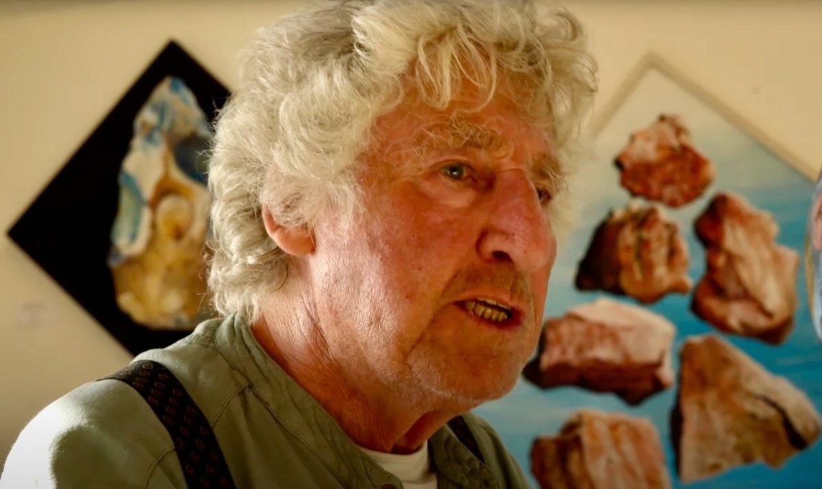
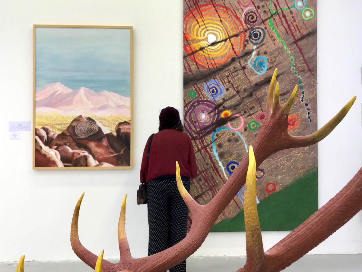
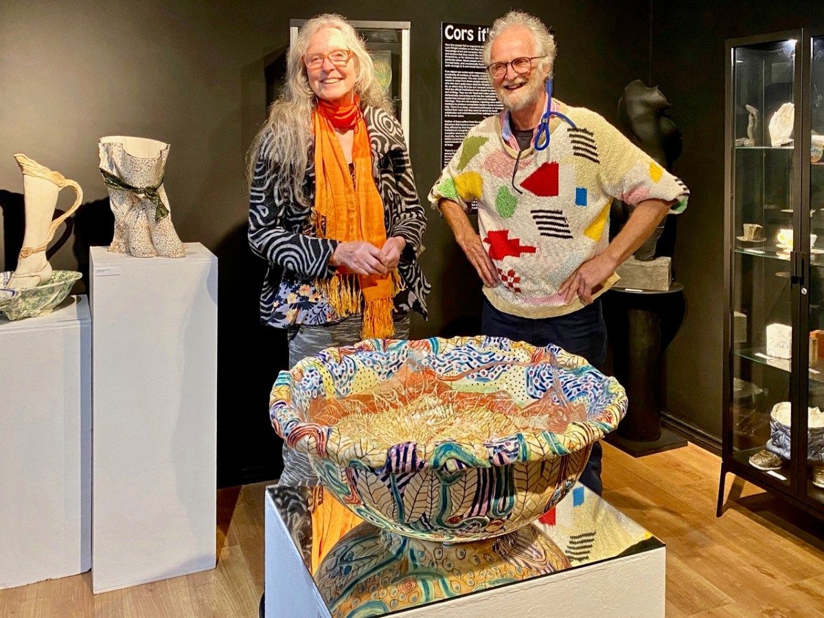
That’s Keith Payne, above. He’s one of the many artists who has lived in West Cork for a significant part of his life – at Leamcon, and he was deservedly given an exhibition in The Blue House Gallery, Schull, in September this year. He has always been fascinated by ‘early markings’, including Rock Art: he contributed dramatically to our own Rock Art exhibition at The Public Museum, Cork, in 2015.

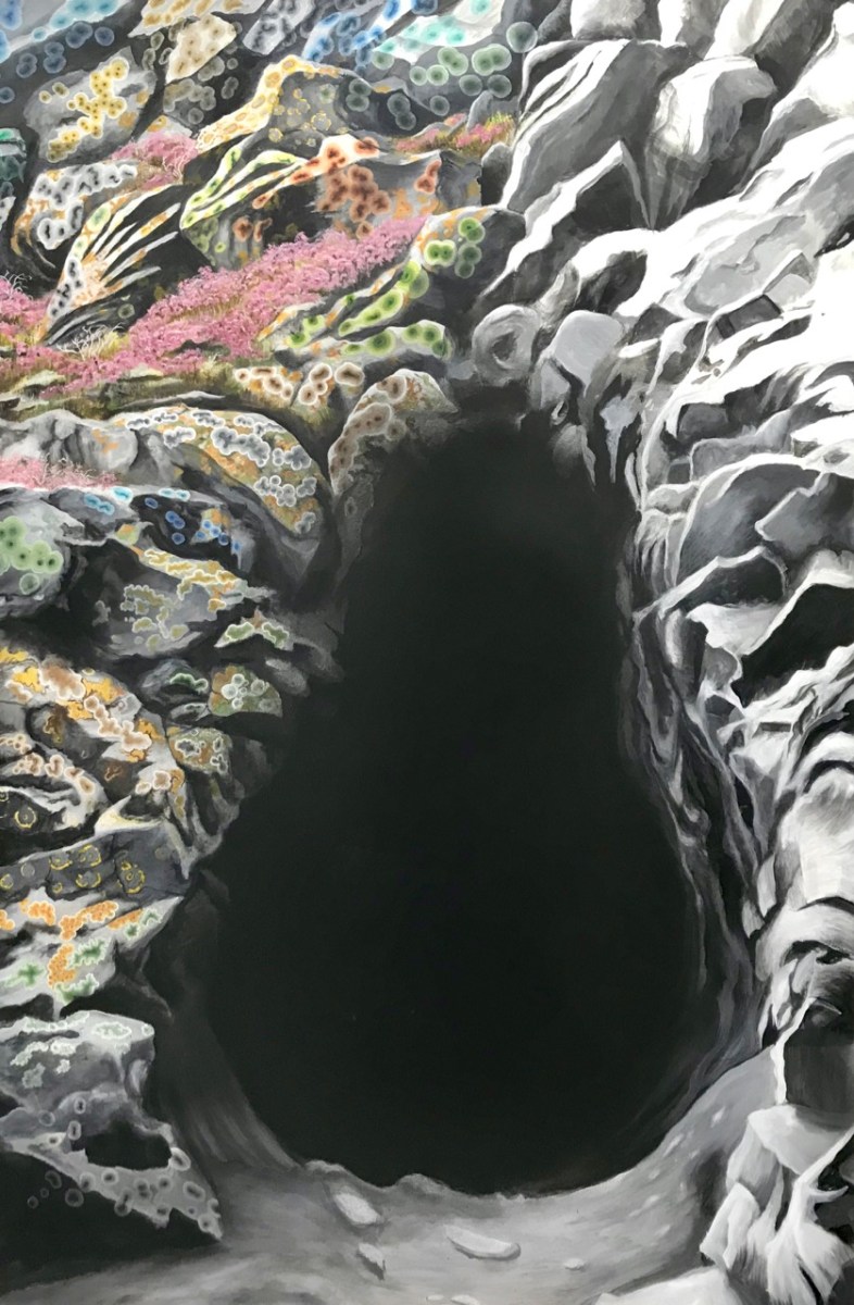
That’s a spectacular large canvas by Keith inspired by Rock Art at Derreenaclogh, West Cork (on the right, above). It’s from an earlier exhibition by Keith in County Clare in 2018, at the Burren College of Art Gallery in Ballyvaughan, Co Clare. The work below is titled Cave Entrance.

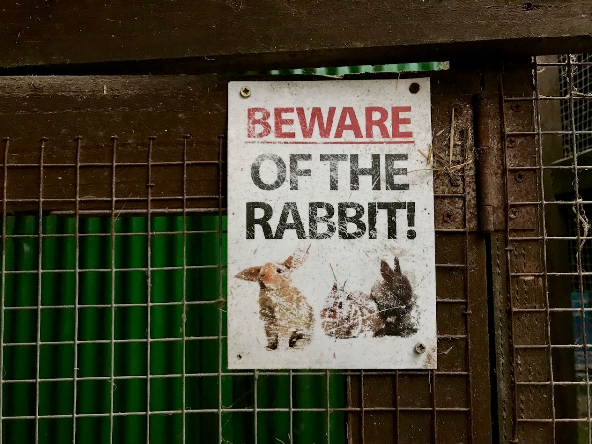
Throughout the year I continued to publish posts on some of my favourite subjects: Irish signs, advertising and curiosities. I’m always avidly collecting these, and will have some to show in 2024, for sure. In the meantime, let’s hope our general news becomes more positive as we move forward in this disorienting world of ours . . . Have a good new year, everyone!

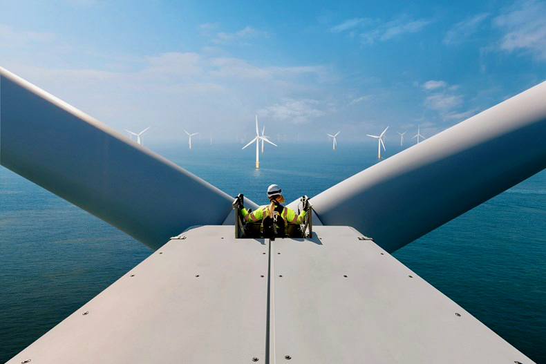
And here’s a little PS . . . Way back in January, before I had the idea to write about Rural Electrification in Ireland historically, I penned a post about how I saw Ireland very much at the forefront of harnessing wind power – all at sea. Here it is!

‘The Mountain’

We spent a day on ‘The Mountain’. It’s a West Cork location, not too far away from us. The land has a history that touches on many of our interests covered here in Roaringwater Journal – and some of the West Cork people we have written about over the years – so it’s pretty special. We were delighted to be welcomed to it by its present owner, Oliver Farrell: that’s himself, in the pic below. You have met him before, here. Thank you, Oliver, for allowing us to experience this special site, and for letting us put out this post about it.

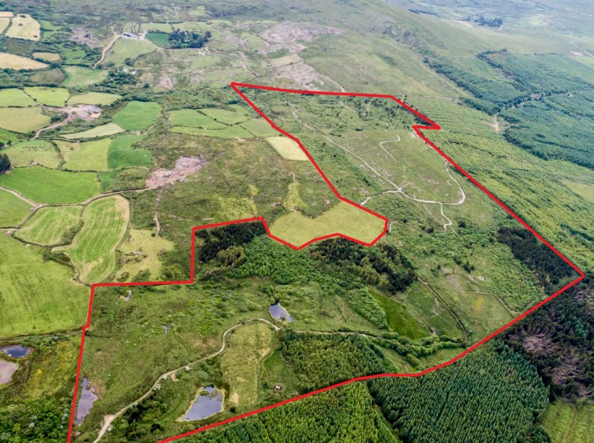
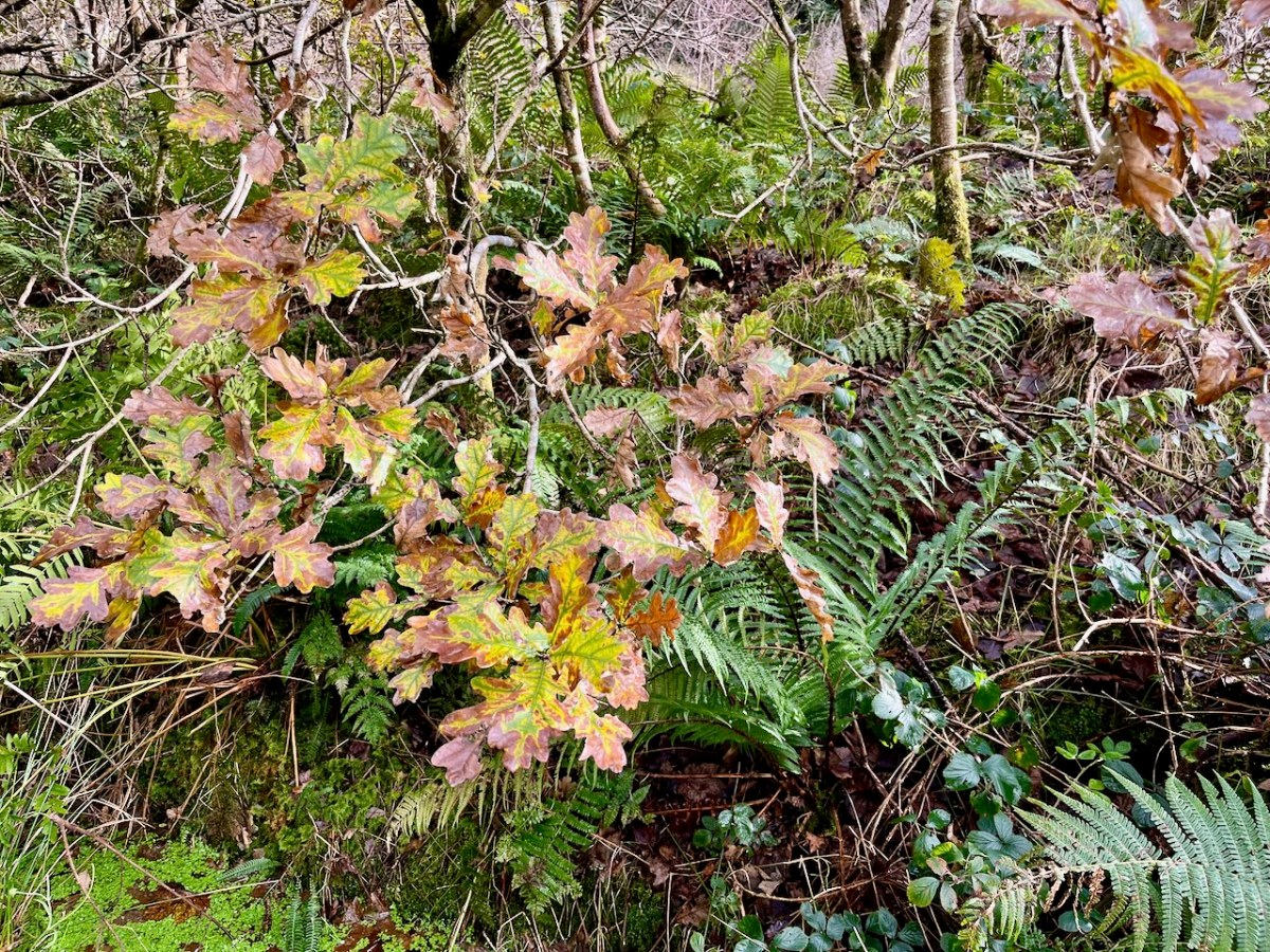
Previously, the 70 acre ‘Mountain’ site was owned by the Wrights – Lynne and Ian (above): you saw them in the 2022 Ballydehob Arts Museum exhibition, here. When they purchased it – in 1997 – it was rough pasture and bog. They aimed to develop an environmentally and economically sustainable forest using existing grants, and successfully challenged the decision of the Forest Service (through the EU) to only grant aid the planting of alien conifers. They set about transforming it: they had a vision of a ‘pure’ West Cork landscape supporting an ecosystem of native species. Now – many years later – it’s possible to see that the Wrights’ vision was fully justified – and realised. Today Oliver is undertaking essential maintenance work, and is committed to expanding on the inherent sustainable qualities that the site embodies. In fact, ‘The Mountain’ is largely in excellent environmental order.
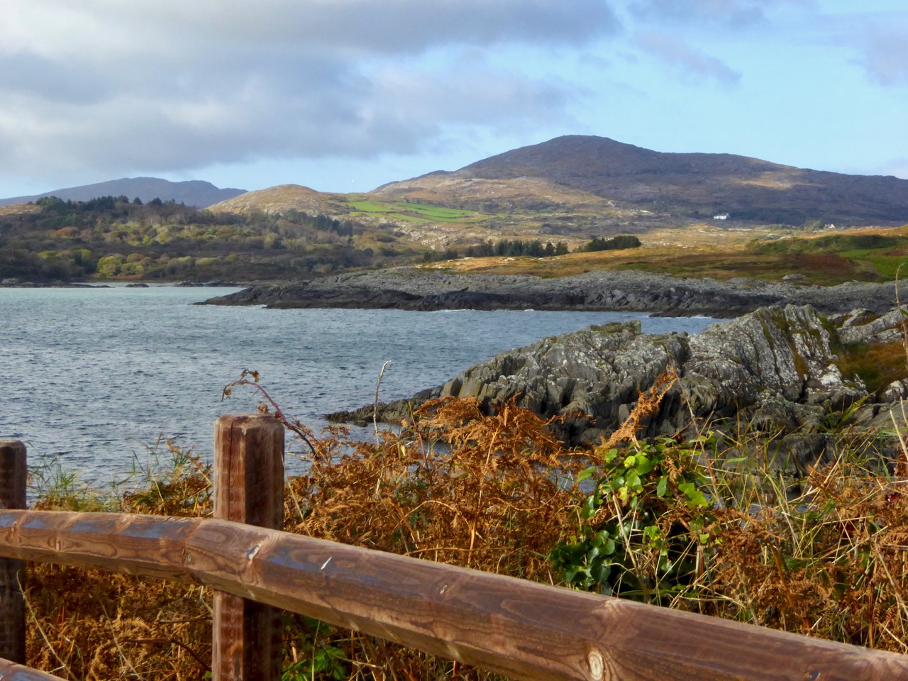
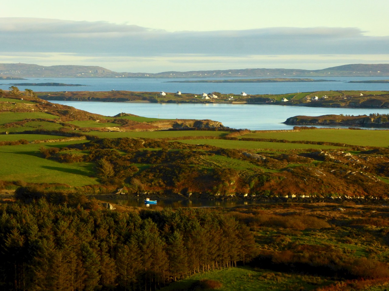
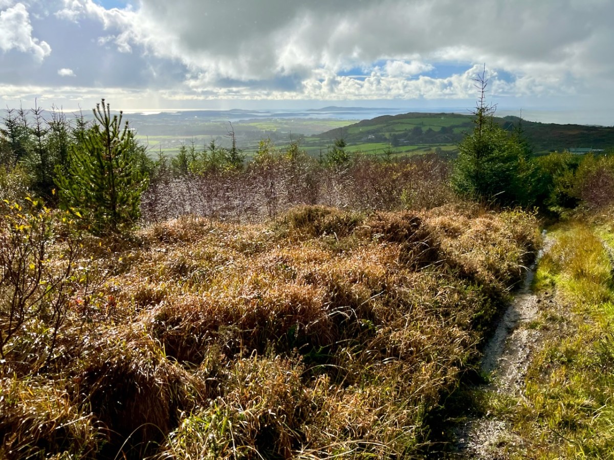
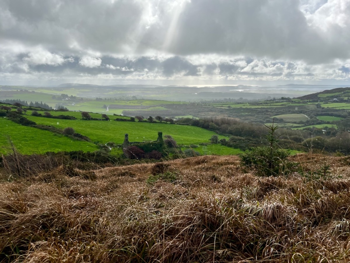
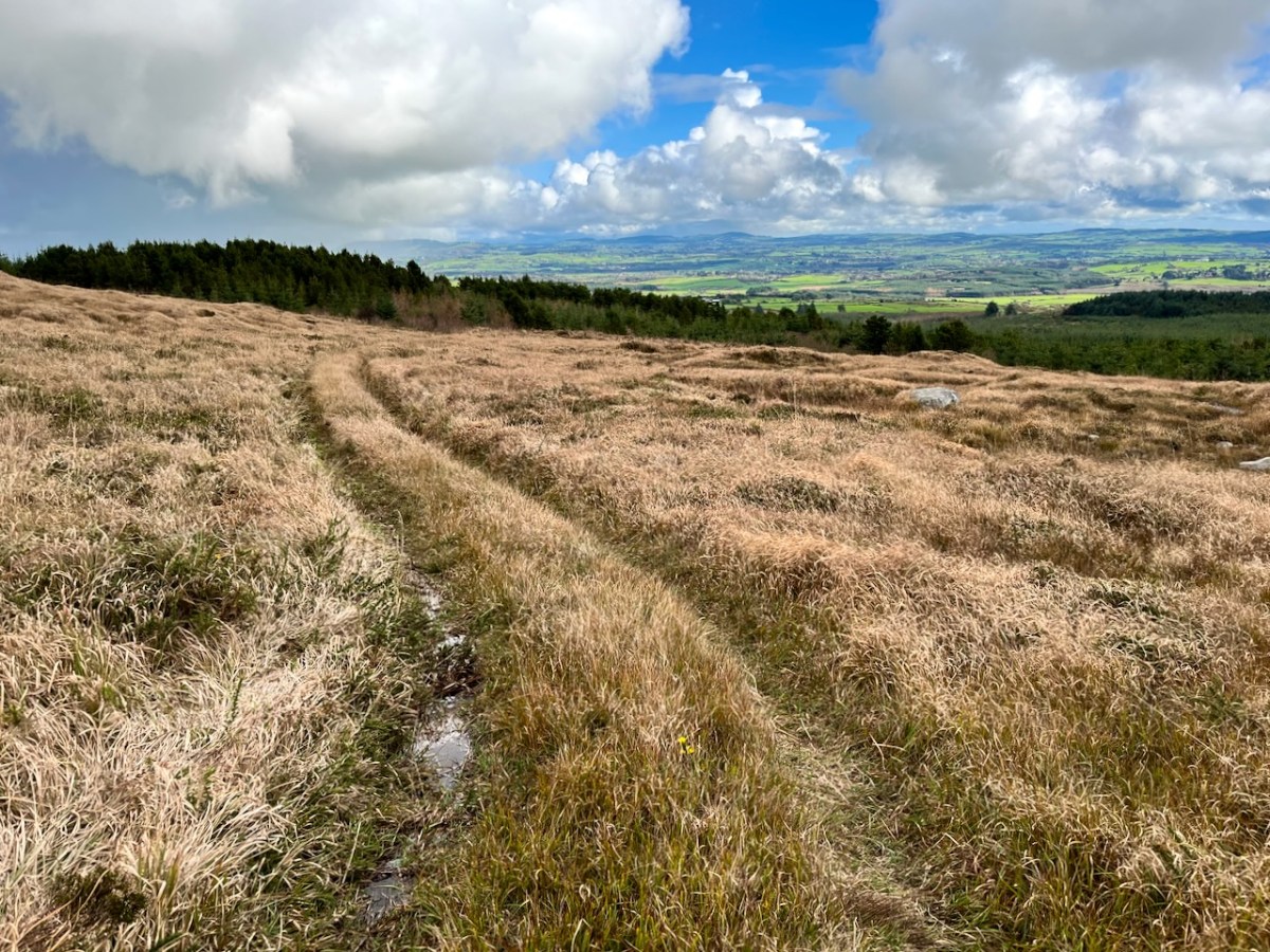
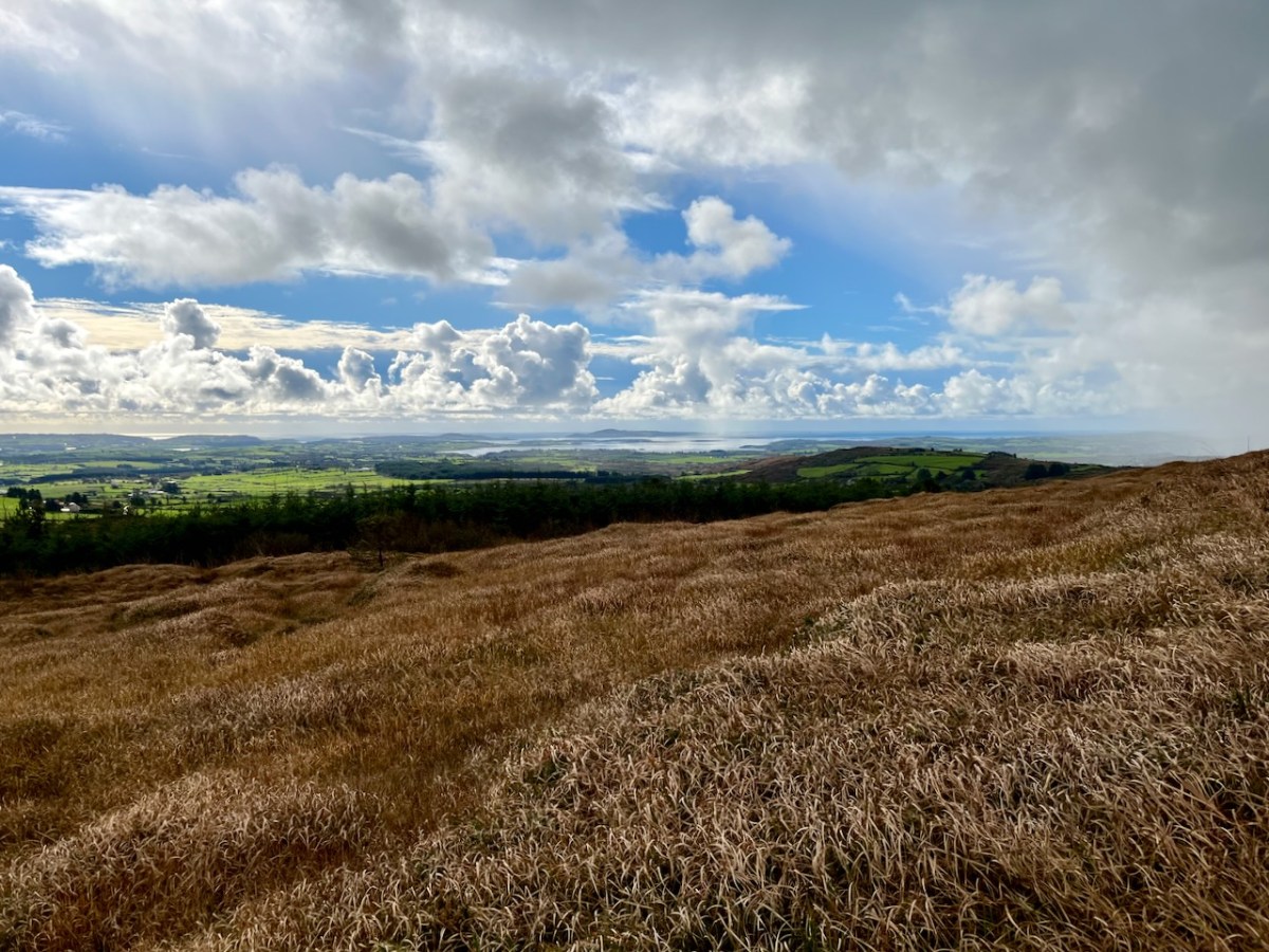
Interestingly, Ian told us that when they made the decision to buy the site they had only seen it under cloud: the spectacular view wasn’t revealed until later on. We were fortunate on the day of our visit to see the full panorama of Roaringwater Bay stretched out before us.

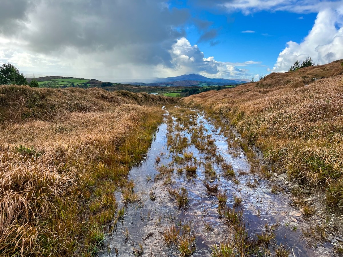
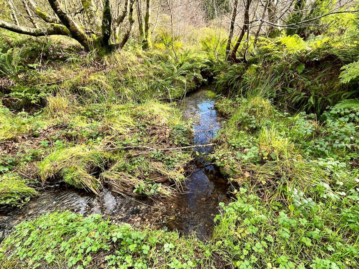
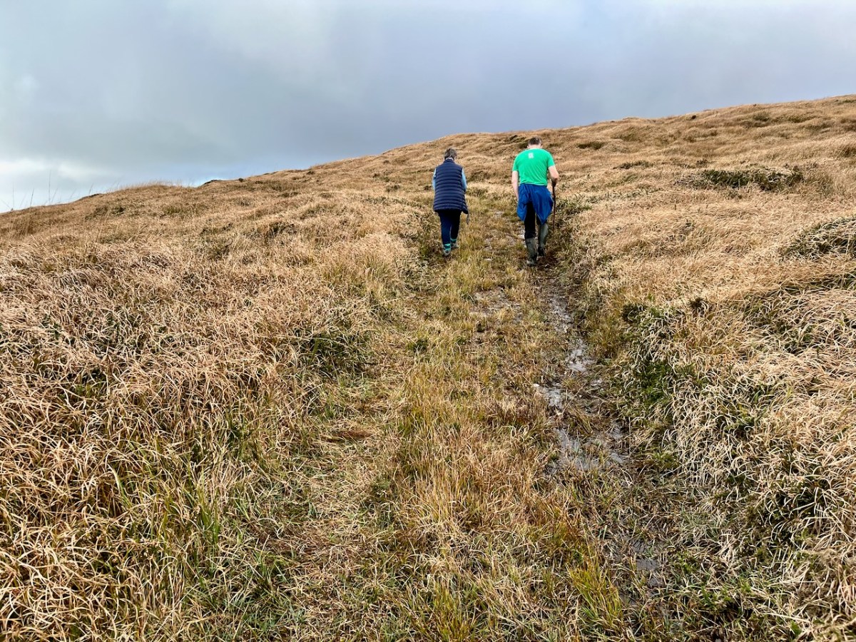
This dramatic view towards Mount Gabriel is a reward for climbing ‘The Mountain’. The ground was waterlogged on the day of our visit as this autumn has been a time of relentless rainfall, but always interspersed with brief dry patches: it’s great to be out to catch these. Springs rise on the high ground here, and I’m working out that they either feed the Roaringwater River – the water that gives its name to the whole Bay and islands that are central to our view from up here in Nead an Iolair, or another of the many streams that drain the West Cork hills below us.

Oliver stands above one of the spring outlets that form the infant waterway (top), while the stream matures as it flows on down through his land (lower). Below – Oliver and Finola inspect one of the lakes which has been created within the site.

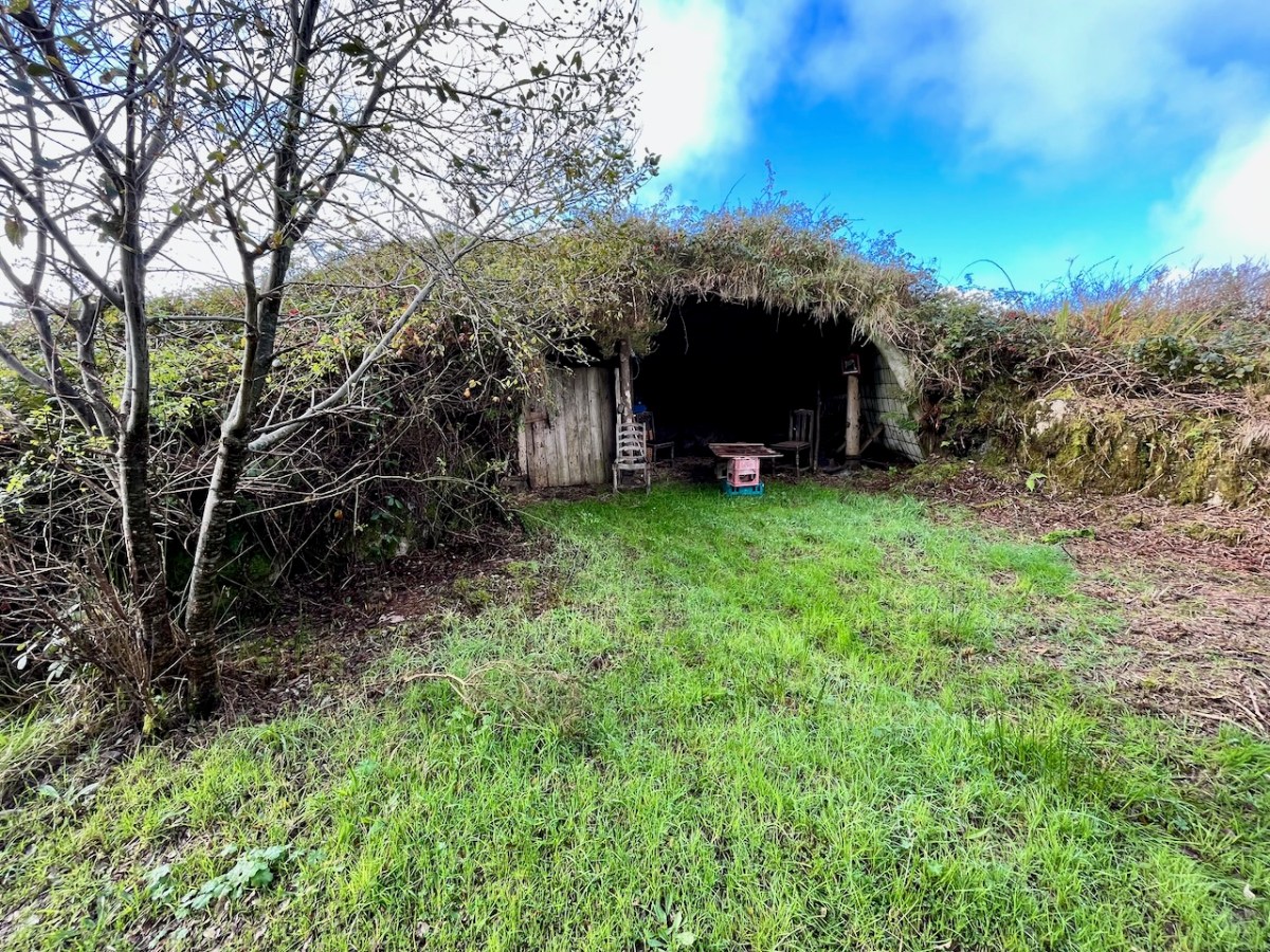
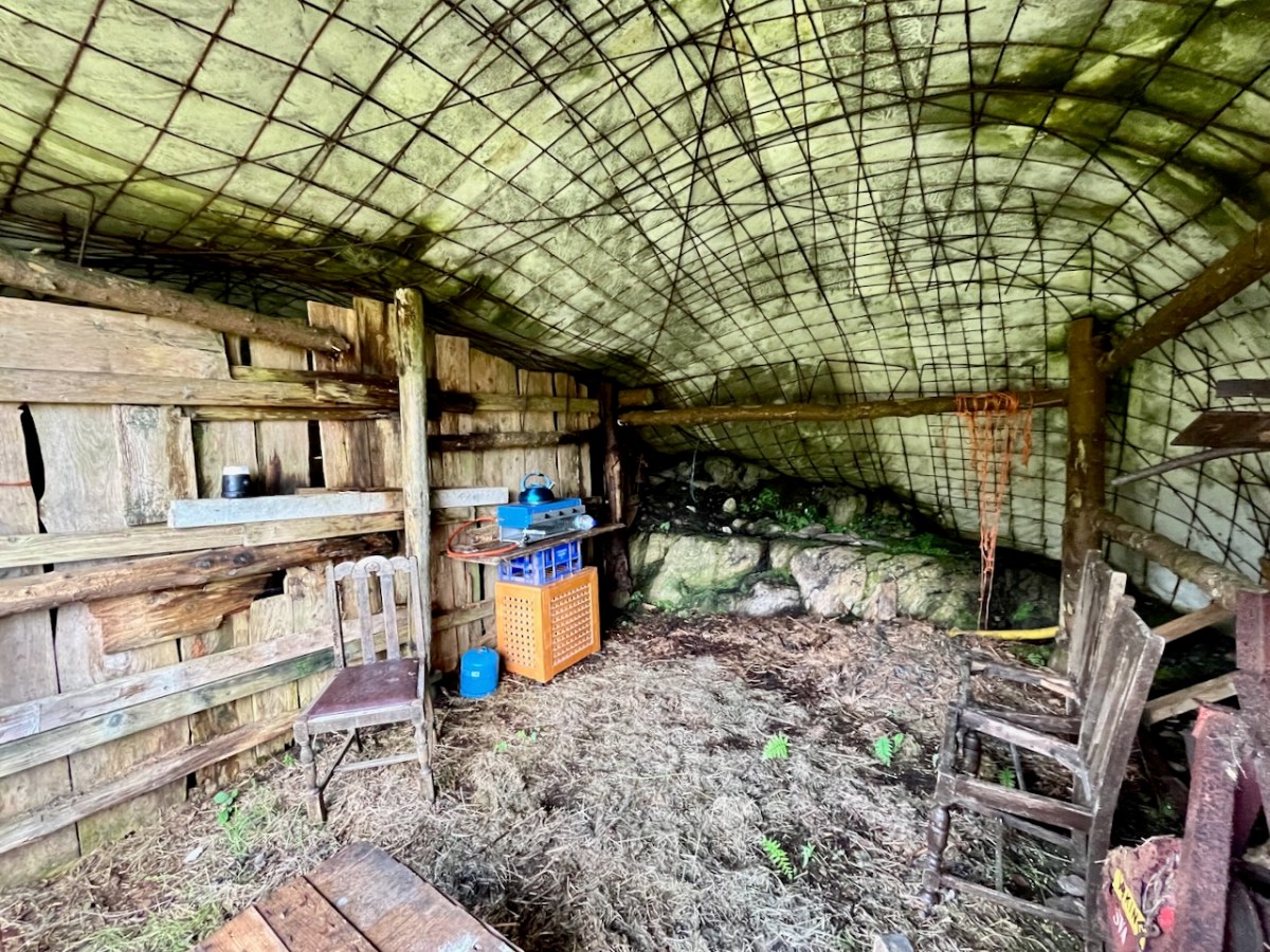
At one stage in his life Ian researched, developed and introduced the building of low–tech ferro–cement boats as a cottage industry on Lake Malawi to help address the problem of unsustainable fishing practices there. At the ‘Mountain’ site he experimented with ferro-cement as a material for establishing a well blended-in shelter and store.

Straddling two townlands, ‘The Mountain’ is an impressive example of how an area of West Cork wilderness has been perfectly moulded into its natural setting. It is an out of the ordinary place which demands exploration.

I’ll be visiting the site, and writing about it more in the future. Oliver will be keen to allow access: keep watching this space.