Sheep’s Head Stone Circle Revived!

Gorteanish Stone Circle, near Ahakista on the Sheep’s Head Peninsula, is singular because it lacks ancient history. It doesn’t appear on the early Ordnance Survey maps and – to the best of my knowledge – no local stories or folklore have been recorded about it. It is a Bronze Age archaeological site, but it has apparently been overlooked until comparatively recent times.

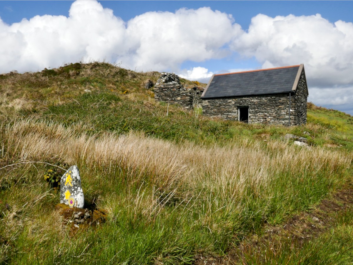
It’s a short walk to the west out of Ahakista to the site of the stone circle. The way is marked by the stone above. Atha Tomais means ‘Tomais’s Place, and refers to Tom Whitty from Philadelphia, who settled on the Sheep’s Head in the 1980’s with his wife Suzanne and family. He is credited with having come up with the idea of establishing The Sheep’s Head Way – a series of footpaths covering the peninsula, and the project was put in hand by Tom and a local farmer, James O’Mahony, completed in (remarkably) just 18 months and formally opened by President of Ireland Mary Robinson in July 1996. During clearance work for the Ahakista footpath the remains of the stone circle at Gorteanish were discovered. It has since been suggested that there were stories of ‘old stones’ being hidden in the undergrowth. A footpath giving access to the stones from the nearby lane was duly completed and opened, and the inscribed stone marks this occasion.

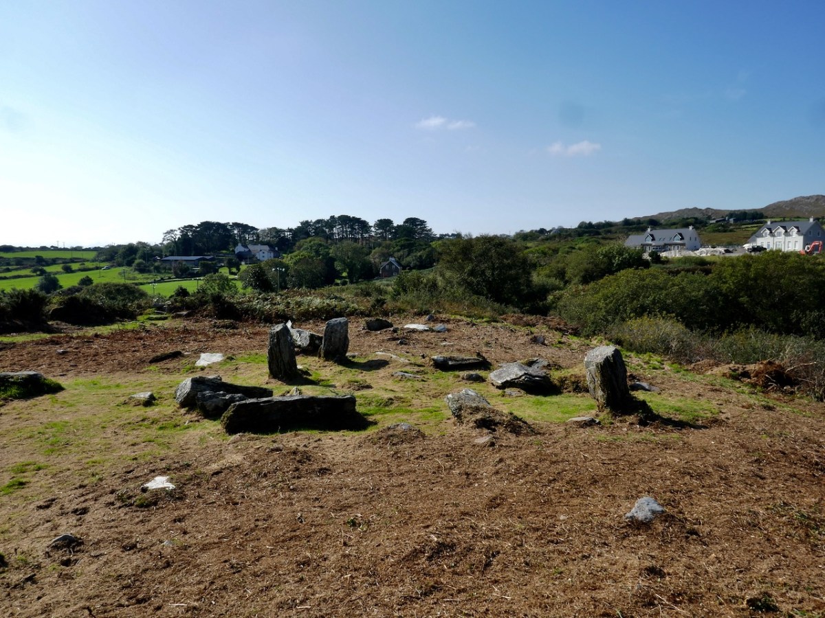
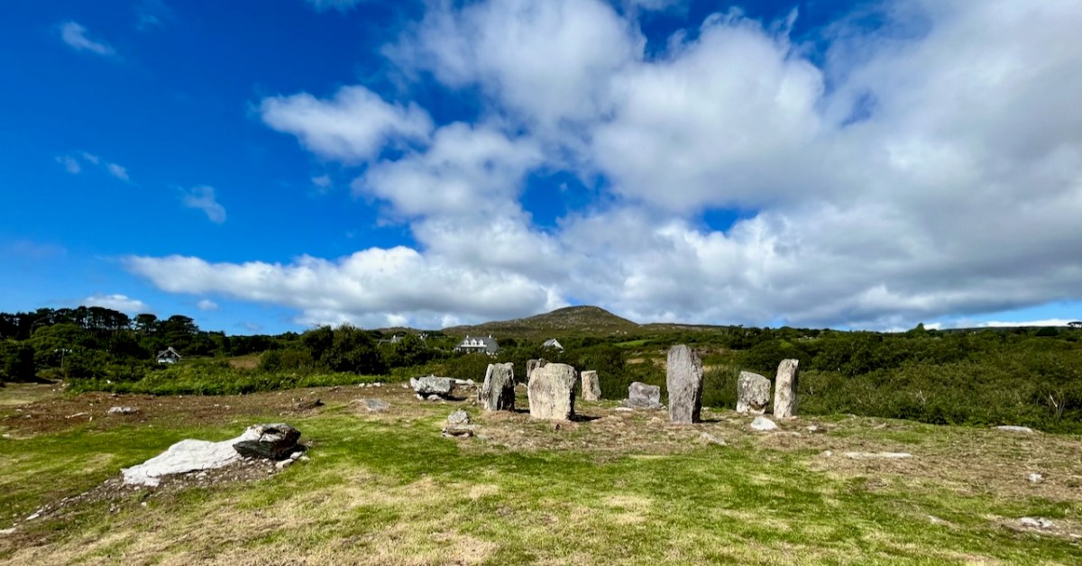
This photograph shows the circle more or less as it was found in the 1990s. Four stones are standing, and others are lying prostrate.
Earlier this year, the decision was taken by Professor of Archaeology at University College Cork, William O’Brien, together with a group of students, to extensively study the site at Gorteanish. Their mission was to excavate the site where necessary to establish which of the stones had been standing and to see how feasible it might be to restore these standing stones in their original sockets, using only traditional methodology. A significant area around the whole site would also be examined to search out any evidence of human occupation and activity – and hopefully to provide a reasonably accurate dating for the circle.
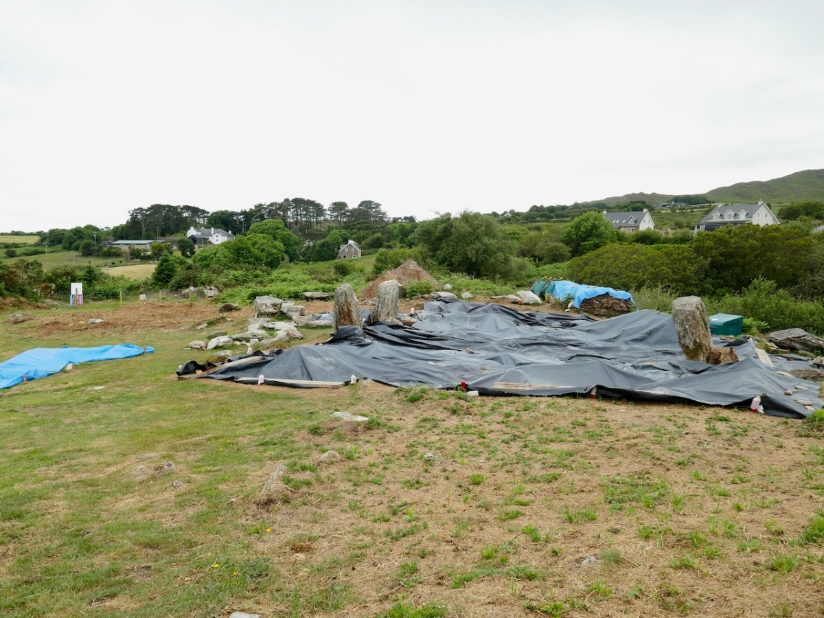
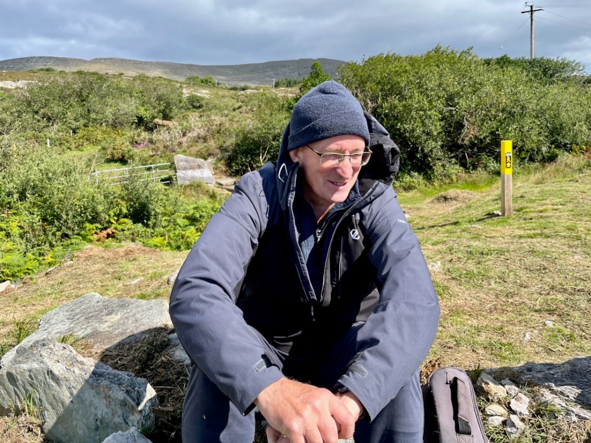
Finola and I visited the site while the archaeological works were progressing (above). Yesterday (5 August 2023) Billy O’Brien (below) was on hand to give a detailed talk on the excavation and restoration work, and we could see, for the first time in many generations, the circle restored to its complete state: it now has all eleven stones standing.
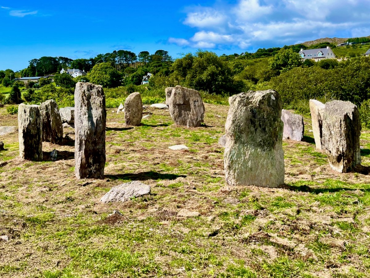
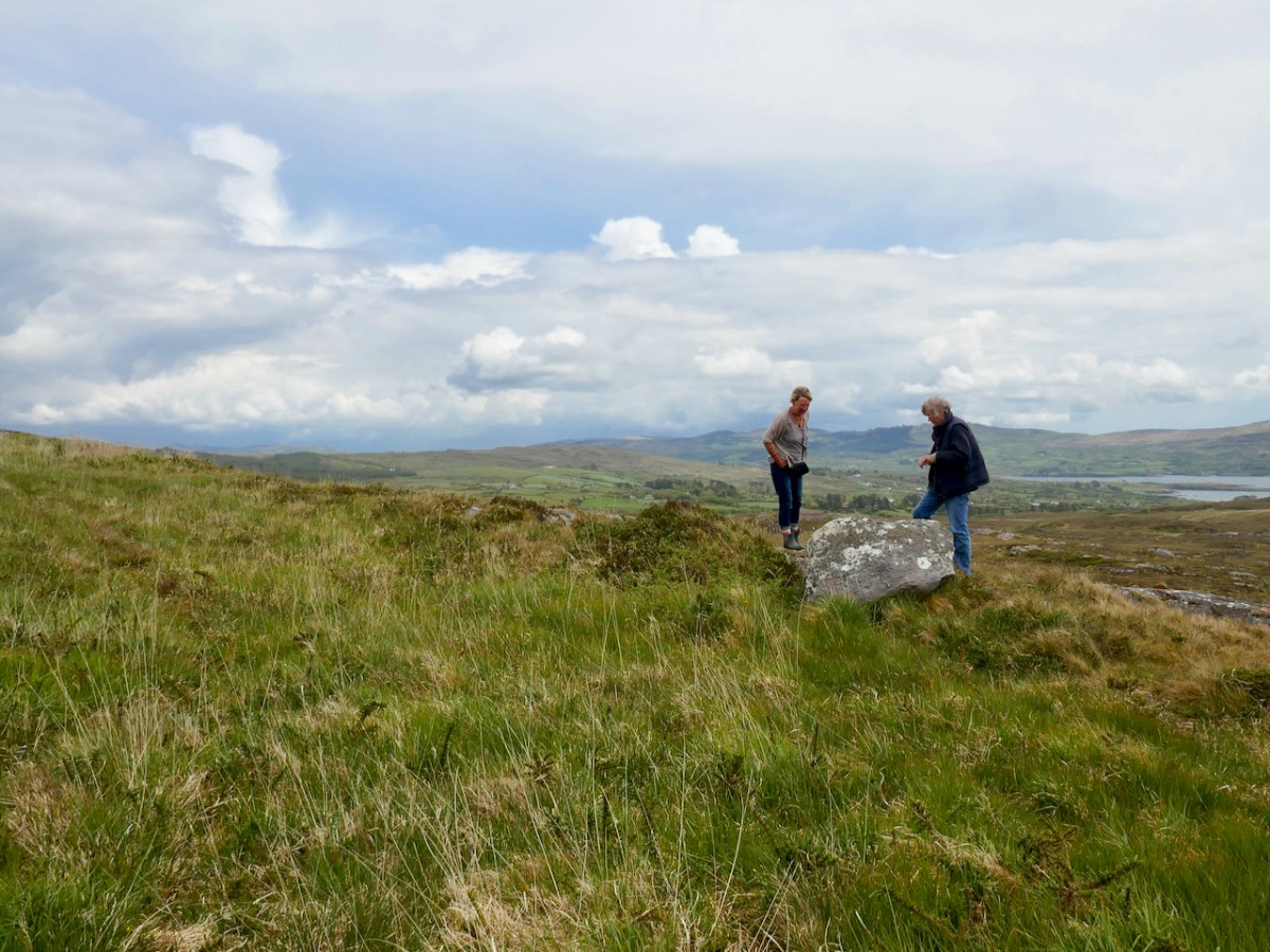
The view above shows a boulder burial monument situated to the south-west of the main circle. This has always been a visible feature of the site. A boulder burial (once called a boulder dolmen) is peculiar to Ireland. In fact it is found only in Counties Cork and Kerry. Finola has written comprehensively on this subject, here. It is usually a substantial raised stone supported on a bed of smaller stones:

. . . Boulder-burials are a group of prehistoric stone monuments of megalithic proportions, whose distribution is largely confined to south-west Ireland. Some 84 examples have been identified, 72 of these in Co Cork and the remainder in Co Kerry, where they occur both singly or in small groups of between two and four. They consist of a large boulder erratic supported by an arrangement of smaller stones, with no covering cairn or tumulus. Several examples are known which are centrally placed within stone circles . . .


Boulder-burials: A Later Bronze Age Megalithic Tradition in South-West Ireland
William O’Brien Dept of Archaeology, UCG 1992

A closer view of the boulder-burial at Gorteanish: it can be seen that the main ‘boulder’ element has split in two through the ravages of time. In the main circle, all the standing stones have been restored to their original (relatively shallow) sockets, and fixed using rammed small stones, following the evidence gained during excavation.

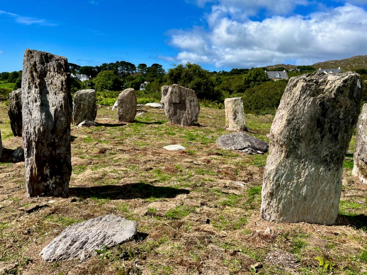
Most stone circles have a specific orientation. This can be seen by the shaping of the stones around the circle. In this case there are two clear ‘portal stones’ on the east side, directly opposite an axial stone on the far side (above). More usually, the stone opposite the portals is flatter, when it is known as the ‘recumbent’. In this case it is a substantial stone with a shaped top (detail, below).Perhaps this points to a feature on the horizon? Our calculations show that the orientation of this circle is towards the winter solstice sunset – just as at Drombeg Circle, not too far from here.

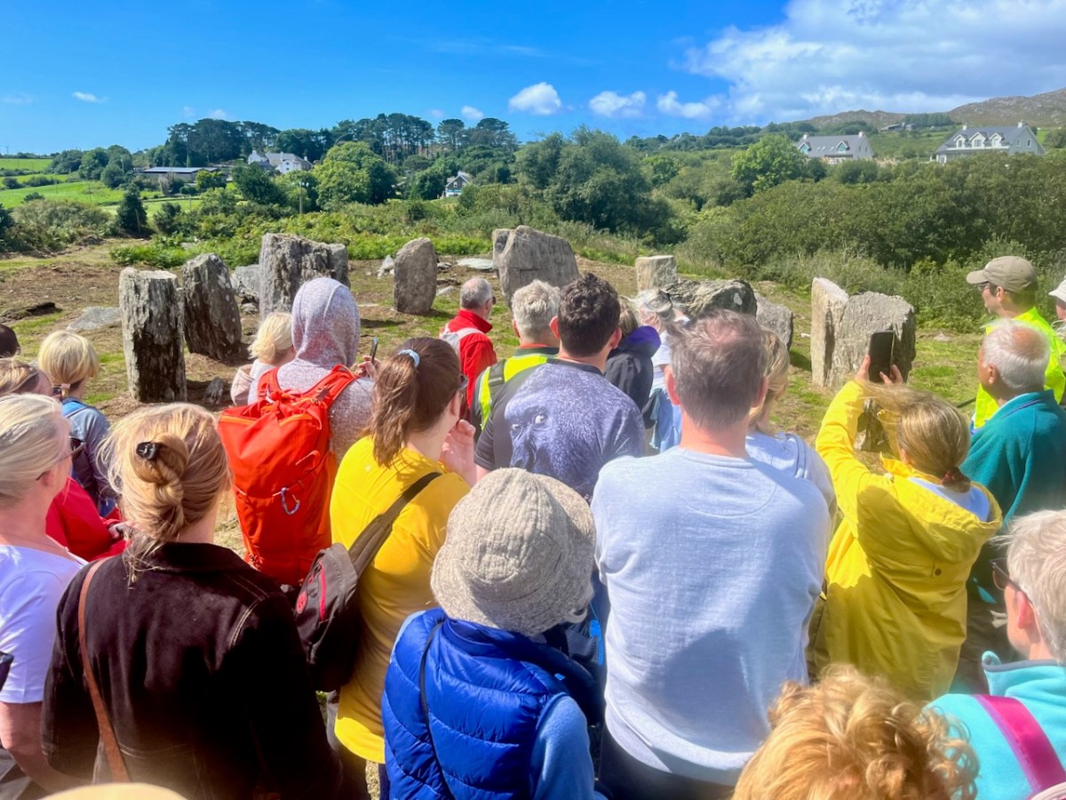
Yesterday’s event attracted a substantial crowd, eager to hear Professor O’Brien talking about this project. Many were no doubt surprised to see the site returned so faithfully to its original state. But – with stones standing – it has now become an iconic piece of archaeology. We are delighted that it is on our doorstep. If you want to read a deeper discussion on stone circles and their historical contexts, look at Finola’s post here – one of many that include the subject.

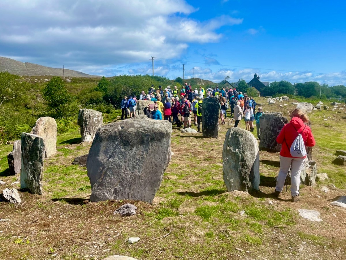
Another thing that Billy pointed out was the significant ancient stone wall that runs across the site; you can see traces of this above. In this view you can also see an elongated large rock apparently lying on its side. Some local commentators have suggested that this was once a very tall standing stone. If so, at about nine metres, it would have been spectacular! But the excavation confirmed O’Brien’s view that it was never standing, and has always been part of the landscape in its current position.
Also, an area of flat ground to the east above the site was closely examined, in case it revealed traces of any human use, but none was found. In fact, there were no signs of any notable human activity. However, one point that I found particularly interesting was that, in the centre of the circle, is a pit containing quartz stones. Quartz, that glinting reflective material that faces the much older main chamber at Newgrange (you can see a pic of it in this post), certainly catches the attention; it’s fascinating that the Gorteanish people – whoever they were – gave it an aura of importance by burying it at the focal point of this circle. The quartz has been replaced in the pit, after the excavation. Its position is marked by the only ‘alien’ element that has been introduce here – a pale coloured flat stone:
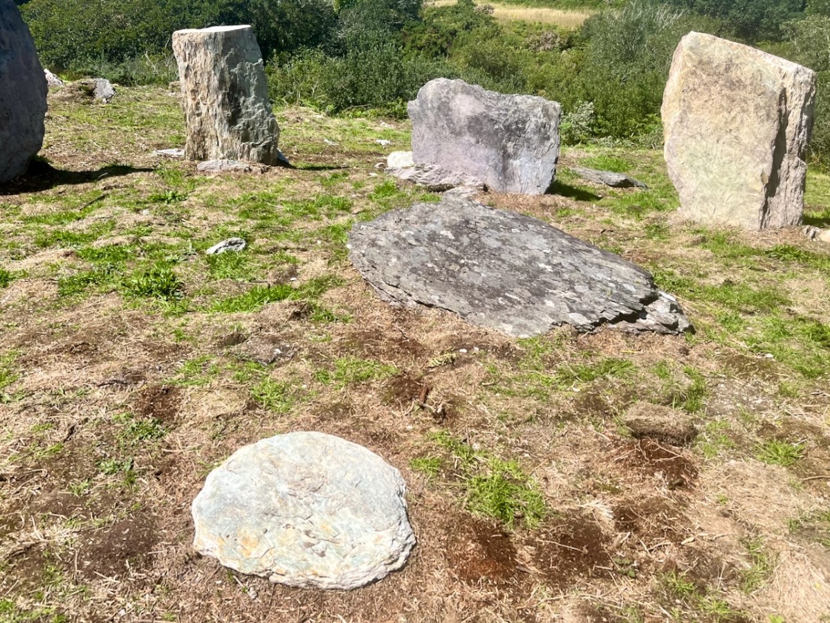
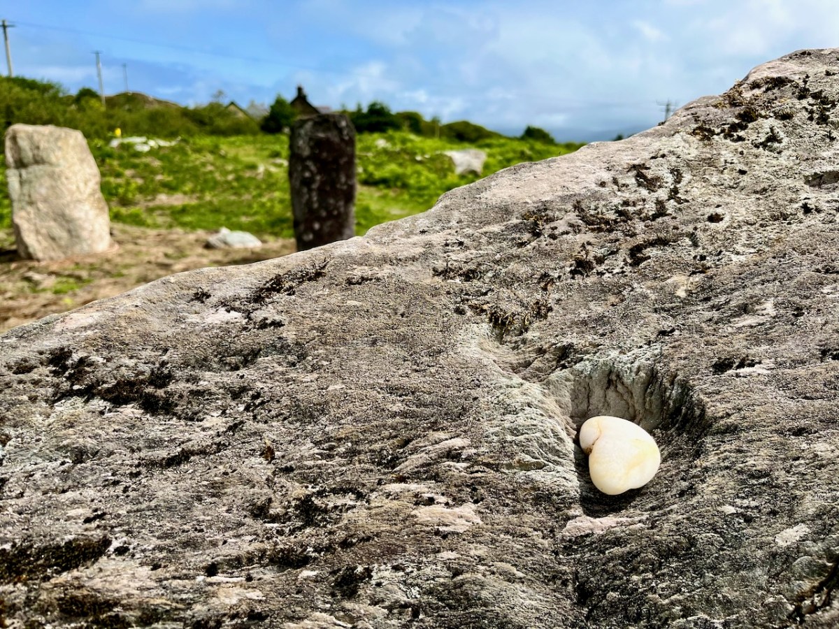
The larger earth-fast stone beyond this new addition has always been there: the site might have been constructed around it. It’s always interesting to see how people are going to react to a circle like this – here is someone’s recent contribution, also giving importance to the ‘magical’ quartz:
All in all, our day was exciting. It’s pretty special to see something ancient faithfully restored – and open for all to access. The seven fallen stones probably collapsed because of cattle rubbing up against them over centuries. That has been prevented now. We hope you will all appreciate – and enjoy – this new West Cork experience.
In High Places

Here is a collection of photographs taken in West Cork from some of the high places: ridges, peaks, mountain paths. The pics were all taken around ten years ago, and haven’t been used in our blog posts previously. They serve to show stunning landscapes, of course, and hopefully illustrate the variety of the country which surrounds us here. The header is taken from the peak above Three Castle Head.
The upper pic is looking down on Bantry town from the high ground to the south, while the lower one reminds you of the evening view from Bantry at sea level.

If you leave your car at Galley Cove Beach and walk up the steep track towards Brow Head you will come across this enormous stone row – and you will look back to the peninsula of Crookhaven. Don’t be fooled by the stones: they have been placed on this site fairly recently. They are impressive, nevertheless.

And here is a closer view of Crookhaven.

While turning from this spot and looking west, you will see the end of the coastline at Brow Head. This stone is likely to be more anciently placed. In the distance is Mizen Head with its Napoleonic era signal tower at Cloghane.

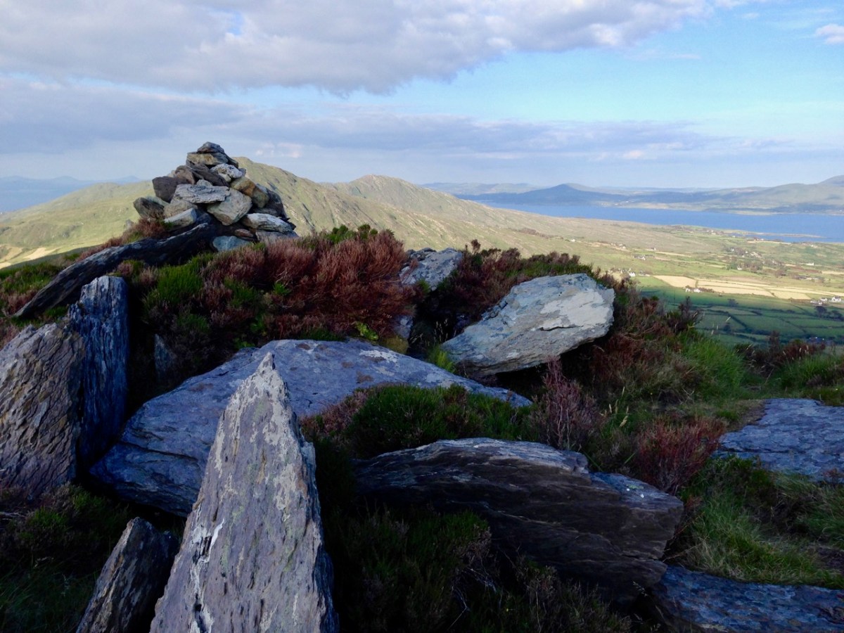
Contrasting light effects seen on the footpath that follows the ridge on the Sheep’s Head Way. That’s the spit of land that runs from east to west between the Mizen Head and the Beara Peninsula. There are cairns on the summits, with the remains of a wedge tomb and a Marriage Stone to be seen along the way.

The view north from the heights of the Sheep’s Head takes in the Beara Peninsula and – seen above – the high point of Hungry Hill dominating the distant rugged landscape.

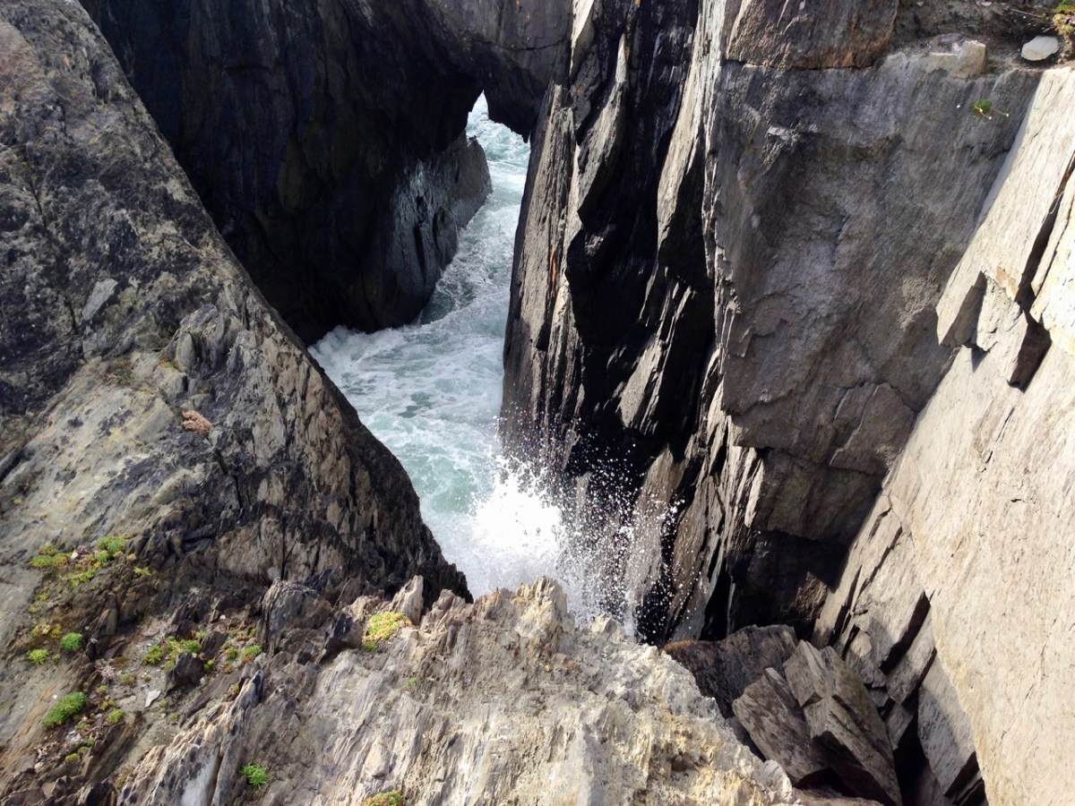
You are never far from the coastline in West Cork. Look out for wild seas constantly sculpting the rocks over millennia.

From our home in Cappaghglass we look out to our own ‘high place’ – Mount Gabriel. This enigmatic tract of land dominates the area and is imbued with legends and folklore. It is also one of the most atmospheric of our peaks at all times of the year.

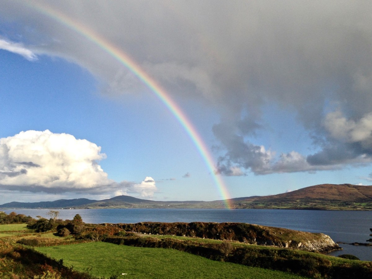
Another local view for us (above): we face out to Rossbrin Cove on the Mizen Peninsula. Finally, the celestial spectacle (below) finds its pot of gold on the shores of the Mizen.

A Dander on The Sheep’s Head

it’s not just for long walks – the Sheep’s Head is also perfect for wandering with intent, having, as my father used to say, a dander. Our trip there this week, in the excellent company of Amanda and Peter, was that sort of day, where we drove around and dropped in and out of interesting places. Amanda and Peter Clarke, our regular readers will know, are the couple behind Walking the Sheep’s Head Way, so who better to have as companions and guides for a day of exploring. Amazingly, given all the time we’ve spent there, only one of our stops was familiar.

Our first stop was a curious stone overlooking Dunmanus Bay. Known as the Giant’s Footprint, the local legend tells a familiar story about two giants throwing rocks at each other. This must have been a mere pebble, because one of the missiles became the Fastnet Rock. Footprint stones are also associated with inauguration sites, where kings were acclaimed in early medieval society. (See the comments section below for a link to an amazing piece of art from our friend, the acclaimed photographer EJ Carr, who used this stone in his fantasy photography piece on the Arthurian legend – follow the link in the comment to view his images.)

Being with Amanda is always a great opportunity to visit a holy well and we had never been to Gouladoo. It also ticked a box for me as I’ve been wanting to visit promontory forts. The holy well first – it’s a Tobar Beannaithe, a Blessed Well, not associated with any particular saints. Amanda’s research revealed that it did have a particular purpose, though – girls would visit to pray for a husband. Read Amanda’s comprehensive account here

Because this is on the Sheep’s Head Way, the route is signposted and maintained. The well itself has a cup thoughtfully provided so you can have a drink if you dare. The path down to it has been carved out of the hillside and roughly paved, indicating that this was a site to which many people once came.

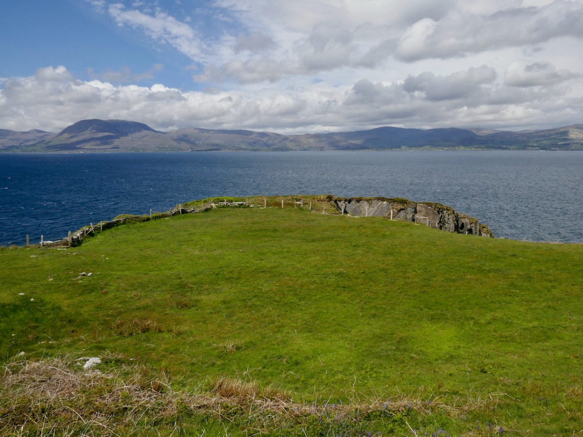
If you turn your back to the holy well, the promontory fort is straight ahead of you.

Where you have a promontory jutting out into the sea it’s easily fortified by building banks and ditches at the neck. Promontories with narrow necks were usually chosen, as being easiest to defend, and archaeological evidence suggests that some were in use as early as the Bronze Age but most evidence of occupation dates to the Early and Later Medieval Period (400 -1500AD). 

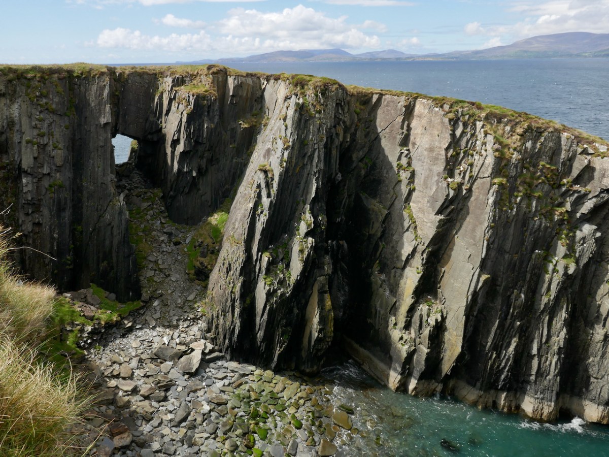
As promontory forts go, this is a classic – a narrow neck with evidence of walls across it, steep cliffs on all sides, and a flat and verdant area in the middle for houses and cattle. This one has an added feature – sea arches underneath! The sea arches mean that this may eventually become an island.

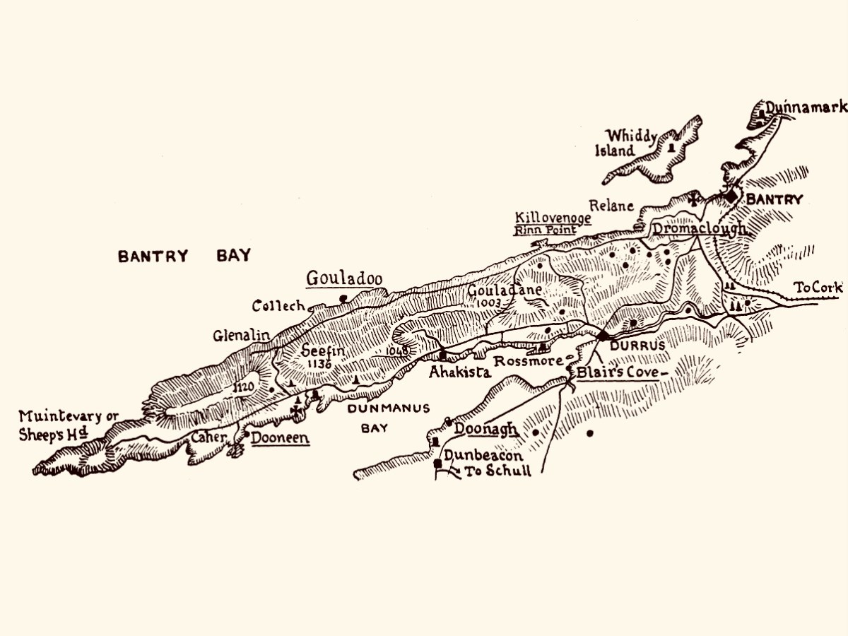
The antiquarian Thomas J Westropp set out to visit all the promontory forts along the Beara and Sheep’s Head in or around 1920 and has left us his account, written over three articles in the Journal of the Royal Society of Antiquaries of Ireland. Gouladoo, as his map shows, was one of his destinations.

Here is his description of the fort as he found it then.

Far to the west of Rinn, in Kilcrohane, is a remarkable fortified headland of dark grey slate, up tilted and separated from the mainland by a gully. This is spanned (like those at Doonagh and Dursey) by a natural arch. The adjoining townland is called Dunoure, but no fort is known to have existed near this, so perhaps that name refers to Gouladoo. The arch is lintelled, like a great Egyptian pylon, and is 15 ft. or 16 ft. wide at the gully. The neck is wider to the landward, and was strongly defended. First we find a trace of a hollow or fosse; then the foundation of a drystone wall 82 ft. long (E. and W.); behind, a natural abrupt ridge forms a banquette over 4 ft. high; the wall is about 12 ft. thick, the terrace 12 ft. to 15 ft. wide. Beyond this the neck was enclosed all round by a fence about 6 ft. thick. The whole work measures about 80 ft. each way. As at Doonagh, I think that the line of debris on the peninsula along the edge of the chasm is a trace of a wall, and that the bare slope behind it was stripped by a landslip. The whole is tufted with luxuriant masses of rich crimson heather.


The Promontory Forts of Beare and Bantry: Part III, Thomas J Westropp
The Journal of the Royal Society of Antiquaries of Ireland, 1921

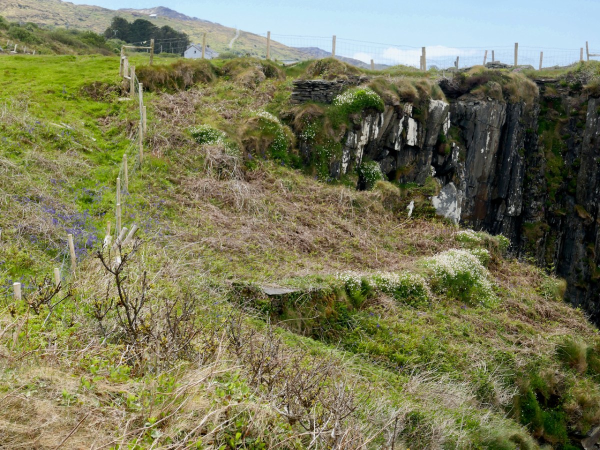
It’s quite difficult to see those features now, although there is a piece of the wall remaining, and what must be his ‘terrace.’

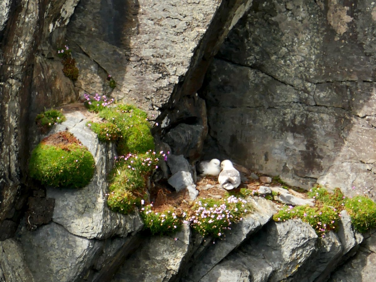
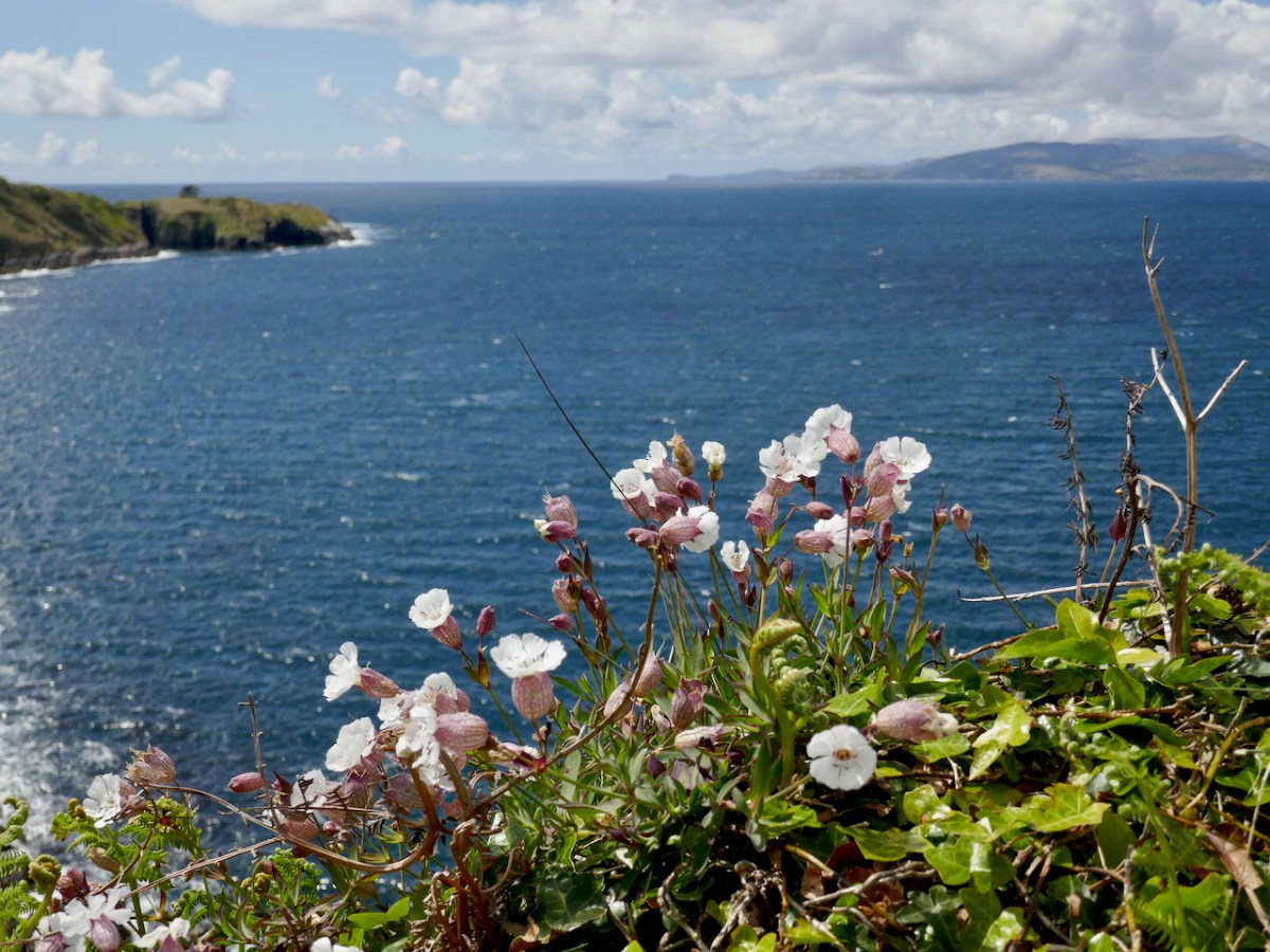
There are other compensations to visiting a site like this – those sheer cliffs which provide such an impregnable defence for the fort, also host many gulls in nesting season. The Bluebells and Sea Campion were abundant there too.

Westropp wrote his article, The Promontory Forts of Beare and Bantry, over several issues of the Journal of the Royal Society of Antiquaries of Ireland, and maybe it would be fun to retrace his steps a hundred years later to see what’s on the ground now – what do you think? 

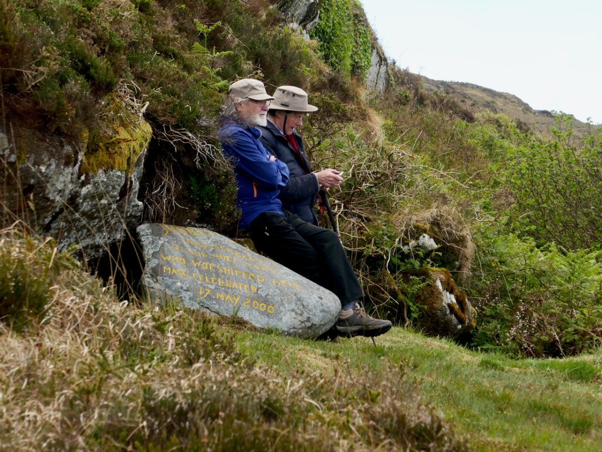
From there it was off to the Mass Rock at Glanalin, an easy walk down from the Pietà in the pass above Kilcrohane. It’s a particularly lovely walk to this mass rock (above), and in May the spring flowers are everywhere, especially St Patrick’s Cabbage, one of the group of plants known as the Lusitanian Flora, that only grows here and in Iberia.

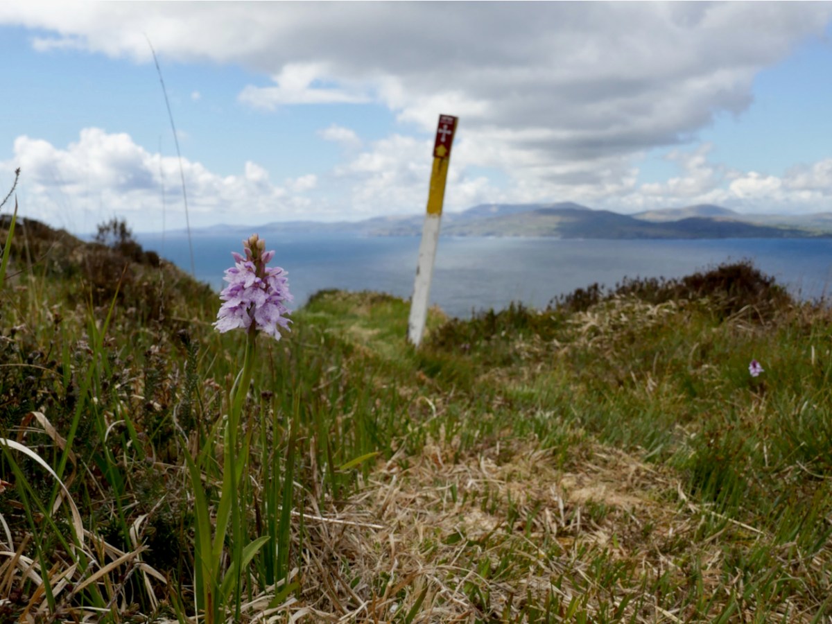
And finding a lone Heath Spotted Orchid (above) was a real bonus too!

By sheer coincidence we were there on the same day, May 17th, when Mass was celebrated here in 2000 in remembrance of the ancestors who worshipped here.

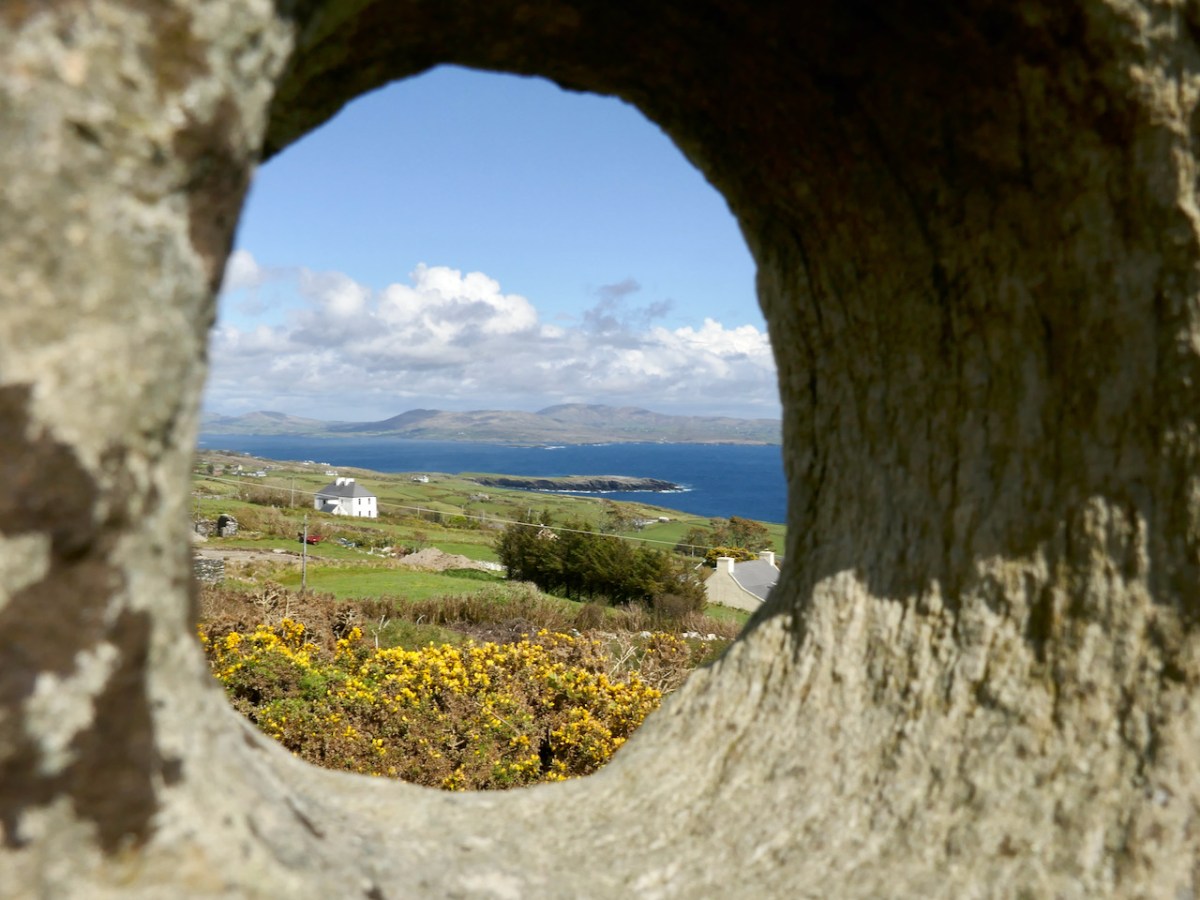
Our final stop of the day was another site new to us, the Marriage Stone! That’s Peter’s sketch of it above, from his Hikelines Blog. Tradition has it that people would get married here, as described by local farmer Jack Sheehan:

The hole in the stone is narrow on one side and wide at the other. The man had a bigger hand and he put his hand through the big side and the woman put her hand through the narrow side. They made their promises when they put their hands through the stone

Of course we all had to do it!

There was a ring fort nearby –  actually described as an enclosure in the National Monuments records – but over the years it has been disturbed to the point where it is hardly recognisable. Perhaps it is this site that gave its name to the townland, Caherurlagh. A caher is a stone fort and so the townland name means Fort of the Slaughter. Perhaps there are some aspects to the history of this area into which we should not delve too closely.

I highly recommend a day like this on the Sheep’s Head, with Walking the Sheep’s Head Way as your travelling companion, and channeling the spirit of old Thomas Westropp. I will leave you with what he had to say about the views north to the Beara as he journeyed along the north side towards Gouladoo

We pass beneath the beautiful woods of Bantry House and the picturesque old graveyard, where the Franciscan Friary once stood erected by O Sullivan in 1330. We reach the shore out of a maze of low green hills, several with ring forts on their summits, near Dromclough. Thence on past Rinn Point and up the lofty road, often unfenced and narrow, along the edge of cuttings and precipices to Gouladoo and Collack. The sweep of the high mountains in Beare and those inland heights towards Muskerry is magnificent as seen across the great bay. From Black Ball Head and Dunbeg past flat-topped Slieve Miskish and the great domes of Hungry Hill and the Sugarloaf, on to the shapely cone of Mullach Maisha, the stately range extends. 

Following the Cascades (Sweet Ilen – Part 7)

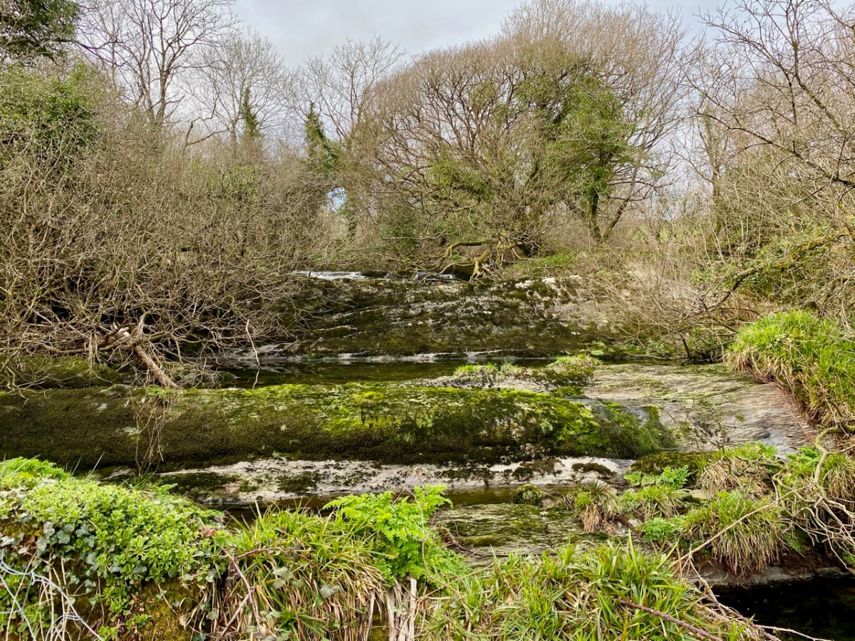
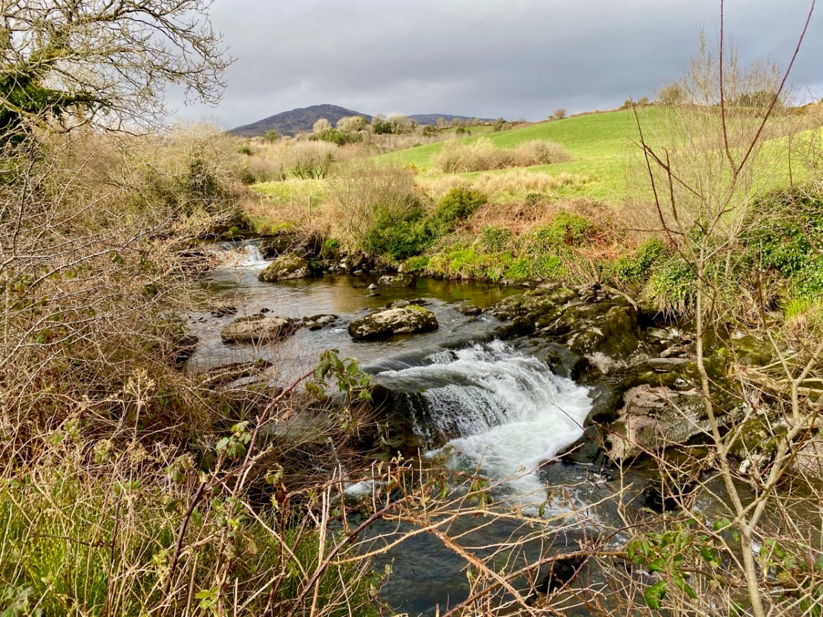
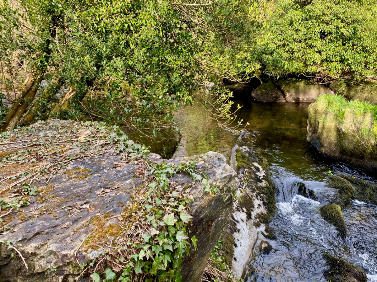
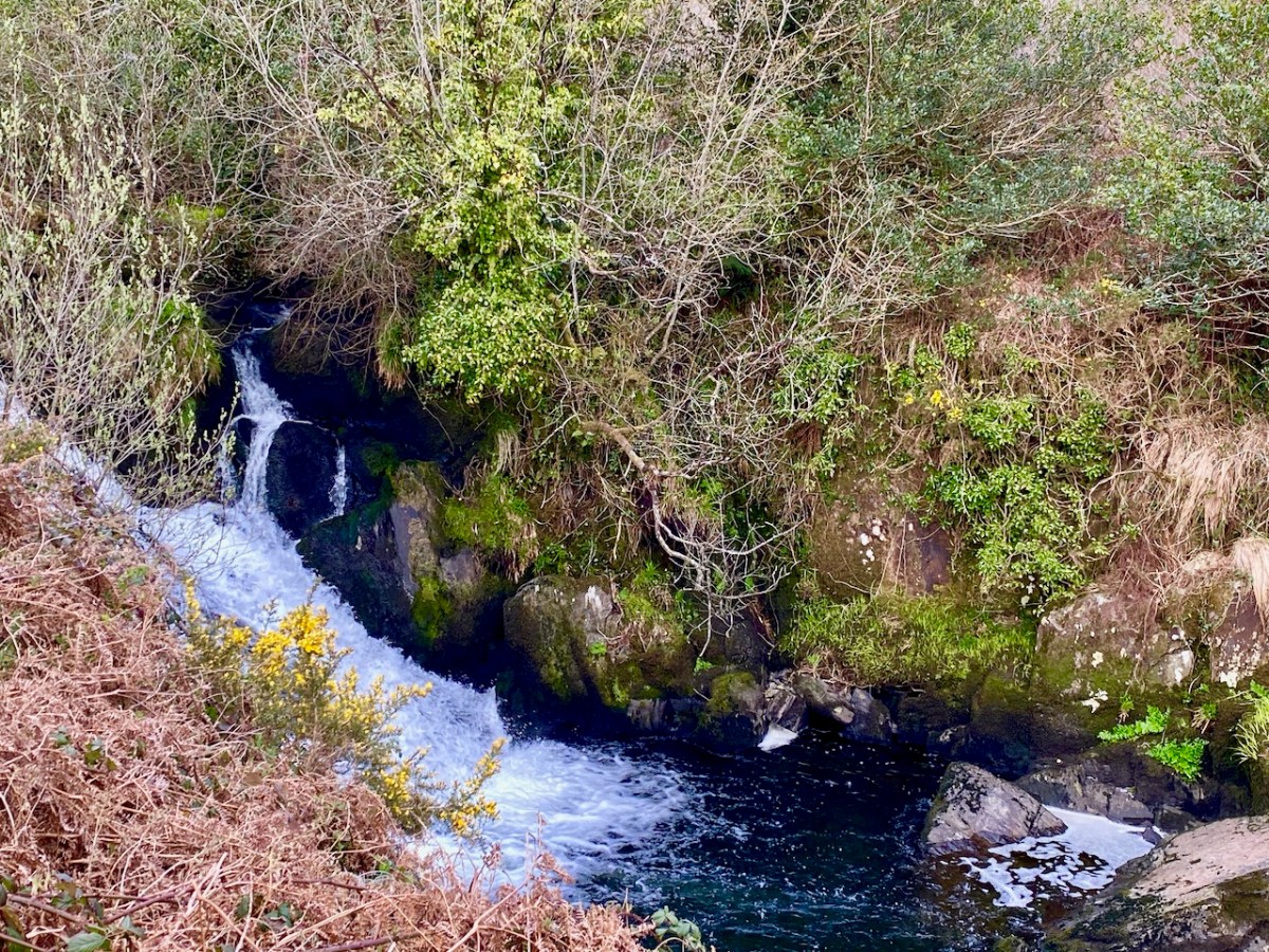
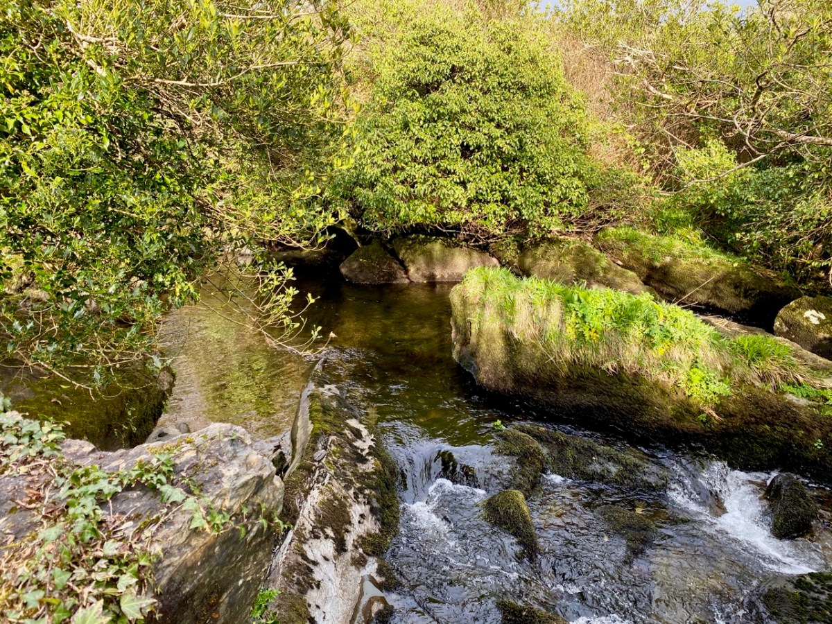
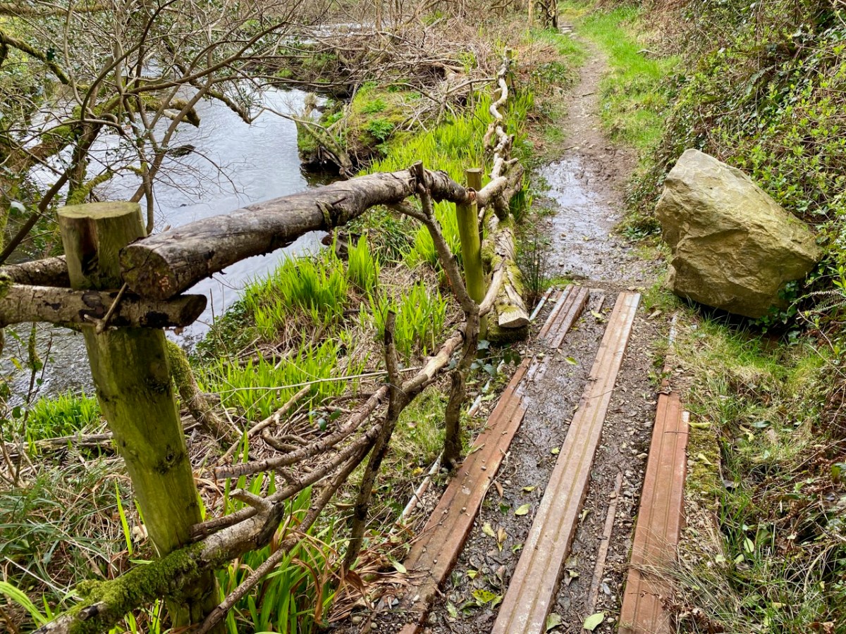
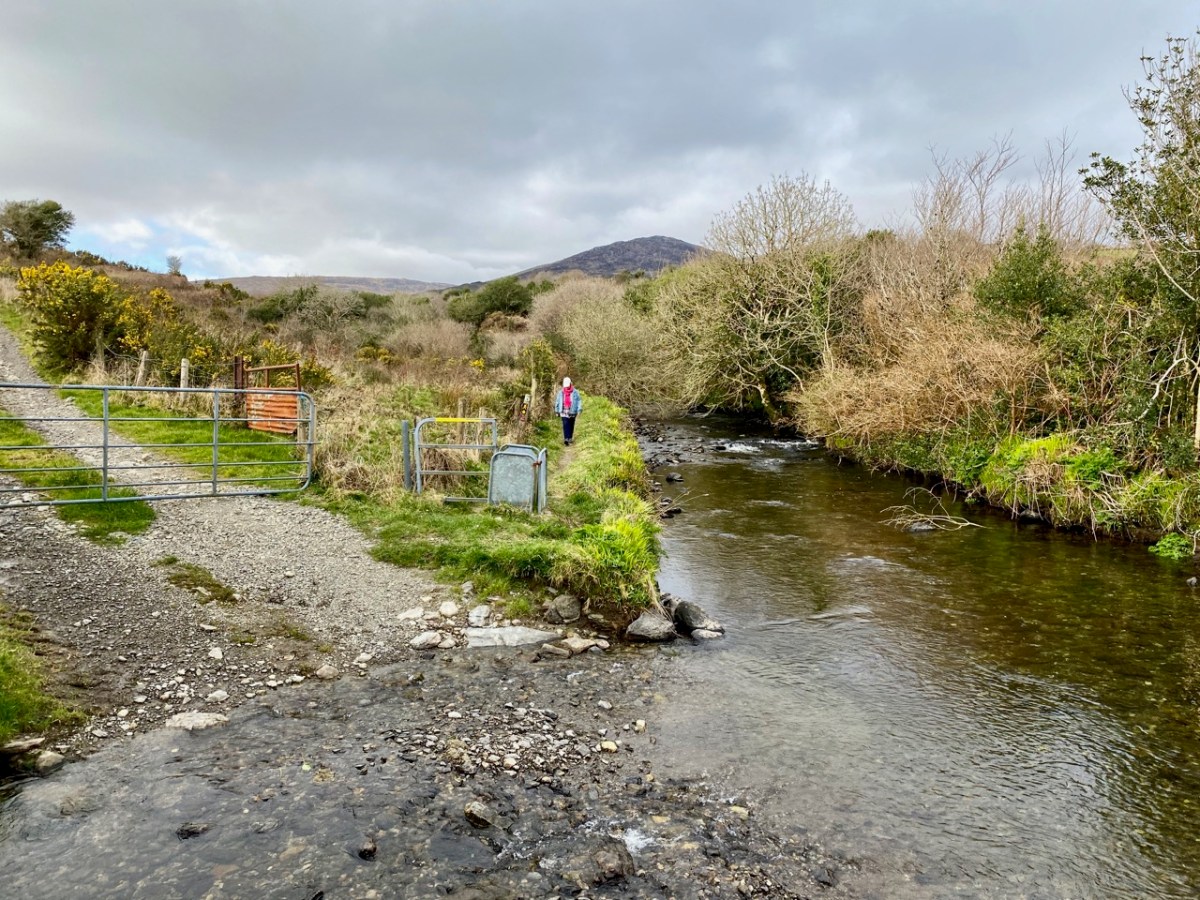
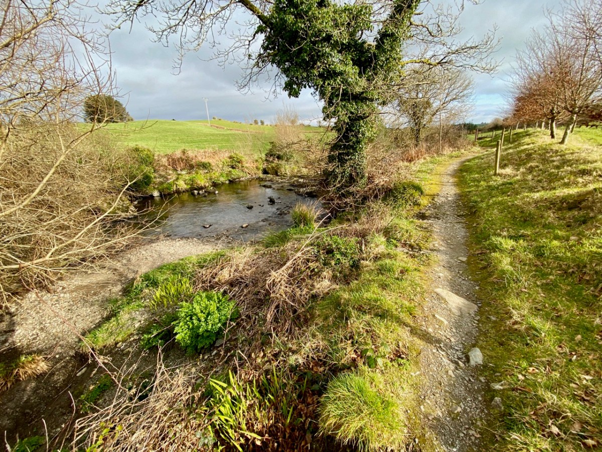
There’s a walk that goes down from Castledonovan to Drimoleague: it follows an ancient mass path and much of it is right alongside the Ilen River. At its northern end there is a section known as the Deelish Cascades: this is geologically fascinating, and gives us some insights into how our West Cork landscape was formed thousands of years ago.

. . . The oldest rocks exposed in West Cork are of Devonian age (410 – 355 million years ago) . . . These mostly red and green sandstones, siltstones and mudstones were deposited on a continental landmass in a low latitude desert or semi-arid environment. The sediments were deposited from rivers, whose flow was dominated by flash-floods fed by episodic rainfall, which originated predominantly from mountainous areas lying to the north which were were formed during the Caledonian Orogeny (mountain building event) in latest Silurian and early Devonian times. The environment was perhaps similar to the present day Arabian desert. This “Old Red Sandstone” continent extended over what is now northwest Europe. In Cork and Kerry these sediments accumulated in a large subsiding trough (the Munster Basin), resulting in one of the thickest sequences of Old Red Sandstone encountered anywhere in the world (at least 6km thick) . . .

Geology of West Cork, M Pracht and A G Sleeman, geological Survey of Ireland 2002

I have marked on this Geology Map the course of the Ilen River from its source on Mullagmesha Mountain to the tidal estuary which begins at Skibbereen. The map shows the ‘grain’ of the various faults which run SW to NE over the terrain: the river generally flows perpendicular to these faults, and the ‘grain’ is clearly seen in the exposed river bed running over the Deelish Cascades.

Praeger usefully simplifies the geological definition of the landscapes (for more on Praeger see Finola’s complementary post today):

. . . The story which geology tells as to how West Cork and Kerry got its present form is interesting, and I shall try to tell it in non-geological language. Towards the close of Carboniferous times – that is, after the familiar grey limestone which covers so much of Ireland and the beds of sandstone and shale which succeeded it were laid down on an ancient sea-bottom, but long before the beginning of the Mesozoic period, when the New Red Sandstone and white Chalk were formed – the crust of the Earth in Ireland and beyond it was subjected to intense lateral squeezing from a north-south direction. This forced it into a series of great east-west folds, thousands of feet high from base to summit – the Carboniferous beds on top, and below them and following their ridges and hollows the massive strata of Devonian time, and other deeper-buried systems. A series of pieces of corrugated iron laid one over the other will illustrate what happened. The folding was developed particularly conspicuously in the Cork-Kerry area. What we see is the result of this ancient crumpling, now greatly modified by the effect of millions of years’ exposure to sun and frost, rain and rivers . . . The more resistant slates, carved into a wilderness of mountains, still tower up, forming long rugged leathery ridges. A sinking of the land has enhanced the effect by allowing the sea to flow far up the troughs. That the ridges were longer is shown by the high craggy islands that lie off the extremities, and continue their direction out into the Atlantic . . .

The Way That I Went, Robert Lloyd Praeger, Methuen & Co London, 1937

While the upheavals of far-off eras reaching back millions of decades certainly laid the foundations of our landscape, the geological events which actually honed the shaping of the terrain as we see it today are far more recent – the ‘Ice Ages’ which developed only 30,000 years ago and had receded by about 10,000 BC. During that time sea levels fell and then rose again, and the topography and shoreline of the island with which we are familiar today was established. The ice sheets covered most of the land and were up to 1,000 metres thick. As they melted, glaciers fell away from the highest points and carved fissures into the slopes, creating valleys and rivers. One of the most extensive ‘local’ ice-caps was in south-west Munster where a ‘Cork-Kerry’ glaciation, centred on or close to the Kenmare river, developed independent of the general ice sheet. Our own ‘Sweet Ilen’ was a consequence of the ice movement, and the rock formations that we see in the Deelish Cascades are good evidence of these modern geological events.

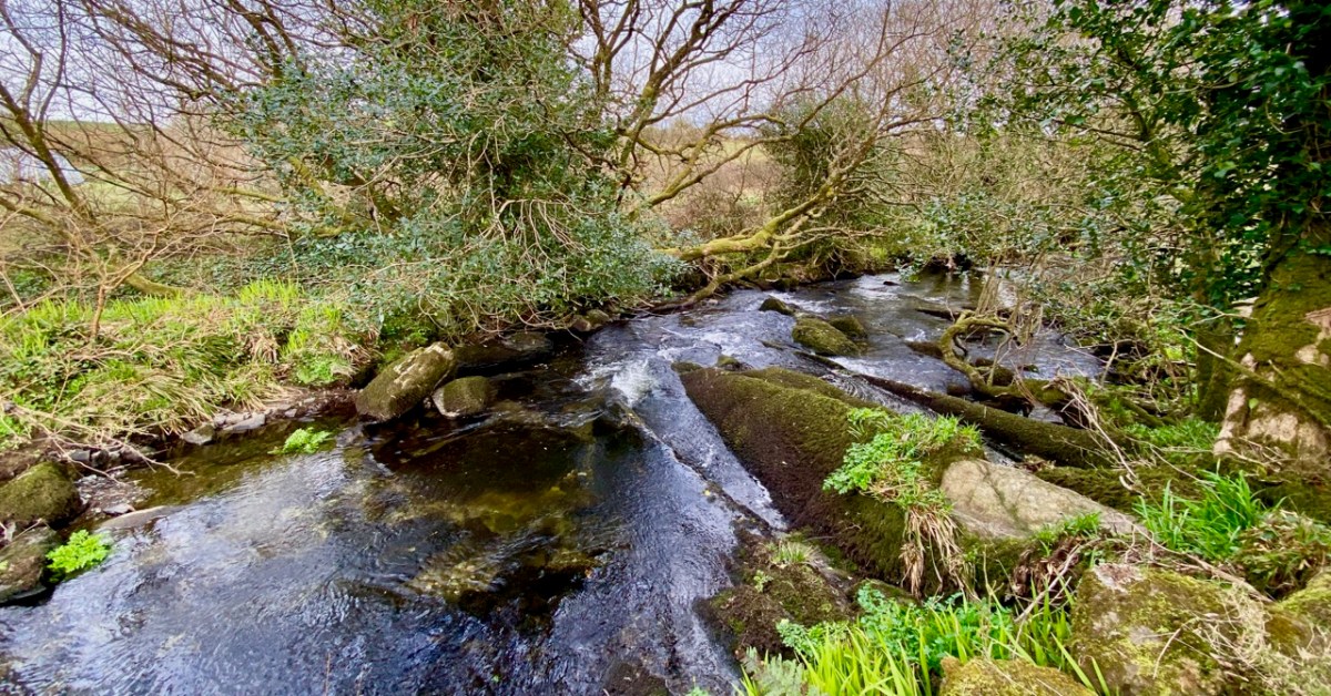
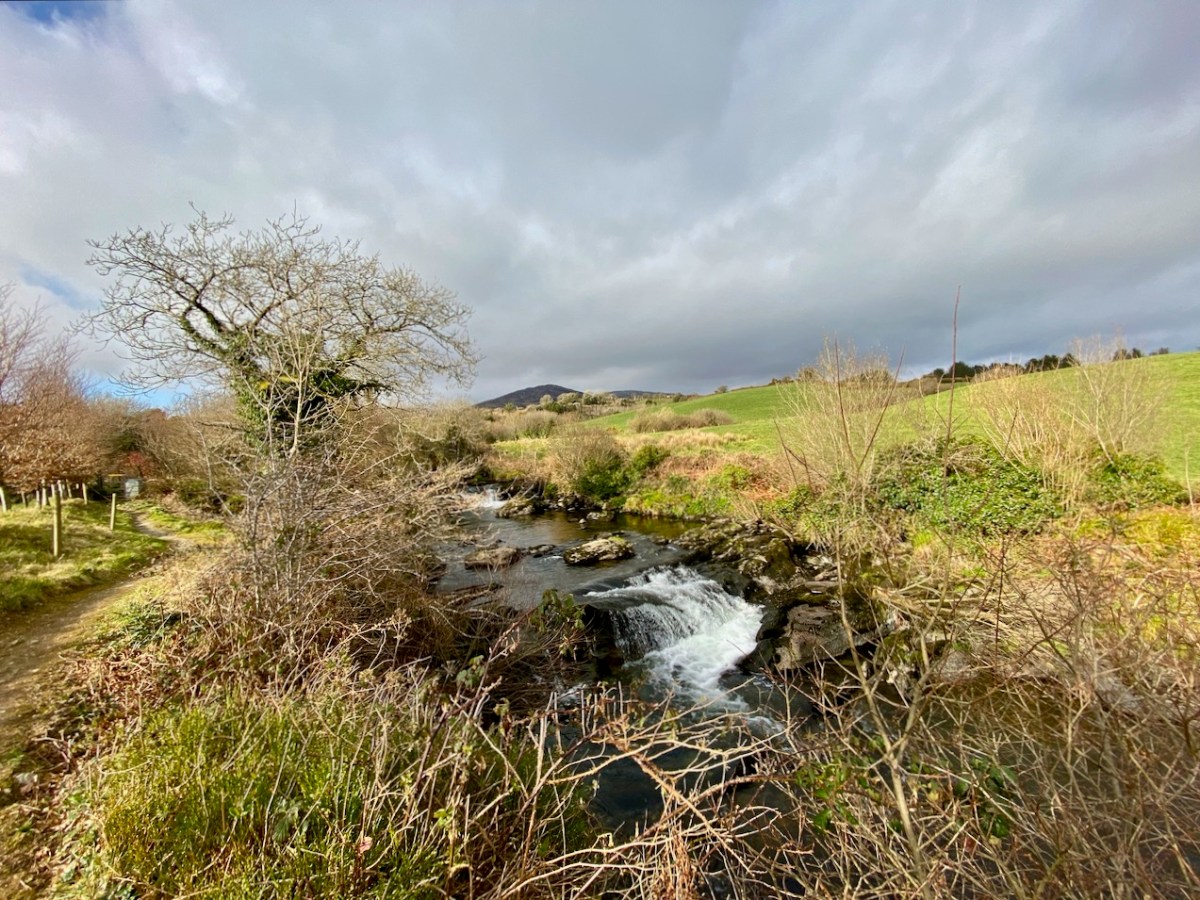
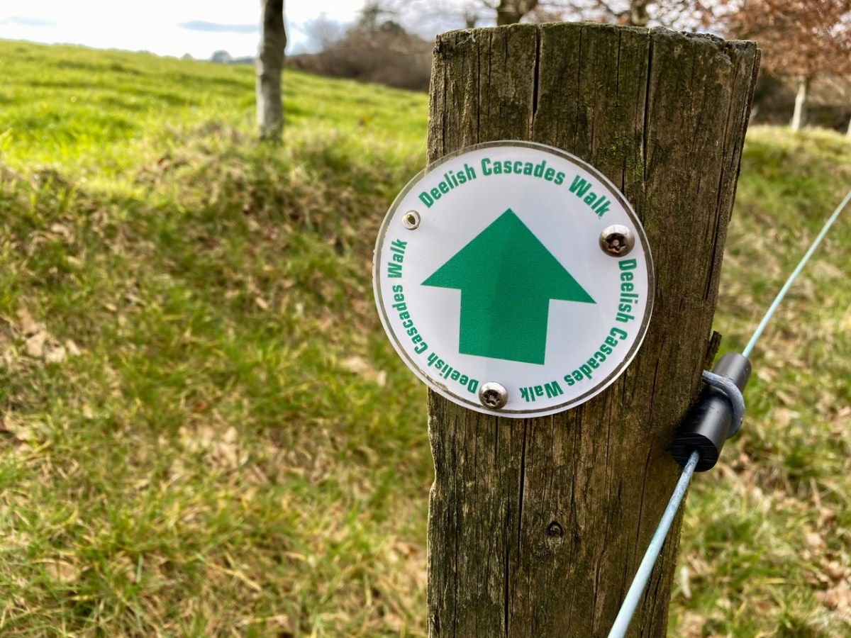
All the way down the Cascades you will see evidence of the scouring of the rocky river bed, and huge ‘erratic’ boulders that have been carried from the mountain-top on the ice flow, to be deposited randomly – and picturesquely – in the torrent. Of course, you don’t have to know about geology to appreciate the walk: you are free to explore the well kept path and delight in this West Cork experience which has been laid out for us all through the mighty efforts of the Drimoleague Heritage Walkways and the Sheep’s Head Way.

Previous episodes in this series: Sweet Ilen : Sweet Ilen – Part 2 : Sweet Ilen – Part 3 : Sweet Ilen – Part 4 : Sweet Ilen – Part 5 : Sweet Ilen – Part 6

Black and White on the Sheeps Head

Some days, especially in the winter, just feel like black and white days. The sky is grey, the sea is silver, the rocks are black – colour drains from the landscape as atmosphere and mood creep in.

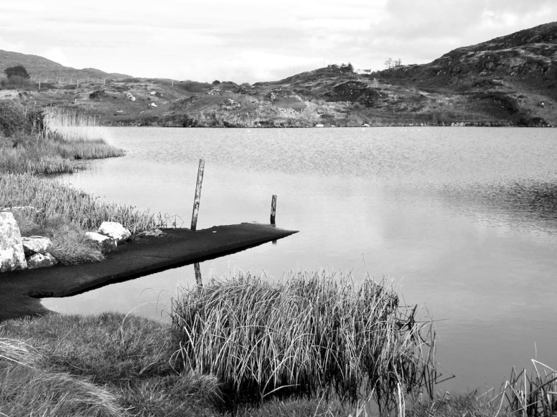
Now that we are allowed a bit more freedom of movement and association, we headed over to the Sheep’s Head yesterday for a walk with Amanda and Peter. We did one of our all time favourites, the Farranamanagh Loop Walk, which takes in Farranamanagh Lake and the O’Daly Bardic School.

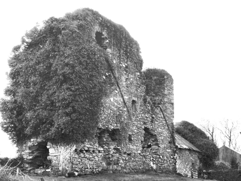
We stopped on the way to look at Rossmore Castle, near Durrus. This is a fairly vestigial, probably fifteenth or sixteenth century tower house, probably built by the O’Mahonys but taken over by the McCarthy’s at some point. Not only is there not much left standing, but what is there is covered in ivy, so it’s hard to make out a lot of features. One thing that has survived up to a couple of stories, though, is the stairwell, with a few treads of the original spiral staircase still hanging on. 

Then it was on to our rendezvous with Amanda and Peter and the walk. I’ve provided a map, which comes from the Sheep’s Head Way website. As always, for your companion on any of these walks, we recommend Amanda’s book, Walking the Sheep’s Head Way, now in its second edition. You can buy it in all the local bookshops or get it online.

We started the walk at Dromnea car park (P on the map) and crossed the road to the short walk up to the Well of the Poets (430) (you can read more about the well here, and see what I am writing about in full colour) and on down the old green road. We walked along the road until the spot indicated by the arrow, then down to the shore.

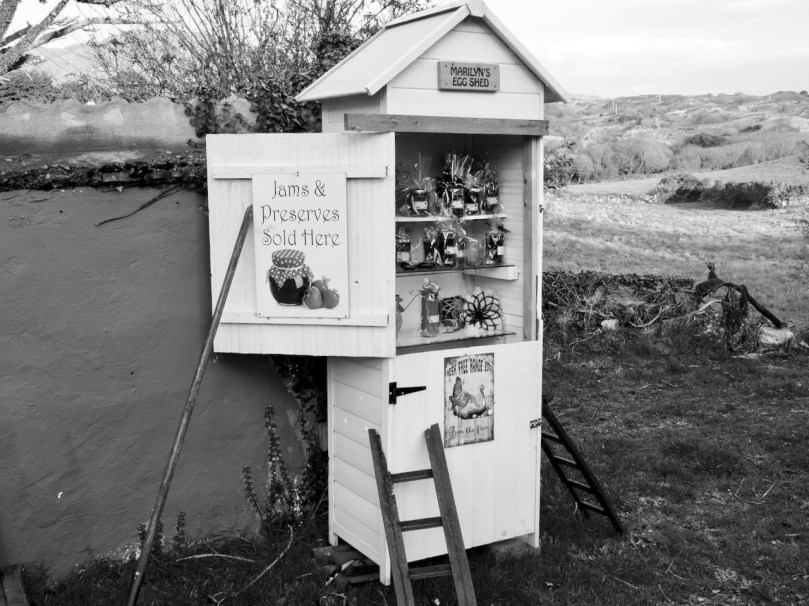
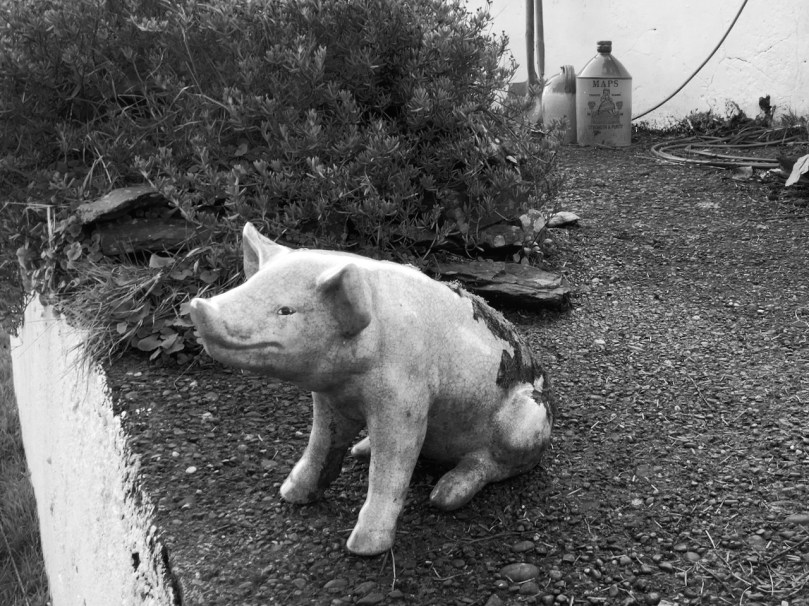
The ‘castle’ marked on this map, by the way, is practically invisible – nothing remains except some rubble. This road leads you past a quirky little small holding that is locally famous for its eggs and jams – and for its alpacas!

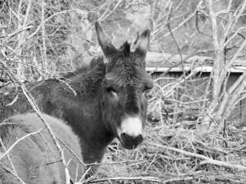
Although we saw the alpacas yesterday it was the donkeys that caught my eye. Donkeys, although they are actually not native to Ireland, seem like such iconic Irish animals, beloved of postcard makers, with panniers of turf on either side.

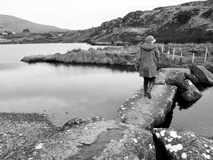
Photographing in black and white like this makes everything seem at once nostalgic and old, as if I had been transported back a hundred years. If you don’t squint too hard at the houses you can imagine them as simple whitewashed cottages with thatched roofs. You can, can’t you?

From 410 you walk along the lake shore to a clapper bridge across the stream that drains the lake into the sea, and then uphill and back towards the Bardic School.

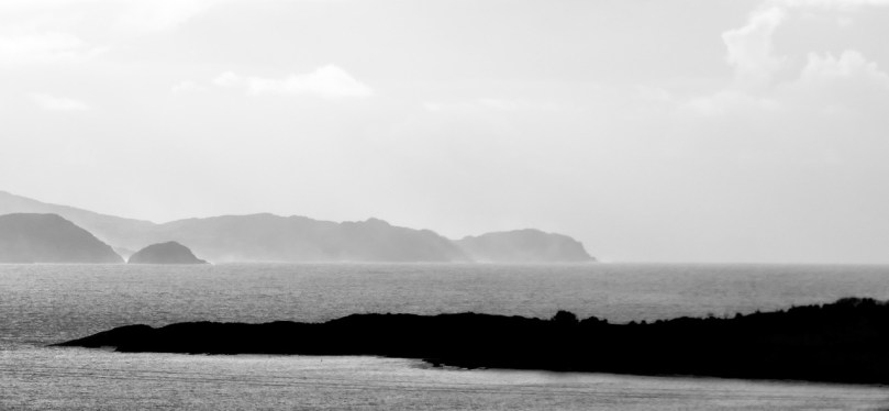
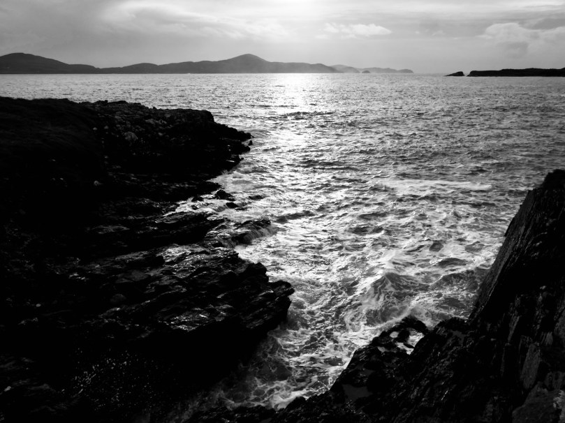
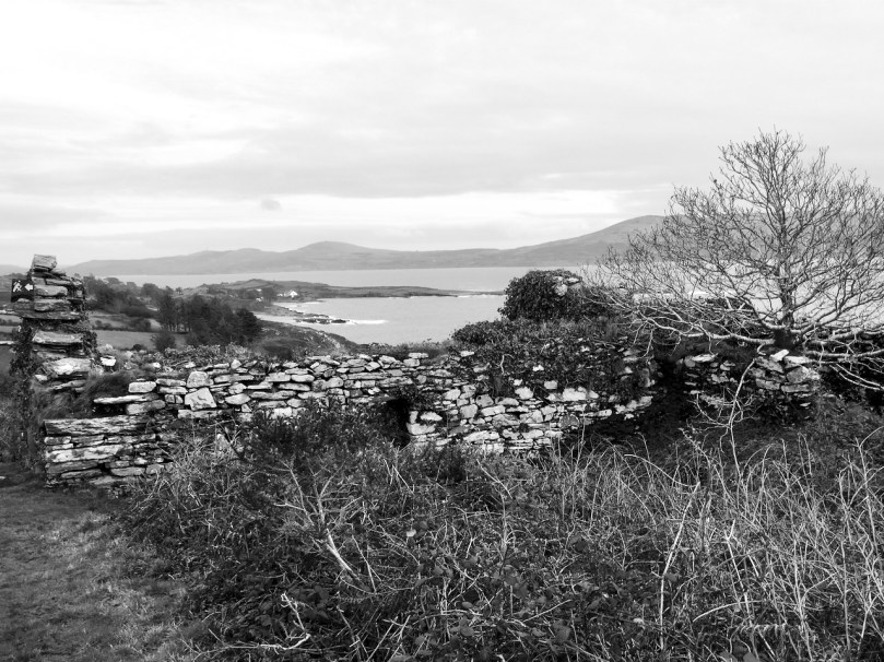
One of the lovely things about this particular walk is that you are looking across at the Mizen Peninsula all the time and on a day like this the impression is of a series of hills receding into ever more misty contours. The effect is ethereal and mysterious – see my top two photos at the start of the post.

The lake itself is home to the sons of the King of Spain in the form of swans. You can read that story in Robert’s post from way back in 2012, Of Kings and Poets. That post will also serve as an introduction to the Bardic School and its most famous poet, Aenghus O’Daly, The Red Poet. He may have made his home in the ruined castle marked on the map – it was an O’Daly castle, their only one in this area, and an indication of the power and prestige that accrued to bards.

The ruins that are nowadays pointed out as the remains of the Bardic School may indeed have been part of it and it was certainly right in this area. The views from them are so magnificent that the poor apprentice poets had to be locked into darkened rooms so they could concentrate on composing their stanzas.

As we write, the vaccination program for Ireland is being put together by an expert panel. We feel hopeful that future Sheeps Head walks can resume their gentle, charming rhythm without the underlying low-level fear that accompanies us at the moment. We are moving from darkness to light.

Through The Big Gap

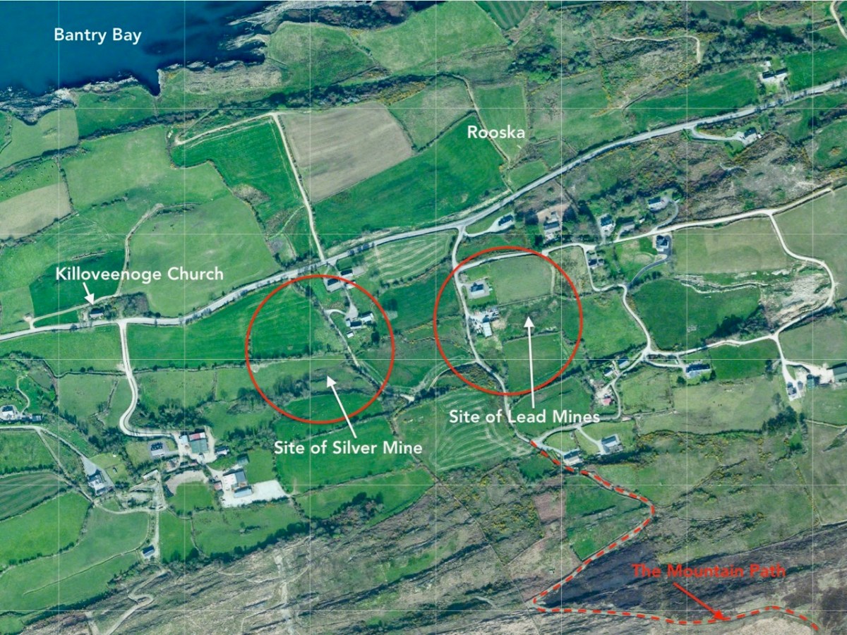
It’s October: autumn light is playing on the skies and seas as we set out to cross the Sheep’s Head peninsula on a path which is new to us. The path traverses the backbone of this peninsula – a ridge which is virtually continuous from east to west – and runs from Rooska, a settlement beside Bantry Bay on the Northside, heading south for Coomkeen and then Durrus. Before we take to the hills, however, we need to prepare ourselves with some sublime scenery en-route, a little excursion into vernacular architecture, and an encounter with local expertise.

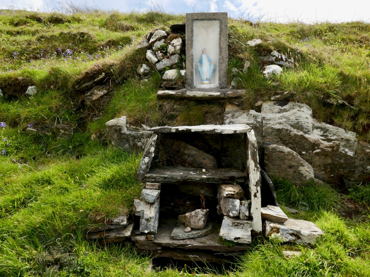
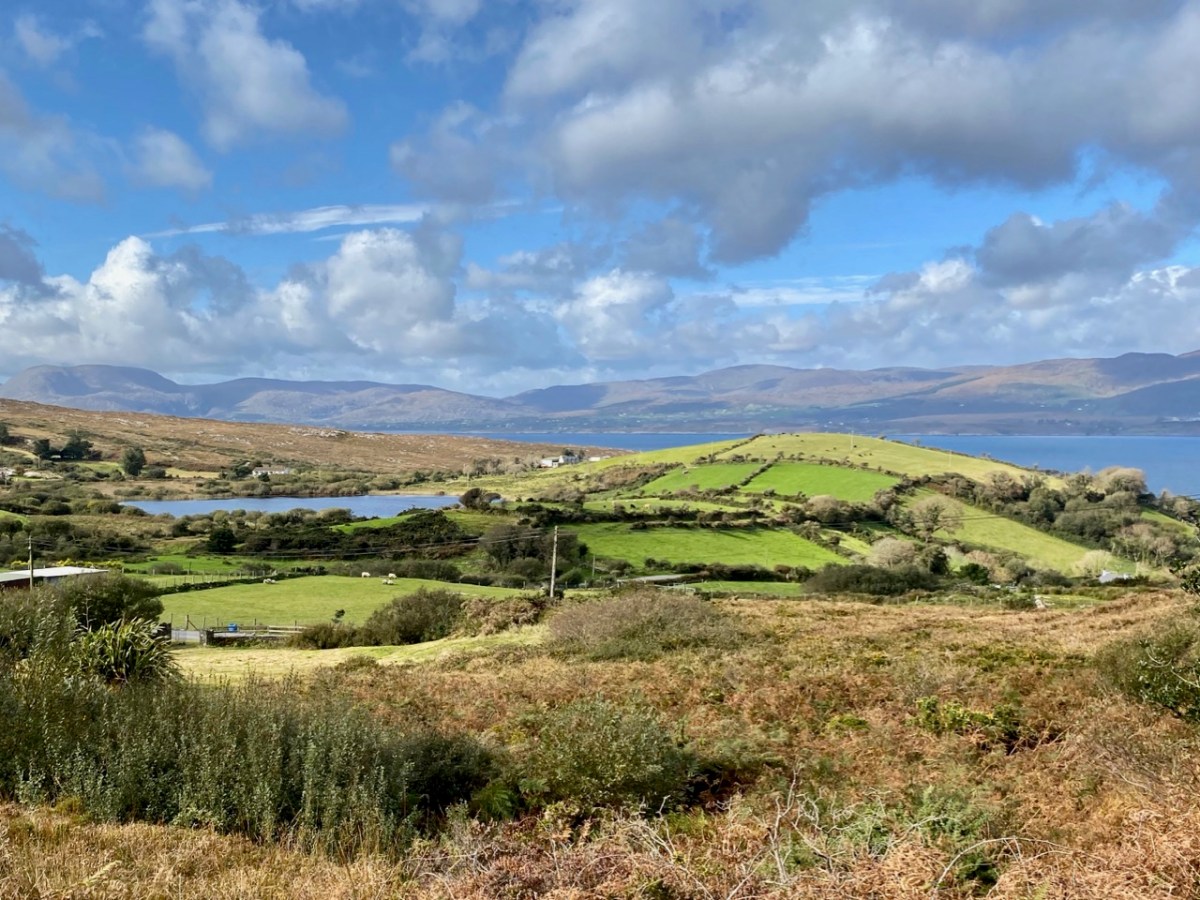
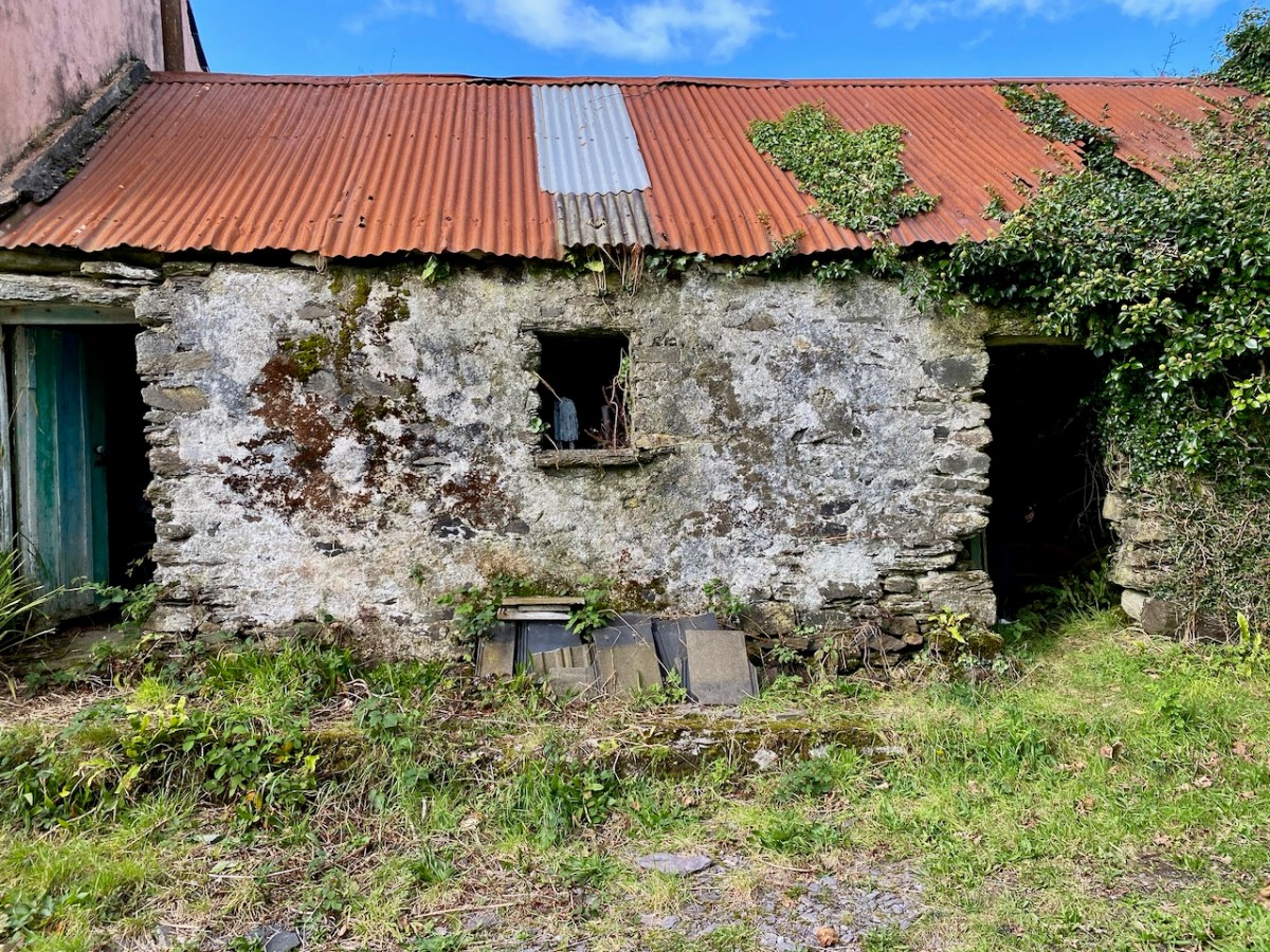
From upper – a Sheep’s Head pastoral, the view over Glanlough towards distant Beara; a perfect composition in tin and stone; a niche for offerings? Looking to the ridge – and The Big Gap – in the distance; Joe O’Driscoll with his architectural egg-box. Unfortunately the hens are not laying at the moment!

We are heading to the start of our climb and find a busy settlement, historically once a mining centre and now home to a major award winning seafood producer, bravely weathering the Covid storms. It’s worth a look at their colourful website! You might not expect to see such a venture on the wild and remote Sheep’s Head Northside, but it’s a great boost to a fragile local economy. We wish them well in surviving the Covid19 crisis. Parking up at Rooska, we get first sight of the zig-zagging route that will take us over towards Durrus, passing through The Big Gap at the summit of the hill.

Upper – looking north across Bantry Bay from the path; middle – from the south, the path descends through The Big Gap; lower – the path can be seen on the right cutting through the hills: the highest point is 200m above sea level

I tried in vain to find a name for the way we followed. I would like to have called this post The Mass Path, which is given to it on a modern guide, and it does seem probable to us that one purpose of the trackway would have been to take Northside dwellers over to the old Catholic church at Chapel Rock in Durrus, a distance of 7 kilometres (or four and a half miles in older times). There and back would have been a taxing walk for a Sunday morning on an empty stomach (you have to fast from midnight before taking communion)! However, we were told locally that our intended way will lead us through The Big Gap, hence my title.

This view over the Northside area of Rooska, above, shows several features and the beginning of the path over the mountain heading south. Notable is Killoveenoge Church, known as a ‘Chapel of Ease’ and said to have been built in the 1860s specifically for the English and Cornish miners who were working in the nearby silver and lead mines at the time. There are scant remains of these mines now, and the Church of Ireland building was closed in 1988 and converted to a studio.

Looking down on Killoveenoge Church from The Big Gap path, with Bantry Bay beyond

The townland name Killoveenoge translates as Church of the Young Women and the only explanation of this I could find suggests that the site was anciently a priory, sacked by the Vikings in 890AD. It is also said that some ruins of this are visible, but we failed to find them – nor any factual historic records. The Schedule of Monuments notes a circular burial ground in the west of the townland with early grave markers, but nothing more. Clearly folk memory transcends recorded history, and that is one of the attractions of Ireland – to us, at least.

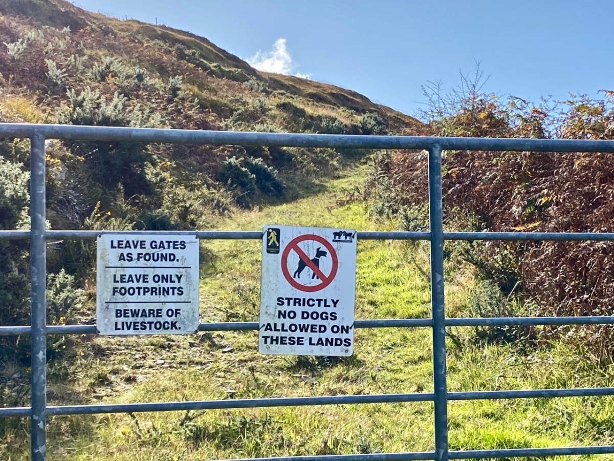
Upper – The Sheep’s Head Way trails have a strict code, which benefits all users; middle – the ruins of a cottage almost lost in the furze. The mining records mention a ‘miner’s cottage’ still being visible: could this be it? Lower – gaining height as the path gets steeper: that’s Whiddy Island in the distance

The wider aerial view shows the full length of the old trackway as it crosses the mountain through The Big Gap. Just past the summit when heading south is another landmark, also holding a folk memory. Lough Na Fuilla translates as ‘Lake of the Blood’:

A reed-filled lake suddenly appears; so many different greens, so far from anywhere and the gentle murmuring of the reeds all combine to make a rather unsettling atmosphere . . . Maybe it’s knowing the name of the lough, Loch Na Fuilla, lough of the blood, that plays tricks on the mind. There is a story attached, of course. One extremely hot summer the cattle came down from the mountain in search of water. The lough was empty. Maddened with disappointment and thirst the cattle went berserk and attacked each other and many were killed.

Walking the Sheep’s Head Way – Amanda and peter Clarke – Wildways Press 2015
Lough Na Fuilla, and a nearby tarn on the east side of the trackway. The autumn colours are sublime

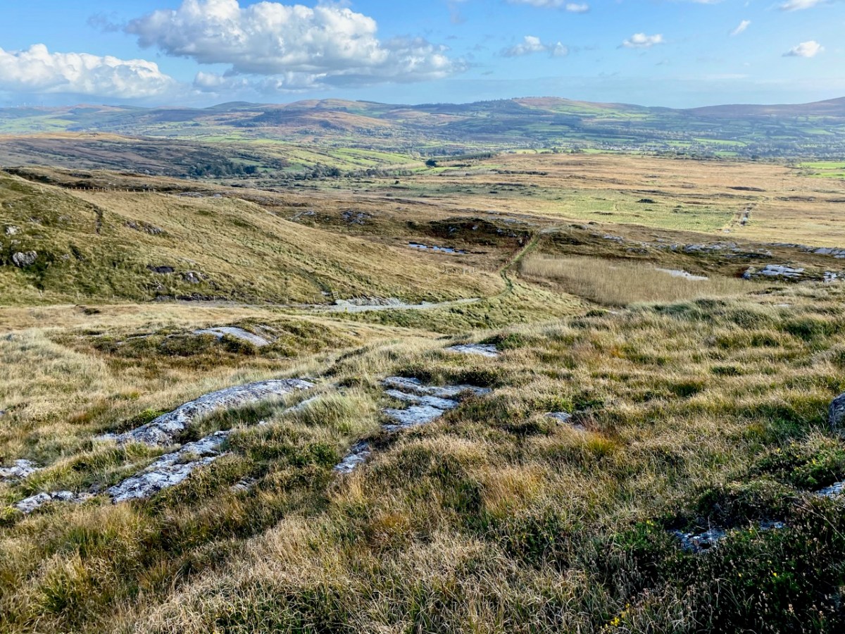
Neither the Lake of the Blood nor the nearby tarn are shown on the early OS maps. The few remaining mining records, however, mention that there was some prospecting activity up on the ridge: could this have relevance? And is this another reason for the existence of this path? We are impressed with the views from The Big Gap both north and south. We temporarily divert on to a stony sheep path to get even higher, and to find the best panoramas. From the ridge we also record the contrasting light and shadow effects from a constantly changing sky.

We pause to wonder whether a large rounded outcrop is the Eagle’s Rest which is mentioned by local historian Willie Dwyer, of Rooska:

The gap going through the mountain there, by Loch na Fuilla, the locals always called it, that’s the old people who are dead and gone now, used to call it “Barna Mhór” which means “The Big Gap”, and on the right-hand side (the north-west corner) before you come to the extreme top of the track, there’s a round bald rock which was known as “the Eagle’s Rest”. I don’t know how long the eagles have been gone out of this part of the country, but it must have been a long time ago. This is a tradition now, it has been passed down as tradition, how true or false it is, I can’t prove to you.

Willie Dwyer, Quoted by TOM WHITTY in ‘A guide to the Sheep’s Head way’ 2003

From The Big Gap it’s downhill all the way! As we walk south it’s the Mizen which is always on the horizon, across the waters of Dunmanus Bay.

As we approach the southern end of the trackway crossing the mountain, we look back up towards Barna Mhór – The Big Gap. It has been a most rewarding adventure for us, and one which we intend to repeat at other times of the year so that we can capture the effects of the changing seasons.