Following the Cascades (Sweet Ilen – Part 7)

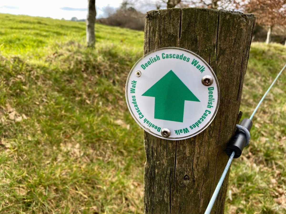
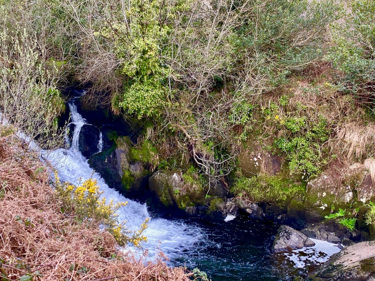
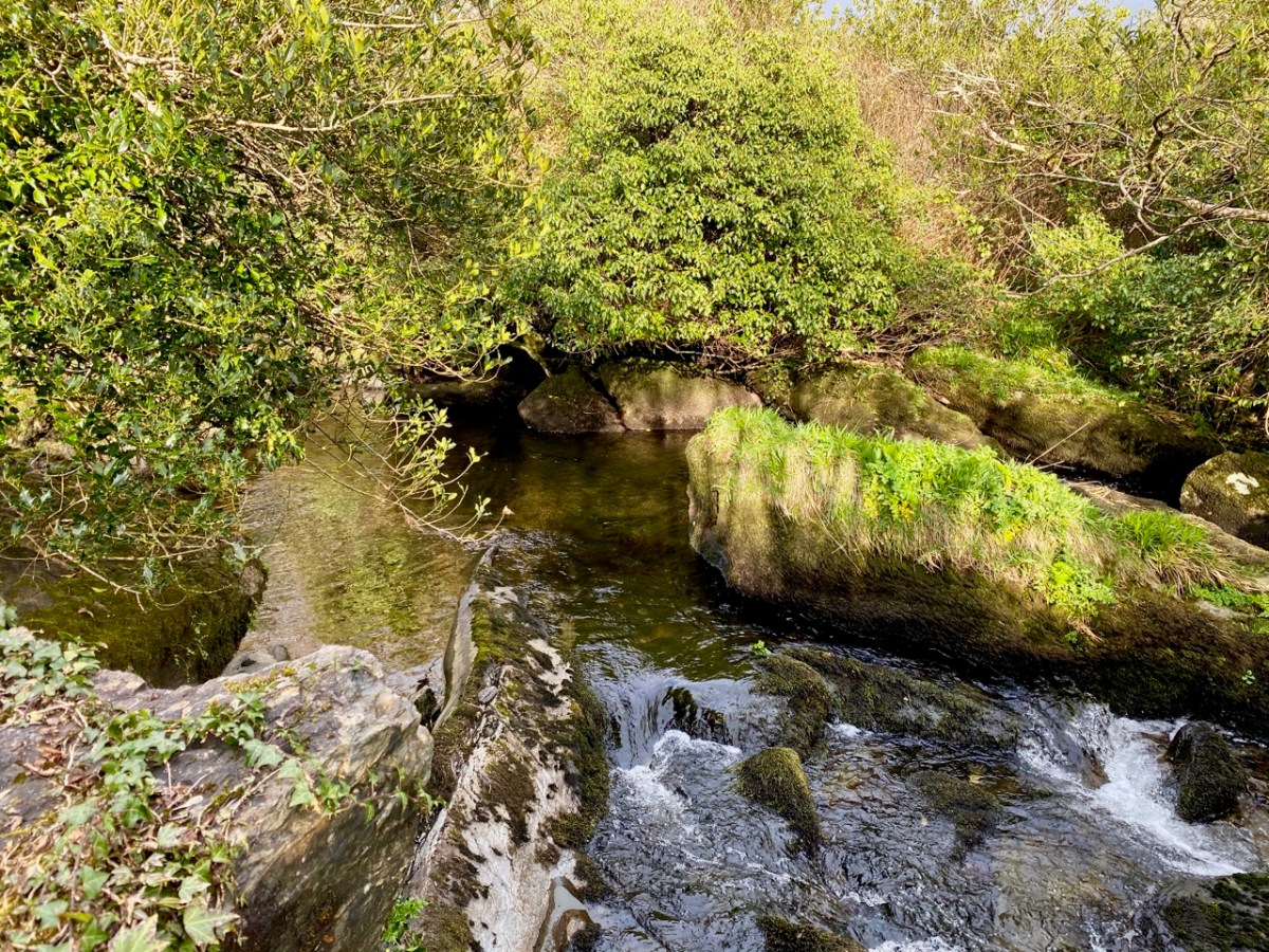
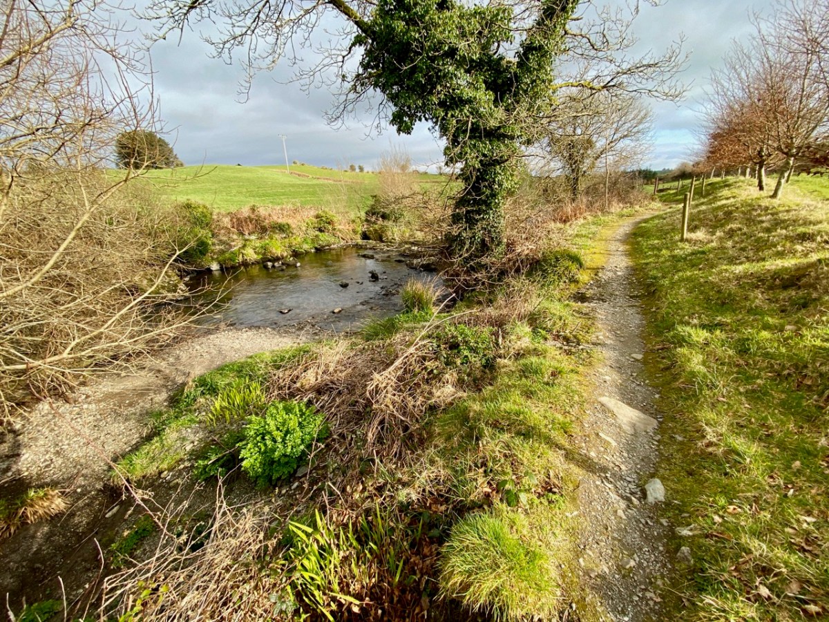
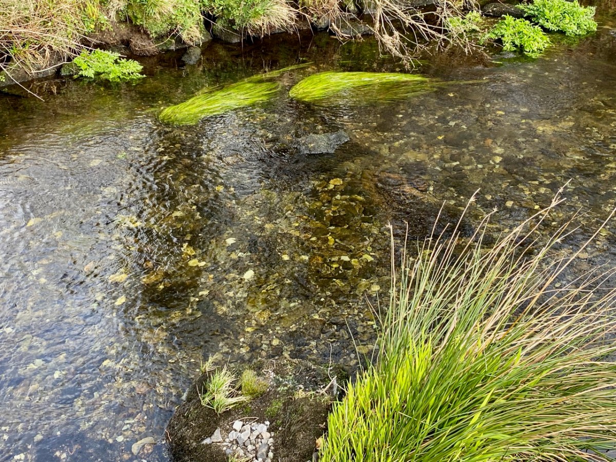
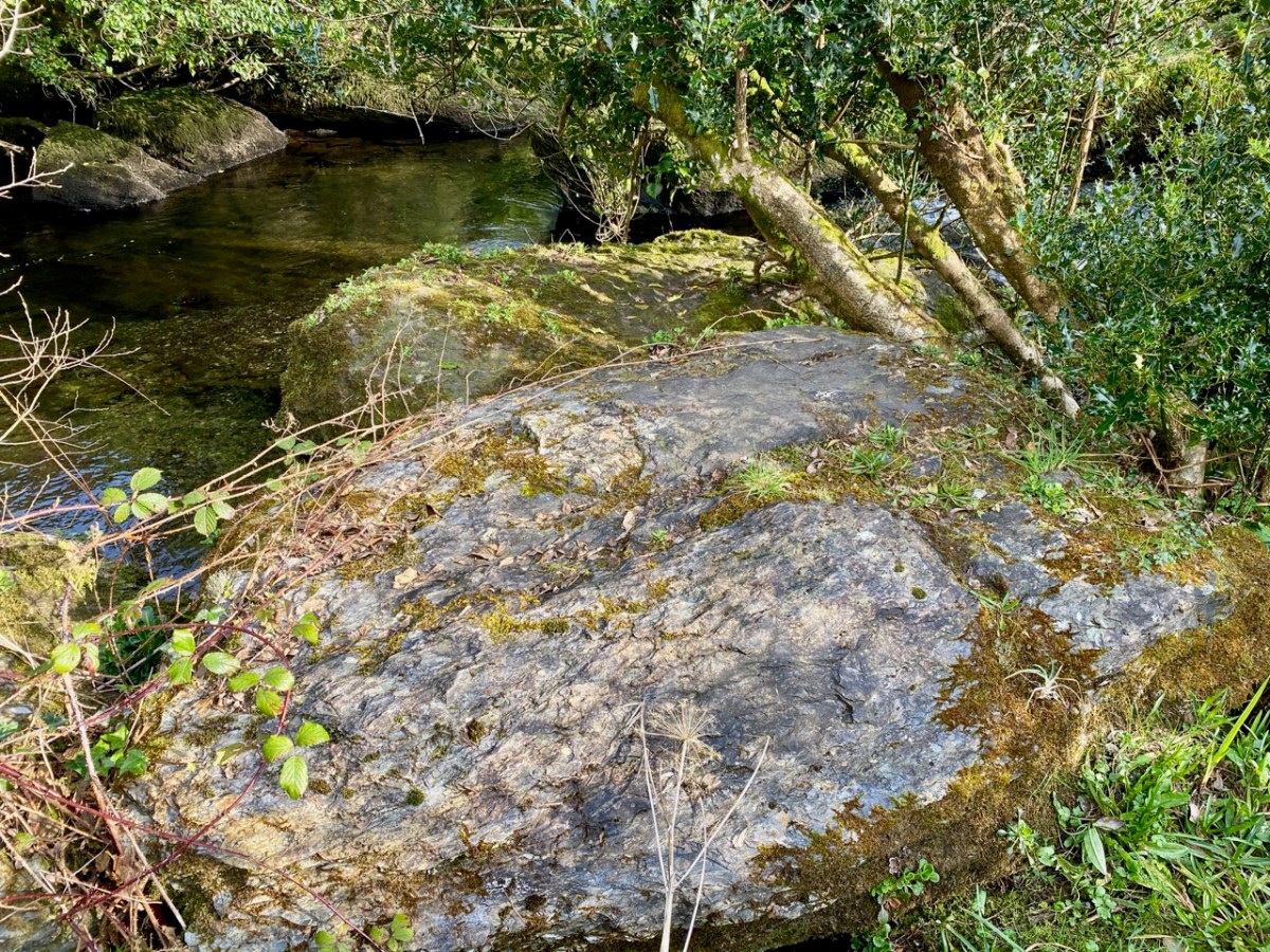
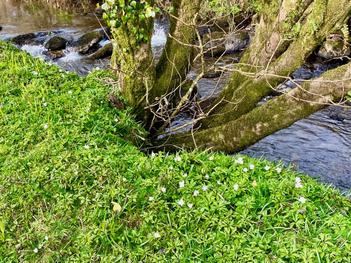
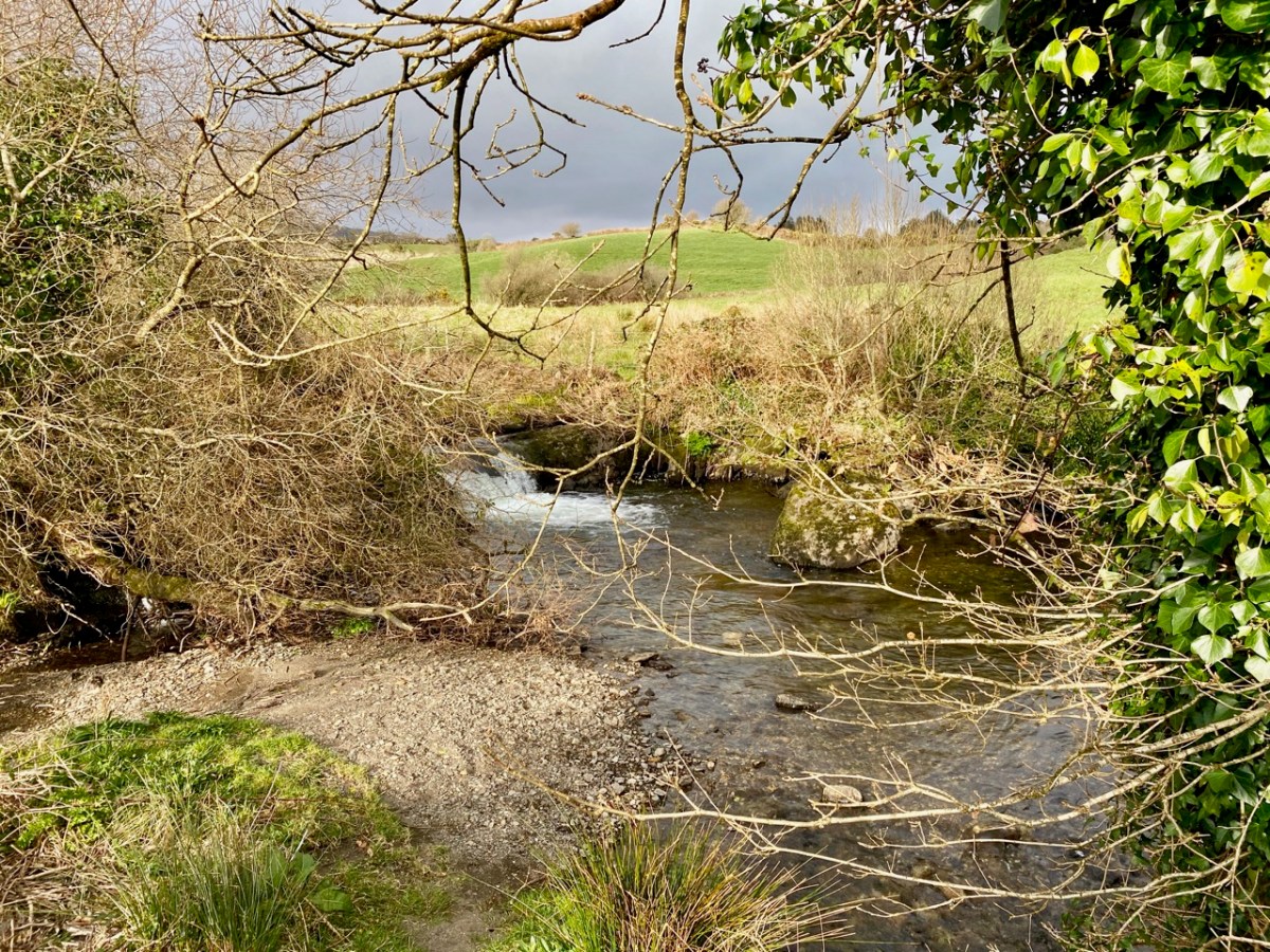
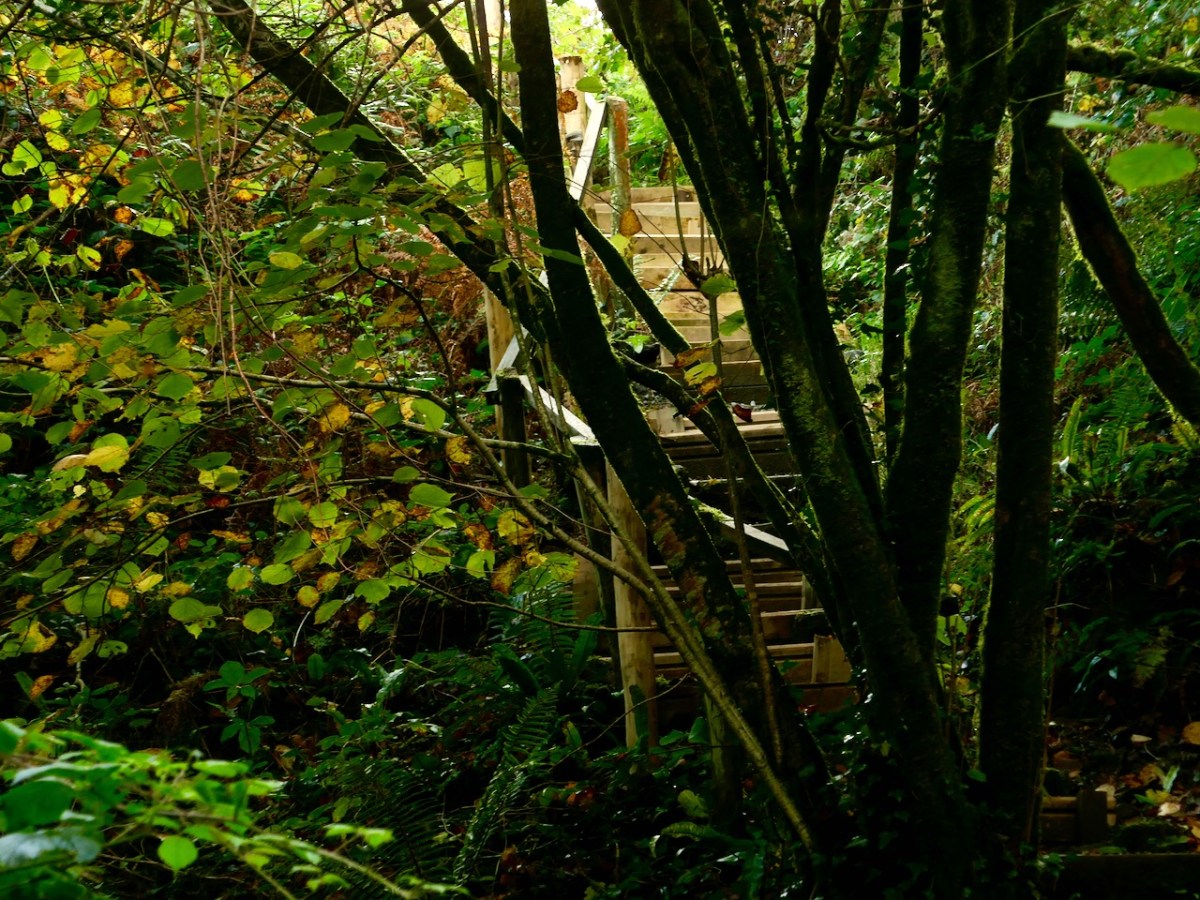
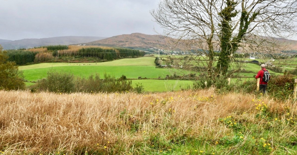
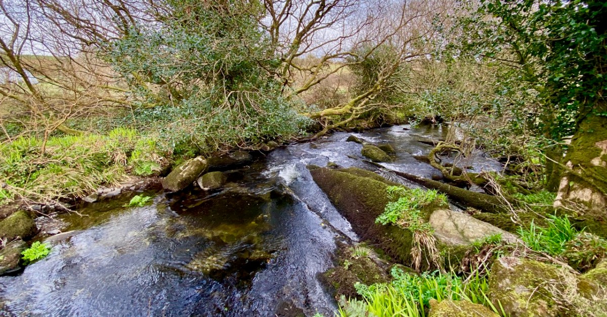
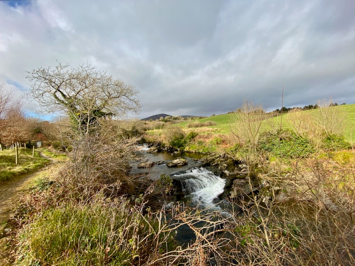
There’s a walk that goes down from Castledonovan to Drimoleague: it follows an ancient mass path and much of it is right alongside the Ilen River. At its northern end there is a section known as the Deelish Cascades: this is geologically fascinating, and gives us some insights into how our West Cork landscape was formed thousands of years ago.
. . . The oldest rocks exposed in West Cork are of Devonian age (410 – 355 million years ago) . . . These mostly red and green sandstones, siltstones and mudstones were deposited on a continental landmass in a low latitude desert or semi-arid environment. The sediments were deposited from rivers, whose flow was dominated by flash-floods fed by episodic rainfall, which originated predominantly from mountainous areas lying to the north which were were formed during the Caledonian Orogeny (mountain building event) in latest Silurian and early Devonian times. The environment was perhaps similar to the present day Arabian desert. This “Old Red Sandstone” continent extended over what is now northwest Europe. In Cork and Kerry these sediments accumulated in a large subsiding trough (the Munster Basin), resulting in one of the thickest sequences of Old Red Sandstone encountered anywhere in the world (at least 6km thick) . . .

Geology of West Cork, M Pracht and A G Sleeman, geological Survey of Ireland 2002

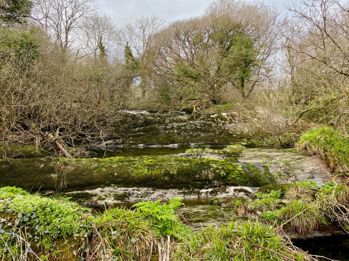
I have marked on this Geology Map the course of the Ilen River from its source on Mullagmesha Mountain to the tidal estuary which begins at Skibbereen. The map shows the ‘grain’ of the various faults which run SW to NE over the terrain: the river generally flows perpendicular to these faults, and the ‘grain’ is clearly seen in the exposed river bed running over the Deelish Cascades.
Praeger usefully simplifies the geological definition of the landscapes (for more on Praeger see Finola’s complementary post today):

. . . The story which geology tells as to how West Cork and Kerry got its present form is interesting, and I shall try to tell it in non-geological language. Towards the close of Carboniferous times – that is, after the familiar grey limestone which covers so much of Ireland and the beds of sandstone and shale which succeeded it were laid down on an ancient sea-bottom, but long before the beginning of the Mesozoic period, when the New Red Sandstone and white Chalk were formed – the crust of the Earth in Ireland and beyond it was subjected to intense lateral squeezing from a north-south direction. This forced it into a series of great east-west folds, thousands of feet high from base to summit – the Carboniferous beds on top, and below them and following their ridges and hollows the massive strata of Devonian time, and other deeper-buried systems. A series of pieces of corrugated iron laid one over the other will illustrate what happened. The folding was developed particularly conspicuously in the Cork-Kerry area. What we see is the result of this ancient crumpling, now greatly modified by the effect of millions of years’ exposure to sun and frost, rain and rivers . . . The more resistant slates, carved into a wilderness of mountains, still tower up, forming long rugged leathery ridges. A sinking of the land has enhanced the effect by allowing the sea to flow far up the troughs. That the ridges were longer is shown by the high craggy islands that lie off the extremities, and continue their direction out into the Atlantic . . .

The Way That I Went, Robert Lloyd Praeger, Methuen & Co London, 1937
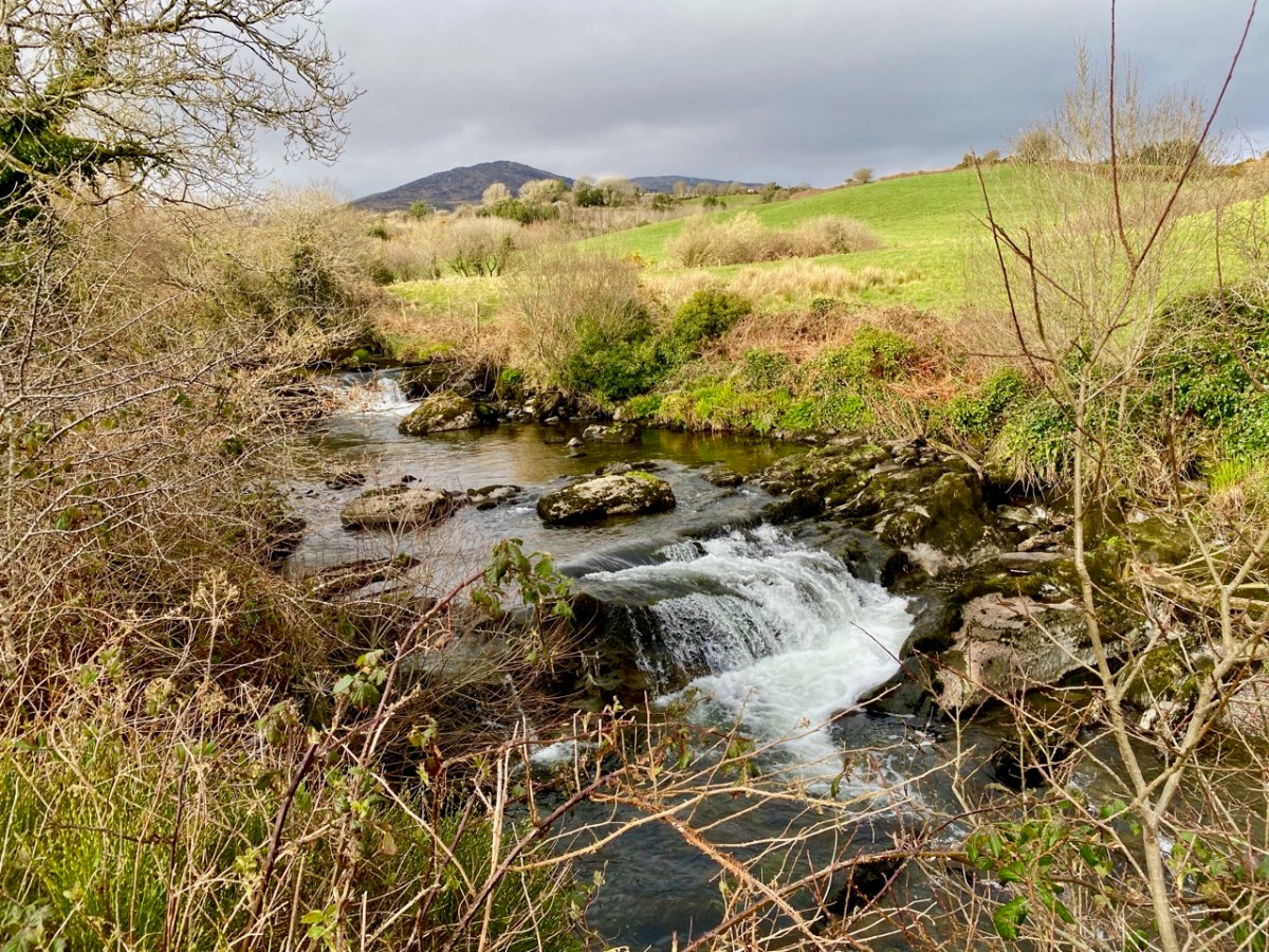
While the upheavals of far-off eras reaching back millions of decades certainly laid the foundations of our landscape, the geological events which actually honed the shaping of the terrain as we see it today are far more recent – the ‘Ice Ages’ which developed only 30,000 years ago and had receded by about 10,000 BC. During that time sea levels fell and then rose again, and the topography and shoreline of the island with which we are familiar today was established. The ice sheets covered most of the land and were up to 1,000 metres thick. As they melted, glaciers fell away from the highest points and carved fissures into the slopes, creating valleys and rivers. One of the most extensive ‘local’ ice-caps was in south-west Munster where a ‘Cork-Kerry’ glaciation, centred on or close to the Kenmare river, developed independent of the general ice sheet. Our own ‘Sweet Ilen’ was a consequence of the ice movement, and the rock formations that we see in the Deelish Cascades are good evidence of these modern geological events.
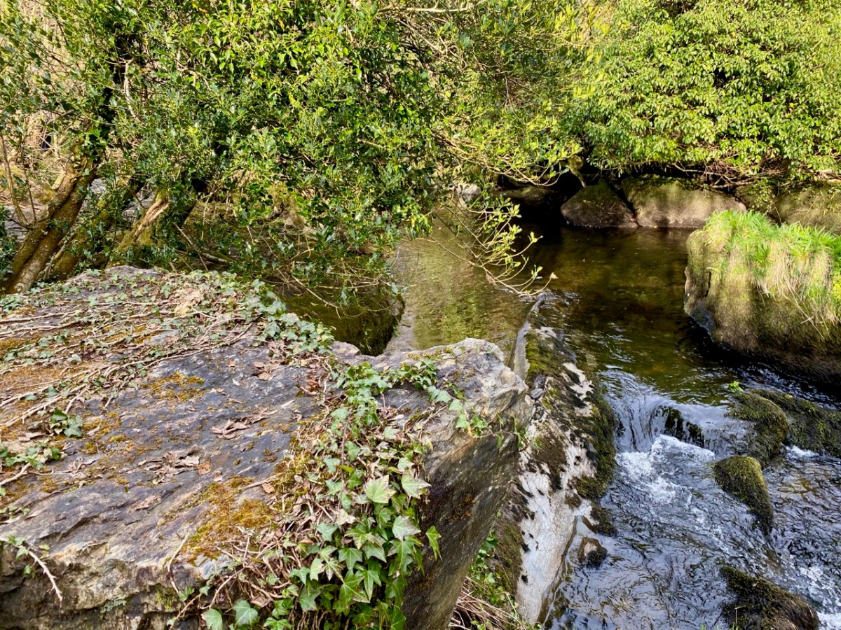
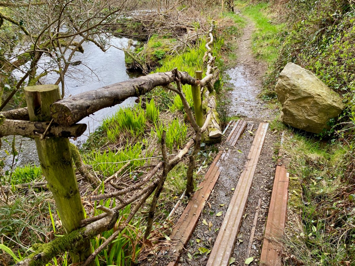
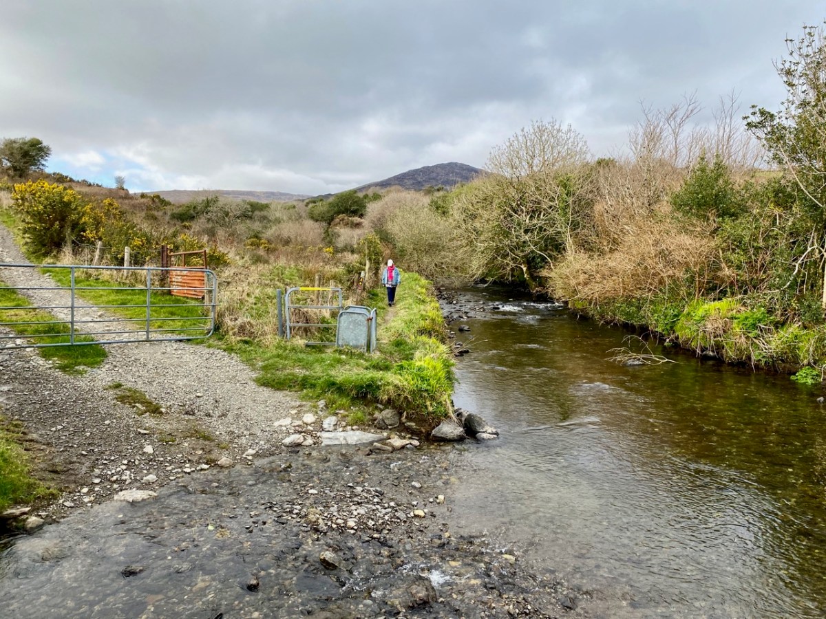
All the way down the Cascades you will see evidence of the scouring of the rocky river bed, and huge ‘erratic’ boulders that have been carried from the mountain-top on the ice flow, to be deposited randomly – and picturesquely – in the torrent. Of course, you don’t have to know about geology to appreciate the walk: you are free to explore the well kept path and delight in this West Cork experience which has been laid out for us all through the mighty efforts of the Drimoleague Heritage Walkways and the Sheep’s Head Way.
Previous episodes in this series: Sweet Ilen : Sweet Ilen – Part 2 : Sweet Ilen – Part 3 : Sweet Ilen – Part 4 : Sweet Ilen – Part 5 : Sweet Ilen – Part 6
Walking West Cork – Top of the Rock

When we could still walk within the boundary of our own county – and in company – we went with our friends Peter and Amanda in the footsteps of a saint! The walk from Drimoleague to the Top of The Rock – and beyond – is one which has been on our ‘to do’ list for a long time, not least because the first person to do it was our own Saint Finnbarr, founder (in 606AD) and patron saint of Cork city. The motto of University College, Cork is Ionad Bairre Sgoil na Mumhan which means ‘Where Finbarr taught let Munster learn’.

Finbarr is also famous for establishing a monastic site at Gougane Barra in the sixth century, and today you can follow St Finnbarr’s Way all the way from the Top of The Rock to that magical lake in the mountains where you can find an oratory and chapel dedicated to the saint: the full walk is 37km. Our own walk was a mere 3.5km but rewarding nevertheless.

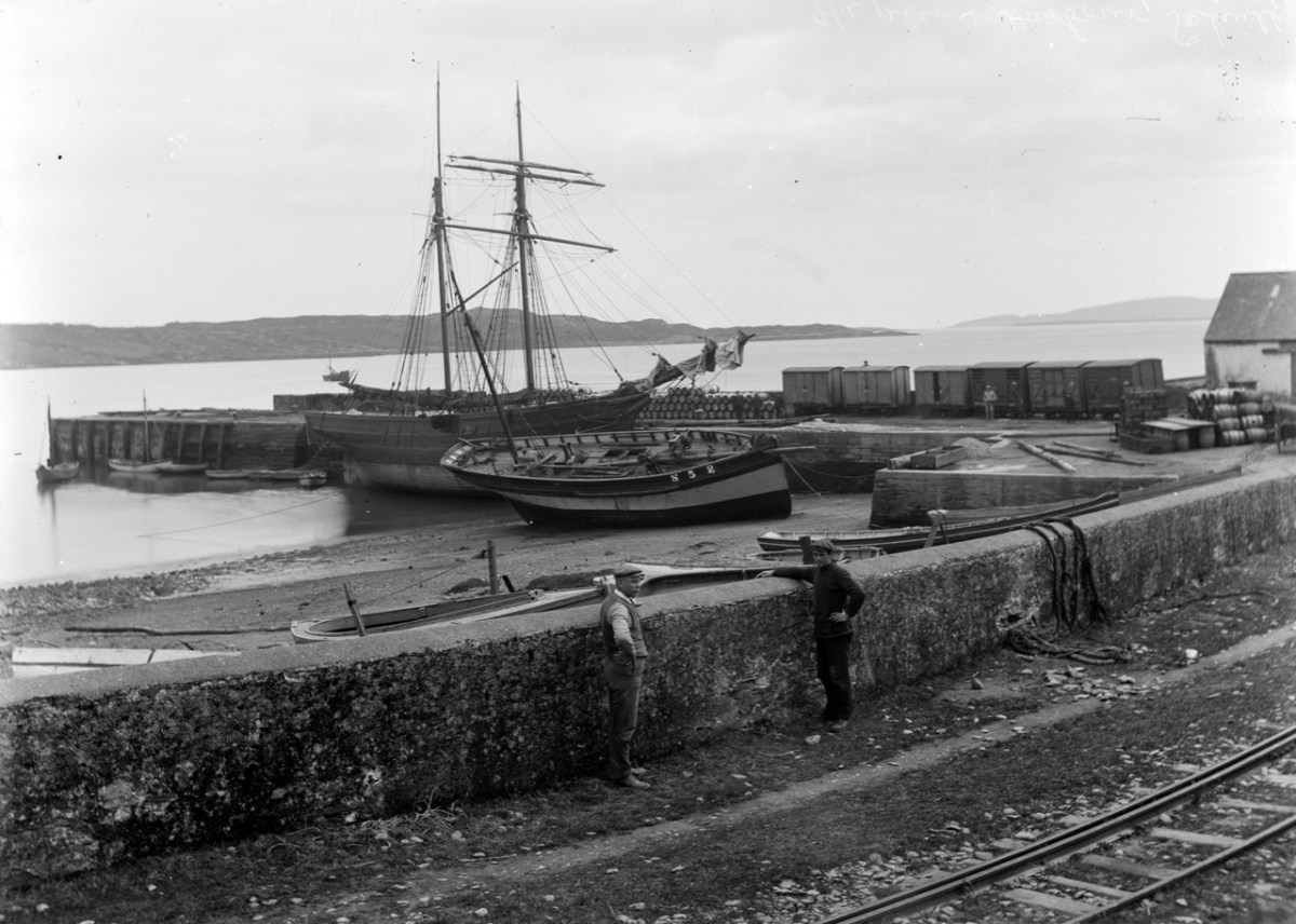
Our walk started at the former Drimoleague railway station. The line opened in 1877, connecting Dunmanway with Skibbereen, and subsequently extension lines went in all directions: to Cork, Bantry, Bandon, Courtmacsherry and – via our own narrow gauge line – from Skibbereen through Ballydehob to Schull. Sadly, all lines coming south west out of Cork have closed, some of the routes surviving until the 1960s. The picture below, dating from 1898, shows the track at Schull Harbour, the most south westerly point on any railway line in Ireland.

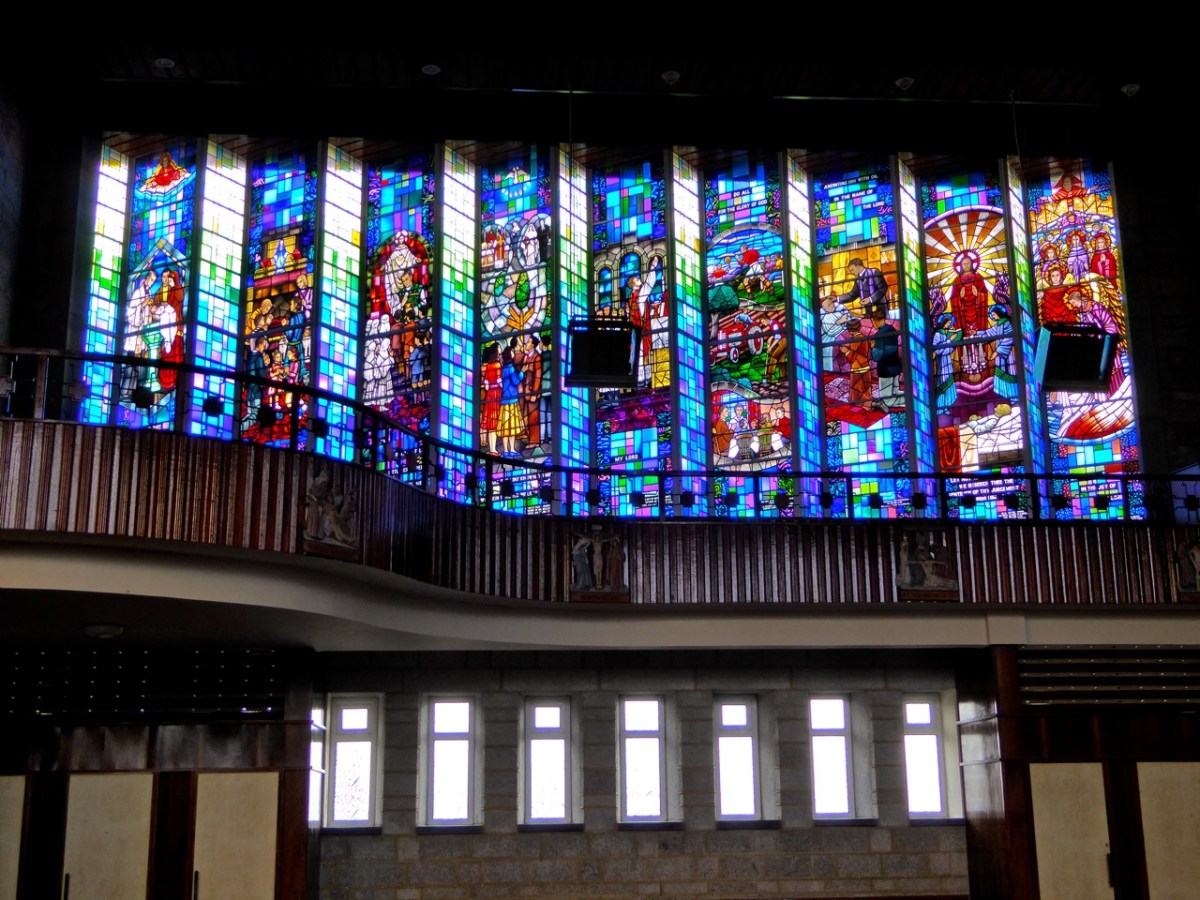
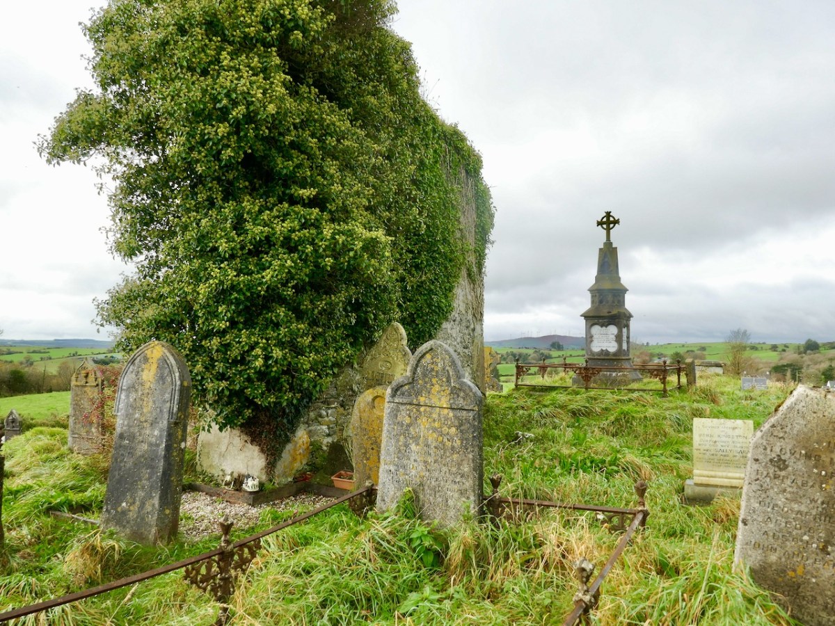
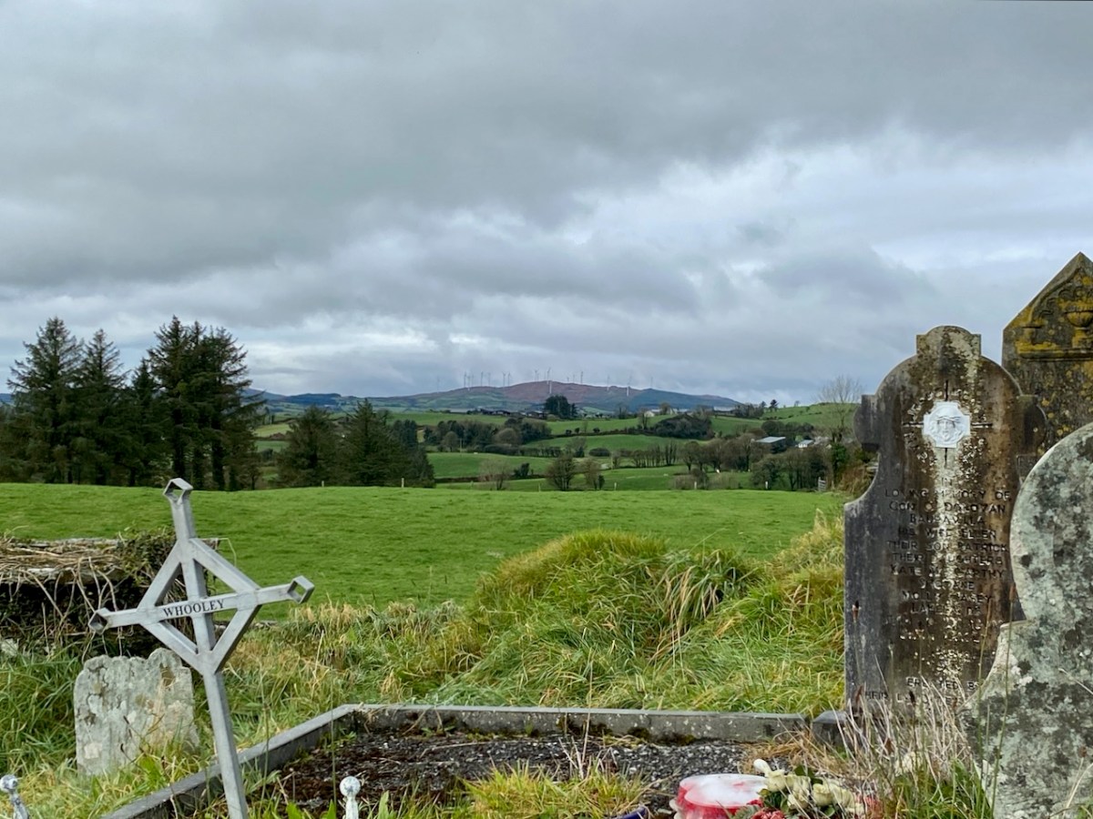
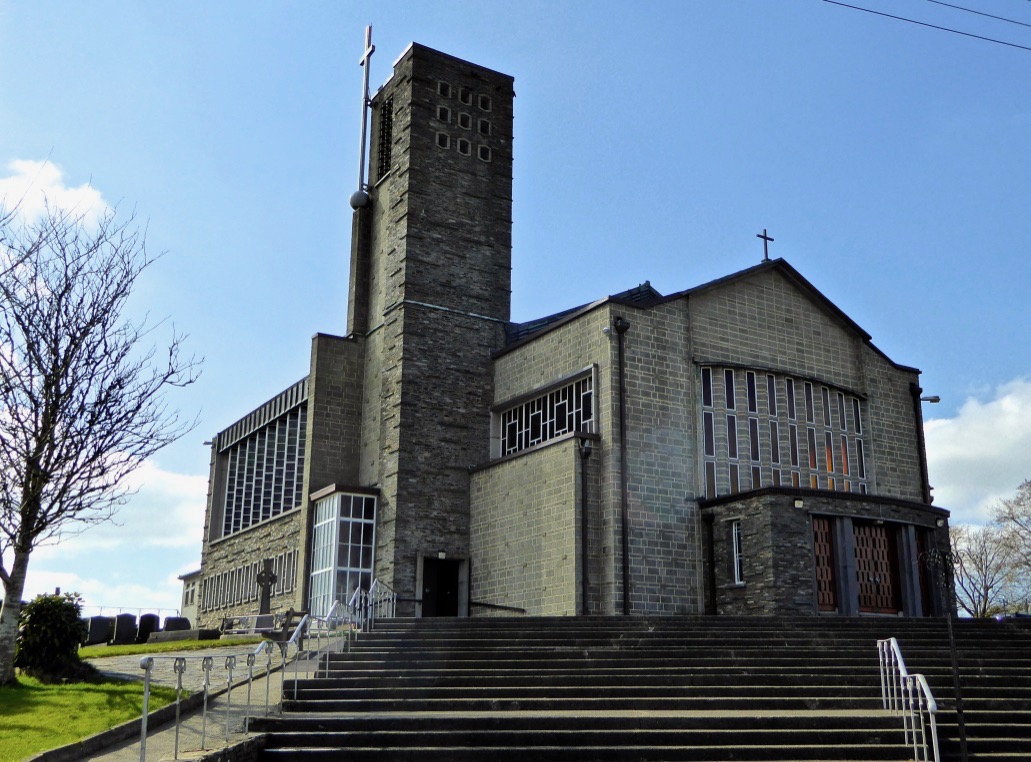
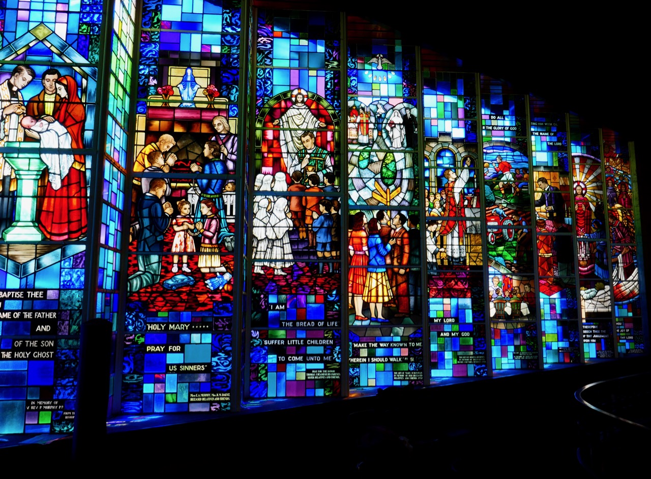
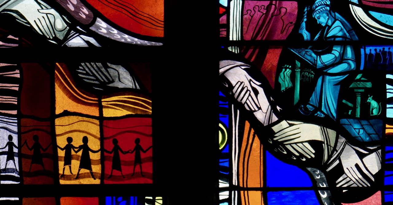
Leaving the old station at Drimoleague the path follows the road going north past the architecturally intriguing All Saint’s church, built in 1956. Finola has written about the building and its unusual stained glass (above) – it’s well worth a look inside. Beyond the modern church is the ruins of an ancient one, surrounded by a burial ground which is full of history (below):

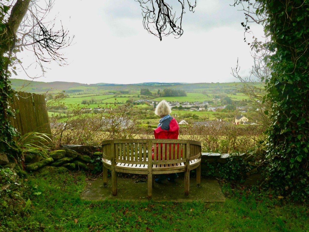
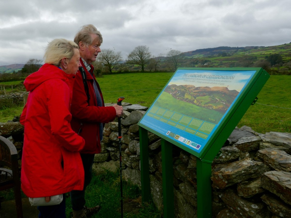
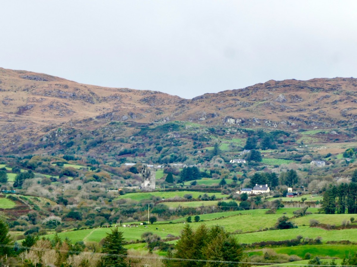
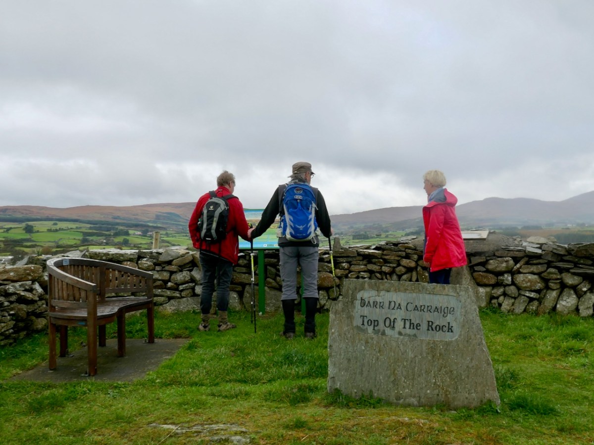
After a steep climb we reached our highest point: Barr na Carraige – which translates literally as Top of the Rock. Evidently the first settlement of Drimoleague was established up here and only moved downhill to be more convenient when the railway arrived. At the ‘Top’ we were fortunate to meet David Ross (below) who owns the farm and ‘Pod Park’ here, and has also masterminded the establishment of these walking routes. Great chat was had, and David suggested our best routes for the day as storms had affected some pathways: work is in hand to restore these. We couldn’t leave the ‘Top’ until we had fully appreciated the long views across to Castle Donovan: our own way then headed downwards and along the Ilen River.

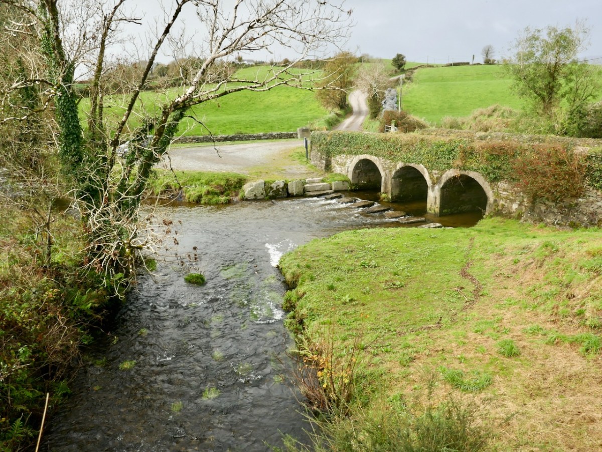
Descending from Top of the Rock we were mainly ‘off-road’ on dedicated footpaths. We first met the Ilen River at Ahanfunsion Bridge, a place which has seen a lot of action historically. The name means ‘Bridge of the Ash Trees’. There was a battle here in ancient times and it is said that the victors planted trees at the ford to commemorate the event. The bridge was built originally in 1830 but was blown up in the War of Independence and subsequently reconstructed. It’s a great spot for a picnic and everyone has a good time crossing the stepping stones, hopefully while keeping their feet dry.

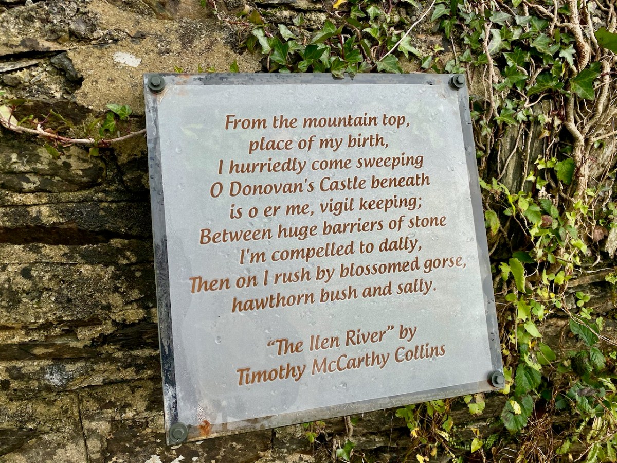
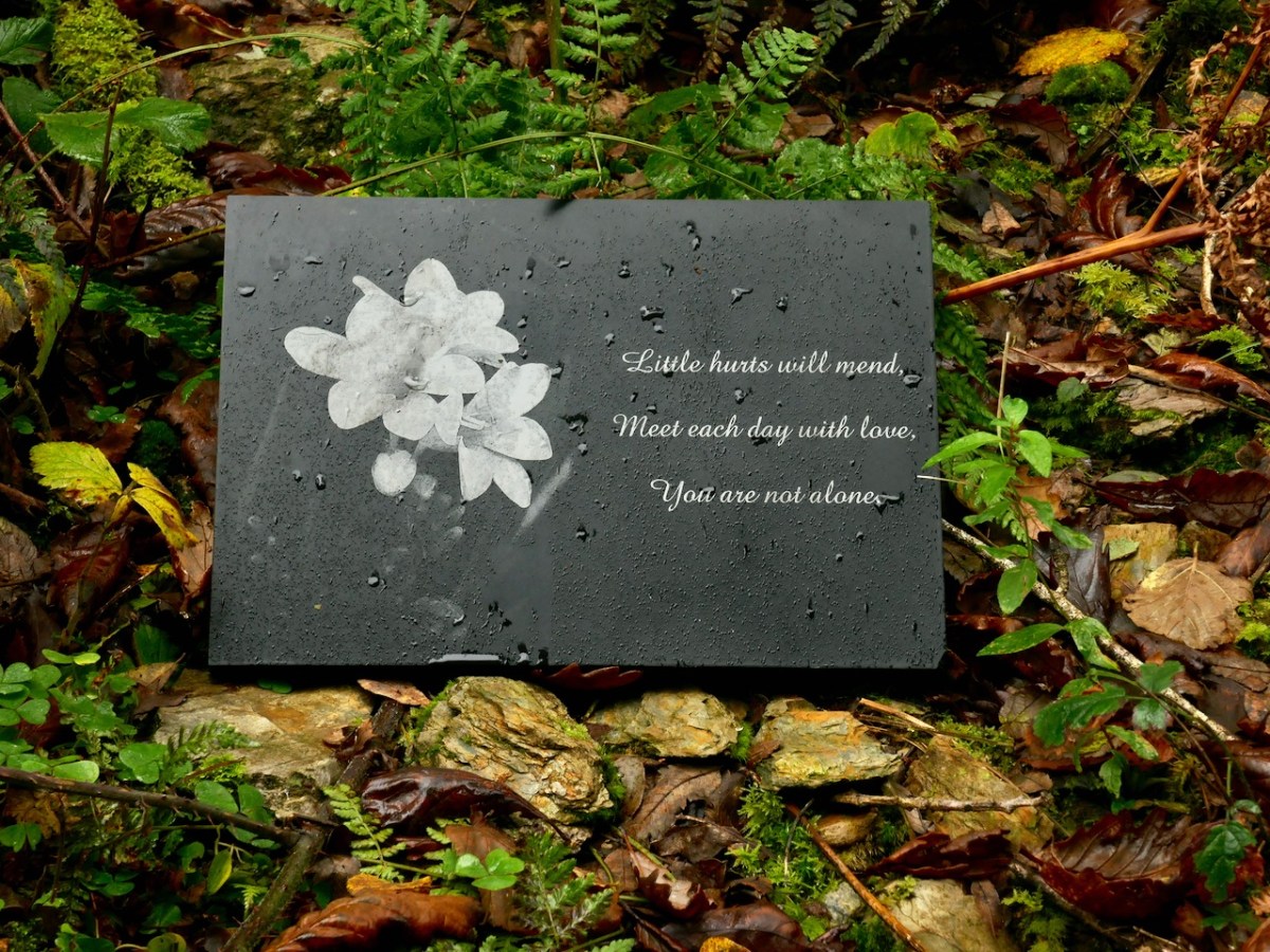
David and his team have worked hard to create and maintain these paths. They have also embellished them with discrete but apposite plaques which include local information and poetry. The work has also involved bridging the river in places to maintain a continuous footpath. We have to commend and appreciate the work they have done and the legacy they are leaving to future generations.

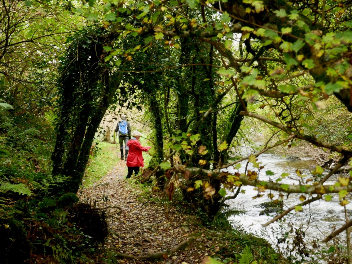
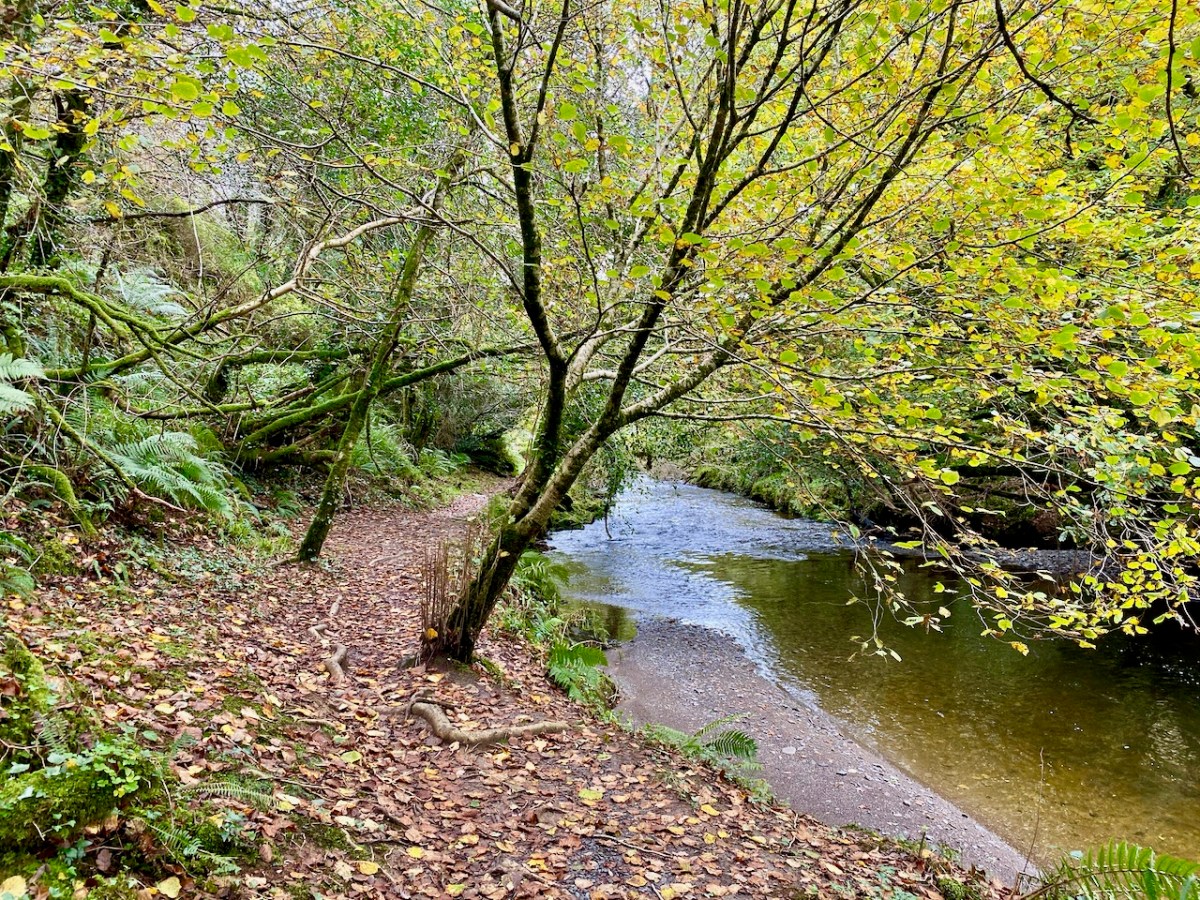
The river walk is truly beautiful, and the wooded valley is quite unusual terrain for West Cork, which is more often high, craggy and dramatic. Wildlife and wildflowers abound, in season. All too soon we came to the boreen which would take us back to our starting point. We are determined to return and follow the network of pathways further when our current restrictions are lifted. We promise we will report back!

The Marvel of Margaret Barry

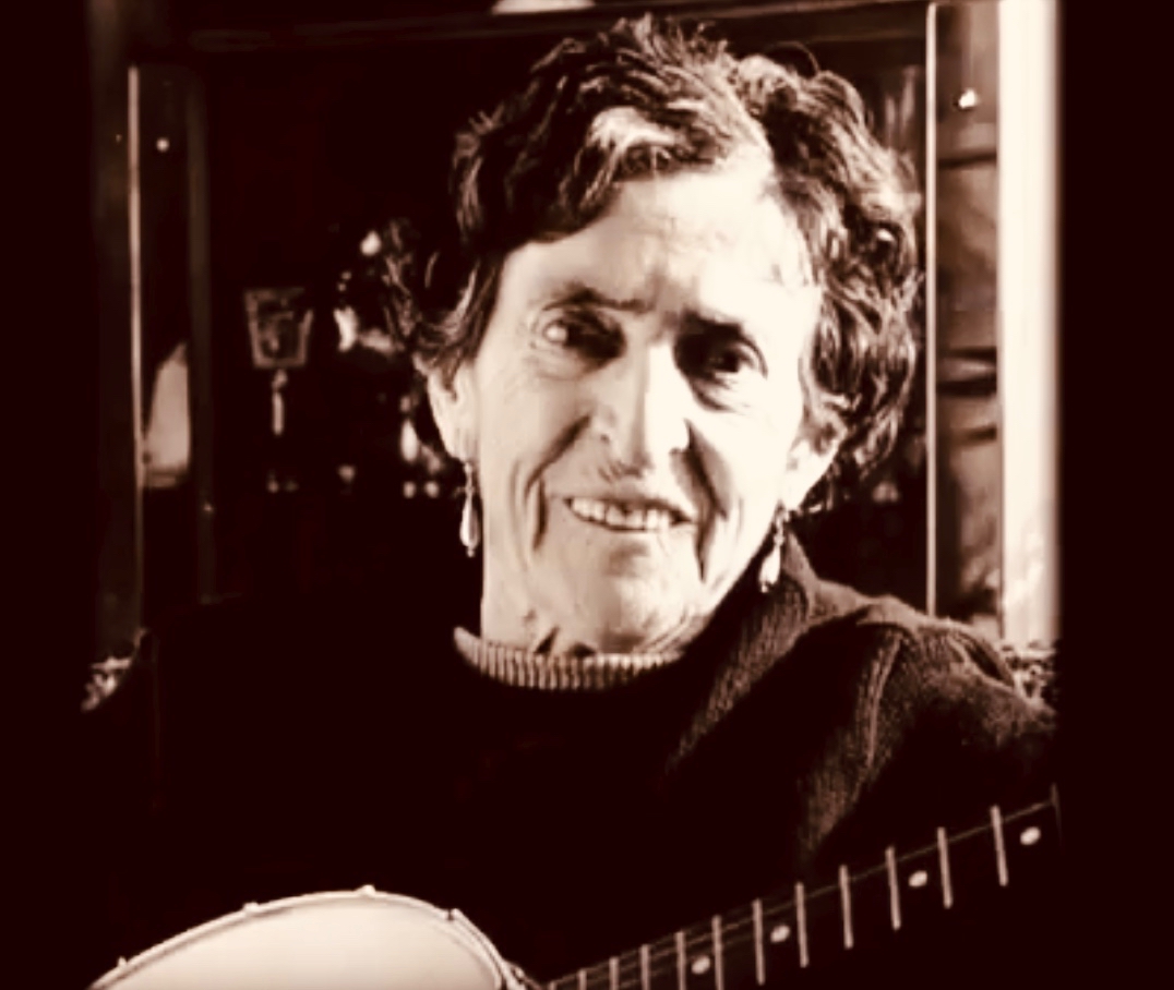
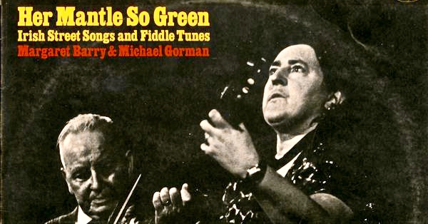
When I was in my college years, I lived on the fringes of London. It was the 1960s and – among many other cultural stirrings – there was a burgeoning Irish traditional music scene, in and around Camden Town. The Irish community in the capital had been thriving since the 1950s, when London was being rebuilt following the Blitzes of the recent war. Although not a close follower of Irish music at that time I had taken up the squeeze-box, and, curious enough to hover at the edges of The Music, was fortunate to briefly encounter many singers and players who are now considered legends. One of these is Margaret Barry, seen above in her later years and, below, when she was first becoming established as an Irish traditional music performer.

If you ever saw (and heard) Margaret Barry, you would never forget her. Her voice is unlike anyone else’s. She was born in the City of Cork, and has the distinctive accent of that place, whether she is speaking or singing. I find it completely compelling, but I can understand that it’s not to everyone’s taste. Nevertheless, whatever your own views, her story is fascinating – and at the same time a valuable social commentary on aspects of twentieth century Ireland. Margaret was born in 1917 – on New Year’s Day – and died in 1989. She made a living from music – and spanned the spectrum from obscure street performer to lauded professional much in demand on radio and television, performing in venues which included London’s Royal Albert and Festival Halls and New York’s Rockefeller Centre.

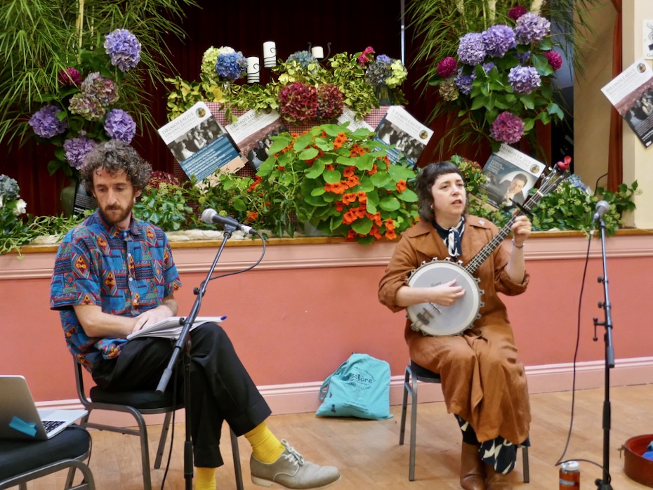
The reason I’m writing about Margaret Barry today is that she was the subject of a talk given at this year’s Drimoleague Singing Festival: “…A celebration of the human voice in the heart of West Cork…”, now an established annual event held around the feast day of Cork’s patron saint, St Finnbarr, September 25th. It’s great that Ireland’s special saints – who ‘kept alive civilisation’ during the otherwise Dark Ages in pre-medieval Europe – are still living and celebrated in traditional culture, which encompasses literature, art, music and folk tradition. Yesterday’s talk, in a crowded hall, was presented by Jason Murphy and Lisa O’Neill (pictured above mid-talk, with Lisa – Singer in Residence at this year’s Festival – giving her own extraordinary rendering of one of Margaret Barry’s songs). It’s worth watching the following YouTube video of Lisa singing a version of ‘The Galway Shawl’ to give you an idea of Margaret’s characteristic style as interpreted by Lisa, and sealing her own authority on the perpetuation of The Music:

Because Margaret Barry is a legend, it’s inevitable that the life and exploits of this lady from Cork have become imbued with folklore. This can happen very quickly in Ireland! Jason – a radio documentary maker – and Lisa – who has studied Margaret’s work – set out to shed light on the reality of her life, times and travels. The talk is work in progress – look out for a comprehensive programme coming up on RTE Radio soon. The talk in no way diminished Margaret Barry’s status and renown in the folk music world, but it did question some of the hitherto accepted accounts of her life. For example, when I first became interested in her singing over fifty years ago, I gleaned (mainly from notes on the sleeves of LPs) that she was from travelling stock, and that’s something you’ll still find quoted in practically every contemporary account of her life. According to Lisa and Jason, however, she came from musical families in Peter Street, Cork. Her mother’s father – Bob Thompson – was an accomplished uilleann pipe maker and player who was married to a Spanish Guitarist and singer. Living through hard times, Bob had to temporarily pawn his own uilleann pipes but lost them when a fire broke out in the pawnshop: he did not play again for ten years! Margaret’s parents and uncles were street singers and musicians, her father earning a precarious living playing the violin in silent-era cinemas and with dance bands. 

Another invariably quoted story is that she left home at 16 with nothing but a bicycle and a banjo tied to her back with string as she set off to busk her way through the harsh streets of Ireland. It’s an engaging picture, but probably simplifies a complex situation. Margaret’s mother died when she was only twelve years old, and soon afterwards her father married a girl not very much older than she was. It’s likely that she did decide to go off and fend for herself – and during her lifetime she did travel around Ireland, sometimes in a horse-drawn caravan, but she had also become interested in the musical traditions she experienced around her and took every opportunity to learn songs from every source, to teach herself to play the fiddle and banjo – and also to use her own talents to earn money wherever she could, and to survive. Here’s her own account of those times, recorded by American musicologist Alan Lomax in the 1950s:

Alan Lomax left a valuable collection of information on ethnic musical cultures from America, Africa and Europe, which he and a dedicated team collected over many years. Much of the collection is available online in the archive of the Association for Cultural Equity. Amongst the publications of the Association is a CD of Margaret Barry singing and talking about her life, which can currently be purchased as a download.

Margaret succeeded in her chosen life of itinerant song performer and always said that she had enjoyed it, regardless of the often hard times. She certainly achieved notoriety and featured in programmes on TG4 and RTE in her lifetime. She had a long-term relationship and musical partnership with the Sligo musician Michael Gorman, whose fiddle playing features on many of the recordings made of her. It seems appropriate to include here this 1965 recording of Margaret accompanied by Michael, singing ‘Still I Love Him’:

The talk we heard in Drimoleague on Saturday was a tour-de-force by Lisa and Jason, reviving my own interest in Margaret Barry, the ‘street singer’ from Cork (also known as ‘Queen of the Gypsies’, a title she was happy enough to embrace, whatever the true circumstances of her ancestry). To finish this post, here’s one of her songs for which she is, perhaps, best known: ‘She Moved Through the Fair’. Margaret was once asked if this tune had come to her from her traveller background: she is said to have replied that she had learned it from a recording of Count John McCormack…

Through the Yellow Gap

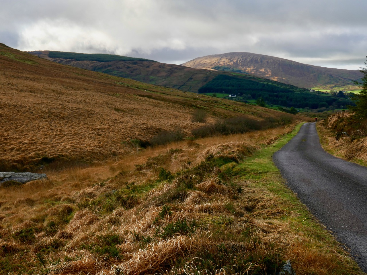
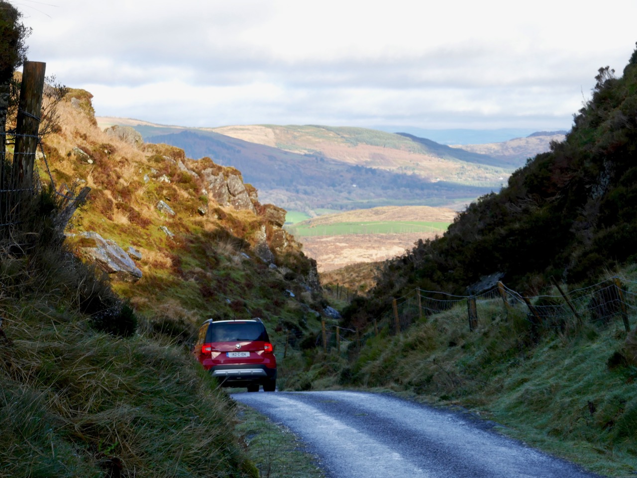
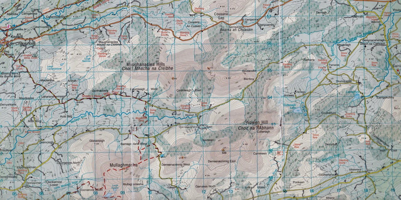
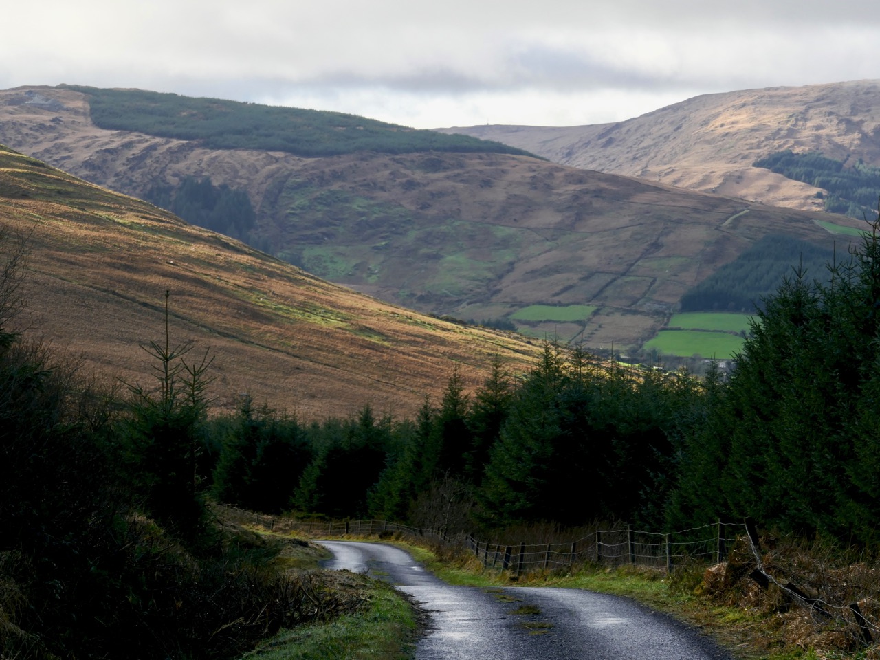
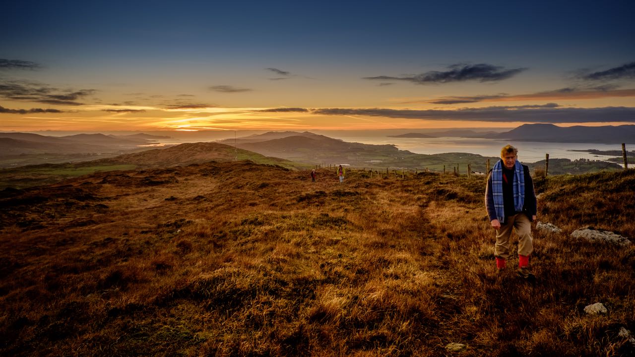
The middle of January: you might expect to be battened down here in West Cork with raging gales or bitter north winds, but Saturday dawned with a clear sky to reveal a most beautiful sun-warmed landscape. We had to be out! We adopted exploring mode and headed for the hills to the north-east of Bantry. OS Map 85 entices with a whole swathe of archaeological sites from megalithic tombs to stone rows and circles, but it was a name that drew us: Barrboy – probably from the original Irish barrabhuidhe – which means ‘yellow summit’. As the highest point of the road in that place (pictured below – about 350m above sea level) is a mountain pass, we have chosen to name our journey Through the Yellow Gap.

The ‘Yellow Gap Road’ runs west to east across the centre of this extract from OS Map 85: we turned on to it from the N71 at Lahadane, just north of Bantry, and dropped back on to the main road to Drimoleague south of Coolkellure

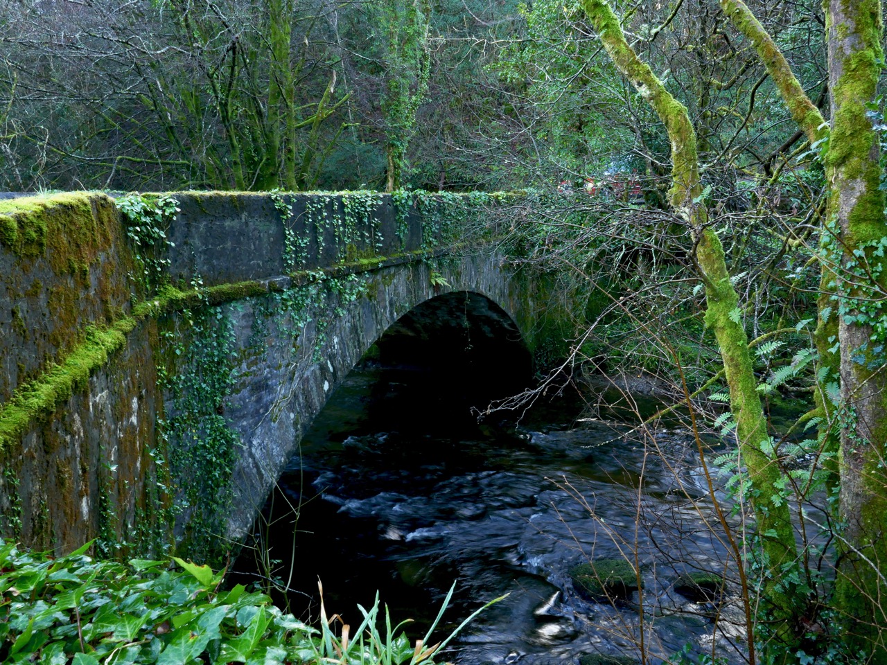
The first part of our route followed the Mealagh river and we were intrigued by the boreens that cross it in places over very fine stone arches: these will have to be explored another time – we were aiming for the hills.

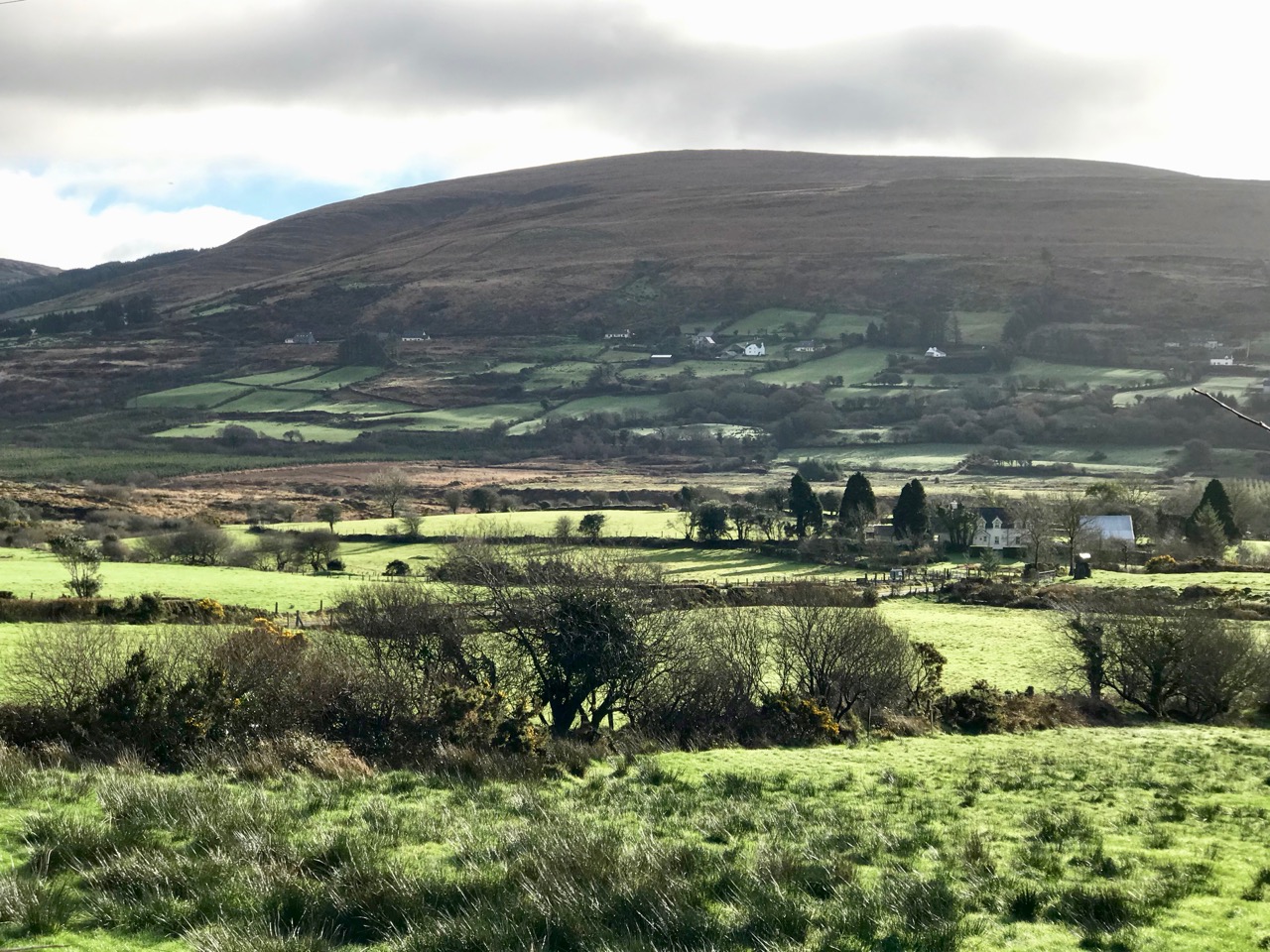
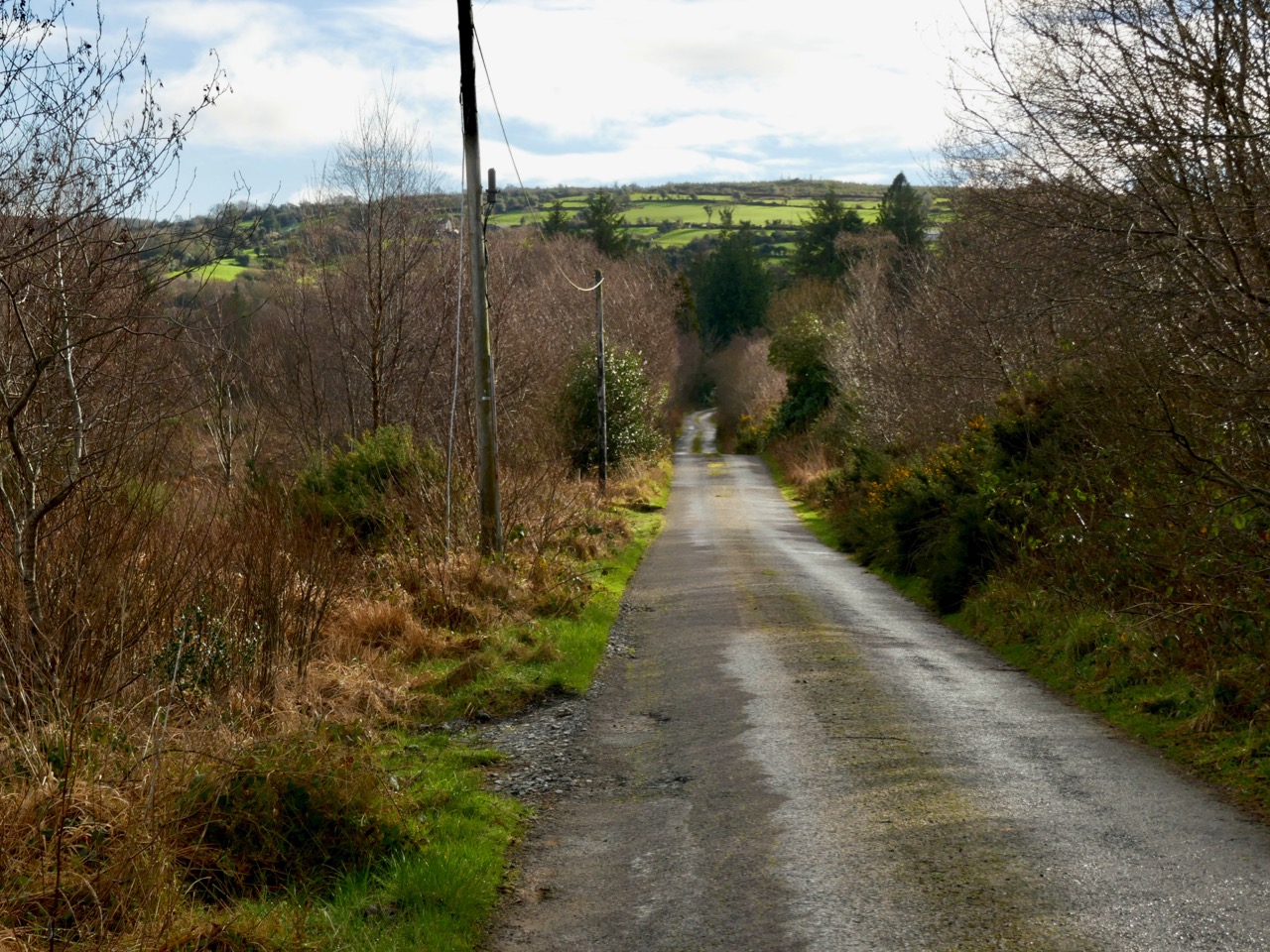
Our day offered us a study of light and landscape, which only the combination of January low sun and shadows can give. If anything the yellowness of the uplands with their rocks, mosses and furze is emphasised by this light: Finola is sure that the colour is due to the fionnán (blonde) grass which is so prevalent during the winter months (header picture). We felt we were in a very remote place, known only to those who spend their lives there, but we were in fact barely a hop and a skip from our own home.

Studies in light and landscape: with a different vista at every turn we were treated to outstanding views typical of rural Ireland

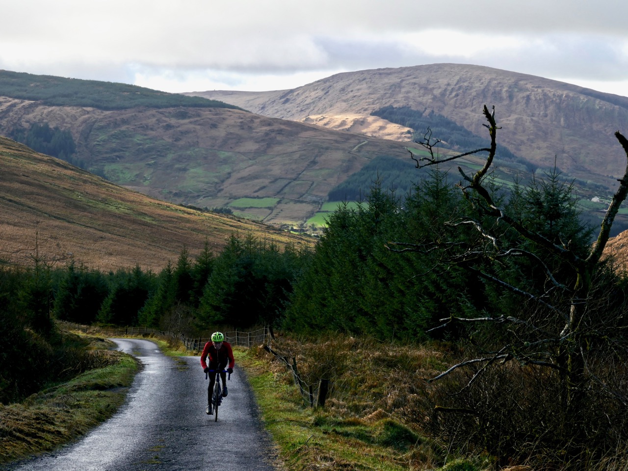
As is so often the case with our off-the-beaten-track excursions, we saw hardly anyone in the whole day, but we did chance to bump into our cycling friend Tim who is in training for yet another Everesting event. The rules are straightforward:

. . . The concept of Everesting is fiendishly simple. Pick any hill, anywhere in the world and ride repeats of it in a single activity until you climb 8,848m – the equivalent height of Mt Everest. Complete the challenge, and you’ll find your name in the Hall of Fame, alongside the best climbers in the world . . .

Tim on his way up the Yellow Gap Road (also known as Nowen Hill). He has to do this climb 56 times in one go to achieve the ‘Everest’. In fact, his aim is to do a ‘Double Everest’ on this hill! This will be his third Everesting event in West Cork… Good luck, Tim

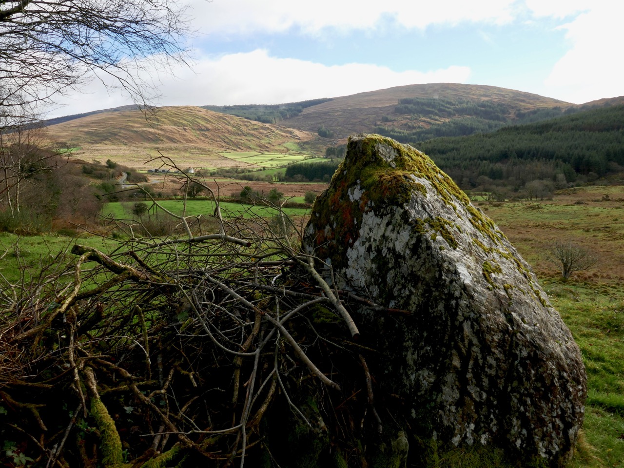
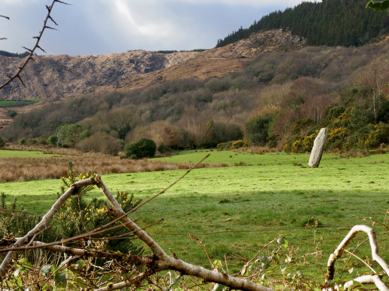
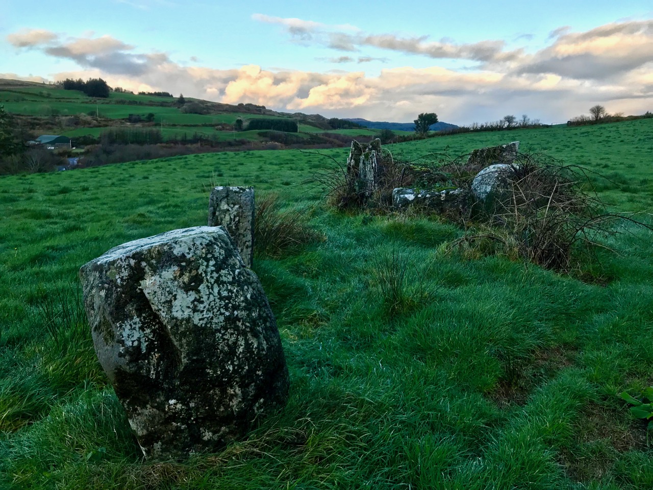
Our travels took us through some very attractive ‘deep’ countryside dotted with cottages and small settlements. Humans have been here for a very long time and have left evidence of their occupation in enigmatic standing stones, alignments, circles and tombs. Some can be seen from the roadside, but many involve explorations across fields or into forests. Always, we are left wanting to know who these early settlers were and why they left us these monuments.

Upper pictures – single standing stones which can be seen from the roadside; lower picture – a five-stone circle and a two-stone alignment on high pasture land: all are ancient and mysterious

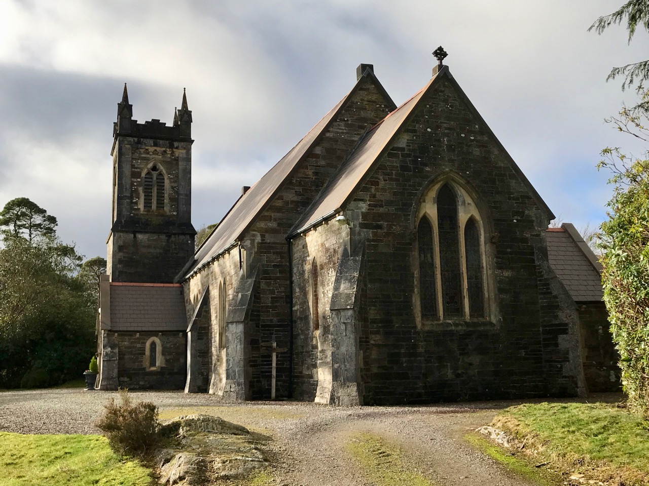
As the road threaded its way through the gap and began to descend we seemed to re-enter a less wild landscape, and habitations became more frequent. Eventually we found ourselves in a small community – Coolkelure – with a great sense of history. there was a fine C of I church, a school which had been in use until the 1950s, and an avenue leading to a large house which has had a chequered history, There is an entry in Duchas (the Schools Folklore Collection) about this village:

. . . Coolkelure is situated about four miles and a half west of Dunmanway. There is a holy well at the side of the road but it is covered in now with briars and bushes. Its origin is unknown. There are three steps going into it and there are medals, pieces of cloth and pennies up on a stone over the well. About twenty feet in from it there are rocks nearly a thousand feet high. It is said that a giant lived there in olden times. On the other side of the road is a marsh and the giant is supposed to be buried there. There is a huge stone over his grave. Further on is Coolkelure House. This formerly belonged to Shouldhams, now it is the property of Lady Bandon. The avenue looks beautiful in summer and it is hedged with rhododendrons of every hue . . . (Joan Collins, aged 12 years, from Patrick Collins, aged 60 years – c1934)

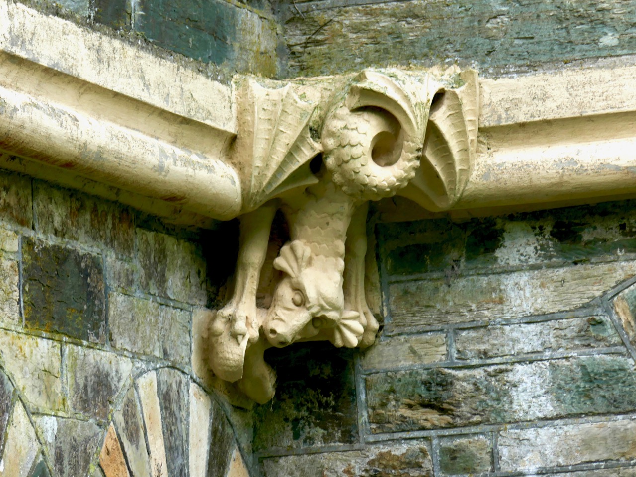
Upper – Coollkelure Church; centre – the Lodge at the gateway to Coolkelure House; lower – one of many fine gargoyles on the eccentric Lodge

Well, we didn’t see the holy well, the thousand feet high cliff, the giant or his grave. But we did see rhododendrons – large thickets of them – all the way along many of the roads we travelled. They must look very striking when in bloom in the springtime, but they are an invasive species which threatens the true natural hedgerows. In Coolkelure, also, occurred one of the highlights of our day. We met and got into conversation with Donal and Caitriona – a most hospitable couple who own a small house overlooking the lake. They invited us in, we were given coffee and cakes, and the chat was mighty!

Upper – looking back at our way through the mountains; centre – an example of the many stands of invasive rhododendrons that we encountered and lower – the road becomes tamer as we approach a pastured landscape

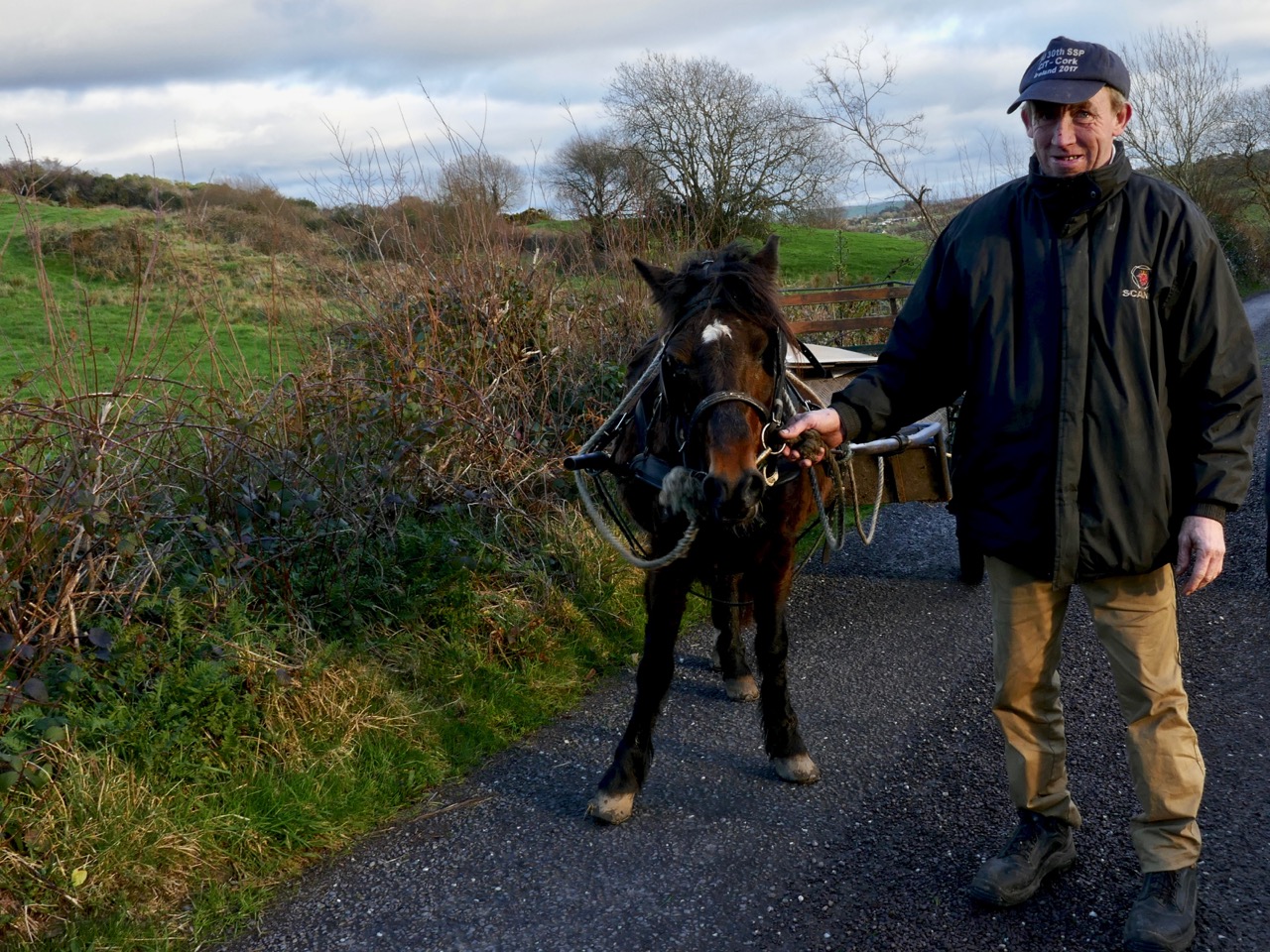
We left Coolkelure and headed out of the hills, feeling fulfilled by all the events of the day. Our adventures were not quite over, however, as we encountered Daisy and her owner with their ‘road-car’, delighted that we stopped to photograph them (below). In fact, between us we took at least two hundred photographs on our day out and can only include a modest selection on these pages.

West Cork Obscura – Finola’s Picks

The popular Atlas Obscura defines itself as the definitive guide to off-the-beaten-track and little known wondrous places. So we’ve captured that idea and, as our Christmas present to our readers, bring you our own carefully-curated, slightly eccentric, Roaringwater Journal Guide to West Cork’s Hidden Wonders. Robert’s selection is here. No well-know tourist spots for these posts! No car parks and visitor centres! You may need wellies for some, a good map for others, and, although all are accessible, some may require permission.Each place I recommend will link to a blog post with more information. As an example, Sailor’s Hill, just outside Schull (above) is an easy walk and look what you get at the top! 

This is the view from Brow Head, looking back towards Crookhaven, and Mount Gabriel in the distance. Brow Head is much less visited than Mizen Head, but just as spectacular

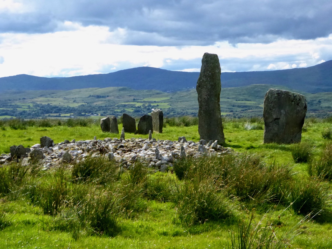
I’m going to start with some archaeology and a couple of spectacular sites. The first is the Kealkill Stone Circle – but this isn’t just a stone circle, it’s a complex of monuments that includes a five-stone circle, a radial cairn (very rare in this part of the world) and two enormous standing stones. The views are immense in every direction, and the site is easy to find.

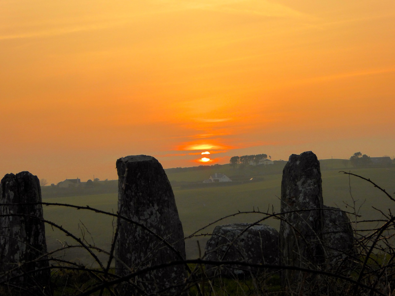
We all know about Drombeg – and we love it when the sun goes down at the midwinter solstice, and even when it doesn’t. But fewer people know about another stone circle, equally spectacular, with a spring equinox orientation. It’s called Bohonagh and it’s quite a complex. First of all, there’s a boulder burial, with quartz support stones and cupmarks on the boulder. Then there’s a cupmarked stone, partly hidden in the brambles between the boulder burial and the stone circle. Finally, there’s the circle itself, almost complete, with views in all directions.

Equinox sunset at Bohonagh

We were lucky to have a session there one equinox, and another one with Ken Williams of Shadows and Stone. For access, park just off the main road, across from the salmon coloured house 4.5km east of Rosscarbery and walk up the farm road to the barns and from there to the top of the hill. This is a working farm – please close all gates and be respectful of animals!

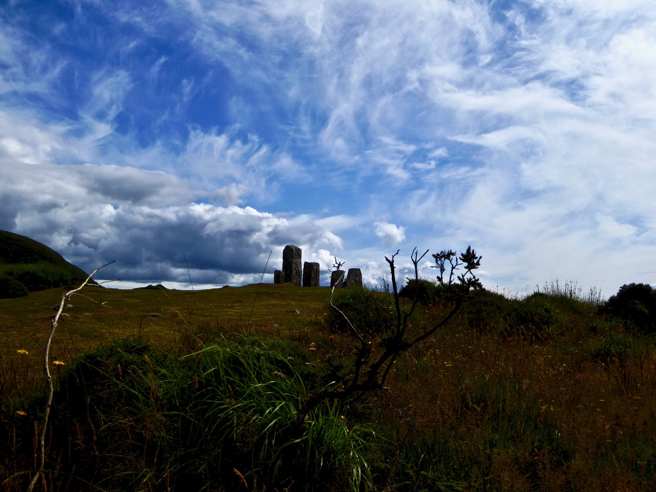
Maughnasilly Stone Row broods on the hilltop

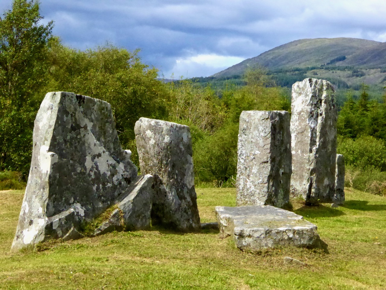
A stone row to round out the archaeology sites – this one is at Maughnasilly and I chose it because it’s been excavated, so there’s an informative sign, access is easy and it’s a beautiful, atmospheric site, overlooking a small lake. The row has been calculated to have both lunar and solar alignments.

And from the ground…

A couple of churches now, beginning with the Church of Ireland Church of the Ascension in Timoleague. This is one of those places that is dripping with unexpected stories. As soon as you go through the door your jaw will drop – the whole church, floor to ceiling, is covered in mosaic, partly paid for by an Indian Maharajah. Read the story here and here – and look carefully at the stained glass windows, some of them are among the oldest stained glass we have in Ireland. The key used to be at the grocery store on the main street, but I’m not sure where it is now, so you may have to ask around. Let us know if you find out.

The interior of the church, and one of the beautiful Clayton and Bell windows

You may wonder at my next choice – it’s not everyone’s cup of tea – but the modernist church in Drimoleague is the work of Frank Murphy, the architect hailed as Cork’s ‘Unsung Hero of Modernism’.

I love the spare minimalist space, very rare in West Cork, but it’s the stained glass windows that drew my attention. It’s not that they are particularly beautiful or skilfully done: they’re by the Harry Clarke Studios long after Harry himself had died. It’s that they fascinate me as a social document – they are, in fact, a prescription for how to live your life as an Irish Catholic in the 1950s. As such, they will resonate with anyone of my vintage. Research by the brilliant young scholar, Richard Butler, has revealed that the design was practically dictated by Archbishop Lucey, still a name to invoke an image of the all-powerful churchman of the 20th century.

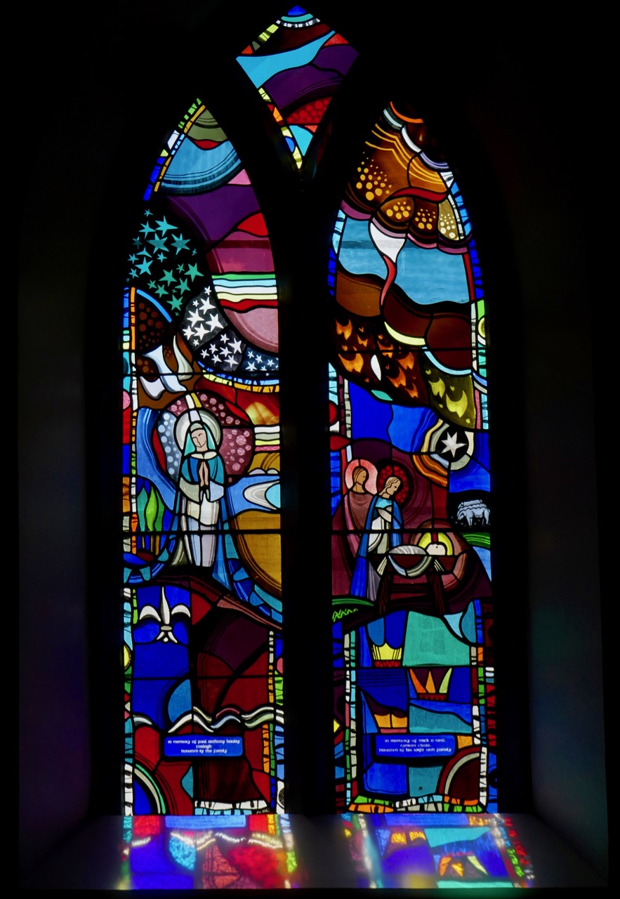
And a final church, but this one strictly for the windows. (No – not St Barrahanes in Castletownsend for the Harry Clarkes – everyone knows about them already, and this is a selection of lesser-known wonders.) Do NOT go through Eyeries, on the Beara Peninsula, without stepping into the little church of St Kentigern. Here is where we were first introduced to the work of the stained glass artist, George Walsh.

The Annunciation and Nativity window

When Robert wrote his original post, we couldn’t find out much information on George Walsh, but now he has become a friend and I have written about his work for the next issue of the Irish Arts Review (due out in March, 2019) and spent many happy hours photographing his windows and his artwork around Ireland. It’s bold, graphic, modern and incredibly colourful, and the windows in Eyeries, along with the religious themes, tell the story of Ireland and the Beara through time.

Some places to visit now for a good walk or a swim. First, one of my favourite walks is to hike up to Brow Head, at the end of the Mizen Peninsula (you can drive up too, but pray you don’t meet a tractor coming down) and then walk out to the end of the Head (see the second photo on the post for the view from the top of the road). Stop first to explore the ruins of the old Marconi Station – there’s also a Napoleonic-era  signal station and a WW2 Lookout Post. Then wander through the heather and the low-growing gorse until you get to the part where the sea is crashing below, with vertiginous drops off either side. I will leave it to you how far you go from there!

Brow Head showing the signal station and Marconi station silhouetted against the evening sky

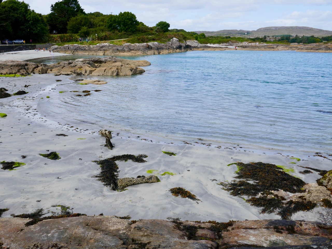
Although Barley Cove is well known, Mizen locals love Ballyrisode Beach for a swim or a lounge in the sun. White sand, sheltered bays, and water warmed by running over the shallow bay. The final little beach holds a secret – a Bronze Age Fulacht Fia or Water-Boiling Site, that Robert and I recorded for National Monuments this summer. It was an exciting find, hiding in plain sight. The beach has an association with pirates too!

Ballyrisode Beach – yes, the water really is this colour. The three sided rectangular stone thing is the fulacht fia

The final choice for a walk is Queen Maev’s tomb, a short hike up from Vaughan’s Pass car park, up behind Bantry. For this photograph I am indebted to Peter Clarke, of the wonderful Hikelines blog. He and Amanda (with whom we have explored SO many holy wells)  were our companions that day. When you reach the top there is a small wedge-tomb, but this is one place where the journey is the real story, with the Mizen, the Sheep’s Head and the Beara all spread out before you.

Photograph © Peter Clarke

I leave you with a detail from the George Walsh windows in Eyeries, together with the poem the scene is based on, Pangur Bán, written in the 9th century by an Irish  monk labouring away in a scriptorium in Europe. Here is the poem read, at a memorial service for Seamus Heaney, first in the original Old Irish and then in Heaney’s translation.

Merry Christmas from us! If you live here, get out and about this year to some of our picks, and if you don’t, come see us soon!

Thaddeus McCarthy: The Bishop Who Never Was

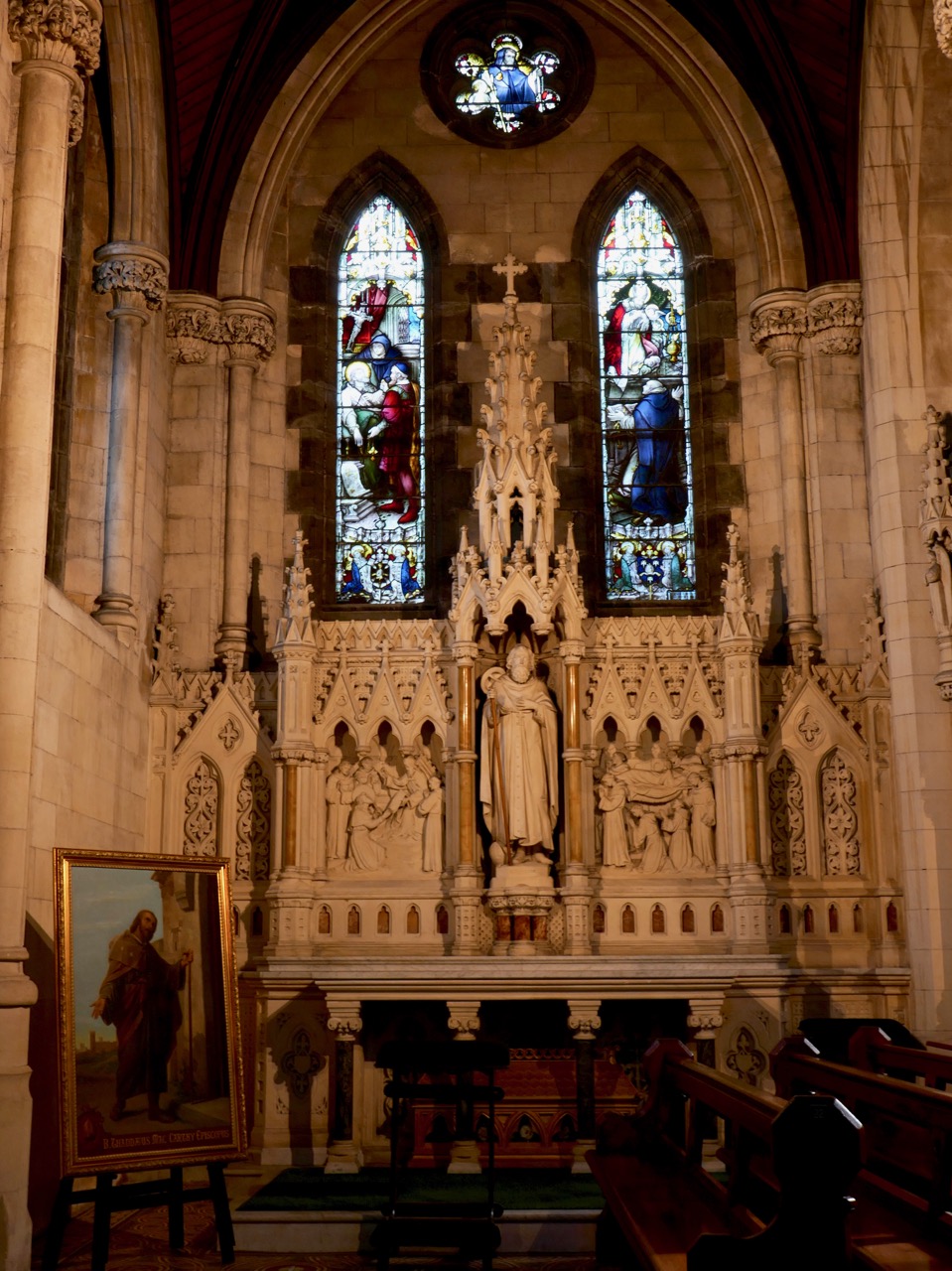
This is the story of a man from West Cork who was appointed a bishop not once but twice, by two different popes, but prevented from assuming his duties by warring clan factions; a man now venerated in two countries.

Thaddeus in his dedicated chapel in St Colmán’s Cathedral in Cobh

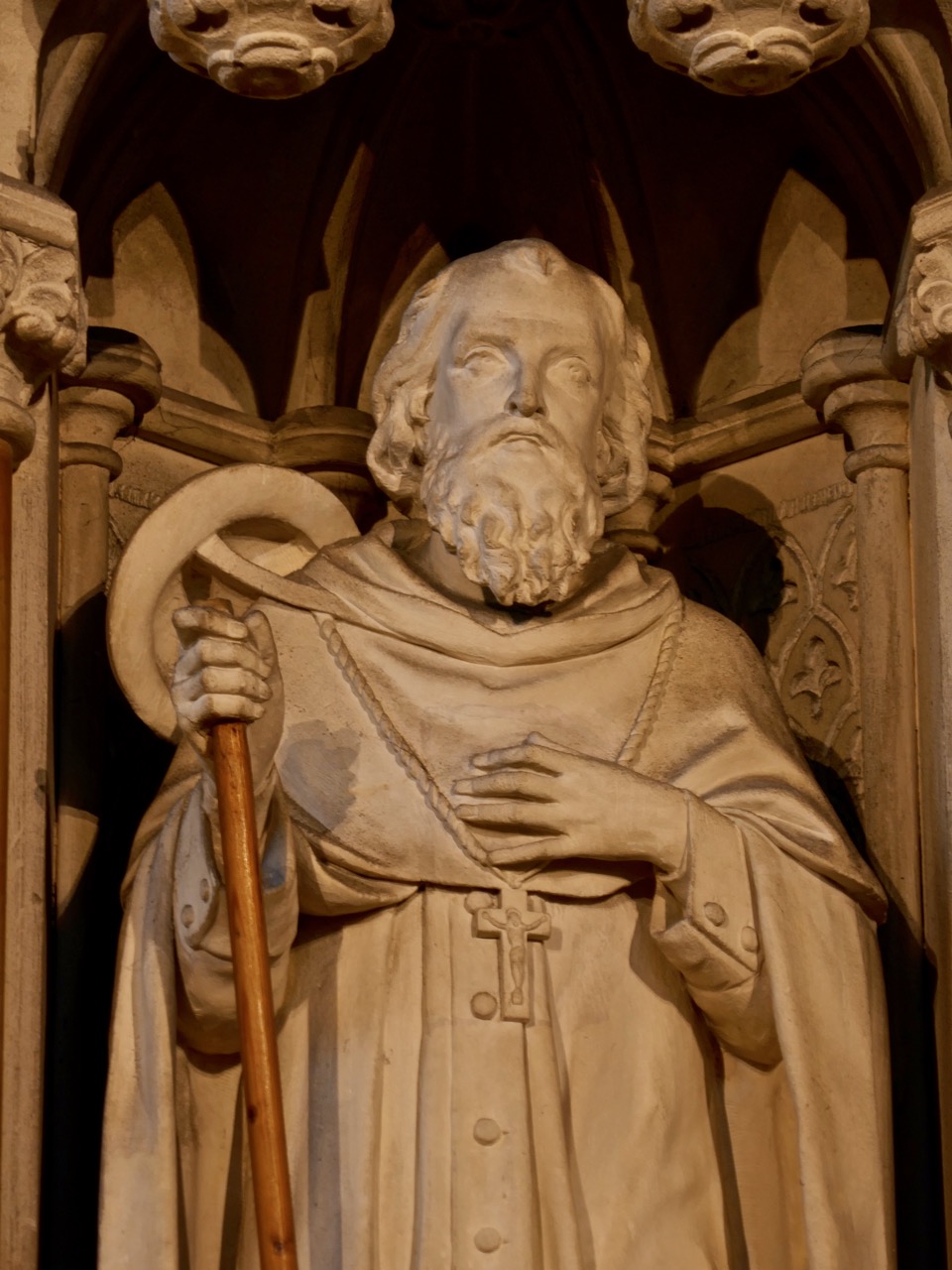
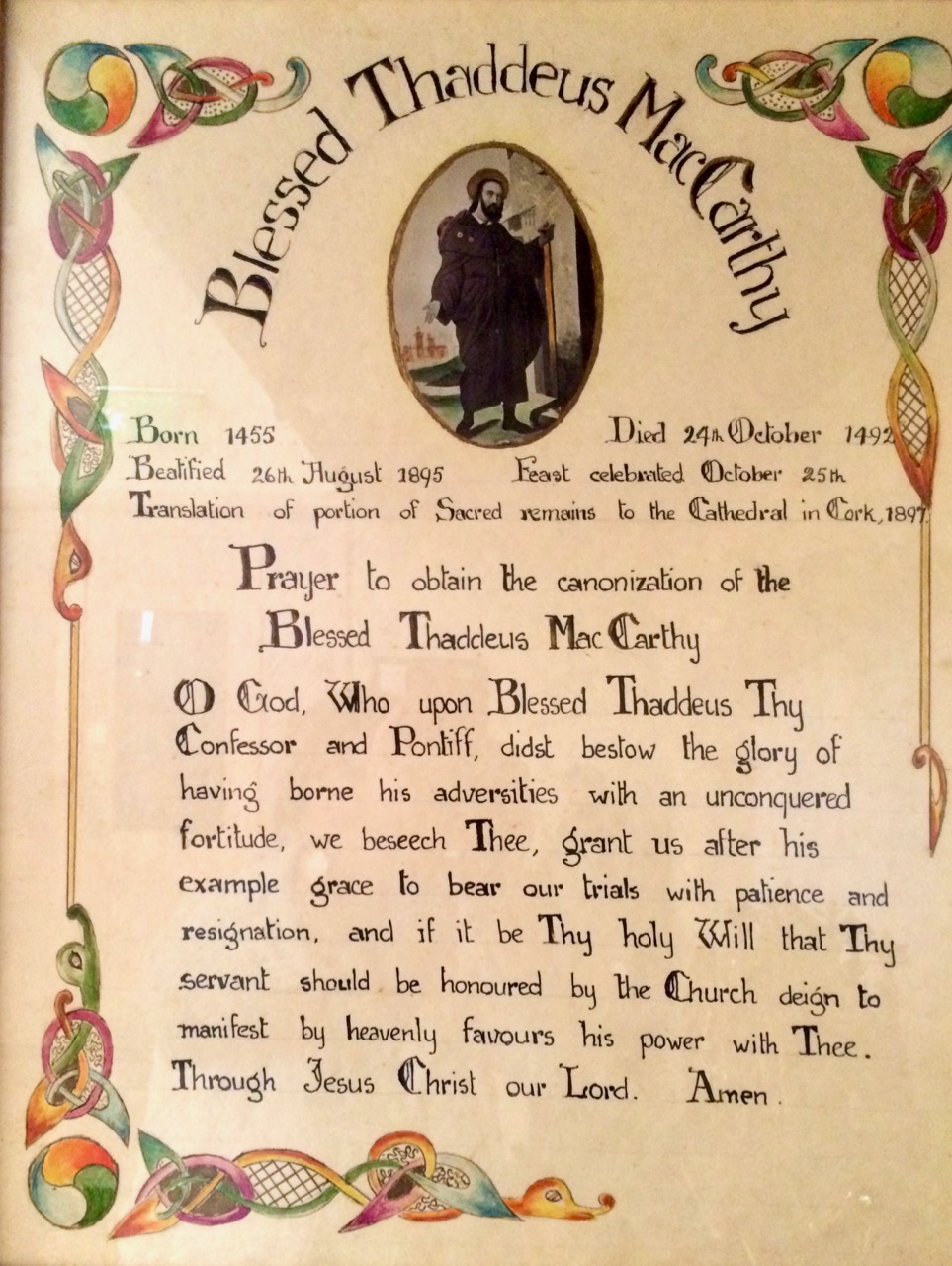
I had never heard of Blessed Thaddeus McCarthy until I stumbled upon his curious shrine in Cork’s North Cathedral. It’s a strange and glorious thing – two golden angels holding an ornate, bejewelled casket within which a glass tube contains, of all things, a leg bone. Nearby, a statue and a plaque provide more of the story.

The relic of Thaddeus’s leg bone and a prayer to him, both part of the shrine on the North Cathedral, Cork

Once I had seen the shrine in the North Cathedral, it seemed I met the Blessed Thaddeus everywhere I went, and I came to know about his life over time. It is as much a story of the struggle for supremacy of some of the great Irish houses – the McCarthy Reaghs, the FitzGeralds and the O’Driscolls – during the turbulent fifteenth century, as it is the story of a holy man.

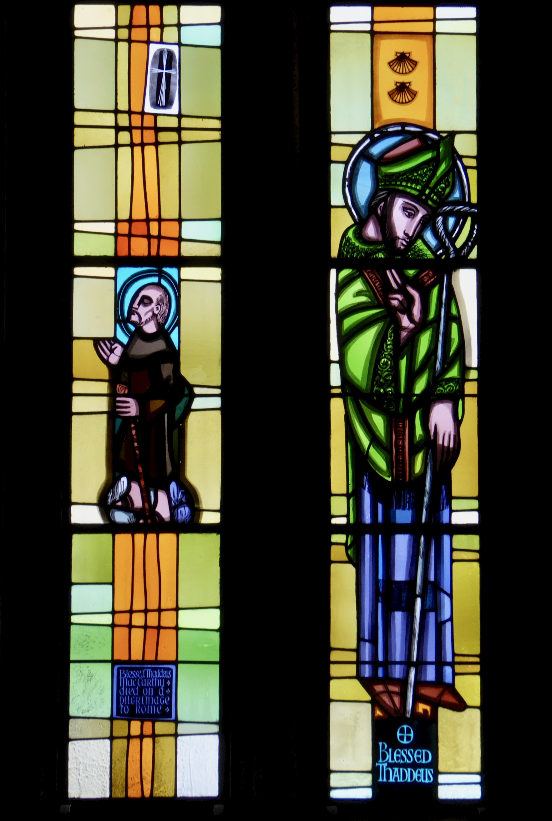
Thaddeus is often depicted wearing the scallop shell – symbol of a pilgrim

Thaddeus was born in 1455 in West Cork into the reigning Munster family of the McCarthy Reaghs, powerful lords who held sway in Carbery and Muskerry at the time and whose principal seat was in Kilbrittain. He studied under the Franciscans, probably at Timoleague Friary, and took holy orders before going off to Rome where he impressed the Pope (Sixtus IV) so much with his saintliness that he appointed Thaddeus Bishop of Ross (Rosscarbery See). Upon his return home, however, he found that an O’Driscoll was already Bishop of Ross (appointed by the same Pope – he had apparently forgotten, oops). The O’Driscolls were certainly not about to give up their hold on the See of Ross, so back went Thaddeus to Rome to ask the Pope to sort it out.

Thaddeus in Italy, dressed as a simple pilgrim, looking resigned and thoroughly saintly

After many inquiries and rumination, another Pope, Innocent VIII, appointed him Bishop of Cork and Cloyne. Once again, when he returned home, it was to find that the FitzGeralds had their own man in the position. Through all these trials Thaddeus bore himself with patience and dignity and encouraged his followers not to engage in violent behaviour on his behalf. His enemies worked to get him excommunicated and so off he went to Rome one more time, where the Pope confirmed his credentials.

A window dedicated to Thaddeus in the Catholic church in Caheragh, near Skibbereen

On his journey back to Ireland he travelled alone in the guise of a simple pilgrim. He was only 37 years old, but worn out by his many travails he died in the night in a hostel near Ivrea in Italy. In the morning a bright light was seen to shine from the room where his body lay and the monks found him bathed in this mysterious glow. When they examined his possessions they realised he was an Irish bishop.

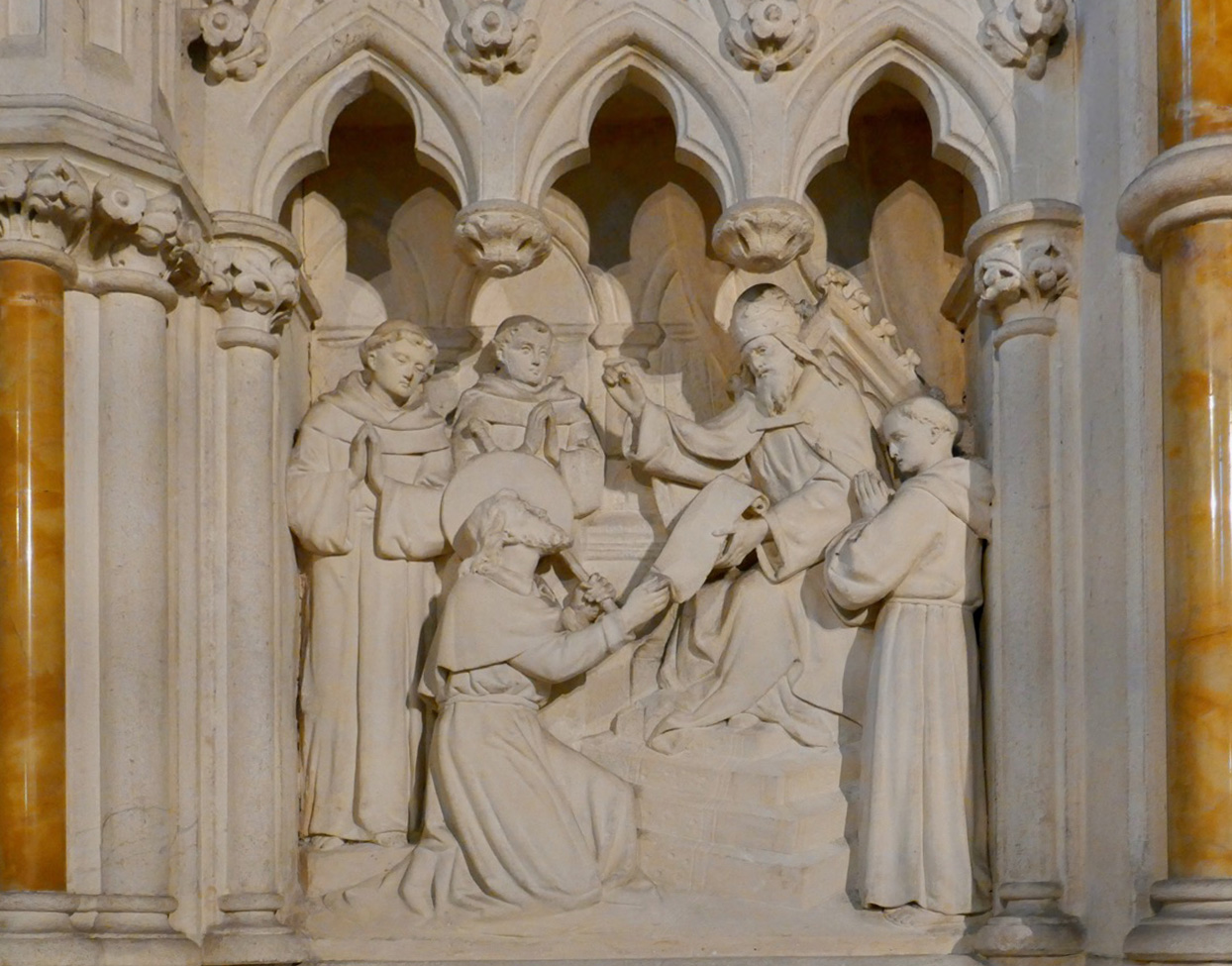
Thaddeus appeals to the Pontiff (detail of the Thaddeus altar, Cobh)

The Rev Patrick Hurley has written a full, two part account of the life of Thaddeus, published in the Journal of the Cork Historical and Archaeological Society for 1896 (here and here). The occasion for the paper was that the Irish, who had essentially forgotten about Thaddeus (although the McCarthy’s held on to a tradition of a saintly ancestor) had recently become aware of his status in Italy. I will let Fr Hurley take up the story of what happened next when Thaddeus died:

On hearing the news people flocked from all parts to see the pilgrim-bishop, who they regarded as a saint, and many sick were here cured and restored to health. Seeing this the bishop ordered the body to be carried to the cathedral, which was accompanied with great solemnity, the chapter, clergy and religious orders all going with a great multitude of people more in the way of a triumph than a funeral.

Depiction of the funeral, based on Fr Hurley’s account  (detail of the Thaddeus altar, Cobh)

Thaddeus was placed under the altar alongside the body of St Eusebius and there he is to this day. Eventually the tombs of both saints were opened and Thaddeus’s remains were re-interred in a reliquary (he was found to have red hair). His feast day is celebrated in October every year in Ivrea and many miracles have been ascribed to him over the centuries.

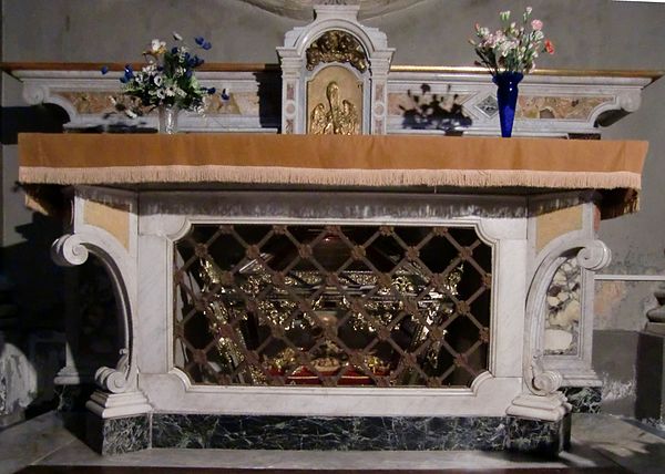
Blessed Thaddeus’s Reliquary in Ivrea, Italy

There’s even a 15th or 16th century poem, in Latin, about him. Fr Hurley provides a translation. Since he gives no author, it may be his own work, which would not surprise me as this is obviously an erudite and talented scholar. He started his career as the parish priest of Schull, was the priest responsible for the chapel and stations at Gougane Barra and also established the Irish training college at Ballingeary. He was a frequent contributor to the JCHAS.

Fr Hurley had attended a ceremony in honour of Thaddeus in Ivrea ‘recently’ when he wrote his two pieces. He remarks in awe on the majesty of the ceremonial and the great crowds who took part. Above all, he says, the solemn procession when, as if in triumph, the remains of the poor unknown pilgrim were carried through the streets he passed so many years ago, will not be easily forgotten.

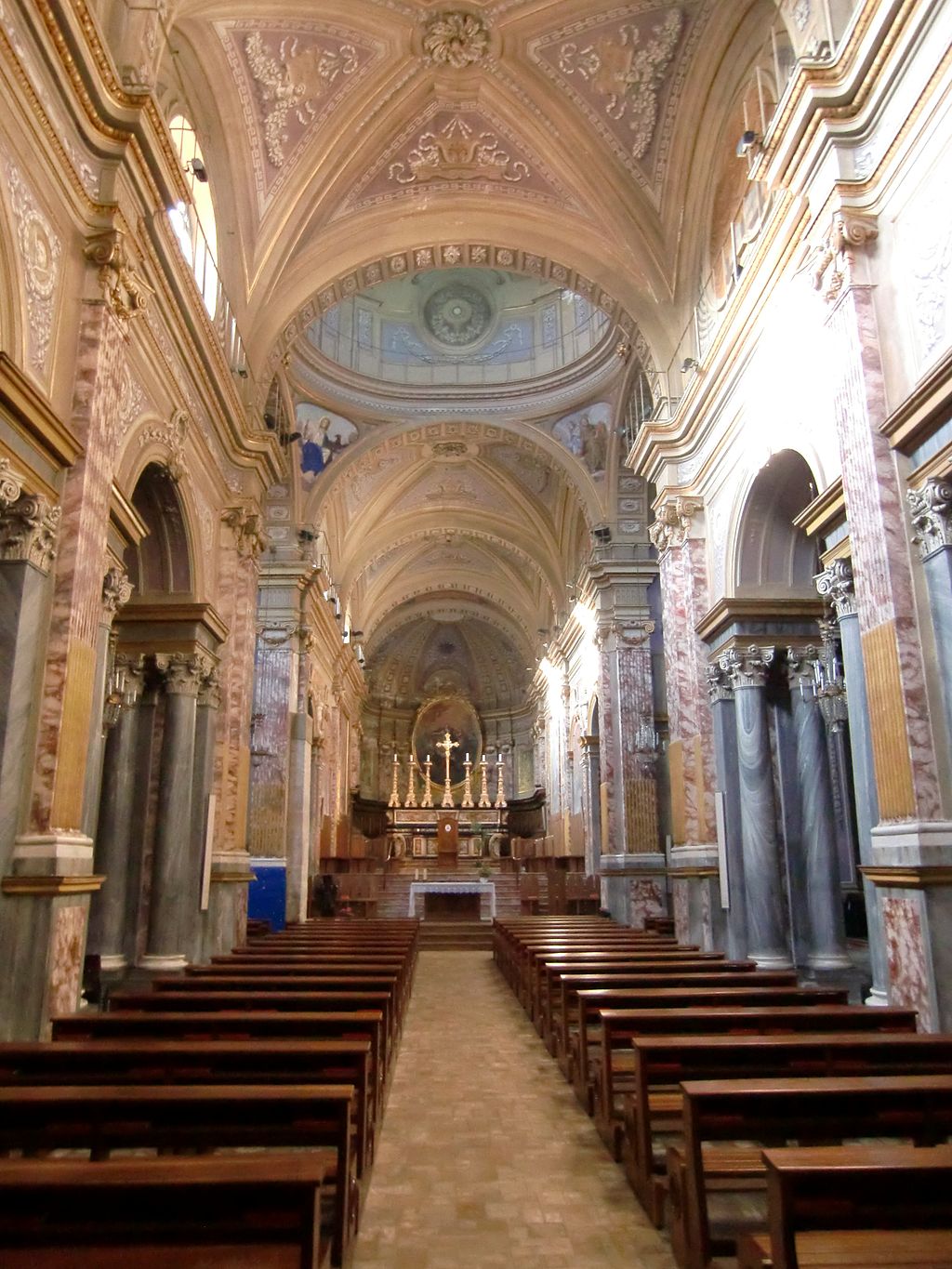
Above, the magnificent church in Ivrea, Italy, where Thaddeus lies and below, the equally magnificent side-chapel dedicated to his memory in St Colmán’s Cathedral, Cobh

In more recent times, it was agreed that some relics of the saint could be returned to Ireland – hence the leg bone that caught my attention in the North Cathedral. Ireland, and particularly Cork, had rediscovered their saint and veneration of this fifteenth century holy man spread rapidly. In St Colmán’s Cathedral in Cobh (the subject of Robert’s post this week) one of the side chapels is dedicated to him: this probably happened in a time of great enthusiasm for the revival of his cult following the rediscovery described by Fr Hurley. The design of the altar, the carvings, the mosaics and stained glass show that the artists were familiar with Fr Hurley’s account. 

The death of Thaddeus, St Colmán’s Cathedral, Cobh

In the years that followed, as new churches were built and older ones refurbished, Thaddeus lived on in stained glass and small shrines. I have no doubt that part of this comes down to his surname – we love the idea that the McCarthys, of a proud, ancient and powerful lineage, and the people of Cork, have our own saint.

A shrine to Thaddeus, including a reliquary (not sure what it contains) in the Catholic church in Clonakilty

Please read the comments for updated information