Sheep’s Head Stone Circle Revived!

Gorteanish Stone Circle, near Ahakista on the Sheep’s Head Peninsula, is singular because it lacks ancient history. It doesn’t appear on the early Ordnance Survey maps and – to the best of my knowledge – no local stories or folklore have been recorded about it. It is a Bronze Age archaeological site, but it has apparently been overlooked until comparatively recent times.

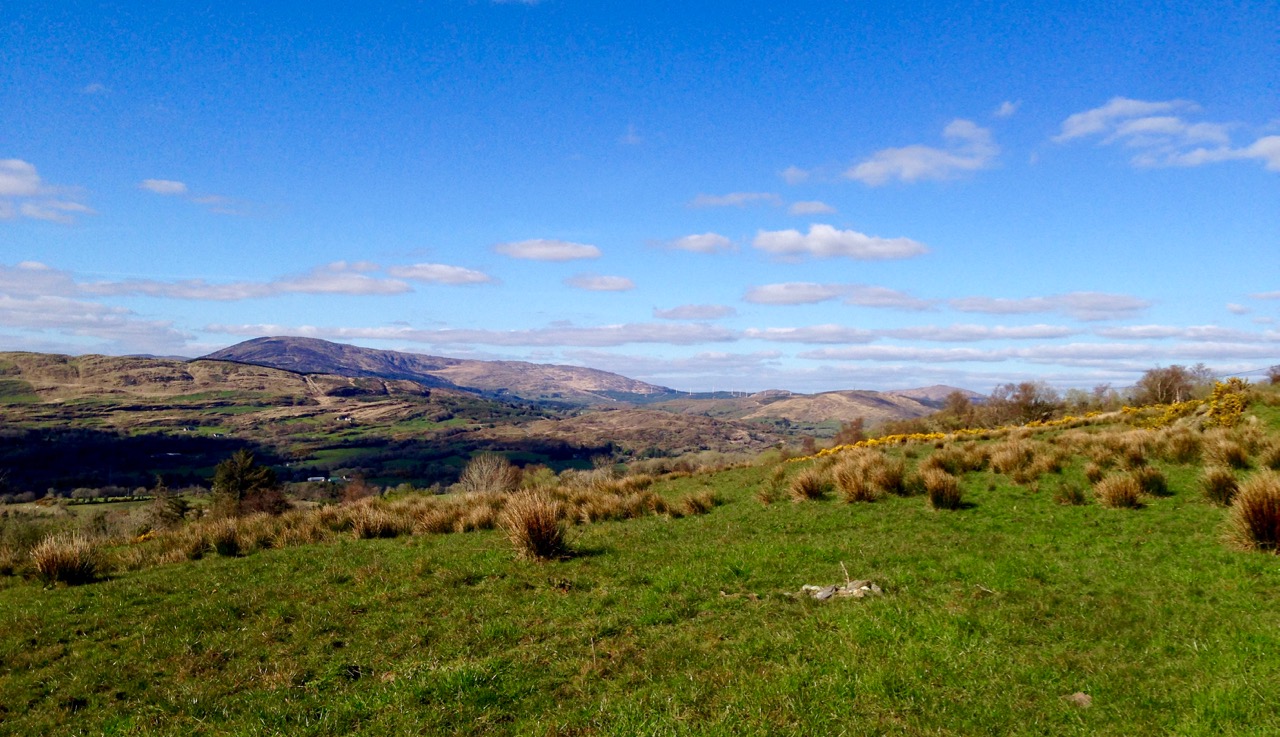
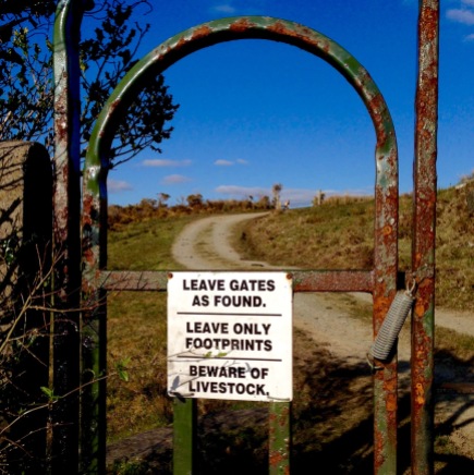
It’s a short walk to the west out of Ahakista to the site of the stone circle. The way is marked by the stone above. Atha Tomais means ‘Tomais’s Place, and refers to Tom Whitty from Philadelphia, who settled on the Sheep’s Head in the 1980’s with his wife Suzanne and family. He is credited with having come up with the idea of establishing The Sheep’s Head Way – a series of footpaths covering the peninsula, and the project was put in hand by Tom and a local farmer, James O’Mahony, completed in (remarkably) just 18 months and formally opened by President of Ireland Mary Robinson in July 1996. During clearance work for the Ahakista footpath the remains of the stone circle at Gorteanish were discovered. It has since been suggested that there were stories of ‘old stones’ being hidden in the undergrowth. A footpath giving access to the stones from the nearby lane was duly completed and opened, and the inscribed stone marks this occasion.

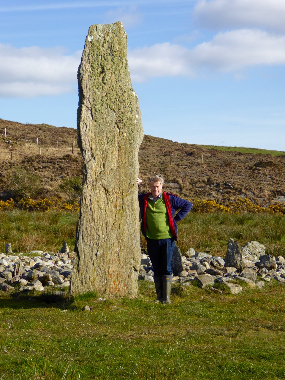
This photograph shows the circle more or less as it was found in the 1990s. Four stones are standing, and others are lying prostrate.

Earlier this year, the decision was taken by Professor of Archaeology at University College Cork, William O’Brien, together with a group of students, to extensively study the site at Gorteanish. Their mission was to excavate the site where necessary to establish which of the stones had been standing and to see how feasible it might be to restore these standing stones in their original sockets, using only traditional methodology. A significant area around the whole site would also be examined to search out any evidence of human occupation and activity – and hopefully to provide a reasonably accurate dating for the circle.

Finola and I visited the site while the archaeological works were progressing (above). Yesterday (5 August 2023) Billy O’Brien (below) was on hand to give a detailed talk on the excavation and restoration work, and we could see, for the first time in many generations, the circle restored to its complete state: it now has all eleven stones standing.

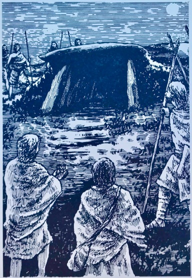
The view above shows a boulder burial monument situated to the south-west of the main circle. This has always been a visible feature of the site. A boulder burial (once called a boulder dolmen) is peculiar to Ireland. In fact it is found only in Counties Cork and Kerry. Finola has written comprehensively on this subject, here. It is usually a substantial raised stone supported on a bed of smaller stones:

. . . Boulder-burials are a group of prehistoric stone monuments of megalithic proportions, whose distribution is largely confined to south-west Ireland. Some 84 examples have been identified, 72 of these in Co Cork and the remainder in Co Kerry, where they occur both singly or in small groups of between two and four. They consist of a large boulder erratic supported by an arrangement of smaller stones, with no covering cairn or tumulus. Several examples are known which are centrally placed within stone circles . . .


Boulder-burials: A Later Bronze Age Megalithic Tradition in South-West Ireland
William O’Brien Dept of Archaeology, UCG 1992

A closer view of the boulder-burial at Gorteanish: it can be seen that the main ‘boulder’ element has split in two through the ravages of time. In the main circle, all the standing stones have been restored to their original (relatively shallow) sockets, and fixed using rammed small stones, following the evidence gained during excavation.

Most stone circles have a specific orientation. This can be seen by the shaping of the stones around the circle. In this case there are two clear ‘portal stones’ on the east side, directly opposite an axial stone on the far side (above). More usually, the stone opposite the portals is flatter, when it is known as the ‘recumbent’. In this case it is a substantial stone with a shaped top (detail, below).Perhaps this points to a feature on the horizon? Our calculations show that the orientation of this circle is towards the winter solstice sunset – just as at Drombeg Circle, not too far from here.

Yesterday’s event attracted a substantial crowd, eager to hear Professor O’Brien talking about this project. Many were no doubt surprised to see the site returned so faithfully to its original state. But – with stones standing – it has now become an iconic piece of archaeology. We are delighted that it is on our doorstep. If you want to read a deeper discussion on stone circles and their historical contexts, look at Finola’s post here – one of many that include the subject.

Another thing that Billy pointed out was the significant ancient stone wall that runs across the site; you can see traces of this above. In this view you can also see an elongated large rock apparently lying on its side. Some local commentators have suggested that this was once a very tall standing stone. If so, at about nine metres, it would have been spectacular! But the excavation confirmed O’Brien’s view that it was never standing, and has always been part of the landscape in its current position.

Also, an area of flat ground to the east above the site was closely examined, in case it revealed traces of any human use, but none was found. In fact, there were no signs of any notable human activity. However, one point that I found particularly interesting was that, in the centre of the circle, is a pit containing quartz stones. Quartz, that glinting reflective material that faces the much older main chamber at Newgrange (you can see a pic of it in this post), certainly catches the attention; it’s fascinating that the Gorteanish people – whoever they were – gave it an aura of importance by burying it at the focal point of this circle. The quartz has been replaced in the pit, after the excavation. Its position is marked by the only ‘alien’ element that has been introduce here – a pale coloured flat stone:

The larger earth-fast stone beyond this new addition has always been there: the site might have been constructed around it. It’s always interesting to see how people are going to react to a circle like this – here is someone’s recent contribution, also giving importance to the ‘magical’ quartz:

All in all, our day was exciting. It’s pretty special to see something ancient faithfully restored – and open for all to access. The seven fallen stones probably collapsed because of cattle rubbing up against them over centuries. That has been prevented now. We hope you will all appreciate – and enjoy – this new West Cork experience.

Mizen Magic 8: The Altar

Here’s the Mizen Peninsula shown on a map drawn by Robert for the Bank House tourism centre in Ballydehob and embellished with Peter Clarke‘s exquisite watercolour sketches of just some of the places that should not be missed by visitors to West Cork . . .

. . . And here is another rendering from Peter of one of the ancient sites that everyone goes past when travelling to the far west: possibly one of the most accessible pieces of archaeology on this section of the Wild Atlantic Way. It’s the Altar Wedge Tomb at Toormore Bay.

It’s early February, and Imbolc has passed. That means that Springtime has officially started here in Ireland. Sure enough, we looked out over a sunlit Roaringwater Bay this morning: soon we were heading out towards Goleen, Barley Cove and all points west. We stopped at The Altar and had it all to ourselves. You can see here that it’s orientated towards the Mizen Peak – that sharp little pyramid which is right on the centre of the picture – and lies to the west. For me, there’s a perfectly natural symbolism about placing the dead in a tomb that is aligned on the rising and the setting of the sun: that’s something we still do, several thousand years on!

The upper picture, taken on the Winter Solstice, shows the Mizen stretching away from the heights of Mount Gabriel: the Mizen Peak is the little pointed blip just left of centre. The lower picture looks across the wetlands behind the sand dunes at Barley Cove, and was taken today in the Spring sunlight: the Peak is clearly visible as the highest point. I believe that our forebears attached great importance to high places, as many stone monuments and Rock Art often seem to be placed in the landscape with commanding views towards hilltops. Mike Wilson’s site Mega-What sets out his detailed studies of the orientation of ancient sites within the natural landscape. Here is his analysis of the setting of the Altar Wedge Tomb.

I am always alert for the ways in which our special sites are interpreted for us. I created a bit of a storm a while back when I commended the signage which has been put in place along the Wild Atlantic Way using visually strong corten steel elements (above left) supplemented more recently by (in my opinion) very well designed information boards. The image on the right above is from an earlier OPW board which explains the possible early use of the wedge tomb, while the images below show the new signage, which features the later use of the tomb as a Christian altar during the Penal times (hence the name: The Altar), with a drawing by Sam Hunter. I am struck by the way this monument has been a focal point for differing rituals spanning countless generations.

When writing about archaeological subjects I am always on the lookout for the way that antiquarians saw the sites which we are familiar with today. I had hoped that George Victor du Noyer – the subject of an excellent recent exhibition in Cork’s Crawford Gallery – might have drawn this wedge tomb when he travelled the country for the Ordnance Survey during the early nineteenth century: he may well have done, but the annotation and cataloguing of his vast legacy of work has yet to be completed and I have not found such a record. His drawings below are not of The Altar, but a portal tomb, Ballybrittas in County Wexford. Portal tombs (sometimes known as dolmens) share similarities with wedge tombs, but are earlier, dating from between 3000 BC to 2000 BC, while wedge tombs tend to be associated with the Bronze Age, which followed this period.

Cremated remains were found in Altar Wedge Tomb when it was excavated in 1989 by Dr William O’Brien, now Professor of Archaeology at UCC. We can never know exactly what the significance of these impressive structures was to those who built them. For me, I’m pretty sure that it was connected with their relationships to, and respect of, the landscapes which they inhabited, and which they invested with meaning. They must certainly have paid heed to the passing of the seasons and the continual cycles of nature, and their closeness to all of this must have given them an inherent knowledge of the paths of the sun, moon and stars. Above all, our ancestors had to understand and appreciate the environment around them, and make it work for them. In a practical sense, certainly, but also in terms of the stories they might pass on about the meaning of places.

Above – the magical landscape of the Mizen: we will never tire of it

The tailpiece picture, which is from Wikimedia Commons, attributed to Lukeoc88, is a remarkable timeless view of a human construction in the setting of our Universe: Altar Wedge Tomb under the Milky Way.

Walking the Past

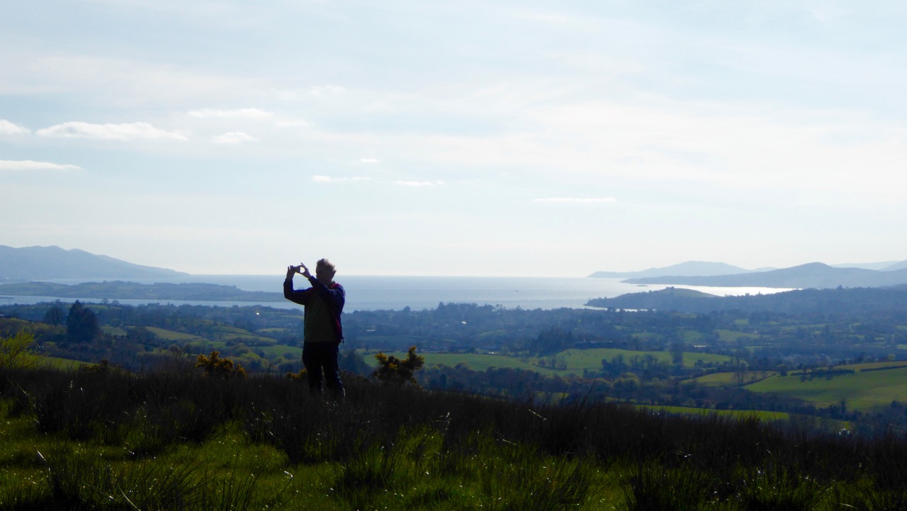
Robert taking a picture

How fortunate are we? We are free to spend our days wandering the world’s most beautiful landscapes, here in Ireland: landscapes which have changed relatively little over the last five thousand years. They have changed, of course, but the human hand has had less impact in this country than in many other developed nations, especially in these wilder parts. That is why we relish our explorations: we are walking the past.

breeny landscape

Top picture: Robert taking in the setting of the monuments at the Kealkill complex. Above: the view towards Kealkill village from Breeny More

Every expedition requires a little pre-planning. This week we were keen to catch up with a group of monuments known as ‘boulder burials’. Finola tells me that, when she was first studying archaeology, they were known as ‘boulder dolmens’: I prefer that term – perhaps because it has a touch of the antiquarian about it – and, in any case, the use of the word burials implies a definitive function which has not been universally borne out with the examples that have been excavated. But I will leave Finola to delve into the specifics of that subject in her post Boulder Burials: a Misnamed Monument?

workspace

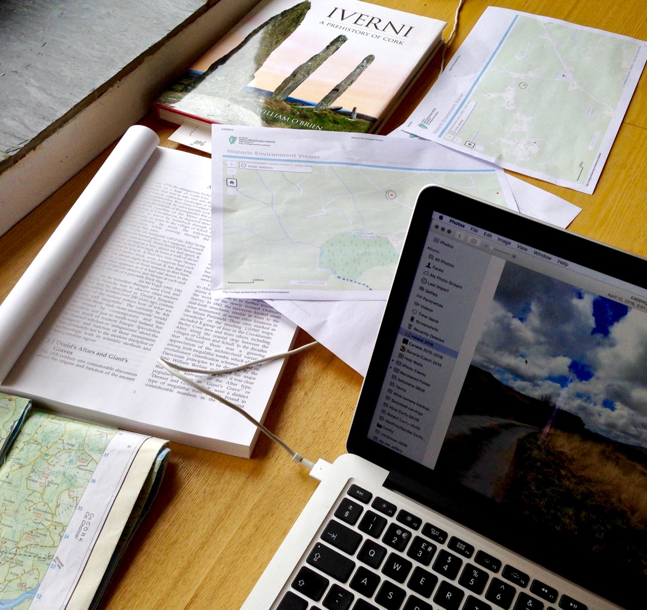
Blogging in progress: prequel to an expedition…

First, we look to the available information: William O’Brien’s Iverni – A Prehistory of Cork (The Collins Press 2012) is an essential primer on the pre-Christian era in this corner of Ireland since the first human foot was set on its shores. Then there are maps to be consulted: the Ordnance Survey Office was created in 1824 to carry out a survey of the whole island for land taxation purposes. The original survey at a scale of 6 inches to 1 mile was completed in 1846 and Ireland thus became the first country in the world to be entirely mapped at such a detailed scale. From the outset, known historic sites and monuments were recorded and the present Discovery Series at 1:50,000 scale provides a wealth of information to the fingertips of historians and adventurers.

kealkill OS map

One of our bibles: the Discovery Series of the 1:50,000 Ordnance Survey maps – well used and well worn! The monument sites are marked in red

Before setting out we usually consult with the Archaeological Survey Database of the National Monuments Service: this gives us the fine detail on where to find recorded historic sites. Yet in the end the most valuable information often comes from knocking on doors. Farming families here often go back through many generations and local knowledge is always passed down through them. It’s here that you sometimes pick up the ‘stories’ that are associated with ancient sites – for me, these are just as interesting as any formal records.

Breeny More landscape

View to Bantry Bay across the Breeny More archaeological site

This week our travels brought us to the Breeny More and Kealkill complexes, high up in the hills above Bantry, heading towards the wonderfully named Cnoic na Seithe – the Mountains of the Spirits. This was on a perfect spring day: the views all the way down the bay with the Beara on one side and the Sheep’s Head on the other can only be described as spectacular.

kealkill landscape

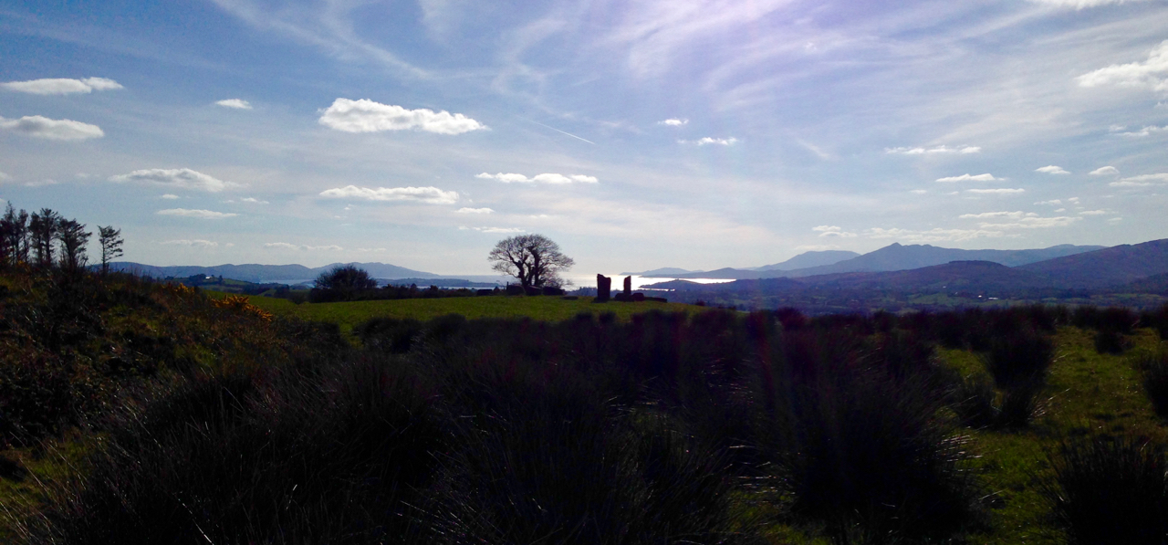
view west

Two views from the Kealkill complex

It can’t be accidental, surely, that these ancient sites occur in places like this, that make the senses reel? In many cases there are long views in all directions, often taking in prominent horizons, hilltops, the sea, inlets and islands. ‘As far as the eye can see’ is an expression that truly comes into its own: these vistas must have had special meanings to the ancestors who were here in the Neolithic and Bronze ages. Were they trying to define it in some way by building such impressive large-scale structures, most likely for some ceremonial purpose? It was certainly not construction work which could have been undertaken lightly or frivolously. Here’s O’Brien in Sacred Ground, Megalithic Tombs in Coastal South-West Ireland (NUI Galway 1999):

…Antiquarian interest in Ireland dates from the visit of Edward Lhuyd at the end of the 17th century and was encouraged by the discovery of great megalithic centres like the Boyne Valley in Co Meath and Carrowmore in Co Sligo. The early antiquarians were to link these ‘Giants Graves’ to invaders or colonists from the East, to Scandinavian incursions and eventually to the events and characters of early Irish literature…

boulder cluster

The Breeny More complex:  no less than four boulder burials, a multiple stone circle and a (much later) ring fort, all on one superbly located site

Robert Kealkill Complex

A cause for wonder: the tall standing stone at the Kealkill complex. A stone circle lies to the west while a radial cairn is behind (to the south of) the stone pair

So, it’s Finn McCool and the Tuatha de Danaan that we have to look to, perhaps, for explanations as to why we find these incursions on our natural landscape standing as solidly and unchangingly as they did a few millennia ago. Perhaps not quite unchangingly, in fact: archaeologists have had a hand in the present day appearance of some of them. In the photo above you can see me wondering at the 4.6 metre high megalith which is part of the Kealkill complex. When the site was explored by Sean P O’Ríordáin in 1938 that stone had broken off and had fallen: O’Ríordáin re-erected the remaining part of the menhir. The original would have been at least a metre higher than what we see today.

kealkill excavation report

kealkill diagram

From O’Ríordáin’s published report of the excavation of the Kealkill complex: top, the taller standing stone being re-erected and, below, a survey diagram of the findings. From the Journal of The Cork Historical Archaeological Society, Volume XLIV ,1939

The Breeny More site and the Kealkill complex are near neighbours. Both contain various artefacts: standing stones, stone circles and boulder burials. Kealkill also has a radial cairn. Both are set against a background of moorland, mountain and bay. Kealkill is easily accessible although boggy.

Most sites are on private land and permission should always be sought to visit, unless it is obvious that access is welcomed, as here at Kealkill

Our second archaeological adventure this week was also boulder burial orientated. This was close to home in the townlands of Rathruane, Lisheen Lower and Bawngare. Again, Finola has detailed the findings in her post, but I was struck at each of these sites that the their settings, too, were on high ground with excellent distant views. In each case, mountains were prominent. I couldn’t help thinking that the boulders could have been placed where they are specifically because of the visibility to the various peaks. Might it even be that territories were marked out by these huge stones? Boundaries have always been important to human strategies: we have been identifying and ‘naming’ the land before records began to be written. Field names, townland names, parishes, baronies… A whole lot more to be researched, visited and recorded. Our long walk through Ireland’s past has barely begun!

Robert at Kealkill

Launched!

A joint post by Finola and Robert

Mingling

Hallowe’en (All Hallows – Samhain) was the perfect day to launch our Prehistoric Rock Art Exhibition at the Cork Public Museum. As Finola said in her remarks at the opening, it’s a time when the veil between two worlds is at its thinnest: in this case, it’s the veil between an ancient time and the present day. We hope the exhibition emphasises the work of our distant ancestors who have inscribed the landscape and given us the enigma that is Rock Art.

Blank Canvass

Almost there
Before the Exhibition – Robert contemplates the blank canvas (top) and installation work in progress (below)

As our regular readers will know, the exhibition has been a very successful collaborative effort: Finola and Robert (providing drawings, explanations and the overall design); Keith Payne, a West Cork painter whose work is inspired by ancient art; Ken Williams, the excellent photographer of megaliths and monuments; the staff of Cork Public Museum, including intern Clare Busher O’Sullivan who came up with the idea and Dan Breen, Assistant Curator and his team, who made sure it all happened.

The Team

The Core Team: Clare Busher O’Sullivan, Ken Williams, Keith Payne, Finola Finlay, Robert Harris and Dan Breen

After some intensive days, on site and off, it has all come together and was launched yesterday. It was a grand launch: Firstly, William O’Brien – Professor of Archaeology at UCC – outlined a history of rock art studies and research which started back in the nineteenth century. He mentioned a predecessor in the department – Professor Michael J O’Kelly – who was born exactly 100 years ago and is best known for his excavations and restoration work at Newgrange, the Boyne Valley passage tomb: Finola worked on those excavations and it was Professor O’Kelly who suggested that she should carry out the research on rock art in Cork and Kerry which led to her Master’s thesis on the subject in 1973 – and, 42 years later, to the undertaking of this exhibition.

Professor Michael J O’Kelly (left) was renowned for his work at Newgrange (right)

Next up was Finola, who told us more about her expeditions back in the early 1970s. In those days when the boreens of rural Ireland were mostly populated by donkey carts her own travel was by means of her brother’s Honda 50 motorcycle, and we pictured her loaded down with compass, tapes, chains, chalk and tracing paper – a recording methodology now completely out of favour. But the result was a set of beautiful monochrome illustrations that form the core of the exhibition.

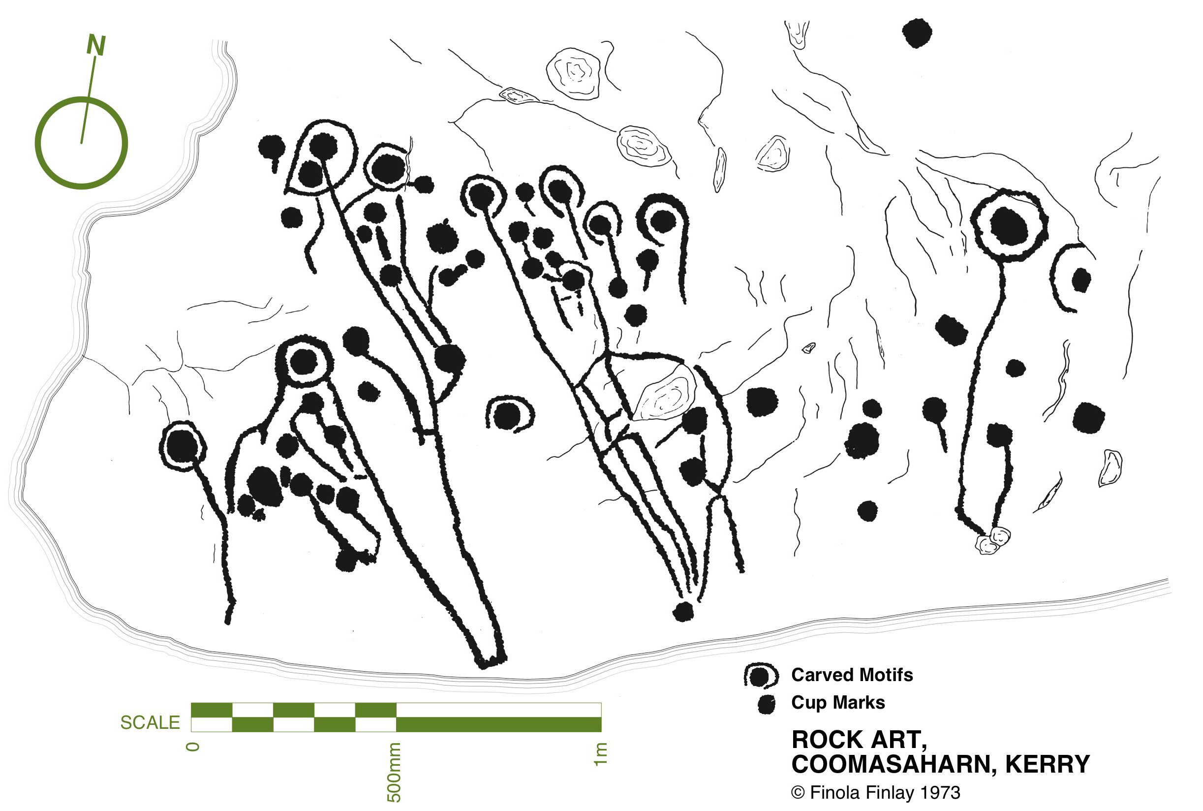
Coomasaharn

Rock Art: a detail of the picking technique (top left), and Finola’s drawings from 1973

In our modern days non-invasive recording methods have to be used: Ken Williams has developed a very effective method of photography using slave flash units to provide low angle lighting over the carved rocks, which brings the maximum level of detail out of the panels. The exhibition contains many fine examples of Ken’s work in this field.

Ken Williams in action: at the Bohonagh stone circle (left) and in the Derrynablaha townland, Kerry (right)

Finola also talked about Keith Payne’s work. He produces large and visually striking paintings based on particular rock art motifs. Two of these artworks are in the exhibition and will inevitably draw the eye, providing a good and colourful counterpart to Finola’s drawings.

Keith Payne at the hanging (left) and at the launch, in front of the remarkable Derreennaclogh stone (right)

The official launch was in the capable hands of Ann Lynch, now Chief Archaeologist at the Irish National Monuments Office. Ann and Finola were fellow students at UCC. Ann outlined the work of her department in recording Ireland’s monuments – and the difficulties involved in pursuing the preservation and protection of these monuments, including Rock Art – before formally declaring the exhibition open.

Ann declares it open

Ann Lynch, Chief Archaeologist at the National Monuments Office, declares the Exhibition open

Noteworthy exhibits include one piece of Rock Art – the Bluid Stone from County Cork – which is in the safe keeping of the Museum, and will remain on permanent display after the exhibition closes at the end of February next year. The Museum also houses an example of passage grave art from Cape Clear island (prominent in our own view from Nead an Iolair).

Tired

Fine Detail: the Bluid Stone under close inspection

Other exhibits include Ken’s superb photo of the iconic stone at Derrynablaha, Co Kerry, in its panoramic setting of a Neolithic landscape. This occupies the whole of the end wall – and is simply beautiful.
Gazing

Visitors are surprised to see much of the floorspace taken up with a 70% life-sized image of the stone at Derreennaclogh: some hesitate to walk over it, but the printing is on hard-wearing vinyl, so feel free. The idea is to give you the feel of what it’s like to discover and explore the Rock Art out in the field. We have to mention how impressed we have been with the printing work carried out by Hacketts of Cork in the preparation of the exhibition – in particular, we were fascinated to watch the professionalism of their installation of the large items.

Yes – that floor can be walked on!

The timescale is set admirably by Alex Lee’s ‘Neolithic Settlement’ on the approach to the exhibition room. It’s well worth studying closely all the artefacts set out in this, and imagining what life must have been like for our artist ancestors in Ireland four or five thousand years ago.

Alex

Alex Lee at work on the Neolithic Settlement

We were delighted by how many of our friends from West Cork and beyond attended the opening, and gave us positive feedback. If you go during the next four months, please sign the visitors’ book. We are so grateful to our friends Amanda and Peter Clarke for being so supportive throughout – and for taking most of these photographs of the event: very many thanks.

Earnest discussions (left) and one of Ken’s superb photographs (right)

Our own day was rounded off by a visit to the Shandon Dragon festival, which processed through the centre of Cork in the evening – another unmissable event which reminds us of ancient times and long-held beliefs…

Shandon Dragon

Hallowe’en: The Shandon Dragon Procession makes its way through Cork City

Irish Poldarks

black hole

Derrycarhoon Mine

Schools are back; fields are being cut; the shutters are going down on the holiday houses around the Cove. And – the good weather has arrived! Hot days and red sunsets: West Cork is the place to spend autumn…

Full Sky

Autumn comes to Rossbrin Cove

It was just such a golden autumnal-feeling day when our friend (and Fastnet Trails mastermind) Eugene McSweeney called us to see if we would like a trip out to the old metal mine north of Ballydehob, in the townland of Derrycarhoon. Of course we would! Local farmer William Swanton led the expedition: William’s family had connections with mining – he told us that his grandmother’s father had been a Captain of the mine.

William

William Swanton at the South Shaft, Derrycarhoon

You will know that we live in the townland of Cappaghglass, and this has a mining history, as does the neighbouring townland of Ballycummisk. Also, there are ancient mines on the slopes of Mount Gabriel, not far away, and more mining activity in other parts of the Mizen, Sheep’s Head and Beara Peninsulas.

Allihies19571957 scene at Allihies Mine, Beara Peninsula

hodnett bookWhile many aspects of the 19th century history of the old mine at Derrycarhoon have been well recorded (I am indebted to The Metal Mines of West Cork by Diane Hodnett, The Trevithick Society, 2012), the site itself had for some time been difficult to reach and interpret as it was in a dense forestry plantation established in the 1960s and 70s. Now, however, much of the matured forest has been cleared (albeit leaving a devastated landscape) and it is possible to piece together the layout of the workings. Please remember that the mine is on land managed by Coillte and is subject to Coillte’s policies on access – permission must be sought from the landowner before visiting; also, a guide is essential – there is very rough ground and open and unguarded shafts and trenches.

danger

What is so special about this mine is that it has apparently been exploited firstly in prehistoric times, and then again in historic times – prior to its most recent incarnation in the 19th century. Professor William O’Brien of UCC recognises ‘…the recently-adduced evidence for early medieval operations at this site, which is quite unique in the history of Irish metal mining…’ (A Primitive Mining Complex at Derrycarhoon, County Cork – Journal of Cork Historical and Archaeological Society vol 94). While other mines on the Mizen Peninsula have shown evidence of being worked initially in the Bronze Age and then subsequently in modern times, Derrycarhoon is the only one to date which can confidently claim to have also been in use in between those times.

finola at the shaft

interior

Intrepid Finola inspecting the deep shaft at Derrycarhoon, top, and her photo, below – note the copper staining

We have explored links between West Cork and Cornwall in previous blog posts (here, herehere and here). When it comes to metal mining anywhere in the world there’s usually a Cornishman involved and here is no exception to that rule. The mine agents – whose job it was to prospect and direct operations – were always known as ‘Captains’. A dynasty of Mine Captains was founded by Charles Thomas (1794-1868), a mining agent and share dealer in Camborne, Cornwall – responsible for the very successful development of the Dolcoath Mine in Camborne. Mineral rights here were established in 1588 and copper was being produced in some quantity by 1720. Thomas (who had started work in the seams of Dolcoath at the age of twelve) stepped in as Captain in 1844 after a period of considerable decline in metal production. Charles was a real-life Poldark – insisting that the apparently dwindling seams of copper be followed to the bitter or fruitful end – and his skills saw Dolcoath (known as the Queen of Mines) become the largest, deepest and most productive mine in Cornwall, with its principal shaft eventually reaching a depth of 3,300 feet (1,000 m) below the surface – and incidentally taking the miners between 2 to 3 hours to descend and ascend, significantly reducing their working shifts below ground. Thomas was succeeded at Dolcoath by his son Josiah and then his grandson Arthur, taking the mine well into the twentieth century. (Its successor, the South Crofty Mining Company went into administration in 2013).

Dolcoath 1893

Dolcoath, Cornwall – Queen of Mines – 1893

The point of this digression into Cornish mining history is simply that three more sons of Charles Thomas, Captain of Dolcoath, came to the west of Ireland in the mid nineteenth century and were instrumental in the development of many of the mining activities here, including those on the Mizen. The brothers, Charles, Henry and William arrived by 1841 with their own families – yet more sons – who proceeded to populate, at one period or another, the Captaincies of most of the West Cork activities, including our own Cappaghglass workings and the Derrycarhoon venture.

West Cork Mine Captains: Henry Thomas (left) with his niece and William Thomas (right) with his daughter

The modern age of mining commenced at Derrycarhoon in 1846, under the management of Captain Charles Thomas. Charles discovered no less than six old mines during his preliminary explorations, and recognised similarities between them and the shallow workings of medieval tinners which he knew from his childhood home on the moors of Bolenowe, near Camborne, where such workings were extensive and visible. That’s how we know that this mine had been active in those times. But also, as his brother Captain William records in an article dated 1853:

…In the Derrycarhoon Mountain some excavations have been found, which no doubt were made at a very remote period, as they are invariably designated by the country people ‘Danes’ or ‘Danish Works’, but whether these ancient works were carried on or not by the Danes is not easy to determine: it is, however, an historical fact that the Danes visited Ireland many hundreds of years ago…

1843 drawing danish implements

Nineteenth Century Archaeology: Excavated ‘Danish Implements’, 1843 – in fact these finds are likely to be Bronze Age or Iron Age – have a look at  Umha Aois, a Roaringwater Journal post about early metalworking

(Thomas 1853) …One of these singular excavations at Derrycarhoon was a few years ago cleared of water and rubbish; it was found to be 60 feet deep and about 120 feet in length… the lode or vein appears to have been literally pounded away by stone hammers, a great many of which were found in the old works and which were evidently brought from a considerable distance, there being no rock of the same character within some miles…

Hand-held stone maul used at Derrycarhoon in prehistoric times

We found evidence at Derrycarhoon of these stone tools, generally known as ‘cobble stone hammers’ and probably originating on the beaches below us: their presence almost certainly confirms that the earliest workings here were Bronze Age, as confirmed by Timberlake and Craddock in a paper of 2013: …The distribution of known occurrences of this type of cobble stone hammer at or near to mining sites in the British Isles correlates with some (but not all) of the areas of near-surface copper deposits, particularly along the west coast of Britain… Recent fieldwork suggests good survival of tools at mine sites, even where these have become dispersed as a result of redeposition by later mining… Hammer stones, or fragments of hammer stones, are more or less indestructible, surviving any amount of later reworking. In most cases the fragments of these tools never disperse far from source, even when redeposited several times. Experience has shown that if a range of these can be found, then the approximate site(s) of prehistoric mining can usually be identified…

derrycarhoon trumpet

Further intriguing finds were made at Derrycarhoon in the nineteenth century, including a ‘notched pole’, a ladder and a trumpet-like wooden tube 75cm in length. Whether these artefacts were medieval or earlier we do not know but, remarkably, the tube still exists and is kept in the spectacular Pitt-Rivers Museum in Oxford (why not here in Ireland?). I could only find a poor quality early photograph of this.

Pitt Rivers Museum, Oxford, UK

Pitt-Rivers Museum, Oxford – where the Derrycarhoon Trumpet (above) is stored

The topography at Derrycarhoon – which is reappearing now that the forestry plantation has been cleared – is very similar to the Bronze Age mining sites on Mount Gabriel: long, shallow trenches interspersed with pits and shafts. However, the superimposition of medieval and modern interventions clouds the issue. William Swanton pointed out to us a drainage adit driven horizontally for some distance through the bedrock. We assume this is probably the work of the Victorian speculators.

three figures

portal

Mine explorers (top) and portal (below)

Captain Charles Thomas evidently raised some 30 to 40 tons of ‘rich grey copper ore’ after the ‘old workings’ had been cleared during the 1850s. Derrycarhoon Mine was listed from 1862 to 1873 under the ownership of Swanton and Company but there is no record of any production at this time nor afterwards, although prospecting trials were made in 1912 by a John McArthur of Glasgow and again in 1965 by the Toronto Mining Company. We found part of a core sample on site, presumably dating from that trial. Then the trees took over…

Landscape of spoil: copper traces in the discarded rubble; baryte – and views west to other Mizen mining sites, Mount Gabriel and Mount Corrin

Today, the rough landscape is marked only by green-stained spoil heaps, earthwork undulations and a few recognisable pits and shafts. The litter includes traces of barytes, sometimes a by-product of copper production. If you are not interested in mines or the history of them you will be pretty unimpressed. But, as a microcosm of our own local history, we were fascinated by our exploration of Derrycarhoon and are very grateful to William and his ancestors (were they the Thomases – our own Irish Poldarks?).

Cornish Miners Window