Rural Electrification – Process and Effect

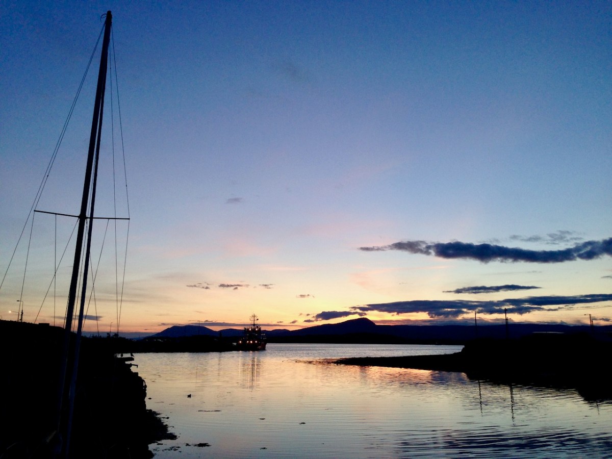
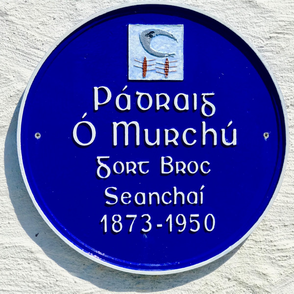
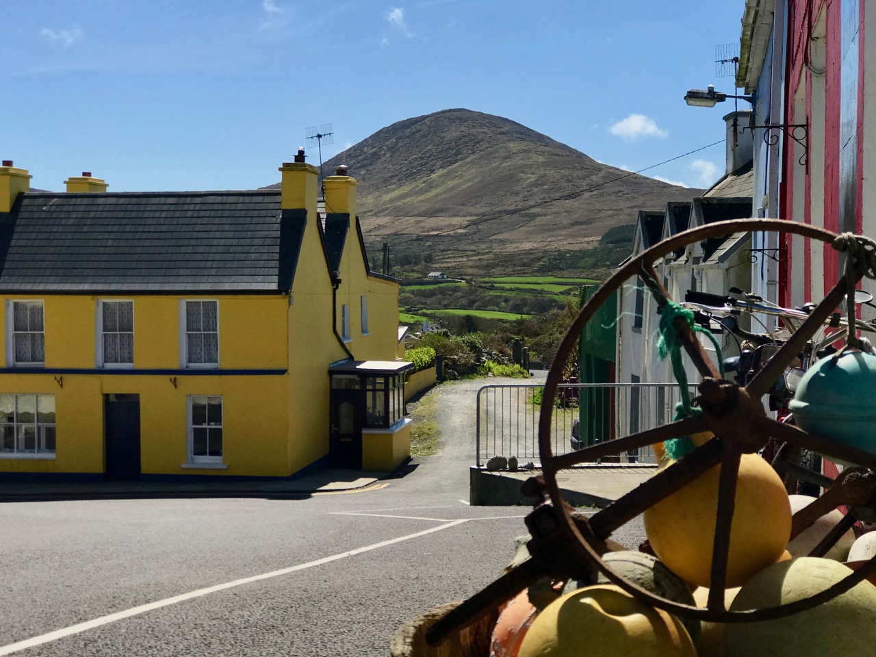
Above – on the left is the old Vaughan’s Hall in Ballydehob. Local historian Eugene McSweeney tells this tale:

. . . This hall in Ballydehob ‘had the Electricity’ around 1951-52. UK Queen Elizabeth II was crowned in 1953 – June 2 – and a film was made by the BBC. This film was sent around to be shown in village halls etc all over Britain, but also in Ireland. Vaughan’s Hall was able to borrow a projector, and an evening was set aside to show the coronation film. There were ‘some local lads’ who felt that good Irish citizens shouldn’t be gawking at this English Royal event. They brought some heavy chains, and threw them over the new electric wires connecting into the hall. This caused a short circuit and the lights – and the film – went out! Ballydehob had to wait for another day to see the coronation . . .

Eugene McSweeney, Ballydehob

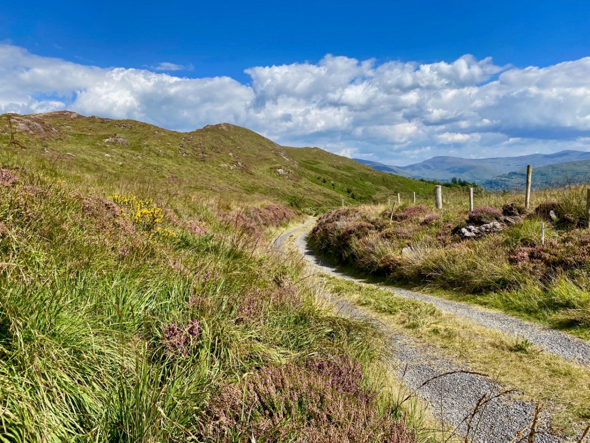
During the 1930s most towns in Ireland were connected to the National Grid. The outbreak of World War II in Europe led to shortages of fuel and materials and the electrification process in Ireland came to a virtual halt. In the early 1950s the Rural Electrification Scheme gradually brought electric power to the countryside, a process that was completed on the mainland in 1973 – not without some Herculean efforts by the on-site crews . . .

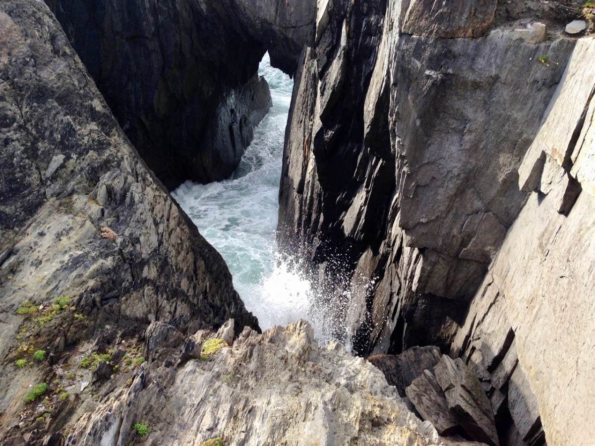
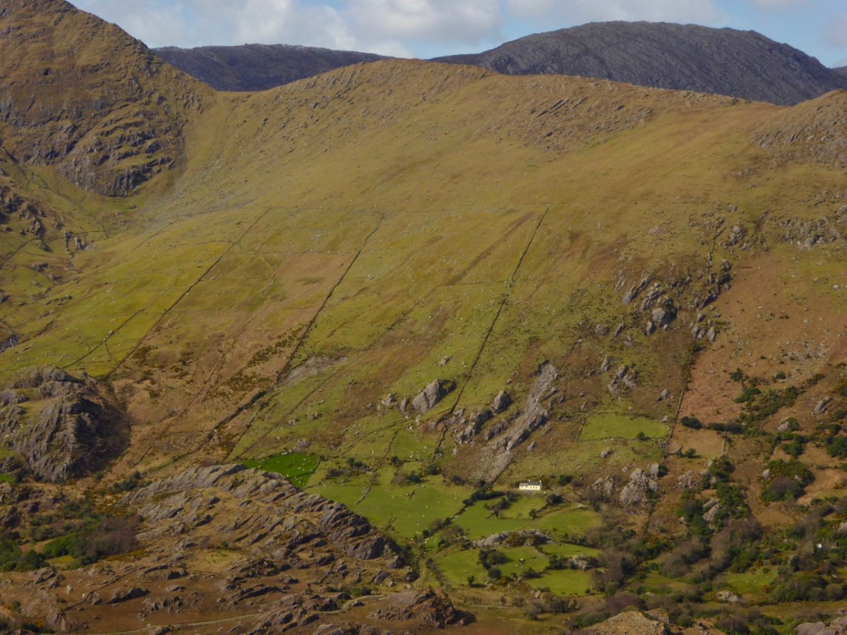
. . . While battling with the rocks in the Schull/Ballydehob fastnesses, blasting our way to our goal, we were informed that our next area was Castletownbere. No stick of exploding gelignite could produce more of a stunning effect in the Area Office than when the news reached us. Then we knew we were being accepted and acknowledged as mountainy men, men of steel and gelignite, capable of shaking still further the serenity of the West Cork mountains whose calm had not been disturbed by the noise of men and clash of steel since O’Sullivan Bere . . .

ESB ARCHIVES – AO Report 1951

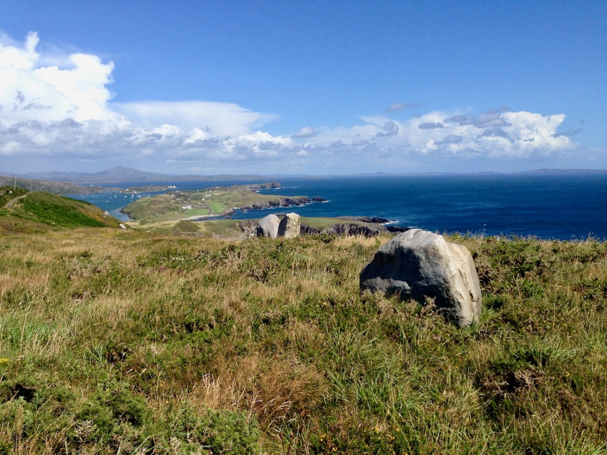
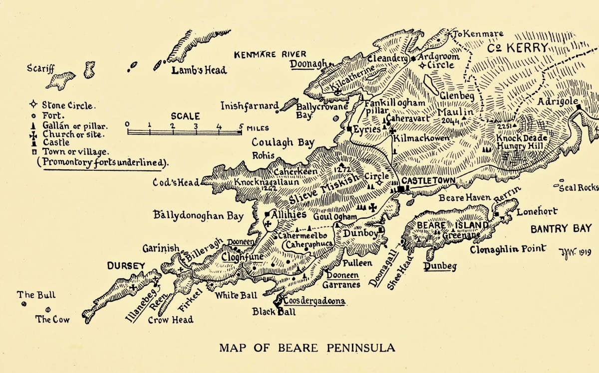
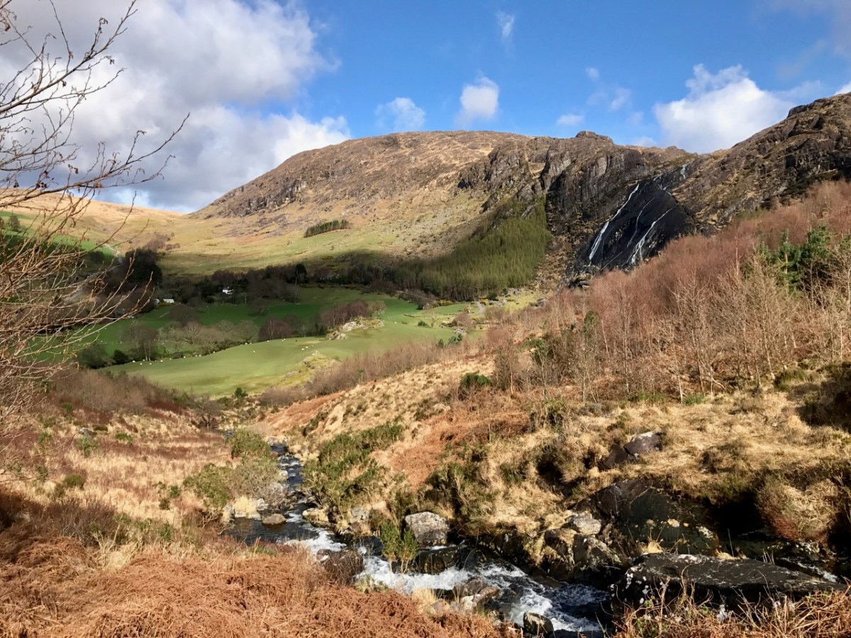
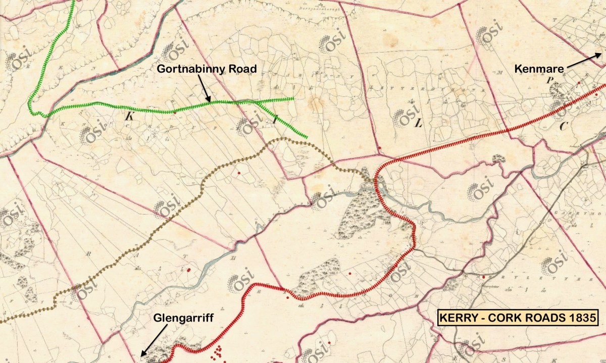
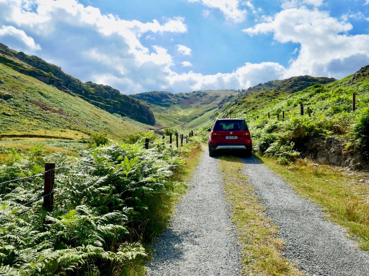
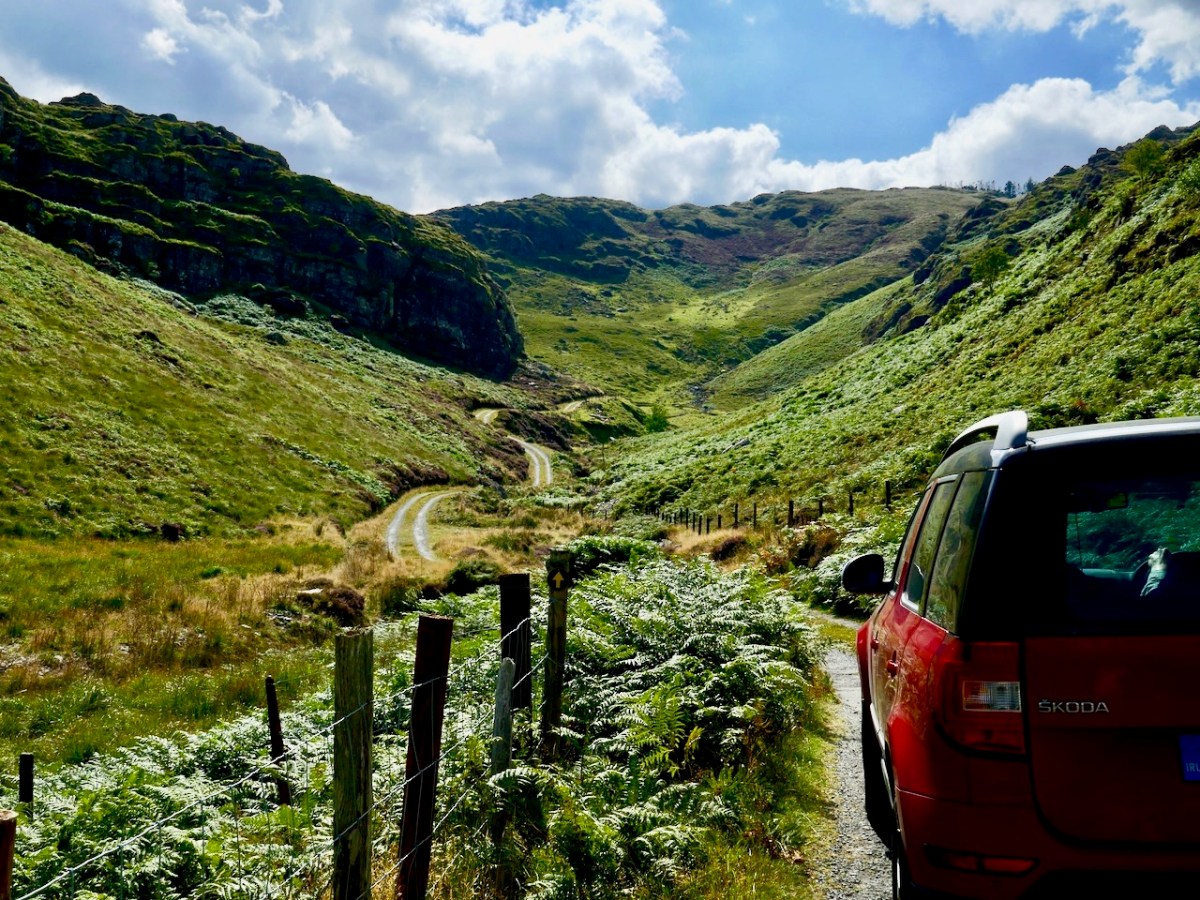
Above – the pegging teams faced an onerous task when they moved over to the Beara Peninsula. Here are extracts from the reports of the Area Officer when works set out towards Castletownbere in late 1951:

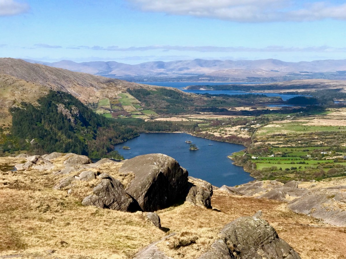
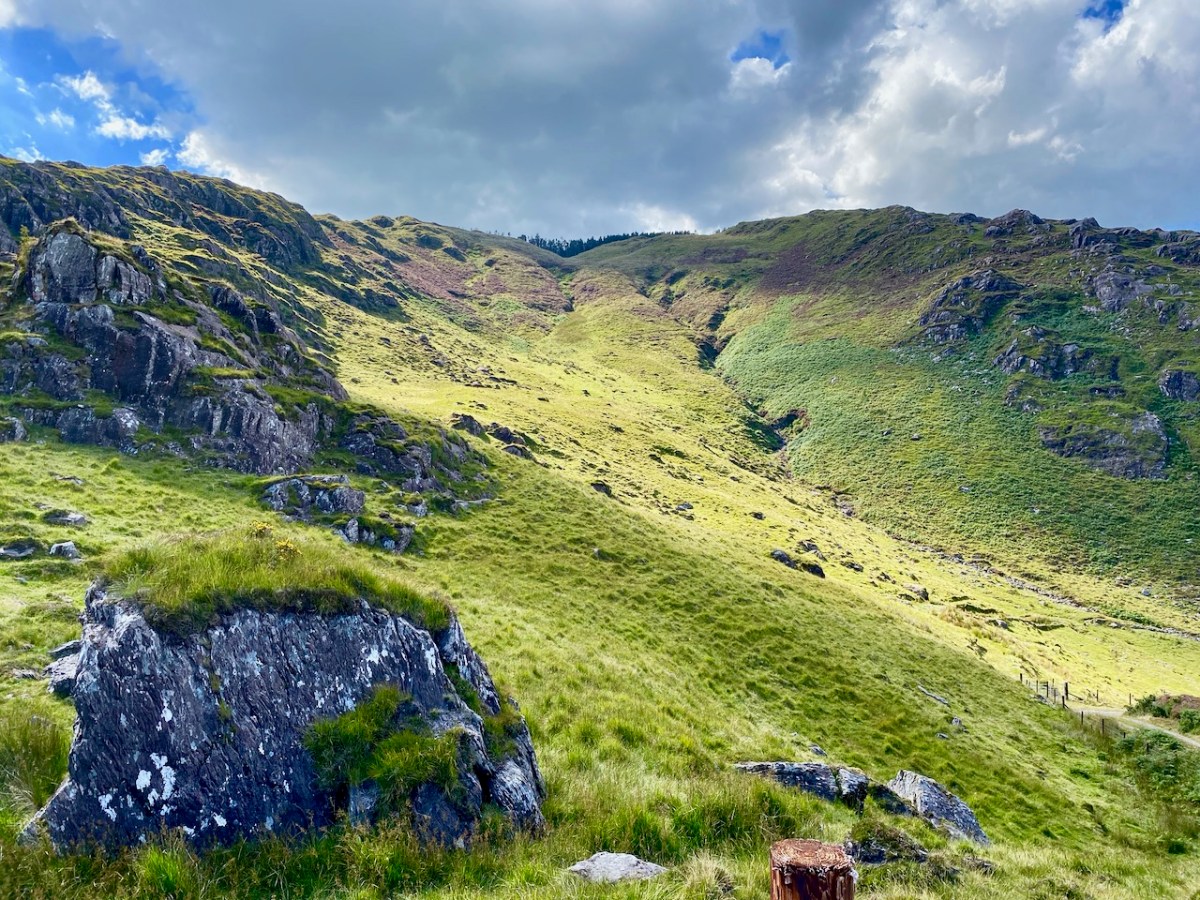
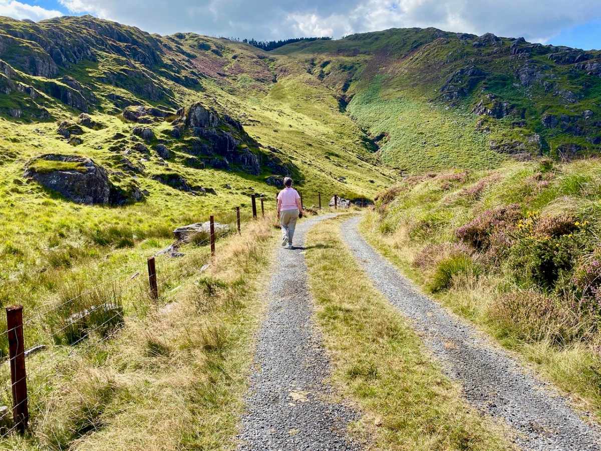
. . . In November 1951 I left Ballydehob to visit Castletownbere area, the future scene of our endeavours. Looking at the country between Glengariff and Castletownbere I wrote off the battle of the Schull area as a skirmish, as I felt that the real battle was here. Here were crags, crevices, canyons, woods, bogs, etc, which defied all exaggeration. W Trusick, the pegging engineer, was very much depressed at the thought of what lay ahead of him as we climbed up the winding road from Glengarriff to the heights of Loughavaul and beyond again to Coolieragh. However, when we topped the climb at Coolieragh the vista of mountain and sea that met our eyes gave us a temporary respite from our morose reflections . . .

ESB ARCHIVES

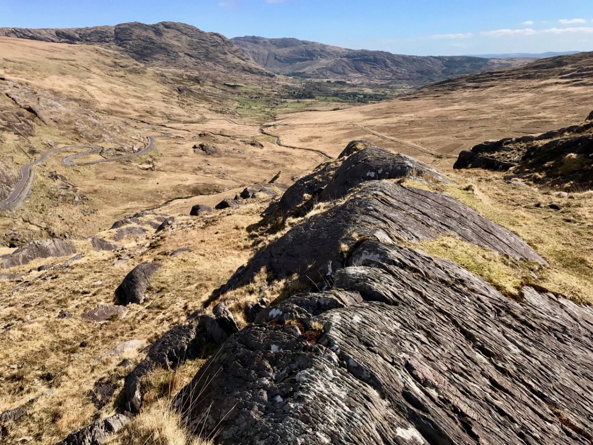
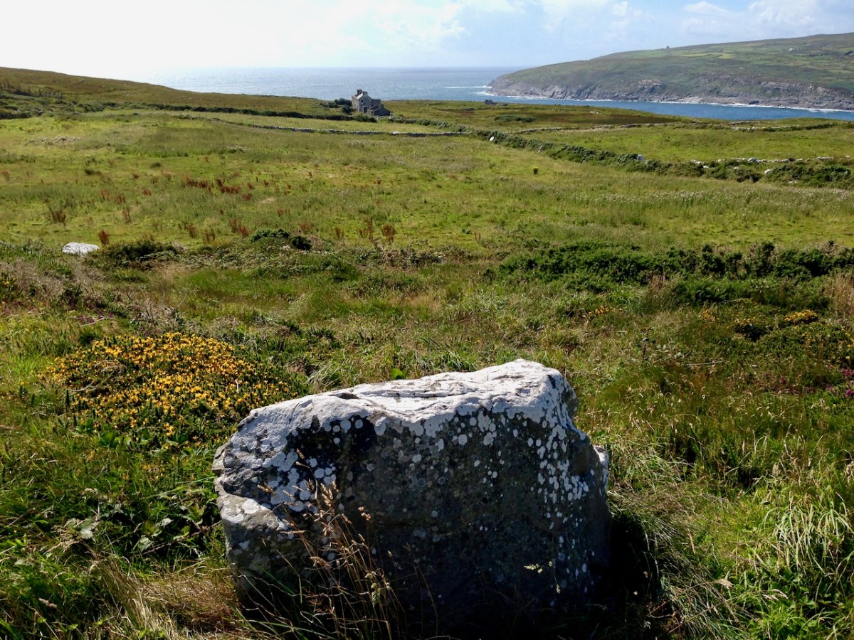
Extract from the reports of the Area Officer when works set out towards Castletownbere in late 1951:

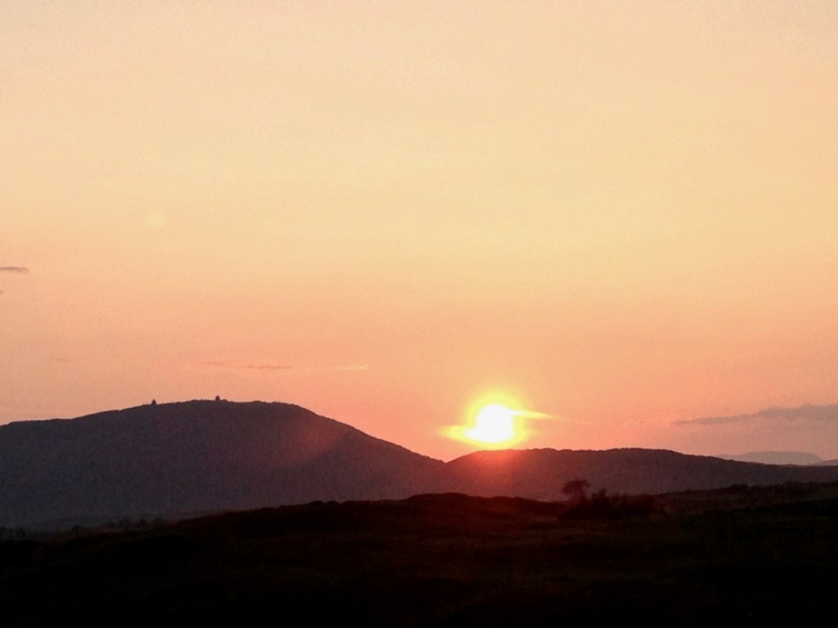
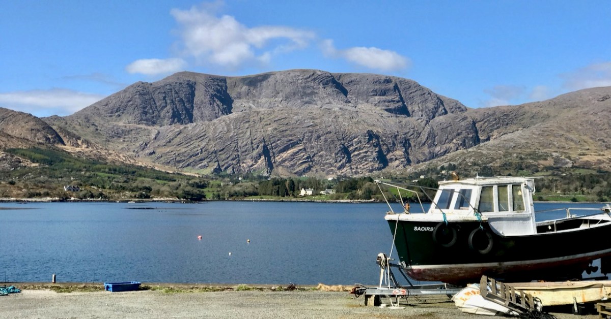
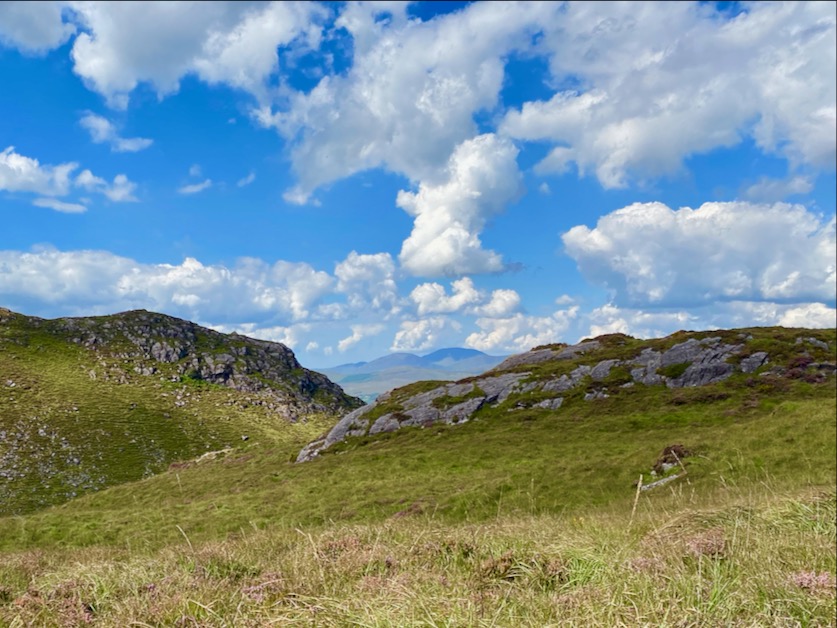
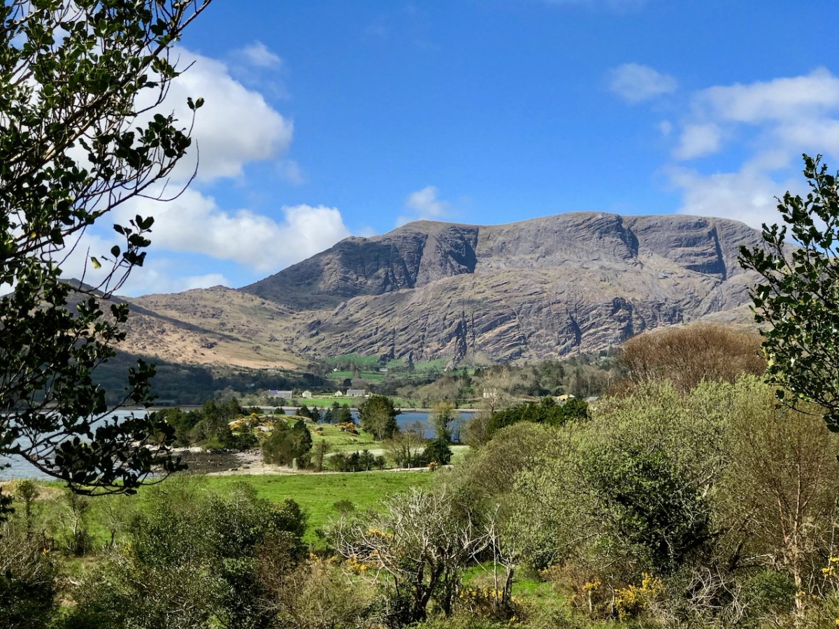
. . . Here was a scene that is hard to equal anywhere else in Ireland. Ahead of us lay the country of O’Sullivan Beara. Away in the distance lay Beara island like a sleeping monster resting on the sea, protected on the northern side by the massive bulk of Hungry Hill, and farther west by a ring of mountains whose western slopes dip down into the Atlantic Ocean. Behind us we looked across Bantry Bay at Bantry away in the distance sheltered by the bulk of Whiddy island. Nearer to us was Glengariff with its myriad of islets and heavily wooded hinterland, cosy and comfortable looking, secure in the shelter of its encircling mountains. On a cold November day in the weak wintry sunshine people do not stay long admiring scenery from such a dank vantage point as Coolieragh, and so we continued our journey westwards along by Adrigole, close to the Healy Pass, skirting the foot of Hungry Hill with its silver streak waterfalls and finally we arrived at the capital of the Beara Peninsula, Castletownbere . . .

ESB Archives

. . . Mr O’Driscoll and his crew in Dromahane, had apparently two major obstacles: First, the landed gentry who vehemently objected to the “beastly sticks” being put anywhere on their land: the second being a van which objected to moving under any circumstances whatever. Of the original 320 economic acceptances, 57 were ‘backsliders’, most of these being cottagers and small farmers. As an offset, 20 new consumers were gained, mostly having large premises, with the result that the total revenue was increased by £2. Only 20 premises were wired for outside light, due, in general, to the speed with which the contractors wanted to move from one house to another, and to their telling their clients that outside wiring could be done after they had been connected to the supply lines. Principal items sold in the area were 20 cookers, 30 irons, 20 kettles and 11 Milking Machines. Milking Machines are becoming increasingly popular in this area, solving as they do, the problem of milking on a Sunday when, normally, labour is not available. Mr O’Driscoll is doubtful if post development will meet with any marked success . . .

ESB Archives – DromAhane, Co Cork

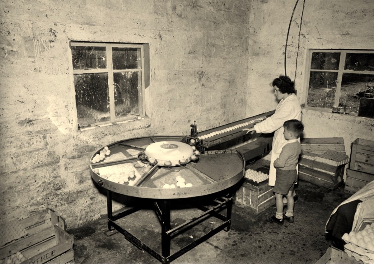
It’s intriguing that the reports in the ESB Archives from the time of installation so often represent negative views about the ‘success’ or otherwise of the rural electrification project (Mr O’Driscoll is doubtful if post development will meet with any marked success). It’s as if this ‘new fangled’ technology is never going to take the place of the way traditional life is lived in remoter places. With this viewpoint, the drudgery of manual tasks such as bringing in water from an outside source, cooking, washing clothes is likely to continue, with the housewife / farmer’s wife and their children having maximum input. It’s just as well that a more enlightened attitude prevailed in some places – here’s an early taker of the benefits of an electric egg sorting machine (ESB Archives):

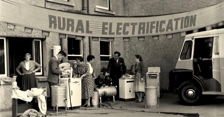
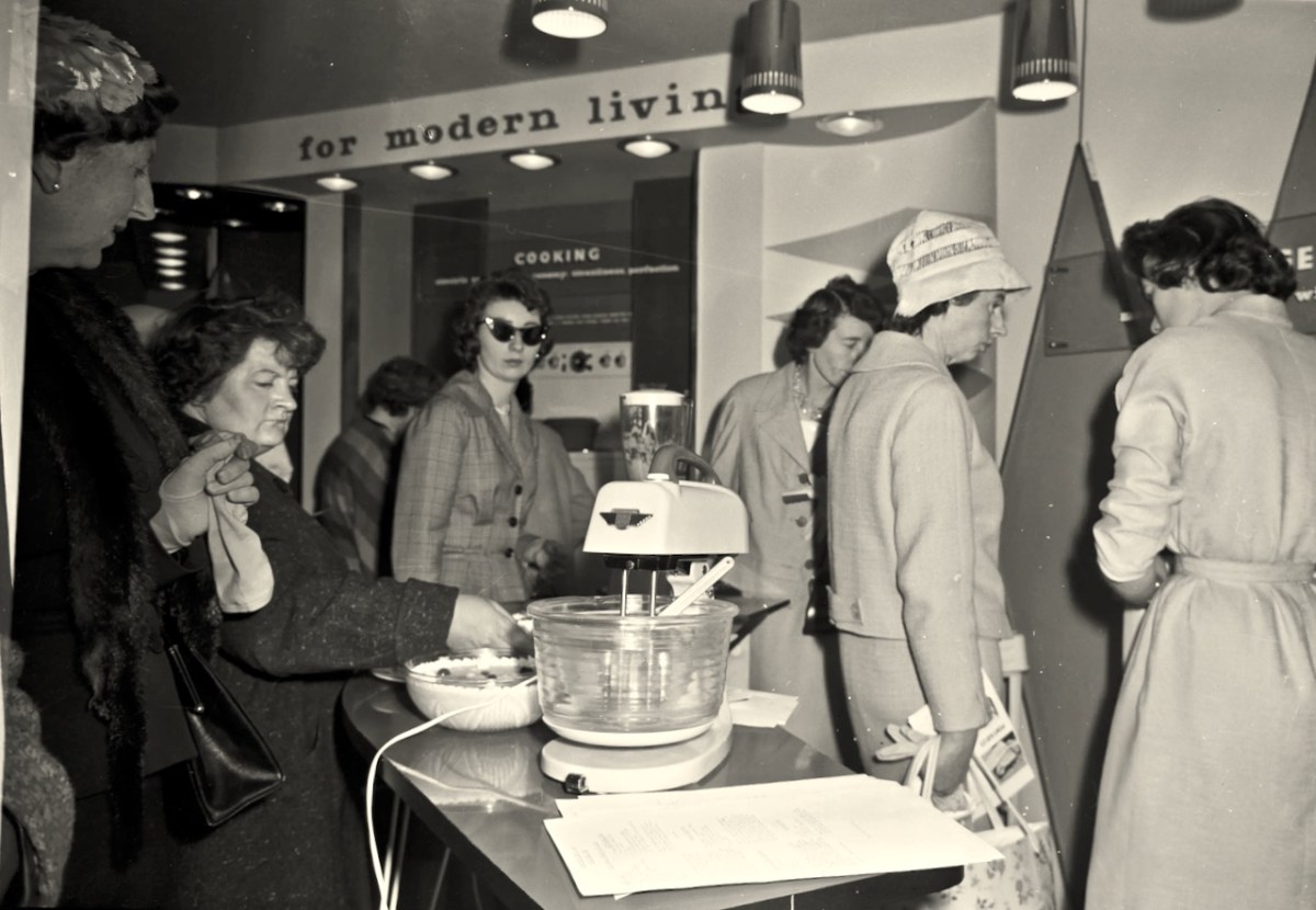
In urban areas, there was certainly enthusiasm for the improvements which ‘modern living’ offered (below). The new devices must have appeared exotic at first, but no doubt their benefits were instantly apparent to those who set their minds positively.

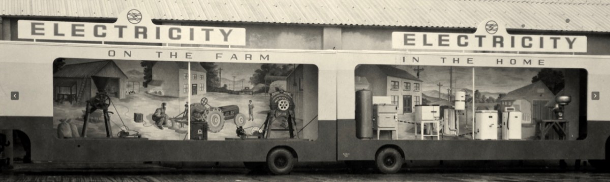
The heroes were the riggers and the geligniters, braving the elements and the raw landscape, to eventually bring power to the furthest reaches of rural Ireland (a task not completed, it could be said, until 1991, when Cape Clear – off our own West Cork coast – was connected to the National Grid). After those heroes came the dealers and traders. Someone had to provide all the water heaters, pumps, milking machines, refrigerators, cookers, washing machines . . . It was big business.

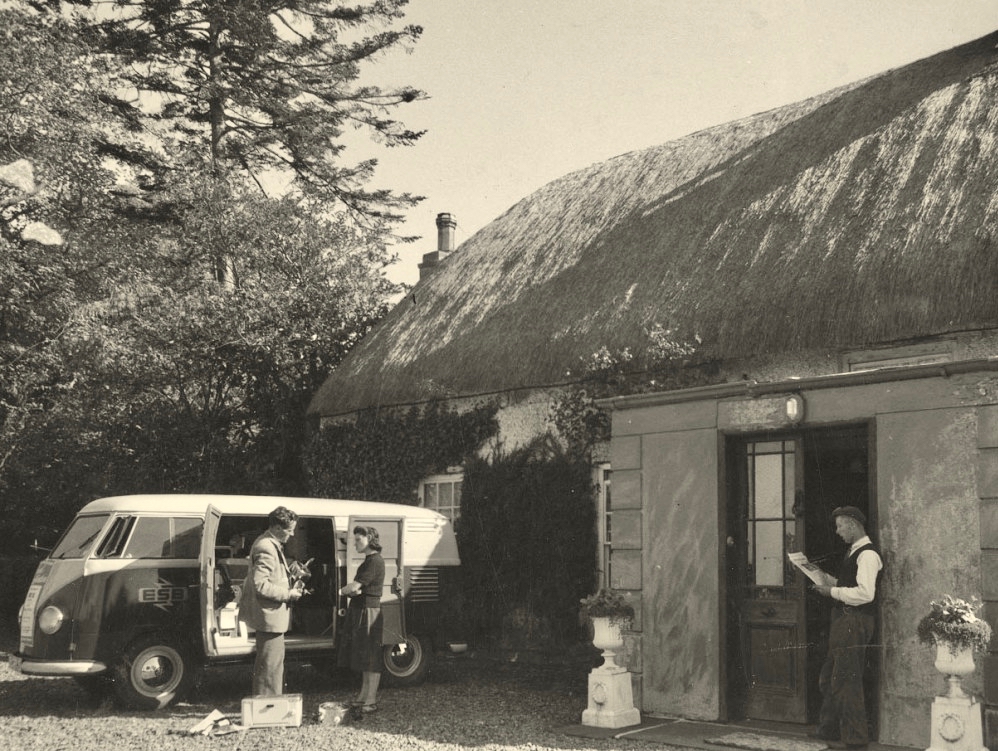
Above – an ESB salesman exercising persuasion on a willing customer. The man looks on! Below – interesting juxtaposition . . .

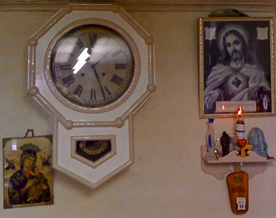
. . . Once a community was connected, or about to be connected, the ESB held public demonstrations of household appliances. These were then sold bringing electric irons, kettles, stoves to homes. The demonstration evening in Glenamaddy was held in January 1951. The handwritten report records that it took place “in the very fine Esker Ballroom”; these events were social occasions that brought communities together. The Glenamaddy evening “was attended by about 90, including 50 women. As is usual, the women appeared to be more keen than the men and more inclined to ask questions (and to argue). After the demonstration, a melodeon player turned up and an impromptu dance got under way” . . . Small towns and rural townlands became brighter and winters less harsh and Christmas more special as the fairy lights began to shine. It also gave rise to a rural Irish icon as every house had the Sacred Heart picture with the (electric) red lamp: many didn’t get a kettle and washing machine until later on . . .

ESB ARCHIVES

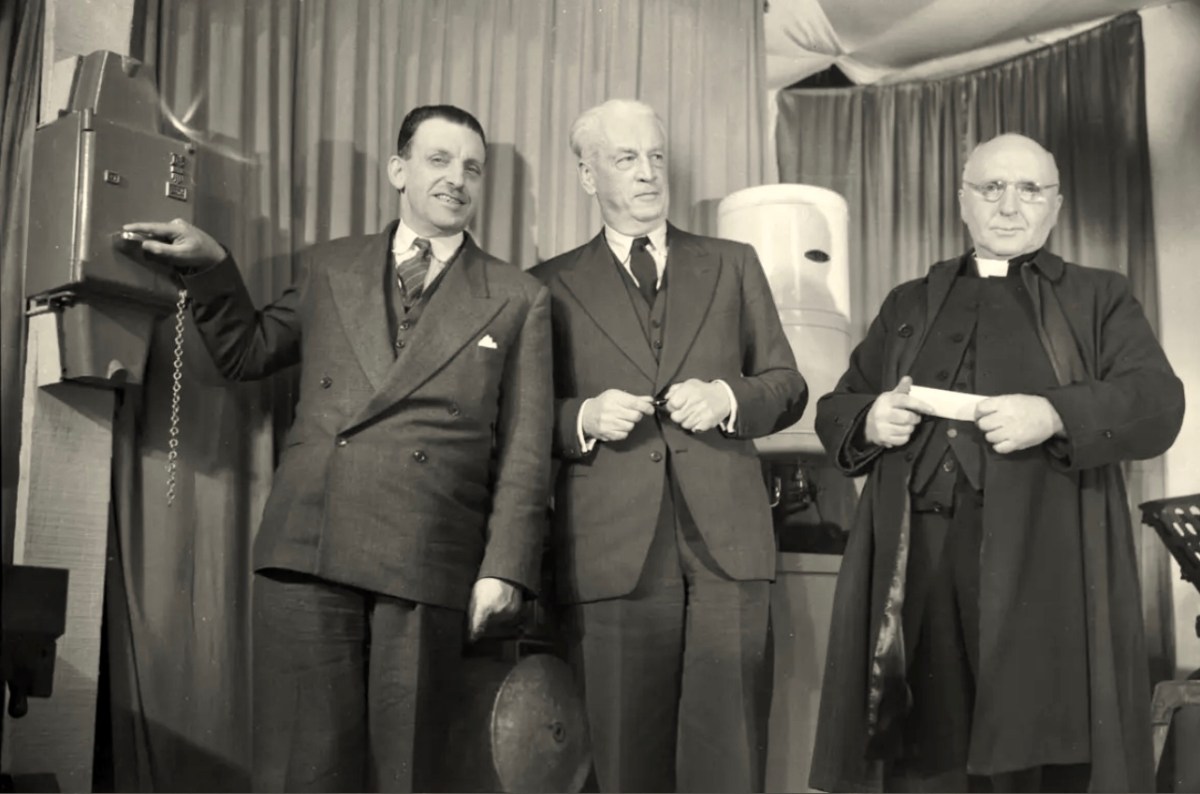
(Above) Seán Lemass – Minister for Industry and Commerce – performing the formal ‘switch-on’ in Ballinamult Creamery (Co Waterford) on 1st March 1954. This was the Electricity Supply Board’s 100,000th customer. Also in attendance are Mr R F Browne, ESB Chairman, and The Very Rev Father Walsh, PP Ballinamult.

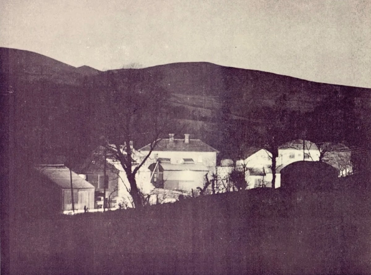
Above: “As the last rays of sun leave the hills, the lights go on at Ballinamult Creamery, the Board’s 100,000th Rural Consumer”

. . . In November, Miss Crowley of the ICA toured Sherkin Island and lectured in nearby Skibbereen giving her ideas on modern home-making and sponsoring the use of electricity to a great extent. The area demonstration at the end of November was very well attended and sparked off a keen interest in the various appliances on show, just as the connections in the area were commencing. ESB sales in the area are now in the region of £1,300 while contracts are on hands for six pumping installations . . .

ESB ARCHIVES

Thanks once more to Michael Barry for inspiring this brief study. Also to the ESB Archives, The Irish Story and Eugene McSweeney. Roaringwater Journal is always pleased to receive comments and contributions on any subject we take up.

Previous posts on Ireland’s Electrification:

Night’s Candles are Burnt Out

Electrifying West Cork

In High Places

Here is a collection of photographs taken in West Cork from some of the high places: ridges, peaks, mountain paths. The pics were all taken around ten years ago, and haven’t been used in our blog posts previously. They serve to show stunning landscapes, of course, and hopefully illustrate the variety of the country which surrounds us here. The header is taken from the peak above Three Castle Head.

The upper pic is looking down on Bantry town from the high ground to the south, while the lower one reminds you of the evening view from Bantry at sea level.

If you leave your car at Galley Cove Beach and walk up the steep track towards Brow Head you will come across this enormous stone row – and you will look back to the peninsula of Crookhaven. Don’t be fooled by the stones: they have been placed on this site fairly recently. They are impressive, nevertheless.

And here is a closer view of Crookhaven.

While turning from this spot and looking west, you will see the end of the coastline at Brow Head. This stone is likely to be more anciently placed. In the distance is Mizen Head with its Napoleonic era signal tower at Cloghane.

Contrasting light effects seen on the footpath that follows the ridge on the Sheep’s Head Way. That’s the spit of land that runs from east to west between the Mizen Head and the Beara Peninsula. There are cairns on the summits, with the remains of a wedge tomb and a Marriage Stone to be seen along the way.

The view north from the heights of the Sheep’s Head takes in the Beara Peninsula and – seen above – the high point of Hungry Hill dominating the distant rugged landscape.

You are never far from the coastline in West Cork. Look out for wild seas constantly sculpting the rocks over millennia.

From our home in Cappaghglass we look out to our own ‘high place’ – Mount Gabriel. This enigmatic tract of land dominates the area and is imbued with legends and folklore. It is also one of the most atmospheric of our peaks at all times of the year.

Another local view for us (above): we face out to Rossbrin Cove on the Mizen Peninsula. Finally, the celestial spectacle (below) finds its pot of gold on the shores of the Mizen.

The Storied Way to Beara

You know we love the beauty of West Cork, and we can’t resist the odd foray into all our neighbouring parishes. They are perhaps a bit wilder and higher, with markedly remote open spaces. So here’s a little wander on to the Beara Peninsula and beyond: I have raided our archive of photographs to enthuse us – and, hopefully you – to travel those roads in the coming spring. Firstly, have a look at this:

There’s a house down there, nestled under some spectacularly steep fields! This is to remind you that you have to up the scale a bit if you are stepping across the county boundaries. This Kerry landscape is such a contrast to our own seascapes and islands. We have our hills, of course: Mount Gabriel was in the news this week because of the gorse fires which lit up its summit. Such fires are allowed up until the first of March – by longstanding tradition – to clear the land and improve the grazing. It all seems a bit incongruous, though, when governments are planning to outlaw wood-burning stoves because they lead to poor air quality, and we are being advised by the HSE about the adverse health effects of air polluted by smoke and ash. Fire on Mount Gabriel 26 February 2023 – photo by Magnus Burbankscourtesy Southern Star:

Let’s leave that argument – and the drama – for others to debate, and return to the colour and spectacle of our neighbours. Below are fishing boats tied up in Castletown-Berehaven. You’ll note that ‘Iolair’ is registered in Skibbereen. If this seems strange, remember that our West Cork town on the Ilen River is still the Port Of Registration for all shipping on the south-west coast of Ireland between the jurisdictions of Cork and Limerick. My recent post on the Ilen described Skibbereen as “. . . a settlement served by water . . .” with perhaps up to nine historic quays and a Custom House located within the town in its heyday of commercial vessels working on the river. Present day Shipping registrations are administered by Customs & Excise in Bantry, even though the prefix ‘S’ (for Skibbereen) is still used – a somewhat quirky anomaly: the Custom House in Skibbereen was closed in 1890!

The people of the Beara Peninsula quite likely think of themselves foremost as an entity, rather than a mixture of Corkonians and Kerry people. In Eyries a Seanchaí – or storyteller – is celebrated: Pádraig Ó Murchú. His story is a somewhat sad one, certainly not untypical of many remote areas in Ireland. He was born in Gort Broc (Gortbrack, Co Kerry – north of Kenmare Bay) on 15 February 1873. His parents were Seán Ó Murchú whose wife Máire Harrington. (‘Caobach’) and he had four sisters and two brothers. Five of them, the boys and three of the girls, went to Butte, Montana. Seán died in Gort Broc at the age of 47 when Pádraig himself was a young boy. None of his forebears ever returned home but he would receive a letter every now and then from one of his aunts. Folklorist Martin Verling states that 707 men and 431 women emigrated to Butte from the parish of Aorí between 1870 and 1915. An account of how his great-grandfather, Seán Ó Murchú, settled in Kerry was taken down from Pádraig’s mouth (or Patsy as he was called): Seán was abducted by one of the ‘Cithearnaigh’ (a name given to certain Irish landlords in Beara) in Kerry and sold in France as a slave. When he managed to escape, he landed in Beara.

Commemorating Pádraig Ó Murchú in Eyries

Measles affected Pádraig’s eyesight so badly that he was given a blind pension; ‘flickering’ left him unable to read or write. He spoke English fluently, with Irish his native tongue. Until she died in 1923 his mother lived with him, and it fell to him to tend to her during the decline of old age. He earned his living by farming and fishing and was always in good health, apart from his eyesight. Writer and folklorist Máirtín Verling recorded memories of him from men who were young boys during Pádraig’s old age. Pádraig was part of a culture now vanished, and Verling states “. . . the day Pádraig Ó Murchú was lost as an old man – the habit of storytelling, and the habit of speaking Irish, died together in Béarra . . .”

Map of the Beara Peninsula from the Royal Society of Antiquities of Ireland, T J Westropp 1919. Principal archaeological sites are indicated.

These Beara landscapes are typical of the remote grandeur of the territory. Human settlement has encroached upon it – the patchy forestry plantations above are unnatural and uninspiring – but there are sufficient wild prospects remaining to ensure that the all-embracing beauty can never be eroded. Plenty of living history remains in evidence.

Archaeology, colour and community are all part of the local scenes on the Beara. The tourism industry is undoubtedly thriving, bringing fresh life with it.

We hope you will agree that the Beara – whether it’s Cork or Kerry – is deserving of a visit – and a stay: you have to delve deeply into the lifestyle and traditions. Enjoy!

(Above – the work of stained glass artist George Walsh. A visit to the little church in Eyries to take in more of this is a must)

Finding The Cailleach

It’s midwinter here on the shores of Roaringwater Bay. It brings hard frosts (above – Rossbrin), clear days and spectacular skies – we caught the one below in 2020:

Winter is the time of the Cailleach.

. . . The Cailleach is the goddess of the winter months and is said to control the weather and the winds as well as the length and harshness of winter. Depicted as a veiled hag or an old crone, with one eye and deathly pale skin, she is said to have a bow-legged leaping gait, striding across mountains with a power to shape and transform the landscapes as rocks fall from her gathered apron . . . The Cailleach, or the Hag, has been feared and revered across Celtic cultures in Ireland, Scotland and the Isle of Man, for hundreds of years. She is called Beira in Scotland, and has strong associations with the Beara Peninsula in Ireland, which straddles County Cork and County Kerry . . .


https://en.wikipedia.org/wiki/Cailleach

The Hag of Beara petrified in Hag Rock (above): she forever looks out across the Beara. Below – this is the Hag’s permanent view over her landscape.

Lest there be any doubt about the Hag’s longevity, this is instructive:

. . . There is a tale of a wandering friar and his scribe who came to the old woman’s house. He inquired as to her great age, which he had heard stories of. She replied that she didn’t know, but that every year she killed an ox and made soup from the bones—and perhaps they could gauge her age by the number of ox bones thrown up in the attic. The young scribe climbed the ladder and threw the bones down one by one for the friar to count. The friar duly made a mark on his paper for each bone, and a great pile of bones grew until he had run out of paper. He called up to the young scribe, who replied that he had not even cleared one corner of the pile of bones, such was the great age of the Cailleach . . .

https://www.irishcentral.com

Above – The Wailing Woman (courtesy of Ronan Mac Giollapharaic) – dramatically depicts another Hag rock, overlooking the Skelligs on the Iveragh Peninsula, Co Kerry. It is a given that Cailleach is one of Ireland’s most ancient inhabitants. Even older, in fact, than Cessair, Noah’s grand-daughter, who we know arrived on our own West Cork shores some five thousand years ago. With her in her Bronze Age crew were her father – Bith – and Fionntán, together with ‘a large company of women’ whose combined purpose was to repopulate the world after the Great Flood.

. . . Legend has it that Fintan the Wise of the hundred lives accompanied Noah’s granddaughter, Cessair, to Ireland before the great Biblical flood. He thought himself the first to set foot on the island but found Cailleach living there, and could see she was far more ancient than himself. He is said to have asked of her, “Are you the one, the grandmother who ate the apples in the beginning?” but received no answer . . .


https://www.irishcentral.com

The Cailleach rules over the the dead of Winter (above – Rossbrin Cove in that time). If you research the Schools Folklore Collection you will find over 830 entries referring to her: many are recorded in Irish.

. . . An Cailleach Béarach according to tradition was supposed to be a witch who is believed to have erected most of the round towers and castles in this country. Tradition tells us that she built each of those buildings with three pocketfulls of stones. As well as being a famous builder, she is believed to have been a great mower. At the time of her death, it is said, she was 121 years and one day . . .

Schools Folklore Collection – Informant Mrs J Peyton Aged 58

. . . The Cailleach Béarach started one day mowing with a score of men. The men led off & she took up the rear. After an hour’s work, she caught up to the man who was last and mowed off his legs from above the ankles. She continued the work until she caught up to the man who was second last & she cut off his legs also. This procedure continued until all the men but one had their legs cut off. At this stage, they went to their dinner . . .

SCHOOLS FOLKLORE COLLECTION – INFORMANT MRS J PEYTON AGED 58

The most frequently occurring references to the Cailleach are her feats in sculpting the landscape. Many features in the west of Ireland are attributed to her work.

. . . There is a hill in this locality called Keash Hill. Caves at the back of this hill are still pointed out as places where giants lived. Nearby there is a hollow with a flag flooring which is called the “Giants’ Table” and likely it is here they cooked and eat their food. Running parallel to this hill and at the back of it is a place called “Dun Ui Bhéara” where the Cailleach Bhéara is supposed to have lived. Old people tell stories of a fight between the Cailleach Béara and one of the giants. He stood on the summit of the hill and fired stones down at her. She lifted stones and earth and fired them up at him. The stones that reached the top of the hill form a “cairn” which is still to be seen. The place from which they were taken formed a small lake which remains to the present day. Some time ago if children were bold their mothers threatened to tell Cailleach Bhéara and immediately they got quiet. She was able to walk across Lough Arrow and the waters at their deepest part just reached her arm pit . . .

SCHOOLS FOLKLORE COLLECTION – INFORMANT MR James Benson, Kesh, Co Sligo

. . . When the Summer came the Cailleach Bhéara drove the bull out to the grassy parts of Béara. One day when the bull was being driven out, he heard a cow lowing in Kerry, so he started off towards her. The Cailleach went ahead of him, but he jumped into the tide and started to swim for Kerry. The Cailleach struck him with her wand and as she was doing it, the bull called the cow, and her calf with him, and they form the Bull, Cow, and Calf rocks now . . .

SCHOOLS FOLKLORE COLLECTION – INFORMANT Danial Houlihan, Croumphane, Eyeries

Finally, we must not overlook a poem written by Pádraig Pearse, one of the leaders of the Easter Rising in 1916. Pearse was executed on May 3 in that year – aged 36 – for his part in this ‘rebellion’. In this photograph, Pearse can be seen reading the oration at the funeral of the Fenian Jeremiah O’Donovan Rossa on 1 August 1915. I am completing this post with the words of Mise Éire, written by Pearse in 1912.

Mise Éire:
Sine mé ná an Chailleach Bhéarra

Mór mo ghlóir:
Mé a rug Cú Chulainn cróga.

Mór mo náir:
Mo chlann féin a dhíol a máthair.

Mór mo phian:
Bithnaimhde do mo shíorchiapadh.

Mór mo bhrón:
D’éag an dream inar chuireas dóchas.

Mise Éire:
Uaigní mé ná an Chailleach Bhéarra.
I am Ireland:
I am older than the Hag of Beara
.

Great my glory:
I who bore brave Cú Chulainn.

Great my shame:
My own children that sold their mother.

Great my pain:
My irreconcilable enemies who harass me continually.

Great my sorrow:
That crowd, in whom I placed my trust, decayed.

I am Ireland:
I am lonelier than the Hag of Beara
.
Mise Éire – Patrick Pearse – 1912

Sun’s Out! A Further Look at The Beara

A few years ago, on one April day after a bleak, harsh winter that had gales, hurricanes, blizzards and unceasing bitter east winds thrown at us – the sun came out! We were out too, and headed up to the Beara Peninsula to see if we could remember what sun-soaked landscapes felt like… They felt great!

Header – the glories of Cork and Kerry combine on the spectacular Beara; top photograph – finally, after a long,harsh winter, we see the spring blossoms appearing; middle – a wayside shrine on the road out from Glengariff; bottom – Hungry Hill dominates the views as we head west on the peninsula

You will remember our previous visits to the Beara: there are not enough superlatives for what it has to offer in the way of stunning scenery and colour. None of these photographs have been enhanced – what you see is exactly what we saw on the day – and it’s what you will see, too, if you choose aright (although even on dull days we always find plenty to interest us).

Top photograph – St Kentigern’s Church is in the centre of one of Ireland’s most colourful villages; middle – the sunlight plays games with the beautiful windows by glass artist George Walsh; bottom – light from the windows dances on the pews

We knew where we were going: Finola was keen to revisit the little Catholic church of St Kentigern in Eyeries, which has a fine collection of windows by George Walsh: it’s a gem – and at its best for the quality of the light enhancing it on the day. I wanted to see the settlement itself in the early spring sunlight as it’s one of the most colourful places in the whole of Ireland! Neither of us was disappointed.

Just a taster of the treats in store in Eyeries: on a beautiful spring day there was hardly a soul around, but we were still able to find an ice cream in O’Sullivan’s!

Our second objective was to travel into the hills and find Ardgroom Outward stone circle. The trail involves farm gates, stiles and a lot of mud – but the 9 stone circle (named locally ‘Canfea’) is a fine, almost intact monument with wide vistas to mountain and sea. The impressive outlier stone is 3.2m in height.

The magnificent Ardgroom Outward (or ‘Canfea’) stone circle is accessible via a marked, boggy path: the vistas from the site make the journey worthwhile. Finola is dwarfed by the huge outlier!

It’s barely a skip up to Eyeries from Nead an Iolair, so we had to carry on around the peninsula and take in the almost surreal views of oceans, lakes and mountains before dipping into Kerry and then heading over the top back into Cork county and down the Healy Pass – surely one of Ireland’s most spectacular road trips.

Returning home – with the evening sun setting gloriously over Roaringwater Bay – we reflected that there can’t be many places in the world where a single day can offer such a feast to satisfy all the senses.

Well Off The Well-Trod Track

Not long ago I reported on some ‘small road’ works close by our home in West Cork. Whenever we travel here in Ireland, we are on the lookout for ‘byways’ … very narrow routes, seldom used, but which often traverse the most scenic landscapes. For some – such as today’s example – you have to be fairly brave, and prepared to travel a long way in reverse if necessary!

We were coming back from a day out in Kenmare, aiming for our West Cork home. There’s a corner of the Beara Peninsula – within Kerry – that we had never explored before so we headed out to revisit the little church at Dawros, Tuosist parish. We have always been fascinated by the stone basin that is in the church grounds, mounted on crude pillars – I have seen it described as a ‘baptismal font’:

From the church we went north, over a mountain road which eventually connected to the main N71 towards West Cork, Glengariff, and home.

It looks straightforward enough on the Google map – and there are no turnings, so you can’t get lost! The winding route from Dawros to the N71 is about 10 kilometres. If you could go in a straight line it would be about half that distance! During our whole journey on that mountain road we didn’t see a single vehicle (but we can’t guarantee that would always be the case).

The early OS map (upper) and aerial view (lower) give an impression of the topography over part of the route. The field boundaries are fascinating – and obviously ancient: sweeping linear enclosures cascading down the slopes. From the early map we can see that the road we travelled (known in part as Gortnabinny Road – marked in green) did not actually reach the main Kenmare to Glengarriff road in those times. It presumably just served remote settlements and lonely holdings.

It couldn’t have been a better day for the drama of sunshine and clouds that outlined the valleys and hills. There is little sign, here, of a drought that is causing problems on farms and in town gardens. When distant views opened up, we were treated to some of the finest vistas in our counties.

Against the drama of the surrounding peaks we felt secure in our little vehicle which progressed steadily along the narrowest of boreens. Our only living companions in this place were sheep, easy to discern because of their brightly dyed coats.

While driving on roads such as this is a richly rewarding experience, you also need to get out and encounter the wildlife close-up.

We are always on the lookout for adventures, and we don’t have to be travelling far away from home in order to find them. In our experience, the ‘small roads of Ireland’ – wherever they are – can take us to unexplored territory.