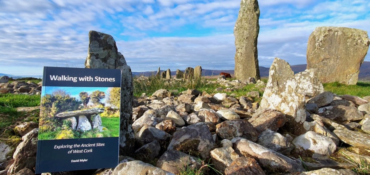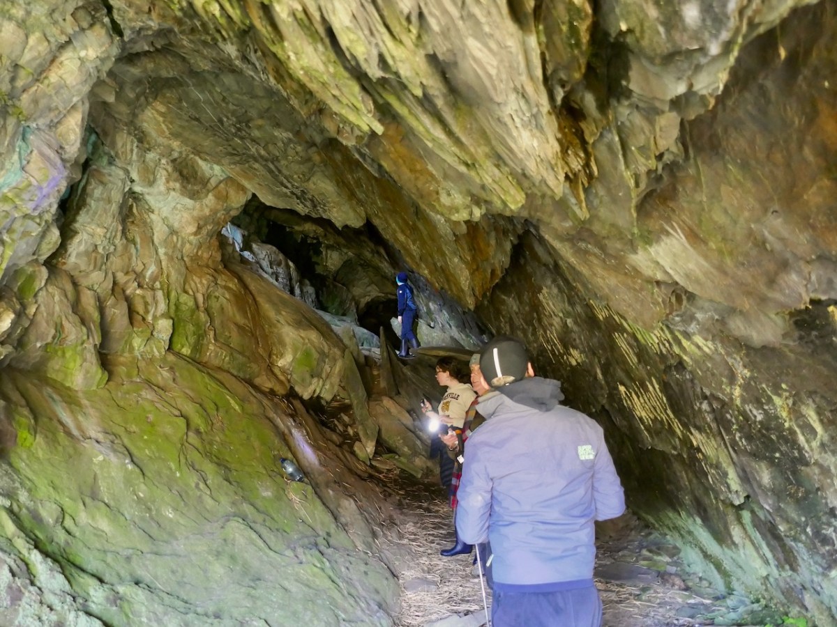
This is an update of a post originally published a while back. I’ve added a holy well (to finish your day off right) and some new photographs, and deleted some out-of-date information. I’ve also provided a list of informative posts about the monuments you’ll be seeing at the end.
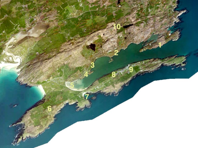
West Cork is loaded with prehistoric monuments but many are on private land or inaccessible. So we’ve planned a day for you in which you can have a Grand Day Out and a tour through some of the best West Cork archaeology sites. Load the kids into the car, stick Discovery Map 85 in your pocket (or print out the one we’ve provided in this post), bring boots or wellies, and off you go! By the way, we advise leaving the dog at home when on a field trip like this, since you will be visiting private farm land which will likely have cattle on it.

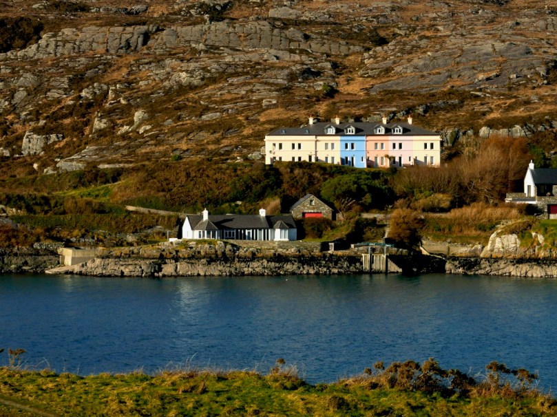
Our starting point is Ballylicky – here’s your opportunity to pick up a picnic at the marvellous Manning’s Emporium, while you fuel up with a pre-trip latte. Ready now? First stop is Mill Little.
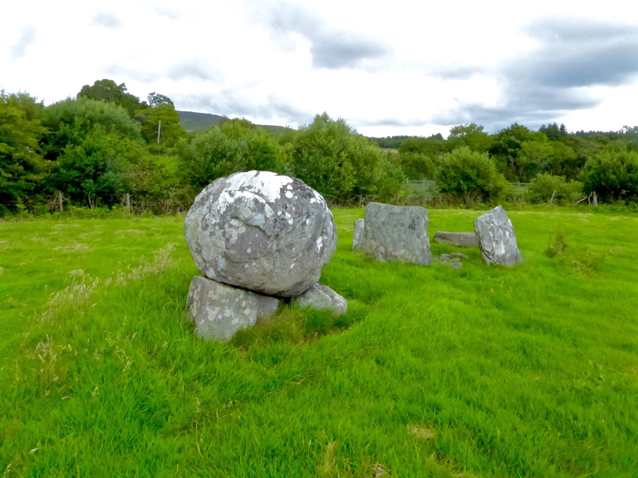
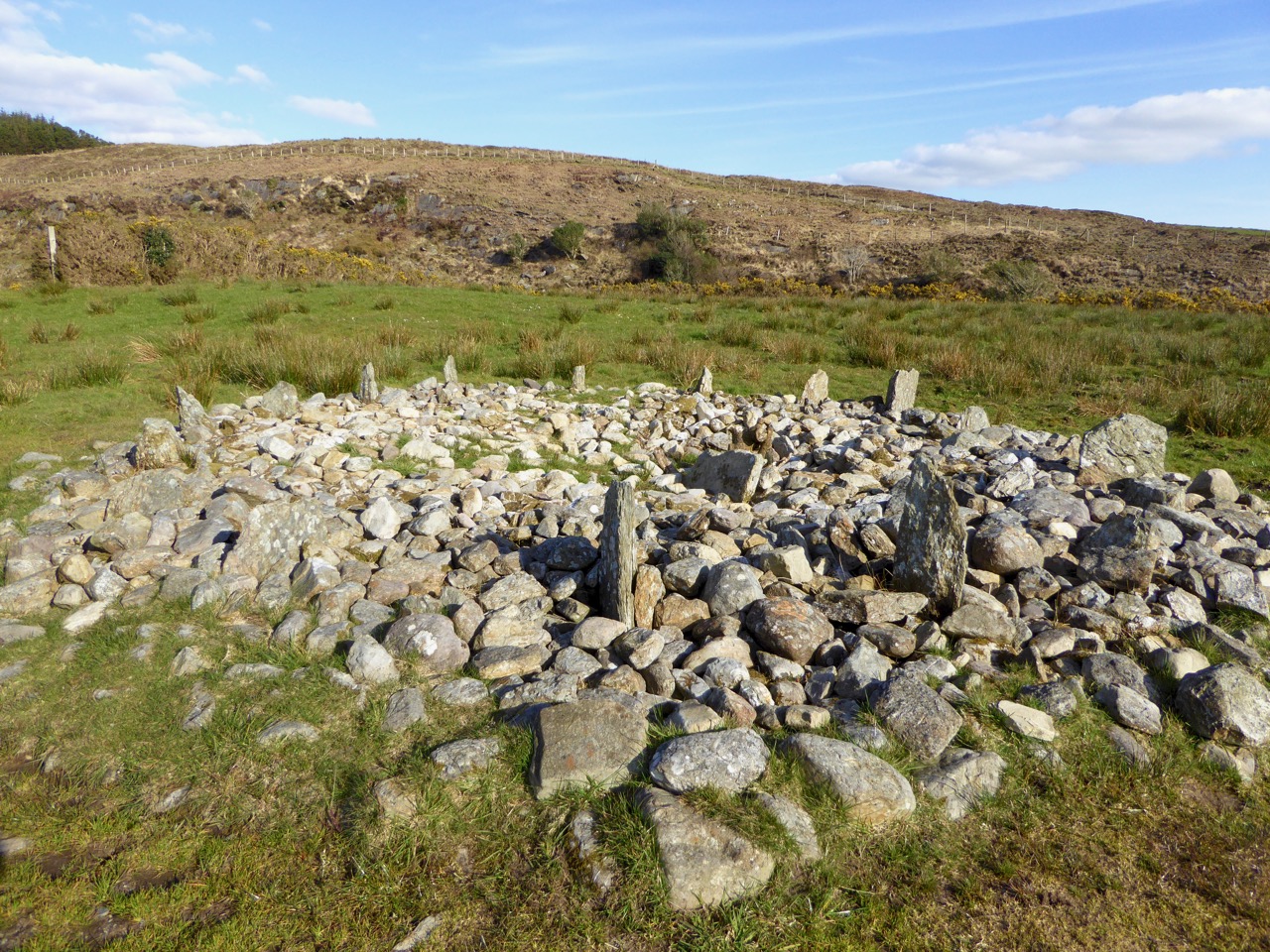
1 Mill Little Complex
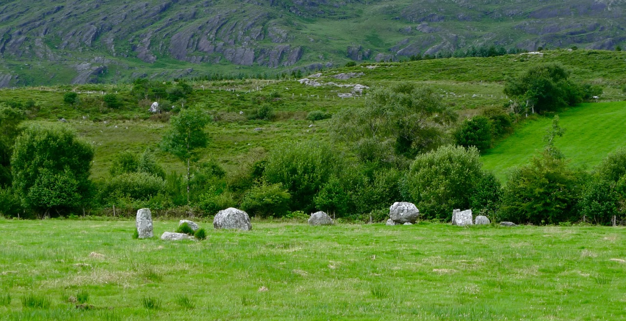
From Ballylicky, head west along the scenic seaside road towards Glengarriff for a couple of kilometres and take the first turn right at Snave. You’ll be following the Coomhola Rive as it tumbles down between high hills. Once you’ve crossed Snave Bridge continue for a about a km, take the second left and then immediately right. One km on, take a left and then the next right. Park along here and the Mill Little complex is in a field on the left.

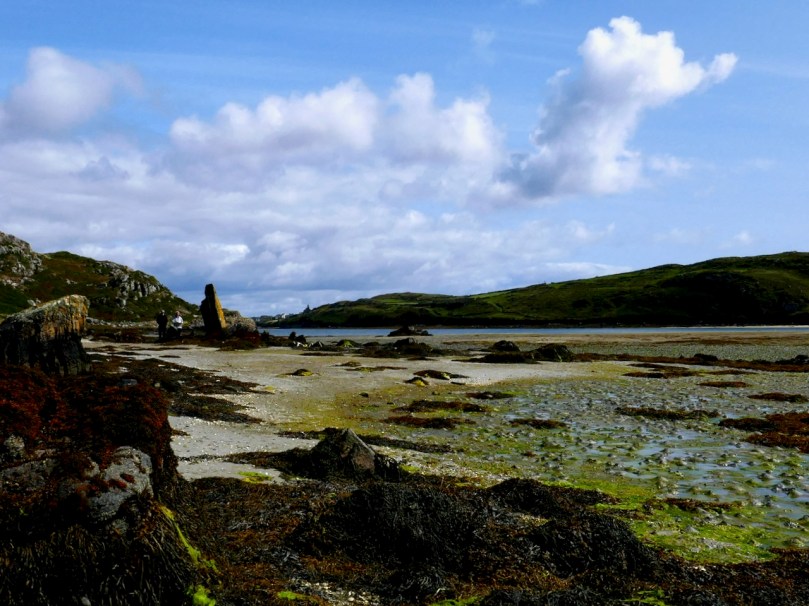
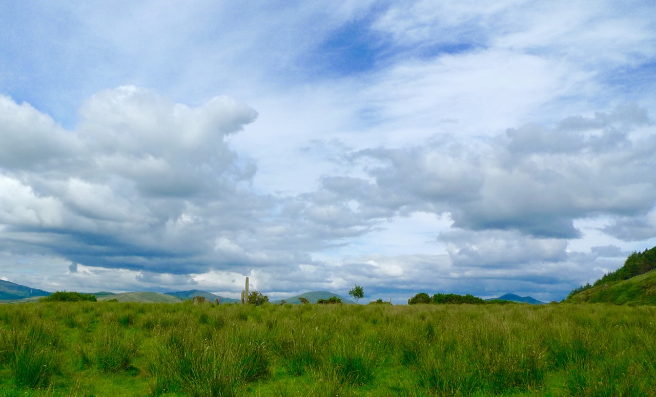
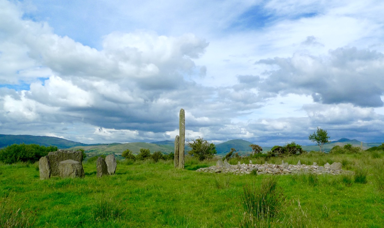
This is a complicated site, comprising a stone pair (don’t be confused by the other stones around the pair, which have been piled here), three boulder burials, and a small five-stone circle. All these monuments probably date from around the same time – the Bronze Age, about three to four thousand years ago. A particular feature of West Cork archaeology is that boulder burials, standing stones (single, in pairs, or in rows) and stone circles are often found together. Stone circles and stone rows are oriented towards significant solar events, such as the rising solstice sun or the setting sun at an equinox. In the Mill Little stone circle the alignment over the recumbent is NE/SW. At a site like this, it is possible that all the features formed a large observational arena, with the stone row, boulder burial and stone circle providing multiple alignment possibilities and marking both solar and lunar events.
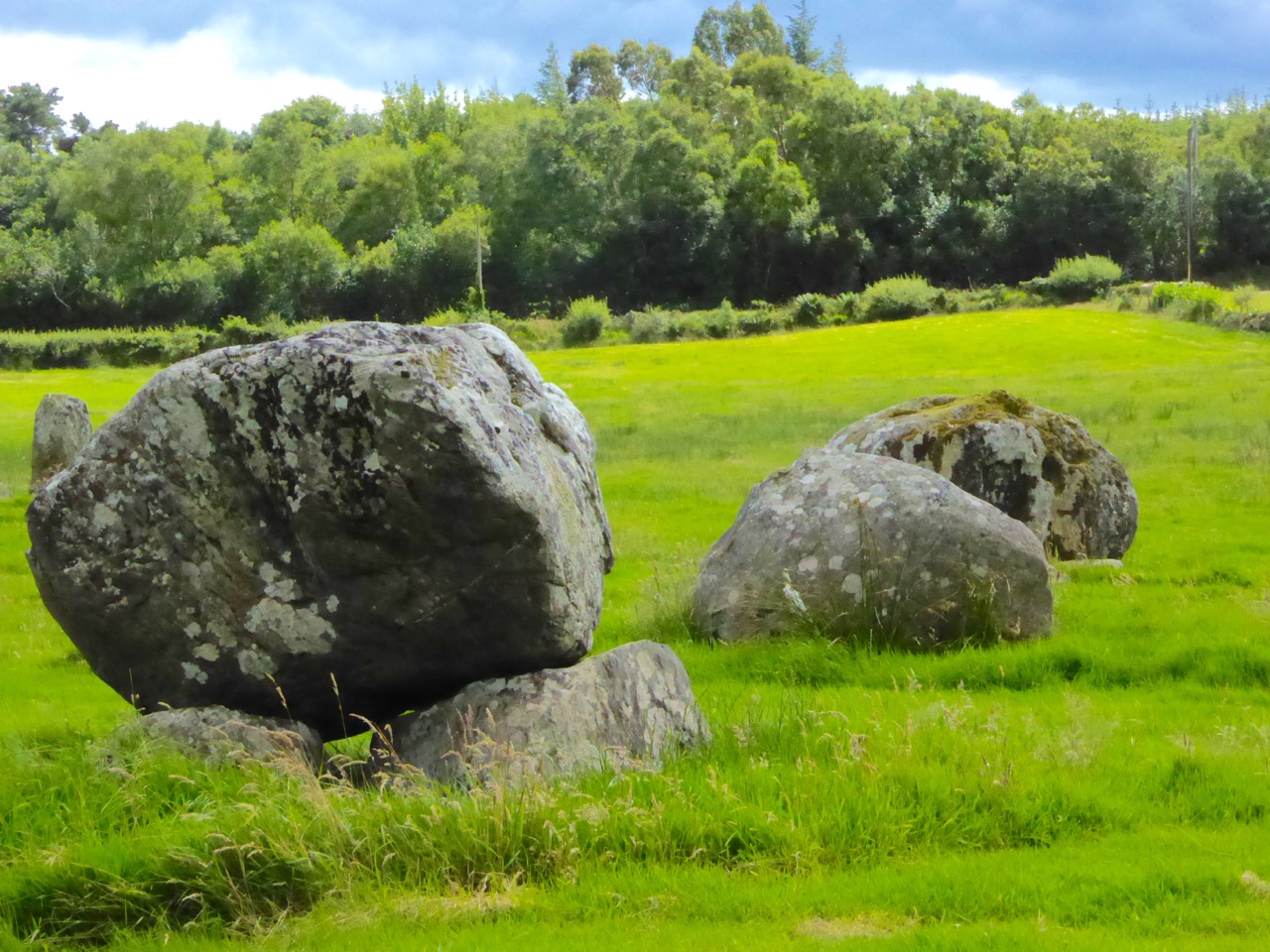
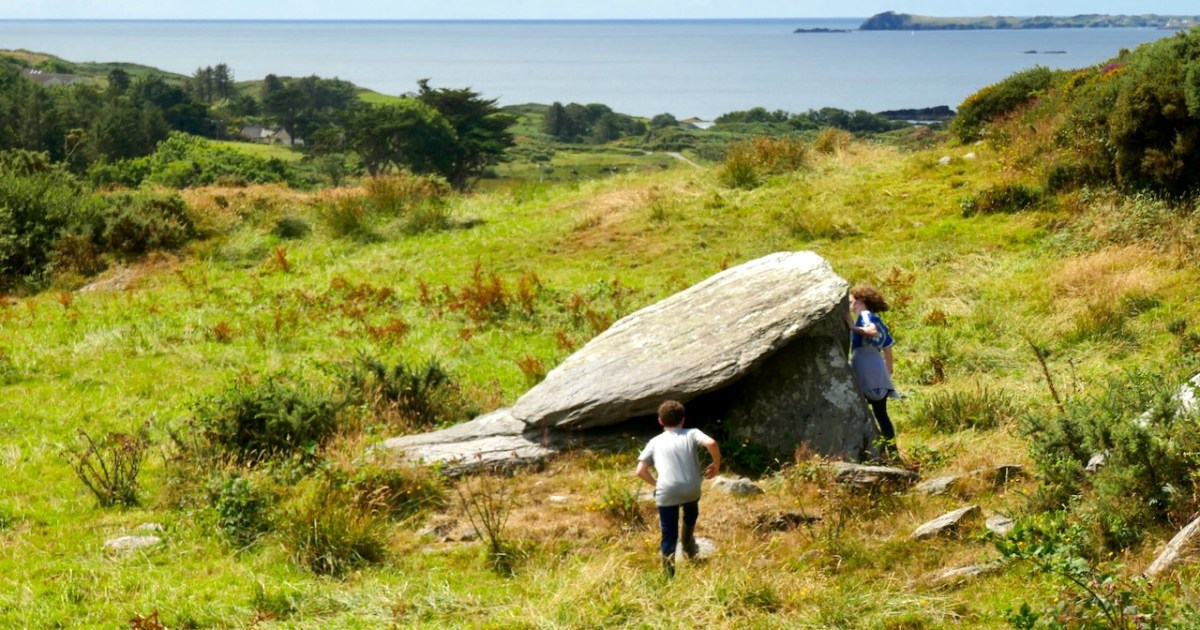
The boulder burial nearest the stone circle is the most classic in appearance – a large glacial erratic sitting on top of three support stones. Excavations at boulder burials in West Cork, however, haven’t really yielded evidence of actual burials – perhaps the term is a misnomer!
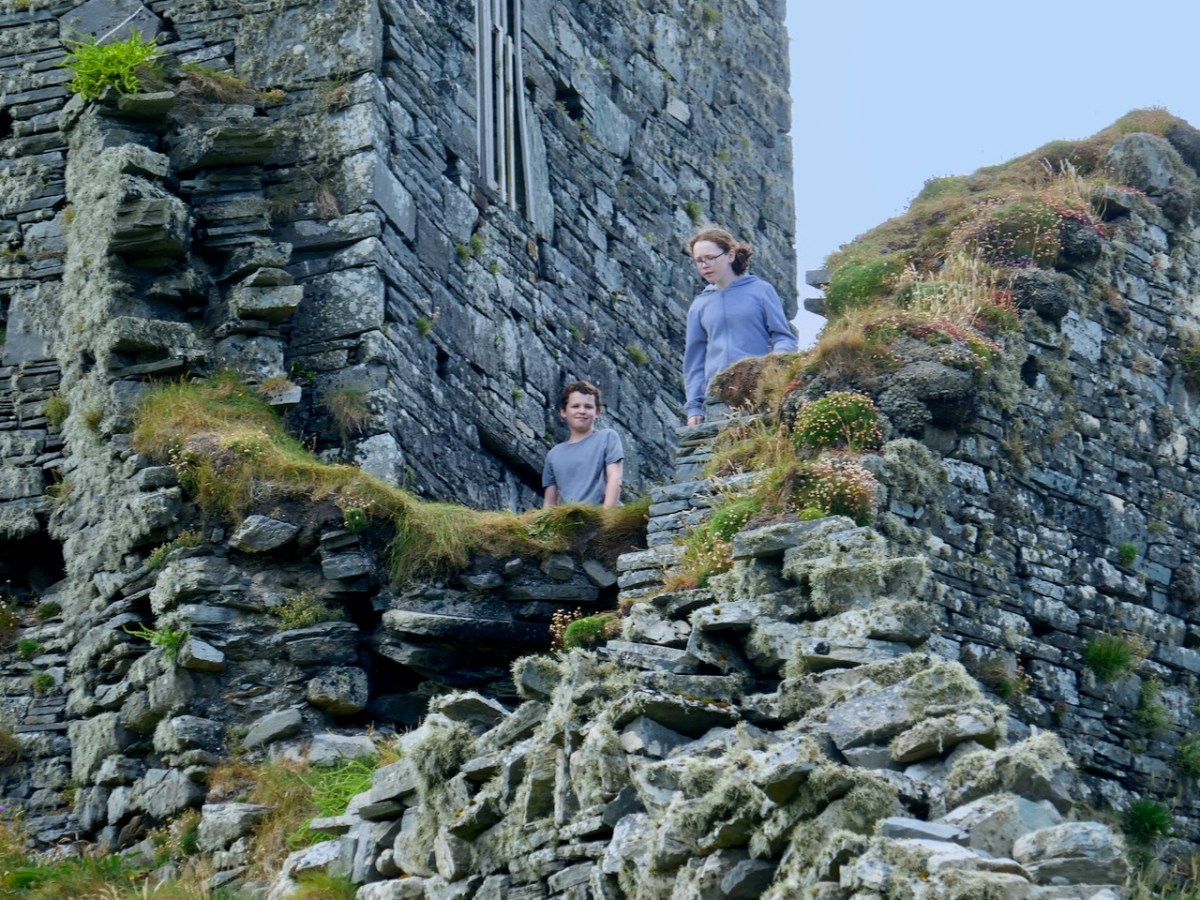
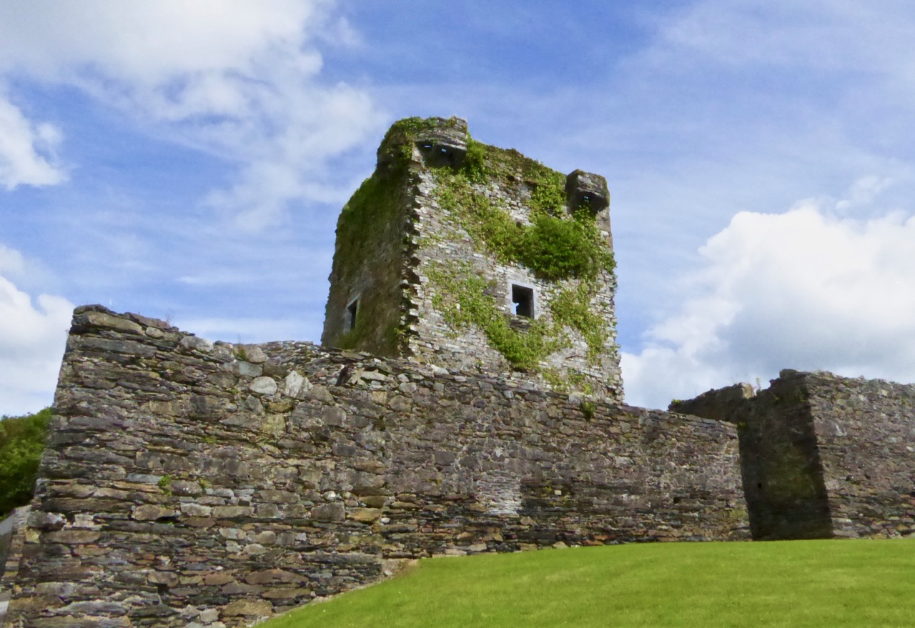
2 Carriganass Castle
Retrace your steps back towards Ballylicky and take the road to Kealkill – or try an overland route using the map. At Kealkill take the last fork signposted to Gougane Barra and you will see Carriganass Castle almost right away.
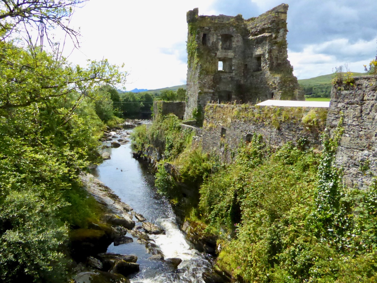
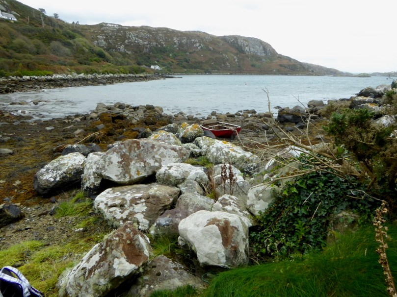
Carriganass is an excellent example of the medieval tower house – take a look at the posts linked below (at the end) for more about these structures in West Cork. There’s easy parking around the back and lots of explanatory signs around the castle. This is a good place for a picnic, or you can wait until after you’ve been to Maughanasilly, since you come back this way. If it’s a hot day, such as we’re experiencing right now in West Cork, the kids will enjoy a dip in the river here.
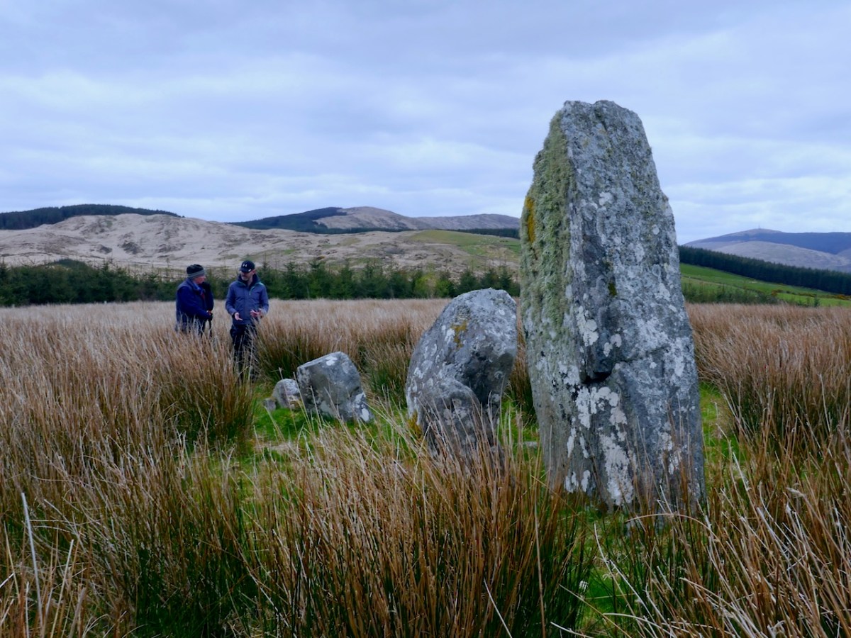
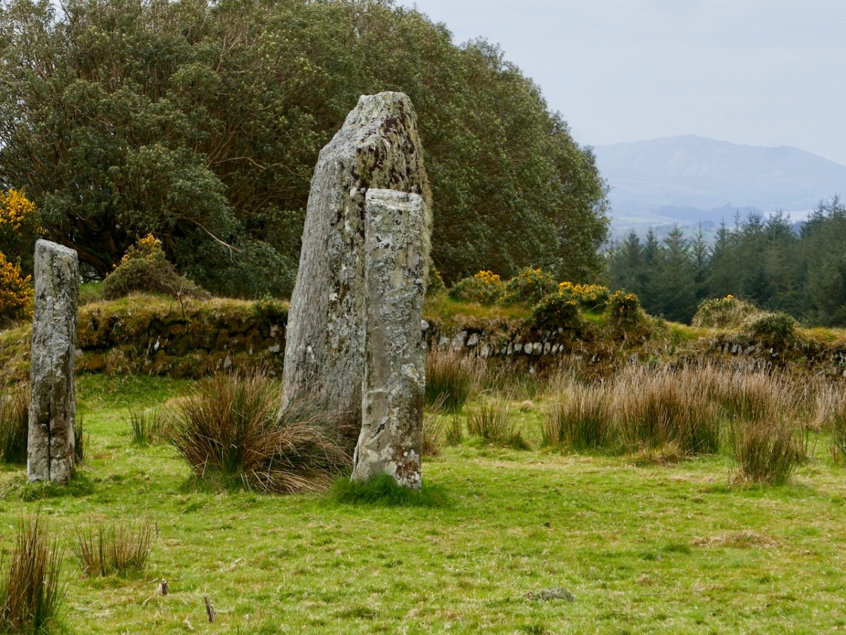
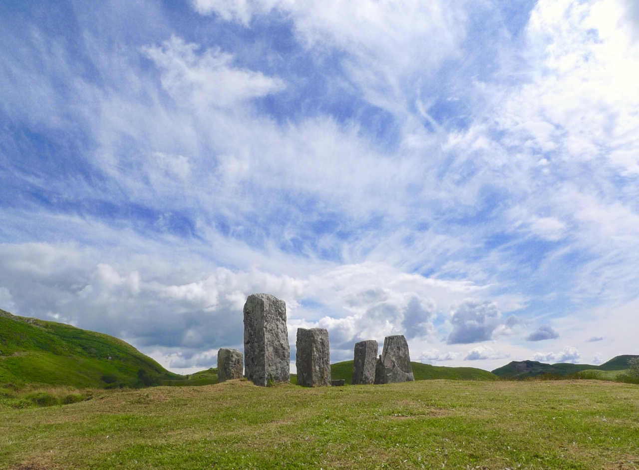
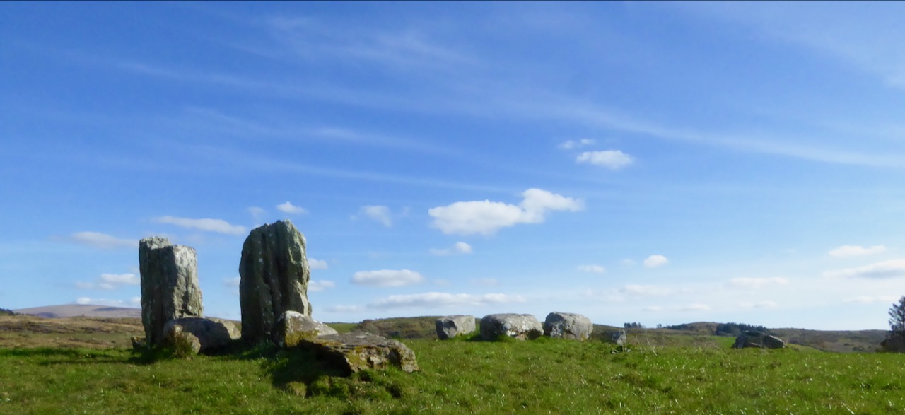
3 Maughanasilly Stone Row
Continue past the back of the castle. At the first junction take the left fork and continue until you see a small lake on your left. Shortly after you will come to a cross roads. Turn right and park – the stone row is in the field on your right.
This is a good example of a multiple stone row: it occupies a very dramatic setting on a knoll overlooking the lake. There’s a helpful explanatory sign.. Note that, instead of being straight, the stones form a slight arc. This is deliberate, as is the placement of the stone lying flat on the ground According to one expert, this stone is placed so that anyone walking up to it and standing with toes touching its edge is looking straight at the equinox. This stone row also appears to have been an important one for lunar observations. It takes the moon over 18 years to complete its cycle and from this site observations of the lunar maximums (the most extreme northerly and southerly moonrises) were likely made.
Ponder on the sophistication of our Bronze-Age ancestors. Much of the knowledge they built up so that they could keep track of time and seasons had to be re-learned by later people.
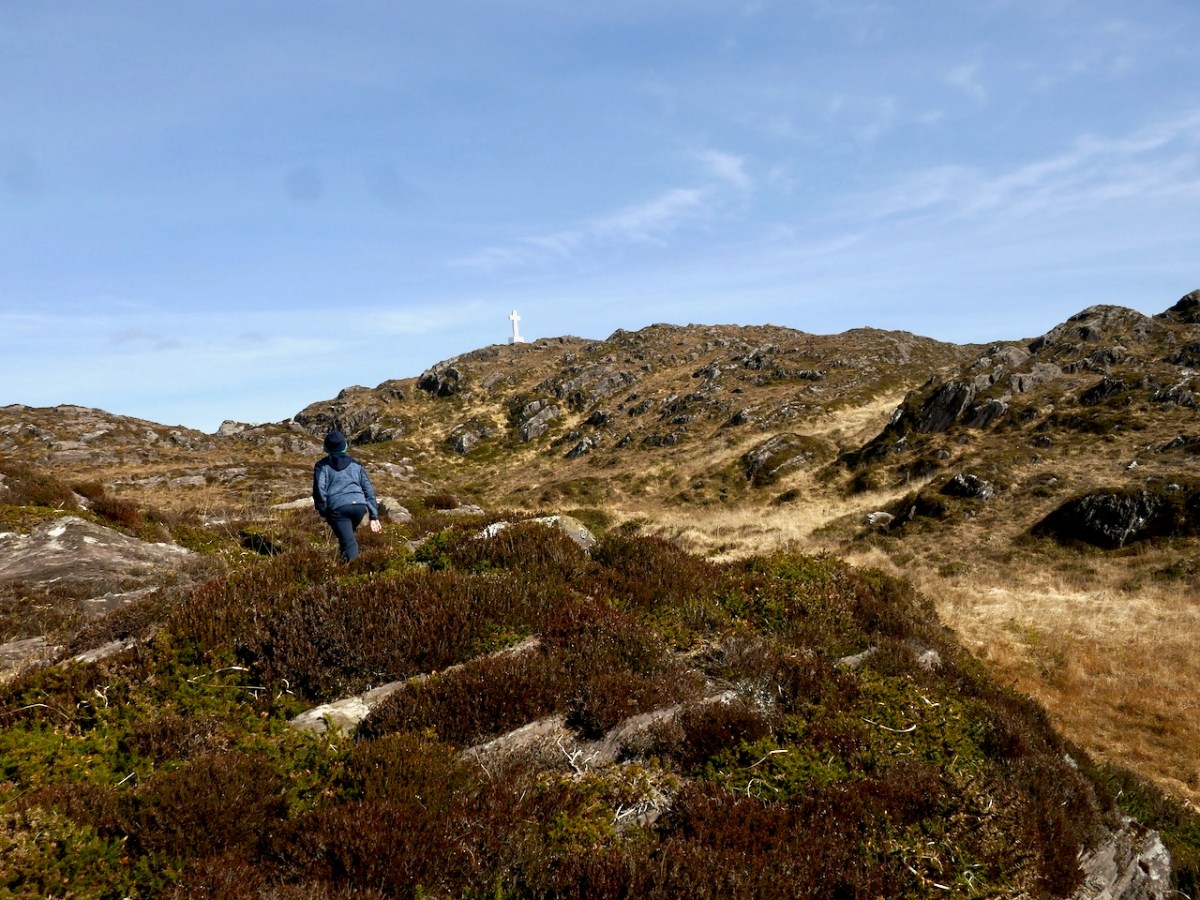
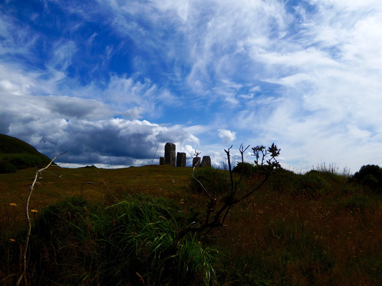
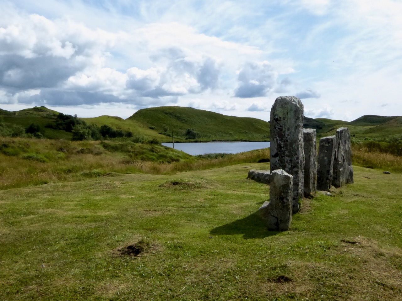
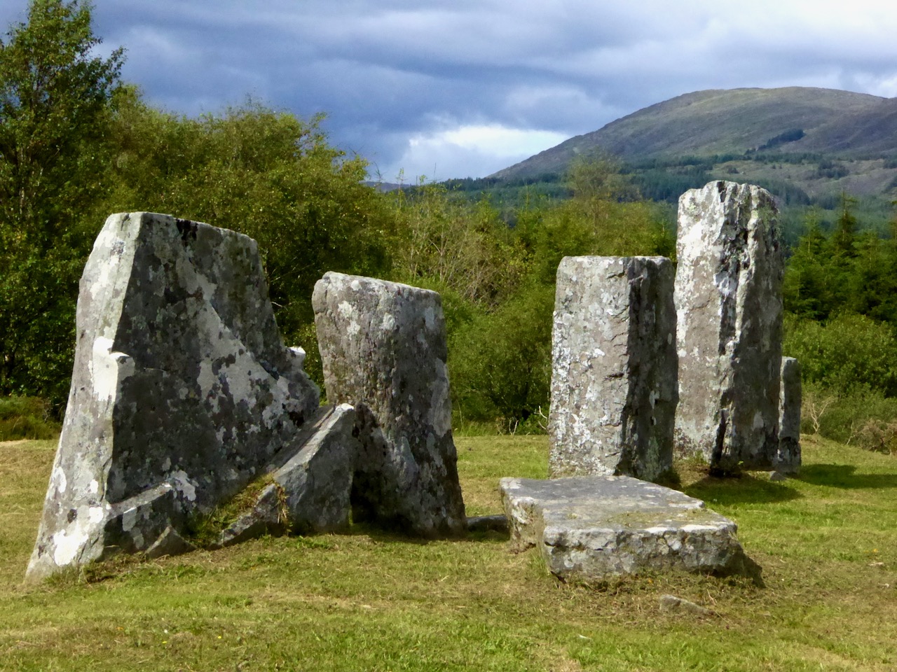
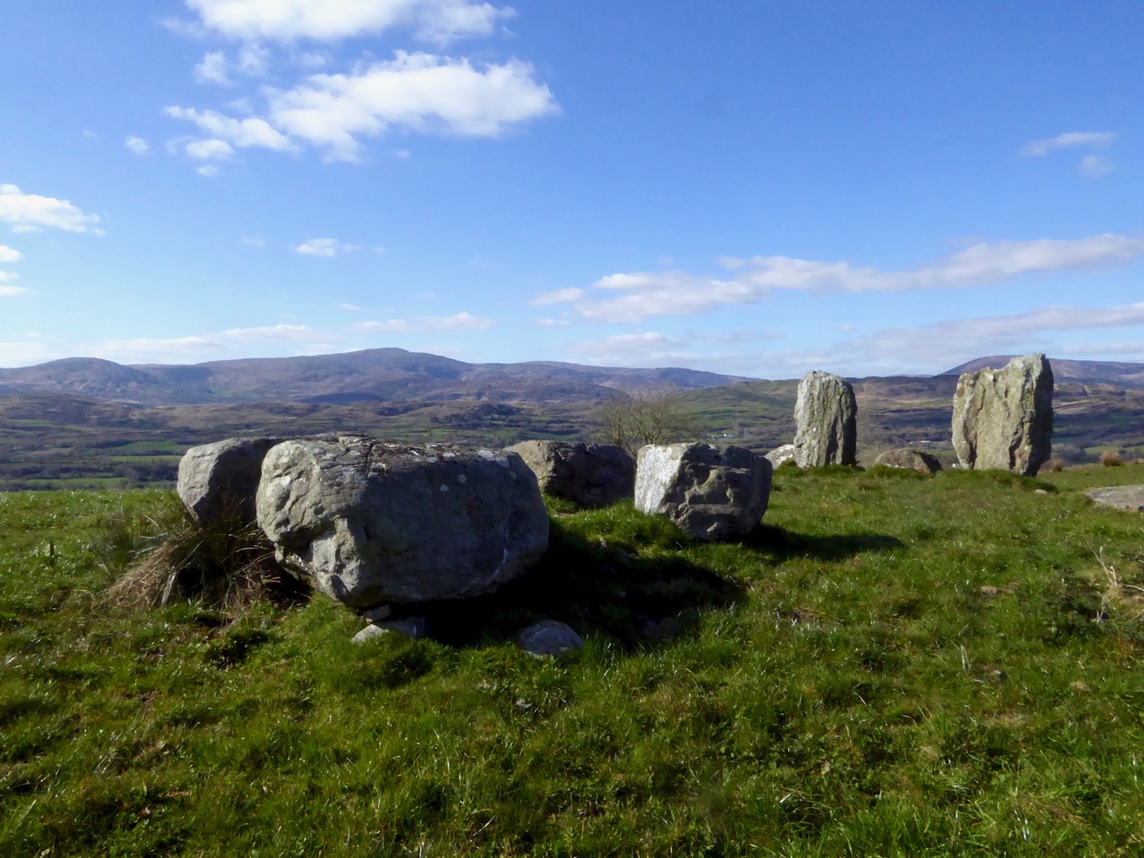
4 Kealkill Stone Circle
Back you go to Carriganass (picnic now, if you haven’t done so already) and on to the village of Kealkill – a pretty and well-kept village (and home to a famous St. Patrick’s Day parade). The stone circle is signposted from the village – just follow the steep and winding road that runs up from the church. After a sharp bend to the right, take the first left turn. There’s enough room to park at a small pull-out. The walk across the field to the circle is often muddy and squelchy so make sure to wear your boots here.
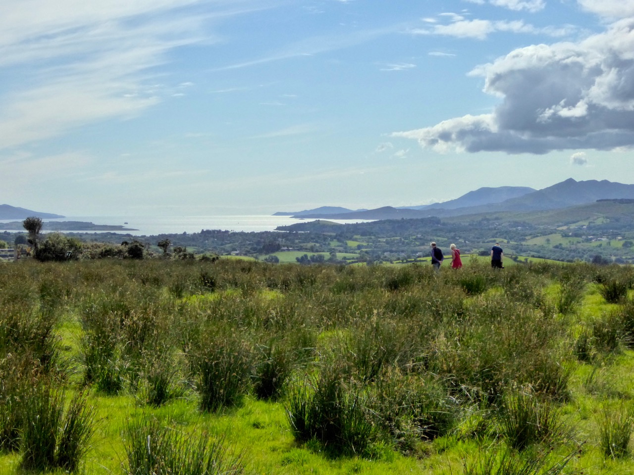
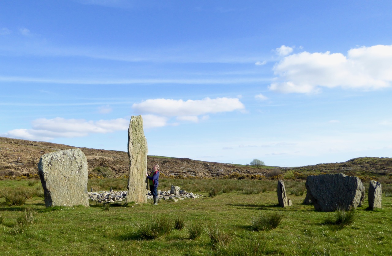
This is yet another complicated site. There is a standing stone pair, a five-stone circle and a radial cairn. But perhaps the first thing you will notice is the spectacular view. From this spot you can see all the way down the spine of both the Sheep’s Head and the Beara Peninsula to the South-West, and across the valley to the Shehy Range to the North and East.
One of the stone pair is over 4m high. But it’s broken – and may originally have stood over 6m high. Imagine the difficulty of erecting this!
The radial cairn is a mysterious monument – nobody is quite sure of its function – and relatively rare. Once again, it is often found in conjunction with other monuments – stone alignments or stone circles. This one was excavated, but nothing conclusive was found to help determine its function. Note the small upright projecting stones that look like the face of a clock among the cairn stones.
5 Breeny More, Ring Fort, Boulder Burials and Stone Circle
This is almost directly south of the Kealkill circle and on the other side of the road. Go back down the hill towards the village of Kealkill, take the first left and it’s around the first bend. There’s a ring fort (Early Medieval farmhouse enclosure, perhaps 1000 years old) right inside the gate. This is a farm field so check there are no animals or machinery working before venturing across and up it. There’s a multiple stone circle here, with four boulder burials within it. There’s not much left of the stone circle, but the portal stones and recumbent remain, so the alignment can be discerned. The boulder burials are laid out in square formation in the centre – a very unusual occurrence, since boulder burials are normally outside the circle.
The site is on a natural ridge, with similar panoramic views to the Kealkill Stone Circle. One writer has speculated that if trees were removed it would be possible to see the tall standing stone at Kealkill from this site.
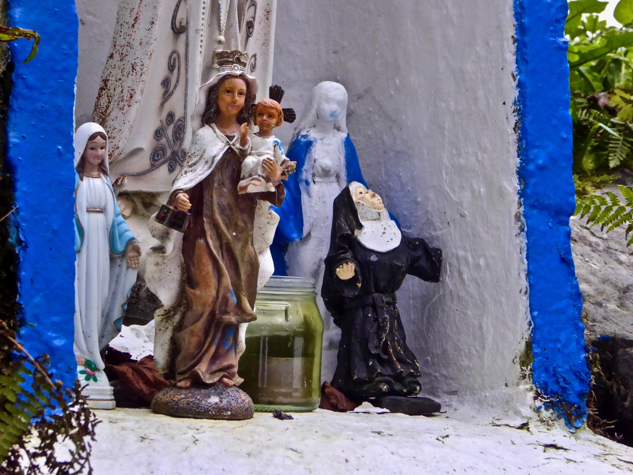
6 Kealkill Holy Well
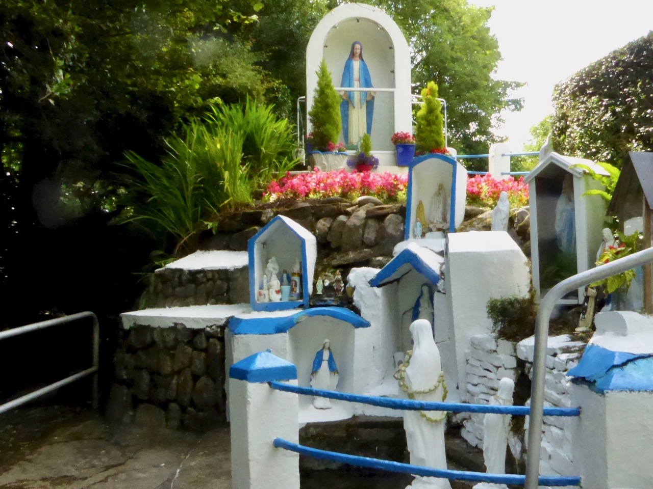
What’s a field trip without a holy well? This one is wonderful. Park at the graveyard about a km from Kealkill on the road towards Ballylicky and walk up through it, then follow the path across a small field to the Marian statue. The holy well is behind the shrine. Known locally as Tobairín Mhuire (Mary’s Little Well), mass was traditionally celebrated here on August 15th. If you’d like to learn more about holy wells, or visit some other West Cork examples, have a good browse around Holy Wells of Cork – it’s the go-to website on this subject (see list below).
Here’s more information about the kinds of monuments you’ll be visiting:
Stone Circles: Ancient Calendars
Standing Stones and Rows: Monoliths, Mysteries and Marriages
Holy Wells: Holy Wells of Cork
Boulder Burials: Boulder Burials: A Misnamed Monument?
Castles: Several posts about tower houses
We hope you enjoy your day! Let us know how you get on.
Email link is under 'more' button.