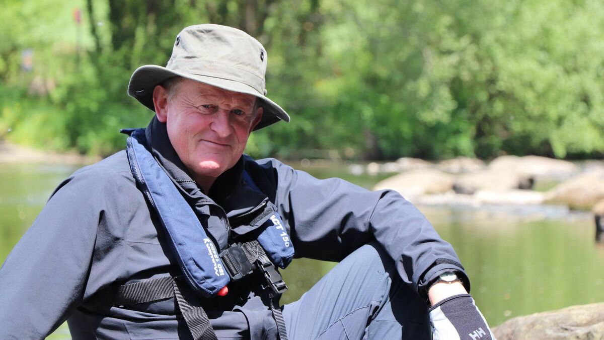
Diarmuid Ó Drisceoil is a well known historian, writer, TV presenter and story-teller. He is also a fellow graduate of Prof O’Kelly’s at UCC, in archaeology. I’ve known about his work for a long time although I only finally met him for the first time a few years ago. I subsequently followed his journey down the Blackwater River – there he was, in a canoe, guiding us down this storied river, all of it as Gaeilge. The photo above is courtesy of The Irish Examiner
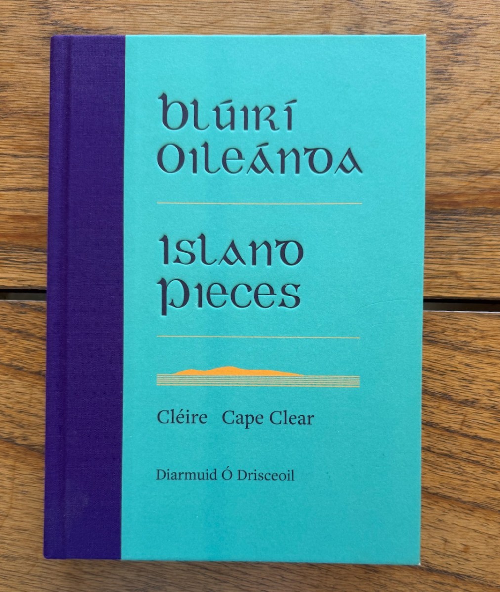
He has just written what for me will become a definitive work on Cape Clear Island – Blúirí Oileánda (pronounced approx blue-ree ill-awn-de), or Island Pieces. And it’s in both languages! This is actually very rare. I am trying to improve my Irish all the time and for anyone trying to do that, a book like this is gold. I read a piece in English and then I go back and read it in Irish. I study the phraseology (so different from English!) and the vocabulary.
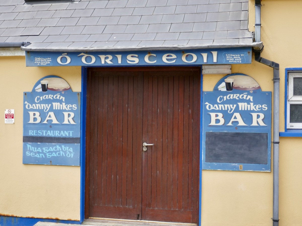
But that’s only one small part of what makes this book such a treasure. Diarmuid’s roots go deep in Cape Clear. He has a house there and spends lots of time in it so he knows it to his bones. (The photo below is in case you are in any doubt that Ó Drisceoil is a common name on Cape Clear.)
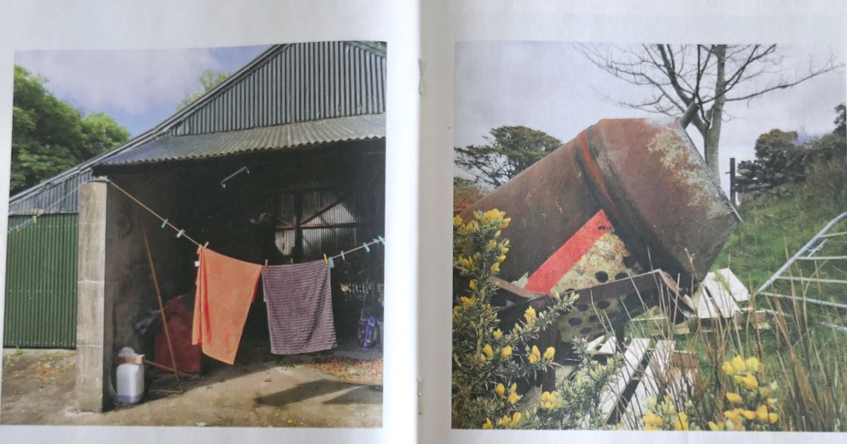
But because he is also an historian and archaeologist he notices things. The spade used for digging potatoes. The way the bracken is encroaching on areas once grazed and clear. What the contents of the catch-all drawer (we all have them) tell us about the activities and needs of the household- simple repairs, basic carpentry, plumbing, painting and aimless collecting. That last one – guilty!
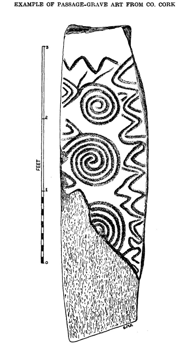
He also talks about the history and the archaeology of the island, including a piece about the Cape Clear Stone, and he acknowledges our blog post about this, The Stone that Moved, written way back in 2016 when Robert and I spent a few days on Cape Clear to celebrate my birthday. That’s the O’Kelly drawing of the Cape Clear stone, below.
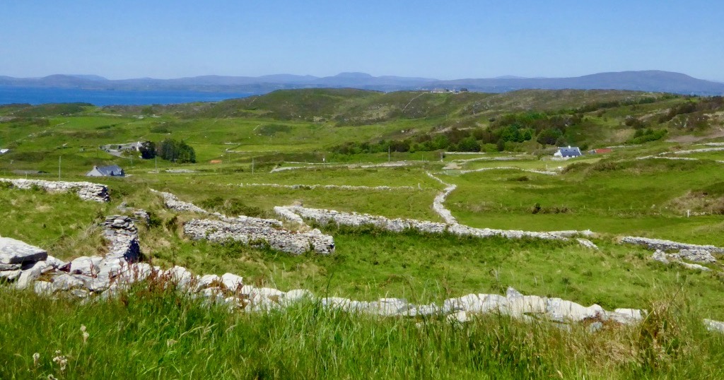
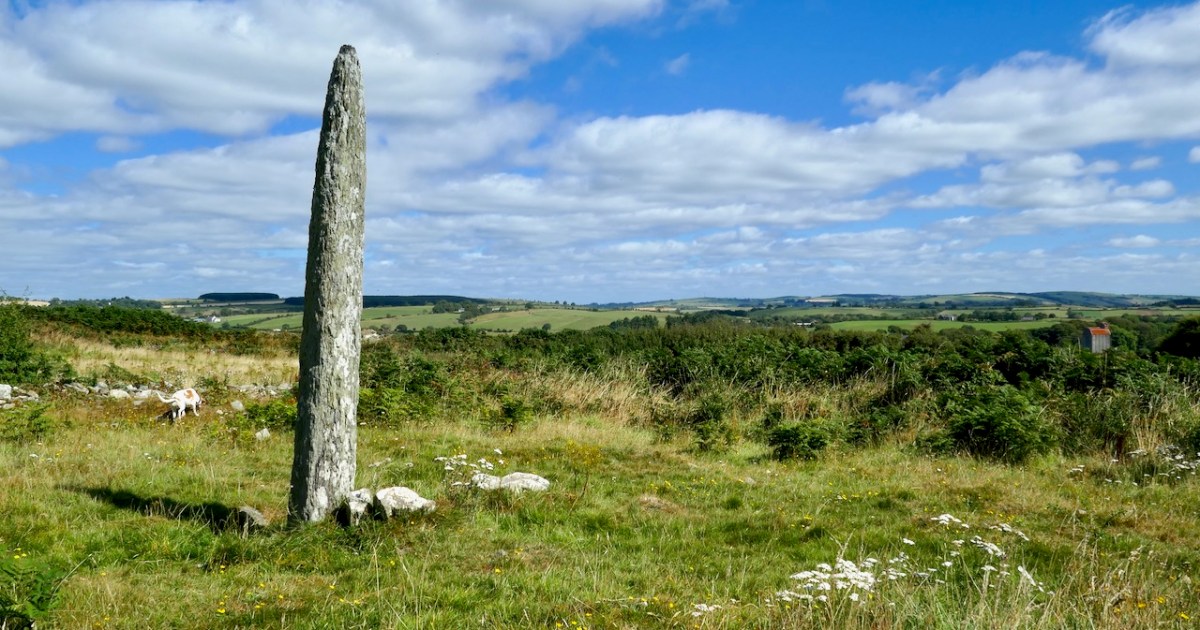
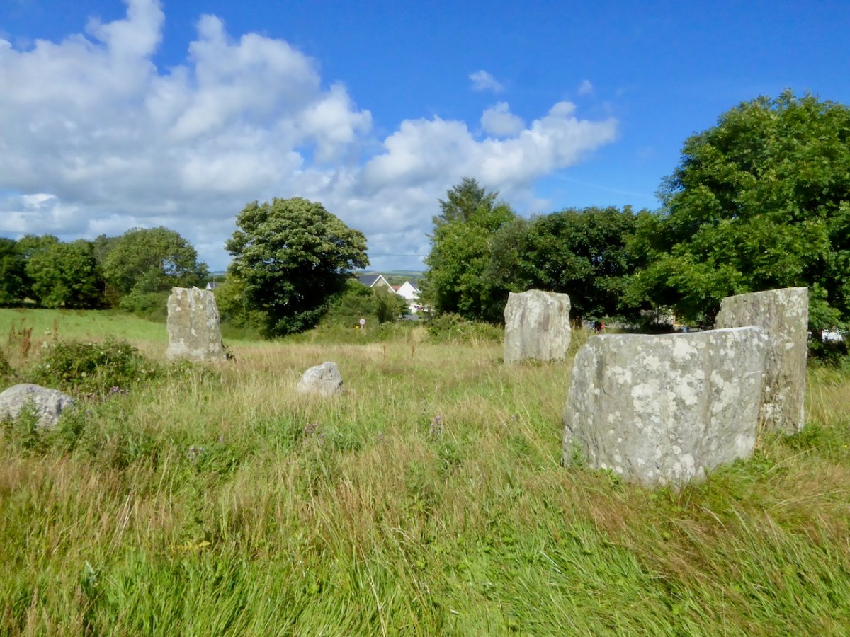
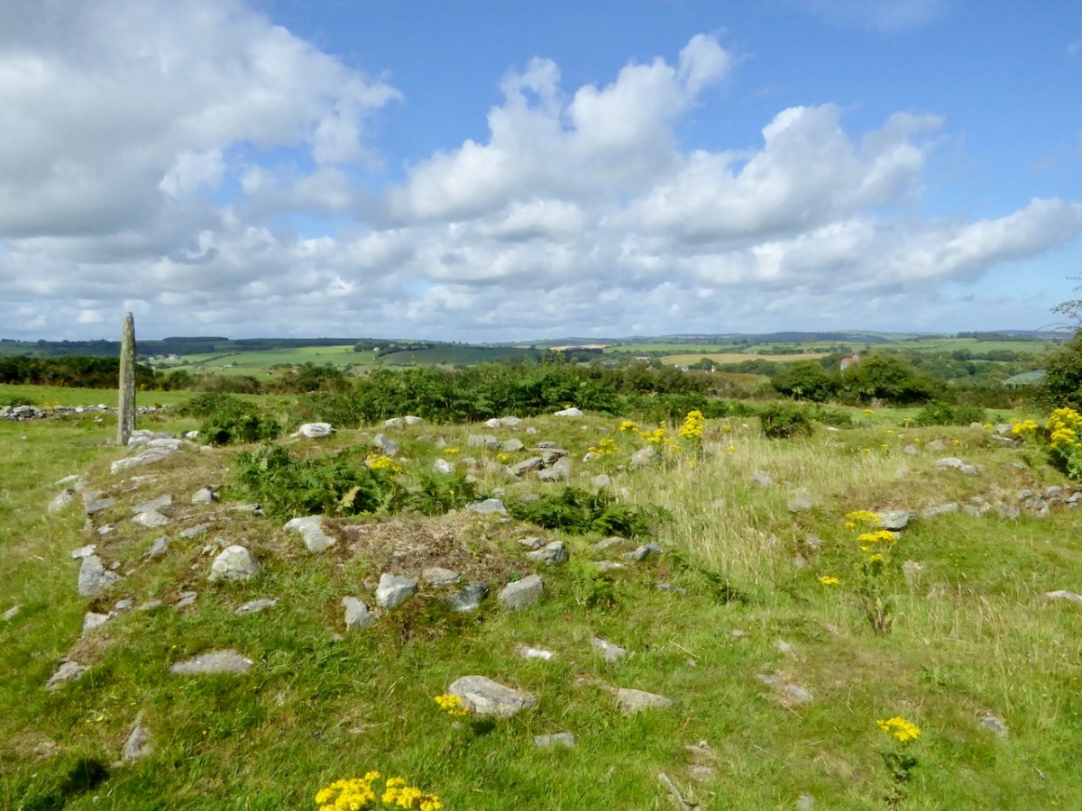
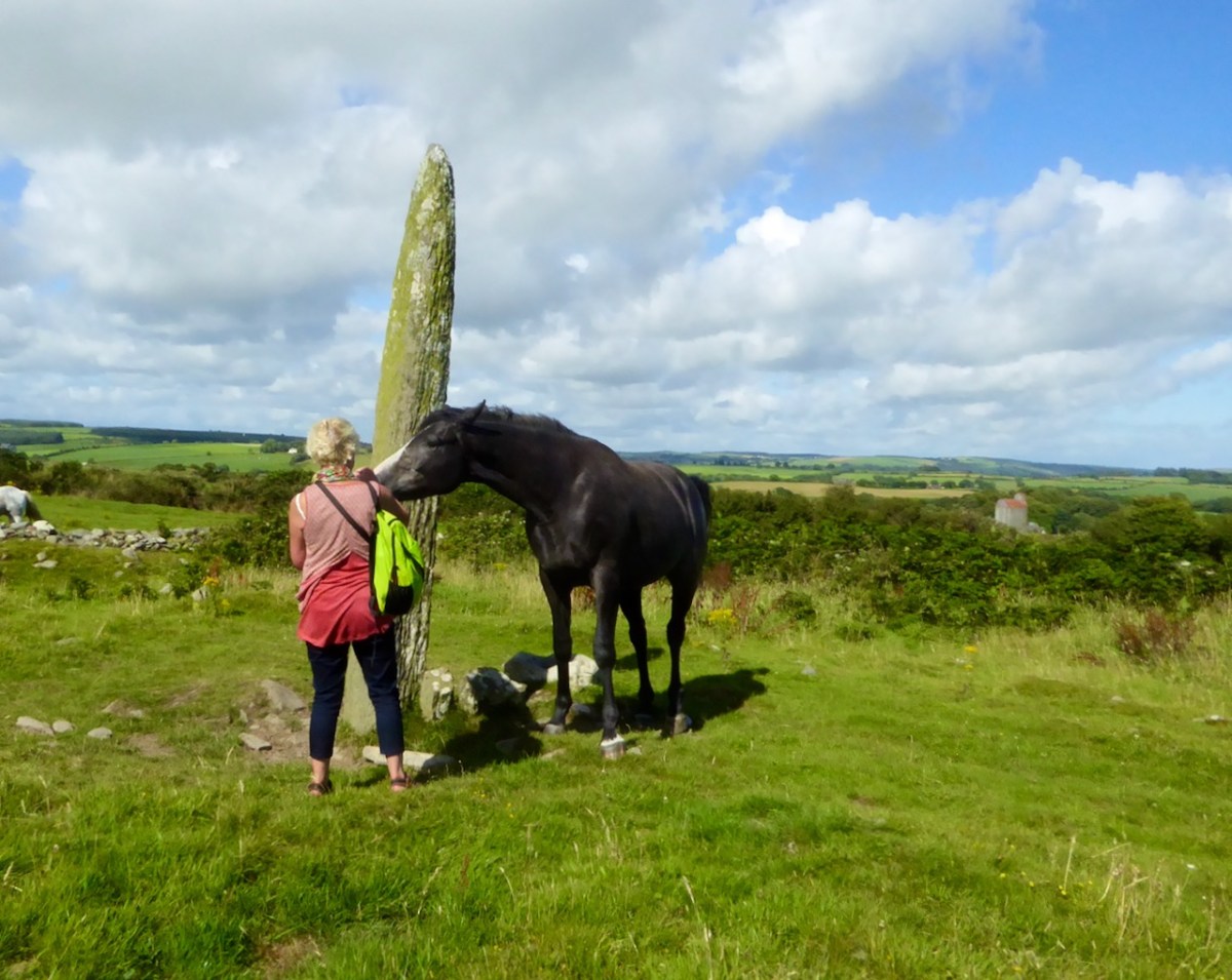
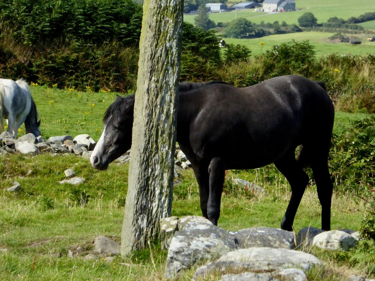
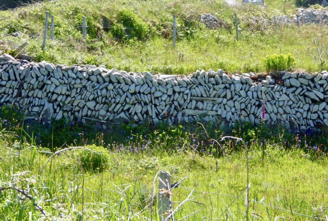
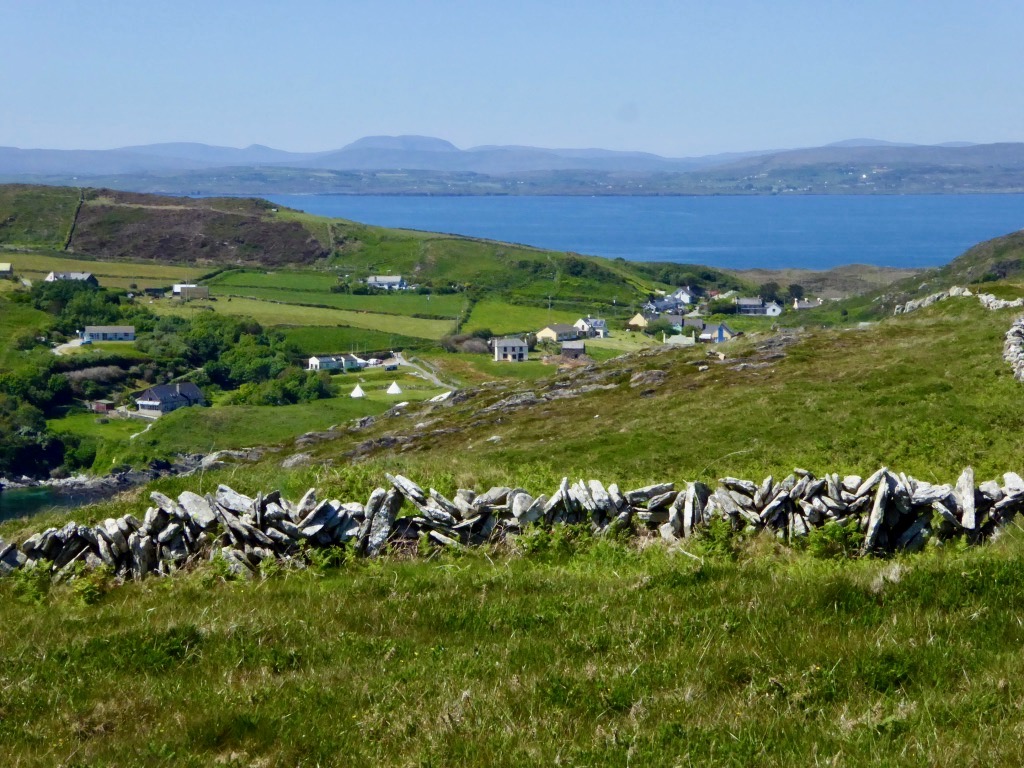
I am going to highlight only two of his Blúirí and that’s what give my post its heading. The first is about the stone walls that crisscross the landscape on Cape Clear, known locally as as ditches. Some of them are likely to be very old, possibly prehistoric, like the one below. The photographs are my own, taken on Cape Clear – but Diarmuid’s are much better, clearly illustrating his points about the walls.
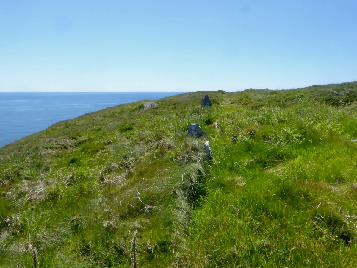
As Diarmuid puts it the style of the construction reflects the purpose of the ditch, the nature of the available stone, and the skill and artistry of the builders. Some are notional – you can step over them or knock them down, while others are thick and tall and would be difficult to breach for man or beast.
For Diarmuid the ditches represent millions of hours and days of work by nameless people, now forgotten, whose only memorial is those ditches, often unnoticed, and now not always maintained or repaired.
The second piece I want to highlight is about the Geansaí Chléire, the Cape Clear ‘Gansey’, which is the traditional name for a fisherman’s jersey. Most of us are familiar with the Aran sweater, traditionally worn by the fisherman of the Aran Islands, but few have heard of the Cape Clear gansey.
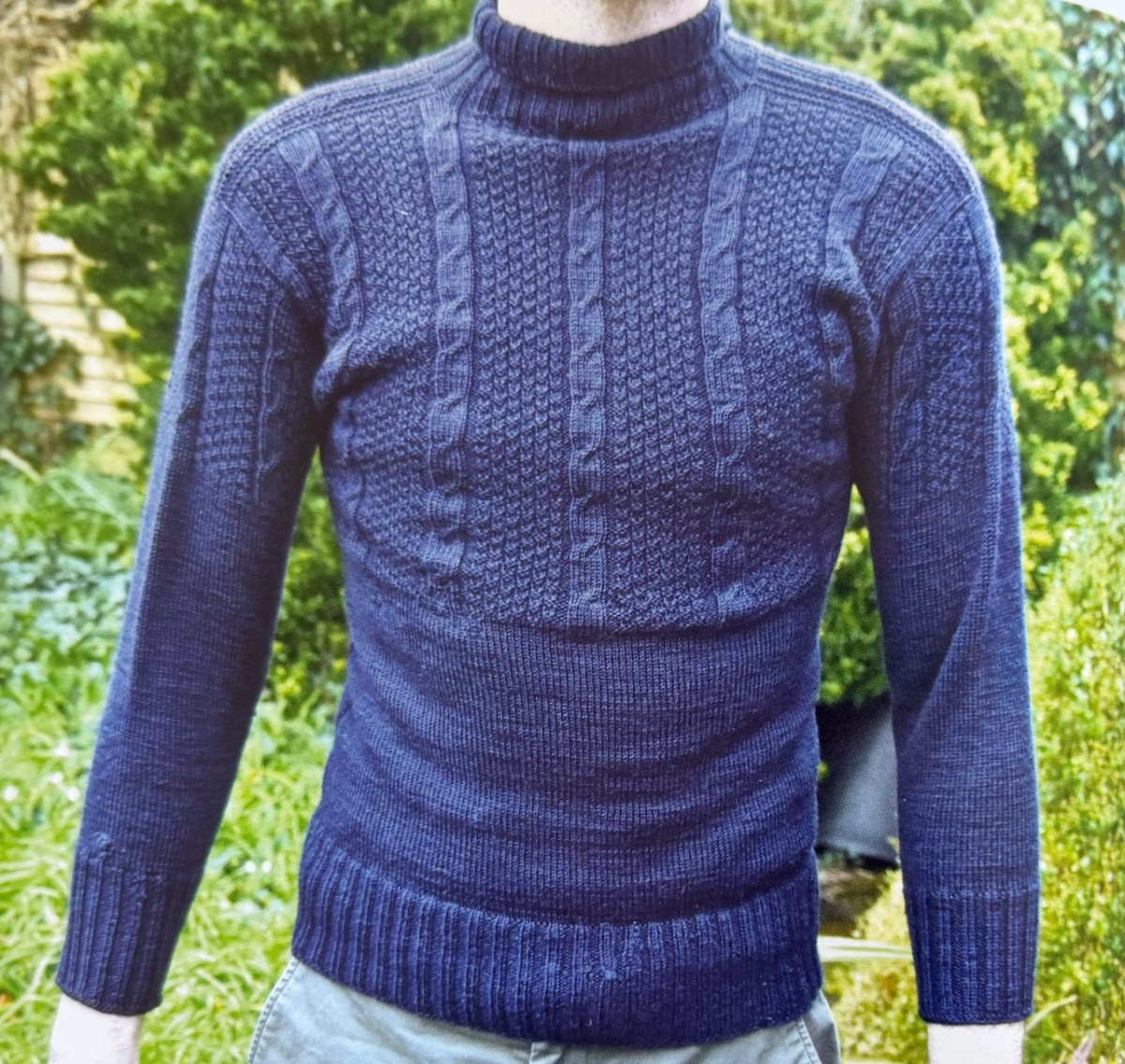
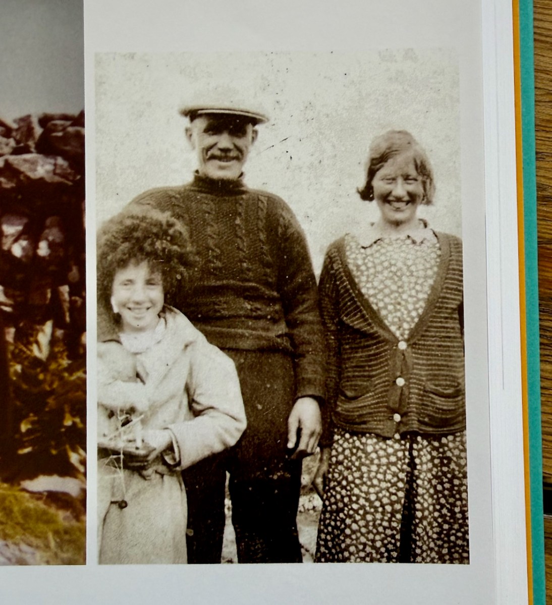
Incredibly, the one Diarmuid illustrates (above) is over 100 years old. It was knitted in Cape Clear around 1920. The man for whom it was knitted Timothy (Tade) O’Drisceoil, emigrated to the USA in 1924. In 1973 he returned it to his elderly mother, still living on the island. He had kept it in America all those years in perfect condition. Diarmuid also preserved it – Tade was his uncle. In the photo below, the knitter, Catherine Cadogan (right) is with her brother, Donnchadh, also wearing a Geansaí Chléire.
Knitters get very excited about this kind of thing and some experts have gone about ‘reverse engineering’ the gansey to figure out how it was knitted (in the round, as one single piece using very thin needles and very fine yarn). Here’s a whole video exploring that process, featuring Diarmuid himself and expert knitters. The technicalities of knitting something like this will leave you gasping.
That’s only two small samples from this delightful book. I highly recommend it to anyone who is interested in an informed and local eye on Cape Clear. Or indeed anyone who wants the experience of reading in both languages. You can buy it in all good Cork bookshops but also direct from Diarmuid at https://capeclearbook.ie/.