Mizen Magic 25: Gortduv Loop (Fastnet Trails)

Ready for a longer walk? If yes – this one is 13.5km and has strenuous stretches. If not, don’t worry – there are lots of possibilities for doing parts of the walk, or for going with friends and leaving a car at strategic spots. We didn’t do it all at once, in case you get to thinking we are super-fit hikers. (The sad truth is we can’t be too far from a coffee shop.) As with all the Fastnet walks, keep dogs on leads – we did encounter both cattle and sheep on this walk, right on the road. There is a short stretch of ‘green road’ and although it’s well maintained, it might be muddy after rains, so good shoes are essential.

This loop takes you from Goleen on the south side of the Mizen right across the peninsula to the fabulously scenic north side. It skirts along the edges of the valley that runs between Knocknamaddree (Hill of the Dogs) to the west, and Knockaphuca (Hill of the Pooka, or Mischievous Spirit) to the east, rising to a maximum altitude of 180m (or about 600 feet). Most of the altitude is gained in the first half of the walk – so a packed lunch and water will be both welcome and needed if you’re doing the whole walk.
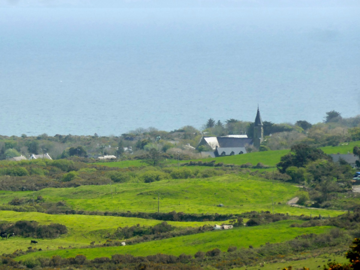
Set out from the Goleen Community Centre and the first part of the walk is shared with the Lissagriffin Loop – see our recent post on that walk. As you ascend, the views are immense – back to Goleen and across to Knockaphuca and Mount Gabriel beyond it.
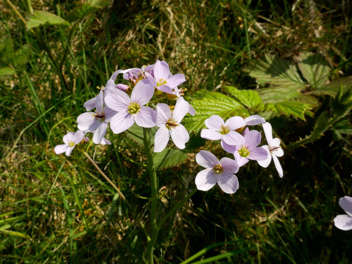
You’ll have to dig into your reserves of energy (or maybe have some chocolate) as you continue the climb. You are in true mountainy heathland now – look out for orchids in the spring and early summer, or Cuckooflower (below) in damp ditches.
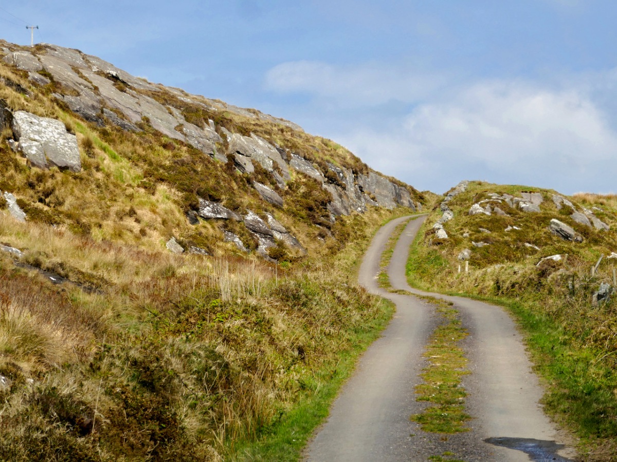
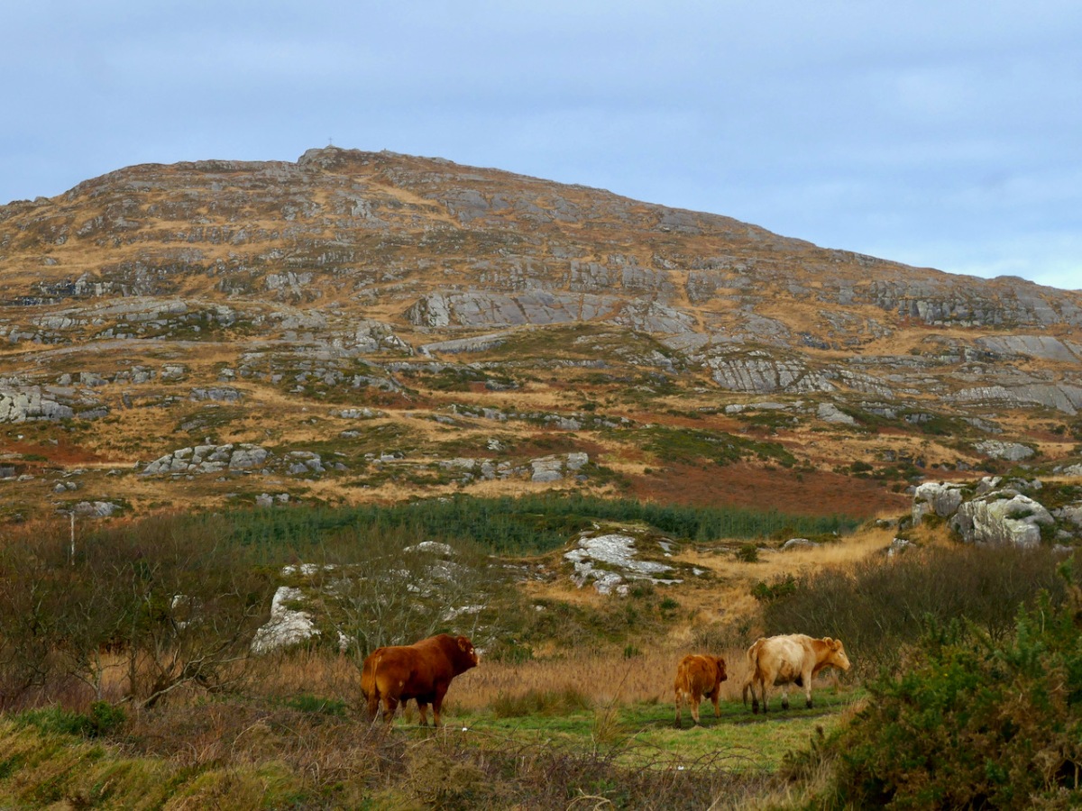
Watch out also for cattle on the road – we were startled by a line of plodding cattle coming towards us, and even more startled when we realised that one was a mighty fine bull. Fortunately, they turned into a field before we reached that spot, but there was no human around and the gates were open, so we can only assume we were simply in the wrong place at the wrong time as it is very unusual (although not unknown) to see cattle wandering like this.

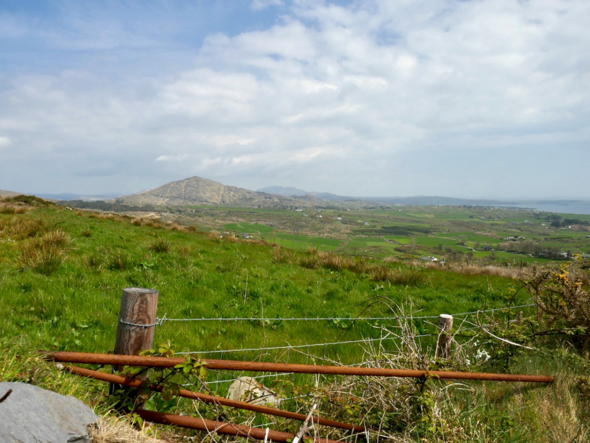
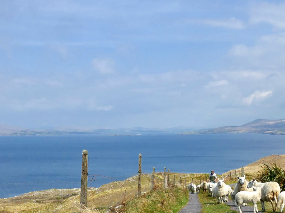
Coming over the top of the hill you have the whole of Dunmanus Bay in front of you and you can see clear up to the head of the bay, across to the Sheep’s Head, and to the Mountains of the Beara behind that. Have a nice sit down on some convenient boulder here – you deserve it – and just absorb that breathtaking sweep of land and sea.

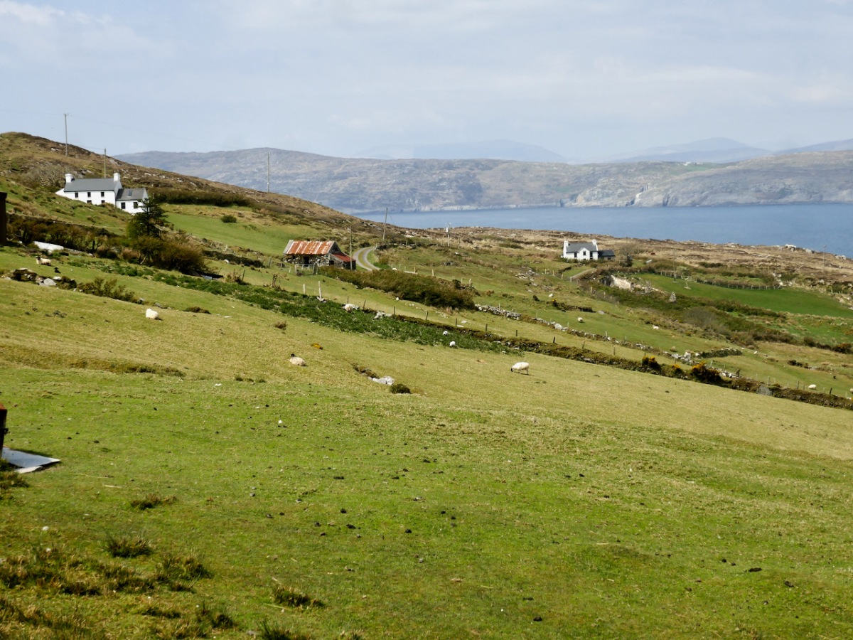
And talking of sea – you’re heading down now towards it, past picturesque stone farm buildings and beautifully renovated cottages until you arrive at Dooneen Coos (the Cove of the Little Fort). Along the way we ran into a shepherd moving his sheep up into higher ground, with the aid of the marvellously well-trained dogs that attend to their business but also like a good pat.
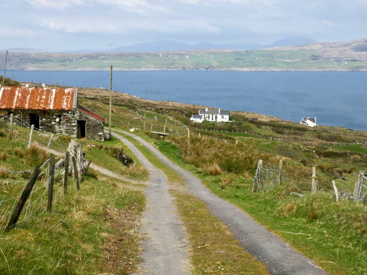
Dooneen Coos is a good spot for lunch – or even a swim if you’re that way inclined. it’s close to the peninsula we wrote about in our post Mizen Magic 23: Lackavaun and The Meallán so you can always take a side trip there if you wish. This might also be a good spot to leave a car if you’re not doing the whole loop on this occasion.
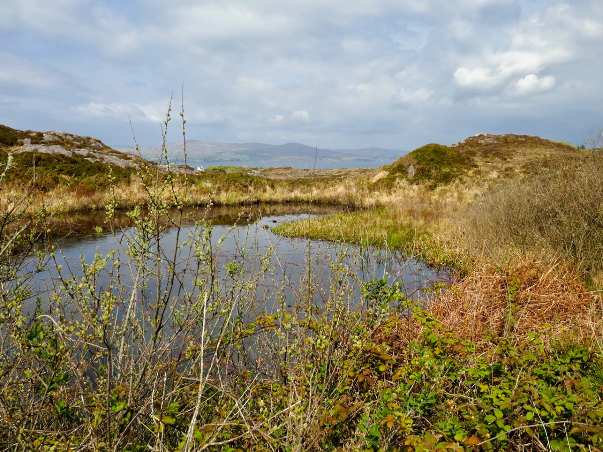
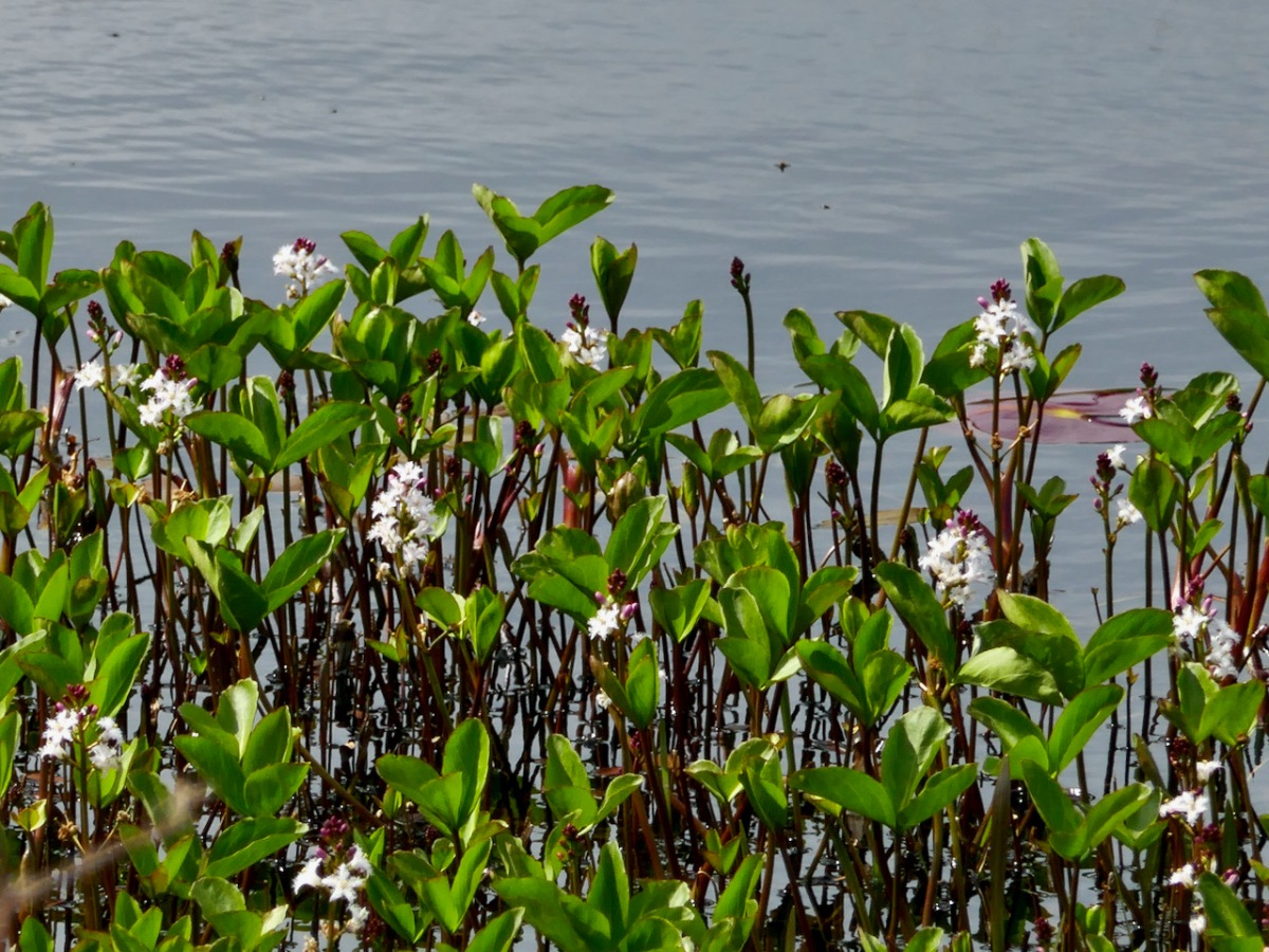
But if you’re carrying on, you’re now heading towards Dunkelly and the storied inlet known as Canty’s Cove. Read all about it here. Here, because we have been to Canty’s Cove lots, we took the short cut – marked in orange on the map. The compensation is that this stretch contains the remains of old ruined cabins and clacháns (hamlets) along the road, as well as a beautiful pond which, at the time of our visit was full of flowering Bogbean. 

From Dunkelly the road turns back along the slopes of Knockaphuca  and along the way there’s a  bit of a surprise – an old store that once supplied necessities for the population of this area but which has not been viable for many years. No doubt local people have all kinds of memories and stories about this one. I was taken by the keys, still hanging above the door!

By now we were on the stretch of road that this loop shares with the Knockaphuca Walk and that’s a walk you HAVE to do, if you haven’t already. Possibly the jewel in the Fastnet Trails crown. Crossing the main Schull-Goleen road we head down to Ballydivlin. 
We’re at the sea again now, back on the south side of the peninsula, looking across to Castlepoint (and Leamcon Castle) and out to the Fastnet Rock with its iconic lighthouse

It’s been a long haul but SO worth it – wouldn’t you agree?
The Fastnet Trails website is coming soon. We will update this post with that link once it’s finalised and active.

Ballyrisode – Pirate Connections

Last week, Finola wrote about the discovery of what is probably an intertidal fulacht fia on the beach at Ballyrisode, not too far west of us down the Mizen Peninsula. Following the publication of her post, we received a host of comments and messages, including from our friend Dr Connie Kelleher – an underwater archaeologist and well-known specialist on the history of piracy in West Cork. Connie told us that she and a colleague – Áine Brosnan – had examined the site back in 2012 because they were looking for links to pirate connections!

Header – this really is the colour of the remarkably clear water in Canty’s Cove seen on a recent visit: this is probably due to veins of copper ore. Above – Ballyrisode Strand is notable for its secluded location and its impressive white sand

The mention of pirates took me back to my 2016 post – Cantyclick here now and have a read, then return to this page for more insights. One of my resources when researching for Canty was an article by John Hawke in Volume 5 of the Mizen Journal, published in 1997: Canty’s Cove – Legend and History. I only used snippets in my post then, as I concentrated on Canty’s lair on the Northside. Today I’ll expand on Canty’s exploits to the south and west, including his connections with Ballyrisode. Connie made a very valuable point in her comments to us that Canty was a Gaelic-Irish pirate on the opposite side of the peninsula to William Hull and active at a time when the English pirates were headquartered in Leamcon, Baltimore and Crookhaven; he appears to have remained in control within his own domain to at least 1629 but most probably into the 1640s.

Upper – a photo from ‘Northside of the Mizen’ clearly showing the protected promontory known as ‘Canty’s Garden’ in the twentieth century. It is likely that this is the site of Dunkelly Castle, and was the scene of Canty’s grisly treatment of his visitors. Lower – looking across Canty’s Garden today

The following stories were told to John Hawke in 1995 by James Camier, and were handed down from his father, William Camier of Enaghoughter Townland: they therefore go back a good few generations:

. . . Boats from America and elsewhere came into Dunmanus Bay, the captains were invited into his house by Canty, were dazzled by a special grog, robbed and pushed through the north door over the cliff into the cove to the north. On one occasion Canty wanted to stop an invasion by some outsiders at Ballyrisode. He had a daughter, who did not want him to go and tried to stop him, so he shot her. He then crossed by land to Ballyrisode and by moonlight fought a battle on the first strand, which he won. Gravestones to the dead stood on the shore. One day, the son of a captain previously murdered by Canty, who was also a captain, on returning from America was invited in by Canty. But, knowing more than his father, when Canty asked him to step outside he pushed Canty over the cliff . . . James himself remembers some gravestones, but these have been covered by encroaching sand over recent years . . . Graves existing on the second strand are of drowned sailors . . .

Sailor’s graves – or the site of a pirate battle? The fulacht fia is upper right in this picture

This very categoric piece of information suggests that James Camier (or perhaps his father) attribute the stones on the ‘second strand’ to sailors’ graves. These stones are probably the small upright stones which lie close to the fulacht fia today: they certainly resemble grave markers in size and shape. In the context of a Bronze Age fulacht fia such stones were probably part of a hearth or roasting-pit.

It is illegal to disturb any archaeological site (please note!). Our activities at Ballysrisode were confined to measuring and photography. However, we made a series of probes across the beach to test the depth of the sand (and imagine how many excavations have been made on that beach over the years by eager sandcastle engineers!). Our results show that there seems to be a consistent depth of only 50mm to 200mm over the main beach. Hmmmm… not enough to bury any pirate bones methinks. Also, it’s rather unlikely that any pirates would stay around to firmly fix substantial stone markers over the graves of their dead comrades (or enemies). But I would never want to stand in the way of a good tale.

I know this is slightly ‘off subject’ but it’s worth adding to the whole picture of Canty and pirates another tale from the Camiers:

. . . Canty’s Cove was always seen in the locality as a lonesome place at night and there are various stories of unexplained sightings – old longboats coming in and out, a man walking along the ledge on the far side of the Cove from the pier and suddenly disappearing, and of “white” hands helping the captain to tie up his seine boat . . .

I’m not sure that I’d be up for a visit to Canty’s Cove after sunset (above), but the beautiful white strands at Ballyrisode would be most attractive in the moonlight, and – who knows – it might be a good time to see if there is any ghostly pirate activity in this historically significant place.

In the picture below Rosie the Dog investigates the apparently haunted piers at Canty’s Cove: they were extensively upgraded in the 1940s

‘Will the Hare’ – and the Mizen Olympics!

street market

…In ancient Ireland the festival of the beginning of the harvest was the first day of Autumn, that is to say, it coincided with 1 August in the Julian calendar. This has continued in recent tradition, insofar as Lúnasa or Lammas-Day was still taken to be the first day of Autumn; the gatherings and celebrations connected with it were, however, transferred to a nearby Sunday, in most parts of Ireland to the last Sunday in July, in some places to the first Sunday in August… The old Lúnasa was, in the main, forgotten as applying to the popular festival and a variety of names substituted in various localities, such as Domhnach Chrom Dubh, Domhnach Deireannach (Last Sunday), Garland Sunday, Hill Sunday and others…

making the stack

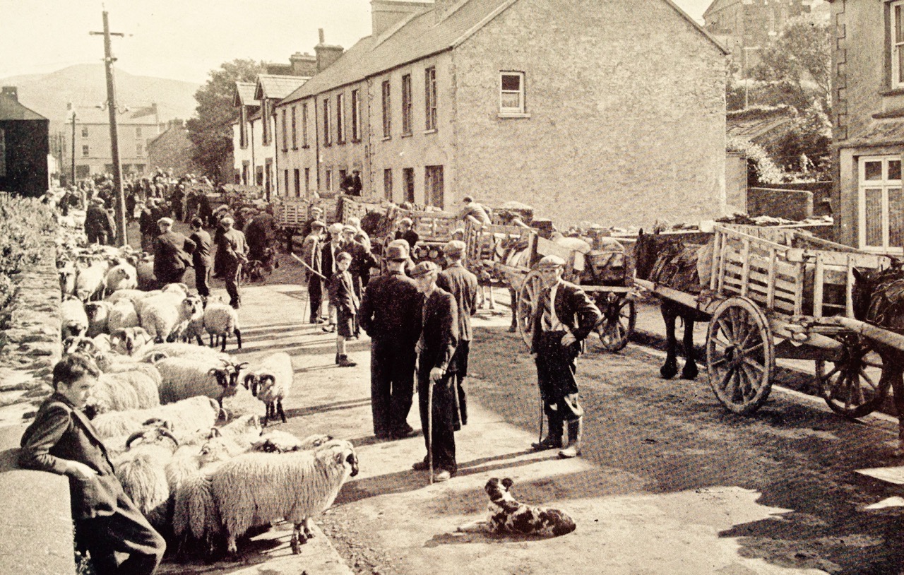
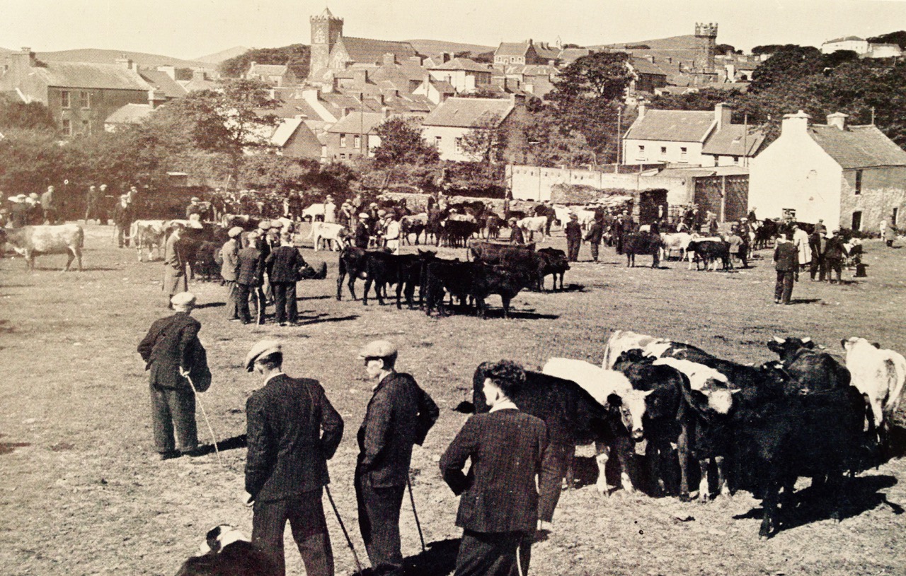
All the photographs in this post are from the collection of Tomás Ó Muircheartaigh who travelled and photographed the west of Ireland during the 1930s, 40s and 50s and is an invaluable documentary of the times in which he lived. Generally, the locations of the photographs are not noted, and very few are likely to be specific to the Mizen: they do however record life as it would have been lived at that time in all the rural areas

Today we celebrate Lúnasa – the festival of the bringing-in of the harvest. Kevin Danaher (The Year in Ireland, Mercier Press 1972) wrote (above) about what he observed in the middle of the last century, when things were already changing and many of the old customs were, as he notes, ‘in the main forgotten’, although still talked about. What changes do we see in Ireland, a few generations on?

seascape

Northside of the Mizen by Patrick McCarthy and Richard Hawkes was written in 1999 (Mizen Productions) and is a collection of memories and stories still being told then about traditional life in this westerly part of of the country:

…The heat of the summer was eased by the cooling breezes from the Atlantic. It was busy on land and sea, with seine fishing by night and fish curing and farming by day, but there was always time for scoriachting, games and dance, sometimes on Carbery Island or across Dunmanus Bay…

…Once in the year Carbery Island was the location for a dance and in settled weather the Northsiders could shout across and give the signal to the people of Muintir Bháire to meet at Carbery Island. As many as forty-five people in three boats would cross Dunmanus Bay to the White House, and a good crowd of men and women from Bear Island would also come to the dances. They were great hearty people. Ann Daly from Kilcrohane and Agnes O’Donovan of Dunkelly played the melodeon…

I like the idea of the Northsiders shouting across the water to the residents of the Sheep’s Head, two miles away! I wonder if they would be heard nowadays?

horse race

…There were competitions at Dunmanus for swimming, running, jumping and weight lifting, and you could be sure that the Northsiders were well represented in each of the events. ‘Will the Hare’ (William McCarthy of Dunkelly Middle), was good at the long jump and the running races and would often win and bring great honour to the Northside. It was said that ‘Will the Hare’ got his name by catching a hare on the run! It was also said that when you blew the whistle to gather the men for seining, by the time you had finished, ‘Will the Hare’ would be at Canty’s Cove waiting!

boat race

…Wild John Murphy would take the lads to the Crookhaven Regatta which was held on The Assumption (15th August). It was a long pull around the Mizen but a good time was had by all. The Northsiders were great with the oars, but it was hard to beat the Long Island crews in the boat races…

(Danaher): …In very many localities the chief event of the festival was not so much the festive meal as the festive gathering out of doors. This took the form of an excursion to some traditional site, usually on a hill or mountain top, or beside a lake or river, where large numbers of people from the surrounding area congregated, travelling thither on foot, on horseback or in carts and other equipages… Many of the participants came prepared to ‘make a day of it’ bringing food and drink and musical instruments, and spending the afternoon and evening in eating, drinking and dancing…

picnic

…Another welcome feature of the festive meal was fresh fruit. Those who had currants or gooseberries in their gardens, and this was usual even among small-holders in Munster and South Leinster, made sure that some dish of these appeared on the table. Those who lived near heather hills or woods gathered fraucháin (‘fraughans’, whortleberries, blueberries) which they ate for an ‘aftercourse’ mashed with fresh cream and sugar. Similar treatment was given to wild strawberries and wild raspberries by those lucky ones who lived near the woods where these grow… A number of fairs still held or until recently held at this season bear names like ‘Lammas Fair’, ‘Gooseberry Fair’, ‘Bilberry Fair’…

market in town

One interesting custom was the driving of cattle and horses into the water. This is mentioned in the 1680s by Piers in his Description of the County of West-Meath:On the first Sunday in harvest, viz in August, they will be sure to drive their cattle into some pool or river, and therein swim them; this they observe as inviolable as if it were a point of religion, for they think no beast will live the whole year thro’ unless they be thus drenched; I deny not but that swimming of the cattle, and chiefly in this season of the year, is healthful unto them…

at the fair

Mizen Mud: Recipe for a February Exploration Day

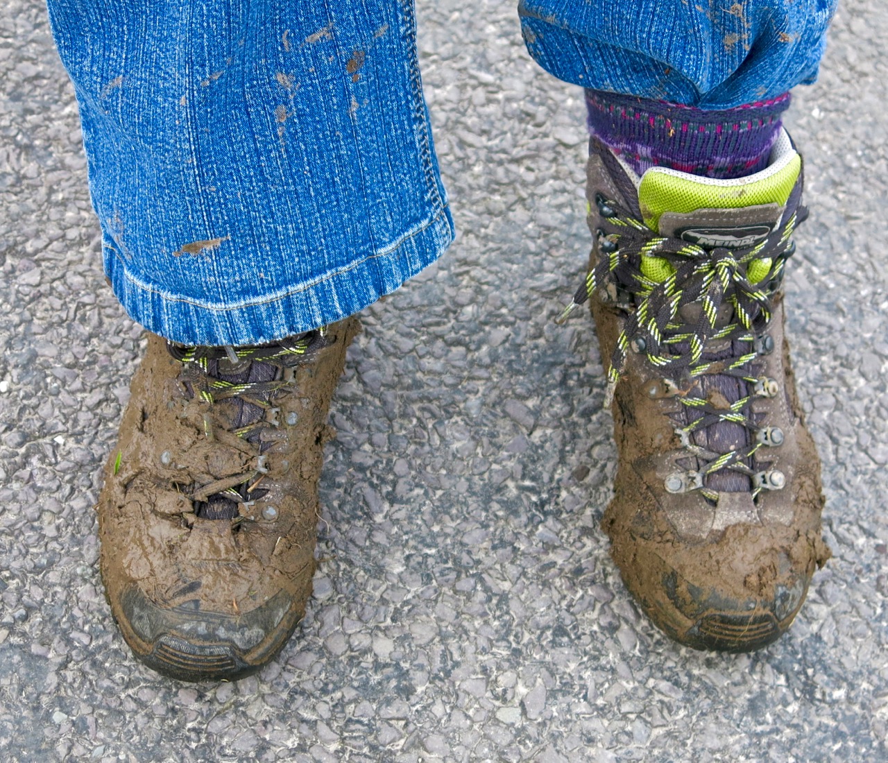
Muddy Boots

It’s been a wet, wet winter, but when the sun shines in February (which it does, honestly!), we are out exploring. This particular day our companions were Jessie, Brandon, Amanda and Peter and our accompaniment was MUD, and lots of it.

Explore Group

Amanda took the photo of the group, and the one of my muddy boots

We had goals – Amanda was after some elusive holy wells and Robert wanted to find the pirate steps at Canty’s Cove for his talk on William Hull and the Leamcon Pirates’ Nest, part of the Ballydehob spring lecture series, ’Talks at the Vaults.’ Jessie is a professional tour guide, wanting to learn more about the Mizen. Finally, I wanted us to swing by Dunmanus Castle so I could check out a few construction details.

Dunmanus Castle and bridge

Dunmanus Castle on its knoll, surrounded by water

You don’t actually need goals like this to go out exploring, but it helps. It gets you into places you wouldn’t normally go, down tiny boreens, into farmyards and across fields. You end up knocking on doors and meeting people who know all about the well, or the old stones, or the legends of the place, or who owns what field and whether he minds people tramping through it. On this occasion we met, for the first time, the near-legendary Pat McCarthy, one of the writers of Northside of the Mizen, and a huge authority on this area. We’ve promised ourselves a return visit with him as we weren’t able to stay long enough for a good talk.

Budds

The best way to start a day like this is with excellent coffee, in Budds of Ballydehob, where we assembled with our map to plot our course. It was off then to Toormore and the Altar wedge tomb. On this occasion we weren’t actually after the wedge tomb (although I can never resist a photo of it) but the little holy well across the road.

Altar Wedge Tombe

Our next stop was Dunmanus, to take a good walk around the castle with the camera, looking for details I had missed on previous visits.

Dunmanus Castle ground floor entrance details: The bar-hole for barring the door once inside; the spud stone and the hanging eye. The hollows are for the pole that the door swings on

And then on to Canty’s Cove. You can read Robert’s post, Canty, for more about this place and its association with Canty the Pirate. Finding the steps wasn’t easy and it was a big thrill when we finally figured out where to look.

from Canty's House

This is the inlet with the pirate steps. Photographing them involved hanging over the edge with someone holding on to your ankles

Pirate Steps

How would you like to climb up these with a keg on your back?

By then we were starving – this exploring is hungry work – so we repaired to O’Sullivan’s of Crookhaven for one of their famous crab sandwiches. Even at that early date the sunshine was so inviting that people were sitting outside with their sandwiches and their pints.

water pump at Crookhaven

Crookhaven Pier

From Crookhaven it’s a quick trip to Lissagriffin, where there’s a medieval church and a bullaun stone doing double duty as a holy well/wart well. The church has a panoramic view over the salt marshes behind Barley Cove Beach as well as interesting architectural features.

Lissagriffin Doorway

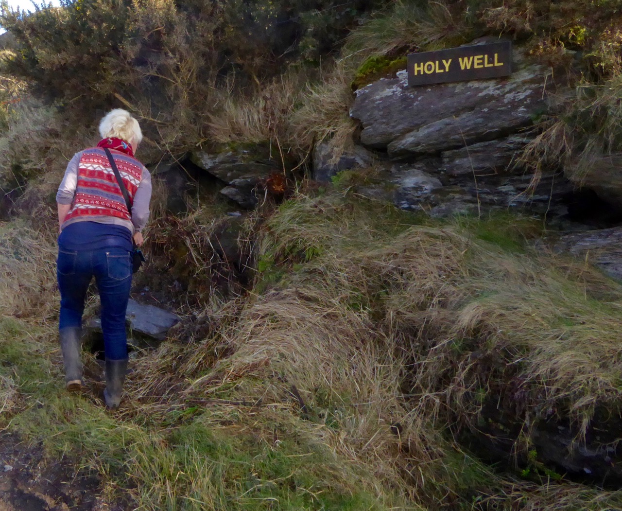
Our next holy well was right by the side of the road a couple of miles further east – labelled so we couldn’t mistake it.

Callorus Oughter

Amanda inspects Tobareenvohir – or Tobairín an Bhóthar, the Little Well of the Road

The final one was harder to find and necessitated negotiations of some seriously muddy fields. Tobairín Brón (Little Well of Brone) was in the general vicinity of where we ended up, along with a small monastic site – all very brambly and hard to decipher. But what a place – a view clear out to the Fastnet Rock, with Knockaphuca looming behind us. Cnoc an Phúca means the Hill of the Mischievous Spirit – it’s been tamed, presumably, by the large cross erected on its peak.

Monastic site

Knockaphuca

Fastnet Rock

Read Amanda’s post for her take on the four wells we visited that day.

By then the sun, so warming earlier in the day, had been overtaken by high cirrus clouds, and we were donning jackets and gloves and remembering that it was only February after all. As if to make up for its lack of warmth, it treated us to a magnificent solar halo (I’ve always called them sun dogs)  as we made our way back to the cars.

Sun dog

We were never much more than 30 kms (or about 40 minutes) from home but in that distance we managed to see heritage sites dating from the bronze age through the medieval period up to the recent past, surrounded all the time by the magnificent scenery of the Mizen. You can do this anywhere in Ireland. Using the Historic Environment Viewer of the National Monuments Service, define the area you want to explore, pick your fancy (ring forts? medieval churches? cross slabs? megalithic tombs? castles? rock art?), and off you go.

Peter and Amanda in a holy well

A holy well looks back at Amanda and Peter

Now, if you’ll excuse me, I’m off to buy some wellies…

Canty

slipway 2

On the north side of the Mizen we found Canty’s Cove. The little road which approaches the Cove from the west has been recently resurfaced, and there have been some major restoration works on the stone jetties and steps there. Don’t try to reach the Cove from the east side: a trackway is shown on the OS map (88), but it is virtually impassable – even on foot – at this time of the year, as the harsh winter storms have waterlogged the ground and submerged parts of it.

wild water

Wild coast beyond Canty’s Cove

Our reason for visiting the Cove? We were looking for pirates! Or, at least, for traces of them… We had heard that there are ‘pirate steps’ in the vicinity of the Cove, and we had unearthed some legends of Canty himself: a notable pirate and all-round rogue.

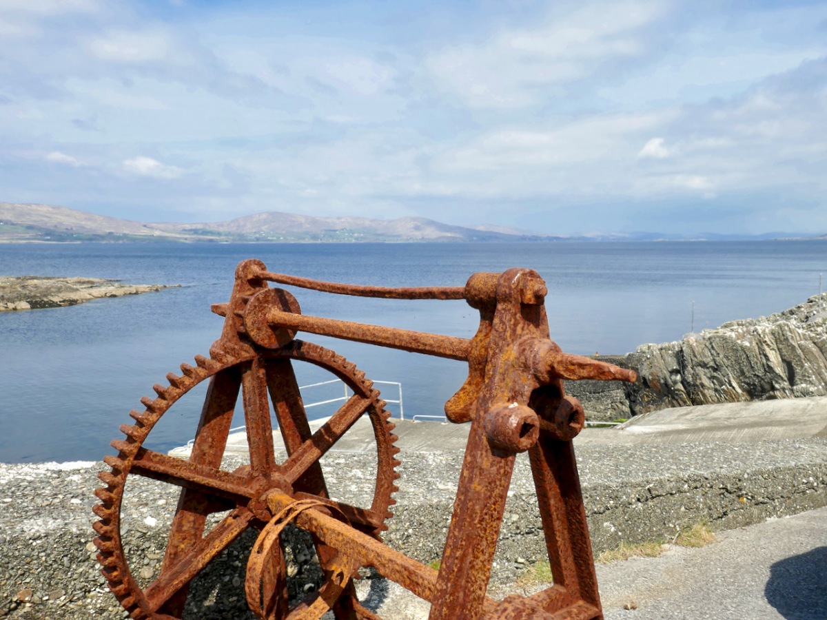
windlass

As with many of the ‘secret’ quays hidden away around the rugged and heavily indented coastline of West Cork, Canty’s Cove was used primarily by fishing boats, either working individually for shellfish or, communally, seining for pilchards, mackerel and herring. We have touched on seining in a previous post. It seems to have been brought to Ireland’s west coast by fishermen from Cornwall back in the sixteenth century. The shoals of pilchard, first seen in Mount’s Bay and around Land’s End in the early spring, naturally moved west and the fishing fleet from Cornwall followed them in July or August. Traditionally it was St James’ Day (1 July) that saw the start of the seining season in West Cork. For the next three months the pilchards were …dark, fat and full of oil… With the onset of winter the seine boats were laid up and the nets repaired and hung out in the lofts. The pilchard industry on Ireland’s west coast is said to have been most productive between 1550 and 1750, with millions of pressed and salted pilchards going by the barrel load to Spain, Portugal and France. Seining survived well beyond those days, although mainly then for mackerel. Northside of the Mizen records a very active industry within living memory:

…Both Canty’s Cove and Gurthdove had streams and the waters from them were used in the cleaning of the mackerel. When grading, the fish were sorted into bloaters (big), rags (damaged), medium and small grades, and you were allowed so many of each grade per barrel. The fish were then salted by rubbing coarse salt into them, and this happened twice with the second salt on the tenth day. On the second salt, the fish were packed flat into the barrel, and pickle was poured over the fish until the barrel was full. After the second salting the lid of the barrel was then put down, sealed with an iron hoop and the barrel was branded with the mark of the buyer, along with its weight and number of fish. The barrels were left on their sides and a hole was made three-quarters of an inch in diameter, which was closed with a wooden stopper. Tom Collins of Dunkelly West, as a boy, would earn one shilling a week by topping up the barrels with pickle after school. Salt added to water made a pickle that had to be strong enough to float a medium size potato with a six inch nail through it. The barrels were constantly filled with pickle until they went for export, when the wooden stopper was hammered home and the barrel stood up. One Cash and Tally of 132 fish would sell for five shilling in the nineteen-thirties. There could be up to 1000 barrels lined up in Canty’s Lane until November Dark…

fish table

Fish processing on the pier at Canty’s Cove, taken in the 1920s. This photo and the one below are from Northside of the Mizen

On the west coast, the last working seine boat was said to have put out from St Finan’s Bay, Kerry, in 1946. This was remembered by Mike Séamus O’Sullivan and recorded in The Kerryman in 2003:

…the place was alive with fish. We put out the seine and in no time at all it was full. We arrived below at the pier in The Glen with 24,000 mackerel and every man made £24 pounds that night – a fortune in those days…

dunkelly fishers

The fishing community of Dunkelly, late 1920s

But what of the pirates? I hear you all cry… And, is there any buried treasure…? Of course there is! According to an excellent article by John Hawke in the now defunct Mizen Journal, Jeremiah McCarthy of Dunkelly (who died in 1989) recalled how he and his forefathers had dug for gold as a boy – “The old people spoke of ‘Canty’s Gold’ that lay buried seven ridges from one of the walls and many have dug for it – it was great exercise, but we never found it.” Jeremiah told the story of how Canty was a pirate and robbed people who came to buy goods from him and then threw them over the cliff into the sea, from the door of his house in Canty’s Garden. In the Collection of Irish Folklore dating from the 1930s this story was recorded from a Richard Moynihan of Dunbeacon, then aged 59 years:

…Another secret building was situated in Goleen Parish. It was built across the quay leading from a hotel which was owned by a man named Canty. Lodgers often came to the hotel and the man used to take them back to the secret room. Whilst they were talking to him, he shifted a lock in the trap door which was in the room which caused the floor of the room to go to the side and the lodger was thrown down into the tide. He then had a net with which he hauled up the corpse and took whatever money he possessed. Around this place is ever since haunted. Lights were frequently seen there and cries were often heard…

Many other similar stories connected to the Cove have been told or written down over the years. Today, the place still has an otherworldly feel to it: partly it’s to do with remoteness and the barren coastline in this wild place. ‘Canty’s House’ and ‘Canty’s Garden’ can be identified on the cliffs above the Cove: they are marked on old versions of the OS map. All that’s left now are a few stone walls and a steep drop into the sea. It’s not hard to picture Canty himself disposing of his victims over the edge, nor to hear their cries on the wind, wailing across the centuries.

Canty's Cove

There are Cantys living in West Cork today. We shouldn’t brand them with the reputation of one who was possibly a forebear: after all, many centuries have passed since the time of Canty the Pirate – and we do live in a more civilised age, don’t we? In fact, the Cantys – sometimes O’Cantys (O an Chaintigh) – had a prestigious past: in the age of the castles they were bards, like their O’Daly neighbours across the water on the Sheep’s Head (it’s only four miles away as the seagull flies). Interestingly, I have heard it suggested that Canty’s House is actually the remains of the ‘lost’ O’Mahony castle at Dunkelly: the site is certainly impregnable.

Canty's Garden

The approach to Canty’s Cove seen from Canty’s Garden. The building on this site may once have been a ‘lost’ O’Mahony castle

Pirates, castles, seining, treasure – there are also the ‘Pirate’s Steps’, although they are very hard to find (and on private land, so seek permission if you go looking) and – evidently – the Buan, or ‘perpetual well’ (which we couldn’t trace): in all, a wealth of history and legend. We have to respect Canty for lingering in folk memory a good few hundred years…

For this research I am indebted to Northside of the Mizen by Patrick McCarthy and Richard Hawkes, Mizen Productions, 1999, Canty’s Cove – Legend and History by John Hawke, The Mizen Journal No 5, 1997, and also local memories, still alive. The fine view of the Pirate Steps (below) was taken by Peter Clarke, at great risk to life and limb…

Pirate Steps Canty's