Mizen Magic 25: Gortduv Loop (Fastnet Trails)

Ready for a longer walk? If yes – this one is 13.5km and has strenuous stretches. If not, don’t worry – there are lots of possibilities for doing parts of the walk, or for going with friends and leaving a car at strategic spots. We didn’t do it all at once, in case you get to thinking we are super-fit hikers. (The sad truth is we can’t be too far from a coffee shop.) As with all the Fastnet walks, keep dogs on leads – we did encounter both cattle and sheep on this walk, right on the road. There is a short stretch of ‘green road’ and although it’s well maintained, it might be muddy after rains, so good shoes are essential.

This loop takes you from Goleen on the south side of the Mizen right across the peninsula to the fabulously scenic north side. It skirts along the edges of the valley that runs between Knocknamaddree (Hill of the Dogs) to the west, and Knockaphuca (Hill of the Pooka, or Mischievous Spirit) to the east, rising to a maximum altitude of 180m (or about 600 feet). Most of the altitude is gained in the first half of the walk – so a packed lunch and water will be both welcome and needed if you’re doing the whole walk.
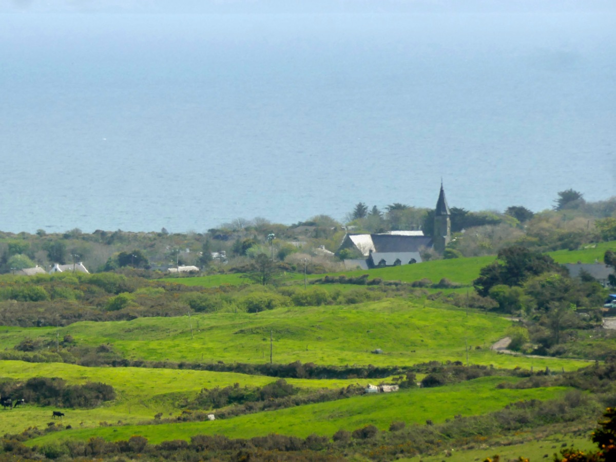
Set out from the Goleen Community Centre and the first part of the walk is shared with the Lissagriffin Loop – see our recent post on that walk. As you ascend, the views are immense – back to Goleen and across to Knockaphuca and Mount Gabriel beyond it.
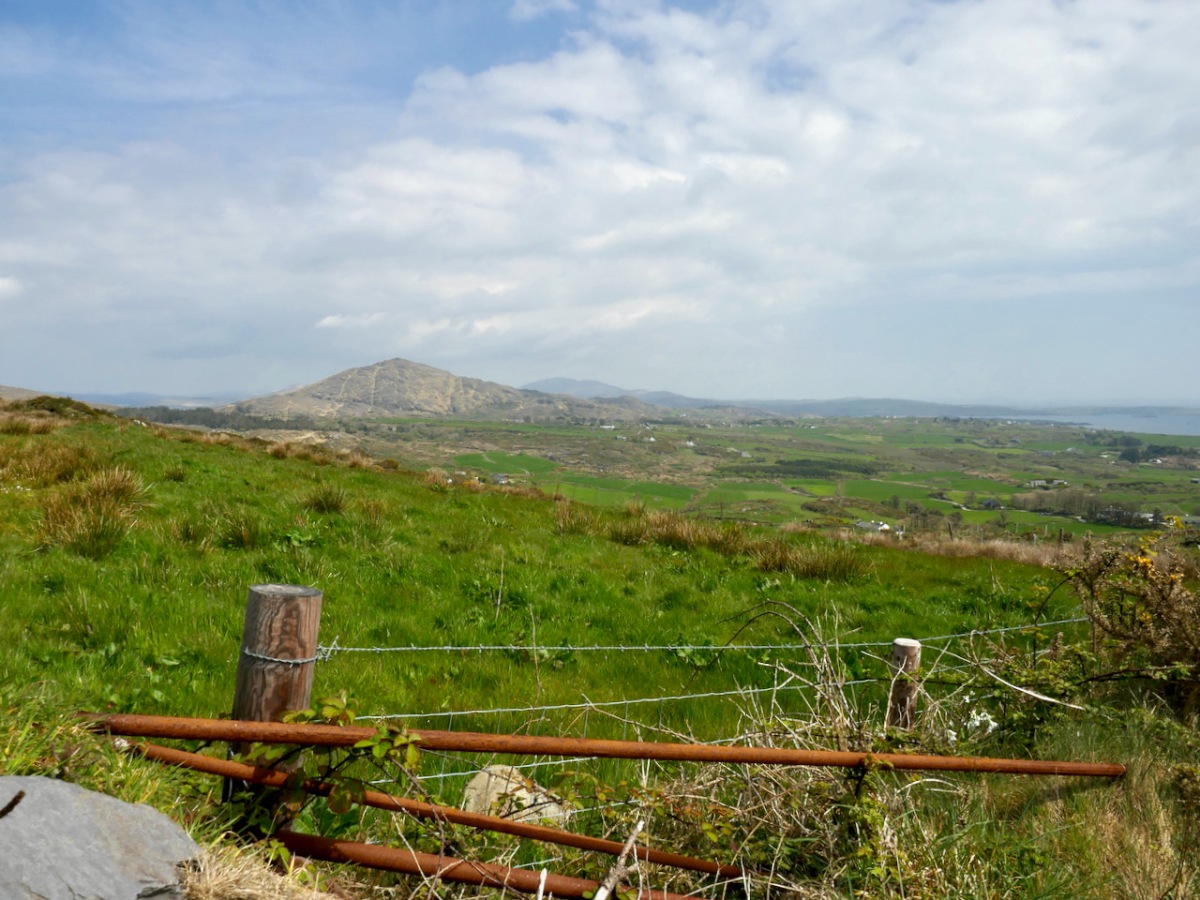
You’ll have to dig into your reserves of energy (or maybe have some chocolate) as you continue the climb. You are in true mountainy heathland now – look out for orchids in the spring and early summer, or Cuckooflower (below) in damp ditches.
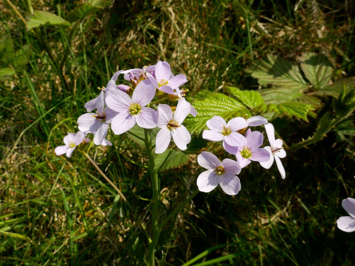
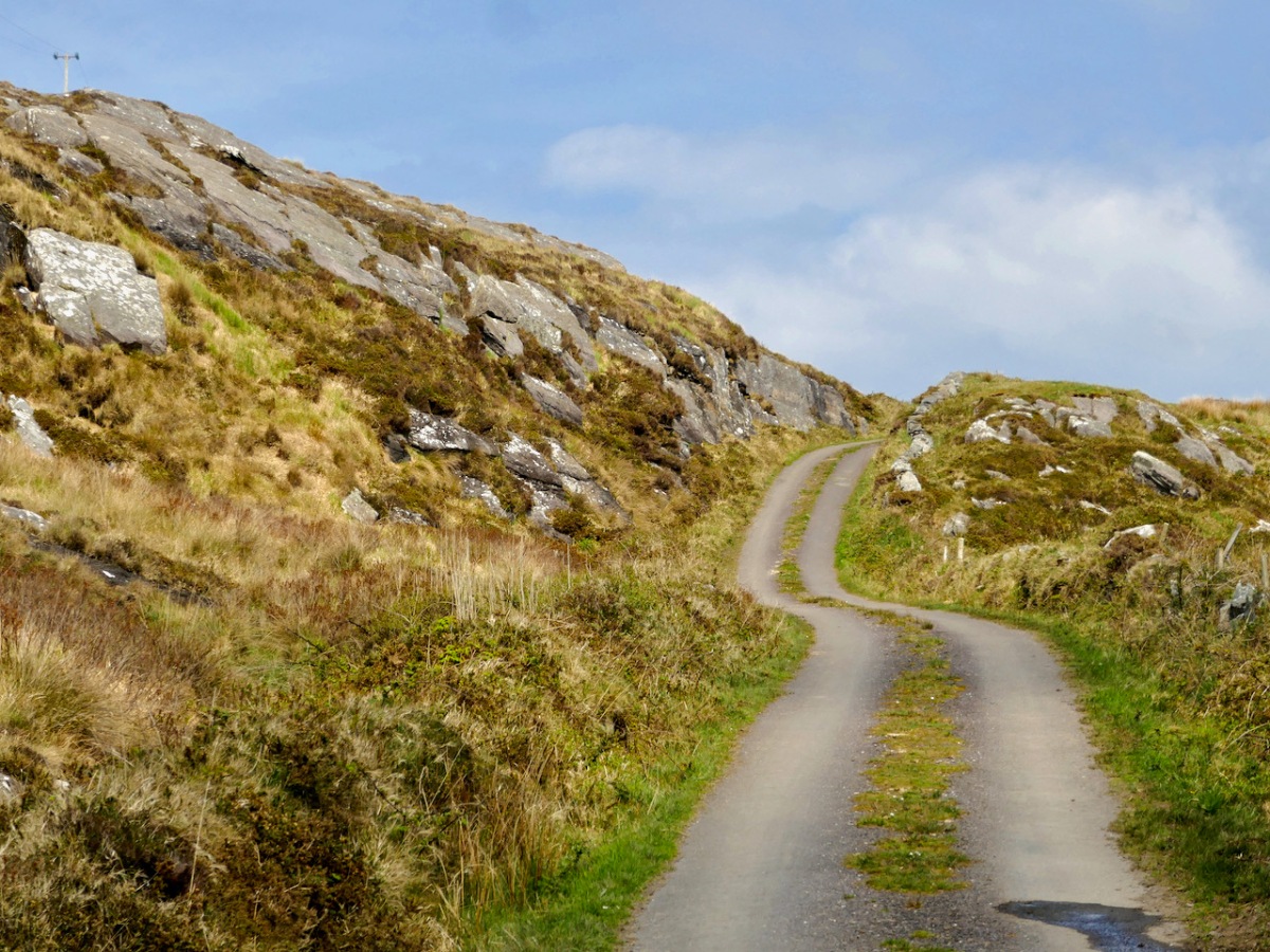
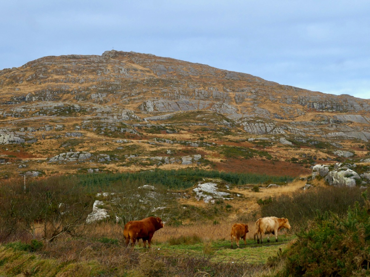
Watch out also for cattle on the road – we were startled by a line of plodding cattle coming towards us, and even more startled when we realised that one was a mighty fine bull. Fortunately, they turned into a field before we reached that spot, but there was no human around and the gates were open, so we can only assume we were simply in the wrong place at the wrong time as it is very unusual (although not unknown) to see cattle wandering like this.

Coming over the top of the hill you have the whole of Dunmanus Bay in front of you and you can see clear up to the head of the bay, across to the Sheep’s Head, and to the Mountains of the Beara behind that. Have a nice sit down on some convenient boulder here – you deserve it – and just absorb that breathtaking sweep of land and sea.

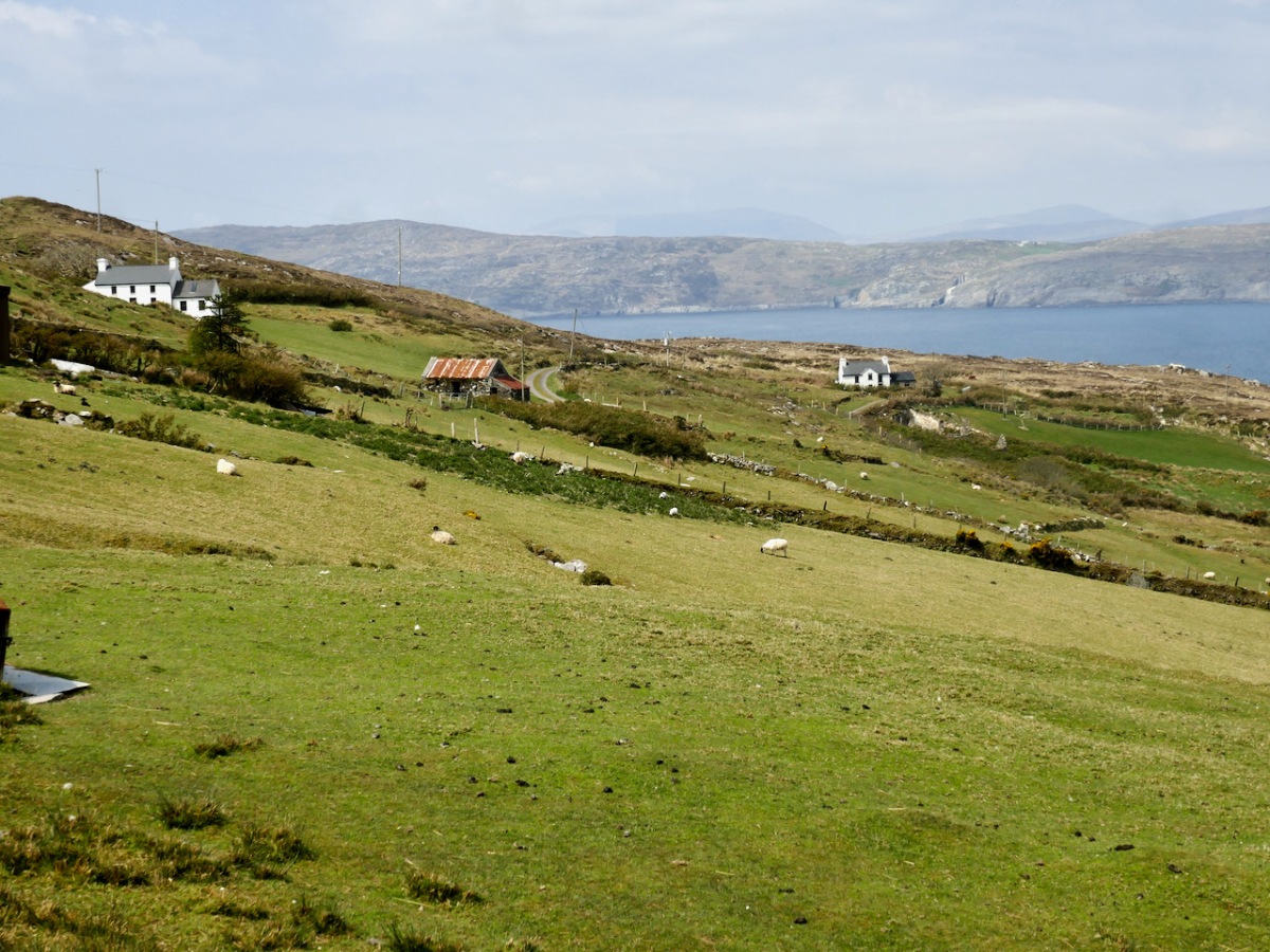
And talking of sea – you’re heading down now towards it, past picturesque stone farm buildings and beautifully renovated cottages until you arrive at Dooneen Coos (the Cove of the Little Fort). Along the way we ran into a shepherd moving his sheep up into higher ground, with the aid of the marvellously well-trained dogs that attend to their business but also like a good pat.
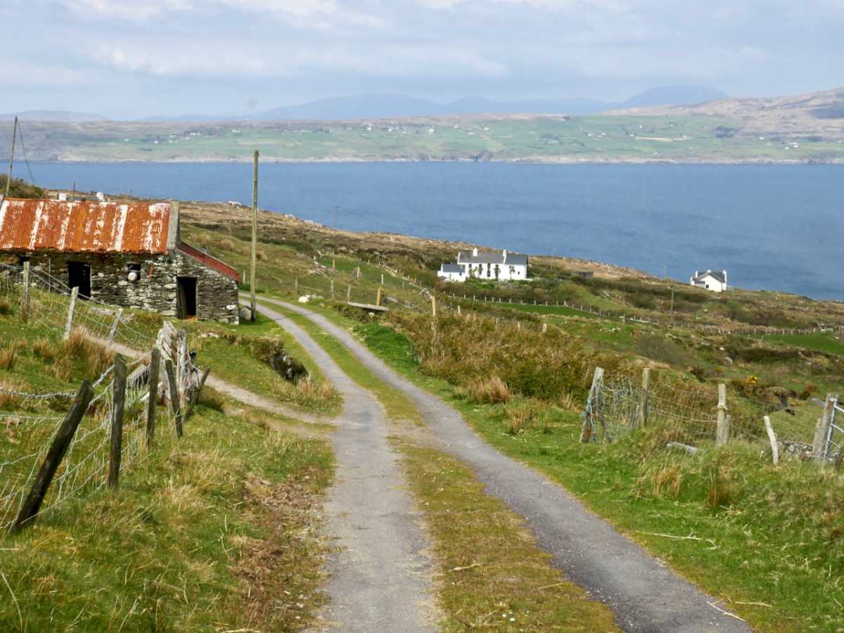
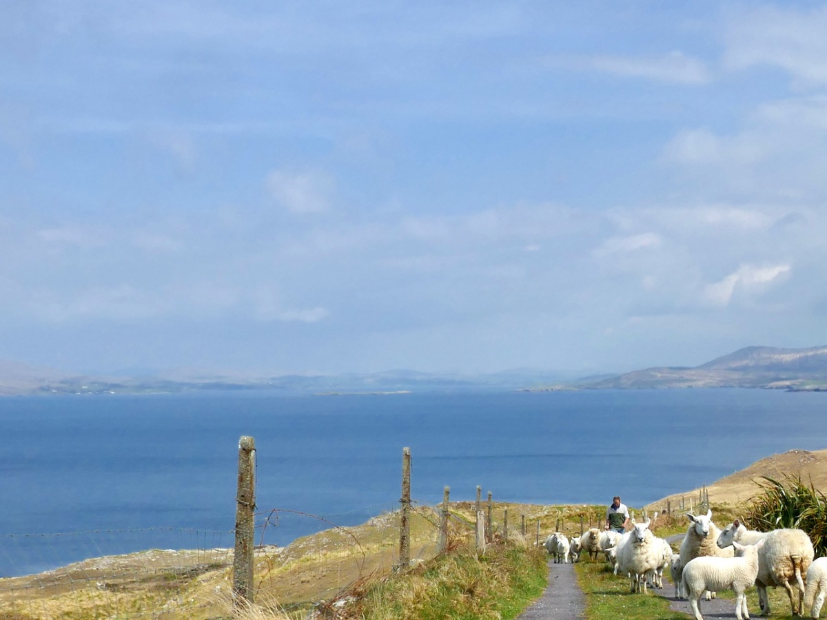
Dooneen Coos is a good spot for lunch – or even a swim if you’re that way inclined. it’s close to the peninsula we wrote about in our post Mizen Magic 23: Lackavaun and The Meallán so you can always take a side trip there if you wish. This might also be a good spot to leave a car if you’re not doing the whole loop on this occasion.
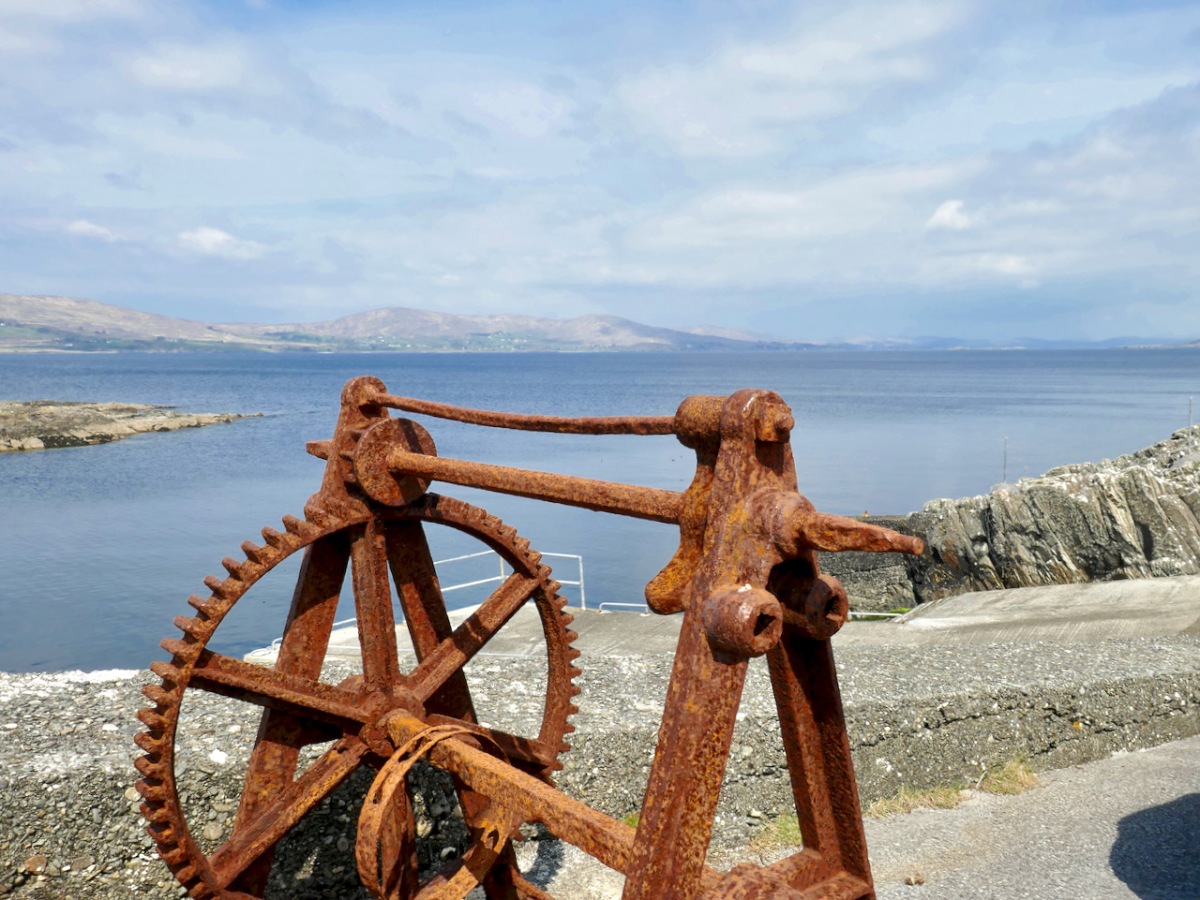
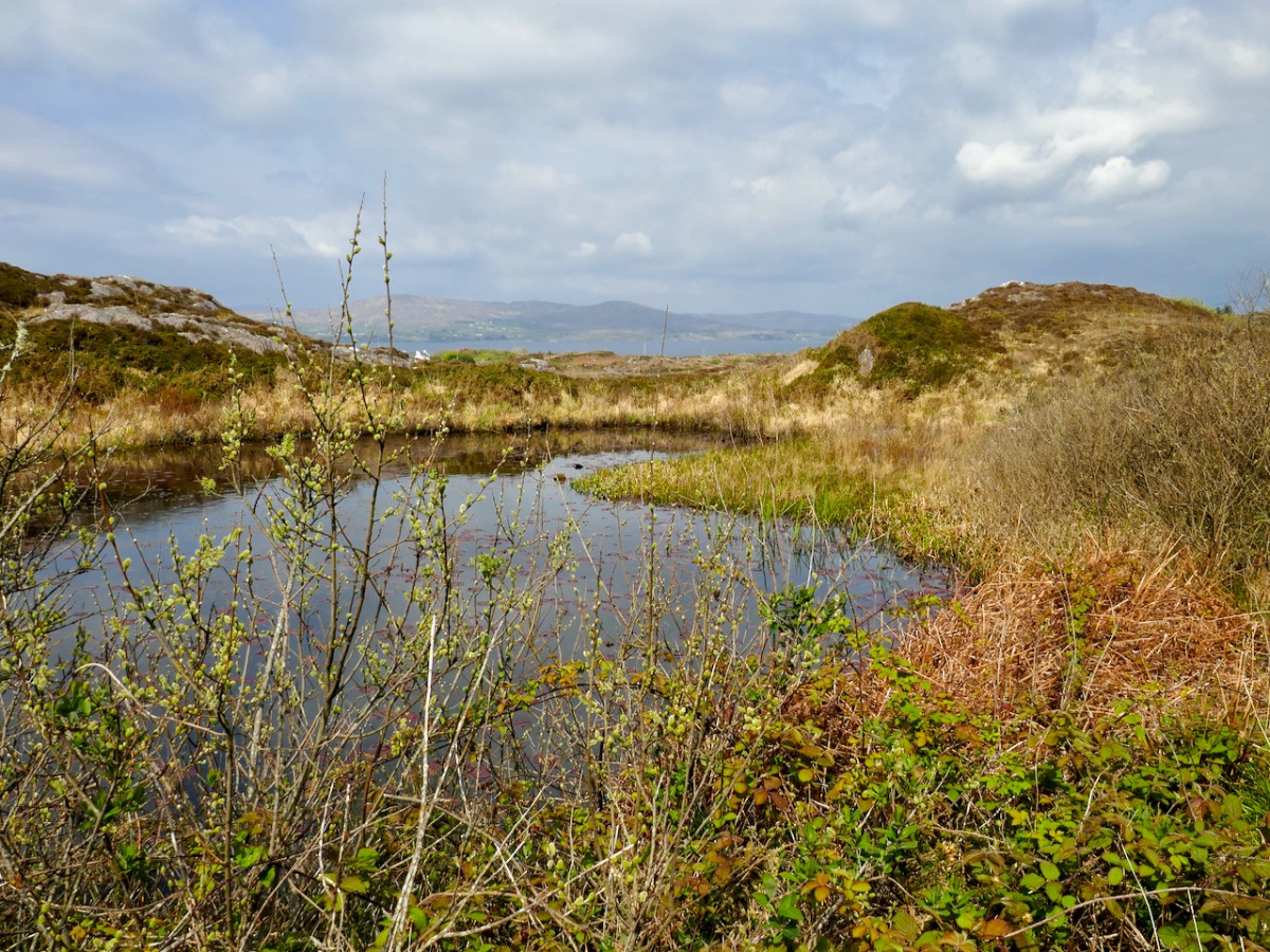
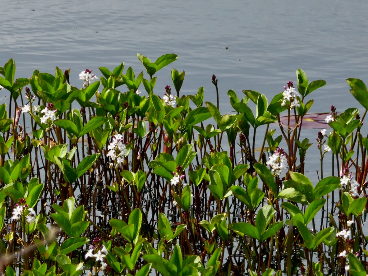
But if you’re carrying on, you’re now heading towards Dunkelly and the storied inlet known as Canty’s Cove. Read all about it here. Here, because we have been to Canty’s Cove lots, we took the short cut – marked in orange on the map. The compensation is that this stretch contains the remains of old ruined cabins and clacháns (hamlets) along the road, as well as a beautiful pond which, at the time of our visit was full of flowering Bogbean. 

From Dunkelly the road turns back along the slopes of Knockaphuca  and along the way there’s a  bit of a surprise – an old store that once supplied necessities for the population of this area but which has not been viable for many years. No doubt local people have all kinds of memories and stories about this one. I was taken by the keys, still hanging above the door!

By now we were on the stretch of road that this loop shares with the Knockaphuca Walk and that’s a walk you HAVE to do, if you haven’t already. Possibly the jewel in the Fastnet Trails crown. Crossing the main Schull-Goleen road we head down to Ballydivlin. 
We’re at the sea again now, back on the south side of the peninsula, looking across to Castlepoint (and Leamcon Castle) and out to the Fastnet Rock with its iconic lighthouse

It’s been a long haul but SO worth it – wouldn’t you agree?
The Fastnet Trails website is coming soon. We will update this post with that link once it’s finalised and active.

681 Days!

Yes – it has been 681 says since Covid-19 hit us and our world changed. From today, 22 January 2022, most restrictions in the state are gone, apart from the continuing need to wear masks in certain public places. Hopefully that West Cork sky over our house this morning, above, is a good omen for us. Today’s paper shows the stark tally:

The population of the Republic of Ireland as I write this is 5,023,337 (no doubt that is changing by the minute). That tells the story: 22.6% of the people here have had the virus. And of course it hasn’t gone away yet… But at least “social and economic life can begin to return to normal” says the Taoiseach. In order to mark the significance of the moment, my post looks back to our experiences over the last 681 days: in particular, how our lives changed at the beginning of the outbreak.

These two images of Ballydehob, taken at the beginning of April, 2020, sum up the shock of empty streets, closed businesses and everyone being advised to isolate. It all seemed very bleak: our movements were initially restricted to 2km from home, then that increased to a radius of 5km. If you lived in rural areas – as we do – you were permitted to travel beyond those distances if you needed to in order to shop or use essential services. We breached those rules on occasion – sometimes to get exercise in the deserted countryside all around us.

As the days went by, an amazing spring emerged, with day after day of beautiful weather. Human activity was curtailed, but the natural world continued along its course as though nothing was awry!

We humans are pretty adaptable. It was amazing to see the ingenuity of folks creating outlets for their energies without having to mix. Food-on-the-go blossomed as a craft industry: here are some examples.

We were very impressed with many of the examples we encountered – and which have survived over the months. Hopefully they will carry on, as casual coffee stalls in the middle of nowhere are welcome to us in our travelling. Pre-pandemic they were probably frowned upon by ‘the authorities’ – and they are certainly regulated – but ‘authority’ would have had to be very hard-hearted to close down these little lifelines. In our experience, every one we encountered was well-run, and spotless. It was an incidental opportunity to have a distanced ‘chat’: always a source of good local information on how others were coping.

We took the opportunity to climb – and descend – Knockaphuka during the pandemic. It’s a mountain a short distance from Nead an Iolair, but a little outside the limit. No-one was watching! I suppose being restricted to our immediate environment for so long – day after day – made us re-assess it, and our lives. Certainly we have got to know the fine detail of the beautiful place we call home.

Here’s a social issue: we couldn’t get a haircut for months! Finola kept me in trim, but it was a relief when salons were once again allowed to operate, albeit with some restrictions.

This is us having coffee on our own terrace, looking out over Roaringwater Bay in the wonderful spring of that first pandemic year. In fact, each of the two last years has been benign – with a few exceptional winter storms. We would have felt less relaxed if we had had persistent rain (which sometimes happens).

A sprig of green appears on a doorstep on May Day, 2020: a sign that we all still want to continue the old (perhaps ancient) traditions… There were ups and downs: things eased as the year went by and then the new variations came in. Numbers went down and we breathed out. Then they soared – especially with the Omicron variant, and everything went haywire again. Let’s hope that the present easing is here to stay. But the future can never be told…

Sanctifying the Landscape: Holy Year Crosses in Ireland

In 1950 Pope Pius XII declared a Holy Year – and galvanised Ireland. It was the height of a certain time of Catholicism in Ireland – fervent, highly-organised, state-sanctioned – and the Pope’s decree was embraced with enthusiasm.*

First of all, what is a Holy Year? It’s a year of special devotion and penance, and a year in which, through following certain prescriptions, you can gain a Plenary Indulgence. Sounds a bit medieval, doesn’t it? But the concept of a Plenary Indulgence isn’t quite the same as the Cash-For-Forgiveness schemes that brought about the Reformation – you earn it, rather than buy it, and it gives you a Time Off For Good Behaviour Card to shorten your sojourn in Purgatory. As you can imagine, this is an attractive proposition for an ardent believer, steeped in all the ritual and dogma of Catholicism – and that described almost all of us in 1950s Ireland.

A wonderful short film about the 1950 Holy Year in Rome

The Holy Year itself involved many rituals. The Pope declared it open by knocking on the first of four Holy Doors in Rome and finished it by sealing up the door again at the end. Pius XII encouraged those who could to make a pilgrimage to Rome.

In response, Ireland mounted a National Pilgrimage, led by the President, Seán T O’Ceallaigh. Take a look at how British Pathé covered this event. Aer Lingus laid on specific flights: A special return fare of £54 from Dublin or Shannon to Rome, valid for 30 days will apply during the Holy Year. Passengers may travel via London, Paris or Amsterdam and may break their journey at any scheduled stopping place en route provided that the stopover is specified at the time of booking.

The Post Office issued a special Holy Year set of Stamps (above). The national radio station started its tradition of playing the Angelus every day – still going strong despite frequent calls for a more inclusive time marker. Everything about the official Government position telegraphed the statement – We are a Catholic Country.

Edwardian Bray, Co Wicklow – the famous Promenade is there but no cross yet

But how did this ultra-Catholicism manifest itself in individual communities? Besides specially organised missions, sodalities, novenas and parades, many towns and villages decided to mark the year by erecting monuments. Somehow the notion of hilltop crosses became The Idea of the day – perhaps it was suggested by John Charles McQuaid as a suitable mark of respect. And all over Ireland plans got underway to erect tall crosses on top of the local prominent landmark.

The Bray of my childhood, with the cross now in place, as it is today (Thanks to Bray – Did You Know…? Facebook Page)

Many (most?) of these 1950 crosses have survived and have become imbedded in our consciousness as a ‘natural’ (in the sense of ‘expected’) feature of our Irish landscape. Few today remember the impetus which led to their erection. At the time, there were fund-raising drives and committees and huge ceremonials attached to the actual situating of the crosses.

The Bray Head Cross: one of several routes up to it; the 1950 plinth; a popular spot

We have visited several of these crosses lately. I grew up in Bray and as anyone who has ever been there knows, the town is dominated by Bray Head, and Bray Head is dominated by its Holy Year Cross. It’s become the thing to do, to walk up to the cross – there are at least four ways up to it and they’re all spectacular. Sitting at the base of the cross enjoying a well-earned rest, we reminded ourselves that when it was erected over 5,000 people attended the blessing ceremony.

More recently, here in West Cork, we walked up to two crosses, the first at Knockaphuca on the Mizen (above and below). The Knockaphuca walk (it’s fantastic!) was the subject of Robert’s post a few weeks ago. The cross here is a replacement for the original wooden one that had rotted away, finally falling way back in 1968. The memory of the cross was still strong in the community, though, and the local GAA club conceived of a project to re-erect it in 2011 as a symbol of hope and re-assurance in these challenging times and a call to prayer in our hour of need. The challenging times was a reference to the global recession, which hit Ireland badly and ended the reign of the Celtic Tiger.

The volunteers took things a little further than they would have in 1950 and carried up with them an array of solar panels. Thus, this is a very modern re-incarnation of the traditional Holy Year Cross – a glow-in-the-dark model. They called it The Cross of Hope and as such it recalls the beacons that lighted many a weary sailor’s way into safe harbour.

This week we walked up (above) to the cross on Dromore Hill. This one is clearly visible to anyone travelling between Drimoleague and Bantry, on a hill behind the village of Dromore. (Special thanks to Oliver Farrell and Bridget Threthewey for directions.)

The cross is visible from many spots, including from this five-stone circle at Trawlebawn

It’s a lovely walk and the cross looks like it may be original, although it may also have been replaced. It is still a focus – most years the local parish of Caheragh organises a mass at the cross in August and it’s always well attended. It’s another one where lights have been added, this time in the form of fluorescent strips. We couldn’t figure out the power source though – electrical lines disappear into the ground. Very mysterious.

The cross with its 1950 Holy Year Plaque and a space for an altar for the annual mass

St Lachtan’s Holy Well is situated south of Ballyvourney and in 1950 a group of volunteers from the Ré na nDoiri branch of Muintur na Tíre decided to erect a cross on the well to mark the occasion. This one is not on a hill top – in fact it is quite hard to find, but the plaque, in Irish, confirms it as a Holy Year project.

St Lachtan’s Holy Well (the two bullaun stones below the cross) and its Holy Year Cross

Our final local cross is one we haven’t been up to yet – a future project. It stands on a hill between between Skibbereen and Lough Hyne – I’m not sure what the townland name is, it looks like its on the boundaries of Gortshancrone, Booleybane and Curravalley.

If anyone local knows about it, or can tell us the best way up, we would love to hear it.

It wasn’t always a cross – the people of the beautiful Glen of Aherlow in Tipperary decided on a giant Christ the King statue (above). It’s visible for miles – the current one a 1975 replacement for the original and made by the same firm. According to the signage it depicts the hand of Christ the King, raised in blessing the Glen, its people, and all those who pass by.

However, crosses (that’s the one close to Skibbereen above) seem to be the most frequent choice to commemorate and mark the 1950 Holy Year. Do you have one close to where you live?  Have you been to it? Is it still in some form of use (for annual masses, say)? Is it valued by the community?

*There have been other Holy Years (officially they occur every 25 or every 50 years) but the only other Papal-decreed year of devotion that made the same kind of impact in Ireland was the Marian Year in 1954 – see our post Mary Mary for a quick description of the Lourdes Grottos that proliferated that year.

Mizen Mountains 5 – Knockaphuca

Perhaps one of the most satisfying mountains on the Mizen, the 237m high Knockaphuca provides a well maintained waymarked trail best tackled as it is laid out – in a counter clockwise direction. You will go up the east side and down the steep west face. If you are lucky with the weather, as we were just before the longest day, you will have an experience which is hard to rival in this corner of Ireland. The loop walk is one of the latest sections of the Fastnet Trails which have been established to the west of Schull during 2019. All credit is due to the team which has so successfully organised and laid out these trails: this has involved much behind-the-scenes hard work.

In fact the full Knockaphucka Loop trail starts in Goleen, and is 10km long. We joined it as it leaves the R591 road north of the village (upper picture – the route goes off to the left). The map above has the mountain section (which we followed) superimposed on the Google Earth contour information. The section we walked is 6.6km long, and climbs about 200 metres.

One of the first landmarks on the way is right at the point where the marked track to the mountain leaves the main road: Ballydevlin Old School House (above). There is another ‘Ballydevlin Old School’ nearer to Goleen; presumably one was the National School (established c1831) and the other may have been a denominational Church of Ireland school. This peculiar Irish duality still exists today in many places.

Once on the marked track you are in a paradise! An ancient green road takes you part-way up the mountain, passing through small gorges which must have been cut out long ago: even if you are not a geologist you can’t help being impressed by the rock formations – they could be works of art.

After a while the path turns to the east and follows narrow, grassy glens bordered by majestic, serpent-like outcrops. It’s here that the views begin to open out, particularly to the south. Always you think that there couldn’t be a finer prospect over the Mizen and across the islands of Roaringwater Bay, and always – as you climb higher – you are surprised by the next, which is even better.

Twists and turns take you more steeply across the contours and swing round towards the summit. Only then is the full picture revealed: the whole landscape set out below you – every rift, valley and glacial glen with the higher land beyond culminating in the crests of Gabriel, 407m high, to the east, and the ‘little’ Mizen Peak, 232m high, to the west.

You won’t get lost as you head for the summit: this mountain had a distinctive cross placed at its highest point in the Holy Year of 1950, which reportedly fell in 1968, leaving the inscribed concrete plinth intact. The photo below shows the plinth in 2006 – courtesy Richard Webb. A new cross was installed in 2011 by a community effort led by the local GAA: this is now visible from much of the trail. The plaque mentions ‘…these challenging times…’, referring to the financial crash that hit Ireland so badly around that time. Illumination of the cross today is provided by photo-voltaic cells.

When you get to the top – pause… Now is the opportunity to appreciate the spectacular views in every direction. On our outing the south wind had been building up all day and was at its strongest in the late afternoon, when we gained the summit. It was pretty hard to remain upright! In fact, I wondered if we were being given a message by the resident Púca whose domain this is, after all?

The path down descends quite steeply: make sure you are well shod and vigilant. But you are in for further treats: the marked way passes by some peaty mountain tarns which are exquisite in their pristine beauty. Finola was in her element finding undisturbed native species such as water-lilies and sundews.

The mountain trail section ends on the small boreen running to the west of Knockaphuca, but the waymarkers will lead you back to the starting point, and there are still views up to the summit to enjoy, along with some landscape features on the way to continue to stimulate the senses.

What more could anyone want from a day’s outing in West Cork? Well – a bit of local history, perhaps. I searched for stories about the hill, particularly about the Púca – but only turned up this one told by Jerry McCarthy and included in Northside of the Mizen, the invaluable collection of Tales, Customs and History produced by Patrick McCarthy and Richard Hawkes in 1999:

The Púca of Knocnaphuca


The old people would feed the Púca of Knocnaphuca on ‘Snap-apple Night’, or indeed, whenever one had call to travel up the hill. It was the wise person that fed the Púca the night before going up. Milk and cake would be put on a plate and left outside the house and by the next morning the food had always gone!


The Púca of Knocnaphuca was half horse and half human. One late Snap-apple Night there was a young lad out walking the road when he heard a strange, sweet music coming from the hill. He went up and saw the Púca playing on a whistle. As soon as the lad had put eyes on it, it stopped playing and caught him. Away the Púca went to the top of the hill, where a crack opened up in the rock. In they went. They were twisting and turning down through tunnels until they entered a chamber full of gold. “Now,” said the Púca, “you are mine!”…


The next morning the boy was found on the road by the Long Bog. His hair had turned white and he could not speak a word ever after.

Thank you to our artist friend Hammond Journeaux of Ballydehob for this wonderful drawing of ‘Pooka’, included in The Little People of Ireland by Aine Connor, illustrated by Hammond, The Somerville Press, 2008. Púca in Ireland has counterparts in Cornwall (Bucca), Wales (Pwca), The Channel Islands (Pouque) and Brittany (Pouquelée). A shape-shifter (Flan O’Brien’s character from At Swim-Two-Birds, the Pooka MacPhellimey, changes his appearance by smoking from a magic pipe), the Púca most often appears in Ireland as a fine black stallion with red eyes. If you meet him, you have to mount him and he will take you on a journey far across the sea. It will seem to you as though you had been away for only a few hours, but the world will have moved on several weeks, perhaps months, during your absence. We saw no trace of the creature in June but, perhaps, if we climbed this mountain in the November Dark, we would have more chance of an encounter.