An Artist’s Encounter with West Cork

Perhaps this book review is a little late arriving? The book was – after all – published by Brandon of Dingle in 1990: thirty two years ago! The artist, and I, were in our forties then. But – don’t hesitate – although it’s out of print you can find copies readily available on many booksellers’ websites. You can spend a Euro (the postage will cost four times that!) or many Euros: but it’s well worth whatever you have to pay.

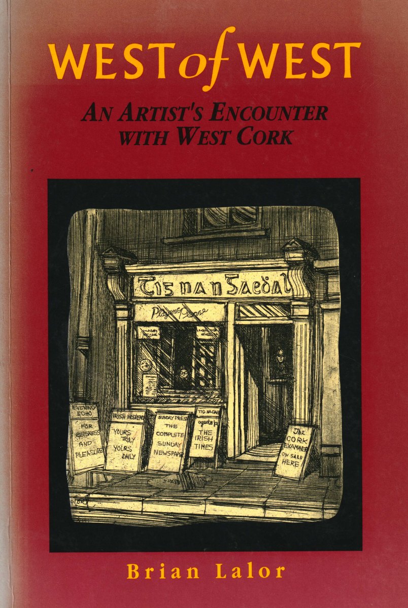
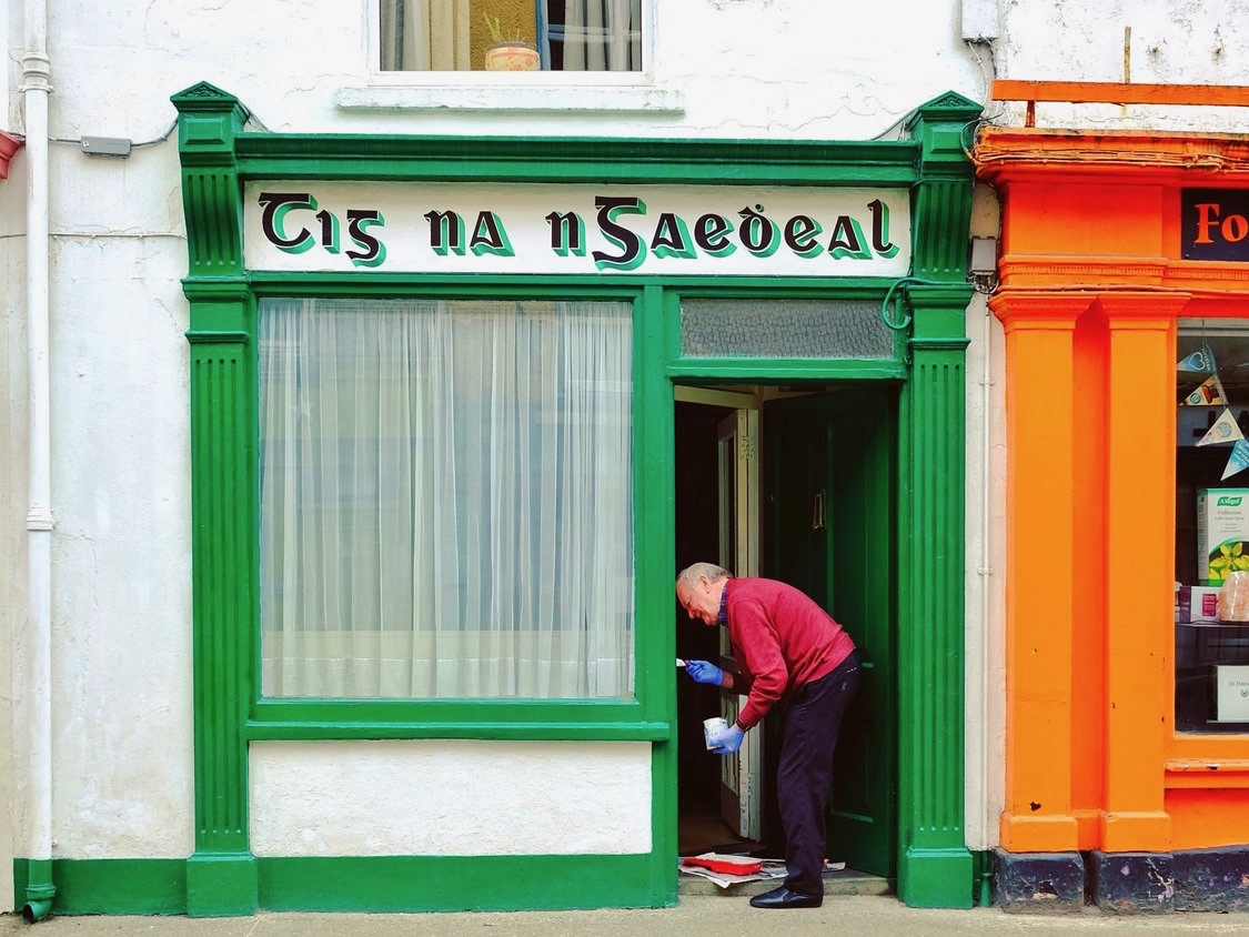
Here it is: a modestly sized paperback volume. But it punches well above its weight. It is beautifully written, and exquisitely illustrated. For everyone who is interested in West Cork, Ireland or the art of engraving it’s a must for your bookshelves. And, historically, it’s fascinating: the cover picture, above, shows Tig na nGaedheal (locally known as Brendan’s) – once described as ‘the greatest and most famous sweet shop ever in Skibbereen’. Sadly, Martha Houlihan, who ran it with her husband Brendan, passed away a little while ago and the shop is no longer trading. It’s still a significant feature in the town streetscape (below). Note the figures looking out of the door and window in Brian’s etching – a typical humorous touch.

The book includes nigh on a hundred of Brian’s engravings. This is only a fraction of the huge body of work he has created in his lifetime to date, and he’s never idle. It’s good to know that Uillinn – the West Cork Arts Centre gallery – has a retrospective of Brian’s work in the pipeline. It will be impossible to show more than a fraction of the art he has produced so far, but we certainly look forward to experiencing that selection.

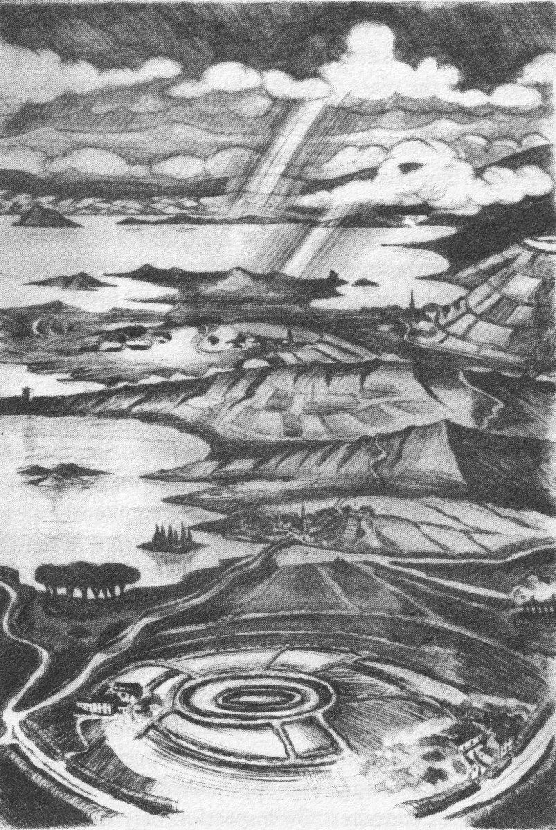
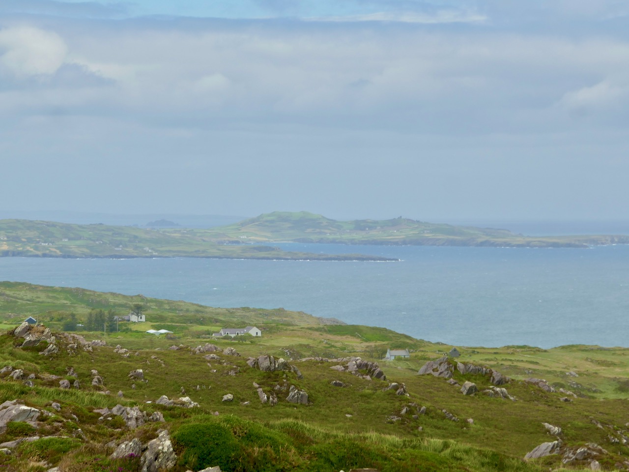
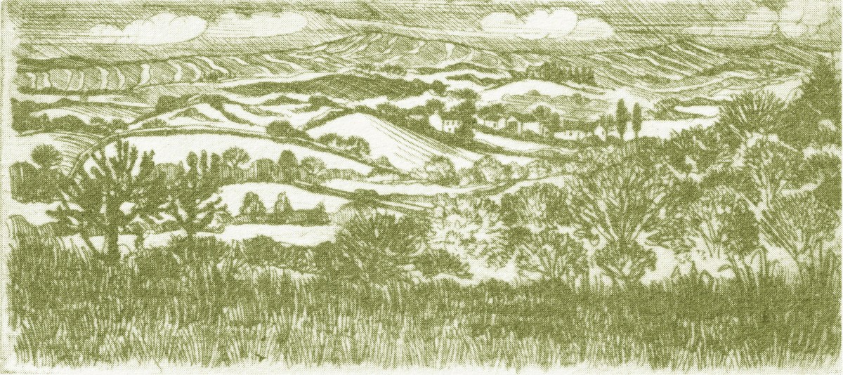
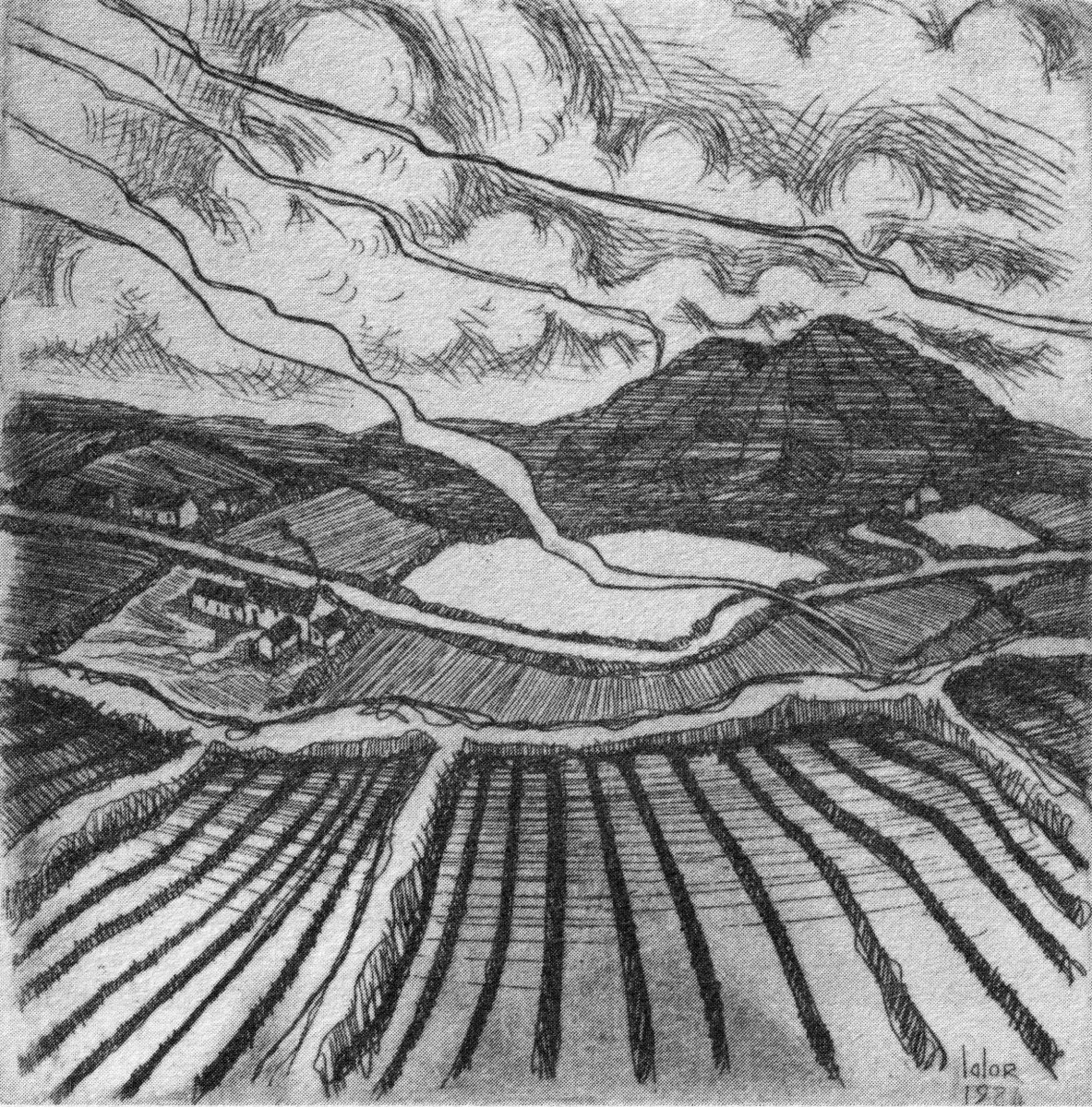
What I personally enjoy about Brian’s works in this book is the atmospherics that they create. Take, for example, The Dark Edge of Europe, above. The breadth of its content is overwhelming: it’s the landscape of West Cork summed up in gradations of grey, with coastline, lanes, settlements, hills and distant mountains, focussed on a foreground which features an ancient hill-fort. A tale of occupation and morphology: an eternal human story. The illustrations in the book are accompanied and amplified by wonderfully crafted written descriptions.

. . . Defining the high spots in the ribs of land, and distributed with apparent regularity all over this landscape, were lush green rings. Single, and occasionally double or triple concentric rings of grassy banks, these features resembled a giant’s game of quoits, forgotten and left to decorate the landscape. The gargantuan quoits are of course the ring forts or fairy rings of the Irish countryside, and outlined the forms taken by the rural farmsteads and dwellings from pre-Christian times down to the sixteenth century. Each ring represented an earthen rampart on high ground, with perhaps a dry moat or further rampart encircling some wattle huts. Simple and utilitarian, this form of dwelling satisfied the political and practical exigencies of the day – or aeon, for that matter. Rural life was lived in the midst of the land, without congregating in towns or villages . . .

The Land of Heart’s Desire: West of West, Brian lalor

Mount Gabriel dominates much of the landscape in our part of West Cork. Brian’s view, above, is titled Mount Gabriel Gorse Fires. The artist ‘discovered’ remote West Cork back in the 1970s. In the book he describes the journey:

. . . The road wound away into the distance, a ribbon of reflected light, and the weaving shapes of the blackthorns threw a black Gothic tracery across the landscape. The immediate surrounding had a silvery sharpness, the precision of a lunar landscape; brightly outlined walls enclosed pools of darkness. We were no longer at the door to West Cork but in its very interior. We had arrived . . .

Well Met By Moonlight: West of West, Brian Lalor

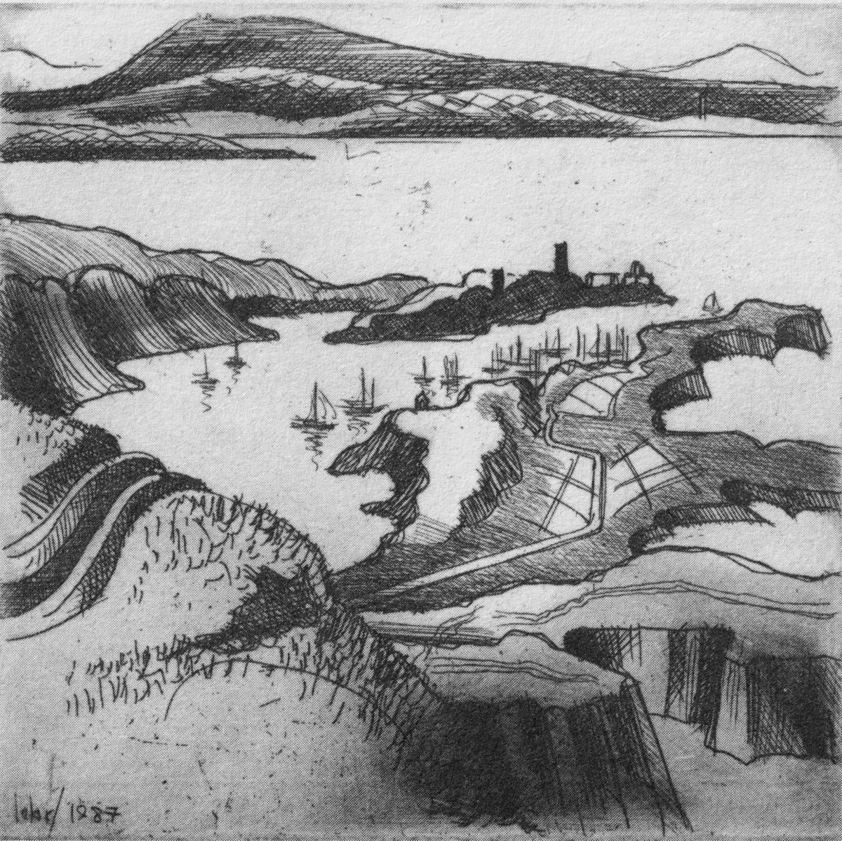
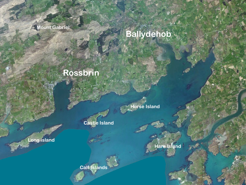
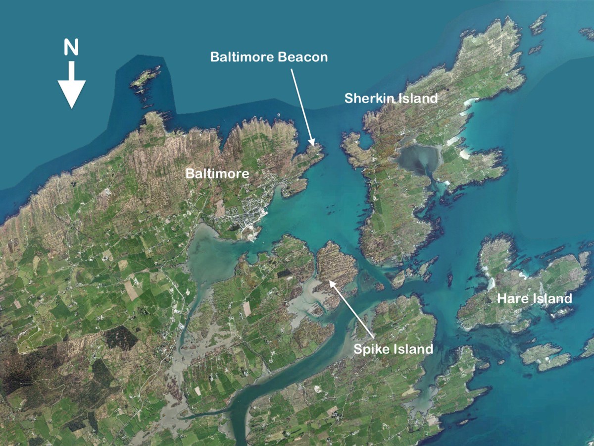
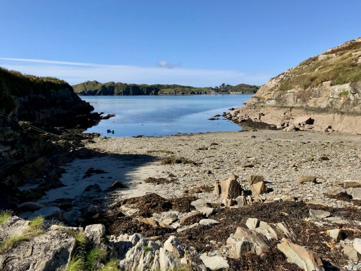
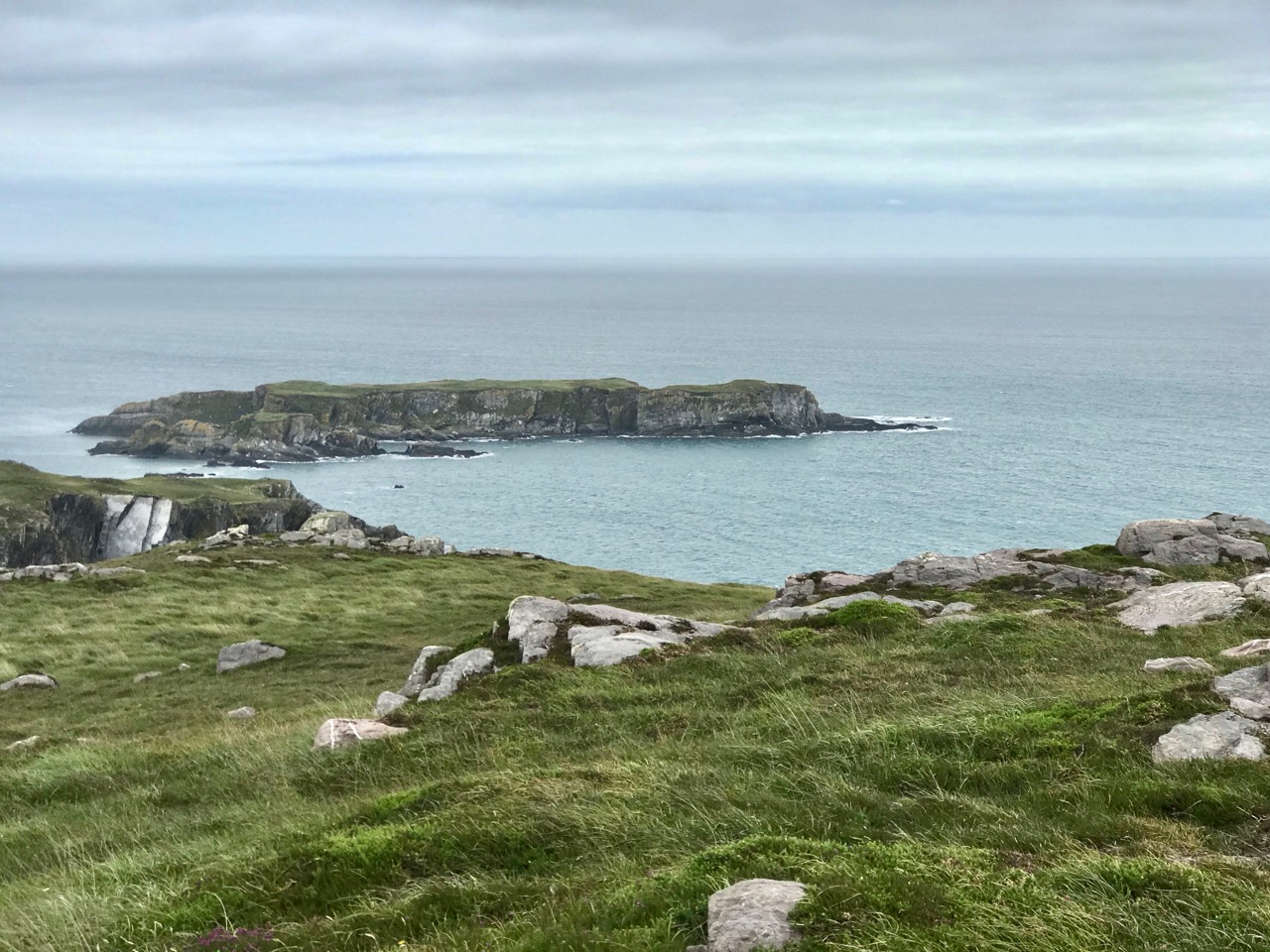
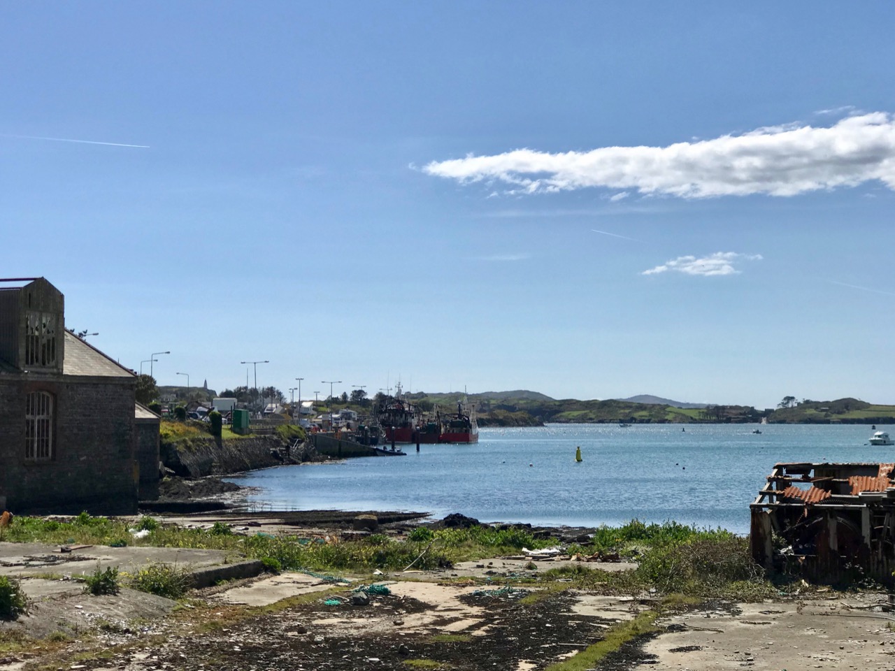
Essential to the intimate knowledge of West Cork’s landscape is the sea – and the coastline which encompasses it. This view is titled Rock Island & Crookhaven. Brian enhances the rendering with a description:

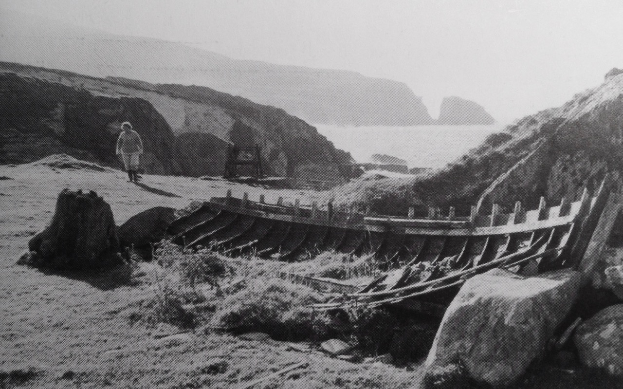
. . . From the heights of Brow Head the outline of Rock Island at the mouth of the harbour resembles a partially submerged submarine, its twin customs-observation buildings the conning towers of this strange naval mammoth. An ill-assorted collection of buildings adhere like barnacles to the back of this submarine: the roofless lighthouse barracks, a defunct fish factory and an abandoned, rambling Victorian mansion suggest an unfavourable location. Wedged in the little cove in front of the mansion is the hulk of an old wooden trawler. A graveyard of vanished days and forgotten hopes . . .

Coastline: West of West, Brian Lalor

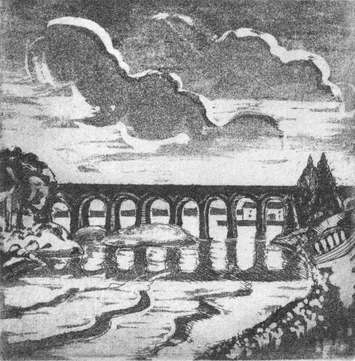
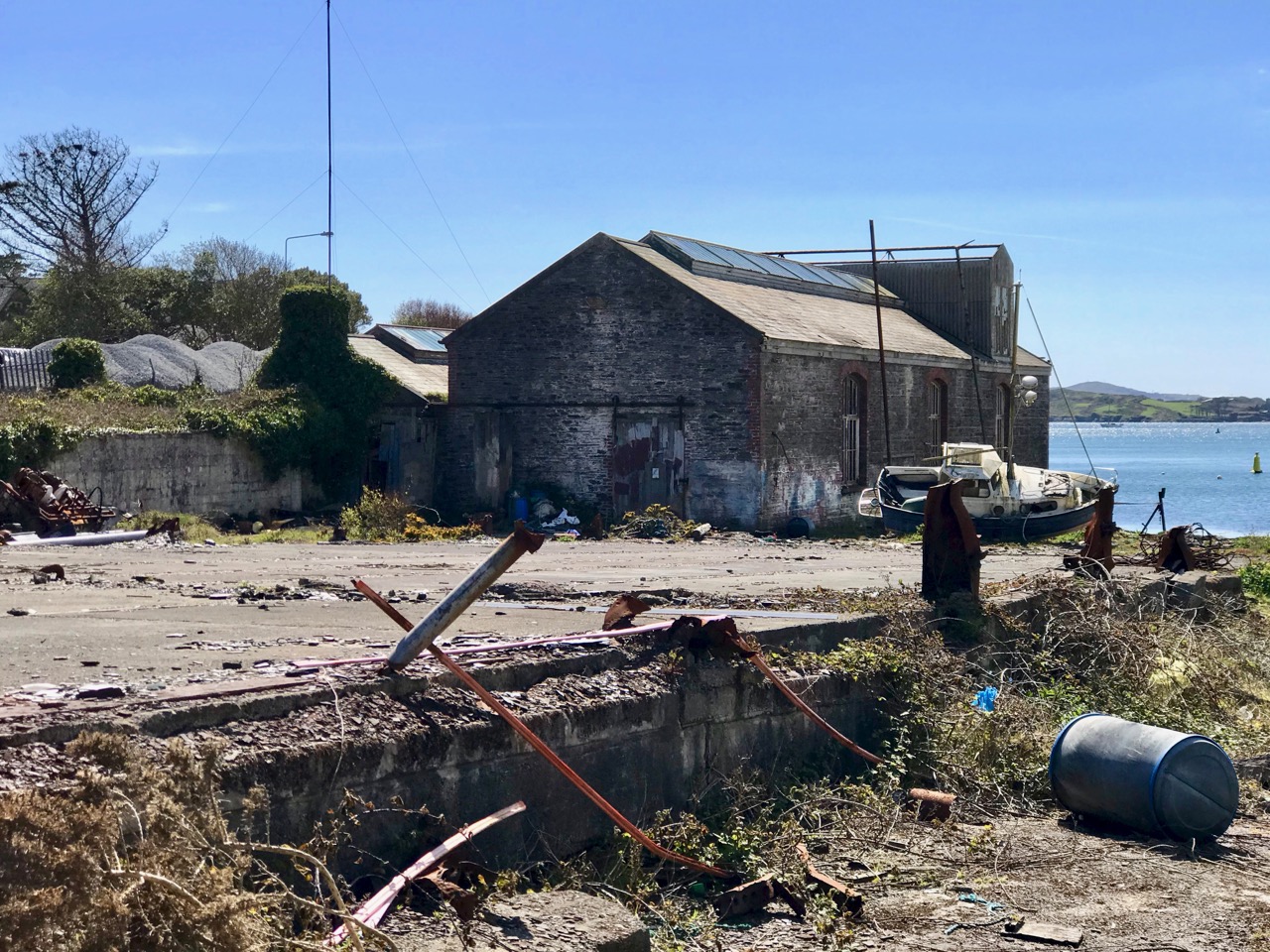
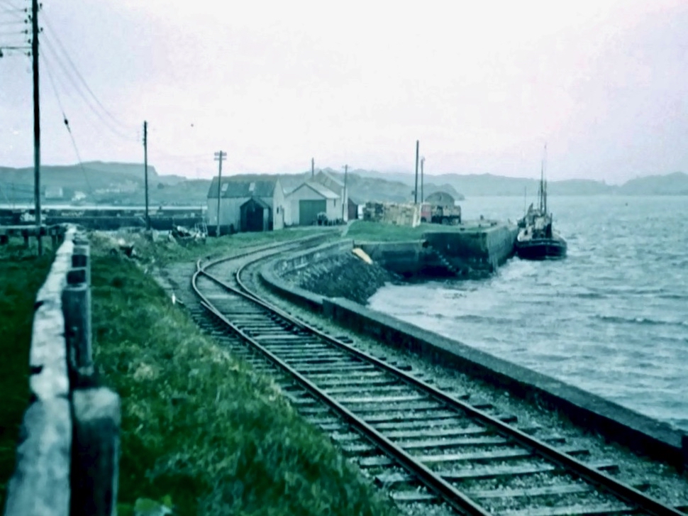
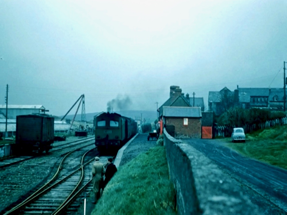
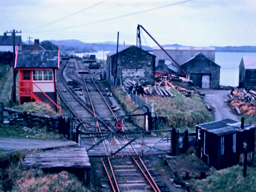
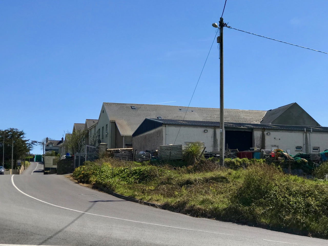
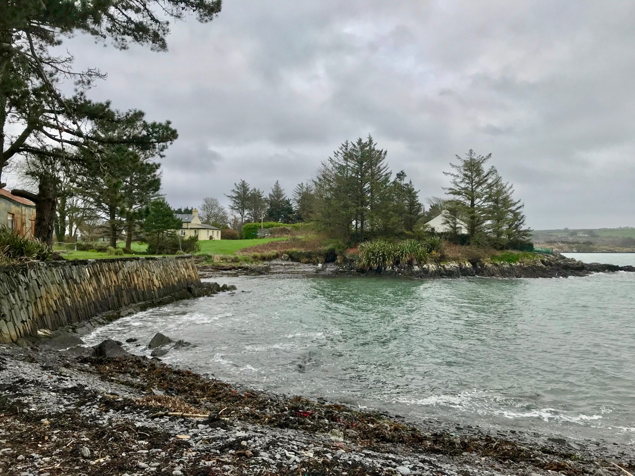
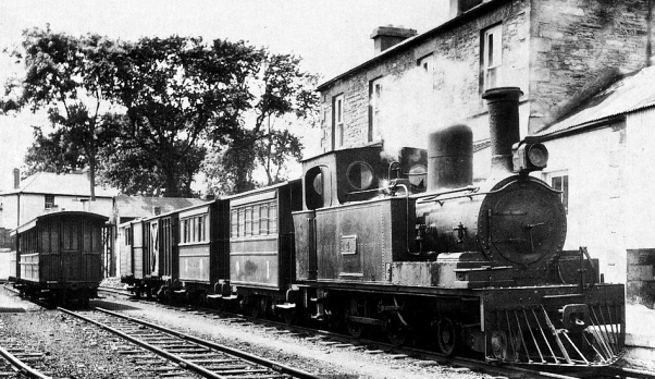
Ballydehob’s 12-arch bridge – or railway viaduct – must be one of the most profusely illustrated and photographed features of West Cork. The Schull, Ballydehob and Skibbereen tramway was a significant piece of transport infrastructure that ran from 1886 until 1947. It’s a fascinating piece of Victorian engineering, the first 3ft gauge railway line to be built in Ireland. Everything about it was eccentric: here’s one of my RWJ posts setting out the history of the line. Brian has a little anecdote well worth the recounting:

. . . As it is one of the most pleasing architectural features of the local landscape, I drew the Twelve Arch Bridge on many occasions and it reappears in a variety of forms amongst these etchings. One village magnate commissioned me to do a large picture of this monument for his new house. The price was agreed and the picture eventually produced. I had chosen an angle which showed the bridge emerging as it does from thickets of brambles and conifers on either side of the water. Delicate fronds of foliage wound in the foreground of the picture and the subject itself basked in the distance, looking solid and ancient. I was quite pleased with the results. When I presented it to my patron he gazed at it in silence for a long time. Then with a large and calloused hand he ran his index finger across the view a number of times, shaking his head slowly as he did so. ‘No. no good at all, It won’t do,’ he muttered more to himself than me. He had been counting the arches. In my enthusiasm for the atmosphere of the piece the accurately rendered number of the arches had become obscured, those on the extreme edges becoming partially lost in the undergrowth. The commission was rejected. If you are paying for twelve arches you don’t want to be short-changed with ten and two halves!

Coastline: West of West, Brian Lalor

Fastnet. An iconic silhouette – perhaps a fish-eye view? The lighthouse is a ubiquitous element of structure which can be seen from all the waters and islands of Roaring Water Bay. Brian’s words:

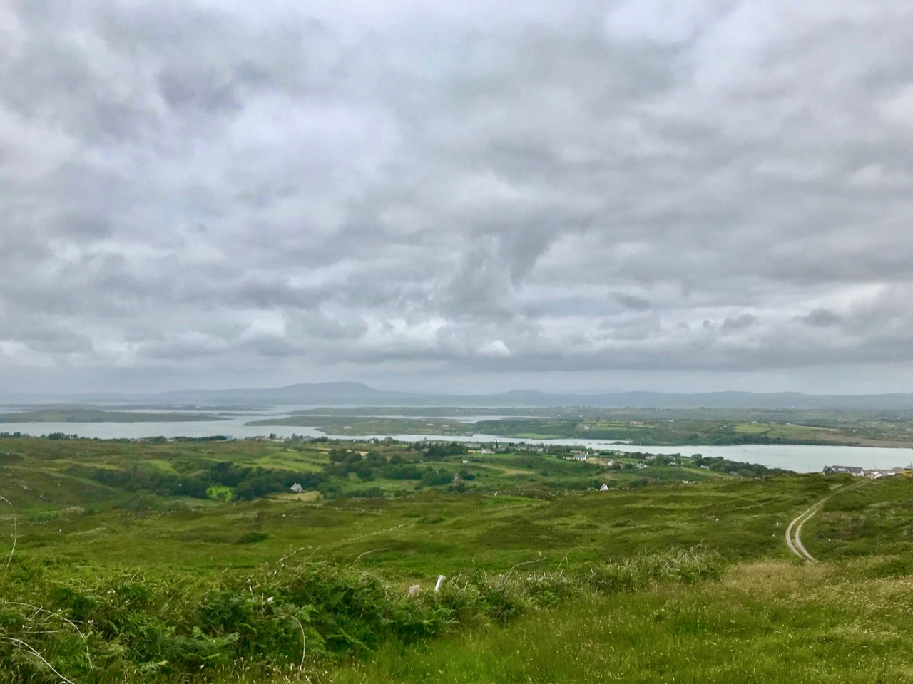
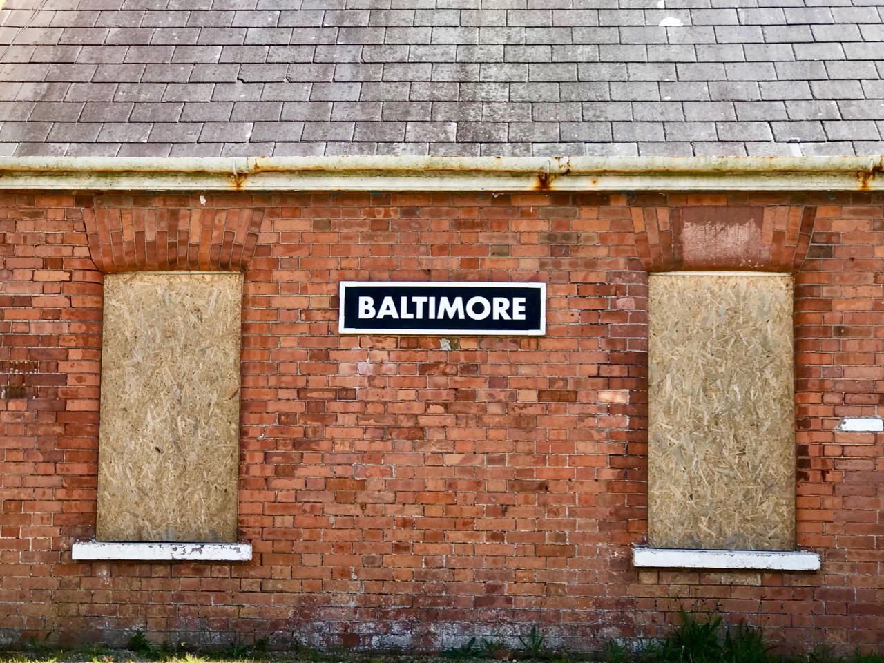
. . . Roaring Water Bay encompasses an area of about a hundred square miles of water between Baltimore in the east and Crookhaven in the west. The tortuous coastline of the bay, as of much of the rest of West Cork, is punctuated by small coves, each with an old stone pier or miniature harbour. Up to the mid-nineteenth century these were the arteries of communication and trade and a wide array of lighters, barges, rowboats and yawls plied the coast, ferrying freight around the rim of the land rather than through it. Never far from the safety of land, they darted from port to port with the assurance of safe harbours at frequent intervals to reduce the threat from treacherous seas. Today, however, only the yachtsman holds this perspective on the land; it is a medieval cartographer’s view of the world: good on outlines, vague concerning the interior . . .

Coastline: West of West, Brian Lalor

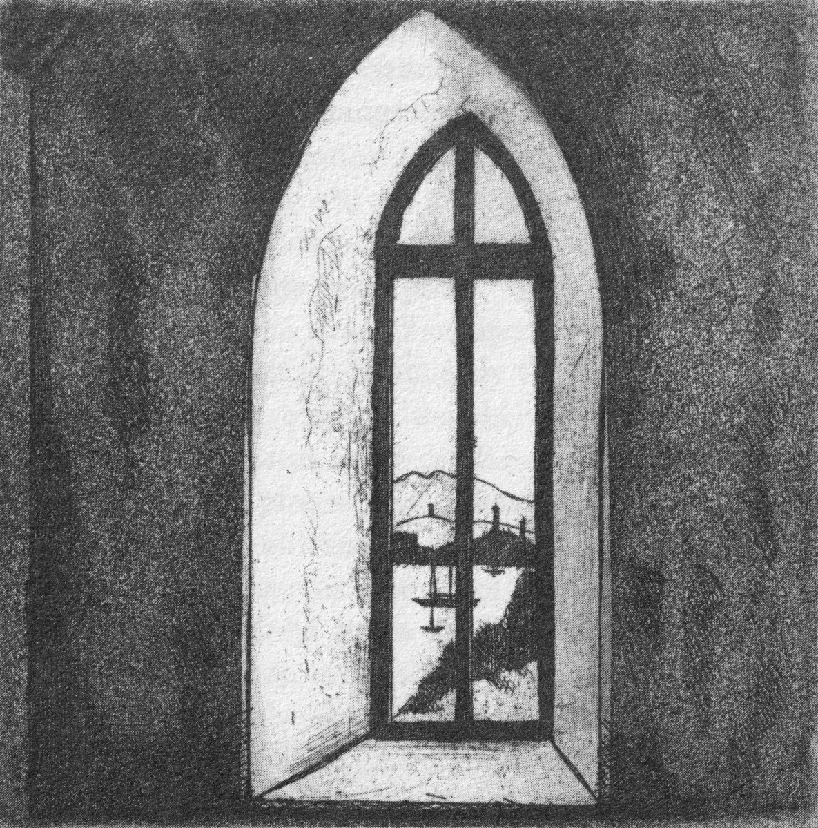
The eye of the artist searches out ways to tell a story or unfold a scene in graphic simplicity. This is St Brendan Crookhaven: a simple church that is dear to the hearts of mariners, and has long been so.

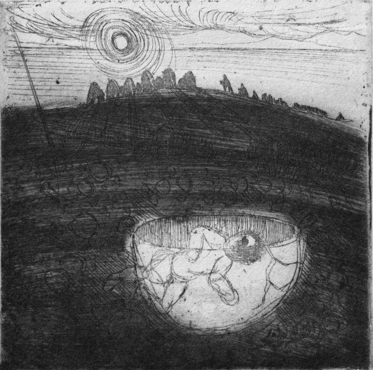
Stone Circle and Child Sacrifice is a thought-provoking piece. These ancient sites date back thousands of years: there are many here, beyond the West. We wonder at them, and can only guess at the significance they had to their constructors.

. . . The Landscape of the mind, which co-exists, interlocks and overlaps with the geographer’s vision, is an intangible, ephemeral thing. You may encounter it unexpectedly on a moonlit night or on some deserted headland, or perhaps in the dim light of a public bar. In this part of the world, soaked in memories and half-memories of the past, much is implied rather than stated. Like the collective unconscious, the landscape, too, is composed of a multitude of intertwining details. This collection of etchings of West Cork is concerned with those details: with small corners of towns and villages, with oddly-shaped fields and erratic skylines. Each etching is a vignette of landscape, architecture or environment. The pictures are organized around a number of themes yet the material as a whole has such an overall unity that what illustrates one section also has relevance for another. The point which they make is a collective one . . .

WELL MET BY MOONLIGHT: WEST OF WEST, BRIAN LALOR

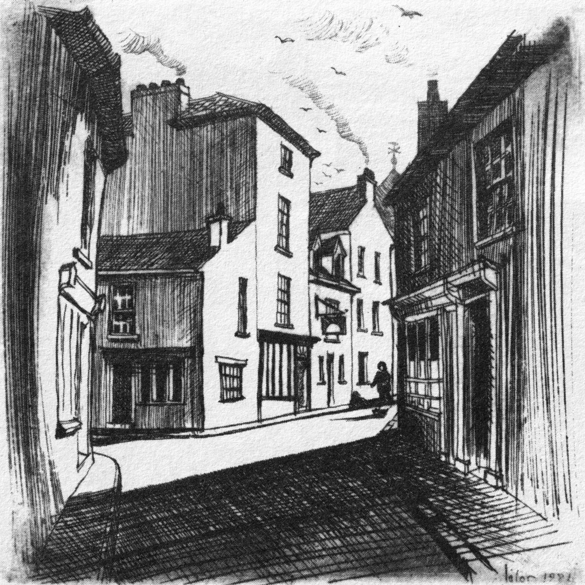
Brian’s book is as much about the human side of West Cork as it is about the natural or supernatural. He illustrates towns – Kinsale, above – and the landscape. For me, this is a very significant little volume: the travels described within it echo my own journeying through this most special of places. Thank you, Brian, for so vividly enhancing my appreciation of West Cork.
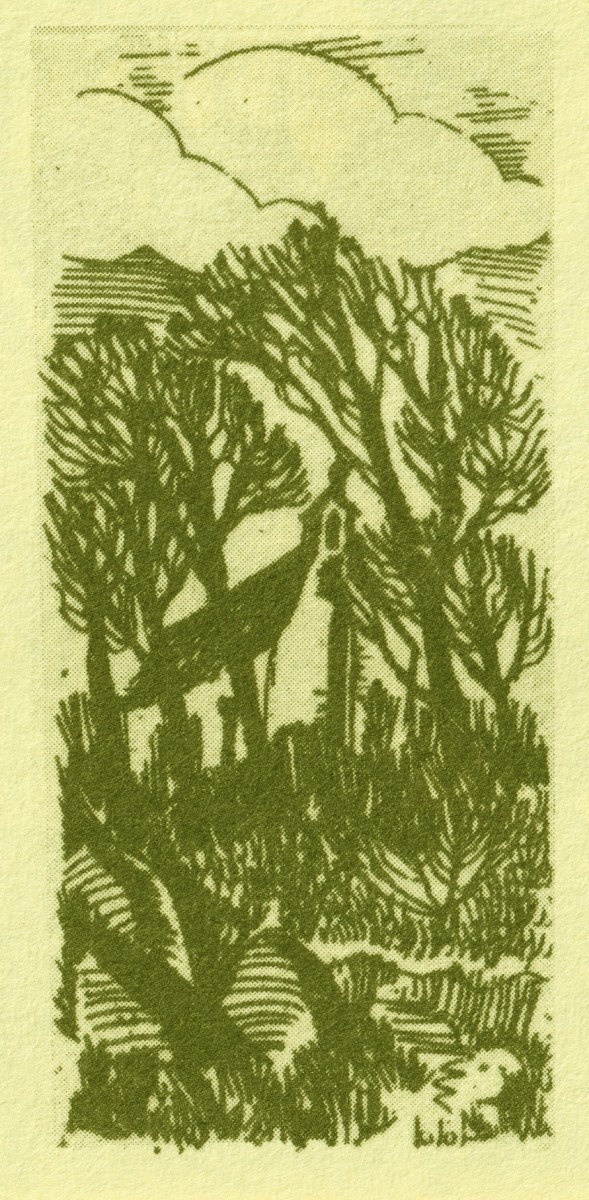
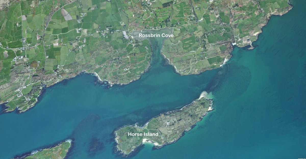
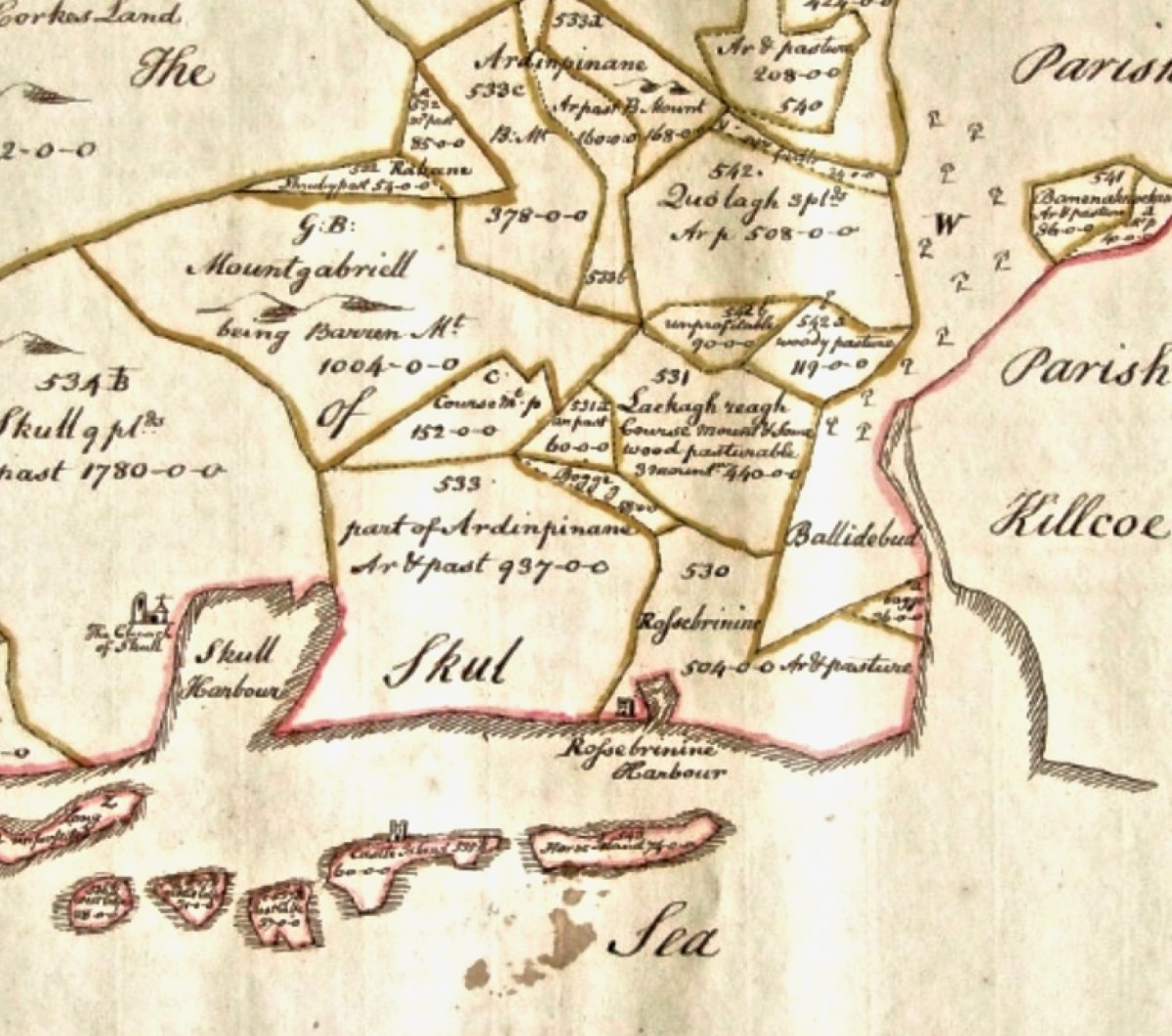
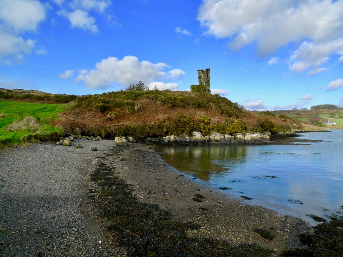
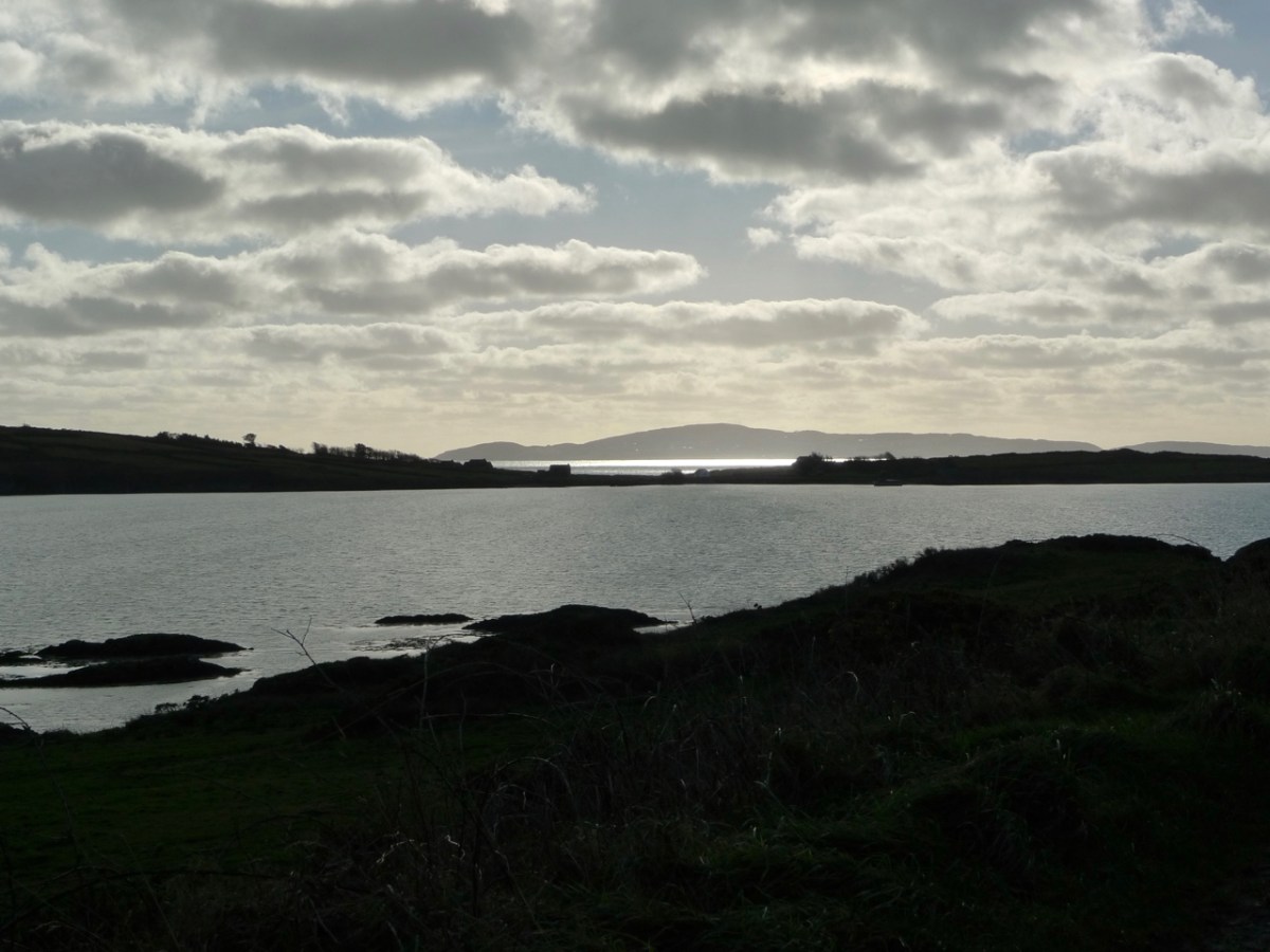
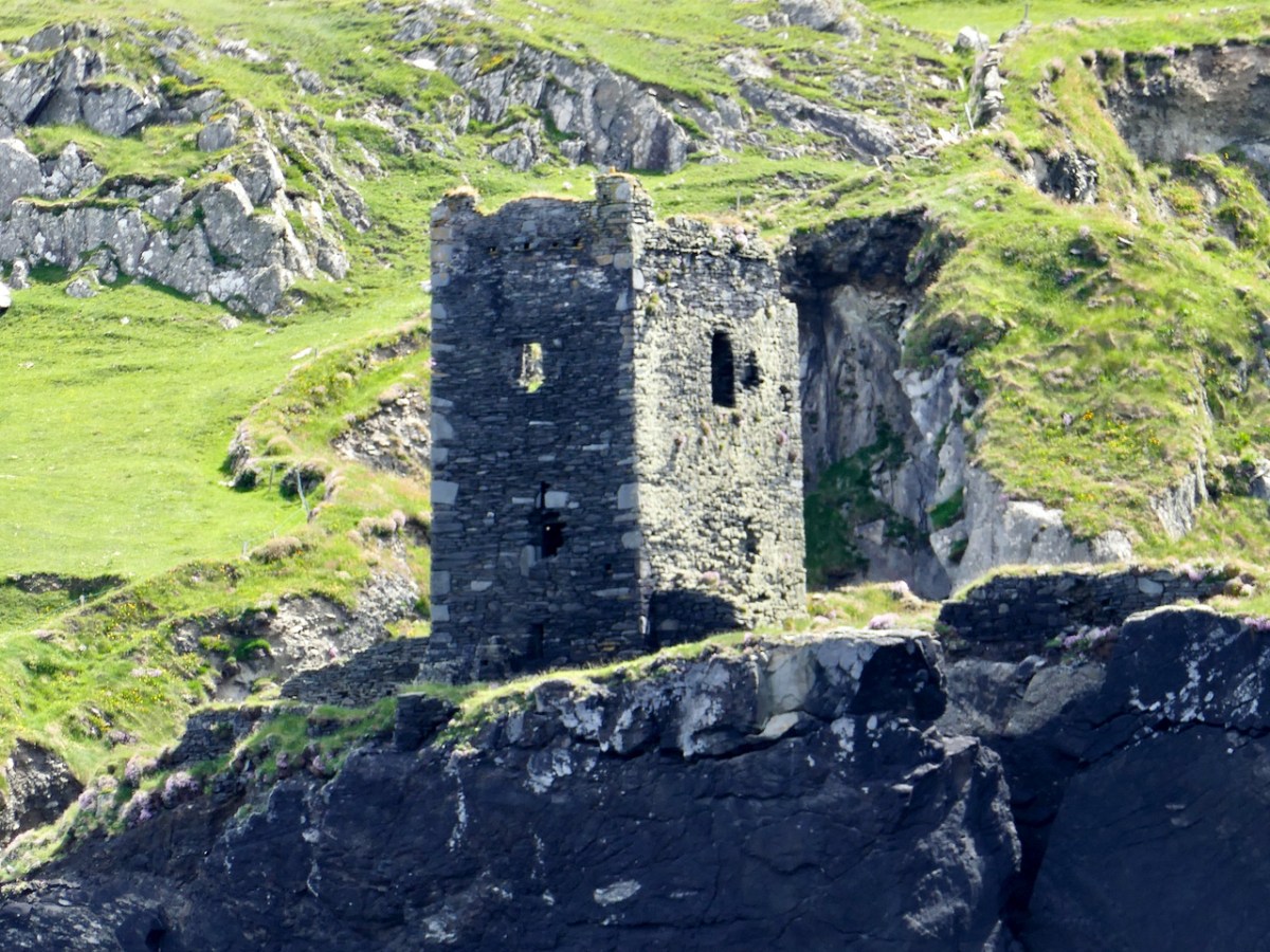
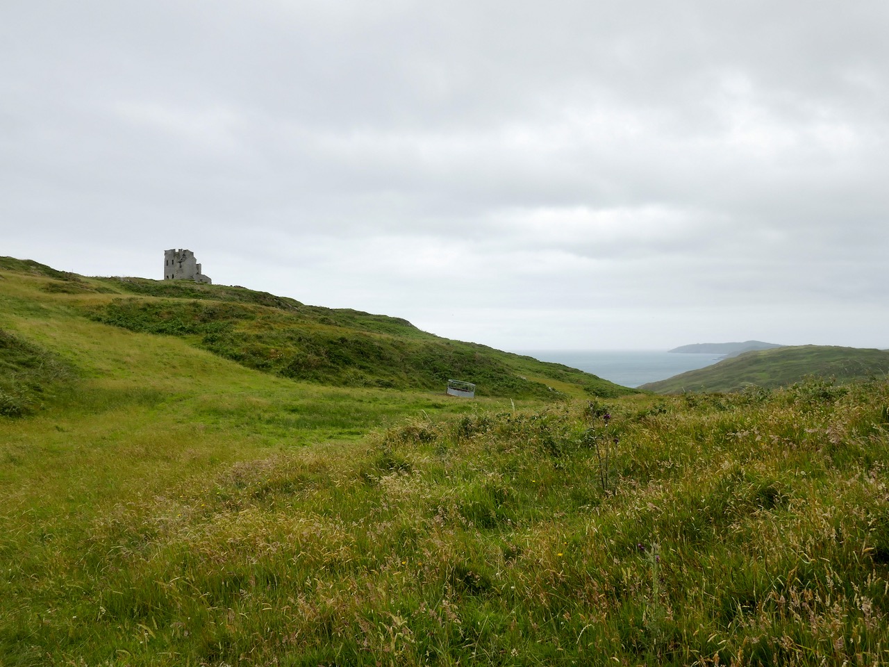
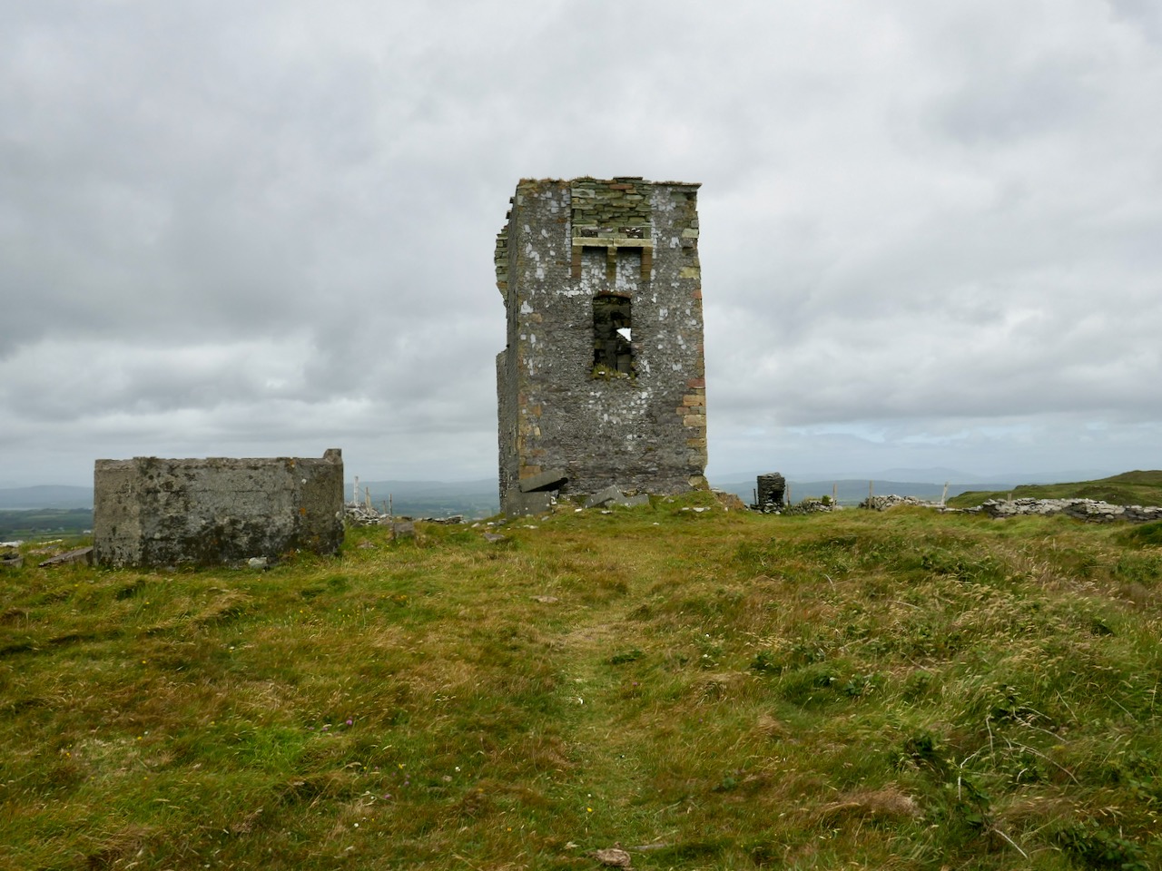
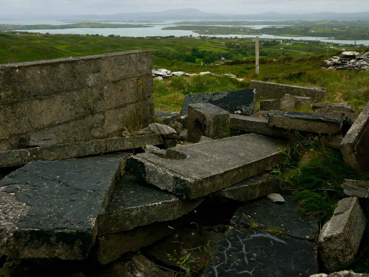
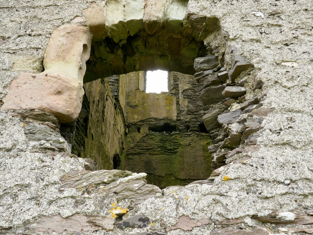
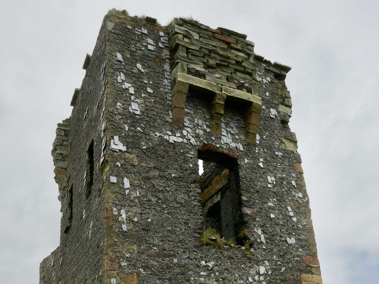
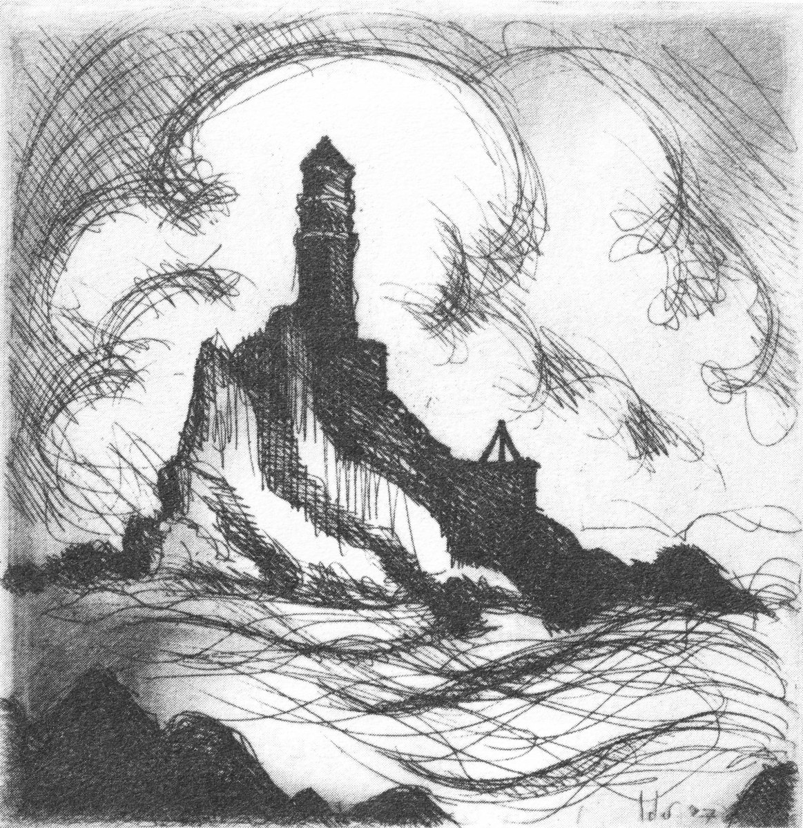
Kilcoe

The Down Survey – Closer to Home

Last week we gave a brief introduction to the wealth of historical material that we can find in the website devoted to the 17th century Down Surveyhere’s a link to that site, and another (here) to our previous article. The subject – and some of the deeper detail we can discover in the website – is well worth a further look.

The Down Survey (the above view of some of the islands out in Roaringwater Bay is extracted from it) was carried out between 1656 and 1658, and thus gives us an excellent picture of how terrain we are so personally familiar with was perceived pictorially in the mid 17th century. We don’t know who the surveyors were, except that they were under the command of Sir William Petty, ‘surgeon- general of the English army’. Ireland became one of the most-mapped countries in the world at that time, following the Cromwellian and Williamite land redistributions. The beneficiaries were the new landlords of the Ascendancy, who wanted to know exactly what they had acquired, and the initial emphasis was on boundaries and basic land-measurement.

We wanted to know what our little bit of West Cork looked like on those earliest maps. Our view is down toward Rossbrin Cove, below where we live, and our house is a mere blip on the contemporary aerial view at the top of the page. In the first example from the Down Survey mapping – under that view – the cove of ‘Rofsbrinine Harbour’ is marked, and the castle, whose remains still guard the harbour entrance to this day (above), is clearly shown.

This view looks across the channel from the site of Rossbrin Castle. Immediately in the foreground is Horse Island, while beyond is the distinctive profile of Cape Clear. Let’s look at the Down Survey entry for Cape Clear – with. for comparison – a modern map of that island below it.

That map, above, is taken from a nautical chart. It’s understandable that a 17th century map wouldn’t have the level of accuracy we would expect from a modern survey, but take a look, now, at this contemporary aerial view of Cape Clear Island:

It’s remarkable, I think, how strikingly the early map resembles the profile – if not the fine detail – of the modern chart – and also the shape of the island as shown on the aerial view. For example, the ‘Bill of Cape Clear’ shows up very clearly on the chart – the beak-like protrusion on the far western end of the land-mass – a feature which is represented as very similar on the 17th century version, and of course on the modern prospect. Here’s a view of Dún an Óir – Cape Clear’s castle – today:

Just to add to the experience, the above satellite view gives a more ‘flattened’ impression of what is really going on locally: compare this to the expanded view of our coastline from the Down Survey – note that ‘Cape Cleare’ is included on this extract:

As a further example, to finish off this brief overview (which will be continued in future posts) let’s have a look at the Down Survey entry for the Baltimore area – a little further along our coast, travelling east:

This is in fact the Down Survey entry for the Parishes of ‘Tullogh & Baltimore’. The first thing to note is that the north point is facing downwards! If you look at many of the survey pages the orientation varies considerably, and is probably more to do with what conveniently fits on a sheet than any attempt to be consistent. So that we can make an easier comparison with today’s terrain, I have also switched the orientation of this aerial view:

In my opinion it’s remarkable that the Down Survey maps do bear a very reasonable resemblance to the reality. Obviously, a great deal of detail is missing, but the purpose of the maps – to delineate land ownership – is satisfactorily served (albeit that this is to the benefit of the incoming English lords and landowners).

Here’s a view of the site of the medieval fish palace at Baltimore. The Down Survey comprises more than maps: there is other related material, including terriers. These particular terriers don’t have legs or tails – it’s a term for a written, descriptive survey of an estate: some english examples are recorded from the ninth century. Here’s the terrier for Baltimore within the Down Survey:

The terrier in this case is mainly a description of parcels of land, their owners, and the values. Here’s a closer example, from a terrier for ‘Skull’:

There’s a lot more of West Cork within the Down Survey archives. A future post will turn in greater detail to some of this material.

A Signal Success in Irish Engineering – Part 1: Kedge Point

At first sight this gaunt ruin on the West Cork coastline could be taken for a medieval fortified house or castle, but we can date its construction very precisely – to 1805, and we also know its purpose: long-distance communication. It was only put to use for a few years, and has been derelict at least twenty times as long as it was ever in service. It’s a signal station, one of over eighty similar structures around the whole coastline of Ireland, an initiative which represented a major engineering feat of its time.

This watercolour sketch by surveyor Sir William Smith is invaluable: it dates from 1808 and shows a signal station in use in its heyday. This one is at Malin Head on the Donegal coast, Ulster, and shows the elements which would have been common to all of the stations: a signal mast, a defended tower and a ‘guard house and barrack’ – probably also an equipment store. The signal tower bears a striking resemblance to the Irish ‘tower house’ or castle dating from several hundred years earlier, with its bartizans, machicolation, base wall batter and raised entrance, All these features were practical as the towers were military installations built in the times of the Napoleonic Wars. The cartoon (below) dates from 1805 and encapsulates the fear of invasion that swept over Britain in the early 19th century. Balloons, kites, flotillas of troopships and a channel tunnel were all envisaged as ways in which the French might conquer these islands! Humorous though this may seem, France had already used military balloons in the 1790s, and Bonaparte appointed Madam Blanchard as his ‘air service chief’, though she told him an aerial invasion would probably fail because of adverse winds.

Since Theobald Wolfe Tone and the Society of United Irishmen attempted to rally France behind the Irish cause in the 1790s, Ireland was seen as a possible focus for the feared invasion, and led to the British Admiralty constructing the system of signal stations as observation posts, together with 50 Martello towers, each maintaining a garrison of troops, officers and heavy artillery. The principal purpose of the signal towers was to keep watch on the coasts and to rapidly send signals around the country if unrecognised shipping was seen. Each tower, therefore, had to be within sight of one or more of its neighbours in both directions. The average distance between towers was 13.5km, although here in West Cork the towers at Brow Head and Mizen Head are only 3.8km apart. Ireland’s coastline is about 1,400km long, depending how you measure it.

Various combinations of flags and canvas ‘balls’ could be quickly assembled on the signal masts and, with the use of a code book (above) fairly complex messages might be circulated. Another vital piece of equipment, of course, was a high quality telescope. As the Navy had such essential apparatus – and the experienced personnel to use it – the Irish signal towers were largely manned by active or retired sailors.

We set out to explore some of the signal stations close to us in West Cork. Once we feel free to travel further afield through Ireland I can see the signal towers becoming a long-term project! If those we have visited so far are good examples, they take us to some of the wildest high places with panoramic coastal views: many are utterly remote. And they are all imbued with a sense of history – of duties that demanded long hours of lonely vigilance in harsh conditions. Most are long abandoned and forlorn. But the marks of those who have been there remain inscribed on the decaying walls.

The header illustration and all the photographs above were taken on our recent visit to the signal station at Spain, to the east of Baltimore. There is rugged moorland there and dramatic cliffs overlooking Kedge Island. The site is known as Ballylinchy or Kedge Point. It’s a fair climb off-road but not difficult to reach. It’s always essential to seek permission locally before crossing farmland.

There are uninterrupted views from Ballylinchy towards Kedge Island (upper photo) and across the islands towards the Mizen (lower). Visibility was restricted on the day we visited – and this made us realise how important the weather would be for accurate observations. However, we could clearly see the signal tower on Cape Clear from this vantage point, shown below, with the Fastnet Rock and lighthouse beyond. You can understand from this view – with the camera zoomed in – how powerful the telescopes needed to be to clearly read the flag signals. Finola’s post here includes a section on the Cape Clear installations.

The Google Earth images above and below reveal the setting of this signal station on the highest point of land for miles around. History abounds on this site, with the remains of a World War 2 observation post in close proximity to the 1805 structure, and one of the many EIRE signs set into the cliff, also dating from World War 2 and set up around the coast, reportedly at the behest of the American authorities to help orientate pilots and alert them to Ireland’s neutrality.

The south facing elevation of the Kedge Point signal tower clearly shows its defensive machicolation. On the left is the stump of the LOP (World War 2 lookout post). Below – the rubble of the destroyed LOP and some of the recognisable architectural features of this tower.

Next week I will report on a very different location, which we visited on a much better day – lots of sunlight, blue skies and West Cork magic to look forward to! This time our site will be at the westernmost tip of the Sheep’s Head Peninsula, and you will get a different sense of the relative orientation and intervisibility of these intriguing historic monuments.

Below – the signal tower at Toe Head, about ten kilometres to the east, seen from Kedge Point

Aspects of Baltimore

“…The fish are knocking at our doors but we haven’t a bucket to take them from the water…” – This was Father Charles Davis, Parish Priest of Rath and The Islands, appealing to Queen Victoria shortly after his appointment to the area in the 1860s. He and three Cape Clear fishermen had been granted an audience to explain the near famine conditions that still prevailed in West Cork, and the priest’s proposal to build a fisheries school and establish a new fleet of boats in the town of Baltimore.

Header and above: the huge goods shed and boatbuilding slip that were established in Baltimore following Father Davis’s successful appeal to the Queen

Help came when the Queen directed the appellants to Baroness Burdett-Coutts – the richest woman in Britain: we met her in Flying Foam, my quest to find out as much as I could about the remains of an old fishing boat that lie submerged by the tide in Rossbrin Cove. That quest is ongoing – and has grown in complexity – but today’s little journey takes us to Baltimore, not too far from Rossbrin, especially as the foam flies. We have been to that lively little town many times (not least to enjoy the annual Fiddle Fair – this year’s is coming up at the weekend!), but never before have we taken a close look at the stories surrounding the fishing industry – and the extensive evidence of it which still exists.

I have always been fascinated by Industrial Archaeology, and I’ll search out any remnants of old workings, canals, railways and engineering structures that can be traced in the field, wherever I happen to wander. Baltimore offers a wealth of finds, and most of them can be traced back to Father Davis’s positive influence on the fortunes of the town in the late nineteenth century.

The big slip – where Baltimore’s own fishing fleet was launched and prospered, with the town’s working harbour in the distance: from there boats ply every day to Sherkin and Cape Clear

Prior to the work of Father Charles, Baltimore was a resting place and servicing centre for the large Manx fleet and boats from England and Scotland, all reaping the harvest of the sea on the fringes of the Atlantic. As the century progressed, the priest saw his vision realised: between 1880 and 1926 Baltimore was the largest fishing port in the country and 78 fishing vessels were registered locally. The local economy was also boosted by boatbuilding and net making, as well as providing a hub for the transporting of goods to and from all the inhabited islands of Roaringwater Bay.

Harsh, unpaid work – net making by the boys at the Baltimore Fishery School – later the National School

Father Davis pursued a previously conceived project of establishing a fishing school in Baltimore. A grant of £1,000 was made to this by the  Grand Jury of County Cork, and the Treasury, at the instance of Arthur Balfour, Chief Secretary for Ireland (and later Prime Minister of Britain) granted £5,500 towards the completion and fitting-up of the school. In 1886 the Fishery School was formally opened by Baroness Burdett-Coutts.

From an encyclopedia illustration: the Burdett-Coutts portrayed with the new Baltimore Fishery School in the 1880s. The picture below is of the medieval castle at Oldcourt, further up the Ilen River

Fr Davis was not yet at the end of his labours in connection with the fishing in Baltimore. He was aware that one of the great disadvantages under which the fishermen of the region laboured was the difficulty of transporting the fish to the English markets. This was ordinarily accomplished by steamers from Baltimore to Milford Haven, Wales. However, there were times when these steamers were not available, and it was necessary to send the fish via Dublin and Holyhead. In these cases the fish had to be carted from Baltimore to Skibbereen, with the result that the fish greatly deteriorated in transit. To remedy this problem, Fr Davis set about getting a railway link between Skibbereen and Baltimore. This project, when first started, seemed to have little promise of success, but Fr Davis was not discouraged. He enlisted on his side the sympathies of a great number of Nationalist members of Parliament and of many who were not of Nationalist politics. He also enlisted the powerful aid of Baroness Burdett-Coutts. In the end his efforts were crowned with success when a bill for the Baltimore railway was passed by Parliament. However, he never lived to see the railway line open on the 2nd May 1893.

(Notes from the Diocese of Cork and Ross)

Baltimore Station – the most southerly railway terminus in Ireland – is still intact today, although now deserted and derelict following a previous incarnation as a sailing school. Good Friday, March 31st, 1961, is a date which will be remembered by many in West Cork as the loss of a lifeline to the outside world. Despite ‘the greatest civil protest since the foundation of the State’, the West Cork railways closed down.

The three photographs above are borrowed from the blog Beneath the Summer Growth – an excellent site which has covered many aspects of Irish industrial archaeology. I could not find a direct acknowledgement for these pictures, which are the best I have found on the Baltimore line. Upper – the railway line at its furthest point, on Baltimore Pier (1961); centre – Baltimore Station when it was still working (1961) – on the left is the large goods shed; bottom – Baltimore Station in 1962, when the trackbed was being taken up

In spite of the loss of its railway, and the decimation of its fishing fleet, Baltimore thrives today as a working town – with its ferry terminals serving the Islands – and a popular West Cork tourist destination.

Baltimore Station and its accoutrements still very much in existence today, although now disused and with no plans for the future

At one stage there were seven trains every day out of Baltimore, all carrying fish for the American market. But the good times didn’t last and in the early 1950s the National School (formerly the Fishery School) closed. You may not want to know the full story of this institution: it has been told – starkly – by Alfred O’Mahony – who was a resident there between 1941 and 1947. The story entails abuses of many kinds: beatings, hunger, harsh conditions – the building was unheated and the boys had to endure the winter of 1947, the coldest on record in Ireland. I will quote a single example – the state of the sanitary facilities:

The outdoor lavatories were wedged between the play hall and the laundry. The ten cubicles there had splintered and rotted half-doors hanging from large rusted hinges. The large roundels in the cubicles had once supported the original giant chamber pots which, on becoming rusted and holed, were sometime in the forgotten past discarded and never replaced. Despite our ignorance about these matters, our outside lavatories were called “The Pots”. At a call of nature we mounted the wooden pot supports to bare our bottoms and let go through the roundels, but when the icy blasts of winter blowing through the roundels caused goose pimples and chattering teeth we used the floor until the underfoot conditions forced us to use the open-air compound behind the cubicles. There was no water supply there from any pipe or stream, and no wipes of any kind were available to us; only the falling rains washed the place. When we left the play hall for a call of nature on a rainy wintry night we had to negotiate through the slurry in the unlit lavatory compound; when we returned with soiled clogs we exuded a mighty stench. Once every fortnight Jer the farm labourer shovelled the human waste into a cart, and as the load was pulled by Ned, the institution’s donkey, through the precincts, the pong forced us all to turn away in disgust. Father McCarthy deemed in 1945 that the appearance of our outside lavatories was an eyesore to visitors and ordered the building of a six-foot-high concrete wall, and in doing so he concealed the perfect conditions for a cholera epidemic that could have wiped us off the face of the earth.

(Alfred O’Mahony, The Way We Were Inspire Books, Skibbereen 2011)

It’s probably a good thing that no part of the former Fishery School and National School remains today: the site has been completely redeveloped (above). There is a memorial, a simple carved granite stone which leaves a whole lot unsaid. What makes me shiver is the fact that this maltreatment happened not in the Victorian era of child labour – grotesque and inhumane conditions such as those which Charles Dickens vehemently campaigned to highlight and eradicate in the middle of the nineteenth century – but in my own lifetime.

‘Flying Foam’

A recent post – Fish Palaces and How They Worked – discussed the history of the fishing industry in the south west of Ireland, and focussed on our own Roaringwater Bay. There’s an ‘extra’ story following on from that – well worth the telling, but frustratingly incomplete.

The header picture (courtesy of the National Maritime Museum, Greenwich) shows a ‘dandy-rigged nobby’, a traditional fishing vessel built on the Isle of Man during the second half of the nineteenth century. The photograph above shows such a boat, also from the Isle of Man. ‘Nobbies’ like these came to form the basis of a fishing fleet centred on Cape Clear and Baltimore, provided by the benefice of ‘the wealthiest lady in Victorian Britain’ – Baroness Angela Burdett-Coutts (1814 – 1906). Here she is, below.

Angela Burdett-Coutts was just twenty-three when in 1837 she gained an inheritance of around three million pounds (roughly one hundred and thirty million pounds in today’s money) from her Grandfather, which she immediately directed to good causes. According to the Dictionary of National Biography

In 1862 Father Davis, the parish priest of Rathmore, co. Cork (now Baltimore), appealed to her for aid on behalf of the people of the south-west of Ireland, especially in the district of Skibbereen, Crookhaven, and the Islands of Cape Clear, Sherkin, Hare, and the Calves, which had never recovered from the sufferings of the famine years 1848 and 1849 . . . Her chief work was to revive and extend the fishing industry of the south-west coast. She advanced large sums of money, on a well-devised scheme of repayment out of profits, to provide the fishermen of Baltimore and the Islands with the best fishing-boats that could be built, and fitted them with modern and suitable gear. In the course of five years the new fishing fleet of Baltimore was valued at 50,000 pounds . Much of the capital was in due course repaid; and Father Davis used all his influence to keep his parishioners scrupulously to their engagements. In 1884 she paid her first visit to the district and was everywhere welcomed with enthusiasm. With the assistance of Sir Thomas Brady she soon afterwards helped to inaugurate a fishery training school for 400 boys at Baltimore. The school was opened by her on 16 Aug 1887, when she was received with bonfires on the wild hill-sides, and flags flew from every cottage down the coast from Queenstown to Baltimore.

Fish processing on the quay in Cape Clear, nineteenth century

By 1900 fishing in West Cork was in its heyday, with an annual turnover of £100,000. Between 1880 and 1926 Baltimore was the largest fishing port in Ireland and 78 fishing vessels were registered locally. By 1907, after the North Pier had been built, the fleet was so numerous that you could, it was said, walk to Sherkin across the decks of the boats!

Looking across to Sherkin Island from the Cove, Baltimore, today

A further version of the story appeared in Ireland’s Own Magazine, in September 2018, narrated by Eugene Daly:

My father, Mícheál Ó Dálaigh, was born on Cape Clear in 1910, the eldest of four children. When his father Eugene died in 1920, he quickly had to take over the part of breadwinner and at a young age became a fisherman . . . The people of Clear, often known as Capers, had for many generations always been fishermen. On Cape Clear one is aware of the all-embracing sea. In the 1880s, through the work of Father Charles Davis, a £10,000 loan was granted by the English philanthropist, Baroness Angela Burdett-Coutts. With those loans they bought ‘dandies’, 50 to 60 ft long made in the Isle and Man and later in Baltimore Fishery School. By 1920 there were up to forty of these boats fishing out of Trá Chiaráin, the island harbour. Some of the musical names for these boats include Sarah Gale, Guiding Star, Carbery Queen, Jasmine of Downings etc . . .

What is of interest to us is that – according to local tradition – there is the remains of one of the ‘nobbies’ or ‘dandies’ in Rossbrin Cove, just below where we live in Nead an Iolair. You’ll have to look at low tide: you can just make out the scuttled boat in the picture above, on the right in the middle distance. In the view below the wreckage is clear.

It was our near neighbour, Michael John, who told us that this was one of the Burdett-Coutts boats, and that it was named ‘Flying Foam’. He also remembered hearing a poem or recitation about the boat and its fate at some time in the past but – in spite of many enquiries locally – I can as yet glean no further information. Frustratingly, this is where the story is left hanging in the air . . . Perhaps a reader of this journal might have the memory and can enlighten us? We would love to find the poem!

Fish Palaces – and How They Worked

Four years ago I wrote about the fishing industry that once flourished on the shores of Roaringwater Bay (and around much of the west coast of Ireland): according to extant records it was active before 1500, and probably had its heyday in the seventeenth century, when it was heavily invested in by the Great Earl of Cork (Richard Boyle, sometimes described as ‘the richest man in the known world’). In those days, pilchards were the main catch: huge shoals of them came to the comparatively warm, sheltered waters of the islands during the summer months, along with other oily fish such as herring and mackerel. Seine boats were commonly used for this enterprise. Today, pilchards are rare: through a combination of overfishing and changing climate, the bountiful shoals no longer appear.

Header – pilchard curing in St Ives, Cornwall c1890: the pilchards are piled up in layers, forming the huge mound in the centre of the photograph. They are salted and weighted down. Above – curing the fish, Valencia Island, Co Kerry, early 20th century (Reddit / Ireland)

Shooting the Seine:

There were two boats per seine net, the seine and the faller. The seine boat was 27 foot long with a beam close to nine foot. The golden rule on the Northside was to never get into a boat whose beam was less than one third its length. The seine boat had five oars of about 17 foot (bow, Béal-tuile, aft, bloc and tiller oars). The crew of seven had to shoot the seine net; one man shooting the trip rope, another to feed out the bunt rope, four men rowing and the huer (master of the seine and captain of the boat) directing the operation. The faller (or bloc) boat was 24 foot long with a crew of five. Its job was stoning and to carry any fish caught. The largest load a faller could carry would be around 5,000 fish. All boats carried a Crucifix and a bottle of Holy Water.

(from Northside of the Mizen by Patrick McCarthy & Richard Hawkes, 1991)

Twentieth century remains of a seine boat, from Northside of the Mizen

If the fish are gone, remains of the machinery of that industry are still to be seen. In particular, the sites of some of the curing stations – or Fish Palaces – are visible, and are recorded on the National Monuments Archaeological Survey Database. Take a look at the map below: I have drawn green pilchards to show the sites of fish palaces mentioned in the database – eleven in all on this section of the map. Also shown by red pilchards, however, are the sites of another six ‘curing stations’: these are mentioned in a long article by historian Arthur E J Went, Pilchards in the South of Ireland, published in the Journal of the Cork Historical and Archaeological Society in 1949: Volume 51, pages 137 – 157.

Known sites – or historical mention of – fish palaces (curing stations) in the South West of Ireland (information from  National Monuments database and  Arthur E J Went, Pilchards in the South of Ireland 1949)

The active fishing of pilchards on a large scale in Ireland has been discontinued for many years so that, unlike Cornwall, there is little left, apart from published records, to indicate its former importance. There is, however, published information as to the methods of fishing, and a few sites of old curing stations, frequently called pallices, can still be identified.

from Arthur E J Went, Pilchards in the South of Ireland, 1949

Arthur Edward James Went (1910–80), noted fisheries biologist and historian, lived at Sandycove, Co Dublin. In 1936 he was appointed Assistant Inspector of Fisheries in the Department of Agriculture, Dublin, and later was promoted to the position of Scientific Adviser and Chief Inspector of Fisheries

As explorers of all things historic and archaeological – particularly in West Cork – Finola and I couldn’t resist visiting some of the sites of Palaces – or Pallices – documented in these studies. We have always know about the one nearest to Nead an Iolair, in Rossbrin Cove – it’s just down the road: a perfect sheltered harbour, although it does dry out at very low tides. However, there seems to be some debate about exactly where this one is located. It would date from the time of William Hull and the Great Earl of Cork, so how much would be left after 500 years? There is a field on the north shore of the Cove with an old name: The Palleashes which, according to Arthur Went (quoting local tradition), was the site of a curing station for pilchards, operated by the ‘Spaniards’. There seems to be some difference of opinion locally as to which of the many small fields here is the actual site, although it is likely to be close to the large, now modernised quay, as this shows up on the earliest maps.

In the upper picture: the quay at Rossbrin is still used by small fishing boats today. Centre – the field above the present quay may be The Palleashes, and therefore could be the site of the medieval fish palace: there are very overgrown signs of stone walls here. Lower picture – the old 6″ OS map, surveyed around 1840, shows a lane accessing the area above the quay (to the left of the ‘Holy Well’ – that lane is no longer there today) and there are buildings close to the shore which could indicate the palace. In 1840 there was no road running along the north shore of the Cove, but the strand at low tide would have been used as a thoroughfare. Just above the ‘Holy Well’ indicated on the shoreline – and slightly to the right – is a small red dot. This is the area shown by Arthur Went as the possible site of the fish palace (and subsequently marked as such on the Archaeological Database); in my opinion it is more likely to have been directly accessed from the water.

A sure sign of the site of a fish palace is a line of perforations or holes – as can be seen above at Baltimore, where a substantial curing station is recorded (although it may only date from the nineteenth century). Large timbers were inserted horizontally into these holes to form a ‘press beam’ to provide leverage for bucklers to squash out the oil from the salted pilchards, as shown in Arthur Went’s diagram, below:

The ‘Train Oil’ – produced from the compressed pilchards – was a valuable commodity, and was collected to be stored and used for treating leather, and as fuel for lamps. As a by-product of the pilchard industry it was said to be as valuable as the fish themselves.

Palace Strand, in Schull

To continue my researches I went along to Schull, where Arthur Went mentions a ‘Palace House’ on ‘Palace Strand’ – an inlet just to the east of the main harbour. This is right beside the old railway station which was not quite the terminus of the Schull & Skibbereen Railway, as a spur went on from the station to serve the harbour itself. The station buildings and part of the platform are still there – now a private residence. I could not find anything in the area shown on Went’s map at the east end of the strand, but I did find something at the west end.

In the upper picture is a wall on the western boundary of the old station site in Schull. This contains beam holes very similar in size and spacing to those we have seen in fish palaces elsewhere: it’s very tempting to think that this wall – now part of a derelict building – may have had this purpose, as it is well situated close to the shoreline of Palace Strand. If this was a fish palace, it is also likely to date from the nineteenth century, as the early Ordnance Survey maps don’t indicate it. The centre picture shows the old station buildings today, and the lower picture taken at Schull Station in 1939 reminds us of past times: the railway closed in 1947.

This post is a ‘taster’ for a fully illustrated talk I’m giving at Bank House, Ballydehob, on Tuesday 26 February at 8pm: Pilchards & Palaces – 300 years of Fishing in South-West Ireland. It’s part of the Autumn series of Ballydehob’s ‘Talks at the Vaults’

Below – a postcard showing fish curing on Cape Clear in 1906 (from Hely’s, Dublin)