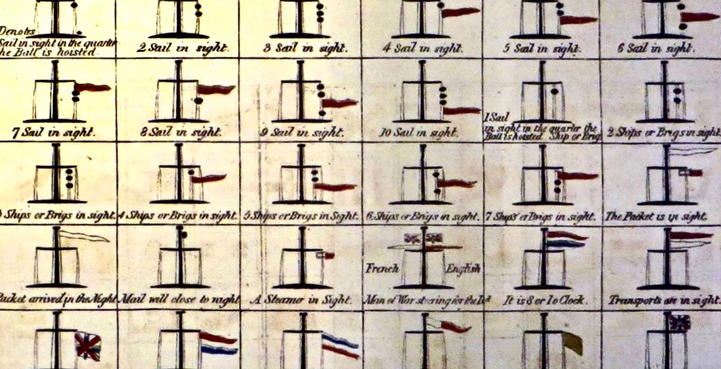
Regular readers will know that I am always on the lookout, in Ireland, for signs of all kinds. They may be humorous, informative or historical – like the one above. This is on the railway station in Bray, County Wicklow. Back in 1987 a competition to design painted murals to enhance the station platforms was won by Jay Roche and John Carter, who produced 19 panels to illustrate the railway through its history.
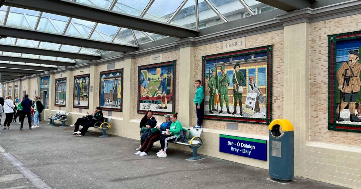
As you can see from this picture of Bray Station taken yesterday, the panels certainly brighten up this much-used civic concourse.
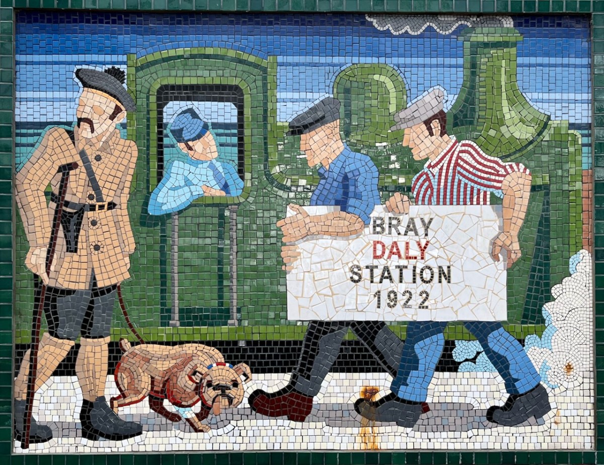
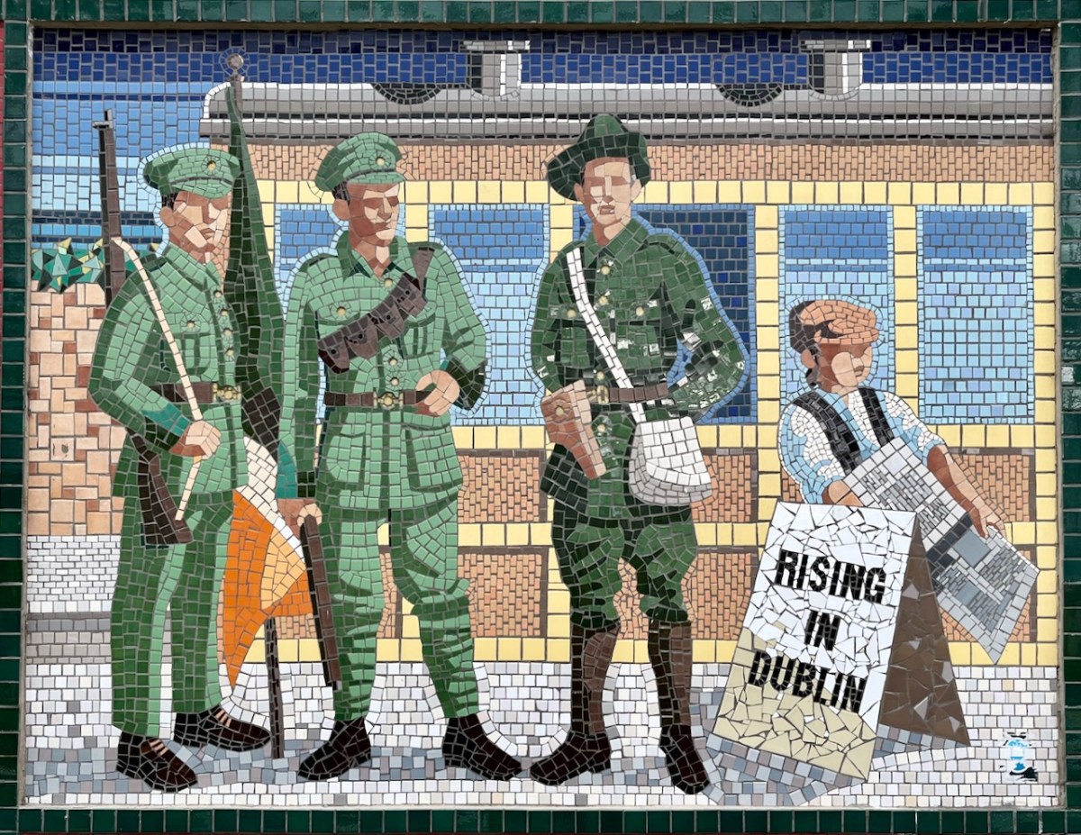
. . . Each panel is like a window into the past that tells a story about the people, dress or time of the mural. One mural signifying the 1920s, makes reference to a man in a Black and Tan uniform. On the website Mural to Mosaic, which chronicles the progress of the project, the artists state they are trying to show that dramatic events were unfolding around that significant time in Irish history . . .
The Daily Edge Newsletter 2012
You’ll have noticed that the panels are now made of mosaic. The painted originals suffered from wear and deterioration and the same artists, assisted by Anthony Kelly and Eileen Maguire, have in recent times transformed all of them into the new medium. I think the result of the earlier concept and its newer manifestation are excellent, and provide a great visual diversion for anyone waiting for a train or a Dart (Dublin Area Rapid Transport). In fact, it’s worth missing a train in order to fully appreciate the artwork!
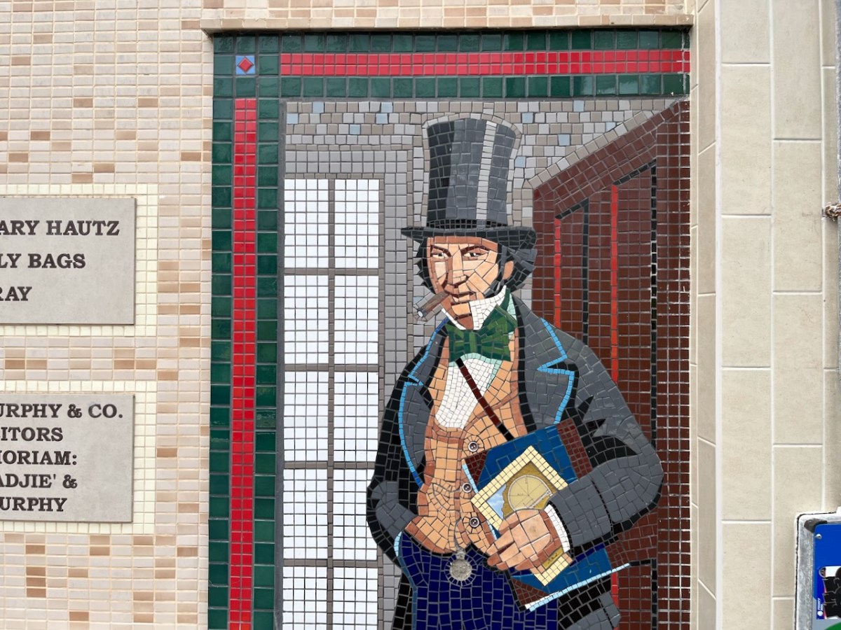
Isambard Kingdon Brunel is the engineer credited with planning the line which, in 1844, was intended to be ‘broad gauge’ all the way to Rosslare. Here he is in a Bray station mosaic, above. I’ll return to this railway in a future post as the full story of it is well worth the telling – even though it’s not West Cork (which, of course had its own interesting railway line).
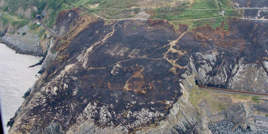
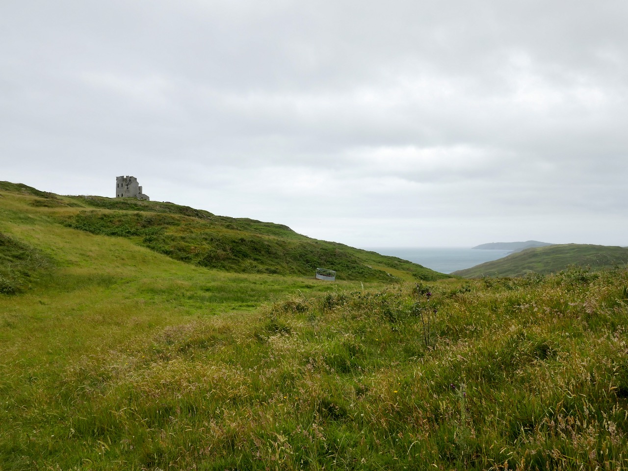
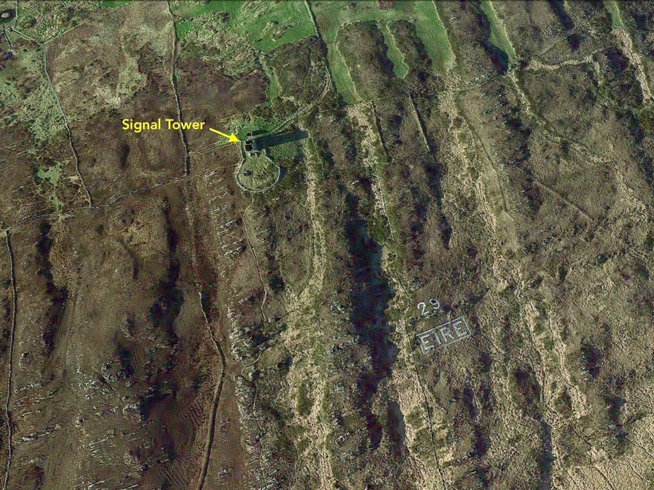
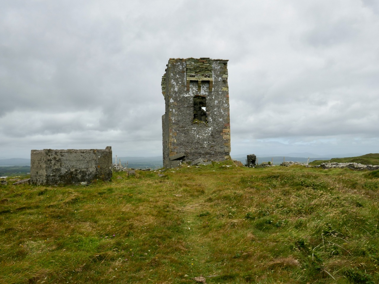
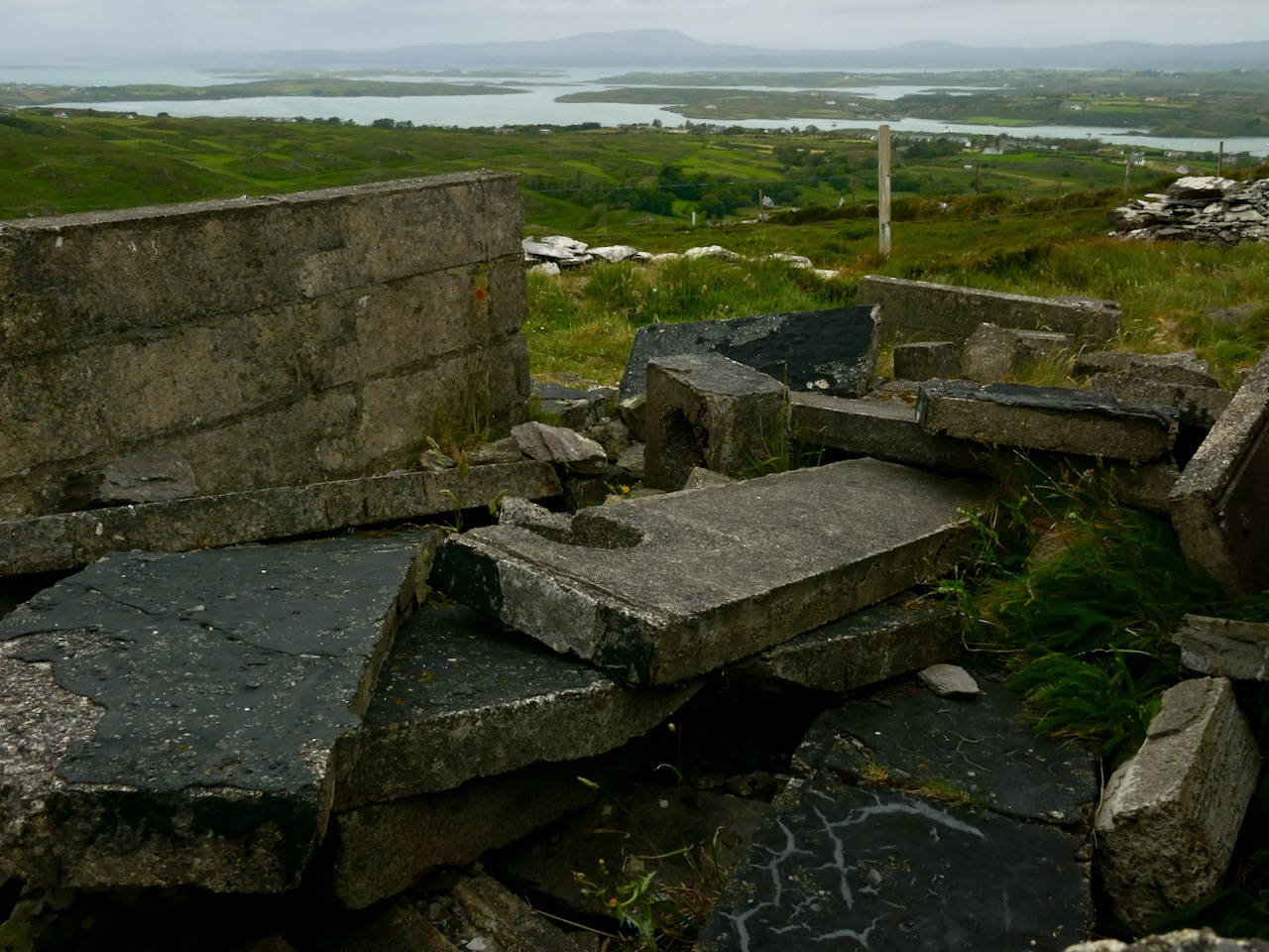
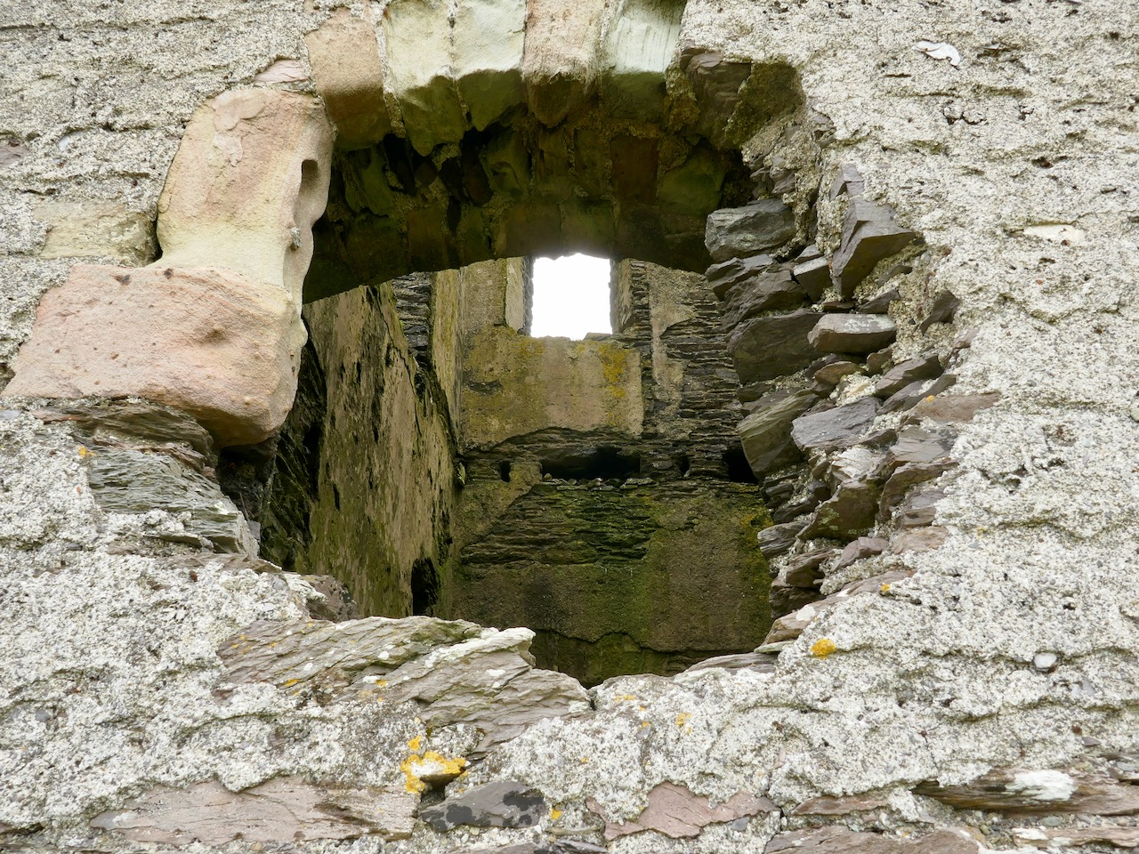
Before leaving behind the railway, here’s a photo of Bray Head (courtesy of Irish Defence Forces) taken after a gorse fire in the summer of 2018. As well as the Bray to Greystones line you can see the outline of the EIRE sign that was put there in ‘the Emergency’: one of over 80 such signs dotted along the coast, it was a warning to aircraft of all persuasions that they were flying over neutral Ireland.
. . . The ‘Éire’ signs were erected around the Irish coastline from the summer of 1943 onwards, a period when overflights of Irish territory and forced landings of belligerent aircraft (mainly Allied) had increased dramatically. In keeping with the De Valera* government’s policy of discreetly co-operating with the Allies, Allied air crews who landed in Ireland were assumed to be ‘non-operational’, and therefore were not detained (a fact that the Germans noted with displeasure). It made more sense to all concerned, however, if such forced landings could be avoided and so the ‘Éire’ signs were erected to ensure that pilots knew that they were flying over Irish territory . . .
Royal Irish Academy Newsletter
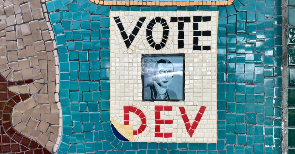
*See our header pic for another reference to Dev!
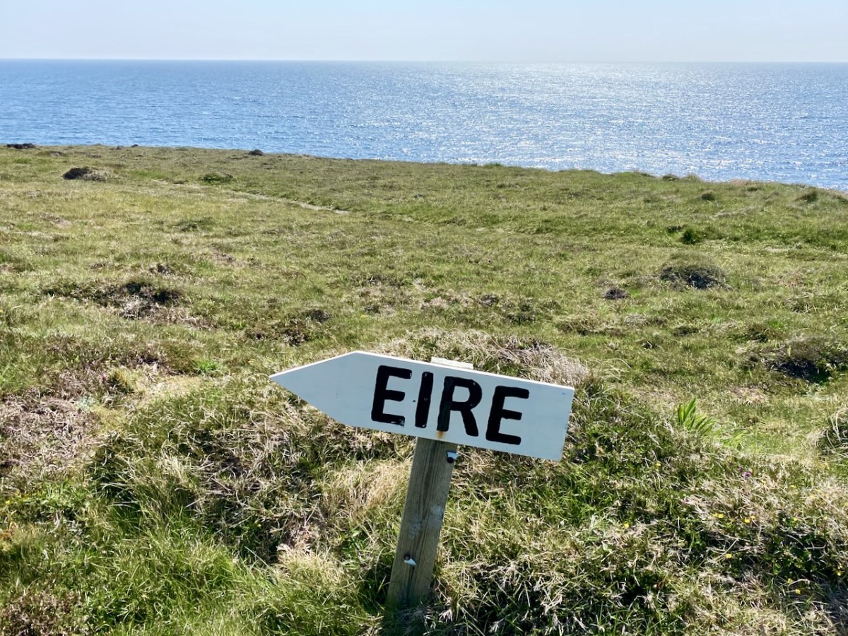
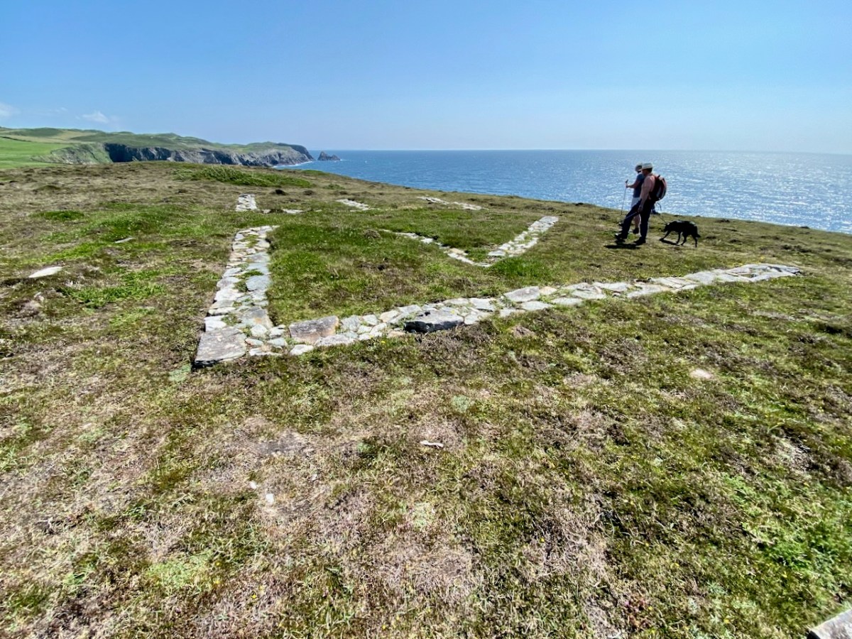
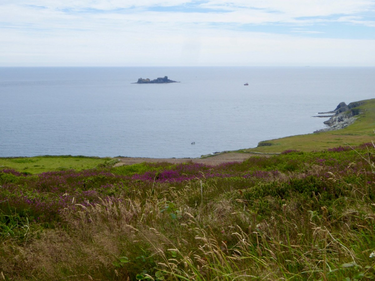
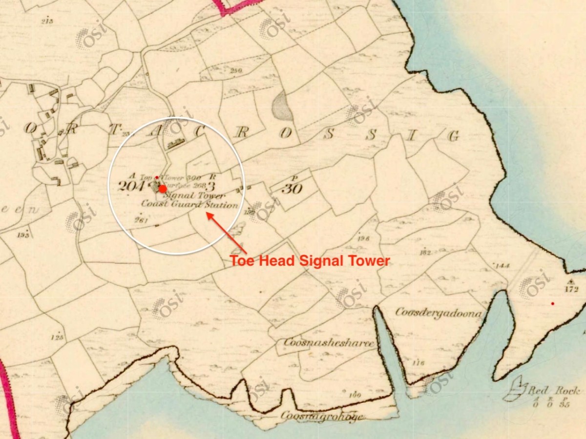
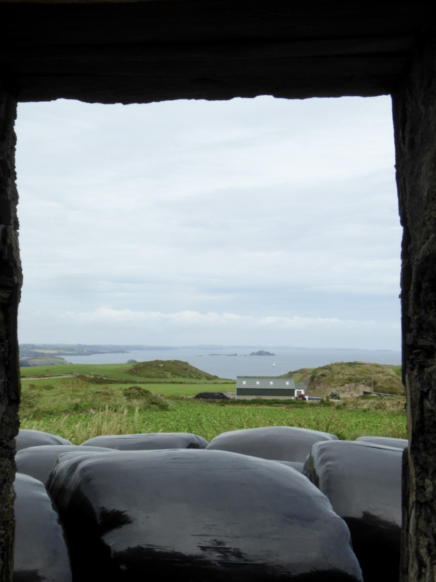
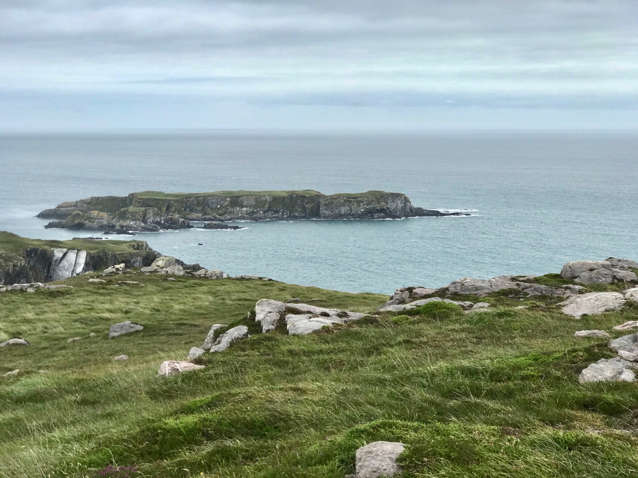
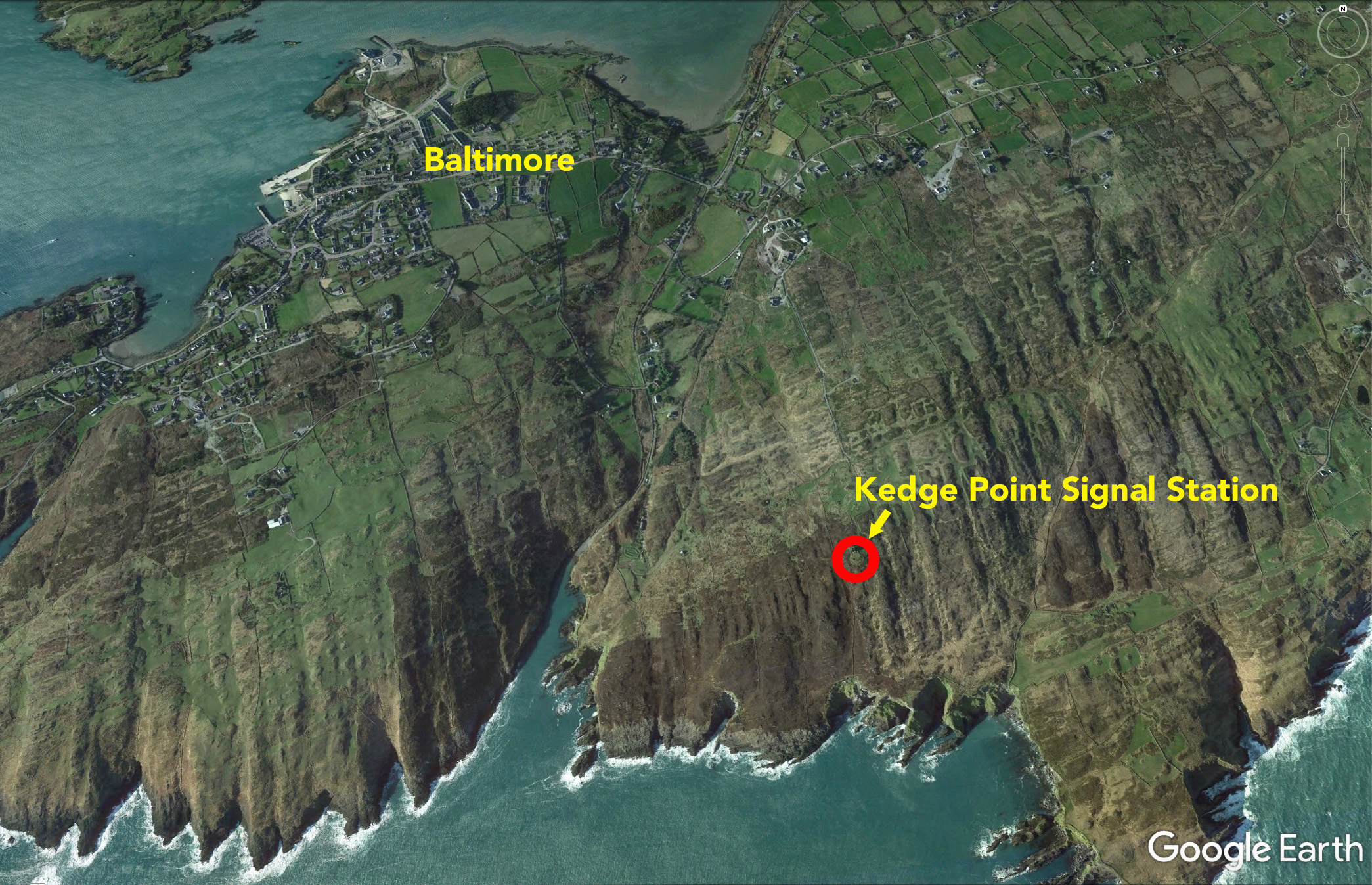
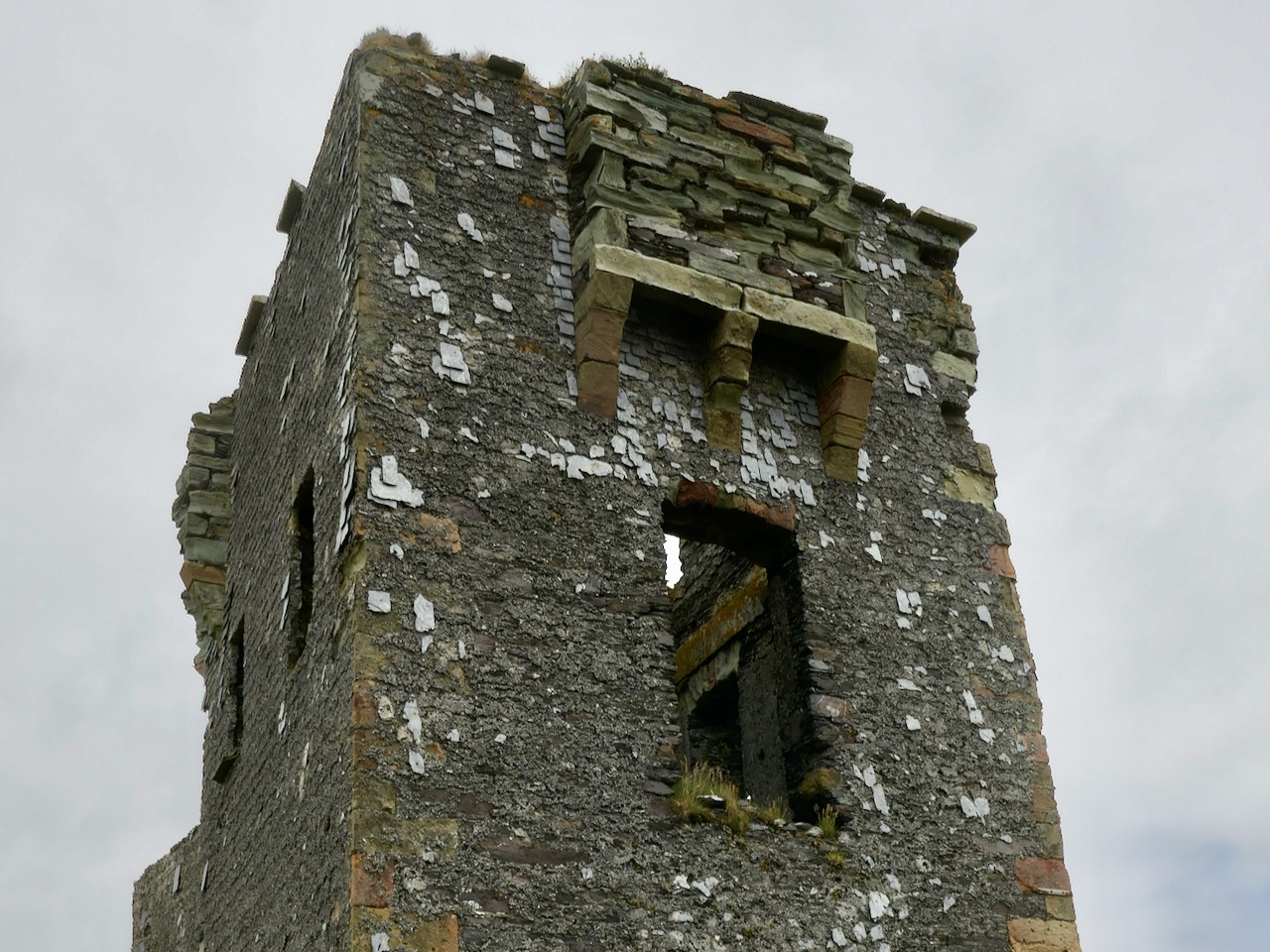
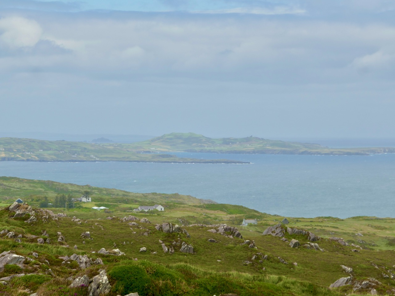
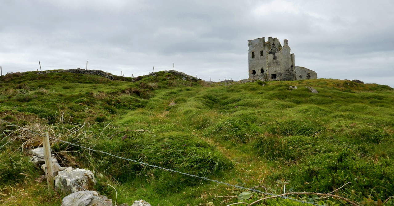
The EIRE sign above is very clearly delineated: it’s on the cliffs at Toe Head, in ‘our’ County Cork.
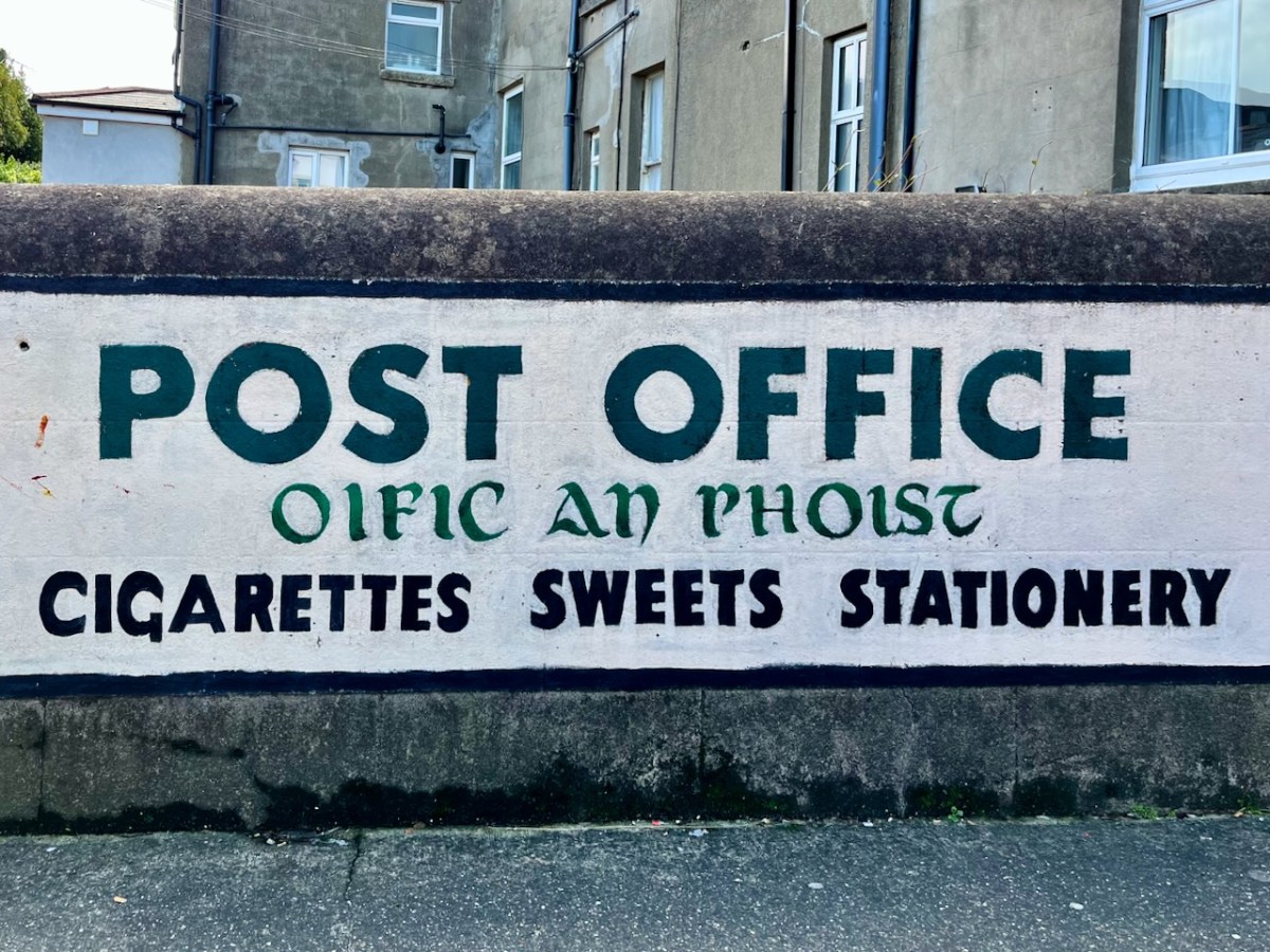
This Post Office sign has been kept intact, probably for reasons of nostalgia. I’d doubt there are many today who would proudly proclaim that the sale of cigarettes is one of their mainstays.
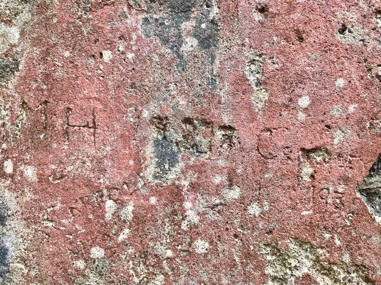
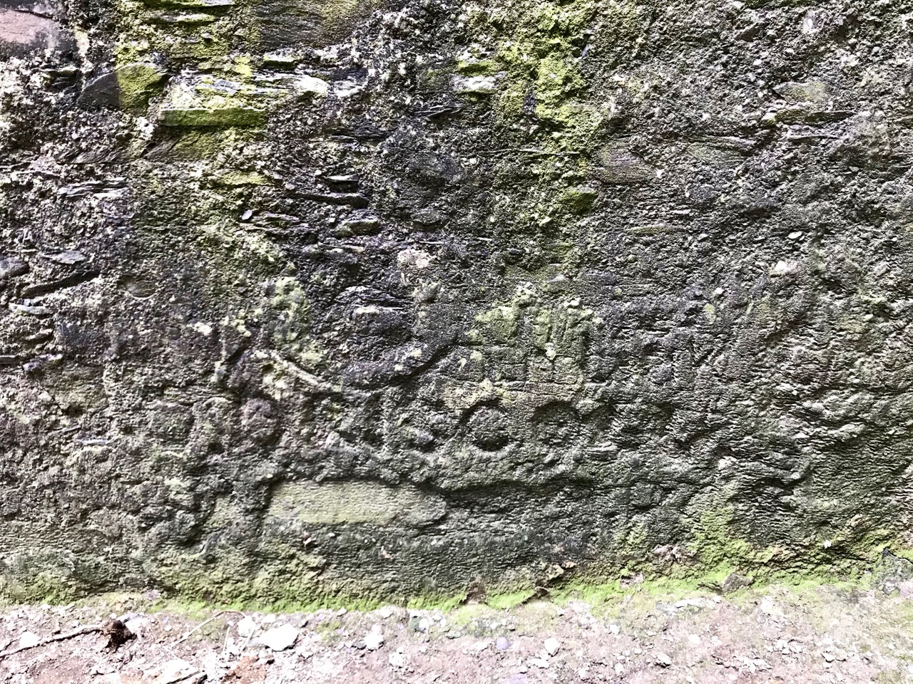
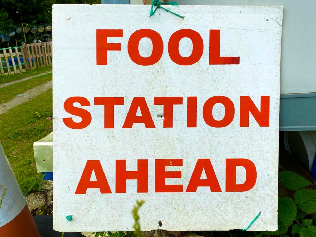
(Above) – I couldn’t resist the enigma of this signwriting . . .

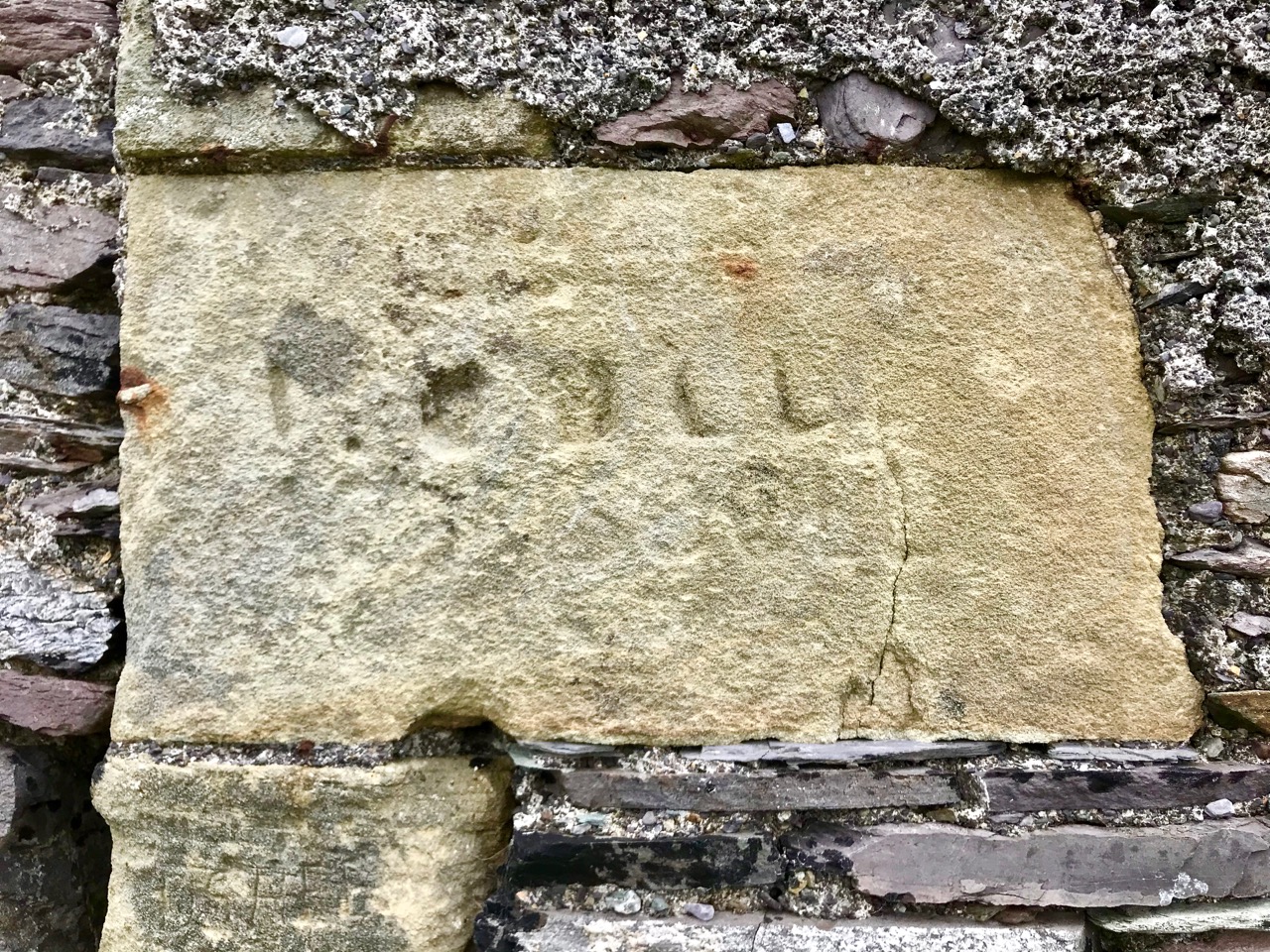
. . . But I think the one above leaves us in no doubt who it speaks to.
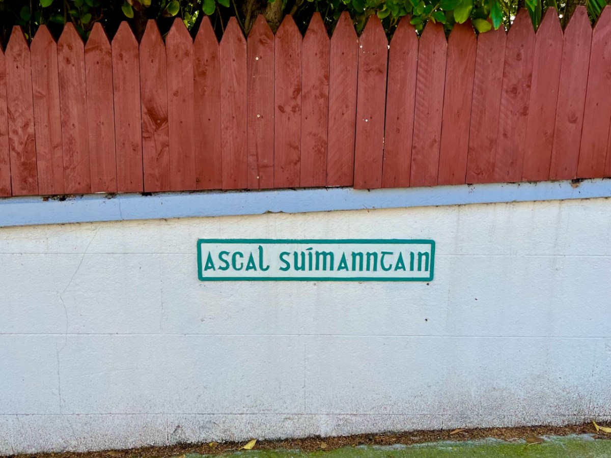
I’d like to understand the meaning of this Irish road name: one AI translator told me it is ‘thought position’, another ‘location avenue’ . . .
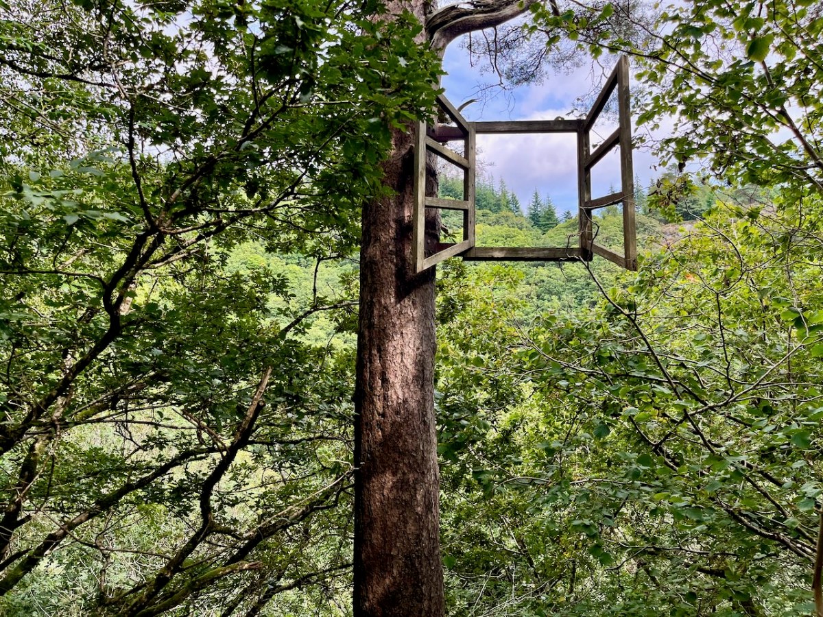
No comment on the two signs above. The following, however, provokes some questions – a window on someone’s world?
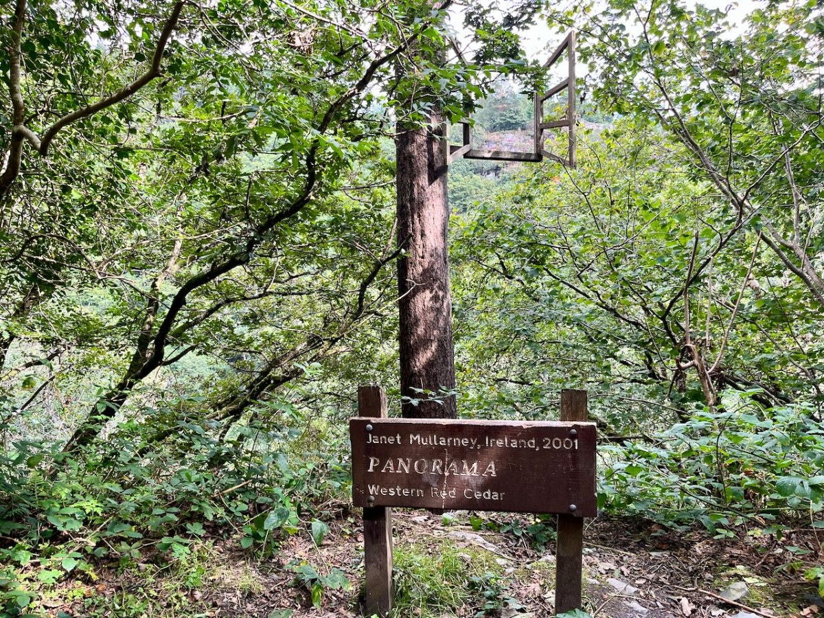
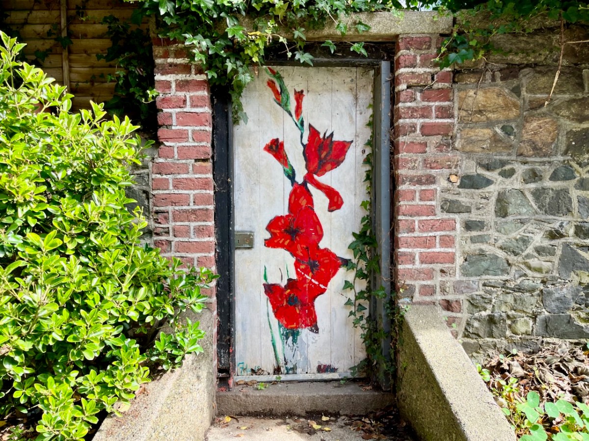
What world does this gate open up to?
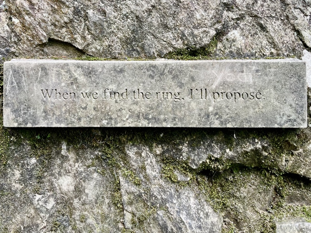
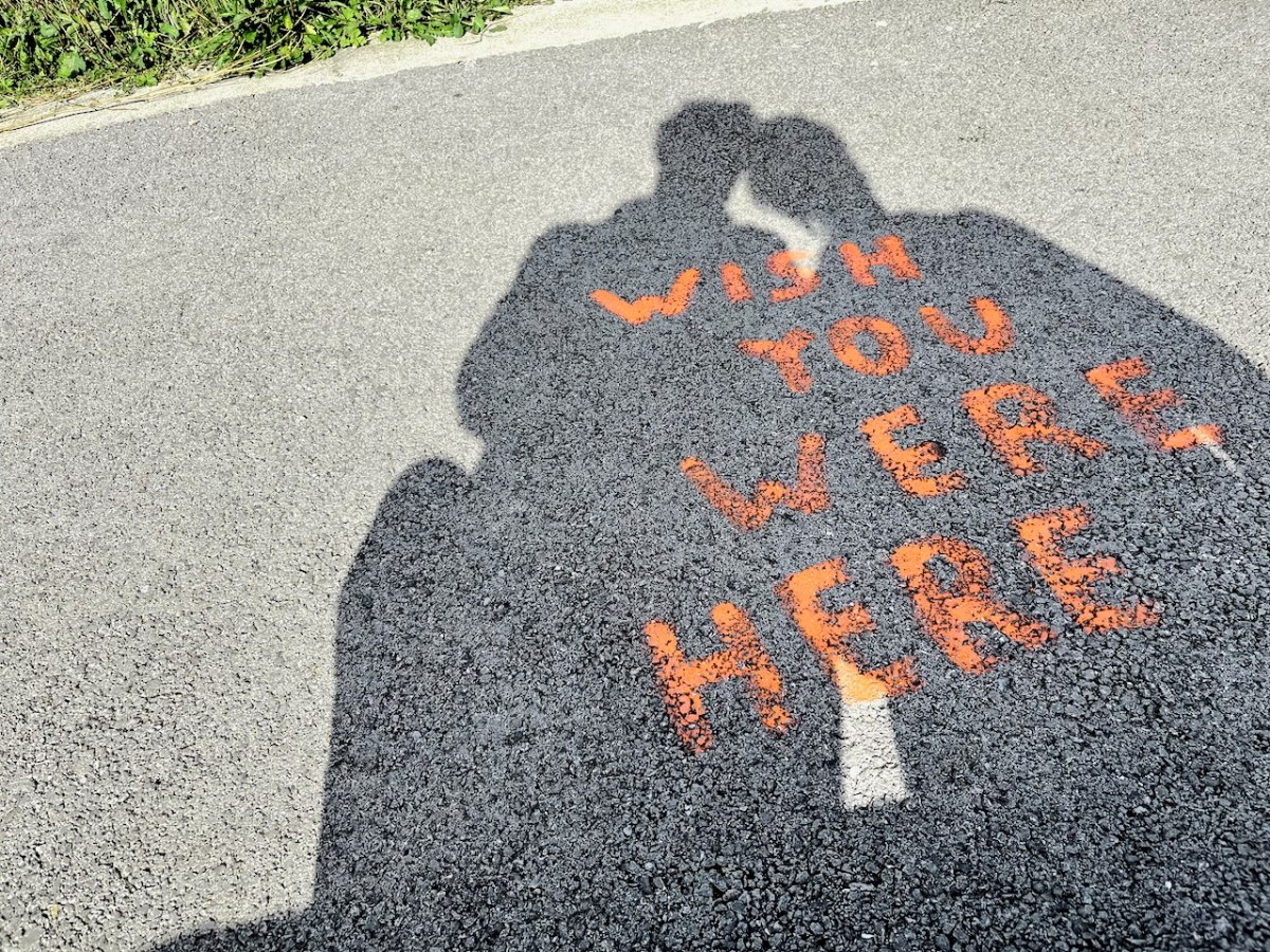
Promises, promises . . . But I think they found it: