
Here’s the latest episode in our series about Napoleonic-era signal towers in West Cork. There are links to the earlier posts at the bottom of this one. That’s Toe Head above – in the far distance, and that view is taken from the signal tower site at Kedge Point, Spain, to the east of Baltimore.
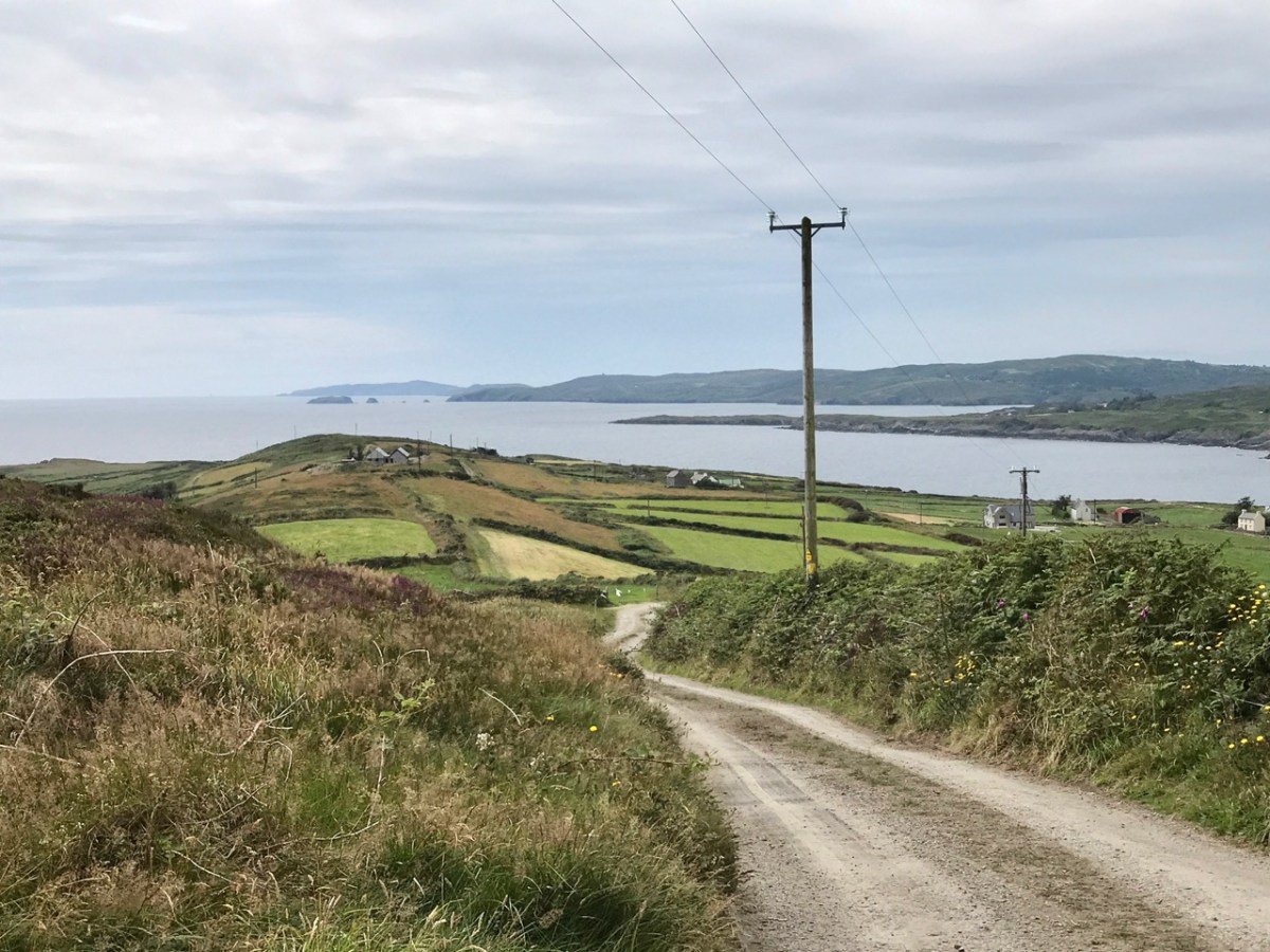
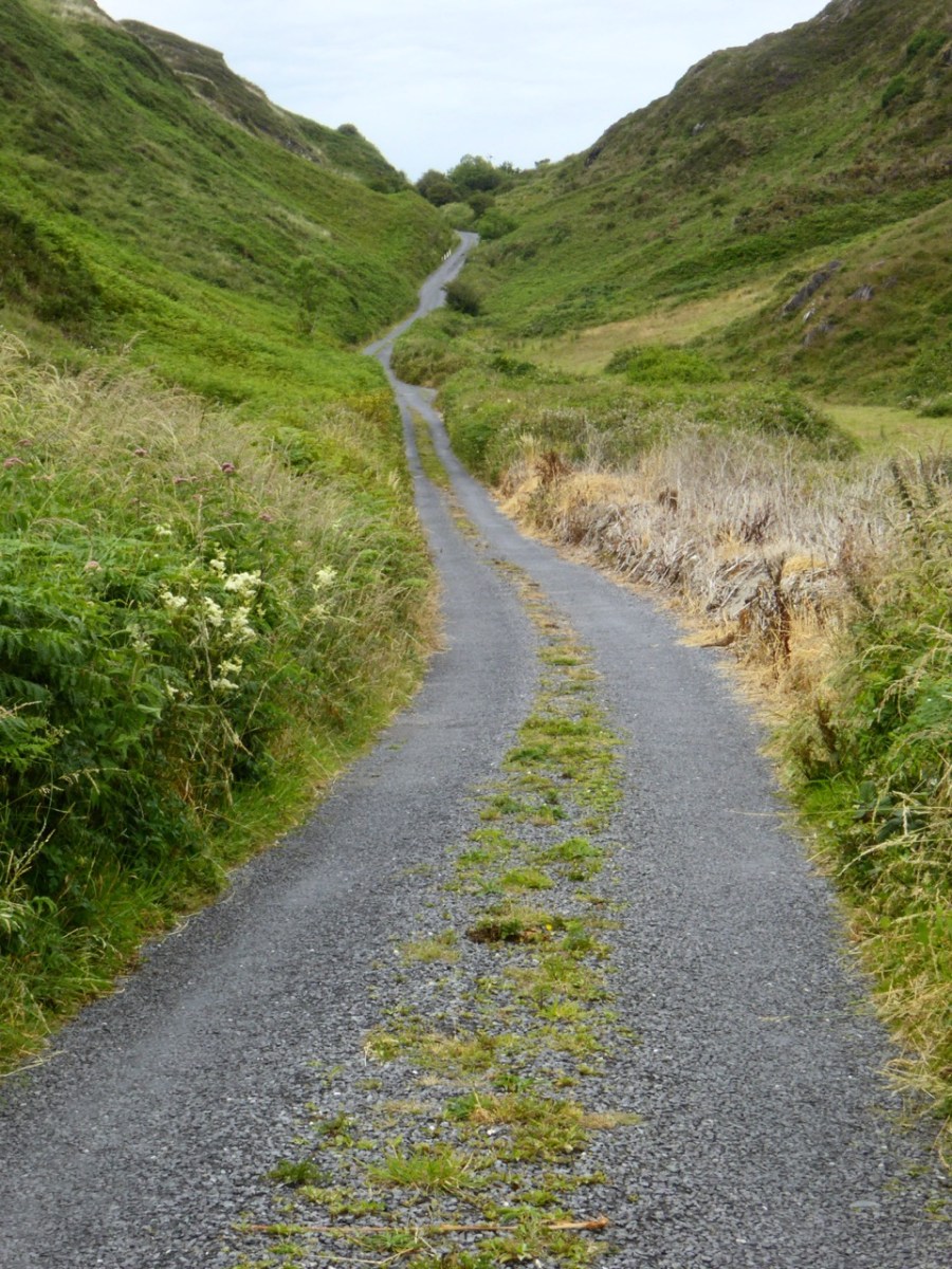
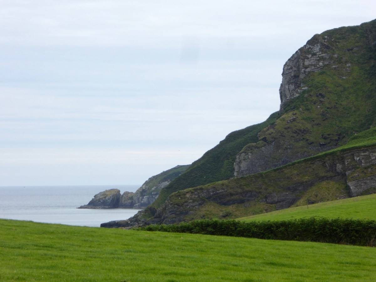

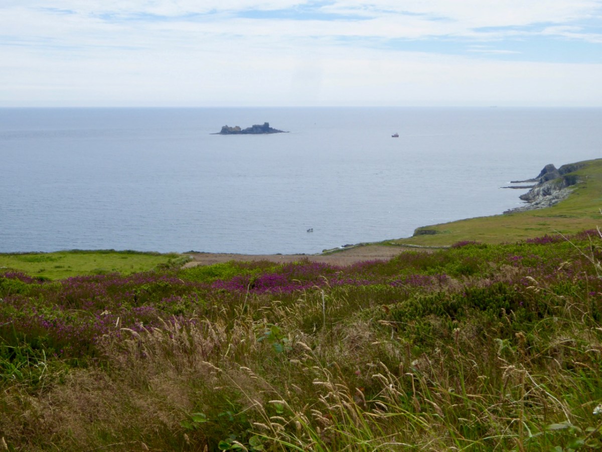
Toe Head itself is a spectacular setting in West Cork: the views, above, show the nature of the terrain, the boreens, and the seascape in the area. So far I have written accounts of nine signal towers: this is the tenth. I’d like to tell you how many of these structures are in West Cork, but that would mean that I would have to geographically define ‘West Cork’. I can’t do that, as there is officially no such area: we are all part of County Cork! All I can do is to let you know that there are nineteen signal tower sites located in the whole County. I have another nine to cover, after this one. But I assure you – Toe Head is definitely in our West Cork!!

Here’s the Toe Head tower – in a sea of black bales. If you have followed the series so far, you will have noticed that each tower is fairly basic, and generally offers the appearance of a medieval castle. But they were all built at the very beginning of the nineteenth century, to provide a system of surveillance and signalling around the coast of Ireland, from Malin Head in the north to Pigeon House Fort, Dalkey, on the east coast. Each signal tower is within view of one – or two – others, depending where it lies on the chain. In the first post in the series, here, I explain the logic and geometry of the project.
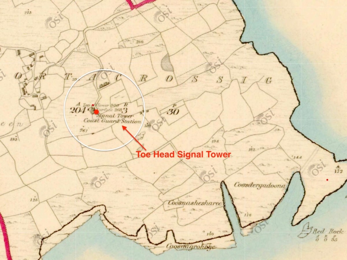

The 6″ Ordnance Survey map extract in the upper picture dates from 1842. By this time the use of the tower for signalling had ceased – the Napoleonic invasion threat lasted only through the first few years of the century: many towers became disused after this and some have vanished altogether, although many ruins do remain because of their remote locations. In the case of Toe Head, the building was adapted to incorporate a Coast Guard Station. I am assuming that, originally, the tower was a simple square structure , and the extension to the rear was added to provide additional accommodation for the Coast Guard service. The current aerial view shows newer farm buildings and an access road close by.

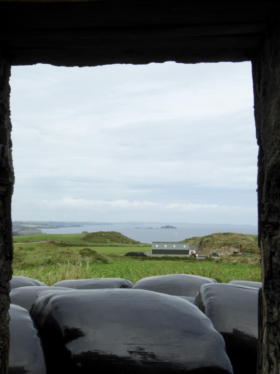
If you look at previous posts in this series, you will see that the Toe Head tower is architecturally simpler, with no bartizans or other ornamentation – it’s more like a small Anglican church tower than a ‘castle’. Like many others, it’s clear to see that this building was slate-hung: this form of weather-proofing was probably added at a later date – possibly when the Coast Guard service took it over. At the centre of the view from the window above you can see the Stag Rocks which in the 1980s became the graveyard of the 900ft long Kowloon Bridge, a bulk cargo carrier travelling from Quebec. The ship was disabled by a storm and then abandoned, drifting on to the Stags. A detailed account of the event was posted in the Irish Examiner 30 years later.

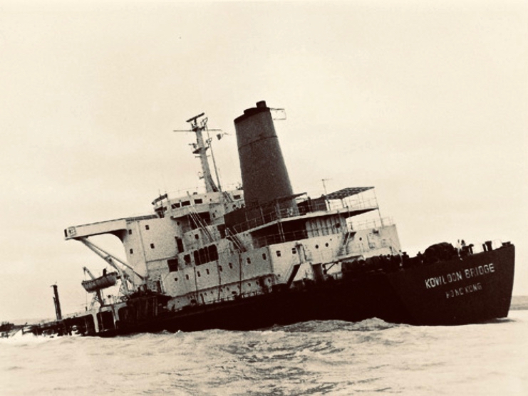

The abandoned Wreck of the Kowloon Bridge close by the Stags in November, 1986 (centre picture). The lower picture shows the wreck underwater today (courtesy Aquaventures.ie): she drifted out of control towards the rocks before running aground on the reef. The resulting fuel spill spread out over the Irish coastline causing extensive damage to local wildlife, and financial losses for the local fishing fleet. Apparently, no-one was ever held to account for the environmental disaster.
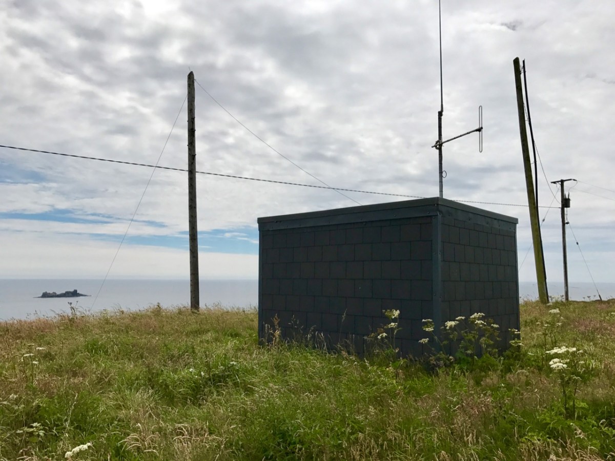
The Stag Rocks can be seen in my picture above, which shows the current incarnation of a World War II Lookout Post that was put in place close by the older signal tower in 1942. You can read more about these lookouts in this post: they were designed by Howard Cooke RIBA of the Irish Office of Public Works at the outbreak of that war (during which Ireland remained neutral). I mentioned in that same previous post an art installation project carried out in 2014 by Tim Schmelzer of Vienna. His work at Toe Head is particularly impressive, and here are some still shots to illustrate the nature of the artworks, which were created on-site using high-powered projection equipment.
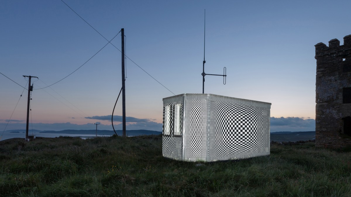
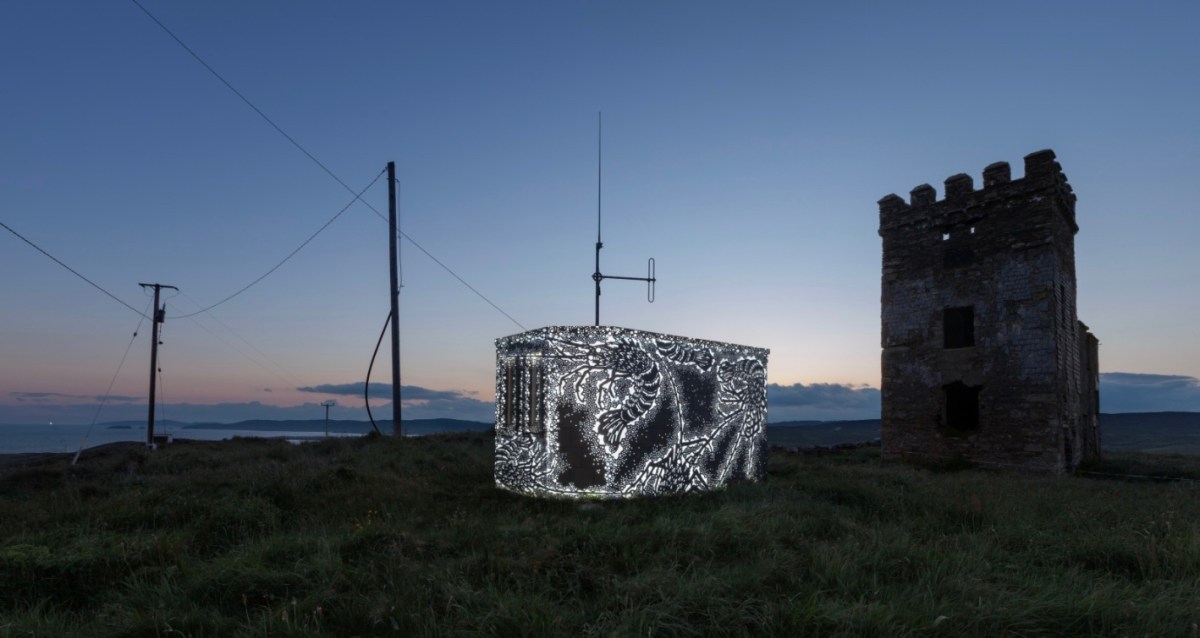
The signal tower ruin today is gaunt and desolate. Nevertheless it’s an atmospheric place to visit. On the slopes below the building is an EIRE sign (officially number 28), also dating from the World War II years, when Irish neutrality had to be spelled out to the warring powers flying overhead. I came across an interesting comment from Anne Wilkinson in 2018, giving a slightly different take on the EIRE signs:
. . . These EIRE signs were also to alert German Pilots and crew who were conscientious objectors and who had overflown the UK, to ditch and parachute to safety. Many airmen lived at the Curragh Camp. They were allowed freedom during the day, eg. they often cycled the lanes and roads to enjoy the peace and quiet and then returned to the Curragh Camp for their curfew hour . . .
http://eiremarkings.org/the-map/

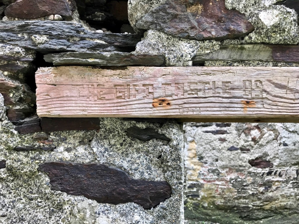
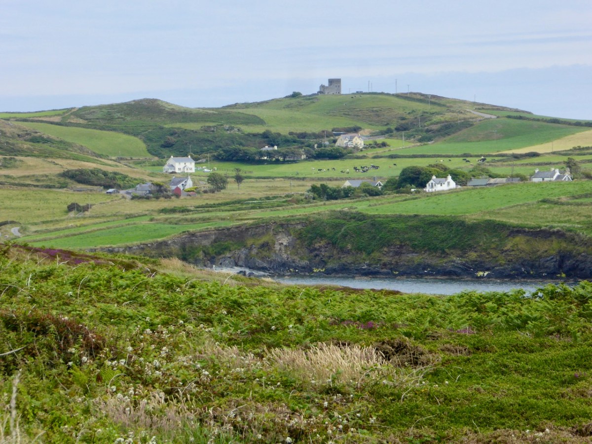
And here’s a little enigma to finish off the post (above). It’s graffiti carved on a timber lintel over one of the openings of the signal tower buildings. It’s probably quite recent – dating from ’89 or’99 – but what does it spell out? And why is it here? It’s tempting to say THE GIFT CASTLE but that ‘T‘ after the GIF doesn’t ring true . . . There’s a story there somewhere: perhaps one of our readers can give us a clue! Finally, here’s a distant view of the signal tower, looking across Toe Head.
The previous posts in this series can be found through these links:
Part 2: Ballyroon Mountain, Co Cork
Part 3: Old Head of Kinsale, Co Cork
I puzzled over the carving only today. What a fabulous location!
LikeLiked by 1 person
Thank you, Stephen. I haven’t been able to add anything to this enigma – yours is the only response so far!
LikeLike
Gaunt and desolate but what a magnificent location and I love the cheekiness of the art installation. The carving is intriguing, I hope you get some answers to that.
LikeLiked by 1 person
I may have a long wait, Amanda!
LikeLiked by 1 person
Great post. DH
Sent from my iPhone
>
LikeLiked by 1 person
Thank you, Mart!
LikeLike