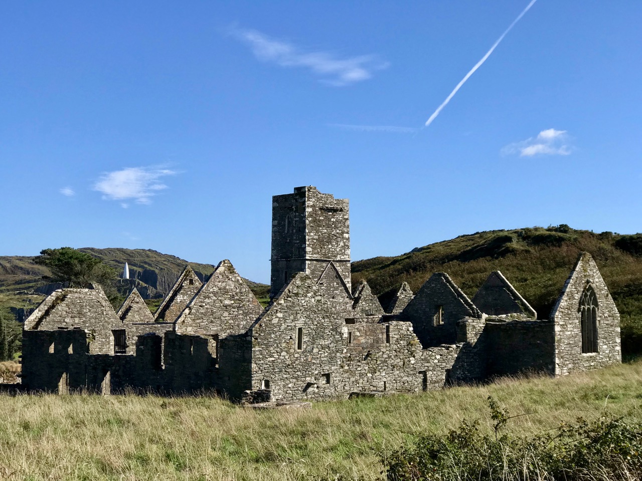
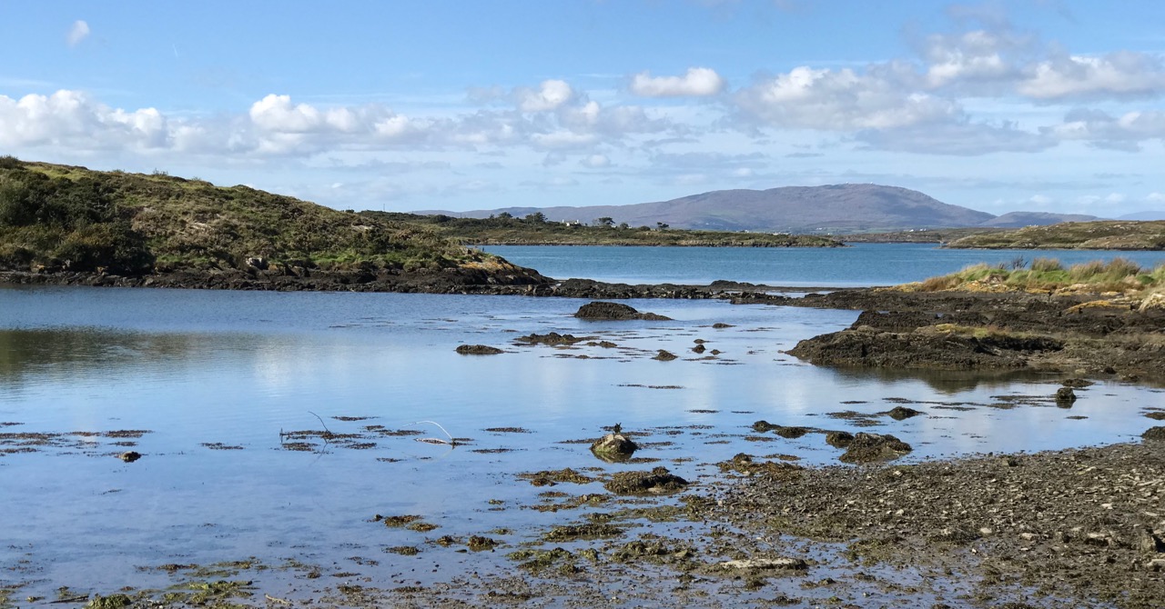
Surely one of the most picturesquely situated in Ireland, the early nineteenth century church at Aughadown on the Ilen is surrounded by a graveyard that tells the story of Irish and local history. Locals, by the way, use the pronunciation Affadown, and for the river, it’s Eye-len.

The church we see now dates from 1814, but there was an even older church on this spot once, of which no trace now remains. The 1814 church was no longer fit for purpose by the 1870s and was replaced in 1872 by the much larger St Matthias church, exactly a mile (1.6km) to the north along what is now the N71.

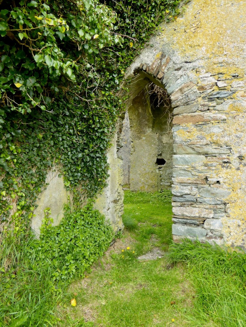
As the church fell into ruin it gradually accrued the ivy and the general air of dereliction that are the indispensable attributes of the romantic, greatly augmented by its charming siting on the banks of the Ilen river. Oxeye Daisies cover the graves in spring and summer, while Thrift flourishes along the banks. The outlines of the slate-hanging that would have kept the interior dry are still obvious on the outside walls – see the photo above.
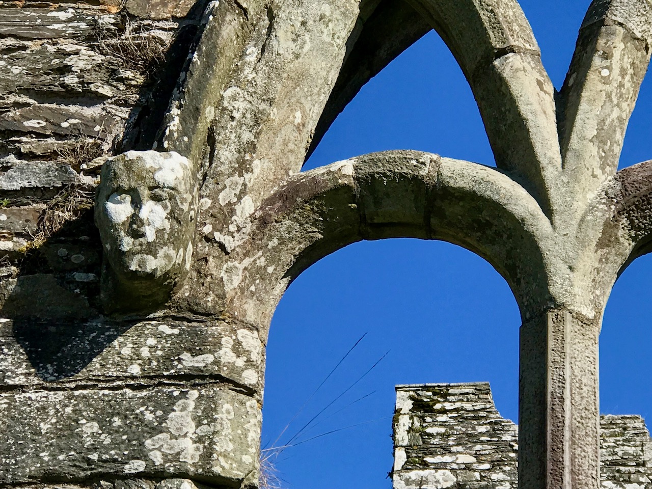
Inside, the church looks remarkably small by today’s standards and it’s easy to see how a congregation would have outgrown it over time. There are some unusual design features, such as round-headed arches and windows rather than the more common gothic ogees.
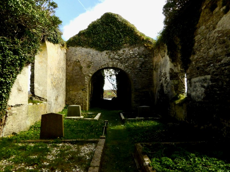
But it’s the graveyard that is the most fascinating part of this site. As the community graveyard of that place, it was used by all – Church of Ireland, Catholic and Dissenter. Plots seem to follow family lines, rather than, as in many West Cork graveyards, separate areas for Catholic and Protestant. As a result, there are some curious juxtapositions.

The graveyard has been surveyed and recorded by a volunteer group coordinated by the Skibbereen Heritage Centre. For a burial place as old and overgrown as this one, with faded or non-existent inscriptions, this was a herculean undertaking! But the good folks at the Skibb Heritage Centre seem to thrive on challenges like this. As they say themselves – they ‘get’ graveyards.

From their own website, here is an account of one of those ‘curious juxtapositions’:

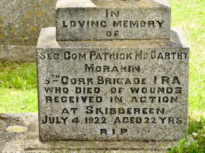
Among those buried at Aughadown is Patrick McCarthy of the 5th Cork Brigade of the IRA. He took part in the Kilmichael Ambush in 1920 and was shot during the Siege of Skibbereen in 1922, aged 22. It was said that a lit cigarette revealed his location to his assassin. A plaque now marks the spot where he was killed on the Windmill Rock in Skibbereen.
Very close to the Patrick McCarthy grave is the tomb is of the Bechers of Aughadown, once major landlords in the area. Buried in this plot is Colonel Thomas Becher who died in 1708 and served as aide-de-camp to King William of Orange at the Battle of the Boyne in 1690

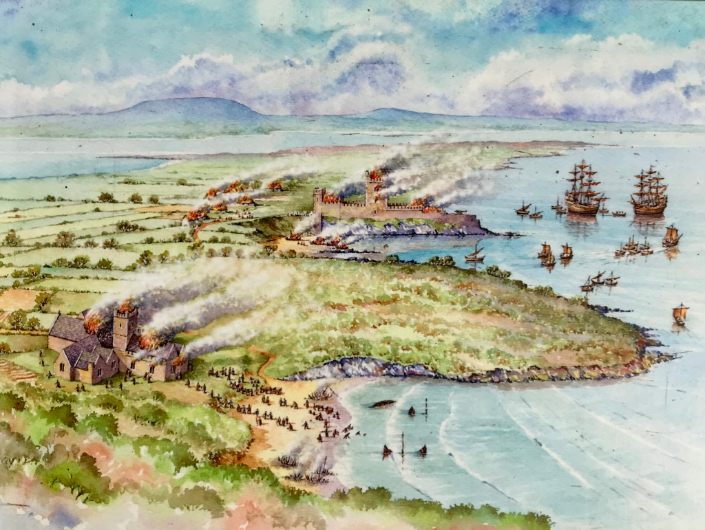
The Bechers were responsible for the fortified manor house at Aughadown that I reported on in Moving Up in Tudor Times. Descended from Fane Becher, one of the founders of Bandon, they intermarried with all the local families and the name Becher is familiar in other graveyards too – Castletownshend for example.

A detail from a memorial window in St Peter’s Church in Bandon

Here’s a lovely old headstone with a depiction of an angel playing a trumpet, although I can’t make out the inscription
Lionel Fleming is buried here – a man infamous for his conduct during the Famine, but so too is Dr Stephen Sweetnam, a dispensary doctor responsible for saving many lives during that terrible time.

The Tonson tomb in the foreground
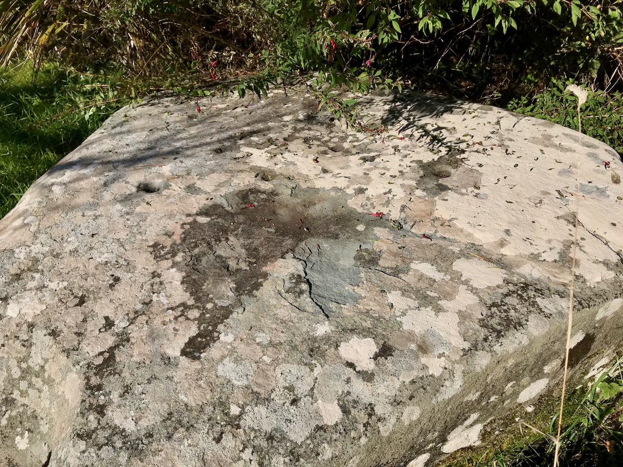
The oldest recorded burial (although probably not the earliest) is that of Henry Tonson, about whom I wrote in my post New Court Bridge – a Hidden Wonder. It dates from 1703 and appears to be on slate, with an incised inscription that reads Here Lyes the body of Captn Henry Tonson who departed this life November the twenty fifth and in the thirtyeth seventh year of his age 1703.

A wander around this old church on a sunny day is rewarding. You’ll find yourself marvelling at the wildflower meadow while simultaneously seeking out old headstones and wondering about the lives of those buried here. Perhaps you might even arrive by boat, or kayak, as just outside the gate is a stopping place for the newly developed Ilen River Blueway.

However you arrive, you will leave – and I guarantee this – in a better mood.