Equinox!

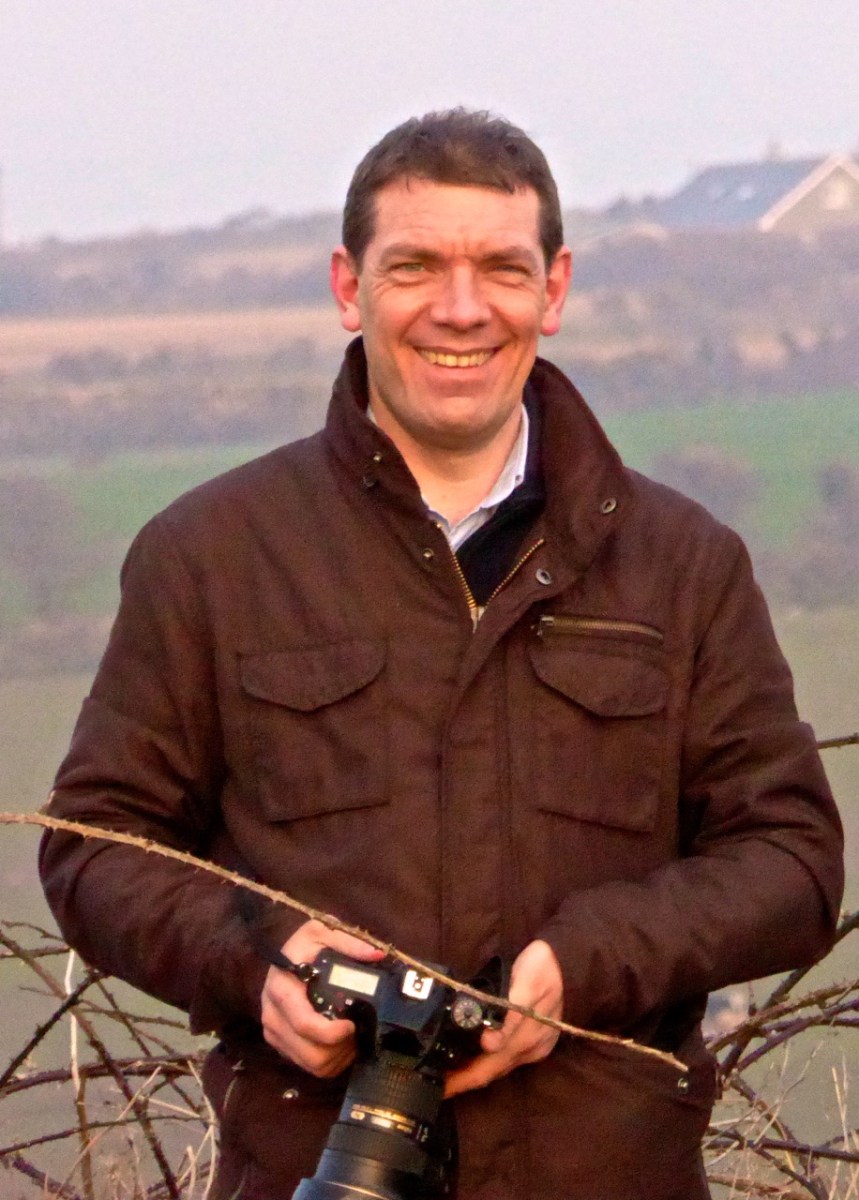
Ken Williams - capturing the moment

We’ve just passed the Equinox – one of the two moments in the year when day and night are of equal length. This happens once in the spring and once in the autumn. This year that moment was March 20th at 9:01AM, but it can fall between the 19th and the 21st, depending on the year. The autumn equinox this year falls on Sept 22, but it can range from the 21st to the 24th.

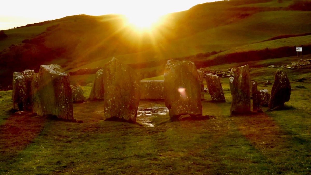
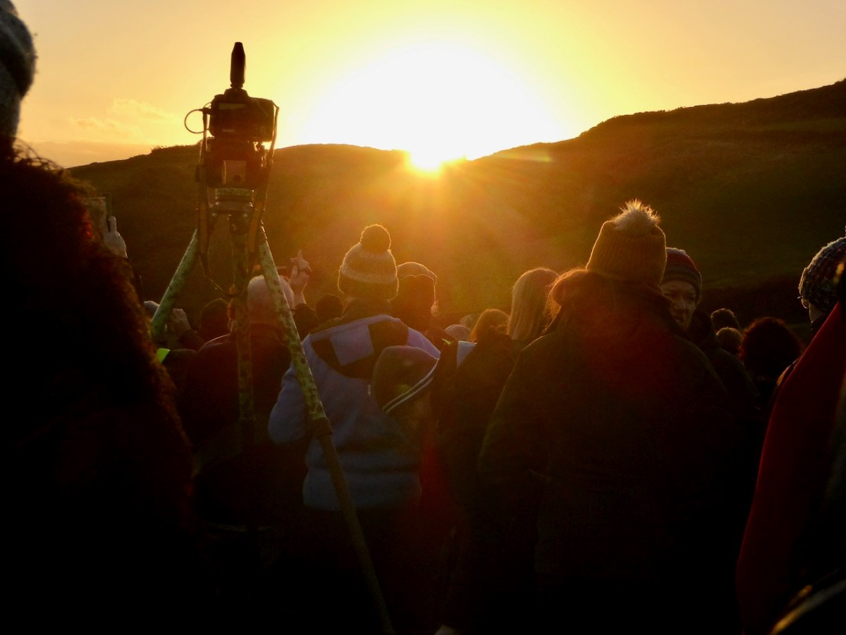
Prehistoric monuments in West Cork often have an orientation – the most famous of course is Drombeg stone circle (above in 2020). It’s a multiple stone, ‘axial’ circle, with two portal stone opposite a recumbent stone. On the winter solstice (this year on Dec 21st) the sun sets behind the recumbent, diametrically across from the portal stones (this is the ‘axis’). Attending this event is always great fun as well as an opportunity to join in a celebration that is thousands of years old.

There is a rhythm to the year provided by these four solar events – the longest day (summer solstice), the shortest day (winter solstice) and the equal-length days (equinoxes). Add to that the cross-quarter days – the points half way between the solstices and equinoxes, and we have a natural calendar of eight divisions.

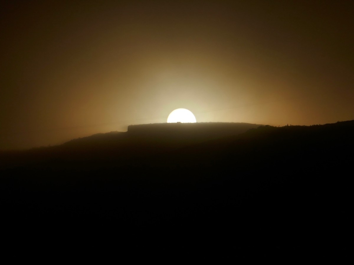
The cross-quarter days, by the way, are the ones that track most closely to the great ancient Festivals in Ireland of Imbolc, Bealtaine, Luanasa and Samhain. Although nowadays these tend to be celebrated on the 1st day of February, May, August and November, in fact the dates would have varied and in 2025, the accurate dates for the cross quarter days are Feb 3, May 5, Aug 7 and Nov 7. This is important to know as various solar events happen on cross-quarter days, and if you want to see them, you have to turn up on the right day! See this post on Boyle’s Bealtaine for a good example of this – the photo above was taken on May 5, 2018.

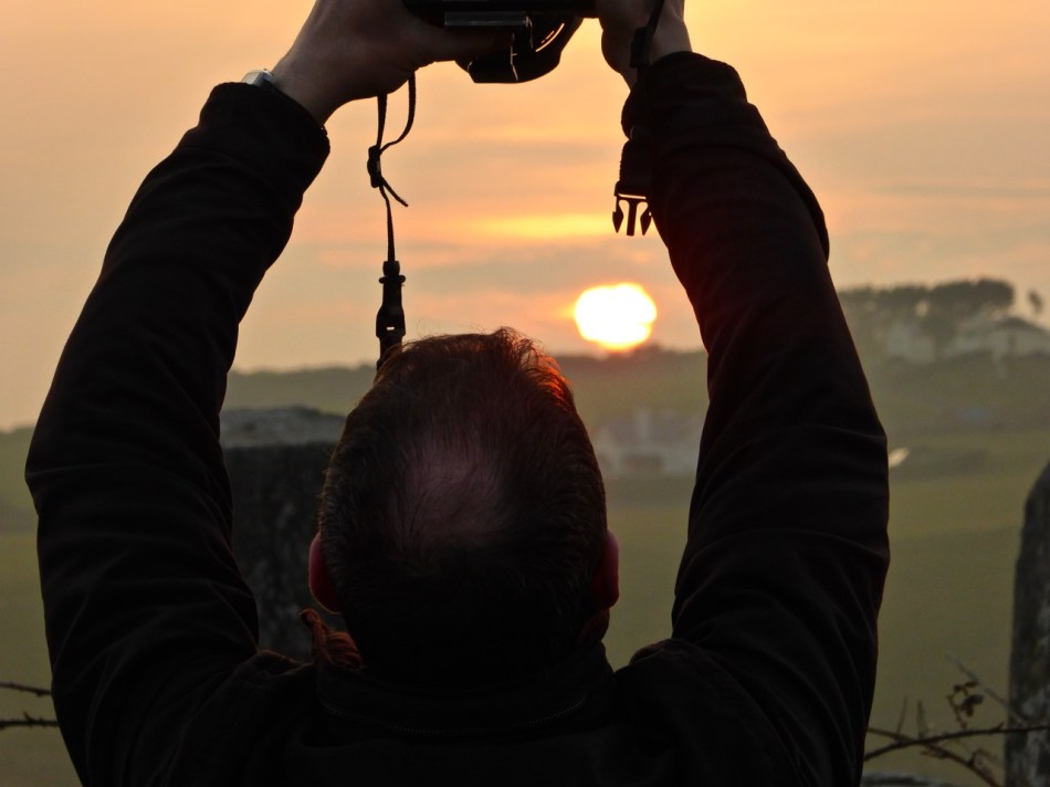
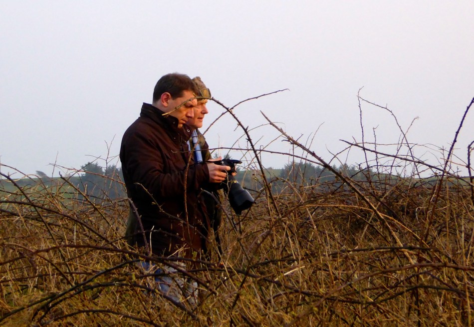
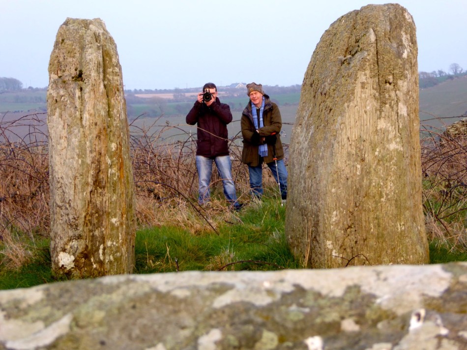
Ken and Robert: getting ready for sunset at Bohonagh

A few years ago, we met up with Ken Williams of Shadows and Stone, to photograph the equinoctial sunset at Bohonagh Stone Circle, near Rosscarbery. Ken is the undisputed master of prehistoric photography in Ireland. His website contains high-quality images of many different kinds of monuments, he supplies photographs for all the best publications, and he was our partner in the Rock Art Exhibitions we mounted in the Cork Public Museum and in Schull.

flashes strategically deployed

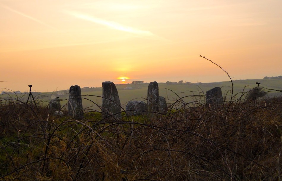
Ken’s work on rock art is astounding. We know first hand how difficult it is to get good photographs of the carvings. Many of them are covered in lichen, obscuring all the detail, and can really only be discerned in long slanting light, such as at sunrise or sunset. Ken uses both natural and artificial lighting to capture his excellent images and when we first met first we asked him how he packed all those lights up to the remote locations in which a lot of rock art is found. He grinned and opened his backpack. “This is my equipment,” he said, “It’s all I use.” Essentially his gear consists of a camera, flashes, and tripods – strategically deployed in the photograph above. If you want to see the difference between what Ken captures and what us ordinary mortals manage to do, take a look at the first two images in the post Revealing Rock Art.

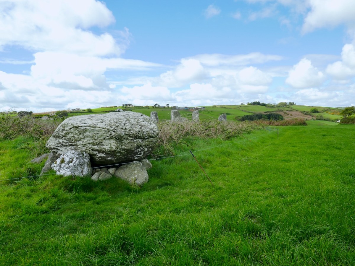
it was a beautiful evening – perfect conditions to see the sun sink behind the recumbent stone. Bohonagh (above) is a complex site. Not only do we have a stone circle, there is also a boulder burial, featuring a rather spectacular quartz supporting stone and cupmarks on the upper surface of the boulder, as well as a cupmarked stone hidden in the undergrowth between the boulder burial and the stone circle. It’s been excavated.*

Looking over the recumbent

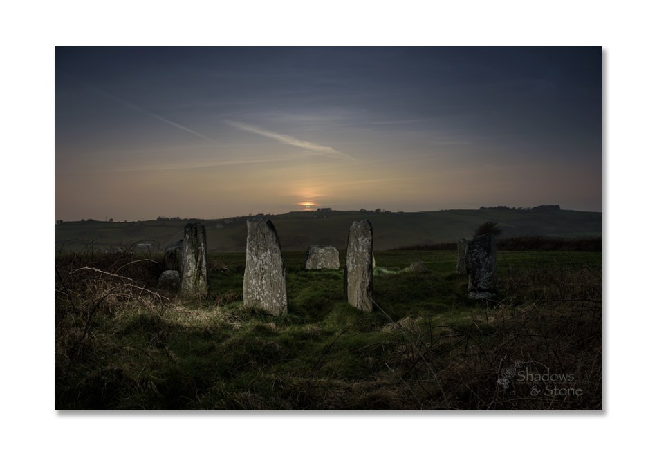
It was a treat to see a master photographer at work and to have Ken explain how he gets those amazing shots. From previous attempts, I knew how difficult it was to portray a scene when you’re aiming directly into the glare of the setting sun. This time I concentrated on capturing the photographer at work. Ken, meanwhile, worked his usual magic – and here’s the result, included with his permission. Not only can you see everything, including the still blue sky, but his picture captures the mysterious ambiance of the setting and the occasion.

BohonaghEquinox15-12

Our thanks to Ken for an inspirational photo shoot.

Thanks, Ken!

* A stone circle, hut and dolmen at Bohonagh, Co. Cork, by EM Fahy, 1961

Ogham Stone or . . . ?

It’s been an eclectic week – Amanda, Peter and I had a skite out to Inchydoney, and I finished off the week with a trip to Barley Cove.

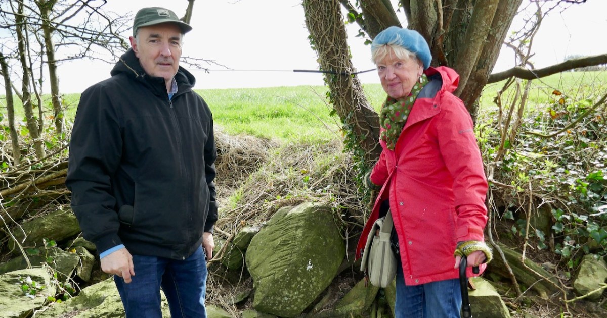
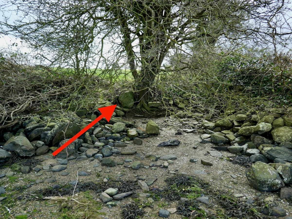
Inchydoney Island is a beautiful, unique and historical part of West Cork. Just south of Clonakilty, it was indeed once an island but now is connected to the mainland with causeways. The reason for our trip was to check out an intriguing stone, spotted by Willie O’Regan, along the shore. Willie’s thought was that it might be an Ogham stone and he wanted to check that out. It had fallen forward out of the bank in recent high tides, revealing parallel grooves along its length – just the sort of thing you might expect from an Ogham stone.

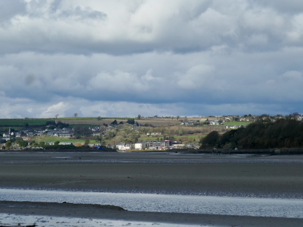
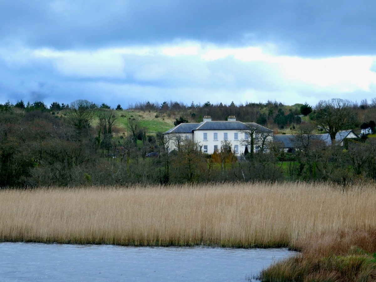
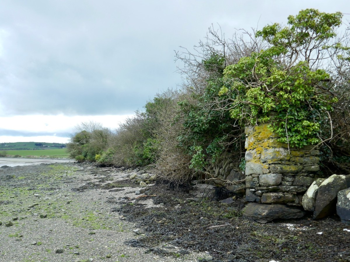
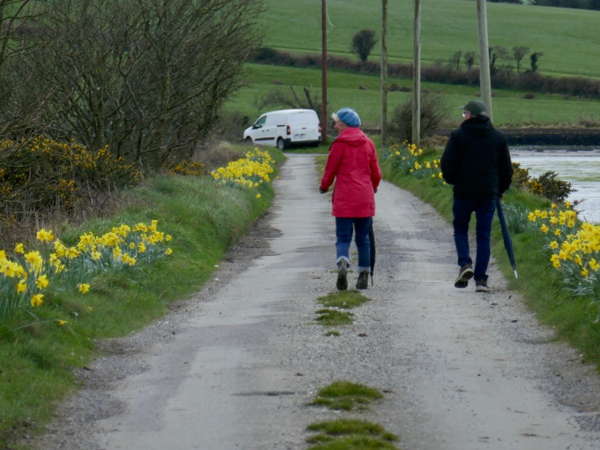
We rendezvoused with Willie on the north side of Inchydoney, across from Clonakilty (above) and walked along the shore, while he told us about the history of the area. We could see across the pond known locally as the Beamish Lake to the Hungerford House, originally called Inchydoney House. It has been purchased and magnificently restored in recent years, the owners pouring resources and loving attention into their project, including restoring the walled garden.

The shoreline had been – er – shored up by rocks and rubble all along its length. It may originally have been walled – designed landscapes were very popular in the 18th century – take a look at New Court, for example. There may also have been small inlets and launching places along the edge. At one such possible spot Willie showed us what he had found. 

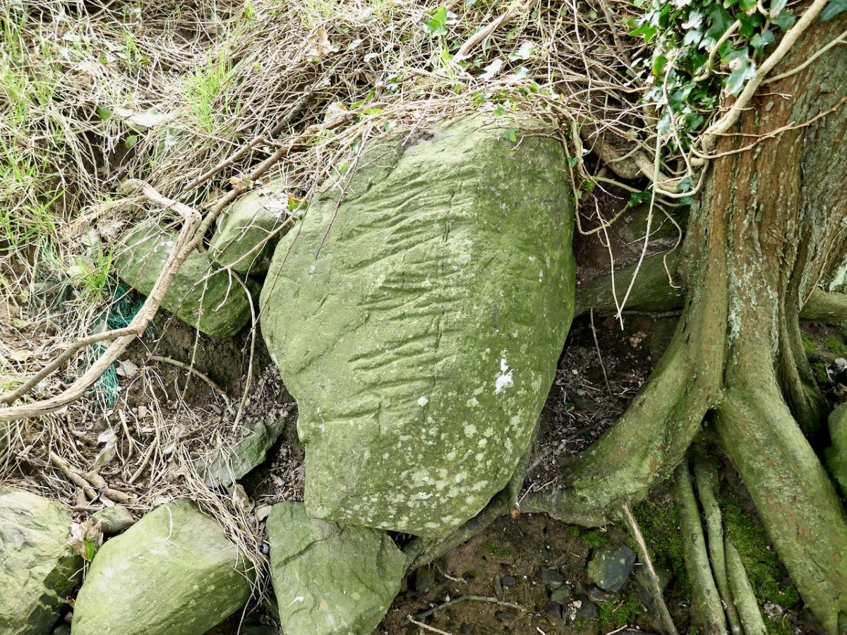
We examined it thoroughly and took lots of photos. It wasn’t an Ogham stone – although anyone could be forgiven for mistaking it for one! The grooves are actually plough marks. 

As the plough passes over and through the soil, it runs across stones that are just at the right depth below the surface, gouging out these grooves. Over the years, many grooves appear. Sometime the stones, if they are small enough, roll over and the grooves appear on other surfaces, as seems to be the case with this stone.

Plough-marked stones like this could be any age – this one could be medieval or more recent. It was probably finally unearthed and tossed to the edge of the field to join the other rocks keeping the water from eroding the shorelines, eventually falling forward and revealing itself to Willie’s keenly observing eyes. It tells a story – a story of cultivation and hard work and a story of never throwing anything away, and a story of a man who walks these shores for pure pleasure and never misses a trick. Thanks, Willie – we had such a good time on this walk!

And – to learn all you ever wanted to know about Inchydoney Island, read Robert’s epic post from 2021, Inchydoney – and Virgin Mary’s Bank

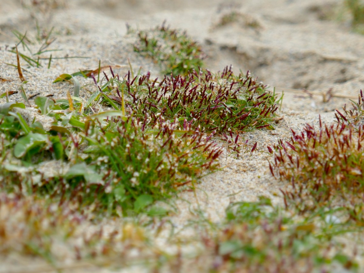
And Barley Cove? As last year, I went out to see what I could see of the Early Sand-grass. A remarkably homely little tuft of grass that is nevertheless precious because it is extremely rare. I found lots and it felt so good to be out in the fresh air, lying in the dunes, and taking an unconscionable number of photographs of this humble little representative of our incredible West Cork biodiversity.

And then home through some of the most scenic coastline in Ireland. Not that I’m biased.

Marconi and Brow Head

WordPress, to my dismay, has now labelled all the content on this blog as ‘by Finola’. This is due to the necessity, for various reasons, of adjusting ‘ownership’ and management parameters. It’s a bit heartbreaking, though, as it’s no longer easily discernible which of the posts (approx half of the 1,132 posts so far) were written by Robert. So every now and then I thought it would be good to highlight one of his older posts. So here is his wonderful account, written originally in 2014, and titled In Search of Ghosts, of the spirits that haunt Brow Head.

ruin

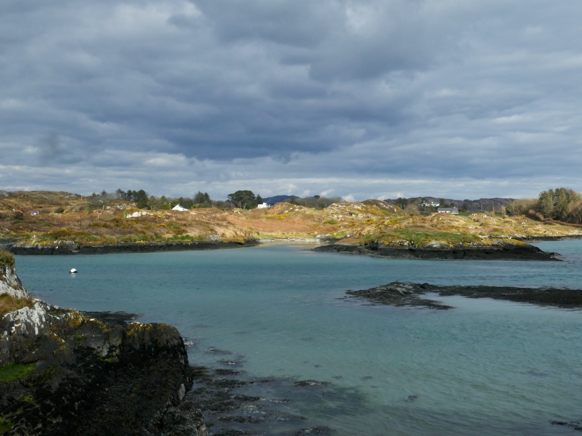
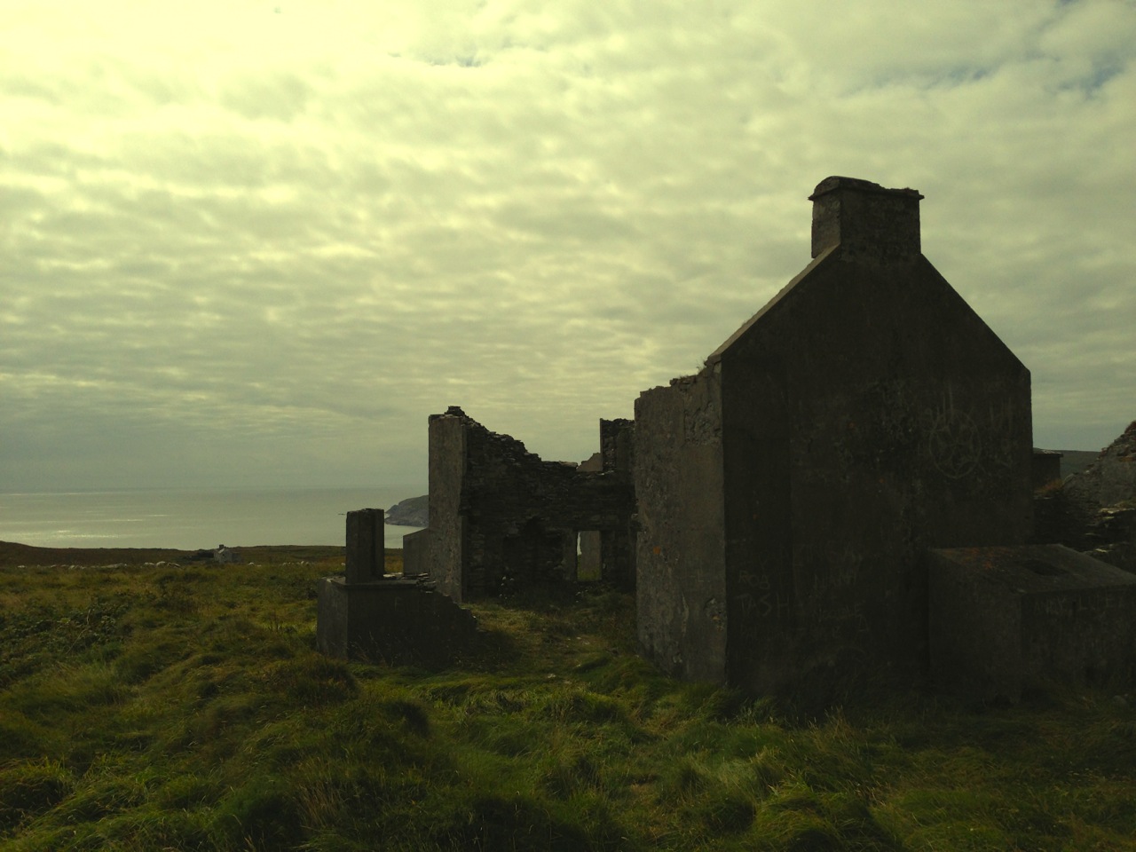
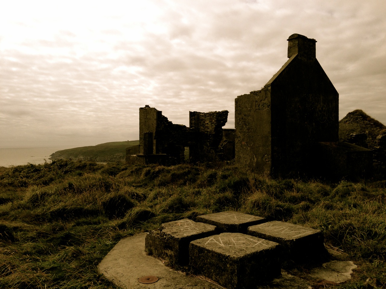
 Lonely and wild – Brow Head is the most southerly point on the mainland of Ireland. There are ghosts here: ghosts of ancient people who created the stone monuments, perhaps 5000 years ago, that are now inundated by every tide in the bay at Ballynaule below this Irish ‘Lands End’; ghosts of early farmers who began to lay out field boundaries criss-crossing this windswept promontory; ghosts of the defenders of an empire who feared a French invasion that never happened; ghosts of the prospectors who sunk two shafts – now barely protected by rusting wire – during the nineteenth century copper mining era; and, lastly, ghosts of the pioneers of our own digital age, represented in the brooding ruins that crown the hilltop here above West Cork’s remotest village, Crookhaven.*

Brow Head - haunt of ghosts
Brow Head – haunt of ghosts
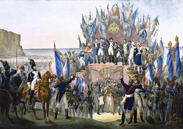
Charles Motte
Napoleon setting his sights on the British Empire 1804 (Charles Motte)
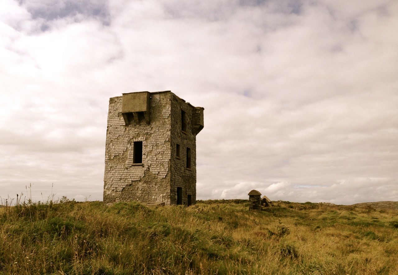
Facing up to Napoleon: Brow Head Signal Tower, built in 1804
Facing up to Napoleon: Brow Head Signal Tower, built in 1804 in anticipation of a French invasion

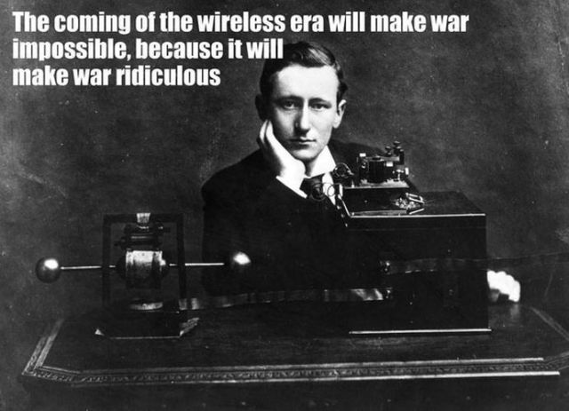
 We can be very specific about one ghost: Guglielmo Marconi – born at Bologna, Italy, on April 25, 1874 to Giuseppe Marconi, an Italian country gentleman, and Annie Jameson, daughter of Andrew Jameson of Daphne Castle, Enniscorthy, County Wexford, Ireland. The Jamesons were and are renowned distillers of Irish Whiskey. It’s reasonable to say that Marconi was an ‘Irish Italian’, and that heritage was reinforced when in 1905 he married Beatrice O’Brien, daughter of the 14th Baron Inchiquin. Marconi’s fame is that he pioneered the commercial application of electromagnetic waves – or Radio.


Marconi - wishful thinking!
Marconi – wishful thinking!

At the age of twenty one, Marconi was able to demonstrate to his father how, without any visible physical link (without wires), he could transmit dots and dashes through the rooms of their home in Pontecchio. “…When I started my first experiments with Hertzian waves…” he is quoted as saying, “…I could scarcely believe it is possible that their application to useful purposes could have escaped the notice of eminent scientists…” His parents used their influence to help him travel to England to meet the Engineer-in-Chief of the British Post Office with the result that in 1896 Marconi obtained the first ever patent in wireless telegraphy.

Signal Station at Poldhu, Cornwall, 1914

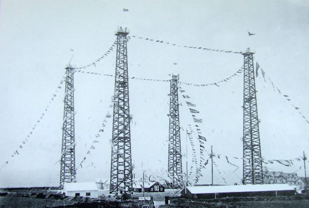
Marconi’s ambitions started in a room in Italy: by December 1901 he was able to send messages from Poldhu, Cornwall, to St John’s, Newfoundland, a distance of 2100 miles – an historic achievement. In his attempts to bridge the Atlantic with Radio waves he had explored the west coasts of Britain and Ireland for suitable telegraphic locations. One of his destinations was Crookhaven, which he visited many times – using the Flying Snail en route!

The Marconi Wireless Telegraph Station at Brow Head - exactly 100 years ago
The Marconi Wireless Telegraph Station at Brow Head – exactly 100 years ago

 Brow Head was one of a number of transmitting stations set up by Marconi and it got off to a flying start soon after opening in 1901 when, in the presence of Marconi himself, Morse signals were received from Poldhu, 225 miles away. The fact that the Atlantic gap was conquered only a few months after this shows the rapid pace of developments at that time.

Calling America...
Calling America…
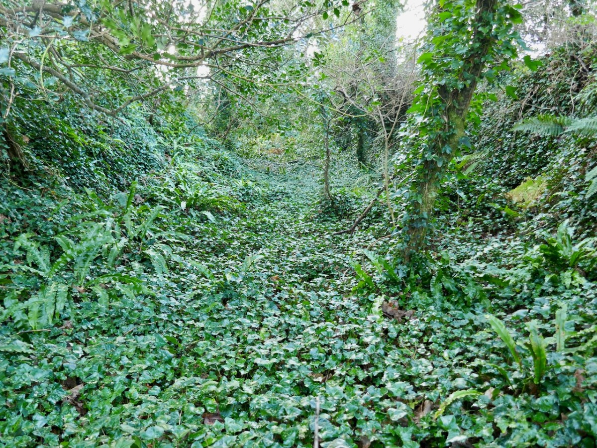
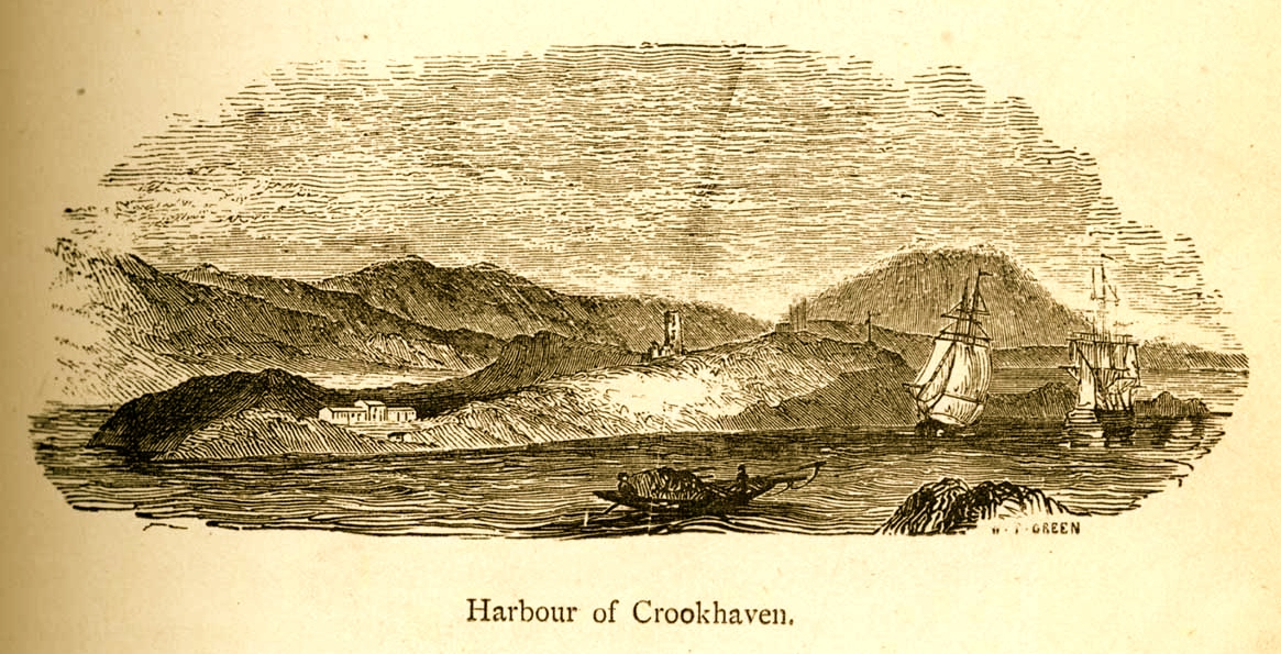
 The village of Crookhaven had long been the first and last port of call for ships going between Northern European ports and America. Over the centuries ships stocked up here with provisions before tackling the open sea. Because of this, the major shipping lines had agents here. Reuters and Lloyds had flag-signalling and semaphore equipment on Brow Head to communicate with the maritime traffic, superseded by the telegraph station. At the end of the 19th Century it was said that “…you could cross the harbour on the decks of boats…” Up to 700 people are reputed to have lived in the area at that time: now, Crookhaven has a permanent population of no more than 40. An article written by one of the telegraph operators in 1911 summarises:

…As Crookhaven is the first station with which the homeward bound American liners communicate it is naturally a busy station. By the aid of wireless all arrangements are made for the arrival of the ships, the landing and entraining of the passengers and mails, whilst hundreds of private messages to and from passengers are dealt with. Messages are also received from the Fastnet Lighthouse, which is fitted with wireless, reporting the passing of sailing ships and steamers. These messages are sent by vessels not fitted with wireless by means of signals to the Fastnet, thence by wireless to Crookhaven, whence they are forwarded to Lloyds and to the owners of the vessels…

Engraving by Mary Francis Cusack, 1875

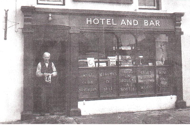
 We have some first hand accounts of the workings of the signal station in its heyday from the handwritten log books of Arthur Nottage – for many years landlord of the Welcome Inn at Crookhaven – who died aged 90 in 1974. In 1904 he arrived in West Cork (from England) to work on a shift basis with one other man as Marconi telegrapher at Brow Head. Until 1914 he operated the Morse code apparatus with a salary – generous for the time – of £1 per week.

Arthur Nottage of Crookhaven

 A hundred years ago telegraphy had advanced to such a stage that it was no longer necessary for stations to operate close to the shipping lanes, and small, isolated sites such as Brow Head were closed down. Legend has it that in 1922 the Irregulars destroyed the buildings during the Civil War.

Becoming Archaeology: the ruins on Brow Head today
Becoming archaeology: the ruins on Brow Head today

 Finola and I have both been inspired by the landscape and atmosphere of this Atlantic frontier. It’s a place we will return to. All West Cork landscapes are impressive, but this is a place apart. If you want to feel at the end of the world, walk here: you won’t meet many others, even in the height of the visitor season. Perhaps that’s because it’s haunted – but in the best possible way. Like so much of Ireland the world has come here – a mark has been made – memories have been left behind. Now, you hear the ghosts in the ever-present currents of wind and surf.

Base of Marconi's mast at Brow Head
Base of Marconi’s mast at Brow Head

 *I am grateful to Michael Sexton and the Mizen Journal (Number 3 1995) for many fascinating items on the Crookhaven Telegraph Station not recorded elsewhere.

The Anglo-Normans in West Cork: Hiding in Plain Sight, Part 2

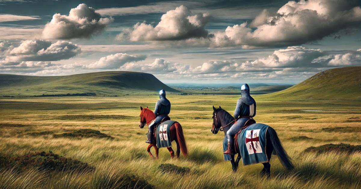
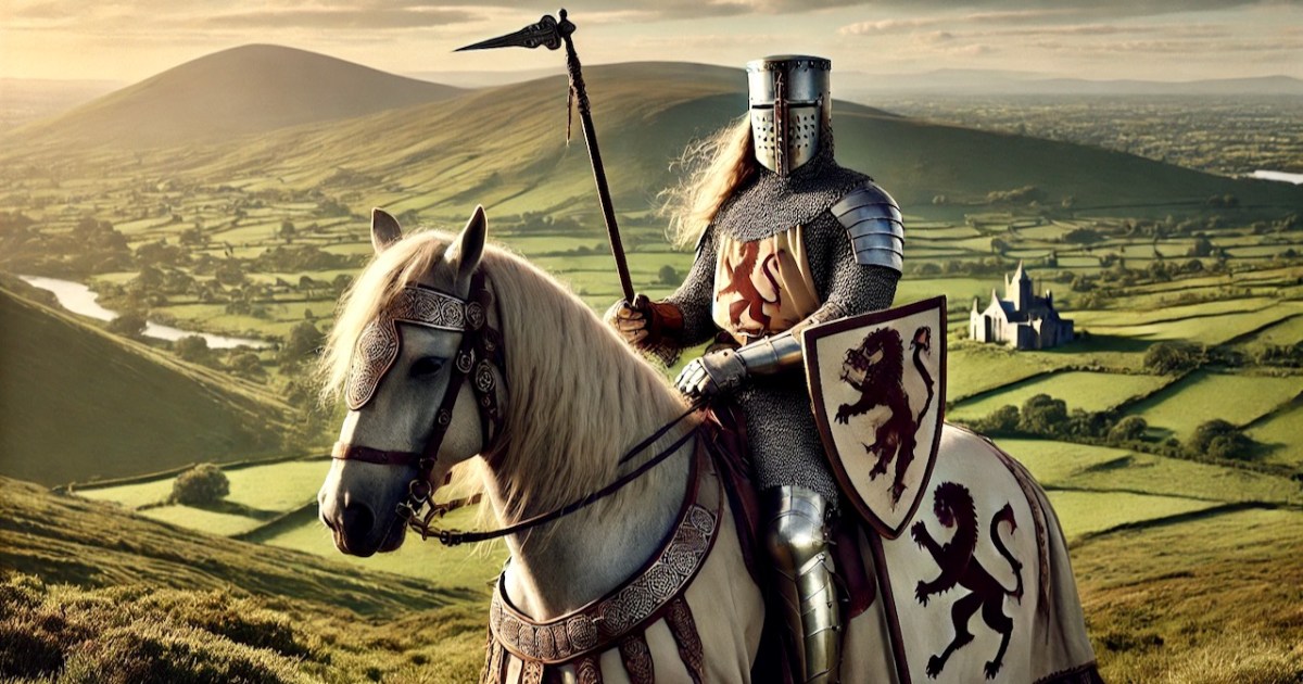
Last week we set out to figure why the Anglo-Normans are curiously absent from the archaeology of West Cork. I told you about our exploration of Castleventry, and how Con Manning immediately suspected this was not your average ringfort, and of course, eventually proclaimed it to be an Anglo-Norman ringwork. I am leading again with an AI-generated image – I am having fun playing around with DALL·E but am under no illusions about its historical accuracy!

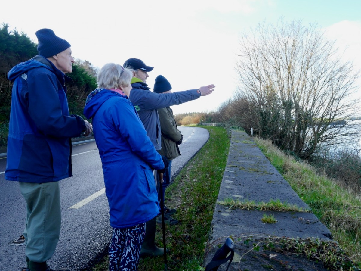
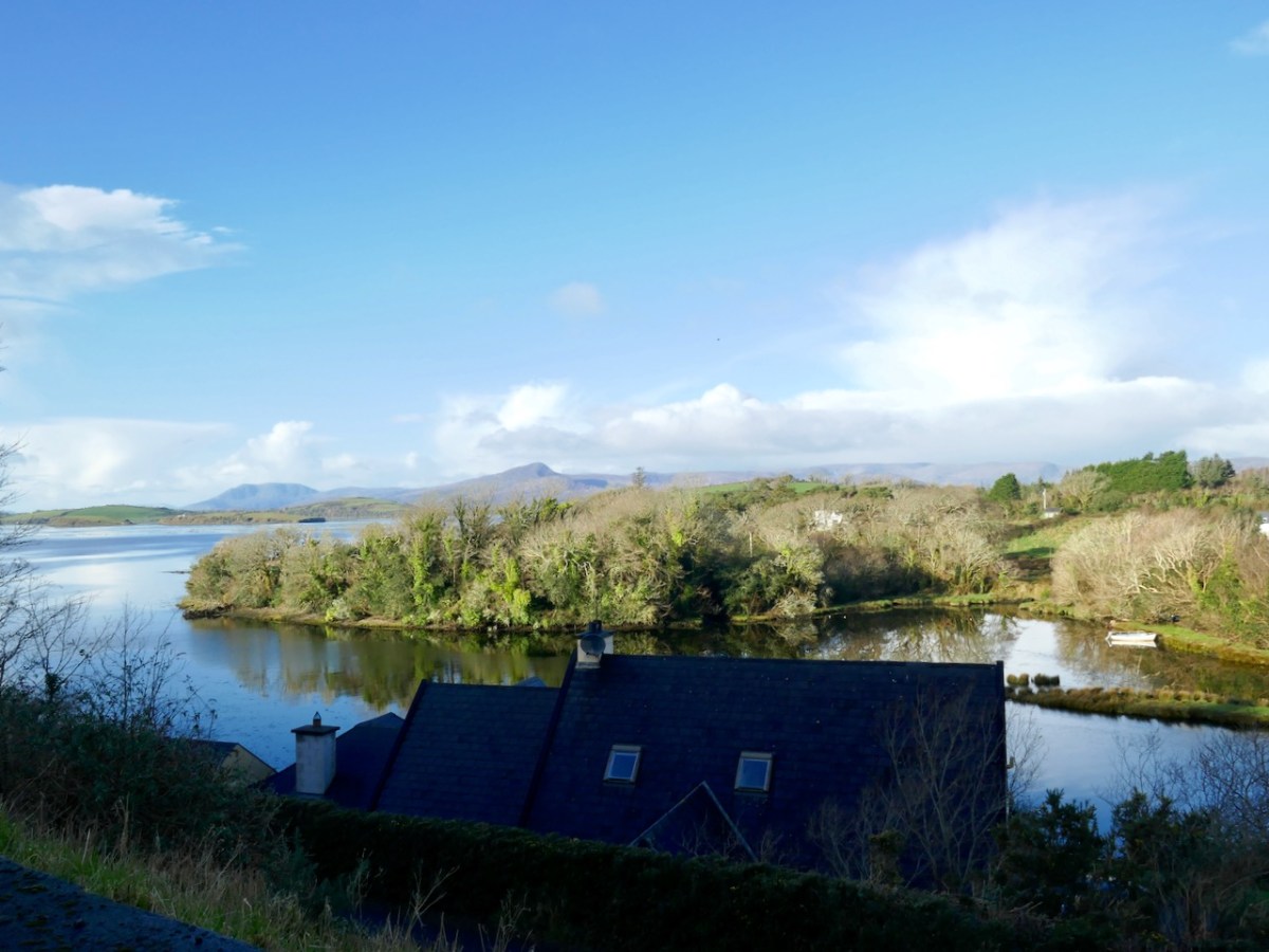
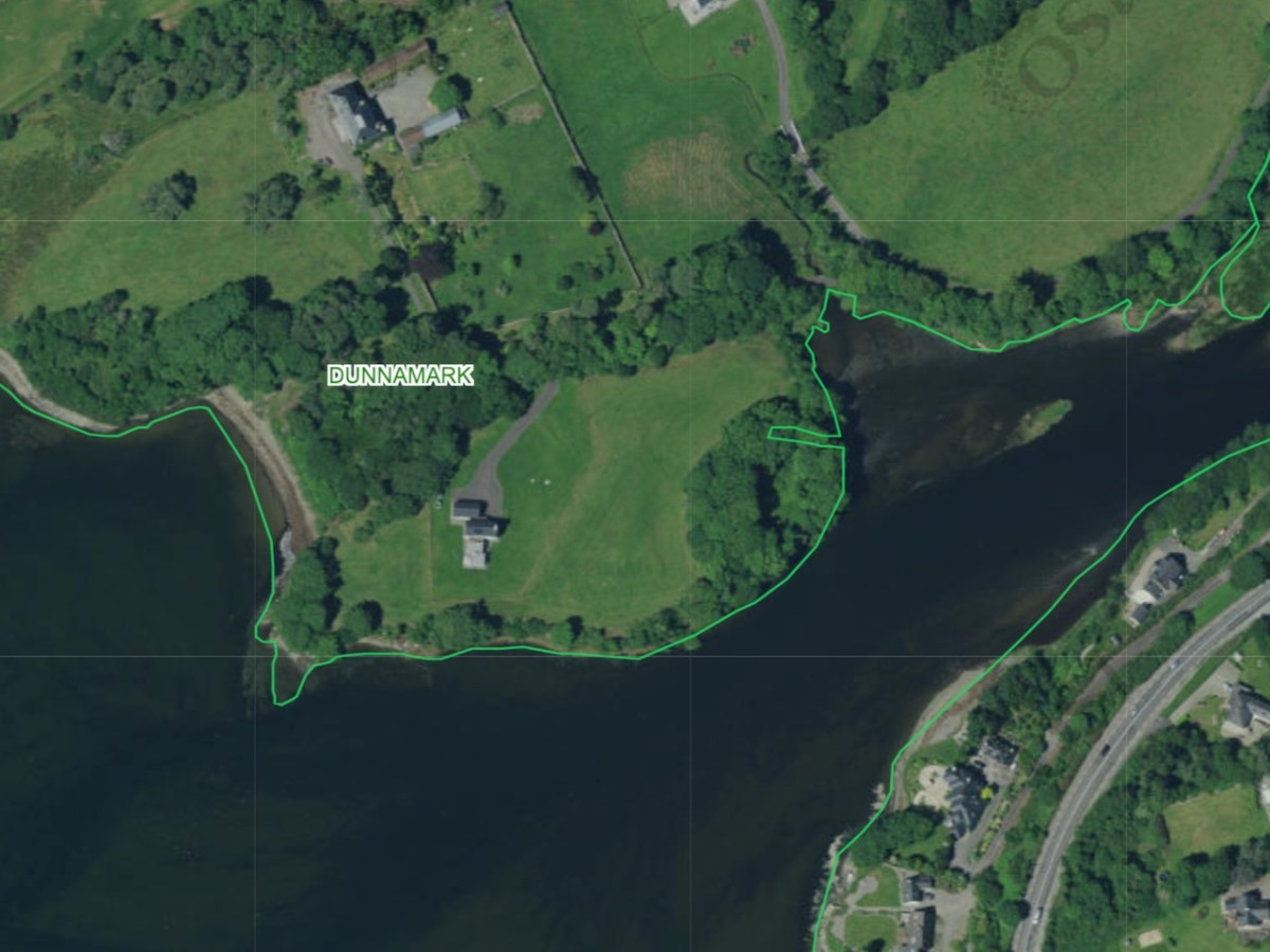
Our next site was courtesy of David Myler, author of the new Walking with Stones. He took us to see an intriguing site at Dunnamark, just outside Bantry. In his book, David also highlights the local convention that this is a Dane’s Fort – a common designation for all kinds of constructions around Ireland.

This was another of the sites identified by Dermot Twohig as an Anglo-Norman ringwork. In fact, Dermot said Dunamark is one of the best examples of a ring-work I have seen in either Britain or Ireland. Con concurred. In his book, David also highlights the local convention that this is a Dane’s Fort – a common designation for all kinds of constructions around Ireland.

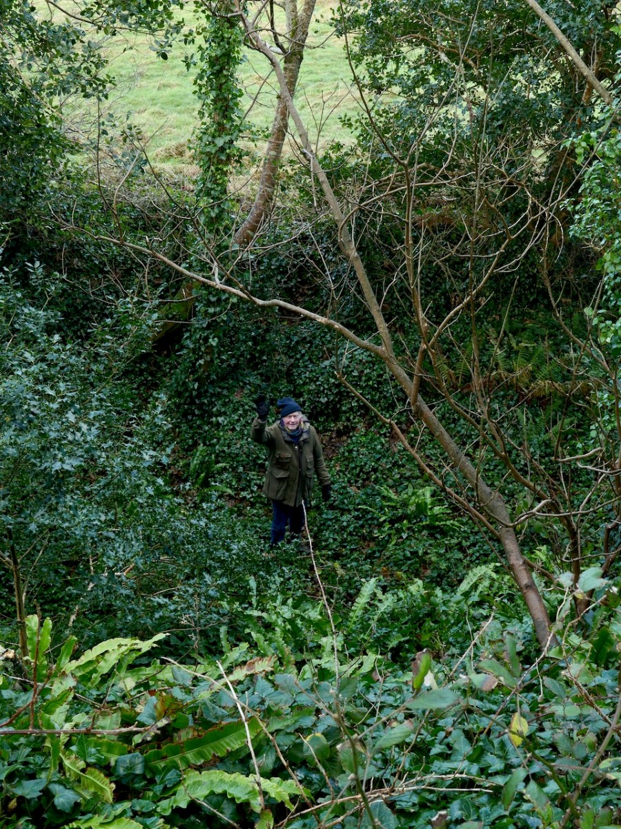
This is another massive fortification, with very deep ditches and a high ‘platform’ as the interior of the fort.

In the National Monuments record it is labelled a ‘cliff-edge fort and is described thus:

Description: In tillage, on cliff edge, on E shore Bantry Bay. Roughly D-shaped area enclosed by earthen bank S->NNE, with external fosse; slightly convex cliff edge NNE->S. Possible souterrain (CO118-004002-) in interior.

In his article in Archaeology Ireland, Con points out that 

Dunnamark was a particularly important castle, having been one of two demesne manors of the Carews in West Cork, and the caput of the cantred of of Foniertheragh.

He also says that a low-level bit of a masonry set into the central mound and parallel with the entrance causeway might be part of the counter balance slots of a drawbridge. Here’s what Con was looking at – it takes a medieval archaeology specialist to recognise such an unpromising set of stones.

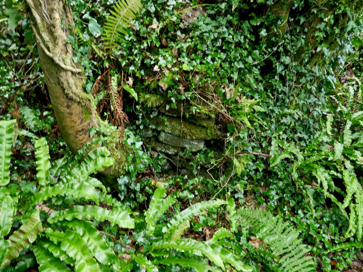
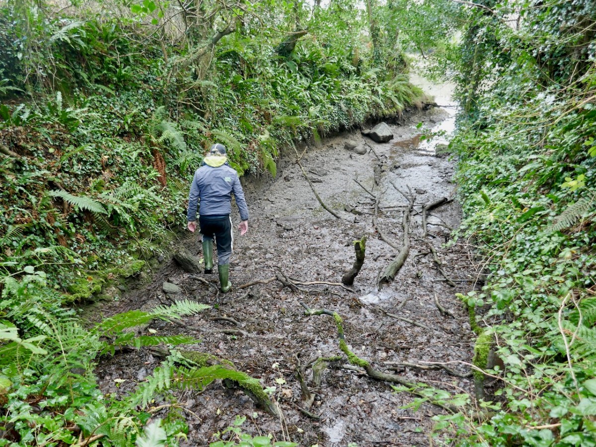
Another interesting feature of this site is the narrow channel riught beside the bank, which would have allowed small boats to come right up to the fort.

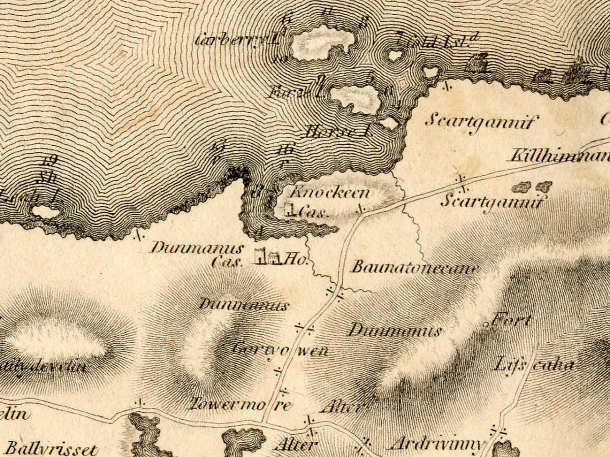
Our third site may be familiar with regular readers – it’s the site I described as the original Dunmanus Castle in my post Dunmanus Castle – the Cliff-Edge Fort. Go back and read that now and then come back here.

You will see that I was puzzled by it when I saw it and I was really pleased when Con confirmed on a subsequent visit that this could indeed be another Anglo-Norman ringwork. 

Interestingly, since I wrote that post I wrote about the Bath Map of Cork, which shows an actual castle – as complete as Dunmanus Castle, on the site!

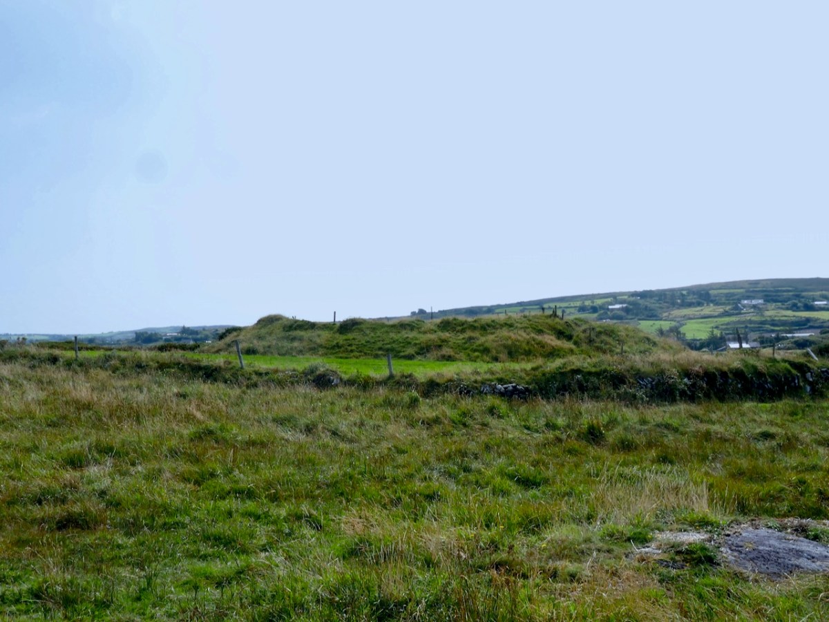
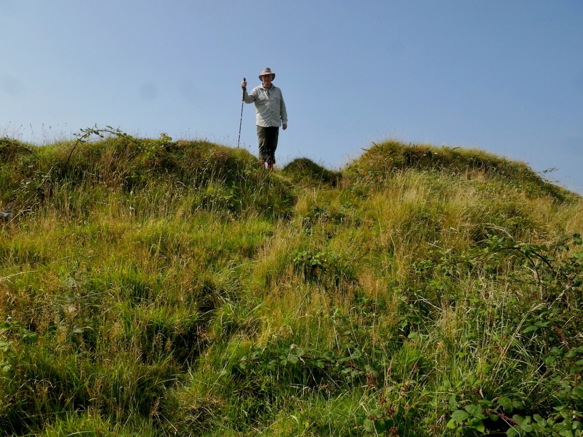
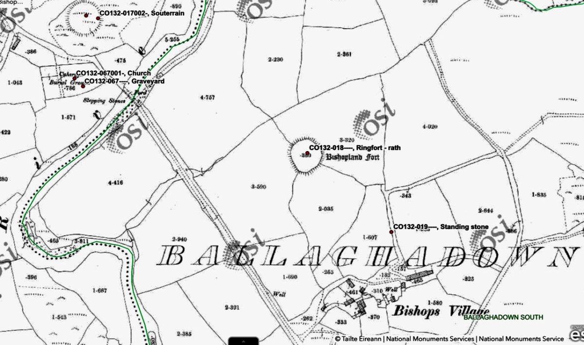
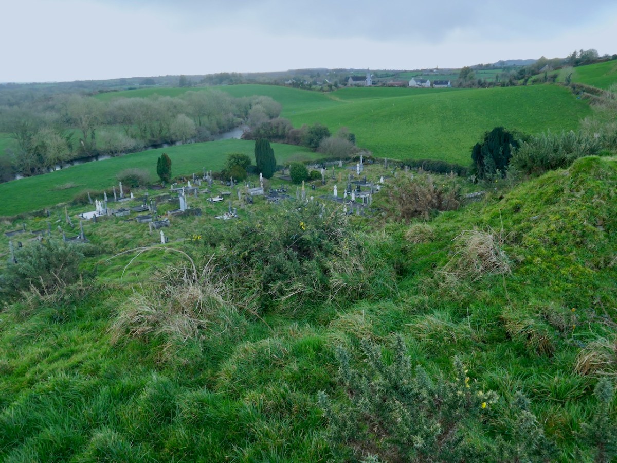
Our final site is at Caheragh, and this one is bit more speculative. A high knoll towers above the ruined church and its surrounding graveyard and on top of that hill is what has been labelled a ringfort. However, once again, it doesn’t quite feel right as a ringfort.

It has panoramic views across the surrounding countryside and sits on the middle of a medieval landscape that includes many ringforts, and an area known as Bishopsland, and the winding Ilen river. 

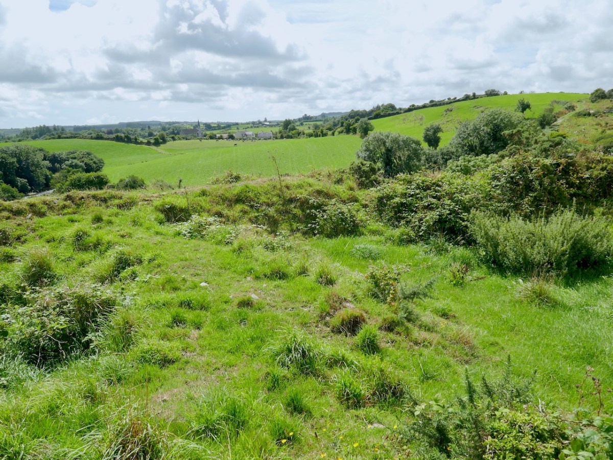
The fort on top has obvious remains of buildings, one of which may be what is left of a small tower.

The knoll, although natural, looks like a motte – why build one if you don’t have to? From the top you can see all the way over to Caheragh village.

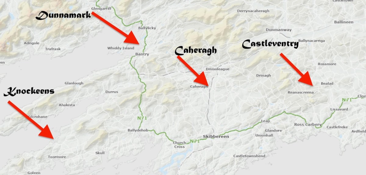
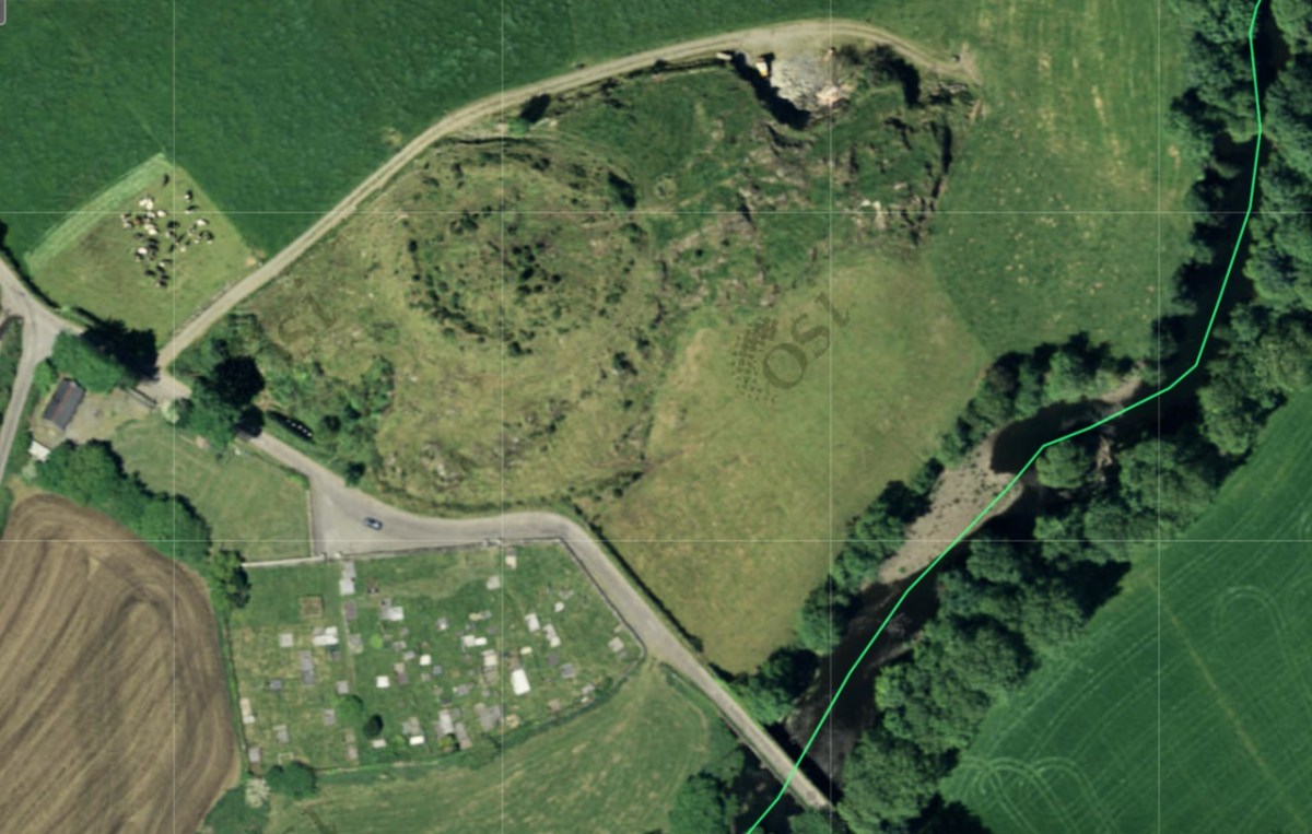
For me, the defining characteristics of these ringworks so far has been very much in accordance with what Grace Dennis-Toone laid out in her thesis – strong fortifications, situated strategically either with panoramic views or maritime location. But we know ringforts that are like that too. The extra factor for me is that they also seem like truncated mottes – raised platforms that fall short of the height needed for a motte, but still enough to dominate the landscape. Castleventry and Caheragh take advantage of natural elevations, while Knockeens and Dunnamark have constructed raised platforms within deep ditches. It may also have been that Knockeens was originally circular rather than D-shaped – see how much erosion has taken place there (below).

So – readers, do you have any other examples you suspect might fit the bill for an Anglo-Norman ringwork? It would help if it has some documentary evidence so get busy researching medieval manuscripts. No bother to you! I have already heard from one knowledgeable local, and hope to have another field soon trip in his area. We know they were here – between us, maybe we can re-write the text books for West Cork.

The Anglo-Normans in West Cork: Hiding in Plain Sight, Part 1

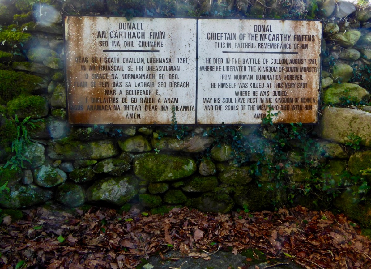
Here’s a nutshell of what I have always known about the Anglo-Normans in West Cork (cheesy and improbable image above courtesy of ChatGPT – DALL·E). After they landed in Ireland in 1169, it took them about 50 years to get to West Cork. Once here, they established some castles or fortifications and intermarried with the local families. This state of affairs lasted until 1261, when a combined army of Irish, led by Fineen McCarthy, defeated them at the Battle of Callan driving them out of West Cork and destroying all their castles. For more on the Battle of Callan, see the post Sliding into Kerry, from 2017, by Robert.

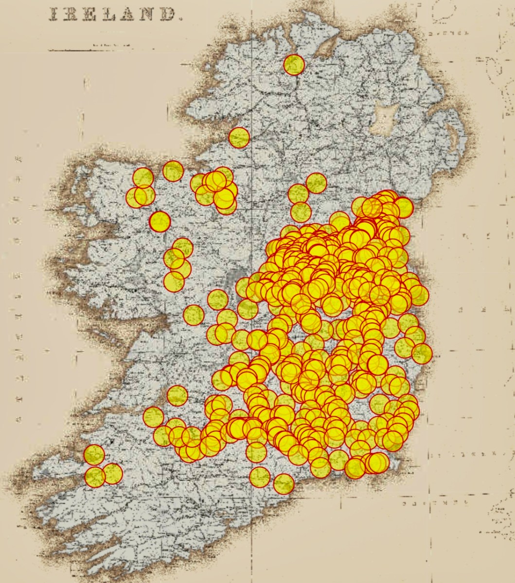
So is that why there is no trace to be found of the Anglo-Norman establishments in West Cork? In the rest of the country, at this early stage, they were mostly building motte and baileys, but there isn’t a single motte and bailey anywhere near West Cork – see the distribution map below, courtesy of National Monuments. And the masonry castles (or tower houses) we have were all built by the great Irish families. For a while I thought maybe Baltimore Castle was an Anglo-Norman building, but Eamonn Cotter has brought me up to speed on the excavation results and shown me it was much later.

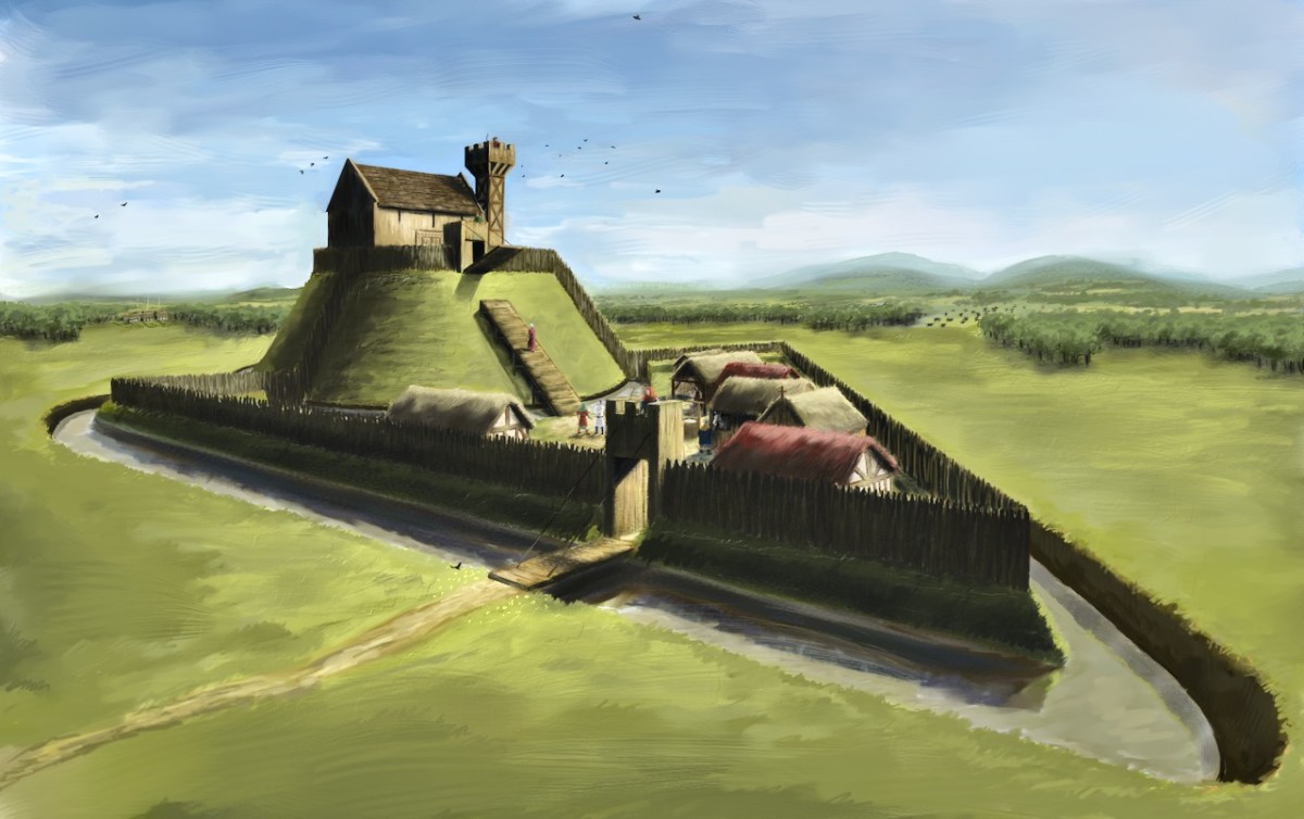
There is quite a bit of documentary evidence of their presence, though, including references to their ‘castles’ so it has always been a surprise that west Cork is not littered with mottes or ruined towers. Even given the tradition that they were all destroyed after the Battle of Callan, it is impossible to imagine that a motte could be obliterated from the landscape. They were substantial earthworks, as can be seen from the brilliant JG O’Donoghue‘s reconstruction drawing below.

It turns out we have been looking but not seeing – with some exceptions, archaeologists have not recognised Anglo-Norman structures when they saw them. The most notable exception was Dermot Twohig (a contemporary of mine at UCC in the early 70s) who, as early as 1978 described Norman ringworks in Cork. In the Bulletin of the Group for Irish Historical Settlement for 1978, buried within an annual conference report, Twohig reports:

Although I have not succeeded in inspecting, on the ground, all of the early Norman castles in Co. Cork, three of the sites I have examined – Dunamark (Dun na mBarc), Castleventry (Caislen na Gide) and Castlemore Barrett (Mourne/Ballynamona), can be classified as ring-work castles. Dunamark is one of the best examples of a ring-work I have seen in either Britain or Ireland. Castlemore Barrett had a hall-keep built within the ring-work c.1250, to which a tower-house was added in the fifteenth-century. Castleventry may have had a stone built gate-tower similar to the one at Castletobin, Co. Kilkenny. . . Further field-work and excavation will, I believe, demonstrate that the ring-work castles constituted a very significant element of fortification in the Norman conquest of Ireland.

I don’t know what happened, but Dermot’s analysis does not appear to have become part of what students were taught at UCC. Those students in turn became the mainstay of the Archaeological survey of the 1980s and they labelled Dunnamark (i’m using the OS spelling) a cliff-edge fort and Castleventry a ringfort. 

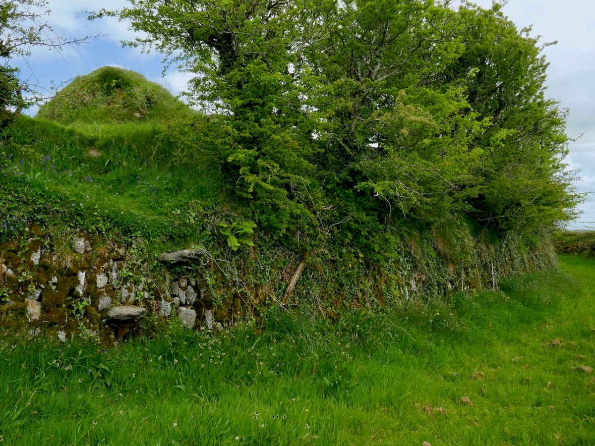
In fact, the very term ringwork (or ring-work, or ringwork castle) seems to have become an archaeological football, with some scholars asserting that we have no useful definition of its distinctive features and most of them are probably just ringforts, while others have championed the use of the term and tried to bring clarity to the debate.* in the heel of the hunt, it now seems likely that ringworks were indeed part of the system of land-claiming exercised by the Anglo-Normans, that they were usually larger and more solidly built than ringforts, and located strategically – near water or with commanding views. As you can see from the photograph below, the Castleventry banks are high, and were originally stone-faced.

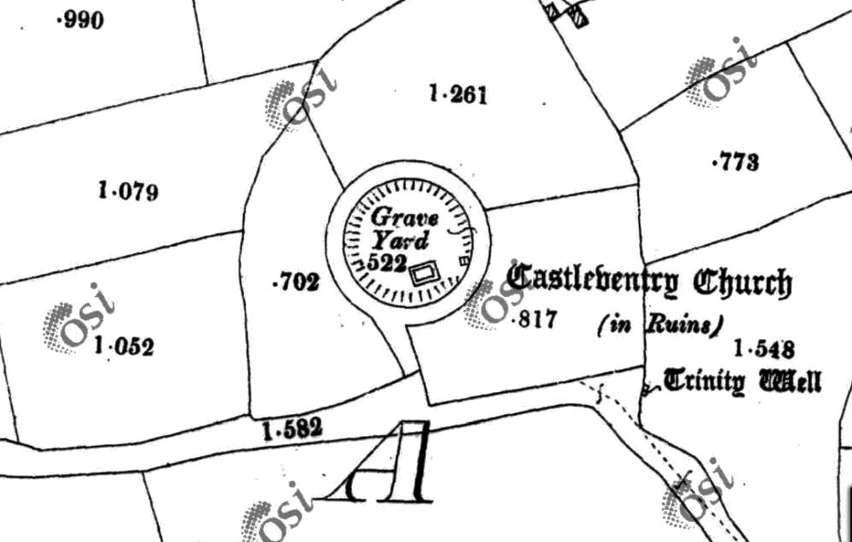
In the course of 2023 and early 2024 Robert and I visited four locations with Con Manning, retired archaeologist with the National Monument Service and a recognised authority on Irish medieval archaeology. Con has now written about the four sites in the latest issue of Archaeology Ireland, naming them as Angle-Norman ringworks. The first is Castleventry, to which we were brought by local historians Dan O’Leary and Sean O’Donovan, and I wrote about our visit to that that one here. So go back now and read what we found there and how intrigued Con was by what he saw. This was the site that set him off on his investigations. 

The description of this site in the National Monuments record is as follows:

In pasture, atop knoll on E-facing slope. Circular, slightly raised area (32.6m N-S; 34.5m E-W) enclosed by two earthen banks, stone faced in parts, with intervening fosse. Break in inner bank to W, now blocked up; modern steps to E. Outer bank broken to W (Wth 3.5m), blocked up; S gap leads to laneway; modern break to NNW. Church (CO134-025004-), graveyard (CO134-025003-) and souterrain (CO134-025002-) in interior; second souterrain (CO134-089—) beside outer bank to E.

Recognising that not all readers have access to Archaeology Ireland, and with Con’s permission, I will tell you that he notes that after the Battle of Callan 

in that same year many of the castles of the colonists for burnt or destroyed. Two were mentioned in a single entry in the Annals of Inisfallen as follows: “the castle of Dún na mBarc, and Caislén na Gide also, were burned by Mac Carthaig and by the Desmumu.”. Caislén na Gide has been identified as Caisleán na Gaoithe or Castleventry. . . No likely site for this clearly important castle has to date been identified on the ground. 

After more information on the history of the site and its association with the Barrett and the Barry families, Con concludes, I have no doubt but that this monument is the castle of Castleventry, a substantial and impressive ringwork reusing an older ringfort.

Next week I will write about the other three sites (spoiler alert – one of them will be familiar to regular readers already) and come to conclusions about the evidence we’ve been missing for the presence of the Anglo-Normans in West Cork.

* I applaud particularly the work of Grace Dennis-Toone, Her thesis brings considerable rigour and analysis to the topic. When is a ringwork a ringwork? Identifying the ringwork castles of County Wexford with a view to reconsidering Irish ringwork classification.

Ceannlínte ó Baile Bhuirne! (Headlines from Ballyvourney!)

It was a big day in Ballvourney yesterday: the public unveiling of two replicas of the 800 year old wooden figure that has been central to observances of St Gobnait on her day for as long as anyone can remember – we must be talking centuries! If you are not familiar with St Gobnait – or her celebrations – read my post here.

It’s actually St Gobnait’s Day today: the eleventh of February. As I write this, the congregation in the saint’s church will be venerating the 13th century wooden figure by ‘measuring’ her with ribbons. But also, for the first time, they will be able to view the two copies of that figure which have been made over the last few months. That exercise has been undertaken so that the figure itself could be fully studied because it is of great historical interest. There are other medieval carved wooden figures of saints surviving elsewhere in Ireland, but this is the only one that is still in regular active use.

. . . A medieval wooden image of Gobnait, kept traditionally in a drawer in the church during the year, is venerated in the parish church on this day. The devotion is known as the tomhas Gobnatan . People bring a ribbon with them and ‘measure’ the statue from top to bottom and around its circumference. This ribbon is then brought home and is used when people get sick or for some special blessing. The statue is thought to belong to the 13th c. A second pattern in honour of Gobnait was traditionally celebrated in Baile Bhúirne at Whit . . .

The above citation is taken from The Diocese of Kerry website, which sets out a comprehensive review of the saint and the activities which honour her. Here’s the measuring taking place a few years ago:

National Heritage Week 2023 explains the purpose of the project to replicate the carving:

. . . As patron saint of the parish, the statue provides a tangible link to the saint but importantly represents the long-standing living devotion to Gobnait. The wooden figure carved out of oak clearly depicts a female monastic. It was guarded over the centuries by the O’Herlihy clan, who were the ruling Gaelic lords of the Ballyvourney area during the medieval and late-medieval periods. It remained in the safe-keeping of members of the O’Herlihy family until they handed it over to the local parish priest in the late-19th century and it has been protected and kept secure by the Ballyvourney Church Committee ever since. The 3D project will comprise the digital scanning of the statue which in turn will enable a 3D generated wooden print out. A second replica will be hand carved as an integrative representation of how the statue would have looked originally before the centuries aged and tarnished it. The replicas will then be placed permanently on display in the Parish Church with information signage . . .

St Gobnait in 3D

Above is a view of the original carving (in the centre) with the replica of that on the right. On the left is the ‘integrative representation’ – that is the carver’s interpretation of what the figure might have looked like when she first saw the light of day in the 1300s. On the left is Bishop William Crean – Bishop of Cloyne since 2013: he presided over the unveiling of the two replicas yesterday. On the right is John Hayes, of Special Branch Carvers in Fenor, Co Waterford. He was responsible for the carving project and has made an excellent job!

John gave us a presentation yesterday, after the unveiling ceremony, and we learned how he closely examined the original statue, taking detailed measurements and a full photographic survey. This enabled a Sketchfab 3D rendering to be produced: this became the basis for his work. During the examination he was able to find traces of paint, which enabled him to render the interpretative version with – very likely – a high degree of fidelity to the original.

I got the chance to talk to John and ask him about the timbers used for the original and the replicas. The original is of oak, and we don’t have a way of knowing where this came from. The replicas are of ash: this is a good material for stability and longevity. John had access to a good source of seasoned wood.

The day was a study day for St Gobnait, and encompassed a whole lot more than the unveiling of the replicas (they are waiting under the cloth- above – to be revealed)! Note the currach in the pic also: that’s another project – to establish a Camino tracing the route which Gobnait took as she travelled around Ireland from the Co Galway Aran Island of Inisheer, having been told by an angel that her life would be fulfilled when she saw nine white deer. She spent time in Dun Chaoin and Kilgobinet in Kerry, Ballyagran in Limerick, Kilgobinet in Waterford, and Abbeyswell and Clondrohid in Cork, before finally finding the deer in Ballyvourney. You can see those deer on the stern of the currach, above. There are at least eight holy wells in Ireland dedicated to the saint. Amanda has written extensively about Gobnait’s travels and – of course – about her wells.

There was also an excellent series of talks about Gobnait. Events took place in Ionad Cultúrtha an Dochtúir Ó Loinsigh, which is a great facility in the community. Here we are – together with our good friends Peter and Amanda (you have met them frequently on the pages of this Journal), - waiting for proceedings to begin:

This is the moment of unveiling: the Bishop is accompanied by the Parish Priest – Very Reverend John McCarthy SP – and archaeologist Dr Connie Kelleher, National Monuments Service: she has played a significant role in this Ballyvourney project.

The decoration on the hull of the Camino Currach is based on the depiction of Saint Gobnait in the Harry Clarke window from the Honan Chapel, UCC. The bee image on the right reminds us that Gobnait is the patron saint of bees and beekepers. We enjoyed a comprehensive talk on bees by Peadar Ó Riada – who has first hand experience of the subject:

There were many more dimensions to the day. One of my favourites was when the audience was requested to produce anyone named Gobnait to be photographed with the carved figures. That included the variations of the name: Library Ireland (1923) (Rev Patrick Woulfe) gives these as Gobinet, Gobnet, Gubby, Abigail, Abbey, Abbie, Abina, Deborah, Debbie, and Webbie. Ten candidates stood up to be counted:

Thank you to Finola for providing many of these photos