Rock Art 3D

There’s a concentration of prehistoric rock art around Castletownshend and I am currently writing a paper about that for the next issue of the Journal of the Skibbereen and District Historical Society. There are seven individual pieces of rock art: as part of the research I recently visited the one stone I hadn’t seen yet. Fortunately, we had the company and assistance of Conor Buckley of Gormú Adventures (been on one of his marvellous walks yet? If not, try this one, or this one or this one.) who, as a native of the area, knows everyone and introduced us to the landowner, the genial Bill O’Driscoll.

The townland is Farrandeligeen – isn’t that a wonderful name? A dealg is a spine or thorn or prickle, and therefore a deilgín is a small one of those. So it can be translated as the Land of the Thorns, which can be blackberries or blackthorns – and this being West Cork, probably both. An old saying is Is beag an dealga dhéanfadh braon – the tiniest thorn can cause big problems. Thorn in a hiking boot, anyone?

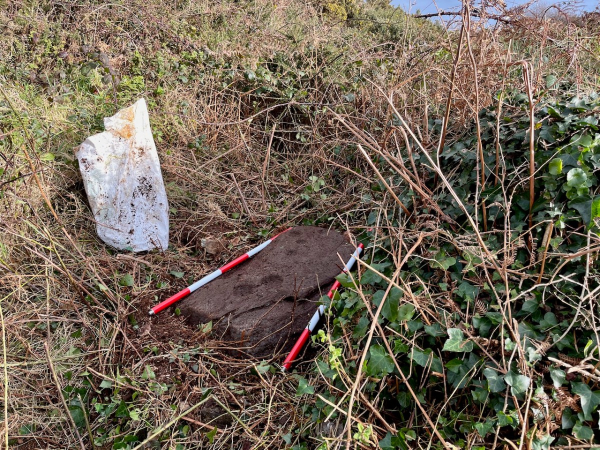
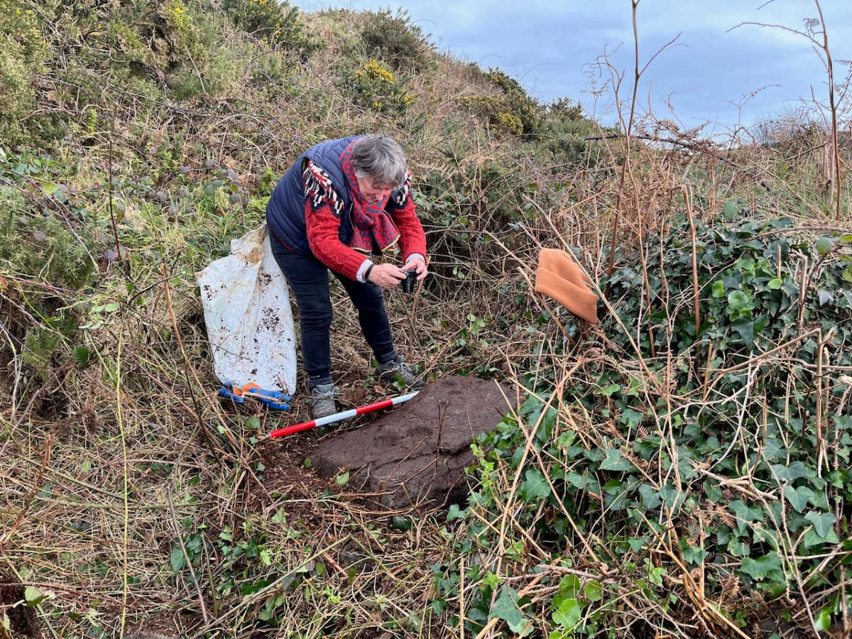
The land lived up to its name. Bill took us to where he knew the rock art was, and that’s when we encountered the deligeen bit. Fortunately he had a stout fork with him, and took to hacking and bashing his way through the thorns, while we stood back and offered encouragement. The first place proved unfruitful and he moved a few metres away and soon struck gold. Among the brambles, earth, gorse and general undergrowth there was a hint of something white. This turned out to be a bag filled with stones – the very bag he had put there to remind him that this is where the rock art was – but so many years ago that it had slipped his mind until now.

And so the stone gradually came into view until I could finally get down to clearing it off with my gloves. (I was sorry I hadn’t brought the red socks.) This stone is already in the National Monuments Records as a ‘Cupmarked Stone’ (CO151-013) and is described as having ‘at least ten cupmarks’. Bill told us that his father had said he remembered the stone standing upright – it had fallen to its present position flat on the ground since his father’s time.

For more on what a cupmarked stone is, and how it fits in to the general category of ‘Rock Art’, see my post The Complex Cupmark. For now, quoting from that post:

The cupmark is the most basic and numerous element or motif of rock art in Ireland and elsewhere. In the examples labelled rock art in County Cork, they occur with other motifs, principally concentric rings, sometimes with radial grooves, and a variety of curved or straight lines. They can be incorporated within a motif (as in cup-and-ring marks, rosettes, or where enclosed by lines) or they may be scattered, seemingly randomly, over the surface of the rock, between and among the other motifs. 

. . . patterns of straight lines, or of rough circles or semi-circles, can be made out in several of the stones we have recorded to date.

Rock art is widespread across the Atlantic coast of Europe and is believed to date from the Neolithic, about 5,000 years ago. The cupmark as a motif, however, continued well into the Bronze Age, since we find it on wedge tombs and boulder burials. We do not know what the significance of the cupmark is, but it must have held a special meaning to the carvers since it persisted over time and space.

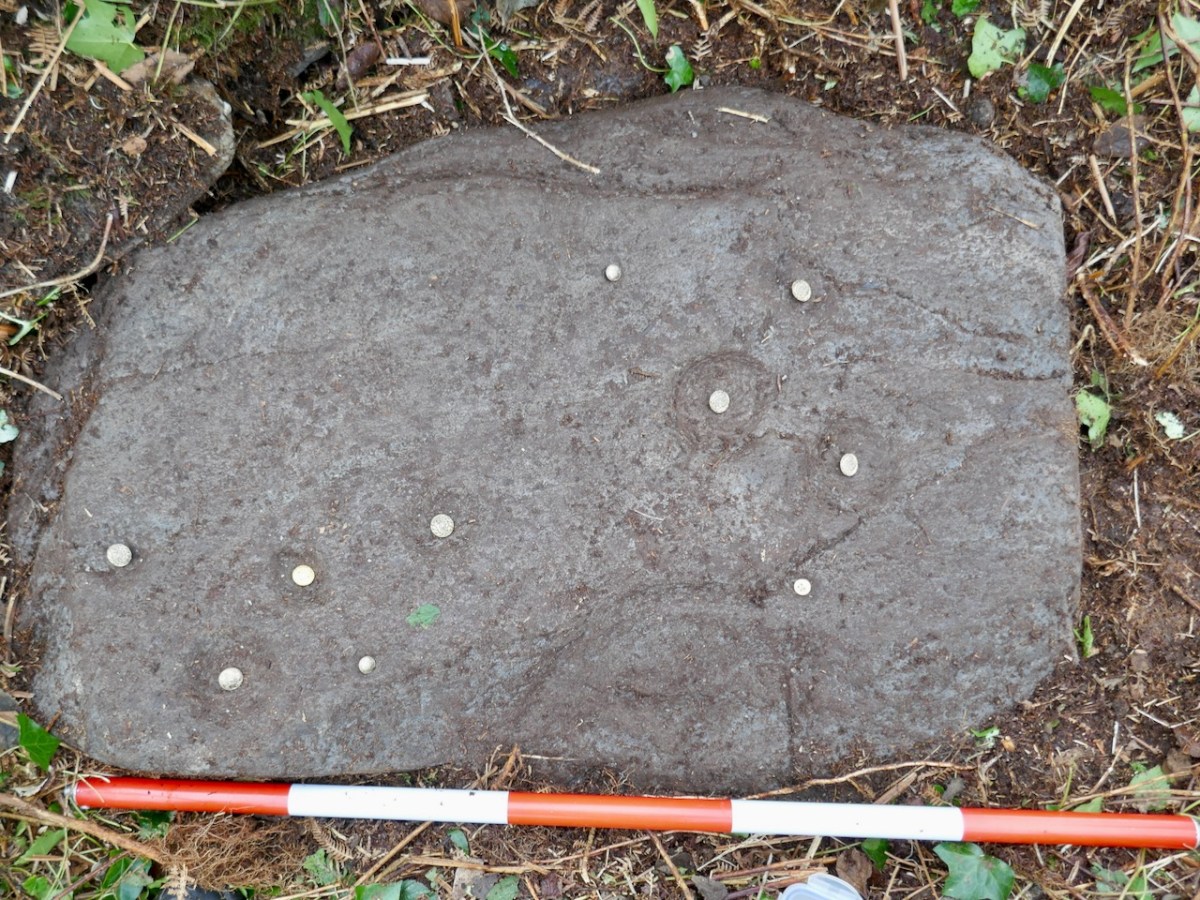
We got the rock cleared enough to identify the cupmarks and I put a button in each one to make sure it showed up – sorry, those are not gold coins. Some of the cupmarks are tiny. You can look at the cupmarks as a random scatter, or as in the quote above, you can see two groups, in which a cupmark is surrounded by a semicircle of four others. 

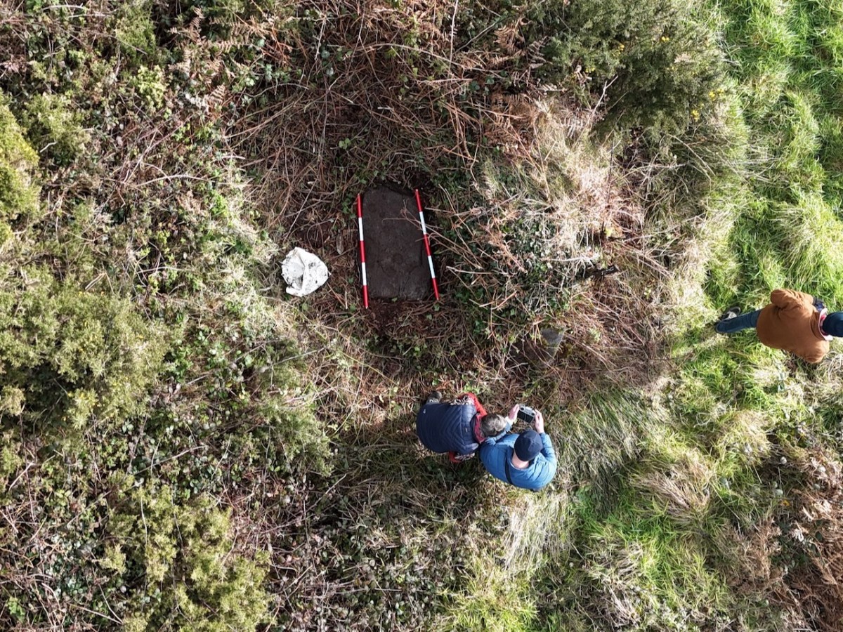
It was hard to get the rock clean enough to see detail so I decided to carry out a photogrammetric survey, the object of which is to end up with a 3D image from 2D photographs. That involves taking LOTS of photos (in this case, 100) of the stone, working my way systematically across the surface of the stone at three different levels, keeping the camera settings consistent.

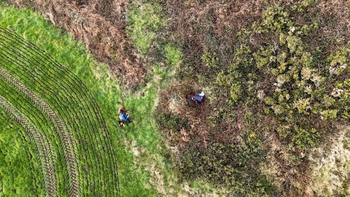
Conor had his drone with him – a new experience for us! He took photos and videos of the stone in its general location, capturing me doing the photogrammetry and also a good indication of the amount of undergrowth that had to be cleared out of the way before the rock came into view. (Thank you, Bill!)

I sent the photographs off to UCC, to the Department of Archaeology, where Nick Hogan generously processed them for me, using the Department’s specialised software. The results are fascinating!

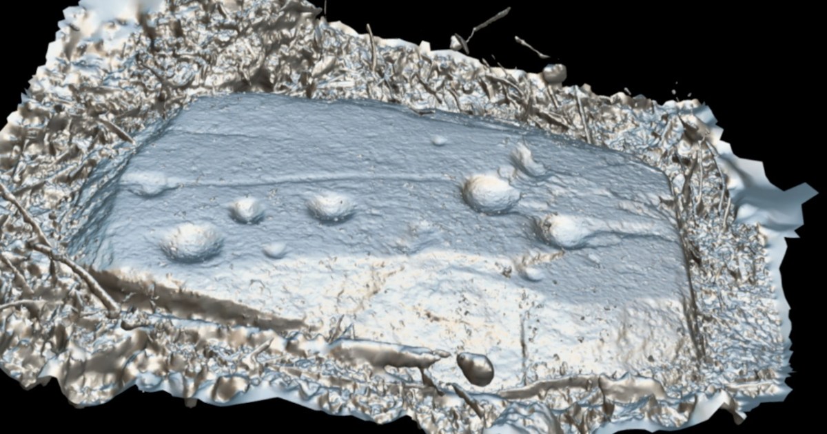
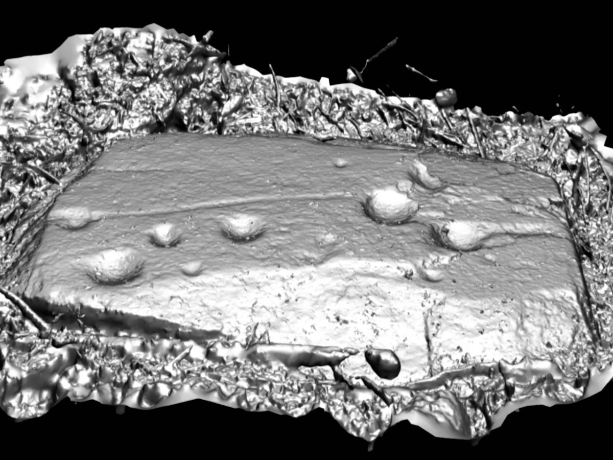
First of all, it looks like there are more than just cupmarks on this rock. A long line stretches from the far left (in this image) cupmark to the right hand grouping. There is a hint of a circle around the bottom left cupmark. The three large cupmarks in the right grouping appear to be conjoined, and there is a line from from the far right cupmark to the end of the stone.

You can view the render in what is called Matcap, which creates it in a metallic view (above and below). On a grey day with no shadows, and still lots of mud on the stone, none of this was obvious to the naked eye. There is a possibility that these new elements, rather than being carved, are natural contours in the rock itself. We haven’t had time yet to go back and check this out more carefully, but we will have to do so – and update this post! If indeed the lines turn out to be carved, that fact will elevate the rock from a Cupmarked Stone to Rock Art. Watch this space.

If you’d like to see the 3D render for yourself and have fun turning it this way and that, you can click here. Let me know if you spot anything else! It was good to be out in the field again after a long winter of cold wet weather. It was great to have Conor and his drone along and to meet Bill, who is committed to keeping safe this precious part of our heritage.

Rock Art and Winter Light at Derrynablaha

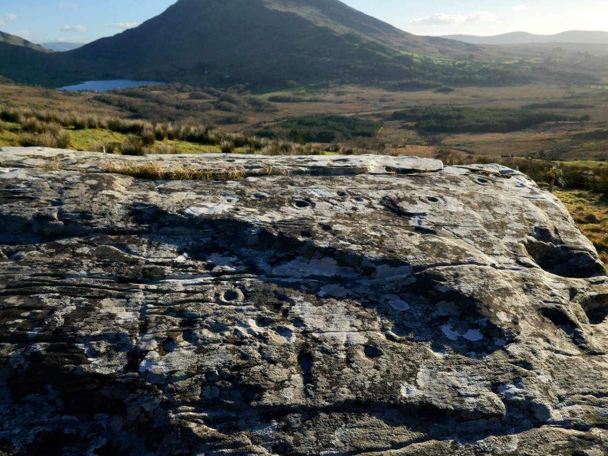
Rock art can be astounding or underwhelming. What makes it one or the other is light.

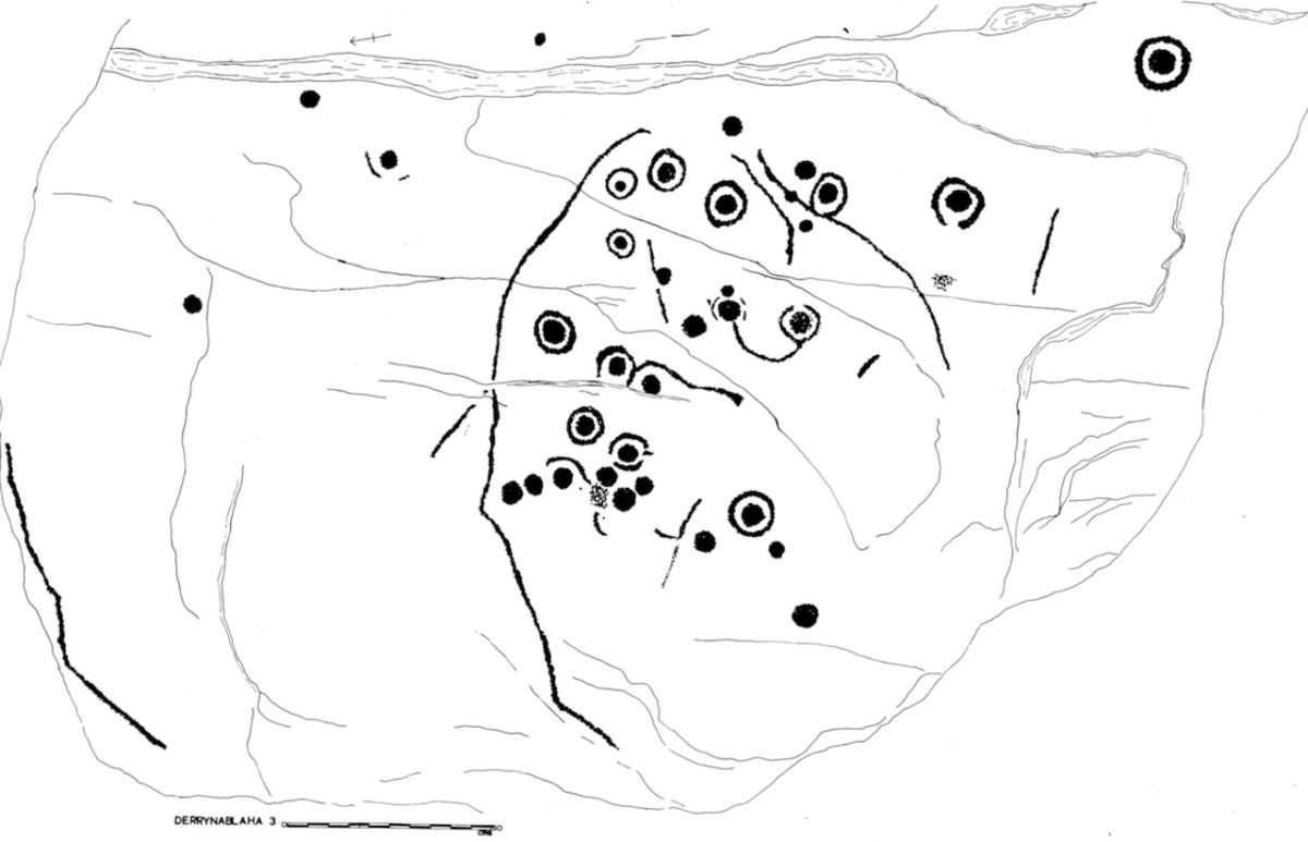
This is the rock I labelled Derrynablaha 3. My 1973 drawing of it is below. From it, there’s a clear view across to Lough Brin to the east, and all the way down the Kealduff River.

Irish prehistoric rock art likely dates from the Neolithic, about 5,000 years ago. We’ve written extensively about rock art (and indeed about Derrynablaha) – see all our posts on this special menu page. There are significant concentrations in Kerry, including 49 pieces identified so far in the adjoining townlands of Derrynablaha and Derreeny, in the middle of the Iveragh Peninsula. To get there, turn north from the Blackwater Bridge and head for the Ballaghbeama Gap.

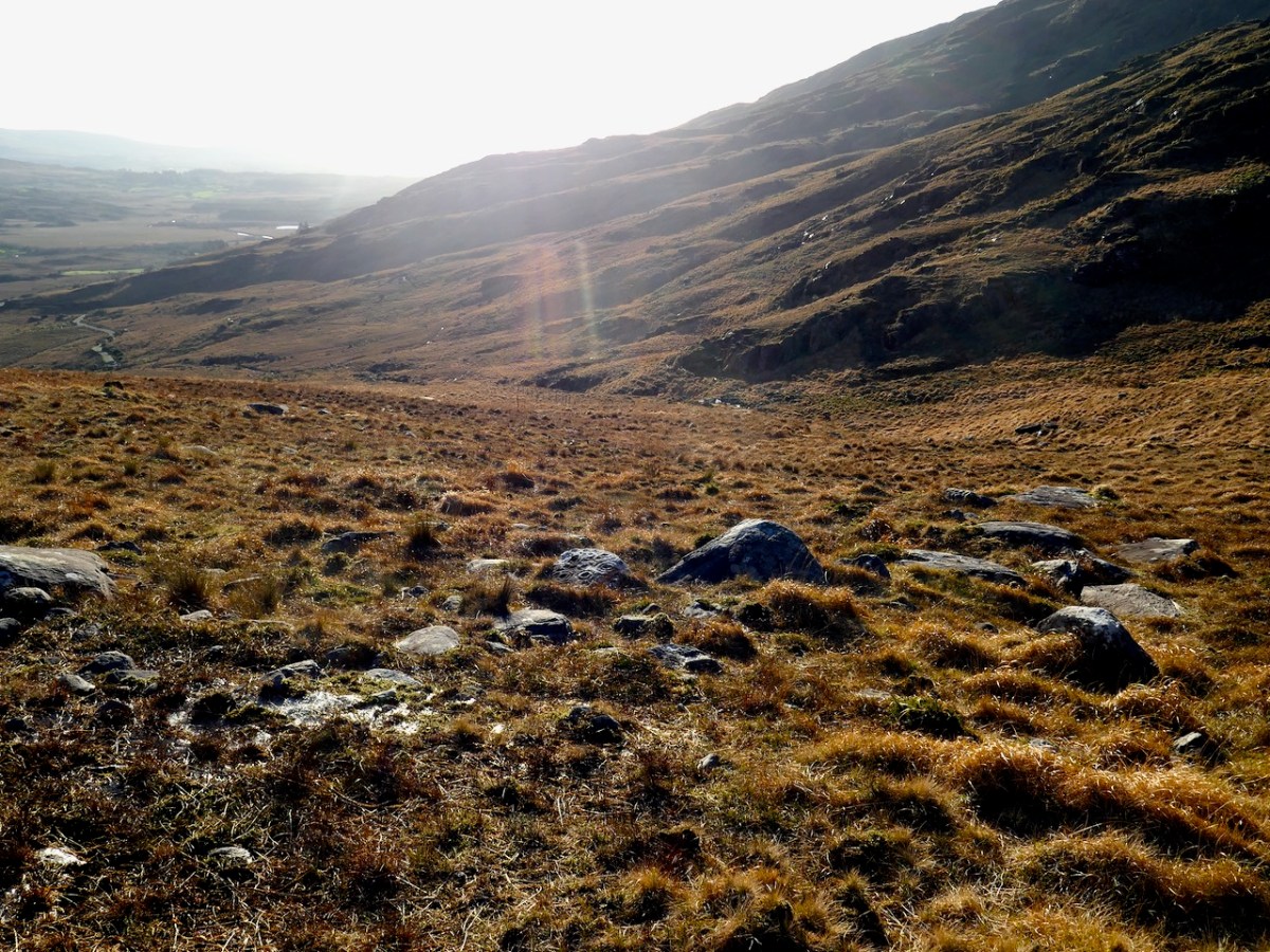
If you go on a grey day with no shadows (all too common in our part of the world), or even when the sun is high in the heavens, you might see nothing at all. You might walk right by a piece of rock art without realising it was there. We visited Derrynablaha this week and were very lucky to hit it just right.

By ‘just right’ I mean that we had a sunny day, not a cloud to be seen, and because it’s winter and we got there earlyish in the morning the sun was low in the sky. That kind of low, raking light creates the best possible natural conditions for viewing rock art, as demonstrated in this post – Aoibheann Lambe’s excellent capture shows how to do it. There are other ways to do it, of course – you can use strategically placed coordinated flashes – something Ken Williams is rightly famous for. You can go at night with strong lights, or you can use photogrammetry to produce a 3D image. But for a truly immersive experience, seeing it on a day like we had is an experience that is hard to beat.

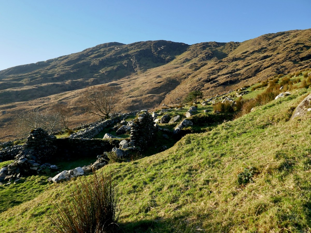
I spent time recording all the known Derrynablaha rock art when I was doing my thesis in archaeology at UCC in 1972. The carvings had been discovered by the landowner, Daniel O’Sullivan, who wrote to the Department of Archaeology in 1962. His brother, John, still lived on the farm when I was doing my fieldwork, in the farmhouse that is now a ruin (above) but which still holds happy memories for me. The remains of a more ancient settlement are also clearly visible (below).

They were visited by the Italian archaeologist Emmanuel Anati the following year, 1963, at Prof O’Kelly’s suggestion and it was Anati who first wrote about this site. Anati, by the way, went on to found a centre for rock art research at Val Camonica in Italy, and as far as I can tell is still alive and active, in his 90s. He recorded 15 panels.

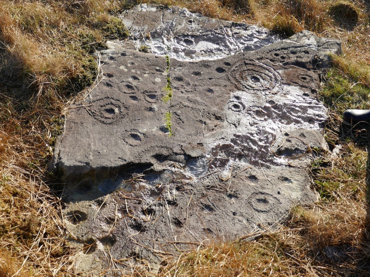
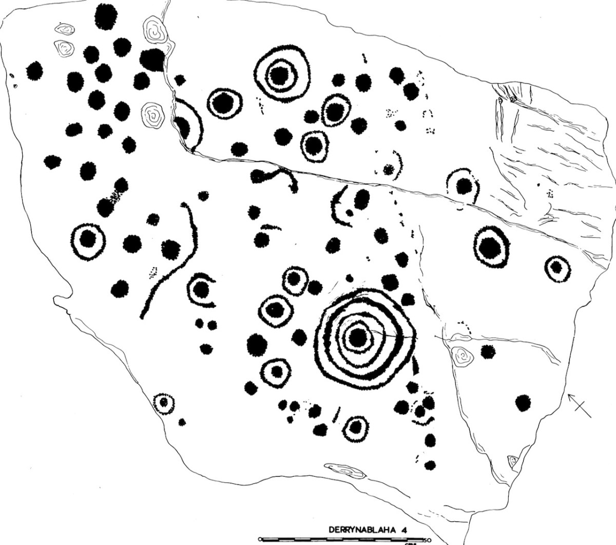
This is my Derrynablaha 4

Subsequent expeditions from UCC, and my own explorations, resulted in a grand total of 23 examples being included in my thesis. By the time of the Kerry Archaeological survey in the 1980s there were 26 pieces identified, and more have been found since then – there are now 29 known panels of rock art in Derrynablaha and a further 20 in Derreeny.

A detail from Derrynablaha 4 clearly showing individual pick marks. The decoration was picked on using stone-on-stone percussion. You can also see how ice can settle on the surface and over time cause cracking damage. My drawing of this stone is below

They are very hard to find unless you know exactly where to go, and I was very lucky indeed to have the expert guidance of Google. Yes – there is a Google Map devoted to Irish rock art! It’s the brainchild of Caimin O’Brien of the National Monuments Service and with it on your phone it’s possible to tramp over the hillsides and locate each piece. We are supremely grateful to Caimin for the work he has done on this, and we only wish all National Monuments could get the same treatment!

Even with this amazing resource, this is not an easy field trip. The ground is steep, rough and wet, and there are barbed wire fences to find a way around. It’s an active sheep pasture, so it’s important to be mindful that you are on private property and be respectful of all farm boundaries. 

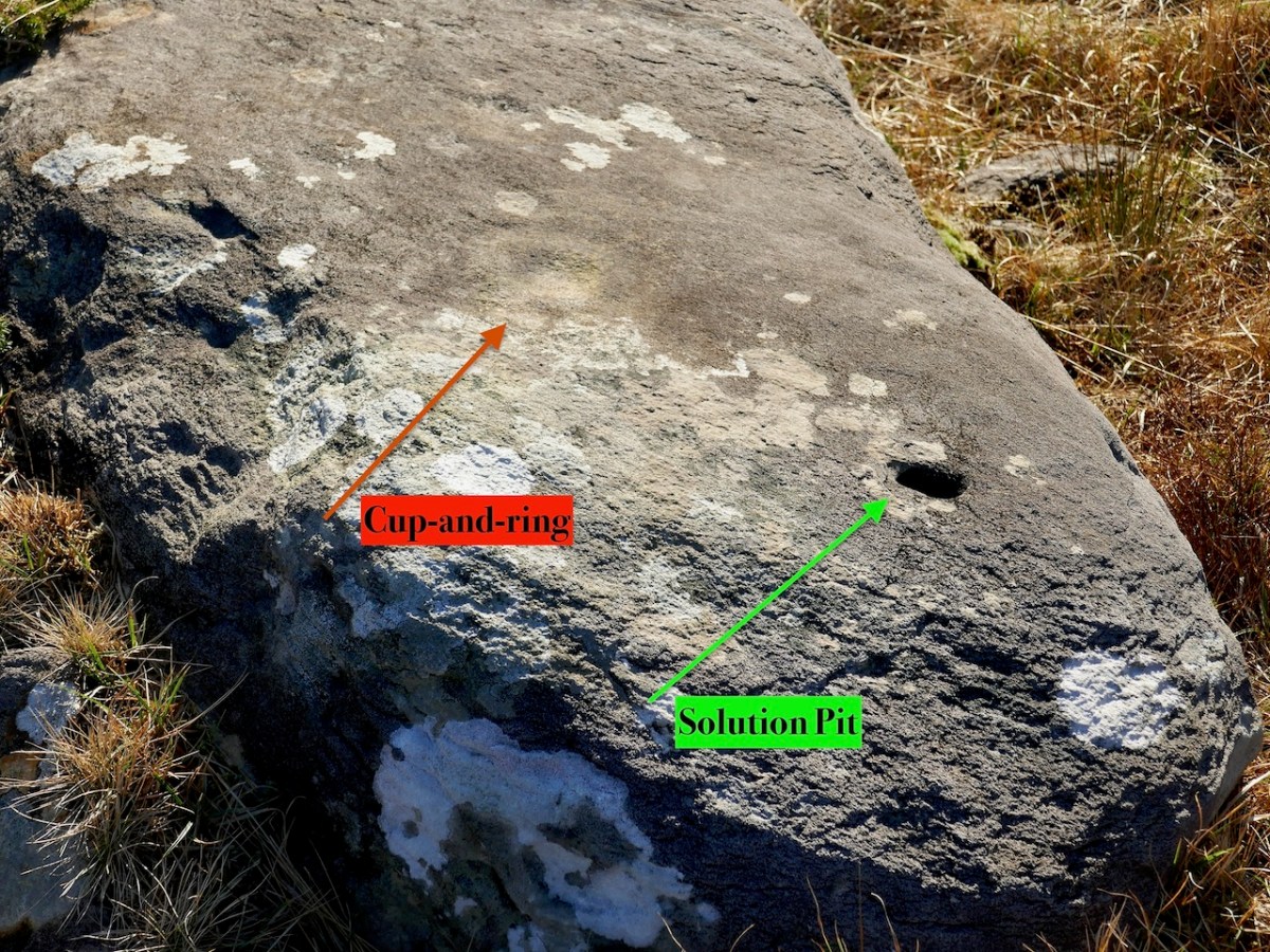
This is a good example of rock art that could be easily overlooked. A very faint cup-and-ring can be seen in good light conditions. The obvious hole, however, is not a cupmark but a naturally occurring solution pit

Because we only had half a day, we confined our walk to the area around the old farmhouse and the hillside to the west of it, and managed to visit 8 panels. Even in the perfect lighting conditions we had, not all are easy to see, as they have been exposed for thousands of years and have worn away. But, for the most part, once we had found the rock, we could see the carvings clearly. 

All the panels we viewed had cupmarks and cup-and-ring marks, as well as some pecked lines meandering across the surface. We don’t know what the significance of these motifs are, although theories abound. There are other motifs at Derrynablaha too, all falling within the repertoire of classic rock art. 

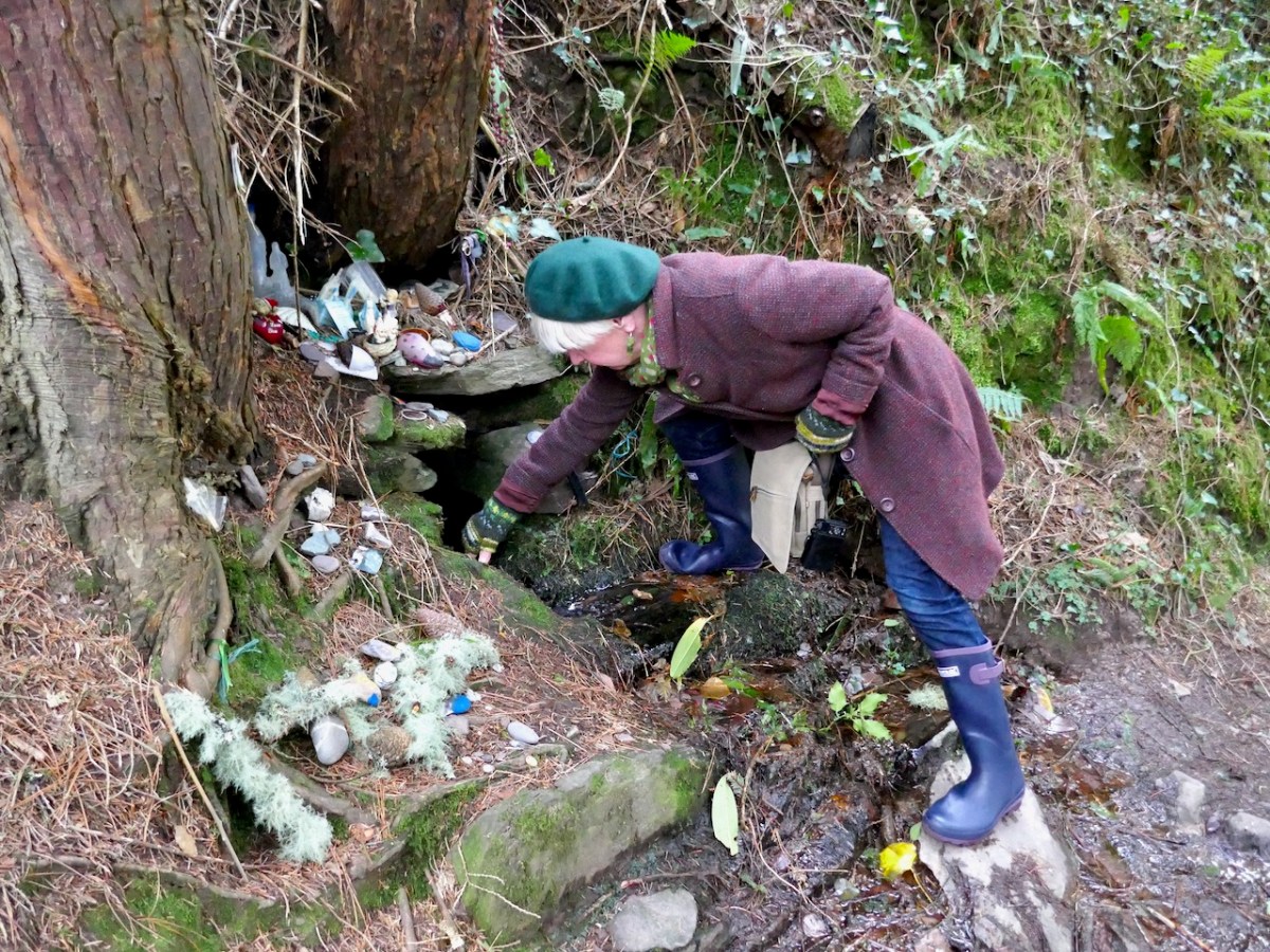
Our companions on this day, as on so many of our adventures, were Amanda and Peter of Holy Wells of Cork and Kerry. And of course several holy wells were on the agenda too, including this one near Kenmare. Take a look at Amanda’s brief write up on her Facebook page, or keep an eye on her excellent blog for more about our finds on this trip.

We’ve written about Derrynablaha so many times now – why do I know this won’t be the last time?

Back to Borlin Valley

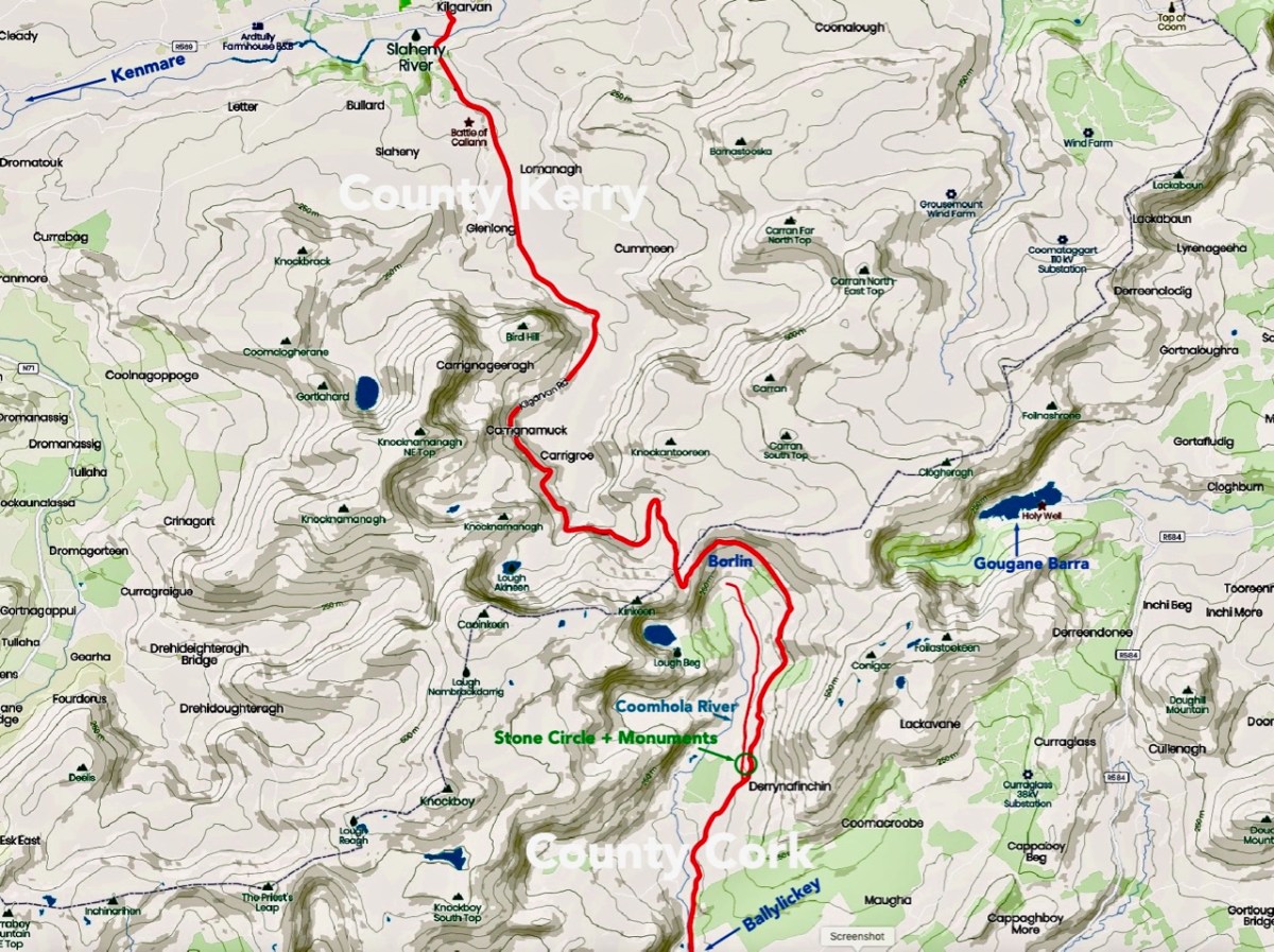
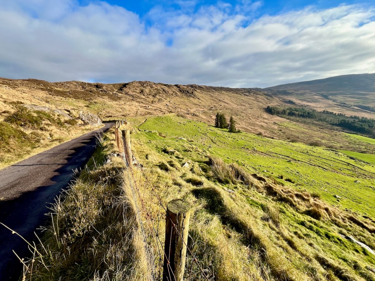
We have certainly travelled this route many times – it’s our favourite way of getting from Kenmare home to West Cork. Assuredly not a direct road, but spectacular – and you’ll hardly see a soul. Here’s a map – the road is in red:

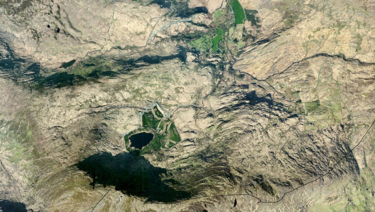
And here (below) – a sculptural abstract – is the nature of the terrain which the satellites spy on – looking straight down!

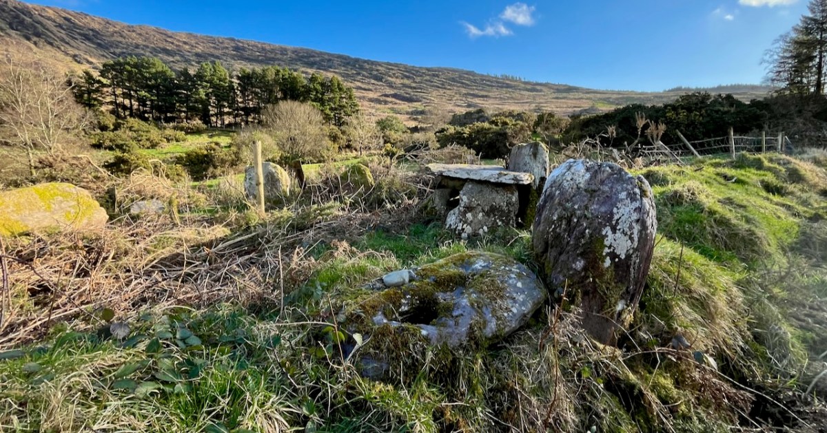
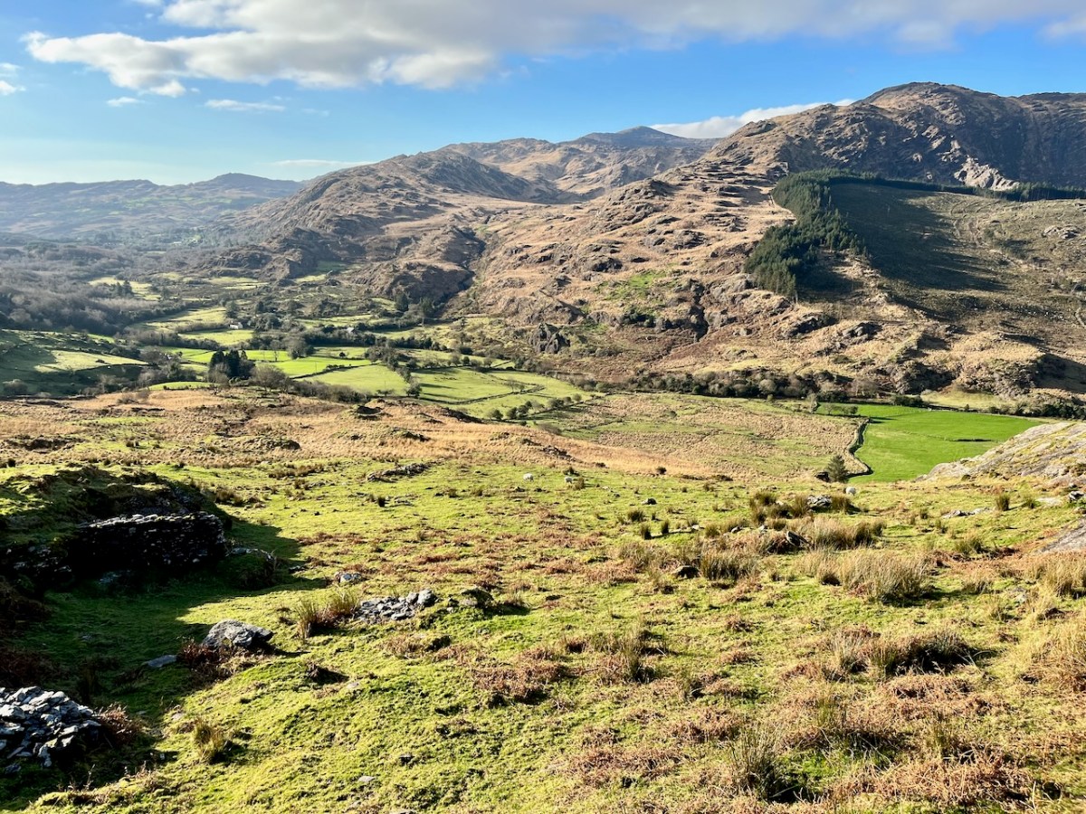
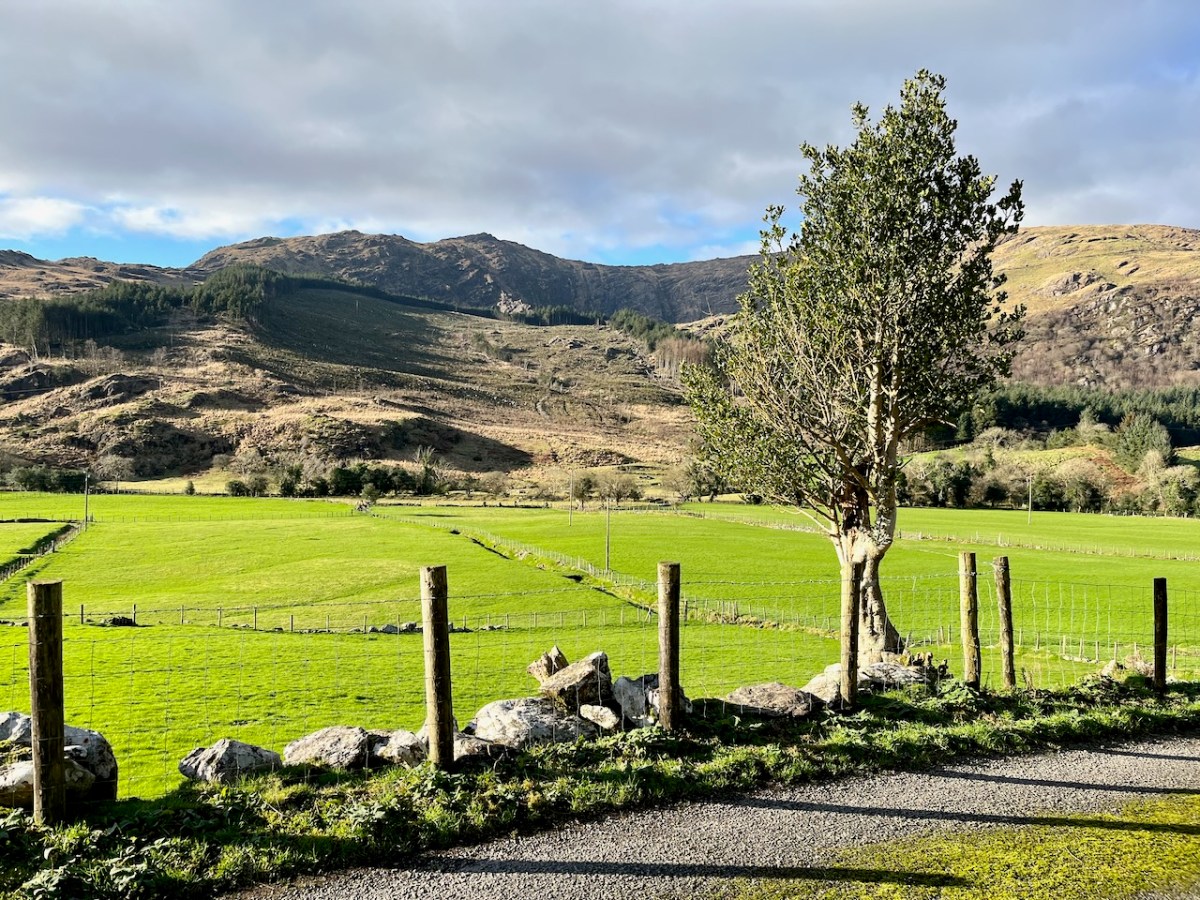
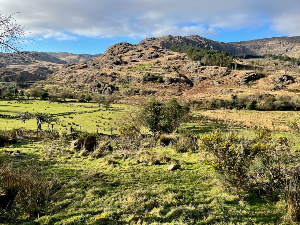
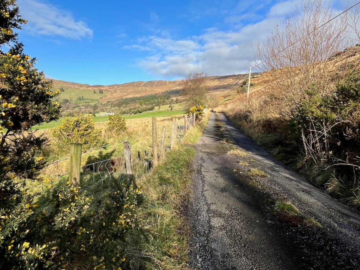
We passed over this high road that skirts the valley on an idyllic January day early in the new year (2024). For the first time, we also traversed the full length of the lane that goes into the heart of the vale, only serving scattered houses and farms. This goes by a complex stone circle and Mass Rock in the townland of Derrynafinchin – or Doire na Fuinseann. The group – also featured on the header – has been fully described by Amanda’s post Derrynafinchin: a bullaun, Mass rock & stone circle from a couple of years ago. Well worth a read!

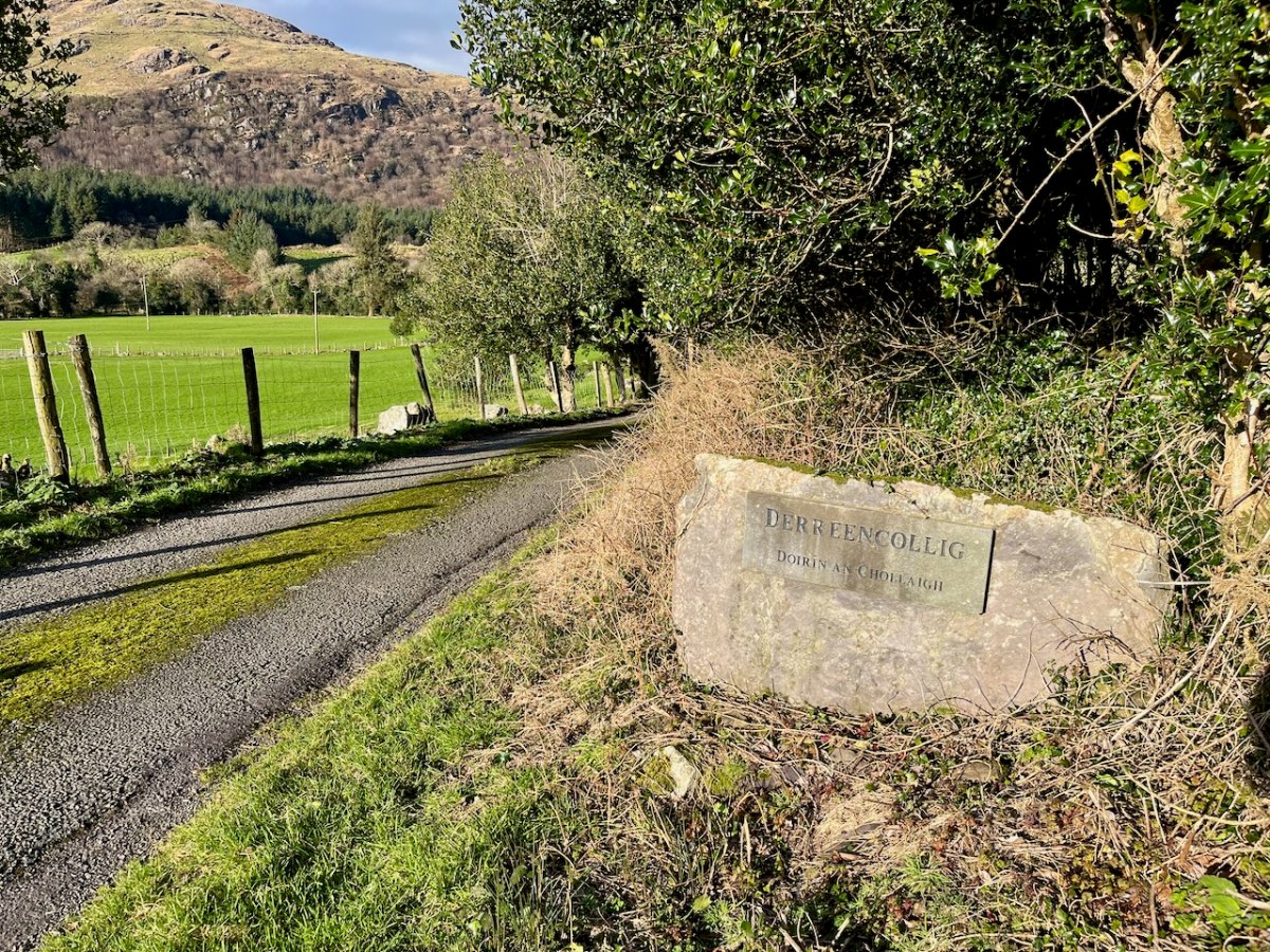
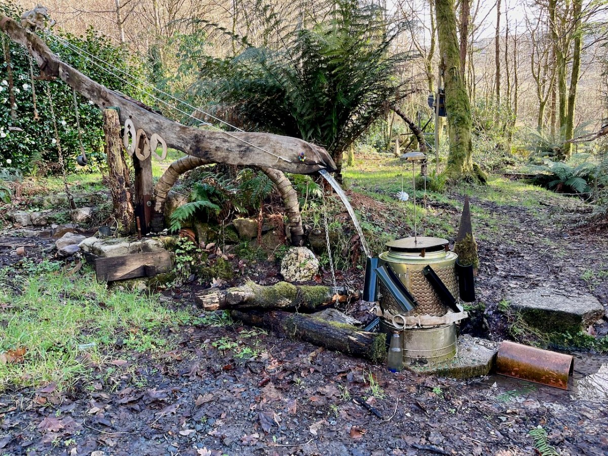
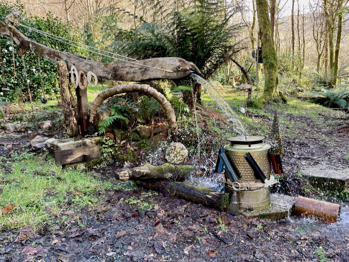
The little lane also passes into the townland of Derreencollig. We were intrigued by some kinetic sculptures we found beside the way: we did not come across the artist, nor anyone else on this part of the journey.

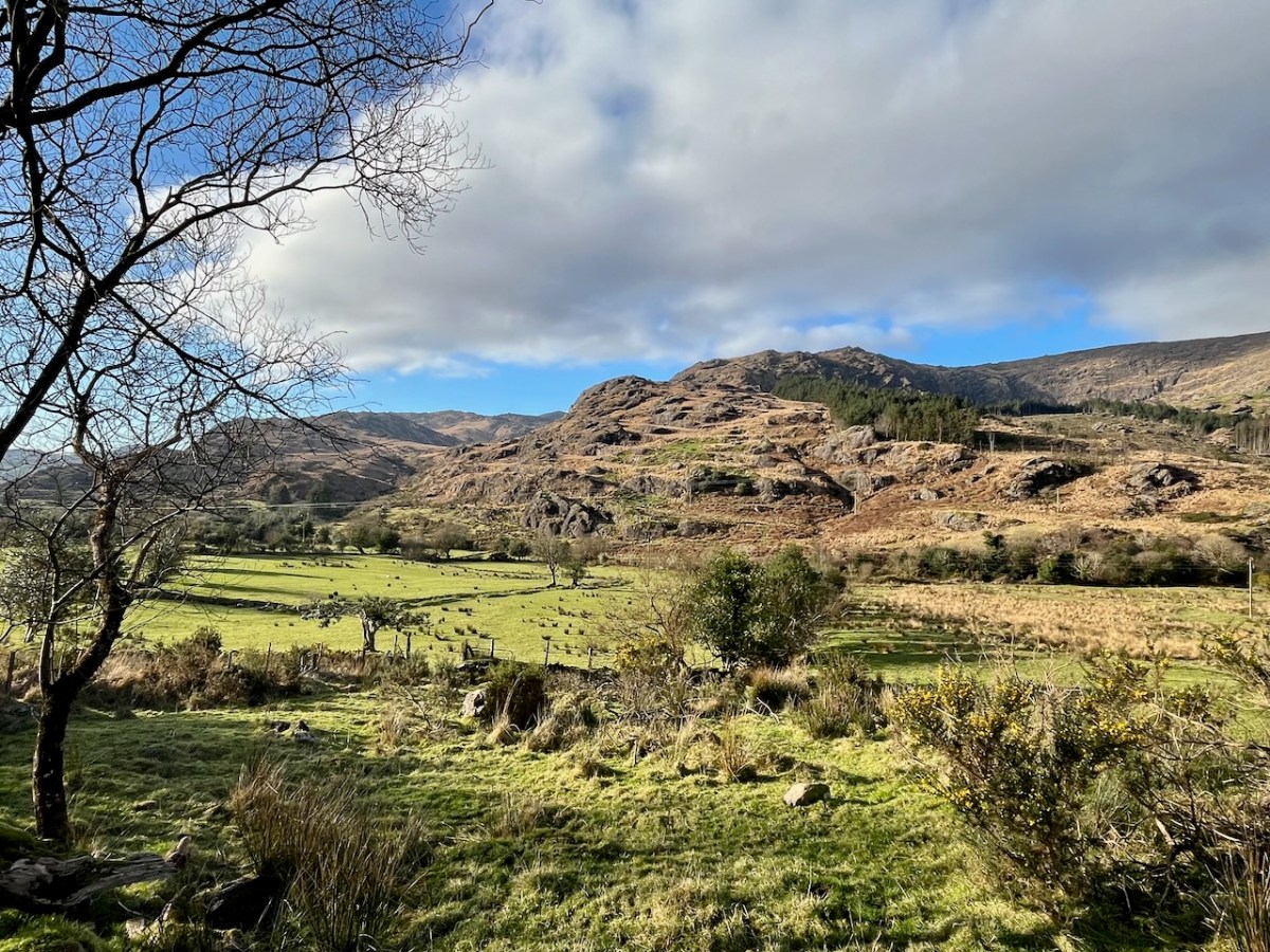
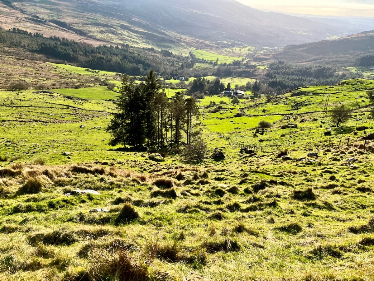
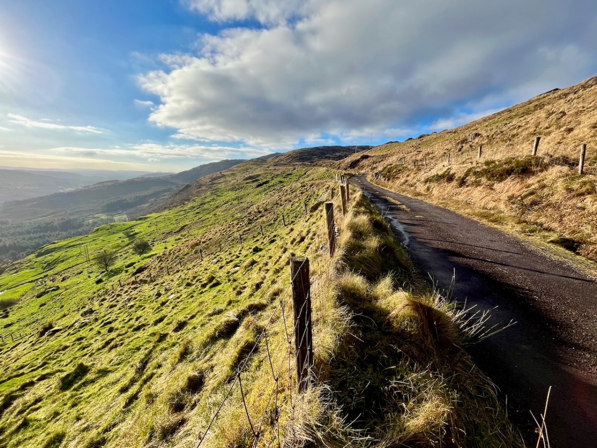
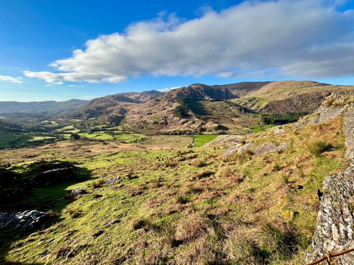
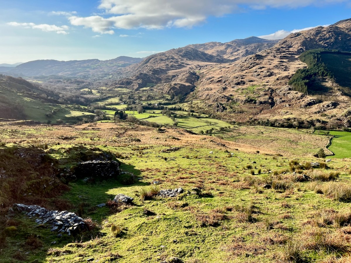
The views into this remote townland and its few habitations is seen from the minor road that follows the contour at high level, heading for Bantry.

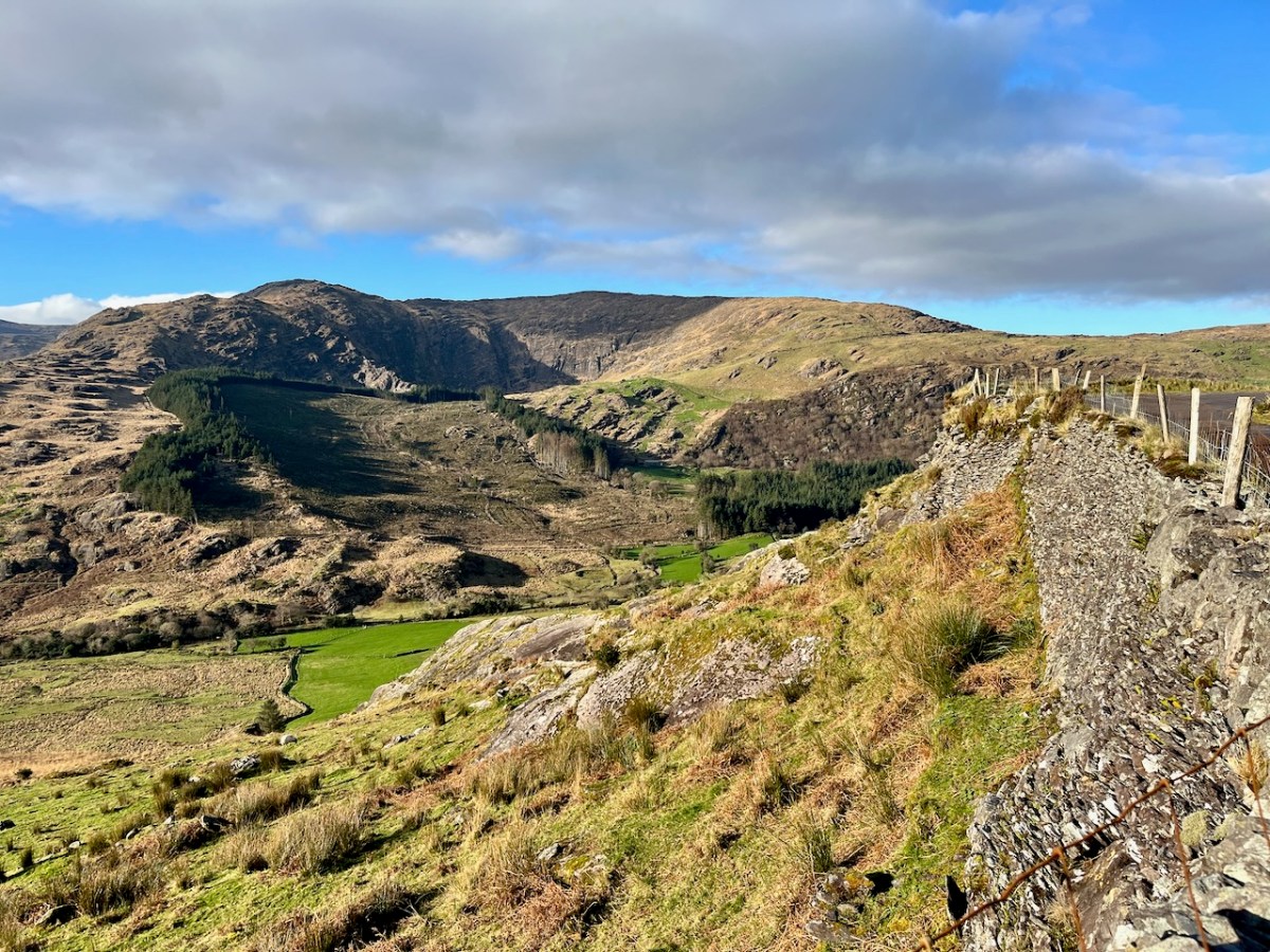
If you find our minor roads tricky, then stick to the main ones. But, if you are not in a hurry, you couldn’t do better on a day of winter sunshine than to traverse the gentler, secret ways.

Description is hardly needed in this little topographical diversion. I’m not sure where else in the world you could find your senses as satiated as here in West Cork (and Kerry!). Travel on!

To my mind there’s no more satisfying way of journeying: keep to the crags and cornices of the high tracks.

Walking with Stones – Your Christmas Present Solved!

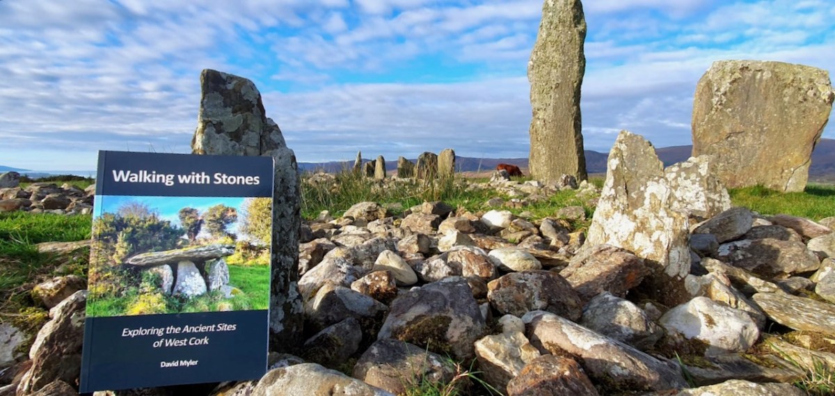
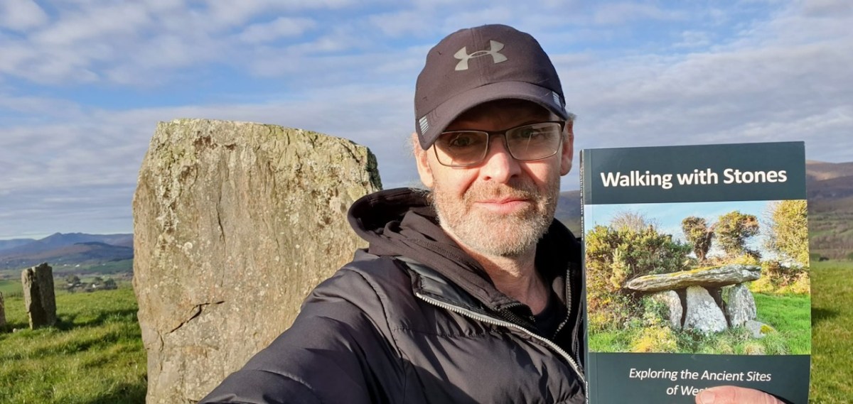
If you live in West Cork, or if you love to visit it, your Christmas present dilemma is solved! Here comes Walking With Stones, the new book on West Cork archaeological sites written by David Myler.

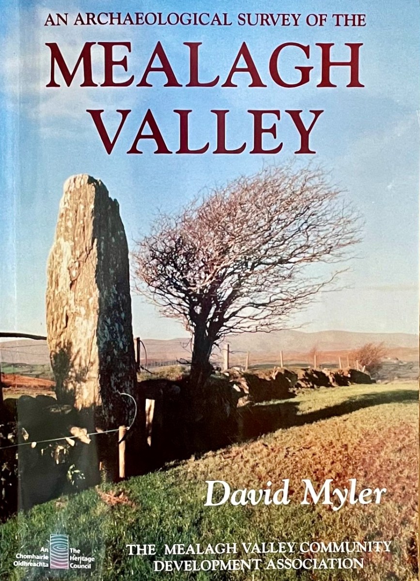
David has been sharing his passion for West Cork antiquities in an online Facebook Page/blog which he called Walking with Stones. But even before that, he wrote An Archaeological Survey of the Mealagh Valley – a book we have had on our bookshelves for years and turned to often. 

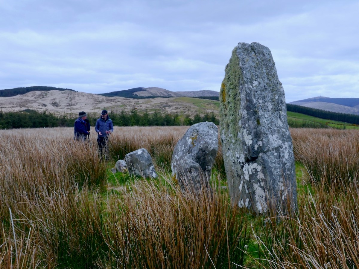
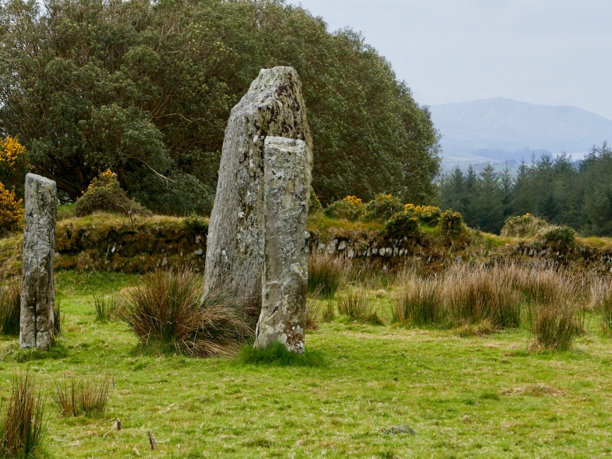
Once we saw Walking With Stones pop up on our Facebook feed, we knew we had found a fellow traveller. We had to meet – and meet we did, along the way discovering many shared interests and even a relative in common. Our first meeting was a field trip where David showed us this stunning stone row in the Mealagh Valley.

On that same trip we saw my first ever Four-Poster Monument – they are very rare, with only four in West Cork – as well as a spectacularly-sited wedge tomb that David had discovered.

David’s book is a very welcome addition to our bookshelf. Perhaps I should declare right away that he asked me to write the Introduction and I was delighted to do so. Now that I finally have my own copy, I am thrilled to be associated with it, in this small way.

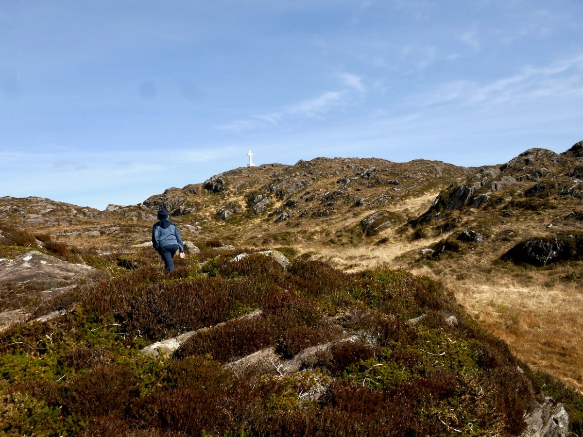
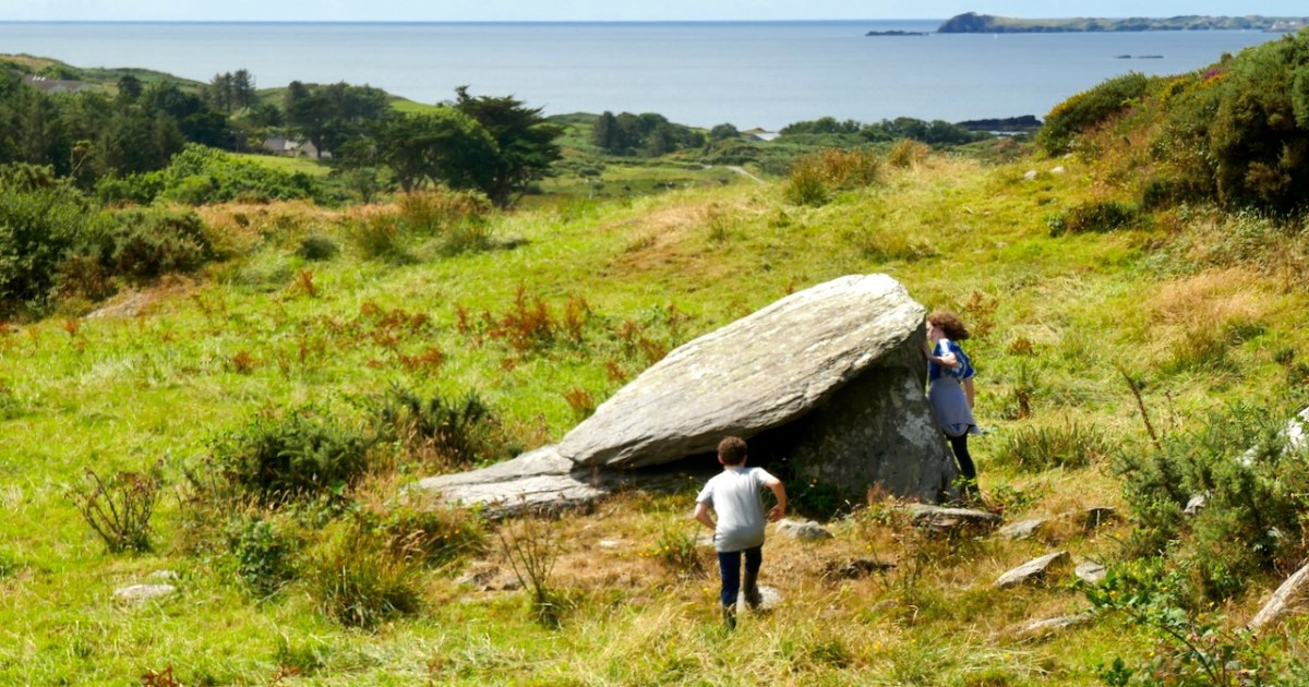
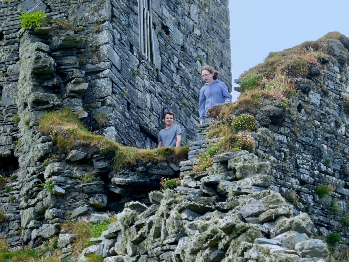
David’s favourite companions on his walks are his kids and one of the real strengths of this book is the sense that all these places can be enjoyed with family. Having young people along, with their curiosity, their need to really explore, and their chatter, brightens any walk. Just make sure you go equipped with food and bandaids. What follows are a few photos of joint field trips we have taken with them.

The only comparable book we can think of is Jack Roberts’ Exploring West Cork, first published in the 1980s and updated and re-published a couple of times. We treasure all of Jack’s books, especially for their marvellous black-and-white drawings, as accurate as they are charming.

While Jack tried to be fairly comprehensive in his coverage, David’s selection is personal – this does not pretend to be a gazetteer, but a guide and companion. Many of the sites have been chosen because they are accessible and can be enjoyed as part of a good walk through the countryside. Restricting the number of sites also allows David to write more about each one and use his own photographs to illustrate important features.

The best place to have David’s book is in your car, your bicycle carrier, or your backpack. You can buy it online here or here.  Look out for it in local bookstores, if you live in West Cork – David is doing the legwork now of getting copies to them.

Congratulations, David! Given that you work full time and have a family to look after, this is an amazing accomplishment and one we are all grateful for.

Cashels in Kerry 4: Staigue

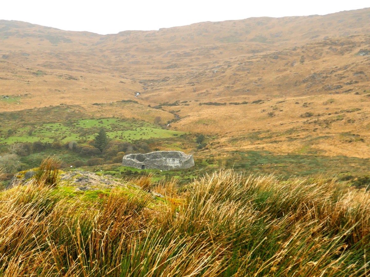
Our last, and most magnificent, cashel in this series is Staigue. Majestic, imposing and mysterious, it sits at the head of a long valley with views down to the sea, almost 4kms away.

Staigue is the one that has never been excavated, and so it is the one that we can project our own speculations on regarding its age, its function, and its association with the fairies.

The thing that distinguishes Staigue from the other Cashels in Kerry I have written about so far is its sheer size. It’s what provokes awe. The first to write about it, in 1821, was the then-landowner F C Bland, who said:

When the appearance of the country, which is barren and uninviting, is considered, it must create surprise, what could have been the inducement to erect such a structure in such a place; and, when the  traveller, whose curiosity has supported him through a long journey, the latter part of which for ten or twelve miles has been through a wild, uncultivated, though not an uninteresting country, first approaches it, he experiences a sensation of disappointment. For it stands a single object on a hill, and from its figure (being round) producing but little effect of light and shade; and, having no familiar object by which to measure its magnitude, and its importance being rather diminished by the extent and desolation of the surrounding scenery, he attaches a meaner opinion to it than it deserves. But when he enters it, he is struck with astonishment; and his imagination almost instantly transports him to distant ages lost in remote antiquity. He vainly endeavours to figure, in his “mind’s eye,” the beings who erected it, their manners, habits, and costume; until, “lost and bewildered in the fruitless search,” his mind returns to sober investigation, again to lapse into conjecture. This effect is not lost by familiarity:—I have visited it a hundred times, and have always experienced the same sensation.

Description of a remarkable Building, on the north side of Kenmare river commonly called Staigue Fort. Transactions of the Royal Irish Academy, Vol XIV, Dublin, 1825

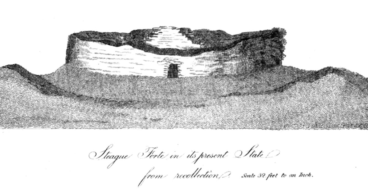
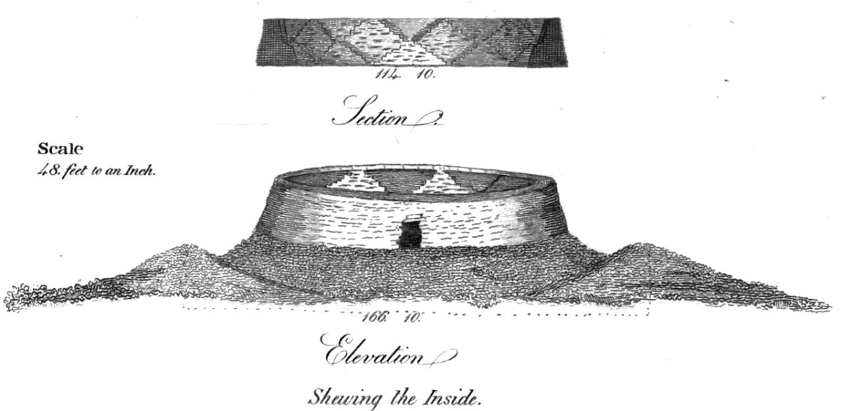
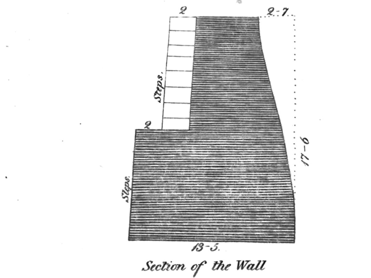
I know how he felt. Bland did a series of measurements and drawings of the fort, and they provide a charming antiquarian look at how it was 200 years ago, when it had been in use as a cattle pound. That’s one of his drawing at the head of this post. Here’s another.

But his account is more than charming – it provides an indication of how the fort looked at that time (even though the drawings are not exactly accurate). This is important because we need to know what interventions have been made over the years to the fort – interventions that can significantly altar the profile and appearance of the fort, as we have seen in the other three. For example, he referred to an ‘eve stone’ a term that is unfamiliar to me, and said:

In one part, where the wall is perfect, it is surmounted  by a projecting eve stone, which, when complete, must have added greatly to the effect of the whole. This is indeed the only attempt at ornament in the entire building.

His own drawing do not show any special feature and whatever it was, no really obvious eve stone has survived the two centuries since he wrote this account. However, the National Monuments record does state The rampart stands to a maximum external height of 5.7m at N, where both Bland and Dunraven noted a number of coping stones projecting slightly over its inner wall-face (1825, 18-19; 1875, 24). Two of these remain in situ, and average 1m x .4m x .08m thick. Perhaps I need to go back and take a closer look.

The good news is that, of all the cashels we have examined so far in this series, Staigue seems to have remained most true to its original state. That is not to say it is identical to how it was 200 years ago – it has been tidied and stabilised, although when and by whom remains uncertain. There is a suggestion that Bland himself employed local workmen to do some restoration work, and another that the OPW did some in the 19th century. 

While no records of these works remain, overall, the fort looks similar now to the older images we have of it. Historic edifices like Staigue cannot be left to crumble if significant numbers of people are visiting it. Sooner or later, as people climb on the walls, knocking off stones, it will deteriorate, creating a safety hazard and a dangerous situation for the monument itself. 

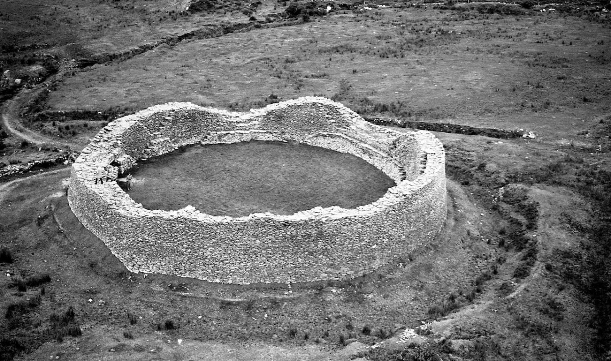
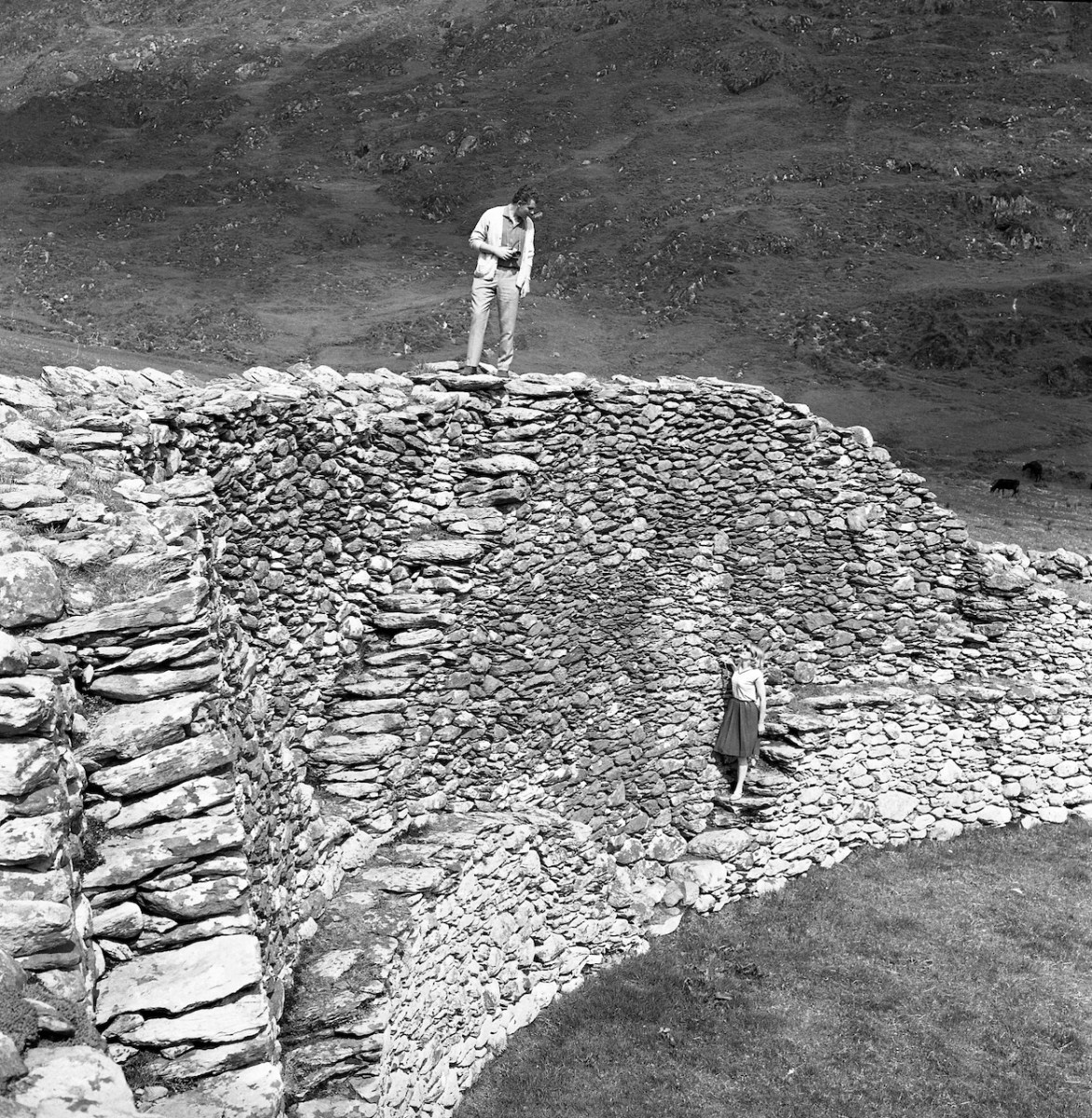
The trick is to intervene as sensitively as possible while still providing safe access and I would say that this has been done well at Staigue, although readers may want to weigh on on this question. The photos above and below are from the Irish Tourist Board collection (used in compliance with their Creative Commons License) – they amply demonstrate that climbing on the walls was as irresistible in 1964 as it is now. The ditch around the fort is also quite obvious in the aerial photo.
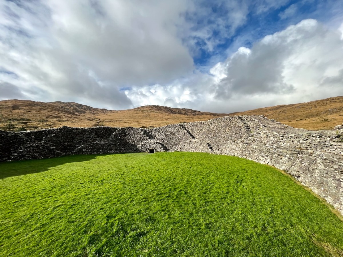
In essence, Staigue is similar to the other Cashels, with massive walls, two internal rooms or ‘cells’ in the walls, an entrance through the walls on the south side, and sets of stairs giving access to the top of the walls.

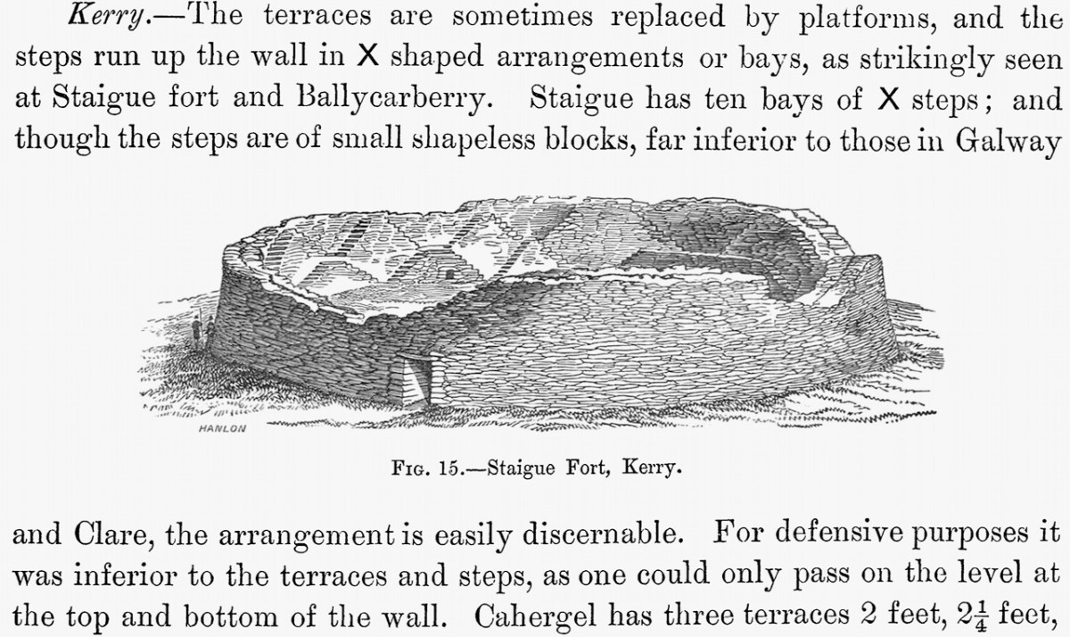
The stairs – the Irish word staighre (pronounced sty-rah) may have given the cashel its name – are the most striking feature. Commonly referred to a X-pattern, the first set lead up to a flat ‘landing’ from where the next set take off in both directions. You can see this really well in this 3D model of Staigue done by The Discovery Program. The image below is a still from the model – click here to go to it – it’s fun to manipulate it for yourself.

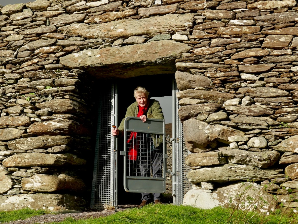
The entrance, surmounted by not one but two massive lintels, leads through the south wall, with a slightly inclined profile. The walls is lowest at this point. 

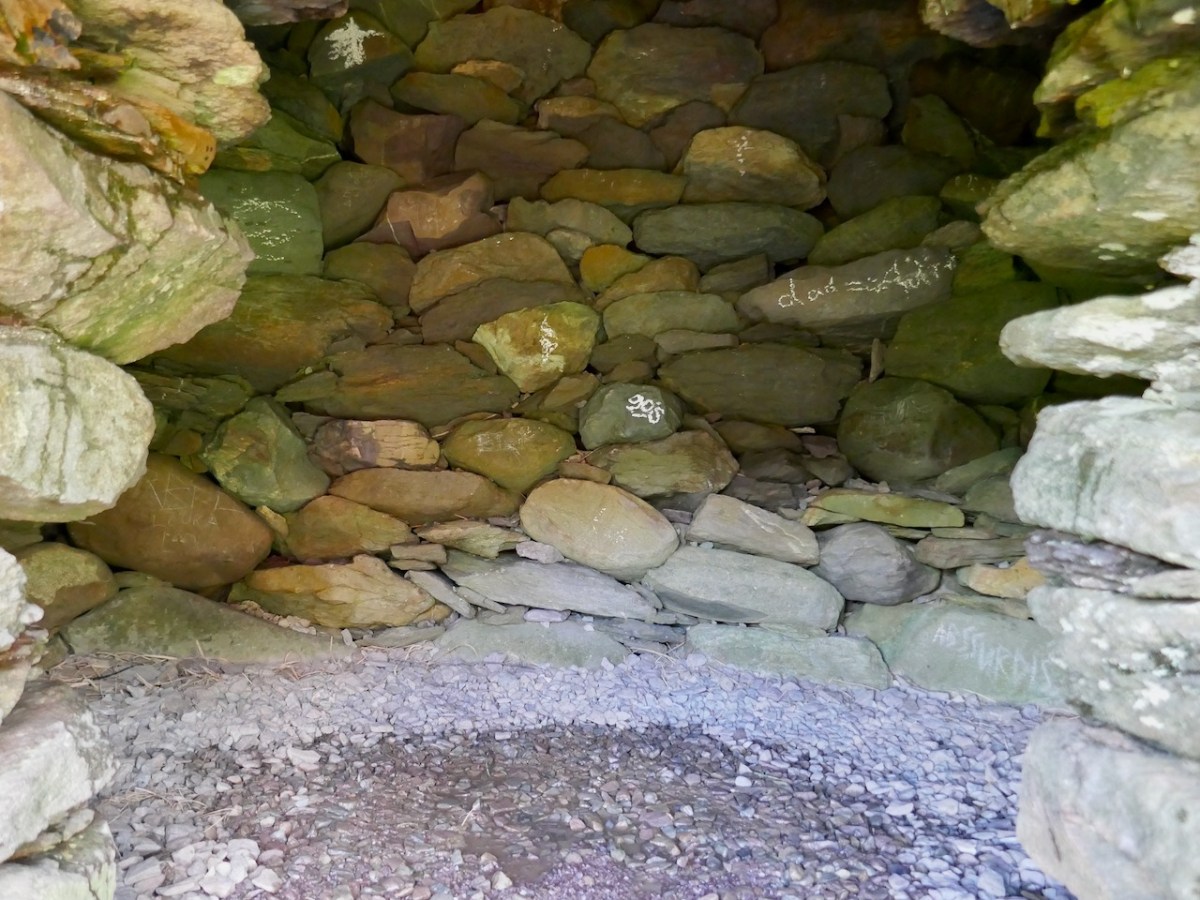
The two mural chambers are to the left of the entrance and opposite it. Their use is unclear, but they may have functioned, like souterrains, as cold storage for food.

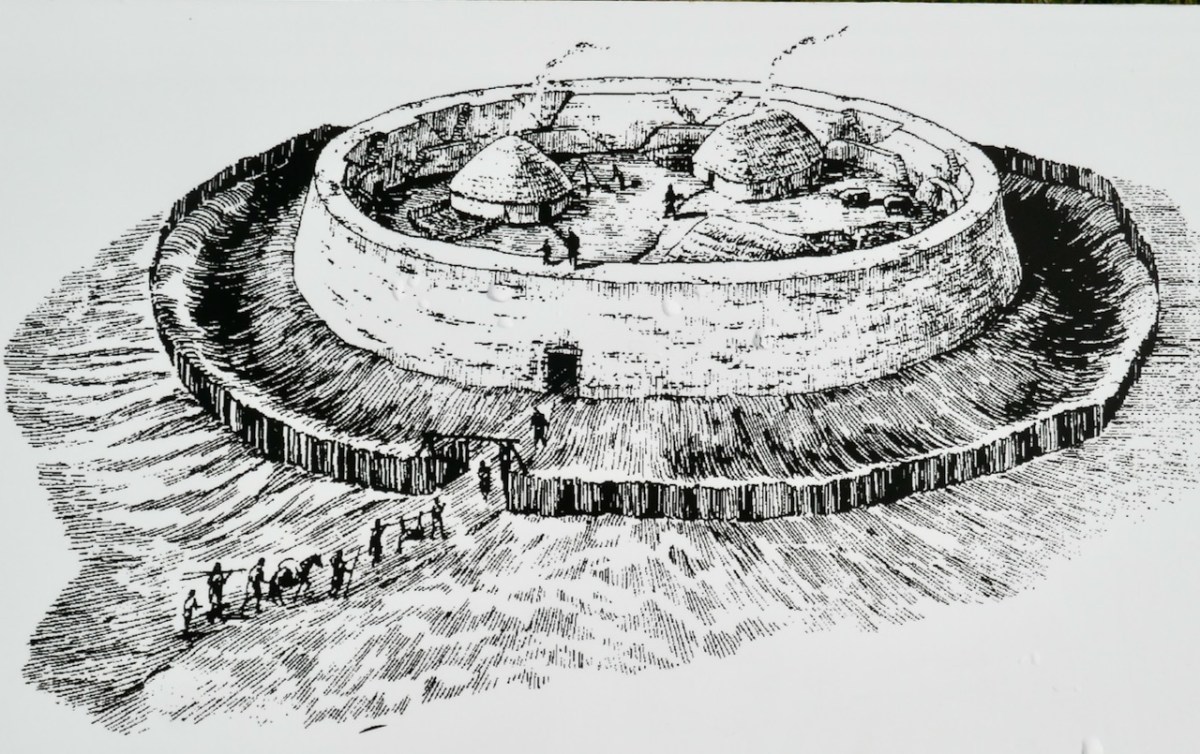
We do not know what buildings may have been inside the fort, although, as we saw in the other three, it was common for these cashels to have houses, whether for dwelling or for ceremonial use (as at Cahergal) or both. It is highly likely that any future excavation of Staigue would reveal similar constructions. The OPW sign (extract below) makes that assumption and says The fort was the home of the chieftain’s family, guards and servants, and would have been full of houses, out-buildings, and possibly tents or other temporary structures.

You remember our old friend General Vallancey from Beranger’s West Cork? In that post I told you that he was an antiquarian of the fanciful sort – forever banging on about druids and Chaldeans and coming up with far-fetched theories. In fact he pronounced Staigue to be a Phoenician amphitheatre! Perhaps Bland’s romantic illustration, below, put him in mind of such an interpretation.

Westropp, one of whose main activities was bringing common sense to antiquarian discourse, in a series on forts written between 1896 and 1901, situated Staigue very much in line with other stone forts on the Western seaboard. The photograph below is from that series. He acknowledges the defensive nature of the huge walls, but declined to use what he saw as the simplistic term “fortress”.

As for their use as cattle pens (as Bland had suggested), he says:

It was, however, not unusual to keep the cattle in the residential fort; we find this in legend, as in the case of the cattle of Iuchna the curly-haired, and in that story, so often quoted, of the three forts of Ventry. What is stronger evidence is that the ancient laws of Ireland made provision for seizing cattle kept in forts, and even for keeping them impounded therein on dark nights. That this extended to later times we have seen in the fort-names Cahernagree, Lisnagry, &c., and perhaps even in the “pounds” of Dartmoor and the local name for Staigue fort “Pounda-na-Staigue.”


The Ancient Forts of Ireland: Being a Contribution towards Our Knowledge of Their Types, Affinities, and Structural Features. (Plates LII. to LIX.). Author(s): Thomas Johnson Westropp Source: The Transactions of the Royal Irish Academy, 1896/1901, Vol. 31 (1896/1901)

Westropp saw these forts as having multiple uses, much as Con Manning did more recently – places of assembly, of ceremony, and, if a dwelling, that of a high status individual. Indeed the command of resources it would have taken to build Staigue is staggering. The fact that it was surrounded by an outside ditch (no longer very obvious) might also add to its indentification as defensive. The photo below is from a 1950 piece by Angus Graham (Some Illustrated Notes from Kerry, in
The Journal of the Royal Society of Antiquaries of Ireland, Vol. 81, No. 2 (1951), pp. 139-145
)

We have seen that the three other Kerry Cashels have been dated to the Early Medieval and Medieval period: Leacanabuaile to the 9th and 10th centuries, Cahergal in use between the 7th and 9th centuries and again during the 11th and 14th, and Loher from 400 to 1600. It is puzzling therefore, that the OPW sign at the fort assigns a likely date of the early centuries AD before Christianity came to Ireland. In other words, the Iron Age. This assertion, of an Iron Age date, is repeated in various online sources about Staigue (including an even more vaguely worded reference to “during the Celtic Period.”). There is no evidence that Staigue was built significantly earlier than the other Kerry Cashels. In all likelihood, it belongs in the same medieval tradition of cashel-building.

If you get to Kerry, go visit all four of these remarkable testaments to our past. You will find yourself wondering at the context in which they were built, and the complex and highly stratified society in which resources could be marshalled to build something that would serve to remind all who saw it, who’s in charge here!

All four posts in this series can be found here.

Cashels in Kerry 3: Loher

I had the opportunity to visit Loher Fort in Kerry recently, so I have decided to expand this Cashels in Kerry series to four and I’m including it in the list. I’m leaving Staigue till last.

Loher Fort was excavated for four seasons in the 1980s by an archaeologist from UCC. Yes, that’s right, four seasons! You might reasonably expect, therefore that this would be the fort that would yield a thick report full of details and illustrations of what was found, some radiocarbon dates, some historical context – but shockingly, the only report ever forthcoming was a few paragraphs provided to Excavations.ie. I quote it in full now.

The fourth season of excavation was completed during 1985. The site may be classed as a cashel, 20m in internal diameter, with rampart walls, 2m thick.

Prior to excavation the interior of the site was composed of stone fill to a depth of 2m. On removing this fill, 2 stone structures were uncovered. Both of these had walls surviving to a height of 1m and 1m in thickness. One structure is circular (clochan type) and the other rectangular. The circular structure is c. 5m in diameter and the rectangular structure is 7m x 6m in extent.

The interiors of both these structures have been excavated. This revealed no great depth of occupation deposit but did reveal a good stratigraphic sequence of structures. Essentially, there are 5 identifiable structures including the above two. In the area of the surviving circular structure, an earlier stone-built circular structure was uncovered. This was pre-dated by a wooden structure constructed of driven stakes.

The rectangular structure was pre-dated by a circular wooden house, again of driven stakes. There is also the possibility of another post-built structure in this area. Apart from the above mentioned stratigraphic relationships, the latest circular structure pre-dates the rectangular stone structure. Other features include a souterrain associated with the circular house, and a parapet walkway and mural steps.

Finds include glass beads and a tanged knife. Organic material includes shell, carbonised seed remains, fish scales and fish bones.

https://excavations.ie/report/1985/Kerry/0000602/

That’s it – that’s all we know, apart from a very broad assigned date in the overview of Medieval (AD 400-AD 1600)

Interestingly archaeologist Aoibheann Lambe, the rock art expert, has identified a number of pieces of rock art in an around the fort, including on stones used as building materials. While these pre-date for fort by several thousand years, it is evidence that people were living in this area for millennia. It’s easy to see why – it’s a spectacular setting, with access to the sea and a location that provides a strategic point of domination over the surrounding landscape.

As at Leacanabuaile, there was also a souterrain, although there is no indication on the ground now of where it was, and we have no record of what it looked like and no plan. It was under the round house, which is the earlier of the two houses. Here’s what the National Monuments records says about that:

The entrance to a souterrain is located in the W half of the interior of the house. Measuring 1.1m x 1.3m, it gives access to a drystone-built lintelled passage, 1m high, which runs E-W for 3m before turning sharply to N. The excavation revealed that the construction of the souterrain post-dated that of the house, and that an earlier stone-built circular structure in the area of the house was, in turn, pre-dated by a wooden structure constructed of driven stakes.*

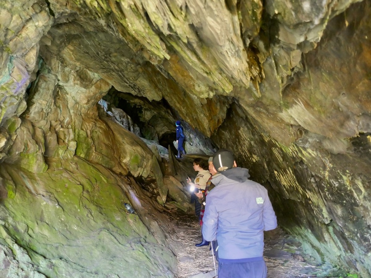
What is a souterrain exactly? As the name suggests, it’s a man-made underground passage, often associated with ringforts and cashels. They may have had a variety of uses, but perhaps the main one was as a root cellar to preserve food. That’s me, above emerging from one of the most famous of of our Irish souterrains, Oweynagat at Rathcroghan. They’re a common class of archaeological monument – there are over 1,000 in Cork and over 800 in Kerry. Folklore is rich with stories of souterrains that stretch for miles, that end up in the sea or in a nearby castle, but alas although we know of complex examples with passages leading to multiple chambers, most are quite short and contained within the general area of the ringfort. For more on souterrains, see this wonderful site. 

There was also a covered drain leading from the fort entrance to the house, and another between the two houses. Not quite the fine paving that was found at Cahergal, but certainly a way of keeping your feet dry on what were no doubt well-worn paths. There’s no mention of this in the brief report, but obviously the OPW, who conducted the reconstruction, knew about this, as did National Monuments who commissioned the interpretive plaque. Is there, in fact, more information available somewhere? I would be happy to stand corrected.

The walls and stone steps, which are a standout feature of these Kerry Cashels, are described in the National Monuments record. Note they use the word Caher instead of Cashel – both mean ‘stone fort.’

Caher Wall: This consists of a rubble core faced internally and externally with random courses of well-built drystone masonry. Much of the external face, which is battered, is concealed by a substantial build-up of collapse and field-clearance material. The wall, which is up to 4m in basal thickness, varies in external height from 1m to 2.5m and internally from 2.5m to 3.3m. A lintel-covered paved entrance passage. . . leads into the interior of the site from SSE. A terrace, reached by means of seven inset arrangements of opposing steps, occurs on the internal face of the caher wall at an average height of 1.3m. The arrangements of steps occur at irregularly spaced intervals, and the individual sections of the terrace to which they give access average .6m wide. Traces of a short section of a second terrace, also furnished with steps, occur above the first in the N sector of the wall.*

Because we have no access to a proper excavation report, we don’t know how closely the reconstruction efforts at Loher were based on the findings. However, from the little information we have it seems that what we see now on the ground is a reflection of what was left after multiple periods of occupation, one of which (perhaps the earliest phase) included a house built with wooden stakes. 

Like Leacanabuaile and Cahergal, it seems that once the excavation is over, the OPW moves in and ensures that what is left, if it is to be open to the public is made safe for visitors. If that was all they did, we might all, perhaps, be a little less confused now about what these forts looked like originally. But the instinct to reconstruct is strong, as well as the perceived need to tidy up the place, round off sharp corners and keep the grass trimmed to golf course standards. The information plaques the National Monuments folk provide are exceptionally well designed and full of welcome information.

What we can say is that it’s a wonderful site, impressively built and situated, and adds to the sum total of what knowledge we have of how high-status individuals constructed statement dwellings or ceremonial spaces for themselves in medieval Ireland. 

  • The description is taken from the online inventory maintained by National Monument for all archaeology sites in Ireland, available to search here:

All four posts in this series can be found here.