Exploring Ancient Drowned Landscapes

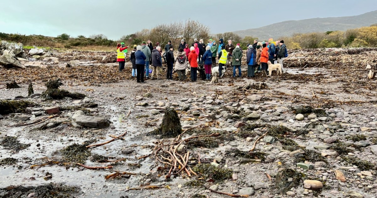
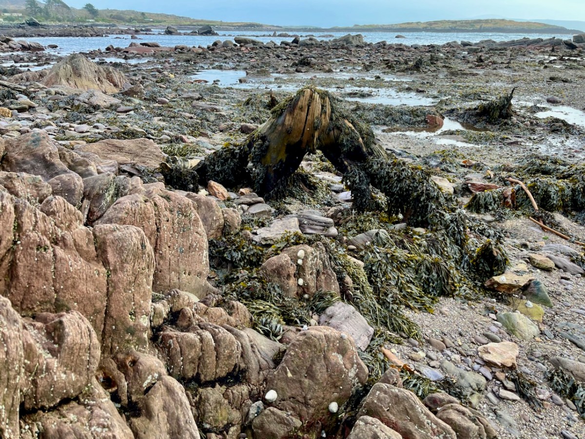
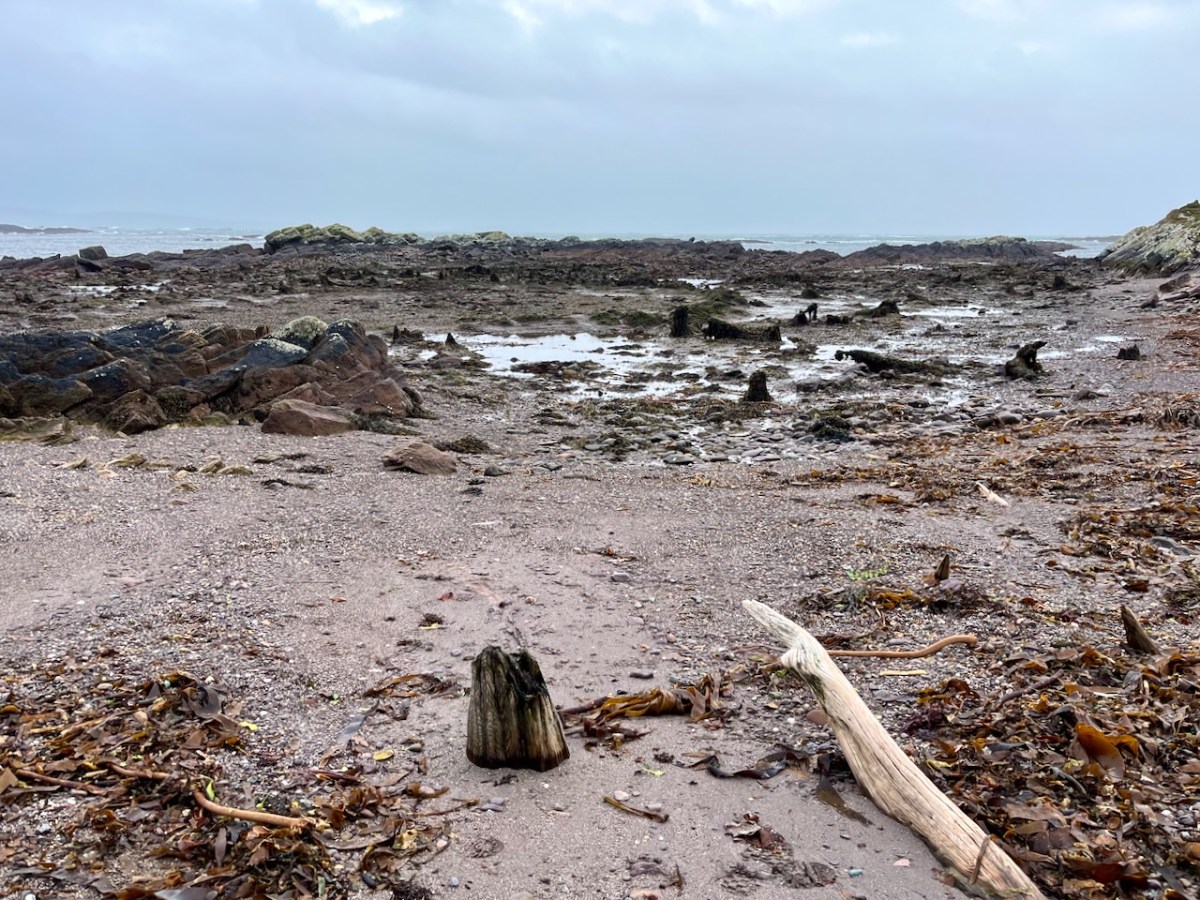
‘Drowned Landscapes’ – that’s an adequate enough description for us to look again at a subject which RWJ covered five years ago in this post: Tralong Bay, Co Cork – give it a read. I was reminded of the subject when we took part in an Archaeology Festival based in West Kerry just a week ago: Amanda’s current holy well blog describes the expeditions. One of the sites visited was Bunaneer Drowned Forest, where we saw stumps of trees on the beach there which were alive thousands of years ago. At low tide many tree remains become visible at Bunaneer, near Castlecove village on the south coast of Kerry’s Iveragh Peninsula. Our guides for this expedition were plant biologist Calum Sweeney and archaeologist Aoibheann Lambe.

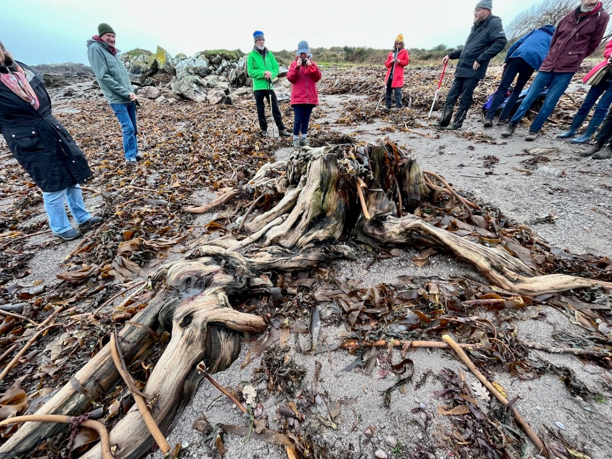
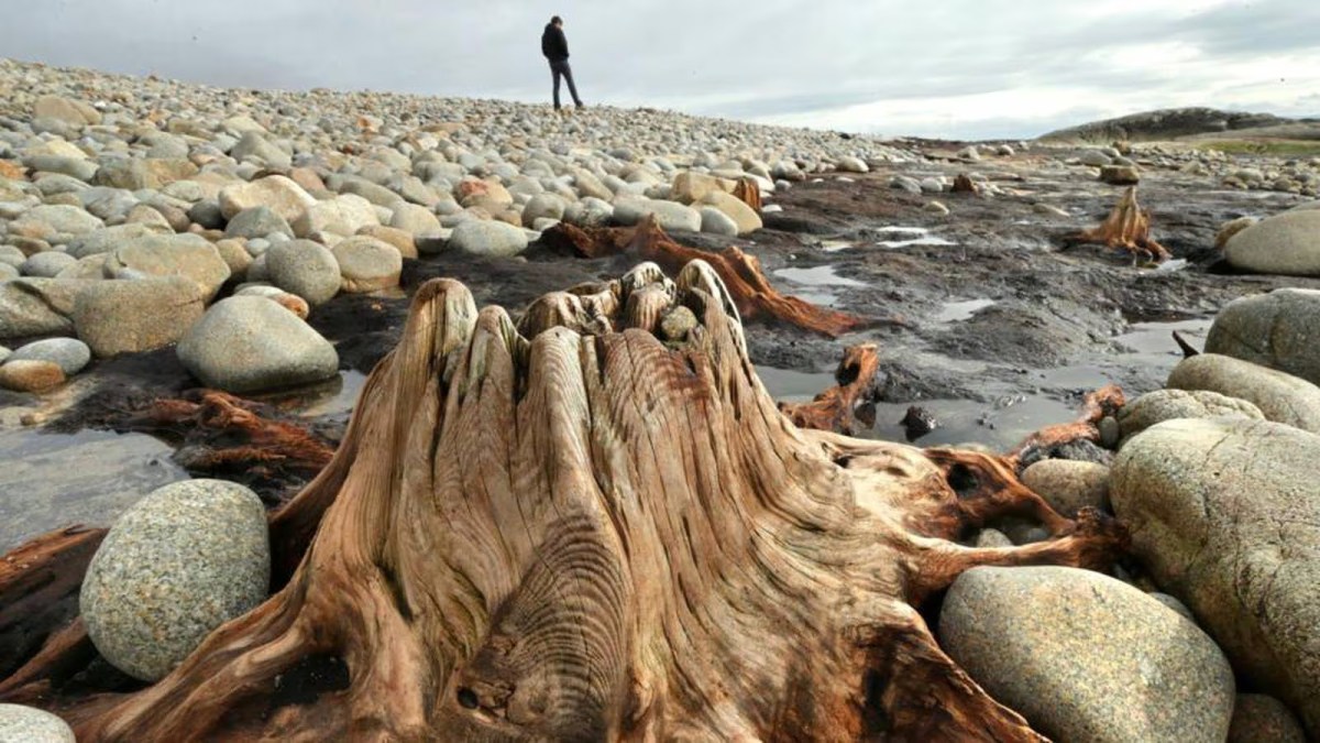
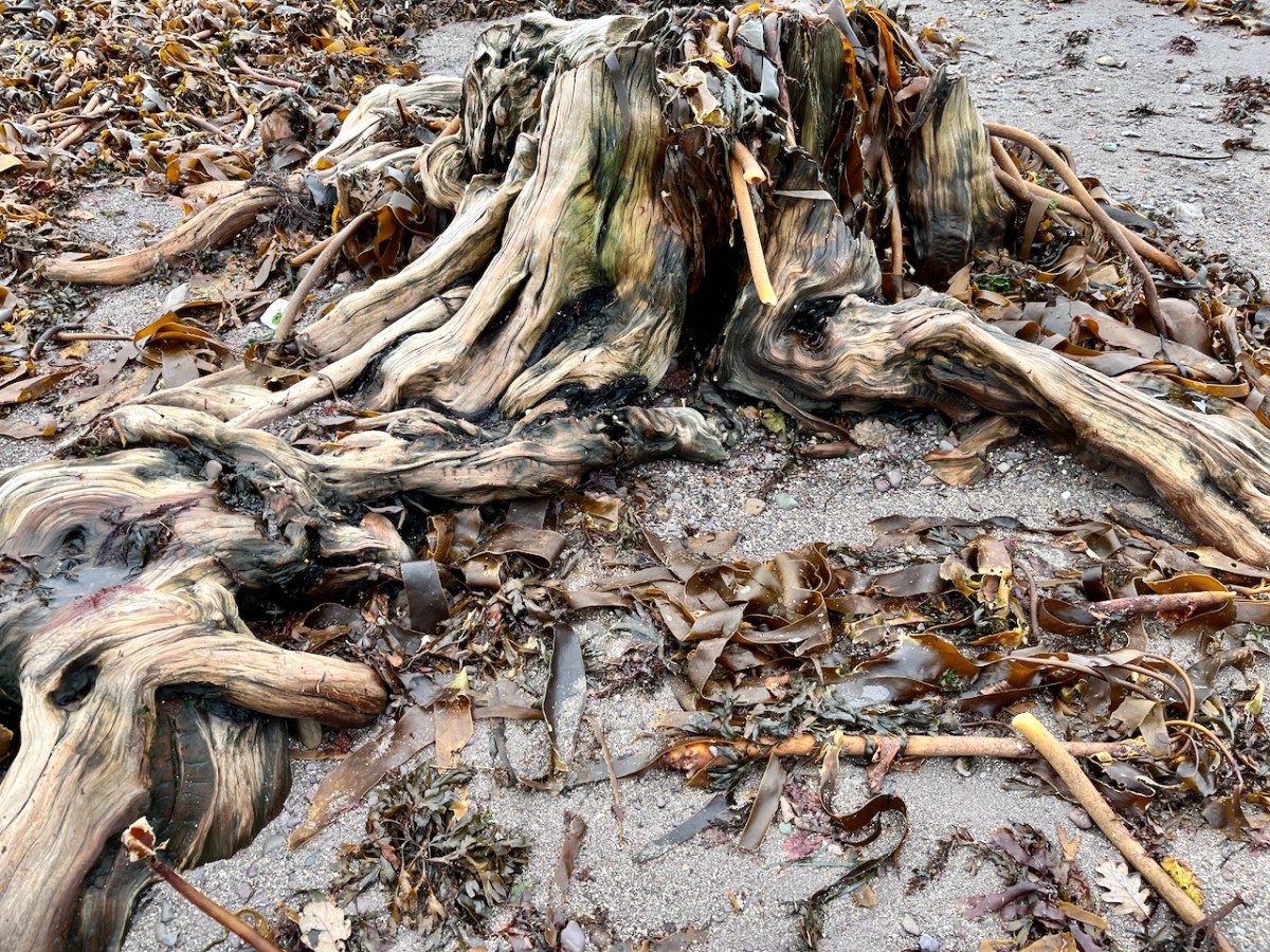
This large jumble of roots (above) is known as Goliath. All the remains here can be seen at regular low tides: at other similar sites elsewhere in Ireland, remains of ancient tree boles and roots are only revealed when tides are exceptionally low. I find it remarkable to be able to see and readily touch these archaic pieces of timber: we are communing with distant history!

Carbon dating has shown that these remains were alive between three and a half and five millennia ago. This is evidence that sea levels were significantly lower then, and that the shore line was further out – perhaps 50 metres from where we see it today. We are constantly – and quite rightly – being warned about rising sea levels resulting from our changing climate in the long term: here we see clear verification that it’s a continuing – and now apparently accelerating – process.

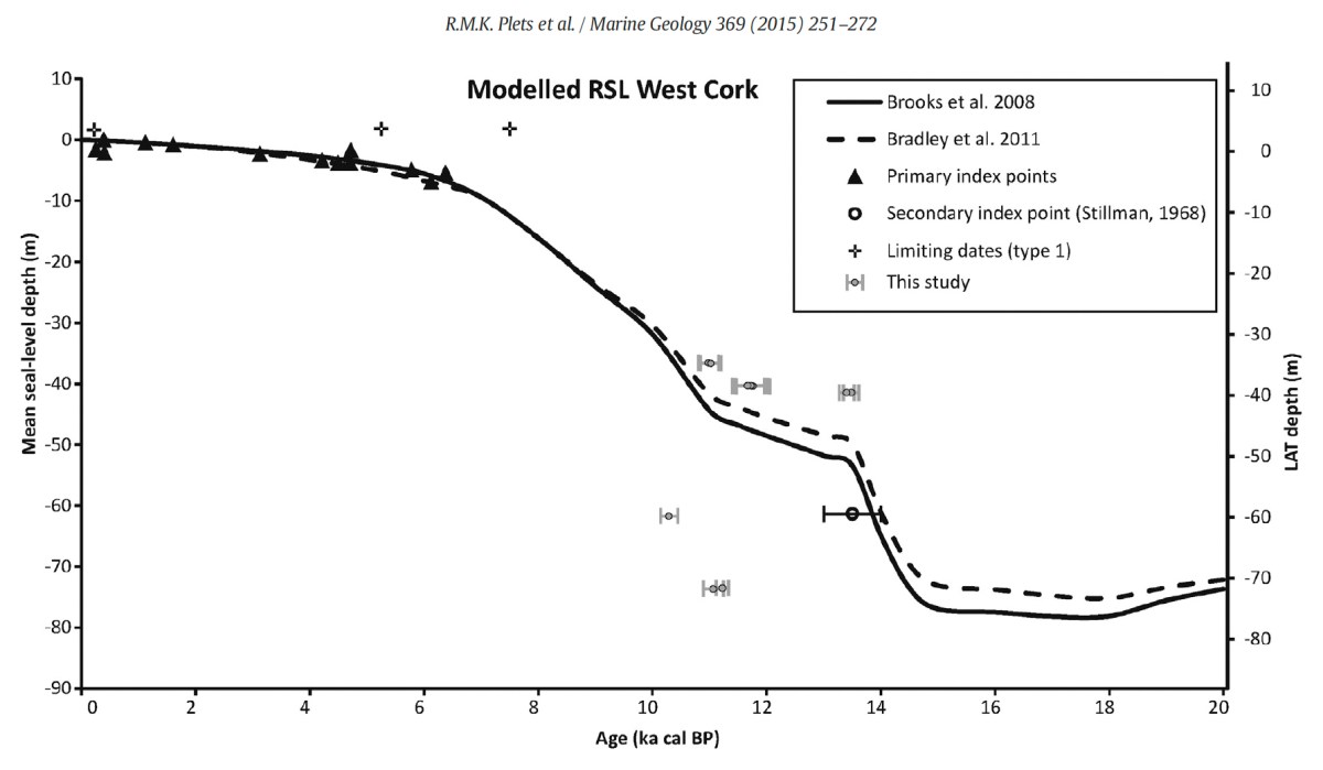
Our friends Robin and Sue Lewando were also on this expedition. Robin has a particular interest in sea-level changes in the Late Quaternary and subsequent eras, and he pointed me to a 2015 paper which explores the subject specifically in the Bantry Bay area of West Cork. That’s a good place to be looking at ancient history: remember the story of Cessair – Noah’s daughter-in-law – who came ashore at Donemark? You first read about it here! So this is a scientific diagram which sets out how sea-levels have been changing over time in our locality:

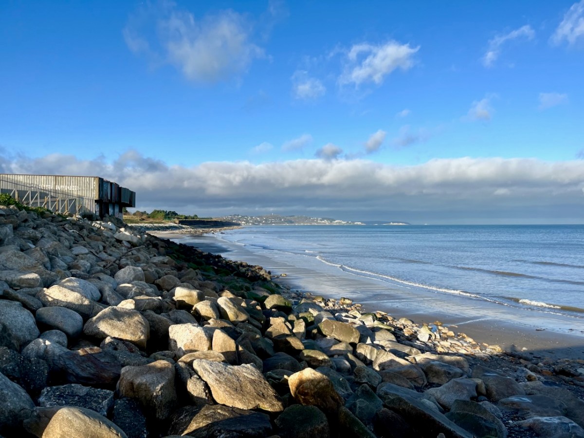
It’s an interesting comparison to take our horizons wider in our study of changing sea levels across the islands of Ireland. Over on the east coast – north of Bray, Co Wicklow – there is another substantial area where tree remains have been revealed at certain tidal conditions.

Above are the areas of beach between Bray and Killiney where ‘drowned forest’ remains have been observed. While at Youghal, Co Cork, further finds have occured:

This example catches our interest because the name of the settlement – Youghal – is derived from the Irish word ‘Eochaill’ meaning ‘Yew Woods’: they were evidently once common in the area, leading us to wonder whether the tree remains in this instance are of yew. In 2014 the following account of another ‘ancient drowned forest’ discovery appeared in the Irish Times (photograph courtesy of Joe O’Shaughnessy):

. . . Walking out on to the shoreline at low tide, geologist Prof Mike Williams points to the oak, pine and birch stumps and extensive root systems which were once part of woodlands populated by people, wolves and bears. These woodlands extended out into lagoons and marshlands that pre-dated the formation of Galway bay, Prof Williams says.

An extensive layer of peat also exposed at low tide in the same location in Spiddal was formed by organic debris which once carpeted the forest floor. The stumps at Spiddal are surrounded by root systems which are largely undisturbed. The carpet of peat is covered in strands of a reed called phragmites, which can tolerate semi- saline or brackish conditions.

“These trees are in their original growth position and hadn’t keeled over, which would suggest that they died quite quickly, perhaps in a quite rapid sea level rise,” Prof Williams adds. Up until 5,000 years ago Ireland experienced a series of rapid sea level rises, he says. During the mid-Holocene period, oak and pine forests were flooded along the western seaboard and recycled into peat deposits of up to two metres thick, which were then covered by sand.

Prof Williams estimates that sea level would have been at least five metres lower than present when the forests thrived, and traces of marine shell 50cm below the peat surface suggest the forest floor was affected by very occasional extreme wave events such as storm surges or tsunamis. He says most west coast sand-dune systems date to a “levelling” off period in sea level change about 5,000 years ago. Dunes in Doolin, Co Clare, are older still, having first formed around 6,500 years ago.

Prof Williams has located tree stumps in south Mayo and Clare, along with Galway, which have been carbon dated to between 5,200 and 7,400 years ago at the chrono centre at Queen’s University, Belfast. Some of the trees were nearly 100 years old when they perished . . .

Lorna Siggins
Irish Times 07/03/2014

Goliath, West Kerry, November 2023

Cashels in Kerry 1: Leacanabuaile

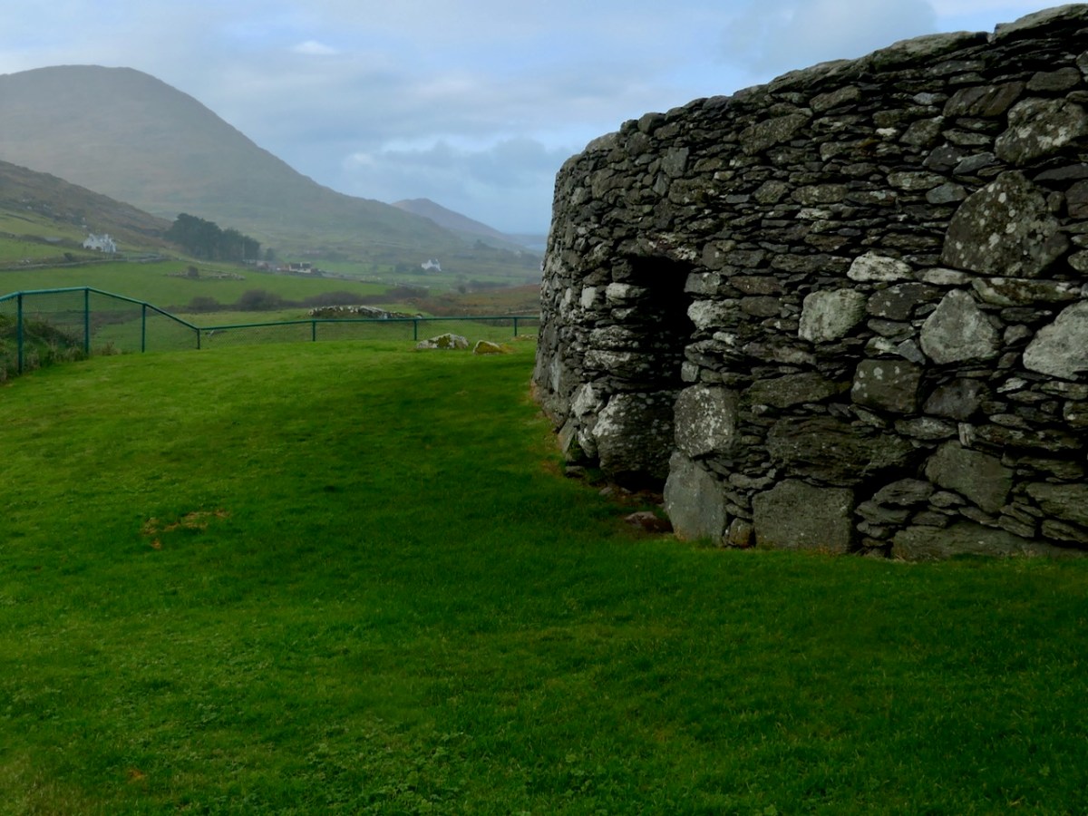
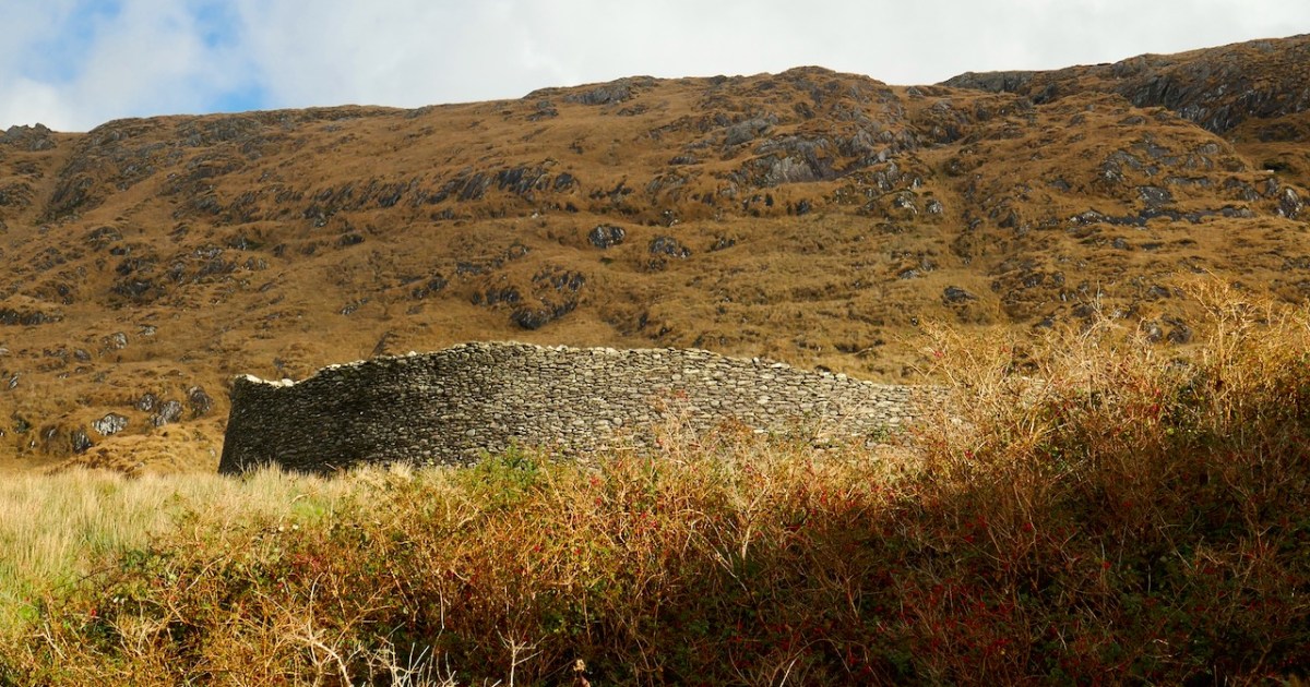
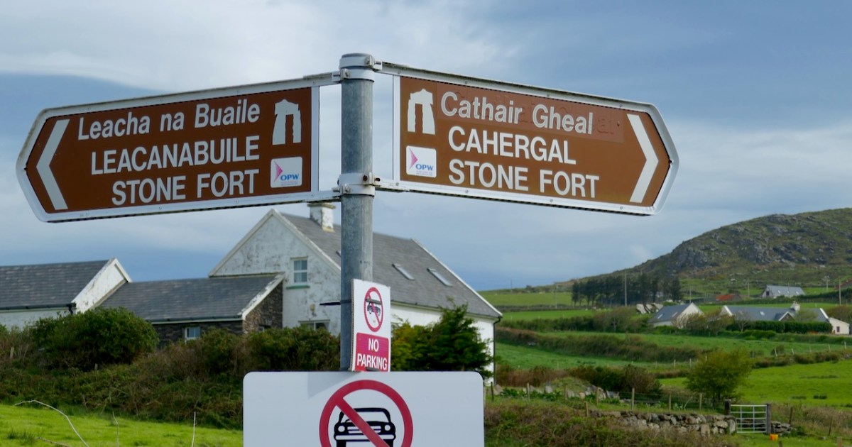
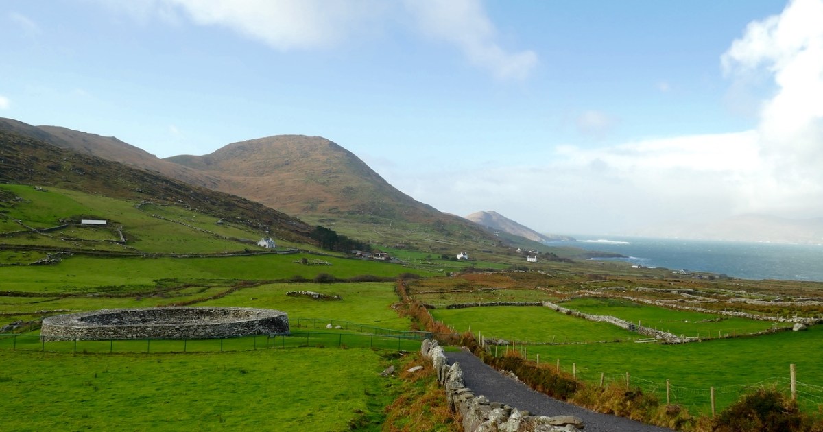
We have been in Kerry a few times this year and visited three stunning sites – Staigue (above), Leacanabuaille and Cahergal (sometimes written Cahergall) – all of which fit the definition of stone forts, often referred to as Cashels. For non-Irish readers, cashel is pronounced the same way as castle, but with the sh sound in the middle –  don’t say cash-elle. 

Each of these also fit in to a category that has been labelled by archaeologists as the Western Stone Forts, and they were the subject of research by the Discovery Program several years ago. The forts included under this title, about 25 in all, dotted along the western seaboard, were chosen because of their their large size, or prominent location or because they have complex or massive defensive features.

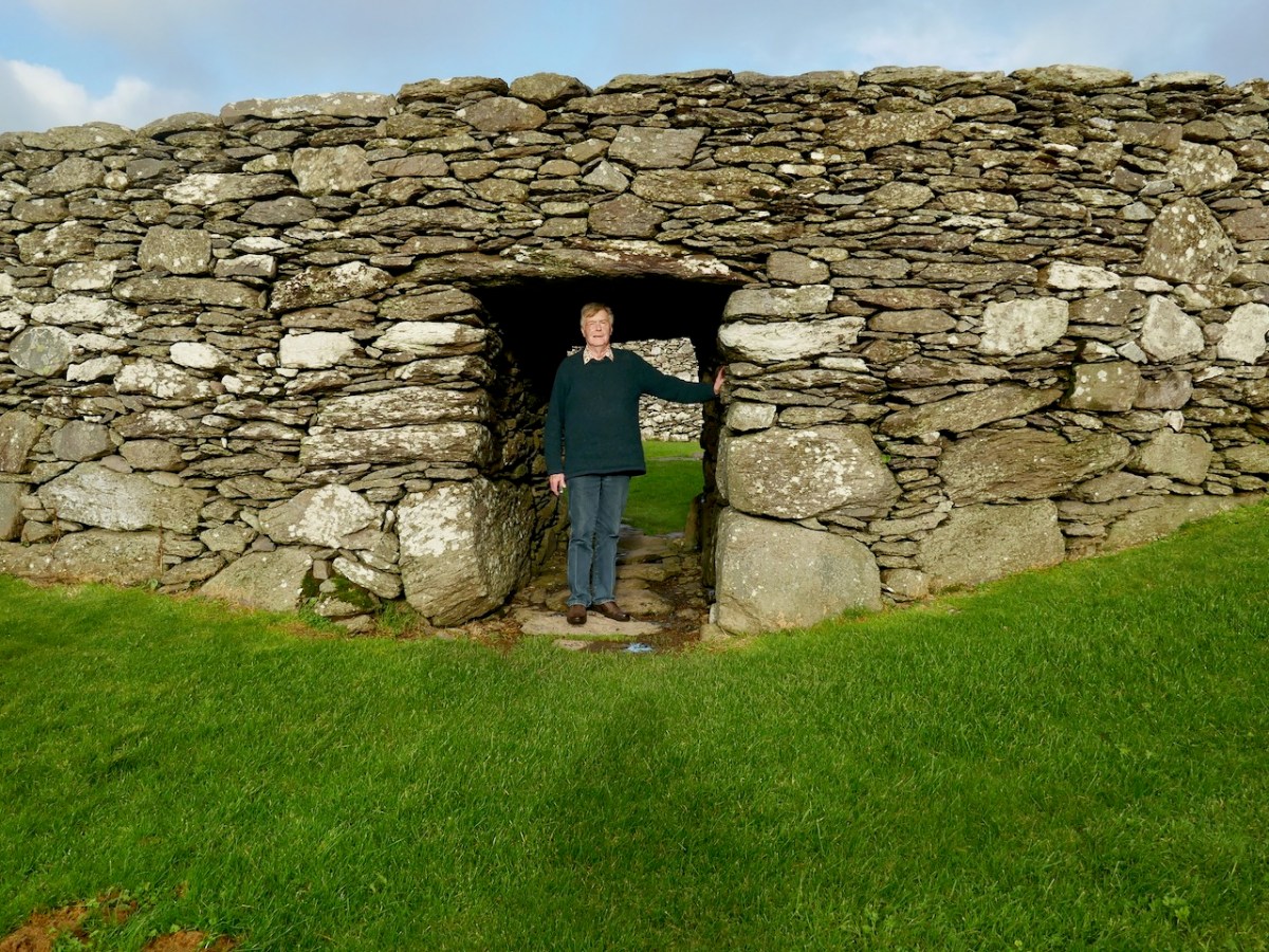
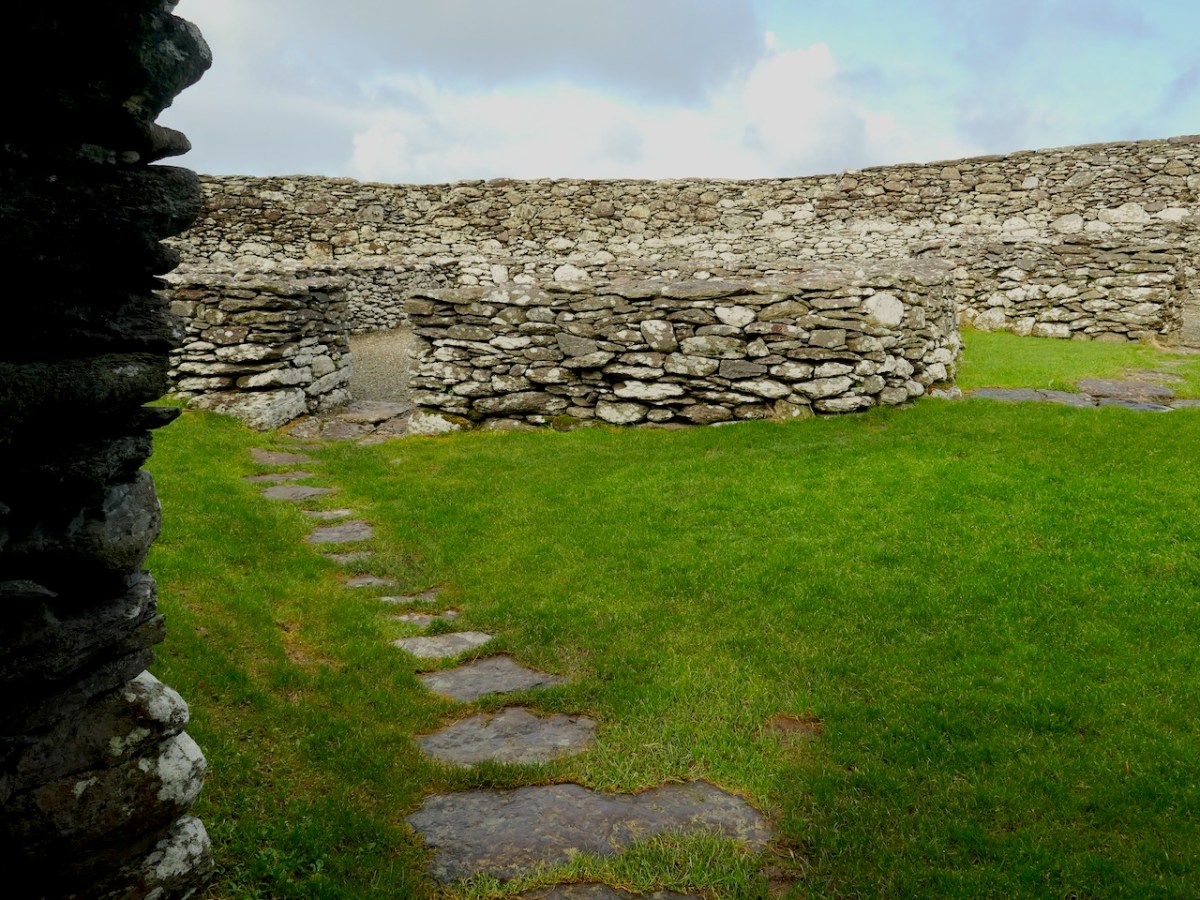
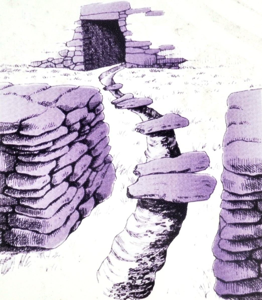
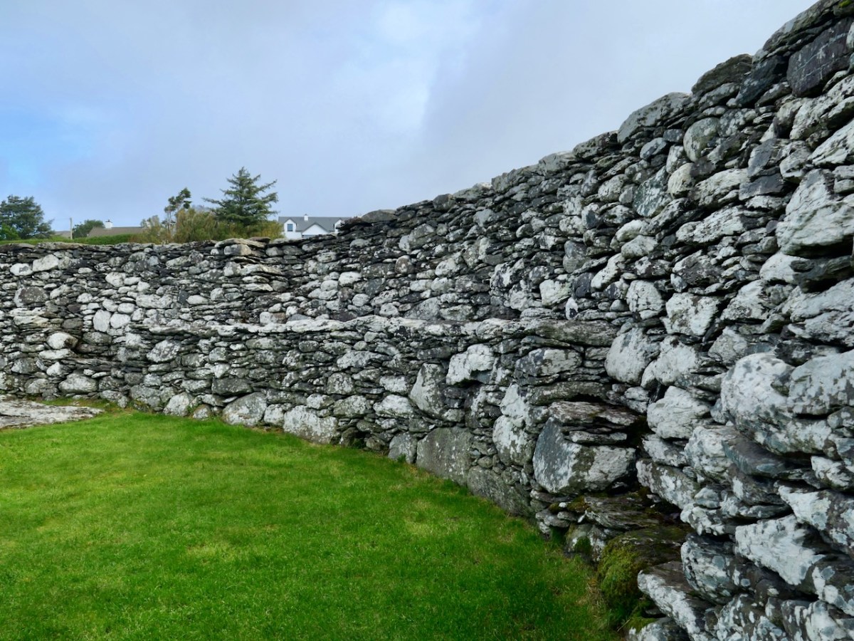
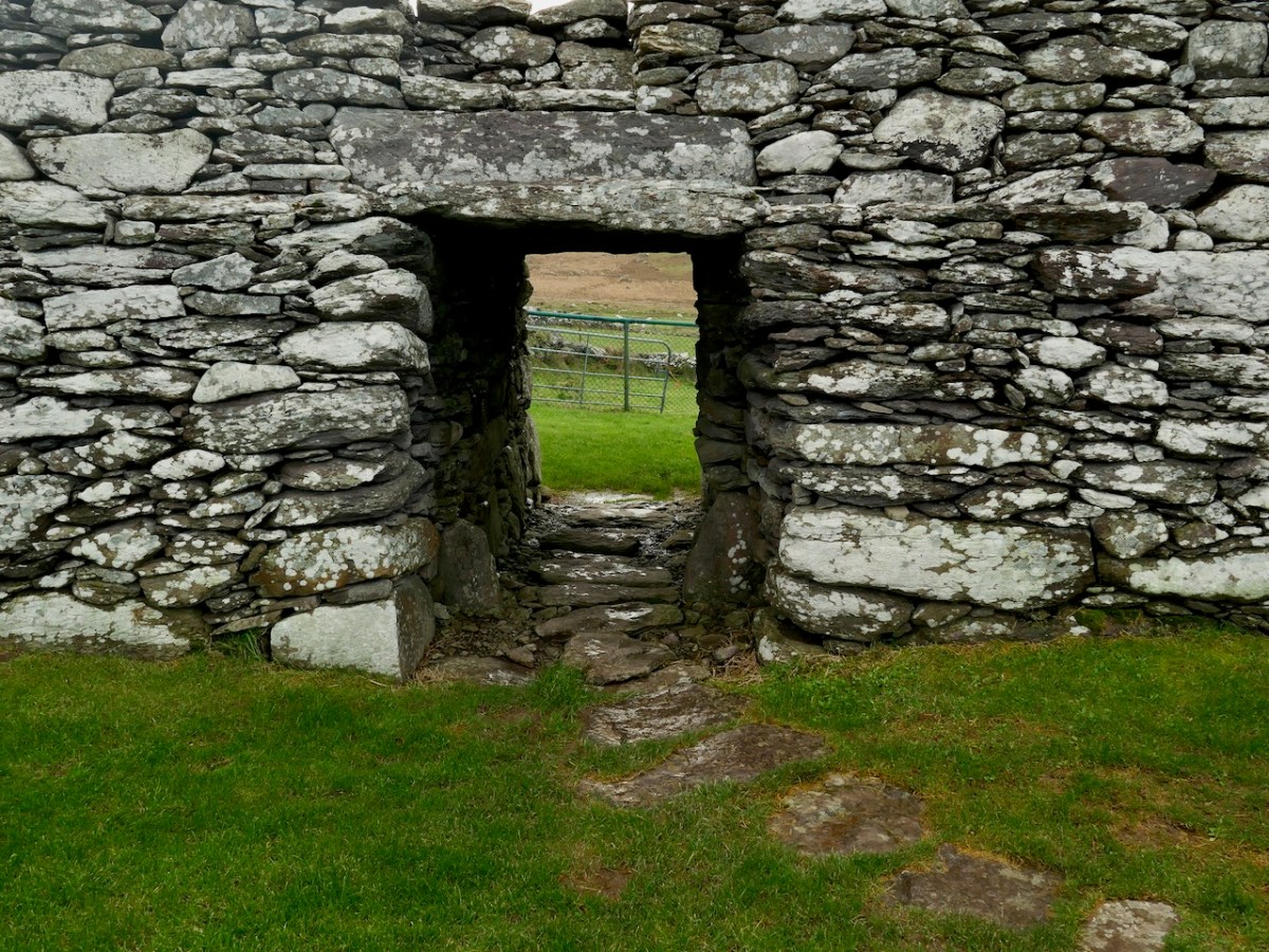
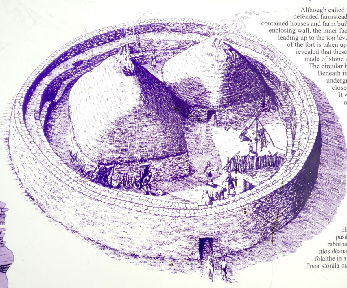
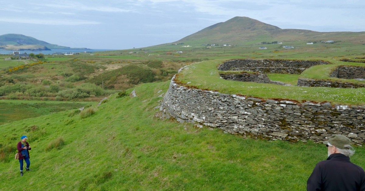
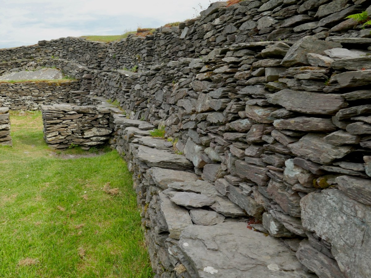
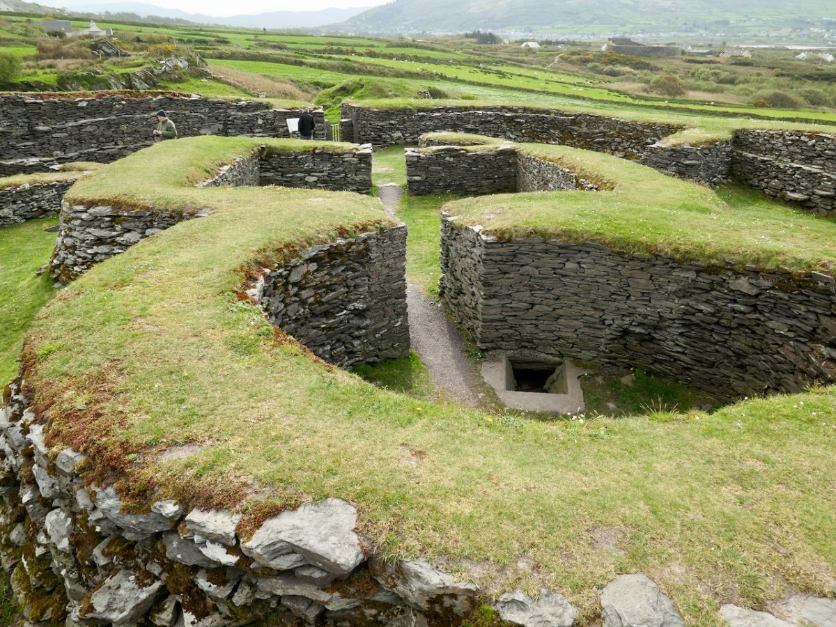
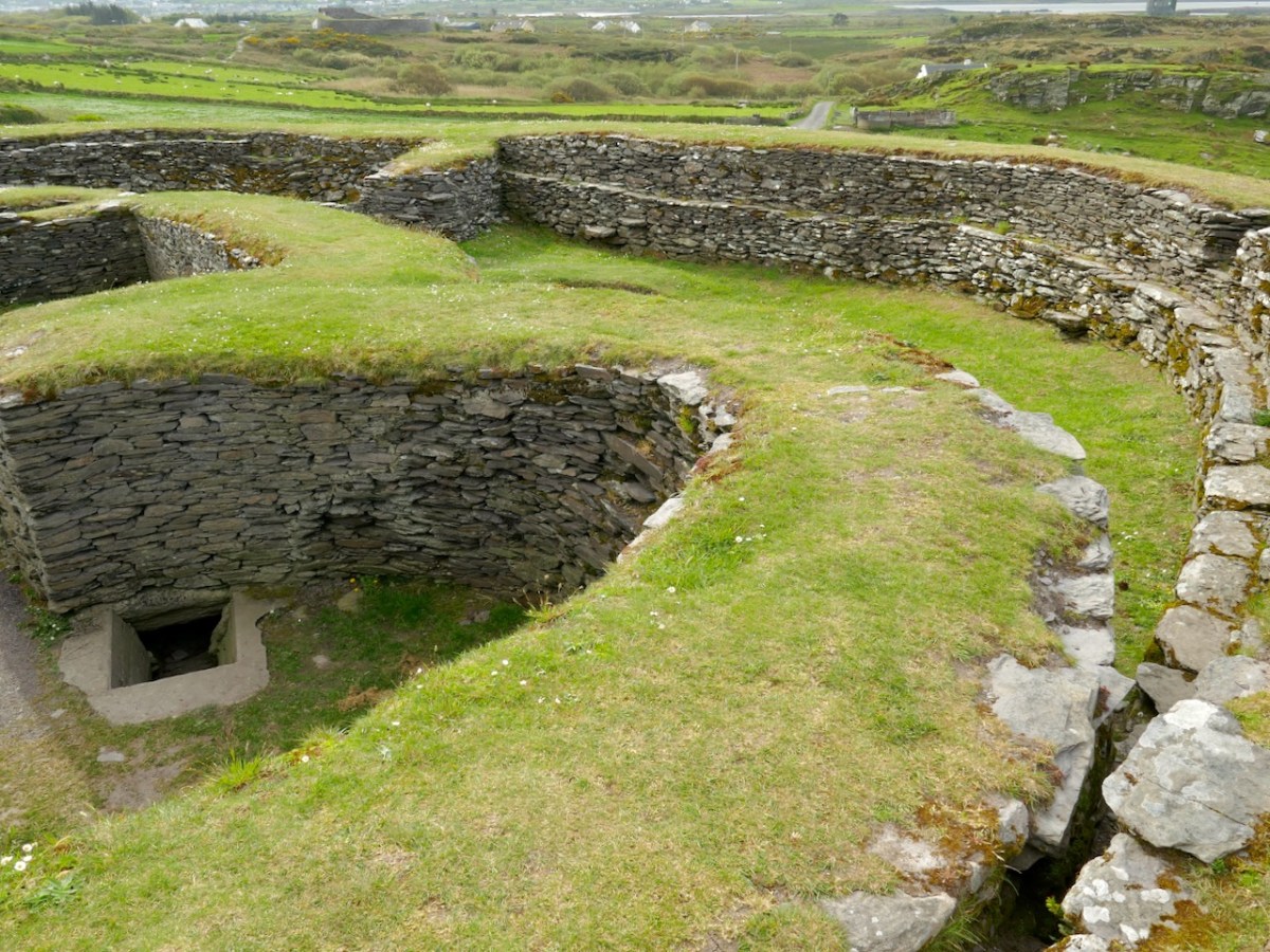
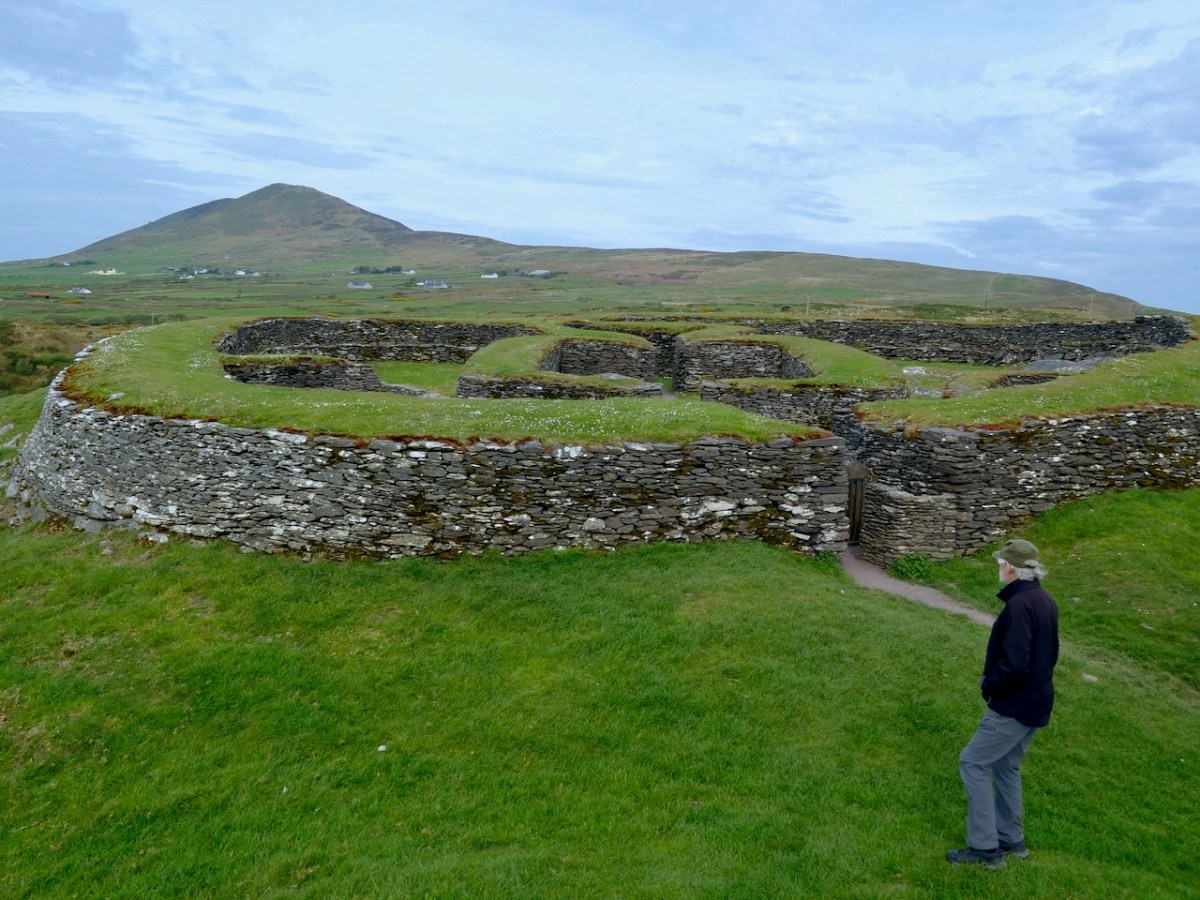
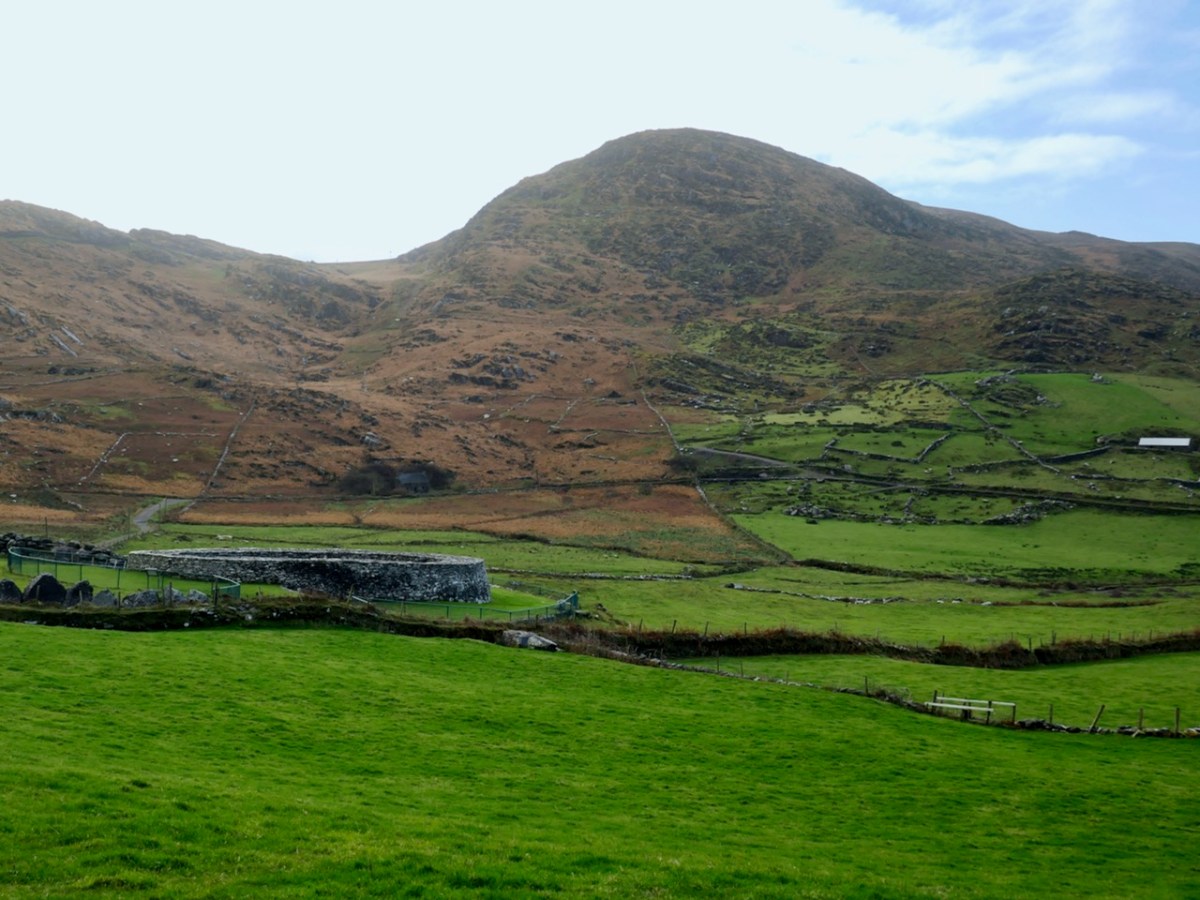
In a fascinating talk available to view online, archaeologist Claire Cotter walks us through several examples of such forts. In relation to size, she points out the huge investment in effort to build those walls, once you go over about 2 metres in height. Of course the walls have to be very thick as well, to carry the weight of all that rock and to ensure they didn’t fall over. Inside, a feature of Staigue and Cahergal are the stone staircases arranged in a X shape – they make for a strong visual statement. Leacanabuaile (below) has stepped levels on the inside of the walls to give access to the parapet. Let’s take a look at each fort in turn to see what’s unique and what’s common among the three of them. 

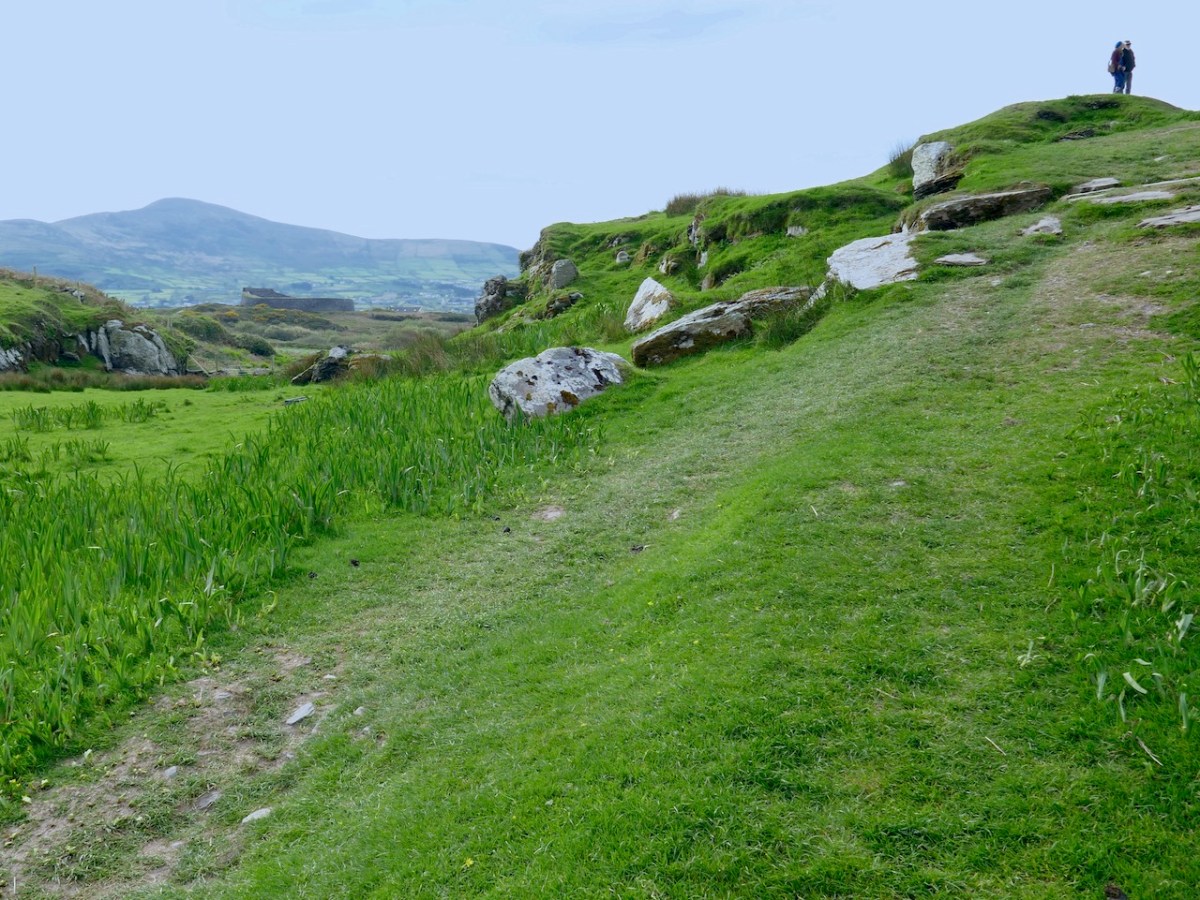
We’ll start with Leacanabuaile, pronounced Lacka – na – boolya and meaning the flagstones of the enclosure, or possibly the flagstones of the summer pasture. Large flagstones, or leacs, do litter the way up to the fort.

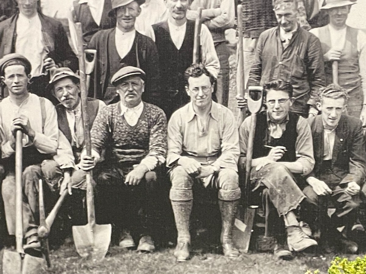
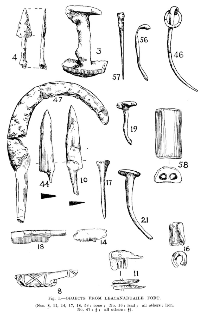
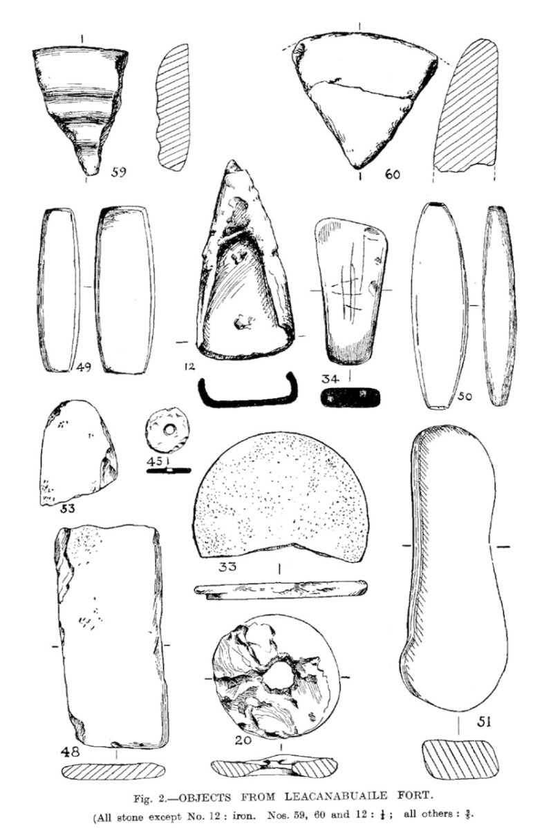
Leacanabuaile was excavated in the summers of 1939 and 1940 by Sean P Ó Ríordáin and J B Foy. Ó Ríordáin was a revered Irish archaeologist and his book, Antiquities of the Irish Countryisde was our text for first year in the Archaeology Department at UCC, where he had been the professor before O Kelly. That’s Ó Ríordáin in the middle, below at the Lough Gur dig in Limerick, with O Kelly furthest to his left. As an aside, he was married to Gabriel Hayes, the sculptor – one of her major works is mentioned in this post. She did the drawings of the finds, which you will see further down.

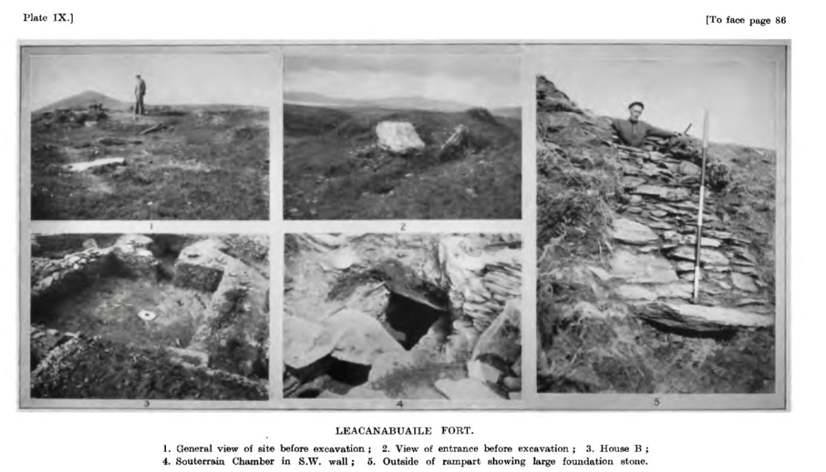
For most of the following, and all the quotes, I am taking the information from the excavation report, which was published in the Journal of the Cork Historical and Archaeological Society for 1941. The marvellous CHAS has made their old journal available online, and this report is here. Leacanabuaile is situated in the middle of a concentration of forts, close to Caherciveen and all within a  mile or two of each other, and in the case of Cahergal, in clear sight, as you can see below.

Before the excavation it was in very poor condition – the walls had collapsed and it looked more like an earthen ringfort, with just traces of the stone wall showing through here and there. It was so unremarkable, in fact, that it was left off the Ordnance Survey maps. 

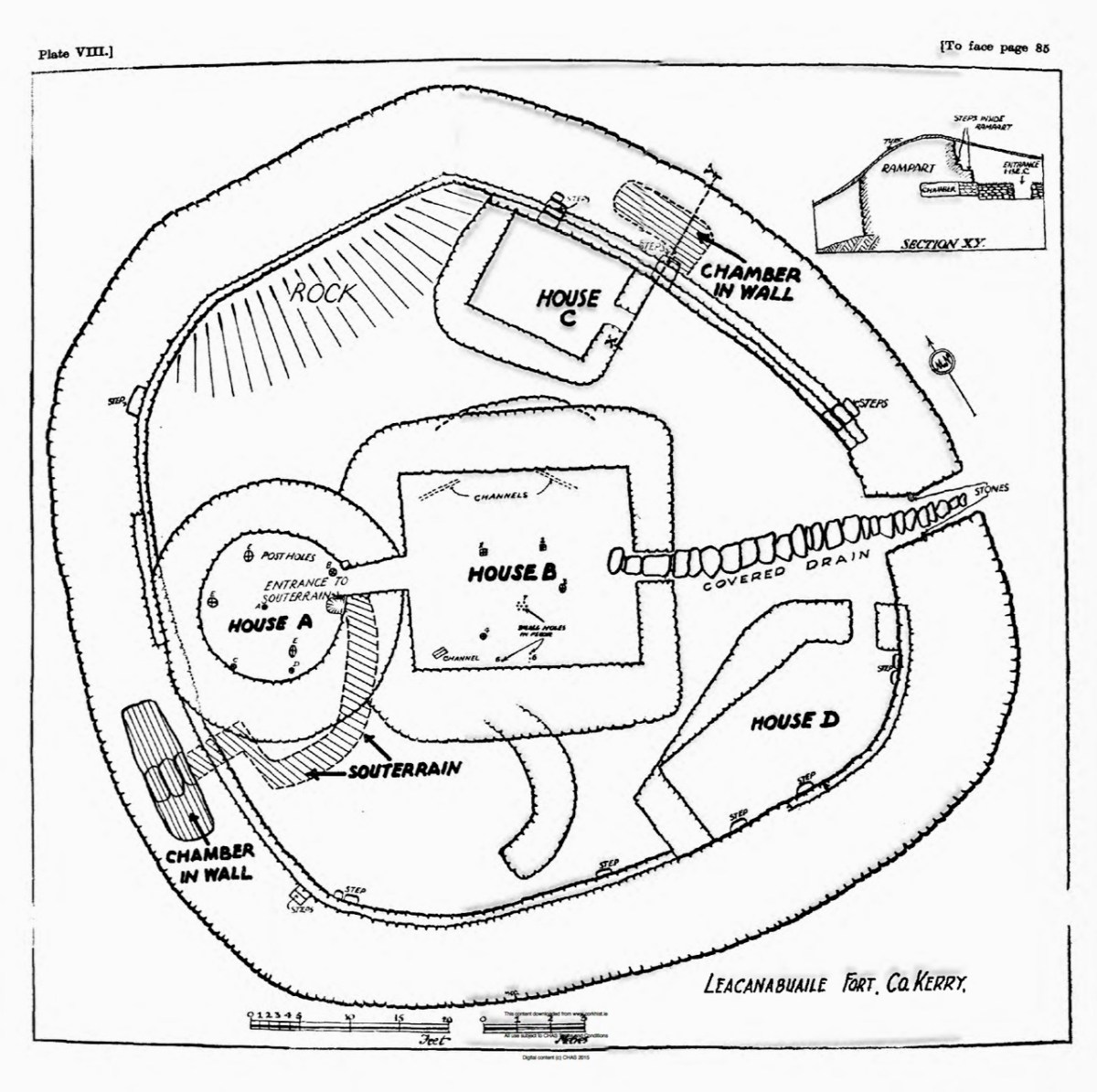
The excavation uncovered not only the massive nature of the walls, but four houses inside, a souterrain, and mural chambers. This was before the commonplace use of radiocarbon dating in Ireland so the usual way of dating a site like this was through the finds and through comparison with similar sites. Using these methods, Ó Ríordáin says:

 The close dating of the Leacanabuaile site is not possible, but it may be noted that the finds correspond to material from sites dated by more significant objects to the ninth and tenth centuries AD.

The fort is not quite round and this was due to the undulation of the rocky hilltop on which it was built, the builders having to work around the steep slopes. The souterrain and the mural chambers were built at the same time as the walls. 

Of the houses inside the fort, three were built at the same time as the fort – round house A and two others which now lie under house B. Houses D and C were the last to be built.

In regards to the material cultural objects found during the excavations, and what they reveal about the inhabitants, Ó Ríordáin states

Elaborate brooches and glass objects, for instance are notable by their absence. Bronze is rare and there is no evidence of its having been worked on the site – crucibles are not forthcoming: iron working is evidenced by the iron slag found. On the other hand, the inhabitants were probably quite well provided with the more vital necessities of life. They had . . . a dual source of supply – the sea and the land. The plough-sock and the querns show show that grain was cultivated, the bones show that domestic animals were kept and eaten, while the fare was added to by the collection of shellfish from the coast and by the capture of birds, particularly sea-birds.

The sea birds included heron, duck, goose, cormorant, puffin and razorbill, while the domestic animals were ox (most numerous), sheep, and pig. Also found were evidence of horse, dog and red deer.

What we see on the ground today is the result of conservation work undertaken by National Monuments as Leacanabuaile was taken into state care. Ó Ríordáin describes how 

. . .the walls of the fort and the enclosed buildings were restored by building up, to some extent, the destroyed portions, so as to provide a level top surface which should stand the better the ravages of time. The lines of the old work have been carefully followed and the new building has been marked off from the old with a thin line of concrete. . .[stone objects] were set in cement in House B, so that they may be conveniently inspected.

So – what you see now at Leacanabuaile is as a result of the excavation and the subsequent conservation by National Monuments. Ó Ríordáin remarks, the skill with which the workmen used the material to build in the old manner is a good example of the survival of a technique in a given environment. That reminded me of our own experience with Building a Stone Wall. I also regretted that I hadn’t read the report before I visited so that I could find that thin line of concrete and take a photograph of it for this post. 

We’ll take a look at Cahergal next, also excavated, this time by our friend Con Manning in the 1980s and 90s. This is a more complex site and the report is much longer so it will be a challenge to summarise in a blog post, but I’ll do my best. 

All four posts in this series can be found here.

Bantry Library

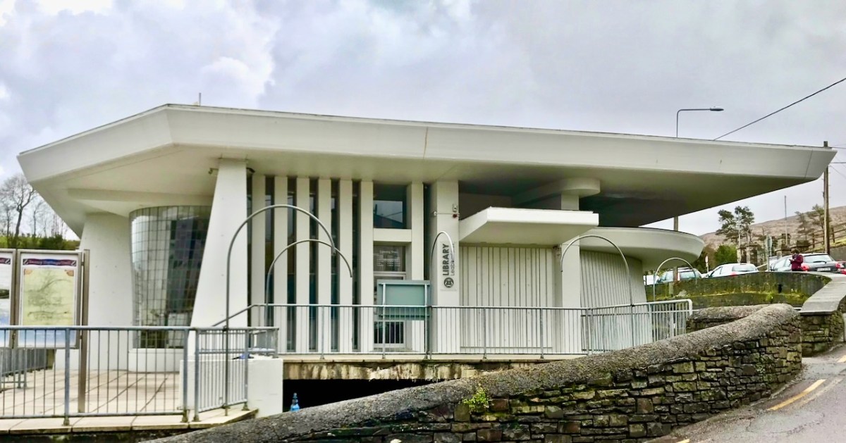
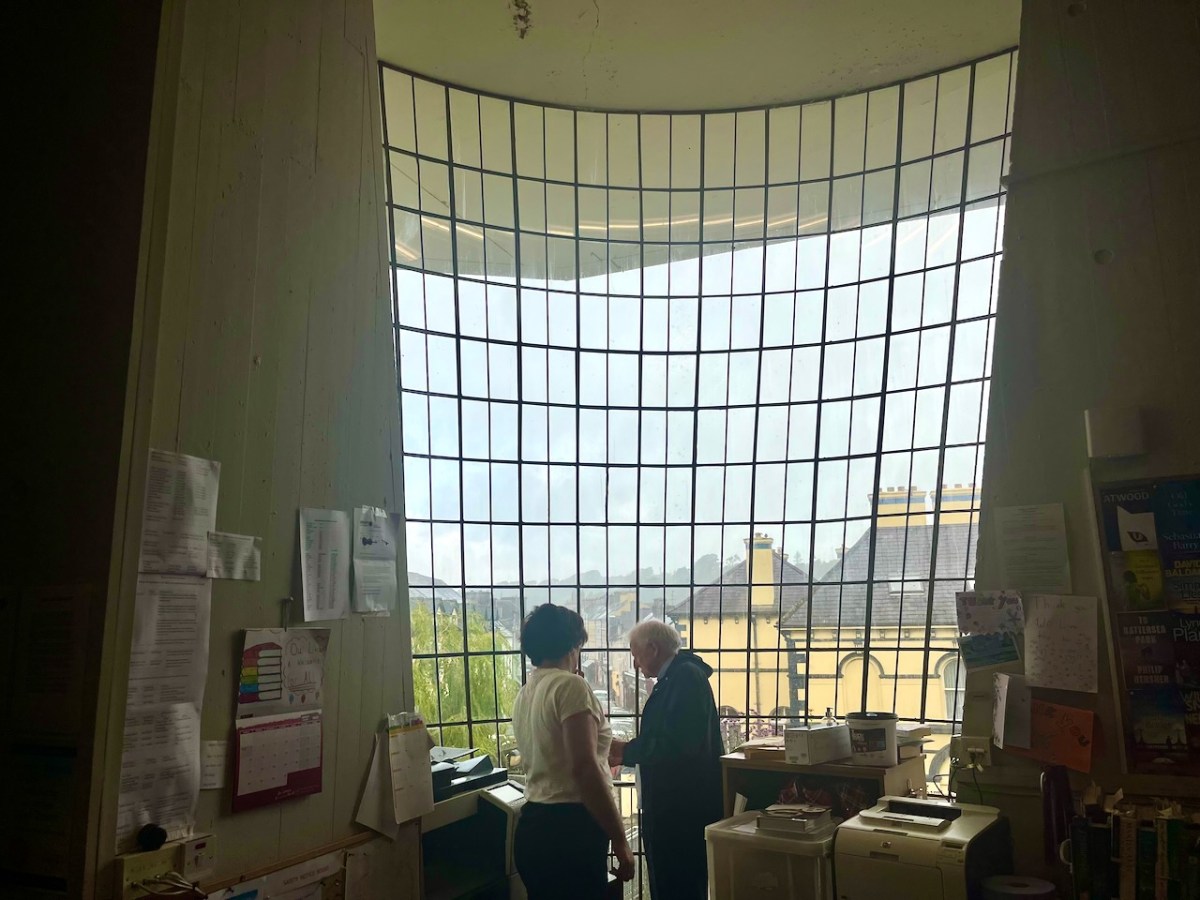
In last week’s post I described a unique type of boat that was connected with Bantry, here in West Cork. Today we are also focussed on Bantry, but this time on architecture: the Public Library, which is one of the most unusual and innovative buildings from twentieth century Ireland.
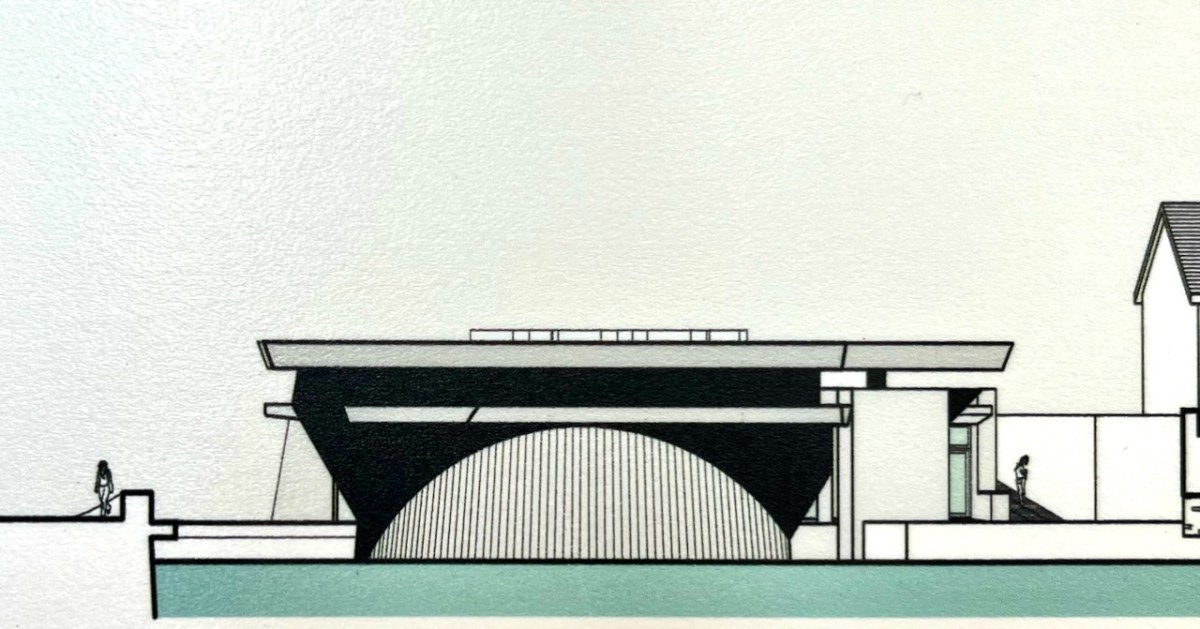
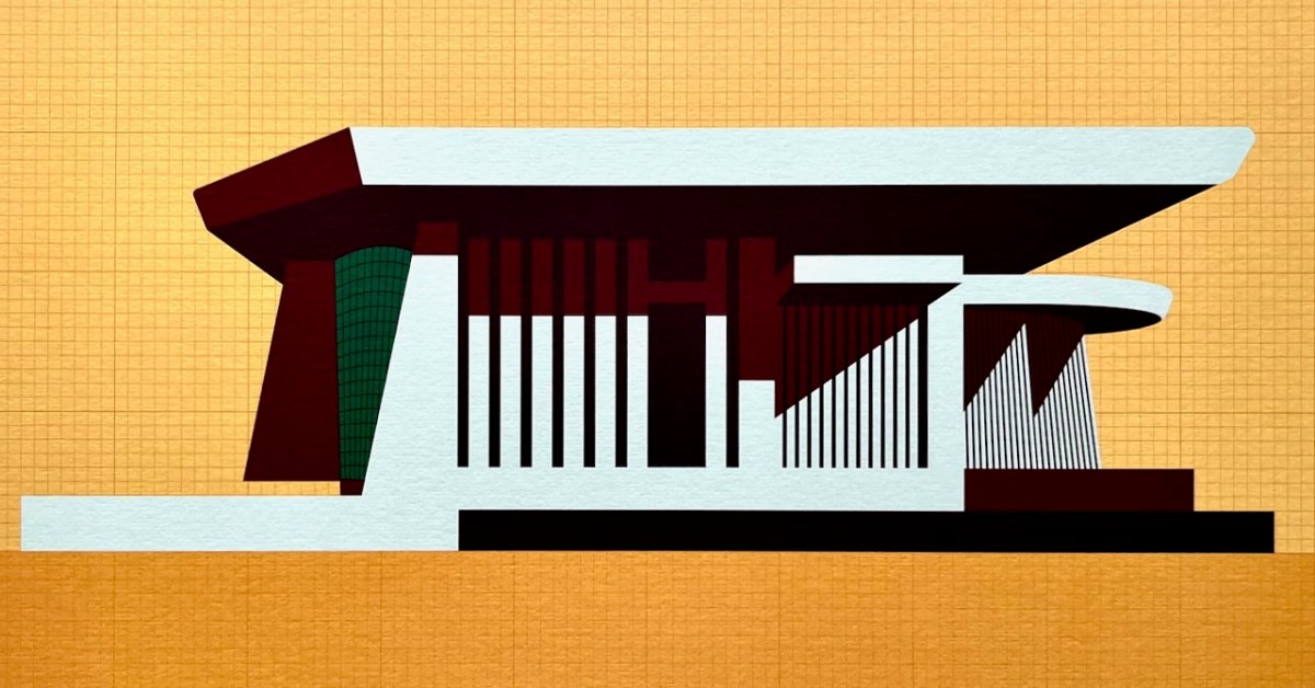
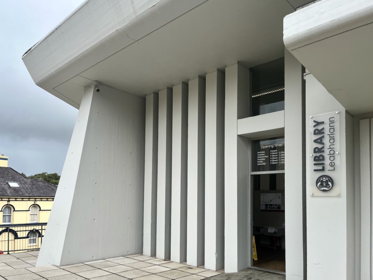
Here is the building as we see it today. The header is a limited edition print, a collaboration between Dermot Harrington of Cook Architects and Robin Foley of Hurrah Hurrah celebrating the upcoming 50th Anniversary of the completion of Bantry Library in 1974. For me, the print captures perfectly the iconic graphic of this most unorthodox design.

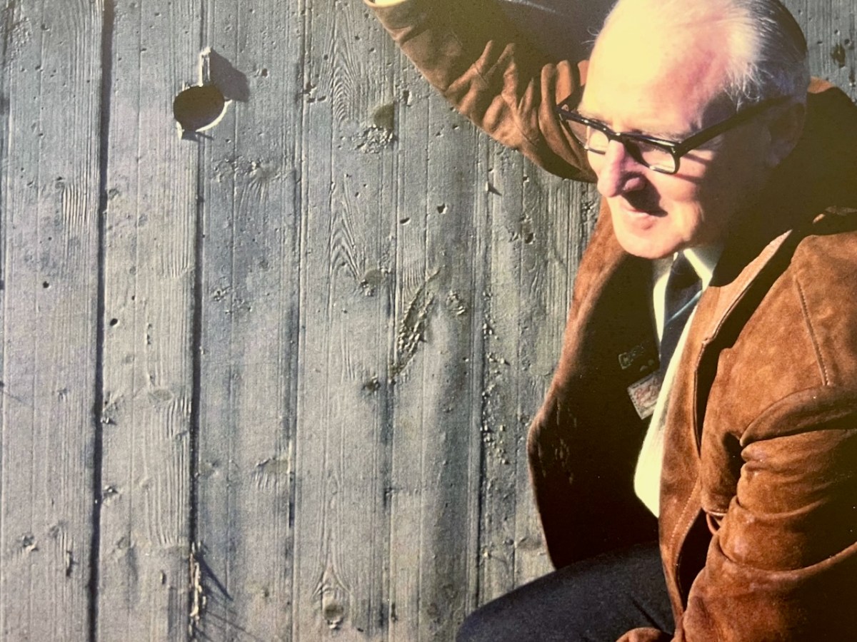
The Library was conceived by Patrick McSweeney (above) – Cork County Architect between 1953 and 1975. He deserves a post of his own one day, as he was responsible for some outstanding buildings in the county. Two of his assistants in the Architect’s Department at the time were Brian Lalor and John Verling. Both had a hand in the genesis of the Library. Interestingly for us, McSweeney, Lalor and Verling were all living around Ballydehob in those days – it was a swinging village!

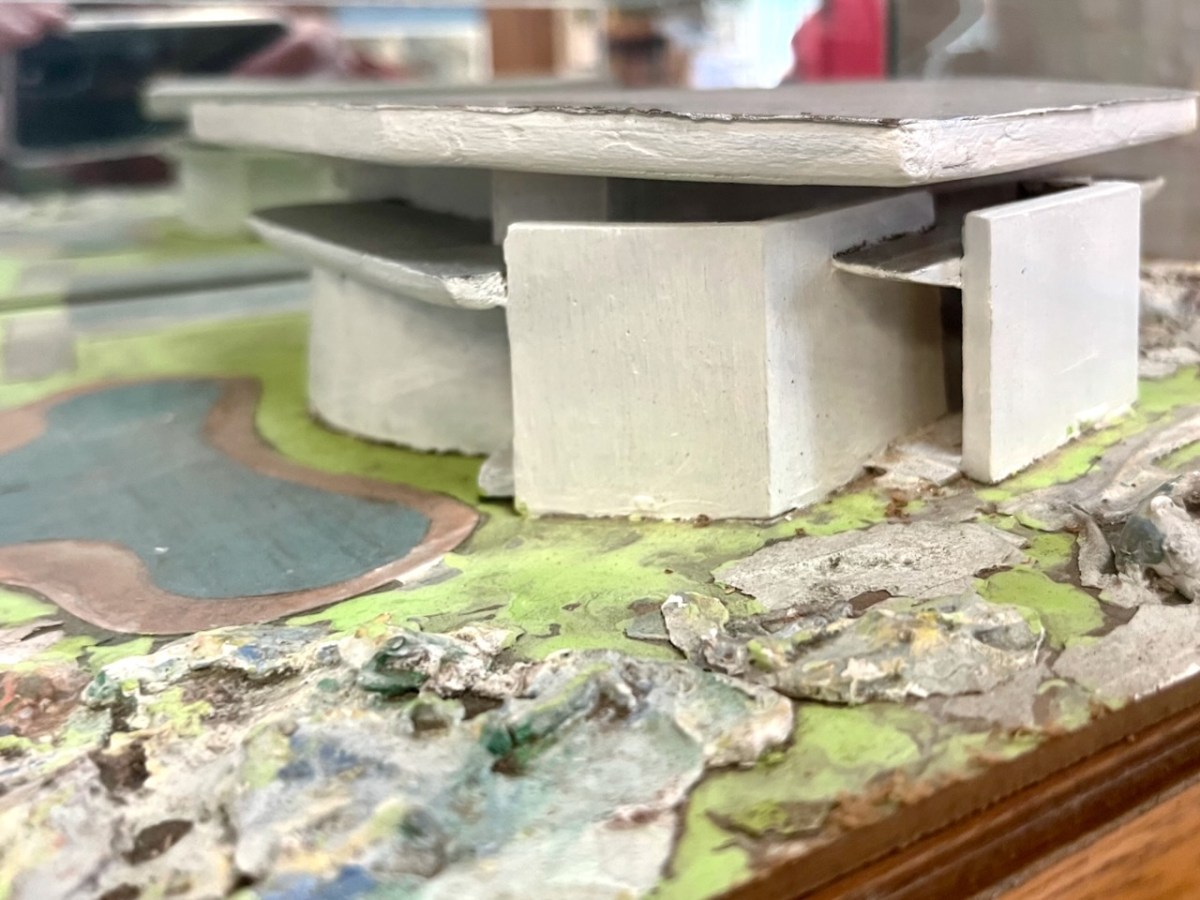
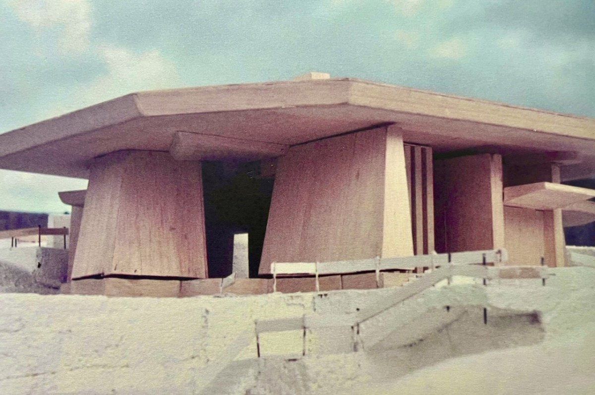
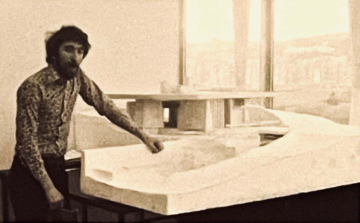
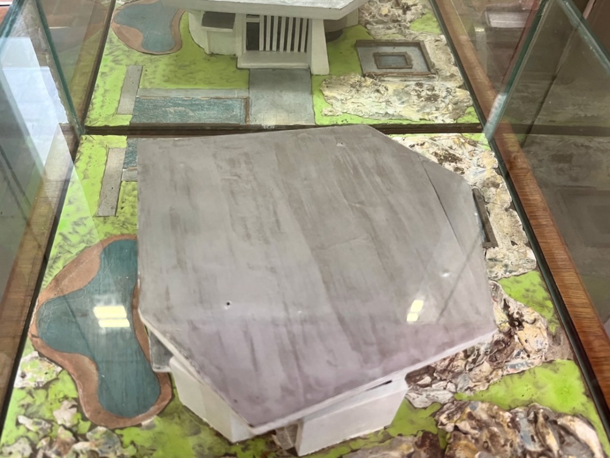
In the era before computers were universal in architects’ offices, everything was drawn by hand – or modelled. Brian recalls that Pat (McSweeney) called him into the office one day, handed him cardboard, tape and scissors, and instructed him to make a model of a building shaped like a Bronze Age dolmen. And he wanted it made in a hurry! It could well have been the one shown above – which still exists. Remarkably, although this model was made in the early 1960s, the building that resulted in the 1970s was very similar in form. Later, John Verling produced a balsa-wood model upon which the design production drawings were based:

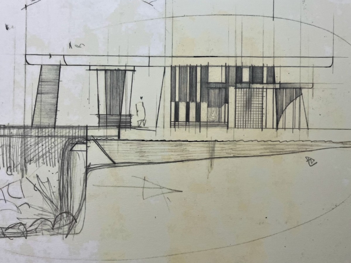
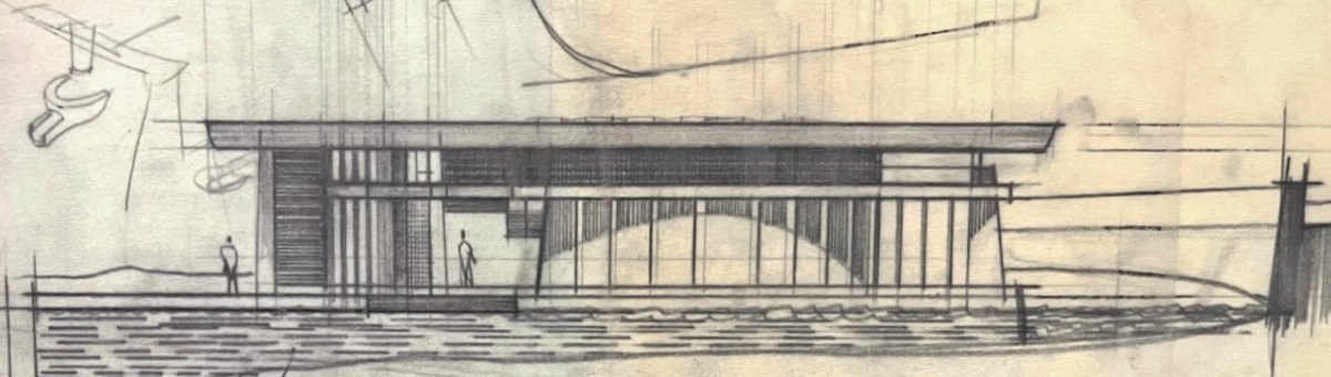
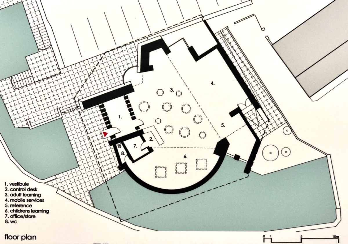
That’s John Verling, above, with his model. He and his wife, Noelle, are the subjects of the current exhibition in the Ballydehob Arts Museum (click the link). Following are some of the design sketches carried out by Harry Wallace who was leading the team in County Hall, and detailed drawings of the building that eventually ensued.

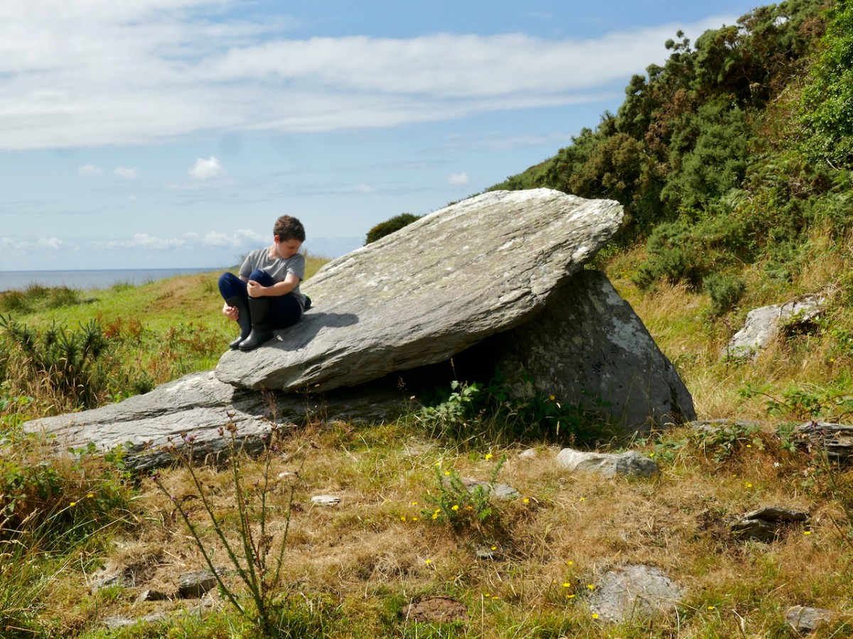
Let’s look a bit further at the early concept work, especially that first model. It’s said that McSweeney was inspired by a ‘Dolmen’. In fact we would today call that type of early megalithic structure a ‘Wedge Tomb’ or a ‘Portal Tomb’. At its simplest, this is a large flat stone slab (or slabs) supported on vertical stone slabs: it was probably a burial chamber, perhaps with its opening facing the sunset at a particular solar event. The closest such tomb structure to Ballydehob is the one featured in Finola’s post today. I wonder if Pat McSweeney was aware of this local one? He would have certainly been aware of the striking example at Altar, further west on the Mizen Pensinsula.

Another view of that very early model demonstrates how the roof shape echoes the lines of a portal tomb slab: look at this further example from the Mizen, at Arderawinny:

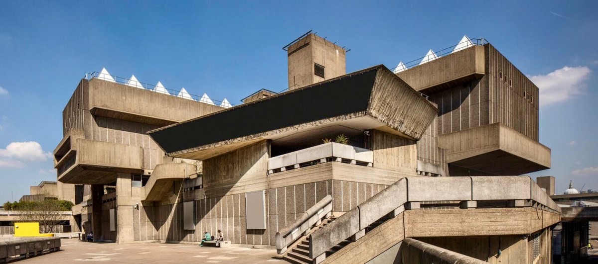
Returning to the twentieth century, and the Bantry Library project, construction posed many problems, using techniques which might have been considered at the leading edge of architecture in its time and place. Across the sea similar experiments were taking place. I was at the centre of them! I completed my architectural education in the late 1960s and went to work for the Greater London Council. I saw going up around me on the South Bank of the Thames a development which included the Hayward Gallery (below): its design (described as ‘brutalist’), earned it the nomination of the ugliest building in Britain when it opened!

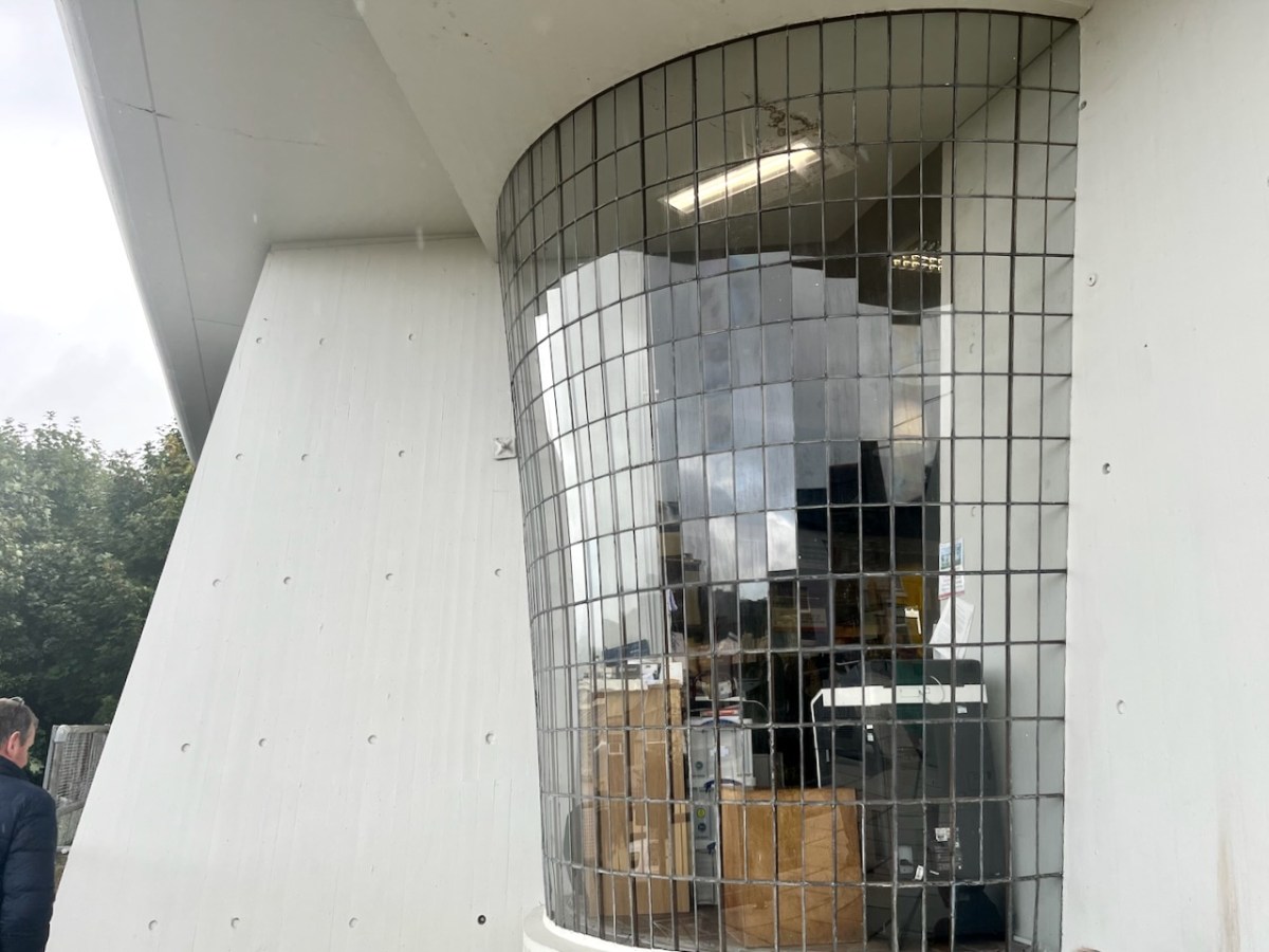
Larger in scale, this complex exhibits some of the features we see in Bantry: shutter-marked mass concrete, frameless glazing, bold overhanging roof planes… The Library roof cantilevers six metres in one part of the building.

The status of this building as an unique example of modernist architecture in Ireland has recently been recognised with a Heritage Council grant of over €250,000 to carry out refurbishments to some of the major elements.

. . . As Bantry Library approaches its 50th anniversary, we are committed to safeguarding this important building. As a protected structure within an Architectural Conservation Area, Cork County Council recognizes its responsibility to preserve and protect Bantry Library for future generations. The conservation works will take place during 2023, and we look forward to seeing the library restored to its former glory . . .

Tim Lucey, Chief Executive, Cork County Council

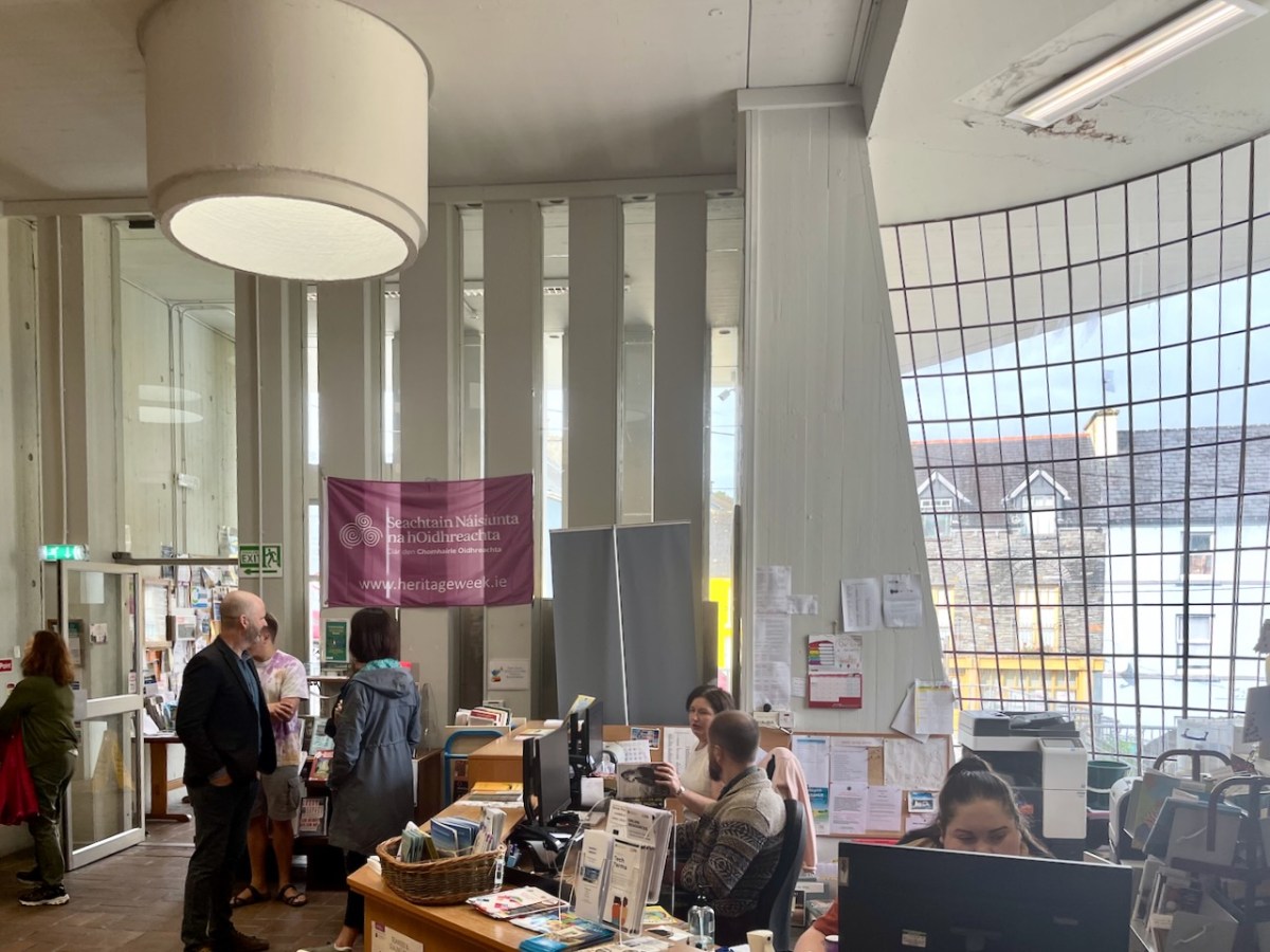
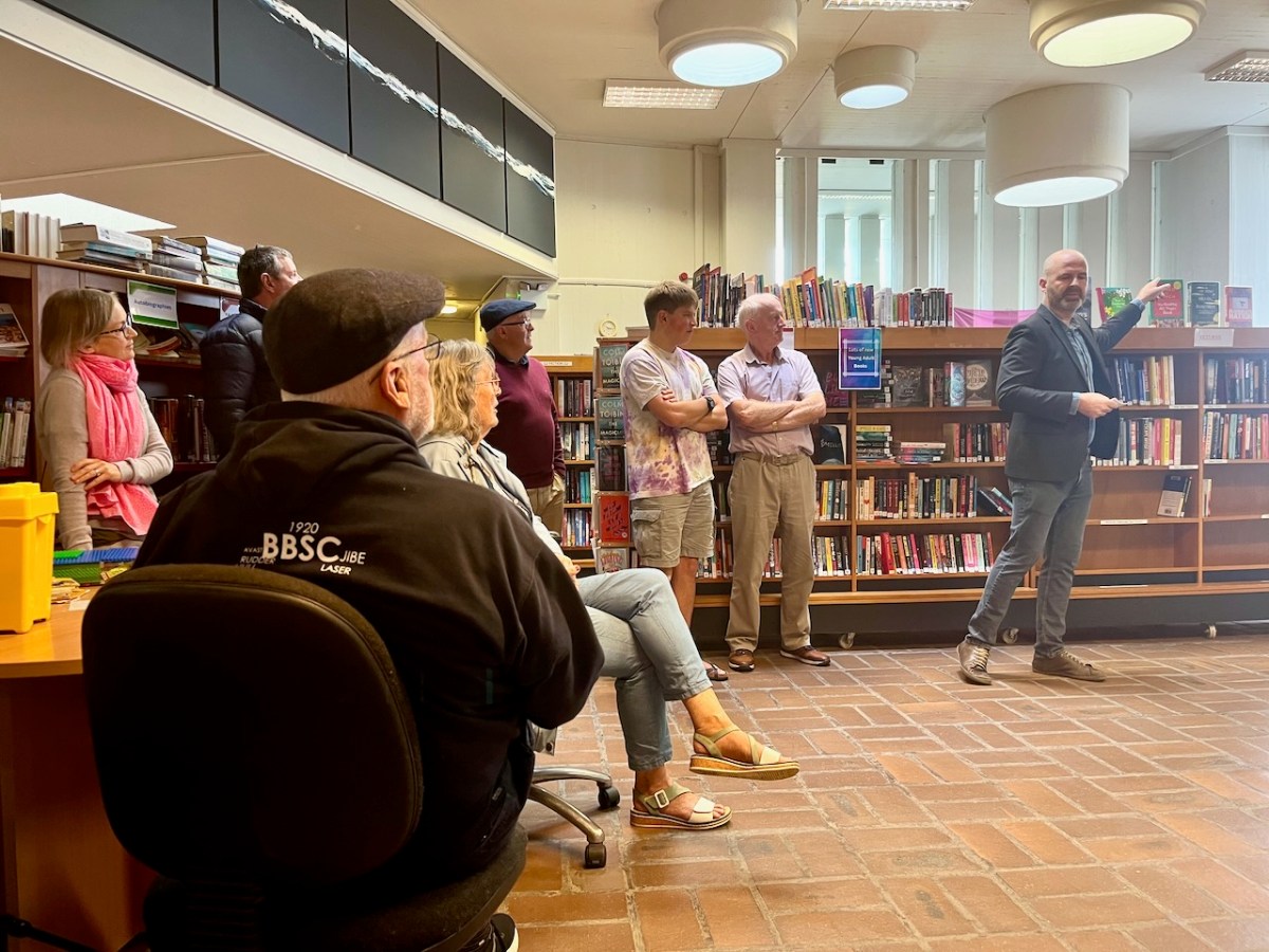
A Heritage Week talk was given by Dermot Harrington of Cook Architects at the Library (below). It was a most informative review of the building and its history.

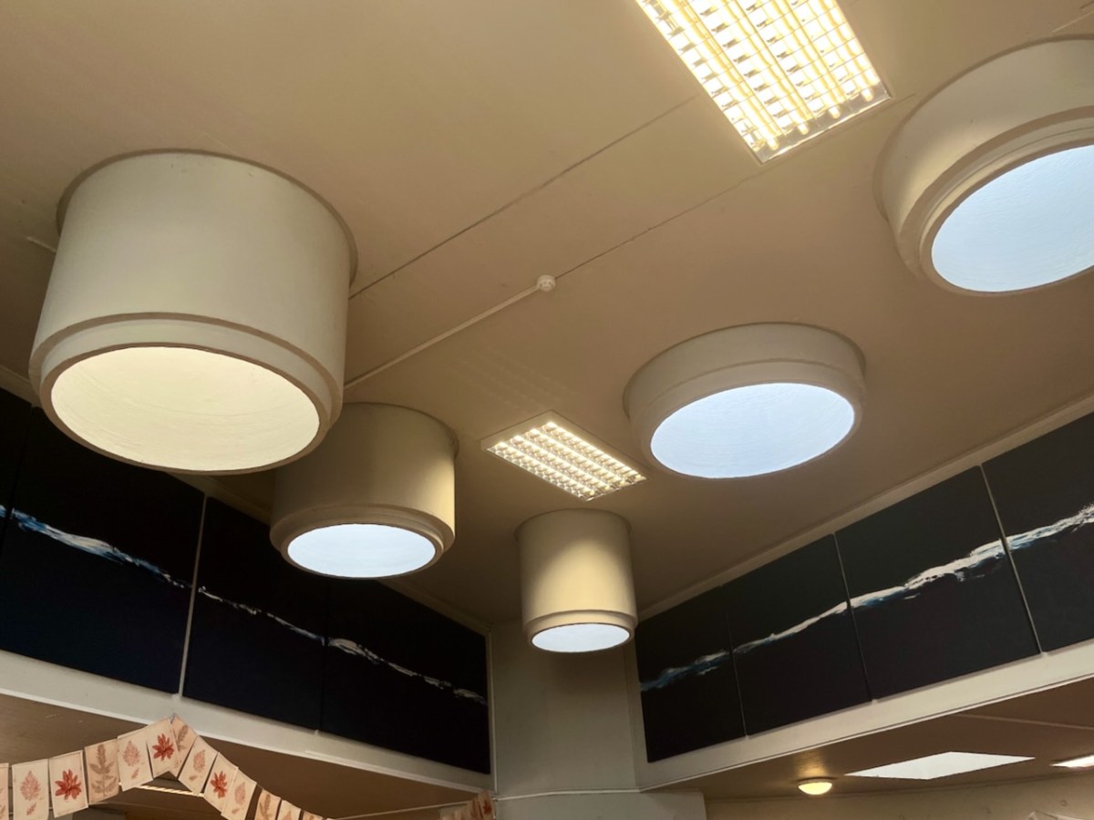
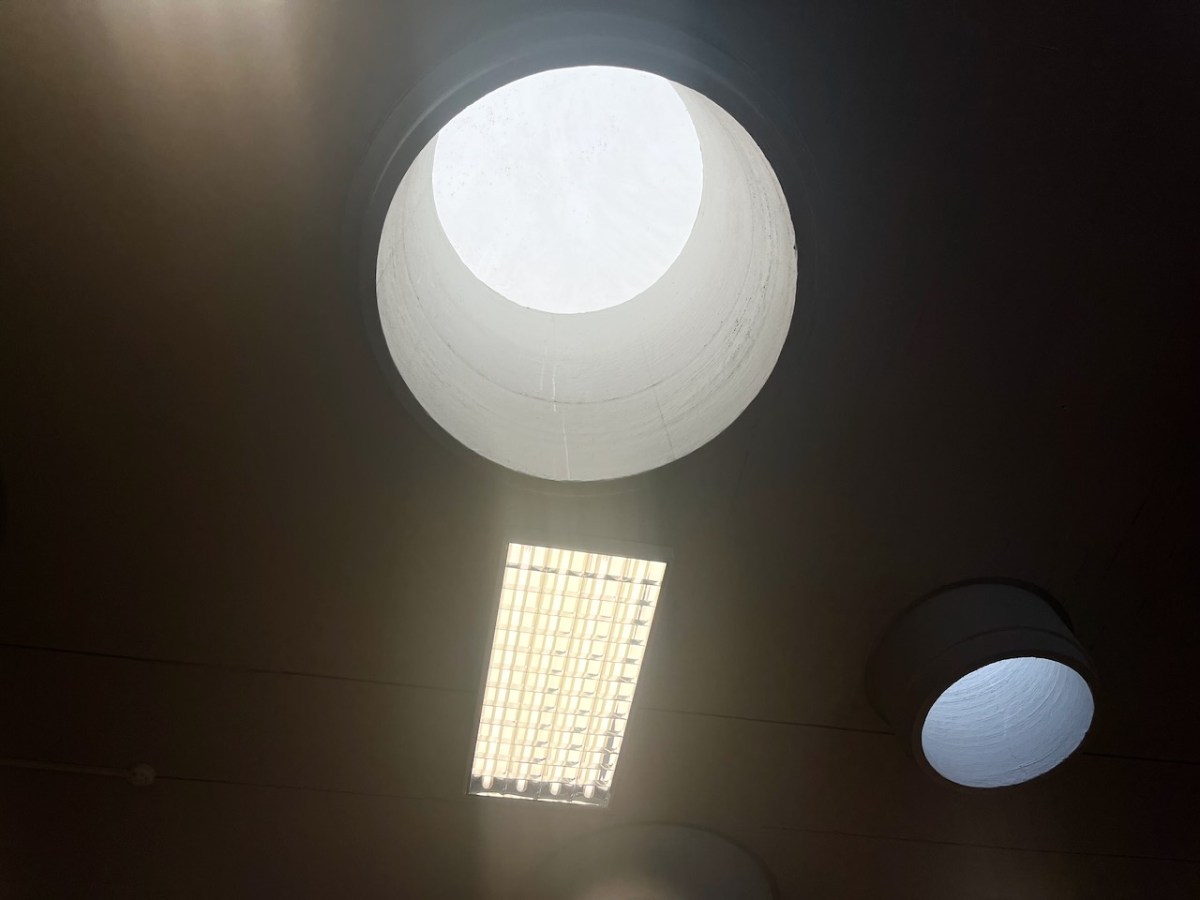
Most of the original features of the building have survived in reasonable order. I was impressed with the ‘pipe lights’ which draw daylight down into the centre of the main room:

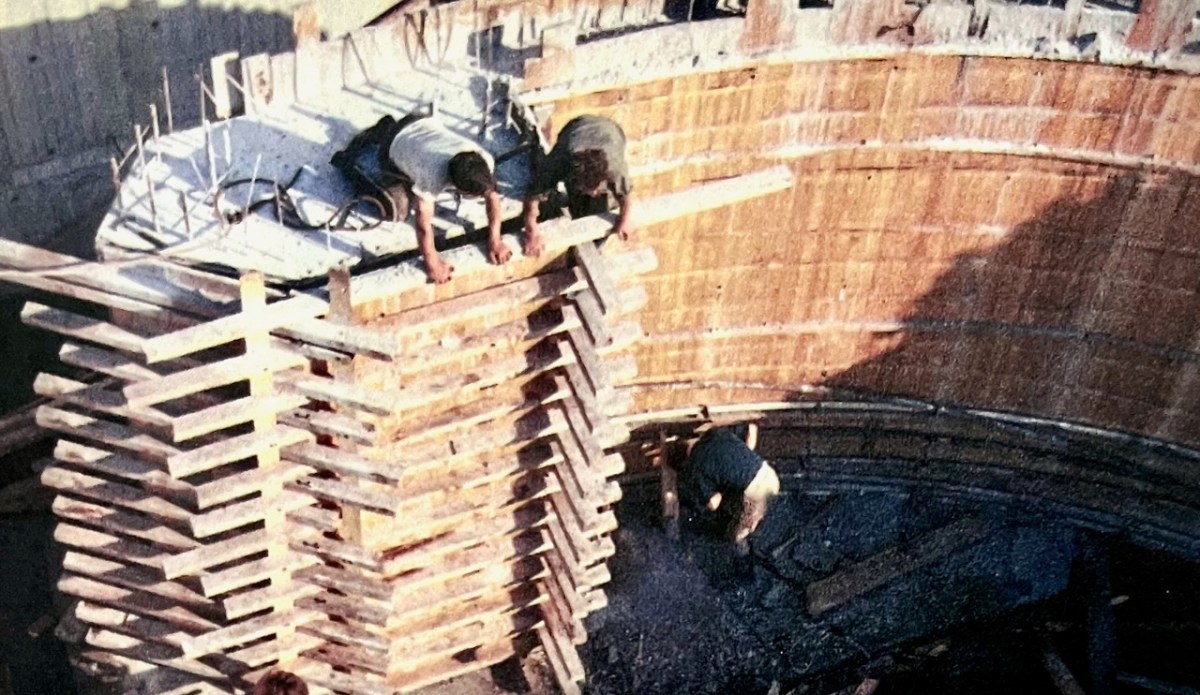
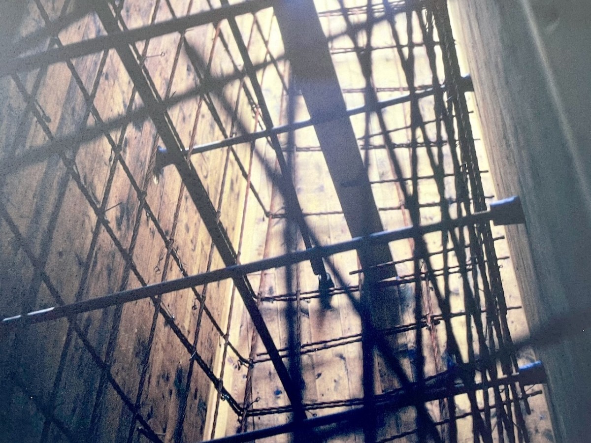
We also learned about the complexity of the building construction, and saw photographs of the steel reinforcement and board shuttering from fifty years ago:

Dermot Harrington pointed out that the building was effectively put together by only five men, under foreman Gerry O’Sullivan, who was just 27 years old. Neither he or any of the other crew had ever tackled anything like this before!

The Library is central to the life of the town, and still serves its original purpose. It’s eye-catching (perhaps sensational is a good word?) and very much alive and relevant. We look forward to the completion of the current works, and suitable festivities to mark the fiftieth birthday of this creative West Cork project.

Thank you to the Library for the information they provided and the display boards that are currently on show. Many of my illustrations are taken from these resources

Mizen Megaliths 6: A Heritage Hero

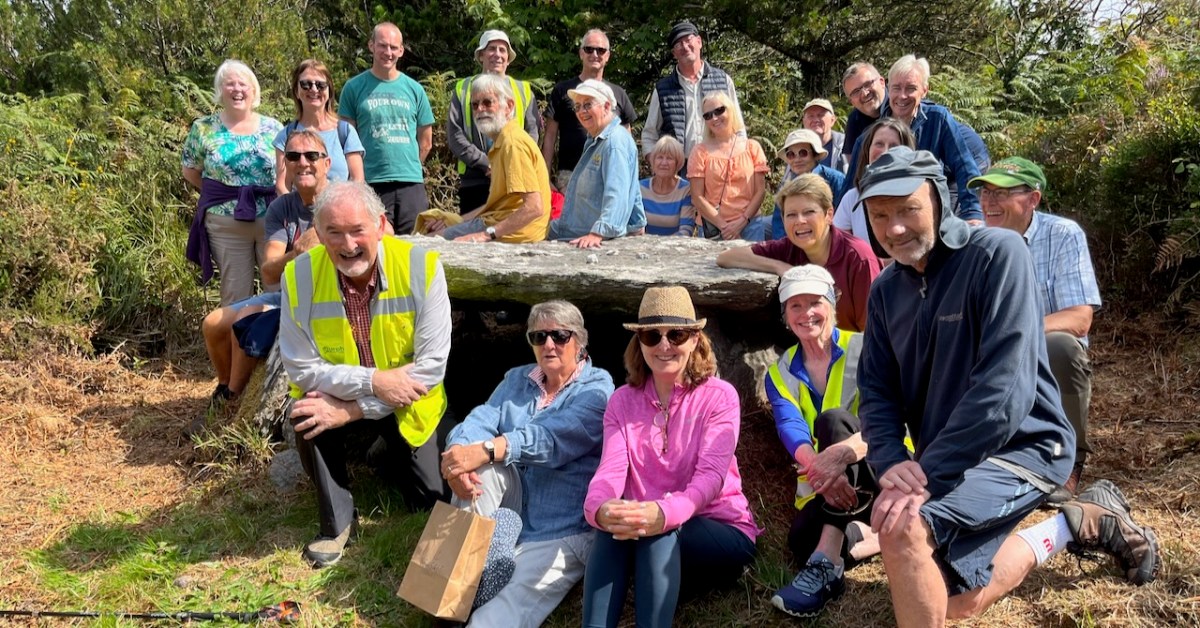
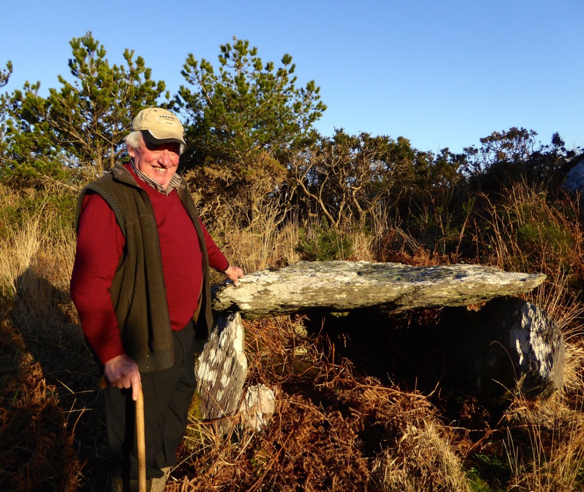
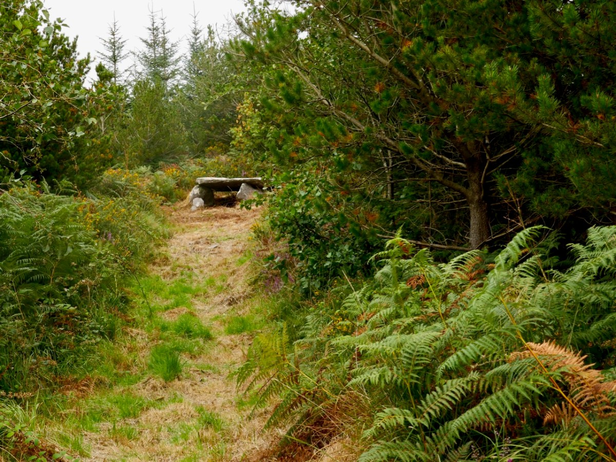
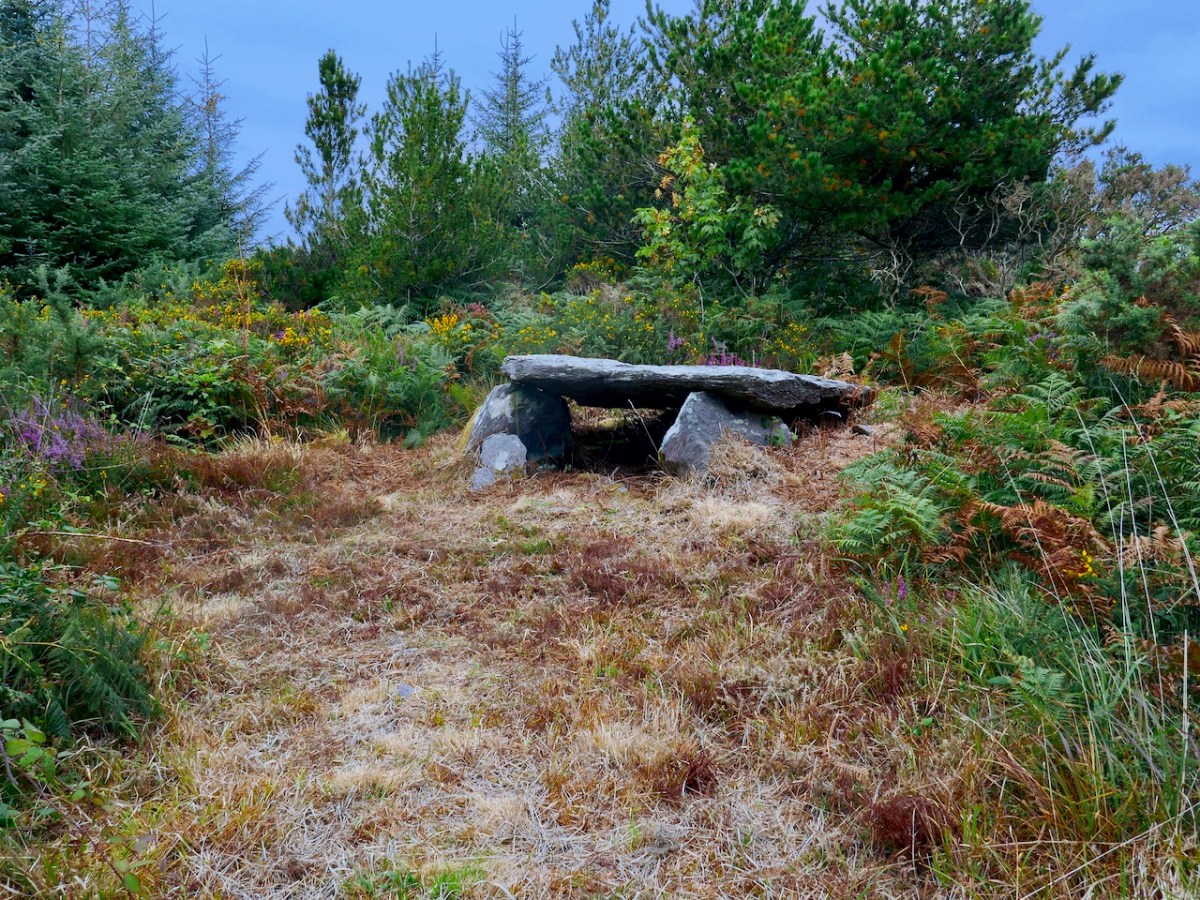
During the Ballydehob Summer Festival this year the organisers scheduled a Walk to the Wedge Tomb.  A lovely group signed up and we made our way up the newly-cleared path.

This wedge tomb, in the townland of Kilbronogue, is close to where we live. We were introduced to it way back in 2015 by the owner of the land, Stevie Lynch – see this post for an account of that meeting, and for more about wedge tombs in general. At that time, Stevie also brought us to a previously-unrecorded cupmarked stone on his land (below), which we subsequently submitted to the National Monuments records. 

Stevie’s attitude to the monuments on his land was exemplary. He promised that no harm would ever come to them while he was alive. “These ancient monuments don’t belong to me,” he told us, “they belong to everyone.” In that instant he became our Heritage Hero, and we loved seeing him at the Ballydehob Talks at the Vaults, which dealt with all aspects of local heritage.

Sadly, Stevie passed away earlier this year. So this Walk to the Wedge Tomb was an opportunity for all of us to honour the memory of the man who had treasured this megalith and designed a path to it for everyone. 

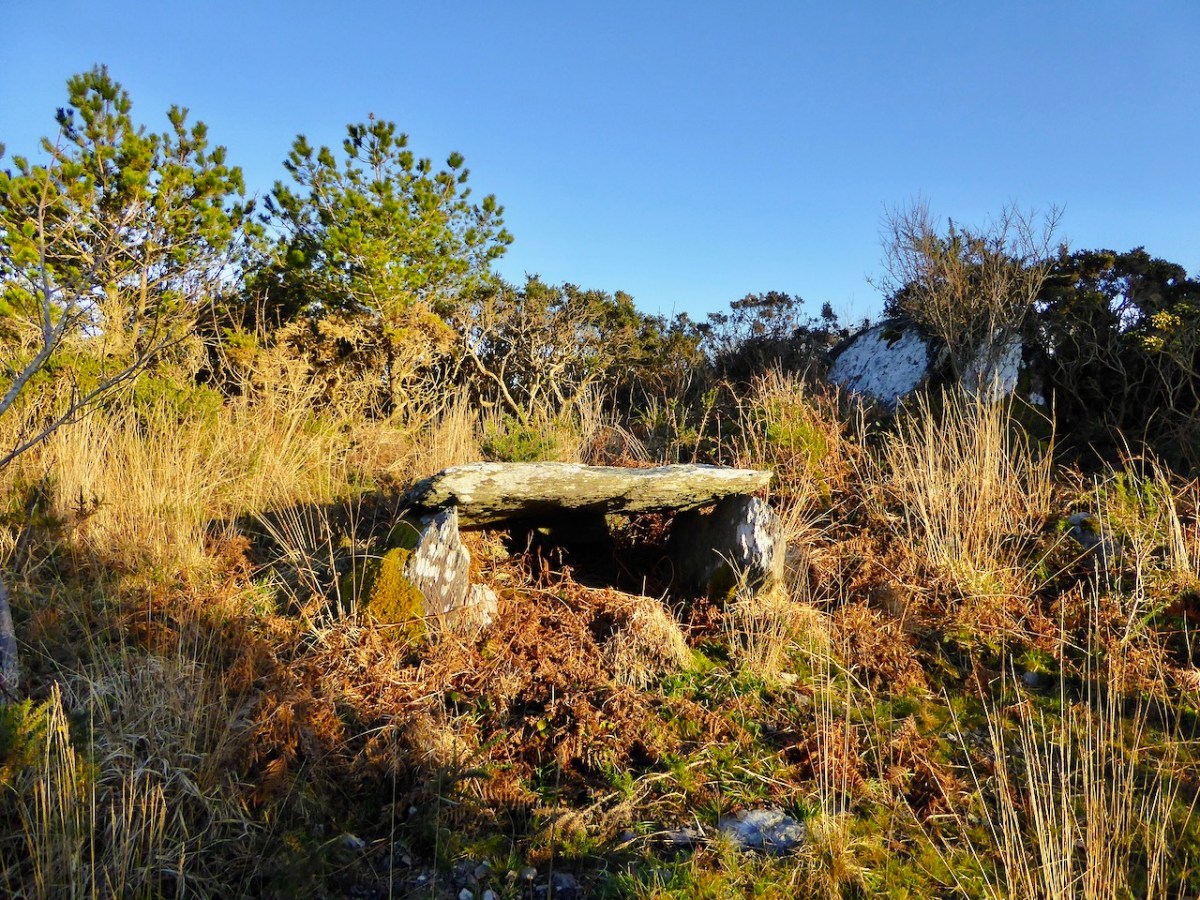
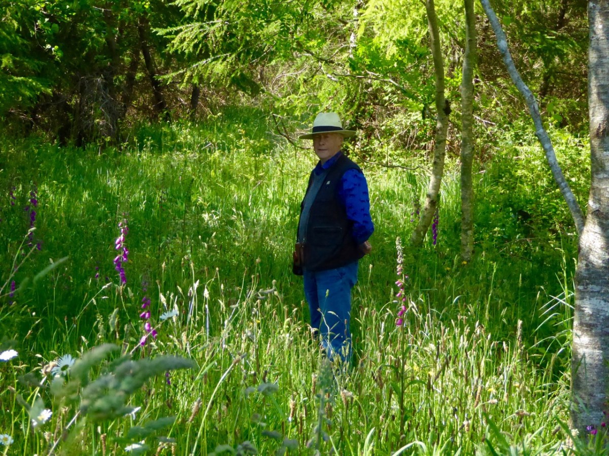
The walk up through Stevie’s plantation of native trees is beautiful. It can get quite overgrown in the summer (above), which only enhances the atmosphere, and it’s actually quite awe-inspiring to emerge at the top to the site of the tomb, sitting in a small glade.

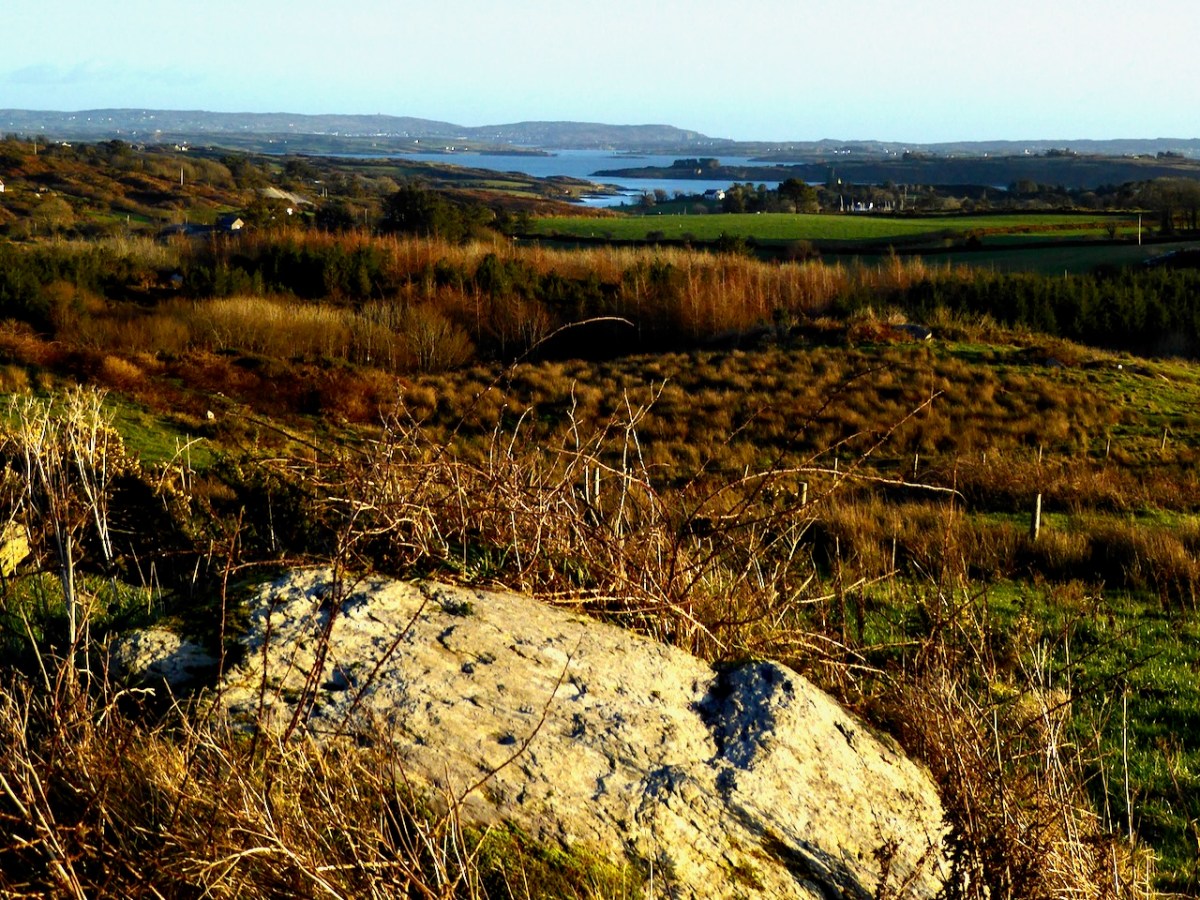
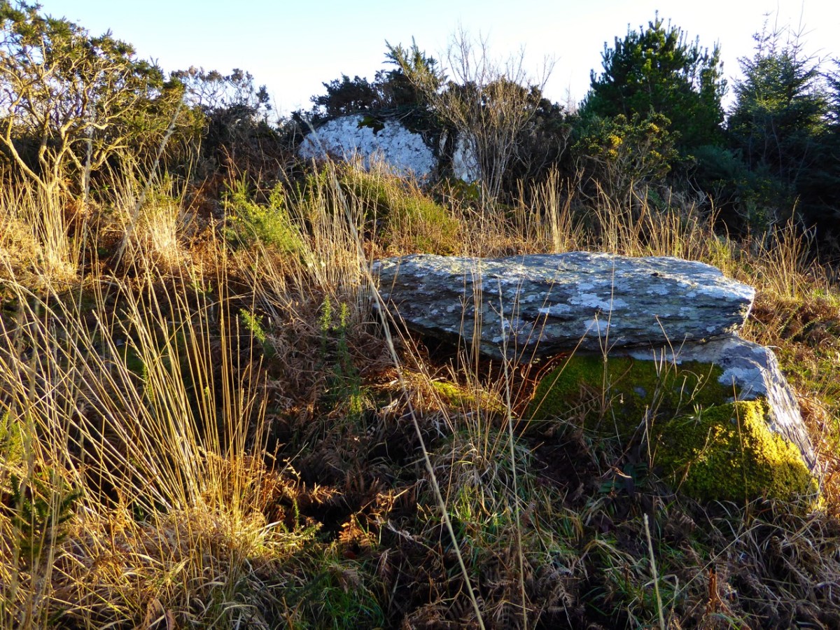
Kilbronogue is a classic wedge tomb, higher and broader at the opening, west, end, and oriented to the west. Some trees have come down, I think, in the last few years, because now there is a clear view to Mount Gabriel from the tomb. I suspect that there is also a view down the Peninsula to the Mizen Peak, although I can’t verify that due to the trees that surround it.

There’s a rock outcrop right behind the tomb (above) and it was probably the source of the stones that built it. Wedges are small megaliths and we can imagine them as the work of a local community or even family group. 

The burial rite was cremation, and they generally date to the Early Bronze Age, the time when Mount Gabriel was a source of copper for these early metal workers and farmers.

There is some folklore about it – here’s an extract from the Schools’ Folklore Collection:

There is a Dolmon also in Kielbronogue in a hill which belongs to John ORegan. There is a very big stone on top of three other stones. It weighs one ton. It is said that men lifted it. Some people say that Mass has been celebrated there, and others say a great chieftain of old was buried there.


DÚCHAS, SCHOOLS’ COLLECTION, ROSSBRIN

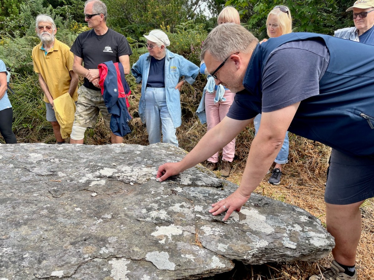
One of the findings at wedge tomb excavations is that white quartz often features as votive offerings, sometimes in the tomb and often in front of it. We had brought along a bag of white quartz pebbles, and each of us laid a pebble on the tomb as our own small thank you to Stevie, our Heritage Hero.

A Bantry Yole

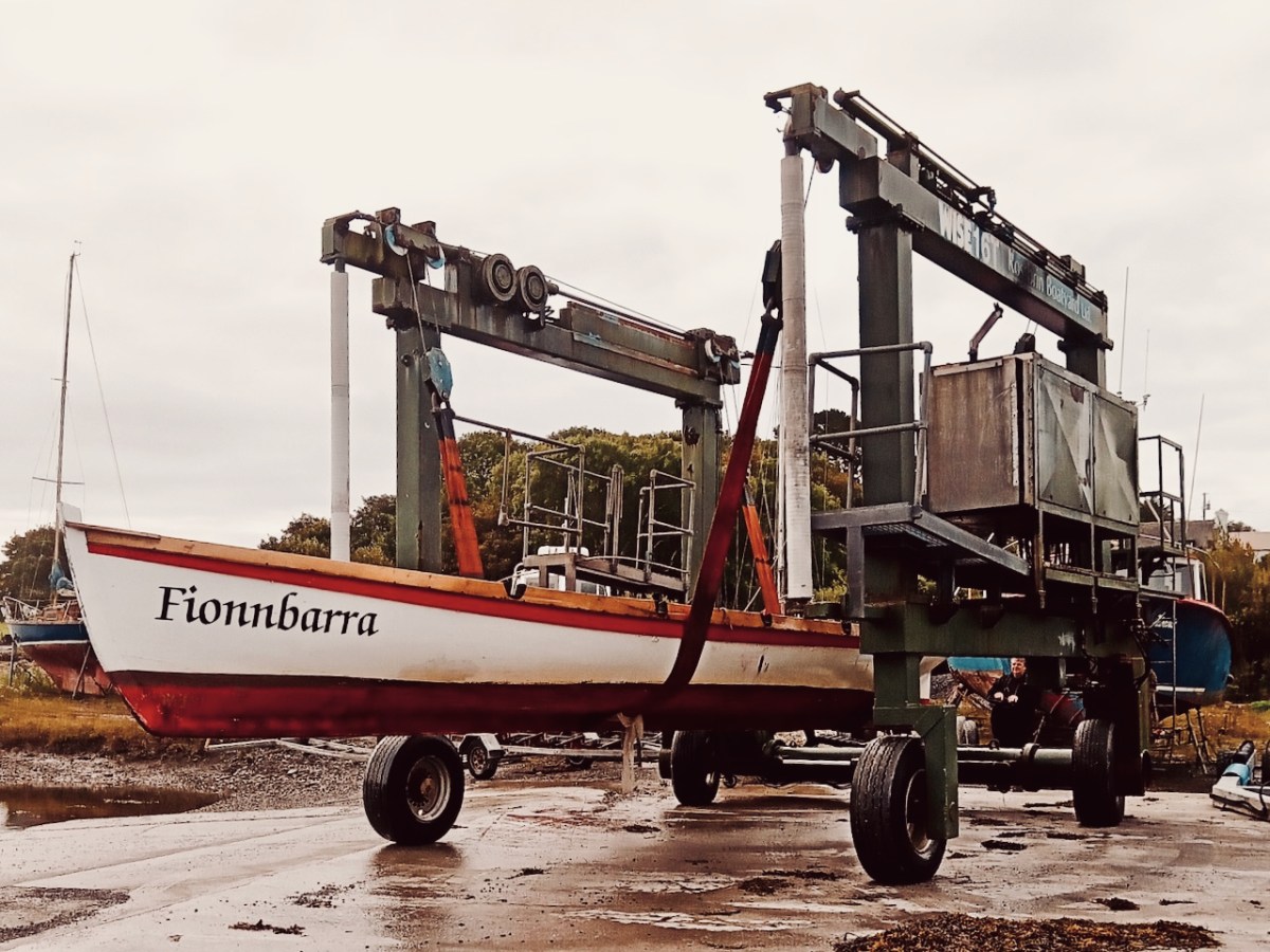
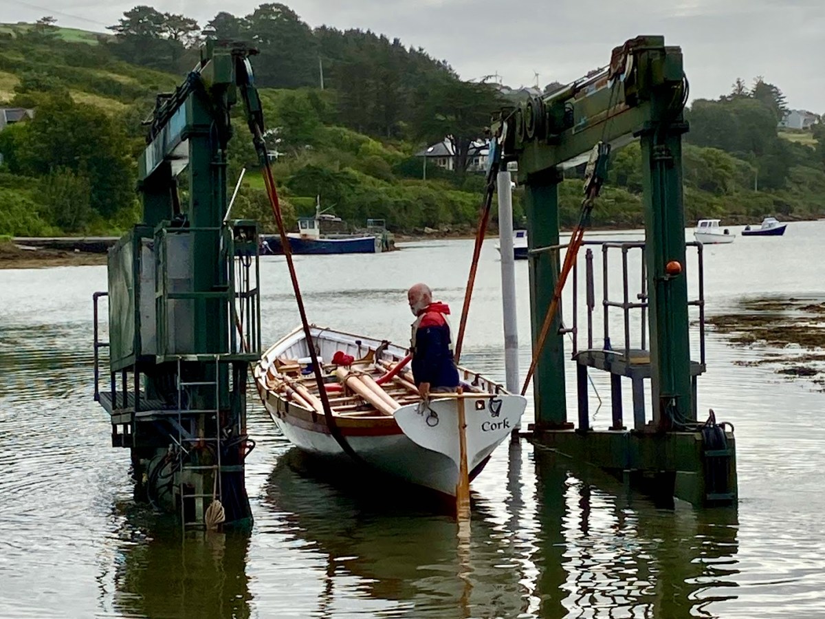
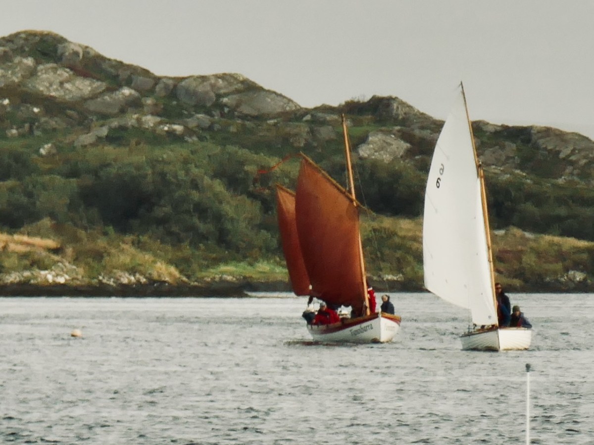
The importance of West Cork in world history was emphasised today at the Ballydehob Cruinniú na mBád (Meeting of the Boats). This annual event reminds us how busy our quay was back in the day when all the commerce of the village was based on the tidal waters. Finola wrote about the gathering in 2017. But today – 19 August 2023 – I had my eye out for a very particular vessel: Fionnbara.

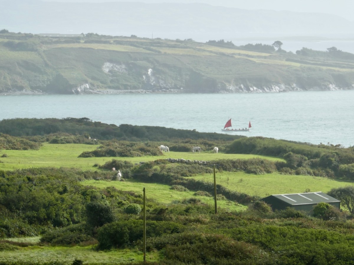
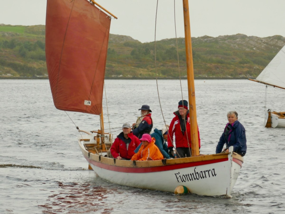
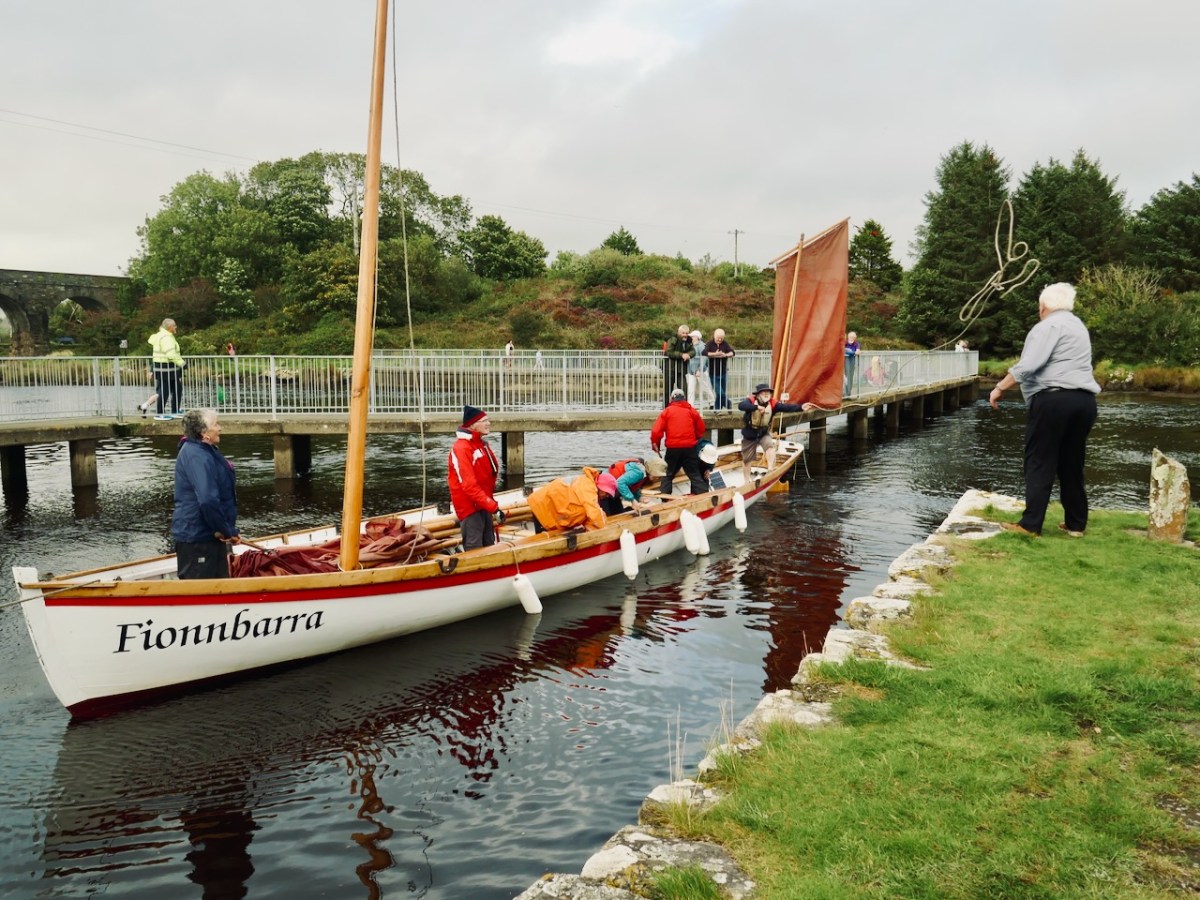
There she is – above – leaving Rossbrin Harbour today, bound for Ballydehob. And here she is being launched early this morning, using the boatyard’s lifting gear. Many thanks to Jack O’Keeffe – her Skipper – and Anne O’Keeffe for the great photos.

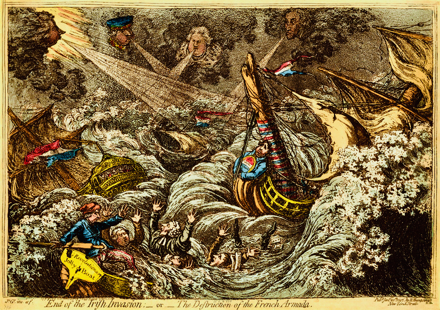
Above: ‘End of the Irish Invasion’ or ‘The Destruction of the French Armada’ by James Gilray 1797 (courtesy of the British Museum)
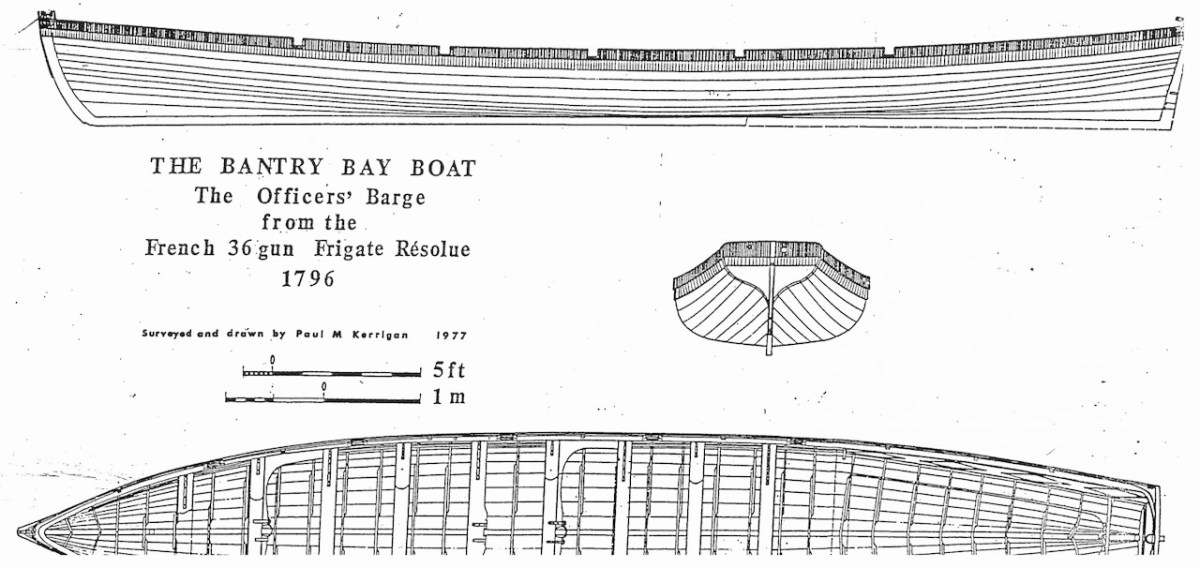
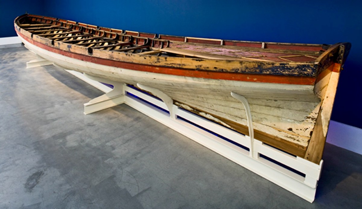
The boat is a replica – one of many around the world – of a craft which found its way to the shores of Bere Island – in West Cork – in 1796, after a disastrous escapade by the French navy, under the encouragement of Theobald Wolfe Tone of the Society of United Irishmen. A fleet of 43 vessels carrying 14,000 men headed for Bantry Bay intending to invade Ireland and declare it independent from Britain. Severe storms threw the ships off course and into disarray, and the opportunity was lost. During the chaos one of the French ships – La Résolue – lost her masts in a collision. Lt Proteau was sent in a ‘barge’ to find another ship to tow the frigate to safety, but instead he and his crew were driven ashore and captured. The ‘barge’ was taken as a prize of war and handed to the local Irish militia commander, Richard White of Bantry House. There it remained – gently rotting – for 148 years. In 1944 it was despatched to the National Maritime Museum in Dún Laoghaire and – after conservation – is now displayed at the Collins Barracks Museum. The ‘Bantry Bay Boat’, ‘Bantry Skiff’ or ‘Bantry Yole’, as the unusual craft is variously known, has attracted considerable attention and has inspired many boatbuilders to produce copies.

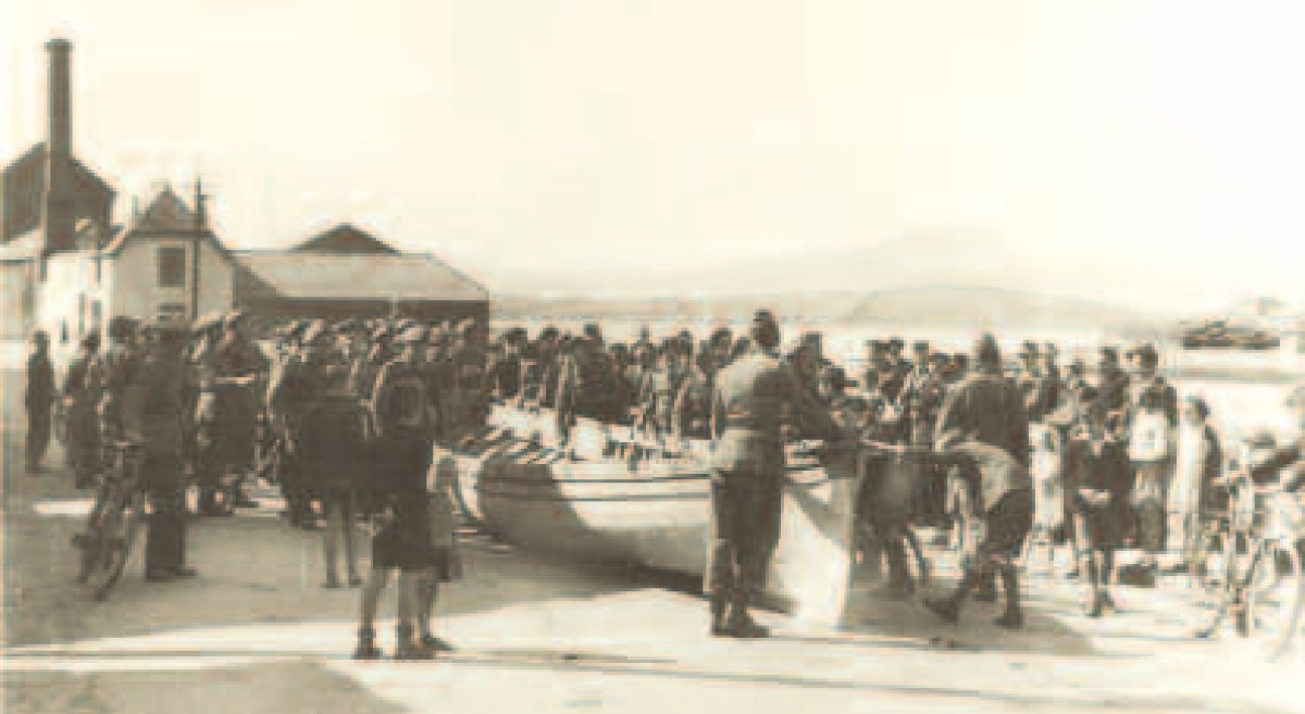
Below: upper – the Bantry Boat being transported from Bantry Railway Station to Dún Laoghaire in 1944; centre – plans of the original craft drawn by Paul Kerrington in 1977; lower – the original Bantry Bay Boat on display in the Collins Barracks Museum today (courtesy History Ireland – article by Lar Joye July/August 2018)
One of these copies is the Fionbarra, which arrived in Ballydehob today. The original was 11.64 metres long, 2.05 metres in beam, and a very fast boat. It was powered by ten oars or three sails, and could carry around ten passengers as well as the crew.

Ballydehob Bay today, 19th August 2023. The small boats are beginning to approach the old quay. With thanks to Finola for many of these photographs.

Building of the Fionbarra began in Waterford and was transferred to Meitheal Mara, a community boatbuilding venture based in Cork city. Construction was completed in 2008. We really appreciated the work of the team who transported her to West Cork and sailed her up the estuary today.

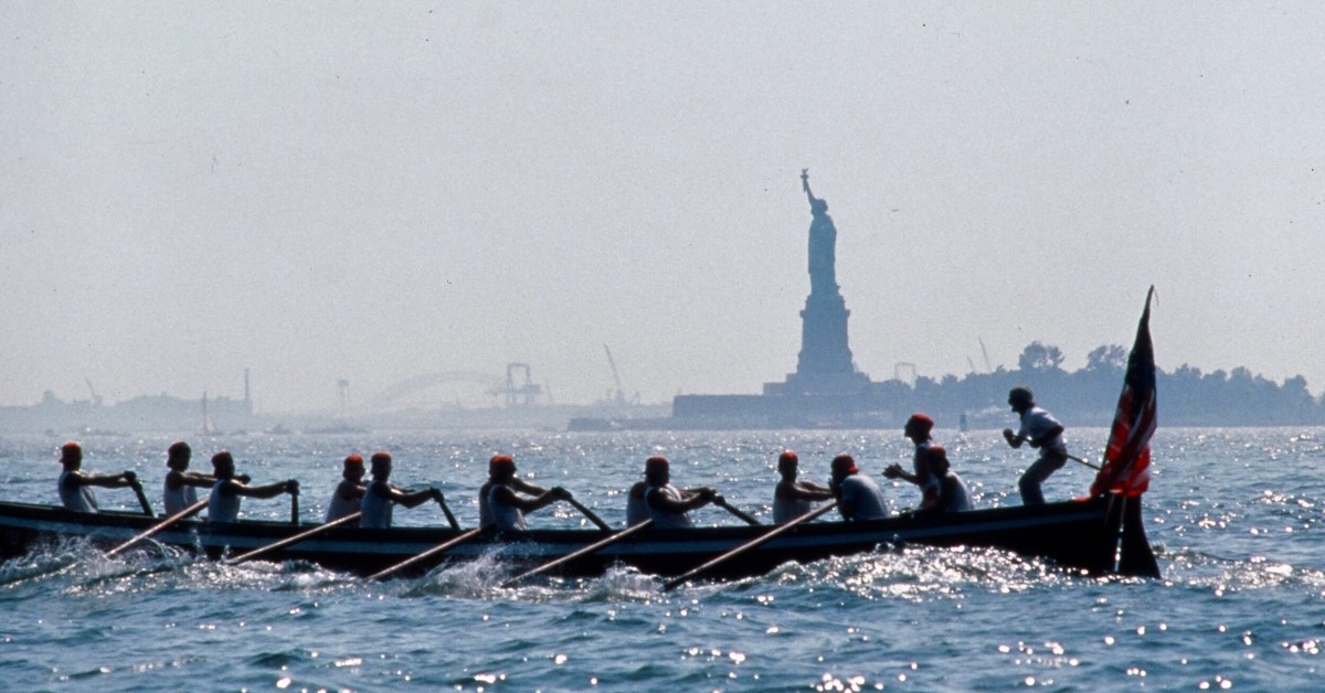
You may wonder why I have put in a header pic from across the Atlantic? This is to demonstrate the influence that the West Cork ‘Bantry Yole’ has had on the boating community all around the world. Atlantic Challenge International was founded in 1984 as a maritime training trust, and its activities are largely based on replicas of the 1796 Bantry craft. As a consequence there are relatives of the Fionbarra in many countries. I understand that there are currently at least 80 such replicas, spread over four continents, in the present day.

This link gives further information about The Atlantic Challenge

Nelson’s Arch

This is the inlet at Castlehaven, looking towards Castletownshend. It’s a peaceful scene. Finola and I were in the village at the weekend, showing groups around the church and the graveyard: it was a West Cork History Festival event. Very recently, I came across a reference to a structure that used to stand looking over this inlet: it was known as Nelson’s Arch. Here’s a watercolour print dating from the early nineteenth century . . .

It looks like part of a ruined building. In fact, this is how it appeared when built! It’s a folly, but with a purpose. It commemorated the death of Britain’s Admiral Nelson, and the defeat of the French fleet at the Battle of trafalgar in 1805. Dennis Kennedy researched the arch and wrote an article about it for History Ireland, in January 2016. here’s a brief extract:

This arch . . . was the first monument erected anywhere in the world to the victor of Trafalgar, Admiral Lord Nelson. It was completed twenty days after the battle, and less than a week after the first news of it reached these islands. The artist, and the builder, was Captain Joshua Rowley Watson RN, then stationed in Castletownshend as the naval officer in command of a large force of Irish Sea Fencibles defending that section of the west Cork coastline against possible French invasion. On hearing of the victory at Trafalgar and the death of Nelson, Captain Watson designed and built, in one day, the rough stone arch . . .

Dennis kennedy, History Ireland Issue 1, Volume 24

I can’t tell you for sure where this arch was constructed, only that it ‘looked out over the harbour at Castletownshend’. I am speculating that the site was where I have indicated in the above aerial view. My reason for suggesting this is that is an old archaeological record shown on the earliest Ordnance Survey maps states that ‘a structure’ existed at this spot. Evidently a plaque (now lost) was placed on the ‘structure’ setting out its origin:

. . . This arch, the first monument erected to the memory of Nelson after the battle of Trafalgar, was sketched and planned by Captain Joshua Rowley Watson RN, and built by him and twelve hundred of the Sea Fencibles then under his command (assisted by eight masons). It was erected in five hours on the 10th of November 1805 . . .

Dennis kennedy, History Ireland Issue 1, Volume 24

The idea of twelve hundred men – and eight masons – building this structure is hard to ponder. The Battle of Trafalgar took place on 21 October 1805. Subsequently, of course, two further notable monuments to Nelson were erected: the column in Trafalgar Square, London, was completed in 1843 to a design by the architect William Railton at a cost of £47,000. It’s still standing, guarded by its four bronze lions, which were added by Sir Edward Landseer in 1867. Its height (to the tip of Nelson’s hat!) is 51.59 metres. But Dublin City Centre also had a Nelson’s ‘column’:

This structure in today’s O’Connell Street was made by Cork sculptor Thomas Kirk. From its opening on 29 October 1809 the 40.9 metre high Pillar was a popular visitor attraction, as it contained a staircase which could be climbed by the public, and which provided a wide view over the city centre. The London column – built from Dartmoor granite – was never provided with a staircase, but it’s a ‘must-see’ tourist destination. It’s actually the only extant monument to Nelson: having survived the rising on Easter Monday, 24 April 1916 – when the nearby General Post Office was reduced to a burnt-out shell, (below) – Dublin’s Pillar succumbed to an attack – probably by dissident volunteers – on 8 March 1966 . . .

In the early hours of a Tuesday morning, a powerful explosion destroyed the upper portion of the Pillar and brought Nelson’s statue crashing to the ground amid hundreds of tons of rubble. An IRA spokesman denied involvement, stating that they had no interest in demolishing mere symbols of foreign domination: “We are interested in the destruction of the domination itself” (quote from the Irish Independent newspaper). According to Kennedy’s History Ireland article, our Nelson’s Arch at Castletownshend suffered a similar fate only a few days later, in March 1966. There must be many West Cork residents who remember the arch when it stood (and when it fell). I have only managed to find the photograph that Kennedy used in his piece:

Compare this with the watercolour sketch: it obviously survived virtually unchanged during its lifetime of 161 years. To my knowledge no-one has laid claim to destroying the structure. But the motivation – disgruntlement at a brazen symbol of British imperialism – was undoubtedly the same as the Dublin Pillar destruction. If anyone is able to provide further information on the life and death of Nelson’s Arch, Castletownshend, we would be delighted to add it here.