Sheep’s Head Stone Circle Revived!

Gorteanish Stone Circle, near Ahakista on the Sheep’s Head Peninsula, is singular because it lacks ancient history. It doesn’t appear on the early Ordnance Survey maps and – to the best of my knowledge – no local stories or folklore have been recorded about it. It is a Bronze Age archaeological site, but it has apparently been overlooked until comparatively recent times.

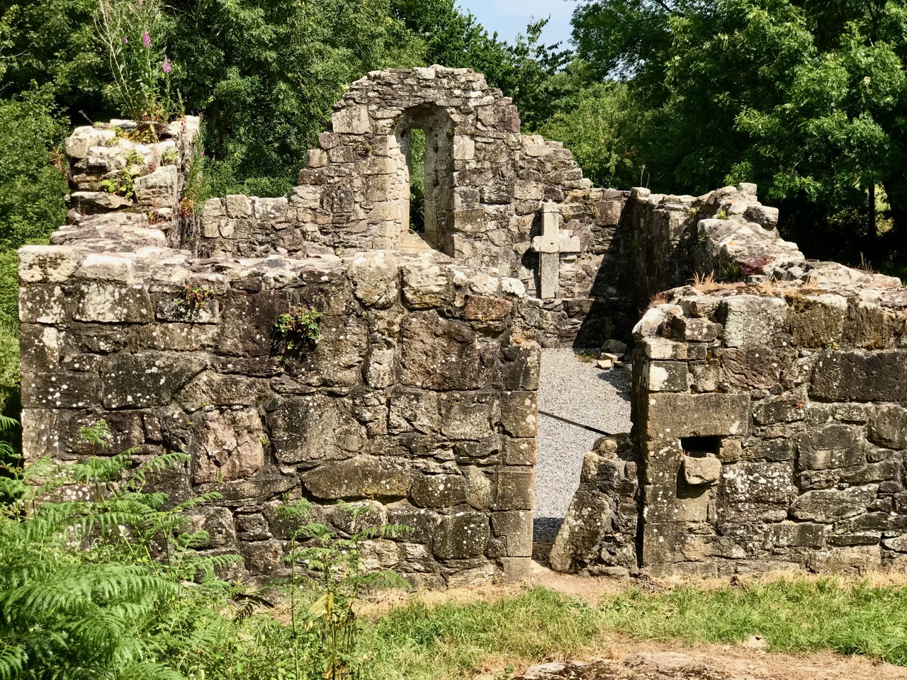
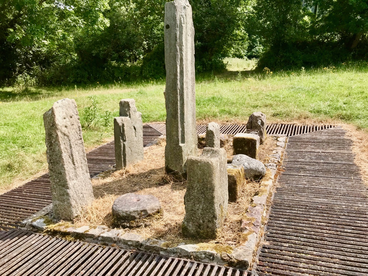
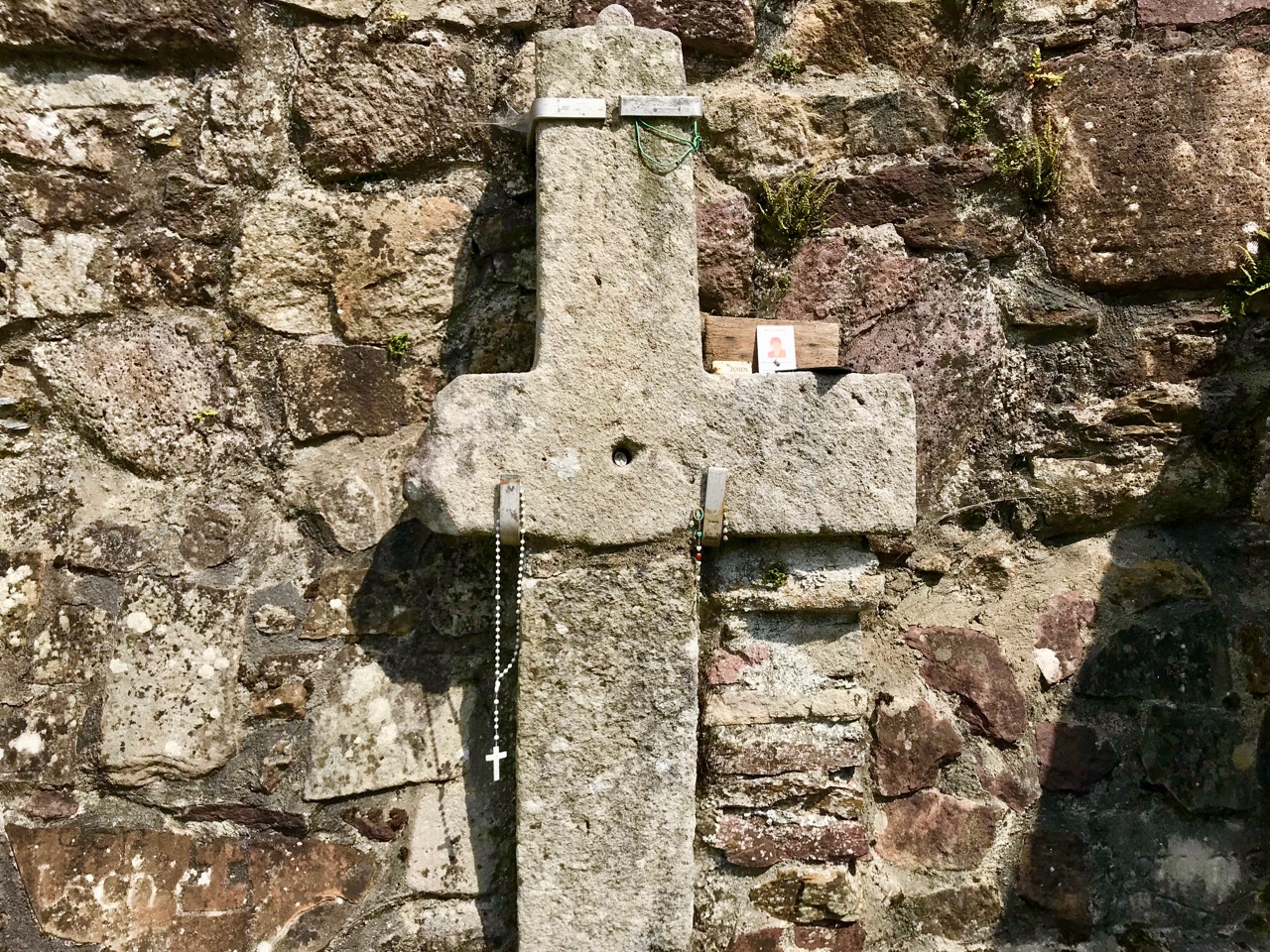
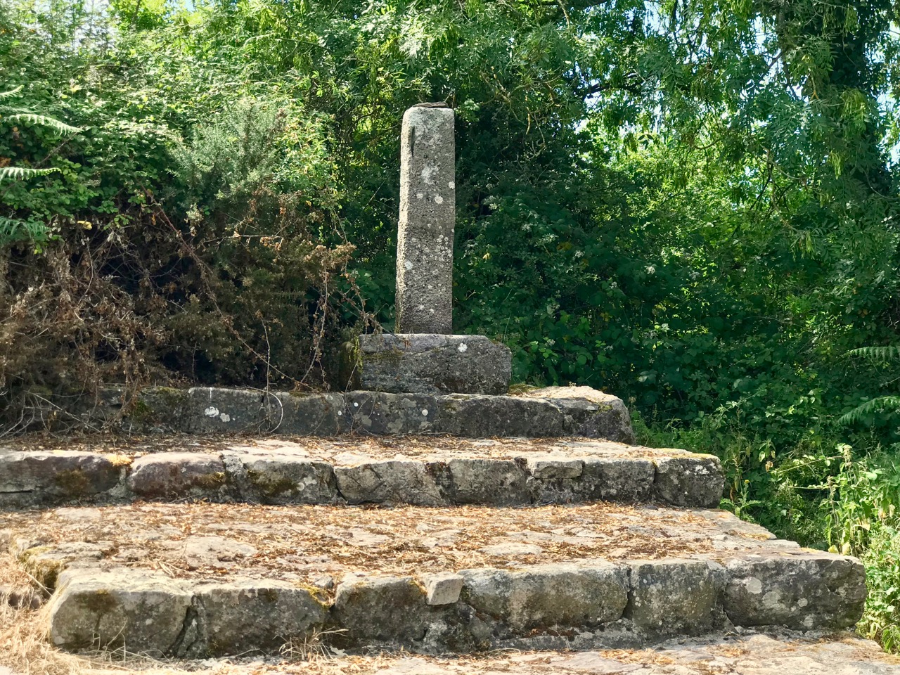
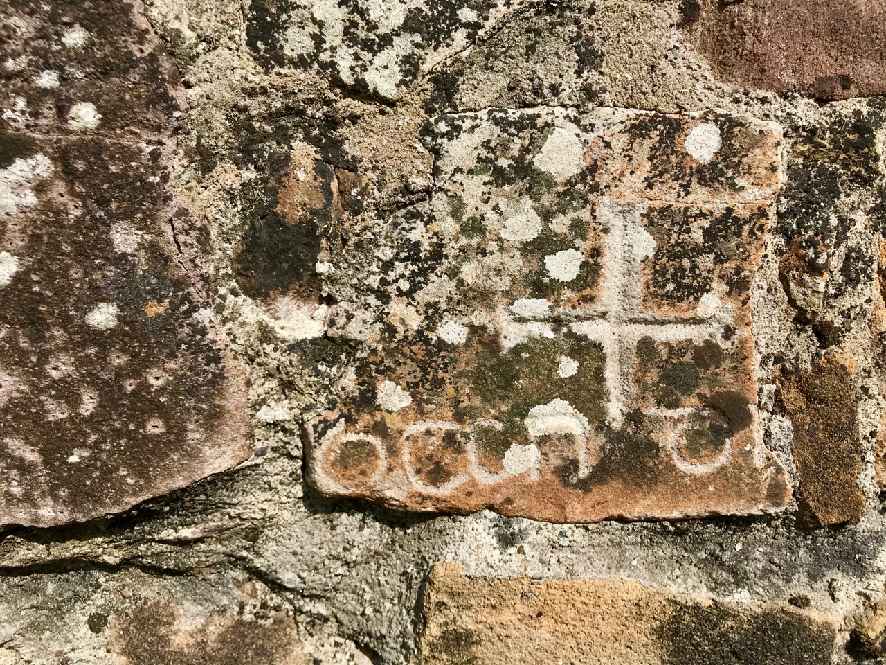
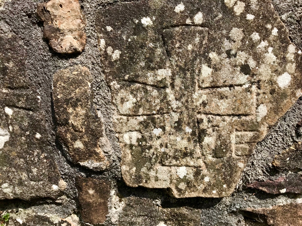
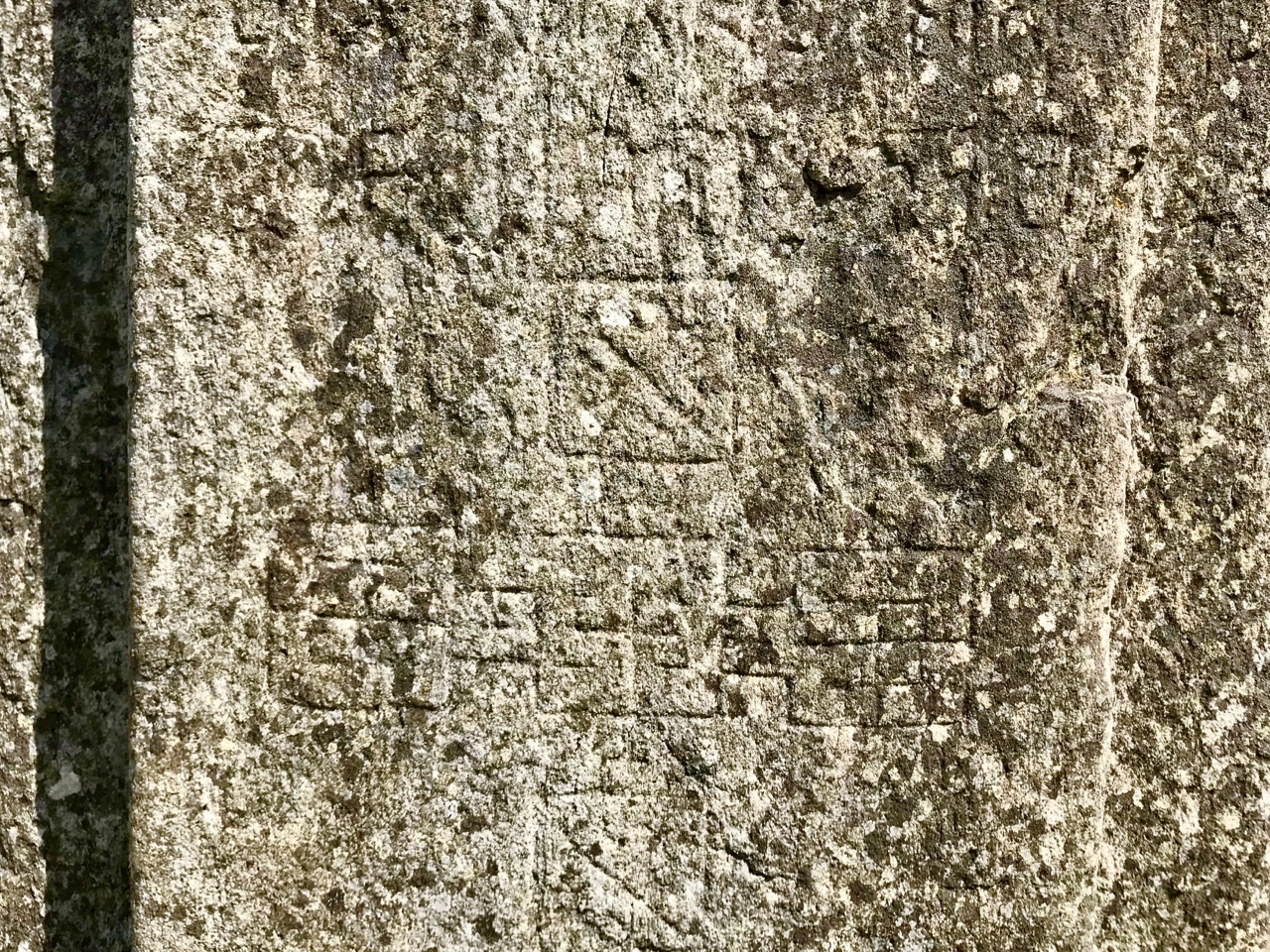
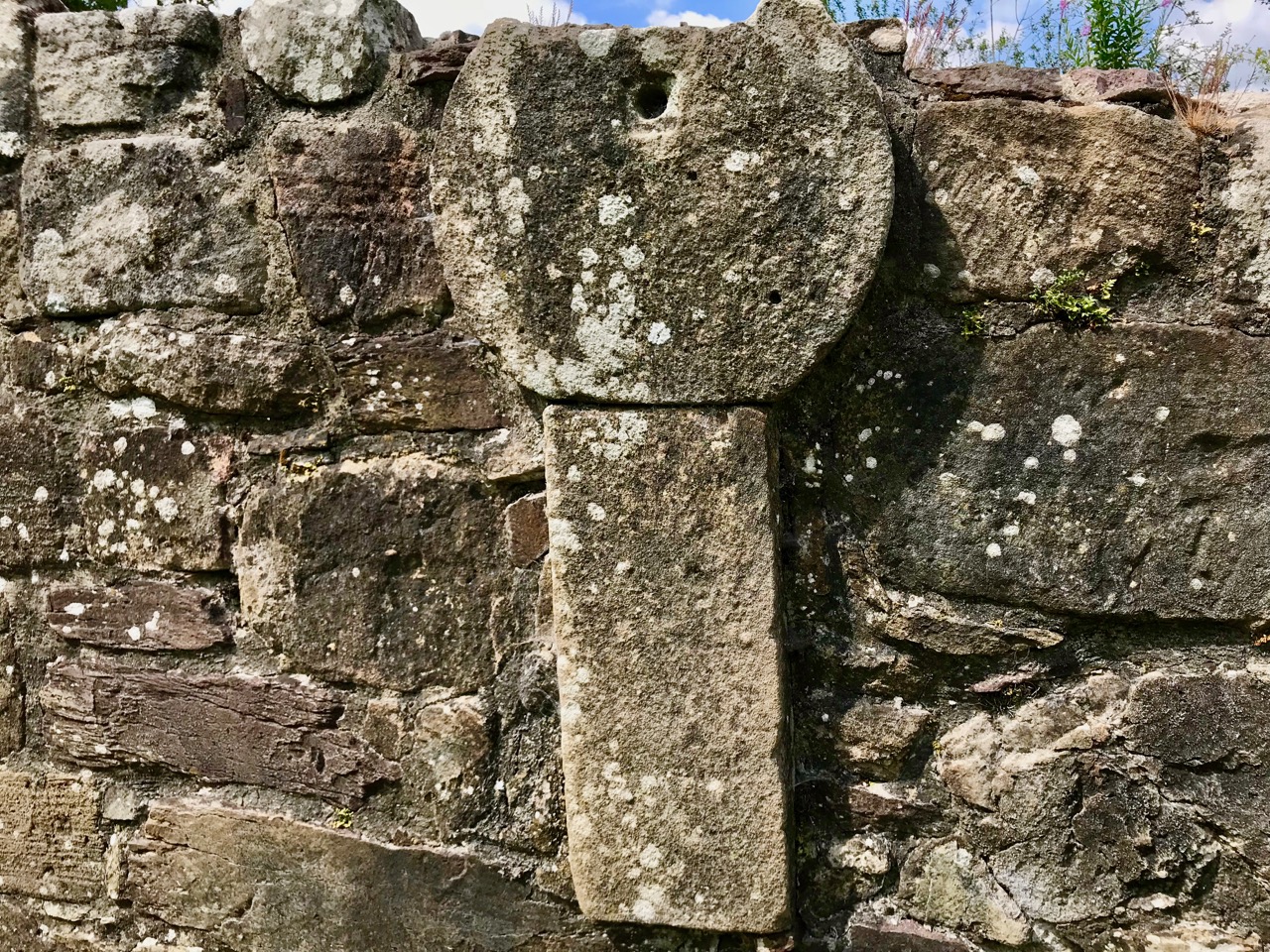
It’s a short walk to the west out of Ahakista to the site of the stone circle. The way is marked by the stone above. Atha Tomais means ‘Tomais’s Place, and refers to Tom Whitty from Philadelphia, who settled on the Sheep’s Head in the 1980’s with his wife Suzanne and family. He is credited with having come up with the idea of establishing The Sheep’s Head Way – a series of footpaths covering the peninsula, and the project was put in hand by Tom and a local farmer, James O’Mahony, completed in (remarkably) just 18 months and formally opened by President of Ireland Mary Robinson in July 1996. During clearance work for the Ahakista footpath the remains of the stone circle at Gorteanish were discovered. It has since been suggested that there were stories of ‘old stones’ being hidden in the undergrowth. A footpath giving access to the stones from the nearby lane was duly completed and opened, and the inscribed stone marks this occasion.

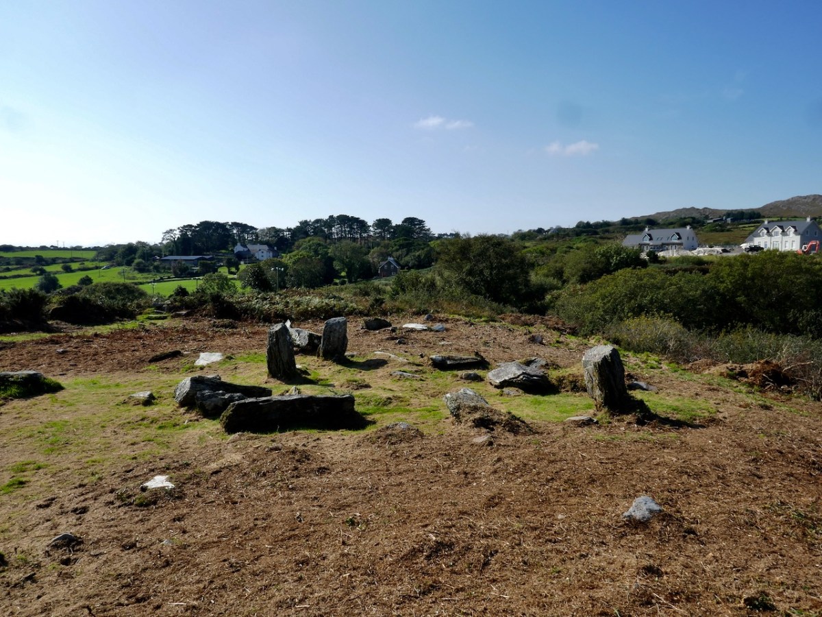
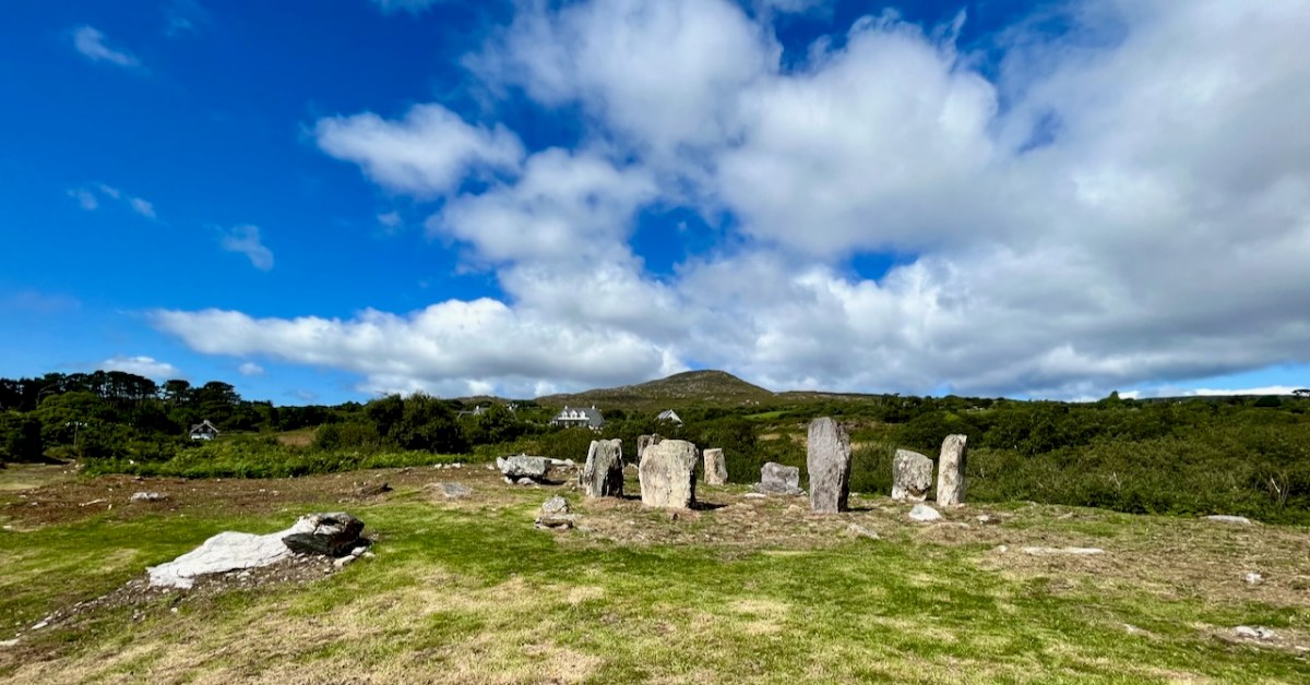
This photograph shows the circle more or less as it was found in the 1990s. Four stones are standing, and others are lying prostrate.
Earlier this year, the decision was taken by Professor of Archaeology at University College Cork, William O’Brien, together with a group of students, to extensively study the site at Gorteanish. Their mission was to excavate the site where necessary to establish which of the stones had been standing and to see how feasible it might be to restore these standing stones in their original sockets, using only traditional methodology. A significant area around the whole site would also be examined to search out any evidence of human occupation and activity – and hopefully to provide a reasonably accurate dating for the circle.
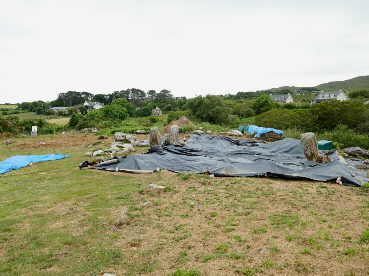
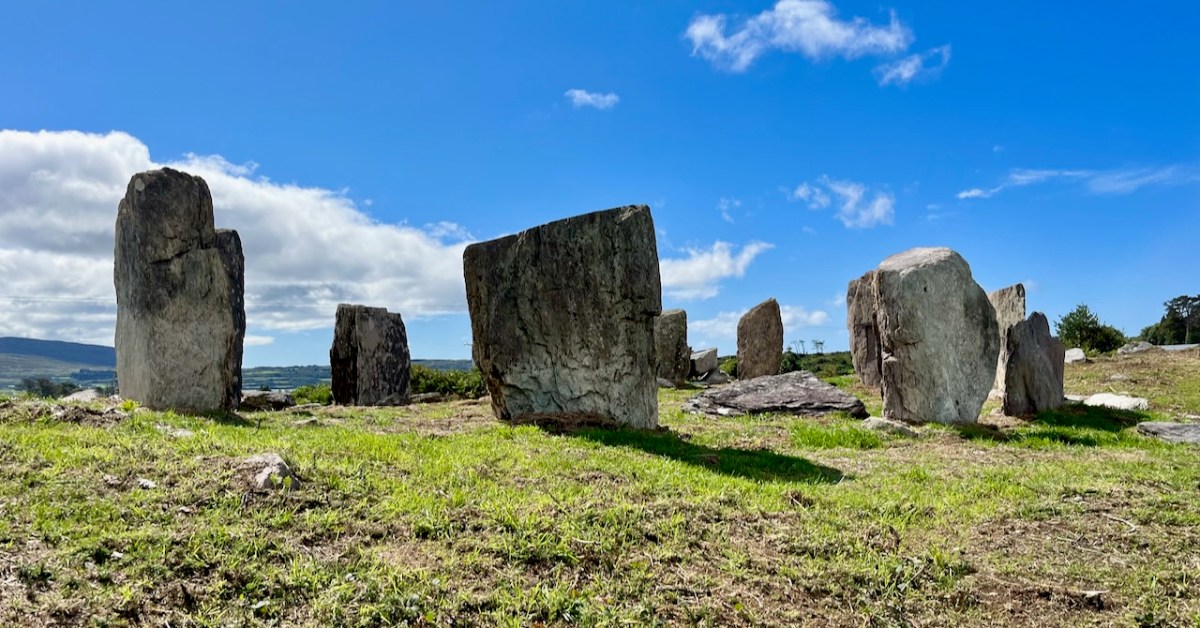
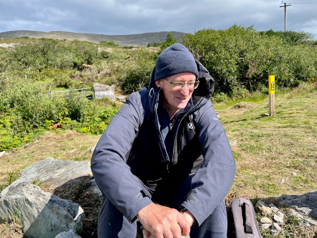
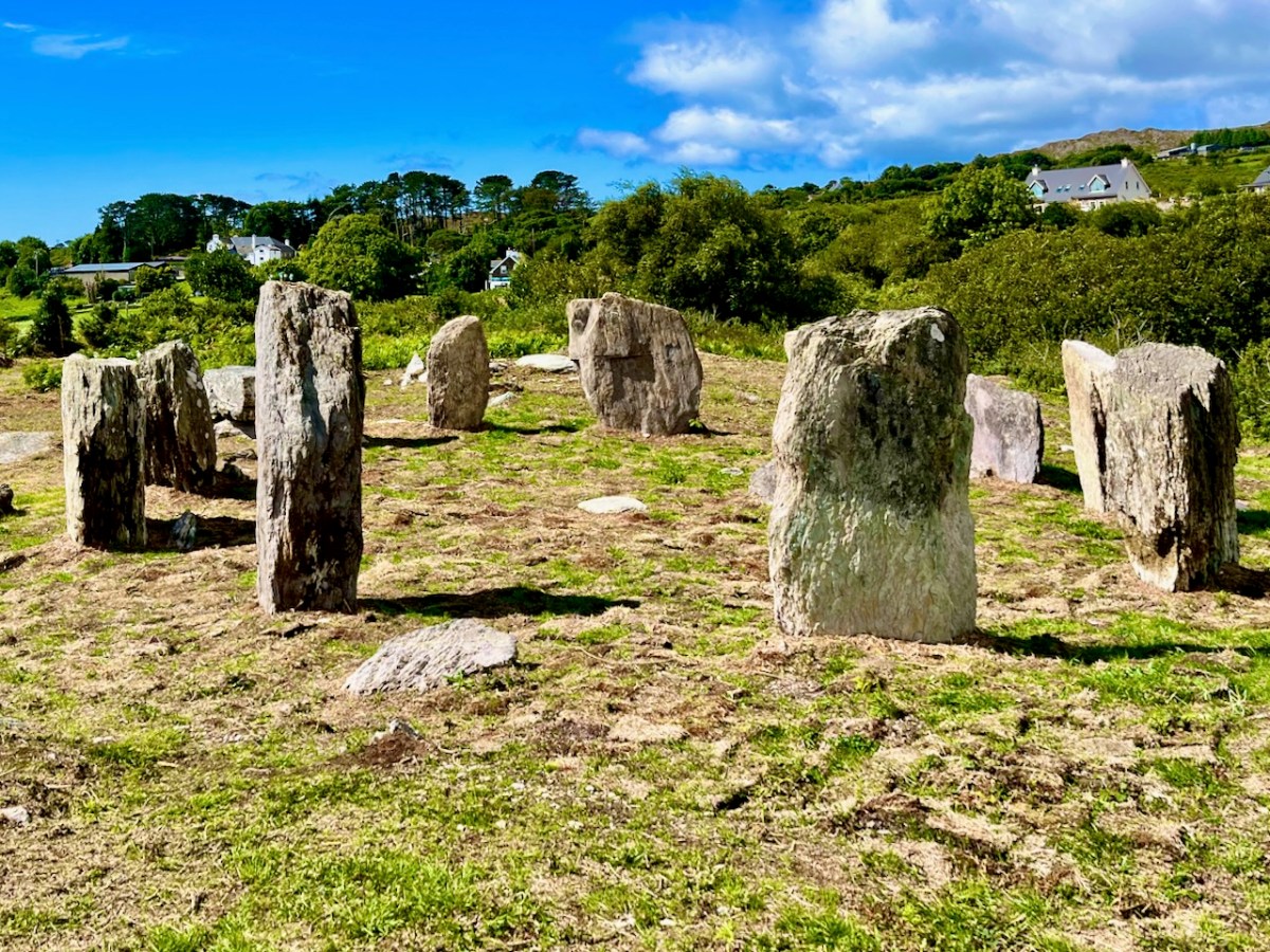
Finola and I visited the site while the archaeological works were progressing (above). Yesterday (5 August 2023) Billy O’Brien (below) was on hand to give a detailed talk on the excavation and restoration work, and we could see, for the first time in many generations, the circle restored to its complete state: it now has all eleven stones standing.
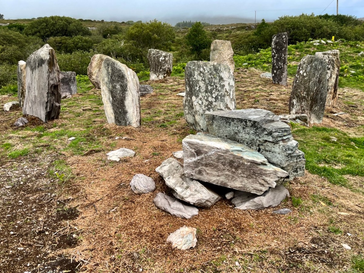
The view above shows a boulder burial monument situated to the south-west of the main circle. This has always been a visible feature of the site. A boulder burial (once called a boulder dolmen) is peculiar to Ireland. In fact it is found only in Counties Cork and Kerry. Finola has written comprehensively on this subject, here. It is usually a substantial raised stone supported on a bed of smaller stones:

. . . Boulder-burials are a group of prehistoric stone monuments of megalithic proportions, whose distribution is largely confined to south-west Ireland. Some 84 examples have been identified, 72 of these in Co Cork and the remainder in Co Kerry, where they occur both singly or in small groups of between two and four. They consist of a large boulder erratic supported by an arrangement of smaller stones, with no covering cairn or tumulus. Several examples are known which are centrally placed within stone circles . . .


Boulder-burials: A Later Bronze Age Megalithic Tradition in South-West Ireland
William O’Brien Dept of Archaeology, UCG 1992

A closer view of the boulder-burial at Gorteanish: it can be seen that the main ‘boulder’ element has split in two through the ravages of time. In the main circle, all the standing stones have been restored to their original (relatively shallow) sockets, and fixed using rammed small stones, following the evidence gained during excavation.

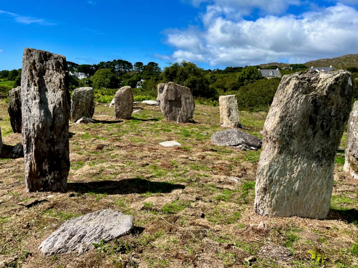
Most stone circles have a specific orientation. This can be seen by the shaping of the stones around the circle. In this case there are two clear ‘portal stones’ on the east side, directly opposite an axial stone on the far side (above). More usually, the stone opposite the portals is flatter, when it is known as the ‘recumbent’. In this case it is a substantial stone with a shaped top (detail, below).Perhaps this points to a feature on the horizon? Our calculations show that the orientation of this circle is towards the winter solstice sunset – just as at Drombeg Circle, not too far from here.

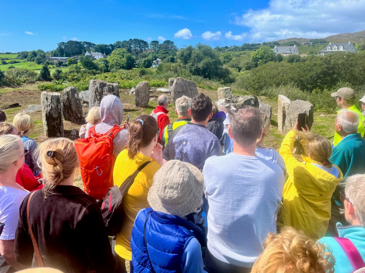
Yesterday’s event attracted a substantial crowd, eager to hear Professor O’Brien talking about this project. Many were no doubt surprised to see the site returned so faithfully to its original state. But – with stones standing – it has now become an iconic piece of archaeology. We are delighted that it is on our doorstep. If you want to read a deeper discussion on stone circles and their historical contexts, look at Finola’s post here – one of many that include the subject.

Another thing that Billy pointed out was the significant ancient stone wall that runs across the site; you can see traces of this above. In this view you can also see an elongated large rock apparently lying on its side. Some local commentators have suggested that this was once a very tall standing stone. If so, at about nine metres, it would have been spectacular! But the excavation confirmed O’Brien’s view that it was never standing, and has always been part of the landscape in its current position.
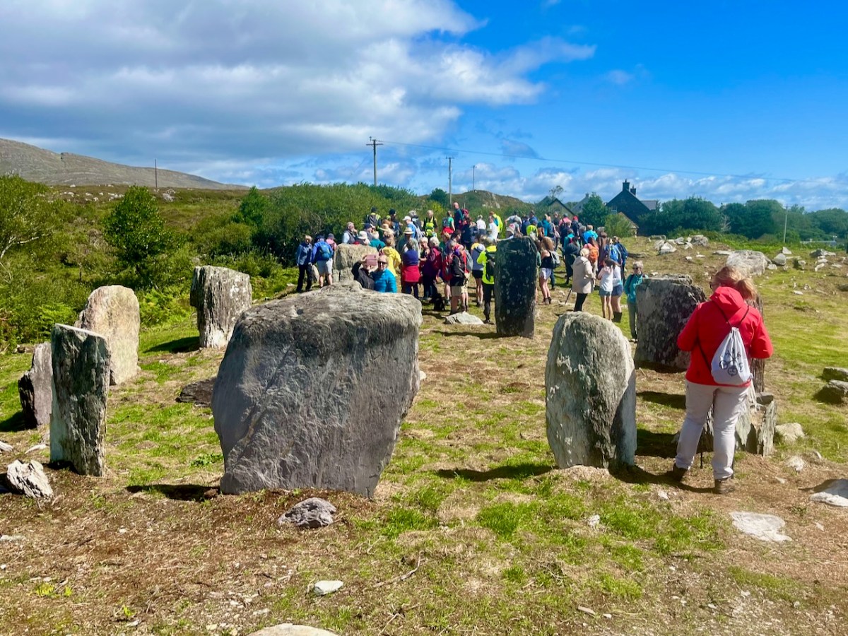
Also, an area of flat ground to the east above the site was closely examined, in case it revealed traces of any human use, but none was found. In fact, there were no signs of any notable human activity. However, one point that I found particularly interesting was that, in the centre of the circle, is a pit containing quartz stones. Quartz, that glinting reflective material that faces the much older main chamber at Newgrange (you can see a pic of it in this post), certainly catches the attention; it’s fascinating that the Gorteanish people – whoever they were – gave it an aura of importance by burying it at the focal point of this circle. The quartz has been replaced in the pit, after the excavation. Its position is marked by the only ‘alien’ element that has been introduce here – a pale coloured flat stone:
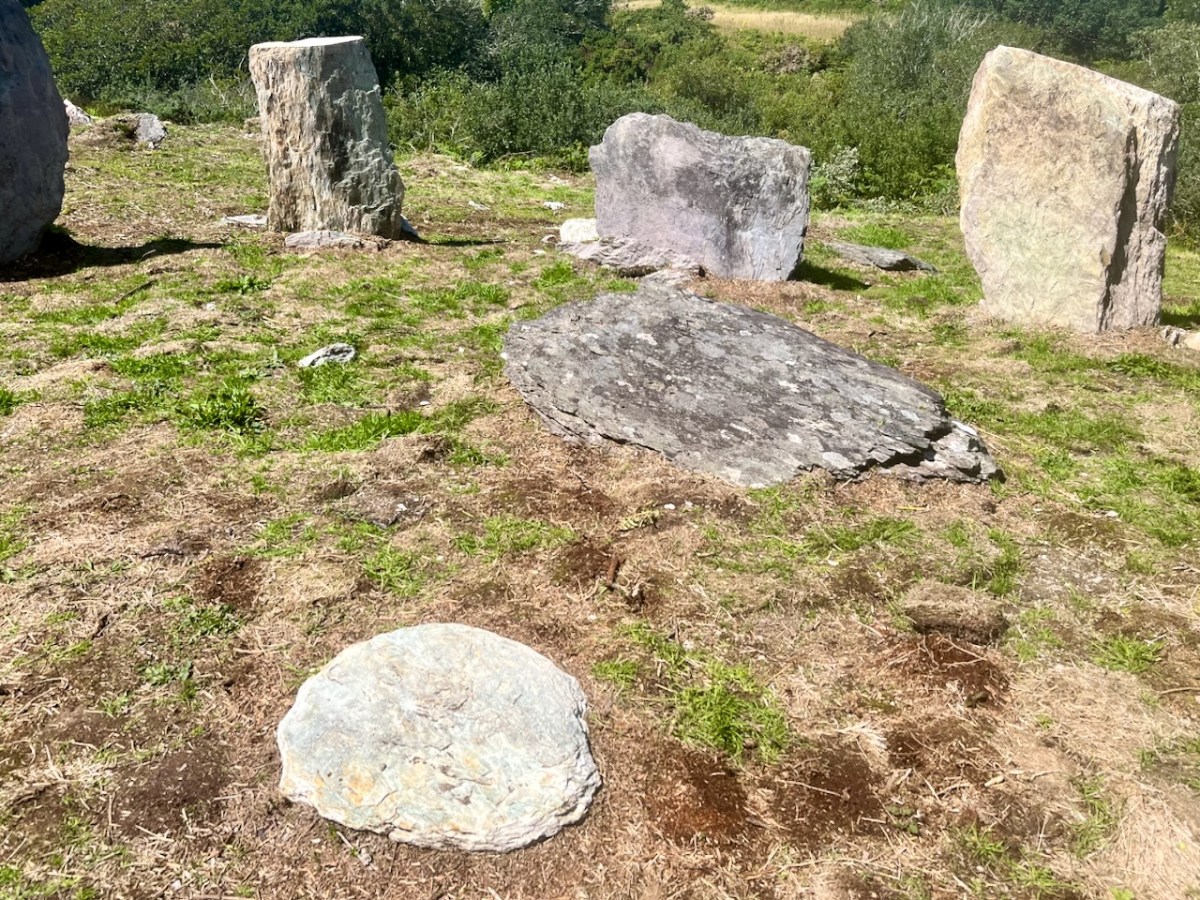
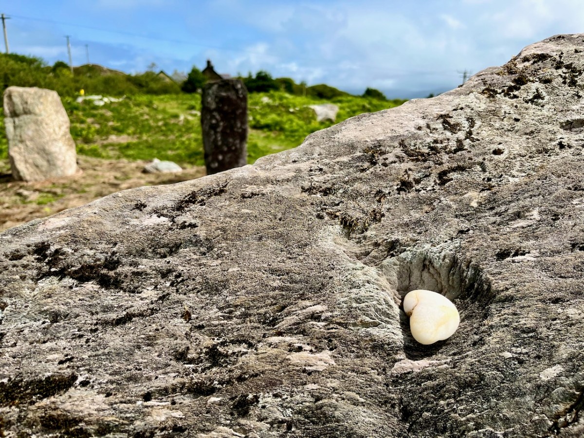
The larger earth-fast stone beyond this new addition has always been there: the site might have been constructed around it. It’s always interesting to see how people are going to react to a circle like this – here is someone’s recent contribution, also giving importance to the ‘magical’ quartz:
All in all, our day was exciting. It’s pretty special to see something ancient faithfully restored – and open for all to access. The seven fallen stones probably collapsed because of cattle rubbing up against them over centuries. That has been prevented now. We hope you will all appreciate – and enjoy – this new West Cork experience.
Microgeneration – Rural Electrification 2023

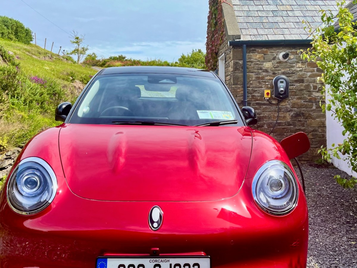
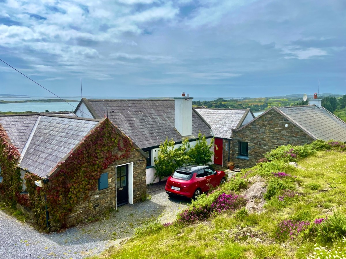
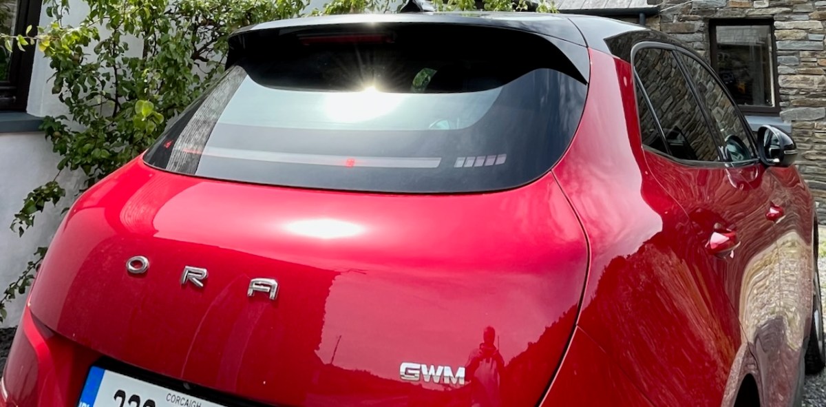
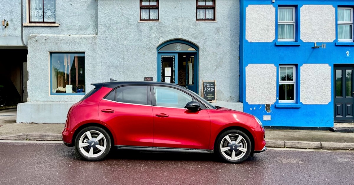
That’s our new car, sitting in Ballydehob a day or two ago. It’s given me the chance to revisit my posts about the history of Rural Electrification in Ireland – and to bring the subject right up to date! The word Microgeneration is new to my vocabulary. Here’s where I first saw it:

What that means is that our supplier – Electric Ireland – is paying us! We are contributing to electricity generation here in West Cork because we have tapped in to the sunshine!

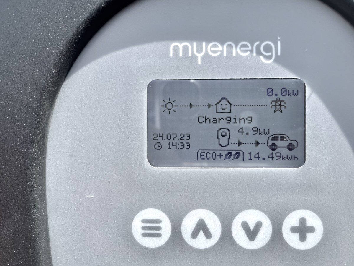
Since we collected our Ora Funky Cat from Blackwater Motors in Cork, two weeks ago, all our fuel costs have been free! As you can see from the display on our car charger, every watt is coming from solar gain, and feeding into the Funky Cat’s battery. If we get the timing right, we will never have to pay fuel costs again, unless we travel away from home.

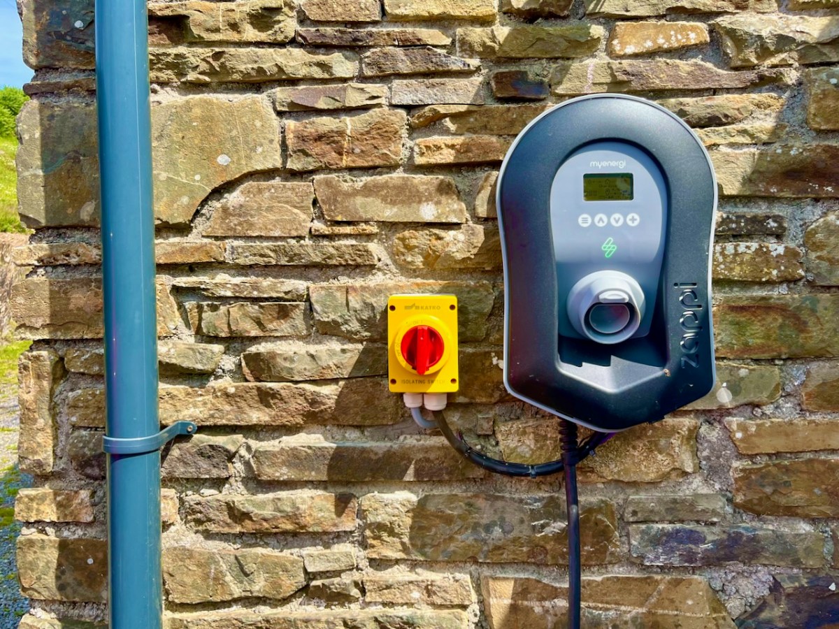
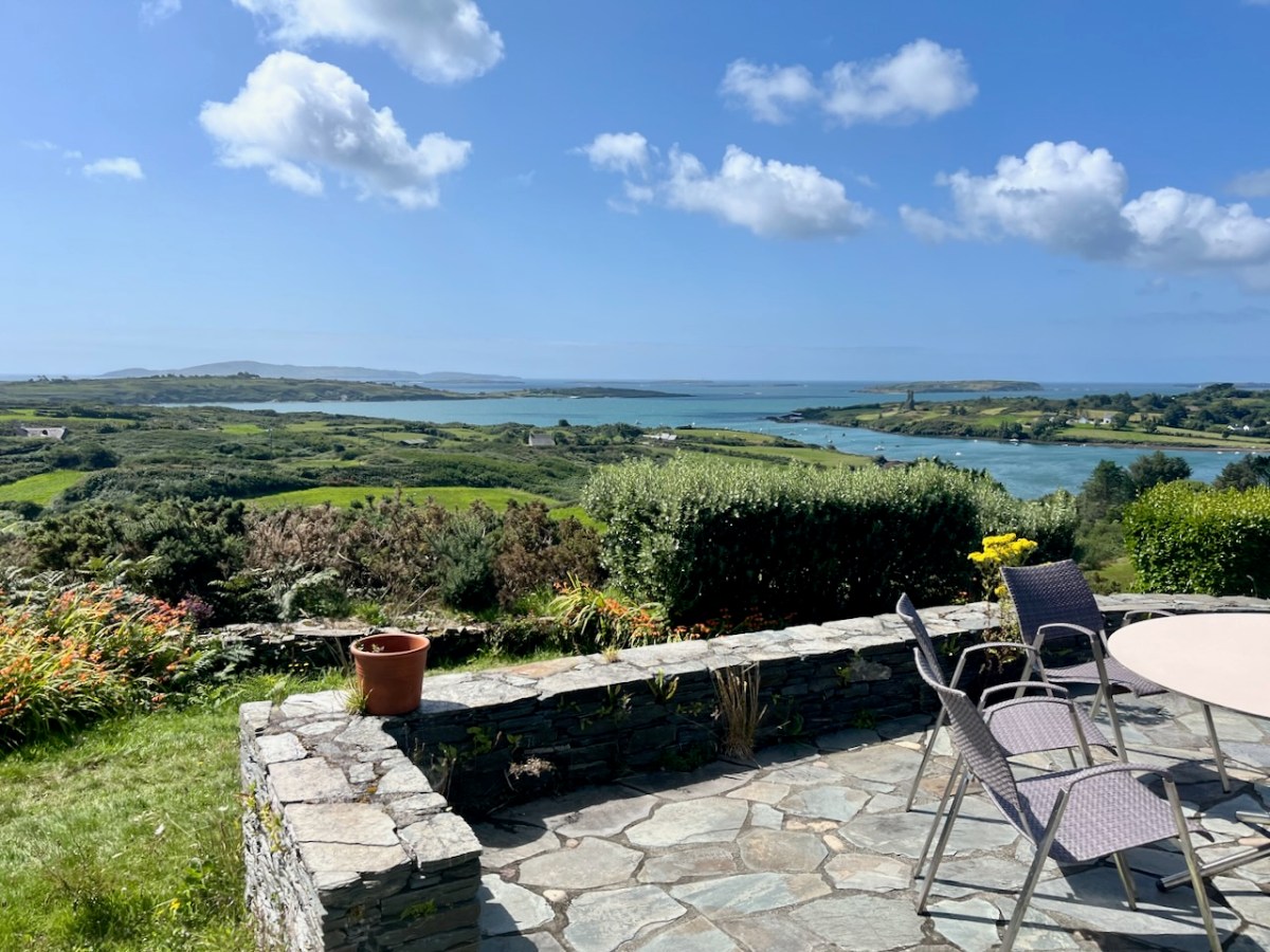
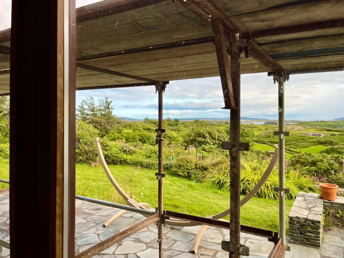
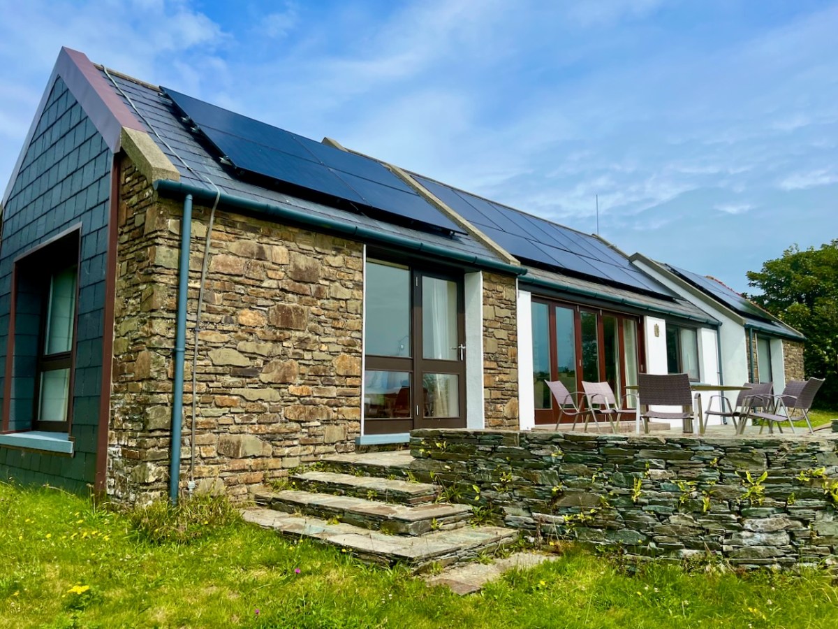
That’s our Zappi car charger, above. We made the decision to install photovoltaic (PV) panels on the roof of our house. We face south – looking out over Roaringwater Bay – in a location that’s ideal for harvesting solar energy.

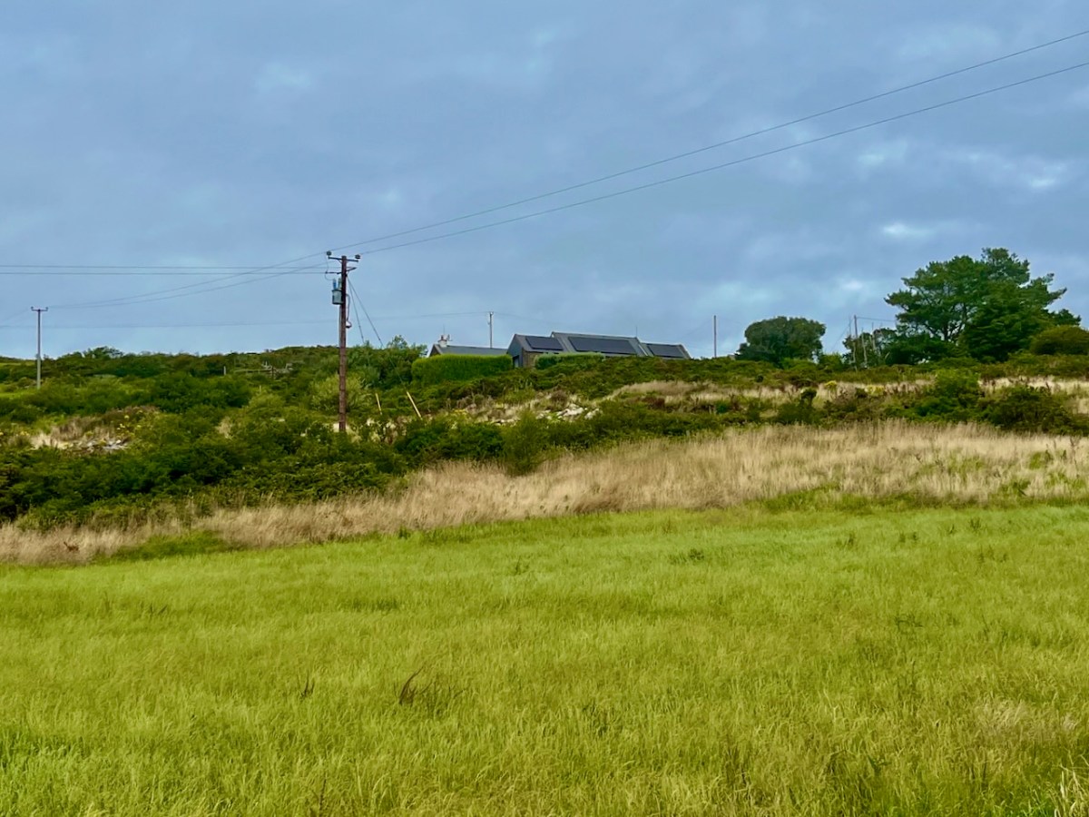
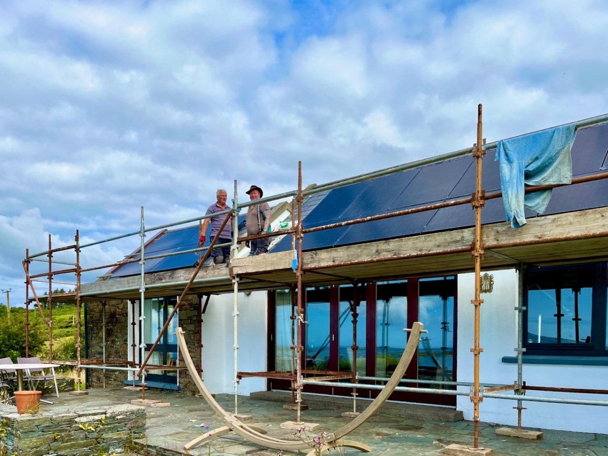
Our house from the fields below: you can see a few stages of rural electrification in this picture, conventional supply posts and wires, and the new panels on our roof. (Below) Fergus and Kevin are well on with the installation:

It’s been well worth the disruption, which was actually shortlived – and everyone who worked on it was cheerful. Why wouldn’t they be? They were bringing the most up-to-date electric technology to our doorstep. We are now being credited for anything we generate that goes into the grid (that’s the default mode). But we are going to use our own power as much as possible in Nead an Iolair. We have had a battery fitted, and a diverter which powers another circuit if there’s anything to spare once we’ve charged the car.

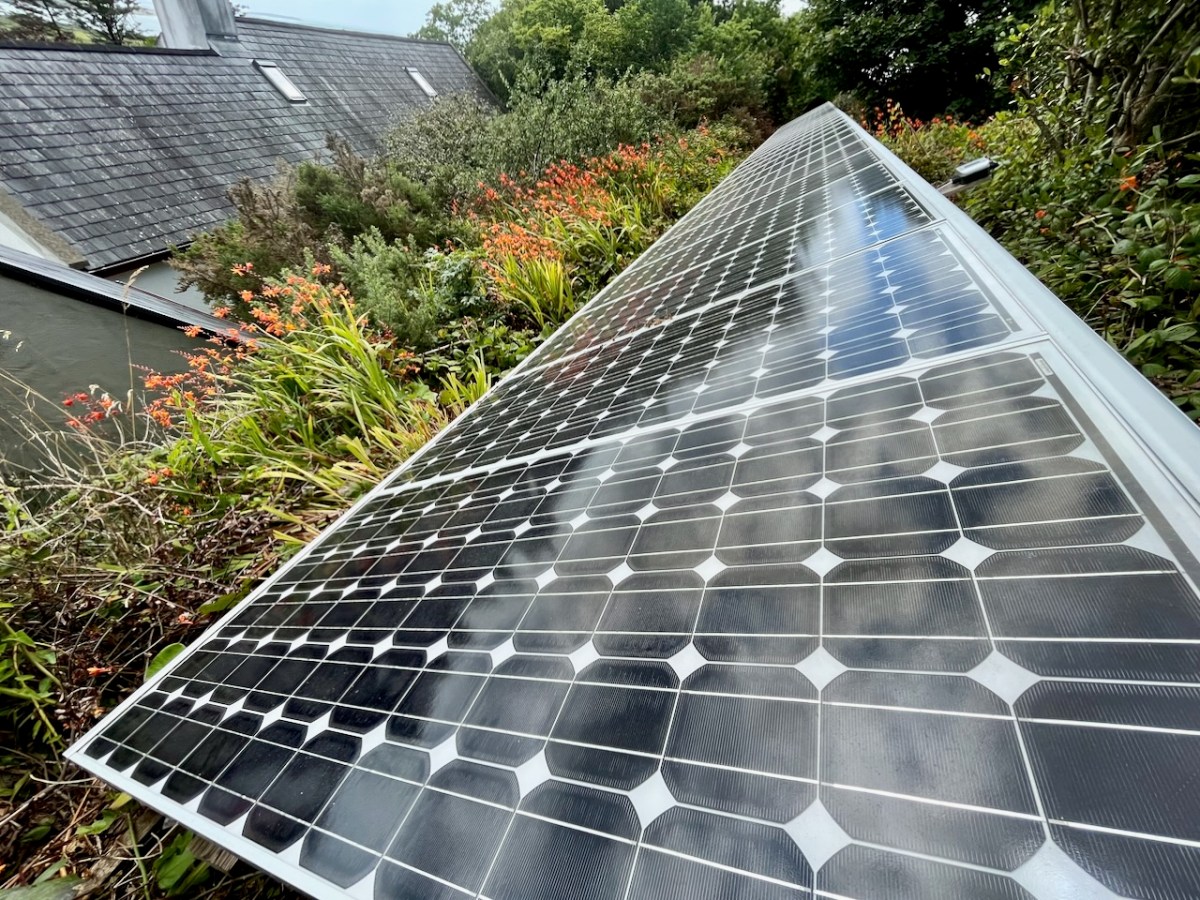
We are fortunate in that our house has extensive south-facing roof slopes – ideal for the installation of eighteen PV panels (above). Properties which don’t have roofs facing the right way can consider panels mounted on freestanding frames. Here’s one set up by neighbours of ours:

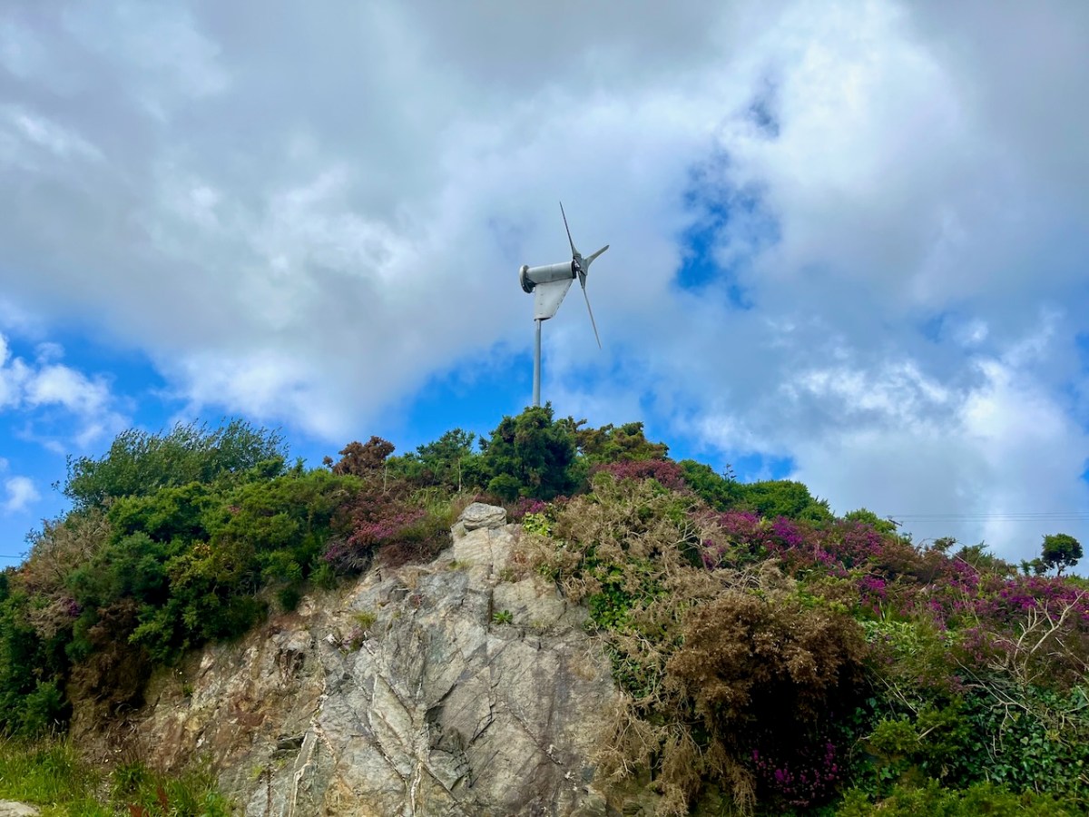
The same neighbours have also been tapping into wind energy for many years (above). They are significant contributors to ‘rural electrification’ here in West Cork!

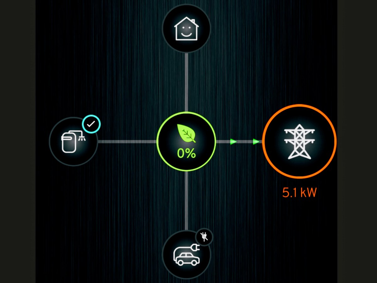
There’s a phone app for everything! Mine is telling me how our system is performing. It’s Saturday afternoon and the day is relatively dull. There is no sun shining on the panels, but the solar gain from the overcast sky is still generating (or ‘microgenerating’ as the ESB would have it). The battery in the system (on the left) is full, the car (bottom image) is unplugged. The PV (centre) is pushing 5.1kW into the grid! No wonder our ‘house’ is smiling.

Finally, this week – in our electric car – we visited the impressive re-erected Gorteanish stone circle near Ahakista on the Sheep’s Head. I wonder: could this have been a forward-looking experiment by Bronze Age West Cork dwellers into harvesting solar energy?

Thinking of a carbon emission reduced future yourself? It would be worth speaking to our contractor: https://www.toolenpv.ie/

And, if you like the look of the Funky Cat, don’t forget to connect with Blackwater Motors, our Cork dealer. Incidentally, if you are wondering about the name, Great Wall Motors (GWM) is one of the largest car manufacturers in China, where cats are considered lucky: all GWM Ora products have ‘Cat’ in the name. Examples – Good Cat, Ballet Cat, Lighting Cat, Grand Cat… And Funky, of course!

Further information on the Electrification of Ireland can be found in these posts:

Night’s Candles are Burnt Out

Electrifying West Cork

Rural Electrification – Process and Effect

The Electrification of Ireland – A Medieval Diversion

Ardnacrusha

Ballyrisode Fulacht Fia Update

In my original post on this site, Ballyrisode Fulacht Fia: Discovering a New Bronze Age Site on The Mizen, I described it as an intertidal fulacht fia (or water-boiling site). Subsequently, I wrote a paper for the Skibbereen Historical Journal on the site, and that paper can be read in full here: https://zenodo.org/record/3247880. This post will look at new information about this site in particular and fulachtaí fia in general. I give the original post in full further down, or you can read it, and its many interesting comments, here. If you haven’t read it before, it’s a good idea to do so before proceeding.

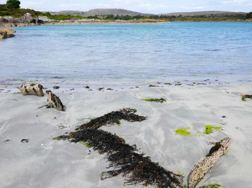
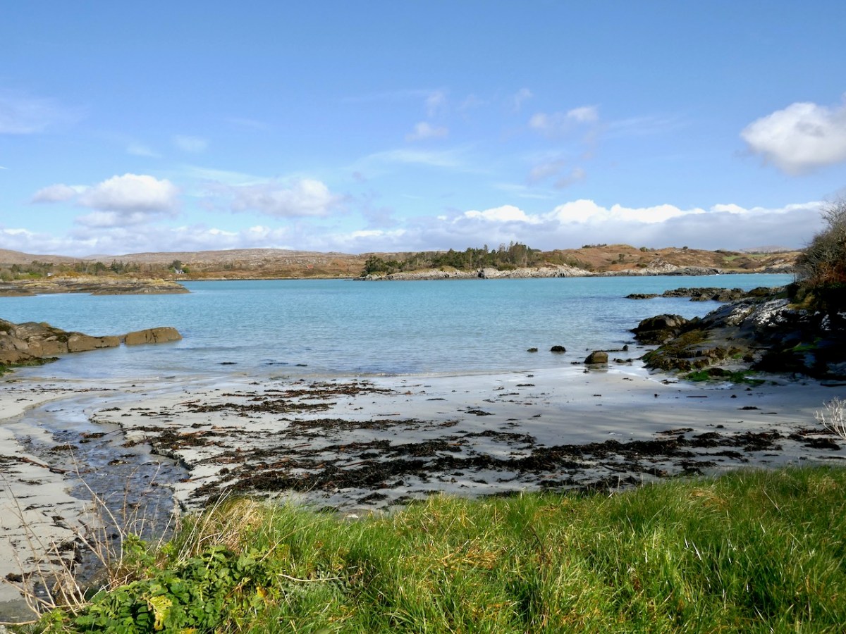
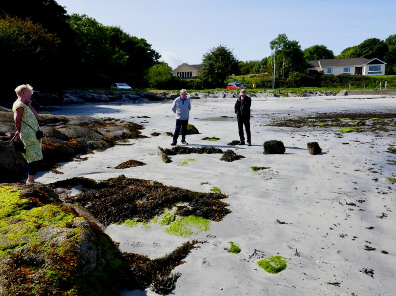
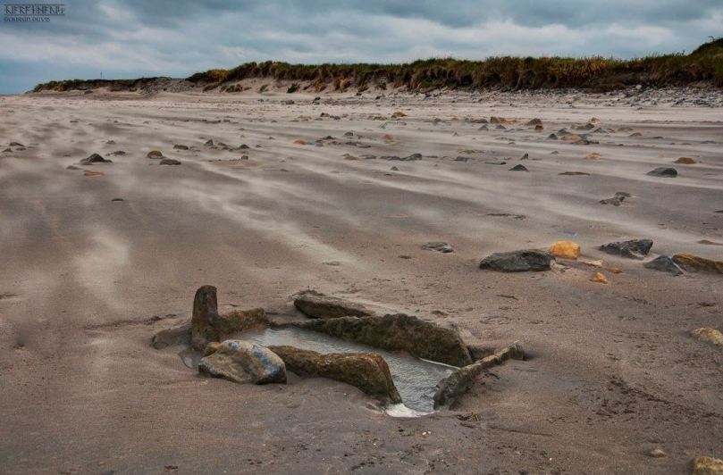
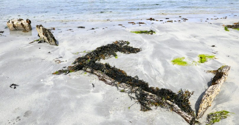
The photograph above was taken more recently and shows how sand carried in by the tide could, over time, bury these stones completely

In the original post and in the paper, I found parallels to the Ballyrisode situation in several other sites but particularly in the one at Coney Island in Connemara. The excavators concluded that this site was deliberately constructed to be inter-tidal – that is, to fill with water and drain as the tides advanced and receded. However, I have had the privilege of visiting the site anew with two geologists, Anthony Beese and Robin Lewando, and both are of the opinion that the site was originally on dry land. That’s Robin with the crossed arms, below, on an expedition to get measurements at the site.

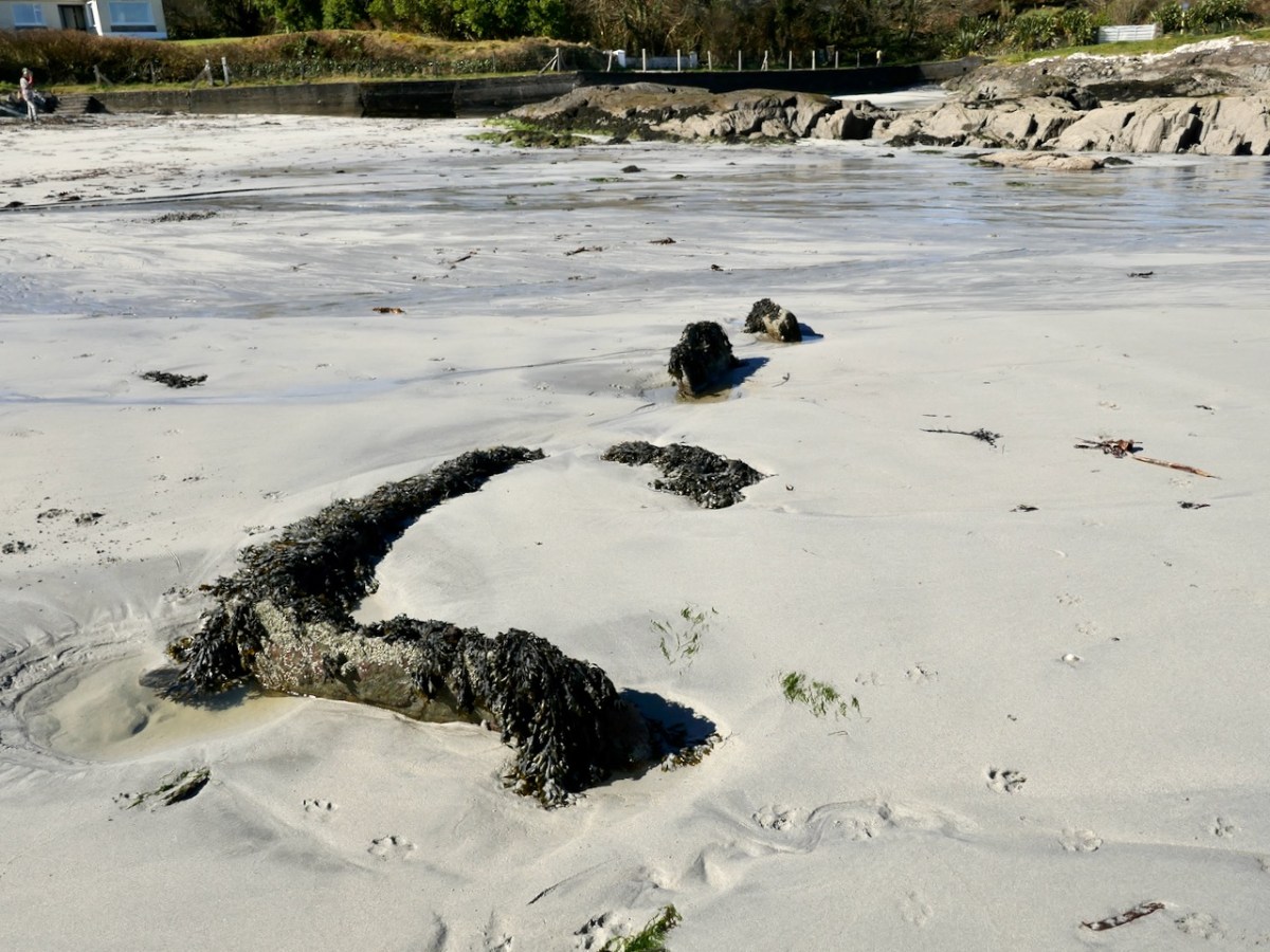
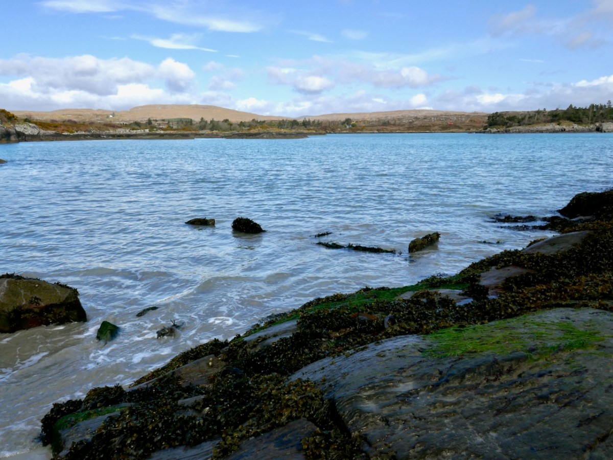
Anthony Beese has studied the intertidal zones in West Cork and has concluded that the sea level has risen since the Bronze Age by enough to locate the trough on dry land, since it is barely covered now by water at high tide. Anthony also pointed out that a small stream was flowing from the land onto the sand nearby (below), which would have been a good source of fresh water for the trough.

The second piece of new information comes from a recent paper by Jennifer Breslin in Archaeology Ireland, Burnt Mounds – the answer is under your fingertips. In it, Jennifer posits that the mound, rather than being secondary to the trough, is in fact the primary focus of the site and is what is left after the production of charcoal. The troughs may have been used to produce tar, a bi-product of charcoal. This may explain why excavated fulachtaí fia have yielded very few food remains. Another intriguing take on these enigmatic but abundant sites.

Now here is the original post, published Sept 2018

Ballyrisode Fulacht Fia: Discovering a New Bronze Age Site on The Mizen

Hidden in plain site – that’s how we stumbled across a hitherto unrecorded archaeological site at Ballyrisode Beach. It’s a popular swimming place, often swarming with swimmers, sun-bathers and picnickers in the summer and enjoyed by dog-walkers in the winter. Like many others, we were simply enjoying being at the water on a warm day when Robert drew my attention to an odd grouping of stones.

Three sides of a rectangle were defined by stone slabs laid on their sides in the sand, while two other upright slabs stood close by.

It had all the appearance of a carefully constructed trough, with one side missing, and it immediately reminded us of the cooking site at Drombeg Stone Circle.

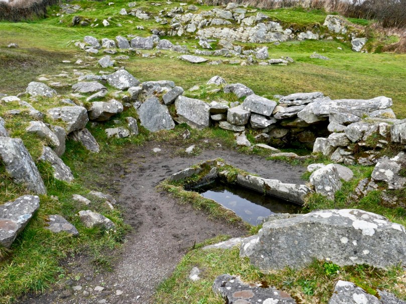
Drombeg – besides the famous stone circle there is a hut site and this – a water-boiling trough with associated hearth and well, surrounded by a horseshoe-shaped mound of stone. An interpretive panel illustrates its use.

I took photographs and posted them to an online forum with a request for more information. An answer came back immediately, from a group of archaeologists who had excavated an almost-identical site in Sligo – what we were looking at was indeed an intertidal fulacht fia (full oct fee-ah, pl: fulachtaí fia/full octee fee-ah)).

E M Fahy excavated Drombeg in 1958 and returned the next year to dig the fulacht fia. This is his site drawing of the fulacht fia. You can read his original report here.

What exactly is a fulacht fia? The name translates as a wild cooking place and it was coined to describe this kind of open air kitchen. In Britain they are known as Burnt Mounds. Typically, they consist of a trough, normally lined with stone but occasionally with wood. The water in the trough was brought to a boil by dropping very hot stones into it, and therefore another feature of a fulacht fia is a hearth for heating the stones. Once the stones were used up (after heating and cooling one or more times they cracked and broke) they were tossed aside and over time a horseshoe-shaped mound of these burnt and shattered stones accumulated around the trough.

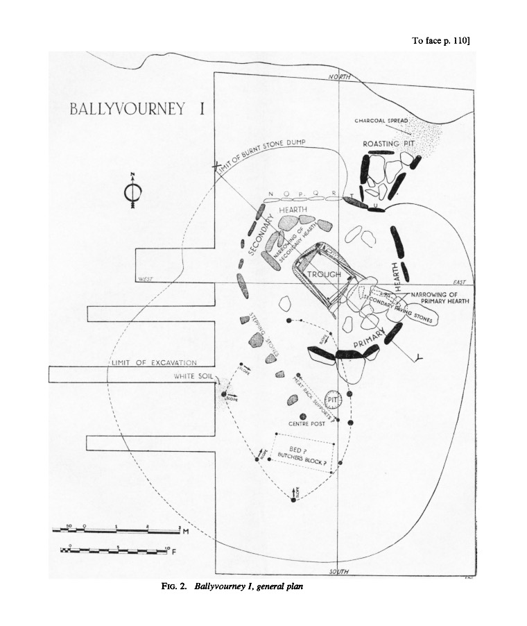
Another site drawing of a fulacht fia – this one was in Ballyvourney, excavated by Michael J O’Kelly in the 1950’s (report available here). Observe the numerous slabs laid on their sides around the trough – some for the roasting pit and some for the hearth. The two upright slabs at Ballyrisode are likely to have been part of such a related grouping of stones

Fulachtaí fia, in fact, are the most numerous archaeological sites in Cork, with 3,000 recorded sites, although they are known all over Ireland and in Britain and Northern Europe. Prof William O’Brien, in Iverni, refers to them as ‘water-boiling sites’ which is a more accurate description, since we don’t actually have overwhelming evidence that they were used for cooking. Few bones have been found among the burnt stones at some sites, although this is often explained away by reference to acidic soils and poor bone preservation.

Trinity Well, near Newmarket in North Cork, is a Bronze Age fulacht fia that has been re-purposed in modern times as a holy well! Read more about this site in Holy Wells of Cork

So the question remains open as to their purpose or purposes and proposals include their use for tanning and brewing. It is also possible they may have been used for bathing, or incorporated into sweat-house rituals.

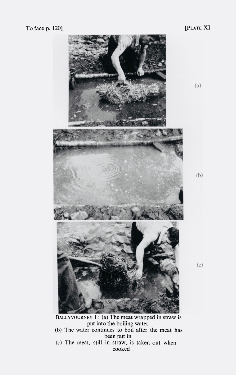
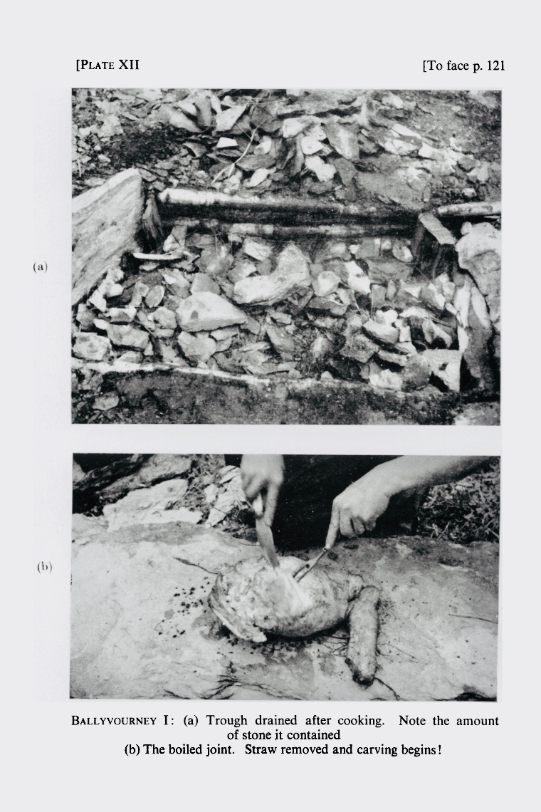
From Prof O’Kelly’s report on his excavations come these photographs of his cooking experiments

We do tend to think of them as cooking-places, though, largely because of the experimental work carried out by Prof Michael J O’Kelly in the 50’s. I remember him telling us about it when I was a student in his classes and I can still see the obvious relish with which he described the juicy leg of mutton that emerged from the simmering trough after almost four hours (they used the 20 minutes to the lb and 20 left over formula) and how clean the meat was when unwrapped from its straw casing.

But the brewing argument is compelling too – just take a look at this experiment by two archaeologists making ‘a prehistoric home brew!’

But what about a site like our one, half buried in the sand? It turns out that there’s a similar one in Cork at Lispatrick on Courtmacsherry Bay, that was visible when first discovered at low tide but underwater at high (see note from Jerome Lordan in the comments). Thanks to Alan Hawkes for alerting me to that one. Alan is the author of The Archaeology of Prehistoric Burnt Mounds in Ireland, the most comprehensive study of fulacht fia ever undertaken.

This photograph of the Lispatrick site is taken from Iverni

There’s another one at Creedon in Waterford (below) and that one is made of wood – thanks to Simon Dowling for sending me a 3D image of it (not shown), showing toolmarks on the wood

The wooden trough of the fulacht fia at Creedon Beach in Co Waterford, discovered by local historian Noel MacDonagh (photographer unknown)

Possibly the most helpful site to use as a comparison to Ballyrisode is the inter-tidal fulacht fia from Coney Island in Sligo. We are fortunate that the site was thoroughly analysed by James Bonsall and Marion Dowd of IT Sligo, and the results published in The Journal of Irish Archaeology in 2015 and available through JSTOR. (Thank you for the link, James Bonsall.) Ciarán Davis found the site and also participated in the excavation and he has kindly shared some of his photographs with me. Thank you, Ciarán!*

This and the following two photographs are of the Coney Island (Sligo) sites, kindly shared by Ciarán Davis

Like Ballyrisode, the trough is stone-lined and full of sand from the movement of the tide, which covers it at high tide. It was dated using a charcoal layer beneath the floor slab, to the Late Bronze Age (making it about three thousand years old).

The flat slab at bottom right has been interpreted as a kneeling stone – such stones have been observed elsewhere

The authors point out that it is impossible to tell whether the intertidal location of many such sites is a planned feature, or whether they were originally on dry land and have ended up in the intertidal zone due to erosion or shifting sea levels.  However, at Coney Island it seemed clear that the fulacht fia had been deliberately constructed such that it filled with water at high tide and held that water for several hours afterwards. The presence of a nearby midden indicated that this fulacht fia may indeed have been used to boil fish and shellfish in salt water – an efficient (and delicious!) method of cooking seafood.

So there you have it – an exciting new discovery to add to the archaeology of West Cork! This summer has seen incredible new finds in the Boyne Valley, due to the unusually dry weather and the emerging technology of drone photography. While our find is not in the league of a Dronehenge, it’s always good to know that there is still lots to discover in the wonderful West Cork landscape.

Péacáin Revisited

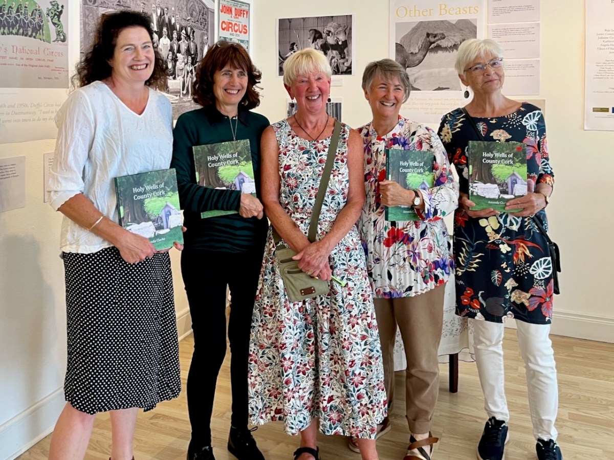
This was the scene in the Working Artist Studios, Ballydehob, on Friday evening. It was the launch of a brand new book by our friend Amanda Clarke: Holy Wells of County Cork. That’s Amanda, above, in the centre, with Finola on her left. Regular readers will know that we share many adventures with Amanda and Peter, and we were so pleased to see the successful fruition of her years of research with this outstanding volume, exquisitely designed by Peter, now available to purchase online, and in bookshops. Finola wrote about this venture last week. I thought I would indirectly celebrate it today by reviving a Roaringwater Journal post from five years ago, about one of our own expeditions that included a visit to a holy well.

Once again we followed in the footsteps of Amanda and Peter: they had visited the Glen of Aherlow in County Tipperary and pointed us to St Berrehert’s extraordinary site at Ardane which I described in this post. Not far away is another site, equally remarkable, and related to St Berrehert’s Kyle in that they were both restored by the Office of Public Works in the 1940s. They are also both very easily accessible in a few minutes from the M8 motorway at Cahir.

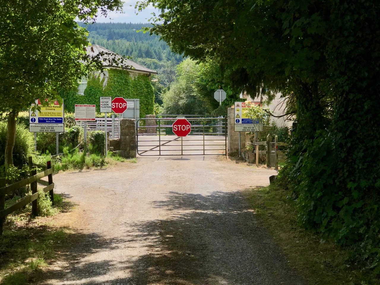
We were delighted to be travelling again through the beautiful Glen in the shadow of the Galtee Mountains (above) as we searched out a boreen that led us down to the railway. We parked and crossed at the gate, watching out carefully as this is the Waterford to Limerick Junction line used by two trains a day (except on Sundays!)

Once across, we were in an idyll. It’s a private lane, running alongside a gentle stream, but the Bourke family allow visitors to walk (as they have done for centuries) to the old church, the cell and the holy well of Saint Péacáin. Ancient stone walls line the way, and trees overhang, shading the dappled sunlight in this most exceptional of Irish seasons. We met Bill Bourke, who regaled us with tales of his life spent mostly far away from this, his birthplace – but who returned to rebuild the family home and to enjoy perpetual summer in what is, for him, the most beautiful setting in the world. He also told us of the crowds who used to come to celebrate St Péacáin at Lughnasa – 1st August – paying the rounds and saying the masses.

In her monumental work (it runs to over 700 pages) The Festival of Lughnasa – Oxford University Press 1962 – Máire MacNeill points out the harvest feast day was such an important ancient celebration that it survives as the focus of veneration of many local saints who would otherwise have been known for their own patron day, and she particularly mentions Tobar Phéacáin in this regard: a place well away from any large settlement where the great agricultural festival was so critical to the cycle of rural life.

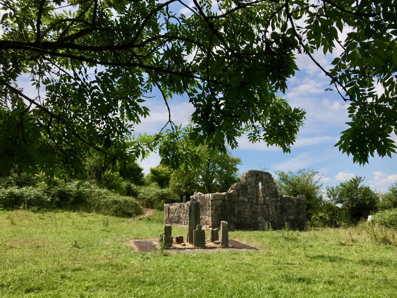
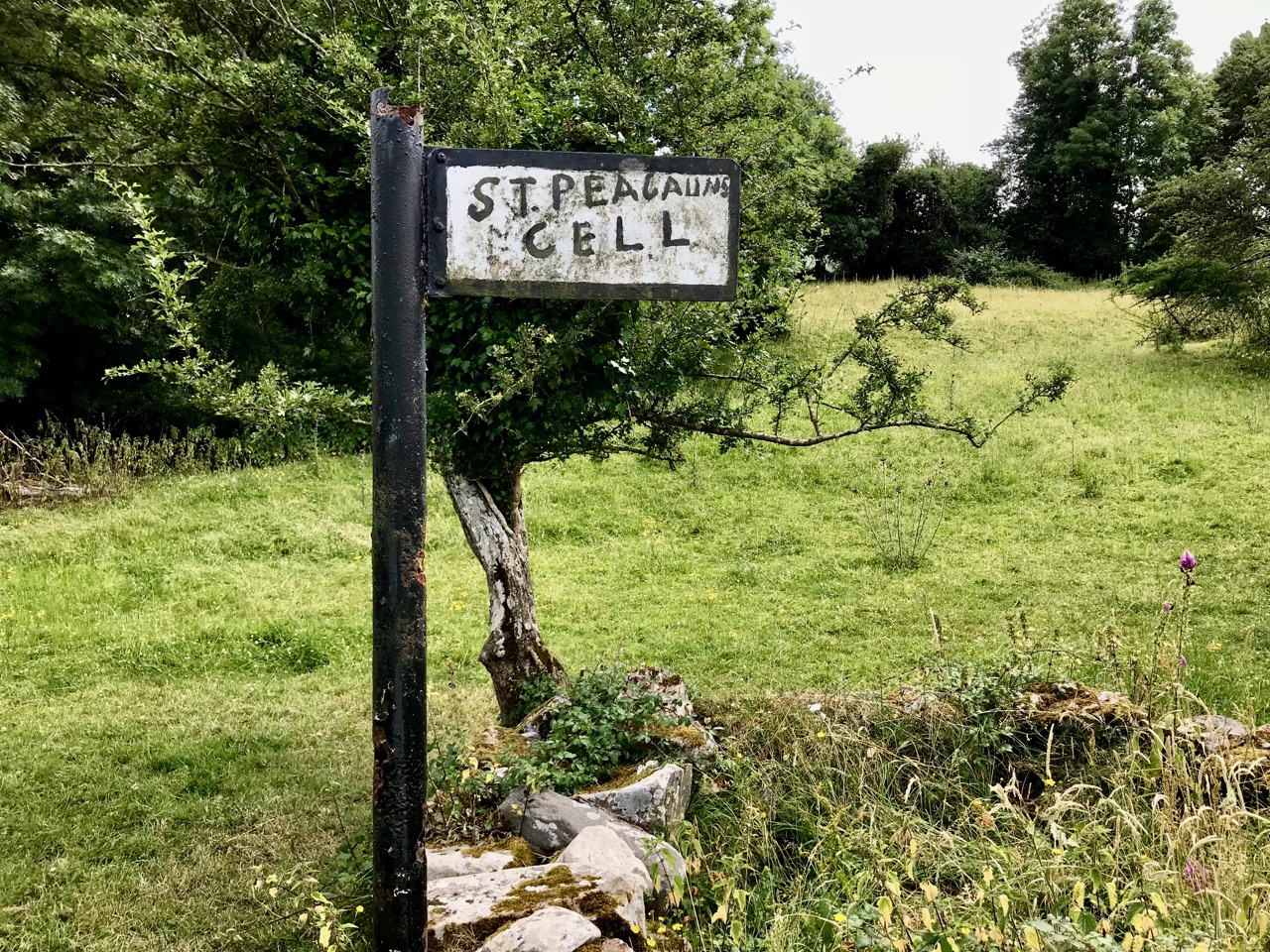
The rural setting of St Péacáin’s Cell can be seen above, just in front of the trees; the church and the well are nearby. MacNeill provides a description of Tobar Phéacáin and includes some variant names:

. . . Tobar Phéacáin (Peakaun’s Well), Glen of Aherlow, Barony of Clanwilliam, Parish of Killardry, Townland of Toureen . . . On the northern slope of the Galtee Mountain at the entrance to the Glen of Aherlow and about three or four miles north-west of Caher there is a well and ruin of a small church. About a mile beyond Kilmoyler Cross Roads a path leads up to it . . . In 1840 O’Keefe, of the Ordnance Survey team, reported that the old church was called by the people Teampuillin Phéacáin, or just Péacán . . .

. . . The well, which he described as lying a few perches south-east of the church was called Peacan’s Well or Tobar Phéacáin. It was surrounded by a circular ring of stonework. He stated: ‘The pattern-day still observed at this place falls on the 1st of August, which day is, or at least until a few years since, has been kept as a strict holiday.’ Devotions were also, he said, performed there on Good Friday . . .

A hundred years after O’Keefe wrote this, the church ruins were tidied up by the Office of Public Works. As at St Berrehert’s Kyle, it seems there were numerous carved slabs on the site and remnants of high crosses, implying a significant ecclesiastical presence here. All these have been fixed in and around the church ruin for safekeeping, and in an intelligent grouping. It’s wonderful to be able to see such treasures in the place they were (presumably) made for, and to experience them in such a remote and peaceful ambience.

McNeill continues:

. . . Nearby is the shaft of a cross which tradition avers was broken in malice by a mason who was then stricken with an inward pain and died suddenly as a punishment for his sacrilege . . . O’Keefe was told a story of a small stone, 6 or 7 inches long and 4 or 5 in depth, having ten little hollows in it and resting in a hollow of the ‘altar’ of the old church. Christ, or according to others St Péacán, asked a woman, who had been churning, for some butter; she denied having any and when the visitor departed she found the butter had turned into stone which retained the impression of her fingers . . . Nuttall-Smith speaks also of a cave where the saint used to practice austerities . . .

The carved fragments are quite remarkable and are in all likelihood well over a thousand years old. I have yet to see anywhere in Ireland – outside of museums – which has such an extensive collection of fascinating medieval antiquities as these sites in the Glen of Aherlow. Here you can also see cross slabs and a sundial said to date from the eighth century.

Nuttall-Smith’s ‘cave’ – quoted by MacNeill above – is likely to be St Péacáin’s Cell, set in a field on the far side of the river. This was probably a clochán, or beehive-hut, of the type once used by anchorites. It is protected by a whitethorn tree, but was quite heavily overgrown on the day of our visit. We could make out the ballaun stones inside, said to be the knee prints of the Saint who made his constant devotions there. Amanda – in her post on the holy well – reports that Péacáin would also stand daily with arms outstretched against a stone cross, chanting the psalter.
McNeill discusses the significance of weather at the August celebrations:

. . . Paradoxically for a day of outing so fondly remembered, no tradition of the Lughnasa festival is stronger than that which says that it is nearly always rainy. No doubt this has been only too often experienced. Saint Patrick’s words to the Dési: ‘Bid frossaig far ndála co bráth’ (Your meetings shall always be showery) must be as well proved a prophecy as was ever made. Still there must be more significance in the weather beliefs than dampened observation. Certainly it was expected that rain should fall on that day, and sayings vary as to whether that was a good or bad sign . . . There are a few interesting beliefs about thunder, which was also expected on that day: the loud noise heard at Tristia when the woman made rounds there to have her jealous husband’s affection restored; the prophecy that no-one would be injured by lightning at Doonfeeny, a promise also made by St Péacán . . .

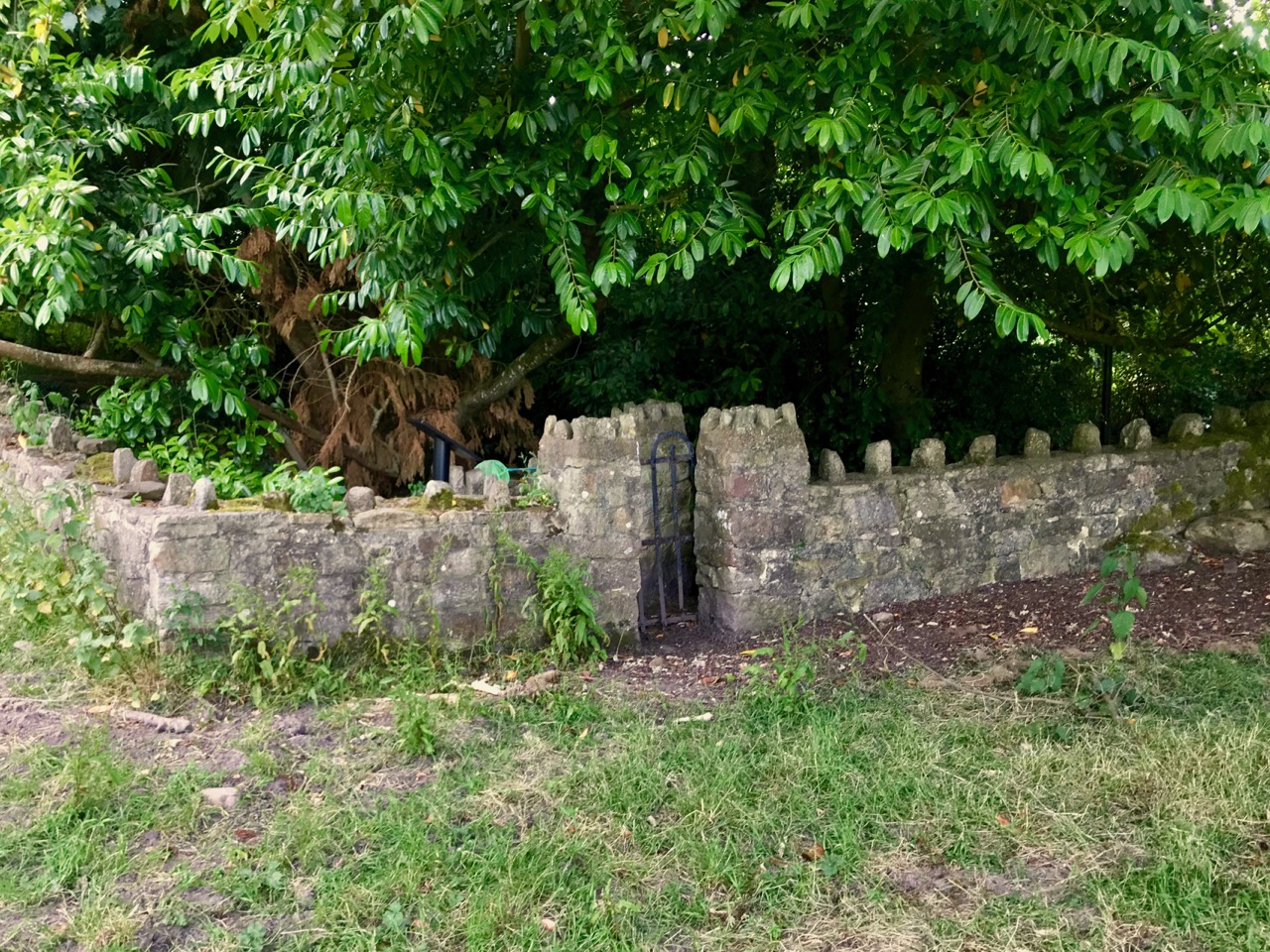
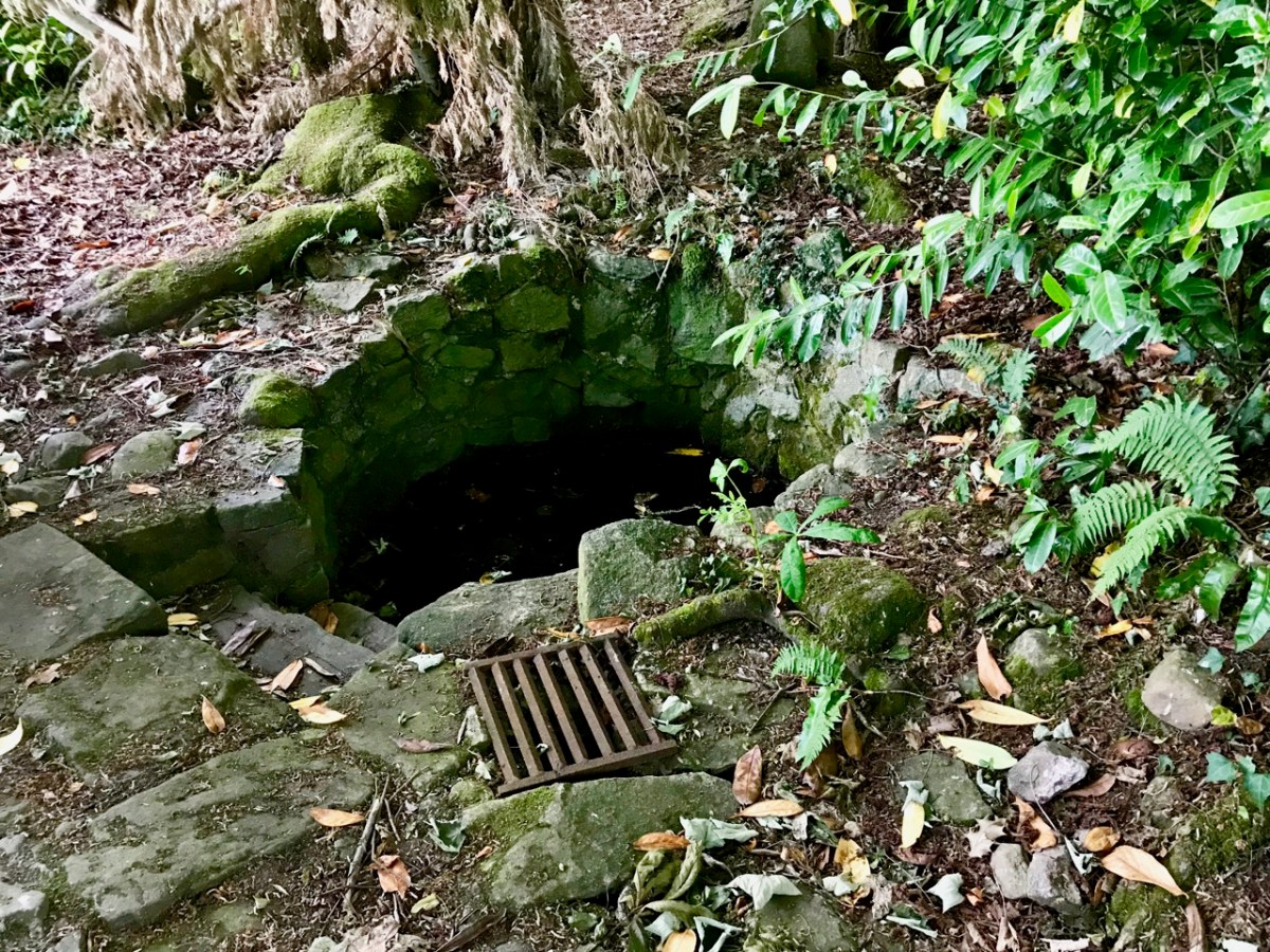
The holy well is tucked away in a stone-walled enclosure hidden under the trees on the edge of the field which contains the Saint’s cell. It is also a tranquil place, obviously still much visited: the water is crystal clear, refreshing and will ensure protection from burns and drowning.  This is a magical setting to complete our day’s travels in the beautiful Glen of Aherlow.

Prehistoric West Cork

What’s your favourite thing to do in West Cork? Ours is to pull on our boots and go on a field trip – often archaeological. To encourage you to enjoy the wealth of prehistoric sites West Cork has to offer, I’ve made a slideshow. It’s a fairly random selection of sites, but they are all prehistoric and all visitable. The music is Sliabh na mBan by the incomparable Liam O’Flynn, from the album The Piper’s Call.

For more information on any of the sites, type its name in the search function at the top of the page. We’ve written about all of them at one time or another. Then pull on those boots!

Fort of Gold 2: The Castle

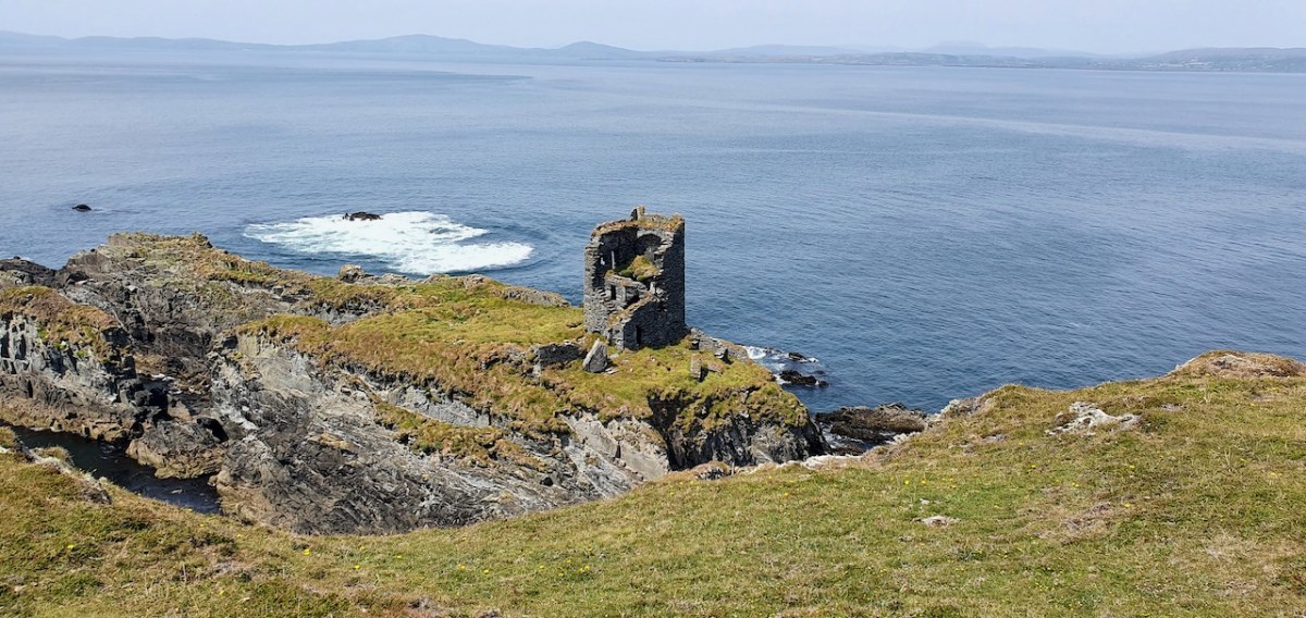
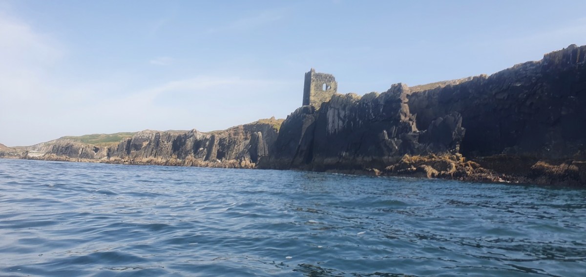
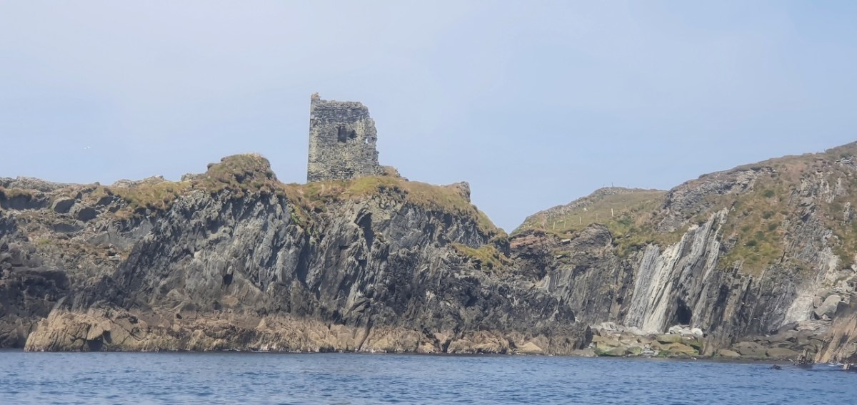
This post will be about the castle itself, as a follow-up to Part 1 about the promontory and historical background. I received some very interesting comments on the name, Dún an Óir, which I interpret as Fort of Gold, and I will write more about that at the end of this post. If you are not familiar with castle architecture, before you start, you might want to browse my castles page and pay attention to how they were built and what the castles of Ivaha generally looked like. Unless otherwise identified, all the photographs in this post were kindly sent to me by Tash, one of our readers. In this one, taken from the sea, the impregnable siting of the castle can be appreciated.

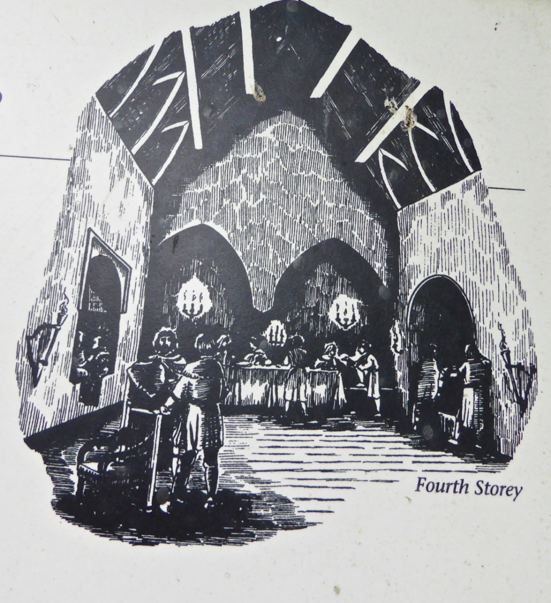
The castle was surrounded by a bawn wall, clearly visible still. Three floors (ground, first and second) were surmounted by a ‘partial vault’, above which was the principle chamber or solar – the private domain of the castle owner and his family but also where visitors were entertained.  Above that was a mezzanine floor and above that again was a wall walk, accessed via a spiral staircase from the main chamber. 

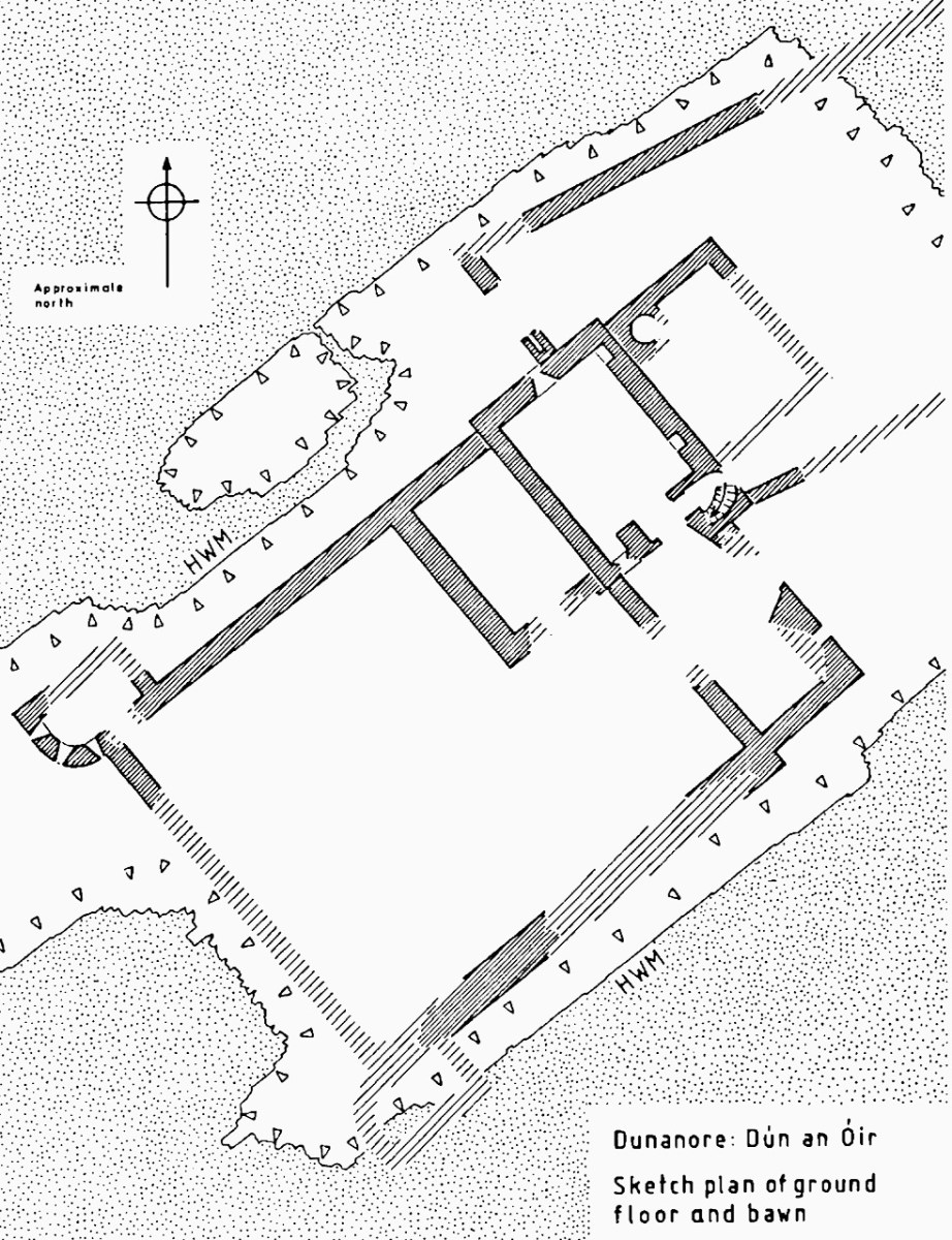
In her paper on this castle*, Sarah Kerr points out that it is, in fact, unlike the other O’Driscoll Castles of Dún na Séad and Dún na Long, and indeed other West Cork Castles, in that it only had one entry, at the ground-floor level. It is possible, she says, that the tower was so well defended naturally by its position, that a raised entry (an additional line of defence) was unnecessary. She also points out that a raised entry functioned as a status symbol, since it was the entry used by the chief to access the private rather than the public spaces within the tower. Perhaps Dún an Óir was therefore a lower-status castle, occupied by a garrison rather than by a chieftain. She provides this plan

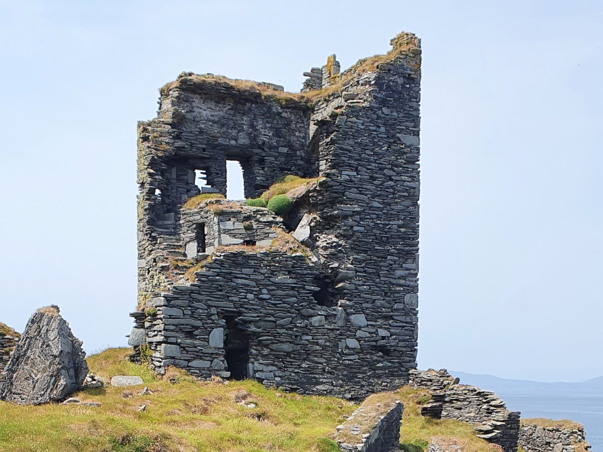
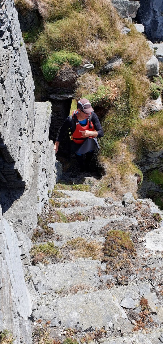
Another unusual feature is the small projecting tower that contained the garderobes. You can see that projecting addition in the plan, above, and in the photograph, below. The entry led up, via a mural staircase to a door giving admittance to the first floor, and carrying on to entries at the second and third floor levels. From there, another stairs led up to the wall walk.

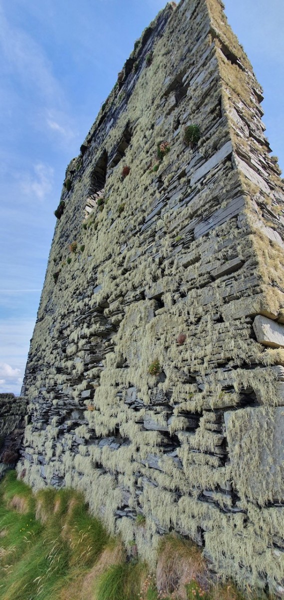
Flat slabs were used to dress the outside of the walls, the same construction method as at Dunlough, although not as finely built. 

Instead of a complete vault, such as we see at Dunmanus or Rincolisky, there is a ‘partial vault’, described by Samuel:

Two free arches resembling ‘slices’ of a barrel vault were built. The gaps between the arches and the walls created were lintelled over with large overlapping slabs. This ‘economy’ vaulting was much lighter than a complete vault. 

The Tower Houses of West Cork by Mark Samuel

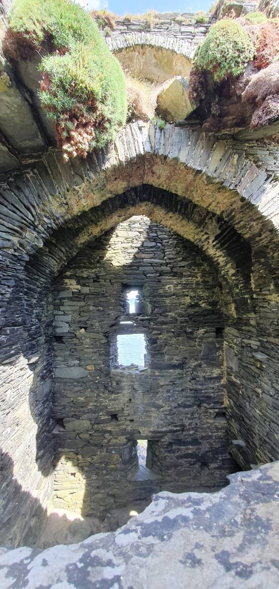
In fact, this type of internal vaulting is not that unusual in West Cork – we saw it at Dunlough and in the small tower at Dunworley. At Dunlough, we can still see many of the large slabs of slate that once bridged the gaps between the arches of the partial vaulting, while at Dunworley the roof is still intact. In Tash’s photograph below you can see the double arches and the full extent of the three floors below them, as well as the chamber above which would have had a pitched wooden roof..

The top room, or chamber, was very high with a pitched roof supported at each end with an archway. The archway also allowed the top of the wall to be kept clear to form a wall walk. A conjectural reconstruction drawing at Ballinacarriga conveys the idea, although Dún an Óir only had one arch, not two.

The battlements have disappeared – they were likely Irish crenellations consisting of stepped merlins and crenels (see here) – but the wall walk can still be discerned. As you can see below, the steps can still be climbed by those brave enough.

Quite a bit of the bawn wall survives, although of course it would have been much higher (possibly as described here). If the sheer cliffs were not enough to deter any thought of attack, the walls would have provided an additional barrier. Unfortunately, they were not able to withstand cannon fire, let alone the passage of hundreds of years. Sarah Kerr has an interesting take on this wall:

Bawns are often considered an additional defensive feature, or at least deterrent. Dún an Óir’s in this regard is somewhat excessive as anyone who could scale the rocky façade of the promontory would likely not be deterred by additional few metres of wall. The bawn, however, would have provided the inhabitants a layer of safety against accidental falls and protection from some of the inclement weather, such as high winds and storm waves from which Roaringwater Bay gets its name. These humdrum practicalities of the medieval lived experience have often been overlooked in castleology or castle-adjacent buildings archaeology, however, it is this very granularity which deepens our understanding of how these buildings worked.


Networked Control: Tower Houses in Ireland by Sarah Kerr

The bawn, in Samuel’s estimation, (that’s his plan above) was big enough to accommodate quite a large herd of cattle. An interesting feature is that of an outside kitchen with an oven, reminding me of what was uncovered at Rincolisky, another O’Driscoll castle, in recent excavations. In the plan above the oven is the circular feature at the north corner of the tower. Other buildings stood inside the bawn, although their purpose is not clear. There may have been a gatehouse, and the ‘possible wall embrasure’ in Kerr’s plan is viewed by Samuel as a corner turret. Samuel lays out what he can interpret of the various walls that surround the castle:

The continuous and well-preserved north wall of the bawn terminates to the west with a return that runs a short distance north before being broken away. This is the inner face, a turret with gunloops which defended the bawn. The curved outer wall enfiladed the mainland with three widely splayed gunloops.

The interpretation of the ruins east of the tower house is more difficult. Erosion has removed the eastermost part of the defences. Two separate walls on the east side of the tower diverge from its orientation; running approximately due east they seem to have formed the north and south walls of a smaller enclosure containing another building. At the west end, the north wall meets a wall (the junction is destroyed) with a gate which abuts the north face of the tower. The robbed jambs of a large gate survive on the east face of the wall and indicates that the gate swung inwards to the west where another enclosure presumably existed. A deep drawbeam is visible in the south jamb. This gate now leads almost directly into a deep ravine. A fair-weather landing stage may have once existed on this side of the island but it would have rarely have been safe to use.


The Tower Houses of West Cork by Mark Samuel

Sarah Kerr positions Dún an Óir in a network of O’Driscoll castles that together worked to control the resources of Roaringwater Bay, to levy fishery dues, monitor trade, and defend territory when necessary. Within this network, the highest status tower, and probably centre of administration was Dún na Séad (Baltimore). The highly visible nature of all these castles, some on promontories and all visible from the sea, were ‘manifestations of authority, wealth and status.’ She posits that: 

Due to Dún an Óir’s lack of a slipway, natural harbour or rock-cut steps, it is unlikely that manging the fish produce was a primary role at this dwelling, particularly as Dún na Long and Dún na Séad were more suited to such tasks. Instead Dún an Óir probably managed the victualing and collection of fees from passing ships, indicating that the tower houses worked in unison. It appears that each tower house had a specific role which complemented one another, as such they were unique actors that performed as a network

Networked Control: Tower Houses in Ireland by Sarah Kerr

It’s surprising how much we can tell from the remains of this once prominent symbol of power. It will never be on a tourist trail and I would not advise anyone to try to access it – but as you can see, Tash and his group managed it.

In response to my first post I had several suggestions for alternate titles on Facebook. Ruamann Ua Ríagáin proposed an alternate interpretation as Dún an Ár, or Fort of the Slaughter. There are no indications that there was any tradition of cattle-slaughtering at this site, nor any record of a massacre. However, it remains a possible interpretation. Another reader, Tom Driscoll found another Dún an Óir which was assumed to come from Dún an Ochair, meaning Fort on the Brink/ Cliff Edge. Certainly apt for this location. Finally, note the long comment on Part 1 by OVERSEASGREATGRANNY who is trying to trace similarly named forts and relate them to Irish history – quite fascinating.

When the storms rage over Roaringwater Bay it is natural to wonder how long this castle can last, isolated on its spit of land and open to the full force of nature. But it is also a comfort to know that the castle builders built it so well that it has lasted now since it was built around 1450 and battered in 1601. Here’s to another few hundred years!

Thanks again for the superb photos, Tash!
Sarah Kerr of UCC has kindly shared with me her draft paper, Networked Control: Tower Houses in Ireland. I thank her sincerely for permission to quote from this unpublished paper.