York or Cork?

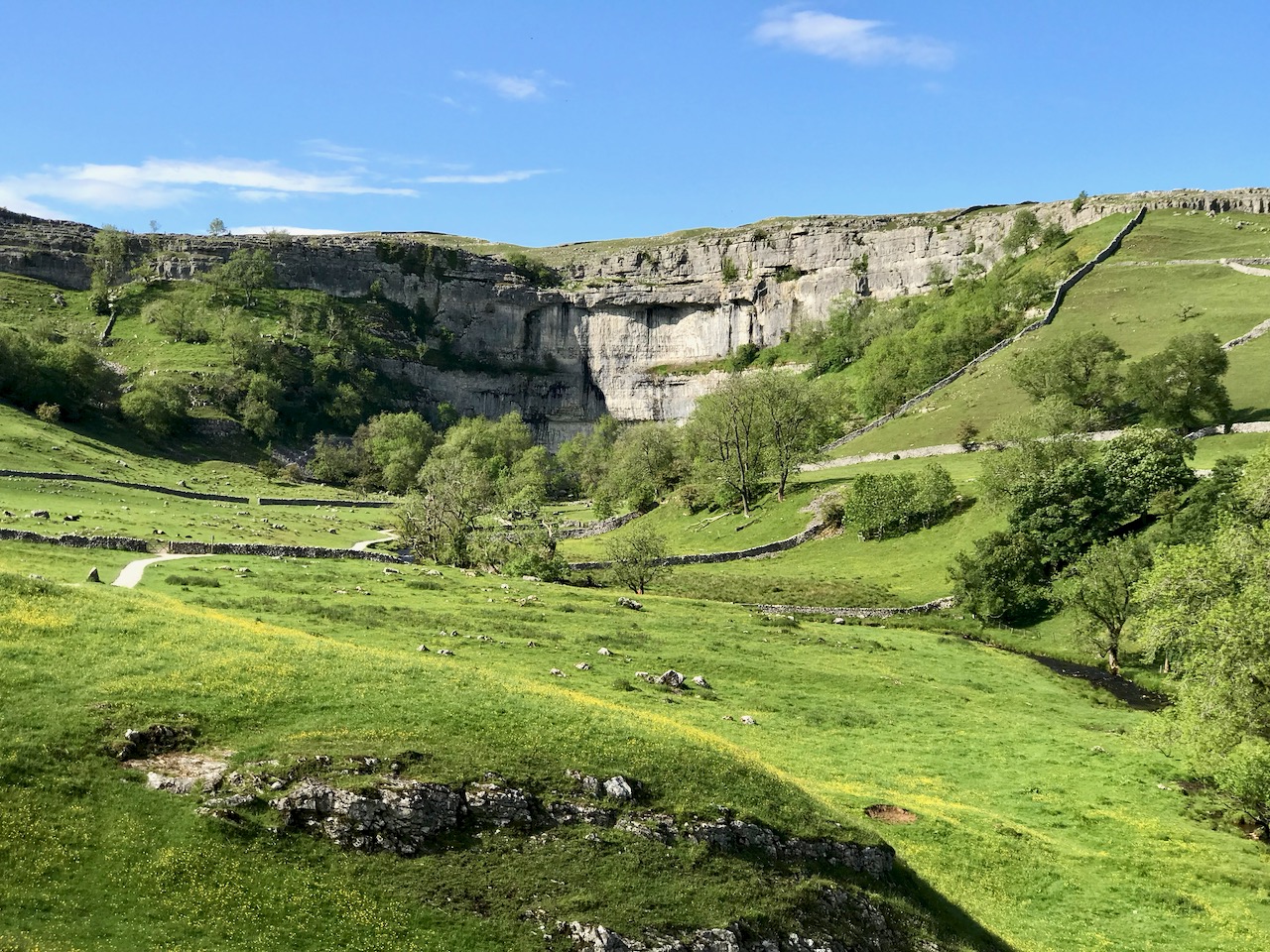
If this seems an enigmatic title, it is reflective of the fact that Finola and I have just visited Yorkshire, where  – for Finola’s birthday – we treated ourselves to a superabundance of medieval architecture and some idyllic wanderings in the Dales (that’s Malham Cove, a spectacular limestone cliff and pavement, above). This set me to thinking about comparisons between the county of Yorkshire and our own County Cork: both are the largest counties in their respective countries, but Yorkshire – at 14,850 km2 – is almost double the area of Cork, 7,500 km2.

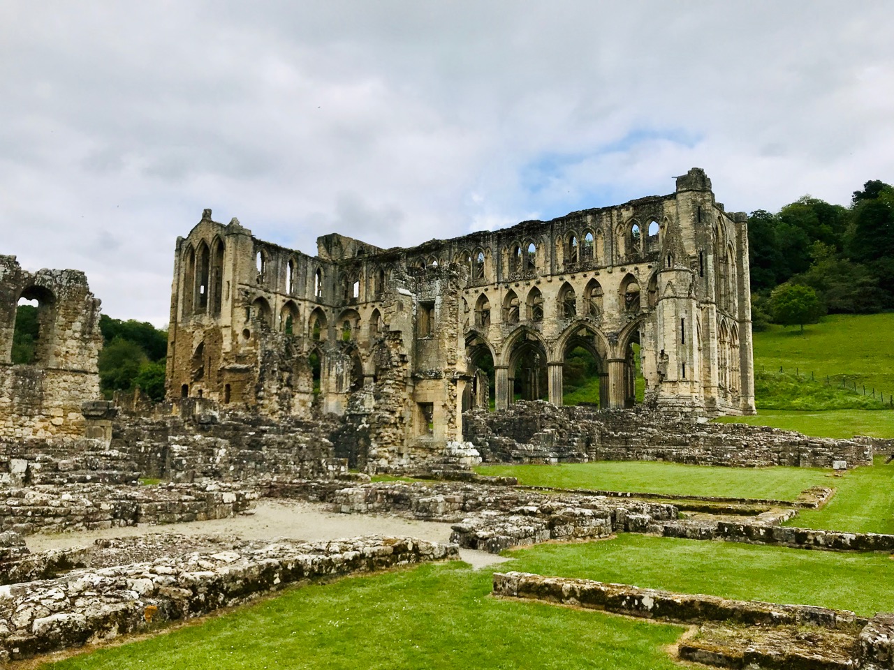
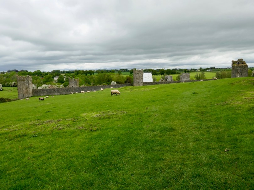
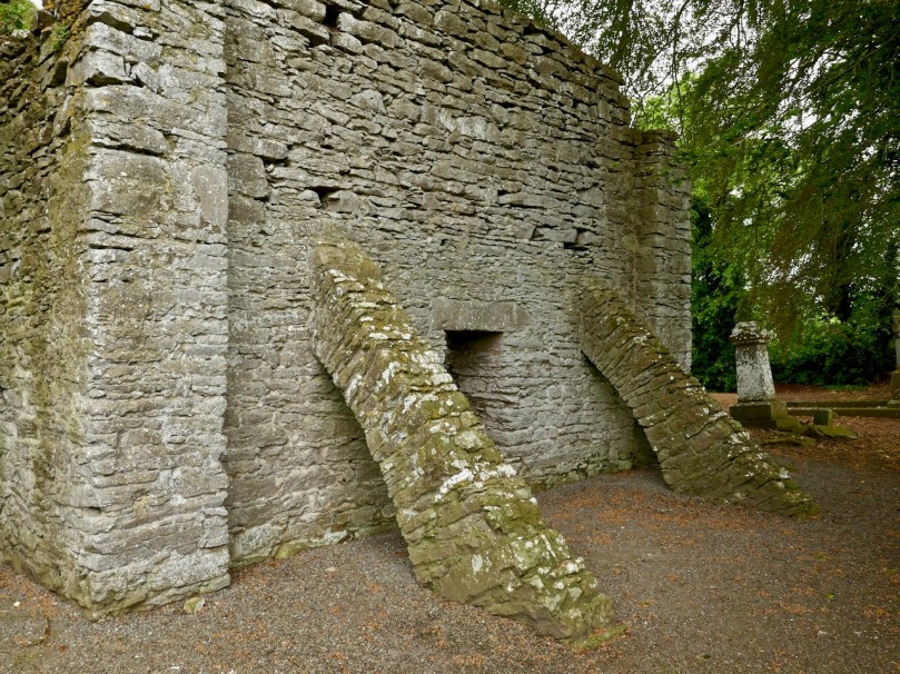
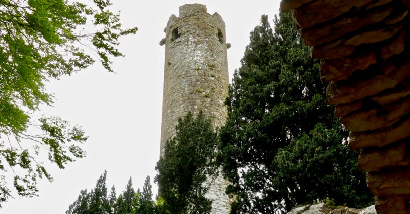
The gaunt ruins of Rievaulx Abbey in North Yorkshire: this was the first great Cistercian abbey in Britain, established in 1132. It became one of the most powerful and housed a community of 650 brothers at its peak in the 1160s under its most famous abbot, Aelred

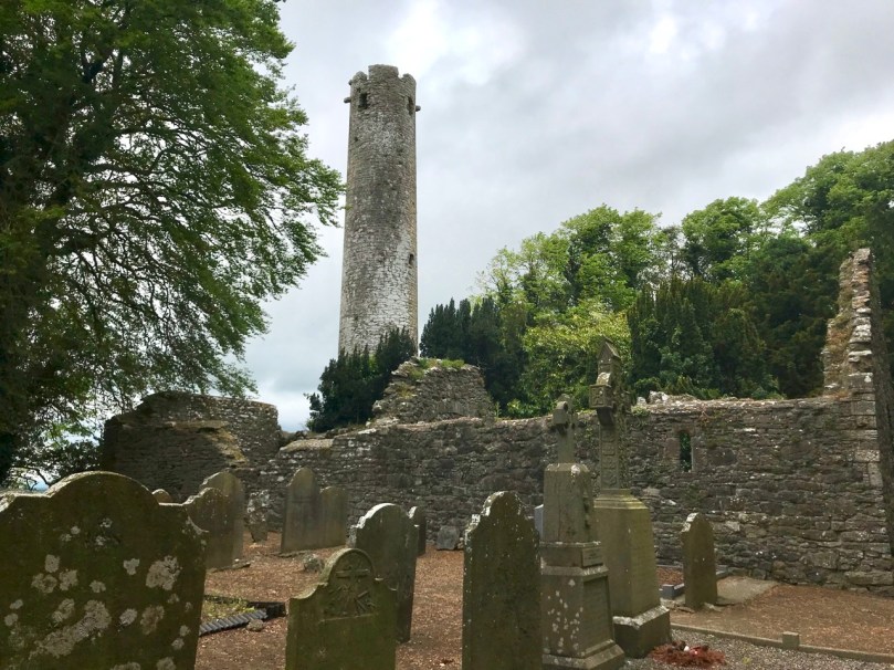
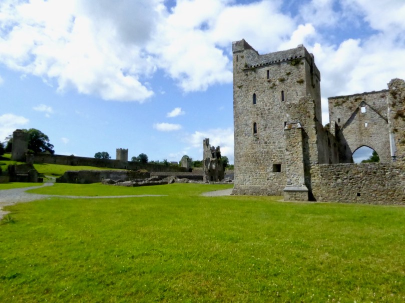
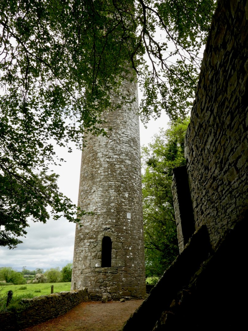
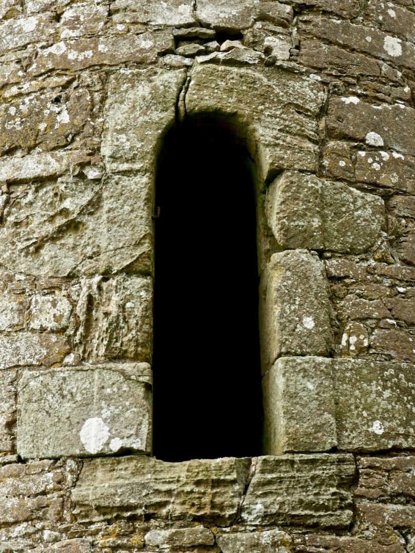
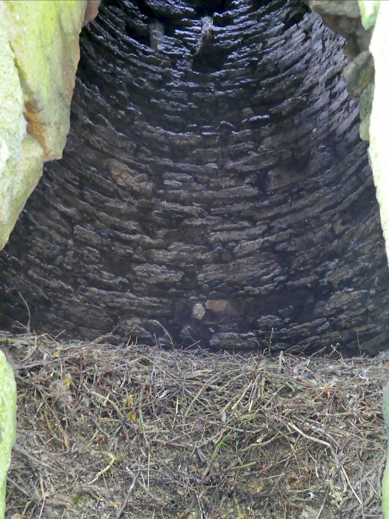
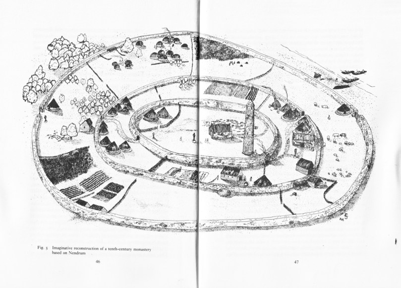
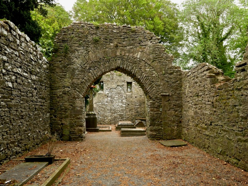
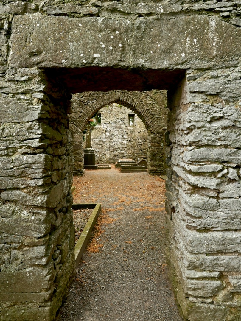
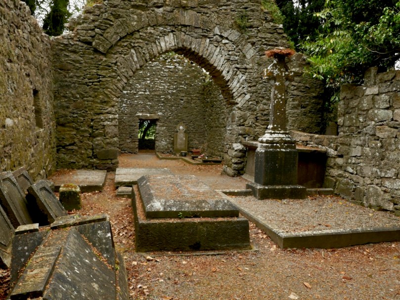
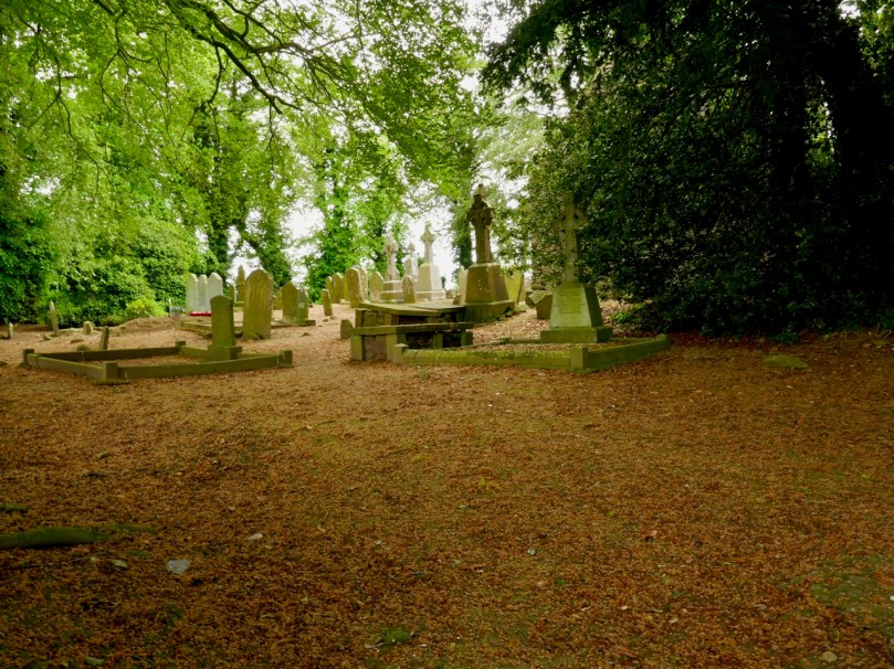
In Ireland we can’t compete with the sheer scale of the monastic settlements that we can see in Yorkshire. However, in spite of those impressive ruins which are so well cared for by the state and the National Trust, nothing can compare, for us, with the timeless serenity and isolated beauty of places such as Kilree, which Finola described in a recent post.

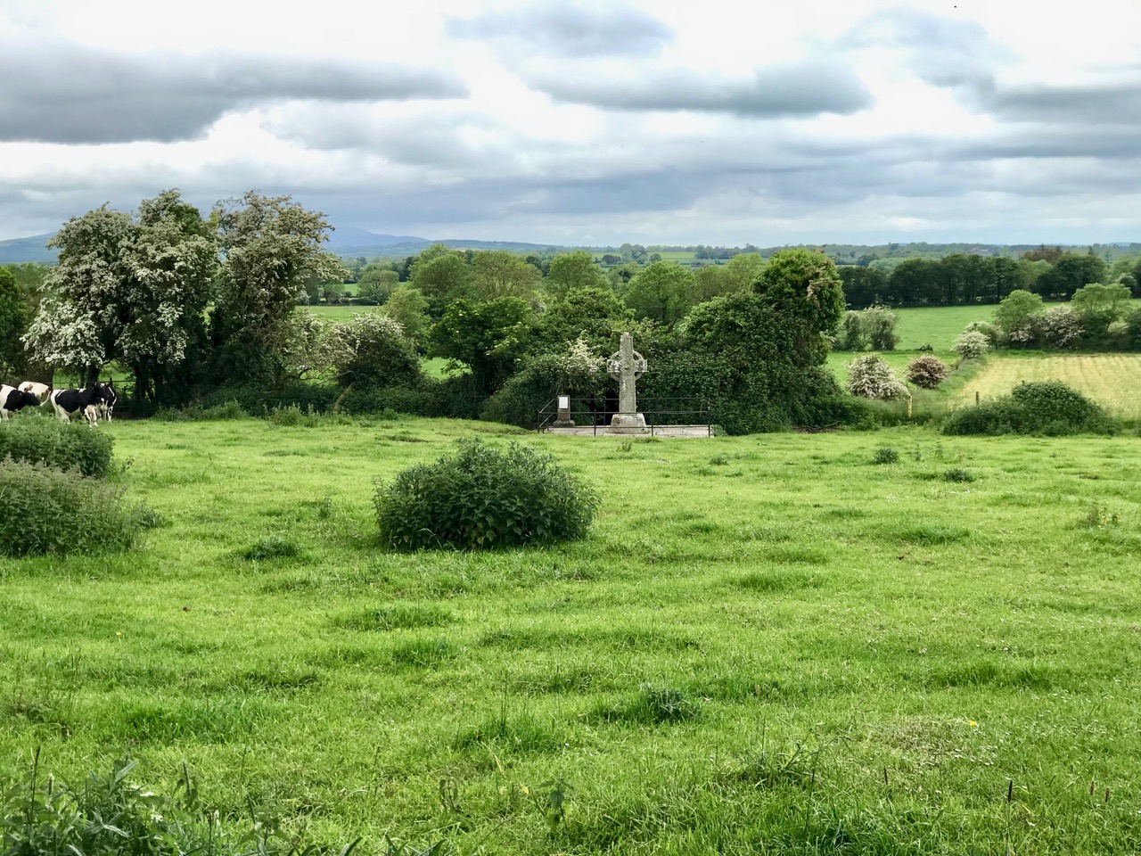
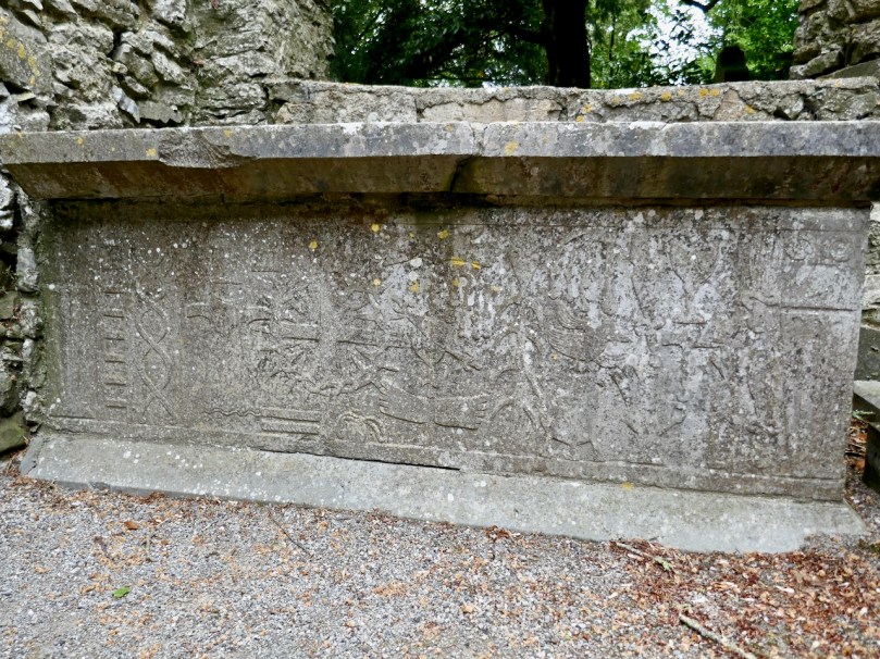
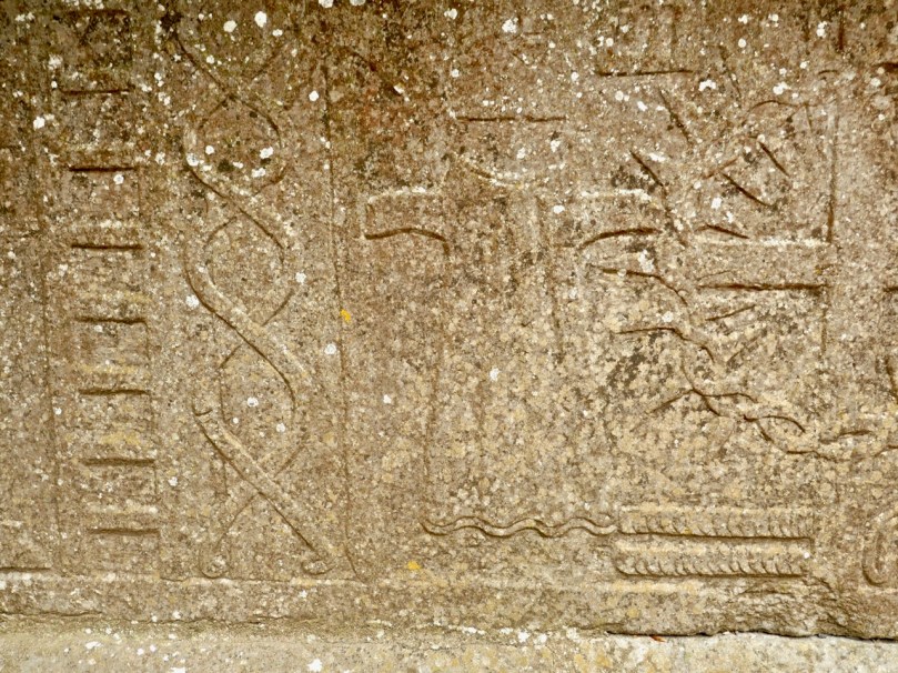
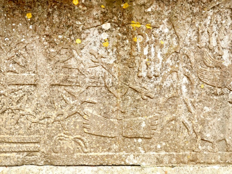
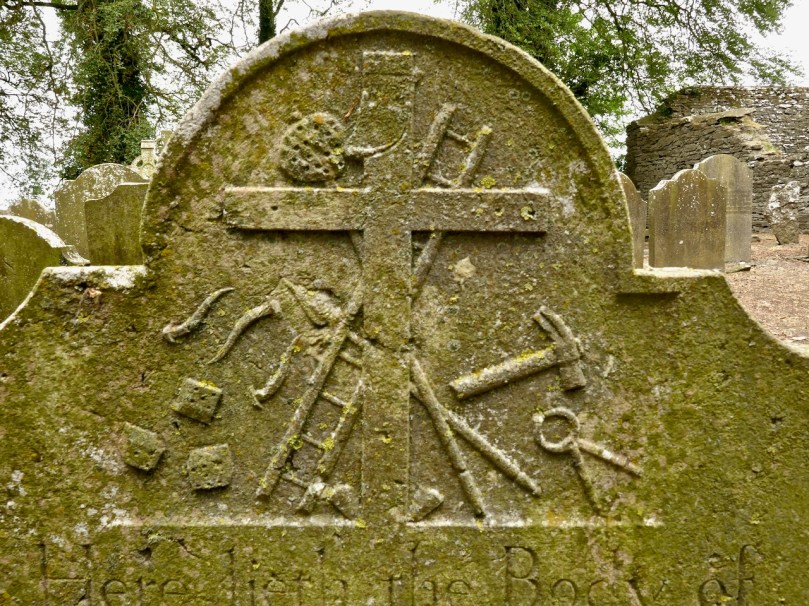
The medieval High Cross at Kilree, Co Kilkenny. This example of ecclesiastical art probably dates from the 8th century and stands remote and seldom visited, deep in rural Ireland – a reclusive gem

I feel that this post gives me an excuse to tell a little Cork / York story that I learned many years ago from Gerald Priestland, the BBC’s religious affairs correspondent from 1977 to 1982 – who lived not far away from me in West Penwith, Cornwall. Priestland was researching the history of the Parish of St Buryan in the far west of the peninsula: the Irish saint, Buriana, was said to be the sister of St Piran, Patron Saint of Cornwall – who, you will know from reading my posts – here, (and here), was born on Cape Clear, just over the water from us in West Cork, where he was known by the name of St Ciarán. Finola is republishing another post about Cape Clear today.

The coast of West Penwith, Cornwall: Gerald Priestland lived here – on the hill, and I lived not far away – over the hill

St Buryan was known as “The Wickedest Parish in Cornwall” in earlier times – I can’t vouch for its present day reputation! This was supposedly because the settlement (which Priestland describes as . . . a bleak and haunted landscape . . .) received a special privilege in the year 936 from the Saxon King Athelstan as he was passing through on his way to defeat the Danes on the Isles of Scilly. He founded an independent College of Priests at St Buryan and layed down that the lands (some 770 acres) . . . are to be exempt from all secular assessment; but not from the rendering of prayers which the clergy have promised me (that is, Athelstan): 100 Masses and 100 Psalters daily . . . The Domesday Book confirms that Buryan maintained its freedom from taxation but also confirms the charter that . . . the privilege and ordinance of sanctuary and aforementioned liberty may not perish through old age . . . That is to say that St Buryan was made a place of sanctuary then, and will remain so always. The consequence of this was that any wrong-doer or fugitive, instead of having to go into exile, could live freely within the parish boundaries without suffering any punishment – forever. So the place filled up with felons, brigands, rogues and villains!

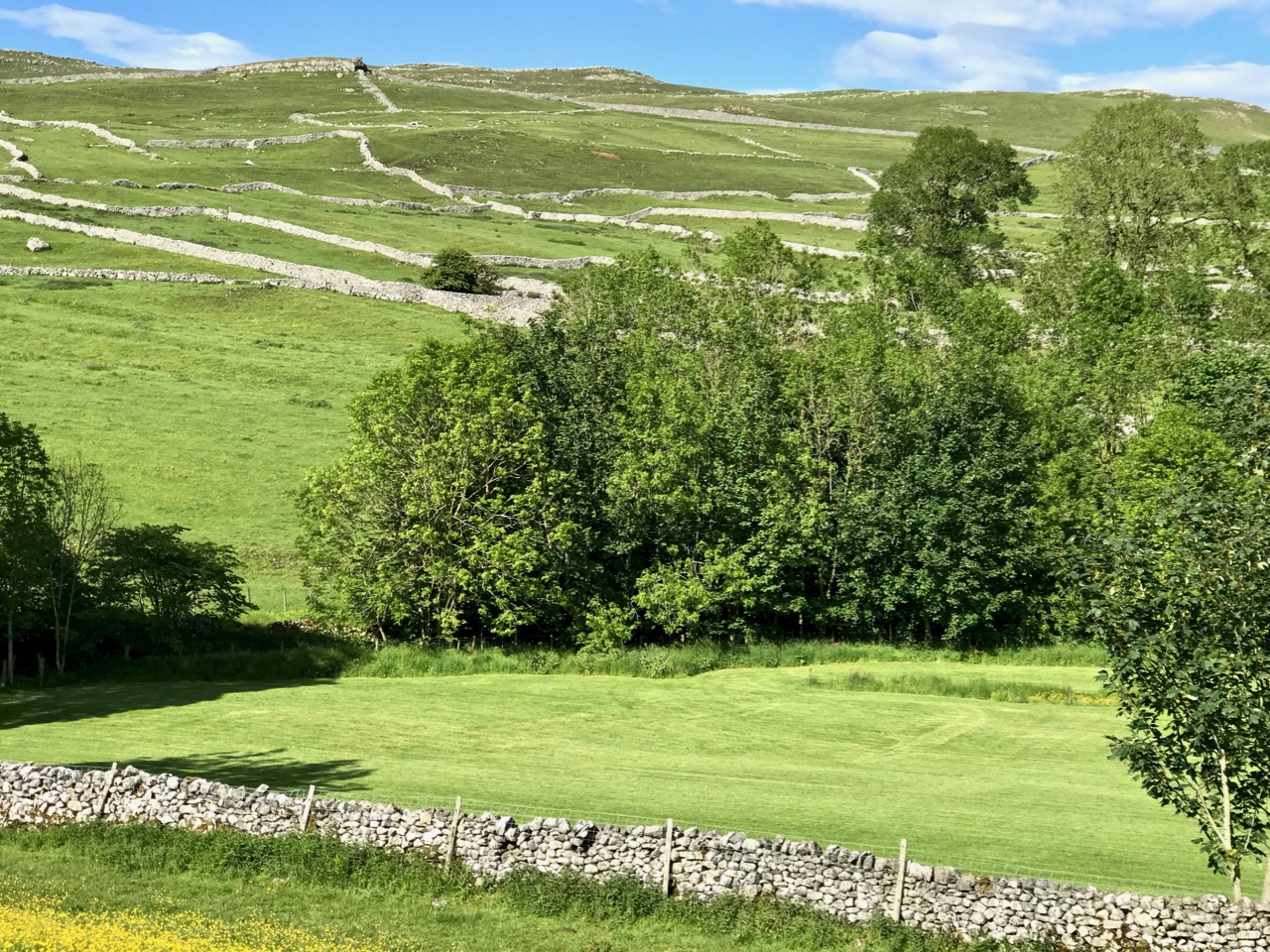
Scenic Yorkshire: landscape of the Dales (just to remind you of the subject of today’s post)!

St Buryan became – and remained – a den of iniquity. So much so that in 1328 the Bishop of Exeter, Grandisson, was forced to excommunicate everyone in the settlement. Priestland writes:

Grandisson came as close to the boundaries of Buryan as he dared, and from the top of St Michael’s Mount – six miles across the water – he pronounced the fulminacio sentencio contra Barianes – the Greater Excommunication against the people of Buryan. The bell was tolled and the book and candles were cast down. There are not many parishes in England that can claim that very specific distinction . . .

Deans continued to be appointed to the parish – and were duly paid a stipend – but none of them ever went there. The last of the absentee Deans was Fitzroy Henry Stanhope, an army officer of ill reputation who had lost a leg at Waterloo (he was known thereafter as ‘Peter Shambles’). He was offered the position at Buryan in 1817 by his Commander-in-Chief, the Duke of York, in lieu of an army pension: it was worth a thousand pounds a year. There was one problem: Stanhope had to be ordained, but no-one could be found to do it. One day the Duke was told that his friend the Bishop of Cork was on Holiday in London. At once Stanhope was sent round in a carriage with the message:

“Dear Cork – Please ordain Stanhope – Yours York”

By sundown, he was back, with the reply:

“Dear York – Stanhope’s ordained – Yours Cork”

This incident has gone down in history as the shortest piece of official correspondence on record. And doubly justifies the title of my post today!

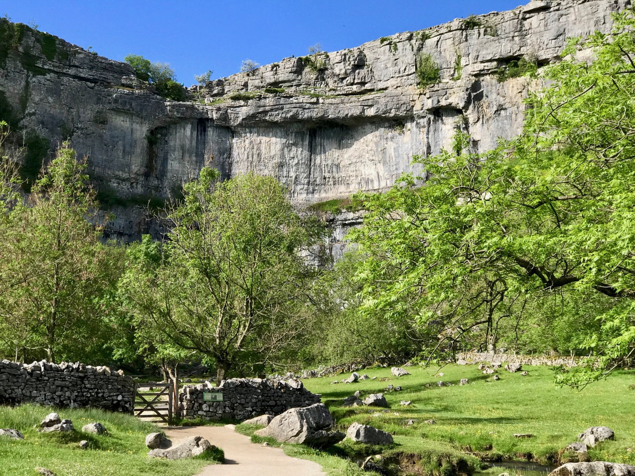
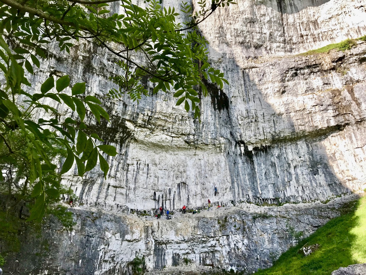
Malham Cove again: this geological formation would have been a huge waterfall as the glaciers began to melt after the last Ice Age. In the lower picture you can see the true scale of the place – look at those figures on the lower ledge! It is a popular spot for climbers

So – Cork, or York? We are very fortunate to be able to travel so easily to see the beautiful places of the world. But – always – the best part of travelling for me is coming home to West Cork: there’s no doubt where my heart is . . .

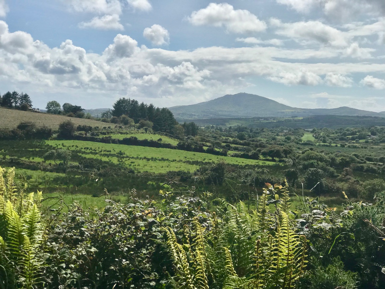
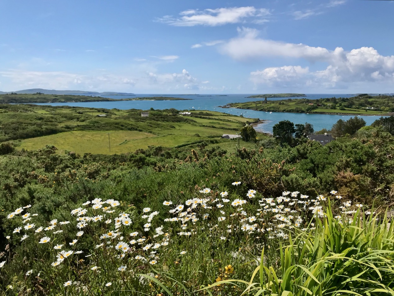
County Cork landscapes: Mount Gabriel (upper) and our very own view (lower) from Nead an Iolair, taken on the day I returned from Yorkshire. Below – looking across to the Mizen, from the Sheep’s Head.

Off the M8 – Kilree Monastic Site

Kilree is possibly the most perfectly contained and atmospheric site you will visit in Ireland. I defy you not to be enchanted with its leafy depths, its air of antiquity, and evidence of continued use. (I would also vote for Monaincha in Tipperary, a site that deserves its own post one of these days).

When you’re travelling from Cork to Dublin it’s easy to leave the M8 at Cahir and travel cross-country to join the M9. There are numerous sites to visit if you take this option: most recently we have written about Fethard and its Medieval Walls, but we also did a post about Kells Priory a long time ago (The Hallowed Fortress) and it remains one of our favourite sites and one of the most impressive monastic sites in Ireland. And don’t go without your copy of Ireland’s Ancient East by Neil Jackman – it’s our constant companion and a great resource. It’s available on Amazon but why not patronise your favourite bookstore?

Kells Priory, just up the road from Kilree and one of Ireland’s most impressive religious complexes

It’s a great contrast to Kilree. If you haven’t been to Kells Priory yet, try to take them both in, in the same day. What you will see is a typical example of an Early Medieval Irish monastic site (Kilree) and an excellent example of a large 12th to fifteenth century Augustinian Priory built to withstand the turbulent history of Kilkenny in those centuries. The monks in Kilree were living the life of Irish monastics in a pattern set down in the 6th century, while the Augustinians were mainstream European clerics invited over by the Normans.

Inside Kells Priory

The other things about Kilree is that it’s unspoiled (except for one thing – I’ll get to that later) and in Ireland, that means that the farmer who owns the land is using it. There’s a Bull sign on the gate and indeed there he was, with all his frisky bullock friends. We thought our chances of crossing the field were slim, but two friendly ladies on horseback offered to draw the attention of the cattle away from us so off we dashed while they were distracted, not giving much thought to how we might get back again.

Having charged off down the field after the horses (which were on the other side of the hedge) the bullocks, followed at a dignified pace by the bull) ended up beside the high cross so we decided to leave well enough alone and not venture over to that quarter. A distant shot will have to suffice for this post, but you can see excellent images of this cross at the Irish High Crosses website, and we thank them for that since this is the closest we will get for the moment.

But there was so much to see within the monastic enclosure. First, the round tower – it is missing its conical cap but apart from that it’s complete and in good shape. Brian Lalor, in his book The Irish Round Tower, assigns it an 11th century date based partly on the simple doorway. The arch, he points out, has been cut from the soffit of a monolithic lintel which is now cracked.

Crenellations were added to the top in later medieval times (you can see them in the first image) – the tower must have been renovated for some kind of defensive purpose at that time. When the Ordnance Survey folks came around in 1839 it was possible to climb to the top by means of rope ladders. There is no access now, apart from by the rooks and crows who have left evidence of their prodigious nest-building.

Lalor also points out that the round tower is perched on the circular boundary wall of an old churchyard which probably represents the position of the inner rampart of the monastic enclosure. What did such a monastic enclosure look like? I’ve used an illustration from a marvellous book called The Modern Traveller to the Early Irish Church, by Kathleen Hughes and Ann Hamlin (second edition, Four Courts Press, 1997). The site illustrated (Nendrum, County Down) was enclosed by three circular walls, a not-unusual configuration although one and two enclosing walls are also found. There is no real evidence left at Kilree for a second or third wall, but the location of the high cross indicates the likelihood of an outer wall.

The church is of an early form, rectangular, with antae at either end. To understand how this fits in with the architecture of the period, see my post Irish Romanesque – an Introduction. The nave, or main part of the church probably dates to the 10th or 11th century, but a chancel was added later, probably in the 12th century, by means of an inexpert Romanesque arch, which eventually had to be shored up with an even more awkward-looking inner arch.

Upper: East wall with buttresses added in 1945; Lower: The earlier Romanesque arch is clearly visible above the later one

The whole place was repaired by the Office of Public Works in the 1940s and it was they who built the buttresses which have successfully kept the east wall from falling down.

Upper: Looking through the linteled doorway into the nave and the chancel beyond; Lower: Looking towards the nave from the chancel. The chest tomb is on the right

There are several thirteenth to fifteenth century cross slabs within the church but the seventeenth century chest tomb just inside the chancel is the most interesting.

It’s hard to decipher as it’s faded and covered in lichen, but here is the description of it taken from the National Monuments listing:

Latin inscription, in a margin around the edge of the upper slab, was transcribed by Carrigan as, ‘Hic jacet Dns. Richardus Comerford quondam de Danginmore qui obit [date left uncut] et Dna Joanna St. Leger uxor eis pia hospitalis et admodum in omnes misericors matron quae obit 4 die October A. 1622’ and translated as, ’Here lie Mr. Richard Comerford, formerly of Danganmore, who died [left blank] and Johanna St. Leger, his wife, a matron pious, hospitable, and charitable to all, who died Oct 4th, 1622’. The front slab. . . is decorated with the symbols of the Passion flanked with stylised fluted pillars which taper towards the base. The symbols from dexter to sinister include a ladder, entwined ropes, a spear, dice and a seamless garment, 30 pieces of silver and beside them a bag with two straps, a cross ringed with a crown of thorns, a heart pierced with nails and pierced hands and feet above and below this, a scourge on either side of a plant, a cock on a three-legged pot, a sword, a chalice, a hammer, and pincer holding 3 nails and two sheaves of wheat. 

Can you recognise the details from the NM description?

Outside the church, the graveyard is quiet and picturesque, but I couldn’t help noticing the absence of vegetation of any sort. Older photographs I have seen show a covering of grass, and I suspect that somebody has been in here with the Roundup – I told you I would get to the one problem I have with this site, and this is it. It may be historically and archaeologically fascinating and important, but the ground itself is a dead zone – no biodiversity here. And that’s a pity because there was a swarm of bees about to settle in one of the trees. They will have to look outside the site for pollen.

We saw many old gravestones, dating from the early eighteenth century and into the current day. But the one that caught my eye was this one – all the instruments of the passion clearly carved for John Brenan, who died in 1772. Can you recognise and name them all?

I know you’re wondering how we made it back across the field. Well fortunately, the cattle stayed over by the hight cross and we sneaked back across without attracting their attention. I can’t decide whether their presence added to the experience or not, but it certainly made it more exciting, even though we didn’t get to see the high cross up close. Kilrea is a very special place, I think. I am hoping that next time we go back the grass will have been allowed to grow again.