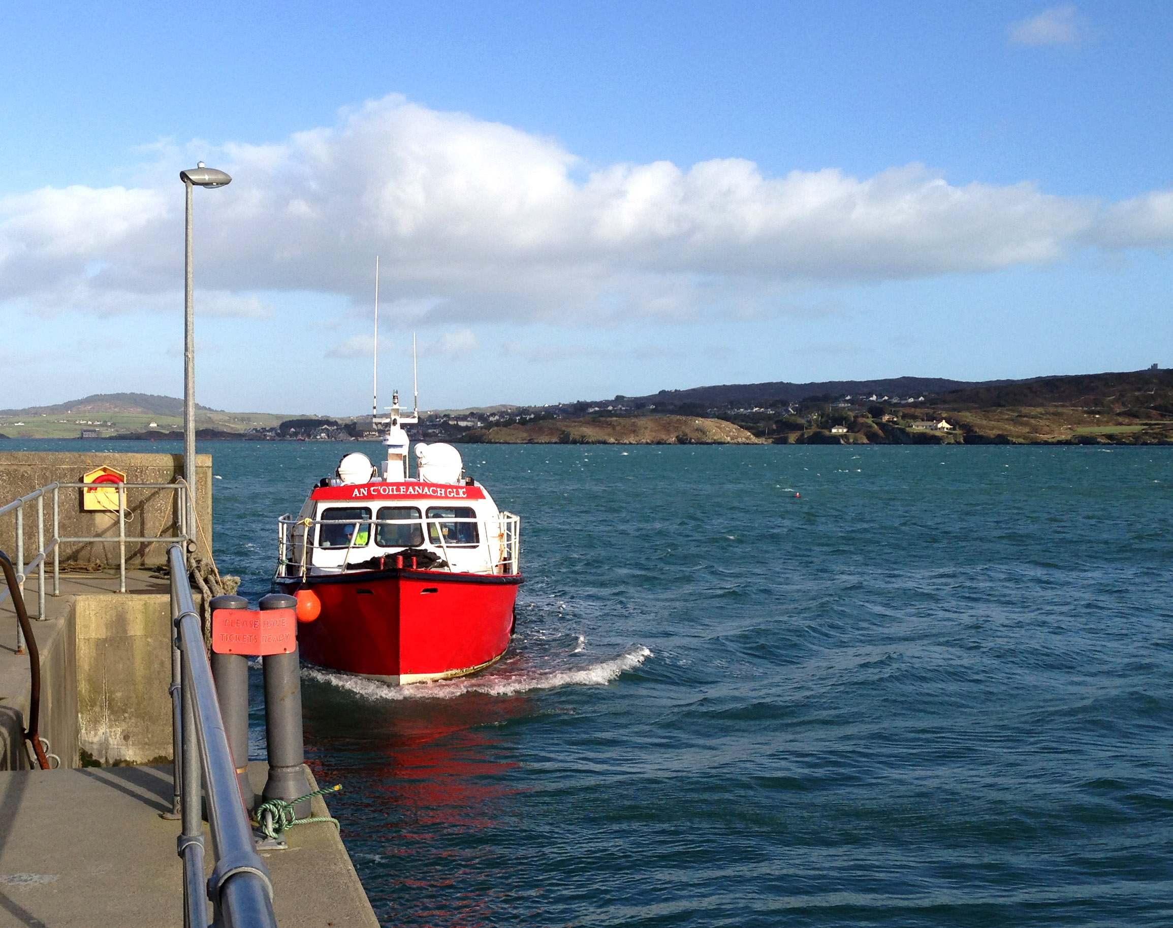
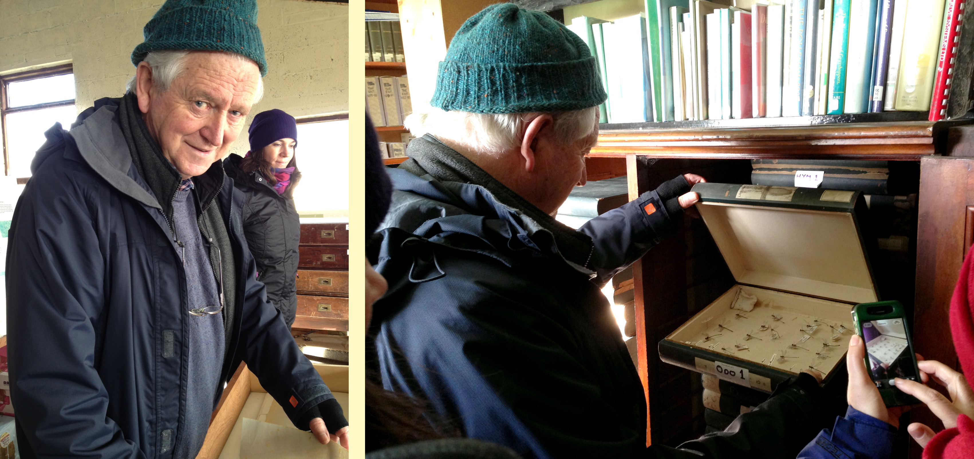
Last week I had the immense privilege of sailing to the Middle Calf with its owners, Cormac and Áine Crowley. This island is an outstanding example of what can happen when committed owners take on the task of restoring a habitat to what it should be. That habitat will occupy Part 2, but for this post I want to concentrate on the island and its story.
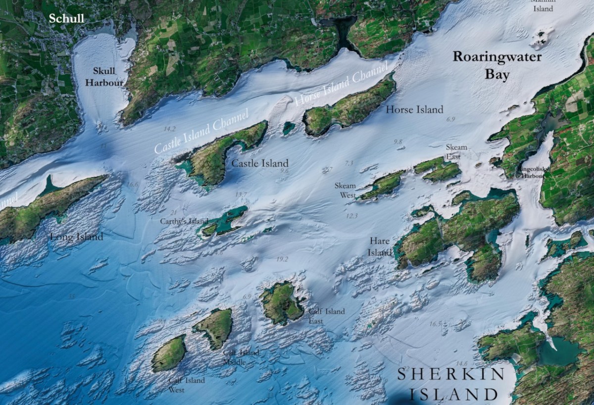
Infomar is a joint initiative of Geological Survey Ireland and the Marine Institute, established to publish detailed mappings of the sea bed and make the results freely available to all. Their map of Roaringwater Bay is spectacular, and it reveals the underlying geology of this part of the coast. The Calf islands are all that is left, along with Heir Island, of what was once a peninsula sticking out into the sea, just as the Mizen and Sheeps Head still do.
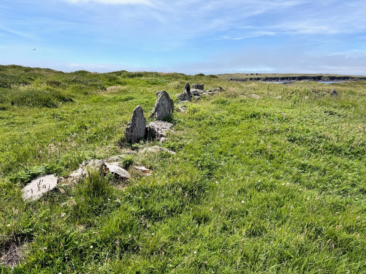
Middle Calf has probably been occupied since prehistoric times, situated in what was, for most of the last few millennia, an extraordinarily rich fishing ground. No prehistoric remains have been found on the islands, but some of the field fences may indeed be very old.

The only archaeological site identified in the Sites and Monuments Record is a small promontory fort – perhaps the cutest I have ever seen, above. For an explanation of promontory forts, see this post. Promontory forts are believed to be Iron Age (about 2000 years old) but some may be older, and some, we know, were occupied right into the medieval period. This one is so small it is hard to imagine how effective it would have been as a defence against attack, although of course it may have been larger originally.
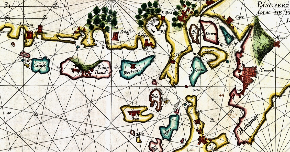
The Elizabethan mapmakers did not do a good job of drawing the three Calf Islands in any kind of distinct way – they either attached them to amorphous blobs (see this post on the 1560 map), or included them in a random scattering of islands (like Joan Blaeu’s Atlas map of 1655). Or this Dutch Pirate map (above), which gets some things right, but is quite higgledy piggledy.

But the Down Survey, completed in the 1650s post-Cromwell era, with the aim of identifying land to be confiscated for new settlers, was a quantum leap ahead in mapping in Ireland. Petty’s map of Schull civil parish (above and below) shows the Calf Islands, not perhaps as accurately as they should be, but clearly in their general location.
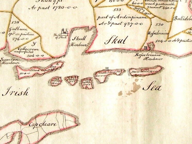
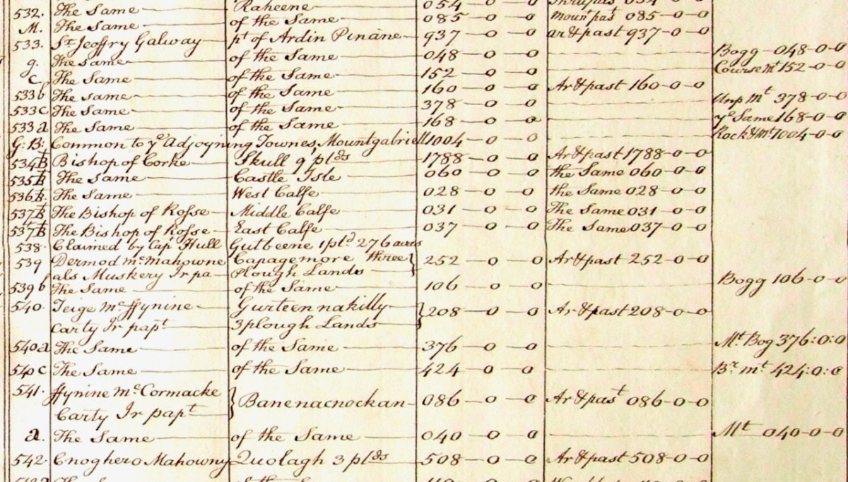
Not only that, but the Down Survey terrier (a description of parcels of land, their owners, and values) shows that the Calf Islands belonged to the Bishops of Cork (West Calf) and Ross (Middle and East).
The next account we have is Griffith’s Valuation, the massive survey undertaken by Sir Richard Griffith just before the Famine. This is a much more accurate map, probably using the same advanced measuring techniques that the Ordnance Survey would employ starting around the same time.

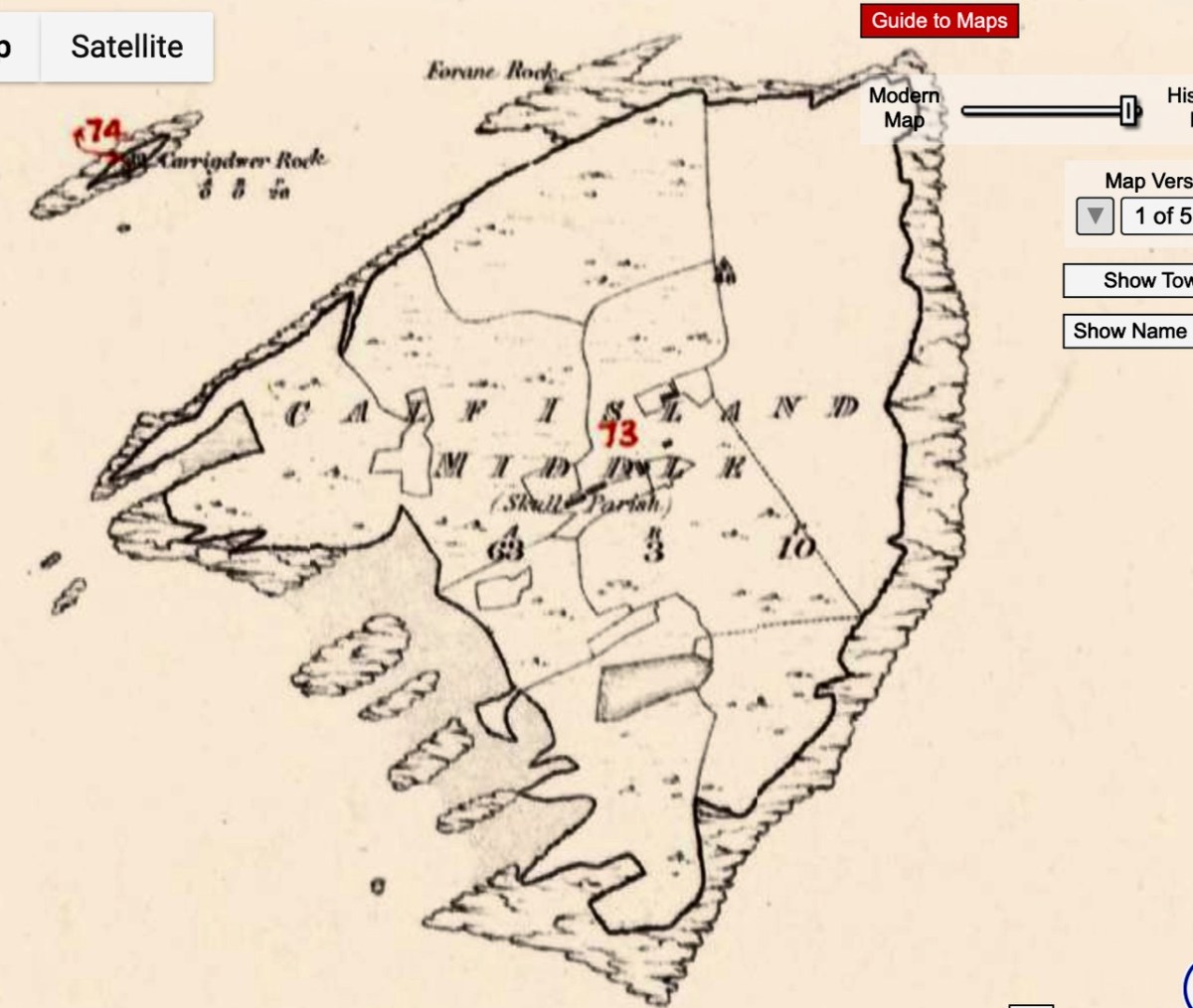
Griffith’s terrier shows four families occupying the Middle Calf – two Crowleys and two Scullys. The landlord was Daniel Welply, although Daniel Scully paid rent to Mary Scully. So Mary owned some of the island independently or she sub-let her rented land to her brother (or brother-in-law).

Daniel Welply was from Skibbereen and a Catholic. He was secretary to the organisation formed to bring Daniel O’Connell to Skibbereen for a Monster Meeting. So, somewhere down through the centuries the land had passed from Church of Ireland ownership to the hands of a private, Catholic, landowner. That was still not common in the first part of the 19th century – Daniel Welply must have been an exceptional individual.
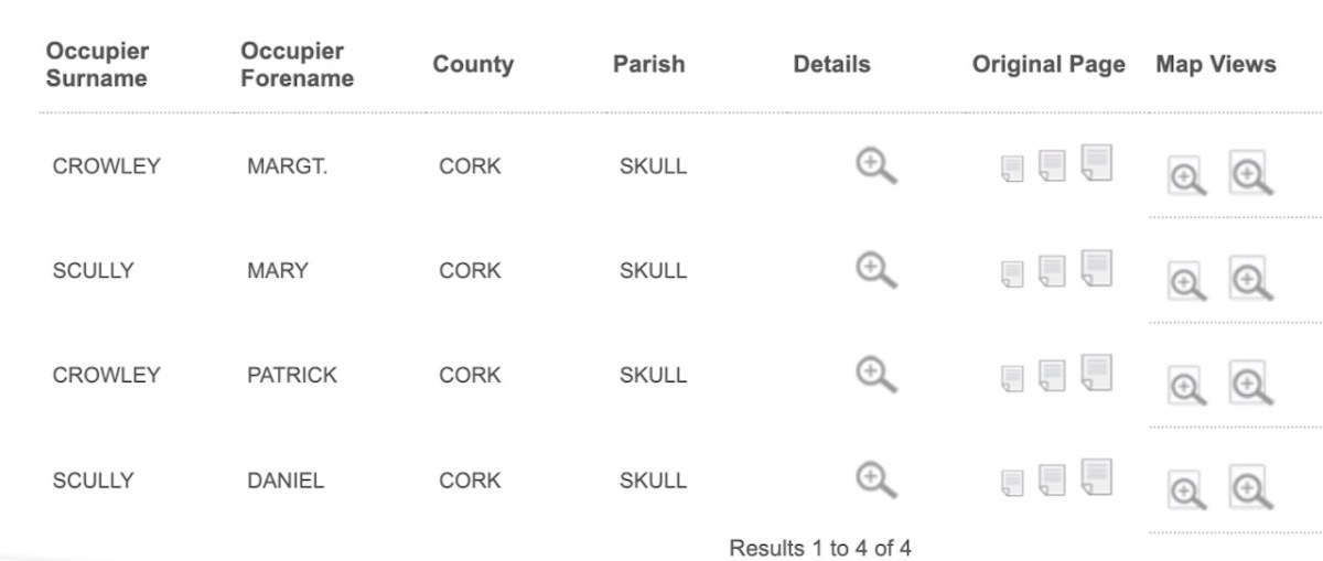
When Cormac Crowley’s father was a boy, those same four families – the Crowleys and the Scullys – lived and farmed in the Middle Calf, as they had done almost 100 years earlier. Cormac’s father was John Joseph – and you can find him here on the 1926 census.

Still to come in the family, in 1929, was the late Dan Crowley – I had the honour of meeting Dan, then aged 97, last year, in his Youghal care home. He told us about his life, and Sharon Whooley, who was there too, captured it for the Museum of Birds and Beasts. He and his family were the last to leave the island, in 1937.
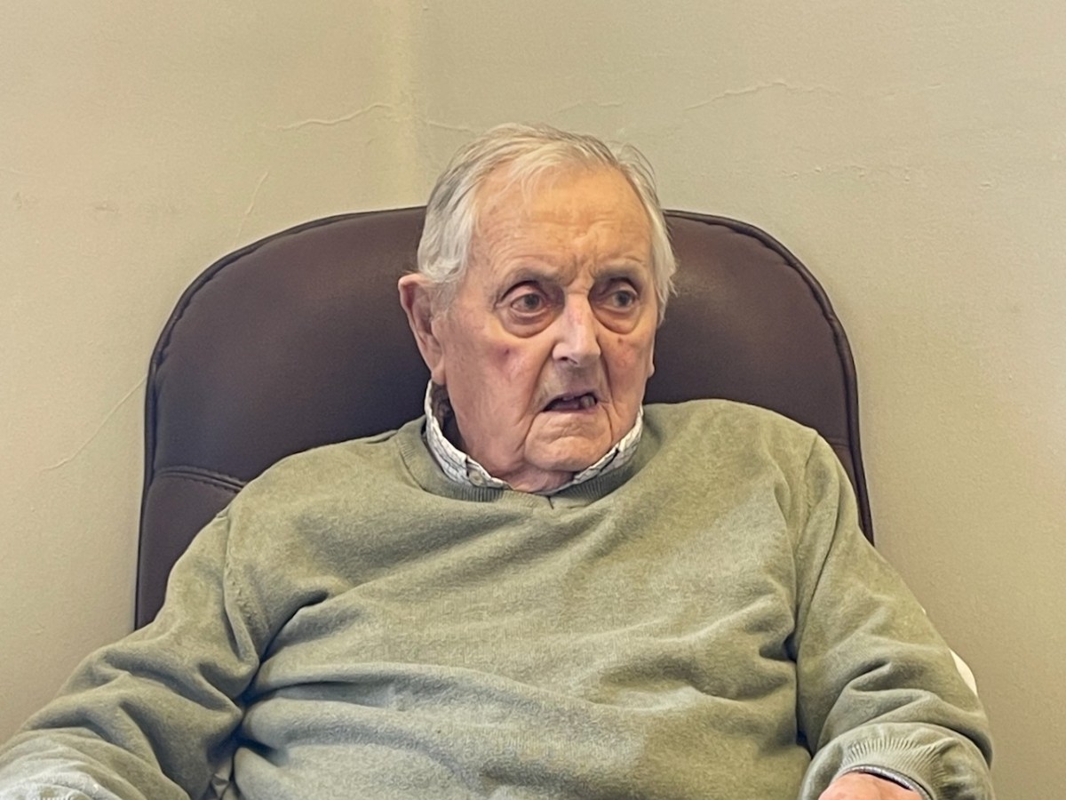
He had very specific memories – going for water, drawing sand up from the beach, thrashing with flails. His mother died and he was sent off to school on Cape Clear (he hated it) and then to Schull, where he was boarded out – I felt the sadness of that as he was telling us about it. His father, he said, in 1937, was glad to go at that stage, it was hard going. They were rough old days. I was eight years old then.

The ruins of the Crowley and Scully houses still stand on the Middle Calf – substantial houses grouped in a neighbourly way close together in the middle of the island – a hamlet, or chlachán.
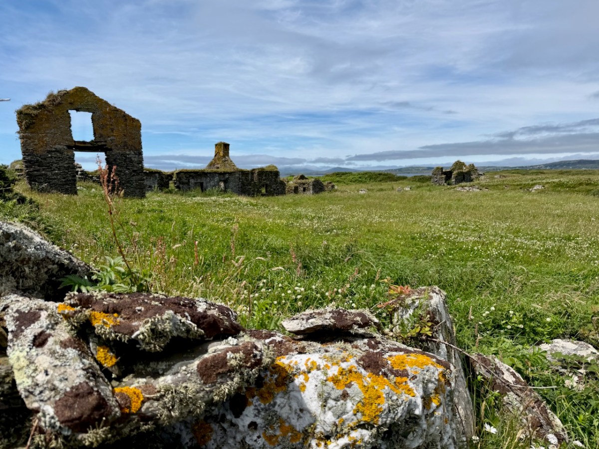
One of the houses consists mainly of a striking gable end, used as a landmark by sailors. Cormac explained to us that the rest of the building (it was a barn) had disappeared because it was made of wood. The wood came from a shipwreck, the Savonia. The other thing that came from the shipwreck was a cat, who made his way up to Cormac’s grandparent’s house and into their hearts.
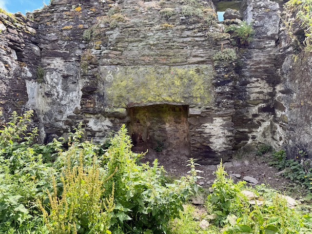
I will leave it there for this week. Part 2 will look at how the Middle Calf Island is now, under the amazing stewardship of Cormac and Áine.