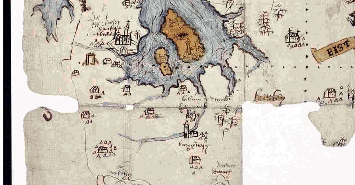
Last week we took a look at this intriguing map and picked out many of its features. This week we want to see what is actually being depicted in this extraordinary document. By the way, before we get on with that – what is that strange construction beside the Bantry Abbey? A drying rack? A Gallows?
The main source I am using is the article written by P.O’Keeffe (this may have been Paddy O’Keeffe of Bantry – if anyone can confirm this I would be grateful). It was published in the Journal of the Cork Historical and Archaeological Society in 1958. It’s a brilliant piece of analysis based on a close reading of the map, cross-referencing with the Pacata Hibernia, and a deep dive into the few other sources for medieval West Cork History.
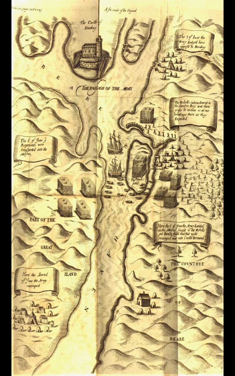
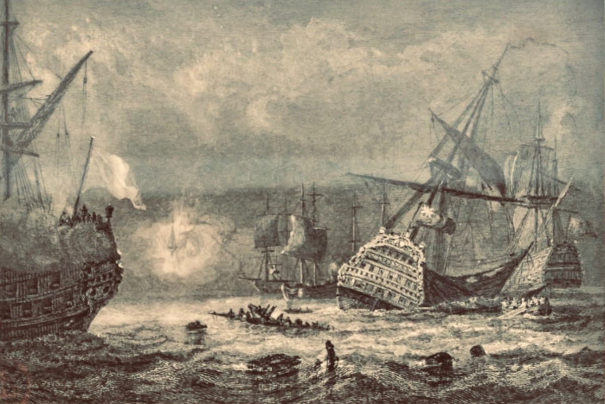
The Passage of the Army – an illustration from the section of Pacata Hibernia dealing with the Siege of Dunboy
First, a very brief background – a slightly more detailed version can be found in Robert’s 2019 post, An Excursion to Dunboy. After the Battle of Kinsale, where a combined force of Irish and Spanish were defeated by the British, Donal Cam O’Sullivan Beare retreated to Dunboy. Having forcibly taken it back from the Spanish commander whom he had left in charge and who was prepared to surrender it, he strengthened its fortifications and leaving it in charge of a deputy, he departed for Ardea Castle to meet a Spanish ship bringing reinforcements and supplies.
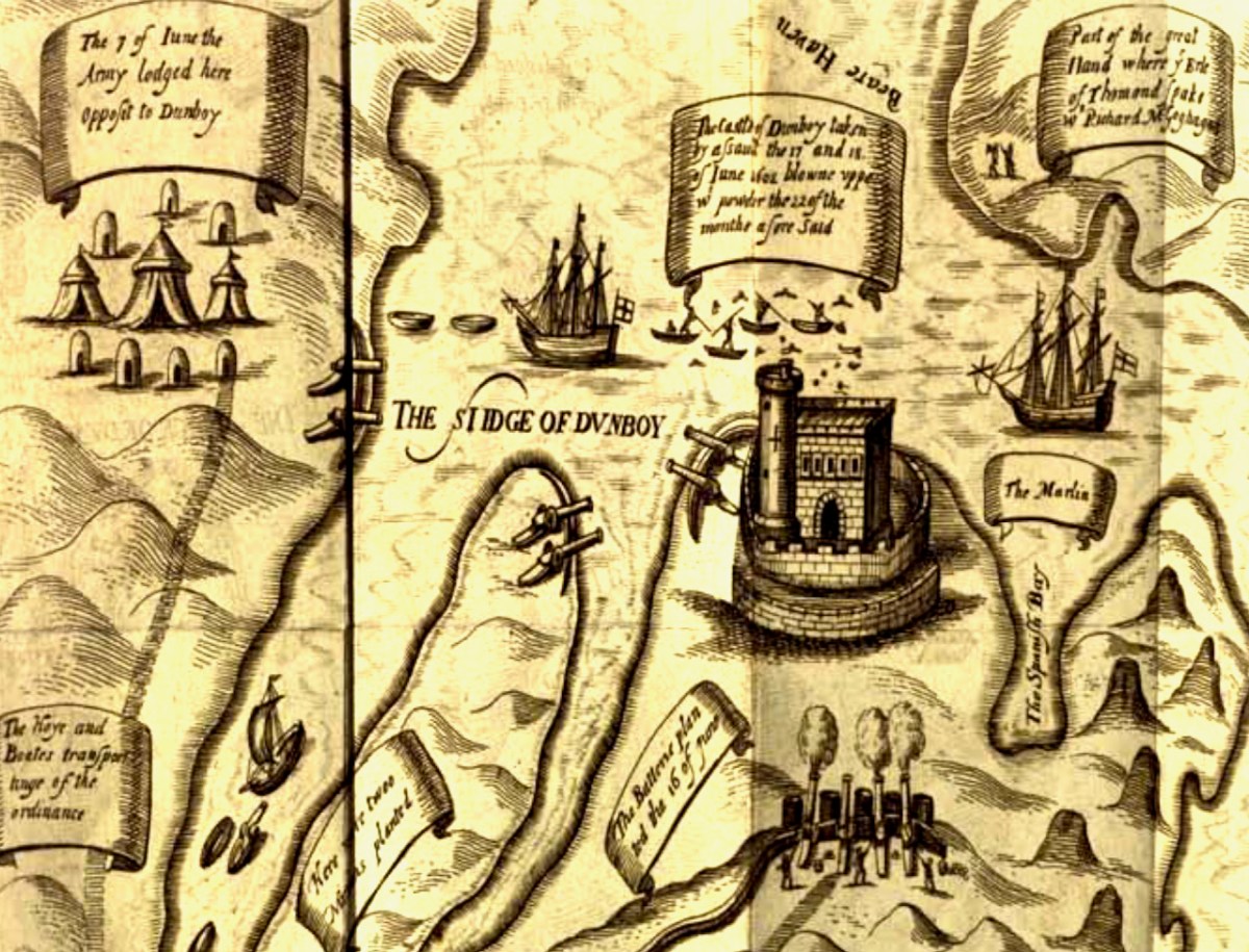
While he was absent the British made their way, by land and sea, to the Beara, attacked and destroyed Dunboy (with some assistance from Donal Cam’s cousin, Owen O’Sullivan of Carriganass), killing or subsequently hanging (in Castletownbere) all the defenders and inhabitants. The also murdered all those who has sought refuge on Dursey Island. This all happened in June 1602.
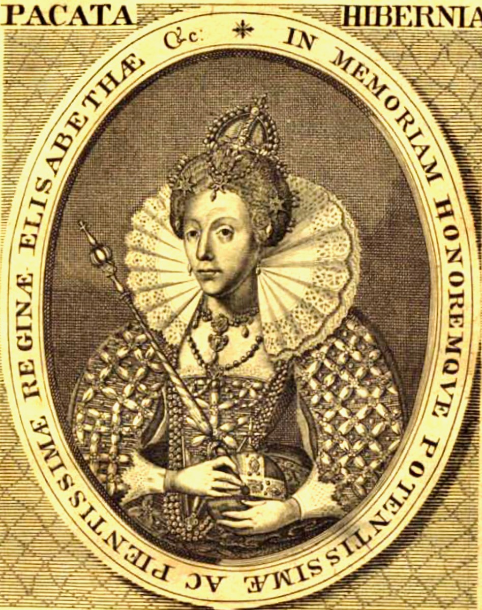
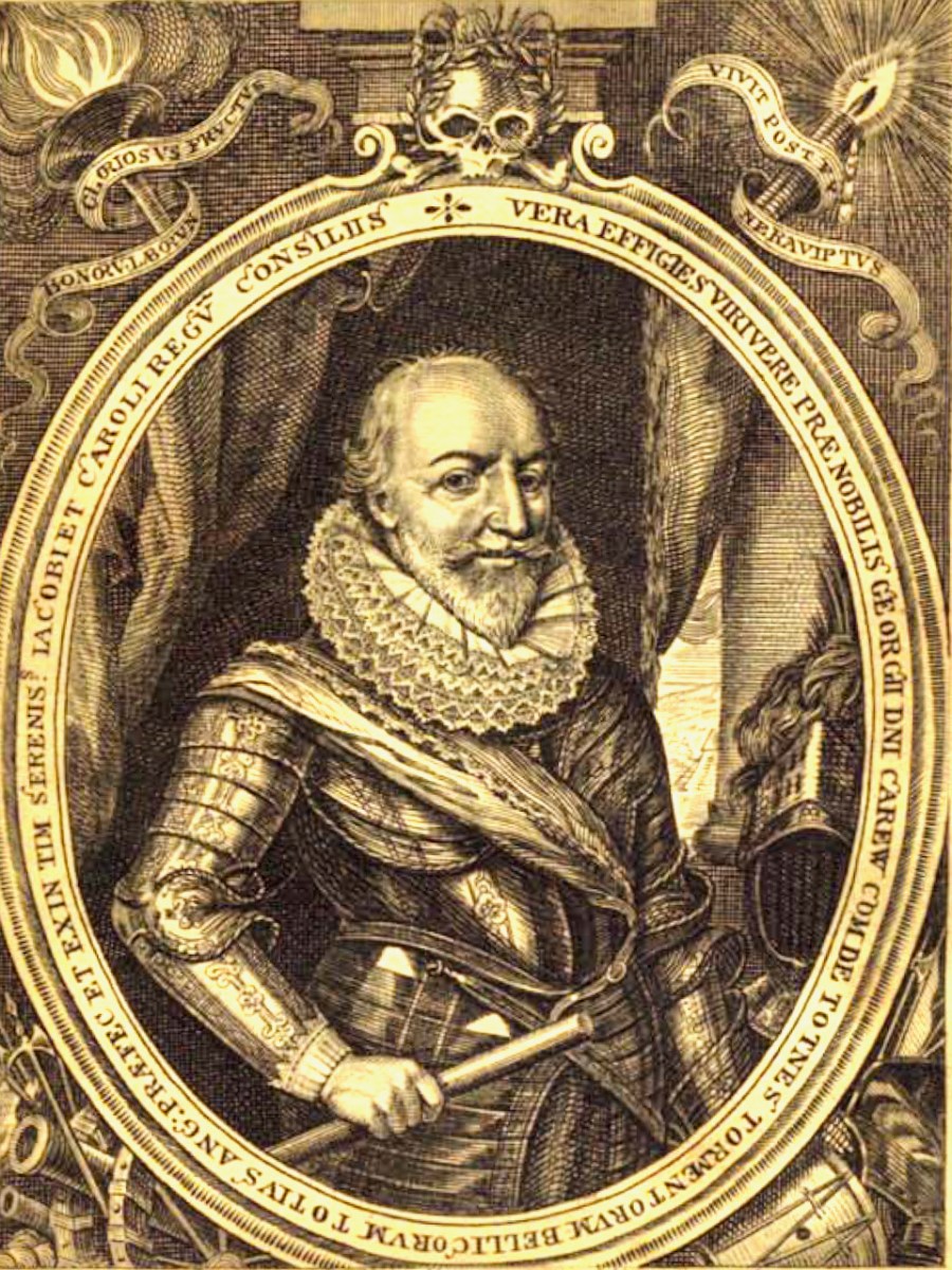
The campaign that marked the end of the Nine Year’s War was chronicled in a book called Pacata Hibernia, (Ireland appeased and reduced; or, an historie of the late warres of Ireland), written by Sir Thomas Stafford and dedicated to Elizabeth I (above) and to his boss (and possible father), George Carew, the President of Munster (below). Stafford lays out the course of each battle, siege and engagement, illustrated with maps and drawings.
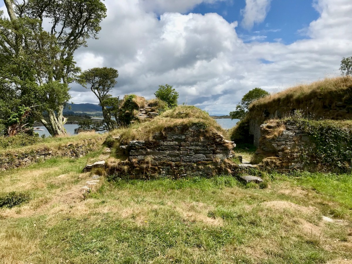
Seen as glorious victories by the British, the Battle of Kinsale and destruction of Dunboy spelled the death-knell of the power of the old Gaelic lordships in West Cork and ushered in the large-scale takeover of Munster by the new planter class who arrived to a devastated and depopulated landscape. A visit to Dunboy (below) nowadays does not in any way convey the seismic effect this siege had on Irish history.
Because a previous historian had assigned this map to the 1550s, O’Keeffe goes to great pains to demonstrate that what is depicted here is indeed the Siege of Dunboy.
Thus, the movement against Dunboy, in its initial stages, was entirely a naval action, ships playing a vital role in ferrying troops, guns and supplies, firstly to Bear Island and secondly to Dinish Island, thirdly, to the mainland and into strategic creeks about Dunboy, and, finally, to the Dursey. The principal islands mentioned in the Pataca report are Whiddy, Great Island (Bear Island) Doughe Insh (Dinish Island) and Dursey, and each one of these played a vital part in the attackers’ plans. Can it be coincidence that these islands are specially emphasised in our map by colour washes? Troops were ferried from Muintervarry to Bear – the map shows two galleys being rowed up the Bear Island Sound. Boats ran the fire of Dunboy into the Creeks about the castle. The map shows boats in precisely similar positions.
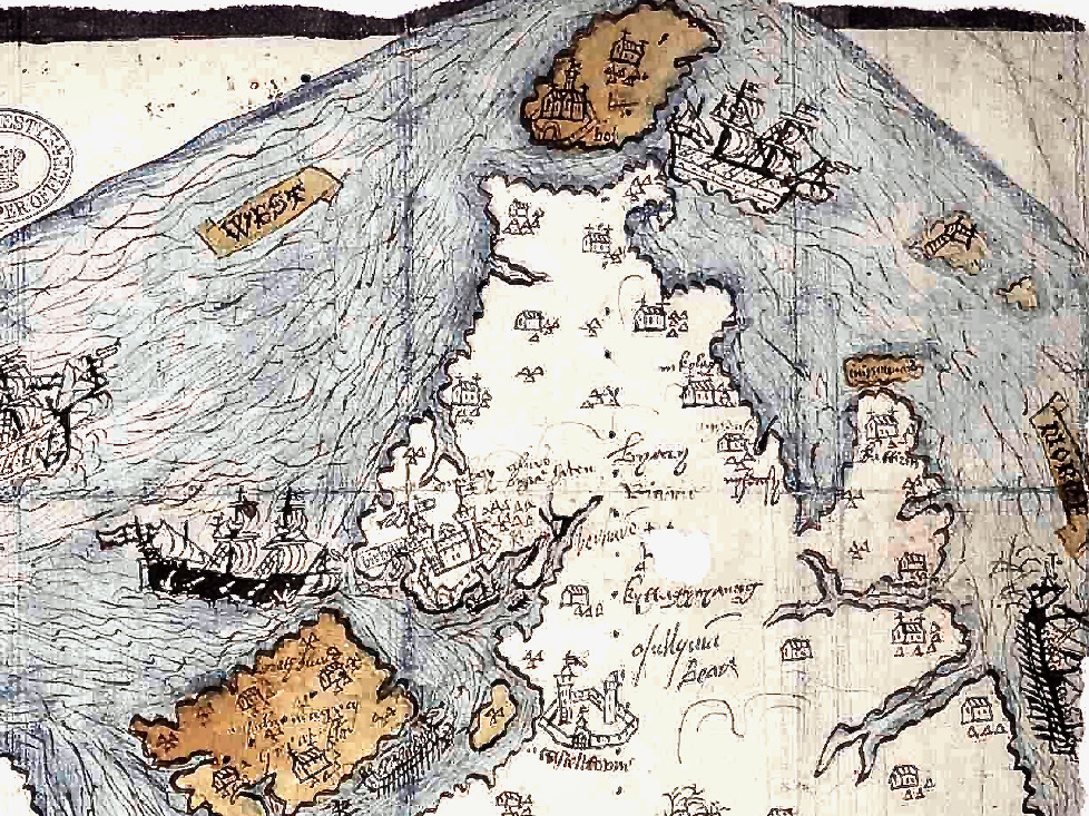
A Spanish ship came to Kenmare Bay carrying Bishop McEgan and Turlough O’Brien with supplies and money. The map shows a Biscayner being rowed out of Kenmare Bay. A pinnace and three other boats went to capture the Dursey – a ship is shown clearing the Dursey Sound. Finally, the boundary line on the Muintervarry Peninsula, and the dotted ‘scale’ embrace the specific region mentioned on the Pacata Hibernia. Can the occurrence of all these features be purely coincidental? It seems unlikely, and unless serious arguments can be advanced to the contrary, we must consider that the map was used to illustrate the events of Dunboy in 1602.
O’KEEFfe, P., A Map of Beare and Bantry,
Journal of the Cork HISTORICAL and Archaeological Soc
1958, Vol 63, No 167
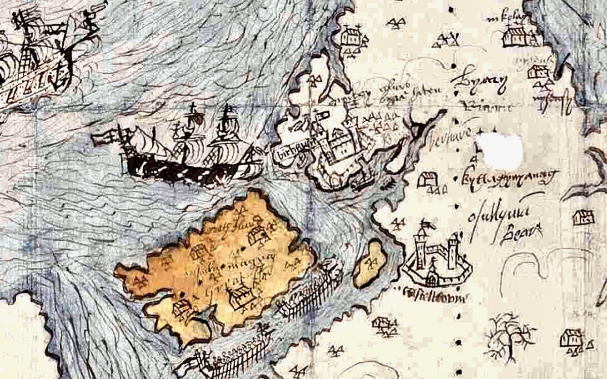
Very convincing. What remains a puzzle, however, is the castle that is being besieged on the Mizen Peninsula. O’Keeffe has deciphered two words above the castle as ‘Kastell’ and ‘Omahons’ and the inscription below as ‘the kastell of rosebry . . . wer . . . by the m . . . of the Cytty of . . .’ The drawing may show that the tower inside the bawn has already been destroyed by the cannon outside the walls, being fired by a soldier in a plumed hat. Troops are shown with muskets, crossbows and axes. The bawn wall has at least one corner tower and a substantial gatehouse.
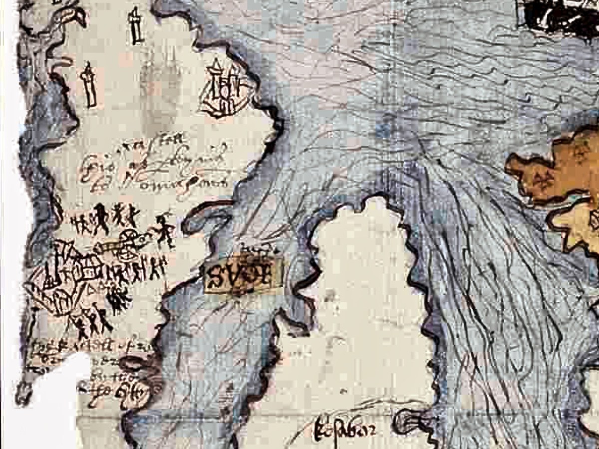
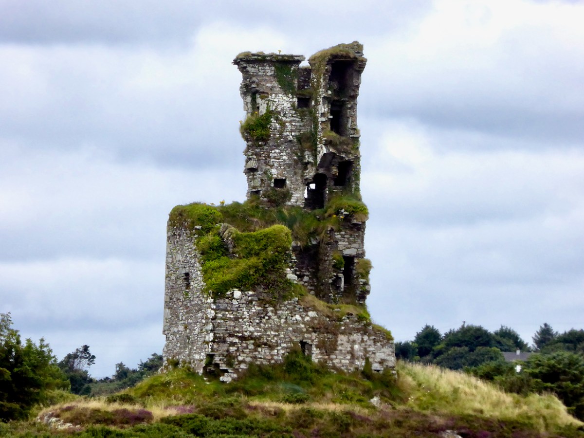
The inscription appears to verify that this is Rossbrin, and we do know that the Rossbrin O’Mahonys took part, on the Irish side, in the Battle of Kinsale, so it makes sense that their castle would come in for the same treatment as Dunboy. However, only one authority (Smith*) states that Rossbrin was besieged by Carew in 1602, while others assert that it was not, and that the tower was substantially intact up to comparatively recent times. There is no mention of actions against Rossbrin in Pacata Hibernia. O’Keefe speculates that what is being illustrated may be the recorded siege of Rossbrin in1562 when “the authorities in Cork fitted out an expedition to capture the castle from the O Mahonys” or in 1571 “when Perrott attacked and captured the castle.”
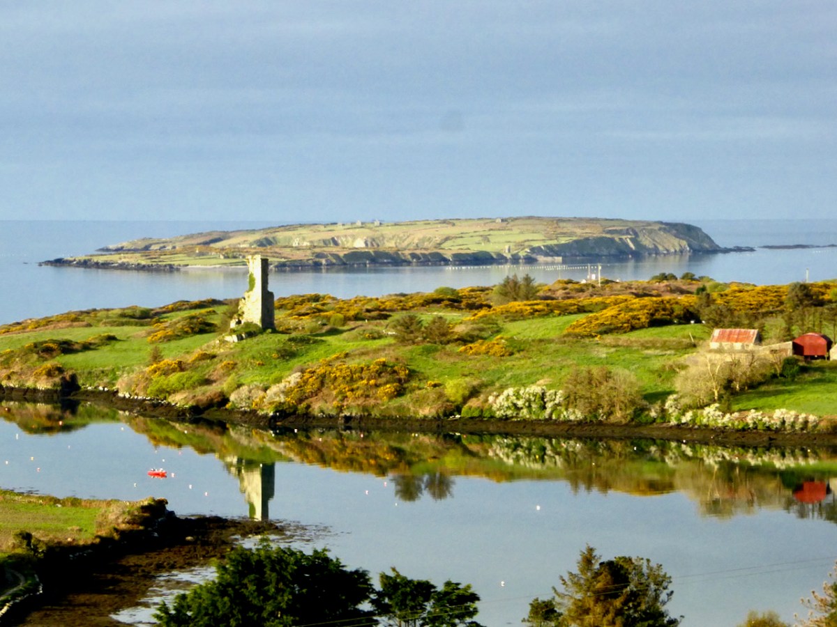
However, this calls for some chronological sleight of hand – in order to establish that what is depicted on the map is a siege of the 1550s, O’Keefe postulates that this map was produced in the 1550s and then later modified to include the Siege of Dunboy. Not very likely, given that his rationale for assigning it to 1602 is so clear, and the map has all the unified appearance of being done at one time and by one hand. What’s left of Rossbrin now can be seen above and below.
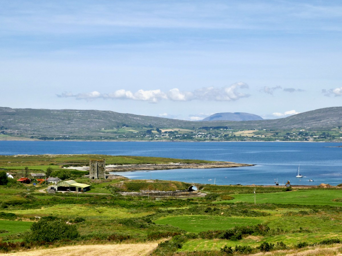
The other possibility is that the castle of the Mizen being besieged is not Rossbrin. In this case, the likeliest candidate would be Dunmanus (below), which was captured by Owen O’Sullivan of Carriganass. While the castle under siege on the map is on the correct side of the Mizen for Rossbrin, and not Dunmanus, we have already seen in Part 1 that Ardea Castle is located on the wrong side of the Kenmare River, so perhaps the cartographer was a little more approximate with some locations than others, or perhaps the boundaries of the paper available for the map forced a couple of castles to be squeezed in, even if the location wasn’t totally accurate.
I have yet another resource to consult, but I don’t have access to it yet, so it is possible that there is more, and better, analysis of this map. If so, I will either write a future post, or revise this one. Meantime, I would be interested in anyone else’s take on The Story.
*Smith, Charles, 1893, The Ancient and Present State of the County and City of Cork (available here)








 Roaringwater Journal