![]()
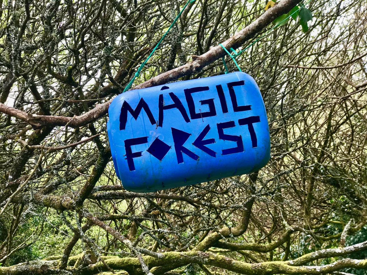
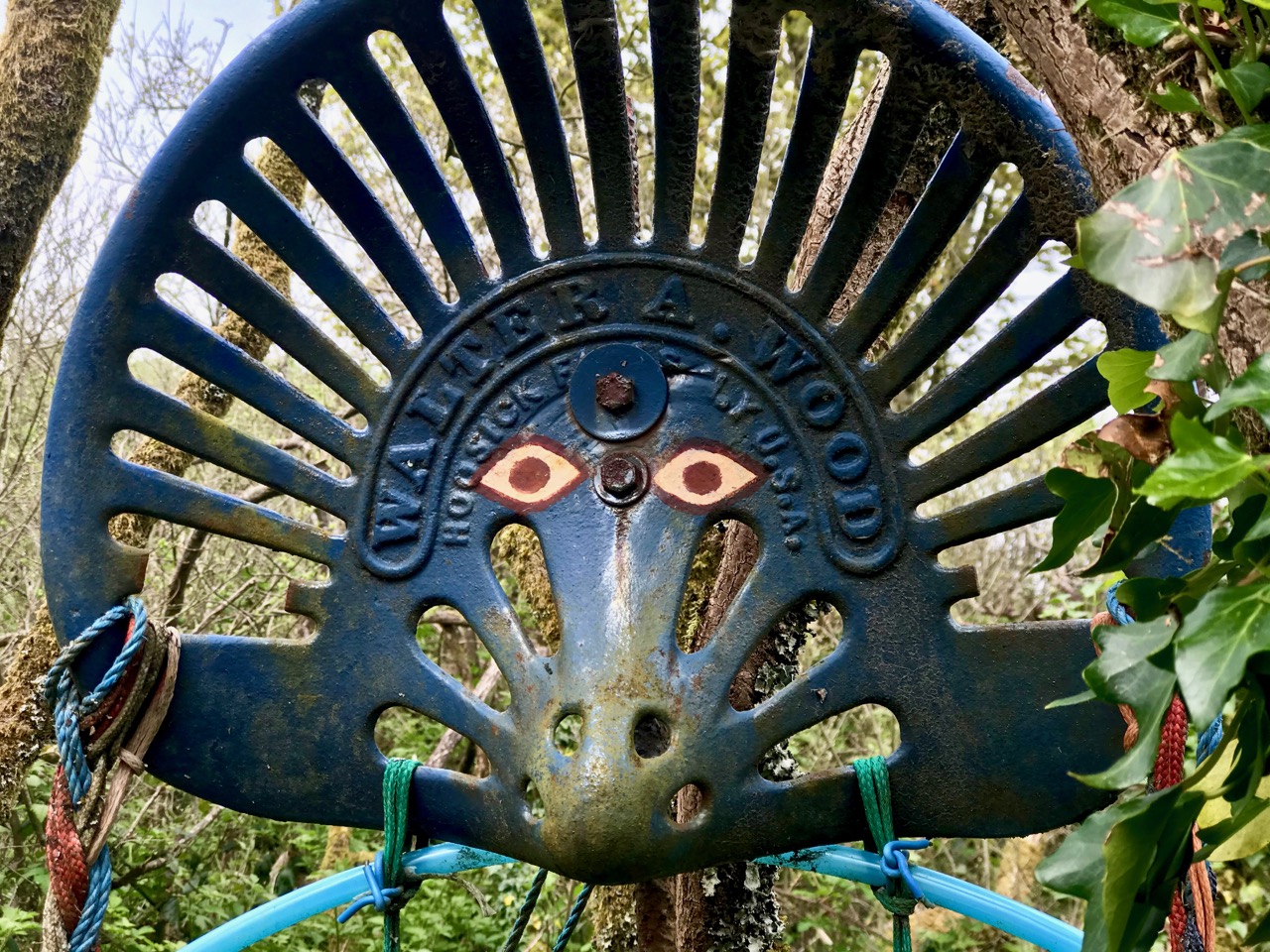
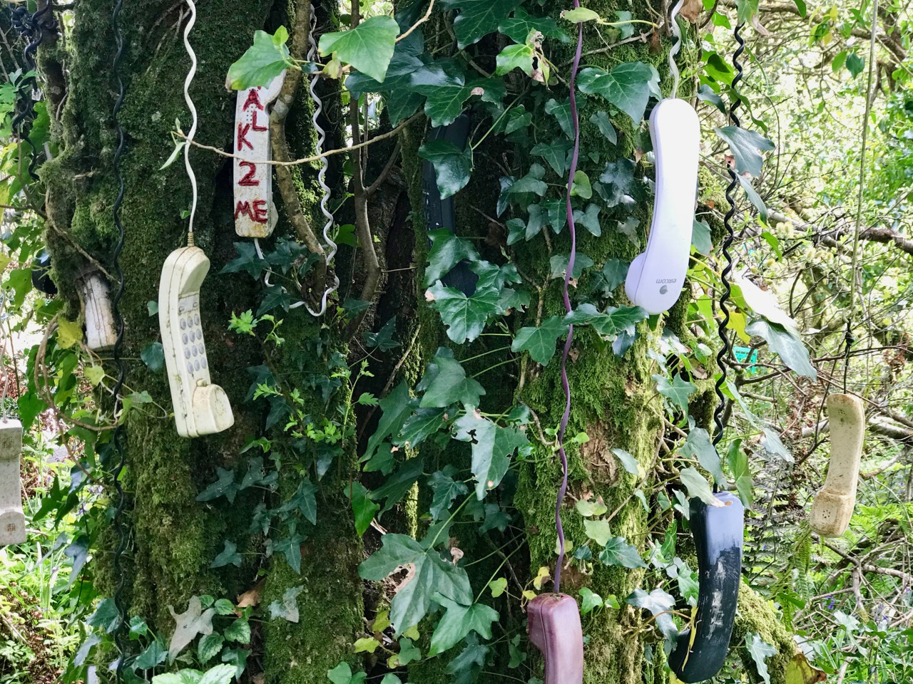
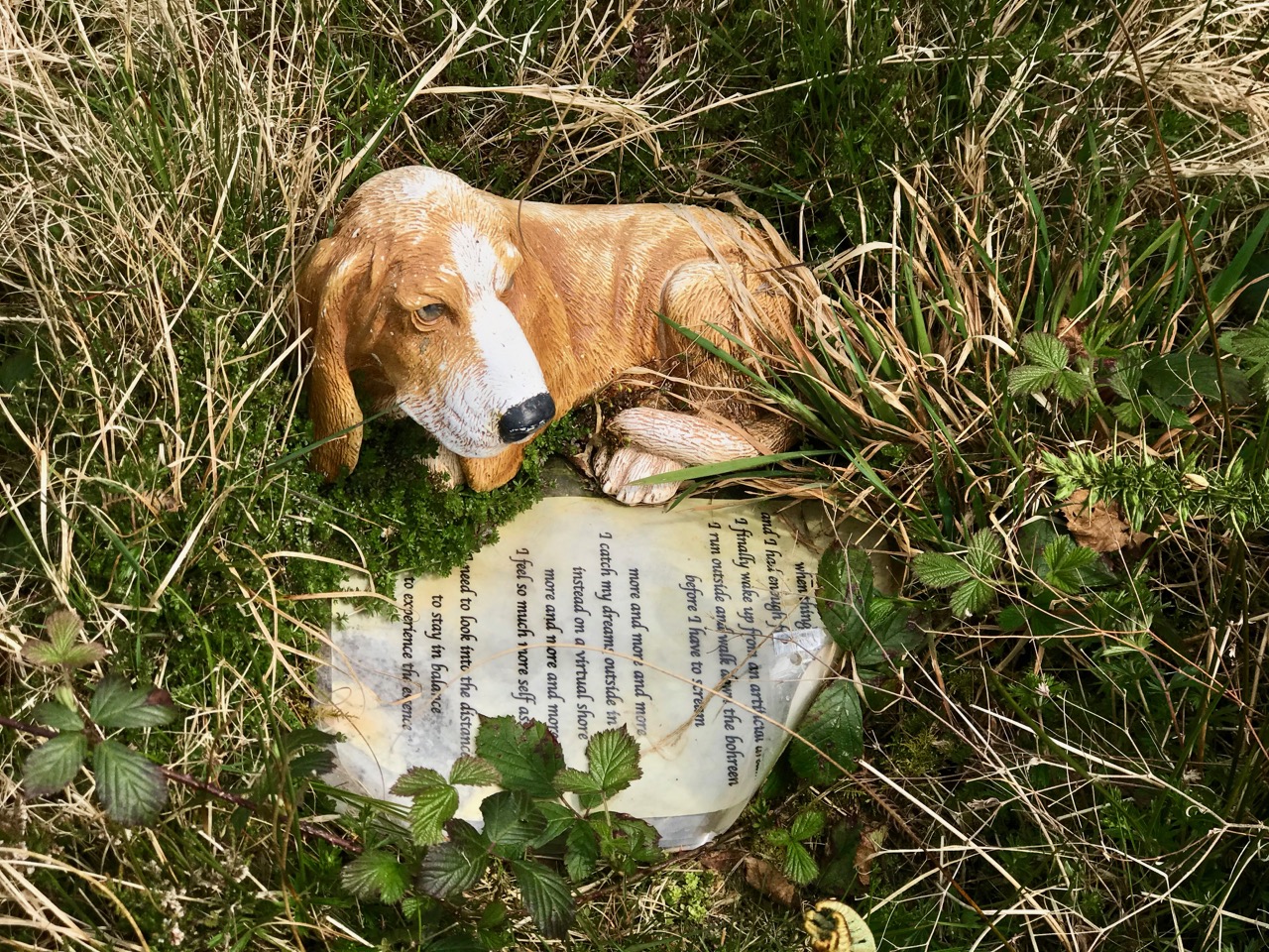
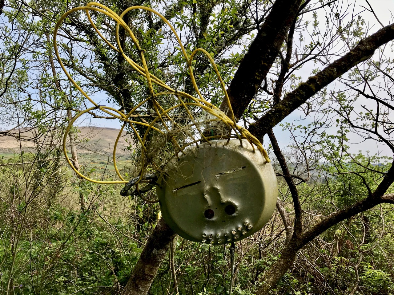
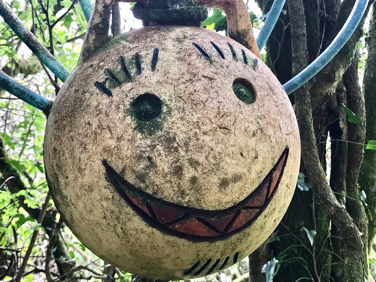
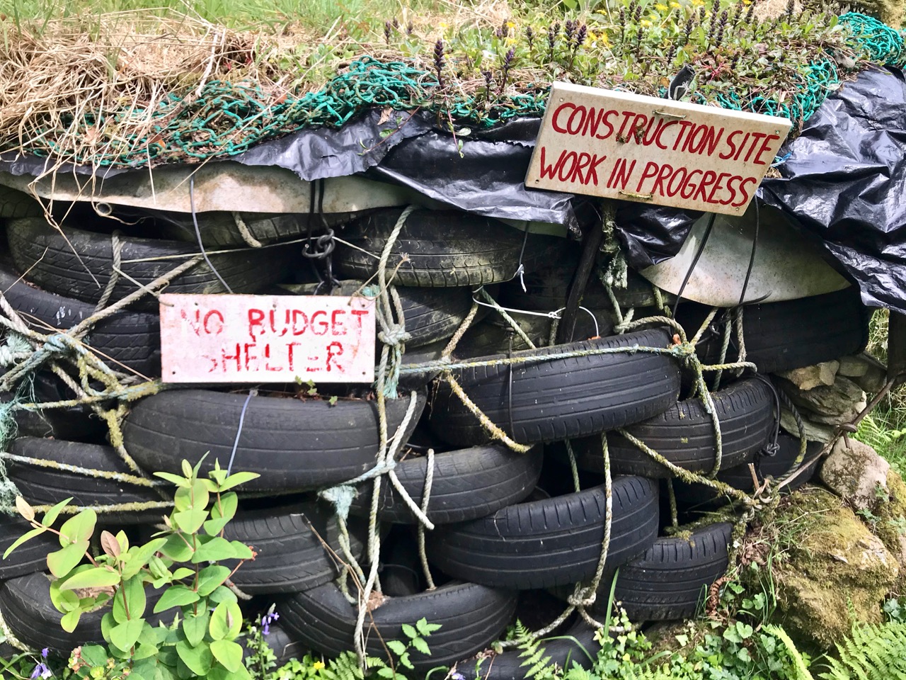
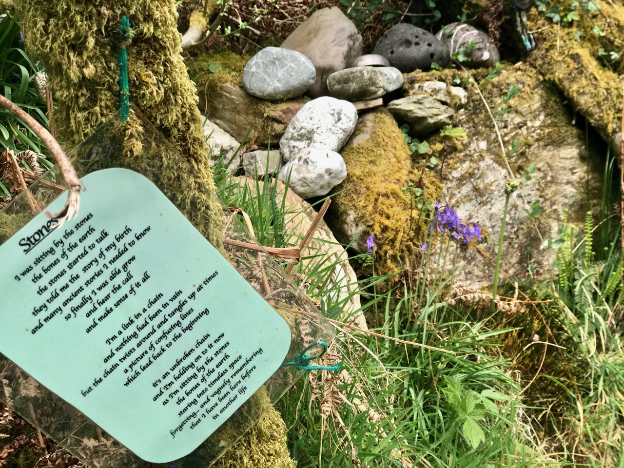
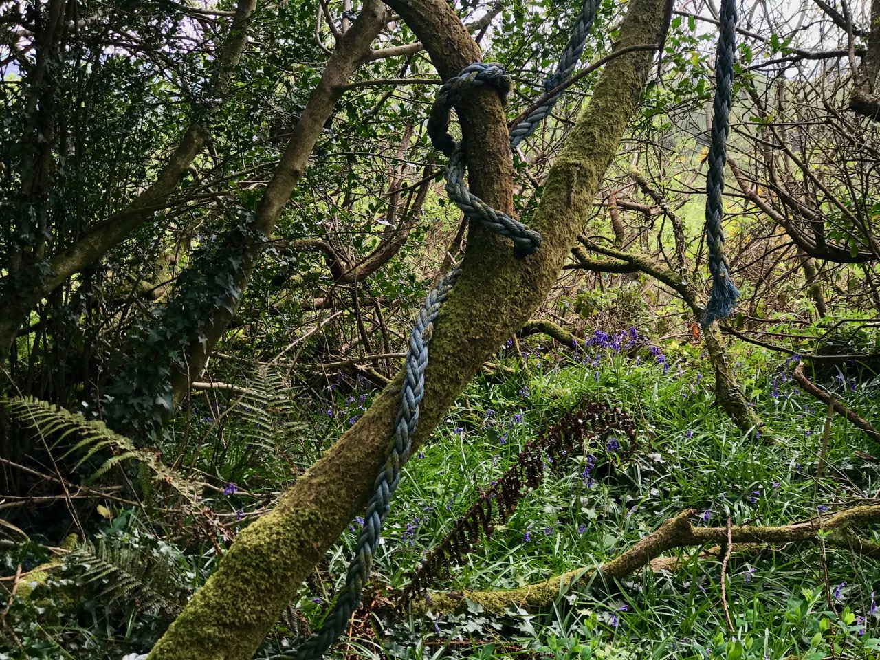
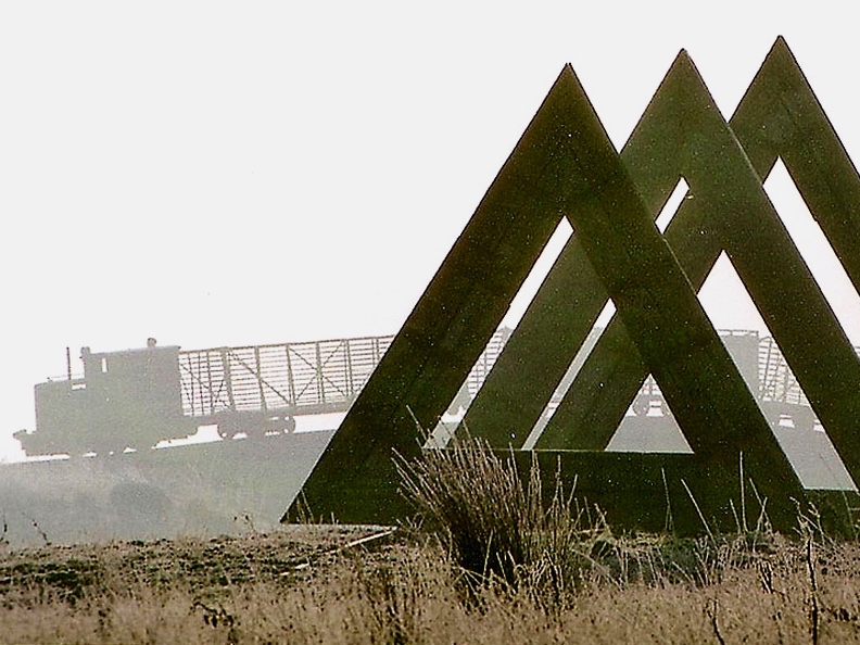
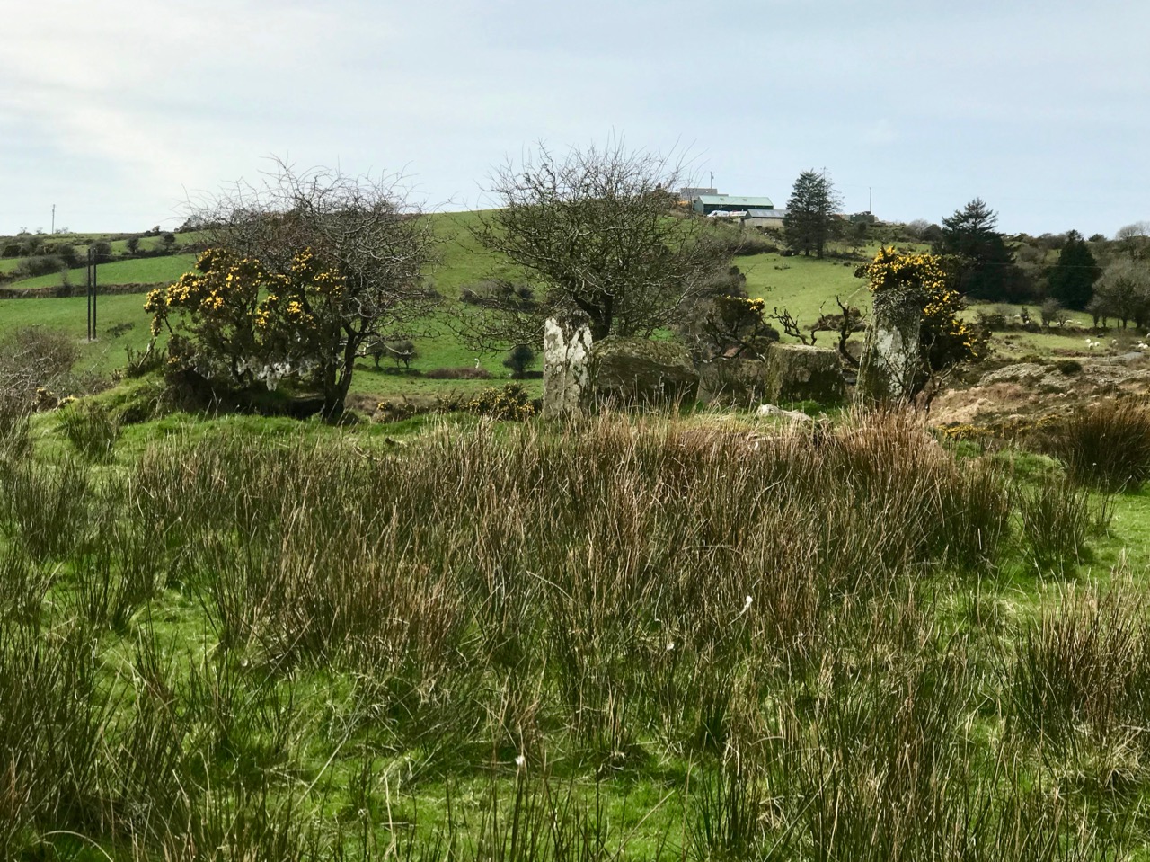
Enchanting – that’s the word that comes to me when I think of The Magic Forest. Although at first I was drawn to the quirky art installations (see our post from five years ago), as I’ve become more interested in wildflowers I like to photograph them there, since it’s such a special habitat. So here is a selection of early spring photographs from the Magic Forest, to illustrate what a diverse and attractive plant life it hosts.

In their beautiful and comprehensive book, The Wild Flowers of Ireland: The Habitat Guide, Declan Dooge and Carsten Krieger describe what to expect in a native woodland. First and foremost, there are in fact very few native woodlands left in Ireland, of the kind of oak forests we might have seen in medieval times. However, the little woods that surround the Magic Forest fit their definition of an acid-soil natural woodland, with trees not so dense that light cannot penetrate, and lots of moisture underfoot giving ferns and mosses (below) a friendly environment. A visit to an undamaged native woodland, they state, is a remarkable experience.


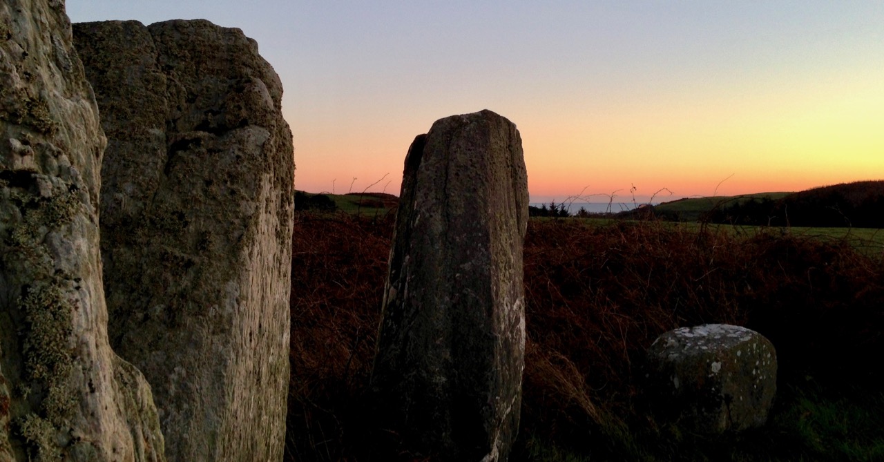
While the Magic Forest is probably not as pristine and undamaged as it could be (it’s in the middle of farmed land, after all) it has been left to flourish intact for many years, thanks to the stewardship of Thomas Wiegandt, whose interventions have only added to the fairytale quality of the woods.

What we see inside is an excellent representation of an Irish woodland habitat in as unmanaged a situation as possible. Walking through it in early spring is an ethereal experience – I defy you not to be moved.


That is not to say that all the plants we find in it are all truly native – for example, the Yellow Archangel flower that flourishes here (above) is a garden escape that has naturalised widely across Ireland. There is a native Archangel, but we know this one is the introduced variety because of the silver markings on the leaves.


Dooge and Krieger point to the presence of Early Dog-violet (they call it Wood Violet) in woodland, but in fact what I have found in the Magic Forest are two types of violet – the Common Dog-violet (above) which is everywhere in West Cork right now, and the much less-seen Marsh Violet (below).


Because the Common Dog-violet can turn as it ages from its normal deep blue to the same pale lilac colour as the March Violet, you have to keep a sharp look-out for the differences, but once you see them together they are unmistakable.

One of the nicest aspects of walking in woodland is the soft carpet underfoot. In The Magic Forest this tends to be a bed of Opposite-Leaved Golden-saxifrage (above), which loves damp dark places. This is an interesting flower in that it has no actual petals. The Sepals are bright green and unfold to reveal the stamens which are brown-tipped inside their little bed but shed the brown cover and turn bright yellow when fully open.

Getting right down on the forest floor (a little undignified and hard on clothing) is well worth it as all kinds of flowers are emerging up through the undergrowth. Celandines and Bluebells mingle above, while Celandines and Wood-sorrel cover the banks of a tiny stream (below).

At this time of year, early spring, one of the most attractive species is Wood-sorrel, with its distinctive shamrock-shaped leaves. The delicate purple veining on the petals, leading down to a golden-yellow centre rewards close scrutiny.


Of course, at this time of year, what we all love to go into woodland to see are the Bluebells and The Magic Forest abounds in native Bluebells. If you are wondering what the differences are between Native and non-Native (Spanish) Bluebells, here’s how to tell: we know these are native Bluebells because they have a lovely scent, their petals curl back, the flowers only grow on one side of the stem (the weight of which gives them that characteristic curve over), the anthers are white and the leaves are quite fine. All of these points can be observed in the photograph below – except for the scent!

Bugle is another flower that loves this kind of environment, although it’s not quite as specialised as the Bluebell – I have seen it on hedgebanks as well where it might be getting moisture but not a lot of shade. Below, the two enjoy each other’s company.

Zoë Devlin, on her website Wildflowers of Ireland (my go-to resource, both print and online, and the best and easiest all round book to introduce you to Irish wildflowers) tells us, In his ‘Complete Herbal’ of 1653, Nicholas Culpeper wrote of Ajuga reptans [Bugle]: ‘if the virtues of it make you fall in love with it (as they will if you be wise) keep a syrup of it to take inwardly, and an ointment and plaster of it to use outwardly, always by you’. A hand lens is a must for this flower – close up the tiny orchid-like flowers open wide to show their tonsils.

in Southwest Ireland we have a special group of plant species known as the Lusitanian Flora. Here’s a good explanation of what this means from Wikipedia:
The Lusitanian flora is a small assemblage of plants that show a restricted and specific distribution in that they are mostly only to be found in the Iberian Peninsula or southwest Ireland. Generally, the plants are not found in England or western France even though suitable habitat almost certainly exists in those regions. . . . This biogeographical puzzle has been a topic of academic debate since the middle of the 19th century. Conflicting, and as yet unresolved theories centre on whether the Irish populations are a relict, surviving from before the last ice age or whether they have been transported there in the last 10,000 years.
For a complete list of the Lusitanian species, take a look at my other favourite website – Irish Wildflowers by Jenny Seawright.

This is a longwinded way to introduce St Patrick’s Cabbage, the Lusitanian wildflower that crops up in The Magic Forest. The photos I have of it in the forest were taken just after it had started to bloom (above) so the flowers are yet sparse (below). You can see photographs of them in a more advanced phase in this post.

The final flower I want to highlight is the Cuckooflower, which is found in abundance in the fields all around the Magic Forest and to my surprise even inside it, although this is not typically a woodland flower. It likes the damp but it generally prefers open meadows. Besides being delightful, it is where the Orange-tip Butterfly likes to lay its eggs so look out for tiny orangey eggs on the stems. The flower varies in colour from almost pure white to a deep pink.

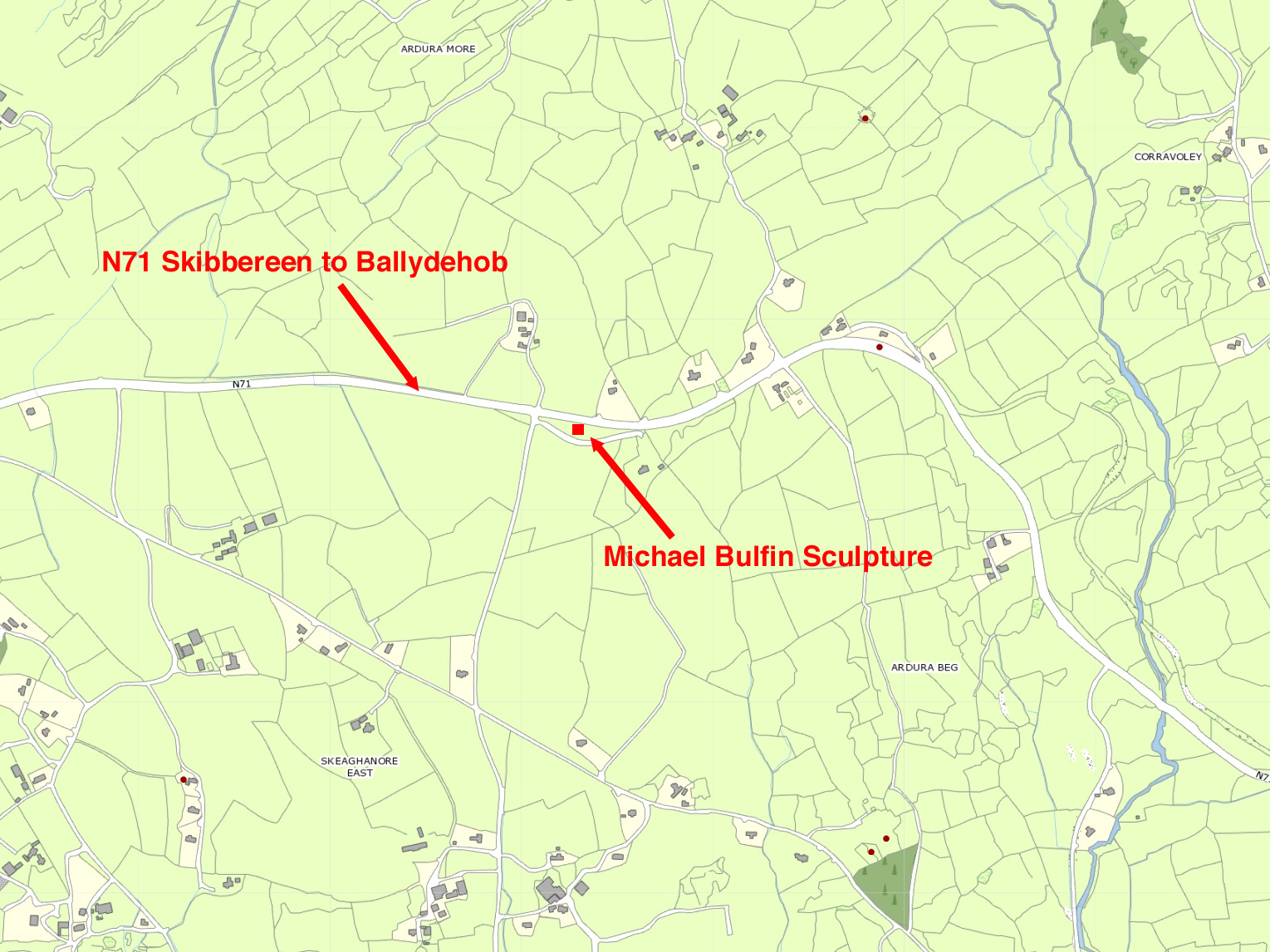
There is a LOT to see in the Magic Forest – once we are all able to travel again I highly recommend a walk in it (see our original post for directions) – at any time of year. You won’t be disappointed. And thank you, Thomas, for this gift to West Cork!

Robert chose to write about the Magic Forest too this week, but from quite a different perspective! Here’s his post, Mixed Magic Messages.