Electrifying West Cork

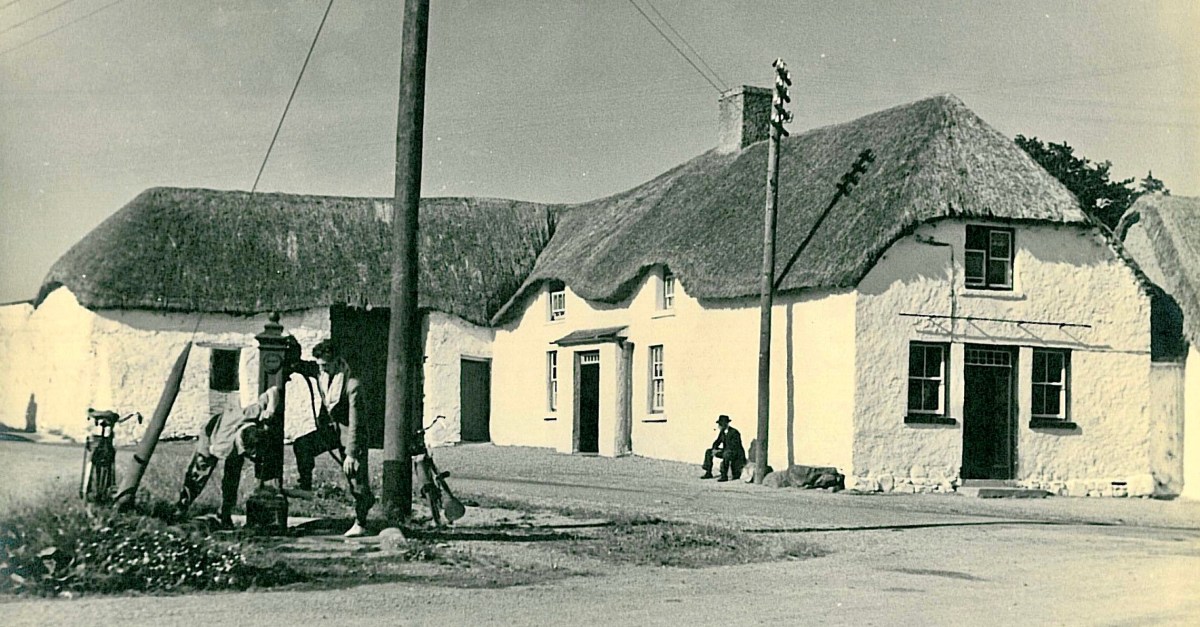
The traditional Irish village: Lusk, Co Dublin, in 1954 (photo from ESB Archives). Thatched buildings, the village pump, bicycles: a man sitting on the stone smoking his pipe. The intrusions are the poles and the overhead lines bringing the modern world into rural Ireland. Lusk was connected to the new grid close to the beginning of a project that spread out from the major conurbations from the late 1920s, taking some fifty years to embrace the whole state.

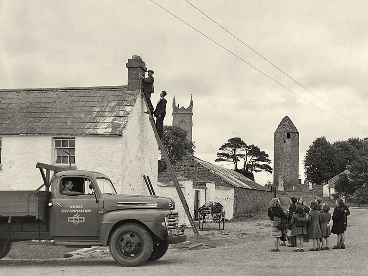
Rural Electrification arrives in Dromiskin, Co Louth, in 1949. Cork Electric Supply Co Ltd was in operation in Cork City before 1927. It supplied 4,225 homes and businesses in 1929, rising to 5,198 by March 1930, before being acquired by ESB in April 1930. Close neighbouring communities began to receive connections from 1930 onwards; Skibbereen and Bantry waited until 1937, while Schull and Ballydehob were without until works crept into furthest West Cork in 1952.

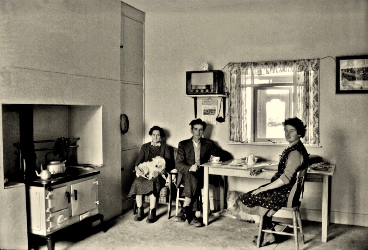
Above – family Life in 1950s rural Ireland (photo by Robert Cresswell). When I was a boy in 1950s England, I was probably fortunate to live in a house where electricity had been connected: my parents were quite progressive in that respect. I well remember the brown bakelite switches and plugs (two sizes: small and large). However, I often visited my Granma who lived in a house without any of it. It was a bit like the one above (which is in Kinvara). Gas globes hung from the ceilings: they had to be lit with tapers while pulling down on a lever. Cooking and heating came from a black coal range, and there was one cold tap in the scullery. There was no bathroom or shower, only a toilet outside in a shed. But there was a large wireless set – just like the one shown above. It was powered by an ‘accumulator’ which had to be taken to the shop up the road to be refilled with acid every few weeks. My Granma lived and died without ‘electrics’.

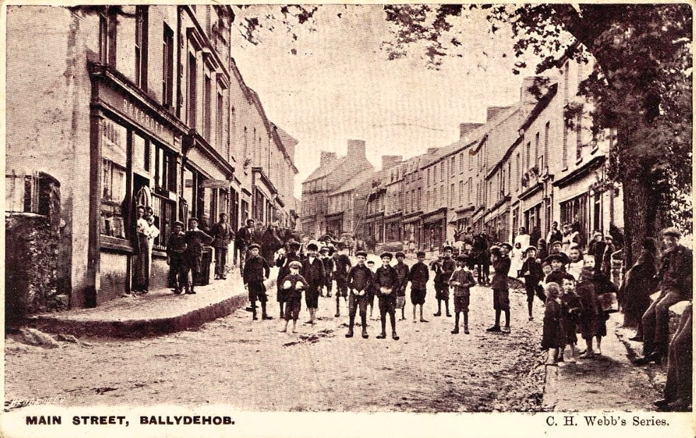
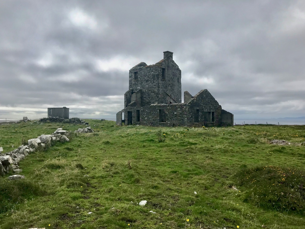
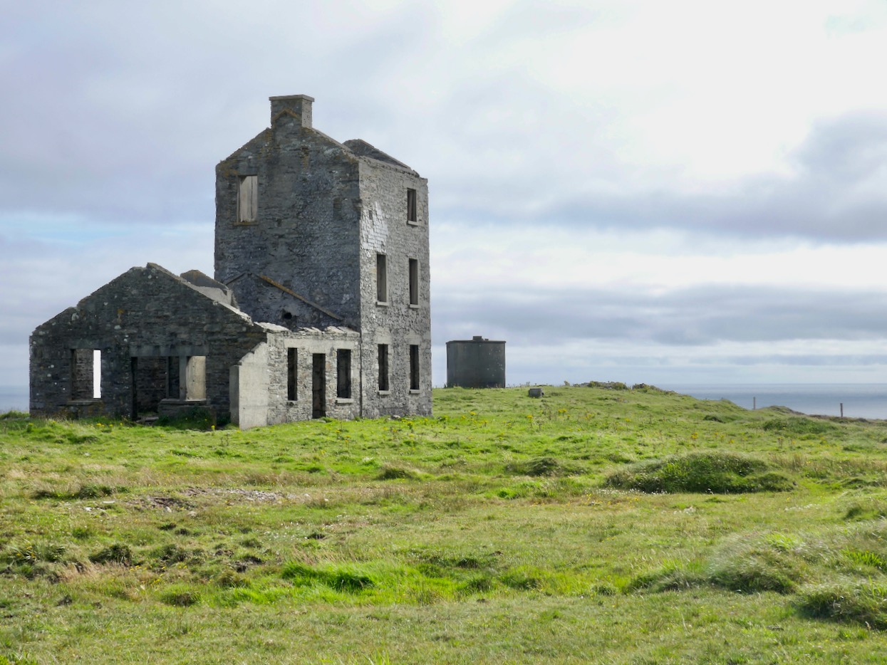
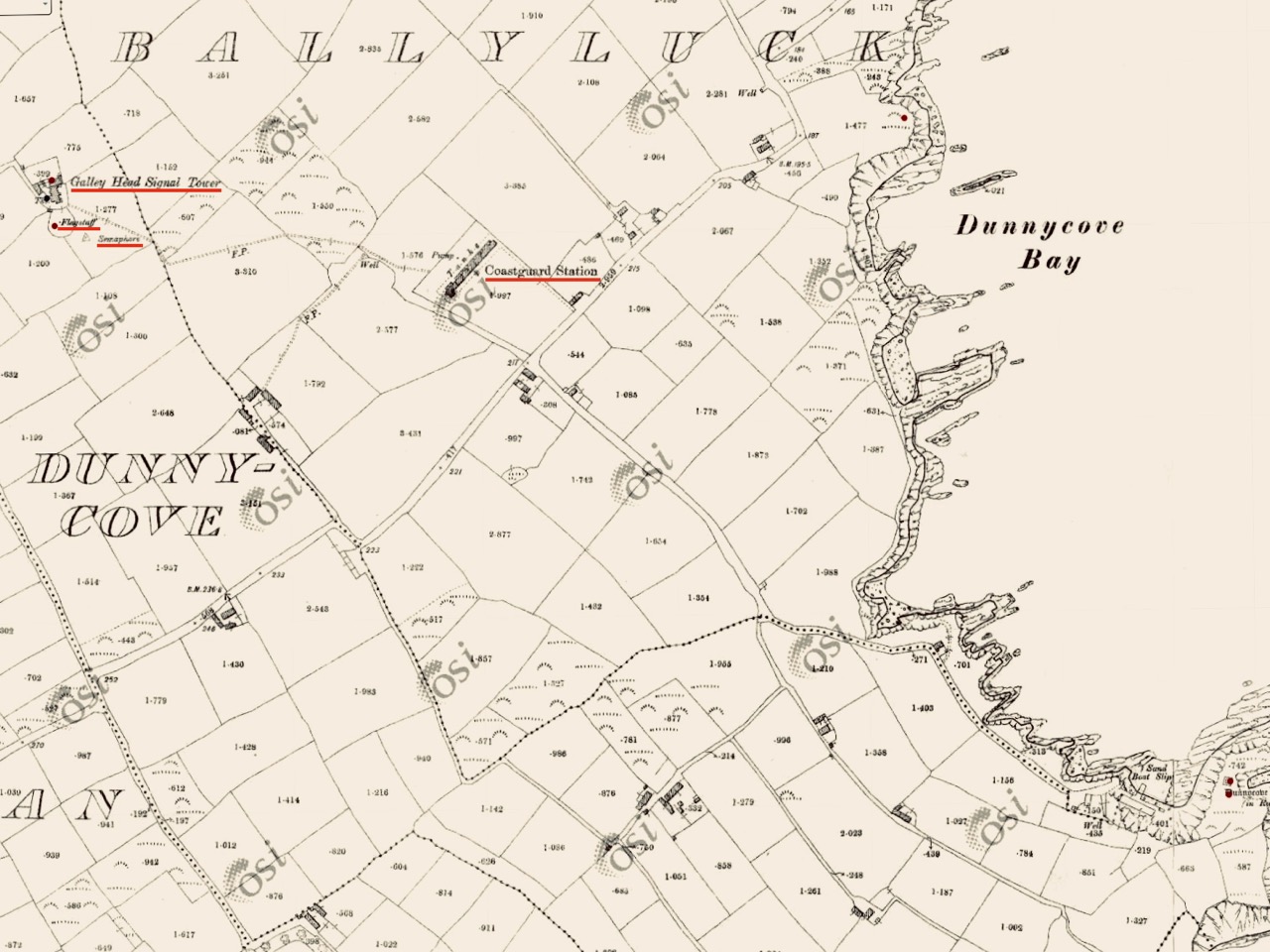
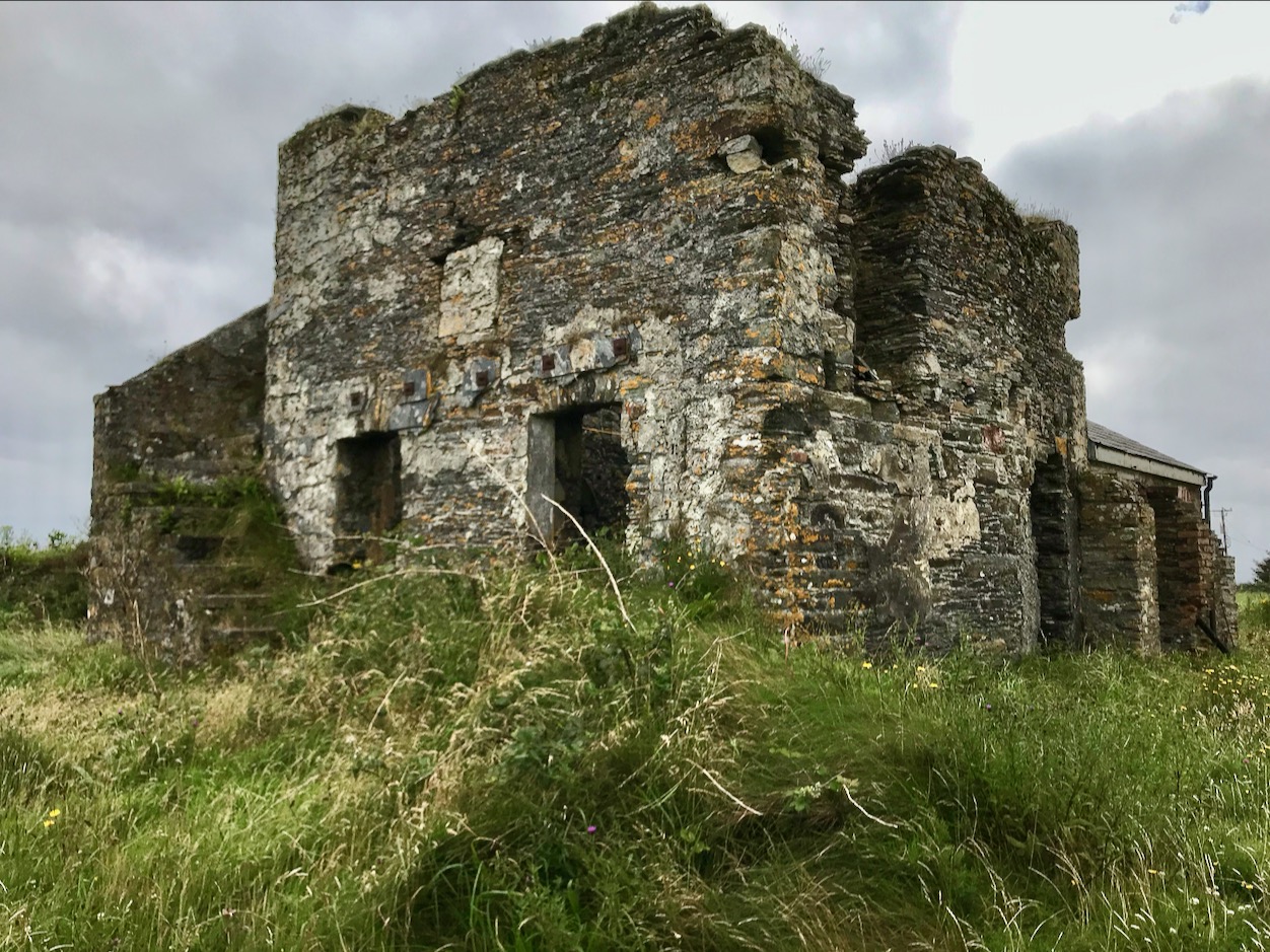
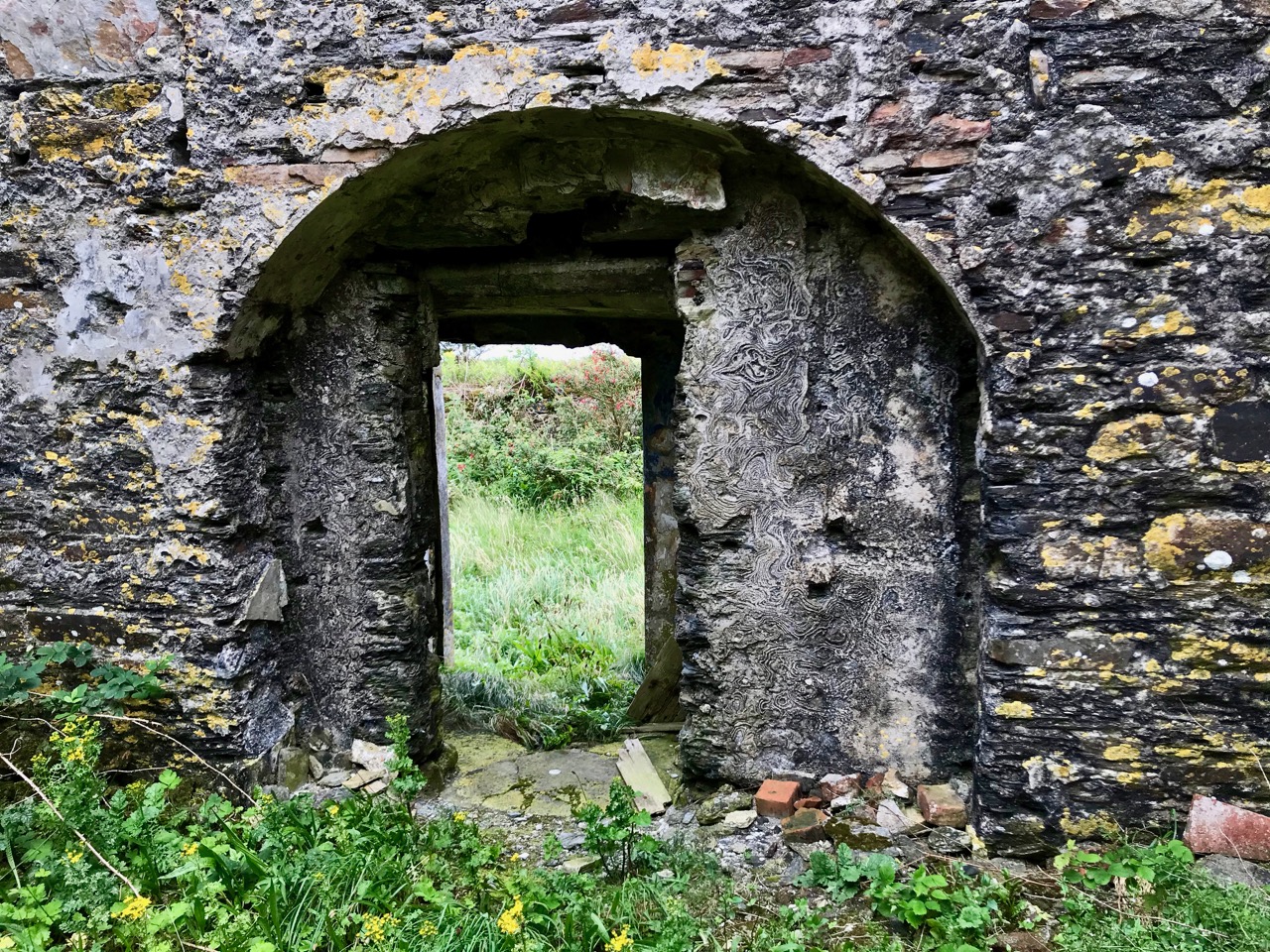
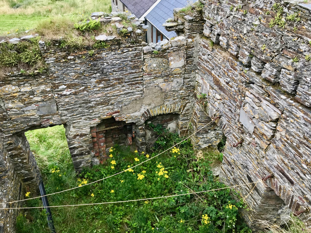
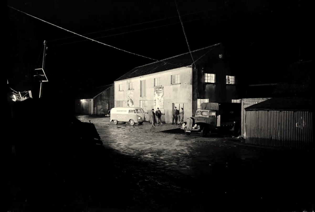
Above – Ballydehob before electrification. The ESB Archives are alive with colourful descriptions of the Rural Electrification works arriving here and in neighbour Schull. Reports from the on-site engineers are droll . . .

Schull Rural Area, April 1952 . . . Mr O’Driscoll opens his post-construction report in almost poetic terms and then to show that he is not bound to one form of art, proceeds to give us a word picture of the terrain in Schull, which is even more realistic than the deepest purples that Paul Henry ever used. We gather that pegging was, at times, a highly arduous and dangerous task and it would appear that among the wonders of the modern world, the greatest (in the view of the pegging team), was how this Area was ever selected for electrification . . .

ESB Archives

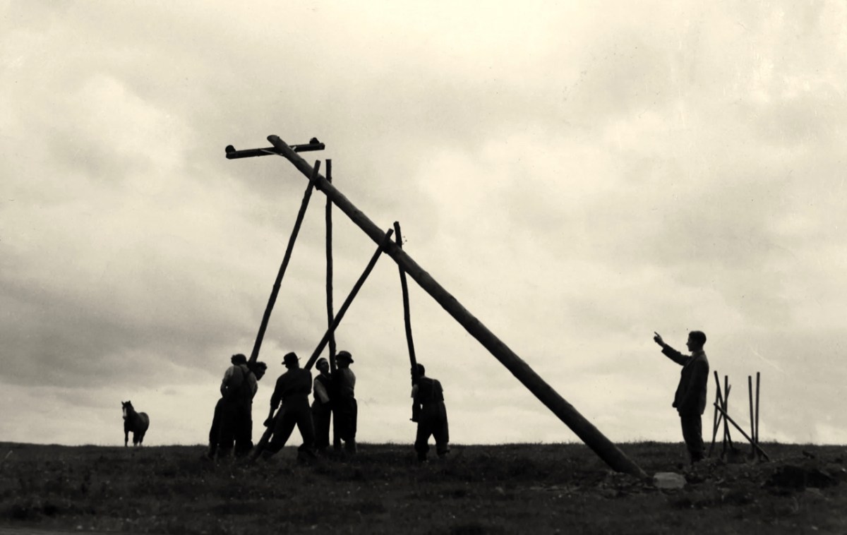
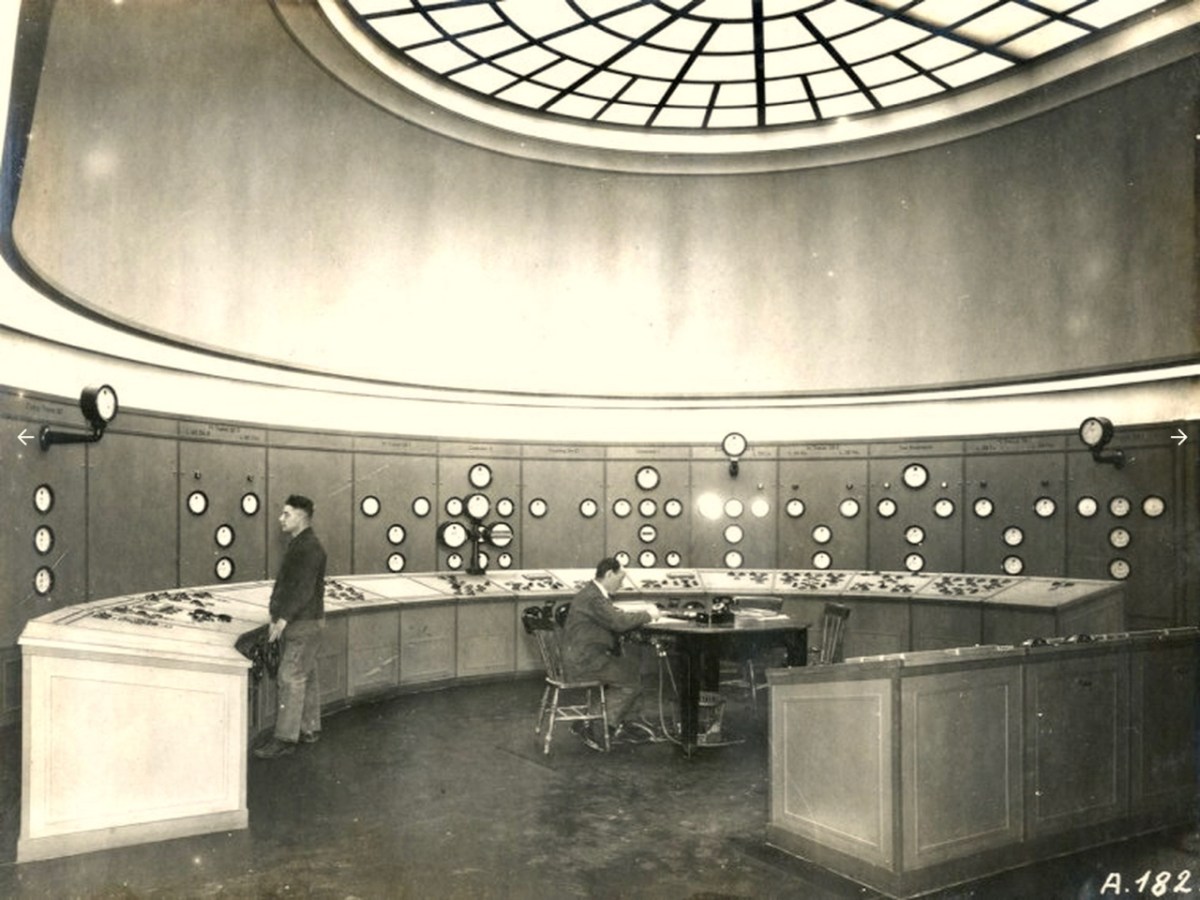
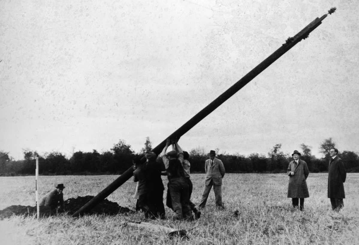
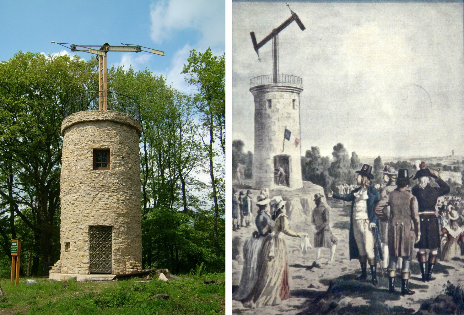
‘Pegging’ is a term in common use in the ESB Archives. It refers to the art of raising poles and stringing them with wires across the country. Evidently, the ‘landed gentry’ unkindly described them as “those beastly sticks”. Over 1 million poles were erected eventually, with 78,754km of wire used and a total of 2,280lbs of gelignite consumed during construction. The overall cost was some £36m (equivalent to €1.5bn today).

. . . We had very few wayleave difficulties. Sometimes an argument would develop with a local farmer whether the patch of grass where we put a peg was a field or not. If he convinced us it was a field, which he usually did by showing us the welts on his hand, we shifted the peg. It would seem too much like taking the bread from the mouth of a child to destroy his farm and livelihood by one pole . . .

ESB ARCHIVES

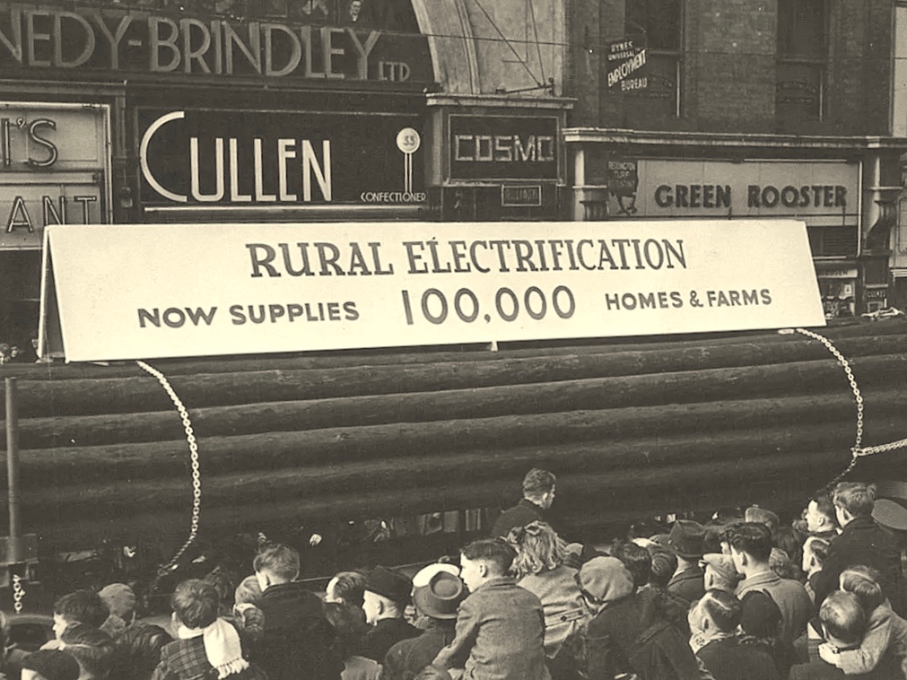
Above – Celebrations came with the connection of the 100,000th premises in 1954. Now we return to our own West Cork:

. . . It is interesting to note, and perhaps might be taken as a headline, that the early switch-in of the villages of Schull and Ballydehob (1952) had an excellent reaction on the more outlying areas and could not be denuded of all credit for the extra consumers eventually connected . . . There was an amusing revival of an ancient rivalry between the two villages. Ballydehob, looking with pride at their 100kVA transformer, were inclined to be scornful of Schull where a 50kVA transformer was erected; but the Schull people not to be out-done, countered by pointing out that there were many more poles in their “Town” than in Ballydehob “Village”. . . Only 8 houses remained to be wired when the gang left the area, 3 of these were parochial property and 4 were under the control of the Board of Works . . .

ESB ARCHIVes

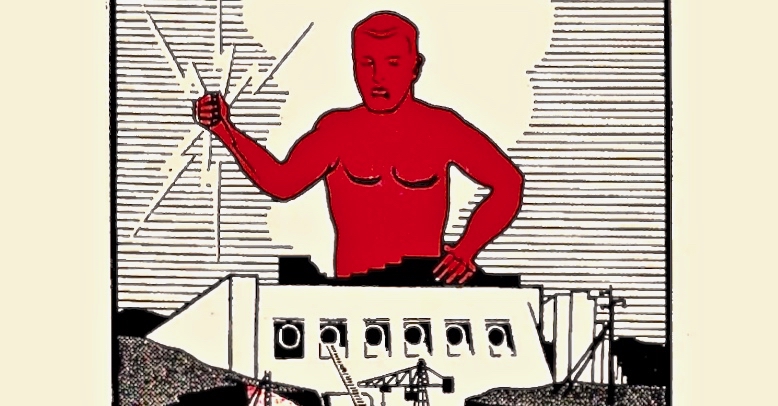
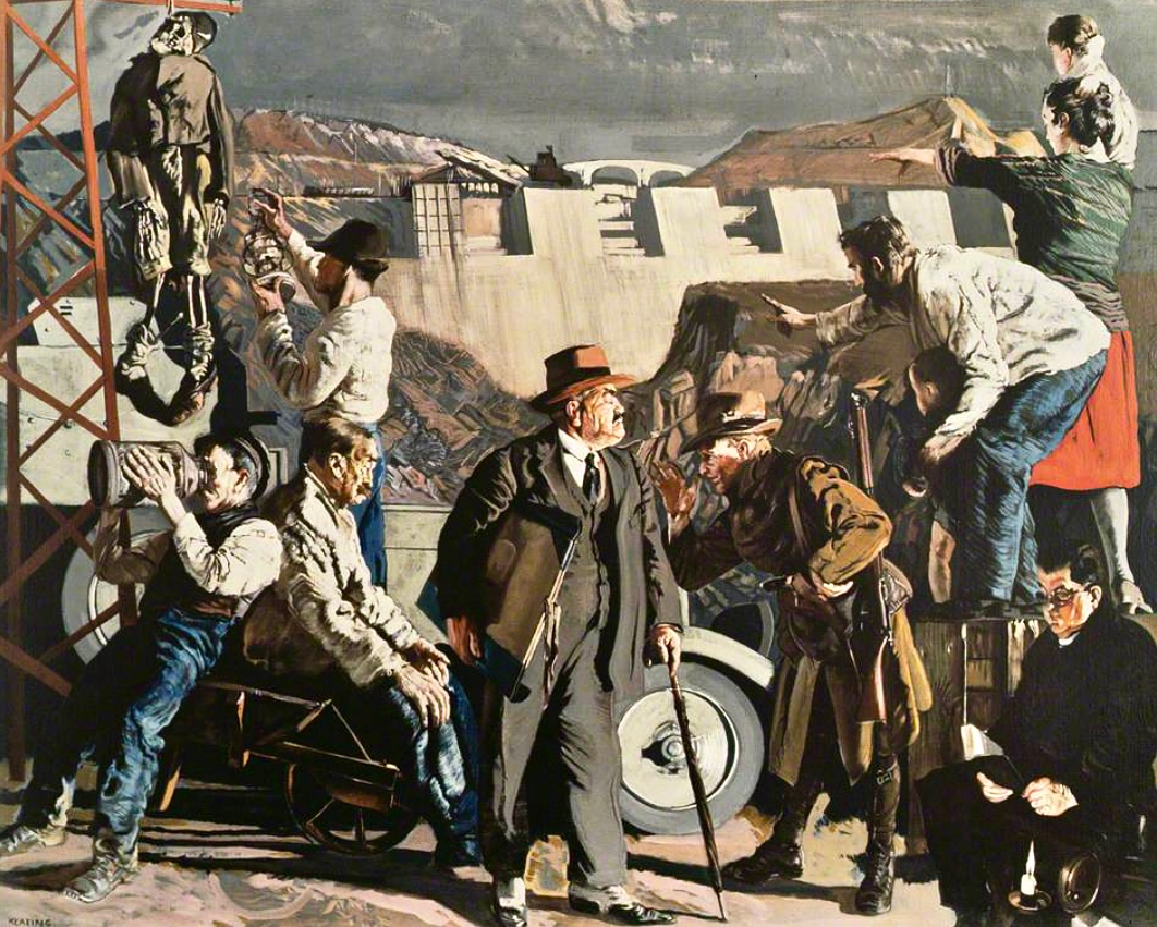
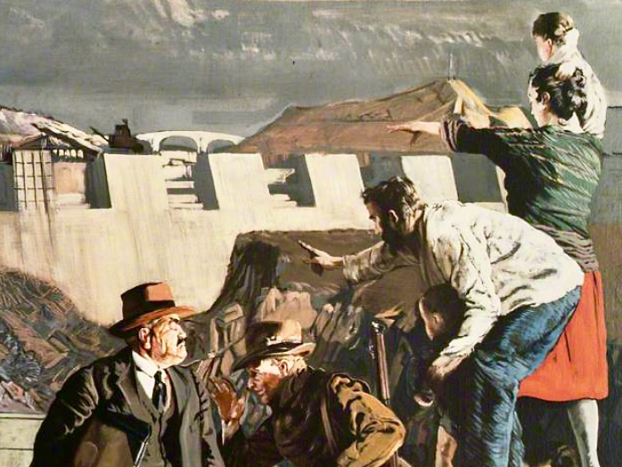
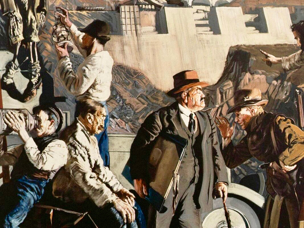
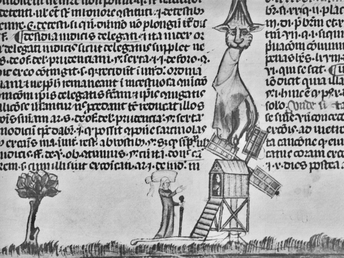
The mention of “parochial property” in the paragraph above – from the ESB Archives – is of significance. The term would be applied to churches and schools, certainly. As outlined in last week’s post, Seán Keating was scornful of his view of the clergy position on Electrification: his Night’s Candles painting shows the priest still reading by the light of a candle while the world moves on around him. We can find differing views on the attitude of the Church.

. . . Throughout the length and breadth of Ireland politicians of all political shades lobbied the ESB for their area to be electrified. It wasn’t just politicians who tried to exert their influence: in July 1957, the parish priest of Ballycroy, County Mayo, wrote to the Rural Electrification Office. He said that his parishioners were anxious and that they believed he could influence decisions at the Dublin head office. “Sometimes people get an idea that the PP isn’t taking any interest in these matters. I need not add that I have a very deep enthusiasm for the light coming to Ballycroy” . . .

The Irish Story.com

Above – celebration in Dublin St Patrick’s Day Parade 1954. Here in Ballydehob I was pleased to hear some reminiscence from retired schoolmaster Noel Coakley pertaining to the ‘parochial property’ which remained to be wired when the gangs left the area:

. . . Having had the luxury of the electric light when growing up in Bantry town in the 1940s and 50s, rural electrification was a subject of which I was blissfully unaware until my first teaching post, 60 years ago next month in Tragumna National School near Skibbereen. Though the building was wired for electricity and rural electrification had already arrived in the area, the school wasn’t connected to the grid. On checking the reason, the reply I received from the then School Manager, the local Parish Priest, was, ‘Why would a school need electricity?’ End of the matter! Indeed, I should have known better because my own alma mater, Bantry Boys’ NS which was on the Hospital Road, wasn’t even wired for electricity. In fact, it wasn’t connected until the autumn of 1970 during the 2 year experiment, 1969-71, on having Summer Time all year round. Back teaching in Bantry by then, teachers and pupils had to endure almost pitch dark classrooms for the first year of the trial. Coming to Ballydehob in February 1971 was going from darkness into light because the school here could even boast of having electric sockets into which we could plug new fangled machines like tape recorders, while Bantry Boys’ had only being upgraded to two 100w single bulbs per classroom. Regarding Rural Electrification in Ballydehob, I think the village was connected around 1954. I do recall that the area around the townland of Knockroe, bordered between Bantry Road and Skibbereen Road, didn’t get connected until the 1970s because the majority of residents refused connection when the rest of the district was being electrified . . .

Noel Coakley, Ballydehob – personal communication

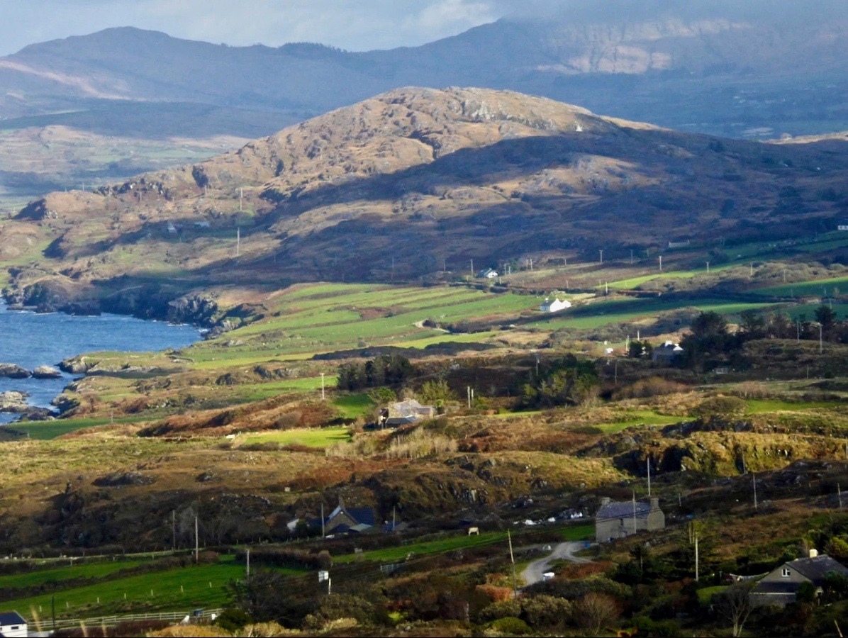
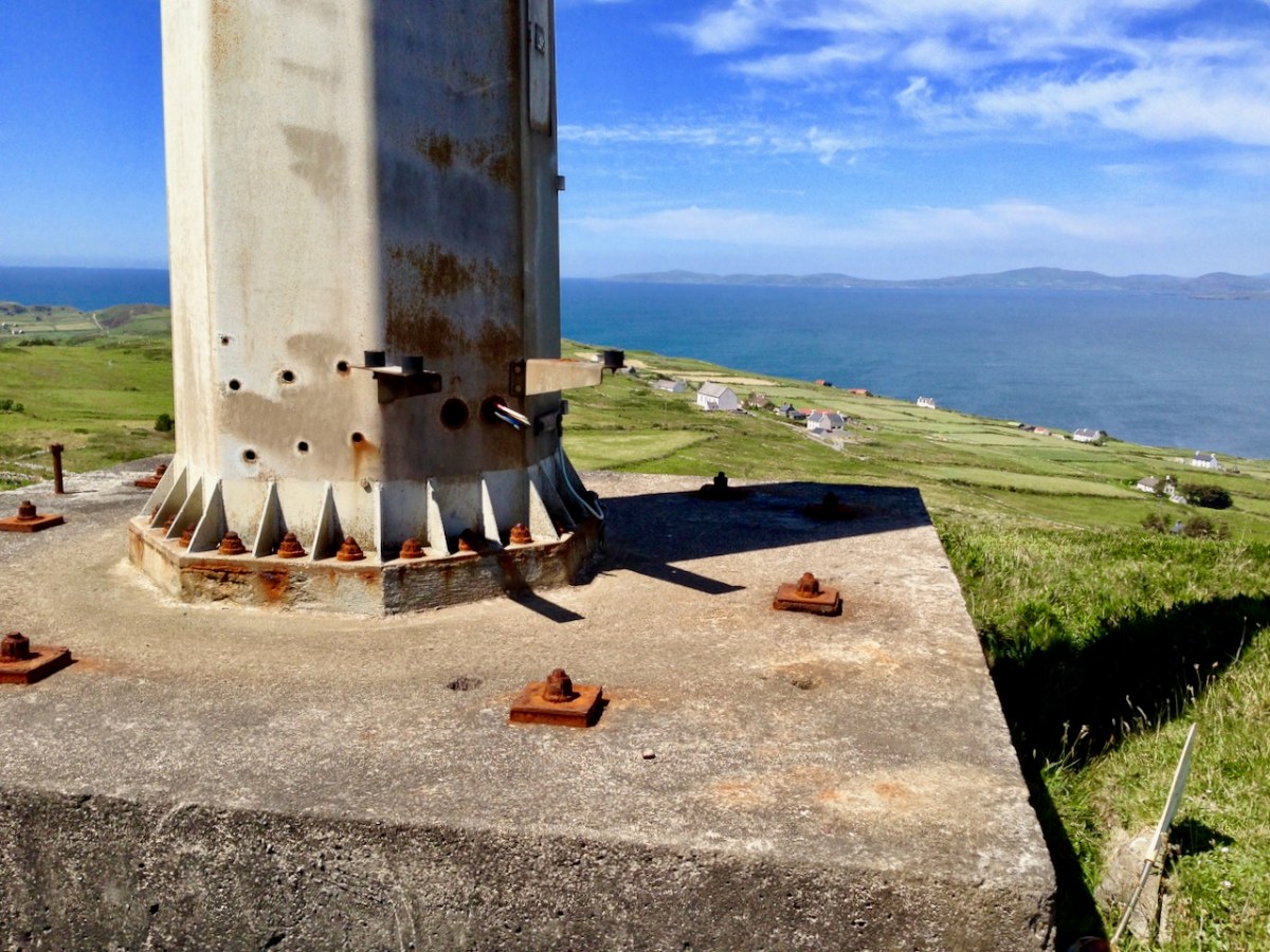
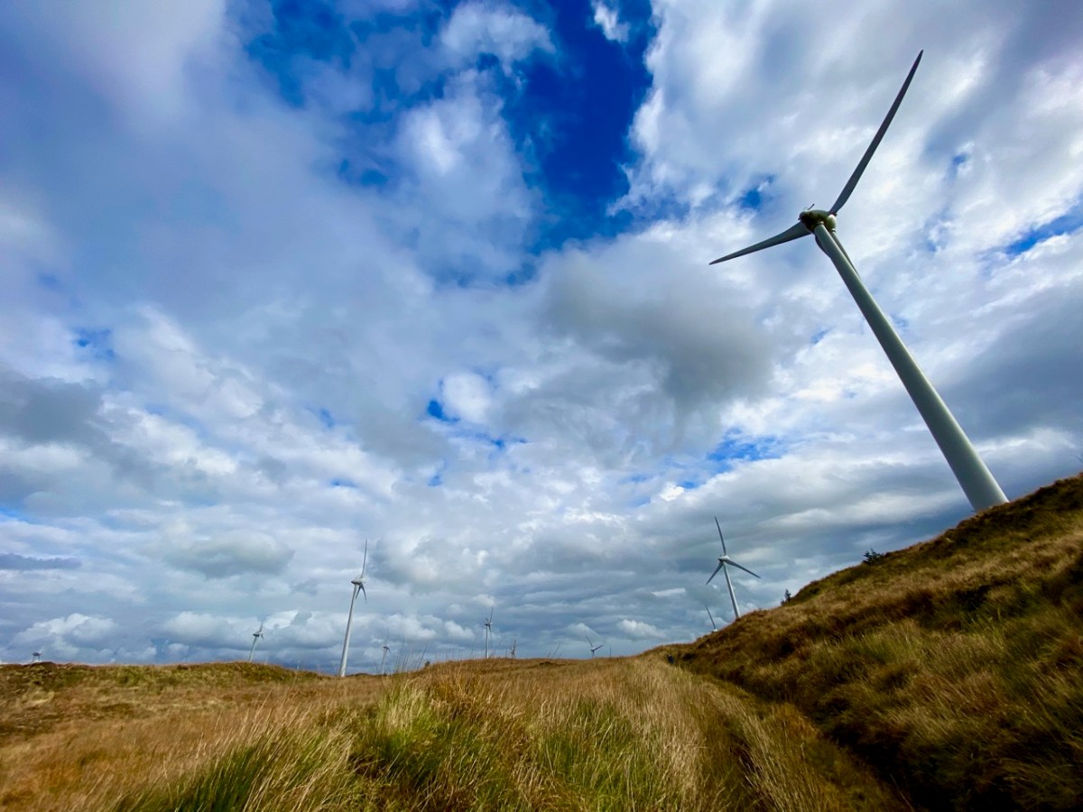
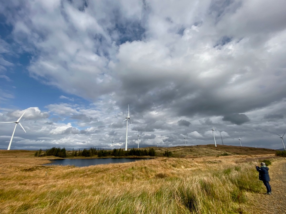
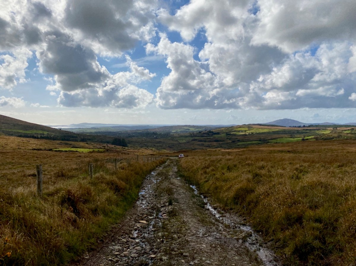
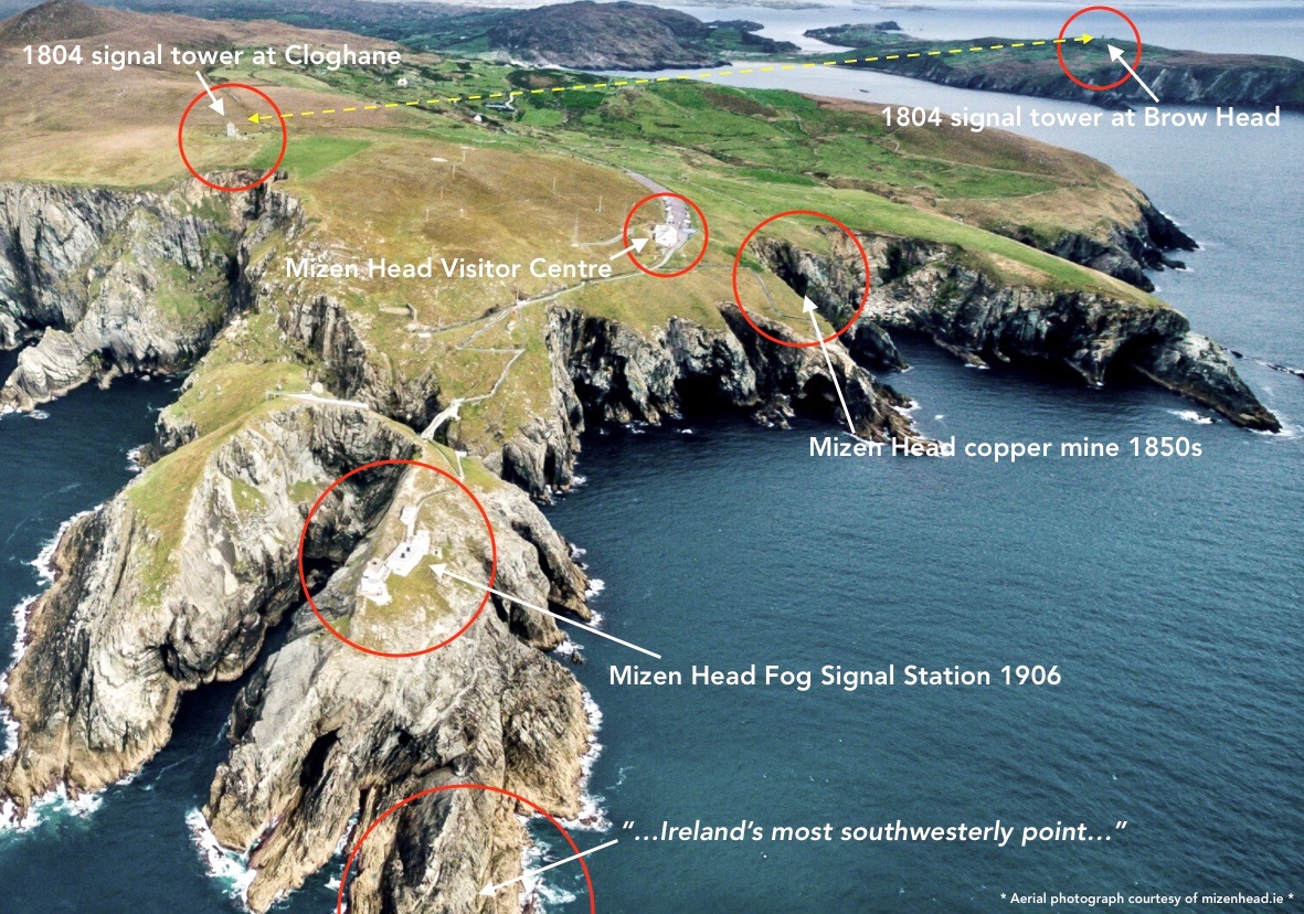
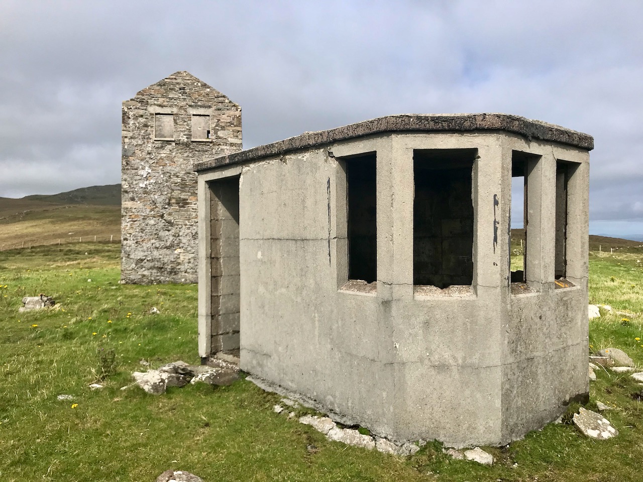
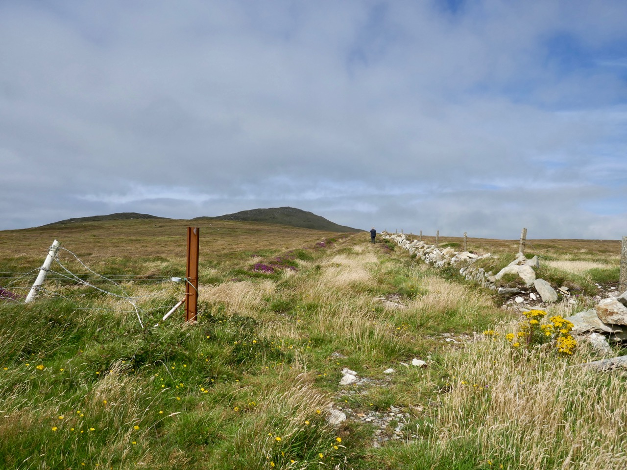
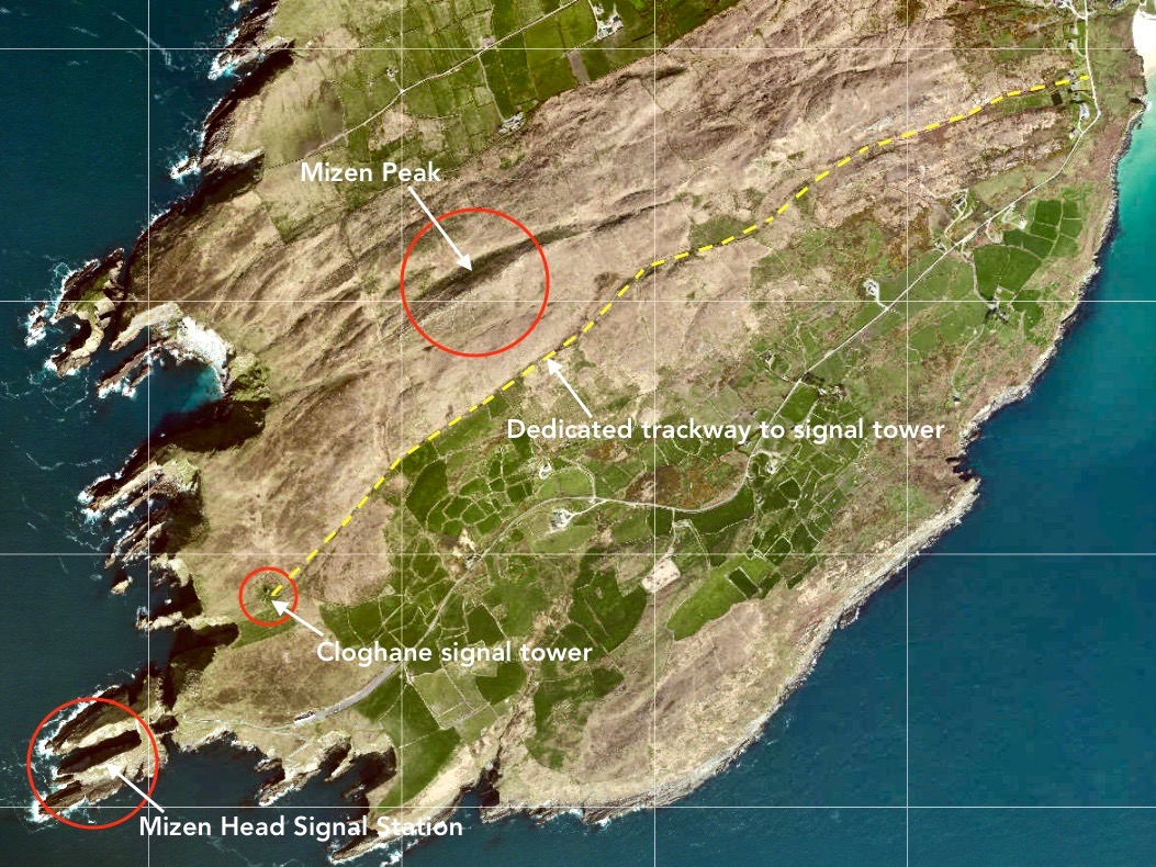
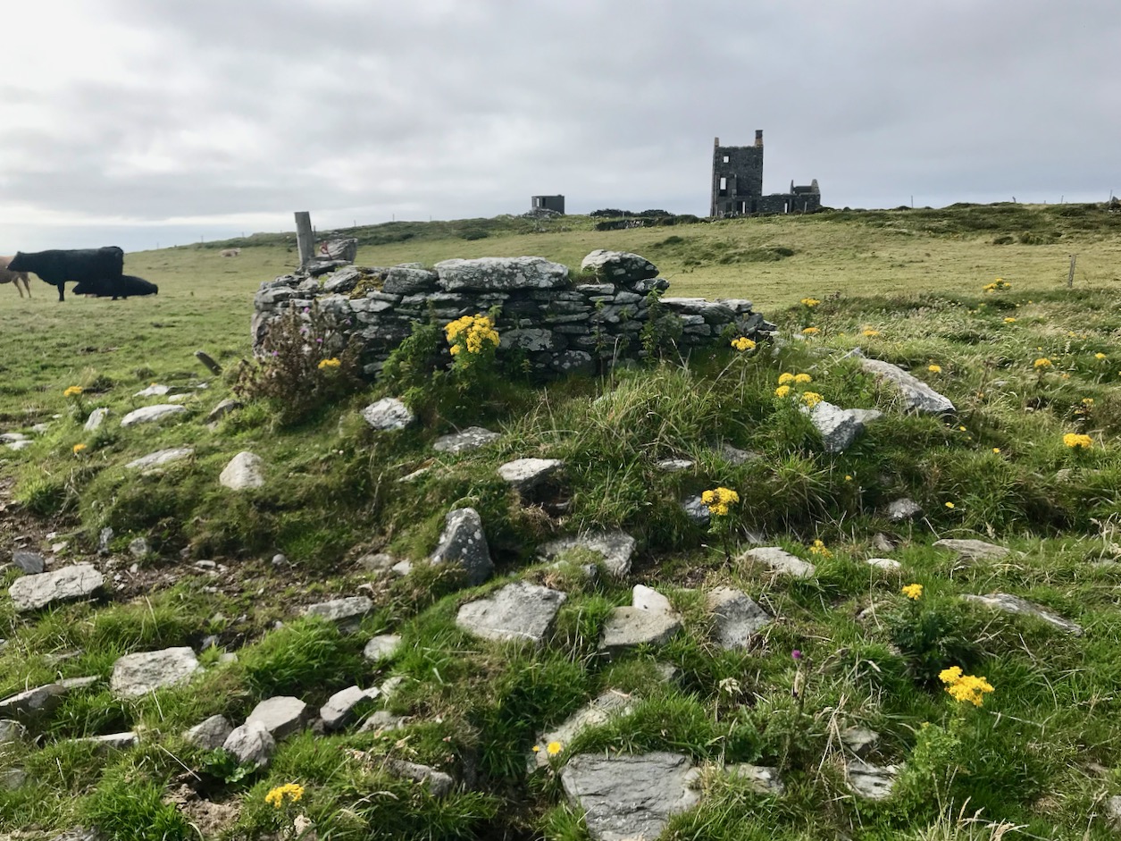
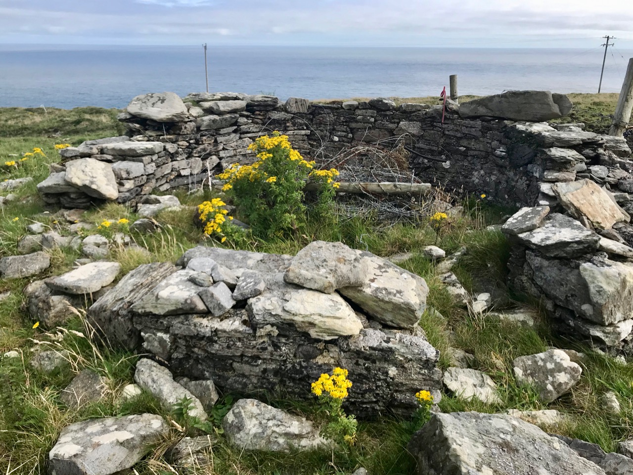
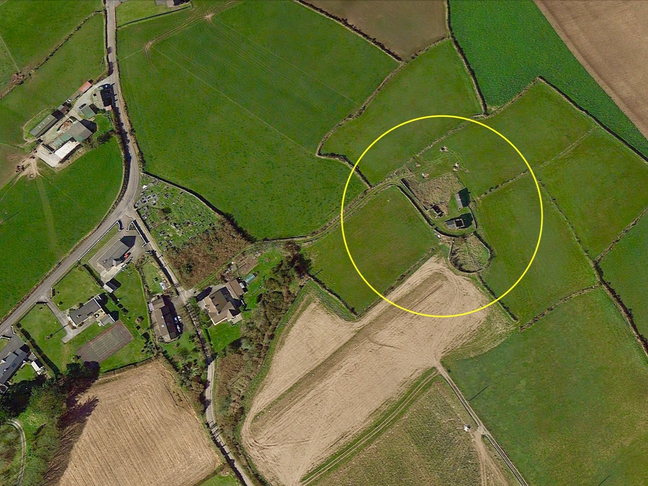
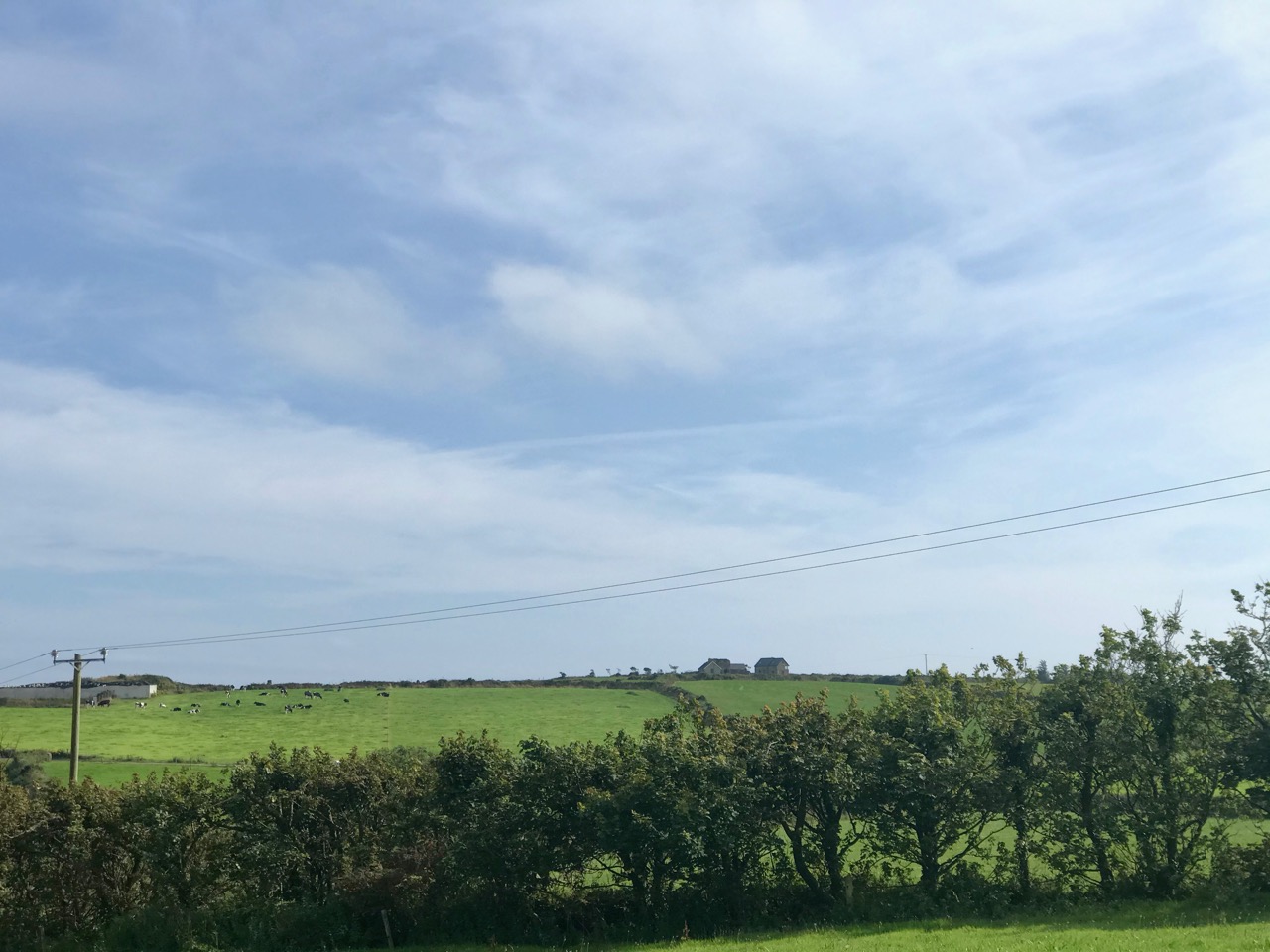
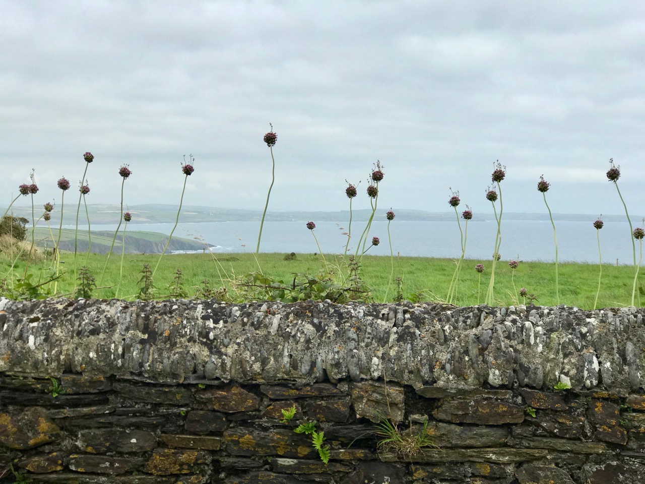
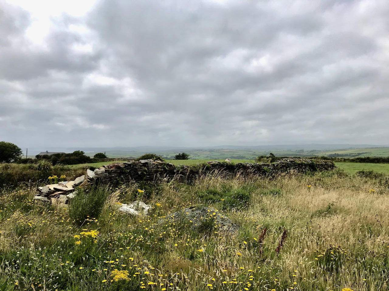
Above – a network of ‘pegs’ crossing the north side of the Mizen today.

Once again, I am grateful to Michael Barry for pointing me in the direction of some of this information, and for switching on the lights for me in respect of the extensive ESB Archives. I also appreciate the contributions of Noel Coakley and Eugene McSweeney, Ballydehob. Are there any other stories out there? More to follow next week!

Night’s Candles are Burnt Out

There’s a wealth of tales to be told about the first decades of independent Ireland. The 1920s and 1930s saw a flourishing of confident projects portraying a nation on the cusp of change, establishing itself in Europe and beyond. One such was the hydro-electric scheme at Ardnacrusha on the River Shannon. Foundations were laid in 1925 and works completed within four years, providing the young country with what was then the world’s largest power station. The intention was to enable everyone in Ireland to avail of the most trendsetting modern commodity: electricity.

The documentary photo above looks like a scene from a science-fiction film: it’s the control station at Ardnacrushsa, shortly after the completion of the project. This, and many other of the illustrations which I will refer to, are taken from the excellent ESB Archives: I am very grateful to them for the use of these. The building of the huge dam and power station was documented in fine detail – and not just in words and photographs. The notoriously outspoken and visionary artist – Seán Keating – chose to record the accomplishments in his own medium, painting.

This is one of Keating’s works from the time: Night’s Candles are Burnt Out. (Thanks to Gallery Oldham). It is, perhaps, the finale of his series drawn and painted during the construction of the works – which he undertook on site under his own initiative and without a sponsor. Art historian (and biographer of Keating) Dr Éimear O’Connor suggests:

. . . Keating went down to Ardnacrusha because he knew that the construction project was emerging history. It was all happening around where he was born and raised. The machinery was going to carve up this landscape that he saw as ‘a medieval dungheap’, that was how he described it in later years. And this was a metaphor for him, the whole thing was all about Ireland moving forward into modernity. Night’s Candles features the dam at Ardnacrusha, but also includes a group of figures in the foreground, all of whom represent different aspects of what Keating saw as the Ireland of the day. When he showed it at the Royal Hibernian Academy in Dublin, it was called ‘the problem painting of the year,’ which Keating thought was hilarious. They couldn’t get their heads around this idea of what he was trying to do at all . . .

O’Connor: Seán Keating: Art, Politics and Building the Irish Nation, 2013 (Irish Academic Press)

In this detail from the painting we see Keating himself (top right) together with his wife and sons, pointing to the vision of Ireland’s future. On the left of the full painting is Keating again, inspecting a hanging skeleton, perhaps reminiscent of the Famine. Most significantly, perhaps, at the bottom right is a priest reading by the light of the candle. O’Connor is clear about this portrayal:

. . . It tells you an awful lot about Keating and his attitude to the Church at the time. Like many others in the cultural sphere in Ireland, he was disappointed with post-Treaty Ireland, with successive governments and the Church, who were in cahoots, if you know what I mean. He knew well that the whole country was tied up with them, and with that kind of organized religion that was deeply conservative. And Night’s Candles is very much an expression of that disappointment, I think . . .

O’Connor: Seán Keating: Art, Politics and Building the Irish Nation, 2013 (Irish Academic Press)

It’s worth dwelling on this painting a little longer, and viewing Keating’s thought processes, through O’Connor’s eyes:

. . . What Keating was trying to do was reflect upon a country on the brink of change. It was in those years, in the 1920s, that the term ‘gombeen man’ came into being. We all know that it means the kind of businessman or politician who’s making money off the backs of everybody else. And that’s the gombeen man in the middle of the painting. I think it’s quite clear that Keating’s hope was that modernity, as represented by Ardnacrusha, would end all that stage-Ireland paddywhackery that had prevailed for years . . .

O’Connor: Seán Keating: Art, Politics and Building the Irish Nation, 2013 (Irish Academic Press)

Above – posters from the time of the construction work at Ardnacrusha (ESB Archives). It was certainly the most exciting project in Ireland’s young days, and tourism was encouraged. Hand-in-hand with the major works themselves went a crucial publicity campaign to encourage people to embrace the coming of a readily available electricity supply to homes and businesses. The steps taken to try and ‘get the message across’ was an uphill task. Considerable funds were expended – and a large sales force garnered – to tour the country and persuade the population to buy into the project.

The visuals, humour and underlying psychology of this Ardnacrusha construction-era promotional poster really appeal to me. In case you can’t read the ‘small print’, this is the message that’s being pushed:

. . . 90,000 Horse Power of energy will be available from the Shannon Electrical Power Station next year for Irish Industry and Irish homes . . . The American workman is the most prosperous on earth, because he has, on average, three horse-power, the equivalent of thirty human slaves, helping him to produce. No wonder he can toil less and be paid more than the workman of other lands. He is not a toiler, he is a director of machinery . . .

Post-Famine, America was always seen as the ‘golden land of opportunity’ for Irish emigrants. Now, in 1930, we are being told that Ireland will have the capability to match those fabled fortunes!

. . . Shannon Electricity will lift the heavy work of industry from human shoulders to the iron shoulders of machines . . .

The coming of electricity across Ireland opened up markets for retailers to vend a host of innovative gadgets. This mobile electricity showroom from the 1950s (ESB Archives) covers the gamut of lighting, cooking, refrigerating, water supply to sinks using pumps, milking machines and labour-saving devices for farms. In a future post I want to focus on Rural Electrification, which was a long haul: taking poles and wires out into the extensive hinterland. This was – arguably – the most heroic part of the process of electrification, and we can’t help wondering whether the following somewhat iconic ESB print of the first ‘peg’ being raised at Kilsallaghan, on 5 November 1946 was inspired by the famous Iwo Jima Victory photograph taken by Associated Press photographer Joe Rosenthal on February 23 1945 (lower pic). Both portray a moment of triumph.

Many thanks are due to Michael Barry who referred me to material from the ESB Archives covering our own West Cork areas. Watch out for our commentary on this in a forthcoming post!

All At Sea

Arklow, Co Wicklow, had a ‘first’ for Ireland: the first offshore wind-farm installation in the country, and the first in the world to employ wind turbines rated over 3 MW. Phase 1 of the project, commissioned in June 2004, consists of seven GE 3.6-megawatt generators. The total output of 25.2MW seemed good at the time but the improvements in technology since it was constructed are considerable. A second phase, currently being planned, aims to achieve an export capacity of up to 800MW.

Going back in time a bit, we can see that Ireland has always been at the forefront of wind technology. Above is a still from an RTE news piece on 23 October 1987. This reports on the installation of two state-of-the-art (then) wind powered generators on Cape Clear Island, in West Cork.

. . . The new technology was funded largely by the Germans and came in at a cost of around £500,000. The two wind-powered generators stand fifty feet above the top of the island and provide 30 kW each from the turning of their 12.5-meter blades. The National Board for Science and Technology claims that this new technology is the first of its type in the world as it integrates wind generation with diesel generators and battery storage creating a complete power supply . . .

RTÉ Archives

(Top) another still from the RTÉ news piece, and (above) aerial view of the site. The masts and turbines are still in place today, although they have been disused since the island was connected to the mainland for electricity supply via a subsea cable in 1996. (Below) we photographed the surviving turbines on the island in 2016.

Wind power goes back a very long way, of course. Here (above) are some very picturesque ancient examples from La Mancha, in Spain. Here’s another (below) – Pitstone Windmill in England: an interesting composition with newer technologies in the background.

Compare technologies old and new (below)!

In West Cork we are no strangers to the more recent developments in this expanding field, although at present all land based. The scale and form of the machinery is, of course, increasing apace. These examples are on the hills close by us:

But it’s the vast resource of our relatively benign coastal waters that offers the most for the country’s still young wind-power industry. There’s a further example being planned in County Wicklow: the Codling Bank Wind Park scheme. Currently in the consultation stages, it is hoped that construction will be completed in late 2028. 73 turbines are planned, to be sited on the shallow Codling Bank, some 20km out in the Irish Sea. This project – the largest so far in this country – has the potential to power 1.2 million homes using natural resources. It will also provide welcome employment for a large work force. And – in my eyes – an elegant contribution to the marine environment. Well done, Ireland!

Photomontage of the Codling Bank Wind Park seen from the shore at Greystones. Thank you to http://www.codlingwindpark.ie for the dynamic illustrations.

Going With The Wind

We set out to search for a lake in the hills above Ballybane West: it’s known as Constable Lake. There’s a story, of course – which I found in the Duchas Schools Folklore Collection, collected at Corravoley School in 1937. A whole gamut of stories, in fact, packed into two neatly handwritten pages. I don’t think I have ever found quite so much information on local lore in a single entry. Ammunition for a few more posts, perhaps!

In the district of Kilcoe, at the back of the school which I attend, there is a beautiful little river called the “Leimawaddera”. It means the “Dog’s Leap” because it is so narrow that a dog is considered able to leap across it in some places.

*

It rises at the foot of Mount Kid in Constable Lake. This lake covers over four acres of land. It is so called because a policeman was drowned in it a very long time ago.

*

After leaving the lake the Leimawaddera comes winding down through marshy land till it reaches Ballybawn which means the ‘white townland’, because in summer when the hawthorn is in bloom the place looks like a mass of white.

*

The river next runs through ‘Glounakillena’ which means the “glen of the church”, then on through Rossard near to the old ruin underneath which it is said there was a treasure consisting of gold, silver and brass buried by giants long ago.

*

The Leimawaddera then wends its way through Lishenacreahig, and then divides Ardura from Corravolley and on it goes till it reaches our school. In summer, at play time, the school children love to run down and paddle in its cool waters.

*

It next runs under a tramway bridge and after that under the Crooked Bridge and it enters the sea at Poolgorm Bay which means the “Blue Hole”.

*

Lisheenacreahig means the “fort of the fairy kings”.

BETTY CONNELL, ARDURA

In How Well Do You Know West Cork? on the Roaringwater Journal Facebook page this week, Finola posted this photo of Constable Lake:

This view is cleverly framed to minimise the clues, but several readers gave the correct answer almost immediately. Here’s a more revealing picture:

Constable Lake now lies within the boundaries of Ballybane Wind Farm and the 21 tall turbines can all be seen from its shores. It’s one of several farms in the West Cork area, strategically sited on the wild heathland ridges, working away at their mission of harvesting nature’s resources in order to provide us with electricity without burning fossil fuels.

Upper – on the aerial view I have marked each of the 21 turbines. Lower – from the Ballybane site the turbines at Drinagh and Coomatallin are visible

I find the turbines dynamic and exhilarating. I know there are many readers who will disagree with my opinion, and social media abounds with polarised views about them from all perspectives. It’s hard to home in on hard and fast truths on anything these days but I have read extensively – and scientifically – on the subject and it seems to me that these wind-turned appliances have a life expectancy of around 25 years, and they pay for their installation in less than two years. Of course, carbon emissions are involved in the construction and manufacturing processes but this is heavily outweighed by the carbon savings from running these instead of burning fossil fuels to produce our electricity. Dismantling costs are built in to the permissions, and there is no doubt in my mind that in 25 years time – or less – technology will have advanced towards other solutions.

A simple chart from 2017 (via FactChecking.org) which graphical shows how well onshore wind farms perform against other fuel sources. Only nuclear power is marginally better

Wind turbines have a huge visual impact on the landscape, so their siting is important. In the case of Ballybane they have been constructed on heathland and in an area that was formerly commercial forestry. I personally prefer the elegance of the actively dynamic structures to a dark, impenetrable and seemingly sterile sitka spruce plantation. The scale is aweing: in the following photographs here’s me at the base of one of the 64m high towers (upper picture) and, below that, you can see me again – the very tiny figure to the left of the main turbine.

The machinery of industry has always fascinated me. Windmills go back a long way. The first image, below, is from the 14th century Decretals of Gregory manuscript in the British Museum. This is followed by our photograph of Elphin mill, County Roscommon, which dates from 1730 and is said to be the oldest in Ireland. Next, an exploded view of the nineteenth century flour mill at Chillenden, Kent, UK (courtesy of John Reynolds) and then a comparable view of the workings of the Enercon E-70 Wind Energy Converter, which is the unit in use at Ballybane and has a rotor diameter of 71 metres.

The Ballybane Farm will power about 40,000 homes a year on average. That’s modest compared to the newest developments. Currently the world’s largest installation – the offshore Hornsea One Farm, Yorkshire, UK – powers a million homes, while in the Netherlands a huge Haliade-X offshore turbine is being developed with a height of 260 metres and rotor blades of 220 metres in diameter: it’s said that each sweep of the blade will keep a house powered for a day. But that’s enough of the technical stuff. I enjoyed the experience of being close to these giants, and hearing the significant swish of those blades powering us into a safer, carbon reduced future.

Above you can see the trackway leading us up to Constable Lake and the Ballybane Wind Farm. On the horizon is Roaringwater Bay and the distinct profile of Mount Gabriel. There’s an ancientness about this landscape that balances the surreal – somewhat ‘science-fiction’ – character of the turbines. For me, these elements complement each other, and the sheer scale of the contemporary engineering sets us apart from our slight, human selves – so vulnerable in these times.

A Signal Success in Irish Engineering – Part 7: Cloghane, Mizen Head

It’s a long way from West Cork, Ireland, to Sydney, Australia! And I’m not suggesting that signals could travel that far in the early 19th century . . . But I couldn’t resist putting up this engraving when I found it while researching signal towers generally as it is in fact an exemplary view with which to head up this – the seventh of our explorations into a fascinating subject. It has everything: the signal station itself, built on a prominent headland with a lighthouse nearby; a ‘telegraph’ mast and a flag mast for signalling; a man with a telescope looking out for a signal coming in – and a pile of logs with which to make a beacon fire to communicate urgently at night! The only difference, in fact, between the Irish stations and this ‘colonial’ one on the other side of the world is the building material. In Terra Australis (the name used for that continent until 1824, and meaning ‘southern land’) it was timber, whereas in Ireland the towers were of masonry and constructed with elements resembling medieval tower houses.

But it’s fair to say that today’s foray into the story of the Irish Napoleonic-era signal towers also has everything. Perched on Ireland’s most southwesterly point – Mizen Head in the townland of Cloghane – this site is one part of a craggy, indented promontory which is scattered with historical elements.

I have tried to illustrate a history time-line graphically by superimposing some of the significant sites on an aerial view (above – courtesy of mizenhead.ie), although even this does not tell the full story. Apart from an undated promontory fort in the north of the townland the signal towers are the earliest elements, specifically dating from 1804 and part of the network of 81 towers around the whole coast of Ireland which we have been charting in our posts. Interestingly, the two towers shown on the top of this view – at Cloghane and Brow Head – are the closest together of any around the coast, being only 3.8 km apart. The average distance between towers is 13.5 km, while the maximum distance is 36.9 km (between Ballydavid and Kerry Head in Co Kerry): we have not yet explored those sites. Here are two views from Cloghane across to the signal tower at Brow Head:

A feature at Cloghane which doesn’t show up on the aerial view is this Second World War lookout post, built close to the early signal tower around 1942. 83 of these structures were built by the Irish Defence Force to monitor activity at sea, many of them relating to Napoleonic-era sites for obvious reasons: these locations had already been selected for their inter-visibility and the panoramic views which they commanded. We have encountered these ‘Emergency-era’ posts previously at Kedge Point, Baltimore, and Ballyroon Mountain, Sheep’s Head (see the full list of links at the end of this post). We shouldn’t get diverted, but if you want to know more about these here is an excellent creative presentation on them carried out in 2014 by Tim Schmelzer of Vienna – particularly, I recommend that you view the first of the videos: it’s wonderful! The LOPs were designed by Howard Cooke RIBA of the Irish Office of Public Works in 1939 and I was fascinated to see that the design achieved recognition (‘posthumously’) from the National Inventory of Ireland Buildings Archive. The posts were cramped, damp and minimal, but apparently at least equipped with small fireplaces:

Mizen Head has drama: there is no land beyond this place until you reach America. And, if you are approaching Ireland from the south or west, Cloghane will be your first landfall. But it’s a dangerous coastline, particularly in stormy weather or at times of poor visibility. Hardly surprising, then, that a fog signal station was established on the furthest point in the early 20th century, under the jurisdiction of the Fastnet Rock Lighthouse. This was initially only a foghorn, powered by explosives: a light was not placed there until 1959.

That this signal tower is the virtually identical ‘twin’ of the one we explored at Robert’s Head must be significant, as both are unlike the general pattern we have seen elsewhere: a simple ‘defensible’ structure some 6m square with flat roof, parapets, machicolations and bartizans. My conclusion at Robert’s Head was that the tower had been substantially rebuilt to incorporate upgraded accommodation, perhaps for use by the Coast Guard which was formally established in 1822. Comparing it now with the Cloghane structure it seems more likely that these might both have originated as larger, better appointed buildings. I wonder if this could be because of the relative remoteness of both sites, which would not be easy to populate and service from any nearby community. It was a long trek to Cloghane: the original dedicated trackway, some 2.7 km long is still defined on the landscape, and passes under the 232m high Mizen Peak.

The signal tower at Cloghane is in reasonable condition considering its age and the long period of abandonment (many of the towers went out of use after 1812 although some – possibly including this one – were revived and adapted for use by the Coast Guard). Many visitors have left their marks over the years, and some of the graffiti is intriguing! There is also some vestige of the timber casement frame remaining in one of the window openings: surprising considering the level of exposure to severe storms at this remote site.


There’s a conundrum at this site that I want to share with you. A little distance to the south of the signal station building is a grouping of stones which are easy to miss at first glance, Have a closer look:

It’s the base of a circular building, or enclosure – a few metres in diameter. Archaeologists amongst you might think in terms of round towers but we can discount that in this desolate location. It does not seem to relate to the signal station buildings, either in terms of architecture (it gives the impression of being rougher and, perhaps, earlier) or usage. With regard to its age, it shows up as a feature on the early 6″ Ordnance Survey map:

What might it be? A mine chimney? But the Mizen Head Copper Mine was a long way from here (refer to the annotated aerial view). The size and shape resemble a gunpowder magazine which we came across at Dhurode Mine, on the north side of the peninsula. The only reason for having a gunpowder store at a signal station would be for a fog signal operated by explosives, as was the case at the Fog Signal Station lower down the Head, built in the early twentieth century. This is clearly much earlier. The dreamer in me pictures, rather, a hut lived in by a medieval hermit, supported by a local monastic settlement to keep beacons burning on Ireland’s headlands in perpetuity. Like the round towers, these were signals to travellers in ancient times that here might be found a haven. For seafarers, perhaps, this one signalled the gateway to a fertile land of enlightenment.

The previous posts in this series can be found through these links:

Part 1: Kedge Point, Co Cork

Part 2: Ballyroon Mountain, Co Cork

Part 3: Old Head of Kinsale, Co Cork

Part 4: Robert’s Head, Co Cork

Part 5: Downeen, Co Cork

Part 6: Dunnycove

A Signal Success in Irish Engineering – Part 6: Dunnycove

Galley Head, in West Cork, is one of those wild and exposed headlands where you get exceptional views in all directions. In our hunt for Napoleonic-era signal towers on the Irish coast you would fully expect to find one of the towers here – but no! A lighthouse and lightkeepers’ cottages – yes. These date from around 1875 but, in the early years of the nineteenth century, the strategically important signal tower was built inland, in the nearby townland of Dunnycove.

The header picture shows what remains of the tower itself today. This has in fact been adapted over the years, and the original building conformed to the square tower pattern that we have investigated elsewhere (a good example is at the old Head of Kinsale). The upper picture (above) shows the lighthouse at Galley Head seen from high ground to the east, while the lower picture is an aerial view of the Dunnycove signal tower site in its wider surroundings. Below is an 1806 map of the ‘. . . Ground occupied by the Signal Tower and Road leading to it at Galley Head . . .’ This tower is often referred to as the Galley Head Tower, even though it is some distance inland from the Head. But it is well placed to command views to the towers in the communication chain immediately to the west (Glandore) and east (Seven Heads).

The curious profile of the site as marked out on this early map shows a segmental shaped area to the south of the tower. It is likely that this was where the signal mast itself was situated. I am intrigued by the descriptions of the surrounding land: ‘good Meadow’, ‘Indifferent Pasture’, ‘Very Good Pasture Ground’ and ‘Arable good Ground’. Also, on the left of the survey drawing appears to be a table of land values, and the statement that ‘The Road is already made to this Tower and has very good ditches on each side of it, and is 312 perches long’. The road is in good condition today, as the site has been developed with a cottage and modern studio:

There’s nothing better than good local knowledge when you are trying to piece together a historic jigsaw puzzle. We were delighted to run into Billy Sheehan working in his neighbouring garden: it didn’t take long to establish that his own family had been involved in the signal tower site for generations, and had been connected to the local Coast Guard which had used the tower as a lookout point after the original building had fallen into disuse. Here’s Billy and myself, below. Under us is an extract from the 25″ Ordnance Survey map, drawn between 1888 and 1913. Note how on this map the signal tower site itself has changed since 1806, with many more buildings, a ‘flagstaff’ and a ‘semaphore’ indicated. These all undoubtedly date from the Coast Guard use of the site – you can also see the Coast Guard Station indicated below the tower: there are just a few masonry pillars left at that location today.

This is the ramp leading down to the water at Ballycusheen Strand, not far from Dunnycove. The pig is a well-known local landmark! I was interested to see the reference to ‘semaphore’ on the OS map, outside the original signal tower enclosure. This word recurs frequently in discussions about signal towers. Theoretically, any visual signalling system is an ‘optical semaphore’, but the term is likely to be more specific here and probably refers to an updated mechanical system rather than the ‘flag and ball’ method generally used in the early 19th century, when the signal stations were run by sailors or retired naval men who were well used to reading flag signals through high quality telescopes. There’s a volume to be written on how long-distance signalling evolved over many centuries – not just in Ireland but across Europe and beyond, beginning, perhaps, with The Scottish Parliament passing an Act in 1455 that said:

One bale, or faggot, shall be warning of the approach of the English. Two bales that they were actually coming and four bales, blazing side by side, shall note that the enemy is in great force.

There is a record of Robert Hooke, ‘curator of experiments’ at the Royal Society, proposing a system that combined a telescope and signalling in 1684. One of the important names that surfaces here in Ireland is Richard Lovell Edgeworth (1744 – 1817).  An inventor and writer, Edgeworth was the son of an Anglo-Irish landlord whose family gave their name to the town of Edgeworthstown, Co Longford; he studied at Trinity College, Dublin. In 1767 he placed a bet with his friend, the horse racing gambler Lord March, that he could transmit knowledge of the outcome of a race in just one hour. Using a network of signalling sections erected on high ground, the signal would be observed from one station to the next by means of a telescope. The signal itself consisted of a large pointer that could be placed into eight possible positions in 45 degree increments. A series of two such signals gave a total 64 code elements and a third signal took it up to 512.

Edgeworth (perhaps best known for fathering the writer Maria Edgeworth (1768 – 1849) – one of his 22 children) termed his device a ‘Tellograph’. In November 1794 the most impressive demonstration of his invention used 30-foot-high Tellographs to communicate between Donaghadee, Ireland and Port Patrick, Scotland (about 40 miles). In France at the same time the Chappe brothers succeeded in covering that country with a network of 556 stations stretching a total distance of 4,800 kilometres (3,000 miles). Le système Chappe was used for military and national communications until the 1850s.

Le système Chappe (above). French technology is demonstrated in the 1790s – the very time the First French Republic was threatening the least defensible part of the British Isles – Ireland – and emphasised by the attempts of Wolfe Tone to land a French fleet in Bantry Bay in December 1796. That landing was a failure – due to atrocious weather – but it did, perhaps, wake the British authorities to the wisdom of guarding the Irish coastline. The signal tower system was a hastily devised result of this.

There’s a lot going on at the Dunnycove Signal Station site: the setting remains clearly laid out based on the 1806 plan, and the dominating view is due south. Parts of the original building remain although much has been altered including an external staircase and the surrounding structures.

The upper picture shows a distant view towards the signal station complex: it is on the highest point in the immediate landscape. Next is the view from the present top of the old tower, looking across the segment-shaped land which once held the signal mast and – later – the ‘semaphore’, most likely used to communicate with the Coast Guards below: beyond is the ocean. In 1837 Lewis’s Topographical Dictionary of Ireland had this to say about the area:

. . . In the R C divisions this parish is the head of a union or district, comprising the parishes of Ardfield and Rathbarry, in each of which is a chapel; that of Ardfield is a low, plain, but commodious edifice, situated on the commons. There are schools in which 140 boys and 170 girls are taught, also a school at Dunny Cove, a Sunday school under the superintendence of the vicar, and one or two hedge schools. The ruins of the old church are situated on the highest point of land in the parish; and near them is a building which during the war was used as a signal tower, but is now the residence of Lieut. Speck, who commands the coast-guard at Dunny Cove. Close to the Cove are the ruins of a castle . . .

It seems to me that this site, in particular, has so many stories to tell us. Not just about the one period in history that caused the building of the original tower, but also about how a community has developed and adapted around that building. After the close of the Napoleonic era, when the threat of invasion receded, the tower retained its significance as a high place from which observations can be made. The Water Guard (which became the Coast Guard) took it over and it has remained a dwelling place for families ever since. Billy Sheehan is testament to this ‘living’ history, and the old stonework survives to tell where meals were cooked – where sleeping, waking and working became the rhythm of life for generations on this West Cork hilltop.

Please note that Dunnycove Signal Station is a private property and permission to access it must be sought from the owner

The previous posts in this series can be found through these links:

Part 1: Kedge Point, Co Cork

Part 2: Ballyroon Mountain, Co Cork

Part 3: Old Head of Kinsale, Co Cork

Part 4: Robert’s Head, Co Cork

Part 5: Downeen, Co Cork