Yesterday we went back to the Bealick – back to the valley of Cooleenlemane that so entranced Robert and me that both of us wrote about the experience last year. I concentrated on the Bealick (pronounced Bay-lick) – the ‘caves’ containing ancient rock scribings and my post was called Witches’ Marks and Lovelorn Shepherds: Inscribed Rock Art in a Remote Valley. Robert wrote about the valley itself, through geological and historical time in his post, Cooleenlemane – A Walk Into History. What more could we have to say about this impossibly beautiful place? Lots, it turns out.
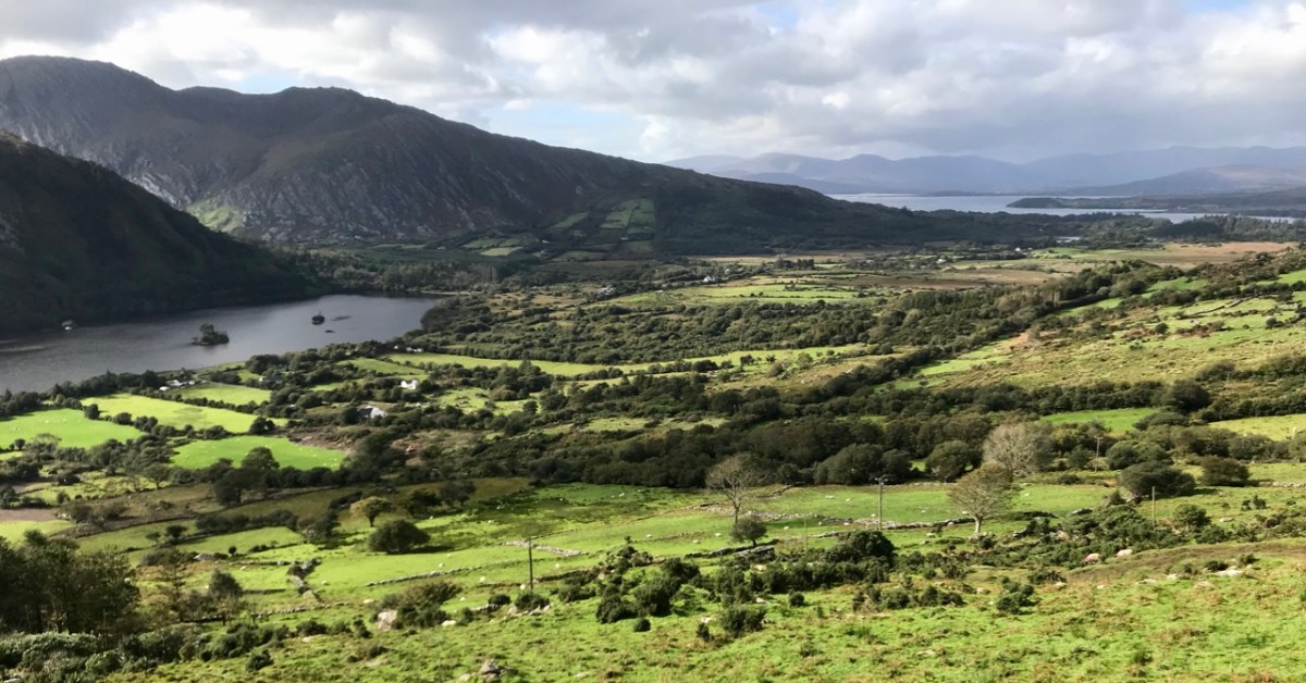
The red house at the bottom right marks our starting off point. In the distance is Bantry Bay and Whiddy Island
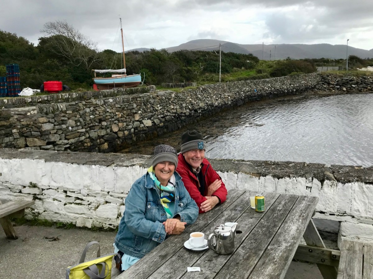
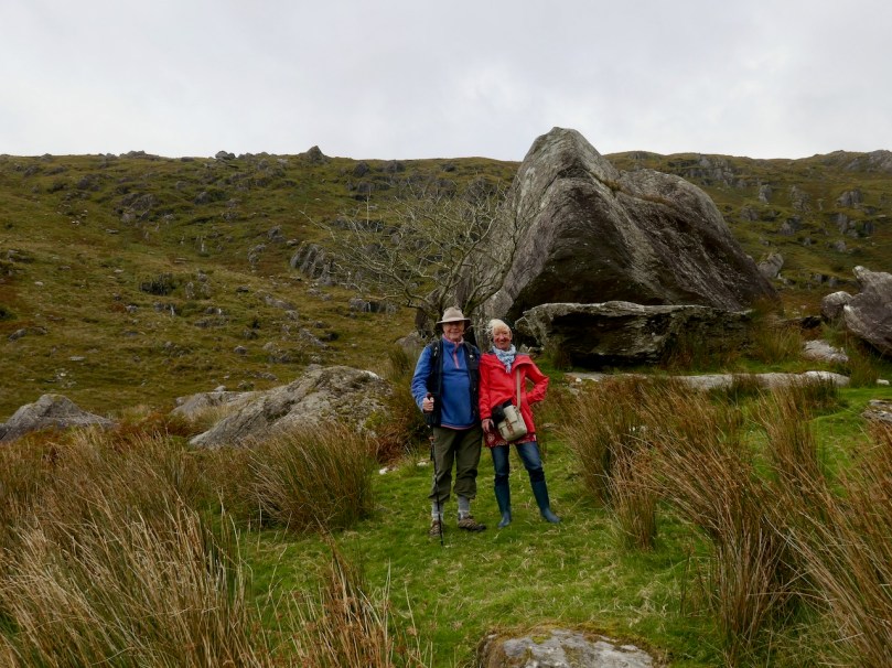
We took the walk in the company of our favourite travelling companions, Peter (of the Hikelines Blog) and Amanda (Holy Wells of Cork and Kerry). We had been missing them badly as they had been in New Zealand when the pandemic struck, unable to get home for six months. It felt really good to be out and about with them again.
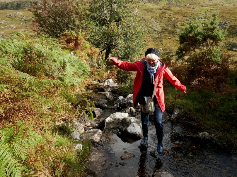
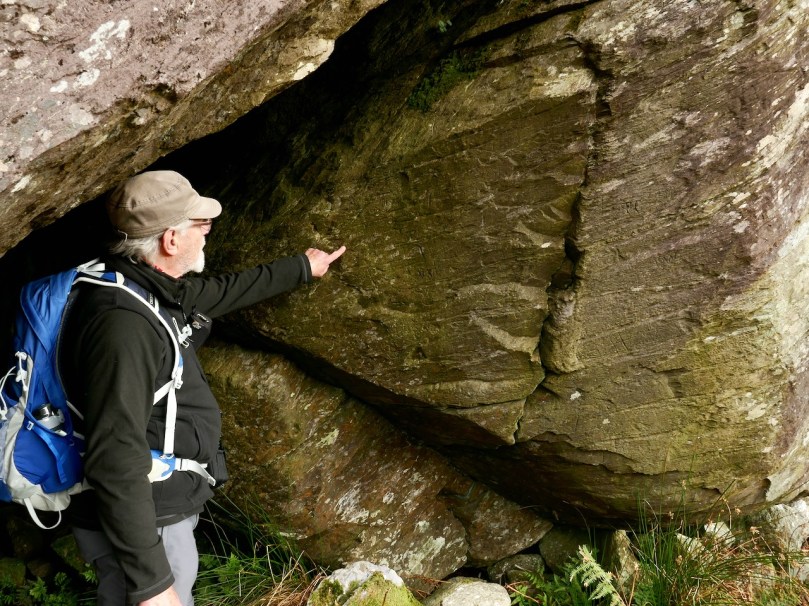
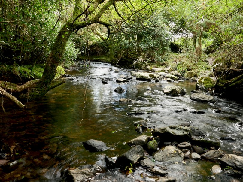
Amanda fords one of the many streams (it was a wet walk!) and Peter points out some of the scribings in the Bealick
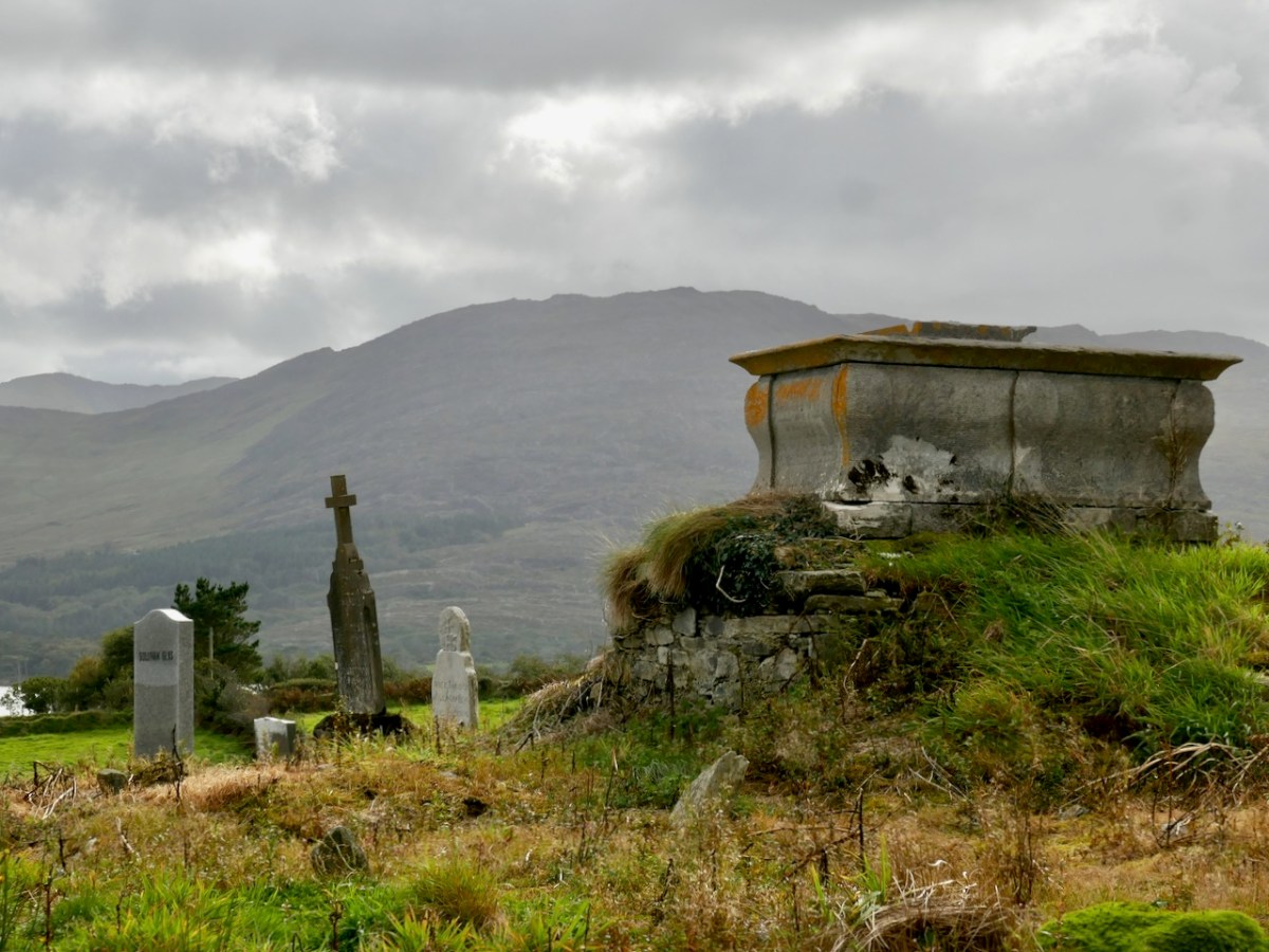
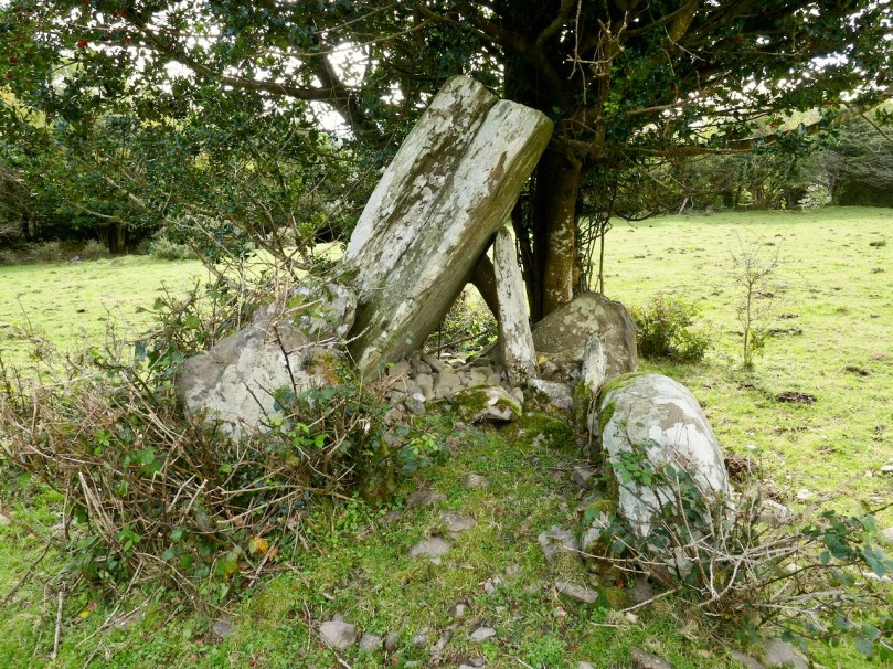
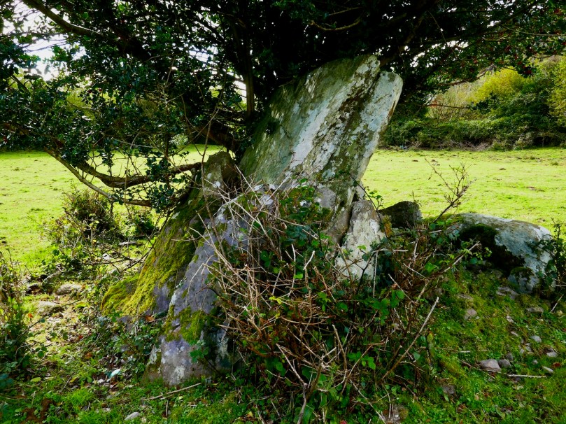
Apart from the jaw-dropping scenery and the sheer pleasure of a hike into a relatively untouched valley, this time I found myself drawn to the evidence of occupation over time, starting in the Bronze Age. At the entrance to the valley and right beside a ford across the river stands what is described in the National Monuments inventory as a ‘Megalithic Structure. . .the exact nature of which is unknown.”
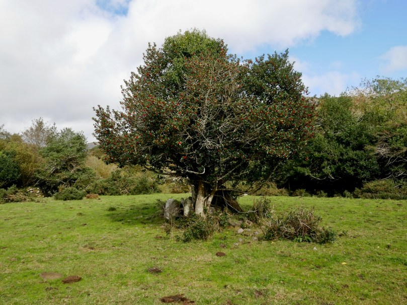
It’s in the middle of a small clearing, with a Hawthorn tree growing out of it – altogether a magical sight. It could be what remains of a wedge tomb – see my post Wedge Tombs: Last of the Megaliths to learn more about this type of monument.
I wondered how ancient the ford might be. For most of the length of the Cooleenlemane River as it runs down the valley it is easy to cross with the help of a stone or two, but in this spot it widens. Although no longer in use now, this type of crossing place is often of considerable antiquity – indeed one of the most common place names in Ireland contain the word áth (pronounced awe) which means ‘ford.’
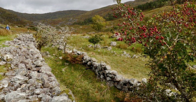
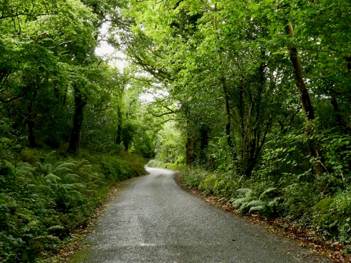
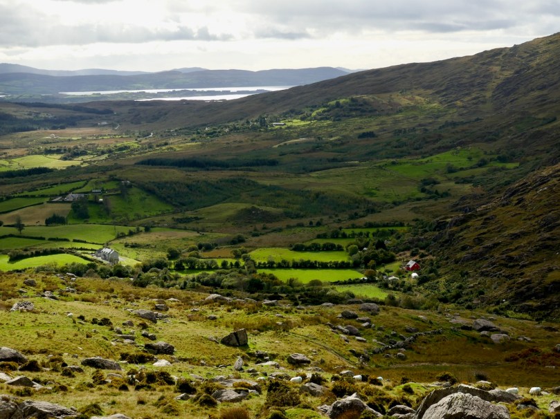
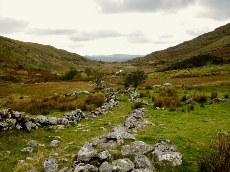
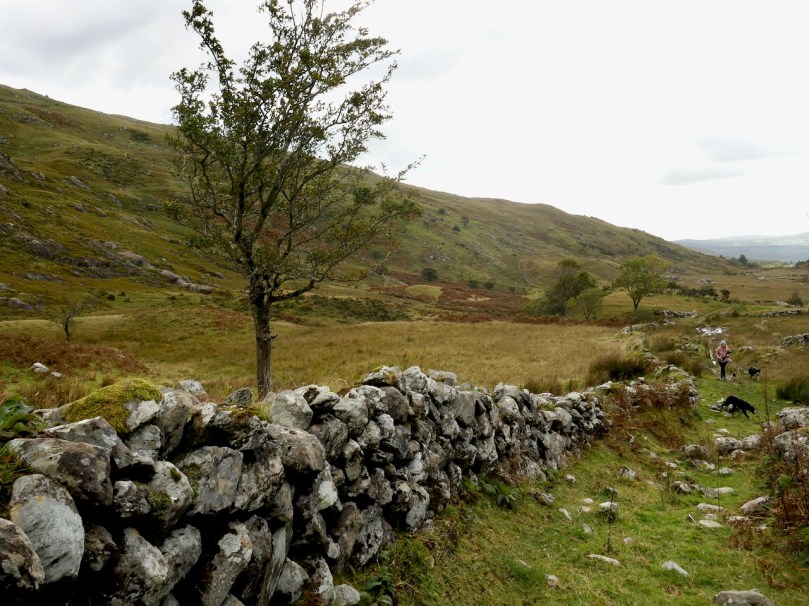
Leaving the megalith, we followed the course of the stream up the valley, mostly trying to select higher and slightly dryer ground, and trying not to get too distracted by the oh-so-photographical scenery all around us. Ruins of small stone cottages dotted the landscape, and a tiny cart track runs the length of the valley almost to the Bealick.

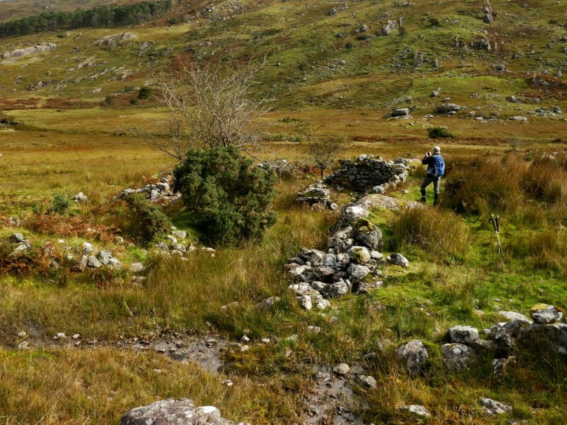
The National Monuments inventory also lists a cashel, two enclosures, and two hut sites in the valley. We passed the Cashel half way between Furze Hill and the Bealick, although we actually obtained the best views of it from the Priests Leap Road afterwards.
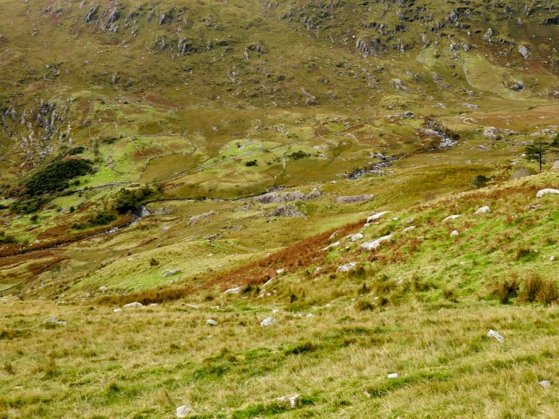
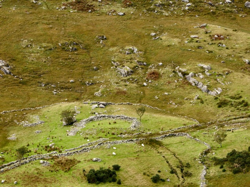
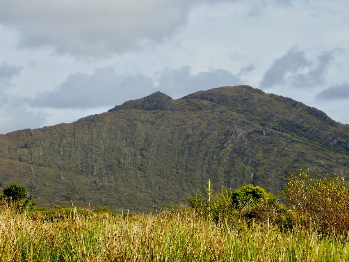
The upper photograph shows Furze Hill, the dark patch on the left, and the Bealick just above the bend in the river. The cashel is half way between them. The lower photograph is a closer look at the cashel
Cashels are ring forts made of stone rather than earthen banks. They are considered to be the farmhouse enclosures of high-status individuals (you can see an exceptionally good example at Knockdrum – see Robert’s post Knockdrum Stone Fort to understand how they functioned). This one is clear but very ruined, circular in plan, about 17m across.

It probably dates either to the late Iron Age or the Early Medieval Period – anywhere in the first millennium AD. Like other cashels, it has clear sight-lines down the valley and was built to be visible and a statement of status and power.


We didn’t hike up to the enclosures or hut sites further up the valley – a walk for another day. I think Peter (above) is already plotting his course up there. The most southerly of the enclosures sounds interesting, with an entrance marked by upright stones and a levelled interior. There is no way of knowing how old these are, of course, but taken with the megalithic structure and the cashel, they do indicate that this valley has been lived in and worked for thousands of years.

And then there’s the Bealick itself – the three ‘caves’ formed by massive rocks leaning against each other, two of which contain the rock scribings. In the way of such unique places they become special features of the landscape and take on a mantle of history. In this case, the Bealick was a Mass Rock, a home, a sheep-shelter, and a mysterious repository of enigmatic markings.
On our walk yesterday we became aware that we were not the only ones in the valley. Along came Mary, with four very well-behaved dogs, on the look-out, she told us, for her brother’s cattle.


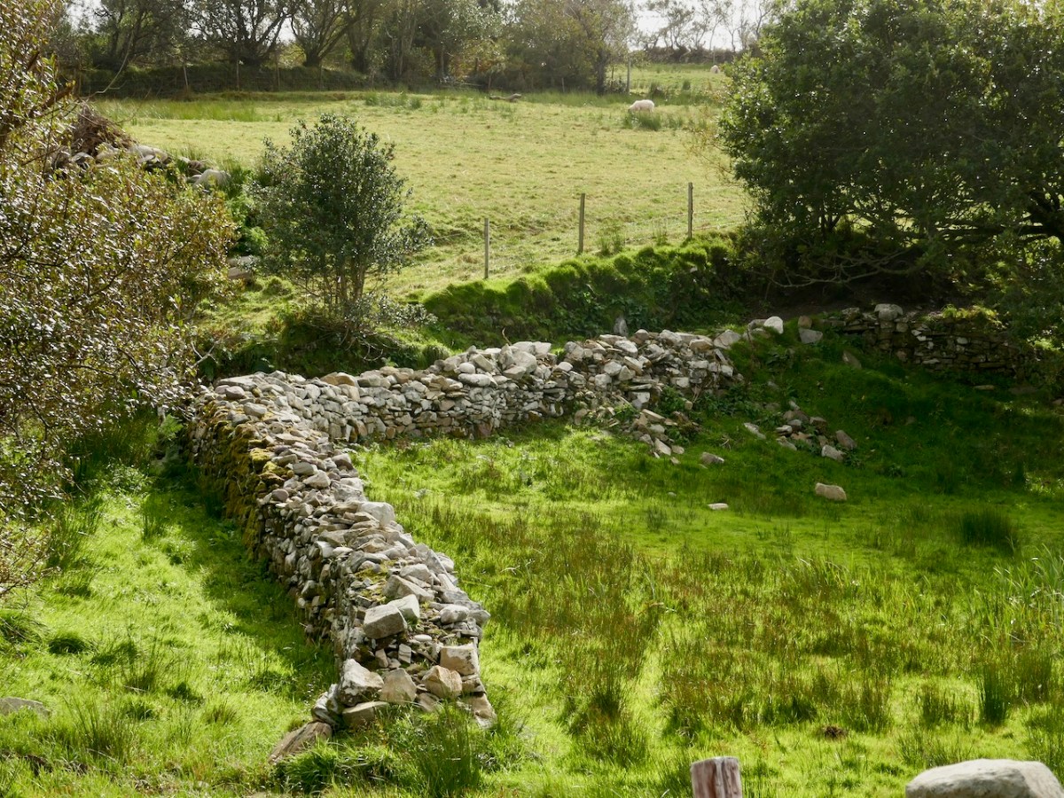
From the top: a field enclosed with stone walls runs up the steep slope; lazy beds in an old field; a ruined cottage surrounded by tiny haggards (a haggard is a small enclosure beside a house)
She explained that the land was commonage and that it hadn’t been lived in, in living memory – probably abandoned not long after the Famine, she thought. She pointed out locations of what she called ‘cowlocks’ or small homestead here and there, with their associated potato patches recognisable by the lazy bed ridges still visible in the small fields. She told us the prominent knoll we had passed was called Furze Hill.


She pointed to a cliff above the Bealick (both images above) and named it as `Carrignasprogue’. A direct transliteration from Irish, this is Carraig na Spioróg, or Rock of the Sparrowhawks. It’s a particularly dangerous place for sheep, she said, as they tend to get trapped at the bottom of the sheer part and have to be rescued. Every field, every bend on the river and every prominent rock would have had its own name, enabling those who lived in the valley to know exactly what part was being referred to.


Nowadays, several families share the valley, grazing sheep and cattle in it and for the most part leaving them to their own devices. The grazing has kept the valley relatively clear – we saw little evidence of overgrowth of gorse or bracken and none of the rhododendron invasions that plague the Killarney National Park not so far away. One hesitates to use the word pristine nowadays, but the sense I have is of a remote place that hasn’t changed much in hundreds of years. Long may it remain so.
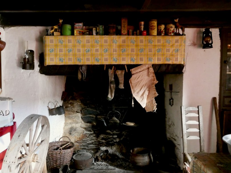
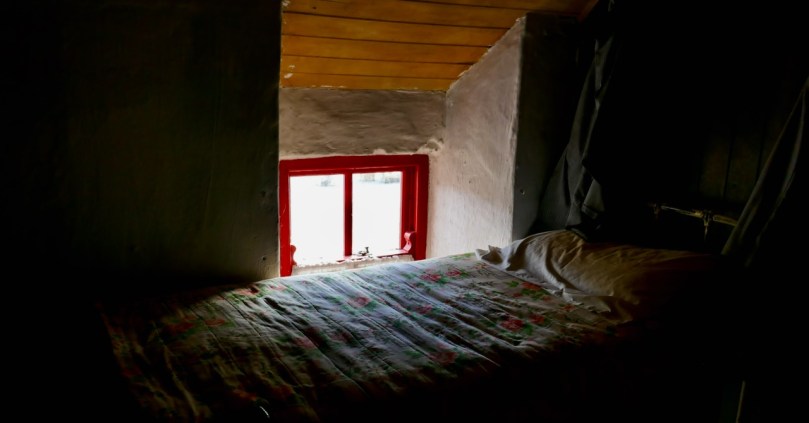
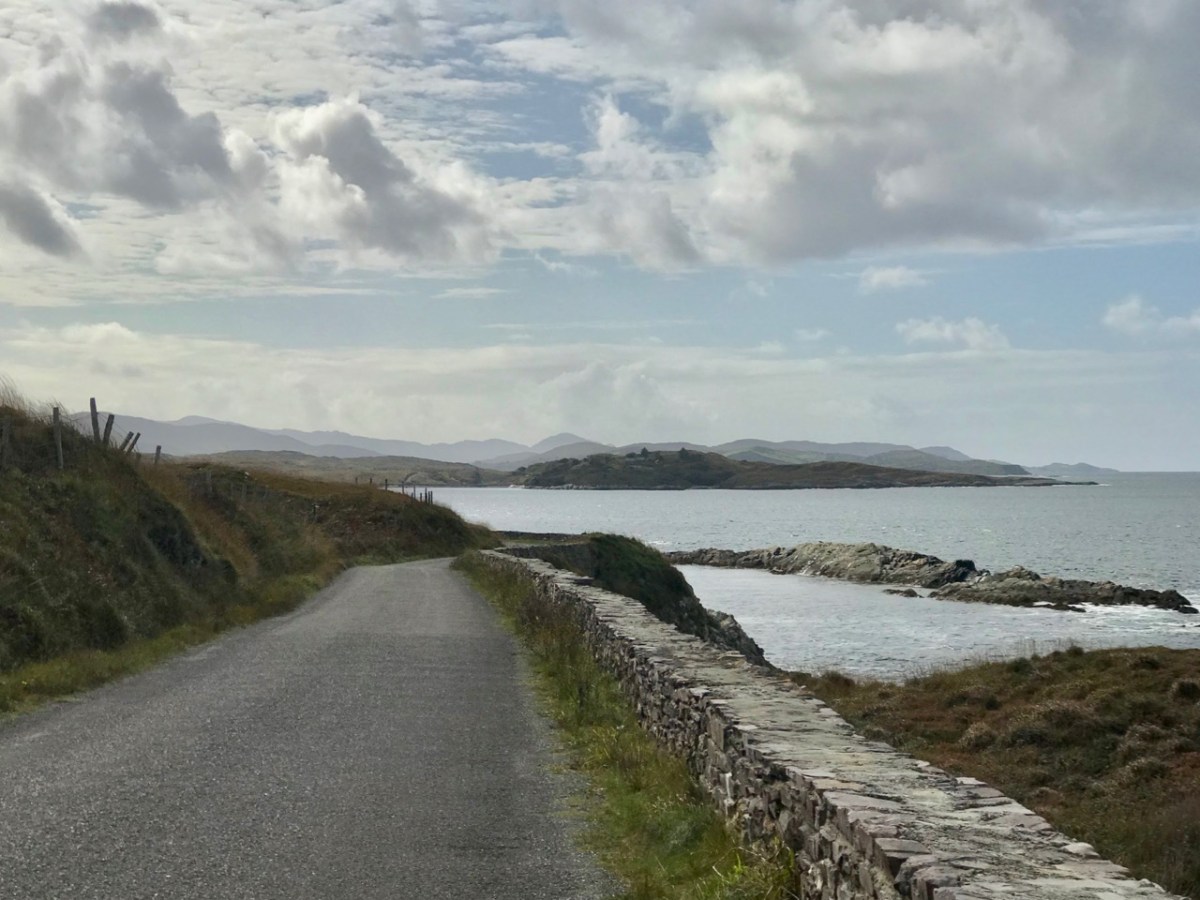
We drove home a circuitous route, up over the Priests Leap Road into Kerry and back over the Caha Pass into Cork. We were delighted to find Molly Gallivan’s open and serving tea and scones. There’s a tiny cottage attached, reconstructed in the style of the traditional Irish farmhouse and I was especially struck by this bedroom – it could have been in one of those tiny Cowlocks we passed by in the valley earlier.