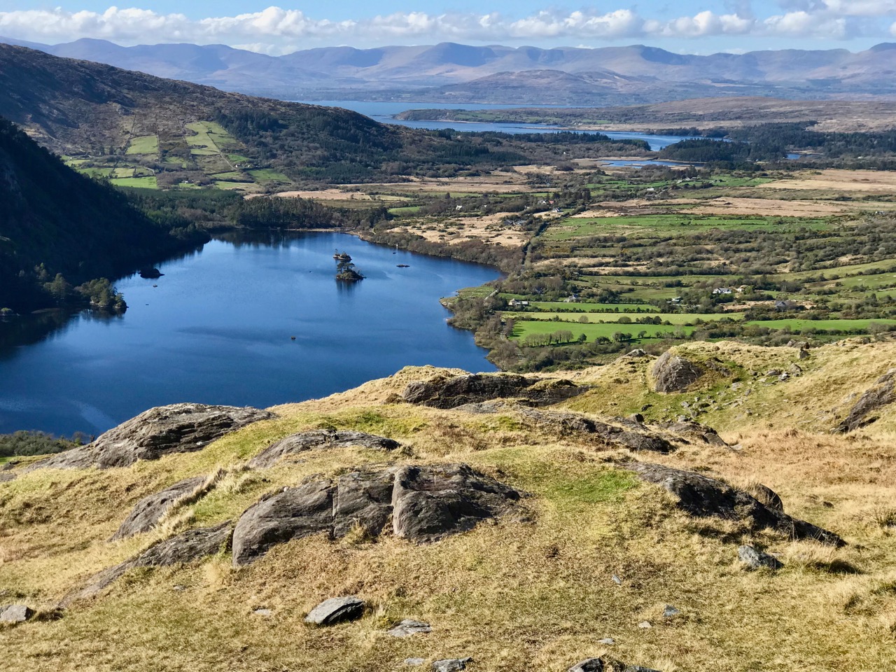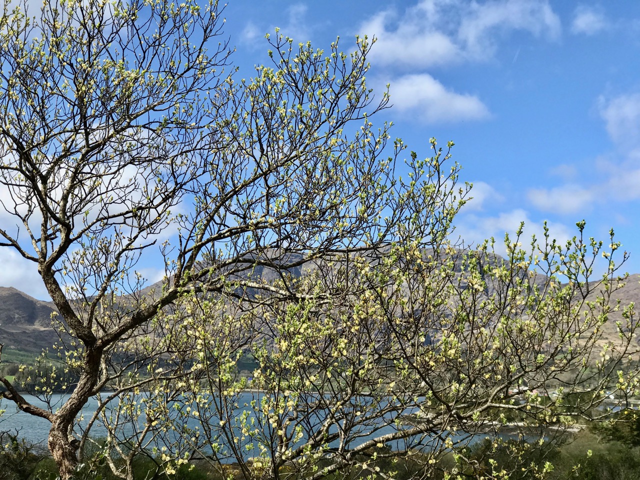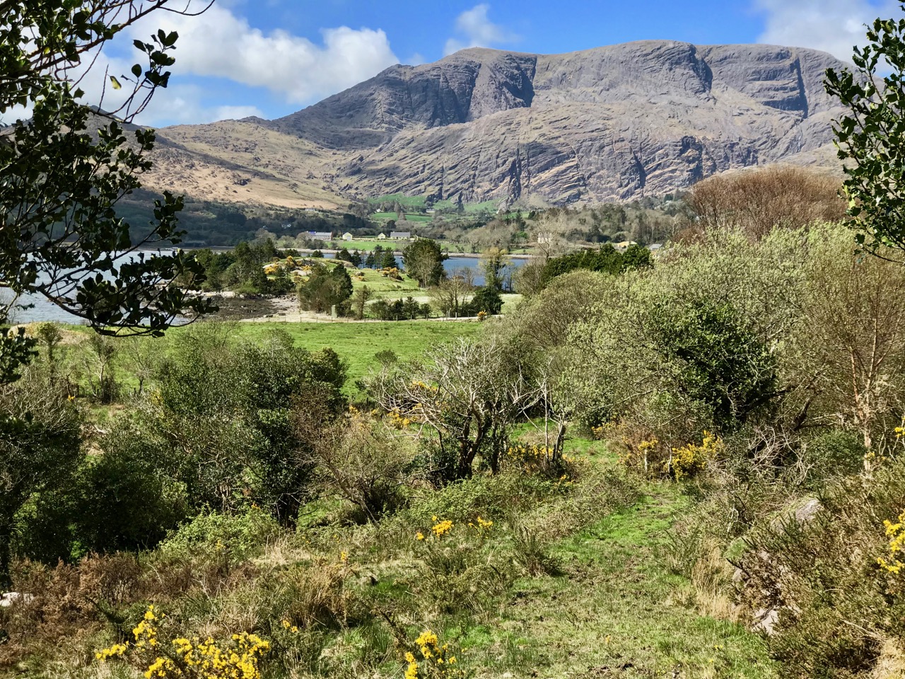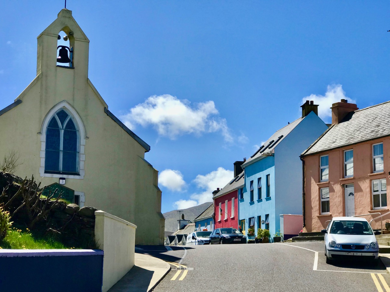
Northside of the Beara

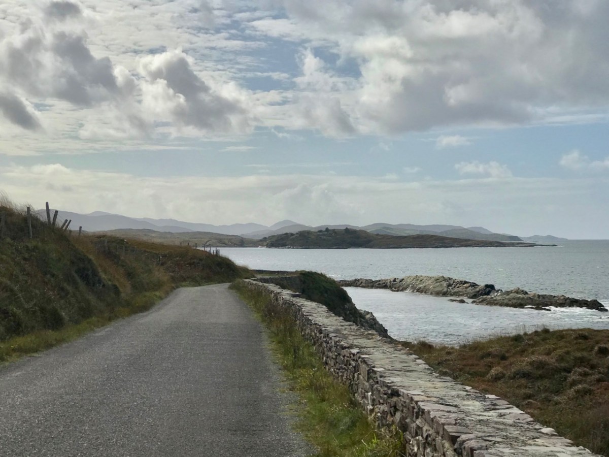
We have written previous posts in praise of the remarkable narrow, remote, and rarely explored byways or boreens that serve the north coasts of our own peninsula – the Mizen – and our neighbour – the Sheep’s Head. Driving them can be an exhilarating and, at times (particularly when you meet something coming the other way!), harrowing experience although always worthwhile because of the unparalleled land- and sea-scapes which are revealed at every turn.

A view from the boreen that skirts the Northside of our own Mizen Peninsula

This week, however, we set out to explore a little corner of our land which we have, until now, neglected: the Northside of the Beara. Not too far away from us, the Beara Peninsula extends from West Cork into County Kerry and draws us like a magnet because of its dramatic scenery and inherent beauty in all weathers. Have a look at this post, for an overview of how sublime it is.

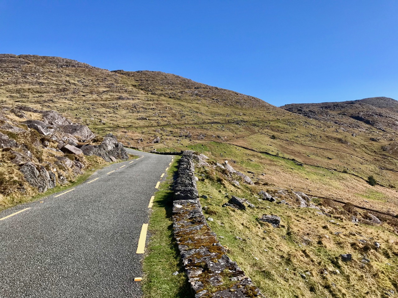
Looking towards the Northside: our route takes us through the Healy Pass and over the mountains

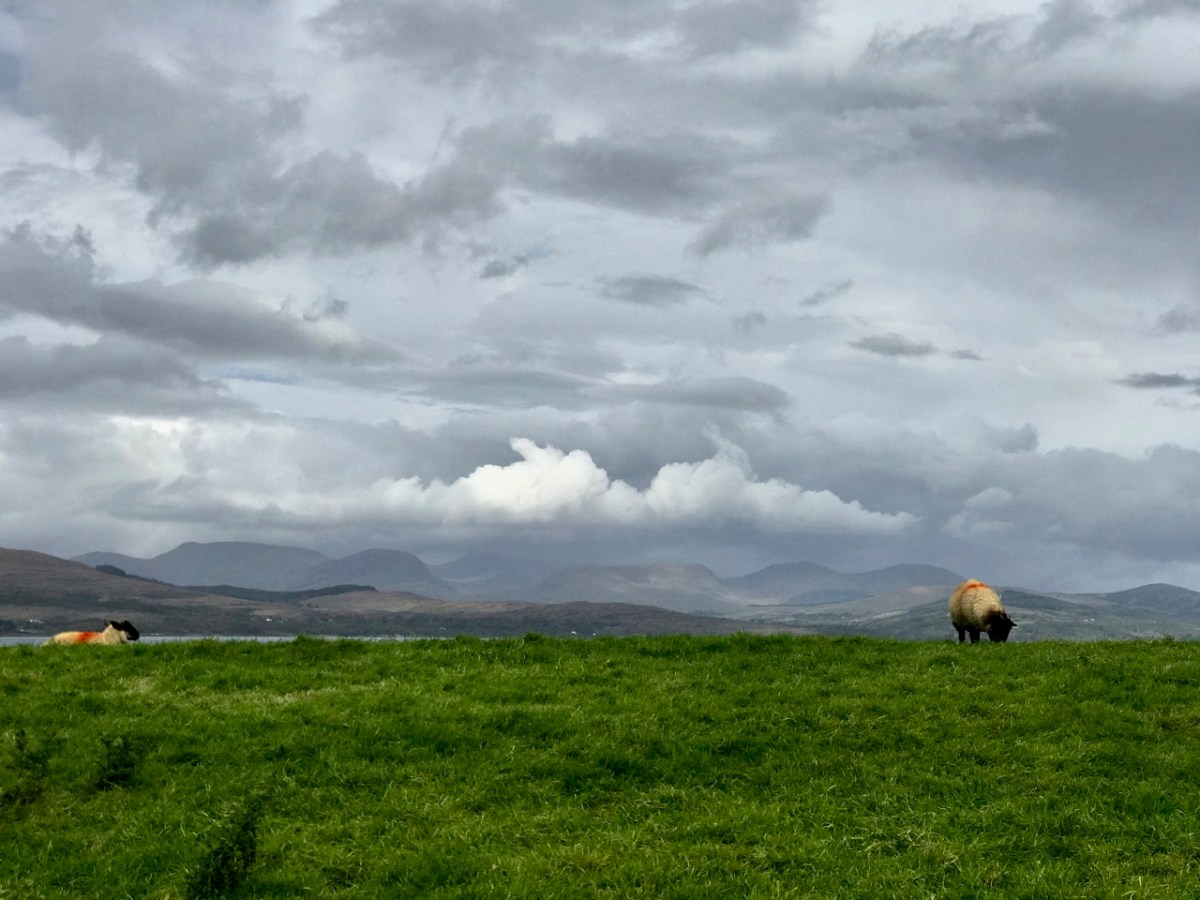
We headed out on the last day of September and were treated to a day of changing skies and theatrical light effects – the header picture, showing sheep on the Beara Northside, gives an example of the cloud atmospherics over the distant Ring of Kerry. We wanted to explore a corner which could easily be by-passed if you were travelling on the most direct routes through the peninsula.
Our first port of call took in the lakes at Cloonee. Finola was on the lookout for a very rare wildflower which has been seen around the shores but, after diligent searching, we concluded that we were too late in the season: we will have to return next year. That’s no hardship, of course.

Clonee Lakes – dramatic reflections and blue boats at rest

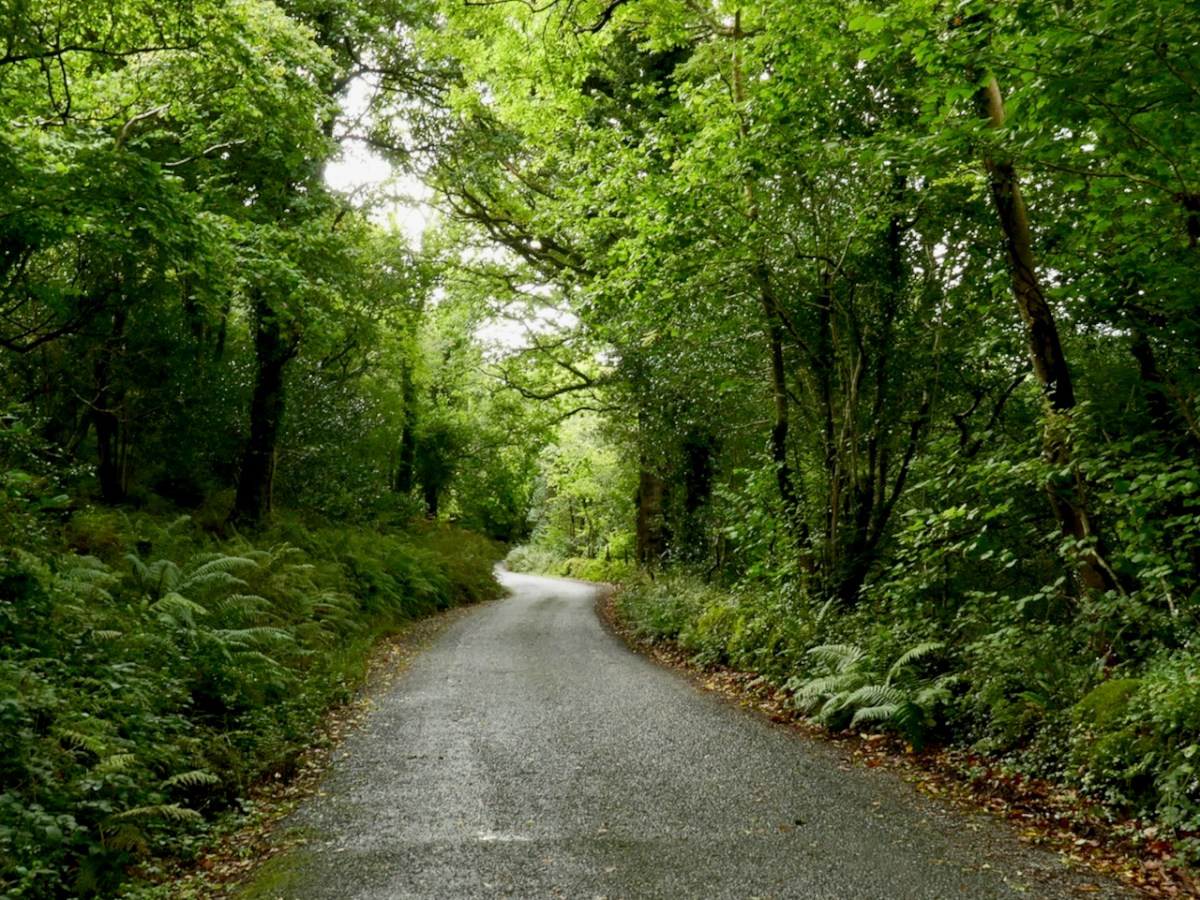
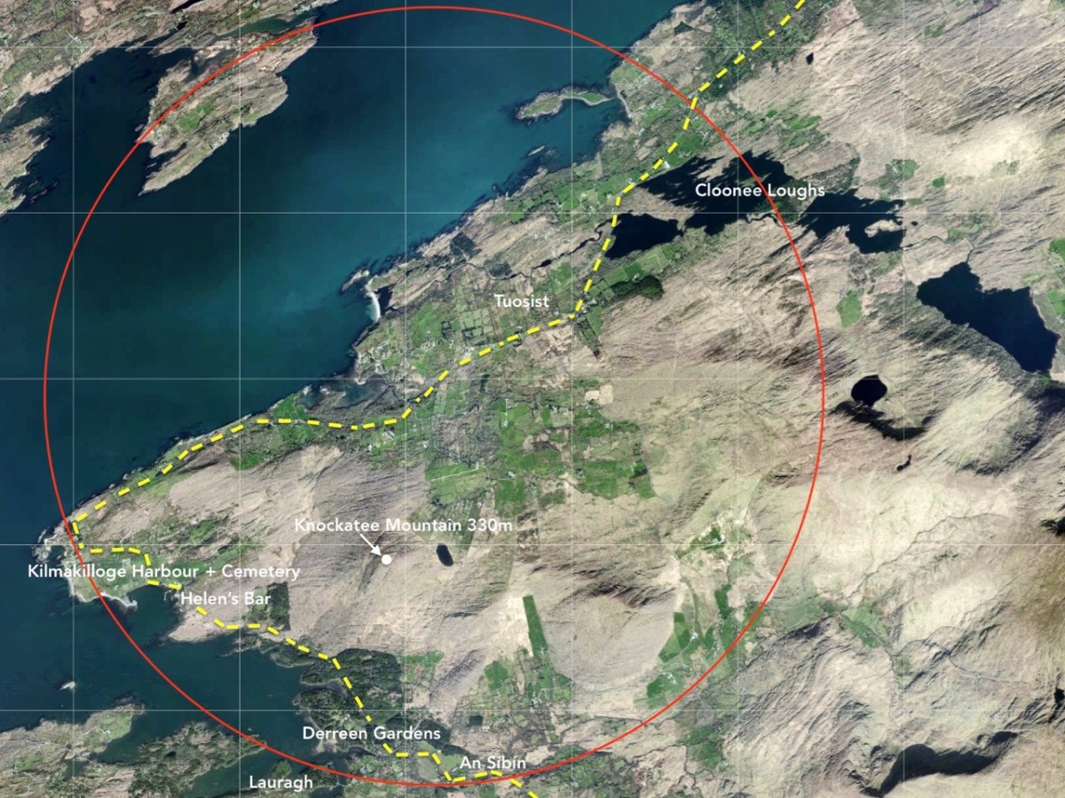
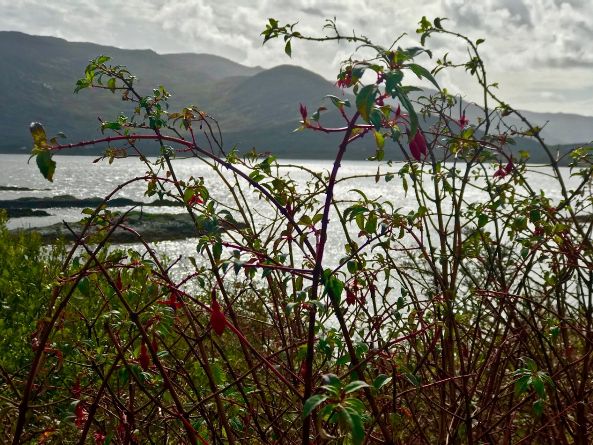
As you can see from the route map above, the terrain all around is wild and rugged. After the little settlement of Tousist the road runs mainly close to the coast and offers constant changes and contrasts. The wide panoramas across Kenmare Bay give way to small stony fields, some guarded from the prevailing weather by heavy-duty walls, then occasionally diving inland to briefly present an unexpected tree tunnel or tumbling stream. Always, the road is not far from an indented shoreline unpredictable in its many twists and turns.

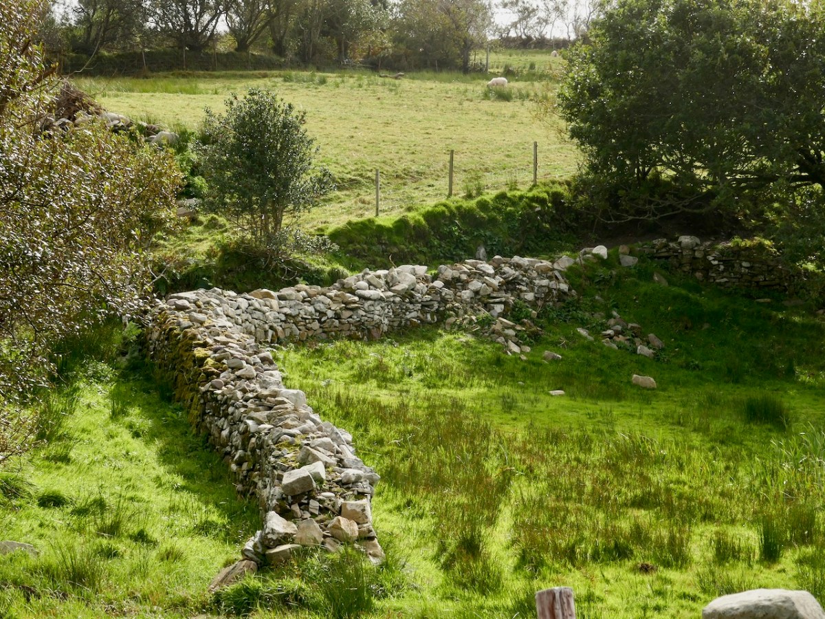
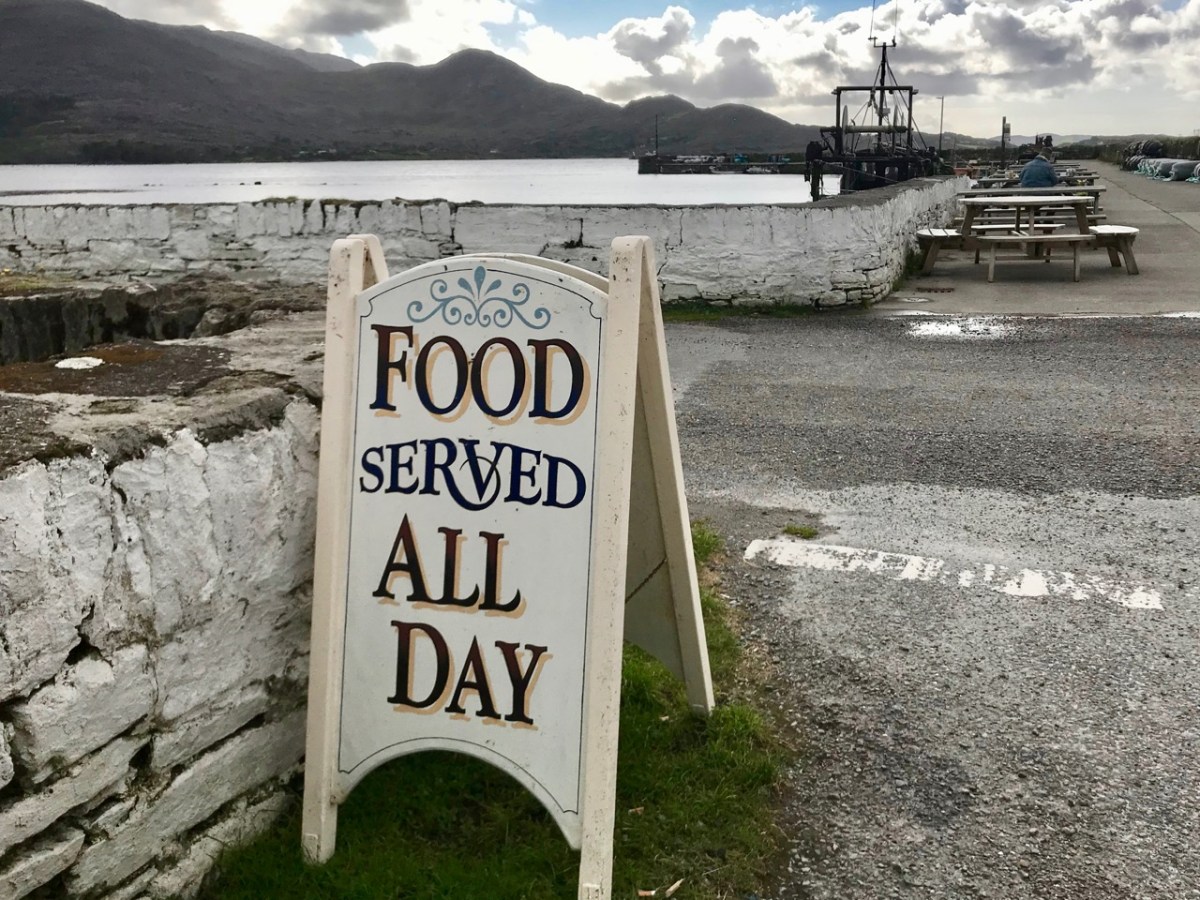
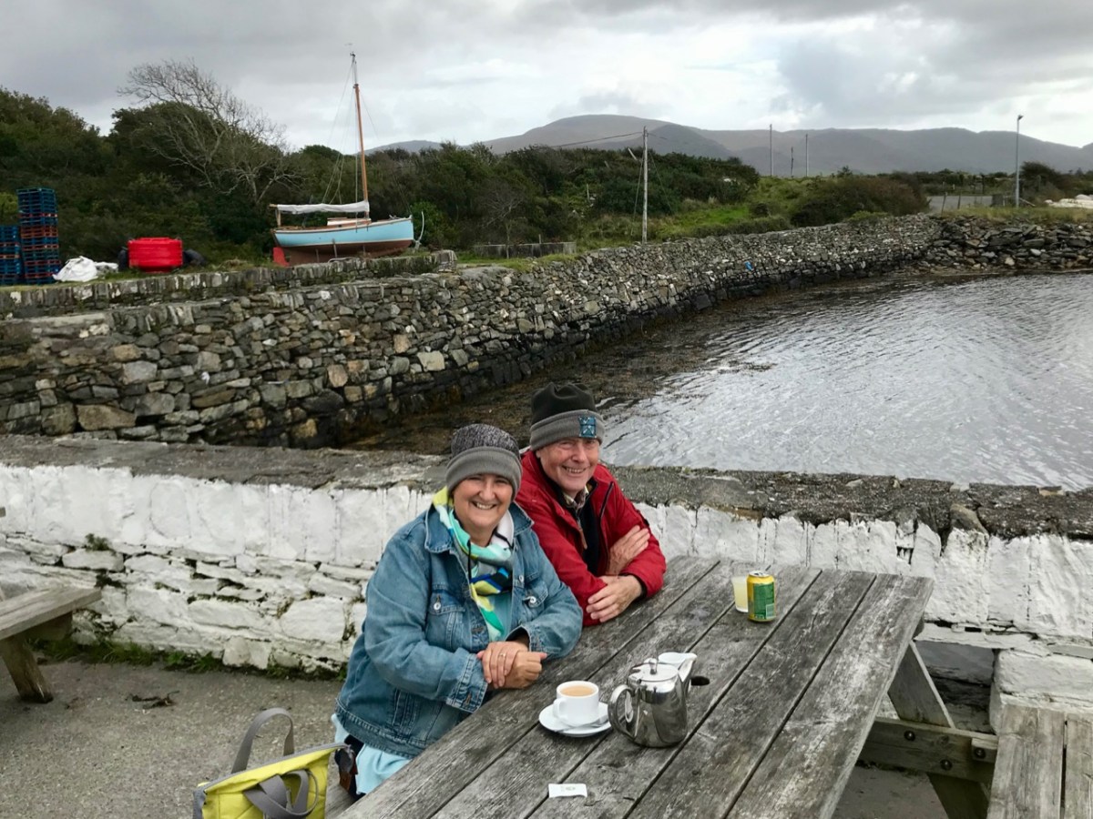
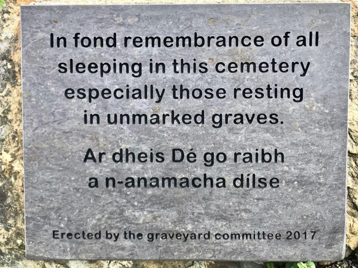
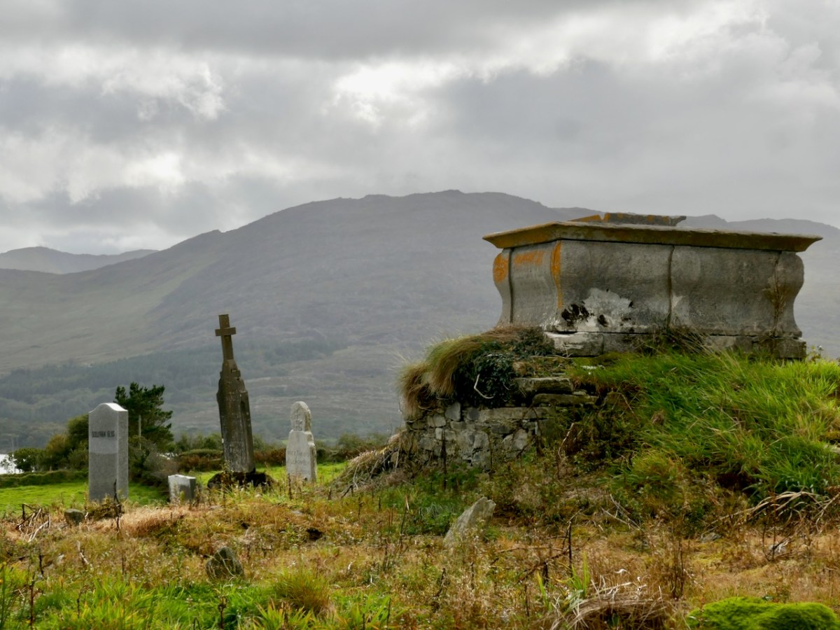
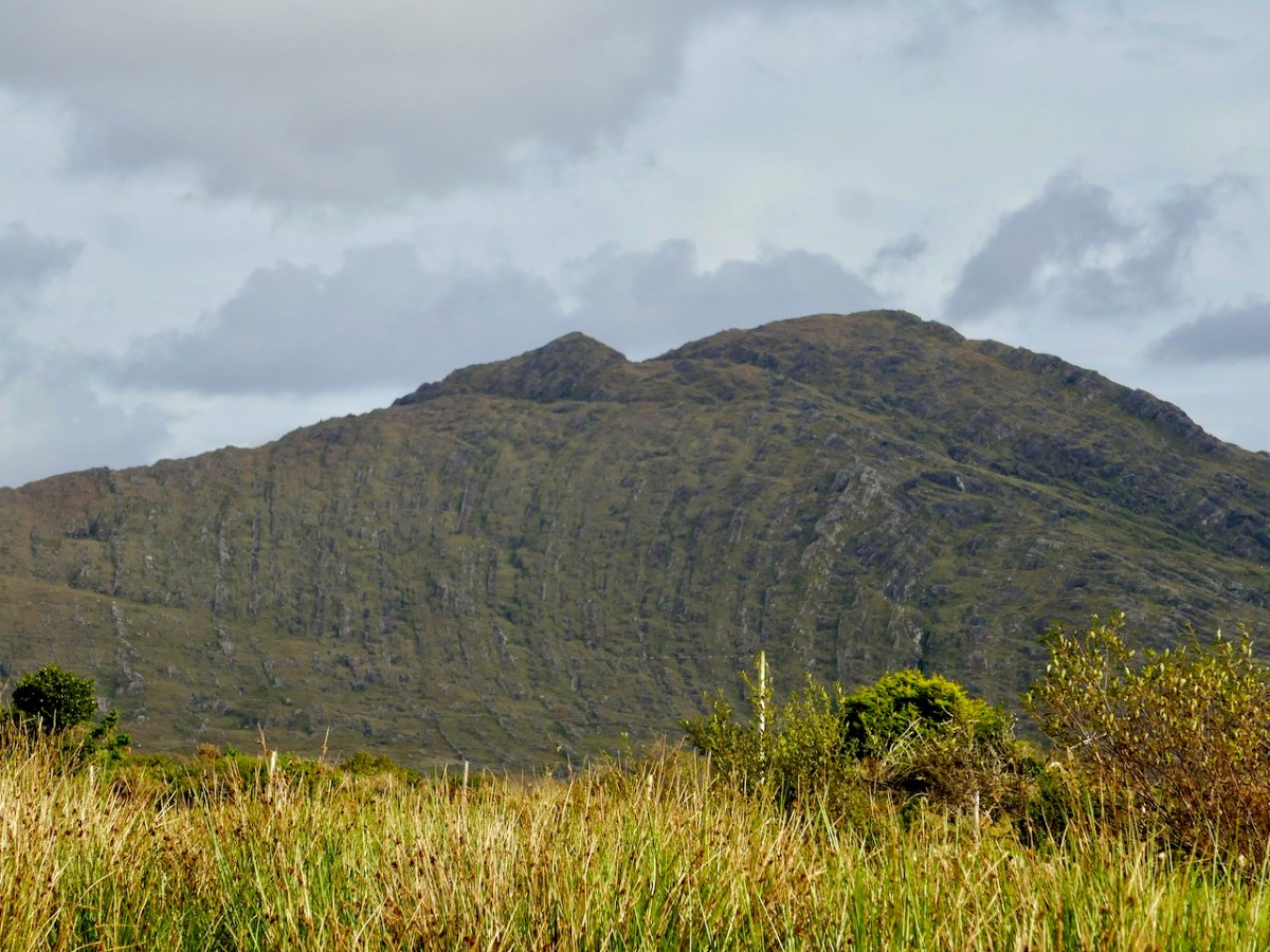
The edge of the land – in this part of the Beara at least – is more heavily populated than the Mizen or Sheep’s Head Northsides. The small townland of Kilmakilloge, in particular, offers a substantial harbour, a bar and cafe ‘serving food all day’ (Helen’s Bar), a large cemetery in which it is possible to glean the part played by this little settlement in the whole history of Ireland, and the slopes of a geological wonder – the 330 metre high Knockatee Mountain. Described as ‘…a small hill with a massive view…’, this green-grey sandstone and purple siltstone mass is a spectacular backdrop to the burial ground: we didn’t climb it on our day out but it is evidently well worth it for the vistas it provides! Another good reason for us to revisit the area.

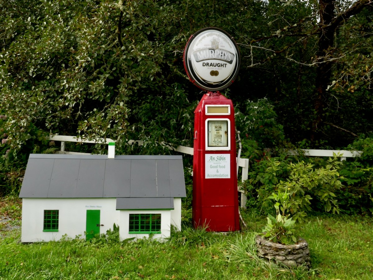
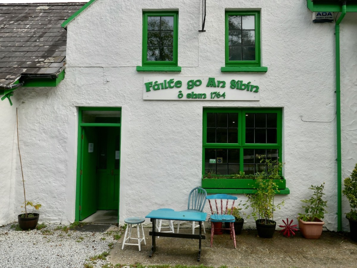
Approaching Derreen Gardens (you’ll find it described in this post), our excursion is close to the finishing line. The Beara is well supplied with hostelries, which seem to be surviving in spite of the Covid-19 difficulties, and one you shouldn’t miss is An Síbín, near Lauragh. I’m always amused by the old petrol pump there, which looks as though it should provide you with a fill-up of Murphy’s Draught! This is also the point where you have to decide which way to return home. In our case it was back over the beautiful Healy Pass: who wouldn’t want to look out again over those amazing views in all directions?
Friendly sheep have the right of way as we traverse the hairpins on the Healy Pass, heading back to the Mizen

It’s an easy day out for us – and we certainly can’t get enough of the Beara! If you have the chance, explore the Beara Northside yourselves!
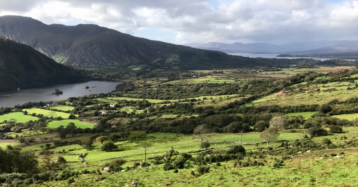
Drawn to the Beara

The spectacular landscapes of the Beara Peninsula draw us again and again: have a look at some of our past explorations here and here. There’s no doubt that for fine, distant views, tranquil coastlines and variety in geology, history and archaeology this part of Ireland takes some beating. And, for us, it’s ideal: near enough that we can have a full day out absorbing all these things, yet still being home in time for tea!

This is the weekend when clocks ‘spring forward’ – giving us longer evenings. But also the sun is getting noticeably stronger, colours are getting more intense, and the shadows are hardening. It’s a great time to be out on our travels.

That’s Hungry Hill above – highest peak in the Caha Mountain range, Co Cork – and the background setting for Daphne du Maurier’s 1943 novel of that name. The story is based on the real-life Puxley family who set up and ran Allihies copper mines in the first half of the nineteenth century. Du Maurier weaves the tale to give the name of the hill a symbolic meaning – the mines ‘swallow up’ the lives of those who work them and the plot is charged with tragedy and unhappiness.

We crossed the peninsula on the Healy Pass, one of Ireland’s great road journeys, with breathtaking views towards Bantry Bay in the south and the Kenmare River to the north as you traverse the 334 metre summit. The road, known in Irish as Bealach Scairte, was originally cut as a nineteenth century famine relief project, and improved in the 1930s, when it was named in honour of Tim Michael Healy, a Cork man who served as the first governor general of the Irish Free State.

We had a mission: to visit Dereen Garden, which is open all year round. We were there before the tourist season got going, and we mainly had the beautiful walks and vistas to ourselves. The woodland garden was laid out 150 years ago with sub-tropical plants from around the world and has been improved and added to since then; it is famous for its huge Arboreum rhododendrons. Evidently there is a variety of wildlife to be seen, including red squirrels, sitka deer and hares, but they were all keeping out of the way when we visited.

We were hoping to sample some of the fine eateries which have been set up on the Beara but, again, we were a little too early in the year: an excuse for another trip when they open up. So we reluctantly turned our way back towards the Healy Pass – to get the views from the other direction – and were stopped in our tracks by a sign pointing to ‘stone circles’. This is in a townland named Cashelkeelty and is near Lauragh, Co Kerry. Finola had a look at her archaeological records on the phone and found it was somewhere we had to go! It involved a long, uphill walk through a forest, but was very well worth it. Read Finola’s post to find all the details.

I will show only one picture as a taster (above) – but also to point out the proximity of the high grade overhead powerline which runs right by the ancient stones. Does it add or detract from the monument itself?

There were many more vistas to be taken in on our few hours spent on this dramatic peninsula, where mountains so spectacularly meet the sea. We can never tire of this, our own little part of the world.

Sun’s Out!

On one April day after a bleak, harsh winter that had gales, hurricanes, blizzards and unceasing bitter east winds thrown at us – the sun came out! We were out too, and headed up to the Beara Peninsula to see if we could remember what sun-soaked landscapes felt like… They felt great!

Header – the glories of Cork and Kerry combine on the spectacular Beara; top photograph – finally, after a long,harsh winter, we see the spring blossoms appearing; middle – a wayside shrine on the road out from Glengariff; bottom – Hungry Hill dominates the views as we head west on the peninsula

You will remember our previous visits to the Beara: there are not enough superlatives for what it has to offer in the way of stunning scenery and colour. None of these photographs have been enhanced – what you see is exactly what we saw on the day – and it’s what you will see, too, if you choose aright (although even on dull days we always find plenty to interest us).

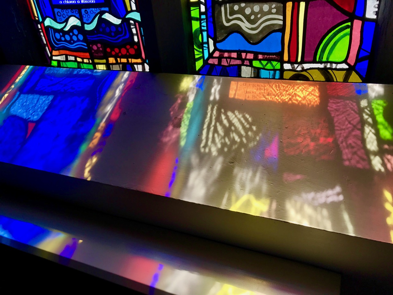
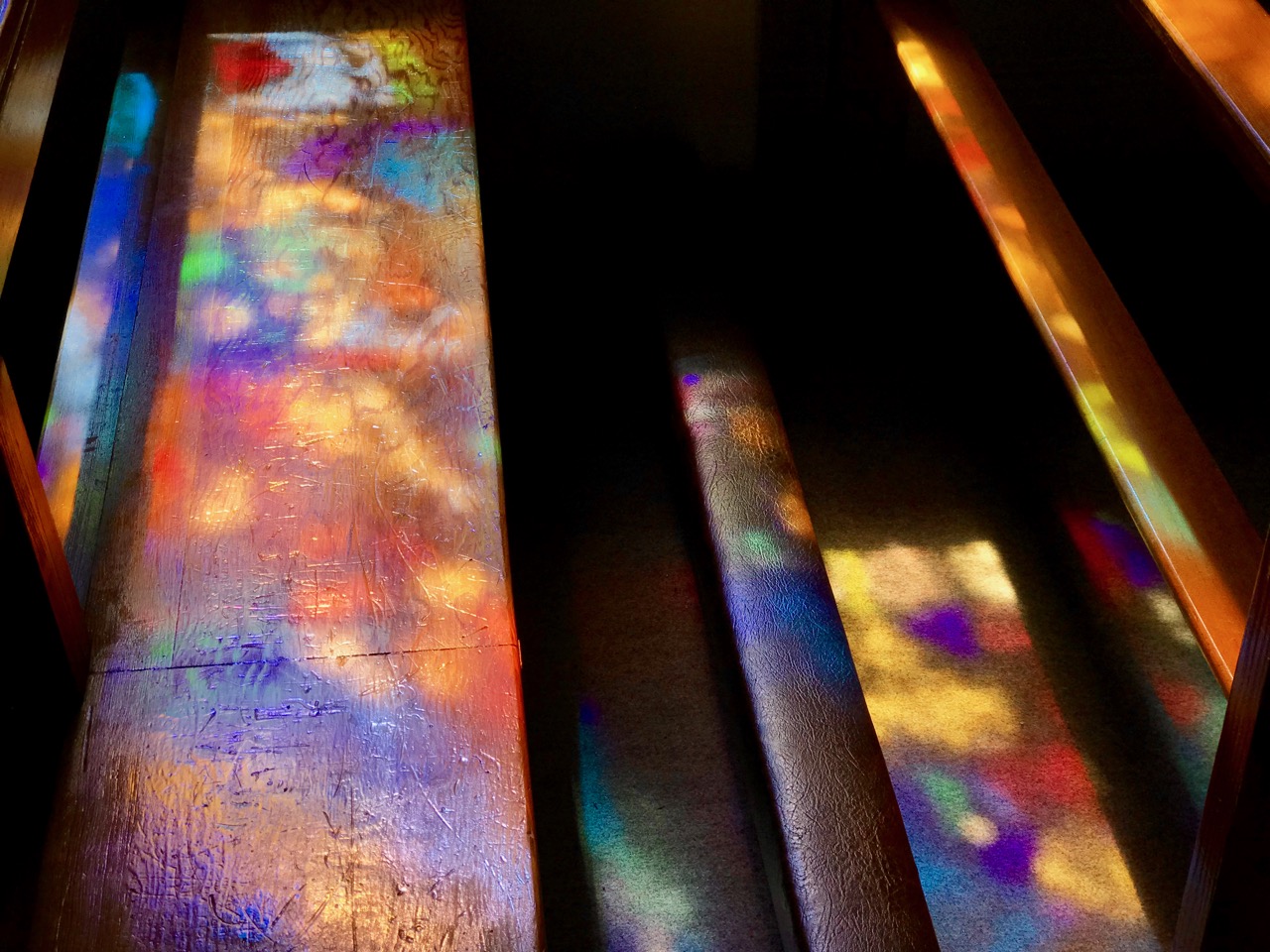
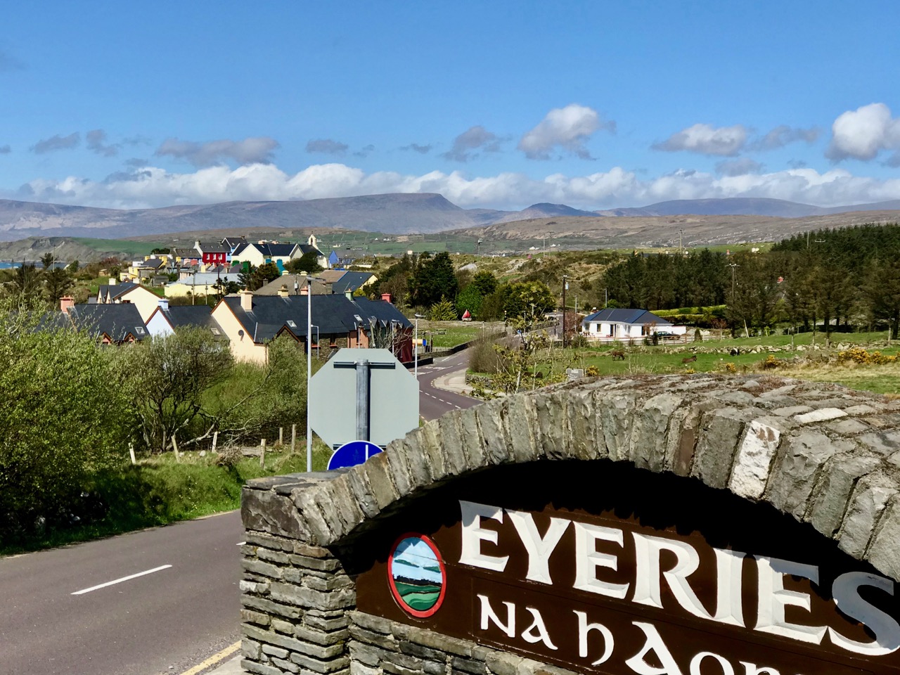
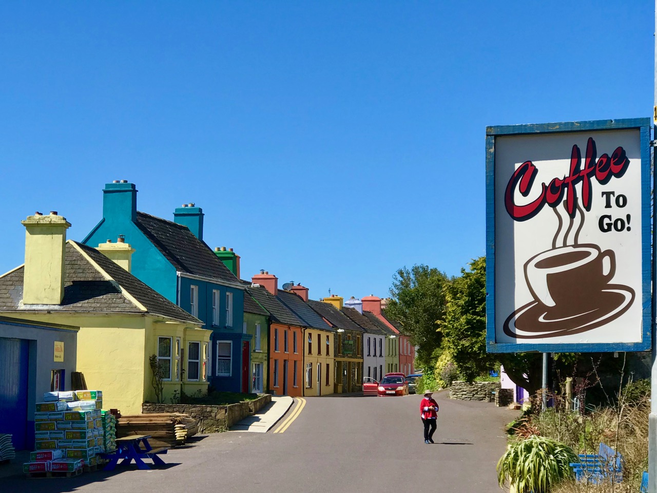
Top photograph – St Kentigern’s Church is in the centre of one of Ireland’s most colourful villages; middle – the sunlight plays games with the beautiful windows by glass artist George Walsh; bottom – light from the windows dances on the pews

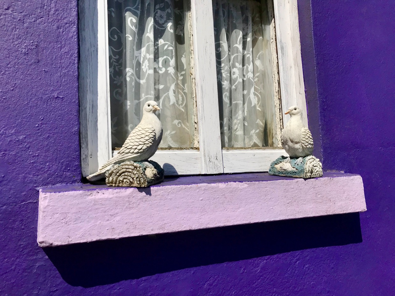
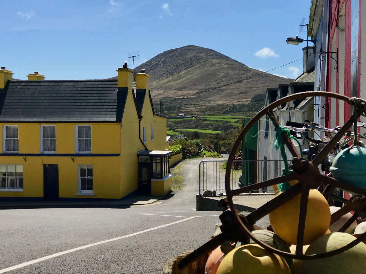
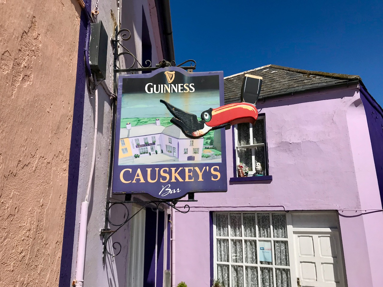
We knew where we were going: Finola was keen to revisit the little Catholic church of St Kentigern in Eyeries, which has a fine collection of windows by George Walsh: it’s a gem – and at its best for the quality of the light enhancing it on the day. I wanted to see the settlement itself in the early spring sunlight as it’s one of the most colourful places in the whole of Ireland! Neither of us was disappointed.

Just a taster of the treats in store in Eyeries: on a beautiful spring day there was hardly a soul around, but we were still able to find an ice cream in O’Sullivan’s!
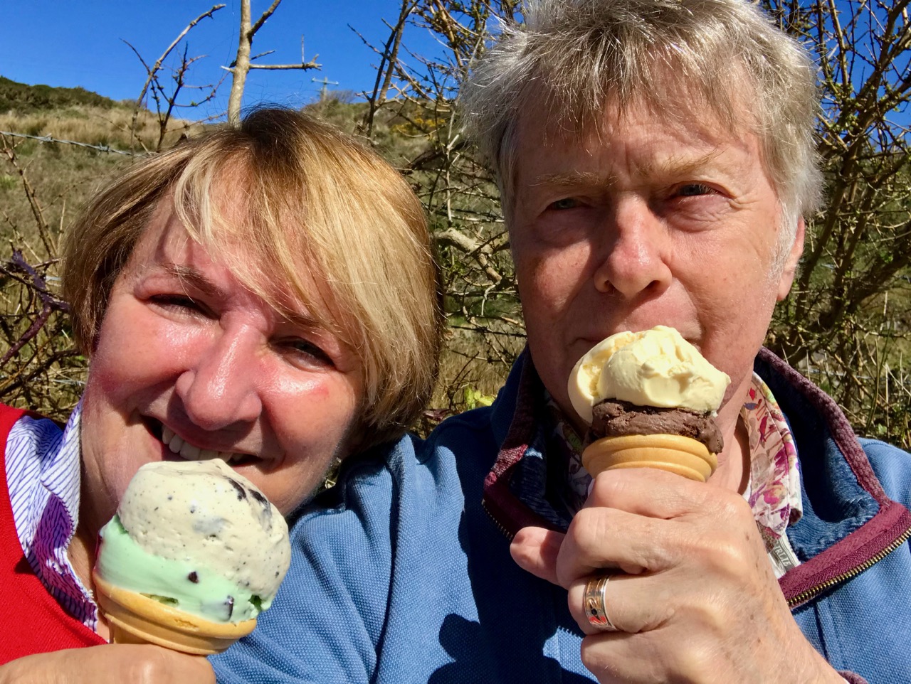
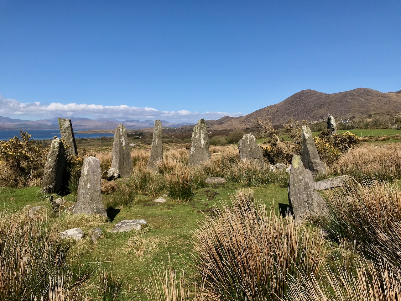
Our second objective was to travel into the hills and find Ardgroom Outward stone circle. The trail involves farm gates, stiles and a lot of mud – but the 9 stone circle (named locally ‘Canfea’) is a fine, almost intact monument with wide vistas to mountain and sea. The impressive outlier stone is 3.2m in height.

The magnificent Ardgroom Outward (or ‘Canfea’) stone circle is accessible via a marked, boggy path: the vistas from the site make the journey worthwhile. Finola is dwarfed by the huge outlier!
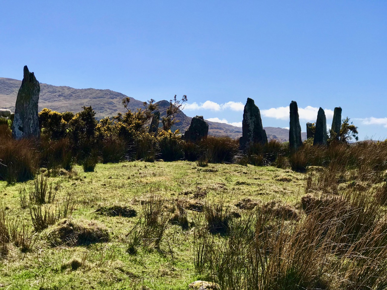
It’s barely a skip up to Eyeries from Nead an Iolair, so we had to carry on around the peninsula and take in the almost surreal views of oceans, lakes and mountains before dipping into Kerry and then heading over the top back into Cork county and down the Healy Pass – surely one of Ireland’s most spectacular road trips.

Returning home – with the evening sun setting gloriously over Roaringwater Bay – we reflected that there can’t be many places in the world where a single day can offer such a feast to satisfy all the senses.