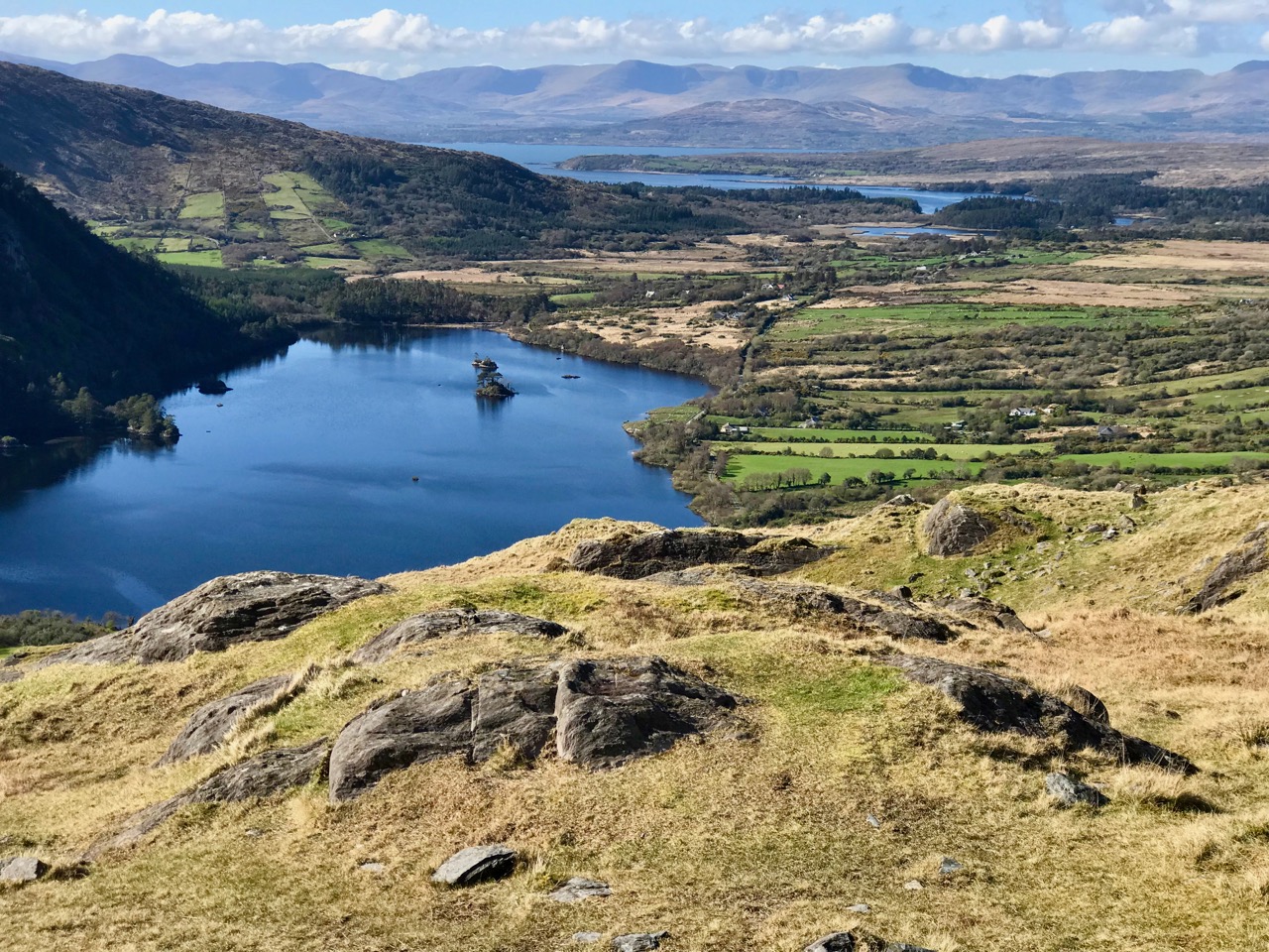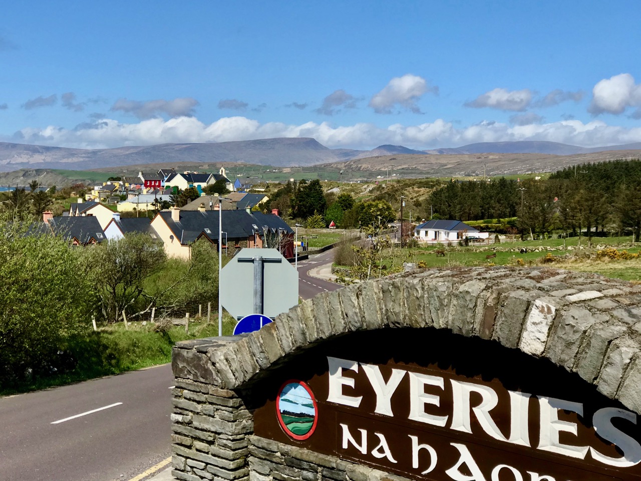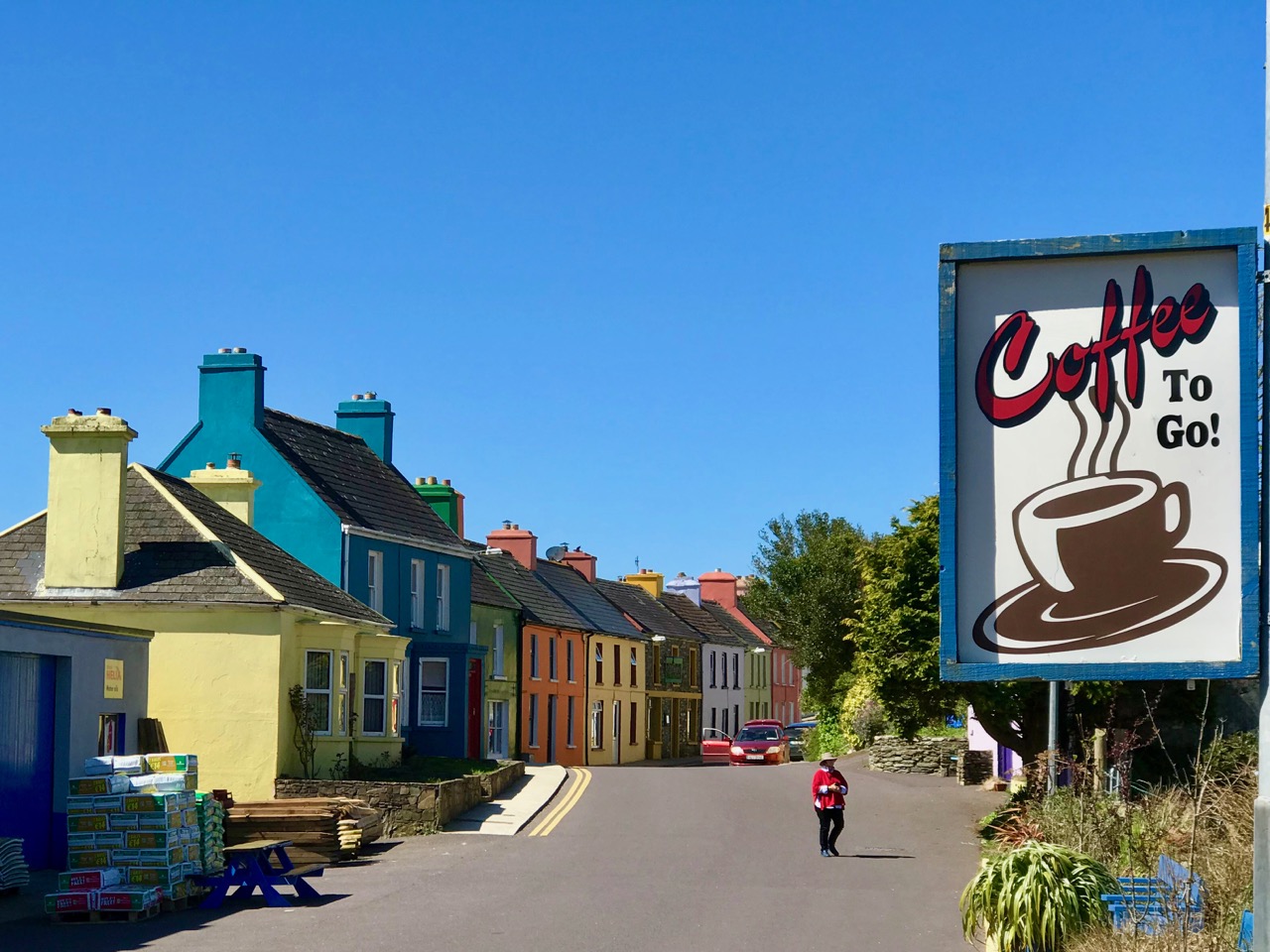
We have often visited the Beara Peninsula: it’s not too far away and makes a good day’s outing for us. Have a look at some recent posts here and here to get the feel of the geography. Yesterday we had a mission – to discover more about Donal Cam O’Sullivan Beare (1561 – 1618) and his connections with Dunboy Castle, over by Castletown-Bearhaven – often known as Castletownbere or just Castletown – in the far west of County Cork.
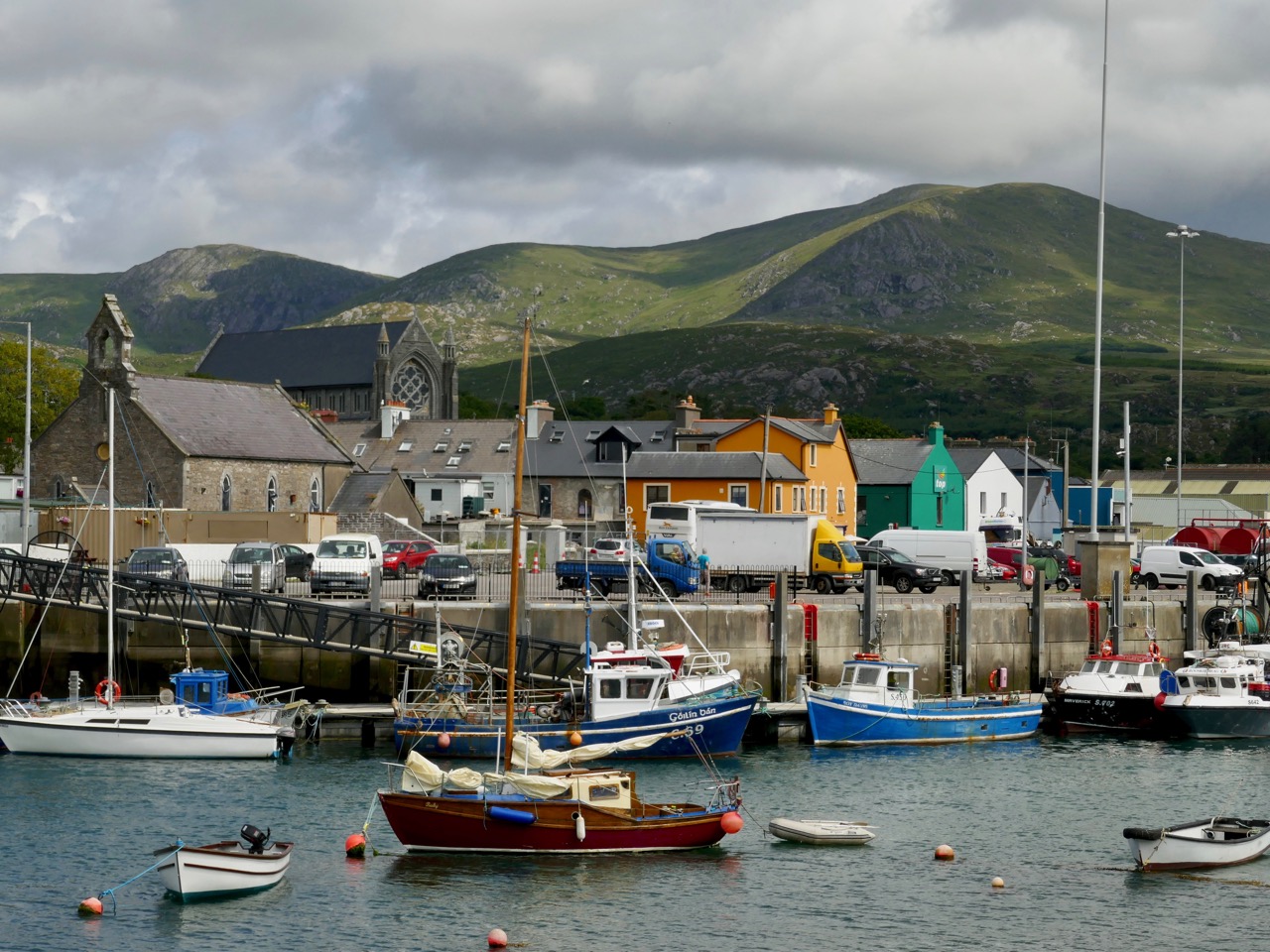
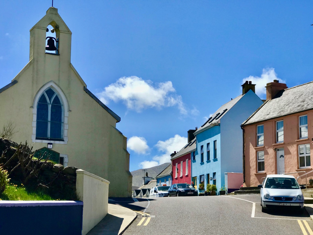
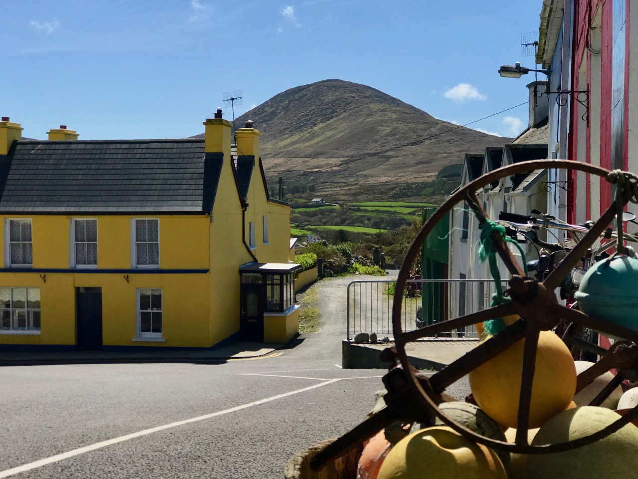
Our first stop was at the bustling harbour of Castletownbere which sits at the foot of the Caha Mountains. …Where land and sea collide, untamed beauty abounds… – that’s the apt heading on the website of the town’s Development Association, and it most certainly seems a lively and flourishing community, a good base from which to explore the wealth of history and archaeology on the Beara. Daphne du Maurier’s novel, Hungry Hill, is set in the area and is a family saga loosely derived from the history of the Irish ancestors of du Maurier’s friend, Christopher Puxley.
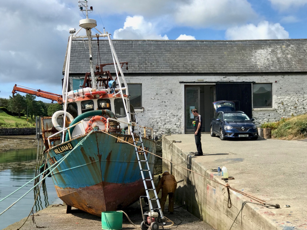
We paused only for a much-needed coffee and a quick look in the Sarah Walker Gallery (precariously and picturesquely situated on the end of the town’s slipway – it’s the white building in the picture above) before setting out to find Dunboy. I had read a little of the history of the place, and knew that it had been a centre of rebellion following the Battle of Kinsale in 1601 – 1602, when allied Irish and Spanish forces were defeated at the culmination of the Nine Years War between England and the Gaelic lordships.
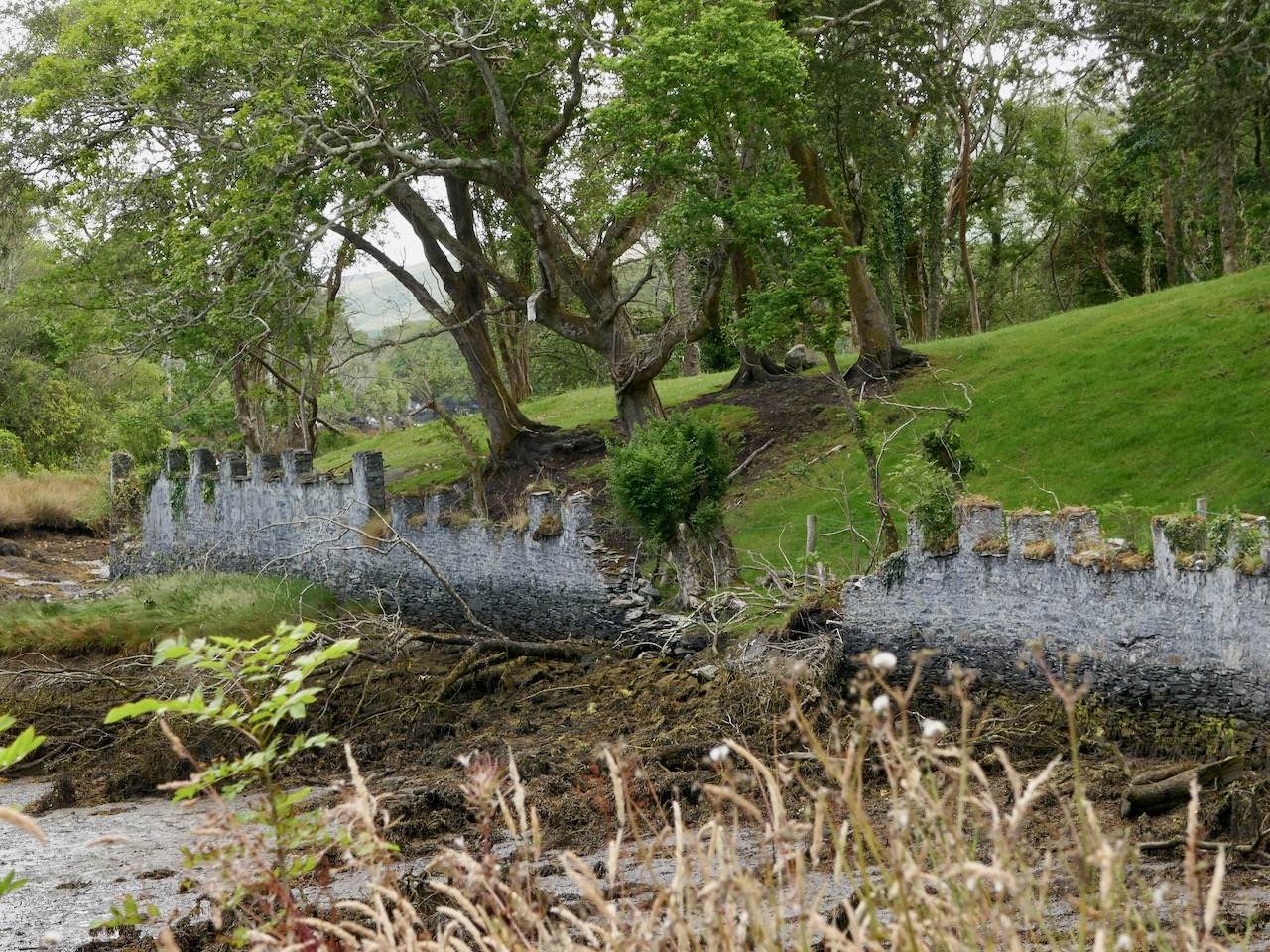
At the edge of the Dunboy Demense are traces of a castellated sea-wall and a gatehouse (above). The territory was a stronghold of the O’Sullivan Beare clan leader, and was built to guard and defend the harbour of Berehaven. Its presence enabled O’Sullivan Beare to control the sea fisheries off the coast and collect taxes from Irish and continental European fishing vessels sheltering in the haven. It was also a centre for trade to and from the continent. In the aftermath of the Battle Of Kinsale Donal Cam O’Sullivan Beare’s followers retreated to Dunboy Castle, which was considered an impregnable stronghold.

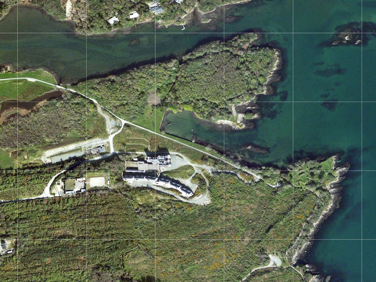
The 25″ historic Ordnance Survey map (upper picture) shows the location of the O’Sullivan Beare fortress, circled in red. Don’t be confused by the ‘Dunboy Castle’ label: this is a later building added to an existing tower house that stood on the hill above the promontory. The estate came into the hands of the Puxley family who invested significantly in the Allihies copper mines in the 19th century. The development in the centre of the aerial view above is Puxley Manor, and is a 21st century incarnation of the huge neo-gothic family mansion created by the family, which was burnt out by the IRA in the 1920s.

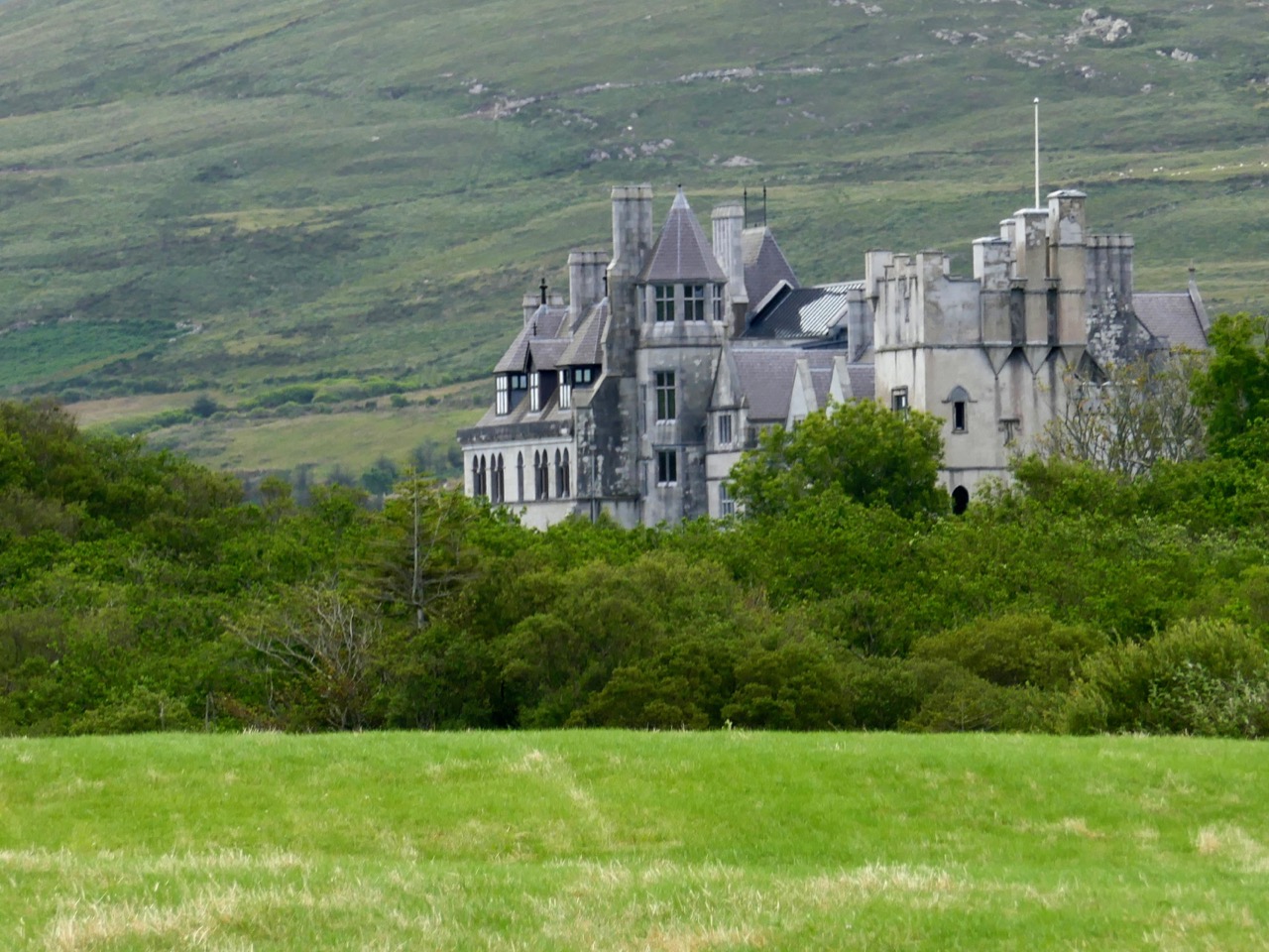
These pictures show the mansion after its destruction and today. In the lower photograph you can see the original tower house in the foreground: the buildings were fully restored as part of a high-profile ‘Celtic Tiger’ project to create a 6-star hotel which could have brought employment and significant economic benefits to the area. Unfortunately the project collapsed before completion, and the future of this decaying leviathan is uncertain.

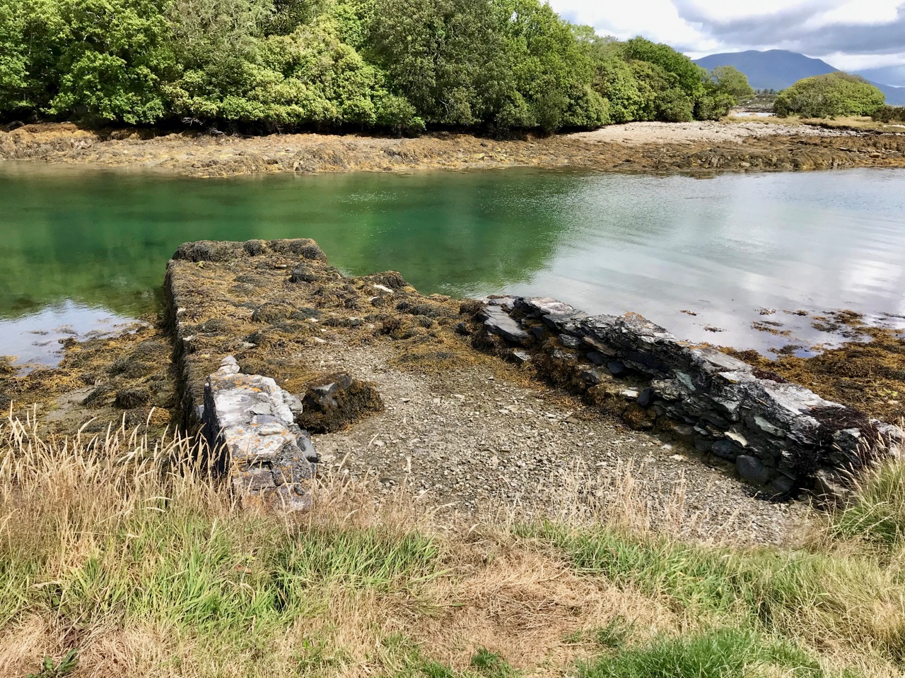
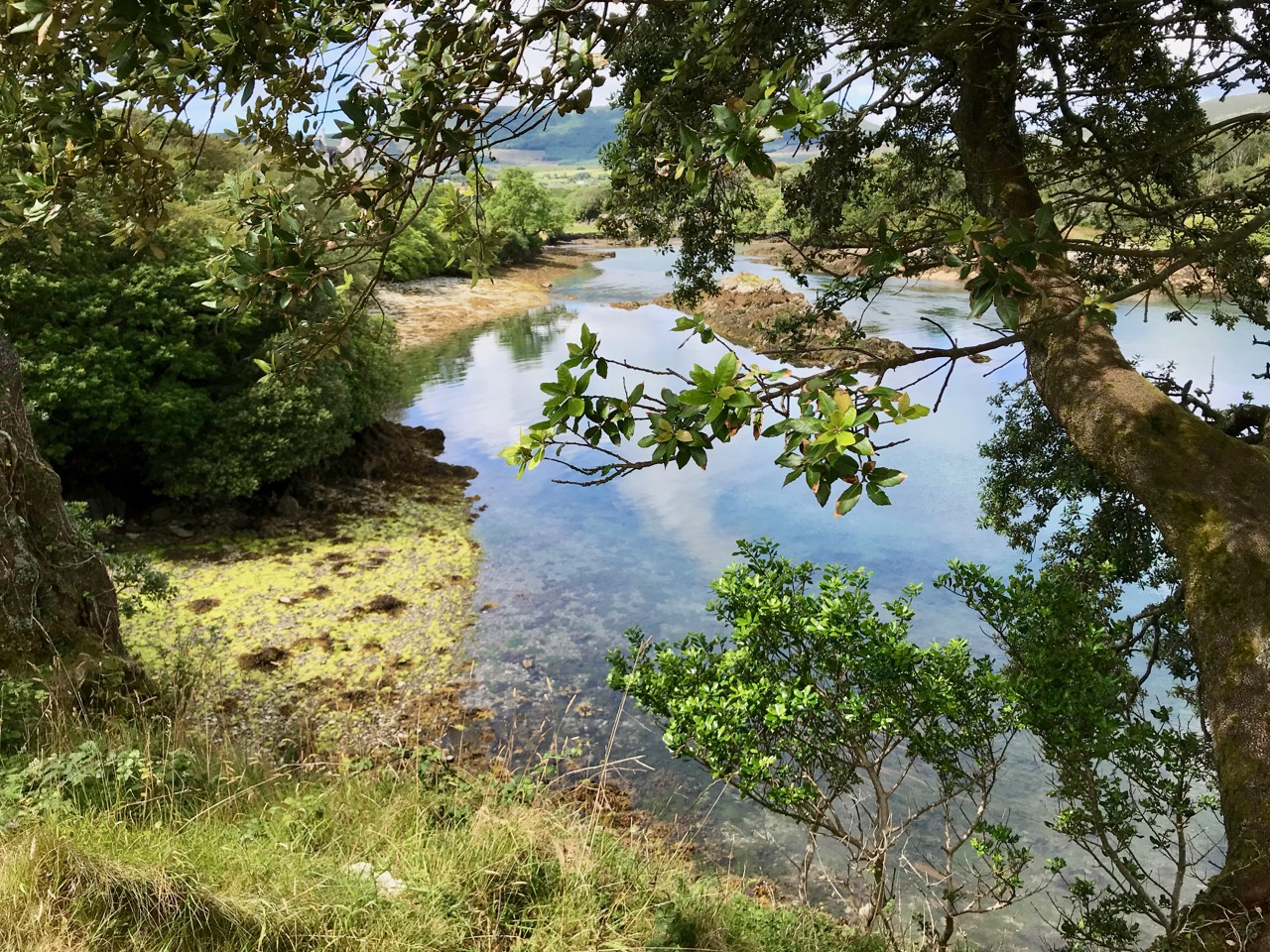
We could only look in awe at the very evident and lavish quality of the restoration and development, even in its present state, and speculate how its fortunes might have fared in more stable times. But all this was a bit of a diversion, as our goal was a much less audacious – but far more historically important – site: the original ‘Dunboy Castle’. We followed the trackway along the inlet, which looks as though it was artificially constructed to form a quay serving the demesne.
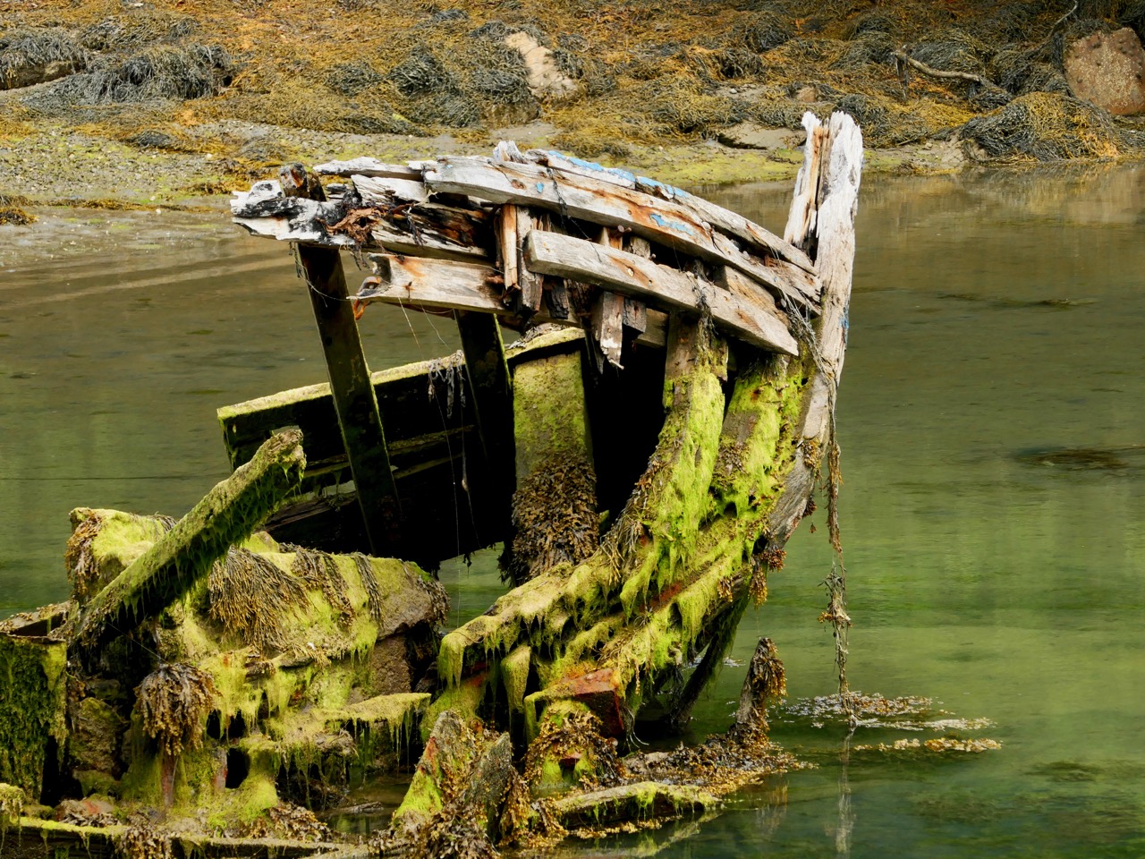
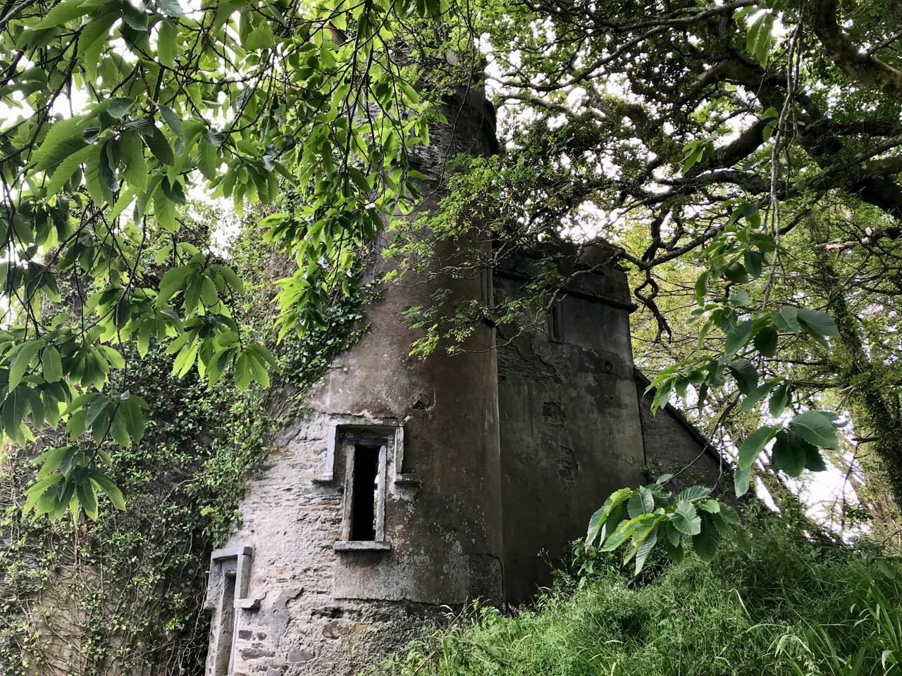
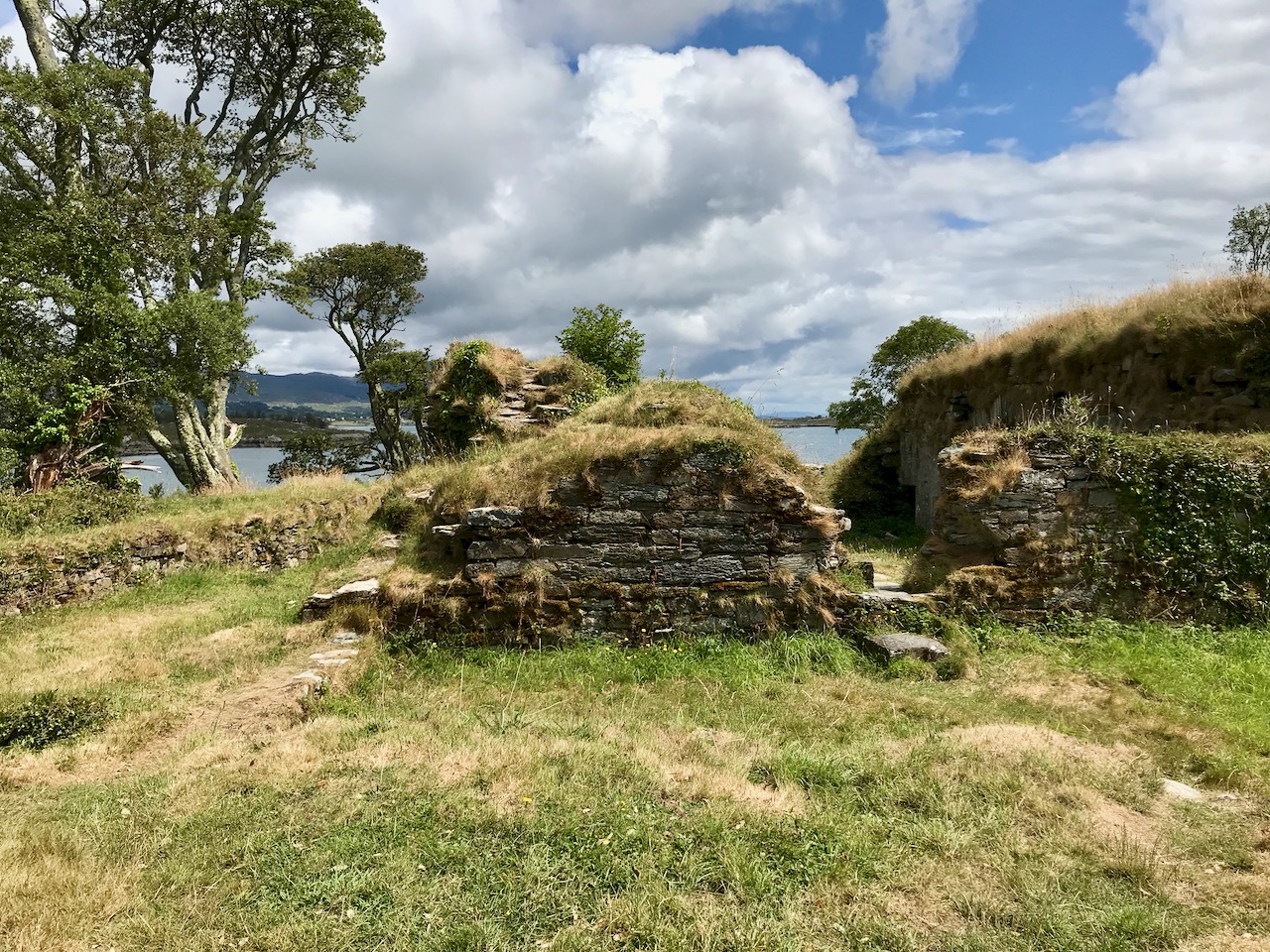
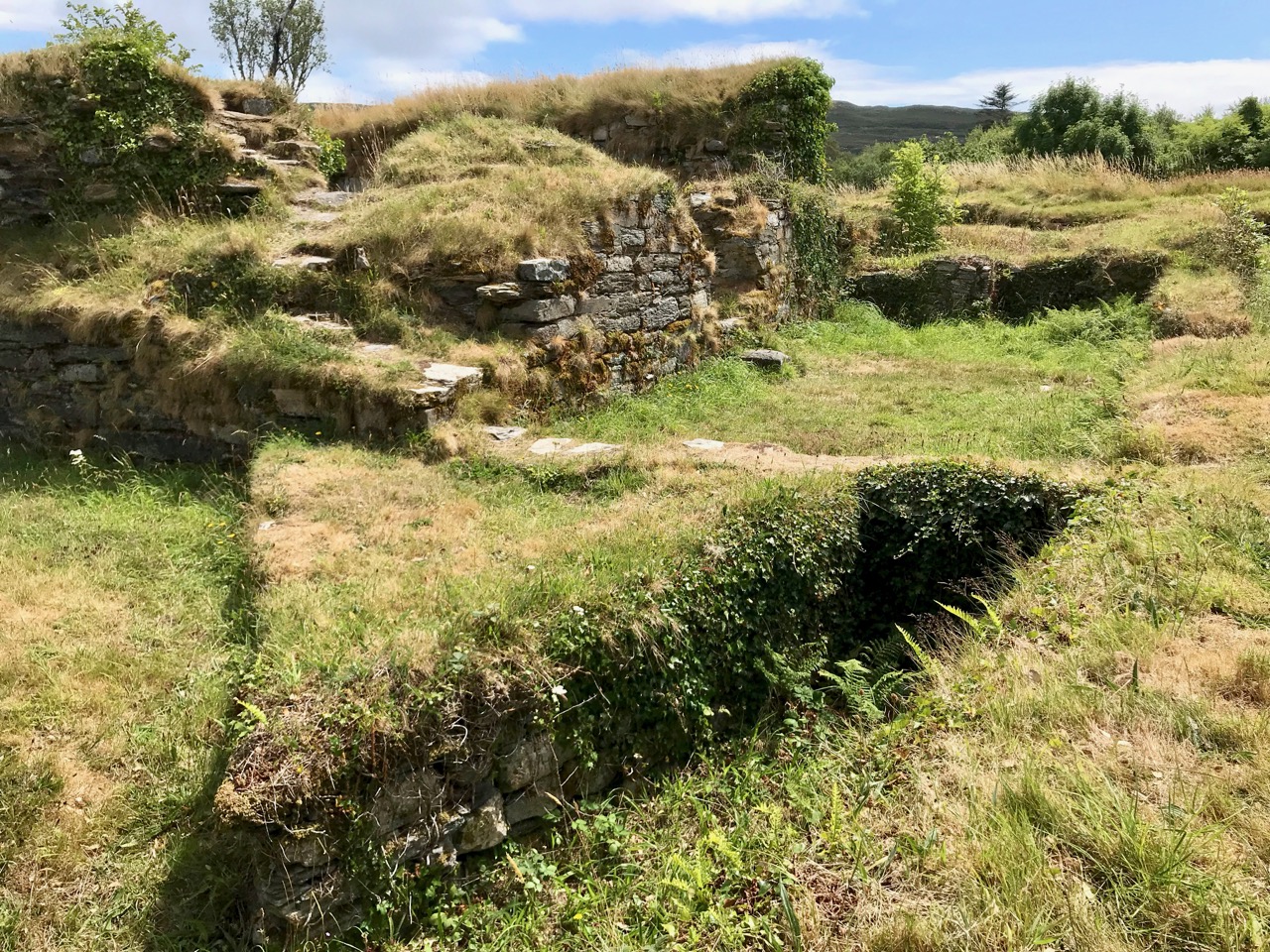
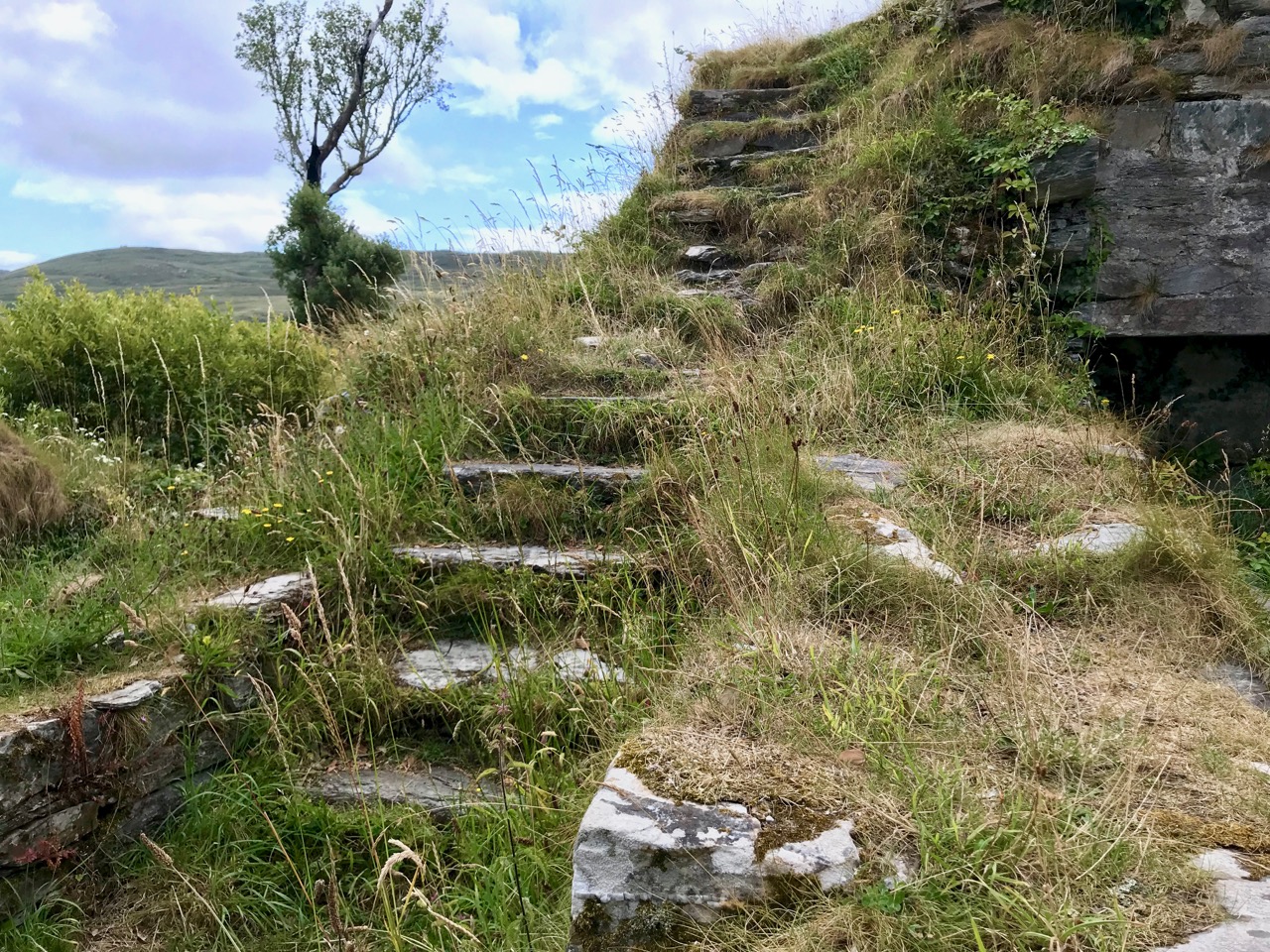
The ruin itself is unassuming: thick stone walls barely a few metres high. However, the ground plan is clear to see – a typical ‘tower house’ design with splayed openings and steps contained in the thickness of the outer walls. Also visible in the surroundings, however, are the clear ‘star’ shapes of an enclosure, complete with salient angles. These outer defences, reminiscent of ‘star-shaped forts’ evidently date from Cromwellian times, constructed after the castle was destroyed.
These ruins conceal an unhappy tale. At Kinsale the clan chiefs had been joined by a large force of troops sent by King Philip III of Spain, who considered that a federation with Ireland would assist his aspirations against Elizabethan England. After the surrender, a number of O’Sullivan followers retreated to Dunboy, where they found the small Spanish force stationed there preparing to hand the castle over to the queen’s Lord Deputy, Mountjoy. O’Sullivan overpowered and disarmed the Spaniards and later released them to return to Spain, having kept kept all of their arms, ordnance and munitions. Inevitably, an English force under George Carew set out for Dunboy: it is said that this force numbered between 4,000 and 5,000 troops. O’Sullivan Beare established defences at the castle, but set off himself with most of his own army to consolidate in the north of the Beara Peninsula. Only 143 of his men were left behind at Dunboy, together with Friar Dominic Collins to look after their spiritual welfare. The siege of Dunboy began with an artillery bombardment by land and sea. Owen O’Sullivan of Carriganass, a cousin of Donal Cam, had allied himself with the English and informed them of a weak point in the castle walls. The guns were directed to that point, and the walls were eventually breached. After a ten day siege, Dunboy was reduced to the ruin we see today.
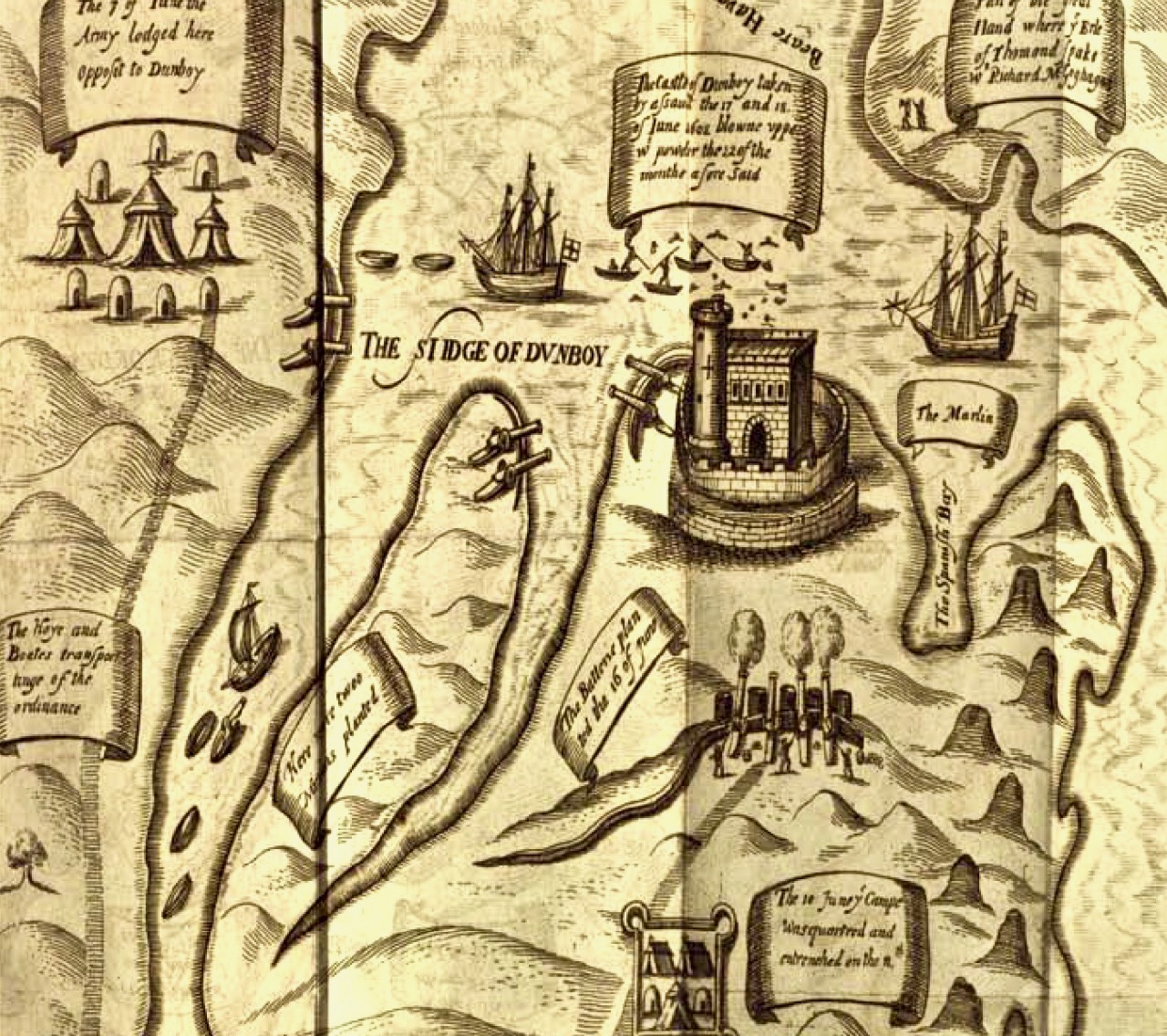
Above is a wonderful graphic illustration of the Siege of Dunboy Castle from Pacata Hibernia or A History of the Wars in Ireland during the Reign of Queen Elizabeth first published in 1633. Only 72 of the Irish defenders survived the siege: they were all hanged, including Friar Dominic Collins. Most of the hangings took place in the bustling square of Castletown-Bearhaven, close to where we had enjoyed our coffee at the start of our excursion.
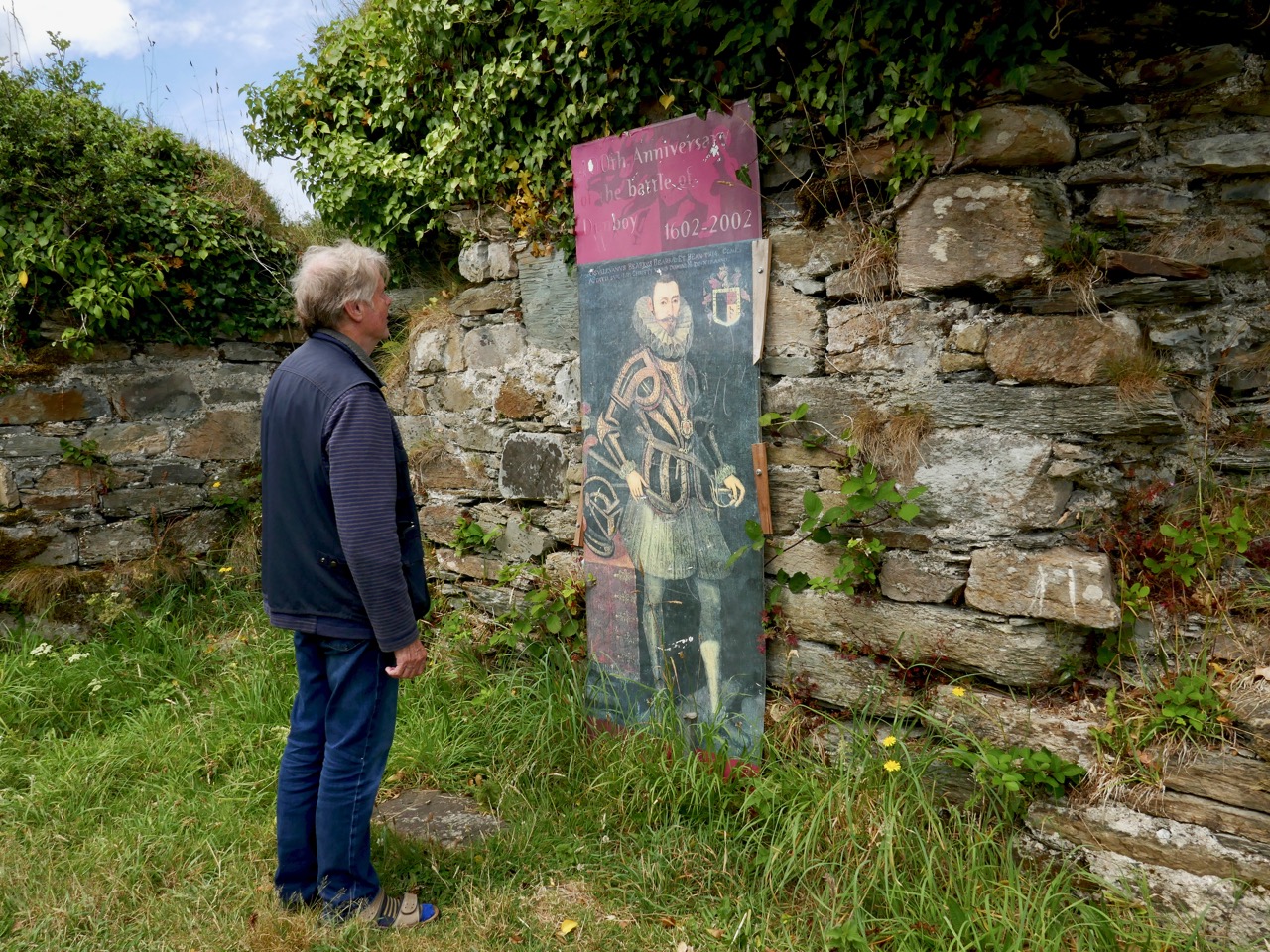
Here I am meeting Donal Cam himself in the ruins of his former stronghold. My account of the Siege of Dunboy is a very condensed version. Much more has been written about the details. As for O’Sullivan Beare, he eventually embarked on a long march to Leitrim with a thousand of his followers – but that’s a further unhappy story, best kept for another day!

Dunboy Castle and its immediate environs are publicly accessible and there is plenty of parking within easy reach. We finished our day on the Beara by following a rural loop walk from the castle ruin back to the gatehouse – about 5 kilometres in idyllic surroundings.