An Excursion to Dunboy

We have often visited the Beara Peninsula: it’s not too far away and makes a good day’s outing for us. Have a look at some recent posts here and here to get the feel of the geography. Yesterday we had a mission – to discover more about Donal Cam O’Sullivan Beare (1561 – 1618) and his connections with Dunboy Castle, over by Castletown-Bearhaven – often known as Castletownbere or just Castletown – in the far west of County Cork.

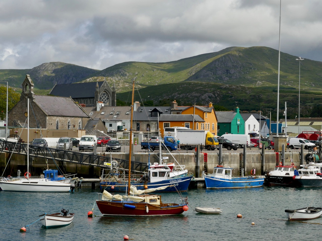
Our first stop was at the bustling harbour of Castletownbere which sits at the foot of the Caha Mountains. …Where land and sea collide, untamed beauty abounds… – that’s the apt heading on the website of the town’s Development Association, and it most certainly seems a lively and flourishing community, a good base from which to explore the wealth of history and archaeology on the Beara. Daphne du Maurier’s novel, Hungry Hill, is set in the area and is a family saga loosely derived from the history of the Irish ancestors of du Maurier’s friend, Christopher Puxley.

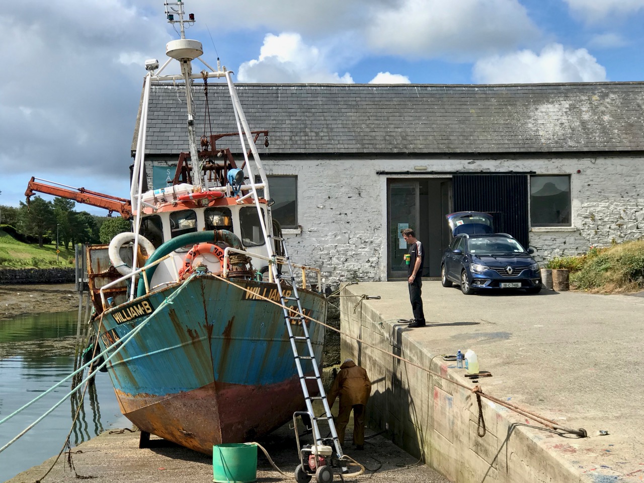
We paused only for a much-needed coffee and a quick look in the Sarah Walker Gallery (precariously and picturesquely situated on the end of the town’s slipway – it’s the white building in the picture above) before setting out to find Dunboy. I had read a little of the history of the place, and knew that it had been a centre of rebellion following the Battle of Kinsale in 1601 – 1602, when allied Irish and Spanish forces were defeated at the culmination of the Nine Years War between England and the Gaelic lordships.

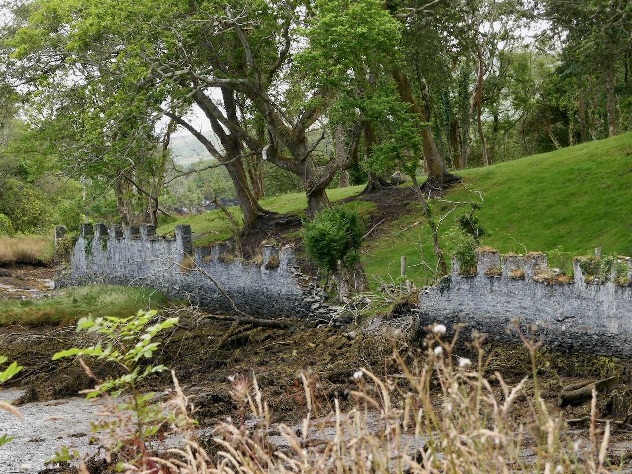
At the edge of the Dunboy Demense are traces of a castellated sea-wall and a gatehouse (above).  The territory was a stronghold of the O’Sullivan Beare clan leader, and was built to guard and defend the harbour of Berehaven. Its presence enabled O’Sullivan Beare to control the sea fisheries off the coast and collect taxes from Irish and continental European fishing vessels sheltering in the haven. It was also a centre for trade to and from the continent. In the aftermath of the Battle Of Kinsale Donal Cam O’Sullivan Beare’s followers retreated to Dunboy Castle, which was considered an impregnable stronghold.

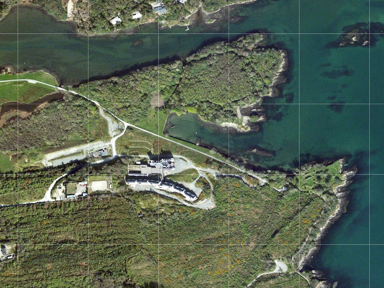
The 25″ historic Ordnance Survey map (upper picture) shows the location of the O’Sullivan Beare fortress, circled in red. Don’t be confused by the ‘Dunboy Castle’ label: this is a later building added to an existing tower house that stood on the hill above the promontory. The estate came into the hands of the Puxley family who invested significantly in the Allihies copper mines in the 19th century. The development in the centre of the aerial view above is Puxley Manor, and is a 21st century incarnation of the huge neo-gothic family mansion created by the family, which was burnt out by the IRA in the 1920s.
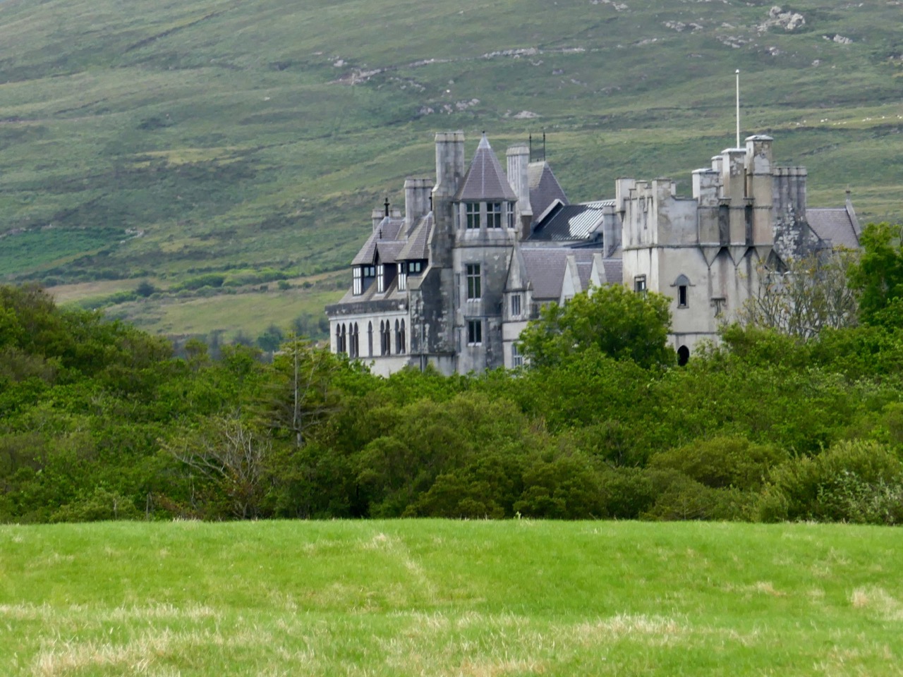
These pictures show the mansion after its destruction and today. In the lower photograph you can see the original tower house in the foreground: the buildings were fully restored as part of a high-profile ‘Celtic Tiger’ project to create a 6-star hotel which could have brought employment and significant economic benefits to the area. Unfortunately the project collapsed before completion, and the future of this decaying leviathan is uncertain.

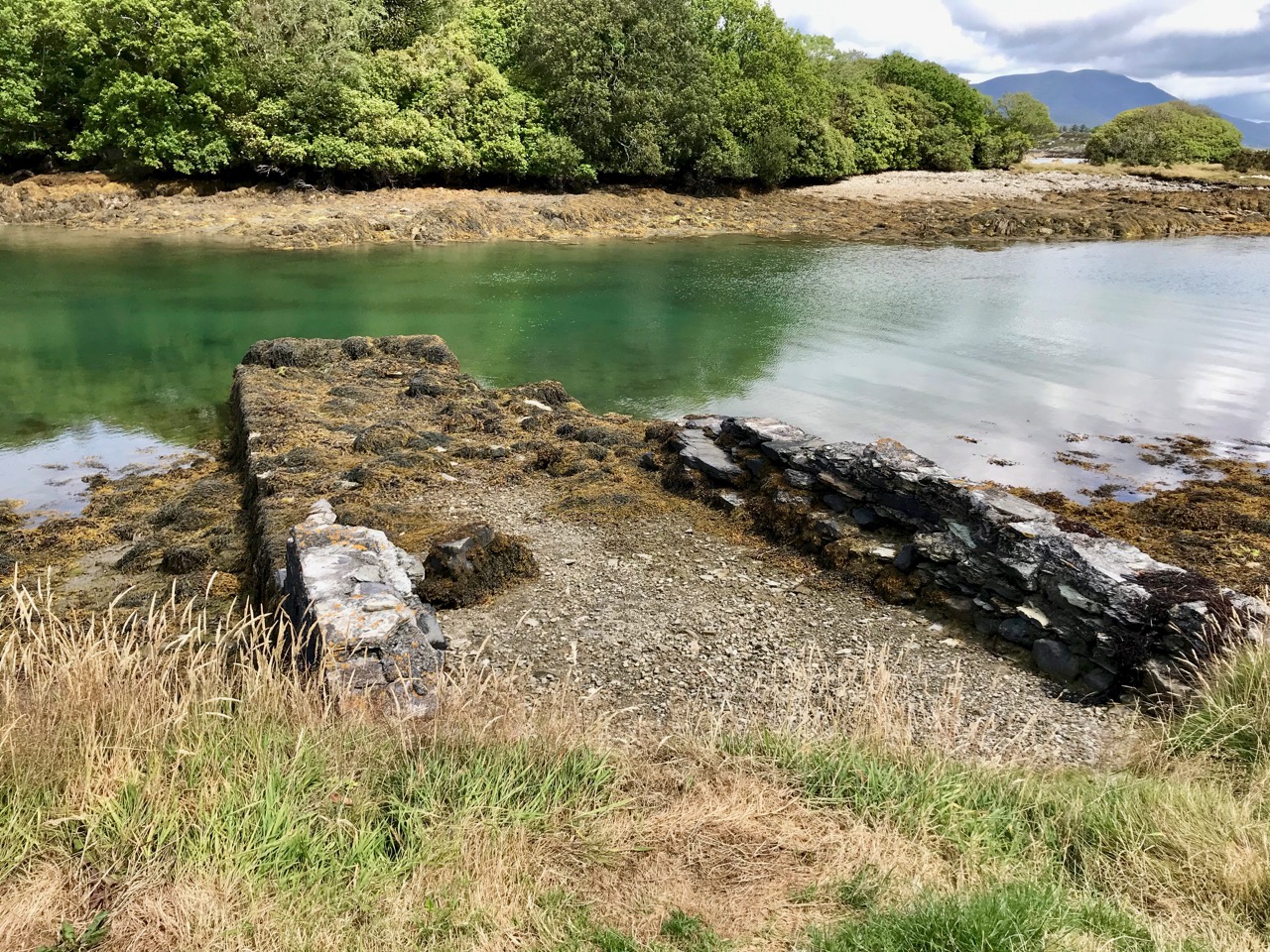
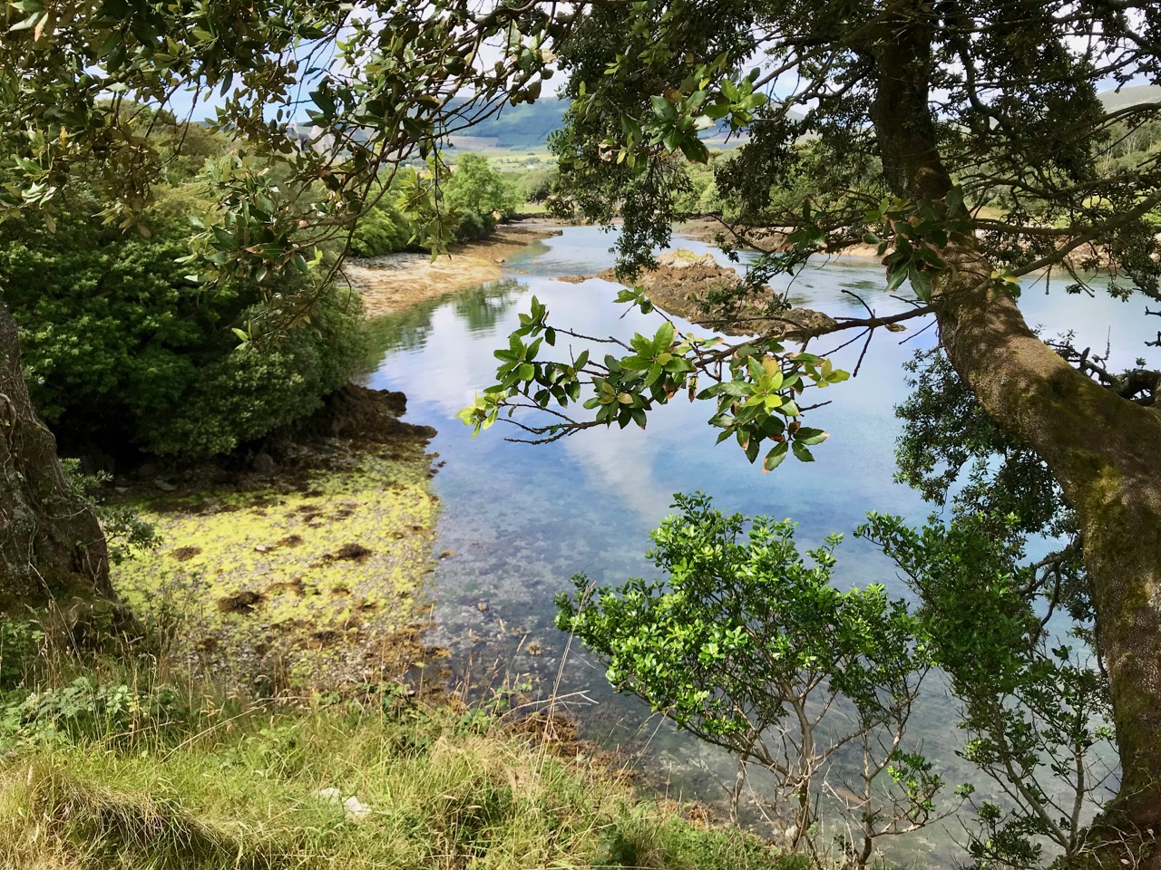
We could only look in awe at the very evident and lavish quality of the restoration and development, even in its present state, and speculate how its fortunes might have fared in more stable times. But all this was a bit of a diversion, as our goal was a much less audacious – but far more historically important – site: the original ‘Dunboy Castle’. We followed the trackway along the inlet, which looks as though it was artificially constructed to form a quay serving the demesne.

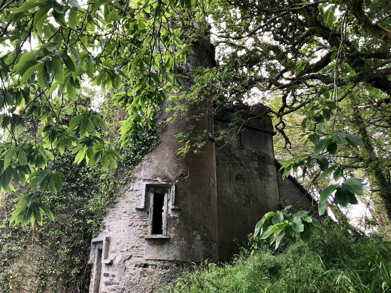
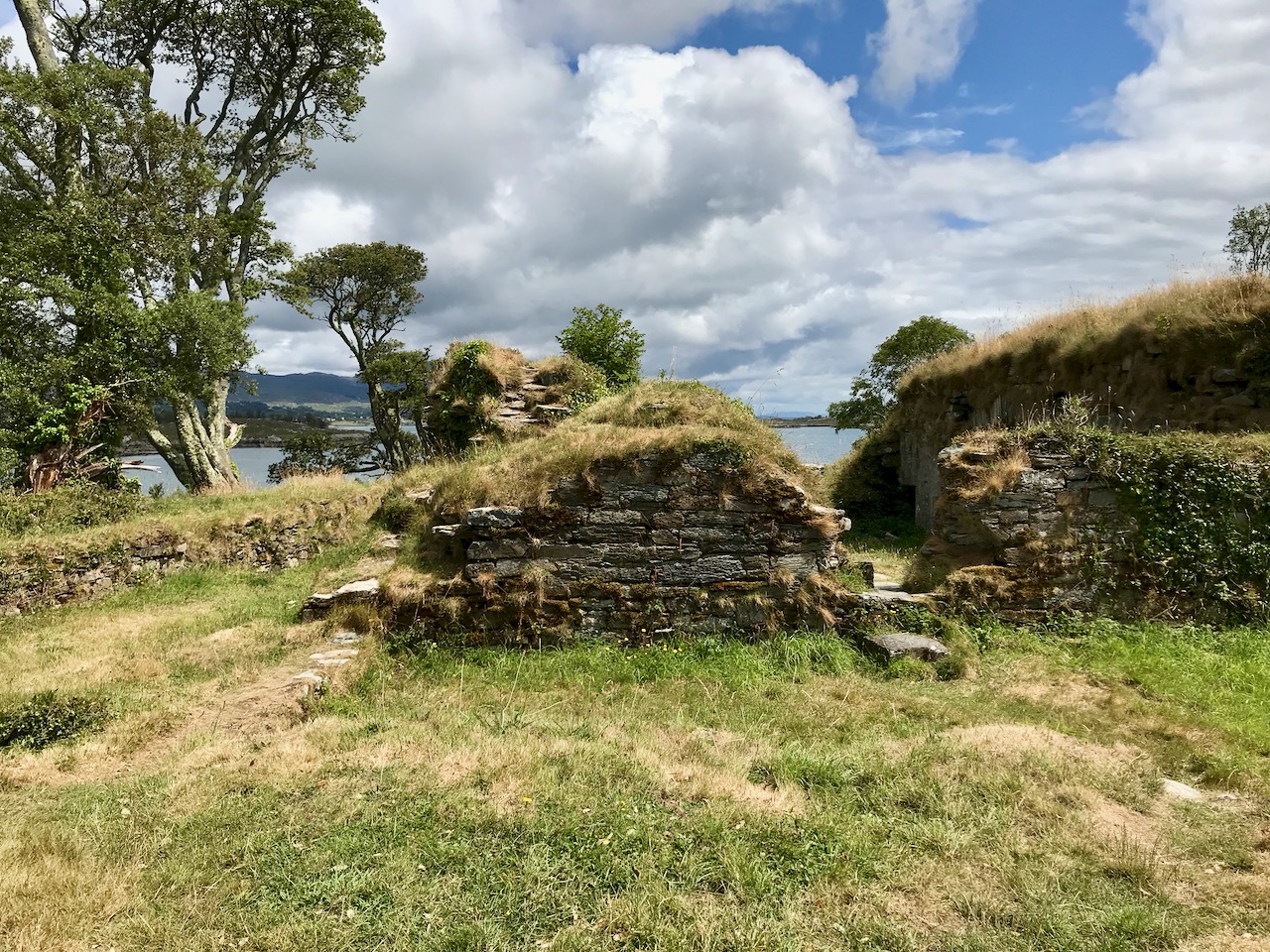
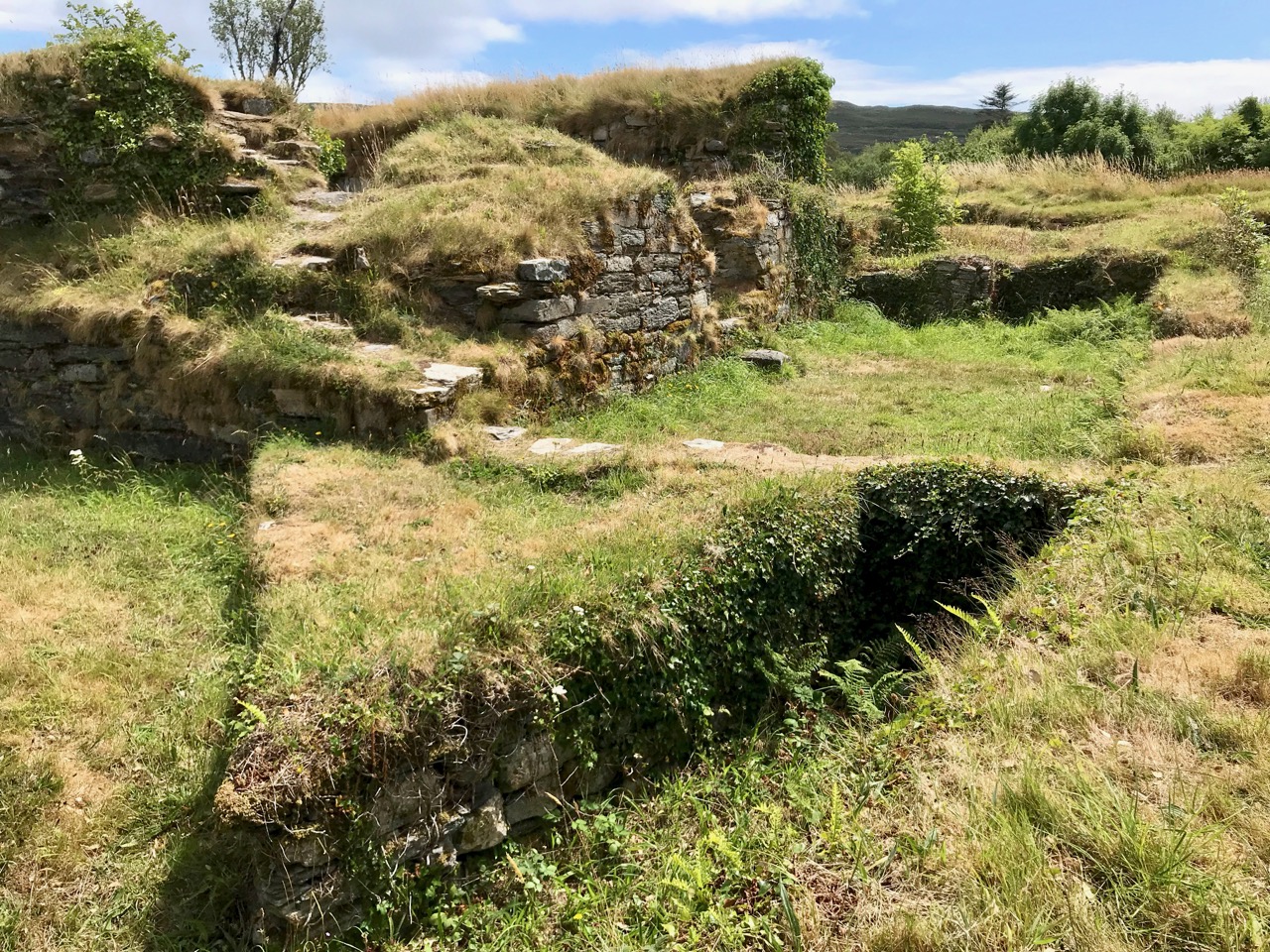
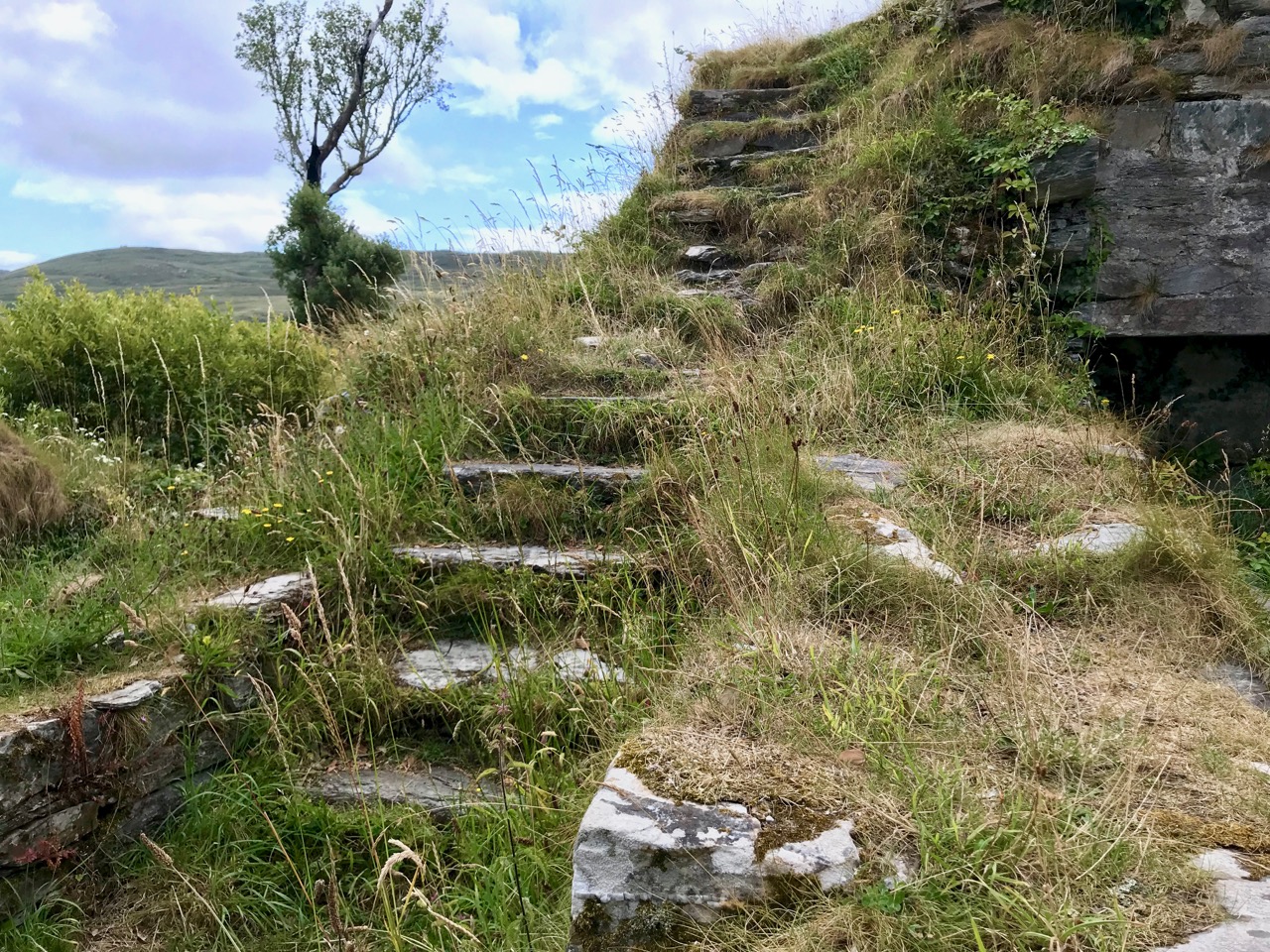
The ruin itself is unassuming: thick stone walls barely a few metres high. However, the ground plan is clear to see – a typical ‘tower house’ design with splayed openings and steps contained in the thickness of the outer walls. Also visible in the surroundings, however, are the clear ‘star’ shapes of an enclosure, complete with salient angles. These outer defences, reminiscent of ‘star-shaped forts’ evidently date from Cromwellian times, constructed after the castle was destroyed.

These ruins conceal an unhappy tale. At Kinsale the clan chiefs had been joined by a large force of troops sent by King Philip III of Spain, who considered that a federation with Ireland would assist his aspirations against Elizabethan England. After the surrender, a number of O’Sullivan followers retreated to Dunboy, where they found the small Spanish force stationed there  preparing to hand the castle over to the queen’s Lord Deputy, Mountjoy. O’Sullivan overpowered and disarmed the Spaniards and later released them to return to Spain, having kept kept all of their arms, ordnance and munitions. Inevitably, an English force under George Carew set out for Dunboy: it is said that this force numbered between 4,000 and 5,000 troops. O’Sullivan Beare established defences at the castle, but set off himself with most of his own army to consolidate in the north of the Beara Peninsula. Only 143 of his men were left behind at Dunboy, together with Friar Dominic Collins to look after their spiritual welfare. The siege of Dunboy began with an artillery bombardment by land and sea. Owen O’Sullivan of Carriganass, a cousin of Donal Cam, had allied himself with the English and informed them of a weak point in the castle walls. The guns were directed to that point, and the walls were eventually breached. After a ten day siege, Dunboy was reduced to the ruin we see today.

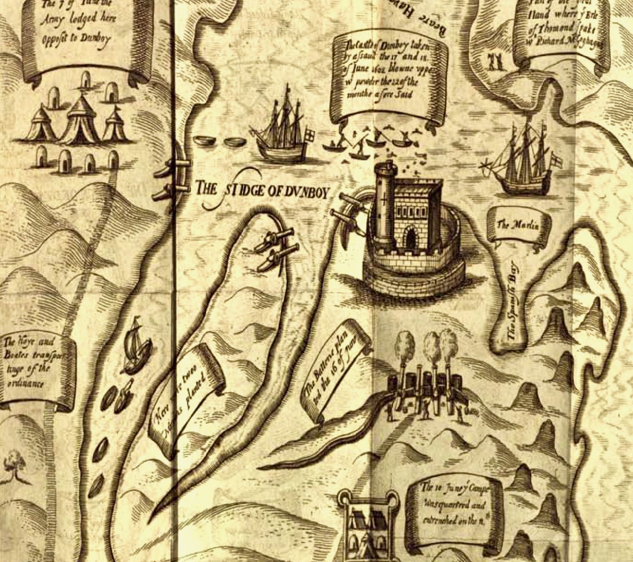
Above is a wonderful graphic illustration of the Siege of Dunboy Castle from Pacata Hibernia or A History of the Wars in Ireland during the Reign of Queen Elizabeth first published in 1633. Only 72 of the Irish defenders survived the siege: they were all hanged, including Friar Dominic Collins. Most of the hangings took place in the bustling square of Castletown-Bearhaven, close to where we had enjoyed our coffee at the start of our excursion.

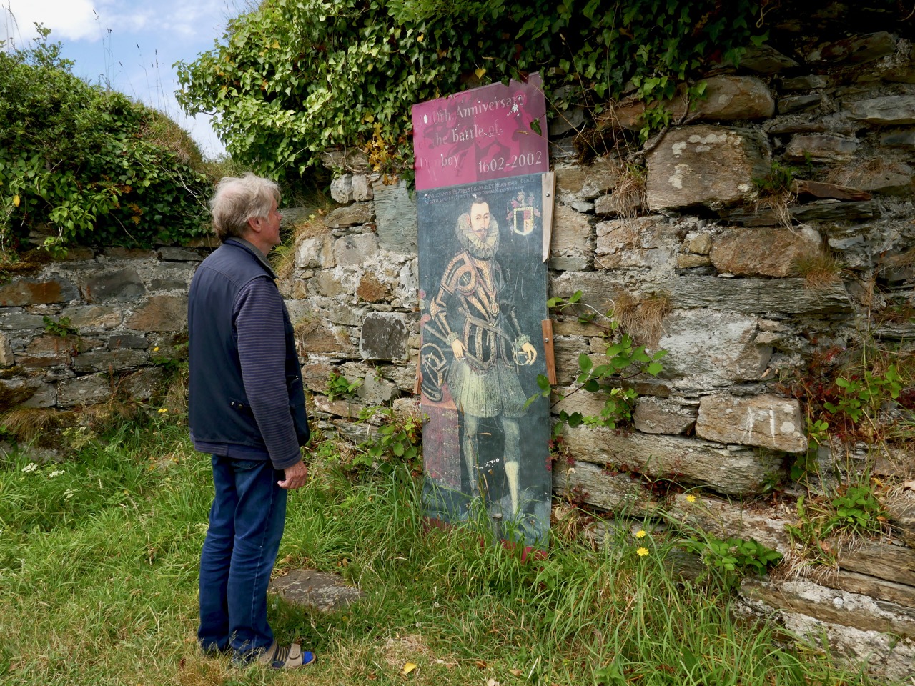
Here I am meeting Donal Cam himself in the ruins of his former stronghold. My account of the Siege of Dunboy is a very condensed version. Much more has been written about the details. As for O’Sullivan Beare, he eventually embarked on a long march to Leitrim with a thousand of his followers – but that’s a further unhappy story, best kept for another day!

Dunboy Castle and its immediate environs are publicly accessible and there is plenty of parking within easy reach. We finished our day on the Beara by following a rural loop walk from the castle ruin back to the gatehouse – about 5 kilometres in idyllic surroundings.

A Tale of Four Churches

Kilcoe Medieval Church

Kilcoe Medieval Church

Kilcoe is a magical place. The story of its four churches leads us from the dawn of Christianity in Ireland through turbulent times and many centuries when religious differences and sectarian strife marked all aspects of life in Ireland.

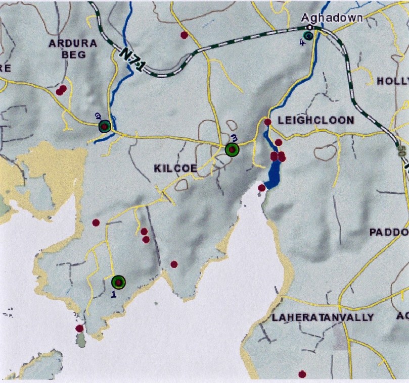
The four churches: 1, Kilcoe Medieval Church  2, Mass Rock 3, Kilcoe 19th Century Church 4, Kilcoe Modern Church of the Most Holy Rosary

The four churches: 1, Kilcoe Medieval Church. 2, Mass Rock. 3, Kilcoe 19th Century Church. 4. Kilcoe Modern Church of the Most Holy Rosary

We love going down to the Medieval church at Kilcoe or wandering the boreens along the Roaringwater River. Those boreens are now part of the Fastnet Trail Network and last weekend, at the Launch, we were treated to a talk about the locality from Fr Patrick Hickey, Parish Priest of Timoleague and a noted scholar of West Cork History. This blog post was inspired by that talk – thank you, Fr Hickey!

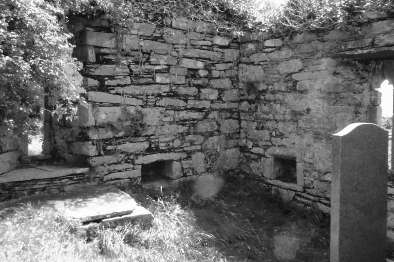
Inside the church, showing the ogival windows, the altar, piscina or stoup, and a small recessed cupboard

Inside the church, showing the ogival windows, the altar, piscina or stoup, and a small recessed cupboard

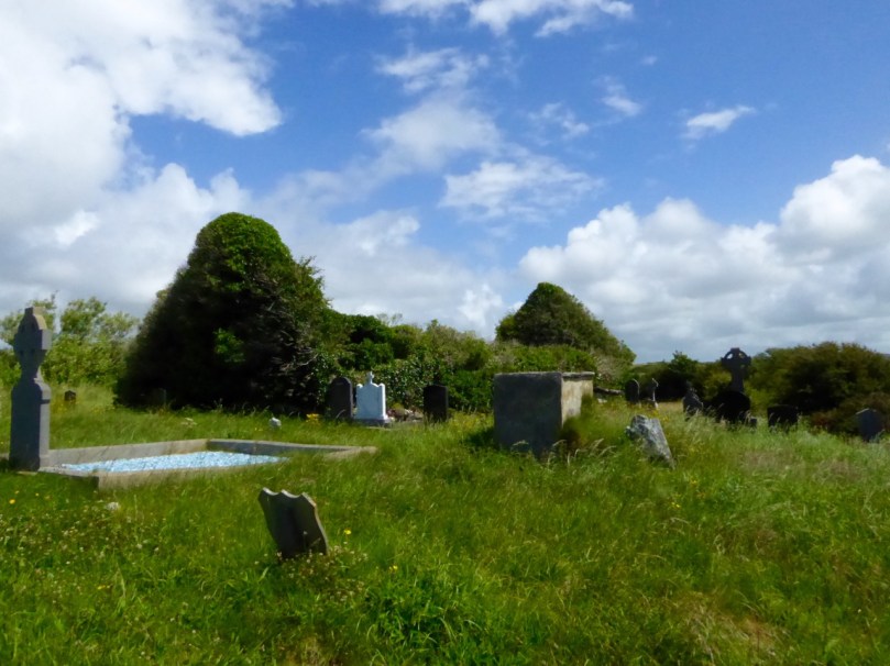
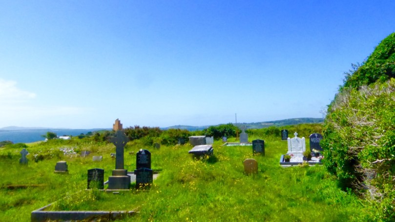
Kilcoe gets its name from St Coch, a nun said to be a colleague of St Ciarán of Cape Clear, who preached Christianity in Ireland before St Patrick, in the 5th Century. It is possible she founded a church here, but what we do know is that one was built in Medieval times – a building that still exists although the ivy is doing its best to take it over.

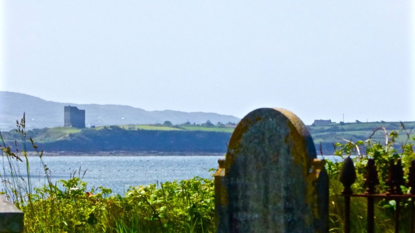
It’s a beautiful and atmospheric place, on the water, overlooking Roaringwater Bay. Two castles are in view: Kilcoe and Rincolisky, a McCarthy and an O’Driscoll Castle respectively. Each has a fascinating history that deserves a post of its own sometime. Some special features remain in this ruined church – windows with carved ogees, a lovely arched doorway, a piscina (for washing vessels) or stoup (for washing hands), a recess for storing vessels and the remains of a possible altar.

We don’t know exactly when this church was built or by whom, but we do know it was in ruins by 1615. Perhaps it was destroyed by the same forces that laid siege to Kilcoe Castle after the Battle of Kinsale in 1601 – a period that marked the end of the Old Gaelic Order in West Cork.

The Medieval church, with Kilcoe Castle in the background.

The Church, with Kilcoe Castle in the background

The rise of the Protestant Ascendancy class in the aftermath of that fateful battle privileged the Church of Ireland (transplanted Anglicanism) over the Catholic faith and a series of new laws, gradually getting harsher, were designed to suppress ‘Romanism’. This culminated in the enactment, in 1695, of the infamous Penal Laws. While attendance at mass was initially tolerated, churches could only be built from wood and away from roads. Eventually, priests were expelled from Ireland and after that mass had to be held in secret, with priests moving from hiding place to hiding place. At Roaringwater Pier Fr Hickey talked of the typical cargo of the smuggling ships that plied their trade from there: each ship to arrive from France would be carrying tobacco, brandy – and a priest!

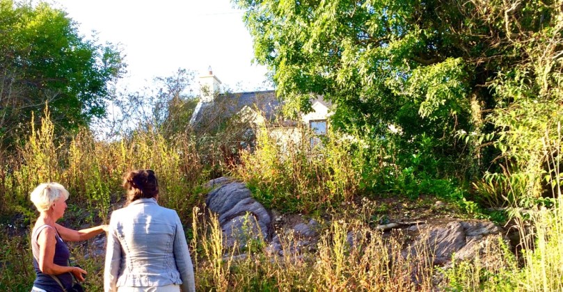
From this period we find the Mass Rocks scattered around rural Ireland, identified on the basis of local tradition. The one at Ardura Beg is just up from a tiny pier that would have offered possibility of a quick escape. Many stories have come down of lookouts warning of the approach of the ‘red coats’ and the miraculous ways in which priests would make their escape. (See here and here for examples.)

Sheona and Amanda examine the mass rock at Ardura Beg

Sheona and Amanda examine the mass rock at Ardura Beg

Places of worship must be located where they are accessible and the first two are close by the sea, which afforded the easiest travel routes in Ireland for most of its history. However, roads were constructed eventually and the next two churches were located along these new routes. The first one, we’ll call it the Old Church, was built along the new road that led from Skibbereen to the Beara Peninsula. After 1778 the anti-Catholic laws were gradually relaxed, although it was not until 1829 that full Catholic Emancipation was won by Daniel O’Connell. The Old Church was probably built around 1800 and was a simple ‘barn-style’ edifice which served an impoverished and famine-stricken populace for a hundred years.

Left, the Old Church near Roaringwater Pier. Right, an example of a simple ‘barn style’ church in West Cork

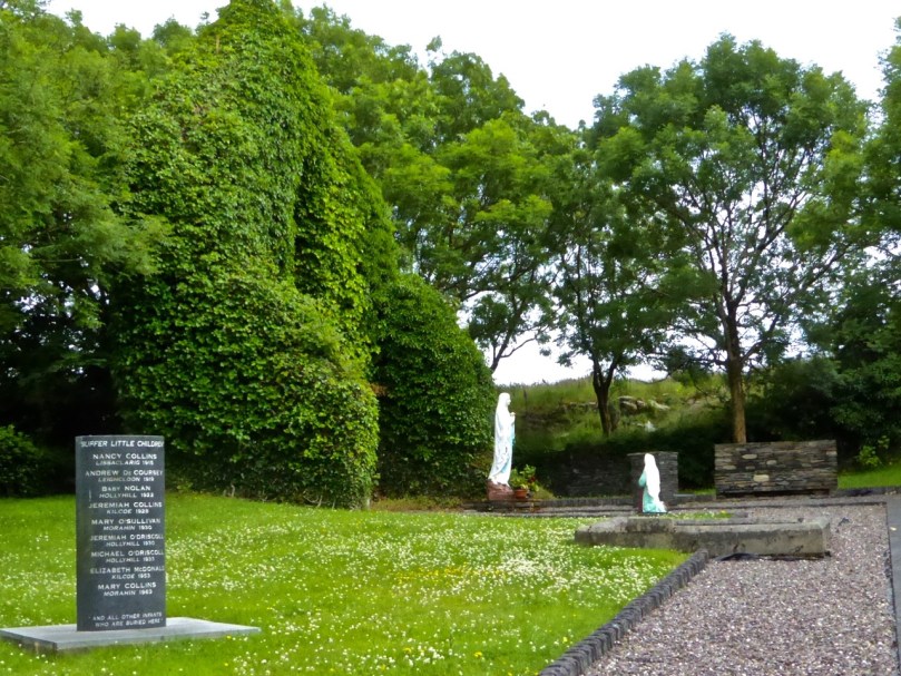
By the turn of the 20th Century it was deemed unfit for purpose. Nowadays it is a gentle green space, lovingly tended and in use as a grotto. Children were buried there – it was not a cillín, but a consecrated graveyard – and a memorial remembers them now.

Grotto and Chirdren Memorial. A place for contemplation

Grotto and Children’s Memorial. A place for contemplation

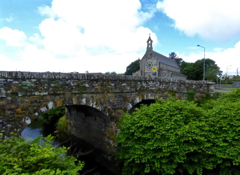
Catholic Emancipation ushered in a long period of church building by the newly-confident Catholic majority. The new road from Skibbereen to Ballydehob was constructed at the end of the 19th century and the New Church was built there in 1905, right beside the bridge over the Roaringwater River.

Kilcoe Church and Bridge

Bridge over Roaringwater River

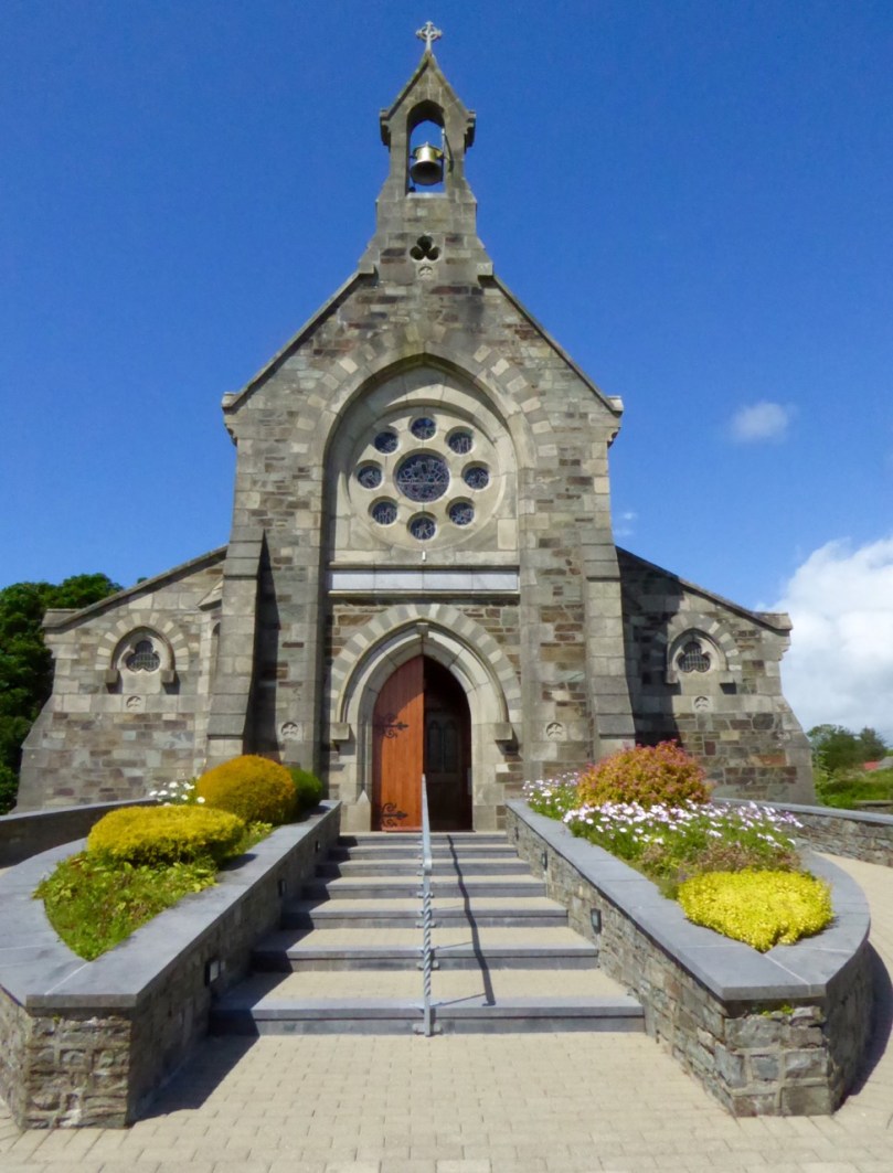
The two styles of churches common at the time were Neo-Gothic, Influenced by continental cathedrals, and Hiberno-Romanesque which took its inspiration from the Early Medieval Romanesque style of Old Ireland and featured wonderful doorways and round towers. The Kilcoe New Church, the Church of the Most Holy Rosary, was built in the Neo-Gothic style, with a large rose window at the eastern end.

Kilcoe, Church of the Most Holy Rosary

Kilcoe, Church of the Most Holy Rosary

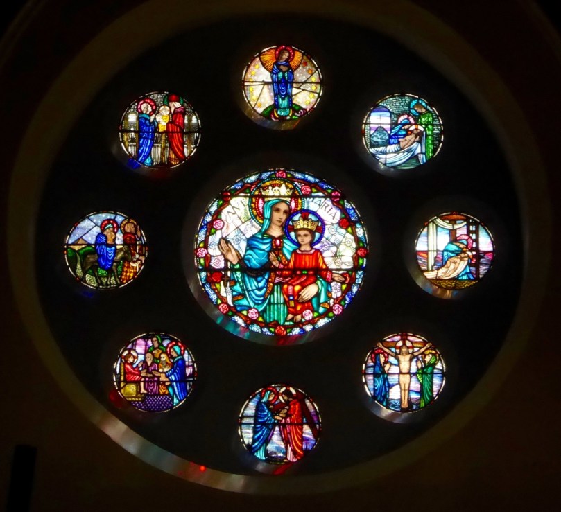
Originally the side-aisles did not have seats – poorer people could stand there for mass, while those who could afford a penny would occupy the pews. As the church fund grew, thought was put into ornamentation and stained glass was commissioned for several windows. The rose window was executed by the Harry Clarke Studios in 1943 and shows scenes from the life of Christ and of Mary.

The Rose Window, by the Harry Clarke Studio

The Rose Window, by the Harry Clarke Studio

The Altar and side windows were the work of Sarah Purser’s Tower of Glass. The choice of stained glass – from Dublin-based Celtic Revival artists rather than the English or Continental firms that supplied most church glass at the time –  was a choice that demonstrates the nationalistic feelings that were rife in West Cork at the time.

Irish History is written large on her landscape. In this one small area – these sites are within a couple of kilometres of each other – we see encapsulated sixteen hundred years of history, starting with St Coch and ending with the latest incarnation of a church at Kilcoe. Their beauty and their peaceful settings have been hard won. They should serve to remind us that peace and tolerance must always be cherished and safeguarded.

Rincolisky Castle from Kilcoe Medieval Church

Rincolisky Castle from Kilcoe Medieval Church