The Down Survey

Here’s a fascinating title block. What are these cherubs doing? The couple on the left are excited about the operation of a magnetic compass; the little drummer is wearing a plumed helmet and has a decorated sash around his torso; cherub number 4 is bearing a spherical astrolabe, while the three on the right are actively engaged in surveying – using a Gunter’s Chain. This latter instrument – by the way – achieved, in the seventeenth century, something we seem to find tricky in our present day: the simple reconciling of imperial and metric measurements!

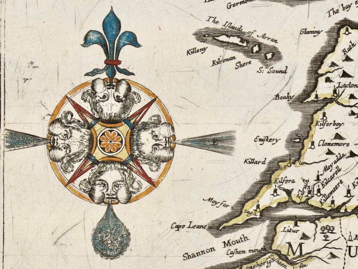
The cherub image, and the two above, adorn and decorate a remarkable document: the Down Survey map of Ireland. As this survey was ordered by Oliver Cromwell after an cogadh a chriochnaigh Éire (the war that finished Ireland) it seems strange that the north point of the compass is a fleur-de-lis: usually a symbol of the Virgin Mary. Cromwell himself was, of course, a Puritan and a Protestant and his actions in Ireland were aimed at subduing the rights and practices of Catholics, driving them ‘to Hell or Connaught’ – the poorest lands to the west of the Shannon river.

The decade following the Irish rebellion of 1641 witnessed a particularly turbulent period of warfare in Ireland between Catholic families and invaders from England, who were led by the dispossessed followers of the crown during the Civil War, which lasted through most of that period. The Act for the Settling of Ireland (1652) imposed penalties including death and land confiscation against Irish civilians and combatants after the Irish Rebellion and subsequent unrest. British historian John Morrill wrote that the Act and associated forced movements represented …perhaps the greatest exercise in ethnic cleansing in early modern Europe…

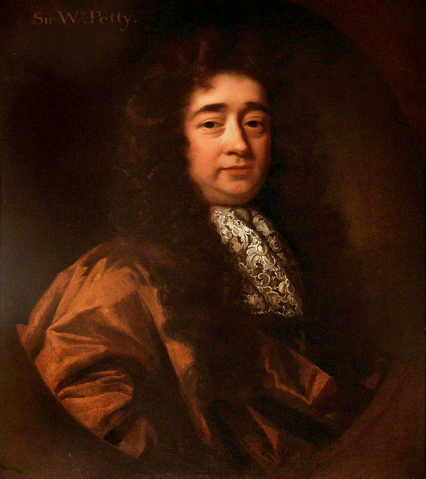
Sir William Petty – in charge of the Down Survey. Portrait by Godfrey Kneller, courtesy Romsey Town Council.

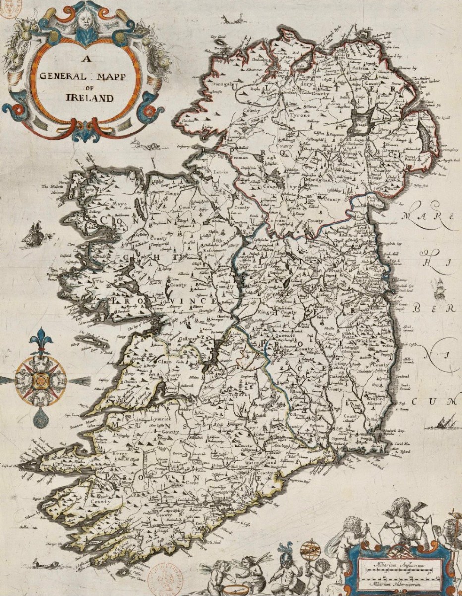
. . . Taken in the years 1656-1658, the Down Survey of Ireland is the first ever detailed land survey on a national scale anywhere in the world. The survey sought to measure all the land to be forfeited by the Catholic Irish in order to facilitate its redistribution to Merchant Adventurers and English soldiers. Copies of these maps have survived in dozens of libraries and archives throughout Ireland and Britain, as well as in the National Library of France. This Project has brought together for the first time in over 300 years all the surviving maps, digitised them and made them available as a public online resource . . .

http://downsurvey.tcd.ie/

We are very fortunate to be able to freely access – through the internet – this website which contains all available copies of the surviving Down Survey maps, together with written descriptions (terriers) of each barony and parish that accompanied the original maps. These bring out for us very detailed information on what the surveyors recorded in Ireland three and a half centuries ago.

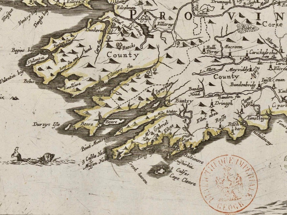
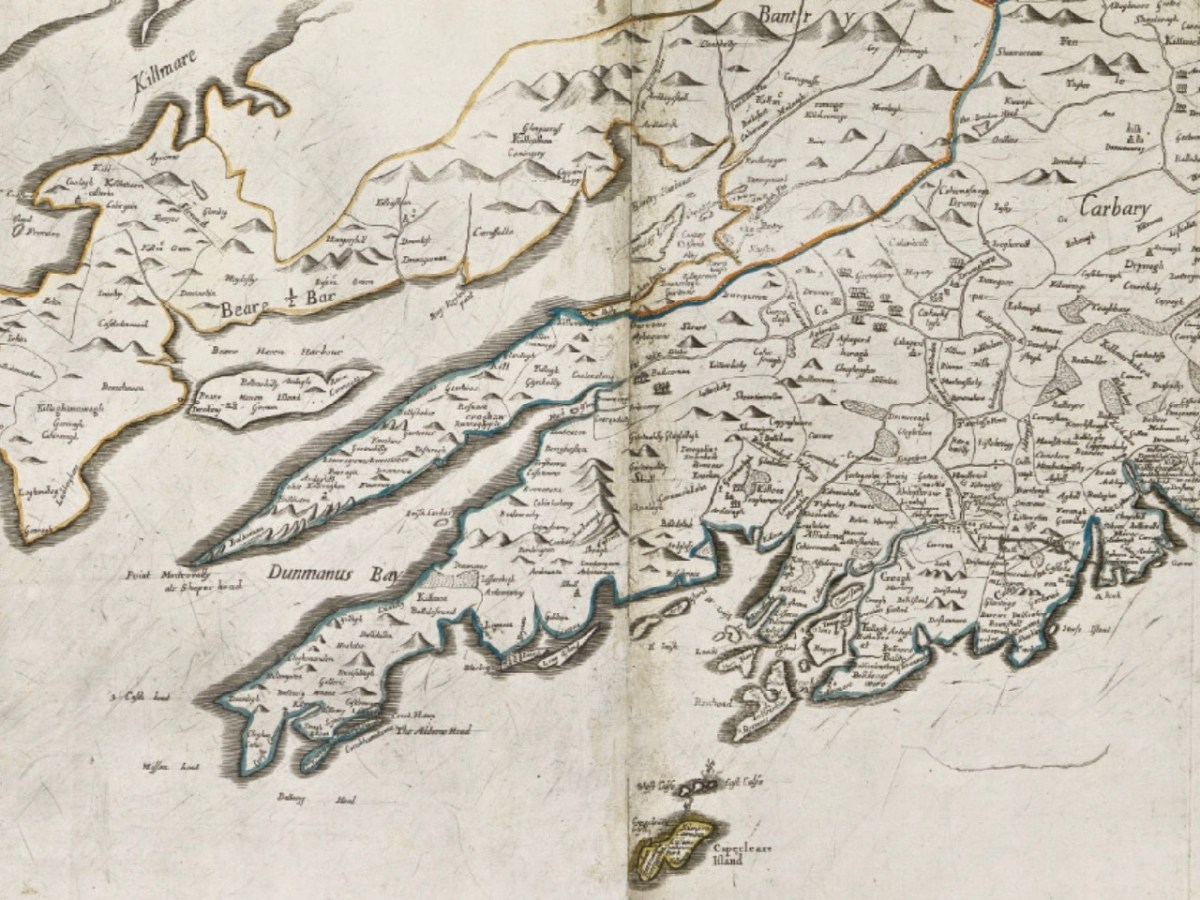
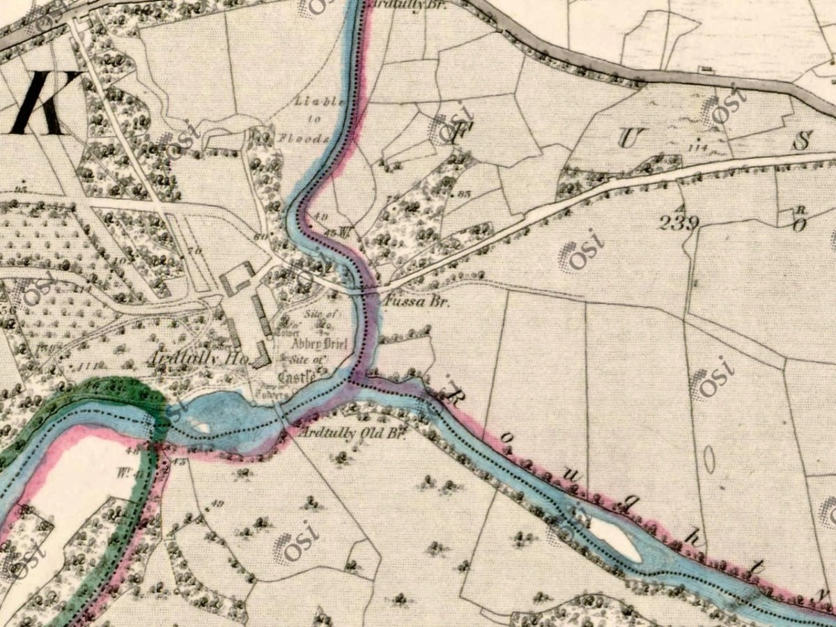
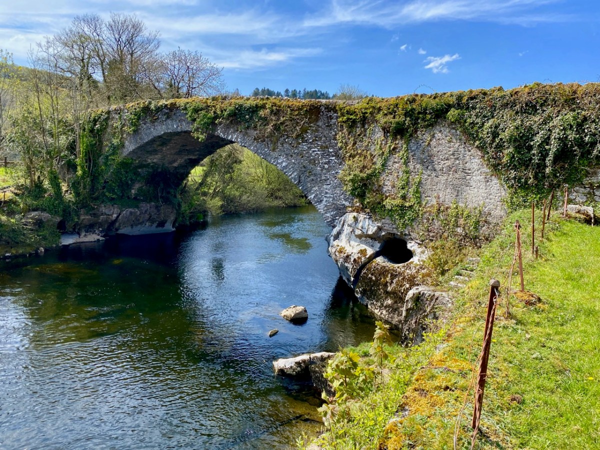
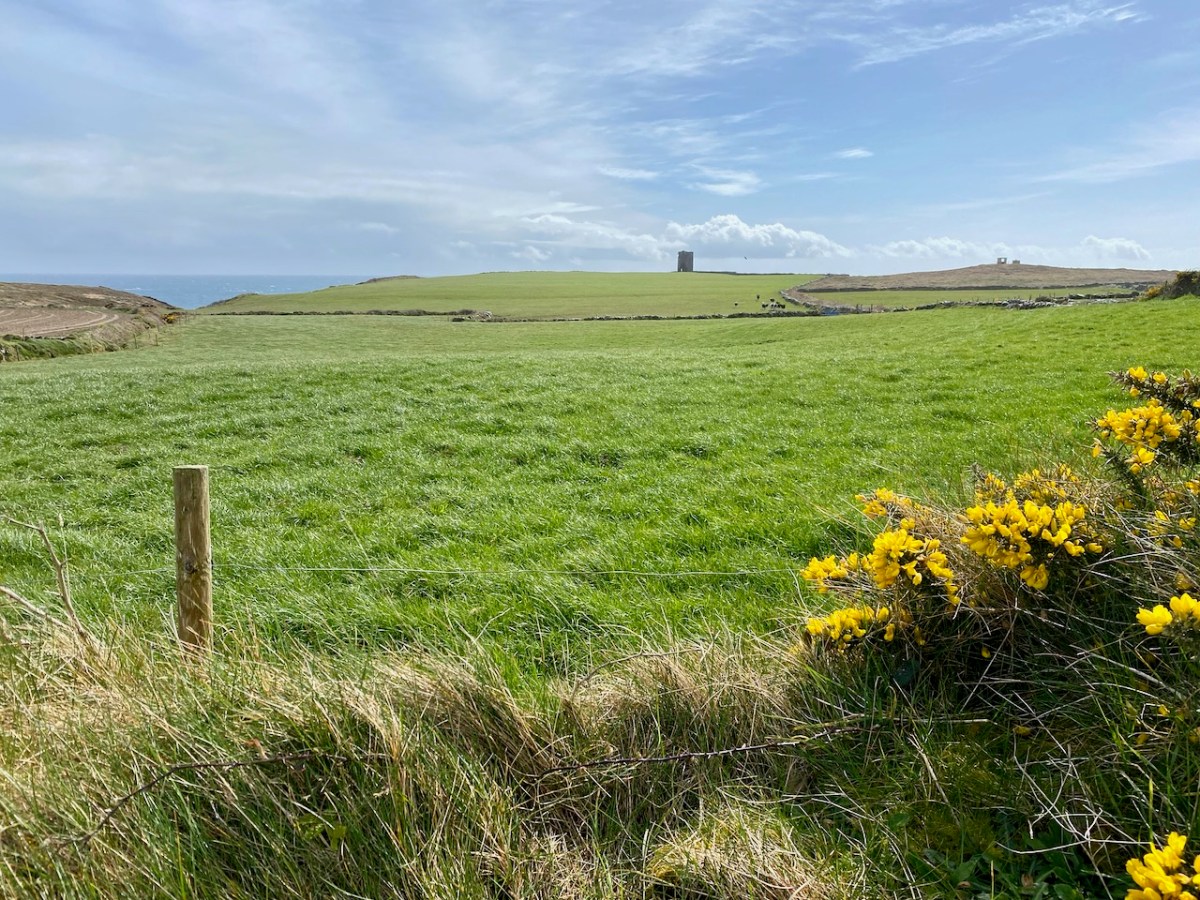
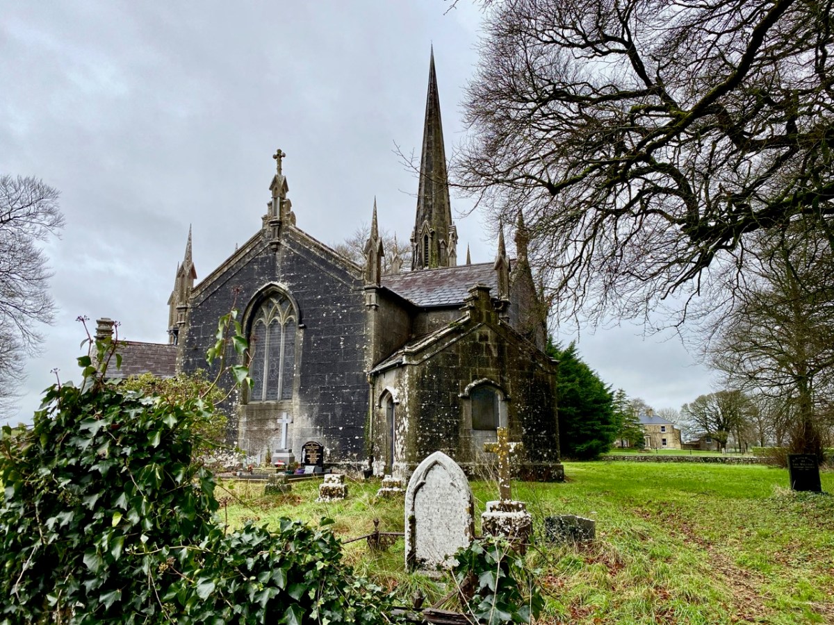
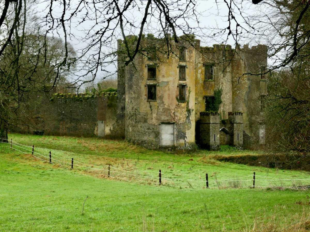
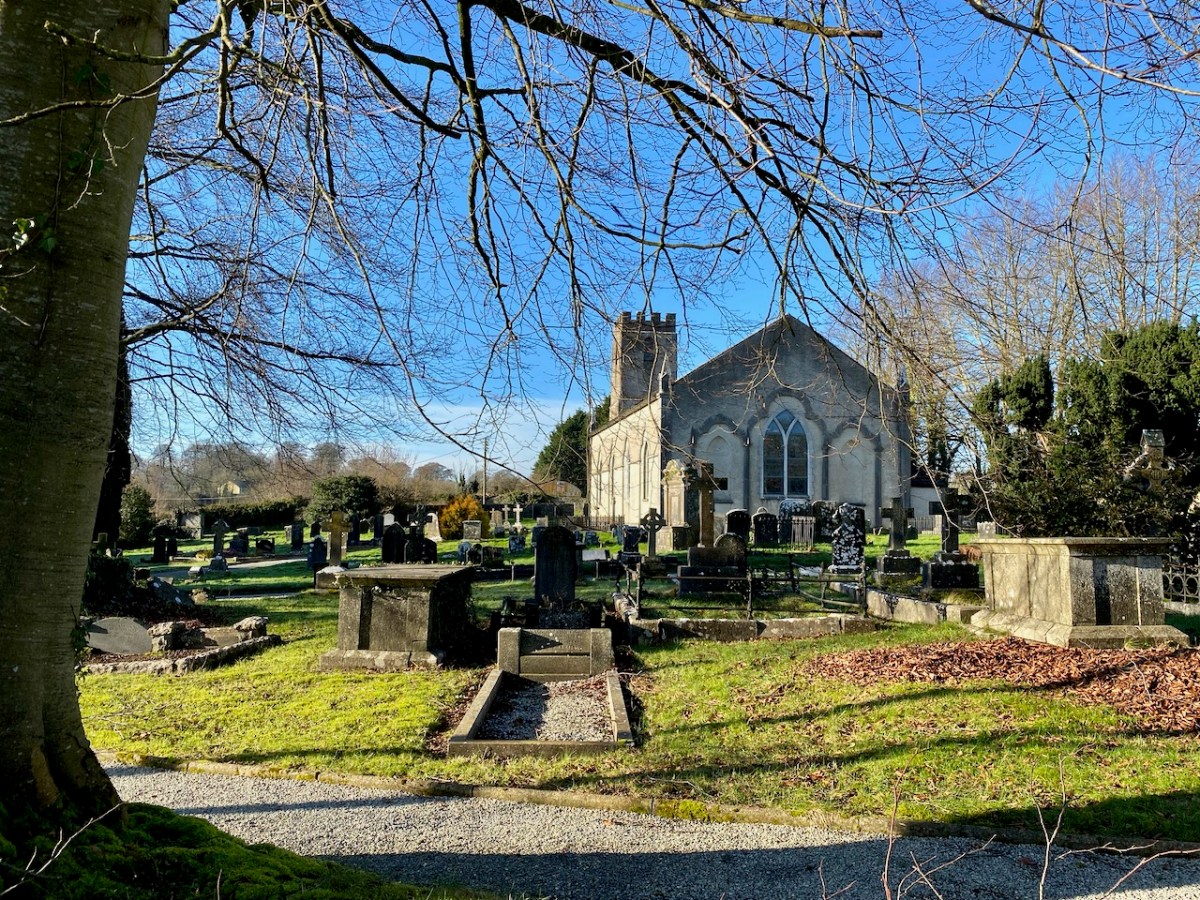
Examples from map extracts, showing the quality of reproduction which can be obtained from the site. These show our own West Cork, with local names that have a familiar ring: Ballidehub, Skull, Rofsbrinie, Affadonna. Having discovered this resource, we know this site will be invaluable in our history researches. Look out for my next post exploring the fine detail of the survey.

H V Morton’s Ireland – Part 1

In Search of Ireland was first published in 1930. It’s always interesting to read the accounts of an English traveller in Ireland. I used to be one once, but I’m now – happily – permanently here. And a citizen! I really don’t want to be anywhere else in this turbulent world.

I recently happened upon this book – and was immediately attracted by the cover, and the many photographs it contains, which date mainly from the 1920s. But let’s start off finding out who the author is.

Henry Canova Vollam Morton was born in Lancashire, England, in 1892. He was the son of Joseph Morton, editor of the Birmingham Mail, and followed his father into journalism. Morton served in the First World War and then worked in London, for the Evening Standard and the Daily Express. While with the latter he ‘scooped’ the story of the discovery of Tutankhamen’s tomb at Luxor in 1923 and reaped celebrity from that event. After this he started writing books, mainly about travel. Between 1925 and his death in 1979 some 55 books were published. His work appealed to a popular audience. The book about him, above – written after his death – suggests another side to this man: he had secretly been a Nazi sympathiser and another writer, Max Hastings, gleaned this entry from Morton’s private diaries of 1941 – “I am appalled to discover how many of Hitler’s theories appeal to me”.

Morton travelled in Ireland during the 1920s and wrote many articles about his journeys, which became the substance of this book. The book’s endpapers (top) present a map showing the route he followed in his car: he appears to have foolishly omitted the best part of Ireland – our own West Cork! The lower photograph (above) is simply captioned ‘Fair Day’ and is credited to a Dublin photographer (Thomas Mason). I cannot identify the location, although it seems a little familiar. In the book it is juxtaposed close to an account of Kenmare.

The upper photograph is titled ‘Market Day in Connemara’, and the lower one is ‘The Claddagh, Galway’. Most of the photographs are accredited to publishers or newspapers: H V Morton only provided a brace of pictures himself. They are below – ‘Cormac’s Chapel, Cashel’ and ‘An Archway in Killarney’:

From the dust-jacket of my nineteenth edition (which was published in 1945):

. . . In this book H V Morton describes a first visit to Ireland – not the tragi-comic Ireland of 19th century fiction, but the new Ireland. His charming book is the record of a motor-car tour right round the island, and in the course of his delightfully haphazard wanderings, he discourses on the Irish landscape, Irish people, Irish history, falls in love with Kerry and Connemara, attends a wake in Mayo, and crosses the hills of Donegal into Northern Ireland . . .

Frontispiece – In Search of Ireland by H V Morton

This is the first of two posts about H V Morton’s book. Next time around I will quote further from his text to try and give you an insight into this complex man, but also show you more of the illustrations from the book. None of us can resist looking so directly into the past!

From ‘In Search of Ireland’ – above: Connemara Girl

Ardtully and the Orpens

We took a few steps over the border – from Cork County to Kerry Kingdom – to search out some vestiges of architecture which relate to the Orpen family, which claimed it could trace its history back to the sixth century. Probably the best-known member of that clan – certainly in Ireland – was William Orpen (1878 – 1931). Orpen was a ‘naturally talented painter’ who spent much of the First World War as an officially commissioned artist, producing strikingly graphic images of that depraved conflict, including the Battle of the Somme, from direct experience in the trenches.

Upper – Zonnebeke 1918, and lower – Self portrait 1917 by Orpen. William Orpen’s grandfather was Sir Richard Theodore Orpen (1788-1876), Born and brought up in Dublin, this Orpen married Elizabeth Stack in 1819 and they built a large mansion on the site of an earlier castle and medieval monastery beside the meeting of the rivers Obeg and Roughty, in the townland of Ardtully, Co Kerry. In Irish, the name is Ard Tuilithe, meaning ‘high flood’.

The Orpen’s Grand Design project consisted of a 27-roomed two-storey dwelling with a tower, in what can be loosely described as the ‘Baronial’ style. The house was the family’s residence throughout the rest of Sir Richard’s life, and was inherited by one of his sons, Right Reverend Dr Raymond D’Audemar Stack Orpen, who was the last to live there.

It’s useful to compare the first OS 6″ map (top) – which dates from around 1840, prior to the construction of the new house, which was completed in 1847 – with (lower) the OS 25″ version, dating to the late 1800s. the house is clear there, as is the bridge over the rivers, built by an earlier Orpen generation: it bears the date 1786.

That’s the 1847 Ardtully House, above, in its heyday. The illustration is from The  County Seats of The Noblemen and Gentlemen of Great Britain and Ireland (published 1870). Here (below) is an aerial view of the dwelling within its immediate context. Below that is today’s view from the ‘Ardtully Old Bridge’.

The fine bridge once led to the Demesne; now it ignominiously ends in a field gate. The construction of it is worth a close look – there are some fascinating rocks and outcrops used in its foundation.

The house met its end in 1921 – a victim of IRA burnings. It stands, gaunt and crumbling: a symbol of a period in Irish history. It’s fully accessible, and the Kerry landscape is stunning on a wonderful sunny spring day. Well worth a visit.

The ‘Baronial’ style of architecture – sometimes called ‘Scottish Baronial’ is given short shrift by ‘The Irish Aesthete‘:

. . . Its architect unknown, the house is customarily summarised as being in the Scottish Baronial style but this seems more a flag of convenience than an accurate description. In truth Ardtully looks to have been a typically Victorian grab-bag of architectural elements, its most prominent feature being a castellated round tower and turret on the south-east corner. Looking towards the river Roughty, the entrance front features a porch topped by the Orpen coat of arms (now damaged), another attempt by Sir Richard to demonstrate his lineage. Inside the house looks to have contained the usual collection of reception and bedrooms ranged over two storeys, the roofline marked by a succession of stepped gables and dormers . . .

https://theirishaesthete.com/2017/08/07/ardtully/

Certainly, the house in its present state doesn’t present much grace. The architectural style was fairly short-lived, and was said to have its origins in France, with references to the Gothic Revival and romanticism. There are further examples extant in Ireland: the nearest (probably) is Blarney House, Co Cork, altogether a more elaborate project, designed and built by Sir Thomas Lanyon of Belfast for the Colthurst family of Ardrum. Surviving today – close to the well-known Blarney Castle, it was also completed in the 1840s.

I will finish this post with the only photograph I could find of Ardtully intact (courtesy http://www.sirwilliamorpen.com). Also have a look at this site.

The Signal Tower at Seven Heads

The series continues! In my previous posts on Napoleonic Signal Towers around the Irish coast (the posts are listed at the end of this one) I stated that 81 towers were built between 1803 and 1806, of which 20 were situated in the County of Cork. Today’s example is firmly within the chimerical district of West Cork. I use the word ‘chimerical’ in this sense: “. . . existing only as the product of unchecked imagination . . .” as there is actually geographically no such place as West Cork, even though we write about it all the time – and claim to live within it!

Today’s example has various names: Seven Heads (it’s sited on one of them); Leganagh (that’s the immediate locality) and Ballymacredmond, which is the townland name. It is also called Travarra on some maps and by local people: that is the name of a bay which is over a kilometre to the north-east (and refers to the Barry family who lived in the district). From this tower can be seen another to the west (Dunnycove or Galley Head – which I have written about here), and to the east the tower at The Old Head of Kinsale, here, which is in the present day the best standing example as it has been fully restored and is open to visitors as a historic structure.

The first two photographs in this post show the Seven Heads Tower which we visited a few days ago as part of a very full expedition which also took in holy wells, promontory forts, and some impressive medieval structures. We had the local help and expertise of guides Diarmuid Kingston and Tim Feen, and were accompanied by our friends Amanda and Peter Clarke, whom you have met frequently in our writings: Amanda runs the Holy Wells of Cork and Kerry blog. The pic above shows our group walking along the clearly defined old roadway which was built to access this signal tower.

We also had bovine company (above)! This is a constant when you are walking in West Cork. As you can see, our day was mixed, with dark storm clouds and high winds interspersed with good spells of sunshine. The varying light enabled some dramatic photography:

The defined trackway and various well-built stone walls – which I am assuming are contemporary with the tower – show what a significant undertaking this project was in the early years of the nineteenth century. One particular wall to the west of the tower is a noteworthy structure as it is high (between 1.5 and 2.5 metres in places) with some puzzling lintolled openings. The photograph below I have borrowed with thanks from Dominic Creedon as I was unable to get close due to very adverse weather.

You can make out this enigmatic wall on the Google Earth image, above. It is parallel with, and to the west of, the old access road, and forms the western boundary of three rectangular fields. I can find no information on this wall on any history or archaeology sites. I’m tentatively suggesting that it might have been constructed as part of the signal tower works to create a sheltered garden or external storage area: the towers accommodated crews on a rotating basis while in use, and the ‘garden’ – if that is what it was – could have provided a welcome source of fresh produce.

This remote site is also of interest as it has the ruins of two World War 2 Coastal Lookout Posts within a short distance of the Napoleonic-era Signal Tower. I haven’t been able to find out why two were needed here: I can only assume that the first did not prove to give sufficient surveillance. This twentieth century context and link is not unusual, as both lookout posts and signal towers effectively served the same purpose: to keep a watch out for enemy activity, and to alert the appropriate authorities if such activity was spotted. In reality, no such activity was ever reported during either conflict. Written records exist from all the WW2 LOPs (Lookout Posts). Here is an example page from the Seven Heads site, typical of all such records:

Above are various views of the Signal Tower: it is typical of such structures in general design and layout. Note the machicolation incorporated into the upper parapet: this is an echo of the design of medieval tower houses. The Seven Heads building is an open ruin and is slowly deteriorating. It is sure to crumble away over time. The Seven Heads Walking Trail takes you past the site.

Tailpiece: the pic below is taken from the Dunworley promontory fort, looking towards Seven Heads, and the final pic shows the dramatic sky which enhanced our visit.

The previous posts in this series can be found through these links:

Part 1: Kedge Point, Co Cork

Part 2: Ballyroon Mountain, Co Cork

Part 3: Old Head of Kinsale, Co Cork

Part 4: Robert’s Head, Co Cork

Part 5: Downeen, Co Cork

Part 6: Dunnycove

Part 7: Cloghane, Mizen Head

Part 8: Brow Head

Part 9: Glandore Head

Part 10: Toe Head

Chasing Steeples!

I can’t resist a good Irish story . . . I look out for them wherever we go. Our latest adventure was over in the northern part of County Cork, searching out a number of holy wells and anything related to them: we were led by Amanda Clarke: look at her website here. Regular readers will know that we often get together with Amanda and Peter to share our mutual interests in the Irish landscape. On this most recent expedition our path took us through Buttevant, and specifically to St John’s C of I church there, where Finola was keen to inspect the stained glass windows. The present church was built in 1826, and replaced an older one, established in the late 1600s.

As you can see, it has a tower with a fine, elegant spire. I was fascinated to read that the predecassor of this church is credited with the historical significance of having ‘given birth’ to the Steeplechase horse race.

. . . The term ‘steeplechase’ actually originated in a horse race first held in Ireland in the 18th century. As the name might suggest, that very first race took place in 1752 between two steeples in rural county Cork in the south of Ireland. At that time, church steeples were among the tallest buildings in the landscape. On that night, Cornelius O’Callaghan and Edmund Blake were at dinner at Buttevant Castle, having a good time. They made a bet between themselves to race from the steeple of Saint John’s Church in Buttevant to that of Saint Mary’s Church in the town of Doneraile . . .

.europeana.eu

Sadly, the Castle at Buttevant is no longer habitable. It was built around 1200 by Philip and William de Barry, on land seized from the Gaelic O’Donegan’s. The poet Edmund Spenser (1553 – 1599) lived in the nearby castle of Kilcolman for many years, and wrote his poem The Faerie Queene there. He also mentions Buttevant Castle in his writings:

“Old father Mole, (Mole hight that mountain grey
That walls the Northside of Armulla dale)
He had a daughter fresh as floure of May,

VVhich gaue that name vnto that pleasant vale;
Mulla the daughter of old Mole, so hight
The Nimph, which of that water course has charge,
That springing out of Mole, doth run downe right
to Butteuant where spreading forth at large,
It giueth name vnto that auncient Cittie,
VVhich Kilnemullah cleped is of old:
VVhose ragged ruines breed great ruth and pittie,
To travallers, which it from far behold”

Spenser is supposed to have derived the names ‘Mole’ and ‘Armulla’ from Kilnemulla or, more correctly Cell na mullach, an early name for Buttevant. It is possible that the castle here fell victim to the 20th century Irish Civil War, although I cannot find any detailed information on this. Accounts generally suggest that the building was in use until the 1920s and another reference states that there was a significant fire which destroyed the interior in 1936. Today, it is a windowless ruin which is not accessible to the public.

I’m sure you are all anxious to get back to the story of that first Steeplechase – and you want to know who won? When taking in any Irish tale you have to be patient . . . We simple don’t know who won! It’s not recorded anywhere . . . The account continues:

. . .The distance was around 4 miles, crossing countryside and rivers. The winner would be the first to touch the base of the steeple in Doneraile. The prize? More than 600 gallons of port. Sadly, history has not recorded who actually won the race. But that race has gone down in history, with steeplechase races becoming a tradition . . .

.europeana.eu

Obviously, we had to continue our expedition with a visit to Doneraile, to view the finishing post. That’s St Mary’s Church, above. The present building does not have a spire: I would have thought that such a feature would be essential if you were looking out for it from a distance of four miles, even with fairly flat countryside in between. However, I have now learned that the term ‘steeple’ correctly refers either to a simple church tower, or a church tower with a spire on it. Have a look at the terrain from a birds’ eye view:

Here I have copied extracts from the first edition 6″ Ordnance Survey map, showing the terrain in more detail around the start and finish points as it was noted in the early nineteenth century:

On this occasion we didn’t have time to explore the route itself: I wonder if anyone else has? Is it significant that the townland which surrounds Doneraile Church is known as Horseclose?

In the present day, of course, Steeplechasing has an equine life of its own. Supposedly, the very first recognised English National Steeplechase took place in March 1830. In 1839, the British Grand National Race at Aintree was established, a race that is still run today over roughly the same distance of around 4 miles. Here’s a poster for the Irish equivalent – at Fairyhouse – on Easter Monday 1916, a very significant date in the Irish calendar . . .

While on the subject of the Aintree event, we must mention the most famous racehorse of all time (probably) who holds the record for winning the Grand National Steeplechase thrice – in 1973, 1974, and 1977 and coming second in 1975 and 1976: Red Rum.

. . . Red Rum was bred at Rossenarra stud in Kells, County Kilkenny, Ireland, by Martyn McEnery. Following a canter at Aintree Racecourse the day before the 1978 Grand National he was retired. The news of Red Rum’s retirement was the lead story on that night’s 9 O’Clock News on the BBC and was also front page news of the following morning’s newspapers. Red Rum had become a national celebrity, opening supermarkets and annually leading the Grand National parade for many further years. His likeness graced playing cards, mugs, posters, models, paintings, plates and jigsaw puzzles. Several books have been written about Red Rum, The horse helped launch the Steeplechase rollercoaster at Blackpool Pleasure Beach in 1977 . . .

Wikipedia

Yes, this is it: the Steeplechase Rollercoaster! You can join in the full experience here. Hopefully my account has enlivened your day: I’m sure there are many of you out there who are familiar with this tale and can, perhaps, add to it? I’ll finish with a view over Buttevant taken on our journey – an atmospheric winter morning.

With thanks to The Guardian for the header pic of the Aintree Grand National

Glencree

On our most recent trip to the east of this beautiful country – County Wicklow – we experienced the first snows of winter lining the edges of the remote roads that penetrate the mountains here. It’s a magnificent although often bleak wilderness: immersed in such vast, empty tracts of moorland you feel as far away from the civilised world as you can get without leaving these shores, yet Dublin city itself is just a stone’s throw distant – another of Ireland’s remarkable idiosyncrasies.

The 1790s was an era of conflict and change across the western world. News of independence in America and revolution in France inspired Catholic and Presbyterian communities in Ireland. In 1791, the Society of United Irishmen was founded, with the hope of uniting all religious persuasions in pursuit of Irish independence. In the late 18th century, the wild, inaccessible Wicklow mountains provided ideal shelter for insurgent groups who set out to disrupt British and loyalist forces. The deep valleys and fast strongholds of the natural terrain hid rebels from reprisals long after the United Irish forces had succumbed in other areas of the country. This group of ‘outlaws’ was so troublesome that the authorities resolved to forge a road across the impenetrable landscape:

. . . Construction of the road began in 1800 through parts of the county “infested with insurgent plunderers”. The road commenced from Rathfarnham in Dublin to Killakee and continued over the Featherbed Mountain to Glencree, where a major camp was formed. There were four work parties of fifty men each. Soldiers were paid a shilling a day and overseers earned five shillings daily; but very few local civilians could be induced to accept work and no “dependence” was placed on those that did . . .

http://www.glencree.ie

The Sally Gap and Wicklow Gap roads built by the British are still the main roads through the Wicklow Mountains today. The network of military barracks that they link are still to be seen at Glencree, Laragh, Glenmalure, and Aughavannagh. Intended to stop local unrest, ‘Wicklow Military Road’ is today a scenic reminder of the dramatic events of that time.

Built originally as a British Army barracks, the settlement at Glencree has gone through several mutations. This photo from the nineteenth century (above – courtesy Glencree.ie) shows St Kevin’s Reformatory, established on the site of the then abandoned barracks in 1858 and running through to 1940. One suspects it was a grim place: there are few records existing. It housed up to 300 boys.

Many of the buildings survive today, when Glencree has become the home of The Centre for Peace and Reconciliation. Founded in 1974 in response to the conflict in Northern Ireland, Glencree played an important role in the Irish Peace Process, bringing together those in conflict for confidential dialogue and helping to build relationships across divides. This Irish-based, independent, non-governmental organisation has evolved its expertise on a global basis, and this has been shared in more than ten conflict and post-conflict countries around the world.

There is so much to discover in Glencree. You may be surprised – as we were when we first visited – to come across a German cemetery. Set in a landscaped former quarry, the German Military Cemetery is one of the many German war cemeteries in Western Europe. The bodies of 134 German military servicemen and civilians are buried here, dating from both World Wars. It is a secluded, peaceful garden of memory, marked by art and poetry, and kept in immaculate order.

You could ponder at length on this little graveyard: there are many historical connections. After the nearby Reformatory School closed, the buildings were used for a time as a refugee centre for German children following the bombing of Dresden in 1945. In 1954 the German Legation sent a letter urging the Irish authorities to give consideration to a single cemetery for German war dead in Ireland. These would include German soldiers and sailors washed up on Irish beaches, wrecked or crash-landed after being shot down during the Second World War. Six graves at Glencree remember German soldiers who died in British prisoner-of-war camps in Ireland during the First World War. All the bodies were re-interred here after this cemetery opened in 1961. In pre-Covid times, there would be a series of commemorative events in Glencree every November to pay respect to all victims of all wars.

There is added interest, for us, at Glencree: a grotto established (as far as I can ascertain) in the Marian Year of 1954, dedicated to Our Lady of Reconciliation. It is reached from a path and steps which descend into the stream valley below the church.

The ‘cave’ is much visited, and – as in many other locations in Ireland, particularly holy wells – petitions for the good health of individuals, and personal relics are in evidence.

Glencree is a place apart. You might, as did we, come across it by accident and get drawn into its many strands. You should certainly visit this secluded haven of tranquility in Wicklow, and consider the implications of its transition from a base of an occupying military force in a wilderness haunted by outlaws to a modern-day centre of reconciliation.