New Court Bridge – A Hidden Wonder: Update

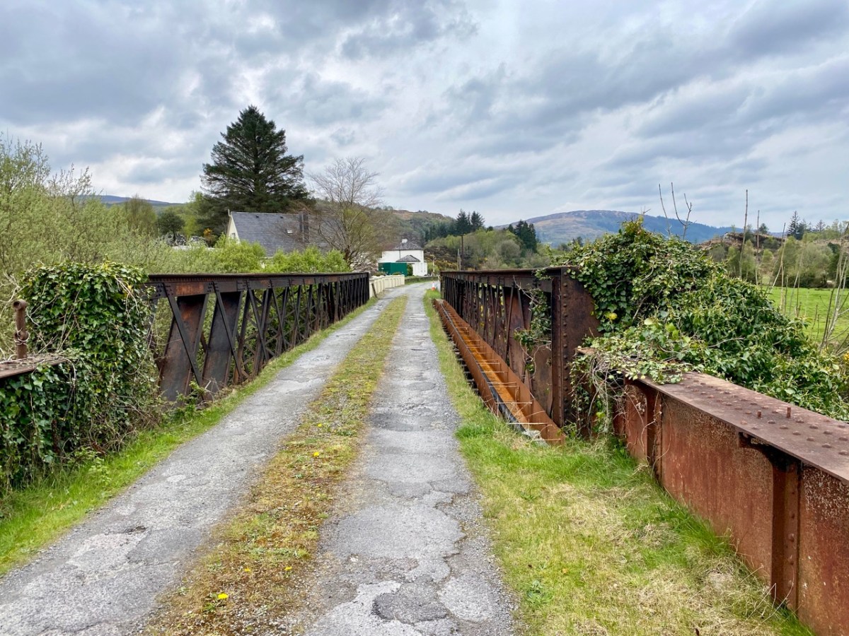
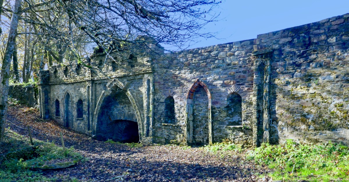
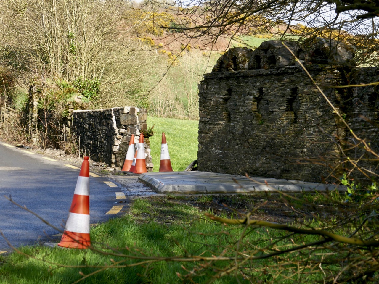
In 2019 I reported on the damage to the New Court Bridge and discussed why that was serious – the curious wall that we pass so often turned out to be a unique and important remnant of an eighteenth century designed landscape. The Good News is that the damage has been repaired, excellently, by Cork Co Council – this is what it looks like now (above).

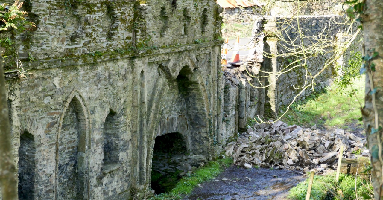
This (below) is what it looked like in 2019. What follows is what I wrote then. T(he repair work was done in 2020 and I have been meaning to update the post since.)
New Court Bridge has been badly damaged recently. Why does that matter?
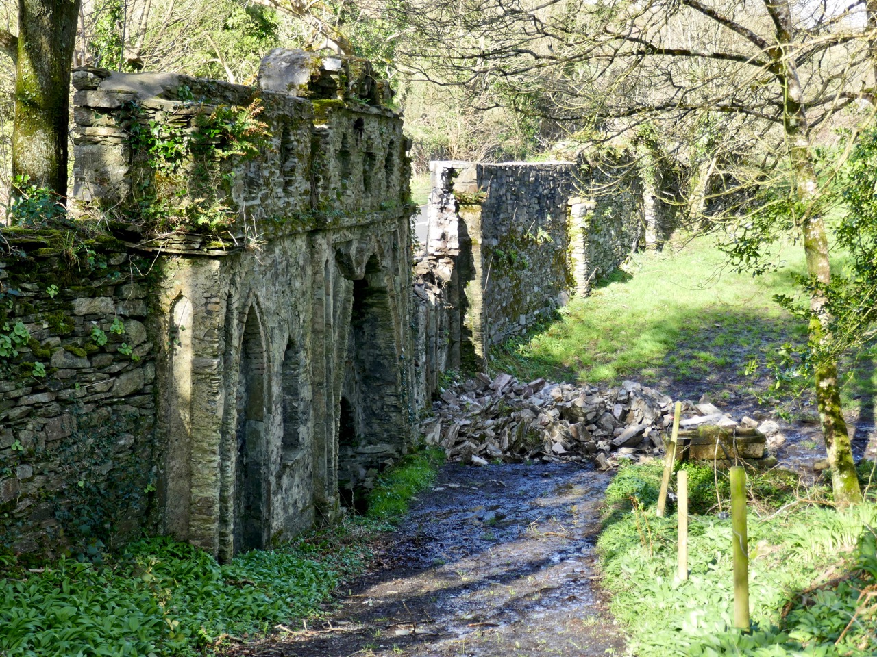
The damage from behind the wall. Now you can see that this is a bridge – but a most unusual one!

Most people driving by this dangerous bend, where the Ilen River meets the N71 just west of Skibbereen, notice the funny arches on top of the wall, but don’t think twice about them. It’s too risky to stop and take a close look, after all. Most people, in fact, probably don’t realise that they are driving over a bridge, although that’s a bit more obvious now as the County Council have put in one of those concrete pads that are going in front of all bridge walls at the moment (see lead photograph).

Water under the bridge

Does anyone know how the damage happened? Did a car take the bend too fast and hit the wall? Did the concrete work loosen the structure of the wall? Let us know if you have information. I hope nobody was hurt. All I know is that one morning I was driving into Skibbereen and there was a chunk of the wall – gone! [EDIT: Apparently a young and inexperienced driver took the bend too fast and hit the wall. He was not badly hurt, thank goodness.]
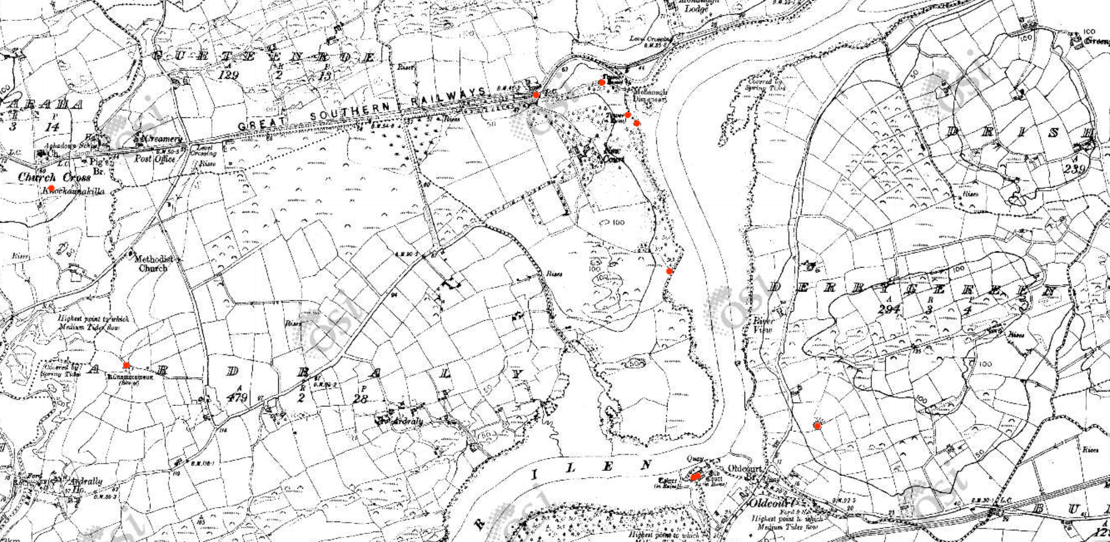
Early Ordnance Survey map of the New Court Estate, bounded by the Ilen River on the east and south. The red dots indicate the locations of the belvederes (marked as towers) and the bridge

We tend in Ireland to think of old estate walls like this one as ‘Famine Walls’, erected during the mid nineteenth century as work projects. But this wall was far older than that, and it hid a secret – an elaborate facade on the back with decorative arches and niches. It was part of the plan for a pleasure garden undertaken by Henry Tonson at his newly acquired ‘seat’ which he called New Court, to distinguish it from Old Court, across the river. Originally, there was a matching wall across the road, but it was demolished in a truck accident many years ago. EDIT: I misinterpreted this – rather than a matching wall across the road, in fact there were matching arches on either side of the road, west of the entry to New Court. Both are now gone, one at least due to the aforementioned truck accident. Thanks to Sean Norris for this information.
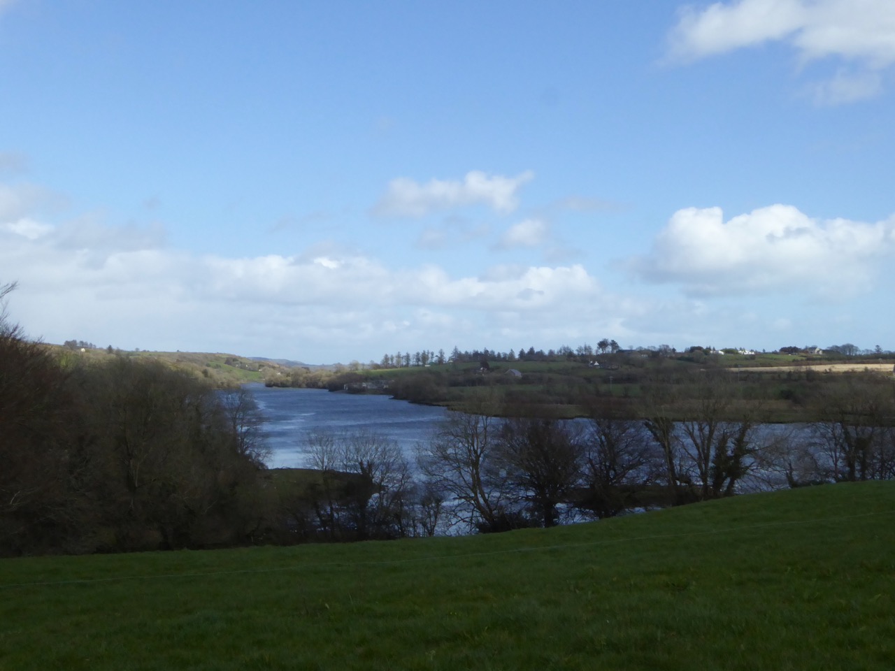
The Ilen floats by – a navigable river was a must for transporation to and from these early estates

The Tonsons had arrived in the 1660s. According to Burke’s Peerage, Major Richard Tonson received a grant of land in the county of Cork from Charles II for his distinguished exertions in favour of royalty during the Civil Wars and purchased the castle and lands of Spanish Island, in the same county. If he built anything on Spanish Island, just off Baltimore, no traces remain, and indeed, although strategic in marine terms at that time, it is hard to imagine how the island, mostly bare rock, would have made for comfortable accommodation.

The stump of one of the belvederes, overlooking the river

It appears he, or his son, Henry, bought the land on the west bank of the Ilen and Henry set about establishing his dwelling there. This included building the wall around the estate. Eventually, and we are not sure when, one of the Tonsons (over time they acquired a title, Lord Riversdale) developed the area around the house as a vast pleasure garden.
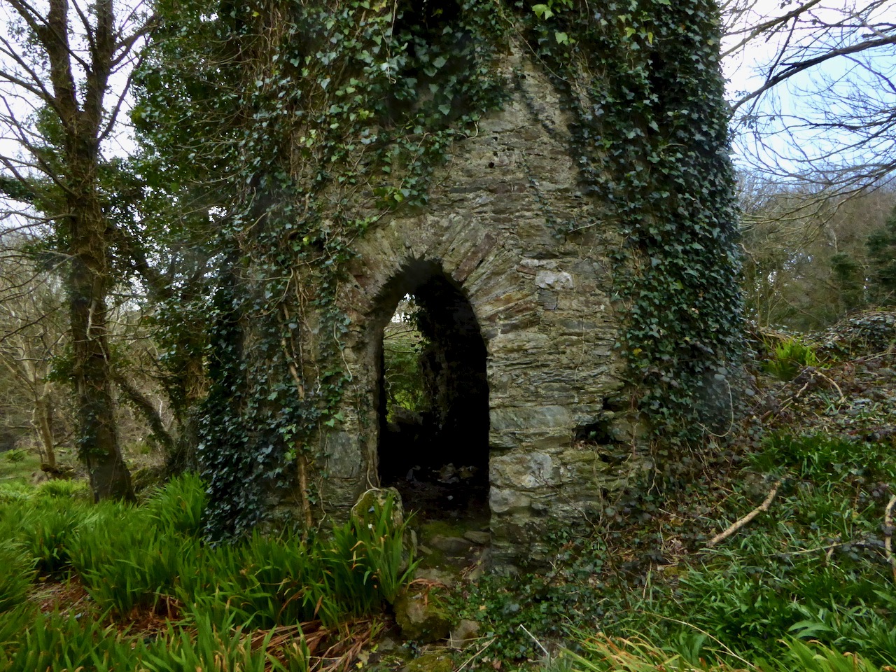
The most complete belvedere. This one also functioned as a dovecote

The fashion for designed landscapes is an eighteenth century phenomenon. As I said in my post on belvederes, in that century

. . . a different style of landscaping. . . dominated garden design in Britain, pioneered by William Kent and Charles Bridgeman and reaching its peak in the work of Lancelot ‘Capability’ Brown. The effect they strove for was naturalistic (as opposed to natural) – a planned layout that mirrored but enhanced their idea of a ‘wild’ and romantic landscape. Large expanses of grass, strategically placed lakes and ponds, plantings of carefully chosen tree and shrub species, and clever little structures such as temples, summer houses and belvederes all combined to delight the eye, create a romantic mood and, of course, attest to the taste and wealth of the owner.
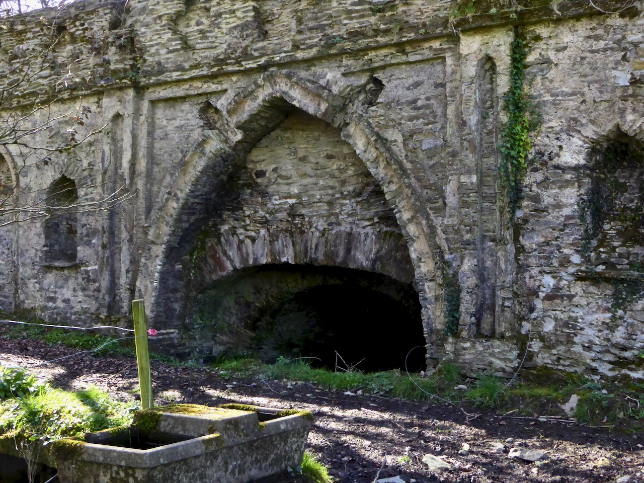
A closer look at the construction of the bridge. It would be fascinating to attempt a reconstruction drawing. The niches may well have held statuary or decorative urns

Although the grand houses at the centre of the estate have now gone (see this photograph in the National Library for a glimpse of the last one), there is lots of evidence still of such a designed landscape. Originally lawns sloped to the river – no need to build artificial ponds as the Ilen provided the perfect watery scene. Little round towers were built to be used as gazebos or belvederes (and in one case a dovecote): three in all, of which the stump of one and a fairly complete second are still to be seen. The bridge with its elaborate facing was the crowning glory of the estate wall.
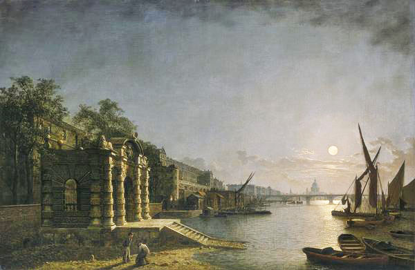
The York House Water Gate as it would have looked originally on  the Thames (Wiki Commons)

What did the bridge wall look like originally? We don’t know, but Peter Somerville-Large in his Coast of West Cork says it was modelled on the ‘water gates at Hampton Court’. I can’t find any images of this online, but I have found the water gate at York House, which is still there. It was built as a ceremonial landing place on the Thames (above) although it is now a long way from the river.
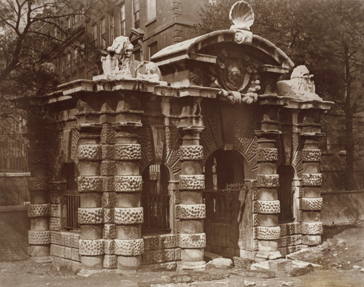
The York House Water Gate in an early photograph (www.royalacademy.org.uk/art-artists/work-of-art/O18442 Credit, Royal Academy of Arts / Photographer William Strudwick )

Of course, it is larger and more elaborate, but you can still see the basic shape, with its curved arch on top and the arched niches in the wall. The arches at New Court may have been plastered, perhaps, or faced with some material. The York House Water Gate dates to 1626 and it’s all that left of the York House estate – the Tonsons may well have been familiar with it or with similar water gates along the Thames. Building such an edifice would have been aspirational, indicating a desire to impress.
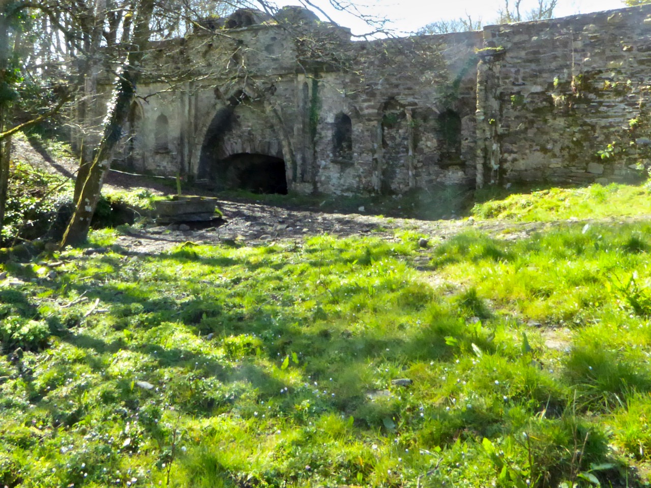
This was what it looked like in 2016 – taken by a camera with spots on the lens

The likelihood, therefore, is that the bridge at New Court is most probably eighteenth century, and early eighteenth century at that – about three hundred years old. We don’t have a lot of structures in West Cork dating to then. Surely it’s worth preserving those that still exist? I am hopeful that the National Monuments Service (they’ve been alerted and have notified their Monument Protection Unit) will come riding to the rescue. I’ll be keeping an eye on it all – you do too. But note that this is private property, so no walking or driving through the gates without permission.

UPDATE, MARCH 20, 2019. This notice was received from the National Monuments Protection Unit: “Cork County Council (Bridge Management) have indicated it is prepared to repair the wall as a Reactive Maintenance Incident and will ensure repairs meet any necessary heritage requirements.”
H V Morton’s Ireland – Part 2

Morton’s book – dating from December 1930 – deserves a further look as a view of Ireland from an English perspective back in the early part of the last century (here’s the first part of this review). What was going on, historically, in the young Free State at that time? Firstly, I was surprised to learn that there was a Governor-General (Seanascal Shaorstát Éireann) whose role was to be ‘the British monarch’s representative in Ireland’. While this was largely a ceremonial role (and was paralleled in Canada and Australia at the time), this continuing official link with a King was understandably unpopular. The first holder of the post was former Irish Parliamentary Party MP Timothy Healy, a Bantry man. Healy held the role between 1922 and 1928, and it was taken over by James McNeill, who retained it until 1932 – there’s a British Pathé newsreel on McNeill’s inauguration (below). The last holder of the office was Domhnall Ua Buachalla: In December 1936, when King Edward VIII abdicated, the Irish cabinet took the decision to abolish the governorship-general and emphasise the separation of the country from any sense of British heritage.

Through the 1930s, Ireland projected its image as a newly created modern state, but also consciously presented itself romantically as a pastorally idyllic country with a rich history and esoteric folk culture. This, of course, cast an eye on the potential for attracting tourism, and Morton’s book concentrates on this heritage, particularly in the choice of photographs. He writes on this relationship:

. . . It is one of Ireland’s many misfortunes that the common people of England have never been taught anything about her, have never shown any interest in her and, apart from a small section of well-to-do people, have never travelled in this beautiful island. I would like to hope that this book of mine may help, in no matter how small a way, to encourage English people to spend their holidays in Ireland and make friends with its irresistible inhabitants. Friendship and sympathy between two such warm-hearted and kindly people would be a fitting end to centuries of political misunderstanding . . .

H V Morton – In search of Ireland 1930

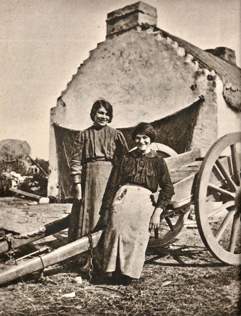
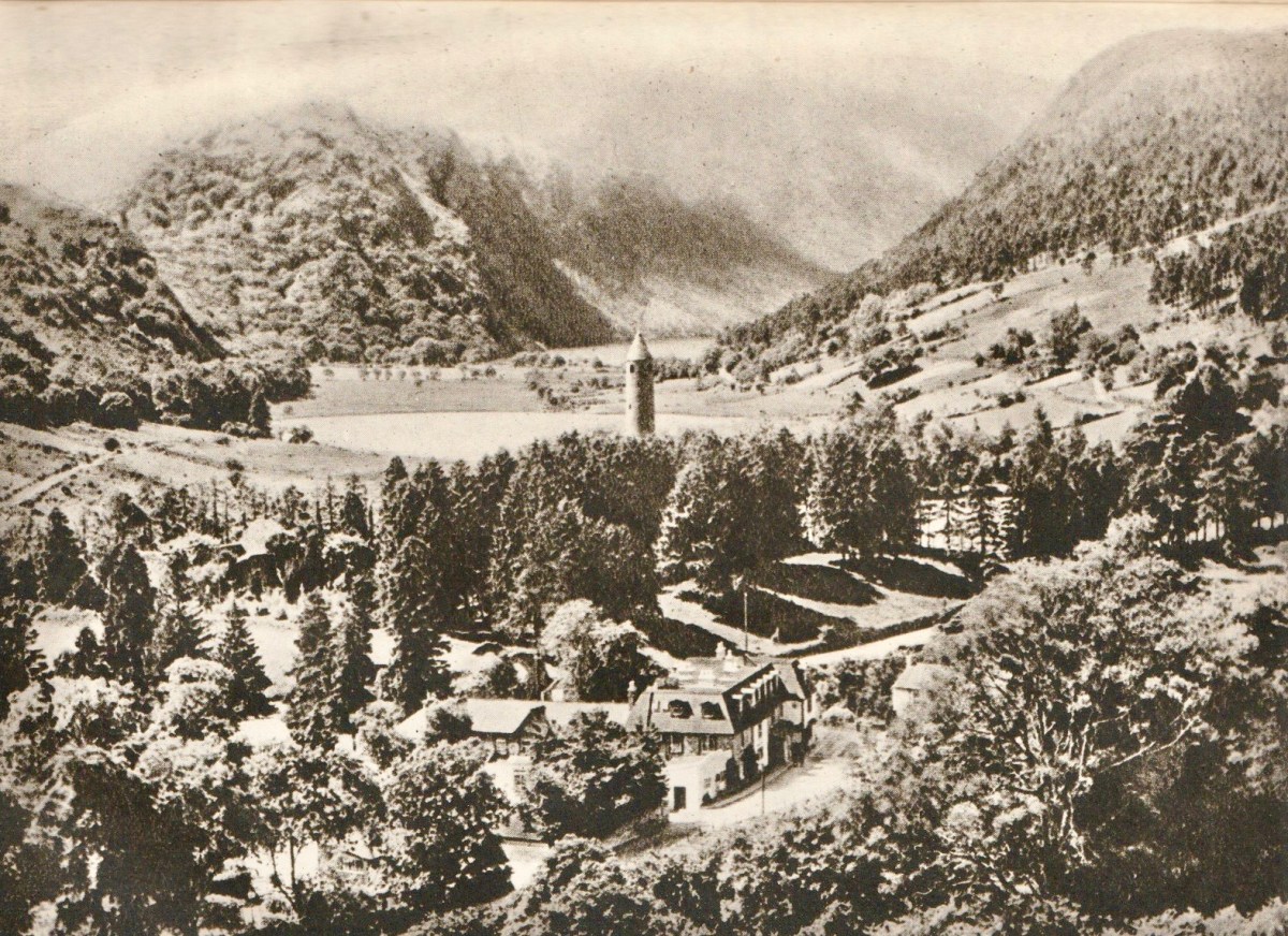
From ‘In Search of Ireland’ – above: Two Connemara Girls. Below: Glendalough.

Today, the British obsession with its nationalist roots – which we are calling ‘Brexit’ – threatens all the compromise and hard work which has been expended on positively and peacefully resolving the ‘Irish Question’ over the past few decades. Interestingly, in 1930, H V Morton had something to say about Northern Ireland, which has some uncanny resonances with today’s imminent problems:

. . . It happens that when you are in Donegal you can look south into Northern Ireland, and when you are in either Londonderry, Tyrone or Fermanagh you can look north into Southern Ireland! This is no doubt an excellent joke except to those who have to live in it! It must be exasperating to find yourself barred by a customs barrier from the country town in which you have always enjoyed free trading. But as long as it profits the Free State to build up her enterprise behind a tariff wall, or as long as Northern Ireland remains outside the Free State (which, I am told, will be for ever), this inconvenient and costly boundary with its double line of officials will remain, the only frontier in the British Isles . . .

H V Morton – In search of Ireland 1930

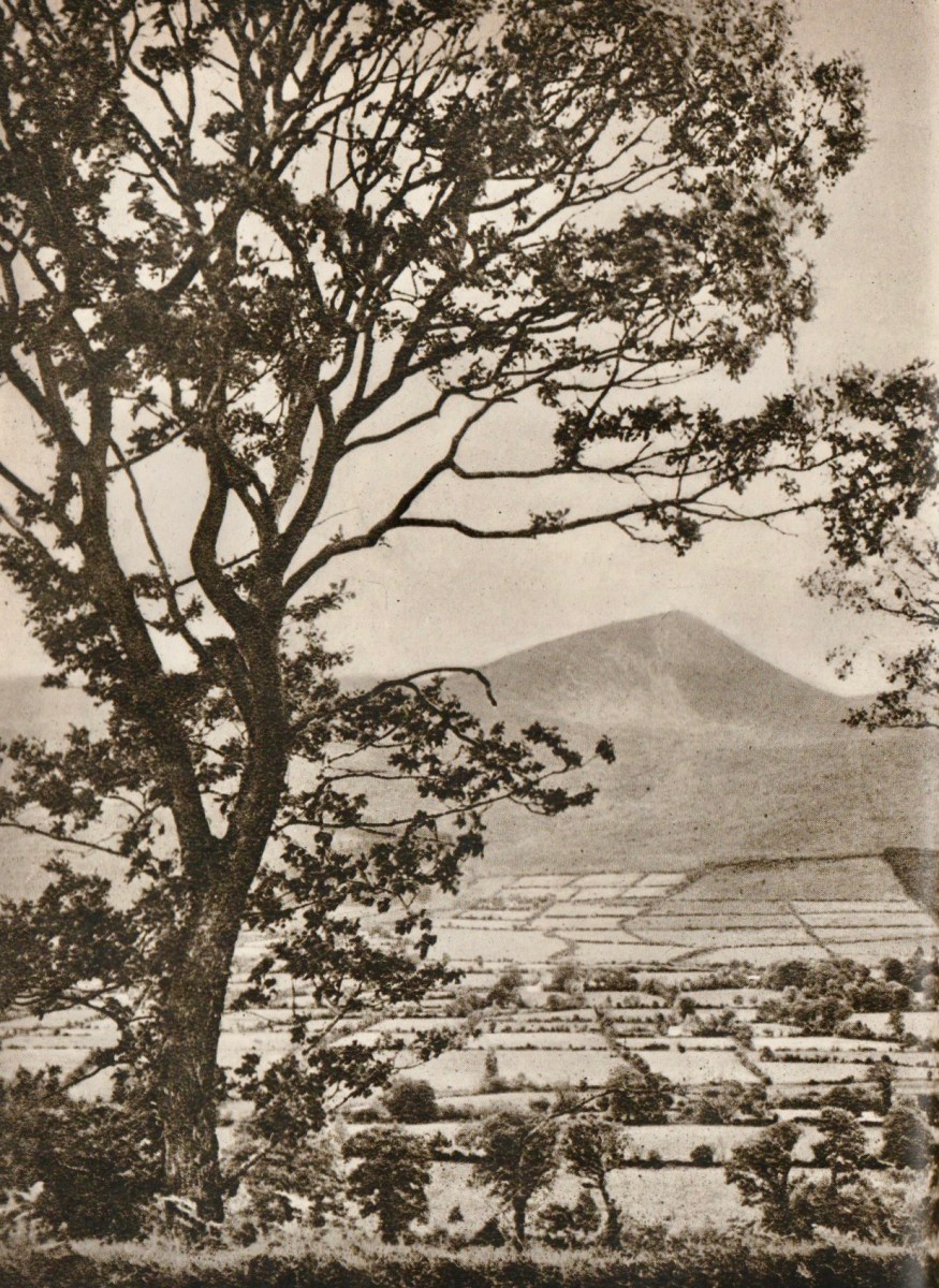
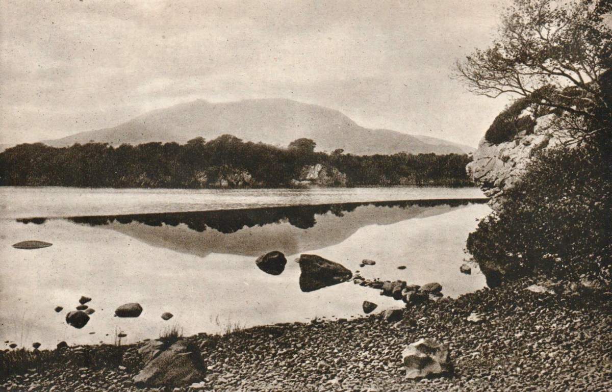
From ‘In Search of Ireland’ – above: Plain of Tipperary. Below: Middle Lake, Killarney.

Having read my way through Morton’s book on Ireland (which I picked up on a stall in Skibbereen market), I am left with very mixed feelings about its author. I am partly influenced, I think, by what I have noted elsewhere about the man and his life. In particular, picking up on his apparent sympathy with the Nazis during the Hitler years, but also becoming aware that he and his second wife, Violet Mary (they married in 1934) emigrated to South Africa after the Second World War, became citizens, and apparently endorsed Apartheid.

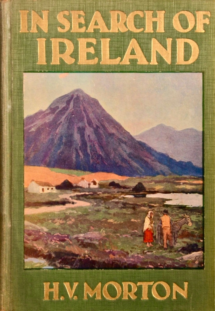
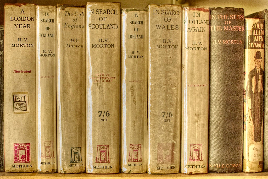
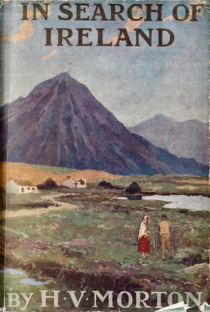
Above: the cloth cover of the sixth edition of Morton’s Ireland book, dating to 1934. Below: H V Morton is still a much collected writer.

Ultimately, I feel that Morton doesn’t have the depth I’m looking for in any respected scribe on Irish matters. He is, foremost, a journalist – and crafts his words for maximum effect. Perhaps this is unkind, but his views seem to me almost theatrical: taking a romantic stance that will appeal to tourists, he sets a tone that is slightly imbued with a sense of superiority, although he does not hesitate to be critical of the British position as he saw it at the time of writing. I am quoting his last paragraph – ‘saying good-bye to Ireland’ to try to defend my stance, which I fully accept is just a personal viewpoint.

. . . When my feet first trod Irish soil I felt that I had come to a magic country and now, as I said good-bye, I knew it truly as an enchanted island. That minor note which is like a vibration in the air, something that lives in the light and in the water and in the soil, runs through every Irish thing, but, like the cry of a bat, it is too high to be heard. But a man is conscious of it everywhere. Ireland of the Sorrows is no more. The sun sets, and the hill grows dark. I know that in the West at this moment men are raking the ashes of the turf fires. In thousands of little white cabins they are kneeling before the wide hearth, piling up the ashes around the red glow, and in the morning there will be new light. The shadows have fallen over the fields of Meath. The air is grey with night. St Patrick rises up over the mounds of Tara, his hands uplifted. And in the silence and the darkness I listen again for that hidden music. It is not for my ears. I hear nothing but the night wind in the grass; and I say good-bye to Ireland . . .

H V Morton – In search of Ireland 1930

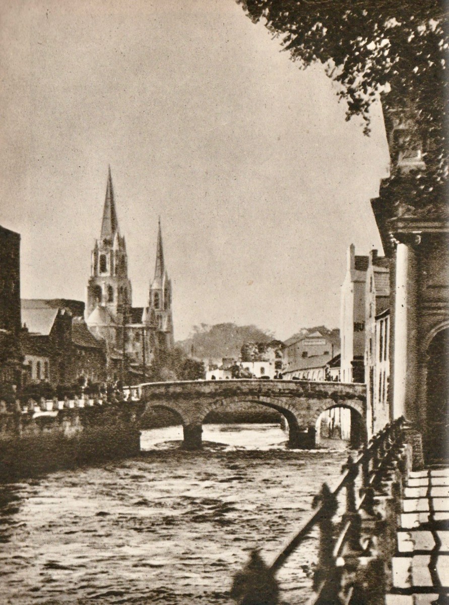
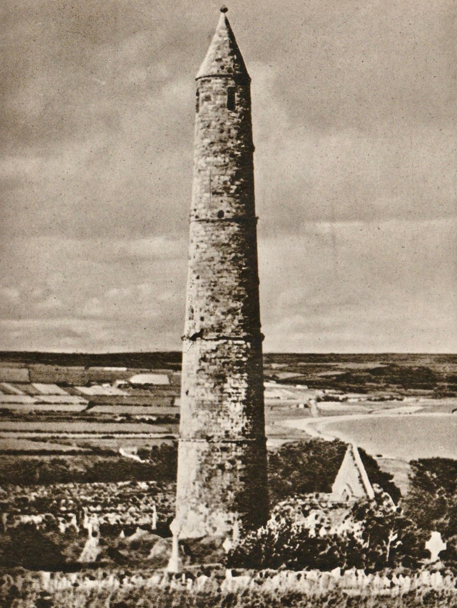
From ‘In Search of Ireland’ – above: Cork South Bridge. Endpiece: Ardmore Round Tower, County Waterford – 12th century.

Don’t be put off by my own standpoint. This book is an important Irish travelogue and sets a scene of a particular time in Irish history (ninety years ago) viewed from a close neighbour’s perspective.

H V Morton’s Ireland – Part 1

In Search of Ireland was first published in 1930. It’s always interesting to read the accounts of an English traveller in Ireland. I used to be one once, but I’m now – happily – permanently here. And a citizen! I really don’t want to be anywhere else in this turbulent world.

I recently happened upon this book – and was immediately attracted by the cover, and the many photographs it contains, which date mainly from the 1920s. But let’s start off finding out who the author is.

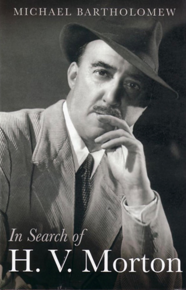
Henry Canova Vollam Morton was born in Lancashire, England, in 1892. He was the son of Joseph Morton, editor of the Birmingham Mail, and followed his father into journalism. Morton served in the First World War and then worked in London, for the Evening Standard and the Daily Express. While with the latter he ‘scooped’ the story of the discovery of Tutankhamen’s tomb at Luxor in 1923 and reaped celebrity from that event. After this he started writing books, mainly about travel. Between 1925 and his death in 1979 some 55 books were published. His work appealed to a popular audience. The book about him, above – written after his death – suggests another side to this man: he had secretly been a Nazi sympathiser and another writer, Max Hastings, gleaned this entry from Morton’s private diaries of 1941 – “I am appalled to discover how many of Hitler’s theories appeal to me”.

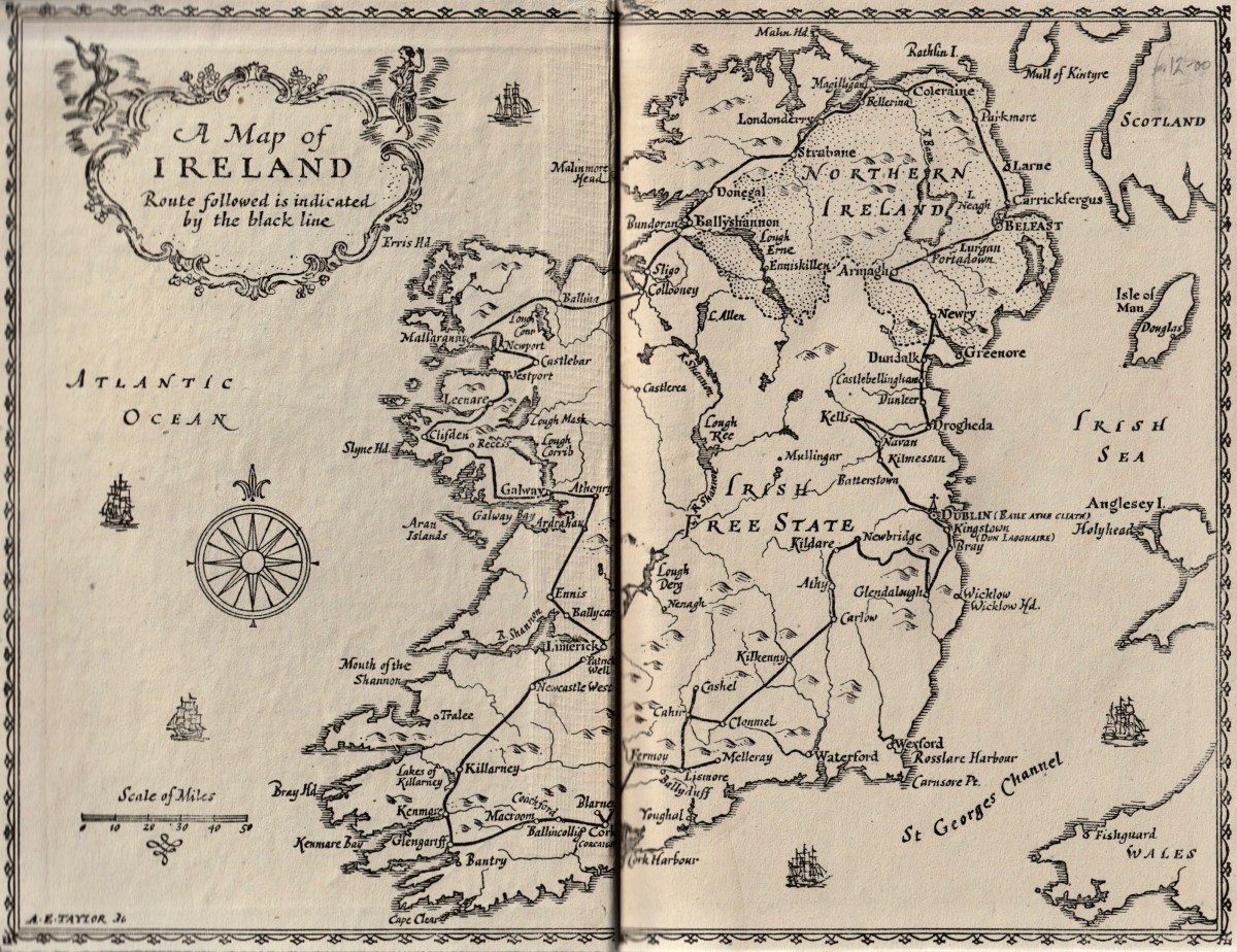
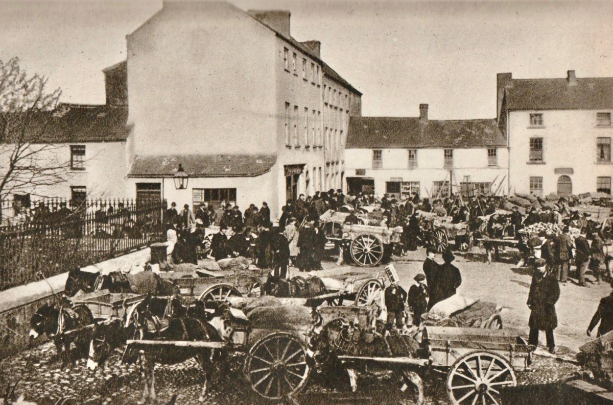
Morton travelled in Ireland during the 1920s and wrote many articles about his journeys, which became the substance of this book. The book’s endpapers (top) present a map showing the route he followed in his car: he appears to have foolishly omitted the best part of Ireland – our own West Cork! The lower photograph (above) is simply captioned ‘Fair Day’ and is credited to a Dublin photographer (Thomas Mason). I cannot identify the location, although it seems a little familiar. In the book it is juxtaposed close to an account of Kenmare.

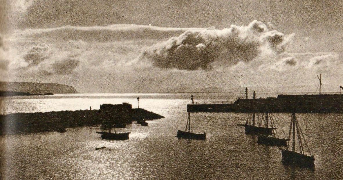
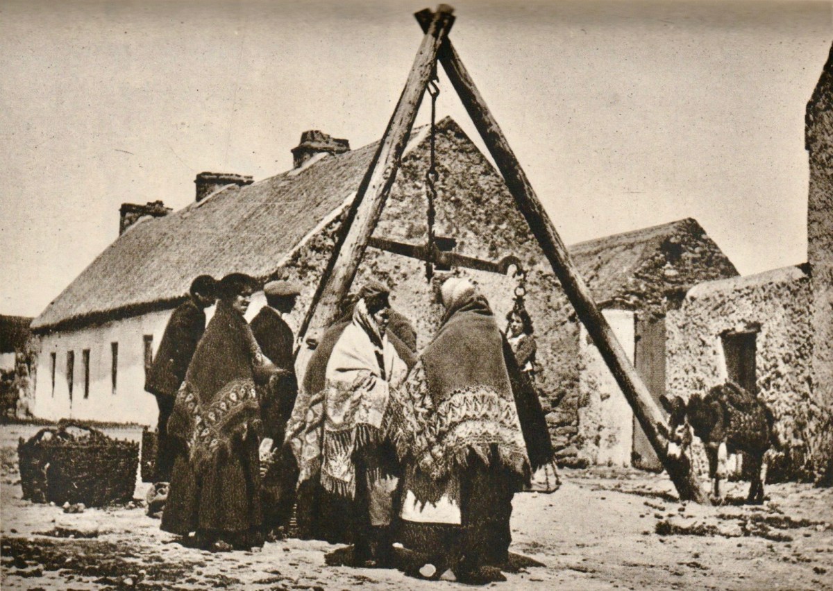
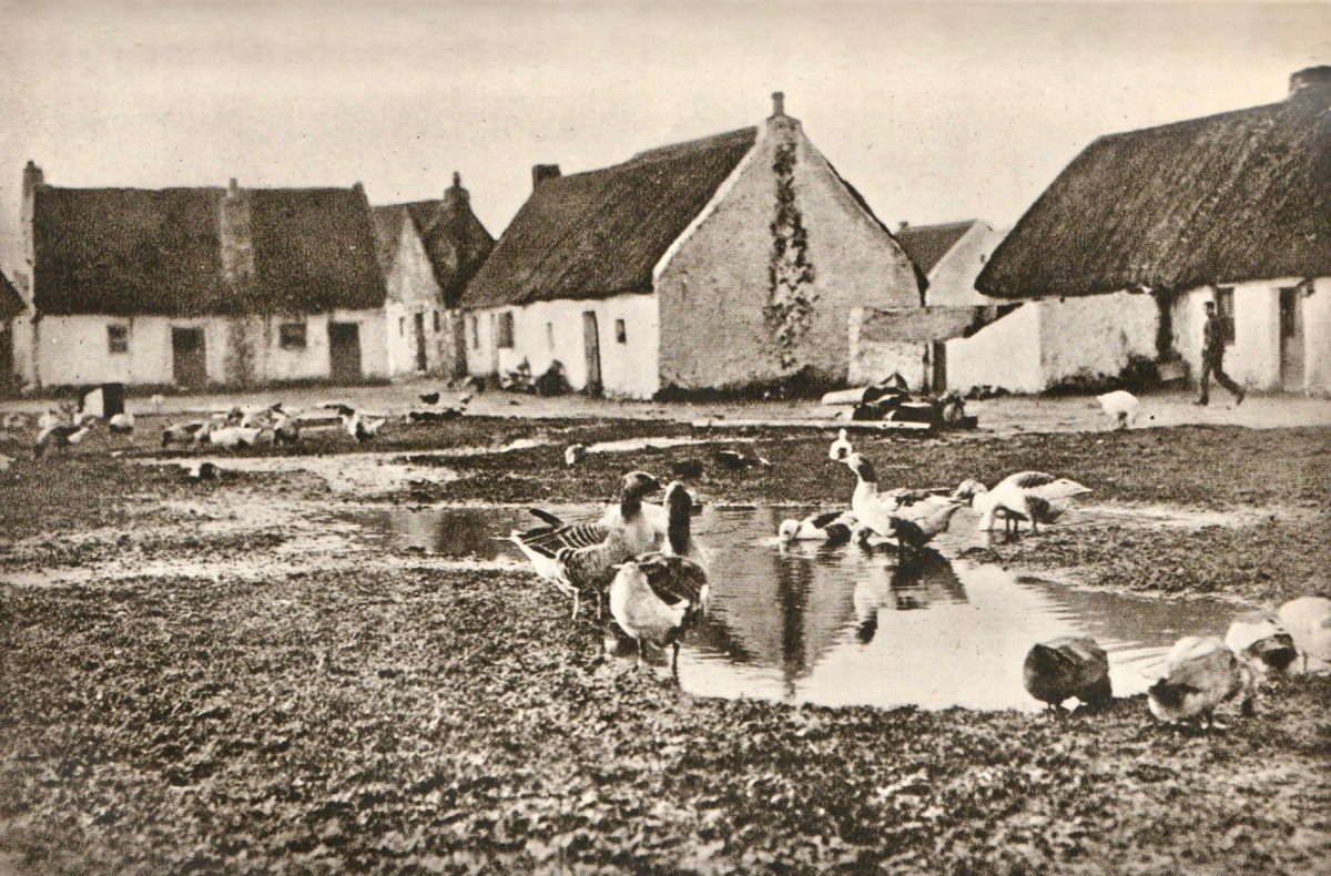
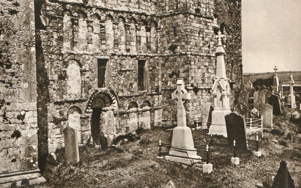
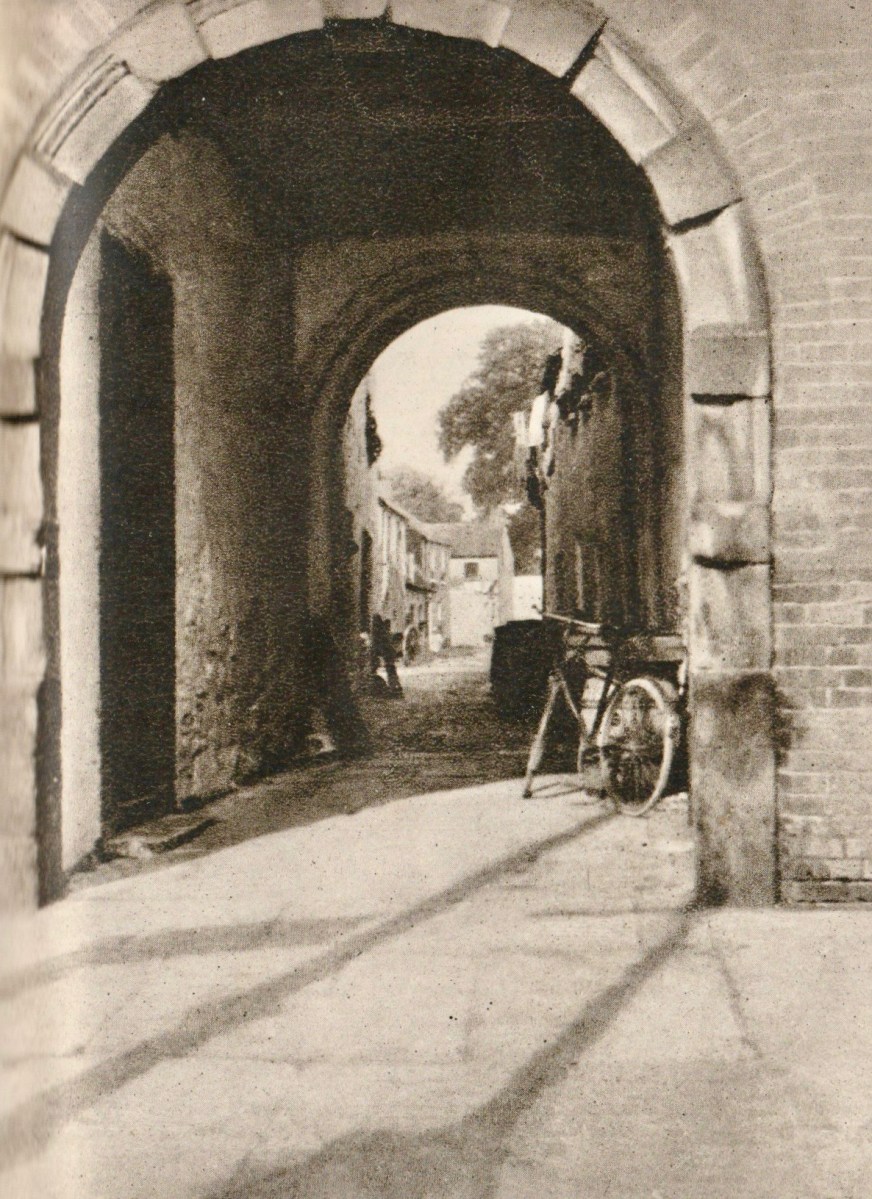
The upper photograph is titled ‘Market Day in Connemara’, and the lower one is ‘The Claddagh, Galway’. Most of the photographs are accredited to publishers or newspapers: H V Morton only provided a brace of pictures himself. They are below – ‘Cormac’s Chapel, Cashel’ and ‘An Archway in Killarney’:

From the dust-jacket of my nineteenth edition (which was published in 1945):

. . . In this book H V Morton describes a first visit to Ireland – not the tragi-comic Ireland of 19th century fiction, but the new Ireland. His charming book is the record of a motor-car tour right round the island, and in the course of his delightfully haphazard wanderings, he discourses on the Irish landscape, Irish people, Irish history, falls in love with Kerry and Connemara, attends a wake in Mayo, and crosses the hills of Donegal into Northern Ireland . . .

Frontispiece – In Search of Ireland by H V Morton

This is the first of two posts about H V Morton’s book. Next time around I will quote further from his text to try and give you an insight into this complex man, but also show you more of the illustrations from the book. None of us can resist looking so directly into the past!

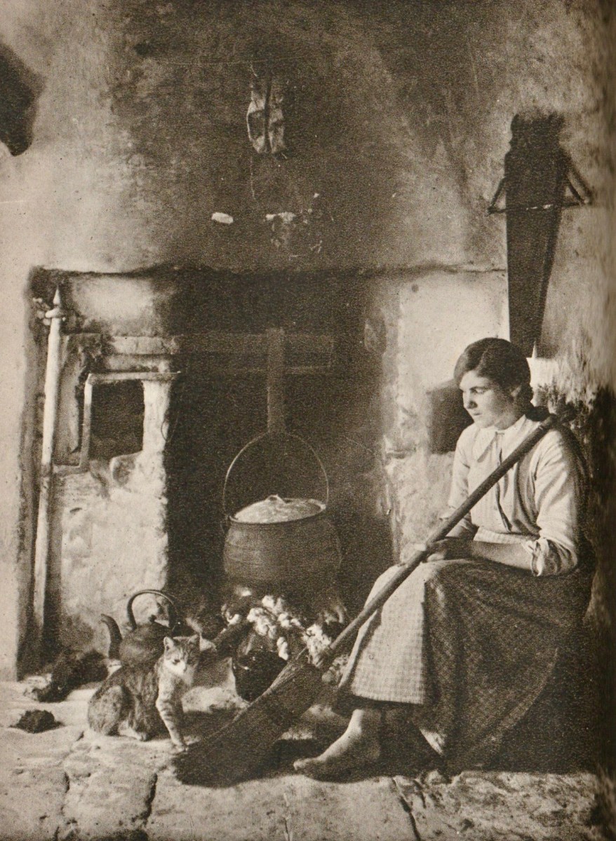
From ‘In Search of Ireland’ – above: Connemara Girl

Timoleague Tour

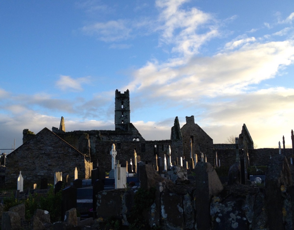
We had a great afternoon yesterday, exploring aspects of the history of Timoleague, in West Cork. Our Finola Finlay (above) was involved in an event organised by the Glass Society of Ireland . . . a professional all-island, non-profit association that opens a window onto the contemporary Irish Glass Community . . . The day’s proceedings were centred around the ecclesiastical buildings in the town, the earliest of which is the Franciscan Friary, now a substantial ruin beside the Argideen River.

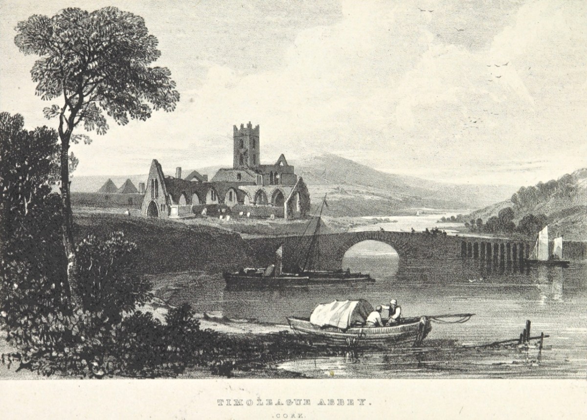
This view of the ruined ‘abbey’, above, dates from 1830. It is located on the site of an early Christian monastic settlement founded by Saint Molaga, from whom the town of Timoleague derives its name. A story that I heard for the first time yesterday was told by local historian Donal Whooley: the Saint was trying to found his community back in the sixth century, but everything that he and his followers built fell down the following day. According to legend, it was originally to be built a mile west of Timoleague, but all work done on that site by day would fall down by morning. Interpreting this as God’s wish that the church should be built elsewhere, Molaga fixed a blessed candle on a sheaf of corn, and floated it down the Argideen river, siting his settlement on the spot that it came ashore, on the big bend in the waterway where the Friary ruins can be found today. Here is a view from the great three-light window which looks out to the east over the river. Finola told us that, in its heyday, this window would have been filled with beautiful medieval glass, bringing light and colour into the substantial nave of the church.

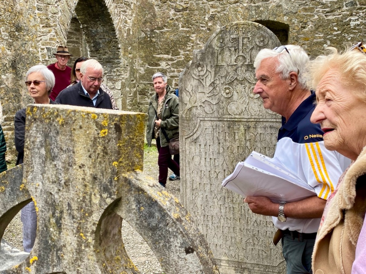
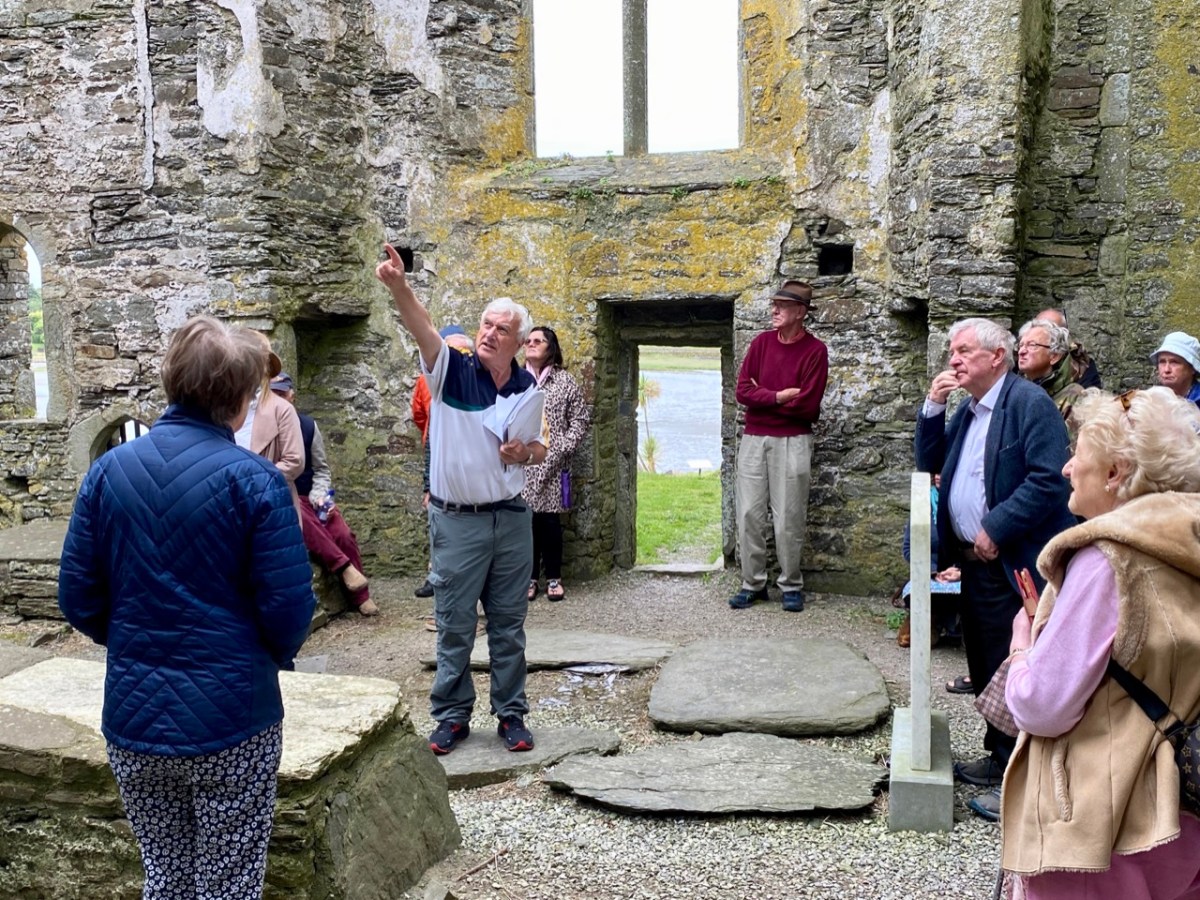
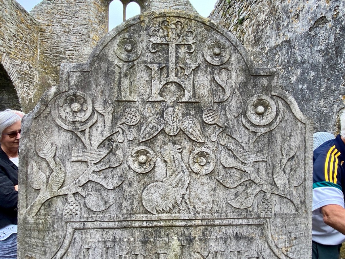
That’s Donal, above, leading our group of almost fifty keenly attentive people who shared an interest in the town and its history. To the right (in a blue jacket) is Father Patrick Hickey. He told us of the symbolism of the cockerel you can see on the large headstone in the nave (below), dating from 1821. Evidently some of the disciples were standing together while Christ was being crucified: nearby stood a pot in which a rooster was being boiled for supper. Judas reportedly said: do you think there’s any chance that our Lord will rise again? Mrs Judas retorted: there’s about as much chance of that as there is of that rooster jumping out of the pot and crowing! At which point – of course – the cockerel did just that!

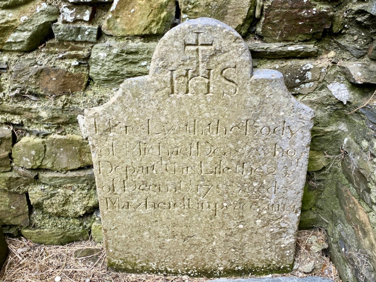
It was the custom to place burials in ruined church buildings. Here’s another fine headstone in Timoleague Abbey, to Michael Deasy, ” . . . who departed this life on the 23 December 1755, aged 33. May he rest in peace. Amen . . . “

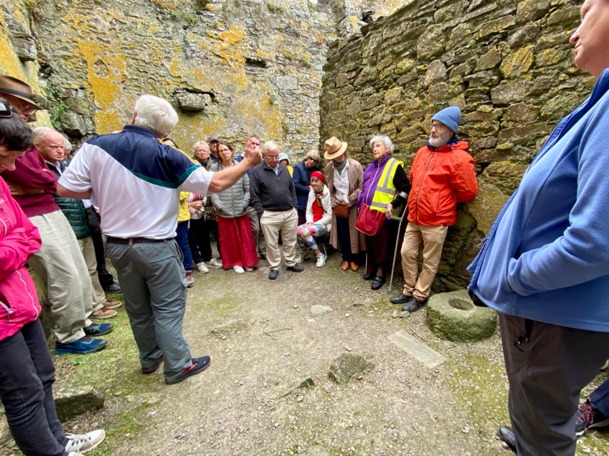
Lively discussions ensued on the efficacy of wart wells, and Donal suggested that this repurposed bullaun stone, above could be the oldest human element on the whole site!

Here’s an aerial overview of the geography of Timoleague. The Friary ruin is only one of many historic sites of interest which caught our interest yesterday. It was Finola’s task to introduce us (or those of us who had never seen it) to the little Church of the Ascension.

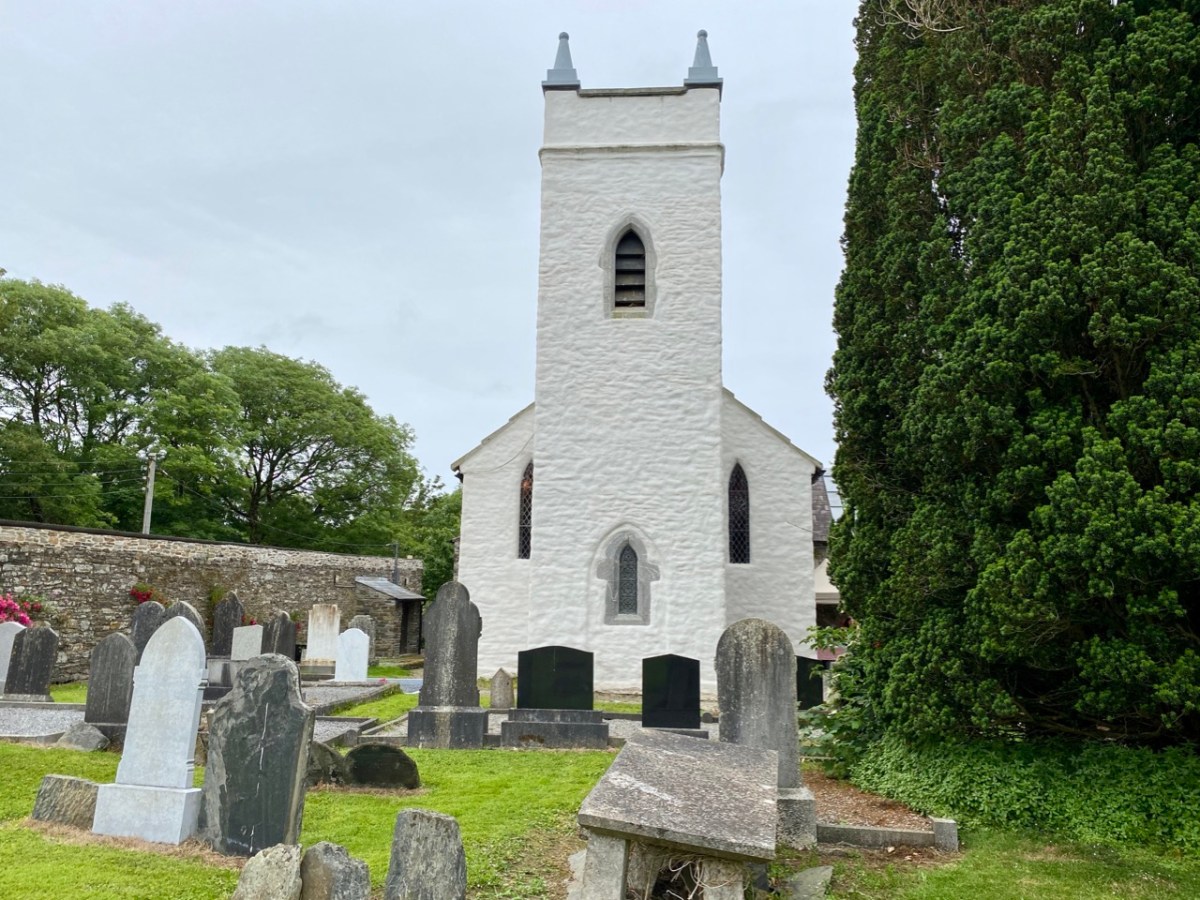
This building is currently undergoing major improvement works: the lime rendered tower has created a striking landmark in the town. This work has become necessary by water penetration through the stonework leading to deterioration of the fabric. The conservation project is led by a hard-working Parish committee who also served us delicious tea and cakes since the tour was a fund-raiser for their efforts.

You can see Finola addressing us in this little Protestant church in the header picture. Above is one example of the fine early glass here, this one by Clayton and Bell. For a fuller description of this church and its many stories, read our post here.

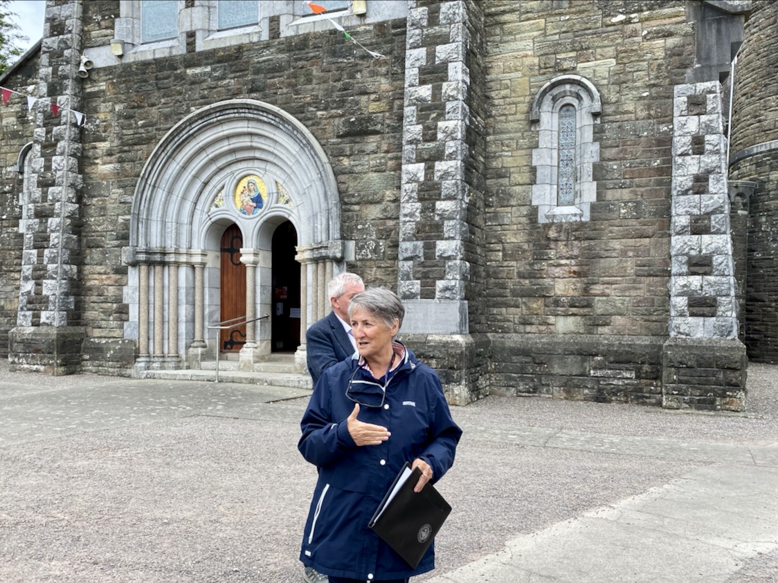
The early OS map extracts, above, give further context to the town’s history. The top map dates from the 1830s and comparison of the plan forms of the Church and Chapel buildings with those in the lower map, which dates from c1900, and then the present day aerial view (higher up the page) shows the degree of change which has taken place. We finished our town tour in the Church of the Nativity of the Blessed Virgin Mary. Here’s Finola standing outside it, below, prior to giving us an introduction to the history of the building, and its windows.

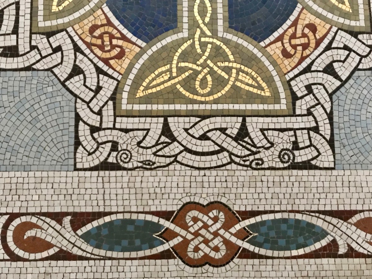
The fine Harry Clarke Studio window (one panel of which is shown in the upper picture) is a ‘must-see’, as is the mosaic work from the same church. The building work for this Catholic church, replacing an earlier chapel, dates from 1912.

Father Patrick Hickey nicely rounded off our day of Timoleague history by showing us the replica of the ‘Timoleague Chalice’ (above). The replica is kept in this Catholic church. According to Fr Hickey, ‘back in the penal days’ three monks were found floating in an open boat just off the island of Cape Clear. They had with them a box, or trunk. They were brought ashore but two of them died. The other asked that the box be kept on the island – but unopened – until he could return to retrieve it. He never returned, and in later years another visiting Priest said it could be opened. Inside was a gold chalice – blackened with age – and some liturgical vestments. The vestments fell to dust immediately, but the chalice was sent away for inspection, and was confirmed as coming from the Friary at Timoleague, where the replica is now kept.

Here is another ‘souvenir’ of Timoleague – it’s an extract from a poem written in Irish: The Mourner’s Soliloquy in the Ruined Abbey of Timoleague. The poet, Seághan Ó Coileáin, ” . . . was a Gaelic-language poet born in County Cork, in a time of faded Irish glory. He lived as a village schoolmaster, with a large family and no patron . . . “

Abroad one night in loneliness I stroll’d,
Along the wave-worn beach my footpath lay;
Struggling the while with sorrows yet untold,
Yielding to cares that wore my strength away:
On as I mov’d, my wayward musings ran
O’er the strange turns that mark the fleeting life of man.

The little stars shone sweetly in the sky;
Not one faint murmur rose from sea or shore;
The wind with silent wing went slowly by,
As tho’ some secret on its path it bore:
All, all was calm, — tree, flower, and shrub stood still,
And the soft moonlight slept on valley and on hill.

In Search of Wells and Railway Lines

We are often invited to join our friends Amanda and Peter Clarke on their journeys of exploration into the wild places of West Cork and Kerry. We even stray over into Limerick on occasion! And it’s usually all to do with Holy Wells. Amanda has been writing about them for years, and you can find her accounts of them in Holy Wells of Cork & Kerry, here.

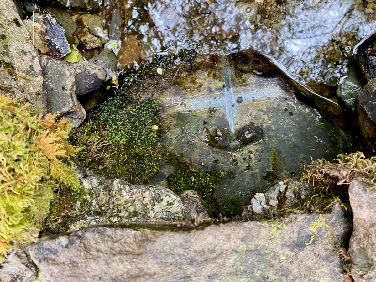
Recently we were at Loo Bridge, near Kilgarvan, Co Kerry. There’s a well there – Tobar na Naomh – All Saint’s Well, and there’s a lively account of it in the Dúchas Schools Folklore Collection. Evidently a ‘band of Saints’ travelling over the mountain to Gougane Barra stopped at this well for refreshment. One of them (St Finnbarr) left his spectacles behind and didn’t realise it until he was a long way up the steep path. Fortunately, there were so many of his companions that he was able to pass a message back down to those who were still starting off from the well and the spectacles were retrieved! But – because they were holy spectacles, they left their imprint on the rock at the well – forever. There it is in the picture above.

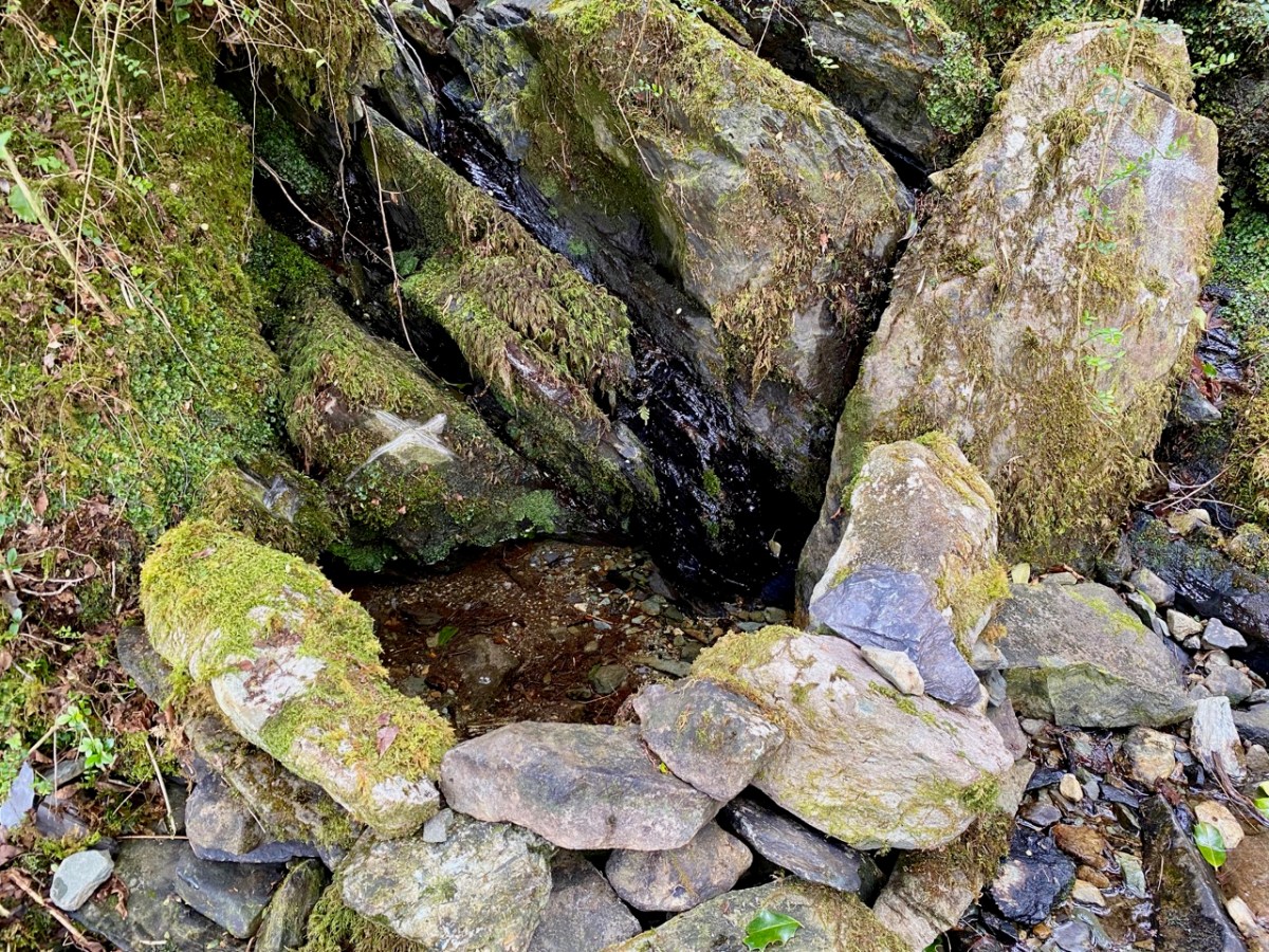
There are several crosses etched into the stones around this well by visitors. It’s wonderful to think of the continuity of those pilgrims seeking out the well and keeping its veneration alive – probably through countless generations.

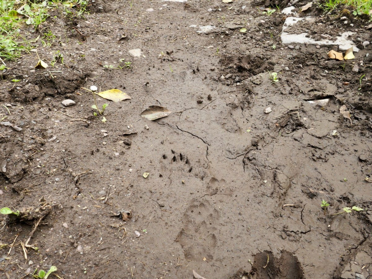
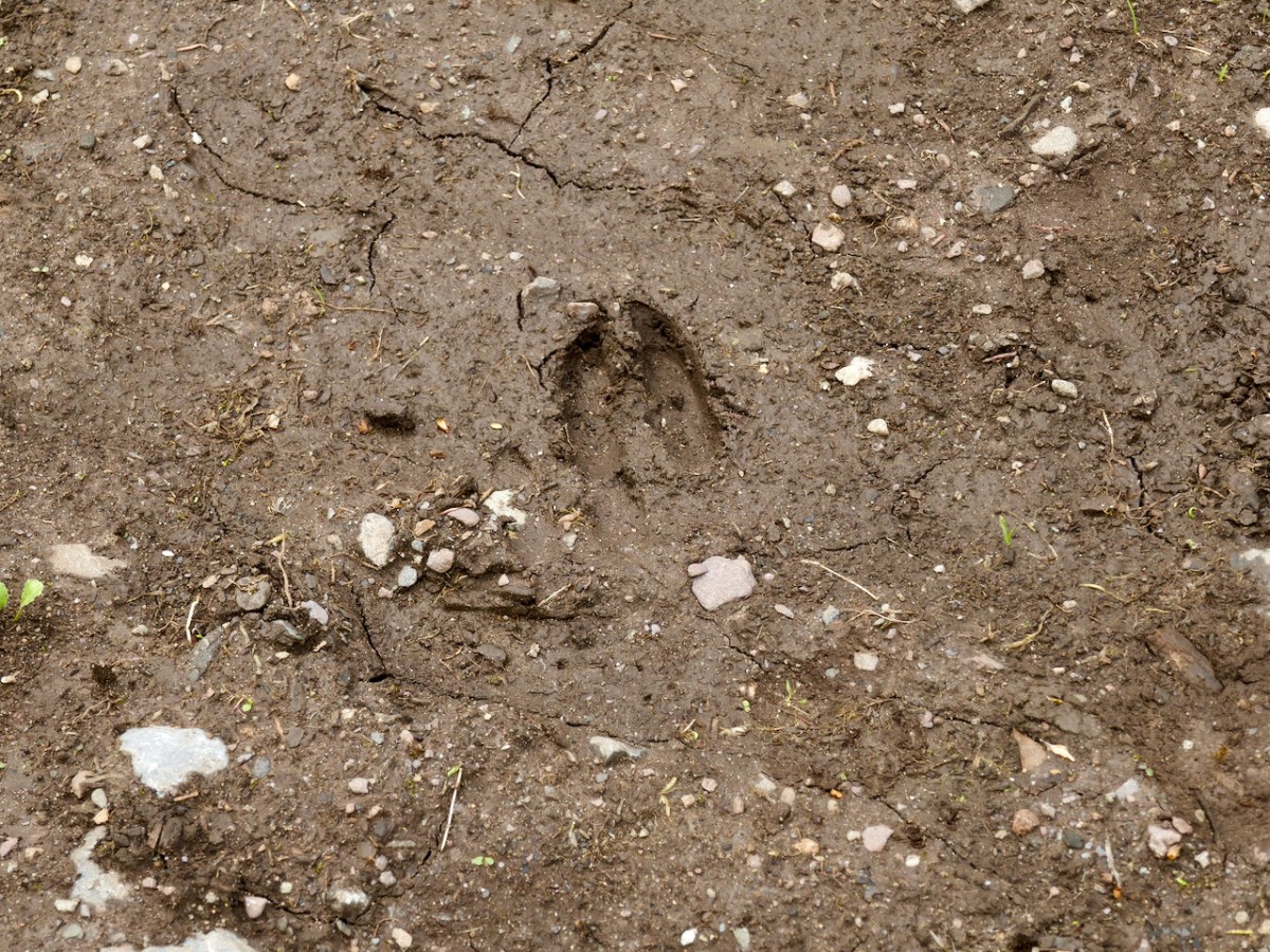
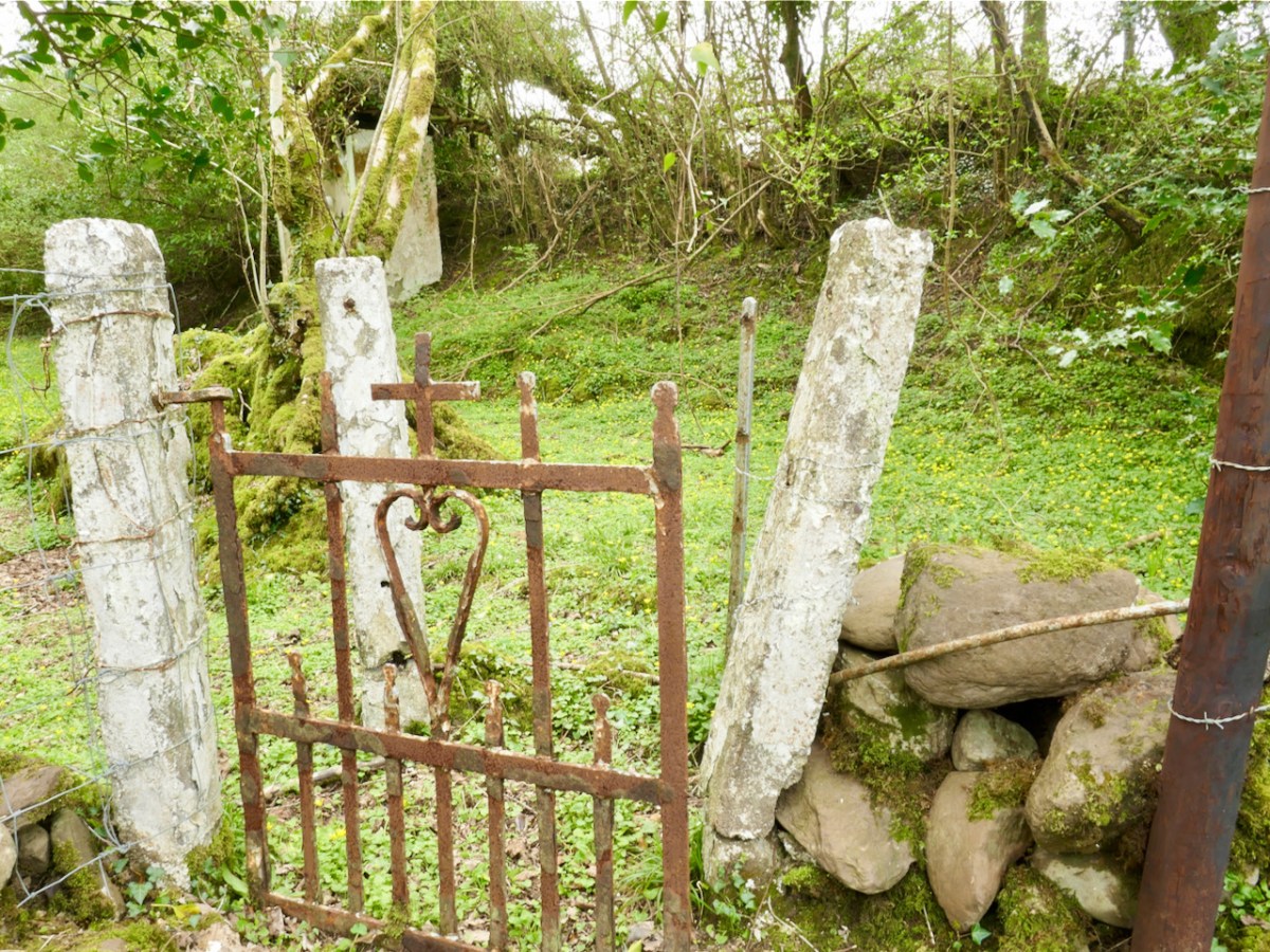
Another well on our agenda involved us walking over a long, muddy trackway. We could see the prints of the feet of other travellers: the top pic looks like bear paws (although perhaps more likely to be badgers), whereas the cloven hoof above is either Satan or a deer. We met none of these on the path that led, eventually, towards the Wells of St Peter and St Paul.

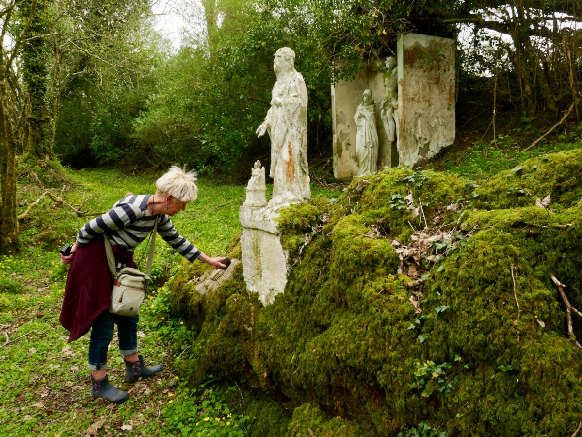
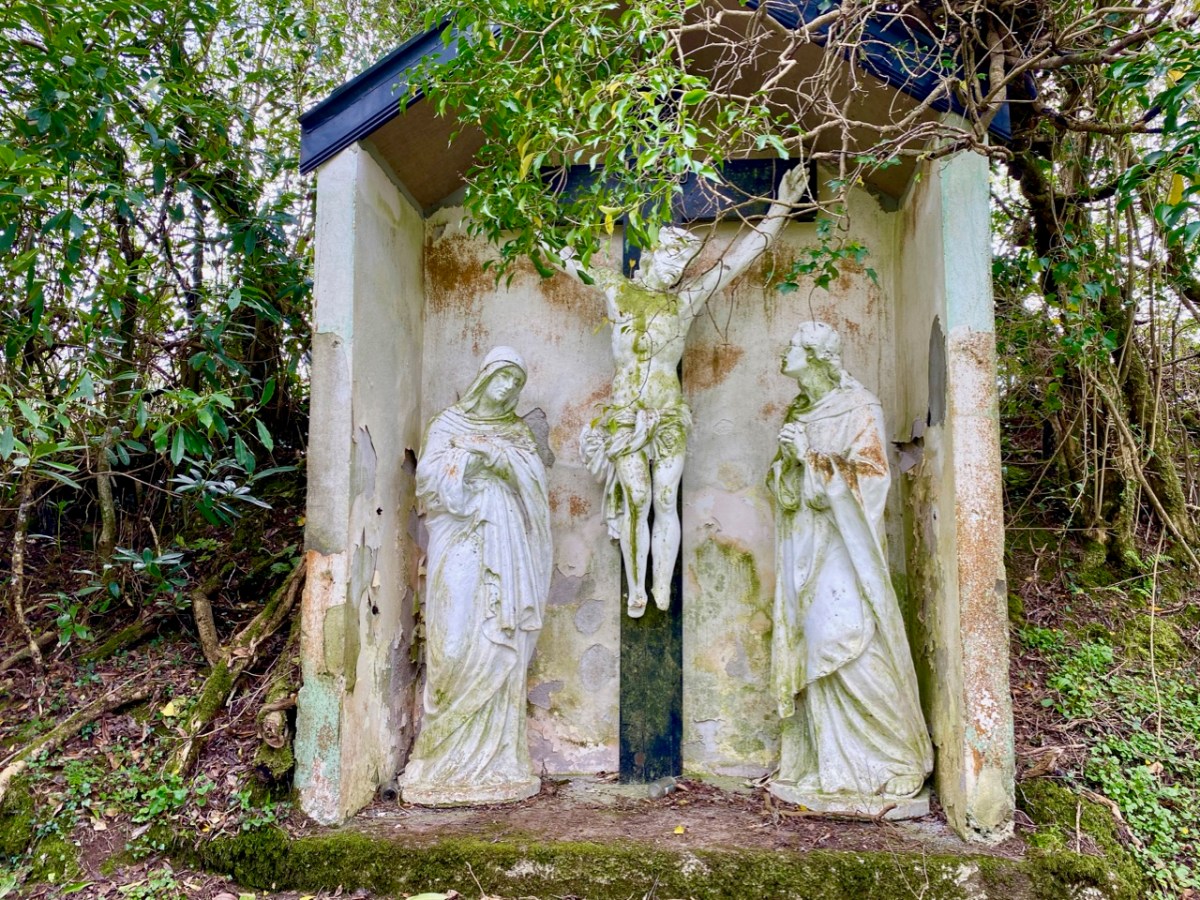
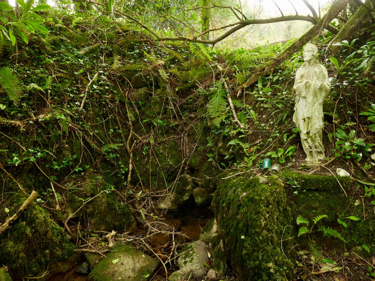
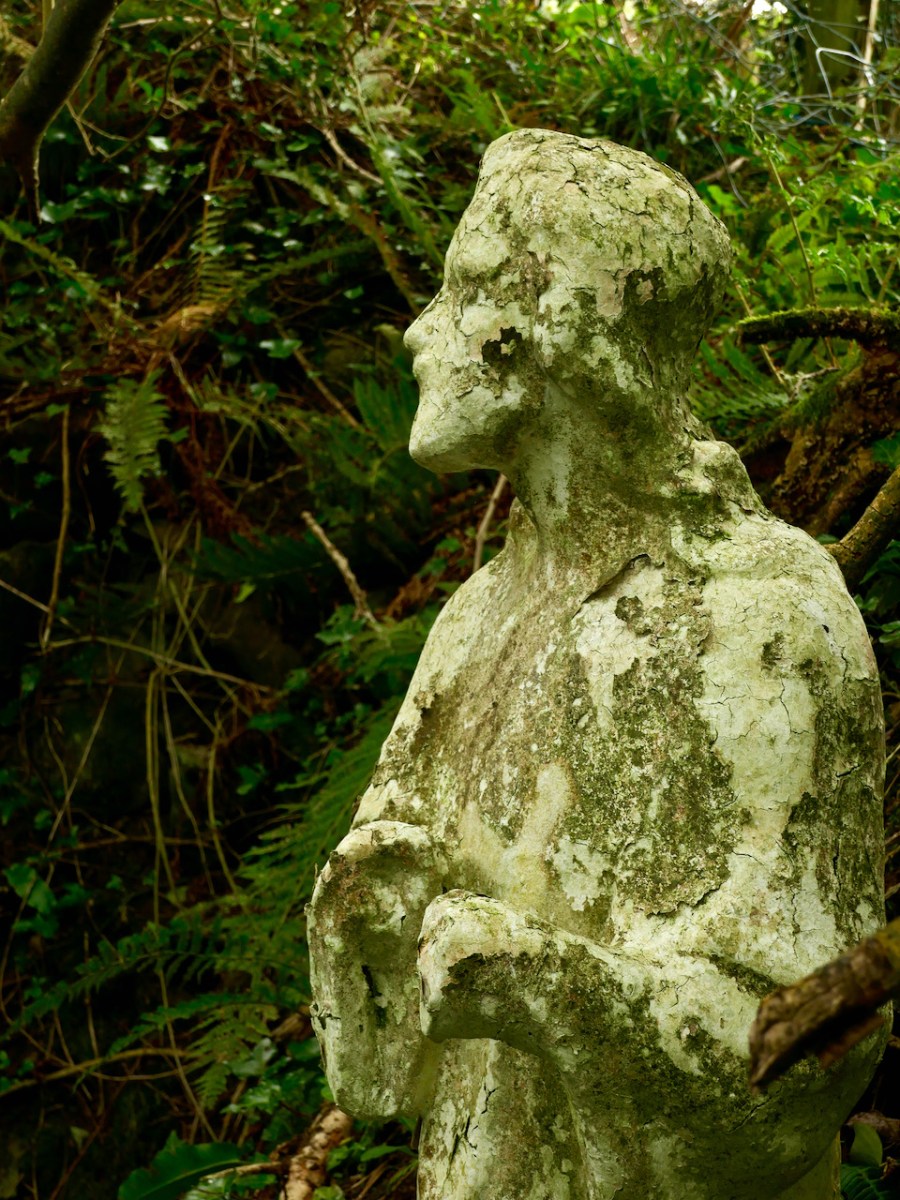
St Peter’s well is clearly defined (above, with Amanda looking on). Beyond it is a weather-worn shrine with a Calvary depiction. It’s quite a surprise to find such a substantial life-sized scene in a remote wood.

A little way to the east of St Peter is St Paul (above). He looks down on his own well. Note the modern mugs, implying that the well is still in use.

Both St Peter and St Paul share their feast day on 29th June. This is the day when these wells should be visited.

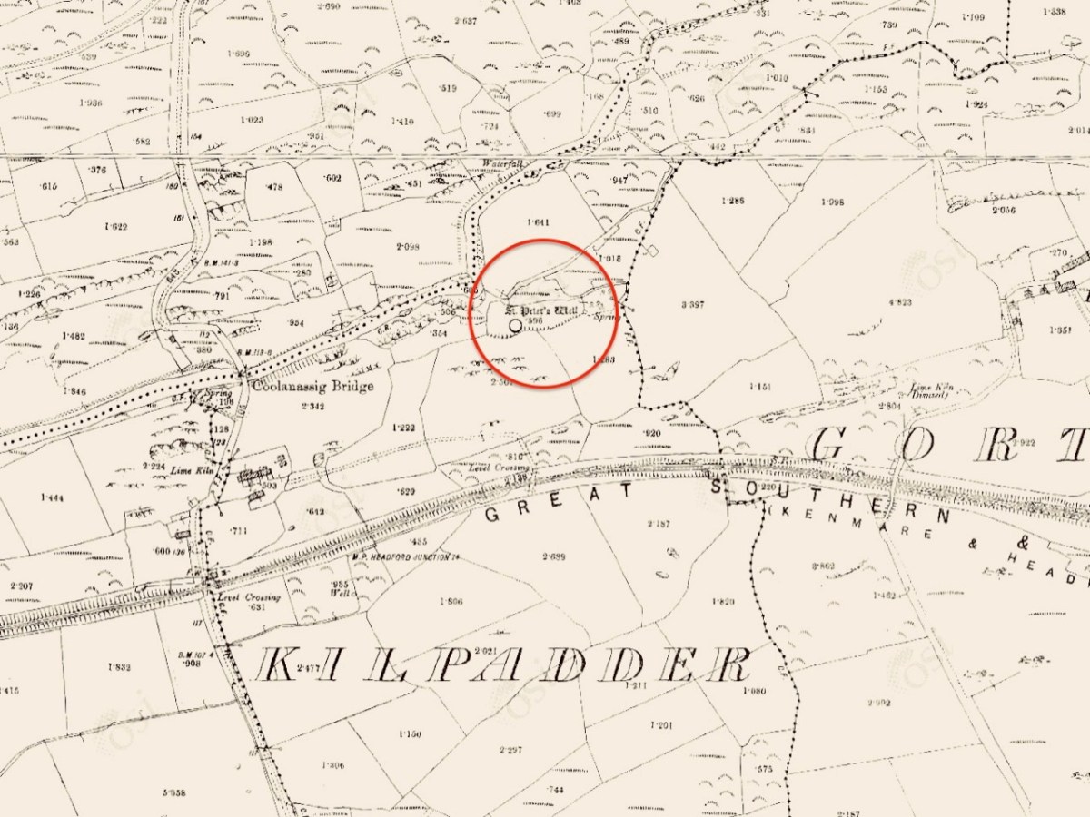
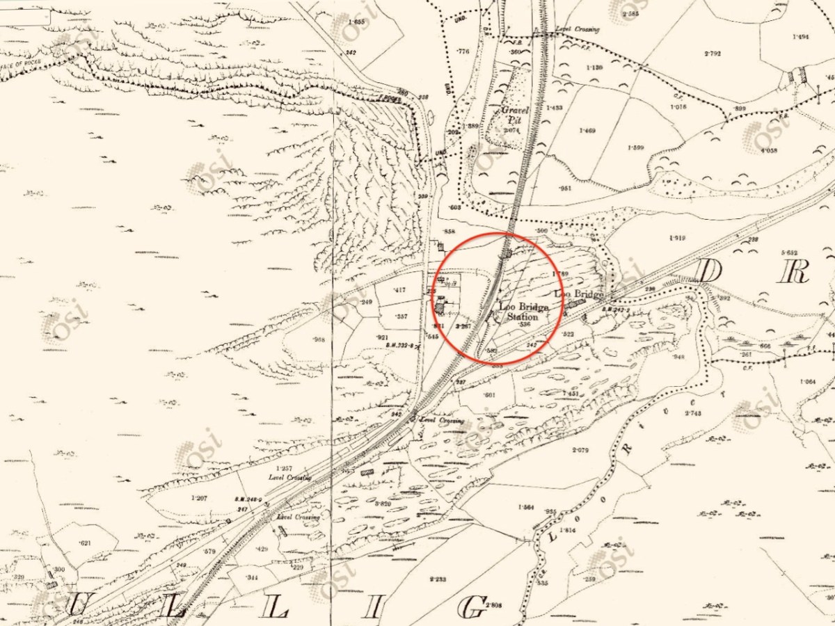
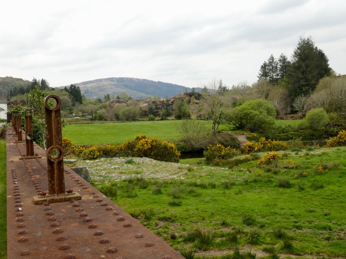
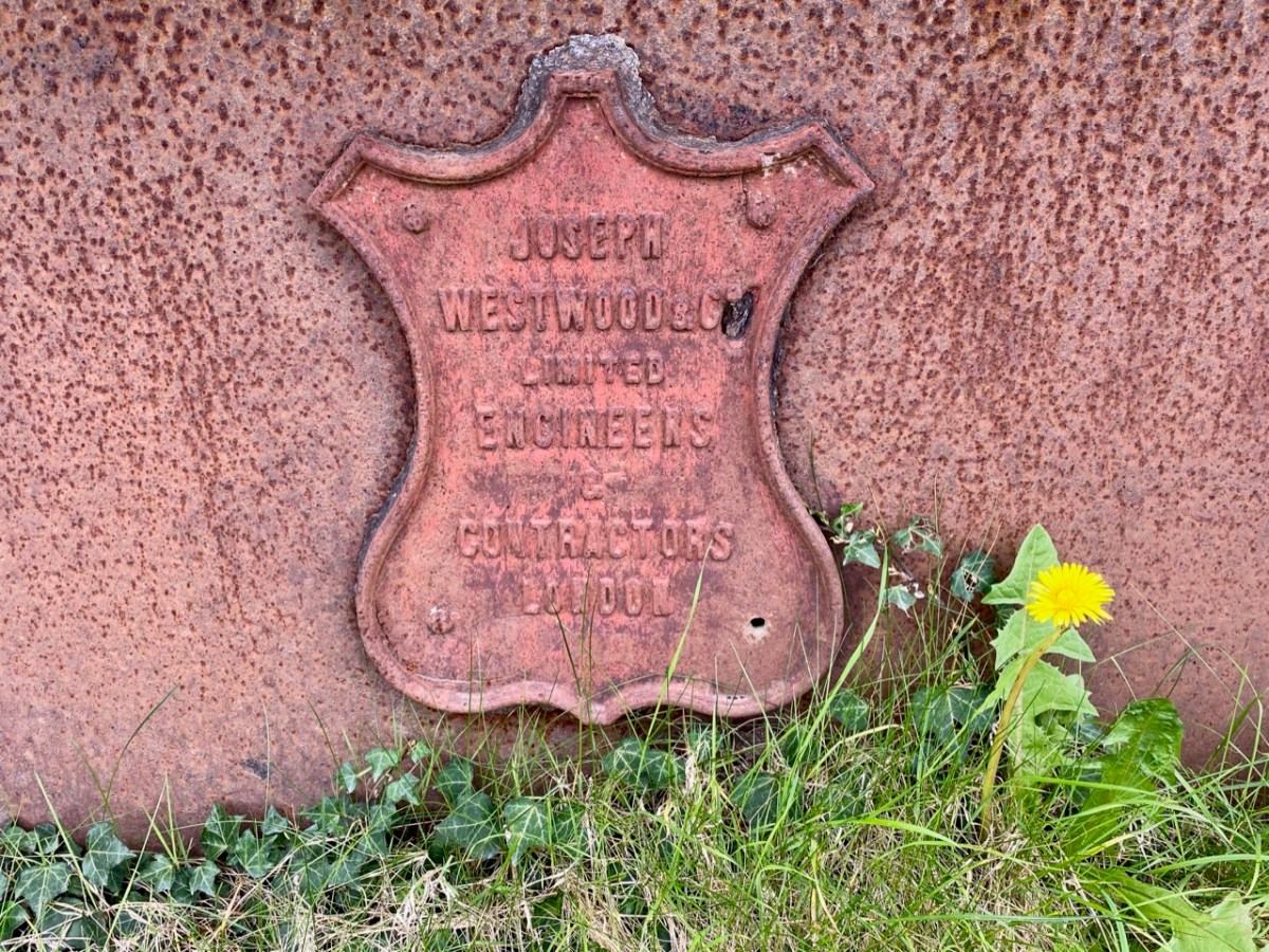
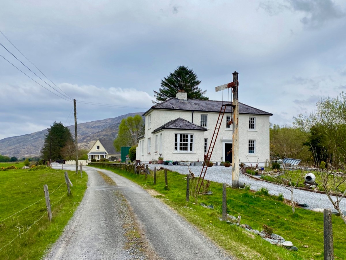
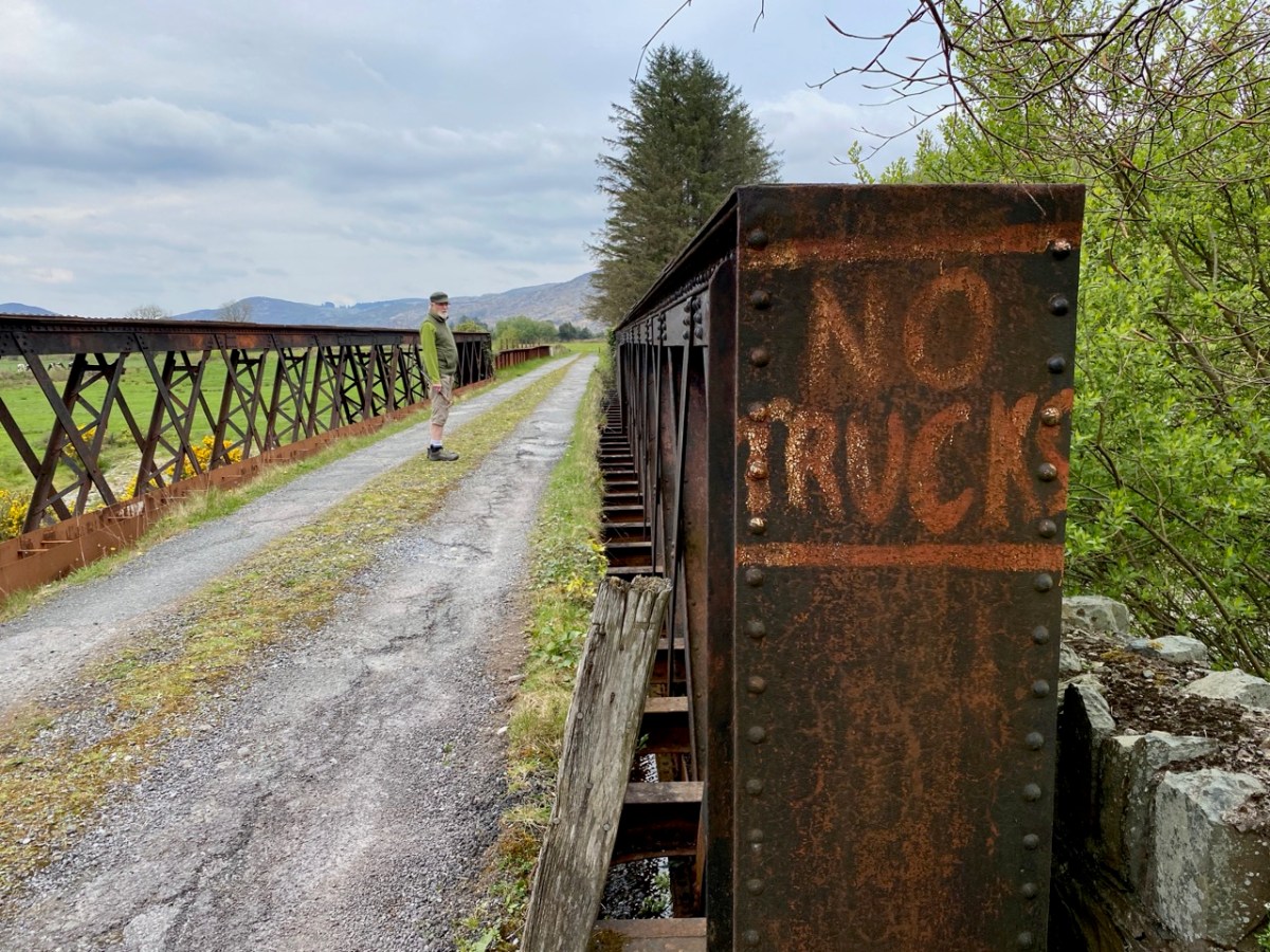
The 6″ OS map, above, dates from the late 19th century. St Peter’s well is marked on it, while St Paul’s only gets mentioned as a spring. Not far to the south is a railway line: The Great Southern Railway: Headford Junction to Kenmare. This was opened in 1890 and closed in 1959. While the track itself is long gone, many features can be traced. We stopped at Loo Bridge where the old station remains, as does an adjacent steel river crossing.

I am always saddened to see abandoned railway lines: they could so easily have had a new lease of life in our present environmentally conscious world. Regardless of their potential functionality, ‘heritage railways’ are also highly popular tourist destinations. I’m afraid, however, that the work and costs now required to recover them is unlikely to be invested any time soon, unless there is a big change in attitude and priority.

Lost railways and fading wells: unlikely bedfellows for a day out in Kerry. But our travels are always fulfilling, and diversity is the essence. In Ireland we can never run out of places to visit, or matters to be researched and recorded. Join us again, on our next expedition!

Rock Art – A Diversion to Wicklow

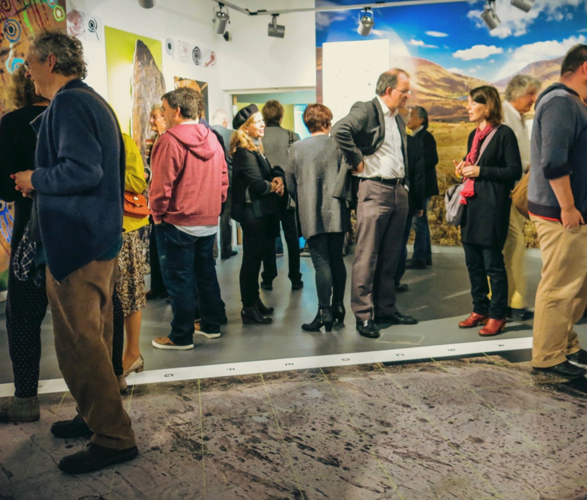
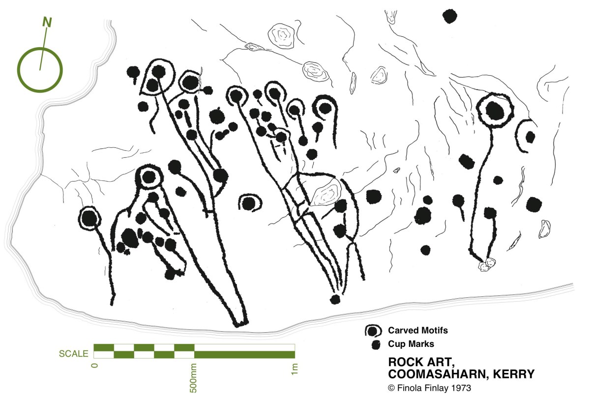
While writing this Journal over the years, Finola and I have included many examples of Prehistoric Rock Art, mainly on the west side of the country, in Cork and Kerry. Here is just one – you can find others through the search facility in the header. Finola’s UCC thesis from 1973 also concentrated on specimens from the southwest and her own drawings based on tracings direct from the rock surfaces provide a unique record of this form of prehistoric art. They have formed the basis of exhibitions which we have promoted over the years: here’s one from 2015.

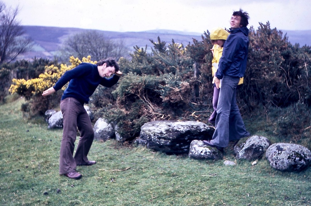
Upper: the opening of our Rock Art exhibition at Cork Public Museum , October 2015 and (lower) one of Finola’s drawings from 1973. Another area in Ireland which has a concentration of Rock Art is Wicklow. We have been spending a few days in that county, and decide to go and have a look for some examples there. Finola dug out from her archives a photo which she took in 1972 when she and some college friends visited a Wicklow site:

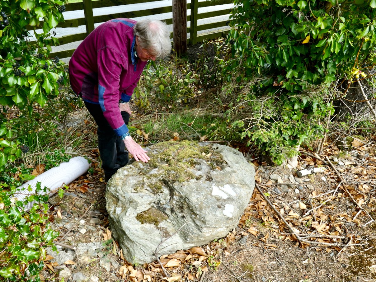
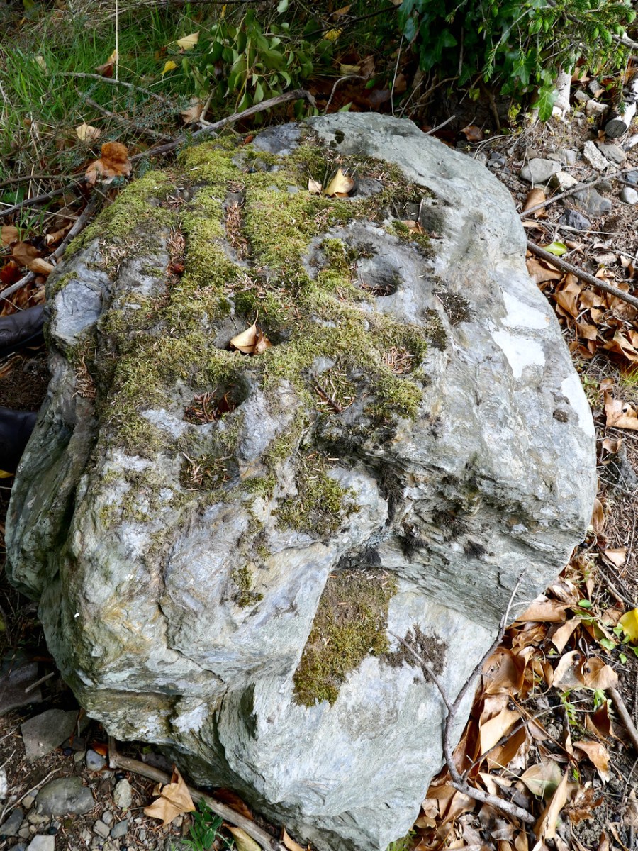
Could we find that particular rock again? Well, we think we did, but it has been moved in fairly recent times. Here it is in its new setting (we believe) – it’s not very propitious:

The present site is in the townland of Togher More, behind a fence lining a main road. The National Monuments record tells the story, which confirms that Finola’s earlier photograph was taken in the townland of Baltynanima:

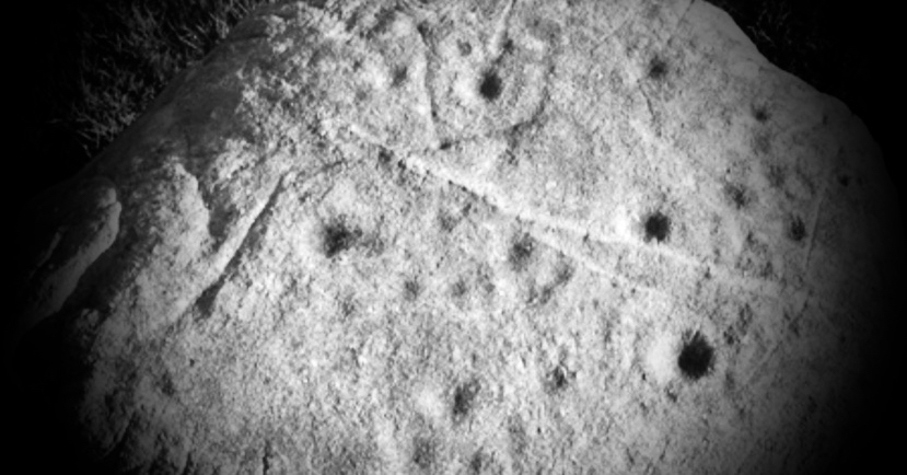
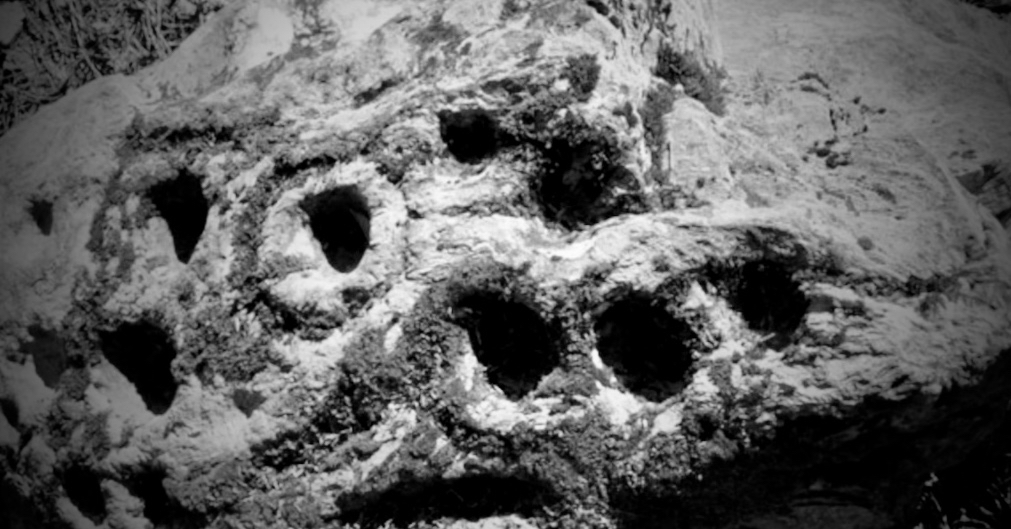
. . . Class: Rock art (present location) Townland: TOGHER MORE Description: Found during ploughing c. 1.8m to the SW in Baltynanima and moved here in the mid 1980’s (see W1018-036—- for original location record). An irregular shaped schist boulder (L 1.3m; W 0.9m; T 0.5m) with 16 cup marks and the remains of another where the corner of the boulder appears to have come away. The four largest cups (diameters 10-12cm; depth c. 6cm) are enclosed by circles (max ext. diameter 20cm) formed by incised lines (widths 1.5-2cm; depths 1cm) with the exception of one which has only a semi circle incised line around it. The remaining 13 cups have diameters of 6-8cm and depths of 4-5cm. There are also three incised linear grooves (L 14- 22cm; W 4cm; D 2.5-3.5cm) visible on the stones surface. Described, photographed and drawn by Price on the 29th January 1933 . . .

National Monuments Record WI018-049

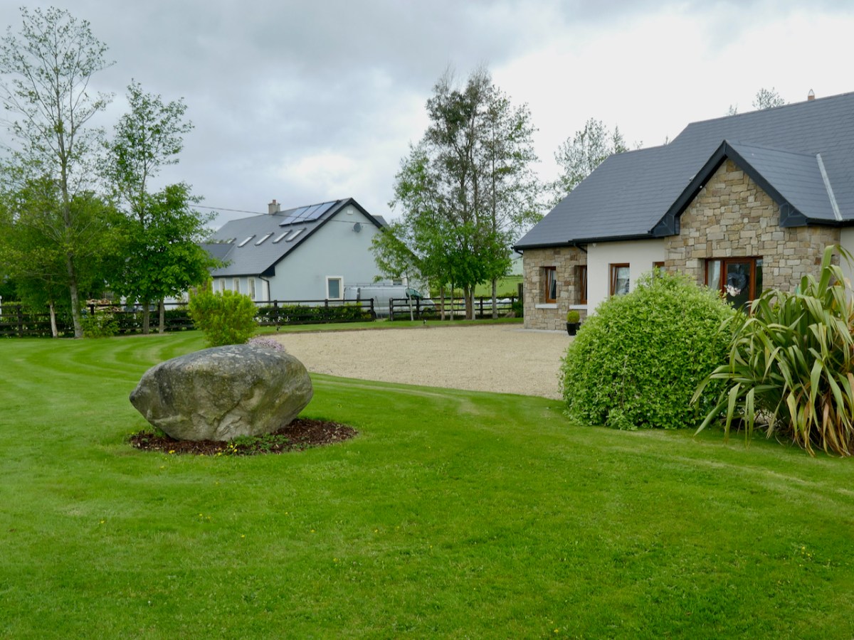
It’s not unusual to find that ‘portable’ stones with Rock Art on the surface are moved, usually to protect them if a site is to be developed. Here’s another example we found, in the townland of Knockrahen:

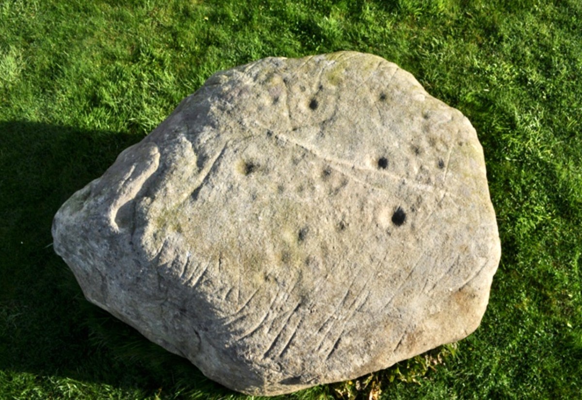
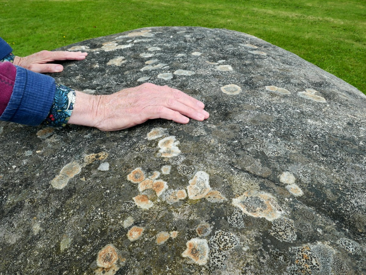
In this case the rock was found while the foundations were being dug for the house. The owner (with whom we spoke) noticed the markings and decided to keep it as a feature in her new garden. The photo below was taken by Chris Corlett for the National Monuments records. Thank you, Chris (and the NM), for allowing us to use this – and the detail on the header pic. Below Chris’s photo is Finola’s, with my hand in the shot to give it scale.

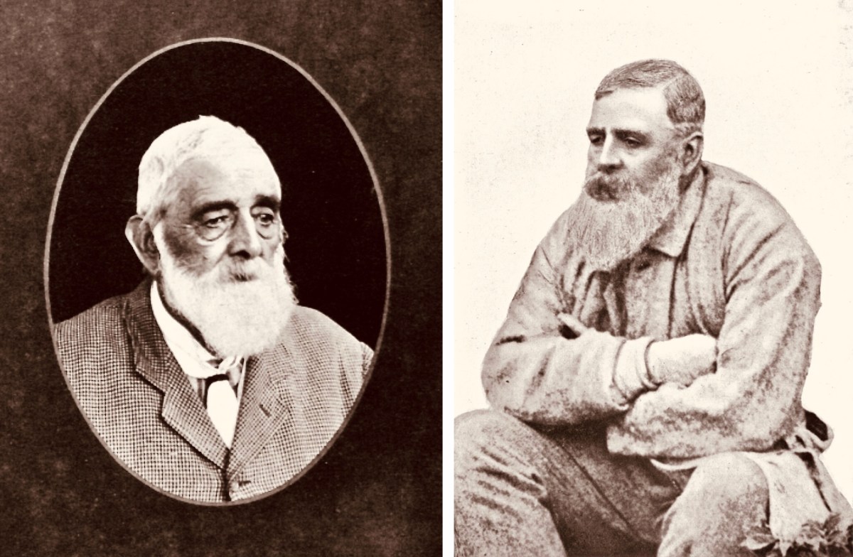
While out in Wicklow we noticed that many of the National Monument records of Rock Art are credited to George Henry Kinihan (1829 – 1908). He was a geologist who also had an interest in archaeology. His home was in Clontarf and he is buried in the Protestant churchyard in Avoca, Co Wicklow. He was involved in his lifetime in engineering works, particular railway construction, but was also a keen Rock Art enthusiast.

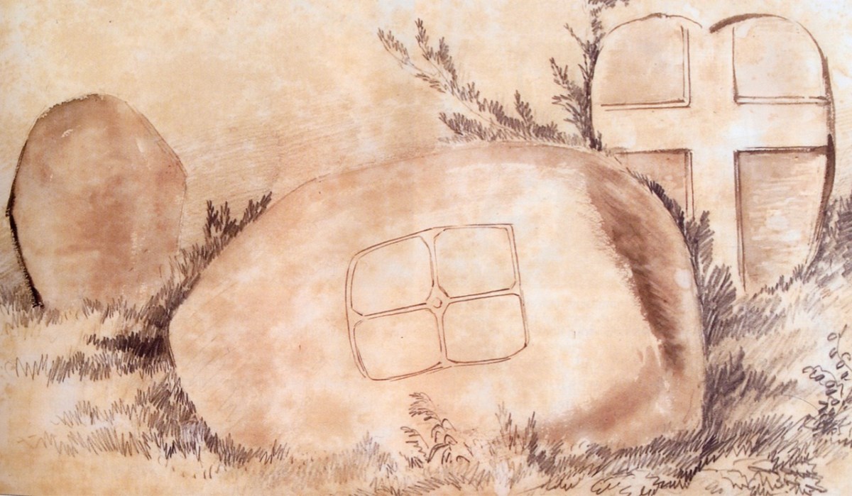
Two portraits of Kinihan: he was said to have been of ‘strong and massive build’. He spent some of his early years working under George du Noyer of the Irish Geological Survey – who shared with him an interest in antiquities in the landscape. Here is a du Noyer drawing of cross slabs in Co Wexford:

On du Noyer’s death in 1869, Kinihan was appointed District Surveyor of the Geological Survey, in charge of field work and mapping, and oversaw the completion of the One Inch Geological Map of Ireland. He also became President of The Royal Geological Society of Ireland in 1880. Now, here is a conundrum:

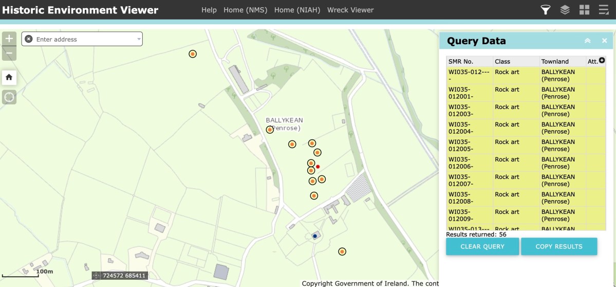
Here is part of the current Historic Monuments Viewer, showing the location of archaeological sites in Ballykean, Co Wicklow. All the yellow-and-red dots are recorded as Rock Art, discovered by Kinihan (there are 14 just in this small area of the townland). In every case, the site is described in detail, with numbers of cupmarks etc recorded. But also – in every case – the description concludes: ‘…The site indicated by Kinahan in 1884 was inspected in 1990, however this stone was not located…’ These are not the only instances in Co Wicklow where Rock Art found by Kinihan can no longer be traced. Does this mean that all these instances have now been destroyed or buried? Is it possible that this experienced archaeological enthusiast could have misinterpreted so many sites? It remains an adventure for us – another day – to go in search of some of these enigmatic examples to see if we re-establish the credibility of this Wicklow giant in this very particular specialism.